






Sentiero Frassati - Leg 1
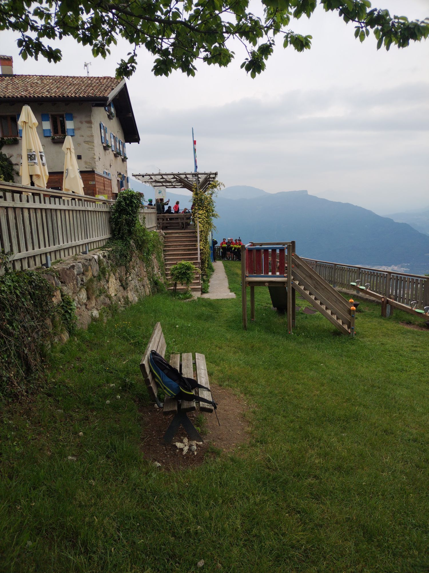
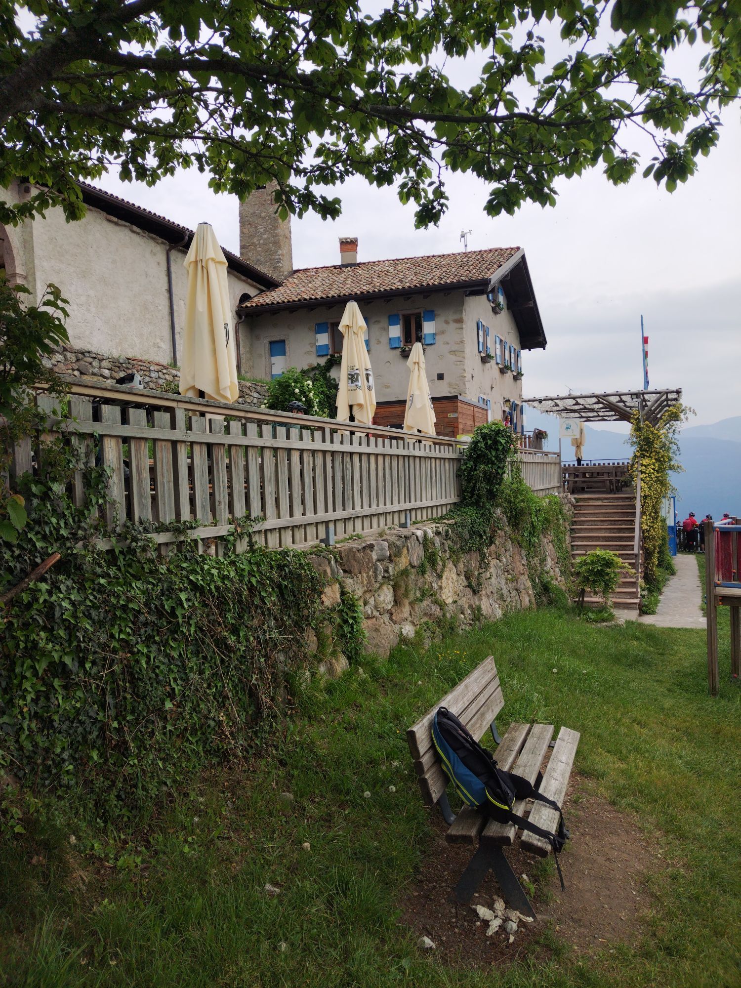
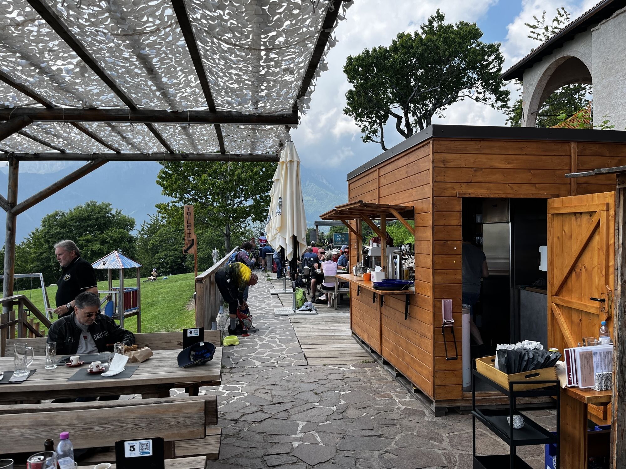
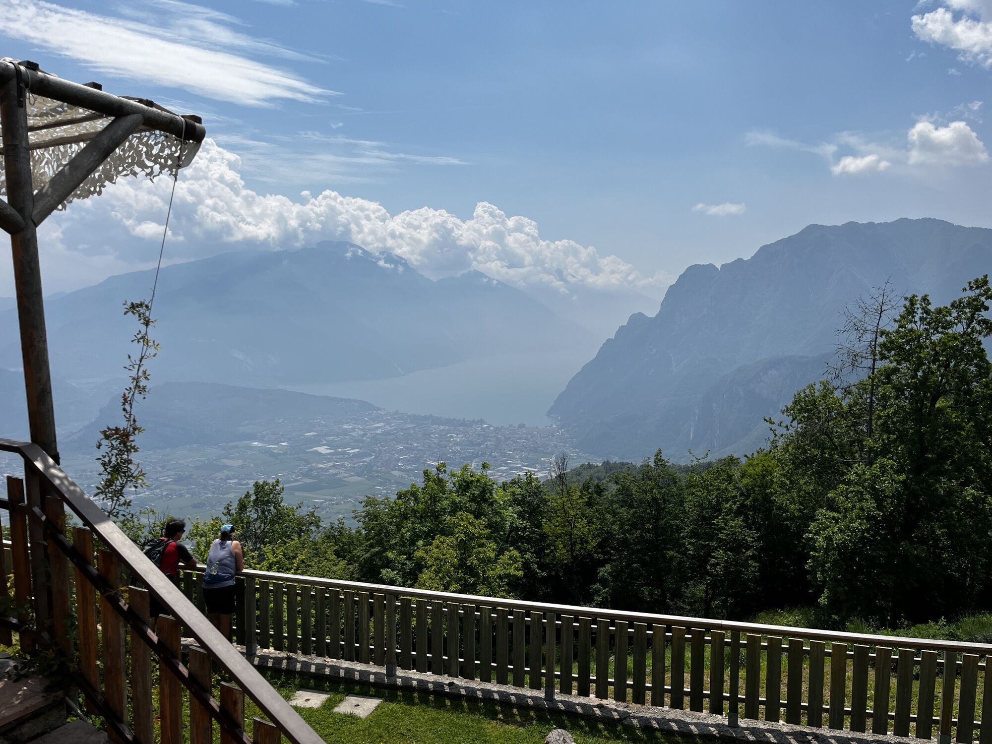
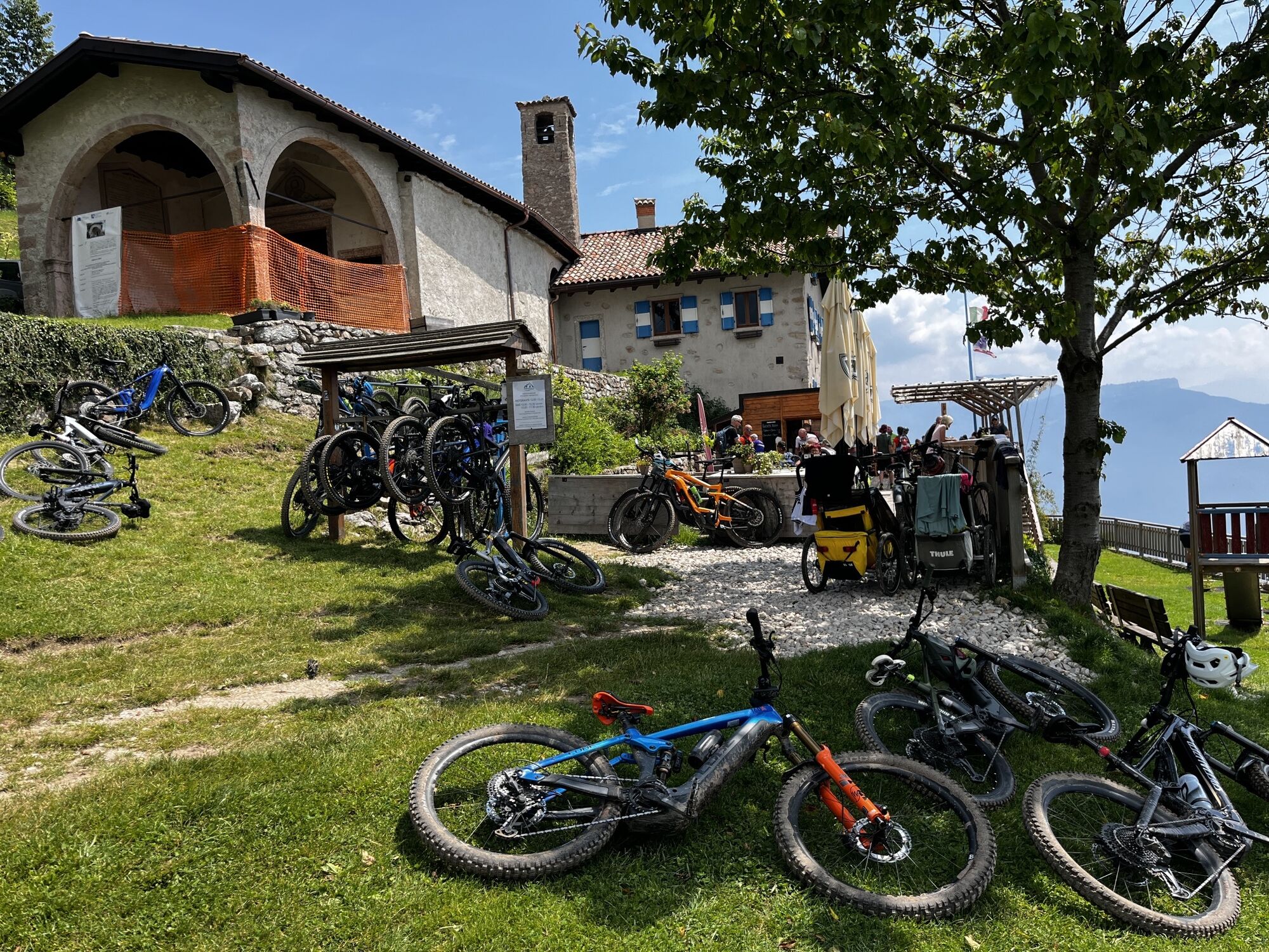
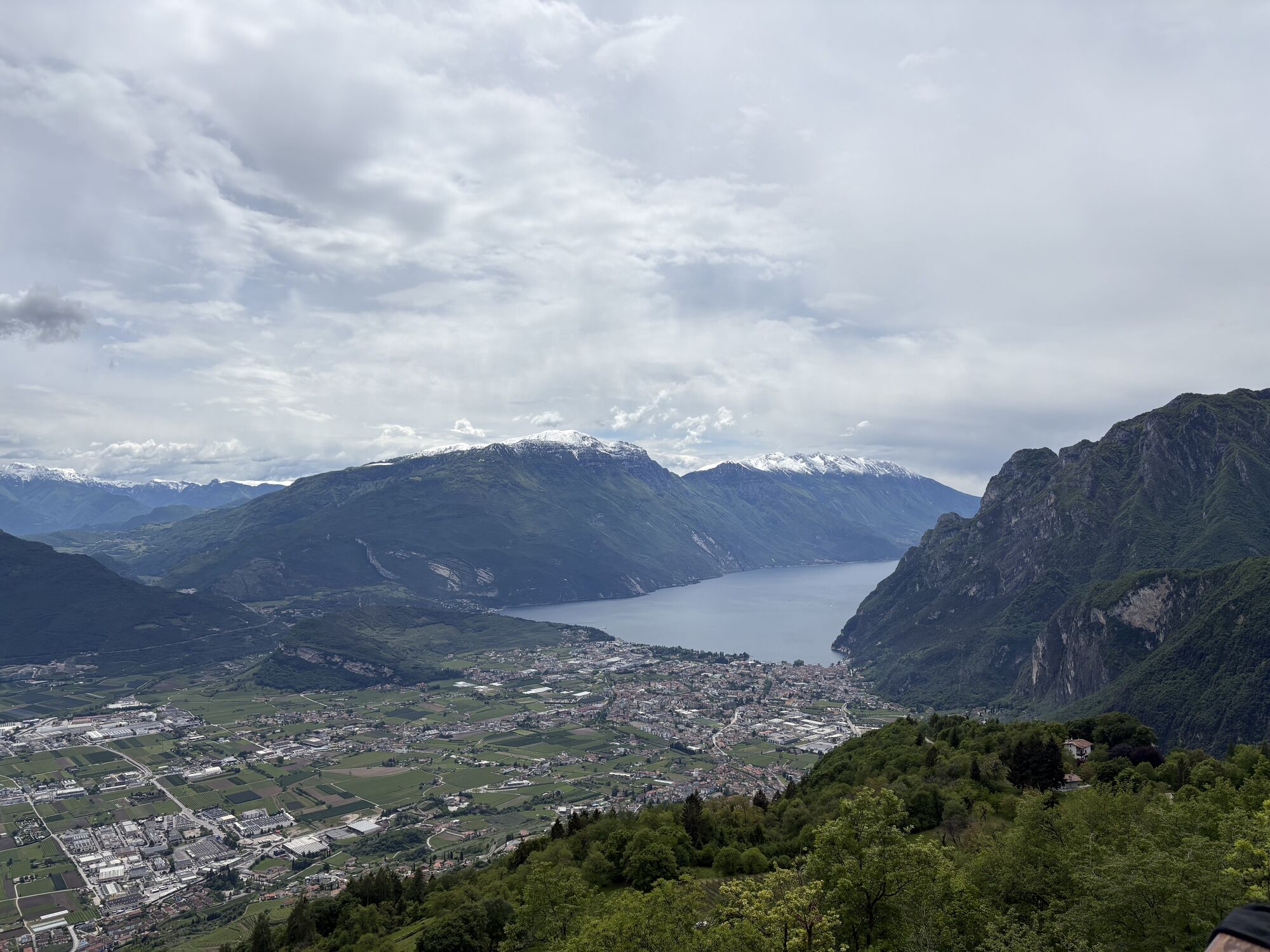
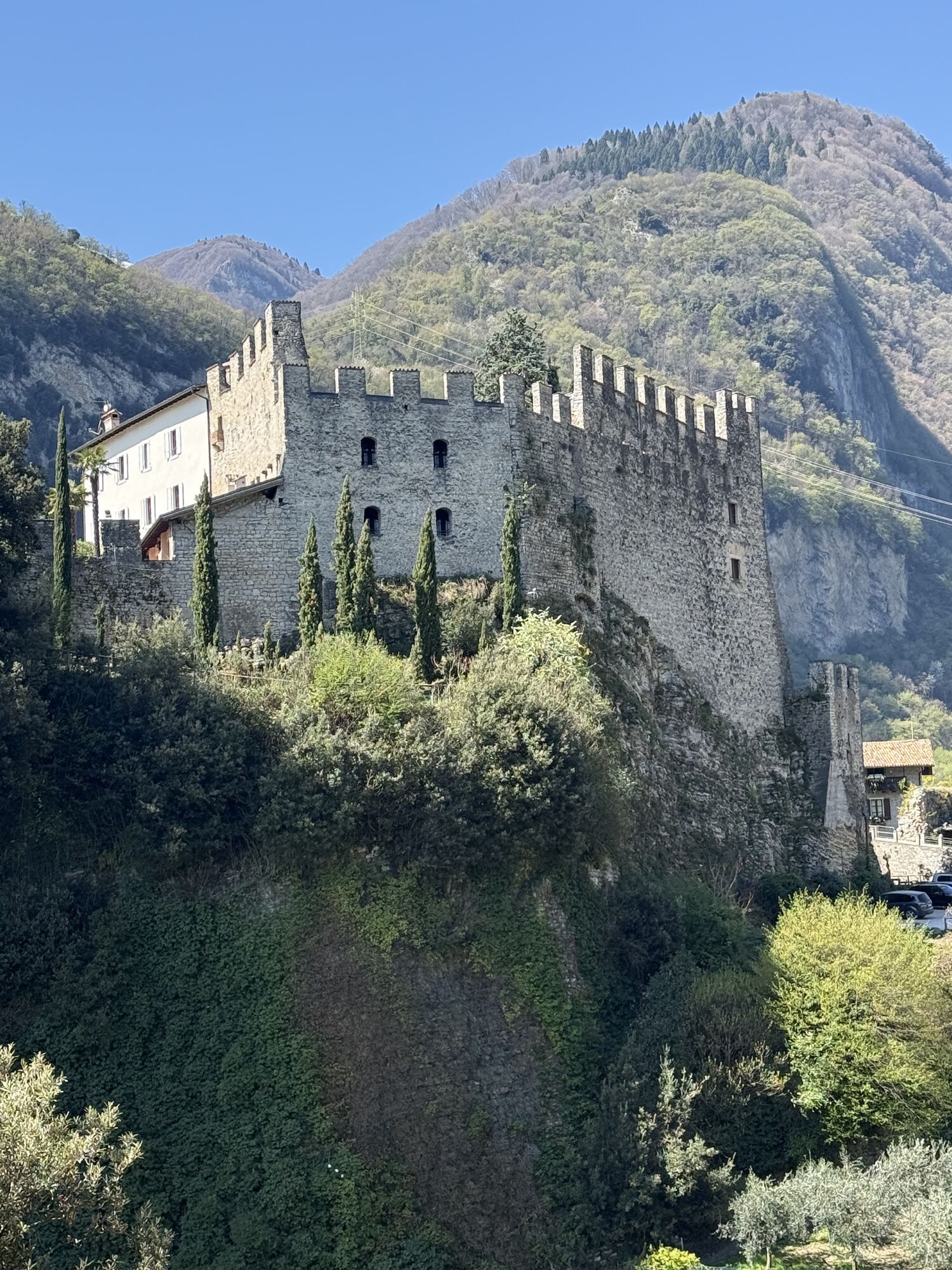
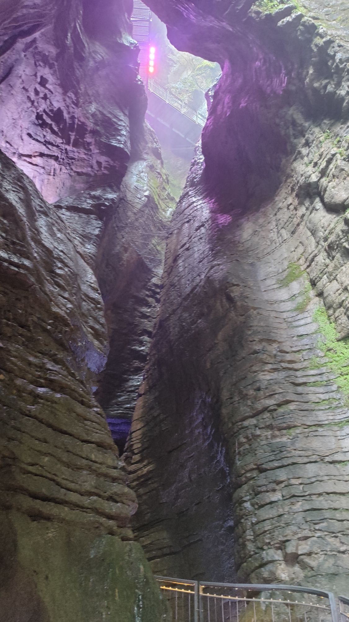
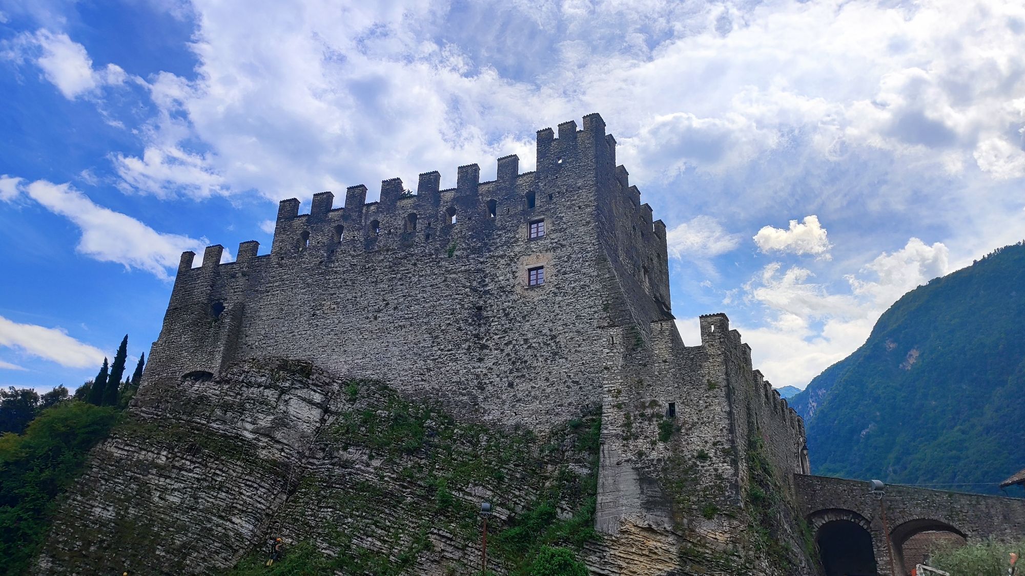
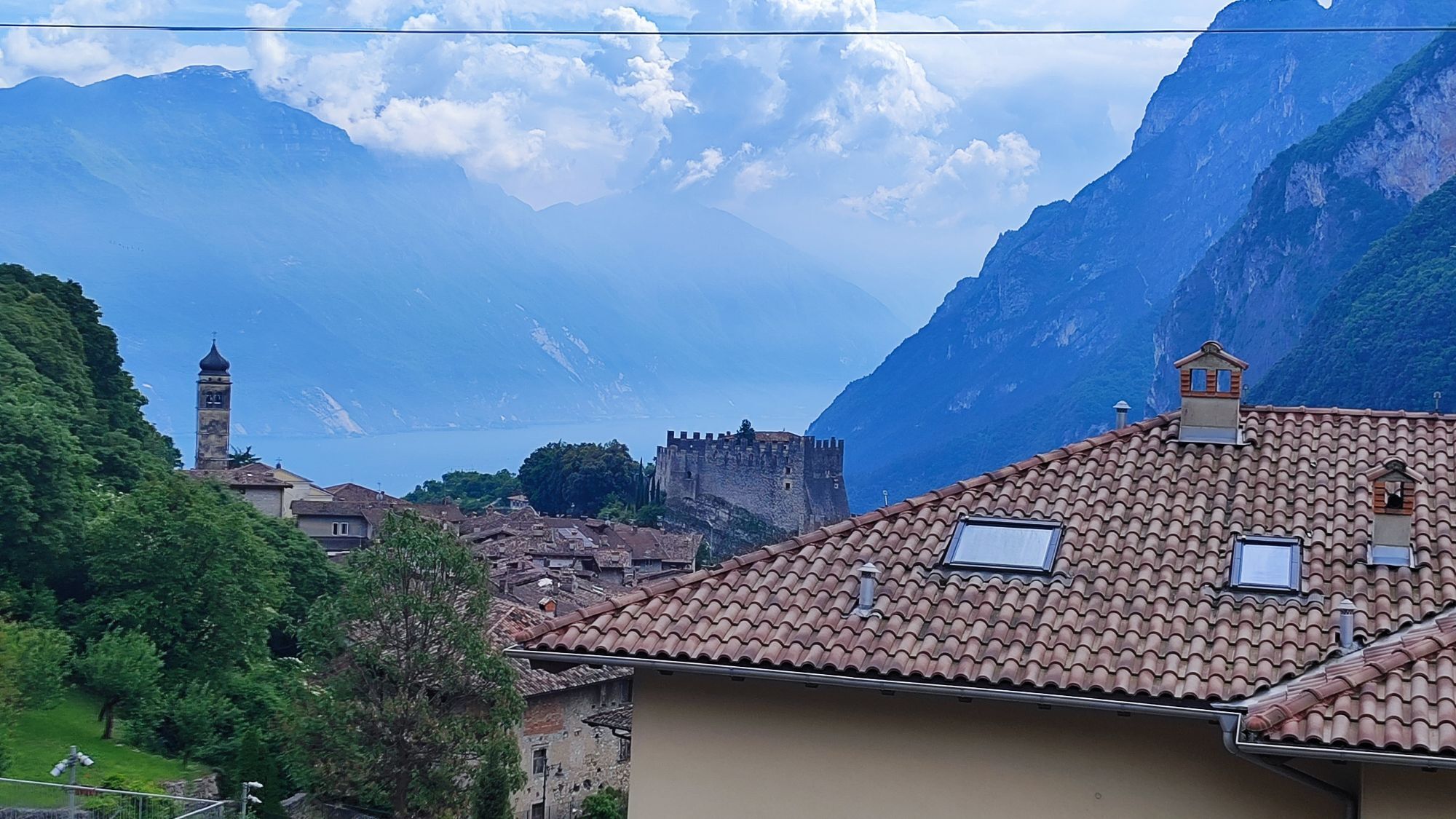
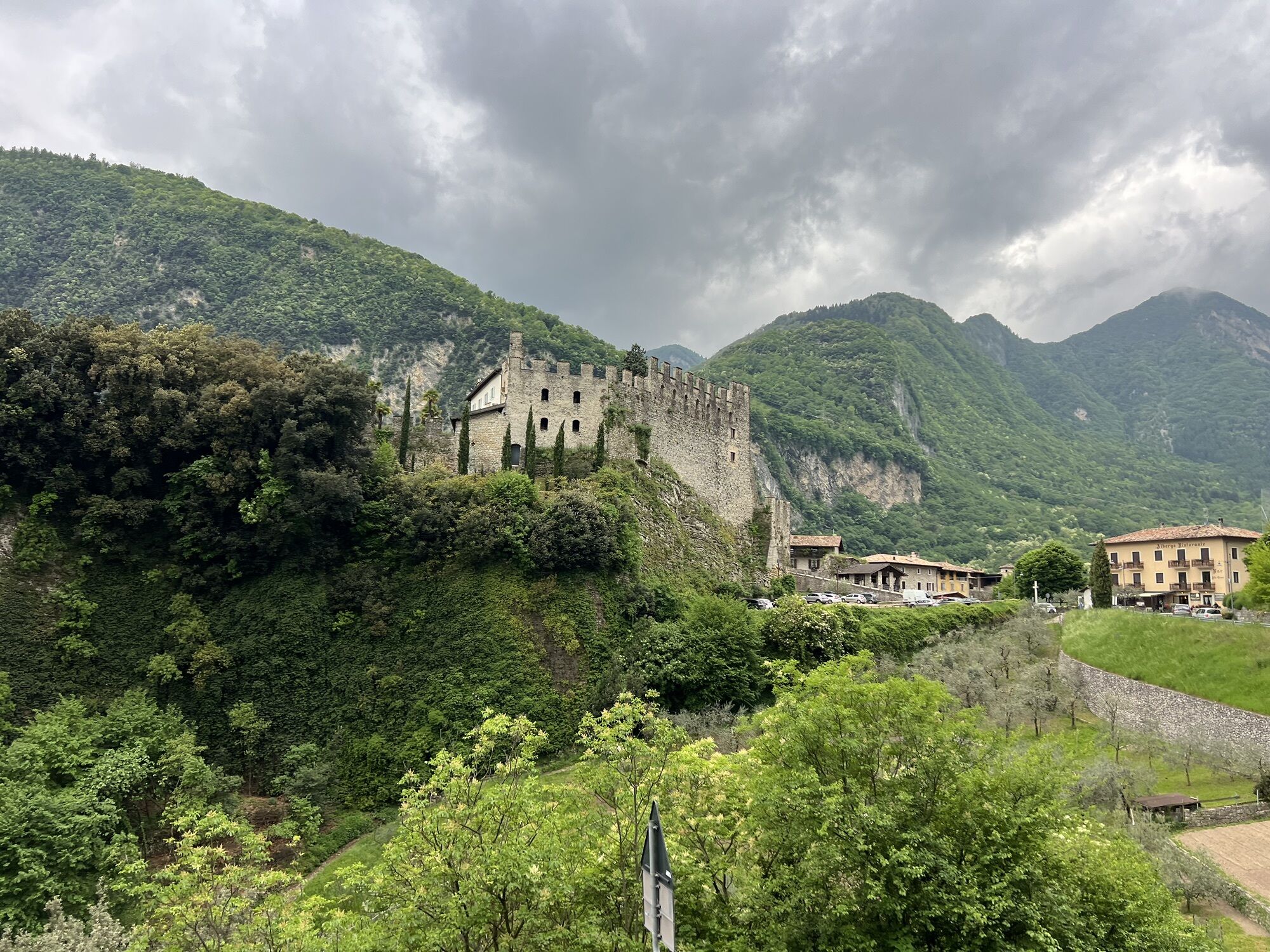
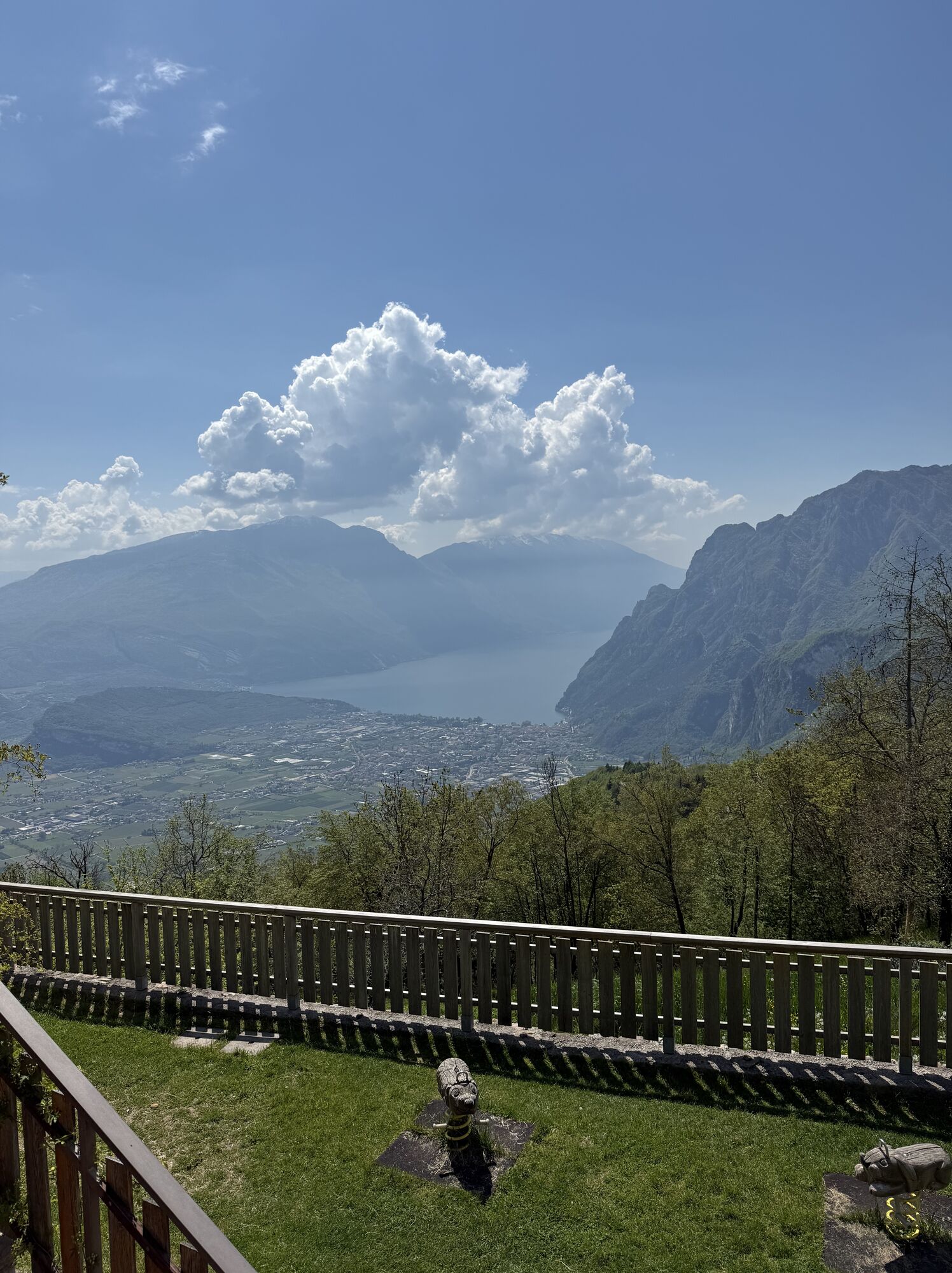
The first leg stretches from the Church of the Madonna delle Grazie to Rifugio San Pietro, which terrace offers one of the most beautiful views over Lake Garda. The first flat stretch unfolds through the...
The first leg stretches from the Church of the Madonna delle Grazie to Rifugio San Pietro, which terrace offers one of the most beautiful views over Lake Garda. The first flat stretch unfolds through the village of Varone, starting point of the ascent towards Tenno, with views of its 12th century castle towering above. The last section of the route leads up to Calvola at the foot of Monte Calino and stops at Rifugio San Pietro and the nearby little church.
The Sentiero Frassati is dedicated to the mountain loving Blessed Piergiorgio Frassati. A little curiosity: each Italian region has its own Frassati Path.

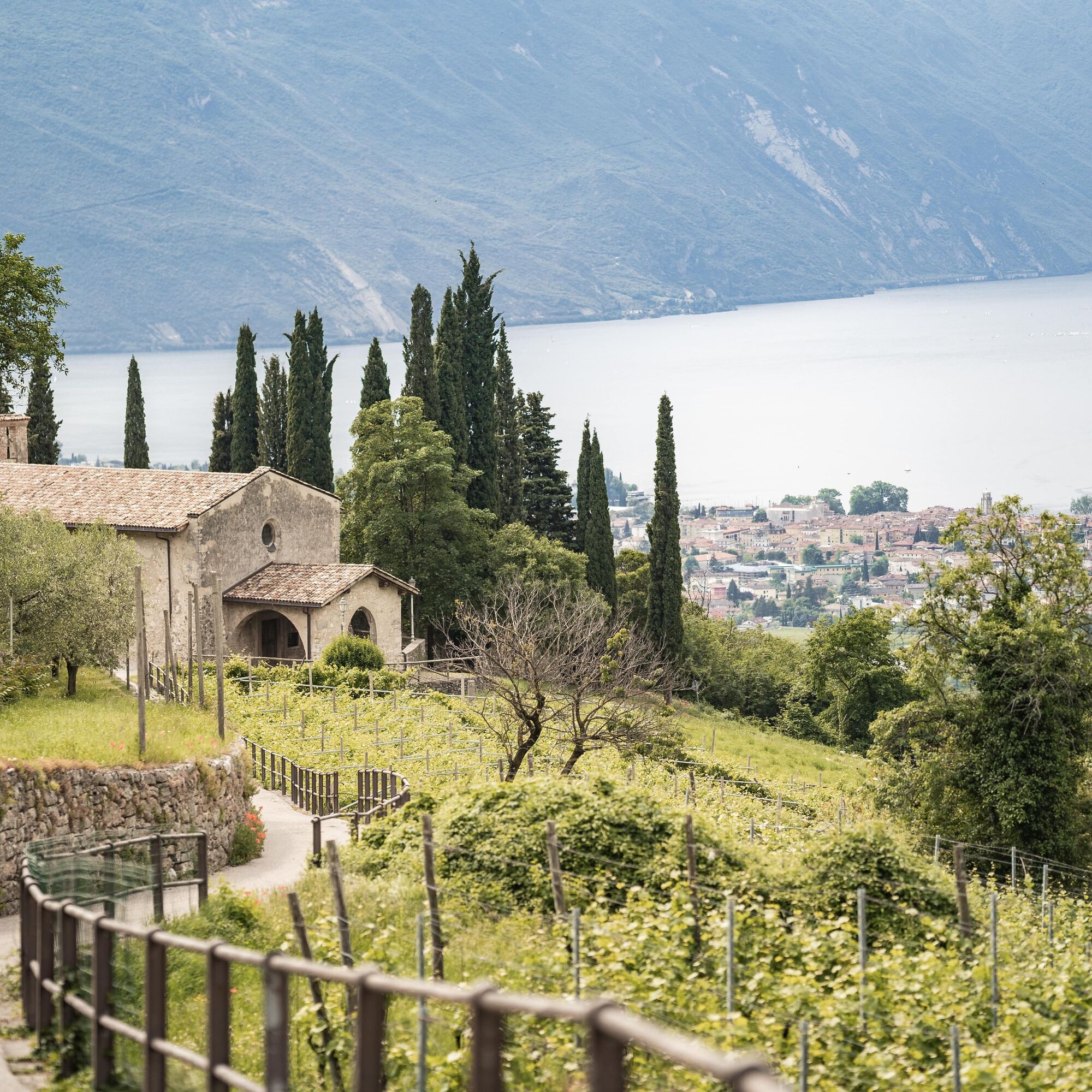
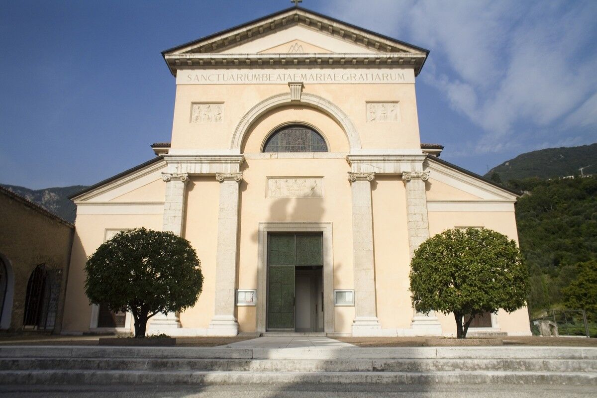
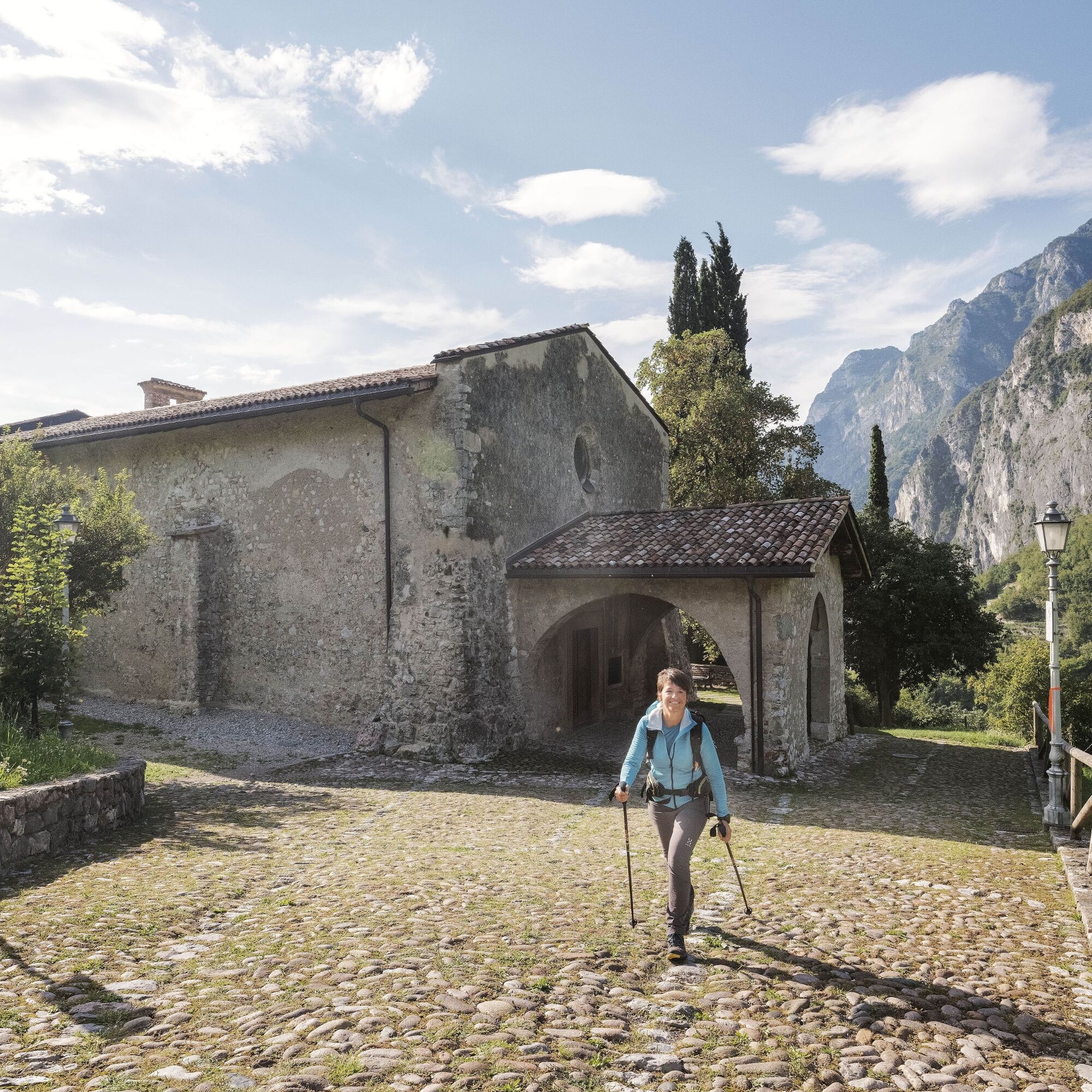
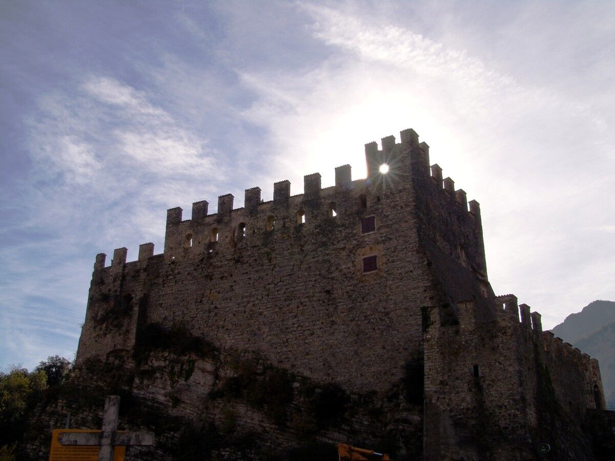
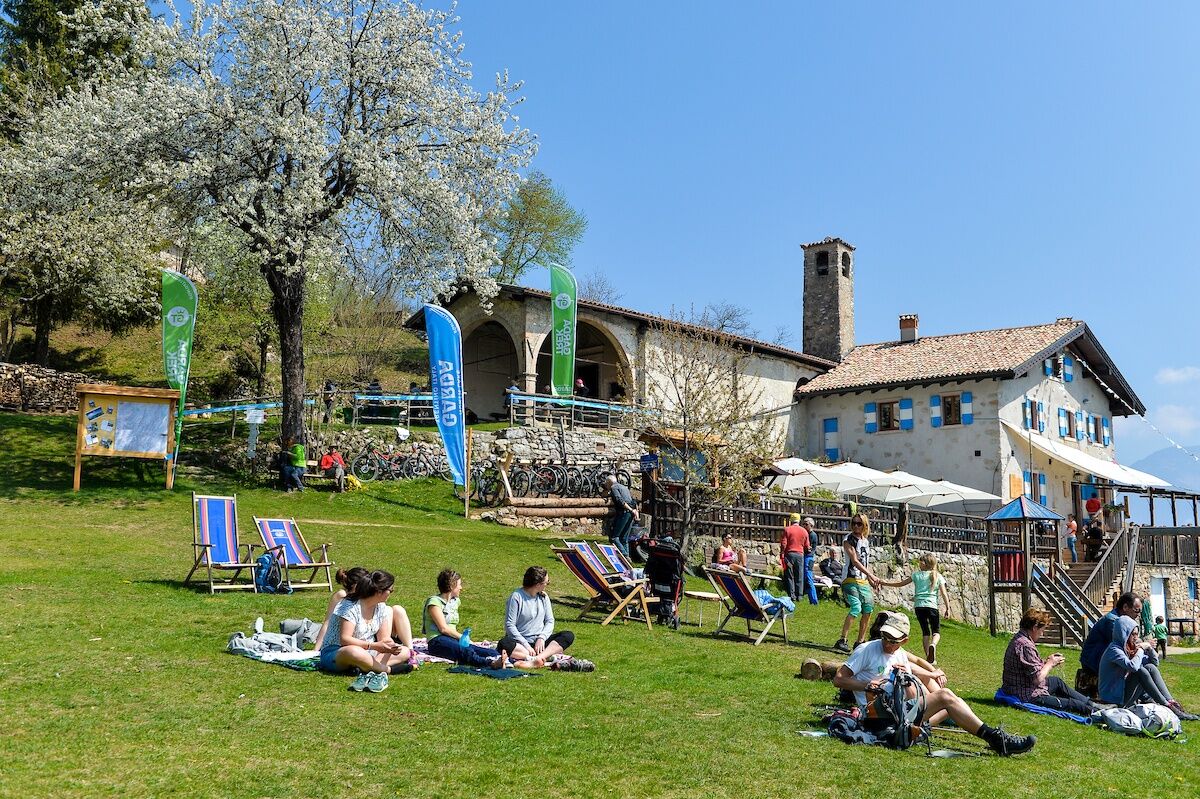
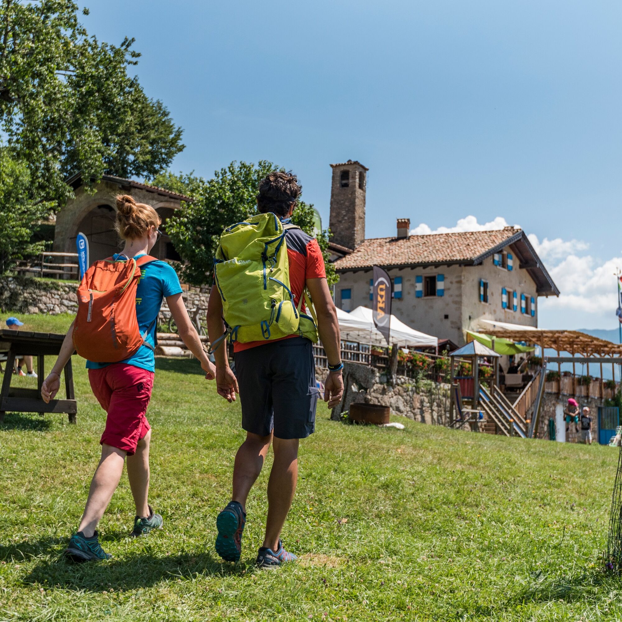
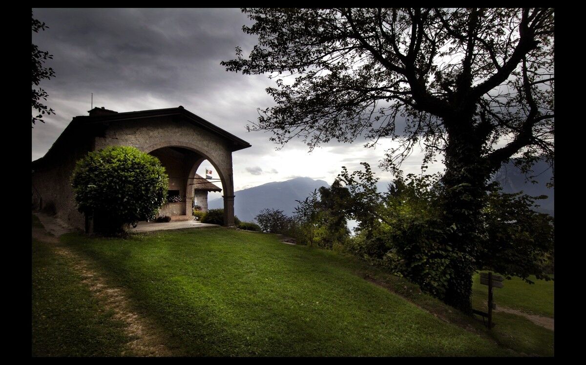
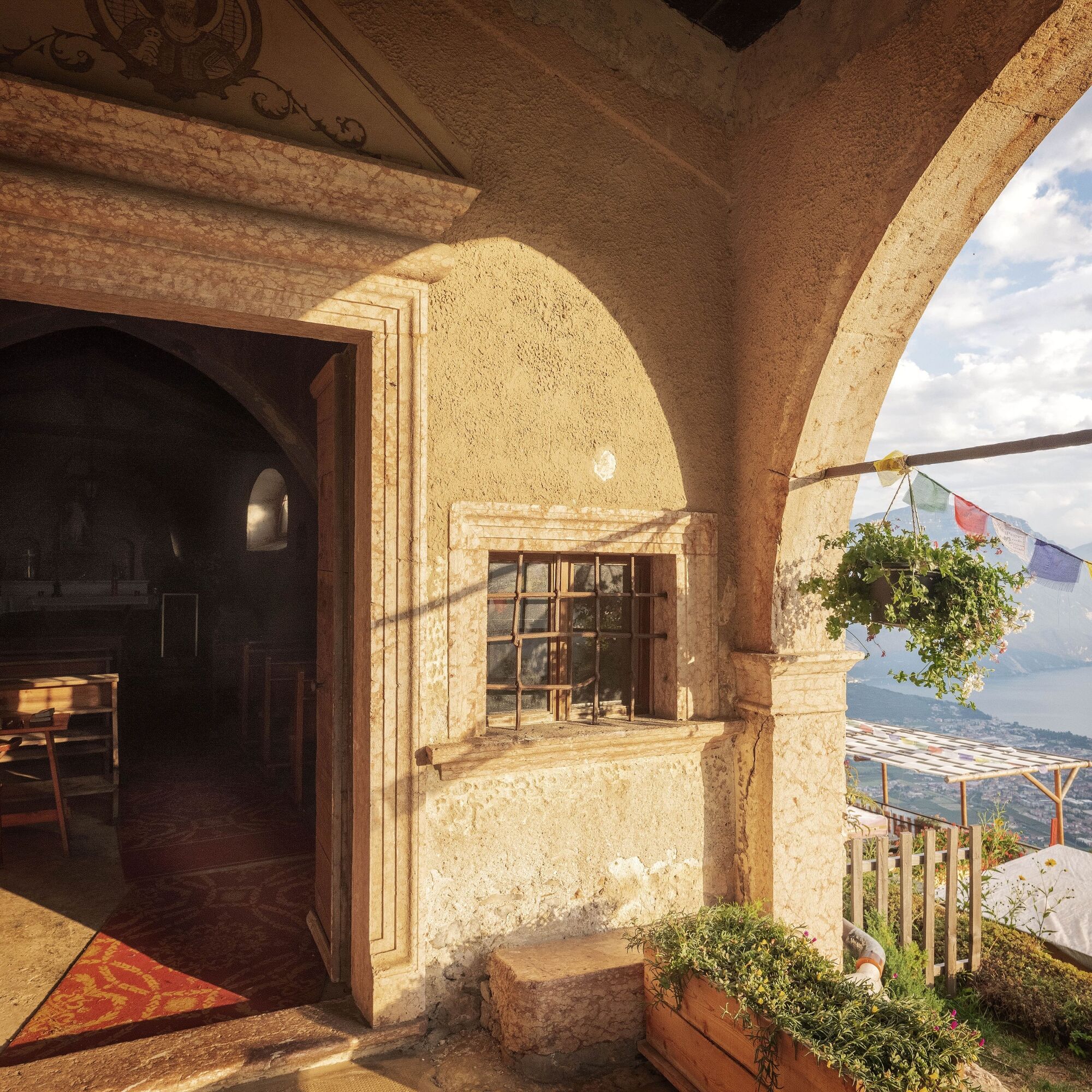

The Sentiero Frassati is marked in its entirety with SAT 401 signposts. The starting point is the church of the Madonna delle Grazie. Take Via Dante Alighieri and continue along the paved road, at first towards Ceole and then along Via Venezia to Varone. In the locality Le Foci, on the opposite side of the main road, there’s a short stone stairway which is the start of the Sentiero di Gola leading to Tenno. Behind the townhall turn into Via di Revedù and then take the path to Calvola near the road bend. Cross the village and return to the SAT 401 path, which later rejoins the paved road. At the fork keep right and then turn left onto the dirt road towards Rifugio San Pietro.
You need to wear the right clothing and take the proper gear when you go hiking in the mountains. Even on relatively short easy outings make sure to take all you need so you don't run into trouble if things take an unexpected turn, for example a storm blows up or you have a sudden drop in energy levels.
What should you take when you go on a hike?
Your rucksack (for a day trip a 25/30L capacity should do) should contain:
water canteen (1L) snacks (e.g. mixed dried fruit or chocolate) First aid kit windproof jacket fleece change of t-shirt and socks (in a plastic bag) make sure to wear or at least bring a pair of long trousers hat sun screen sunglasses gloves whistle to attract attention in an emergencyMake sure you're wearing the right footwear for the trail and season. The going can get rough and rocky underfoot and a pair of hiking boots will protect you from sprains. When wet, a grassy slope, rocky slab or steep trail can be dangerous unless you are wearing the proper footwear.
And finally... don't forget to bring your camera! You'll need it to capture the stunning views you come across all over Garda Trentino. And if you like, you can share your memories with us at #GardaTrentino.
Emergency telephone number 112.
Safety Tips
Choose itineraries that suit your physical and technical abilities. Collect information about the area you are visiting and the trail’s conditions and get a detailed trekking map. Wear clothes and take equipment that suit the difficulty and length of your tour. Keep emergency gear in your rucksack, including first aid supplies. Do not go walking alone in the mountains. In any case, tell someone where you are going and report back on returning. Look at the weather forecast before setting off and always keep an eye on the weather. In case of doubt, go back. It is better to give up than risk bad weather or face difficulties beyond your strength, ability and equipment. Do not leave marked paths and do not take shortcuts. All described walks are in a natural environment and therefore their use is at your own risk.This information is subject to inevitable variations, so none of these indications are absolute. It is not entirely possible to avoid giving inexact or imprecise information, given how quickly environmental and weather conditions can change. For this reason, we decline any responsibility for changes which the user may encounter. In any case, it is advisable to check environment and weather conditions before setting out.
From Arco follow the SS45bis towards Riva and at the second roundabout follow Via Sant'Andrea. At the next roundabout, take the second exit and follow the signs for Santuario Madonna delle Grazie.
Find out how to reach Garda Trentino.
The main towns in Garda Trentino - Riva del Garda, Arco, Torbole sul Garda, Nago – are connected by several urban and intercity bus lines which will take you to the starting point of tours or in the immediate surroundings.
You can also get to Riva del Garda and Torbole sul Garda by the public ferry service.
Free parking next to the church of Madonna delle Grazie.
A short detour leads to Frapporta, the picturesque village at the foot of Tenno Castle, and to the Chiesa di San Lorenzo, which holds frescoes which are among the oldest in Trentino.
 Uzyskaj wgląd Zawsze na żywo z ponad 9 500 kamer internetowych. bergfex Jako użytkownik Pro, możesz teraz zobaczyć odpowiednie kamery internetowe dla wielu wycieczek w aplikacji wycieczki od. Pozwala to na bezpośredni podgląd aktualnych warunków.
 Popularne wycieczki w okolicy
- 5,0
Bastione and Santa Barbara, the lords of Riva del Garda
średniWędrówka 2,94 km - 5,0
Via Ferrata Signora delle Acque - Rio Ruzza
ciężkiVia ferrata 5,32 km - 4,8
Bocca Fortini - Tour
ciężkiMountainbike 35,4 km - 4,8
Via Ferrata Fausto Susatti - Cima Capi (from Ledro)
średniVia ferrata 7,11 km - 4,7
Sentiero Busatte Tempesta
światłoWędrówka 7,90 km - 4,6
Via Ferrata delle Laste e Gallerie di Cima Rocca
światłoVia ferrata 6,38 km - 4,9
Via Ferrata dell’Amicizia - Cima SAT
średniVia ferrata 4,41 km - 4,5
Walking around Lake Ledro
światłoWędrówka 9,40 km - 4,3
Tremalzo Big - Tour
ciężkiMountainbike 45,6 km - 4,6
Colodri Klettersteig (A/B)
Via ferrata 7,50 km
Wędrówki i tropienie


Nie przegap ofert i inspiracji na następne wakacje
Twój adres e-mail została dodana do listy mailingowej.





