







Winter-Rehbach tour
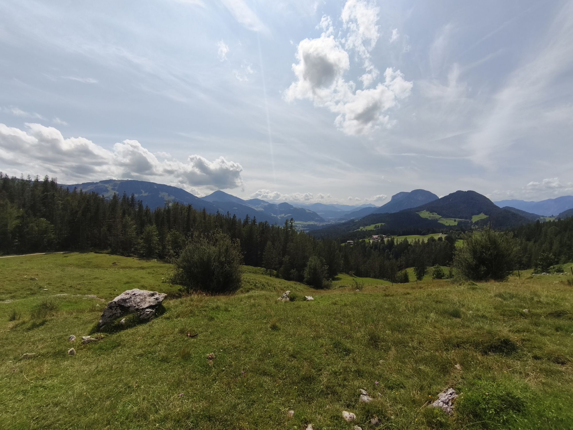
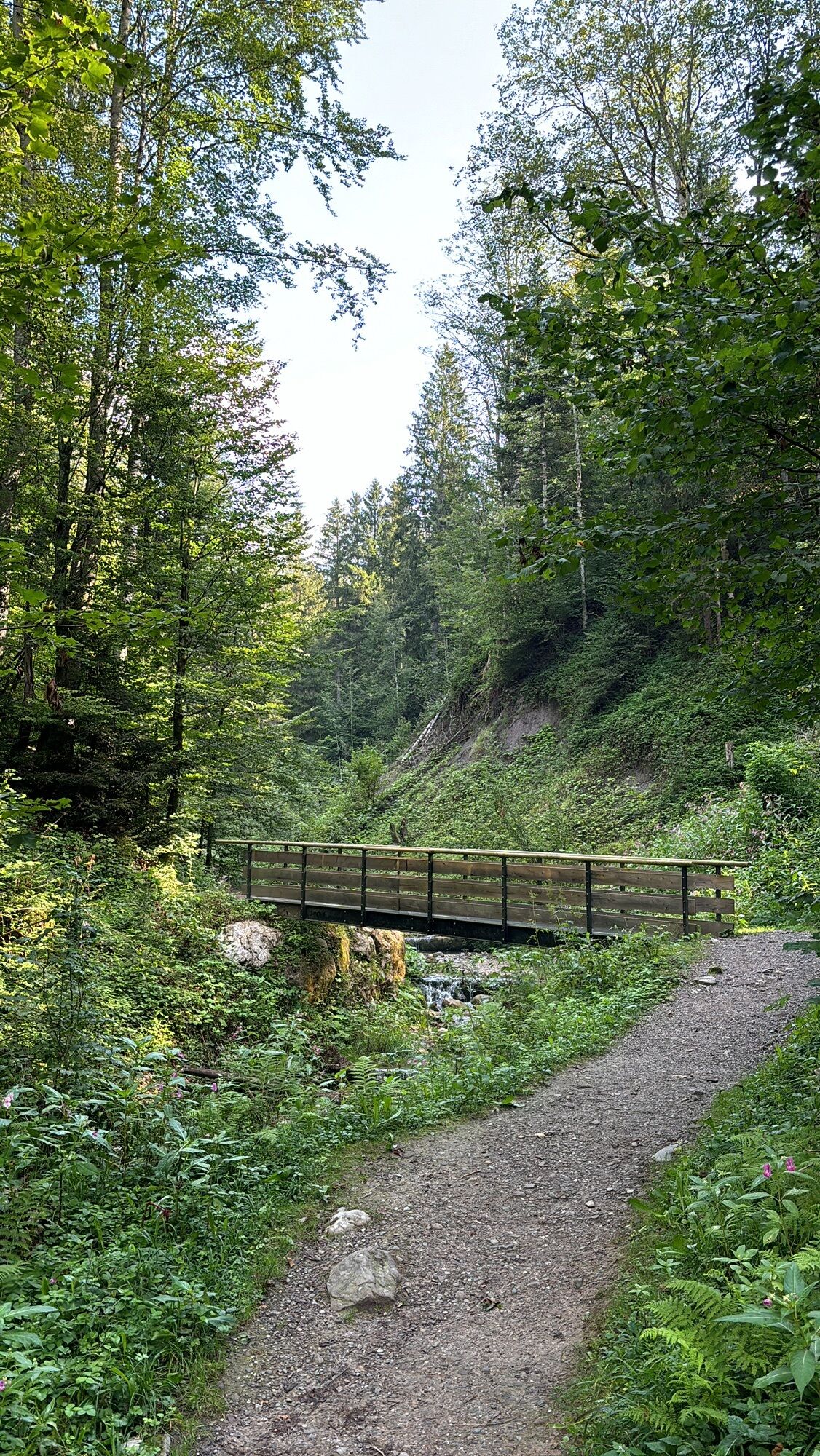
This winter hike starts at the Scheffau Tourist Info. Follow the road in the direction of Hintersteiner See and Rehbachklamm. Please note: The Rehbachklamm gorge is closed in winter, so follow the road...
This winter hike starts at the Scheffau Tourist Info. Follow the road in the direction of Hintersteiner See and Rehbachklamm. Please note: The Rehbachklamm gorge is closed in winter, so follow the road further up and about 300 metres after that turn right onto the hiking trail, where you hike parallel to the Rehbachklamm gorge to the Gaisberg car park and the Schießling-Leiten junction. Here you continue in the direction of Leiten - Scheffau. Let the absolute tranquillity of the forest and the wonderful winter air take effect and enjoy the untracked forest paths. Return to the village of Scheffau through the Leiten district.
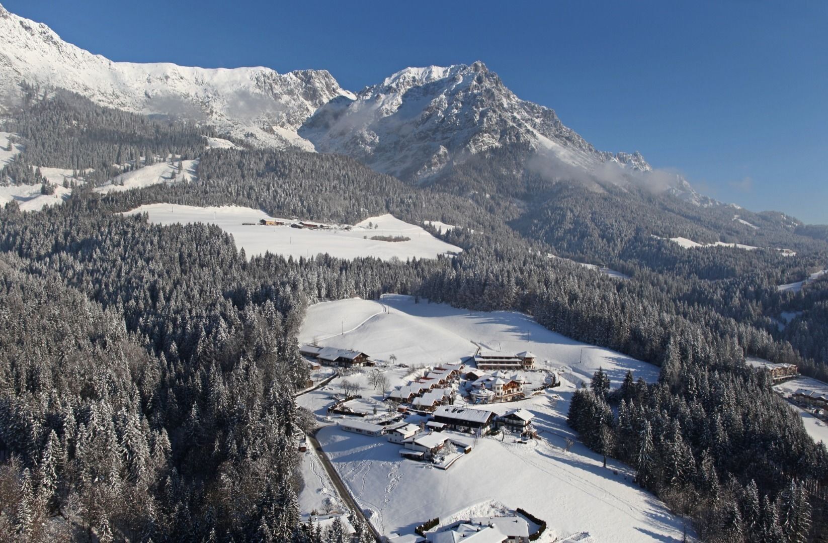
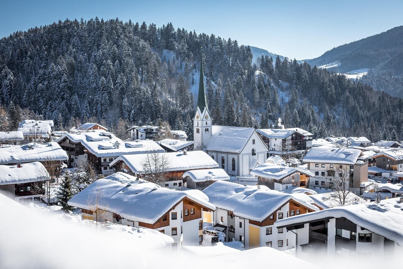

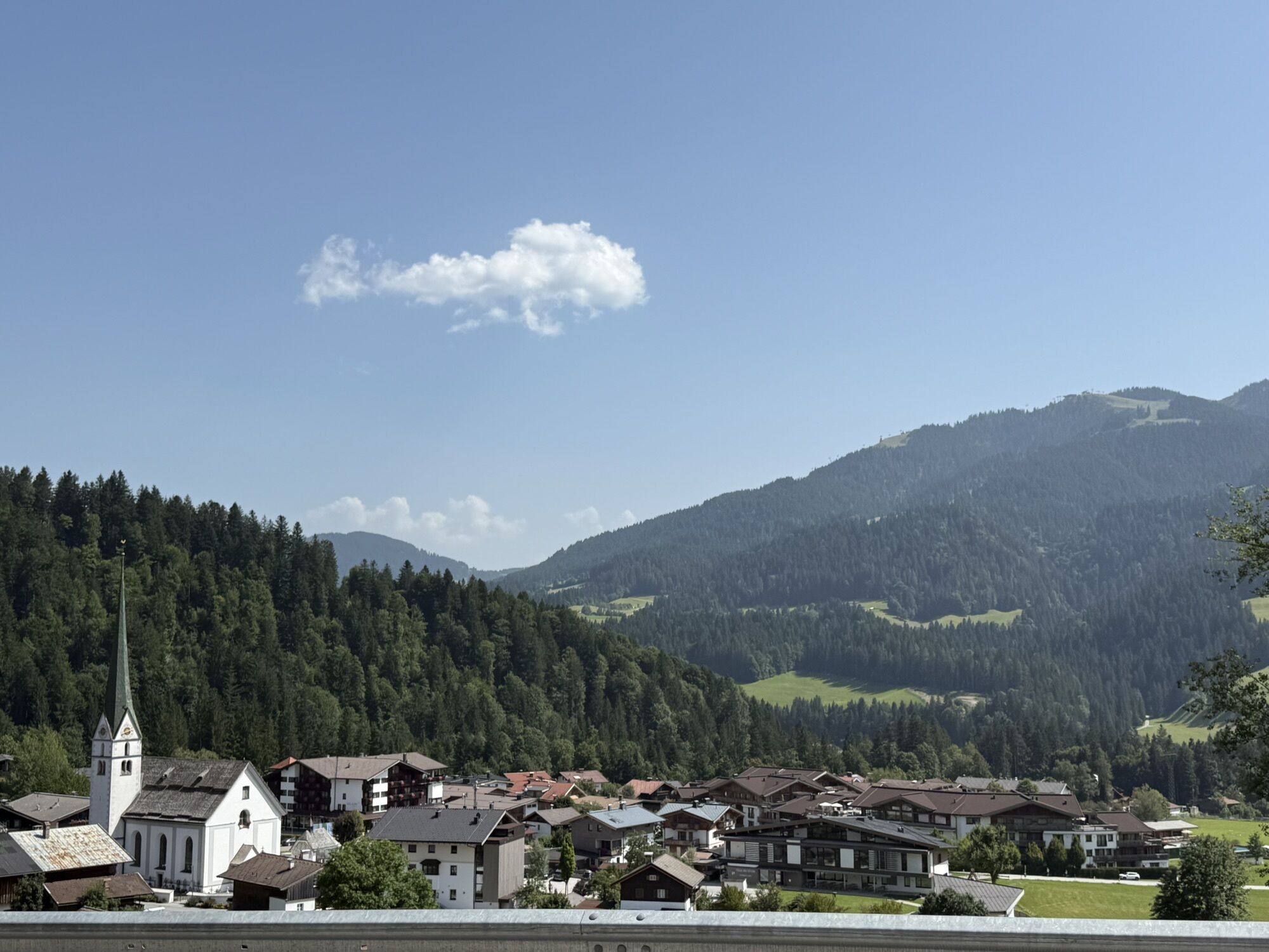
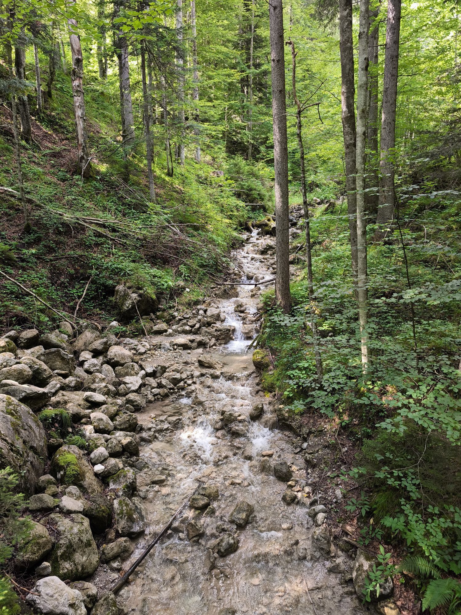
This winter hike begins at the Scheffau Tourist Information Office. Follow the road in the direction of Hintersteiner See lake and don’t forget to take a look down into the gorge from the bridge – you won’t be disappointed! Then turn right after around 300 metres on to the natural hiking route. From here, walk along the romantic Rehbachklamm gorge to the Schiessling-Leiten intersection. Continue towards Leiten and let your cares slip away as you take in the complete tranquillity of the forest and the crisp winter air. Enjoy the unspoilt forest trails and the spectacular view up to the Kaisergebirge mountain range. Walk through the district of Leiten before the circular route takes you back to the village centre. As this section of the route takes you past the Gasthof Weberbauer inn, you can finish your walk with a refreshment stop.
Wilder Kaiser hiking map (1:25.000) available in the tourist information centres Ellmau, Going, Scheffau and Söll
Sturdy high mountaineering boots with anti-slip treaded soles (waterproof), weather-appropriate outdoor gear, sun protection, waterproofs, cold protection (hat, gloves), sufficient food and hot drinks, hiking poles (height adjustable) if required, mobile phone, plastic bag for waste, hiking map, route description and information materials (GPX track), ID card, cash
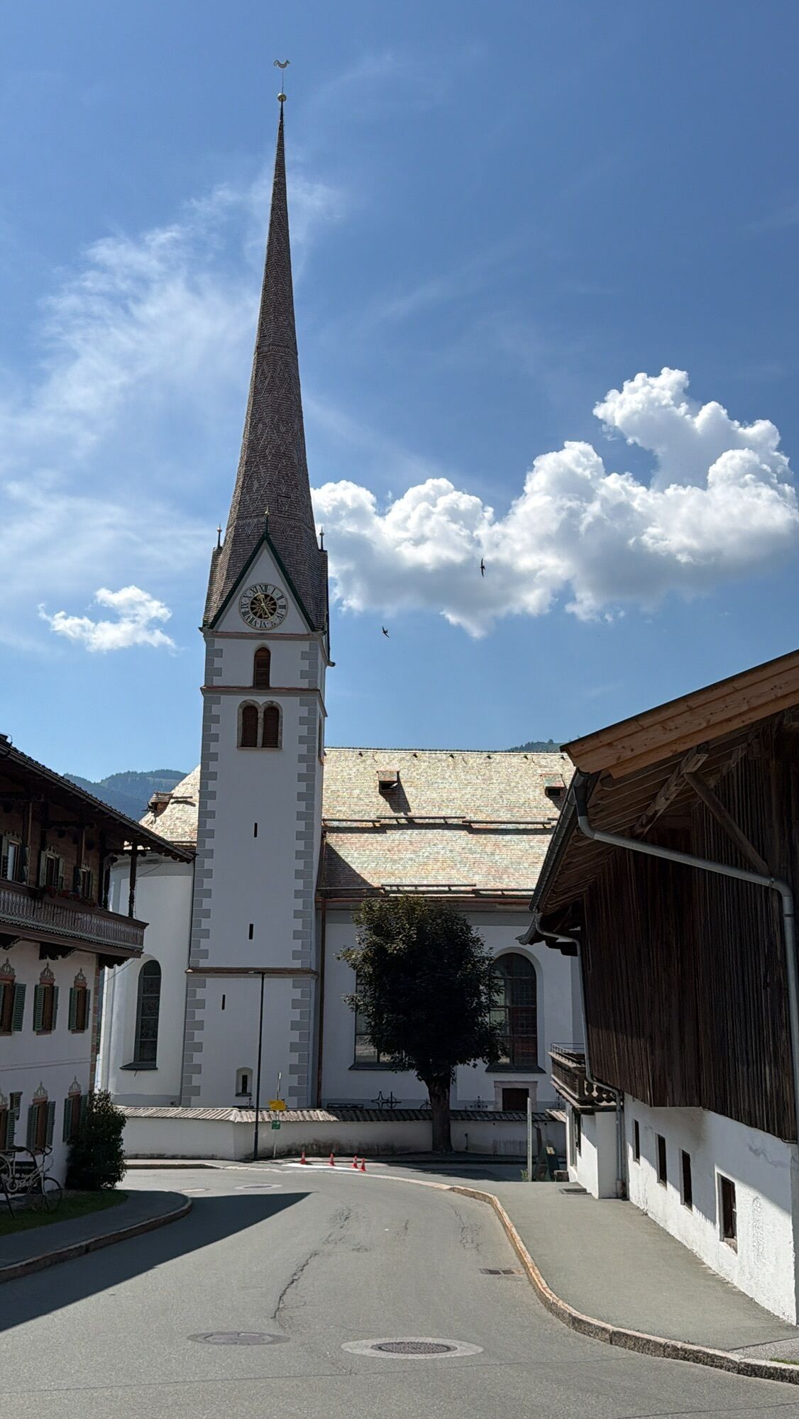
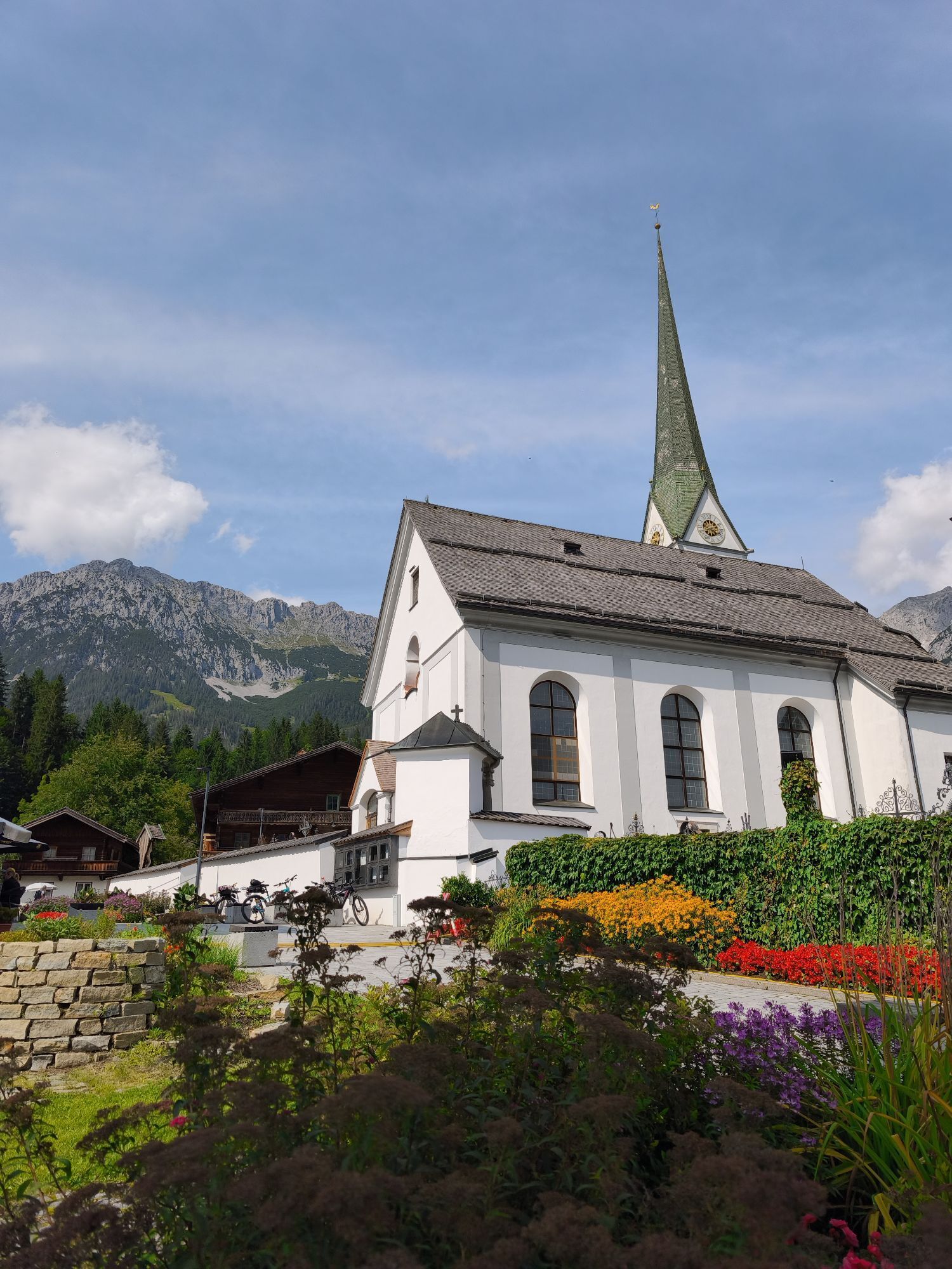
Heading from Wörgl, Kufstein or St. Johann on the B178 road, take the exit to Scheffau. Shortly before you come to the church, you will see the Tourist Info and the hiking starting point on the left-hand side (short-stay parking zone).
Public car park, Scheffau (740 m), north of the Community Hall - free
Uzyskaj wgląd
Zawsze na żywo z ponad 9 500 kamer internetowych. bergfex Jako użytkownik Pro, możesz teraz zobaczyć odpowiednie kamery internetowe dla wielu wycieczek w aplikacji wycieczki od. Pozwala to na bezpośredni podgląd aktualnych warunków.
Popularne wycieczki w okolicy
-
4,7
Kirchdorf: Zur geheimnisvollen Teufelsgasse
średniWędrówka 7,90 km -
4,8
Gruttenhütte über Klammlweg
średniWędrówka 5,61 km -
4,9
Route 209: Brechhornhaus-Choralpe
ciężkiMountainbike 24,4 km -
4,8
Ellmauer Tor (22.07.2020)
średniWędrówka 9,32 km -
4,8
Streif Wanderweg
średniWędrówka 5,73 km -
4,9
Schleierwasserfall Runde
średniWędrówka 5,63 km -
5,0
Stripsenjoch Klettersteige/ Rundwanderung von Griesener Alm über Stripsenjochhaus und Feldberg
średniVia ferrata 10,2 km -
4,7
Musikantensteig zur Naunspitze
średniWędrówka 8,96 km -
4,6
Hintersteinersee
średniWędrówka 9,87 km -
4,6
St. Johann in Tirol: Wasserfall & 3 Seen am Kitzbüheler Horn
średniWędrówka 12,7 km
Wędrówki i tropienie


Nie przegap ofert i inspiracji na następne wakacje
Twój adres e-mail została dodana do listy mailingowej.





