







Schattwald - Zöblen - Schattwald

Poziom trudności: 1
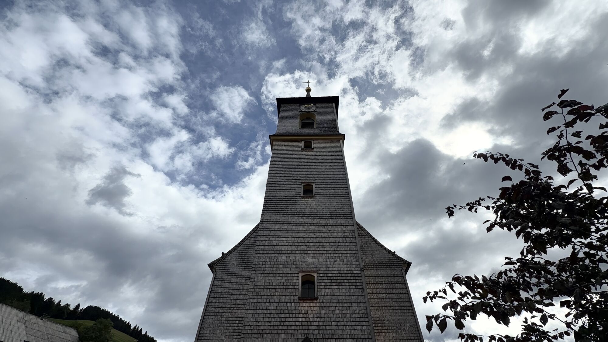
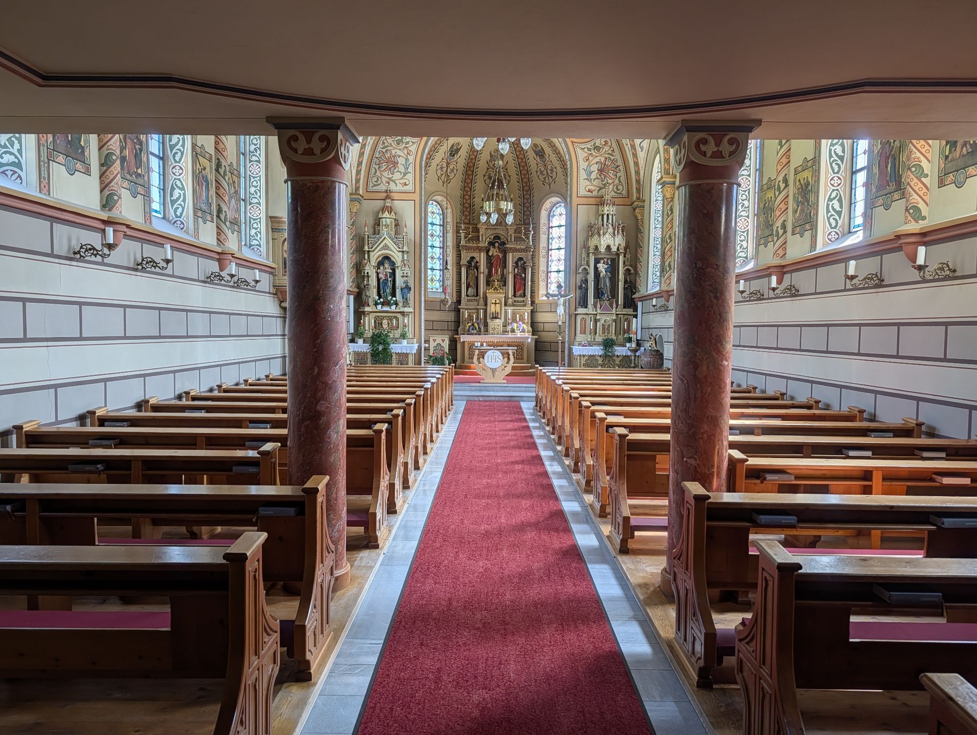
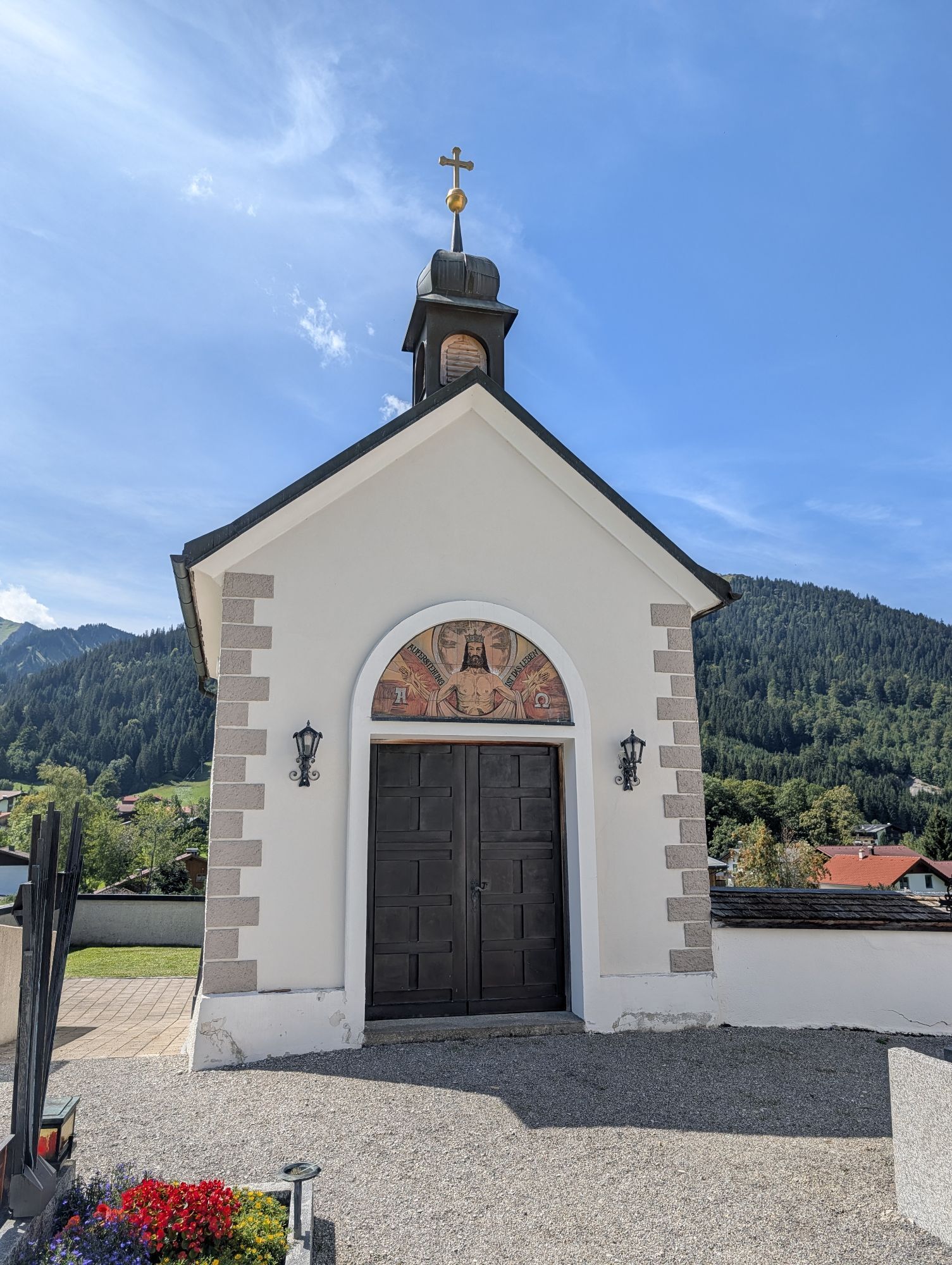
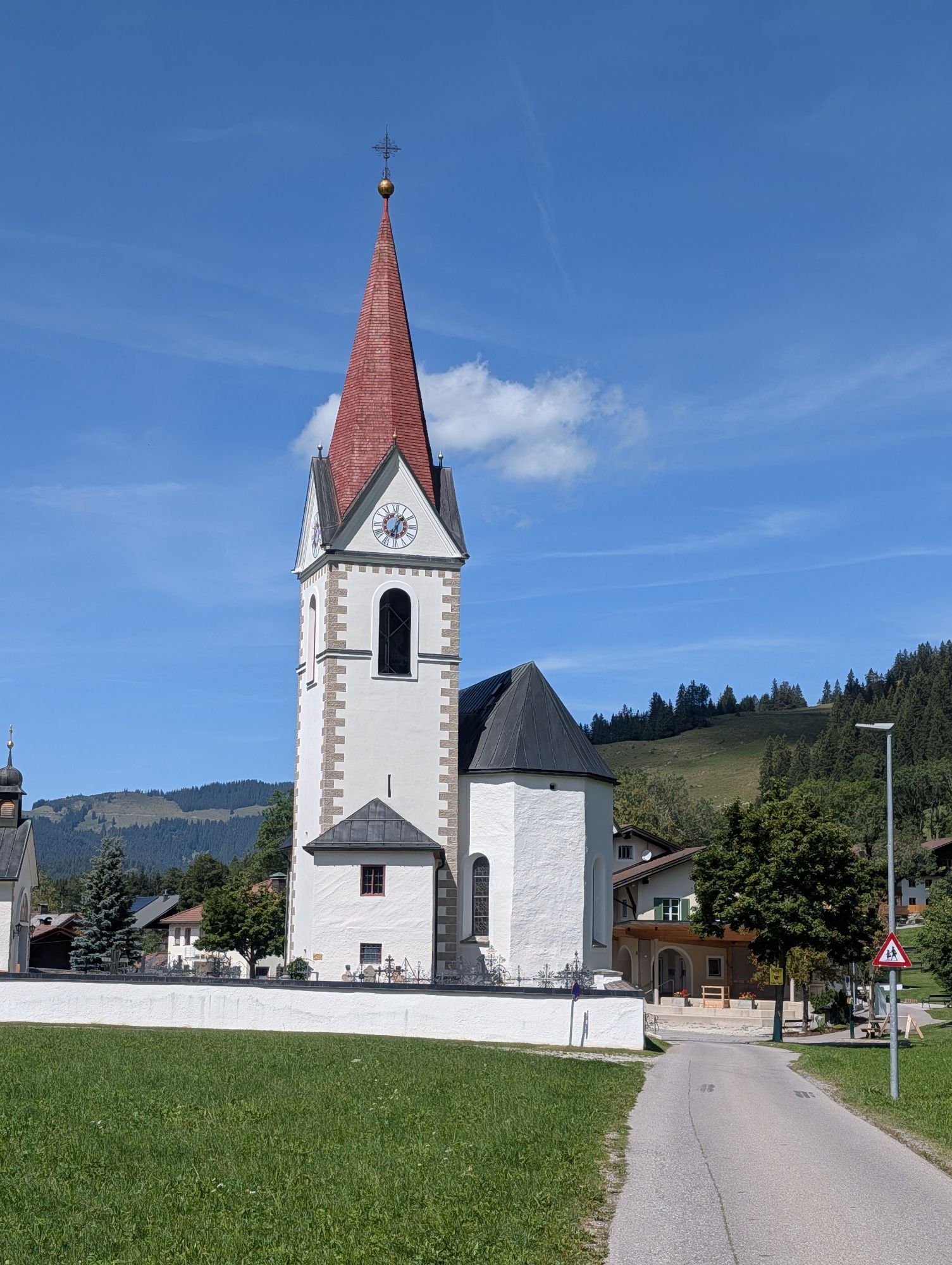
It doesn’t always have to be skiing, snowboarding, or cross-country skiing. On nearly 81 kilometers of cleared paths, hikers wander through the snowy fairy-tale landscape. Cozy huts invite you to stop...
Because along the approximately 81 kilometers of cleared hiking trails, there is so much to discover and see, so much fresh air to breathe that every step becomes a pleasure
- with inns and cafés along the routes offering extensive opportunities to refresh and warm up. Those who want to experience something very special can join a guided snowshoe hike. Those who want to go high have two possibilities in the Tannheimer Tal to climb a summit even in winter: the Neunerköpfle in Tannheim with the largest summit book in the Alps or the Gamskopf with the panorama informator in Grän.

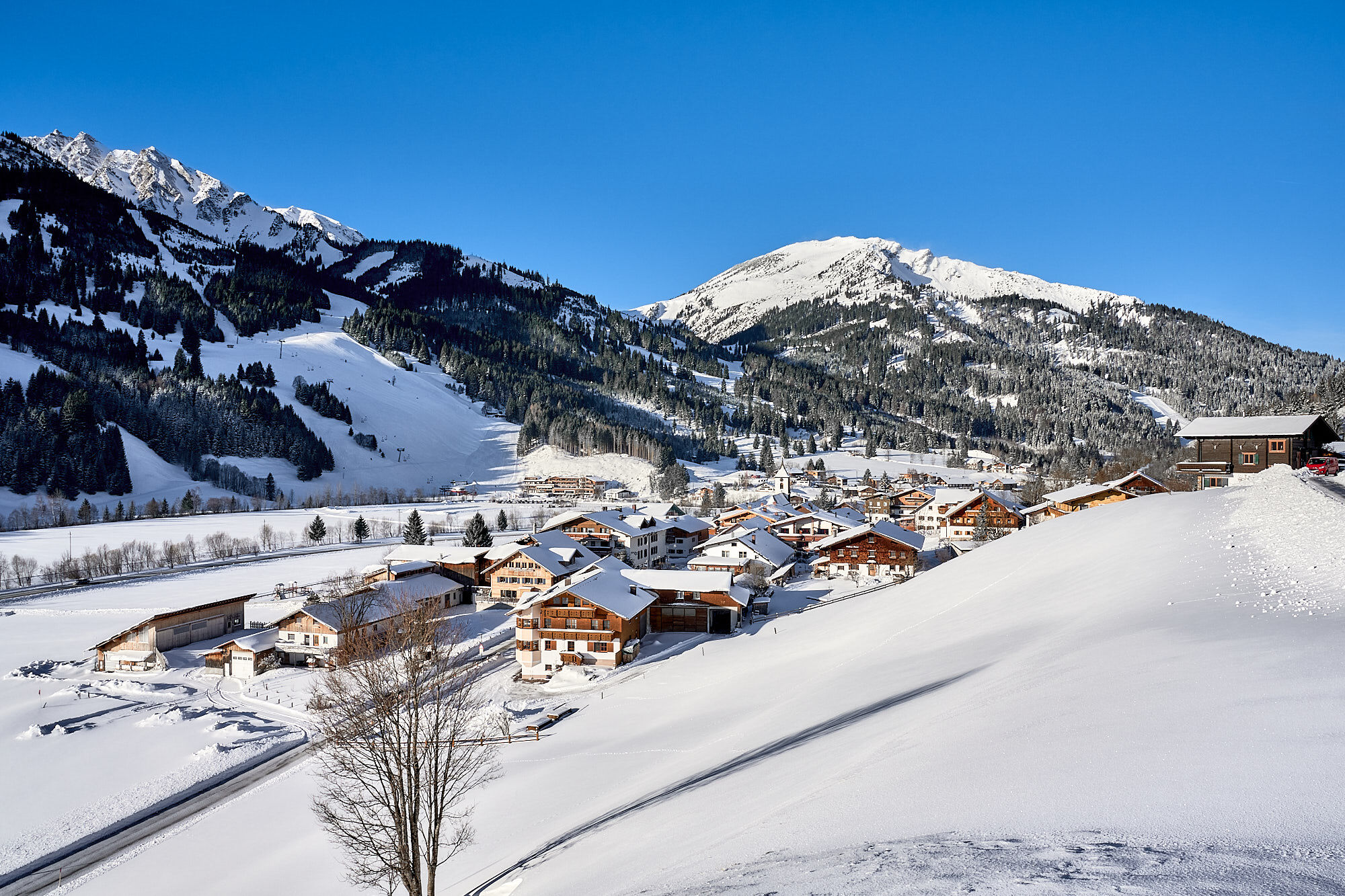

The winter hike begins at the Schattwald Dorfplatz bus stop. From there, the path initially leads towards the church. After reaching the church
it continues to the right into the snowy district of Fricken. The cleared winter hiking trail leads through the town and onwards to Zöblen to the local church. About 50 meters further east, the path turns right behind the Hotel Alpenrose, crosses the main road, and runs parallel to it until the town exit. From there, it returns to the path towards Fricken. Shortly after the Zöblen town sign, the path leads left along the wintry Vils back to Schattwald to the starting point.
Tak
Tak
Tak
Modern and well-maintained equipment (shoes, poles, and clothing) not only provides a significant amount of safety but also makes winter hiking much easier. Sun protection (high protection factor and possibly sunglasses) as well as sufficient fluids should not be forgotten.
It should be noted that there is an increased risk of accidents and injuries during winter hiking as well. In winter, particular attention must be paid to the condition of the paths. Suitable clothing, good footwear, and possibly hiking poles provide additional safety. Stay on the marked paths.
On the motorway A7 at the "Oy-Mittelberg" exit onto the B310 towards Wertach and then to Oberjoch. There follow the signs "Tannheimer Tal" B199 to Schattwald.
From the Tyrol side via Reutte on the B198 towards Lechtal to Weißenbach, over the Gaicht Pass along the B199 to Schattwald.
By train to Sonthofen, Pfronten/Ried, or Reutte, then by bus to Schattwald.
Paid municipal parking lot in Schattwald (HNr. 41 / 6677 Schattwald)
1
Dining options in Schattwald and Zöblen



Popularne wycieczki w okolicy
-
4,9
Hiking tour to Breitenberg
ciężkiWędrówka 15,6 km -
4,8
Do schroniska Bad Kissinger Hütte przez Gräner Höhenweg
średniWędrówka 13,0 km -
4,7
Mountain hike to the Aggenstein
ciężkiWędrówka 15,3 km -
4,7
Panorama route to the Ostlerhütte
średniWędrówka 5,11 km -
4,6
Around Weißensee
światłoWędrówka 6,12 km -
4,9
Gemeinde Grän, Tirol/Österreich Aggenstein Rundtour über Höhenweg
średniWędrówka 9,84 km -
4,8
Tannheim / Vilsalpsee / Landsberger Hütte
średniWędrówka 15,7 km -
3,9
Klassikertour: Auf den Grünten
ciężkiWędrówka 8,50 km -
4,8
Iseler und Kühgundkopf
średniWędrówka 7,63 km -
4,3
Trasa trzech jezior (wyróżniona tyrolskim znakiem jakości szlaków turystycznych)
średniWędrówka 14,8 km
Wędrówki i tropienie


Nie przegap ofert i inspiracji na następne wakacje
Twój adres e-mail została dodana do listy mailingowej.





