


Winter hiking trail to Rinnen/Brand/Mitteregg
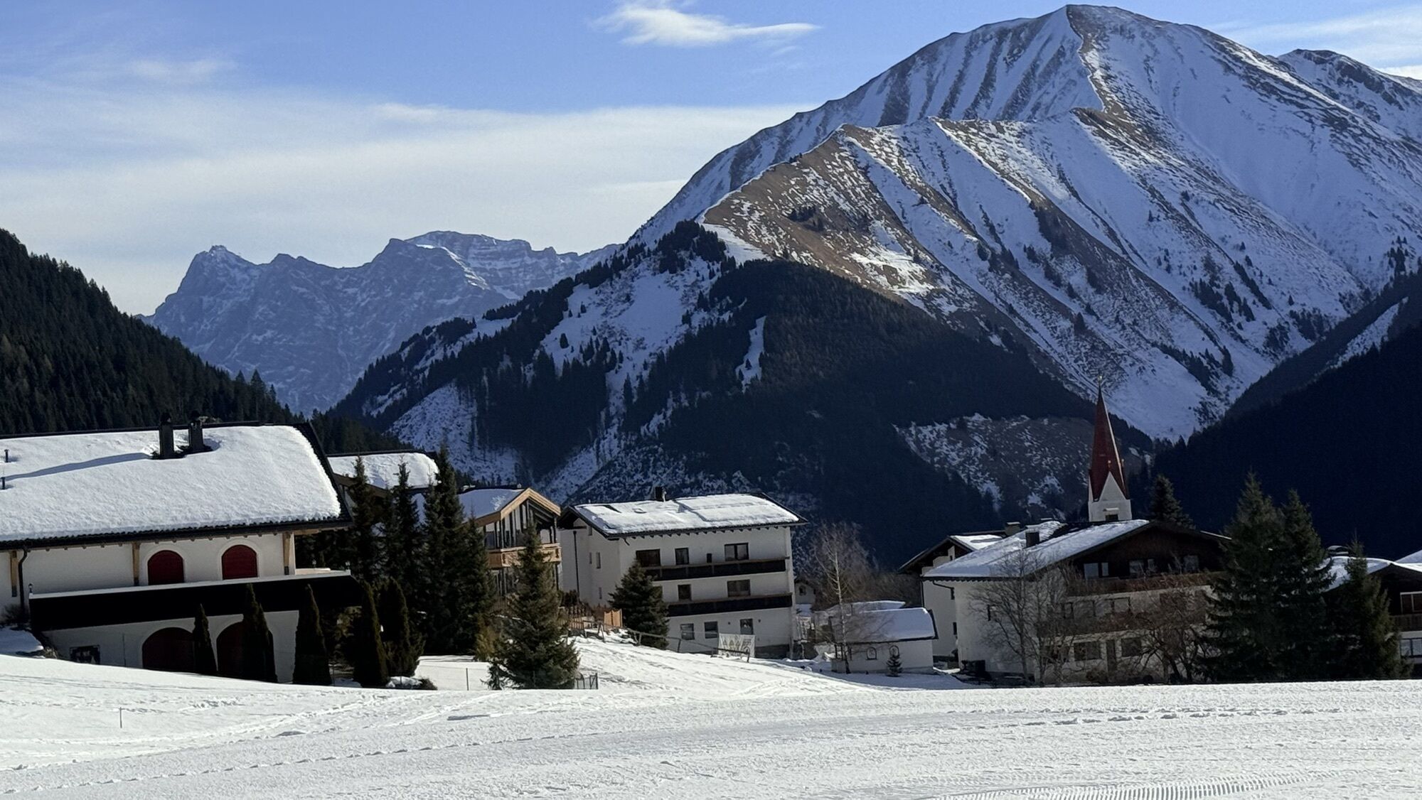
Beginning is at the small chapel at the end of the village opposite Haus Annemarie. Turn right and follow the path next to the road till the bridge, here turn right and then to the valley station of the...
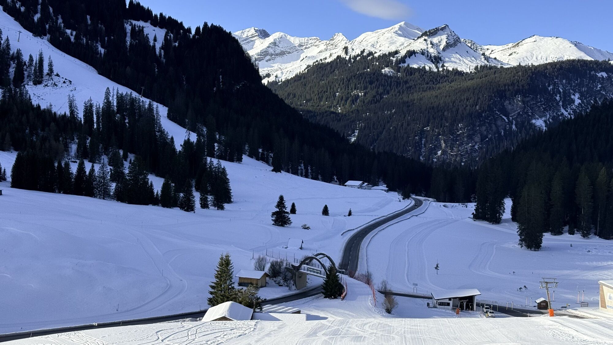
Beginning is at the small chapel at the end of the village opposite Haus Annemarie. Turn right and follow the path next to the road till the bridge, here turn right and then to the valley station of the Thanellerkarlift. On the left side is the start of the winter path to Rinnen. Pass the village Rinnen. At the end of Rinnen at the last houses turn right and follow the path until you reach the main road. Cross the road and follow the wide path to Mitteregg.
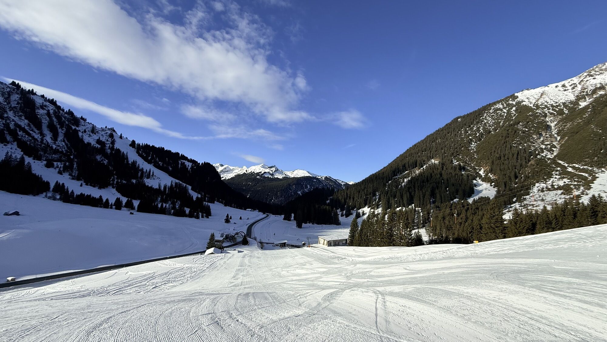
On the way back you can walk via the small village Brand (on the road - but there is not much traffic).
There is also a bus stop (Post- and ski busses) or you can walk back to Berwang.


in Rinnen:
Hotel Thaneller, Hotel Rotlechhof, Wirtshaus Rimmlstube
in Brand:
Gasthof Bergblick
in Mitteregg:
Jausenstation Wechner
Beachten Sie die Öffnungszeiten!
maps.zugspitzarena.com
Karte "Loipen und Winterwanderwege" im Tourismusbüro Berwang erhältlich.
Customize your equipment to your business.
Waterproof & sturdy footwear, hiking poles and plenty of water.
● Do not leave prepared and marked winter hiking trails (winter alpine dangers)
● Note avalanche warning
● Alpine emergency call: 140
● Be aware of the mountain hut opening hours
Ski bus of the Tiroler Zugspitz Arena (free with guest card), Postbus (free with guest card in the region)
Parkplatz Egghof, Parkplatz Thanellerkarlift und Thanellerbahn
Popularne wycieczki w okolicy
- 4,8
Thaneller
średniWędrówka 4,90 km - 4,4
Rundwanderung Stuibenfälle
średniWędrówka 3,92 km - 3,6
Rundwanderung Plansee
średniWędrówka 9,80 km - 4,7
Hönig over the Älplestal-valley
średniWędrówka 11,6 km - 4,5
Schönjöchl am Plansee
średniWędrówka 7,21 km - 4,6
Traumhafte Panorama Plansee-Umrundung
światłoWędrówka 13,8 km - 4,8
BIEBERWIER | Blindsee
światłoWędrówka 4,84 km - 4,4
Durchs Schneetal zum Hahnenkamm
średniWędrówka 14,1 km - 4,7
Almkopf Rundweg
średniWędrówka 2,60 km - 4,2
Reutte Urisee / Dürrenbergalm / Koflerjoch
światłoWędrówka 10,3 km
Wędrówki i tropienie


Nie przegap ofert i inspiracji na następne wakacje
Twój adres e-mail została dodana do listy mailingowej.