







Lake area - Nedersee - Lenzenalm
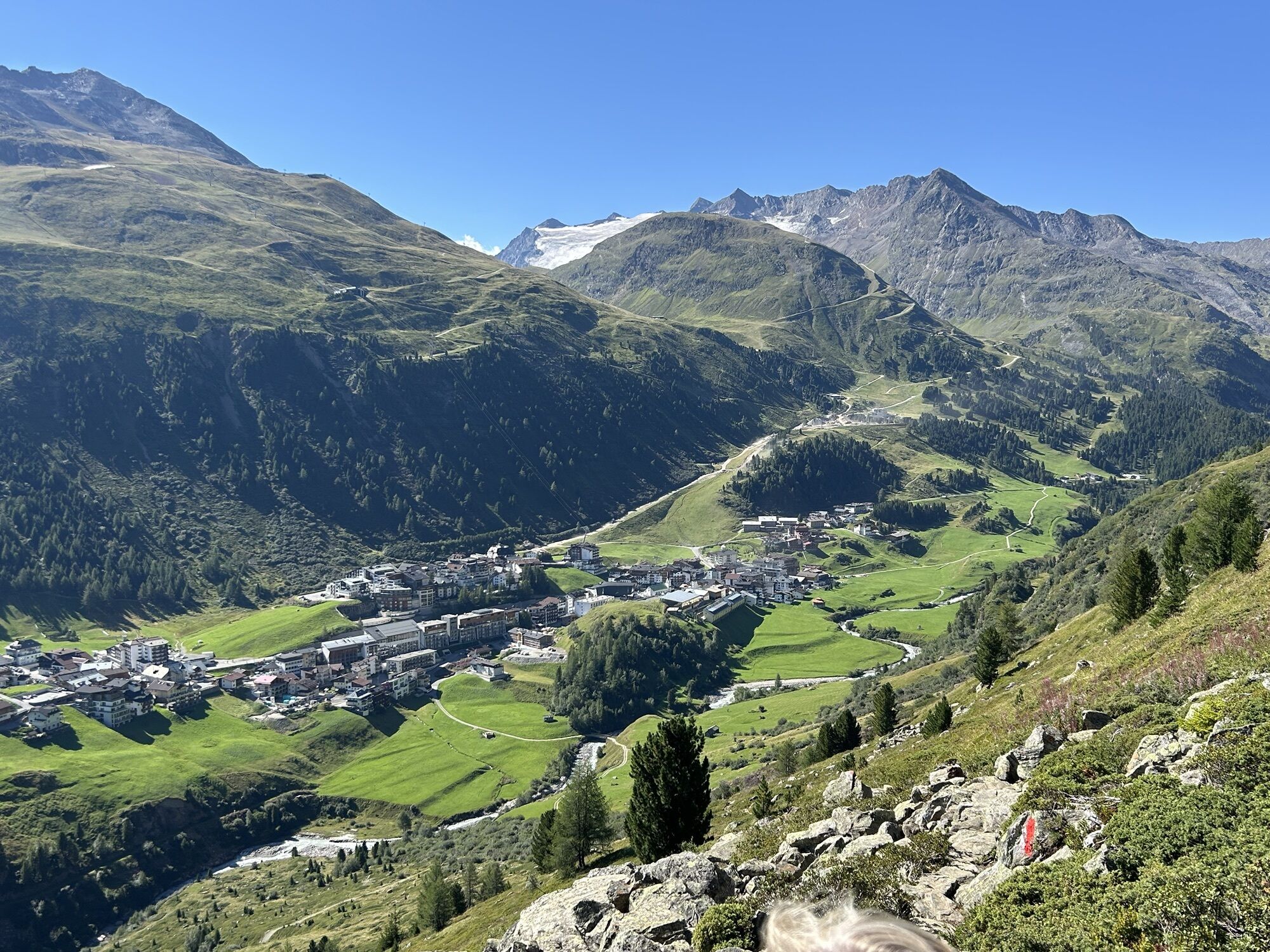
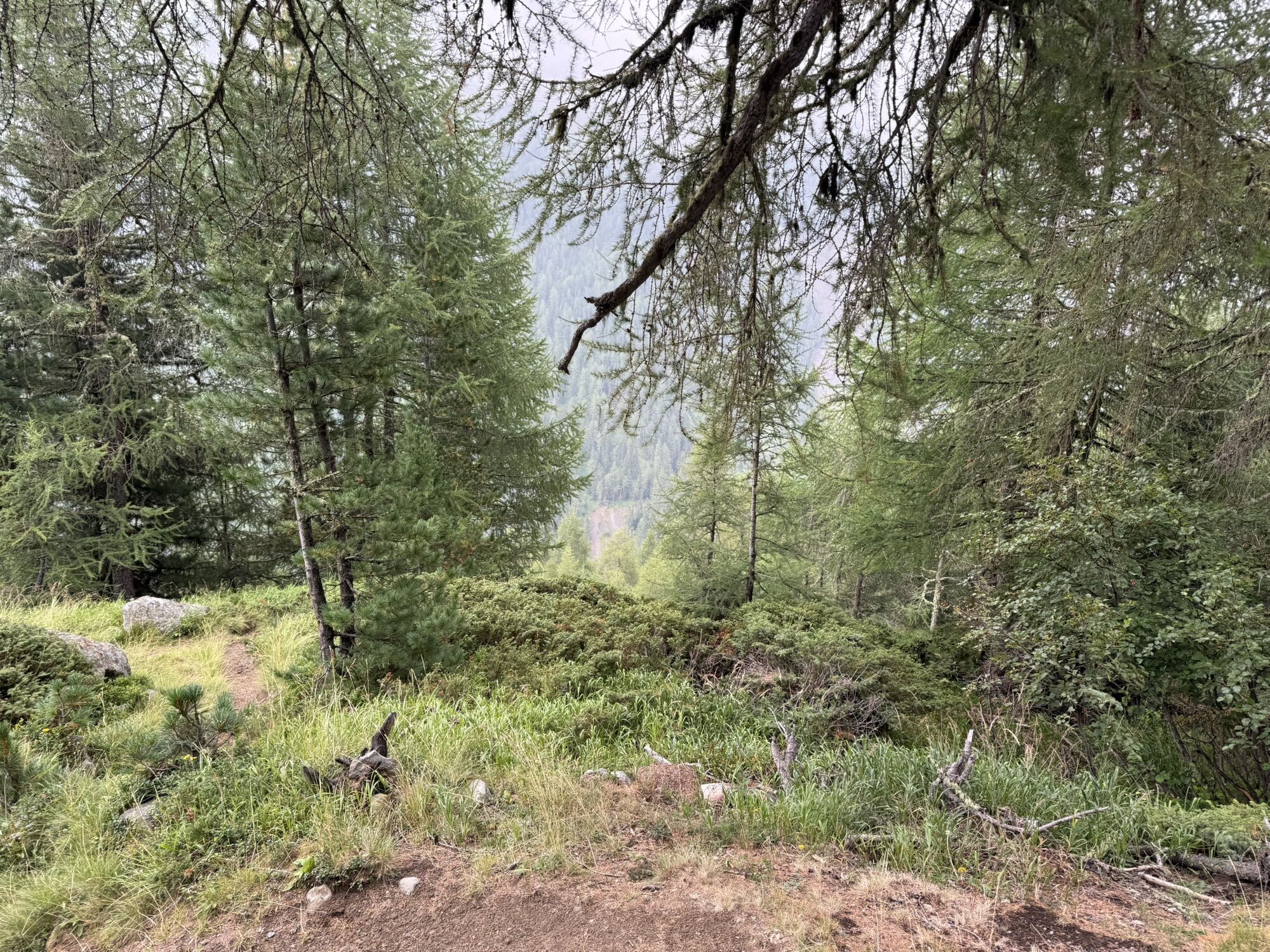
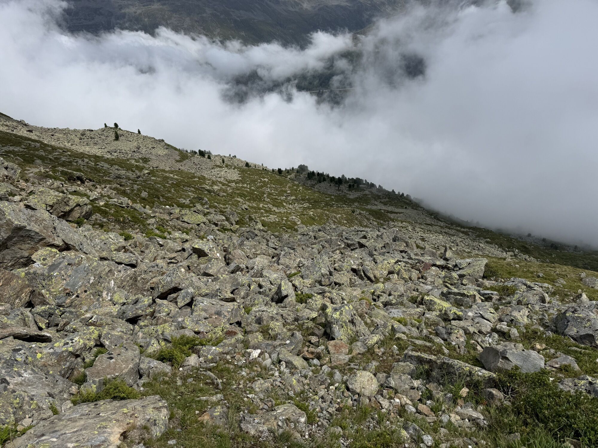
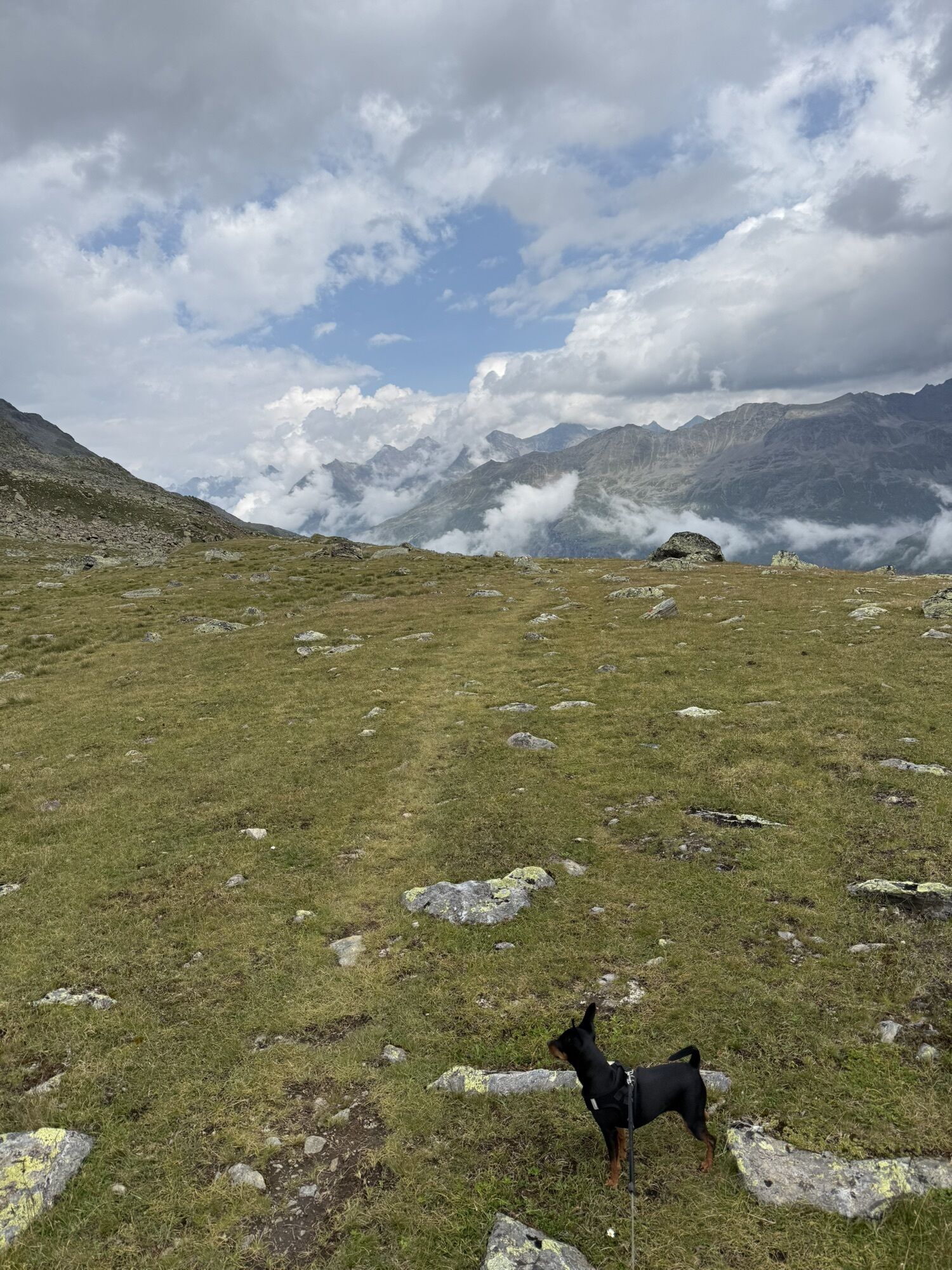
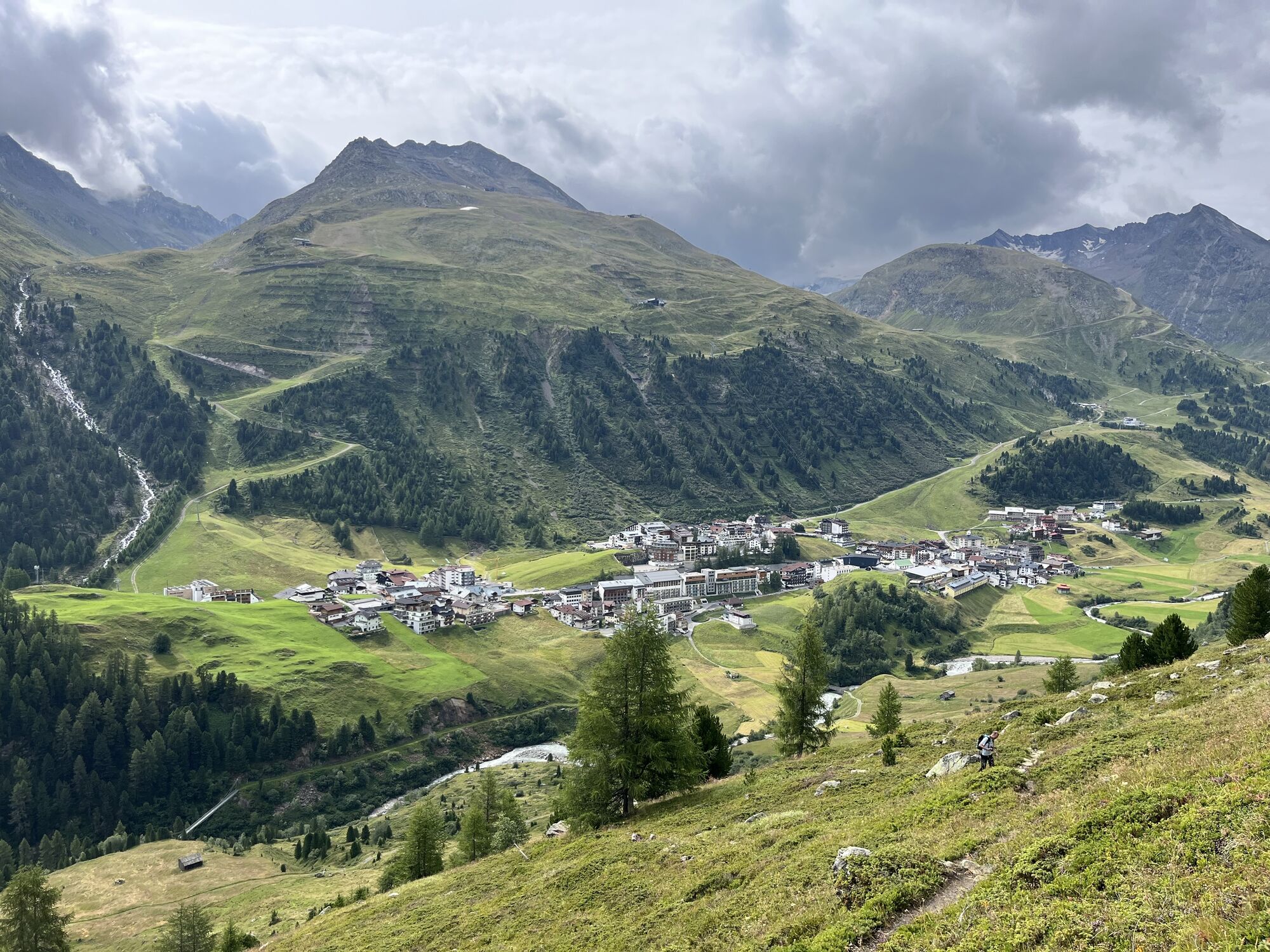
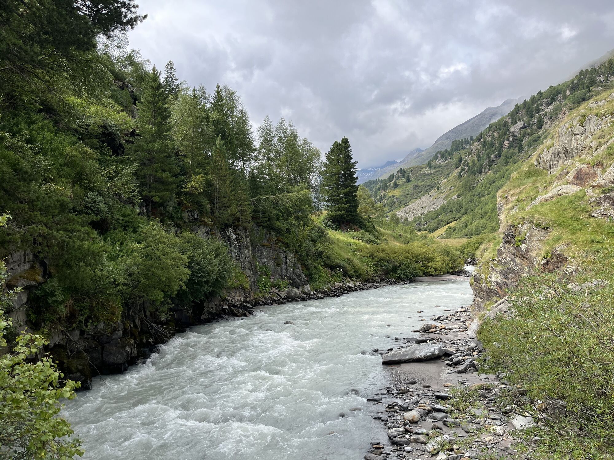
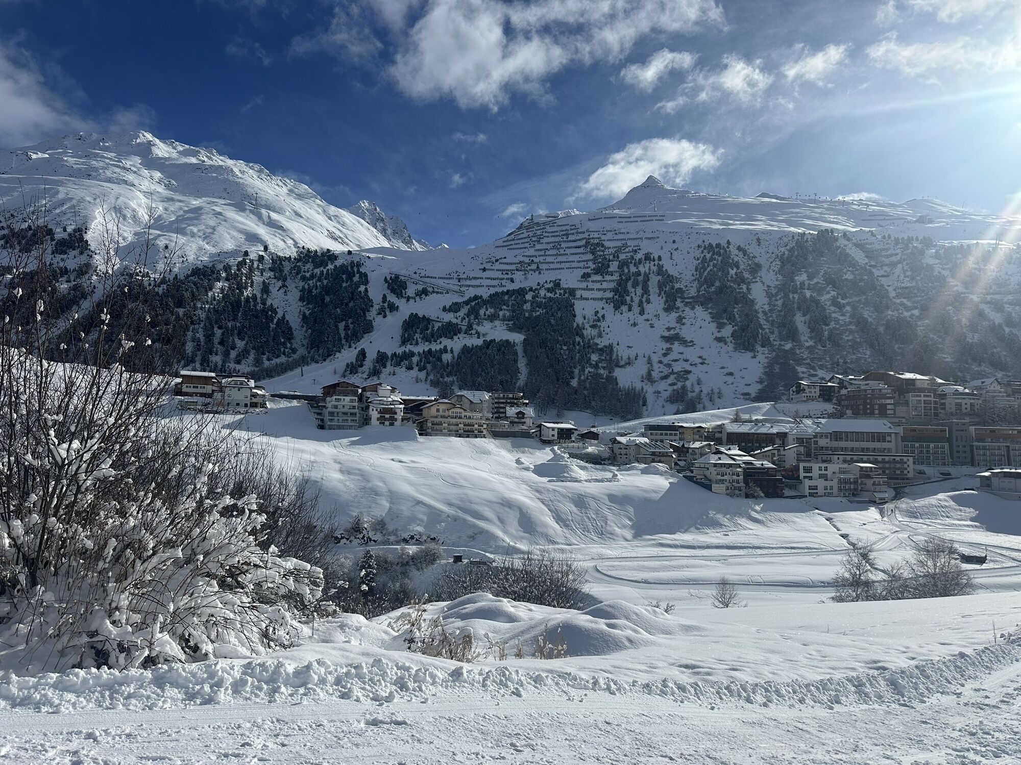
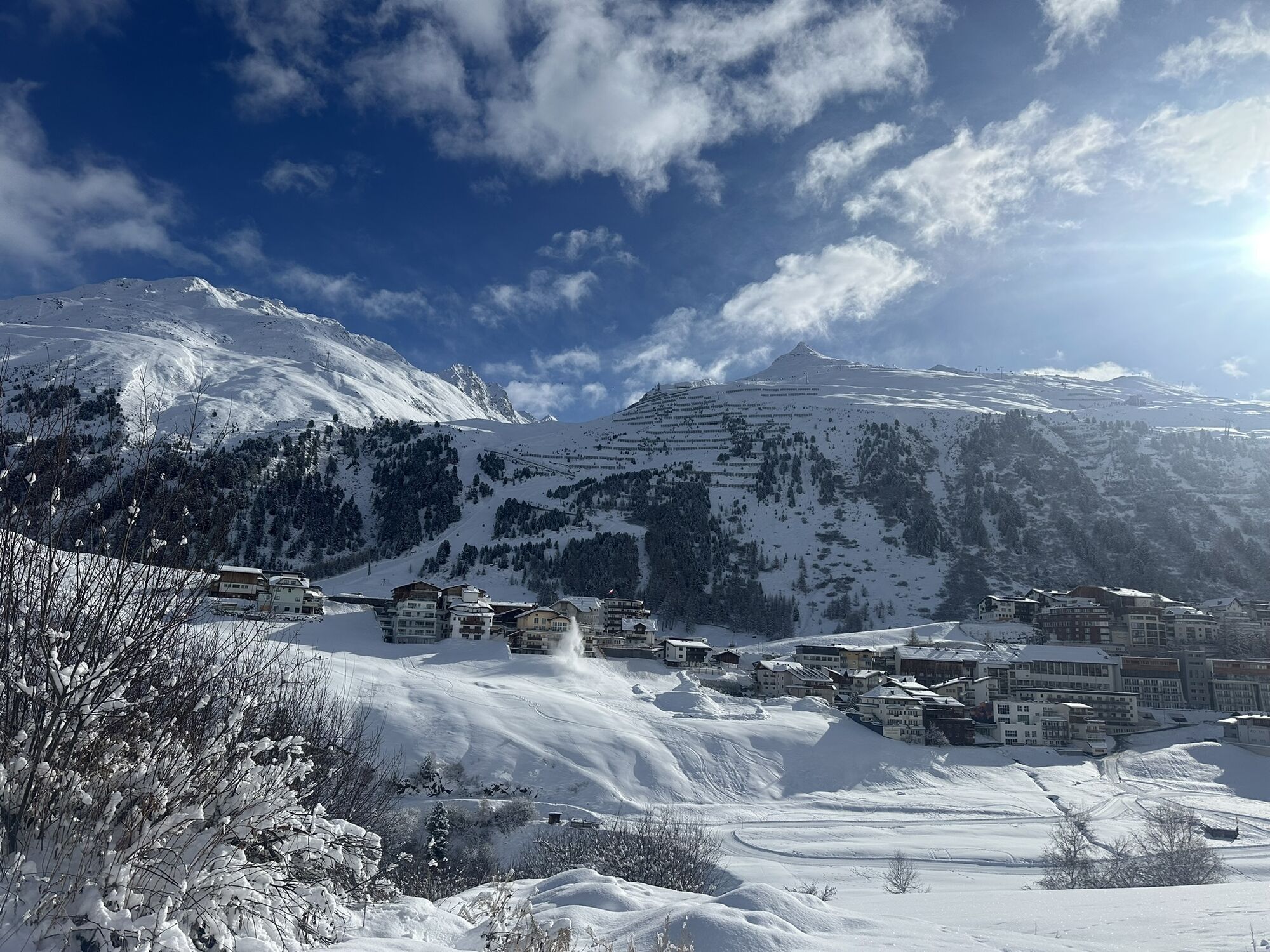
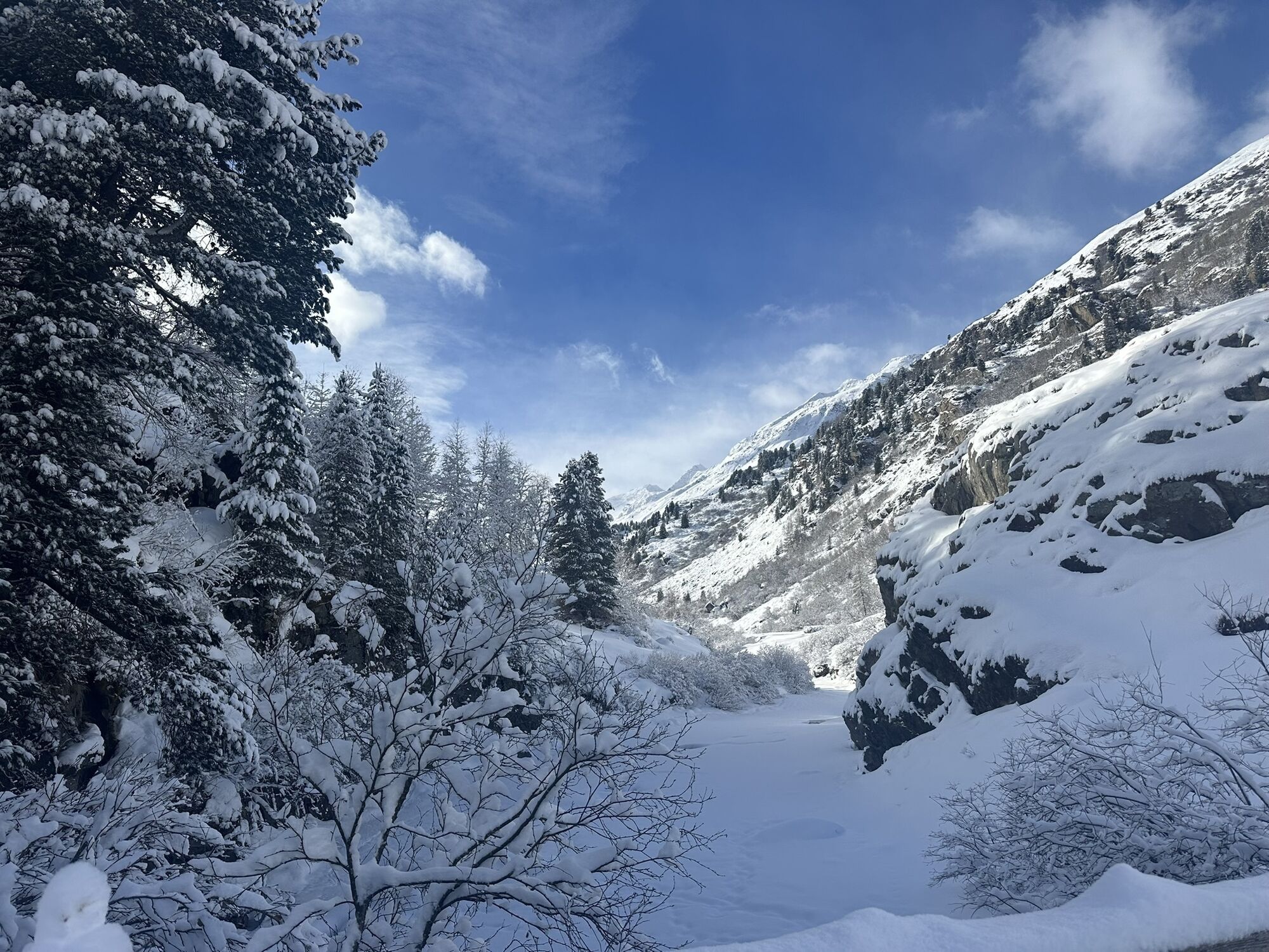
From the center of Obergurgl northwards to the Pirchhütter Ach bridge. Over the Gurgler Ache, the hiking trail continues steeply uphill on the western side of the valley to the lake area. Below the Soomsee,...
From the center of Obergurgl northwards to the Pirchhütter Ach bridge. Over the Gurgler Ache, the hiking trail continues steeply uphill on the western side of the valley to the lake area. Below the Soomsee, at the junction, continue down-valley towards Nedersee. From the north shore of the lake, descend to Lenzenalm and continue to the federal road. (Return by bus to Obergurgl - runs every 30 minutes).

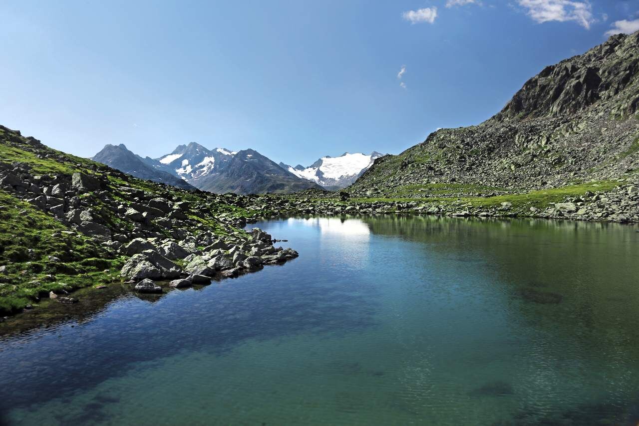
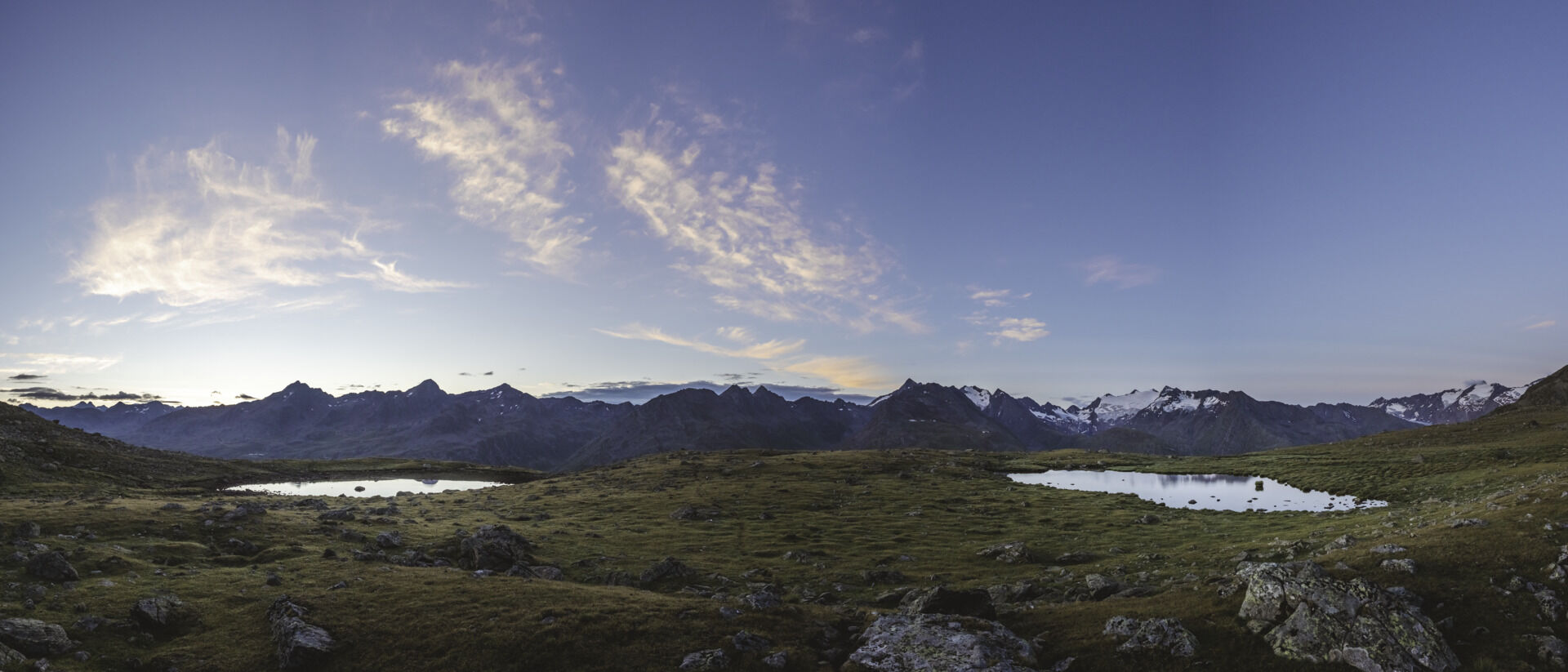
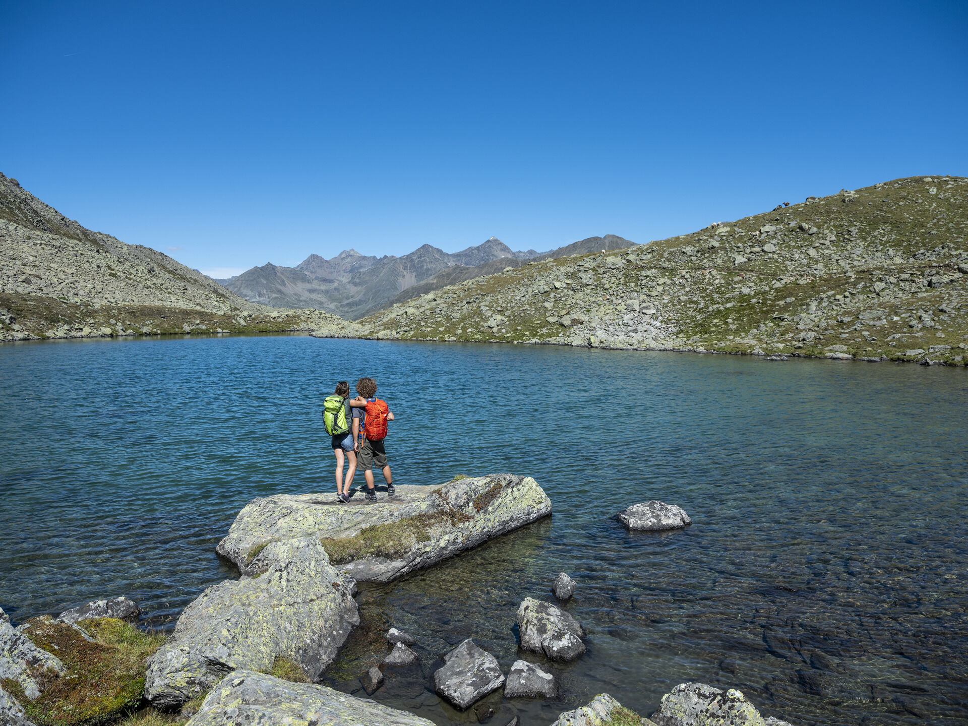
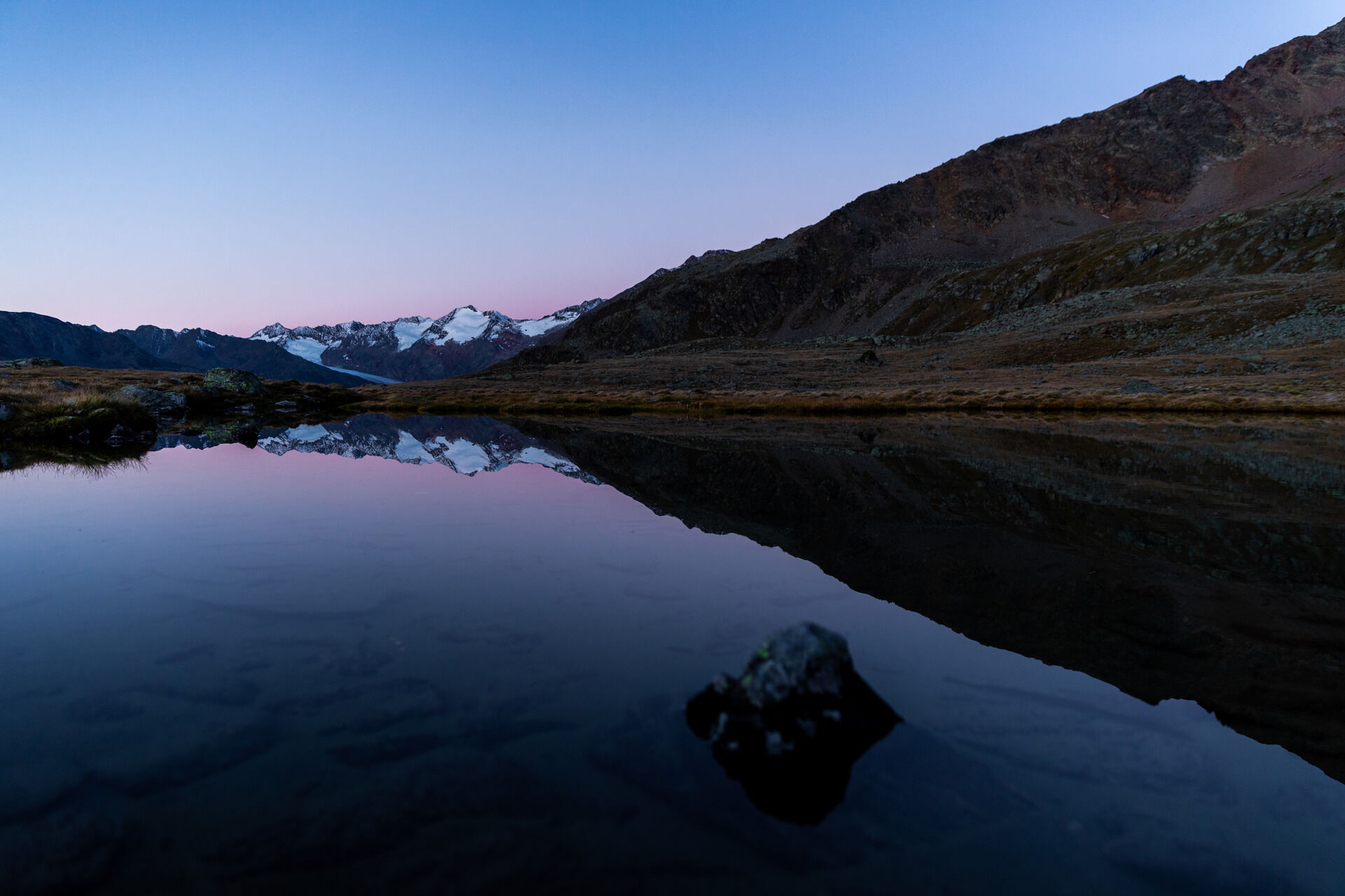

From the center of Obergurgl northwards to the Pirchhütter Ach bridge. Over the Gurgler Ache, the hiking trail continues steeply uphill on the western side of the valley to the lake area. Below the Soomsee, at the junction, continue down-valley towards Nedersee. From the north shore of the lake, descend to Lenzenalm and continue to the federal road. (Return by bus to Obergurgl - runs every 30 minutes).
Appropriate equipment such as breathable and weather-appropriate outdoor clothing, ankle-high hiking boots, wind, rain, and sun protection, hat, and possibly gloves is required for all hikes and routes. Carrying a first aid kit, a mobile phone, and possibly a hiking map, as well as sufficient provisions for hikes without the option to restock, is necessary.
Moderate mountain trail; suitable for sure-footed and experienced mountain hikers.
Good physical condition, mountain experience, and mountain equipment (see equipment section) are necessary. Please check the current weather report at: https://www.oetztal.com/de/sommer.html
Driving into the ÖTZTAL. Located in Tyrol, the ÖTZTAL branches southwards as the longest side valley of the Eastern Alps. Traveling by car takes visitors through the Inn valley to the valley entrance and further along the Ötztal. Besides the toll motorway, country roads can also be used. Use the route planner to quickly and conveniently plan your drive: Route planner: https://www.google.at/maps.
Travel comfortably and safely by train to the Ötztal station. The final station or exit point is the ÖTZTAL station. Then, travel conveniently and quickly with public transportation or local taxi services through the whole valley to your desired destination! The current bus schedule is available at: http://fahrplan.vvt.at
The following parking options are available in Gurgl:
Parking garage village center Obergurgl (go down right in front of the church), paid | € 2.00 first hour, for every additional 1/2 hour € 1.00 up until max. € 16.00 for 24 hours
Parking garage village entrance – Festkoglbahn valley station, paid | € 6.00 from 8:00 am to 8:00 pm, € 10.00 from 8:00 pm to 8:00 am
Parking lot Hochgurglbahn valley station, free – no overnight parking
Parking lot Top Mountain Crosspoint, free
More information about hiking in the Ötztal: https://www.oetztal.com/wandern
From the Nedersee junction, the Soomsee can be reached within a few minutes on foot, and in another 30 minutes, the larger Itlsee.

 Uzyskaj wgląd
Zawsze na żywo z ponad 9 500 kamer internetowych. bergfex Jako użytkownik Pro, możesz teraz zobaczyć odpowiednie kamery internetowe dla wielu wycieczek w aplikacji wycieczki od. Pozwala to na bezpośredni podgląd aktualnych warunków.
Uzyskaj wgląd
Zawsze na żywo z ponad 9 500 kamer internetowych. bergfex Jako użytkownik Pro, możesz teraz zobaczyć odpowiednie kamery internetowe dla wielu wycieczek w aplikacji wycieczki od. Pozwala to na bezpośredni podgląd aktualnych warunków.

Popularne wycieczki w okolicy
-
4,7
Vent - Kreuzspitze
Wędrówka 20,6 km -
4,5
Vent - Wilder Mann - Breslauer Hütte - Stableinalm
średniWędrówka 7,25 km -
3,8
Breslauer Hut
średniWędrówka 4,75 km -
4,4
Hochtour Wildspitze, 3.768m
średniWycieczka wysokogórska 9,75 km -
4,6
Hochwilde - Pfelders
średniWycieczka wysokogórska 22,1 km -
4,3
Hohe Geige über Gawinden und den Westgrat
ciężkiWędrówka 14,3 km -
3,4
Tiefenbachglacier - Mountaineering Village Vent
średniWędrówka 10,8 km -
5,0
Obergurgl - Ramolhaus
Wędrówka 7 km -
4,8
Seeber-See Rundweg
światłoWycieczki górskie 7,96 km -
4,2
Water Walker Waal Path Mooserstegle Sölden
światłoTrasa tematyczna 4,64 km

Wędrówki i tropienie


Nie przegap ofert i inspiracji na następne wakacje
Twój adres e-mail została dodana do listy mailingowej.





