
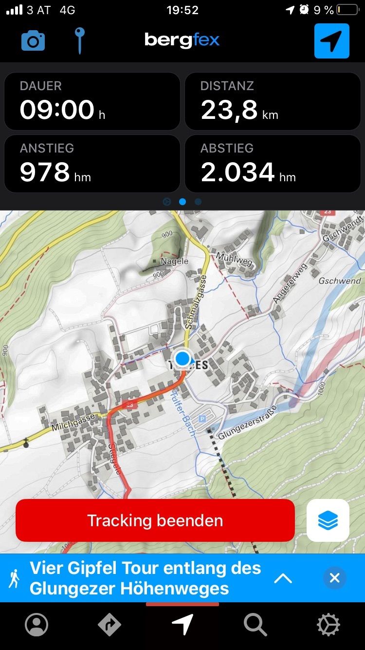
Dane wycieczki
23,12km
904
- 2.630m
977hm
2.033hm
06:25h
- Krótki opis
-
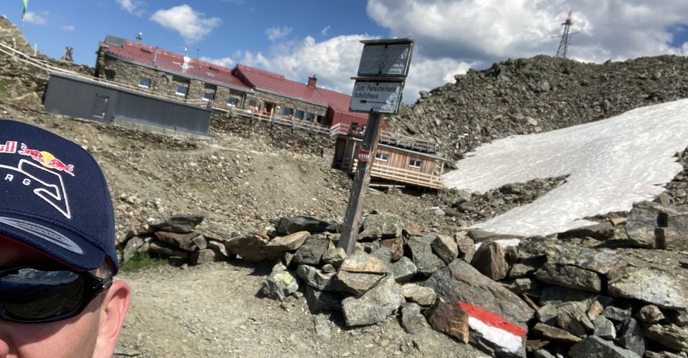
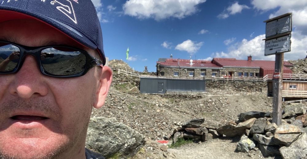
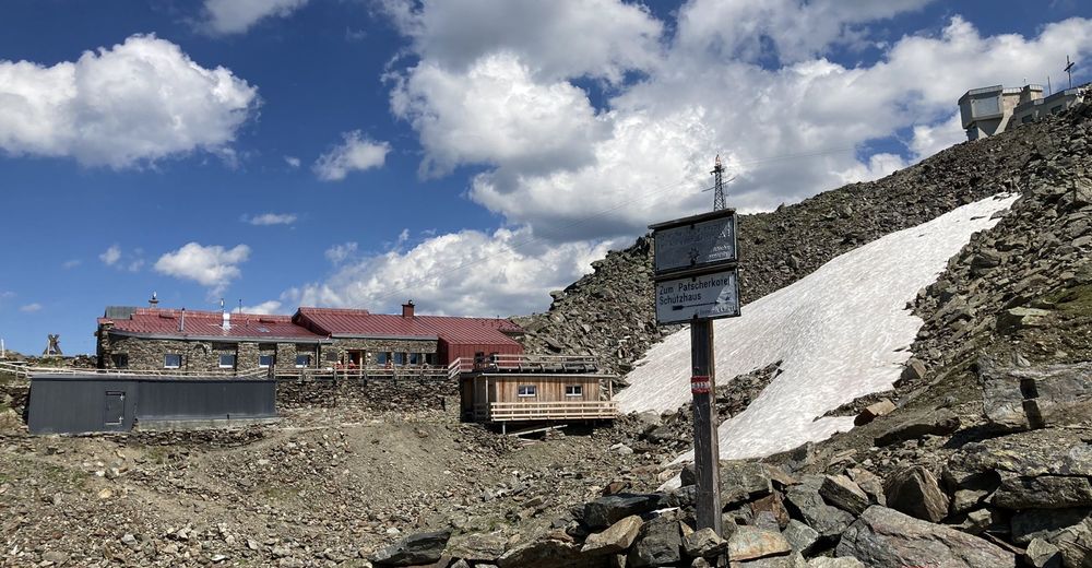
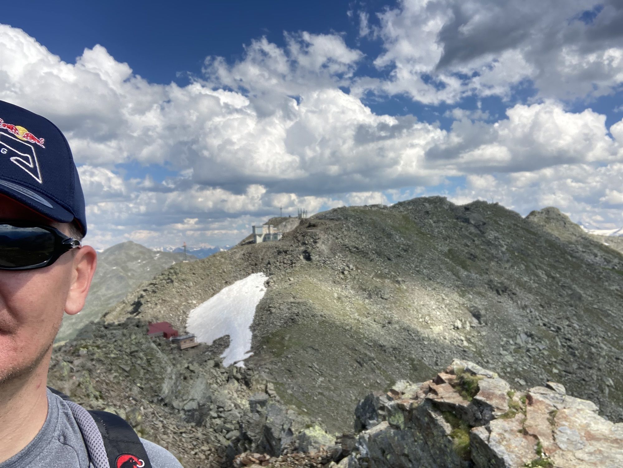
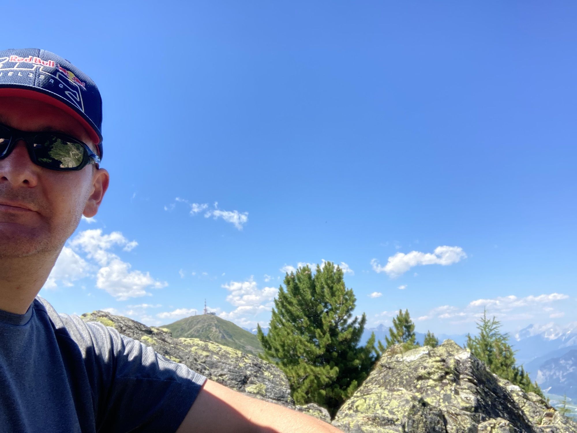
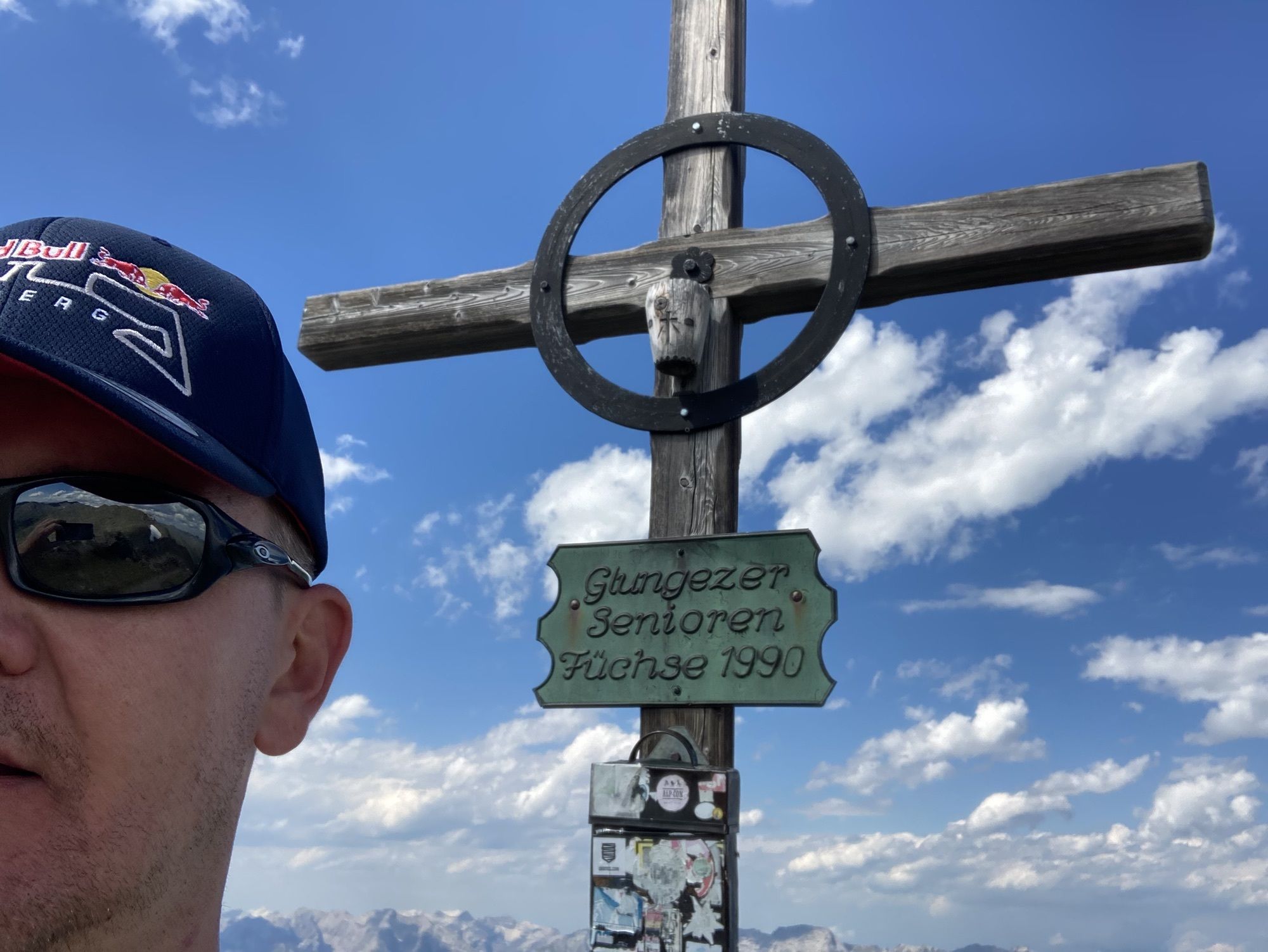
4 Gipfel plus Glungetzer Hütte mit Abstieg bis Tulfes
- Stopień trudności
-
ciężkie
- Ocena
-
- Trasa
-
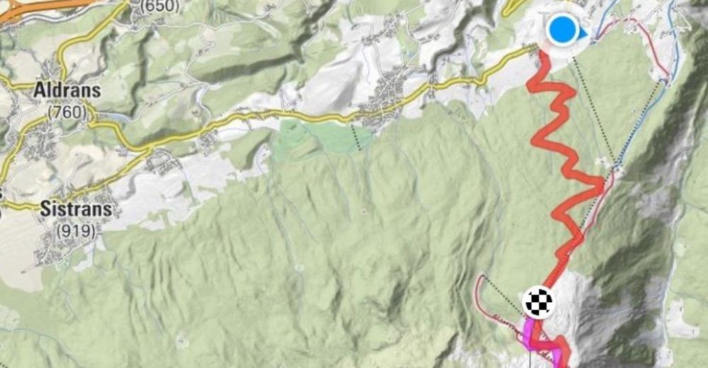
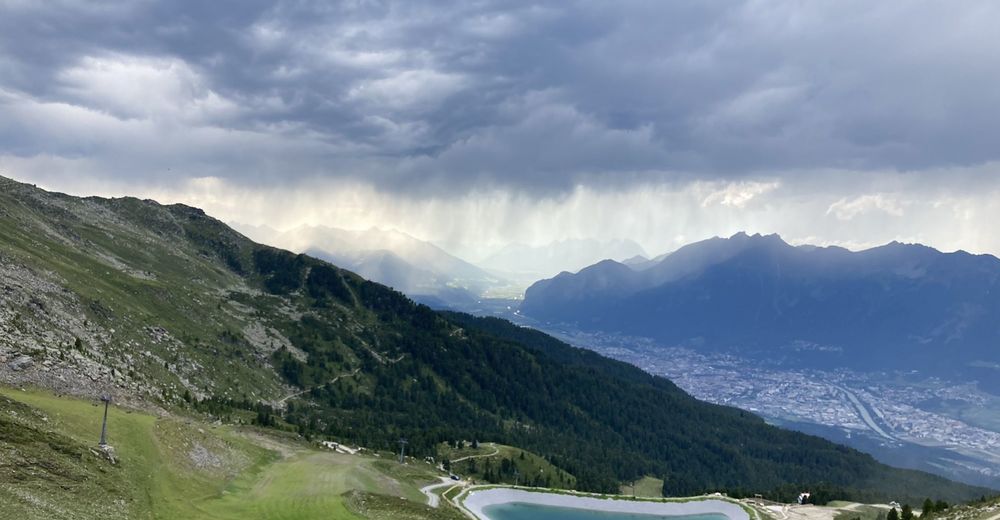
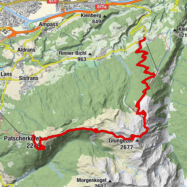
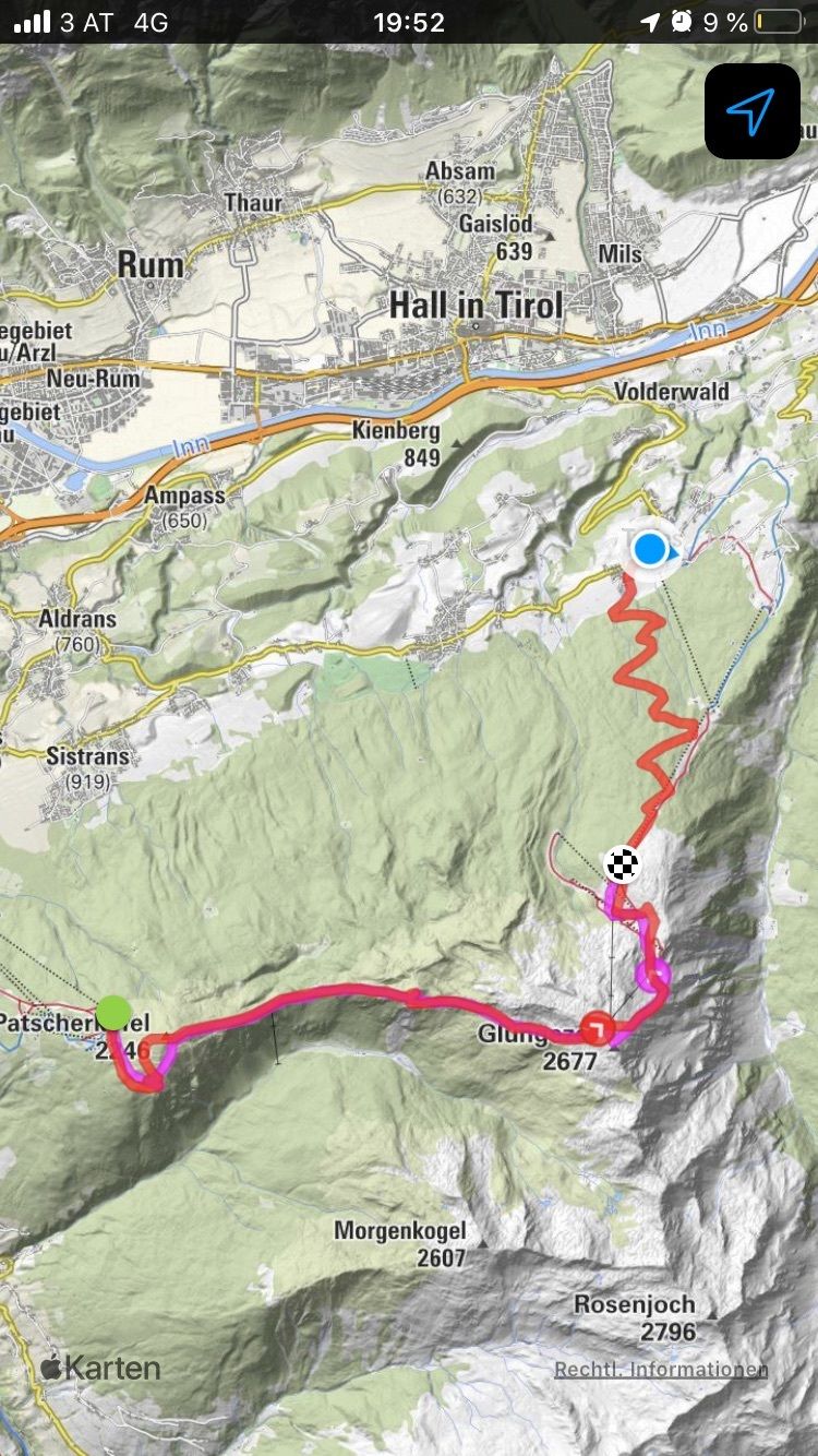
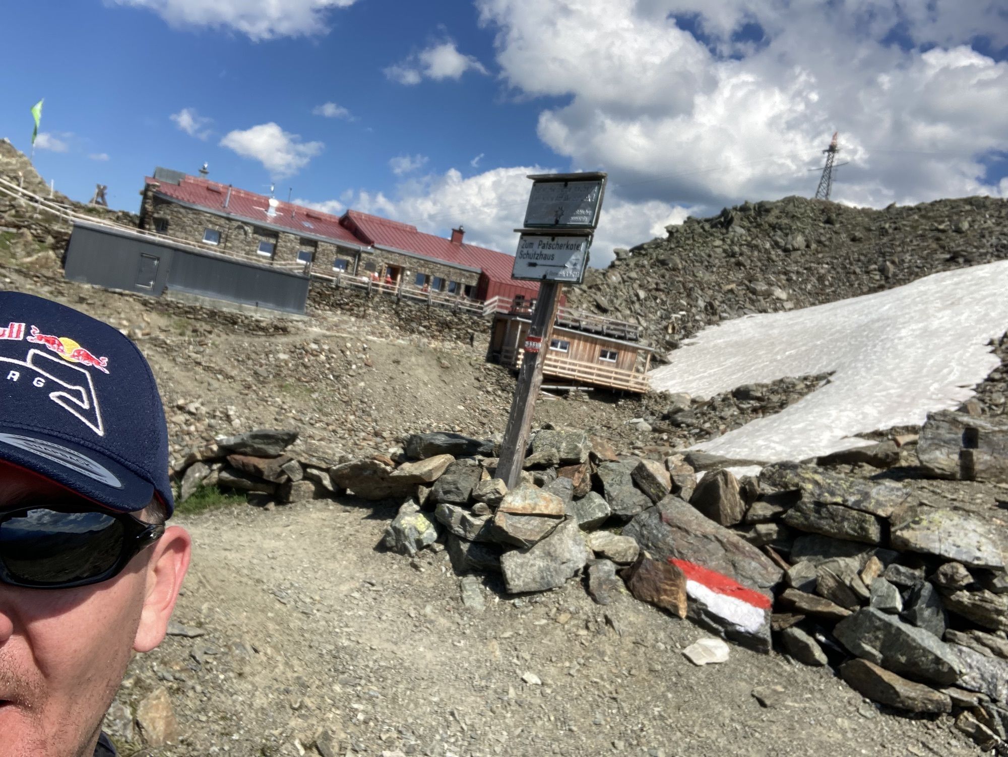
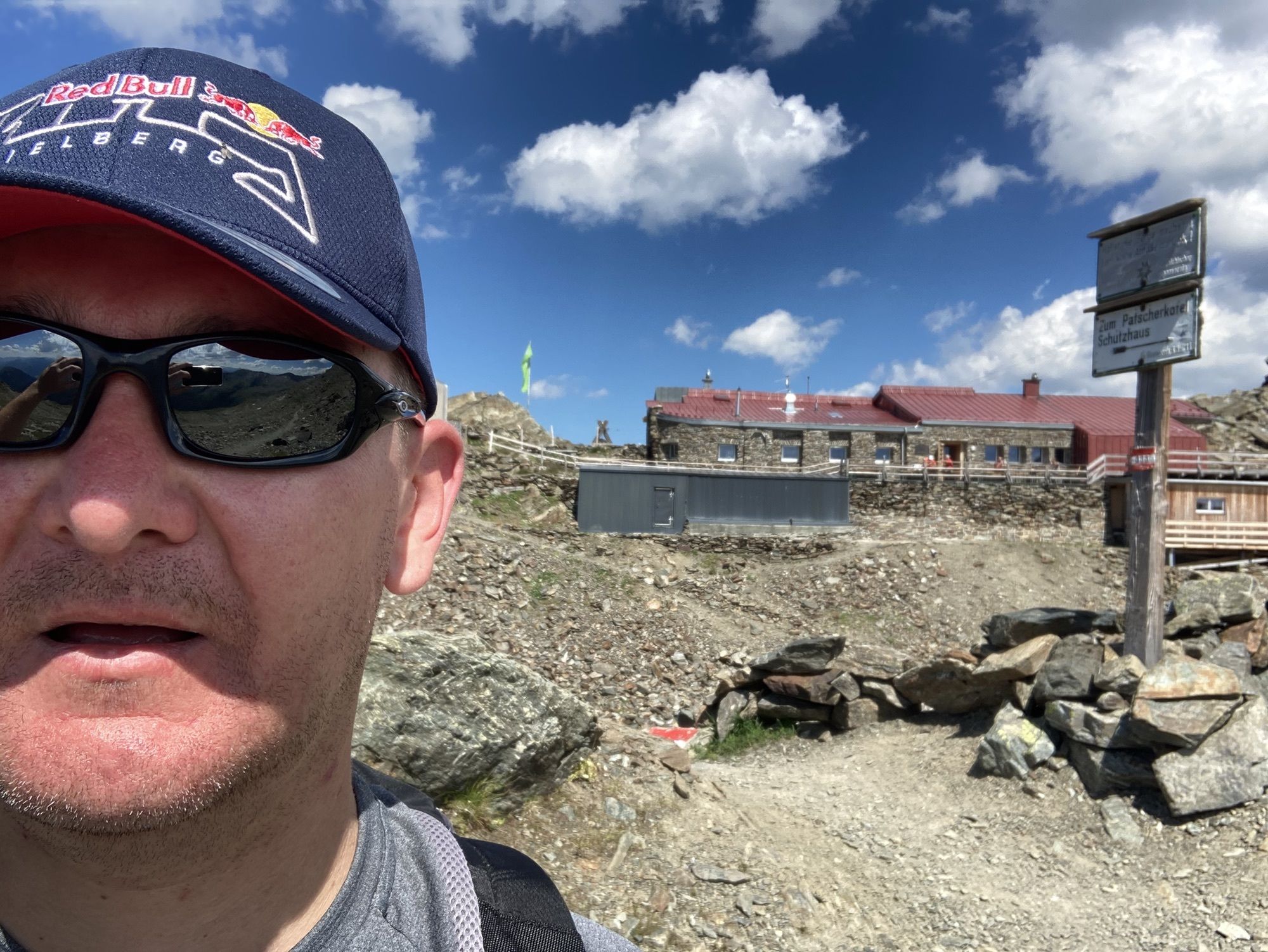
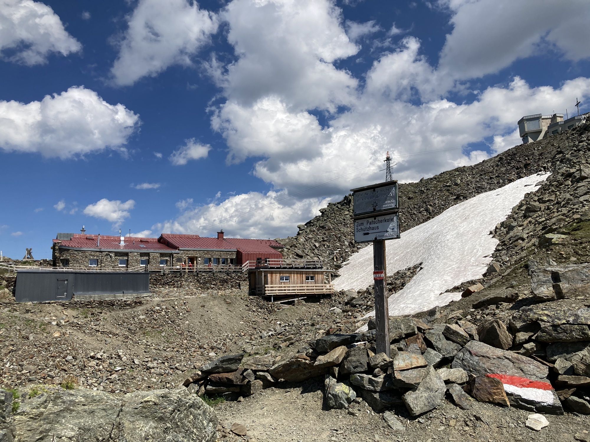
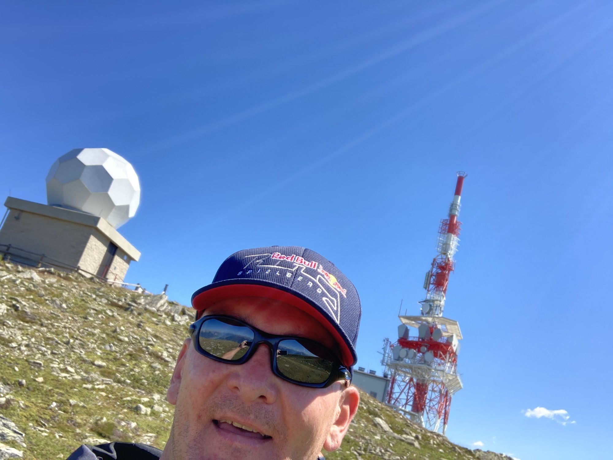
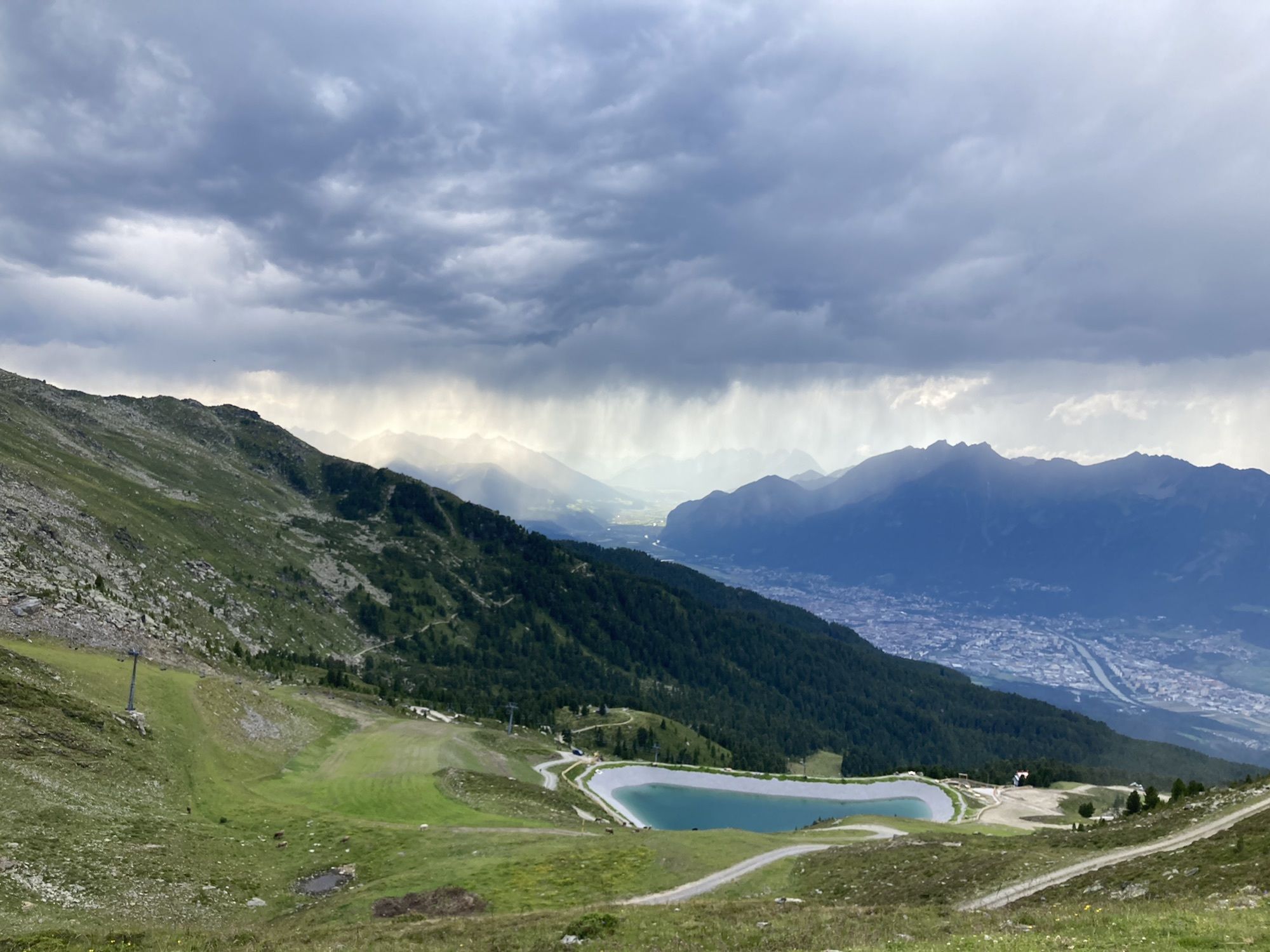
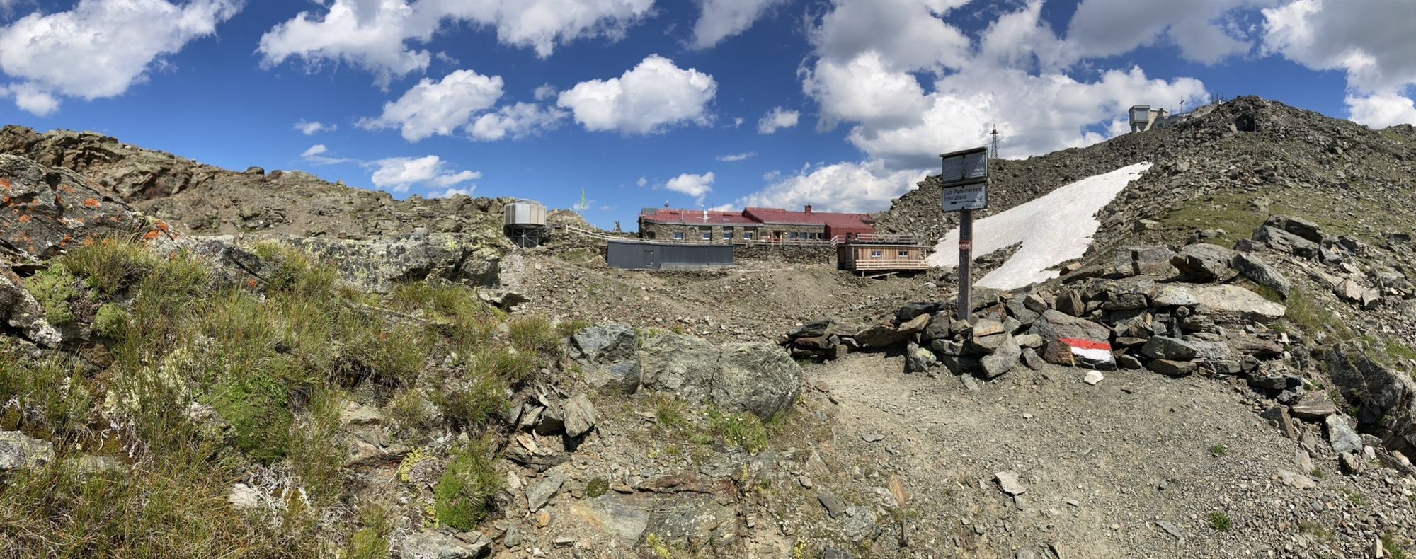
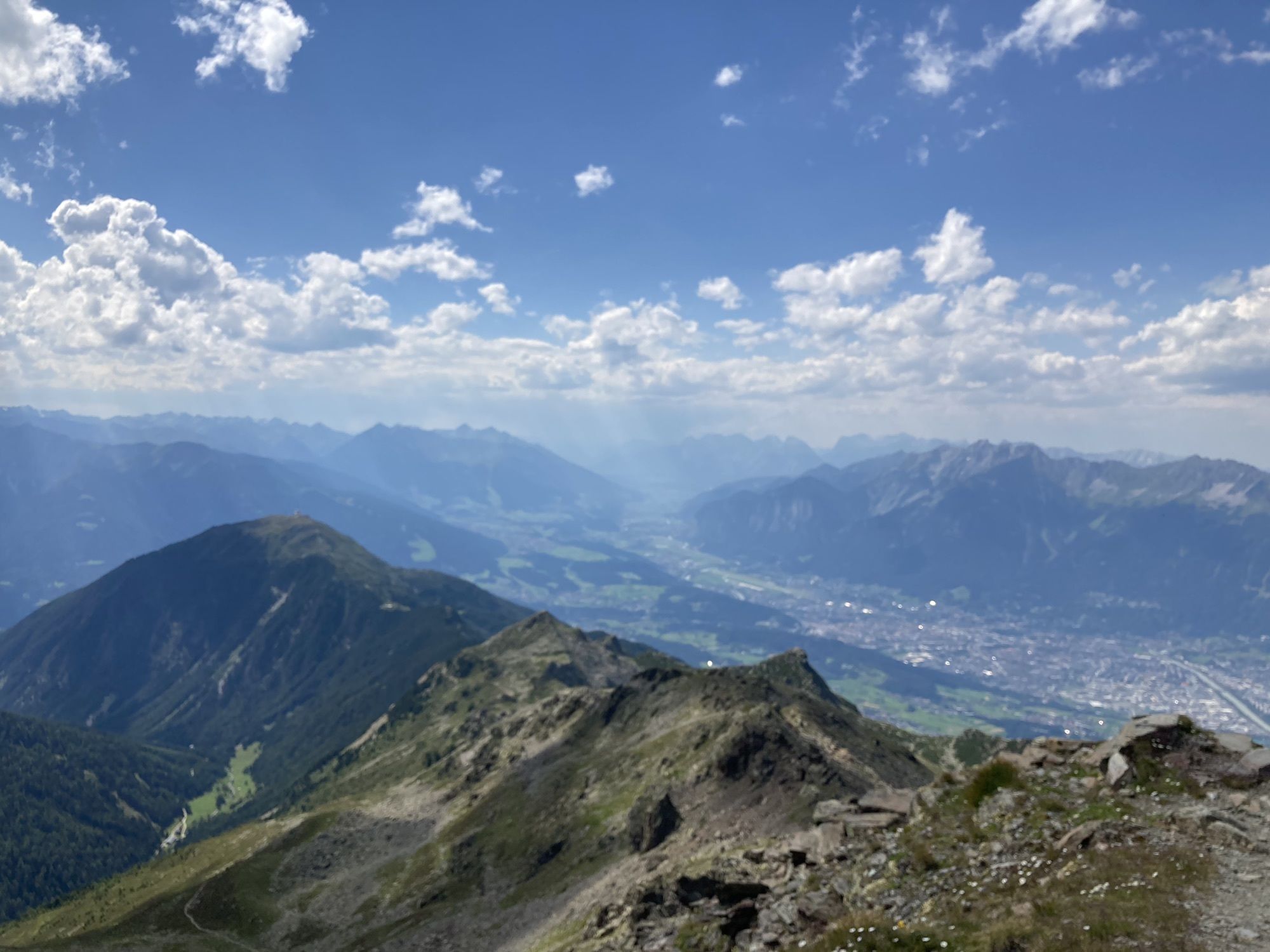
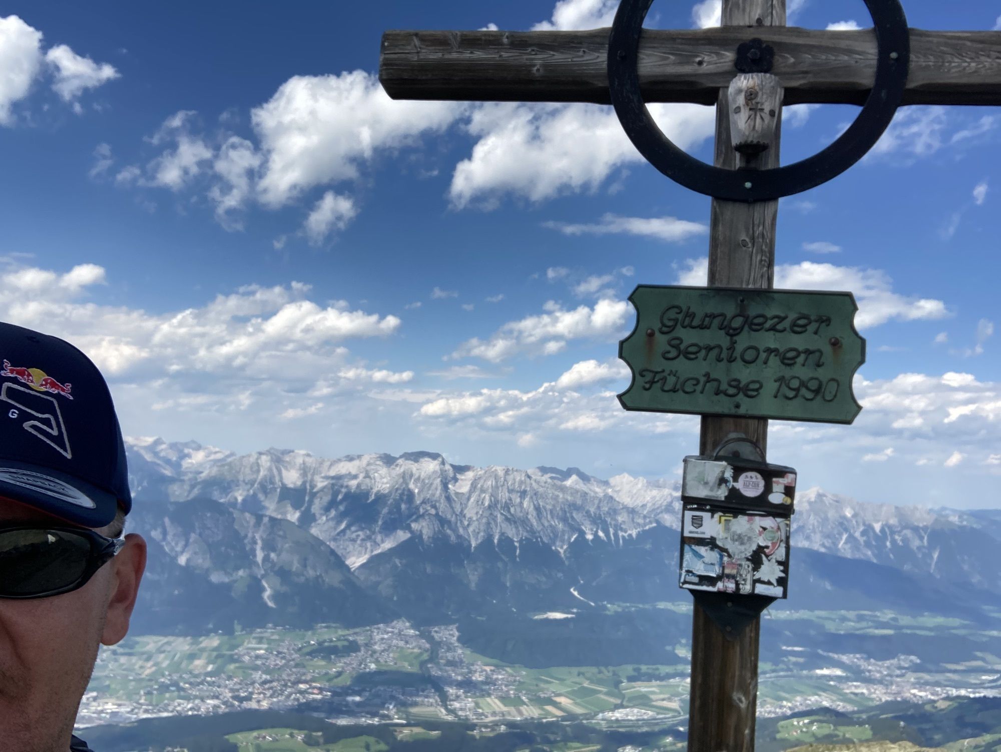
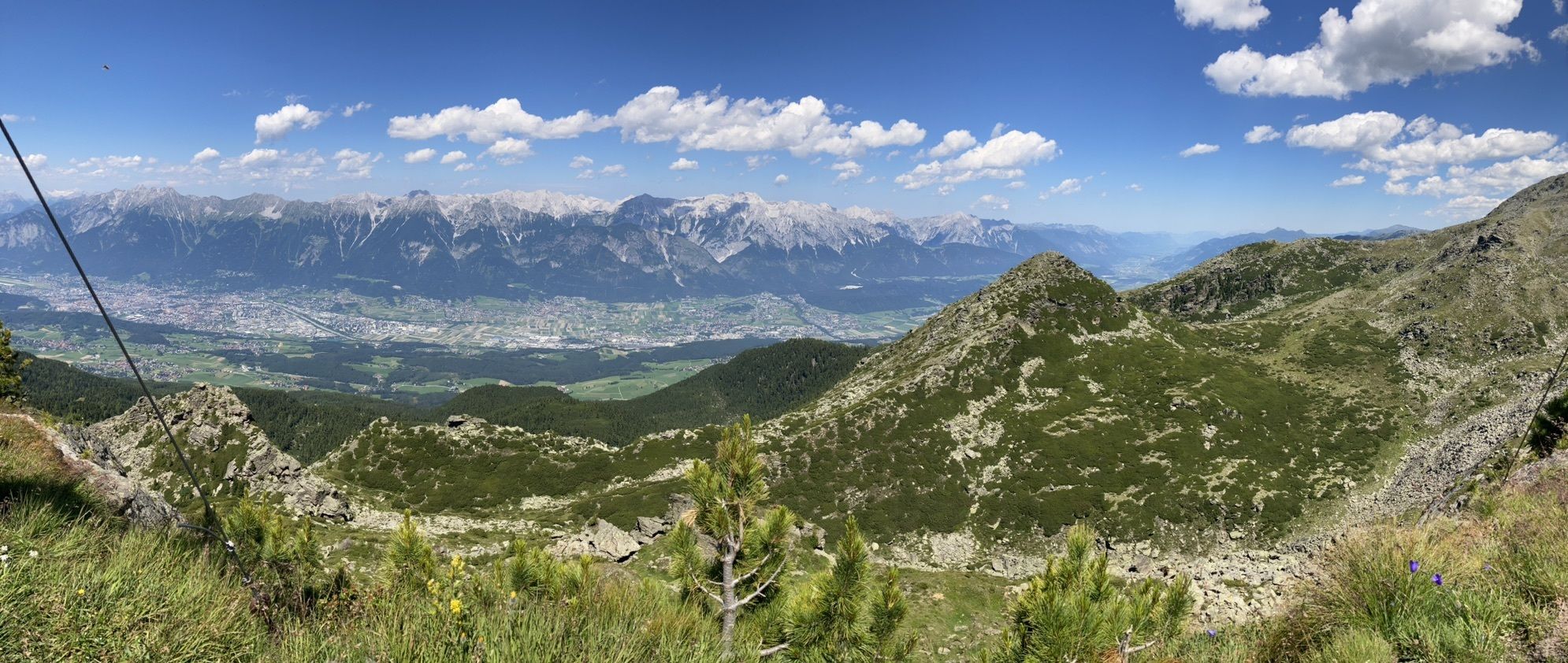
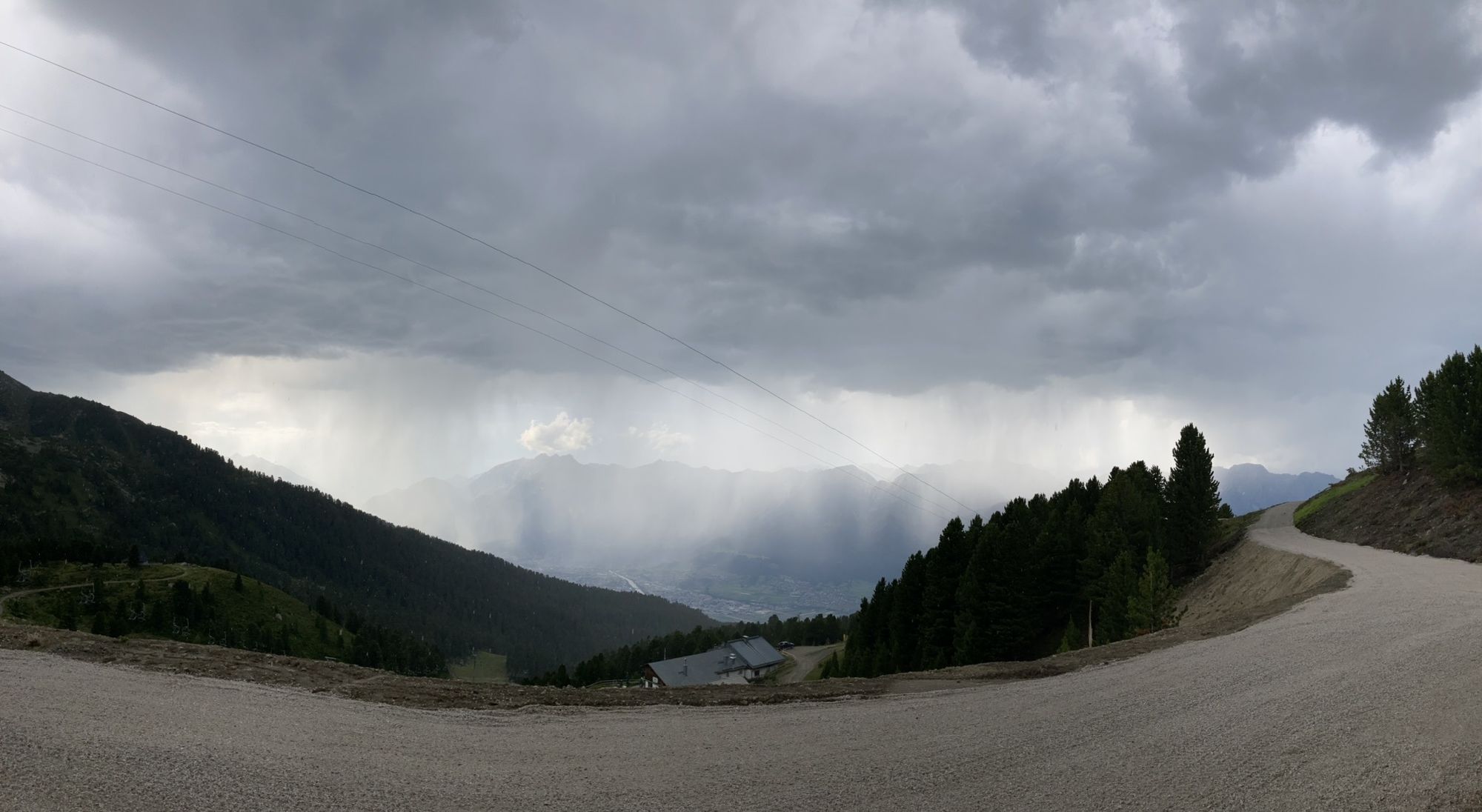
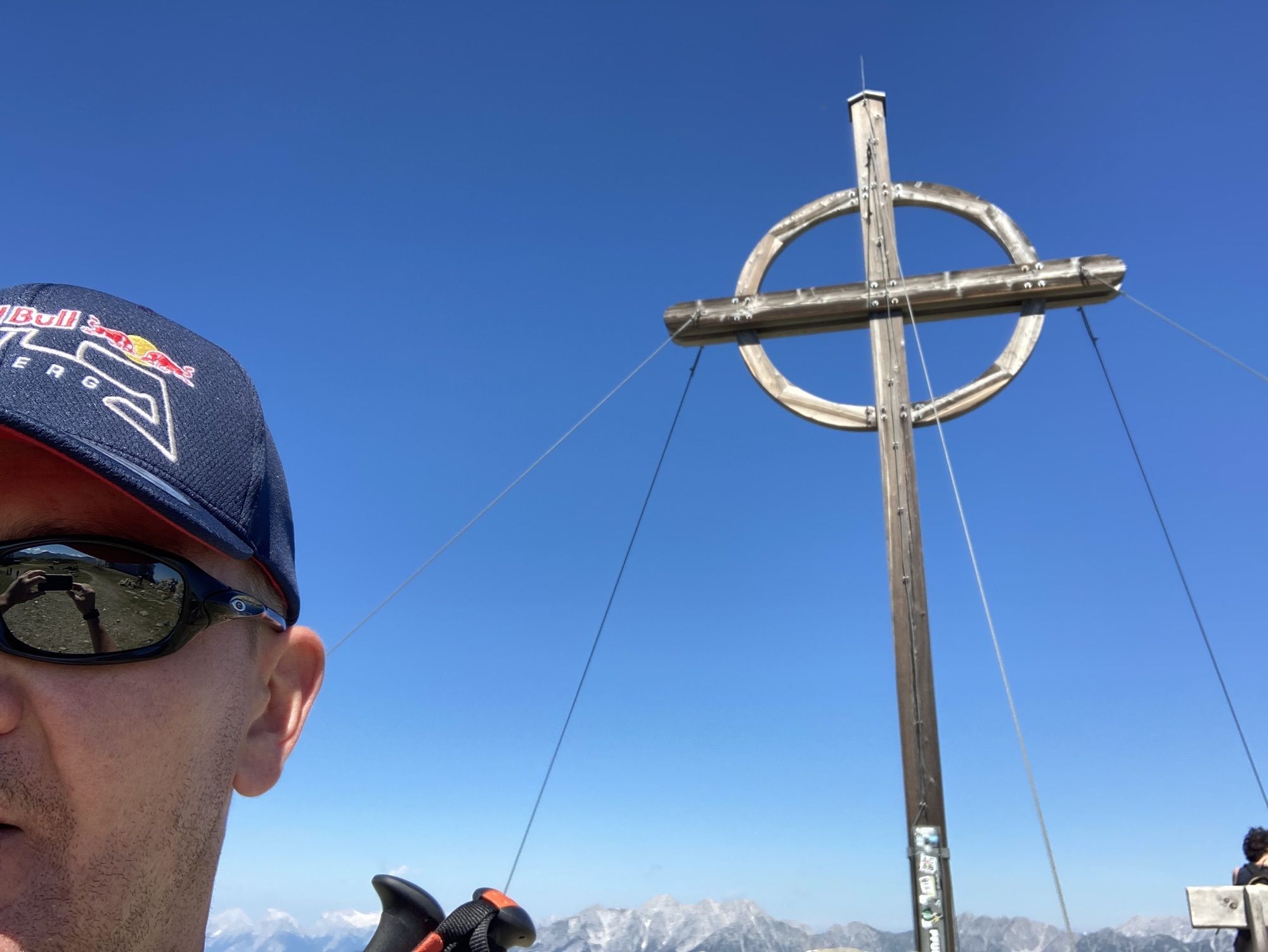
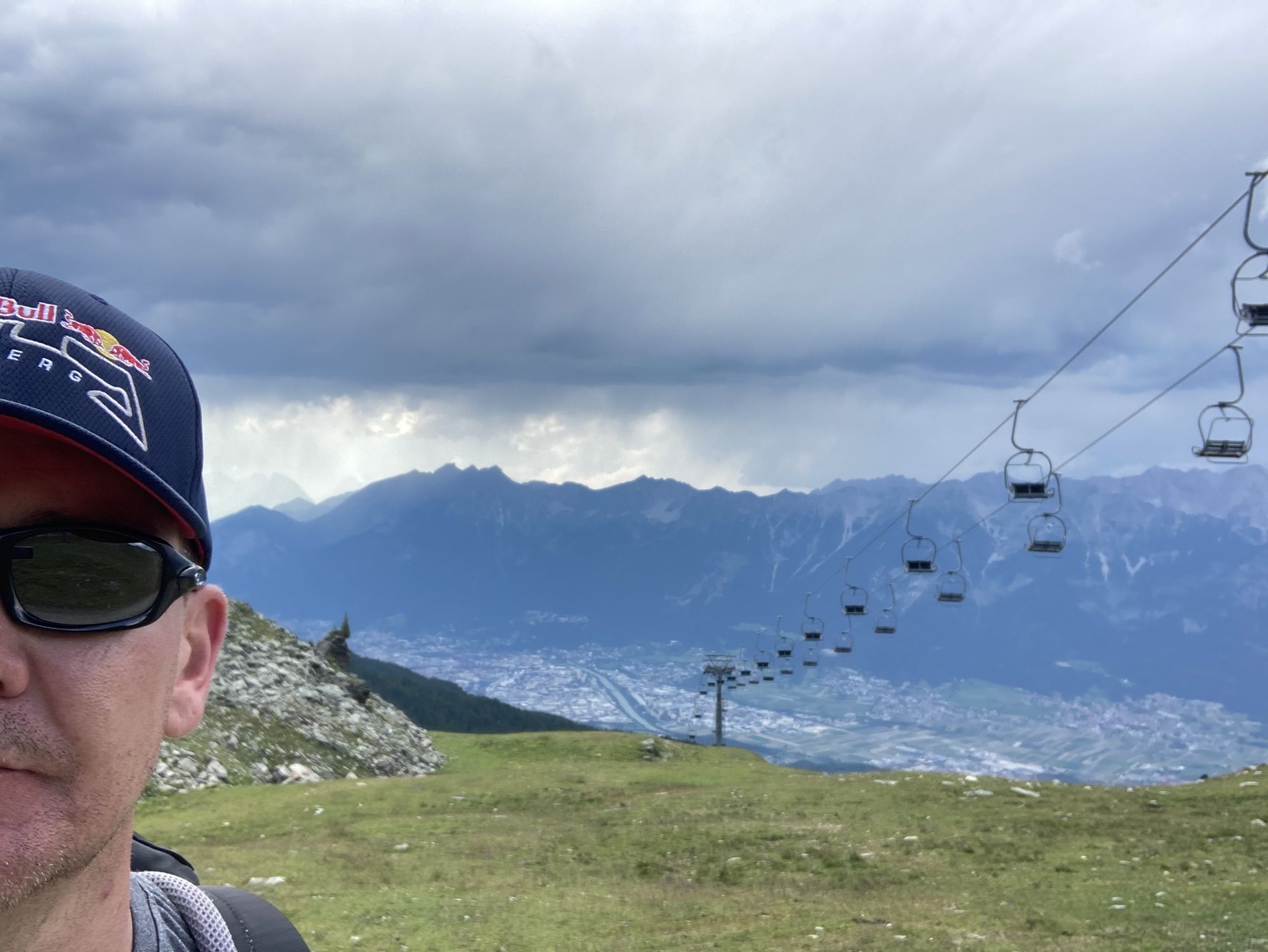
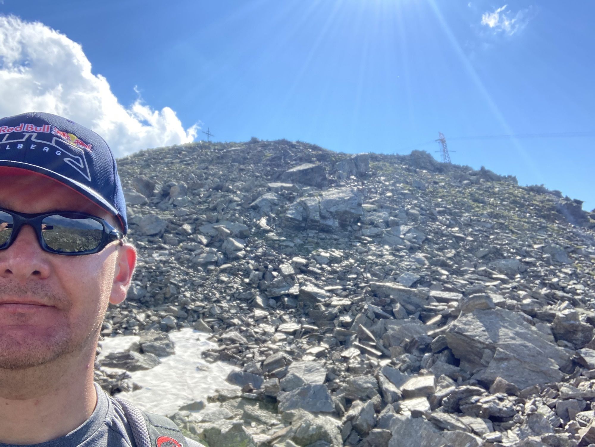
Das KofelPatscherkofel Schutzhaus0,0 kmPatscherkofel (2.246 m)2,7 kmBoscheben4,3 kmViggarspitze (2.306 m)6,5 kmGlungezerhütte10,0 kmSonnenspitze (2.639 m)10,2 kmSpielplatz Zirbensee13,7 kmPfarrkirche Tulfes22,7 kmTulfes (923 m)23,0 km
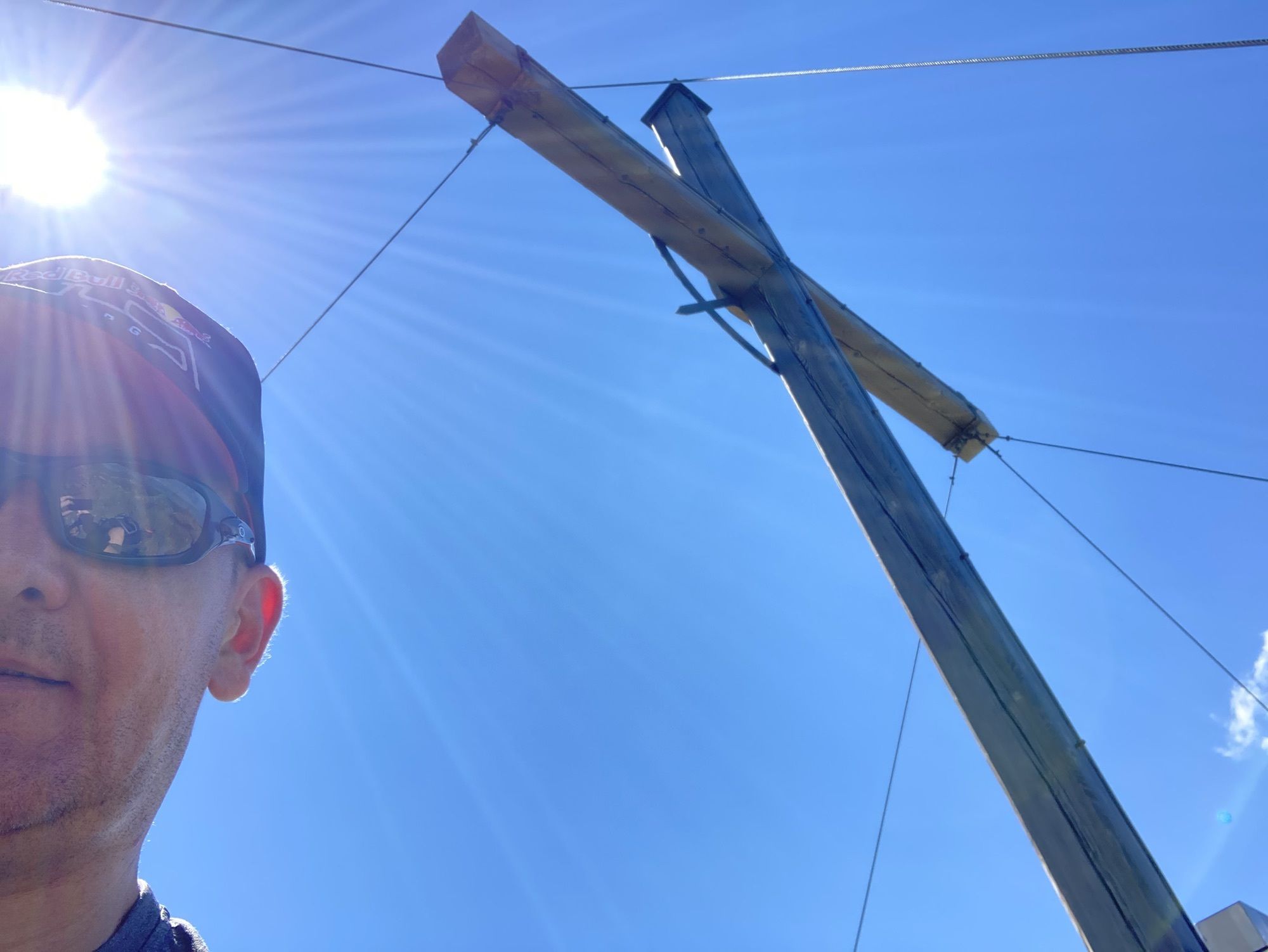
- Najwyższy punkt
- 2.630 m


GPS Downloads


Więcej wycieczek w regionach


