







Obergurgl - Hohe Mut gondola II
Poziom trudności: T2
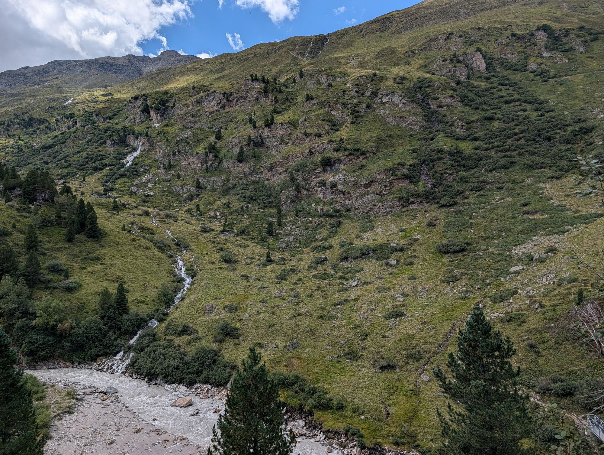
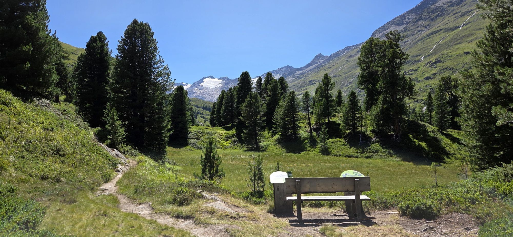
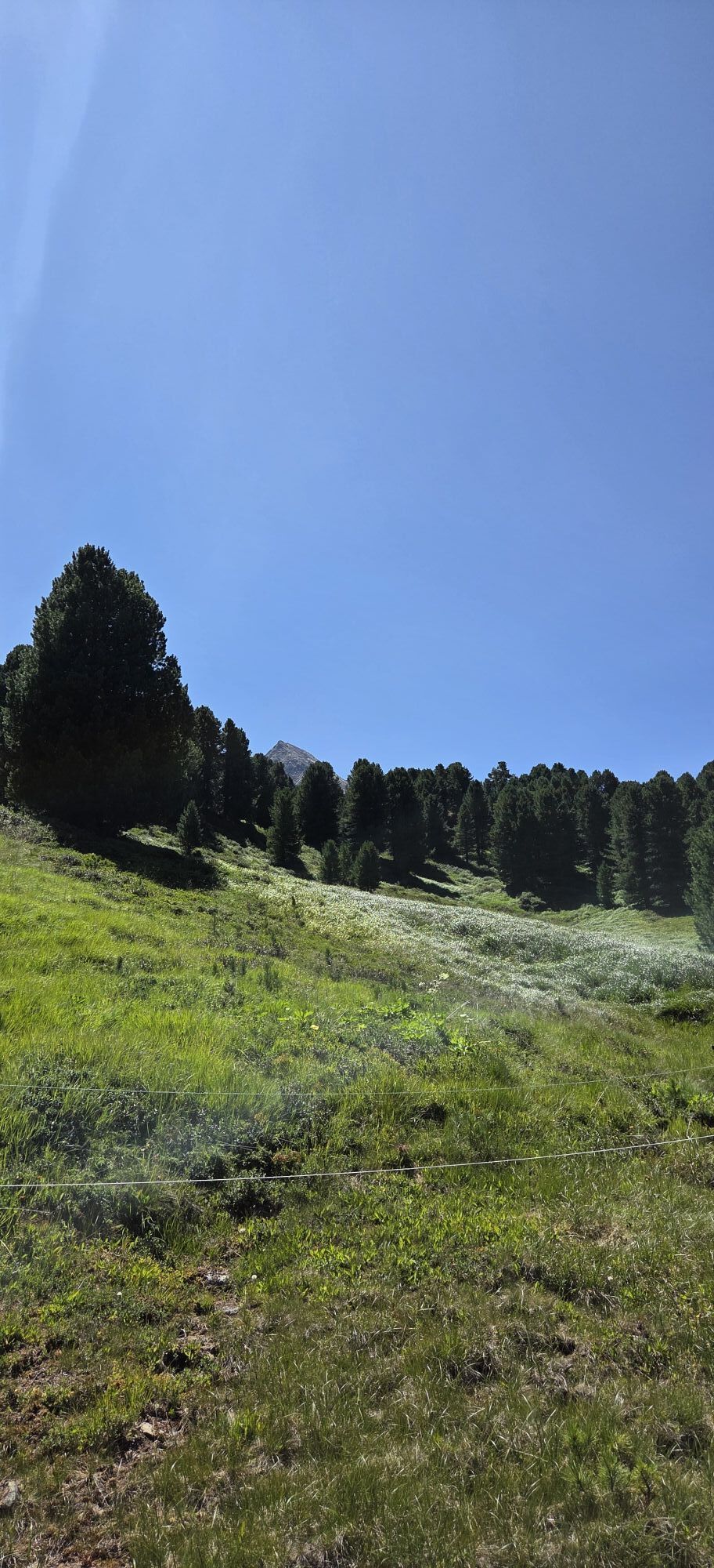
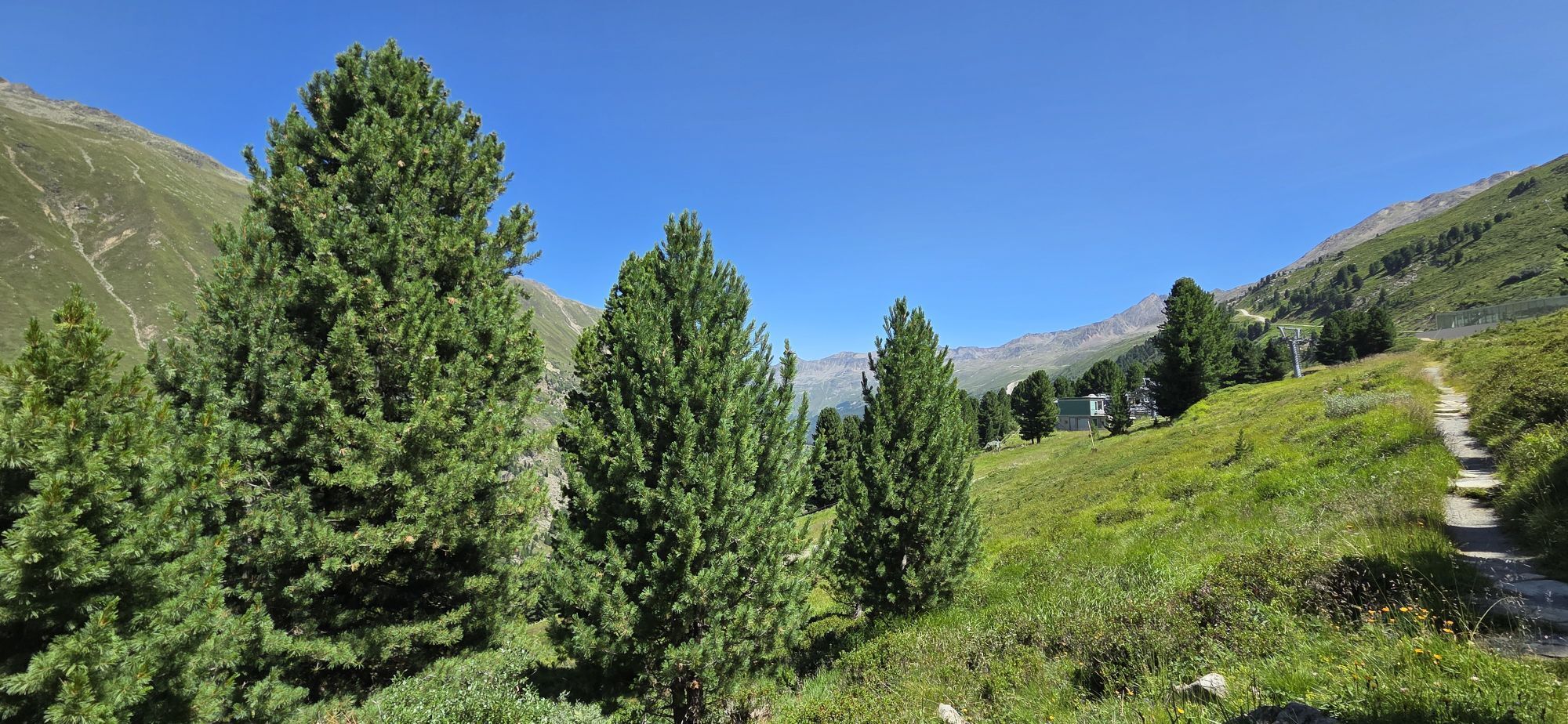
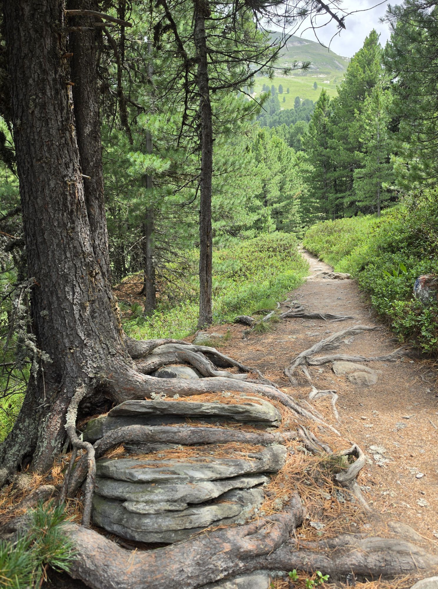
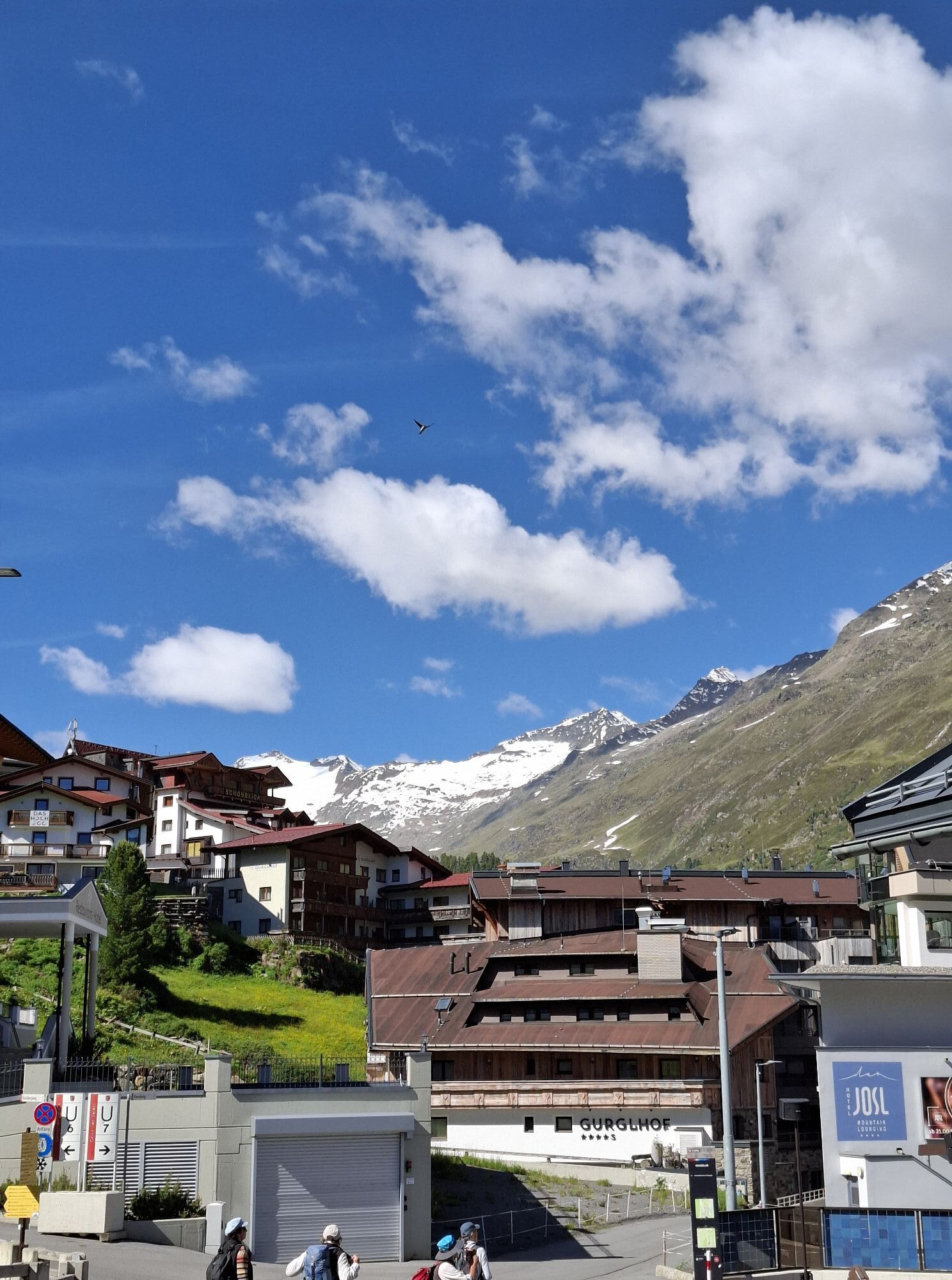

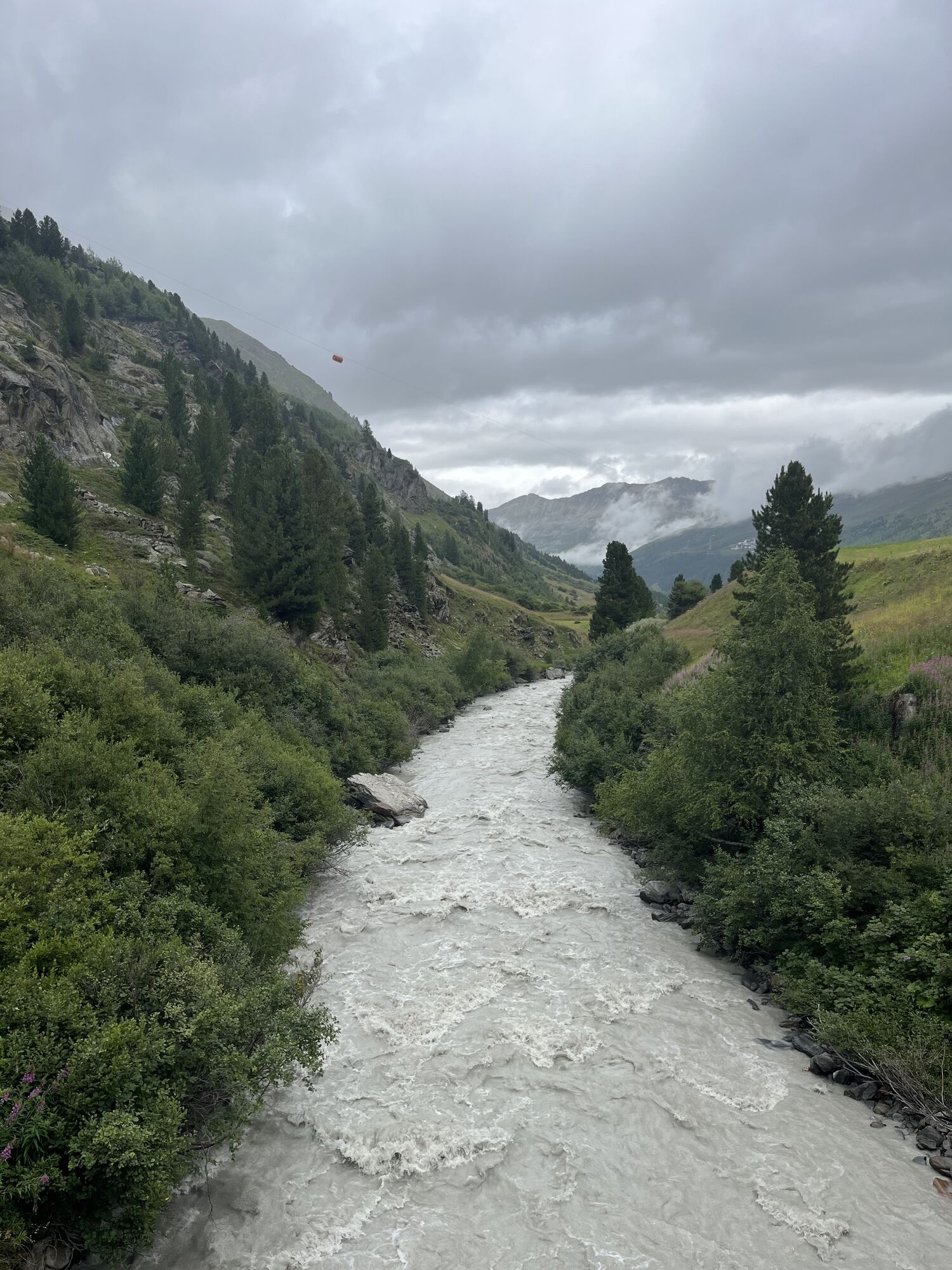
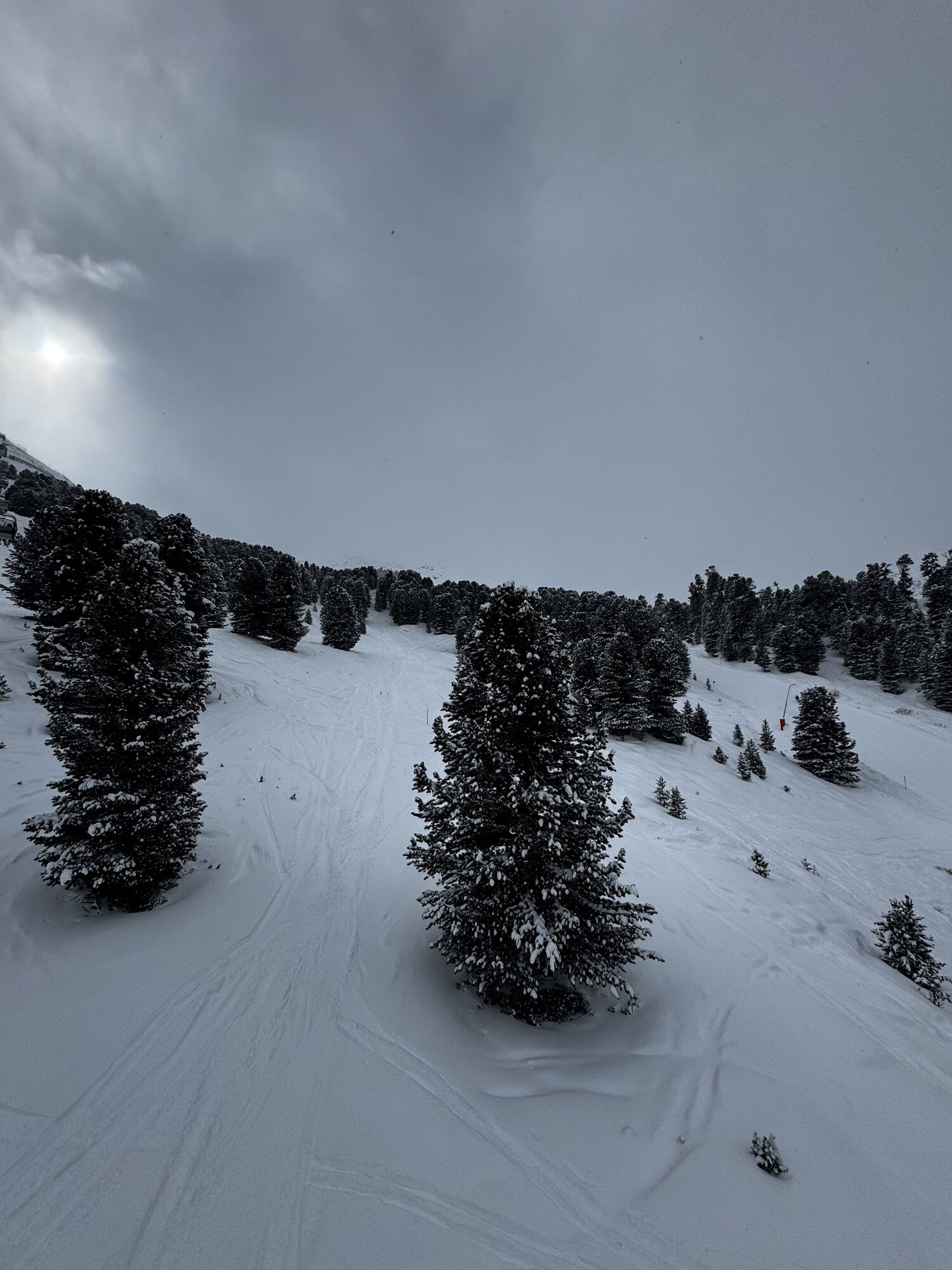
The trail leads from Obergurgl towards the pine forest. Passing the Zirben Alm, the trail ascends towards the Hohe Mut gondola II.

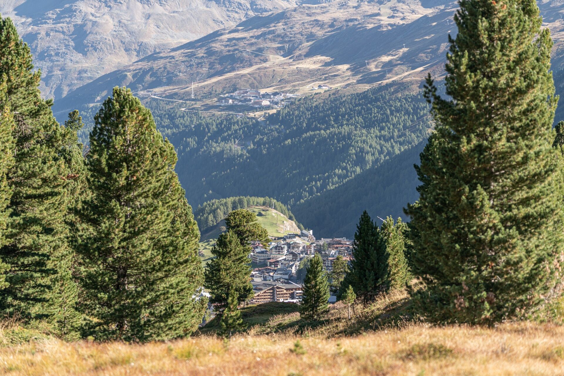
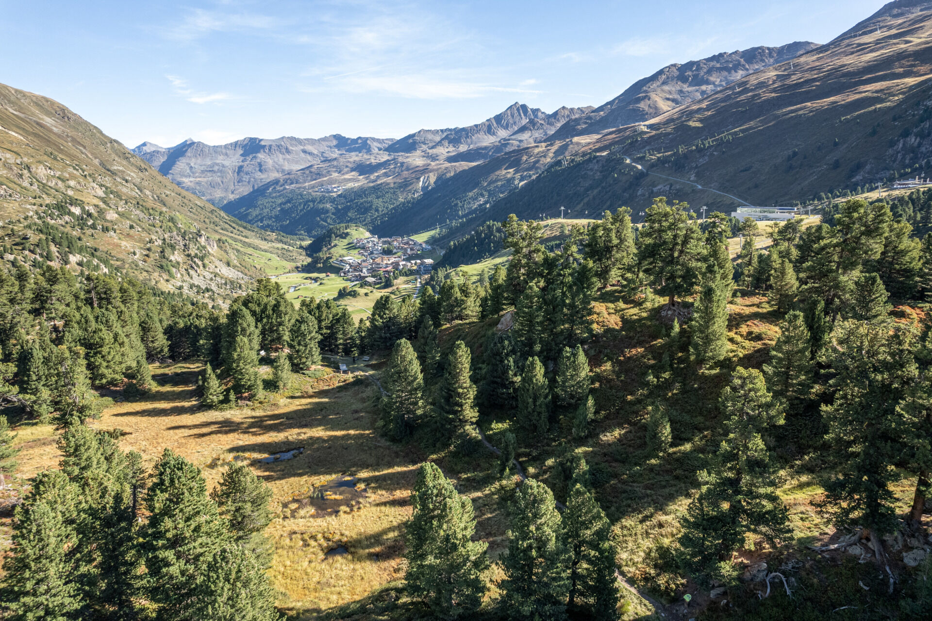

The trail leads from Obergurgl towards the pine forest. Passing the Zirben Alm, the trail ascends towards the Hohe Mut gondola II.
Appropriate equipment such as breathable and weather-appropriate outdoor clothing, ankle-high hiking shoes, wind, rain and sun protection, a hat, and possibly gloves, is required for all hikes and routes. It is necessary to bring a first aid kit, a mobile phone, and possibly a hiking map, as well as sufficient provisions for hikes without any stops for food.
Good physical condition, mountain experience, and mountain equipment (see equipment section) necessary. Please check the current weather report at: https://www.oetztal.com/de/sommer.html.
Driving into the ÖTZTAL. Located in Tyrol, the Ötztal branches off to the south as the longest side valley of the Eastern Alps. Traveling by car leads visitors via the Inn valley to the entrance of the valley and further along the Ötztal. In addition to the toll motorway, country roads can also be used. Your route can be quickly and conveniently planned with the route planner: Route planner: www.google.at/maps.
Travel comfortably and safely by train to the Ötztal train station. The final stop or exit point is the ÖTZTAL station. Afterwards, you can easily and quickly continue by public transport or local taxi companies through the entire valley to your desired destination! The current bus schedule is available at: fahrplan.vvt.at
The following parking options are available in Gurgl:
Parking garage village center Obergurgl (go down right in front of the church), paid | € 2.00 first hour, for every additional 1/2 hour € 1.00 up until max. € 16.00 for 24 hours
Parking garage village entrance – Festkoglbahn valley station, paid | € 6.00 from 8:00 am to 8:00 pm, € 10.00 from 8:00 pm to 8:00 am
Parking lot Hochgurglbahn valley station, free – no overnight parking
Parking lot Top Mountain Crosspoint, free
T2
More information about hiking in the Ötztal: www.oetztal.com/wandern
Uzyskaj wgląd
Zawsze na żywo z ponad 9 500 kamer internetowych. bergfex Jako użytkownik Pro, możesz teraz zobaczyć odpowiednie kamery internetowe dla wielu wycieczek w aplikacji wycieczki od. Pozwala to na bezpośredni podgląd aktualnych warunków.

Popularne wycieczki w okolicy
-
4,7
Vent - Kreuzspitze
Wędrówka 20,6 km -
4,2
Vorderkaser - Eishof / Texelgruppe
światłoWędrówka 4,83 km -
4,5
Vent - Wilder Mann - Breslauer Hütte - Stableinalm
średniWędrówka 7,25 km -
4,6
Passerschlucht
światłoWędrówka 8,84 km -
4,4
Passerschlucht mit Stieber Wasserfällen, Trentino-Südtirol/Italien
średniWędrówka 9,49 km -
3,8
Breslauer Hut
średniWędrówka 4,75 km -
4,4
Hochtour Wildspitze, 3.768m
średniWycieczka wysokogórska 9,75 km -
4,6
Hochwilde - Pfelders
średniWycieczka wysokogórska 22,1 km -
3,4
Tiefenbachglacier - Mountaineering Village Vent
średniWędrówka 10,8 km -
4,9
Pfossental - vom Vorderkaser auf die Stettinerhütte
średniWędrówka 23,7 km

Wędrówki i tropienie


Nie przegap ofert i inspiracji na następne wakacje
Twój adres e-mail została dodana do listy mailingowej.





