







Up to Hinteres Sonnwendjoch
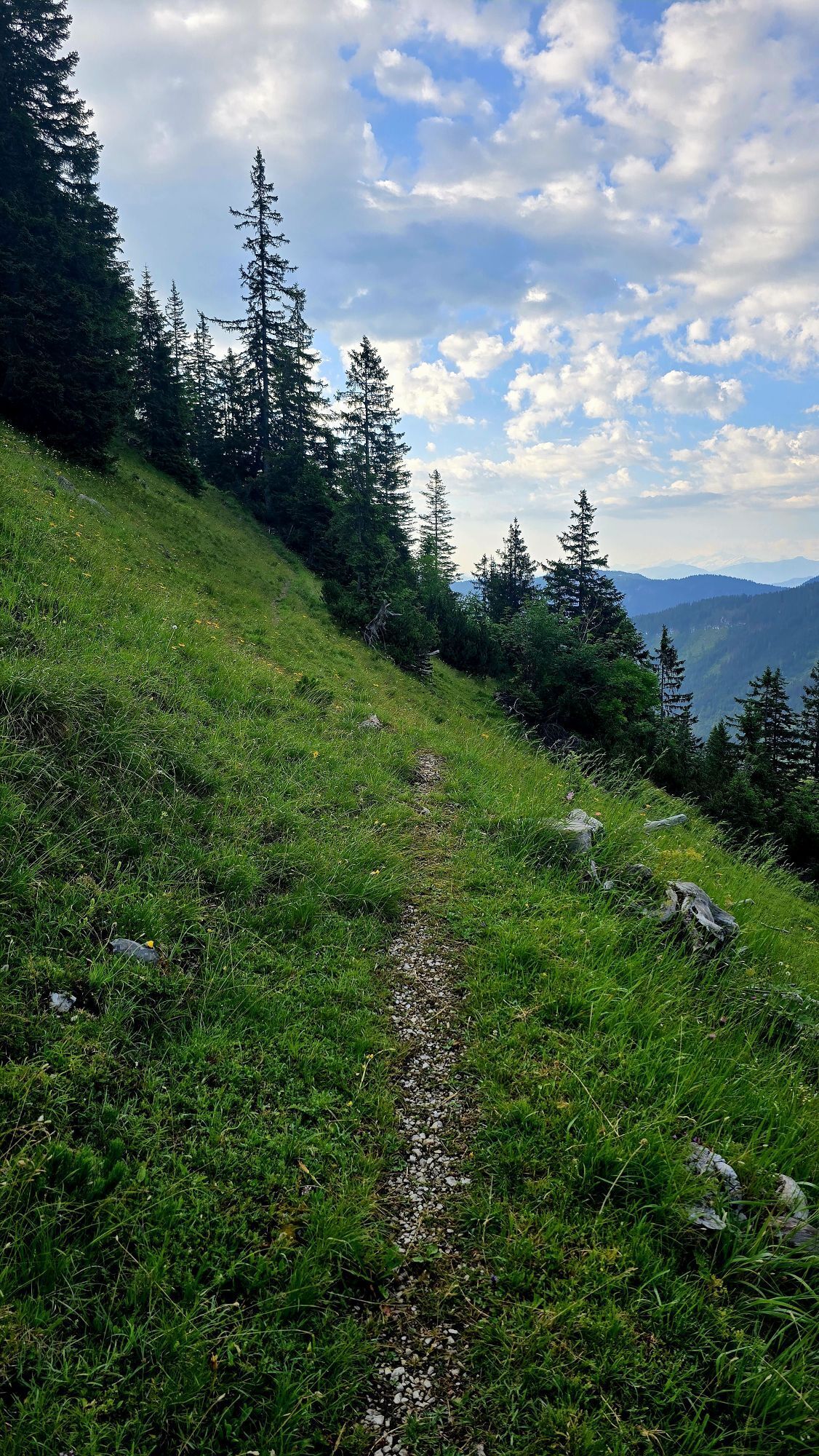
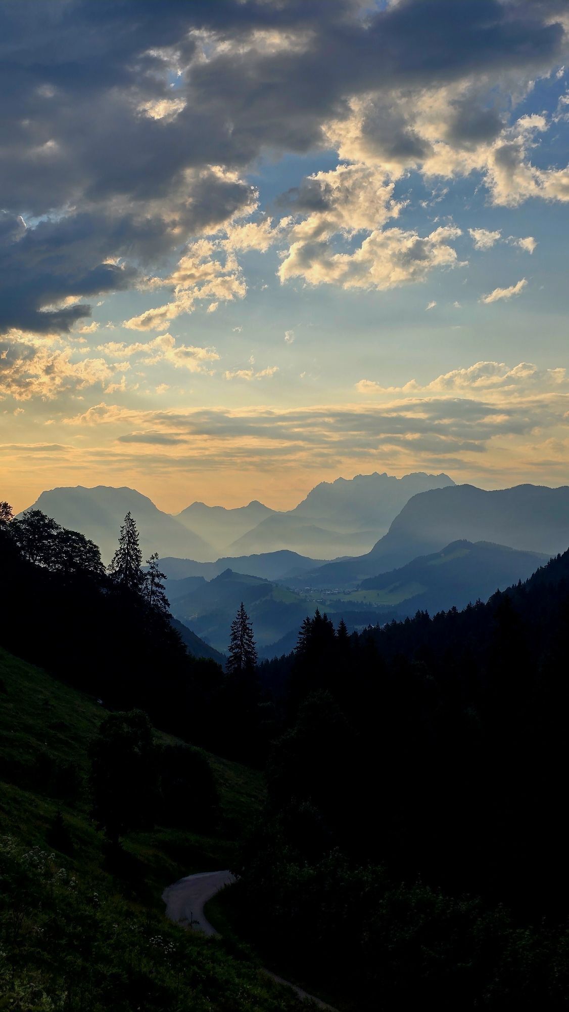
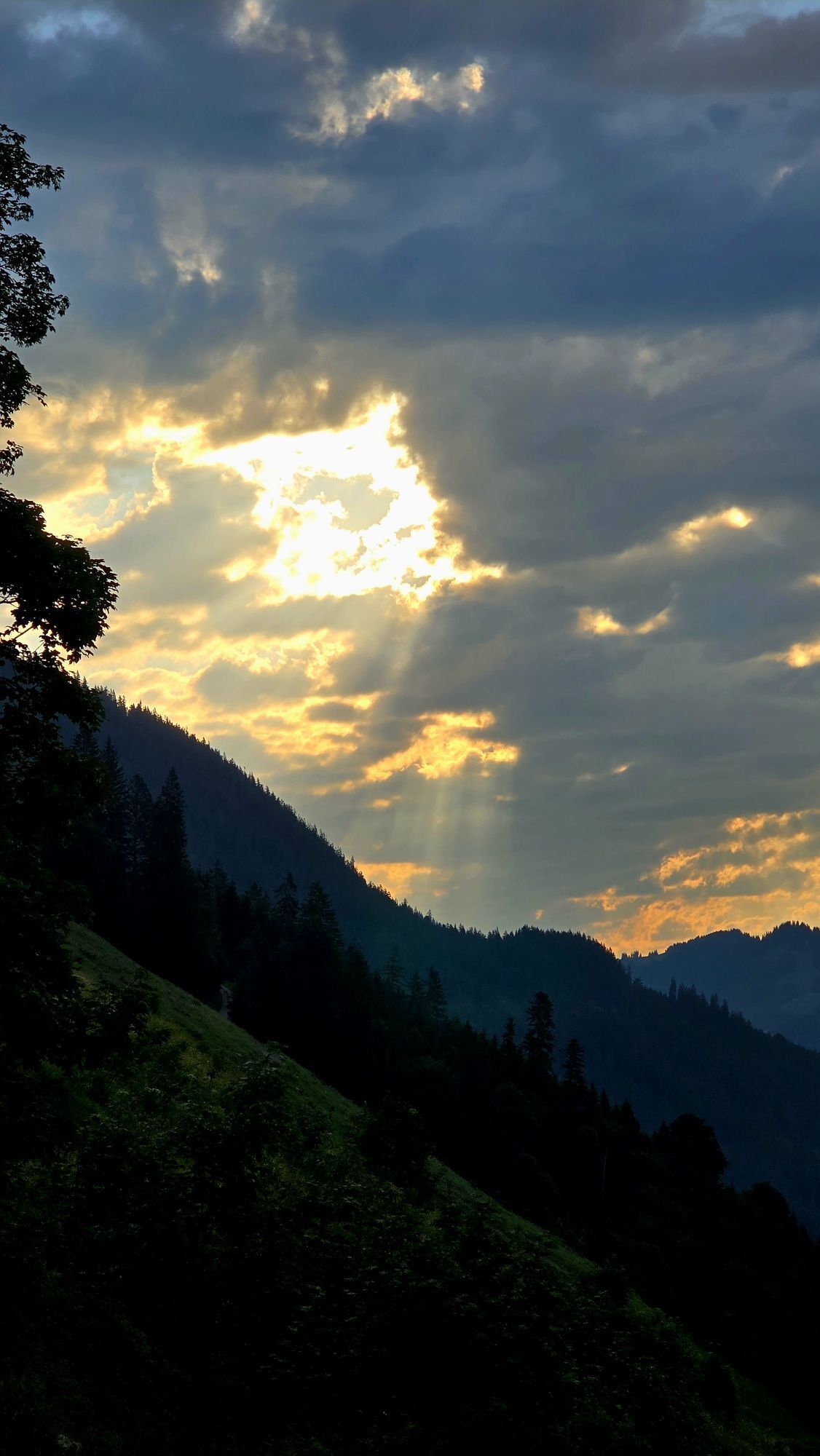
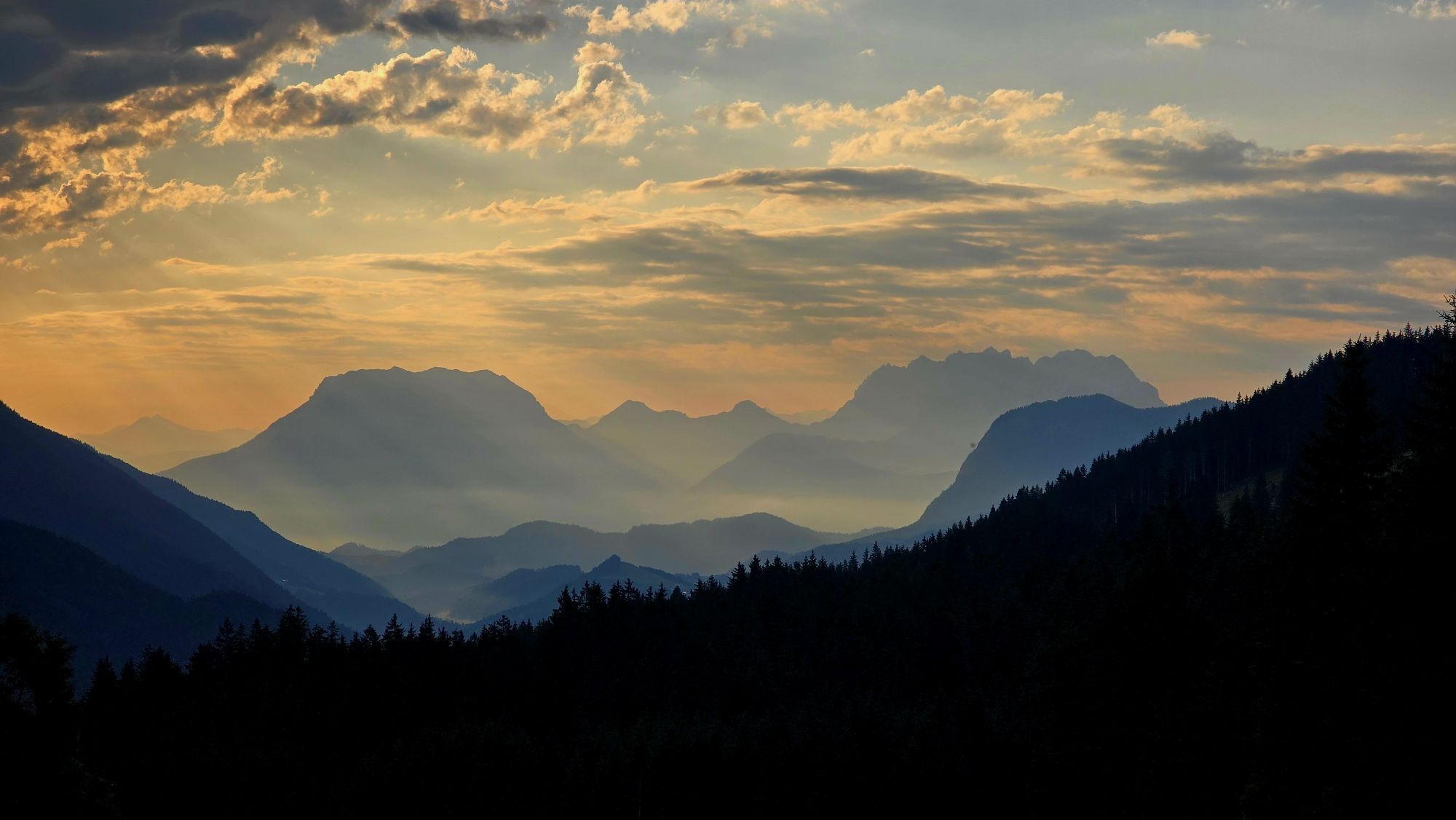
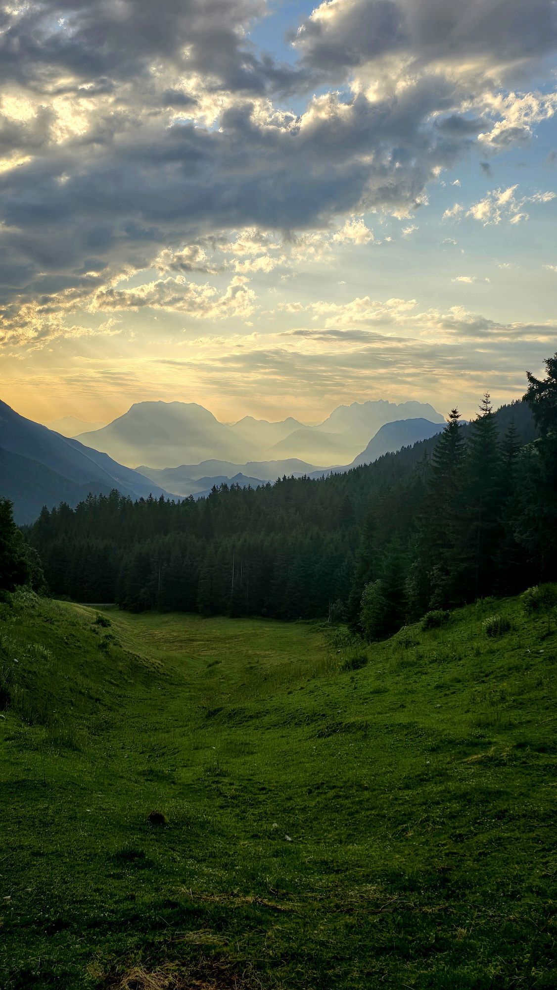
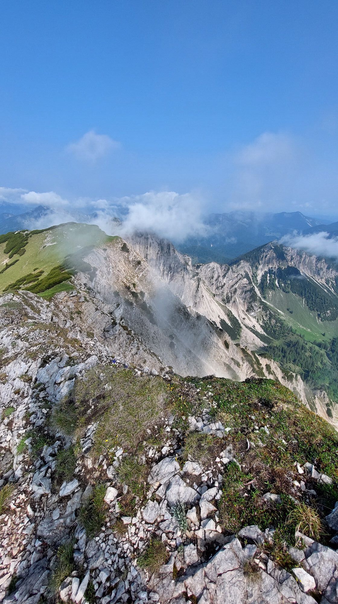
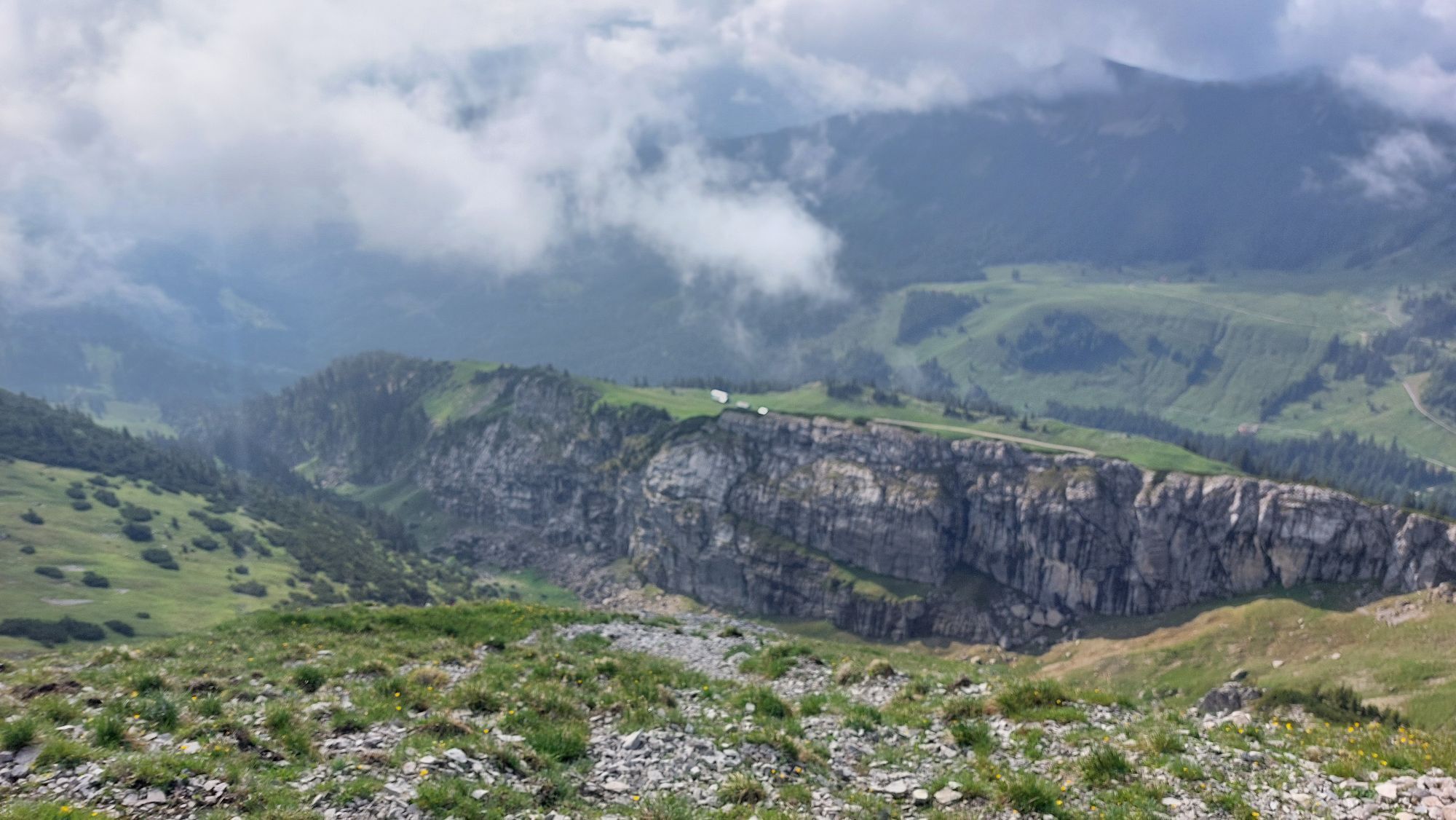
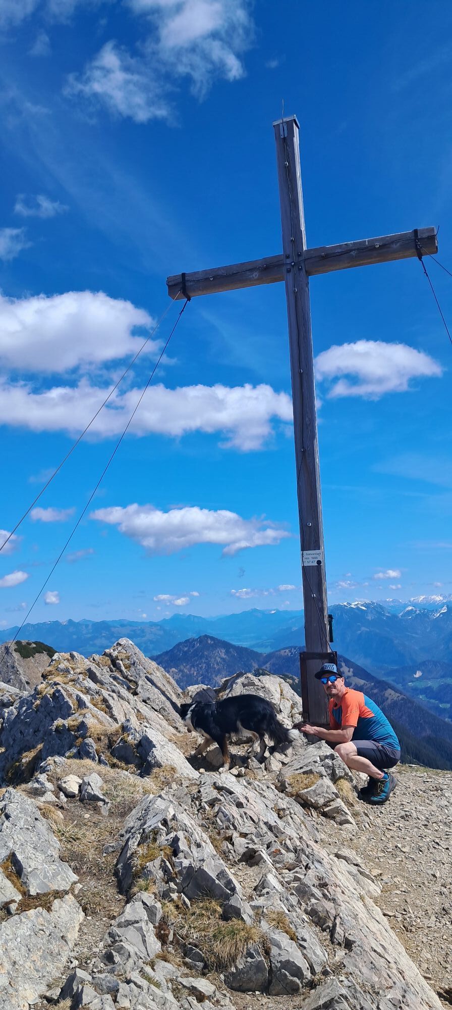
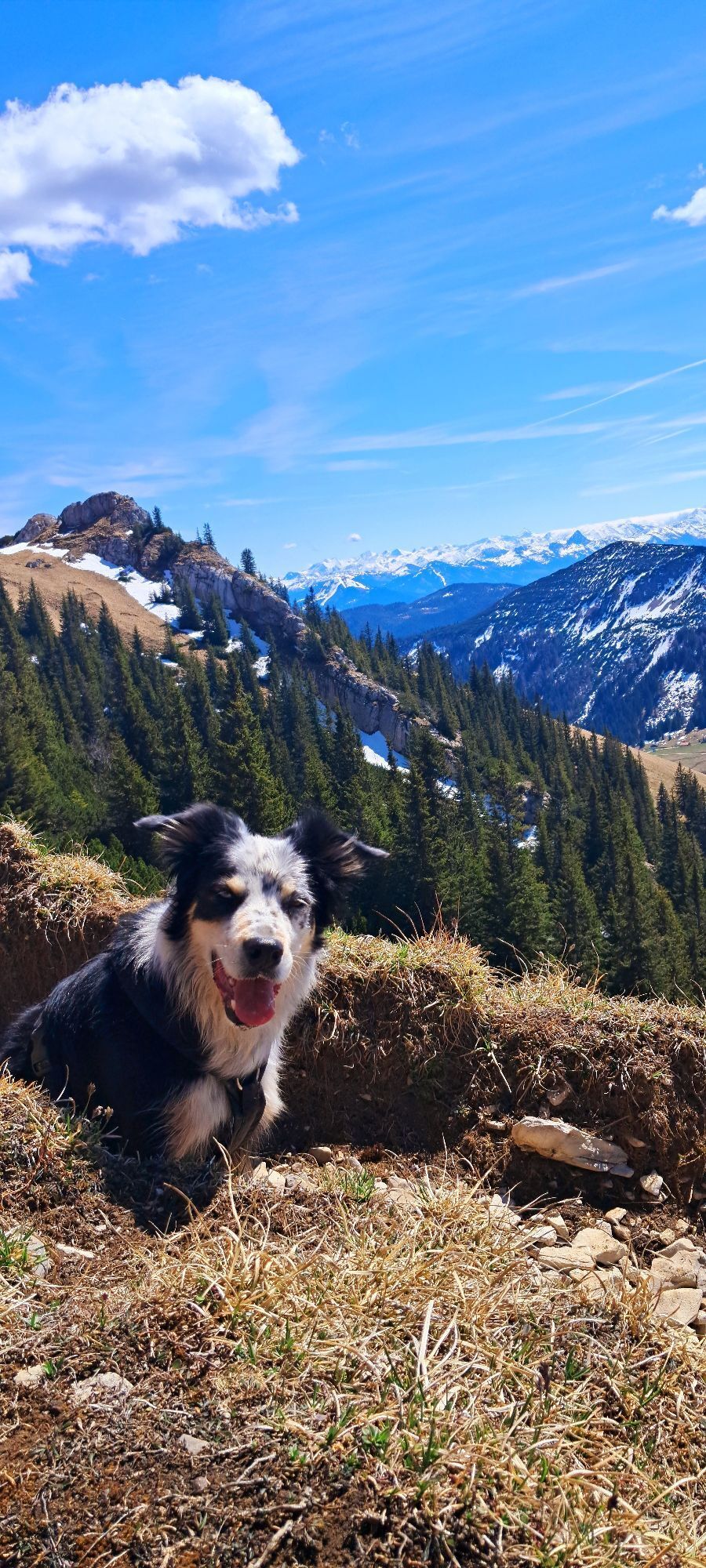
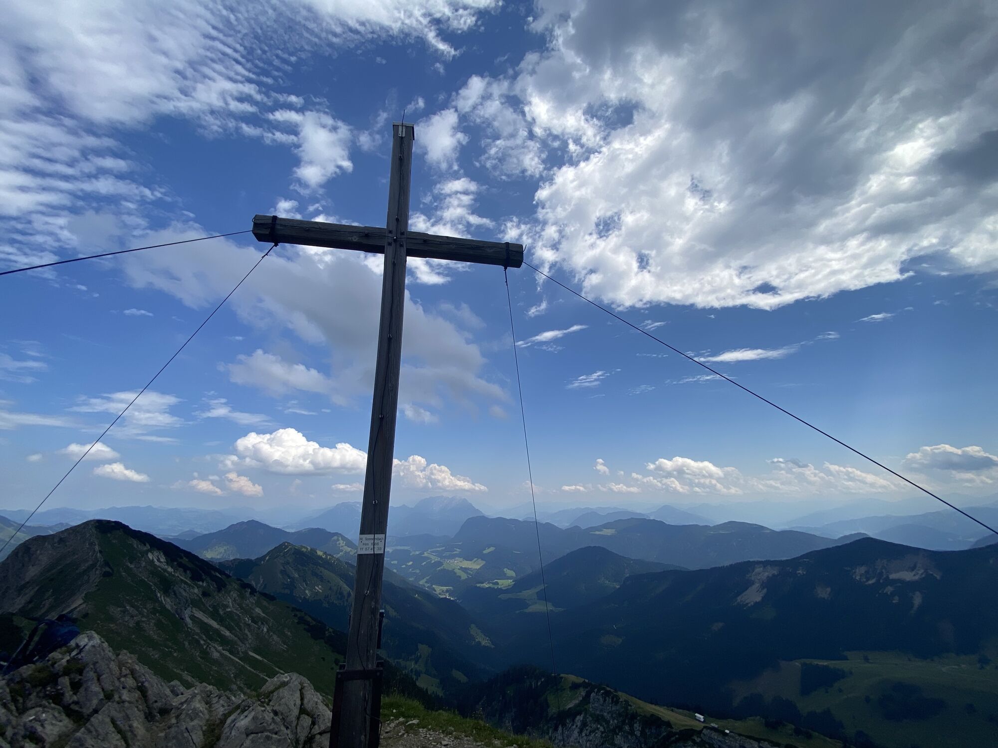
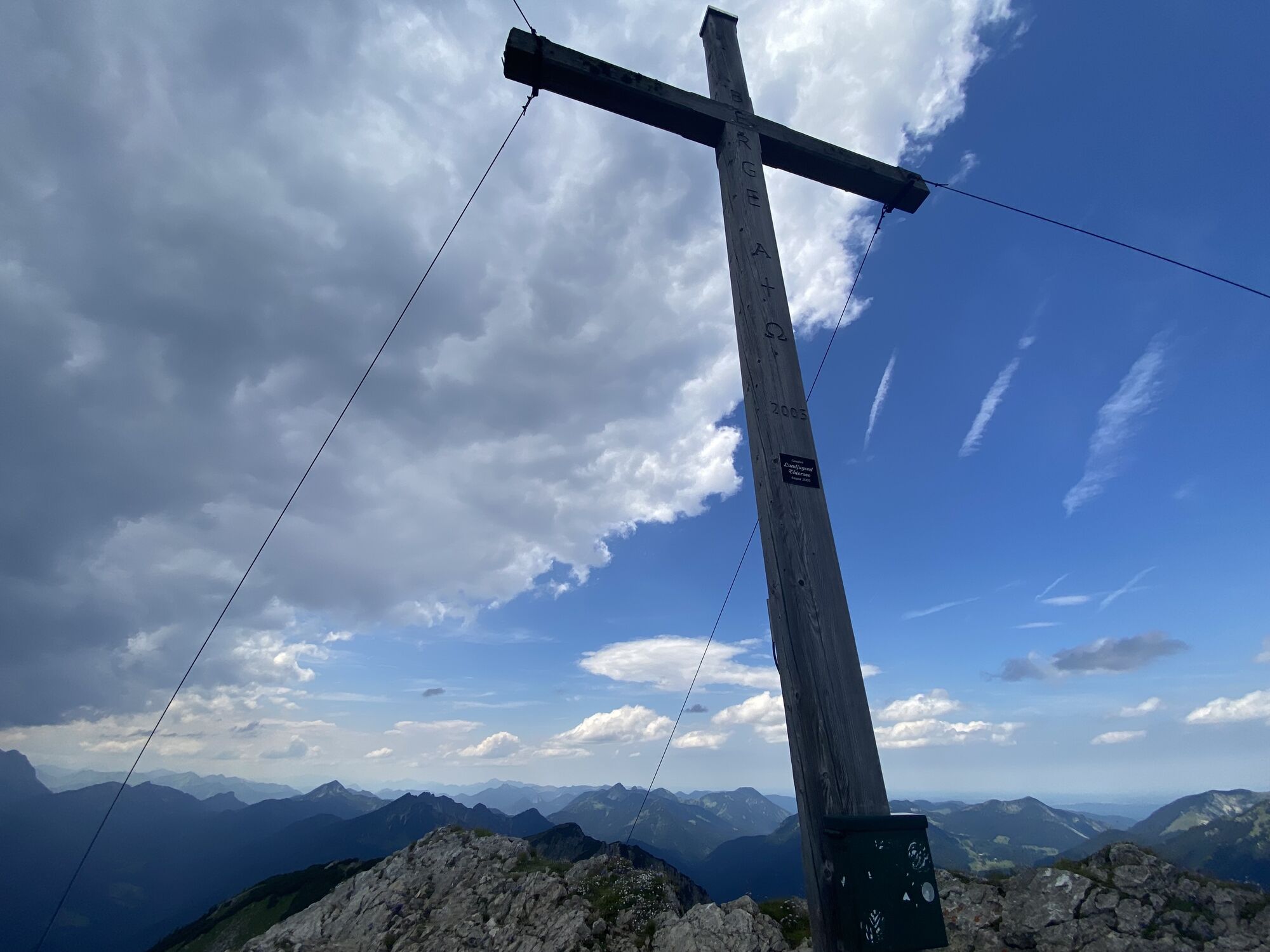
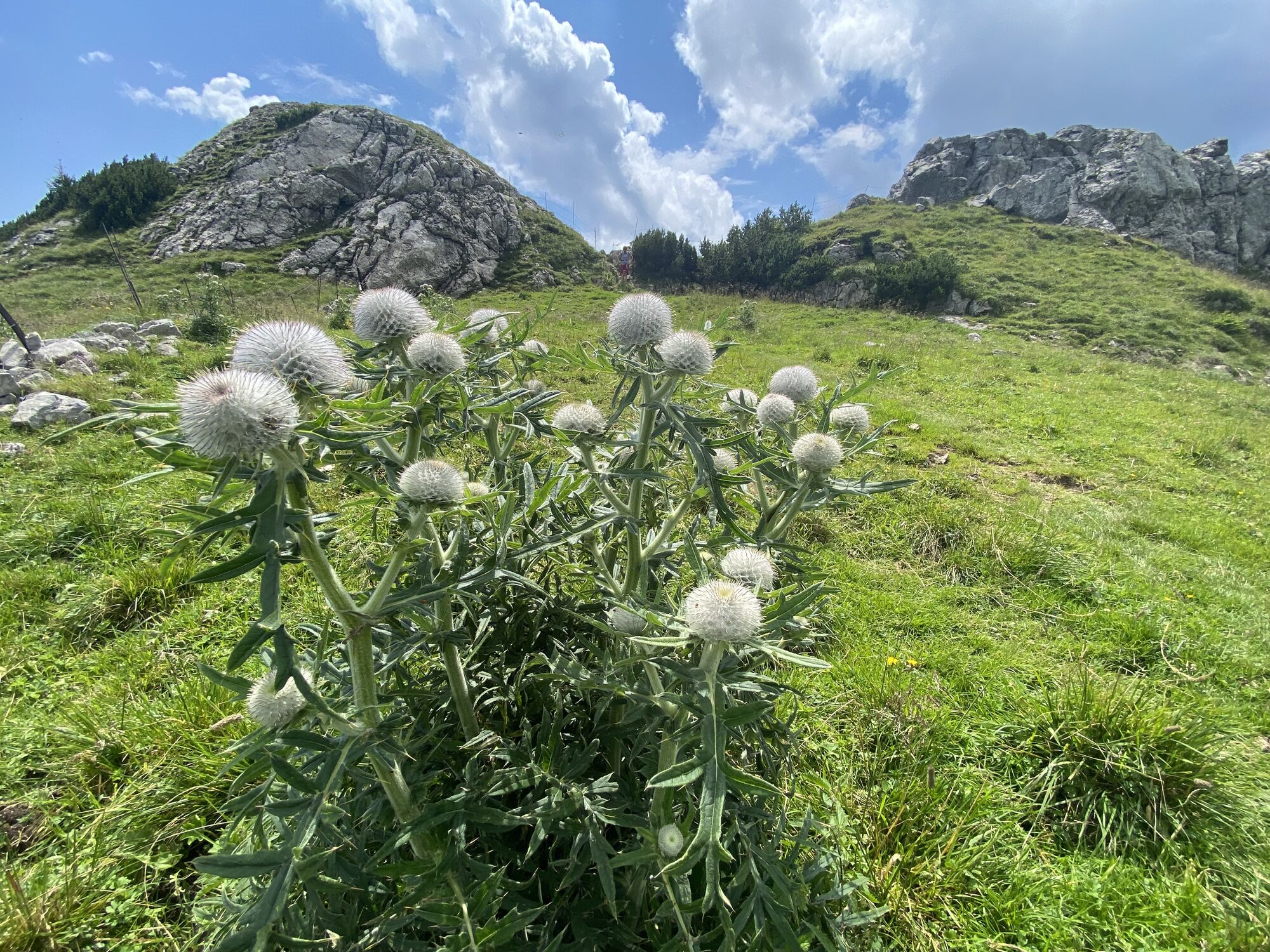
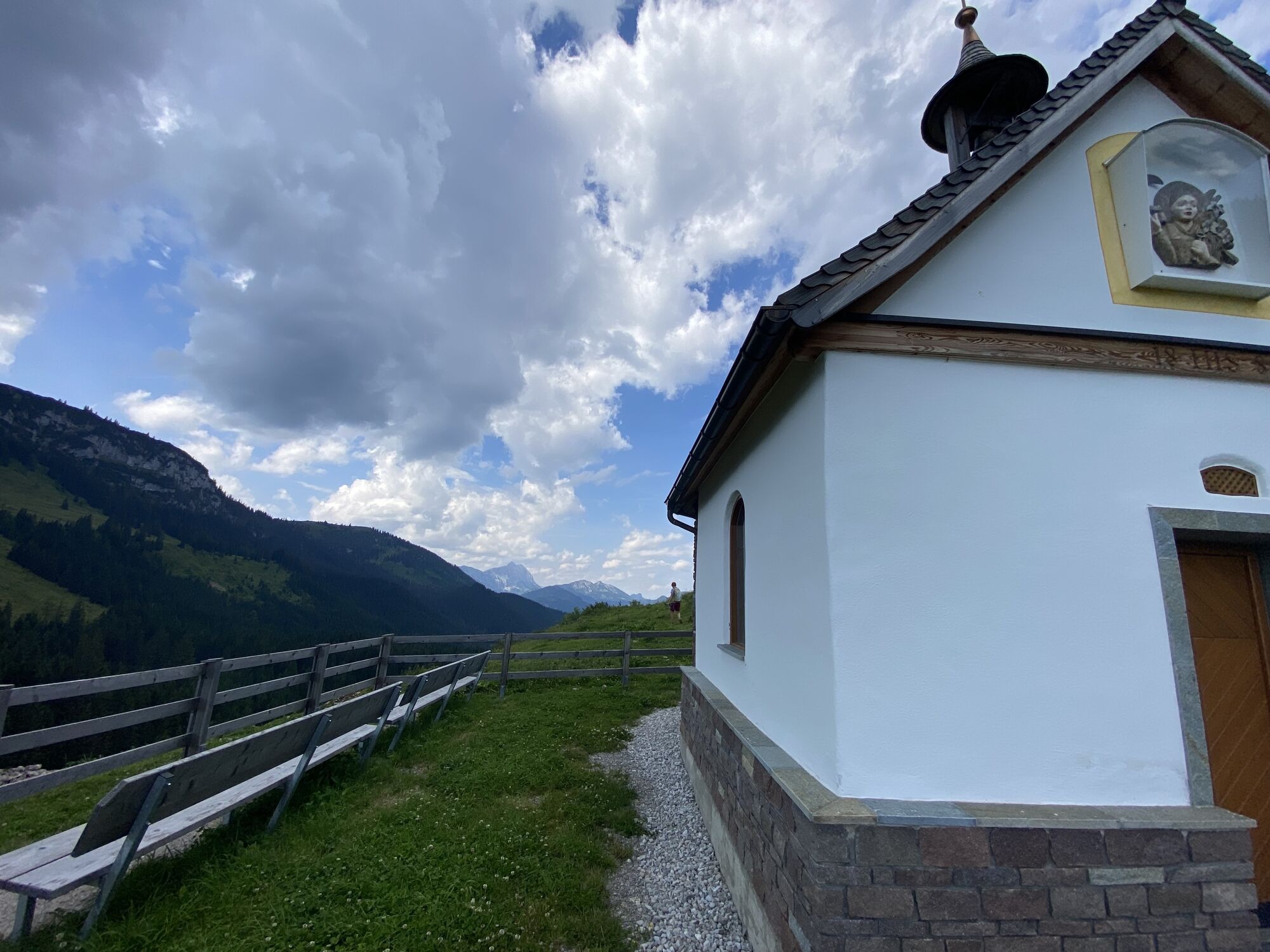
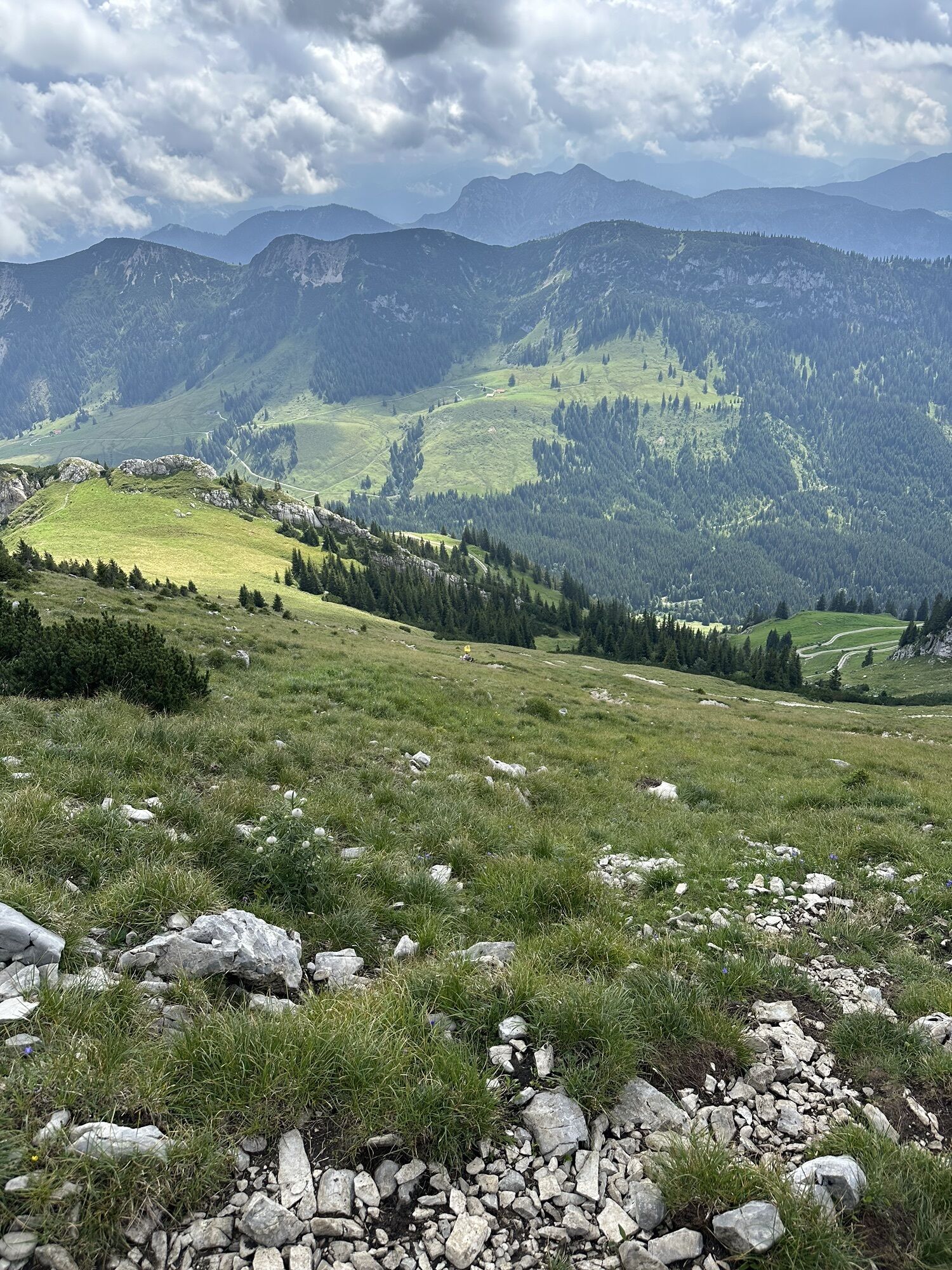
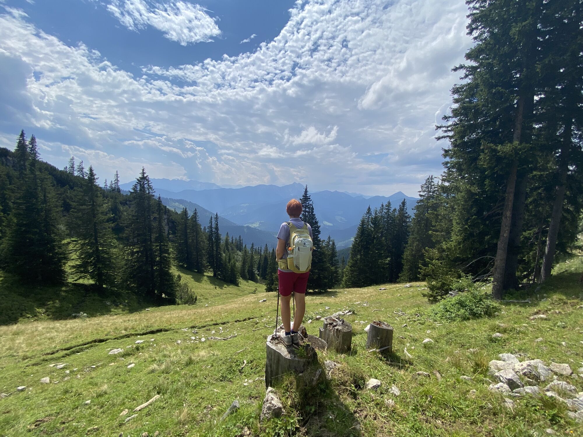
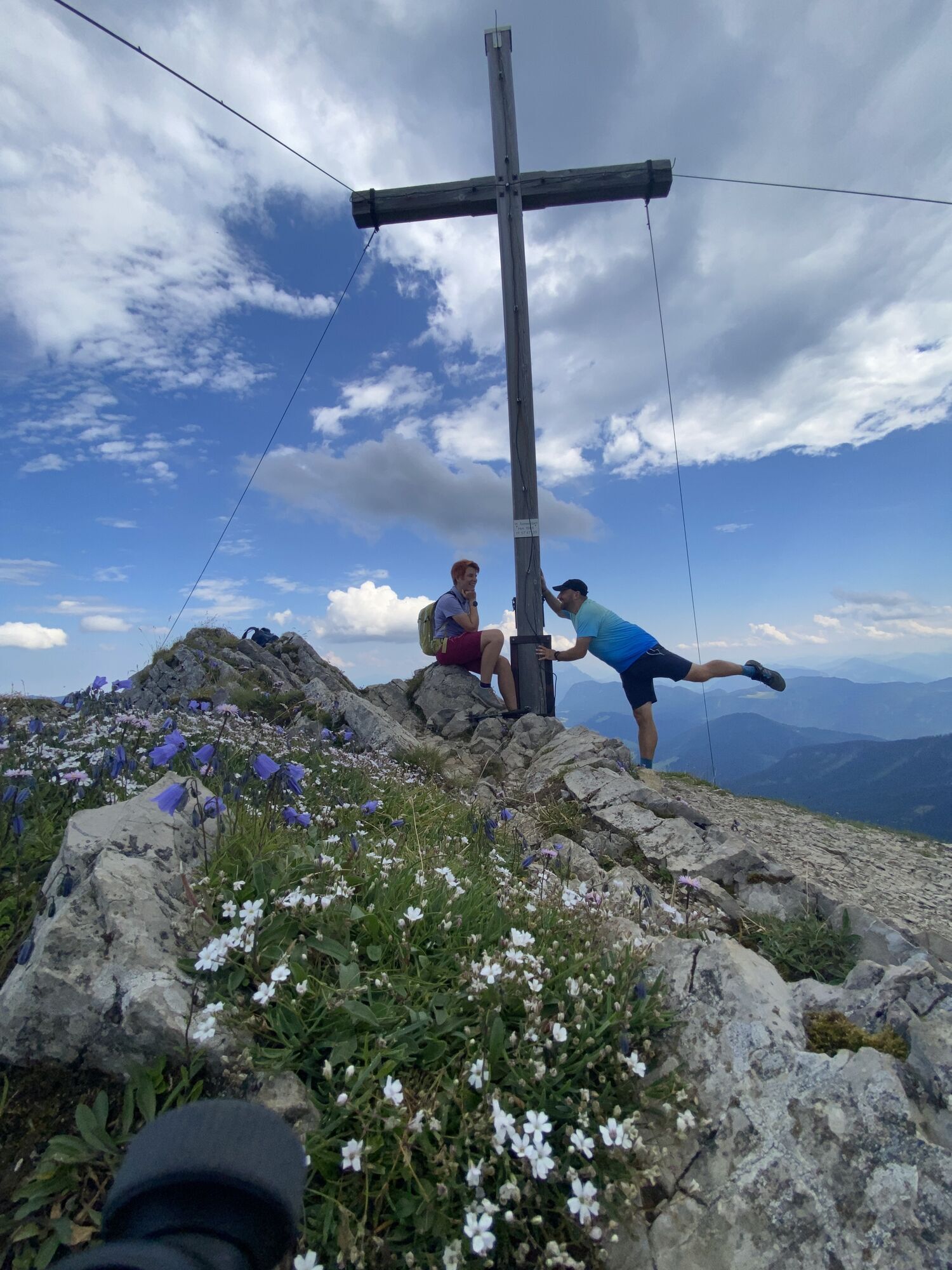
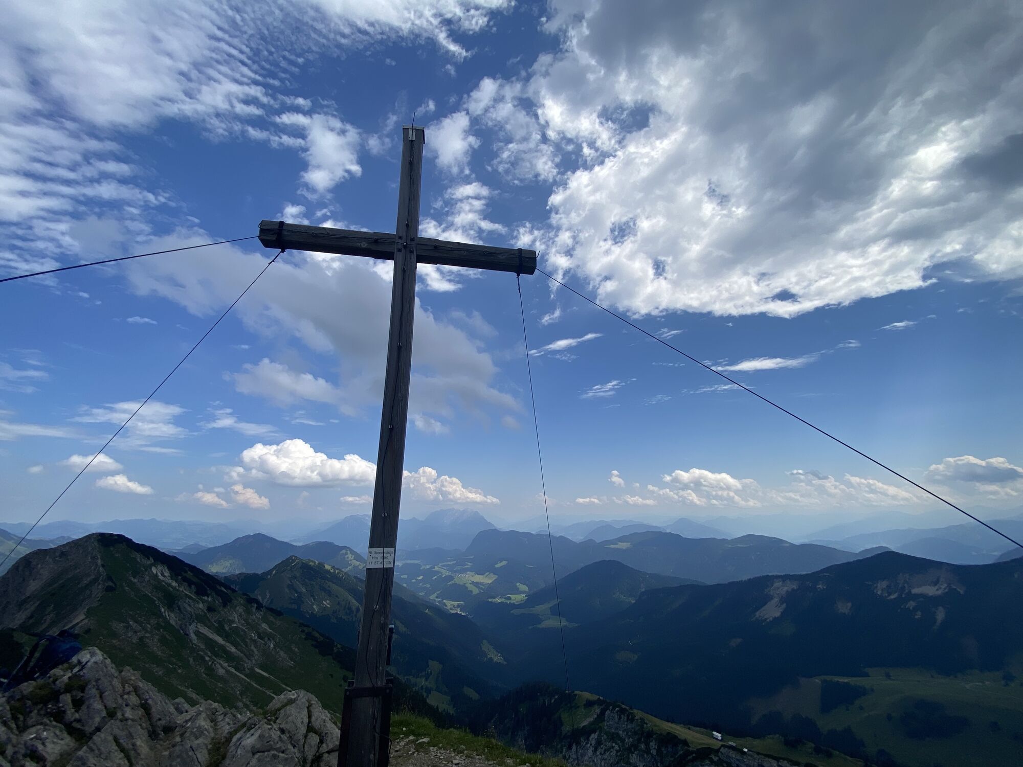
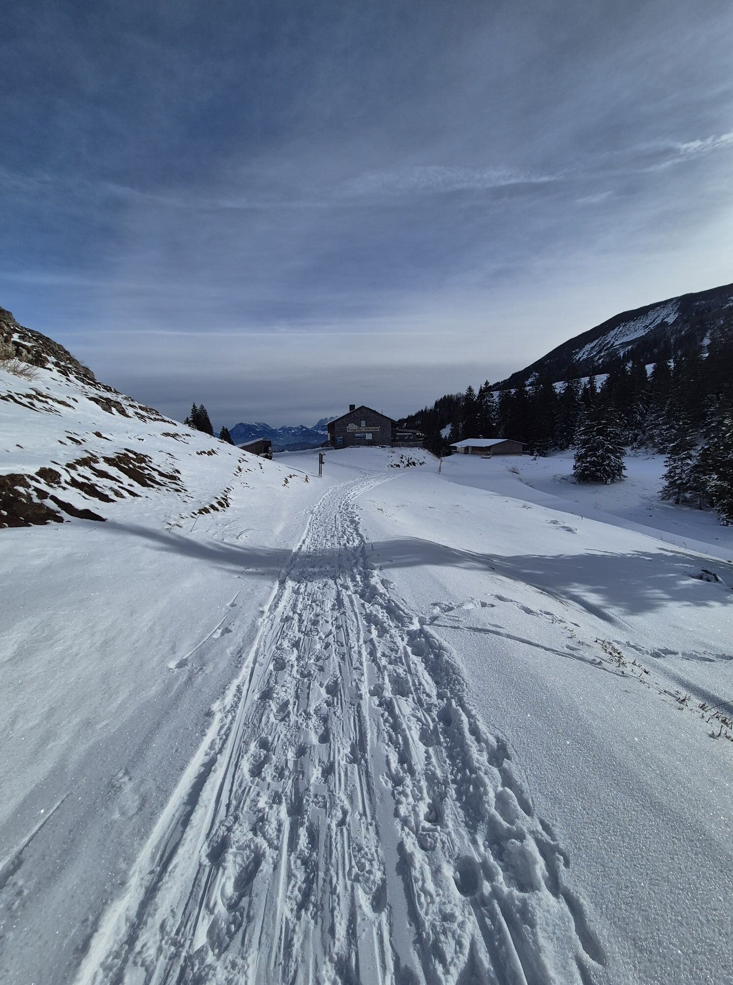
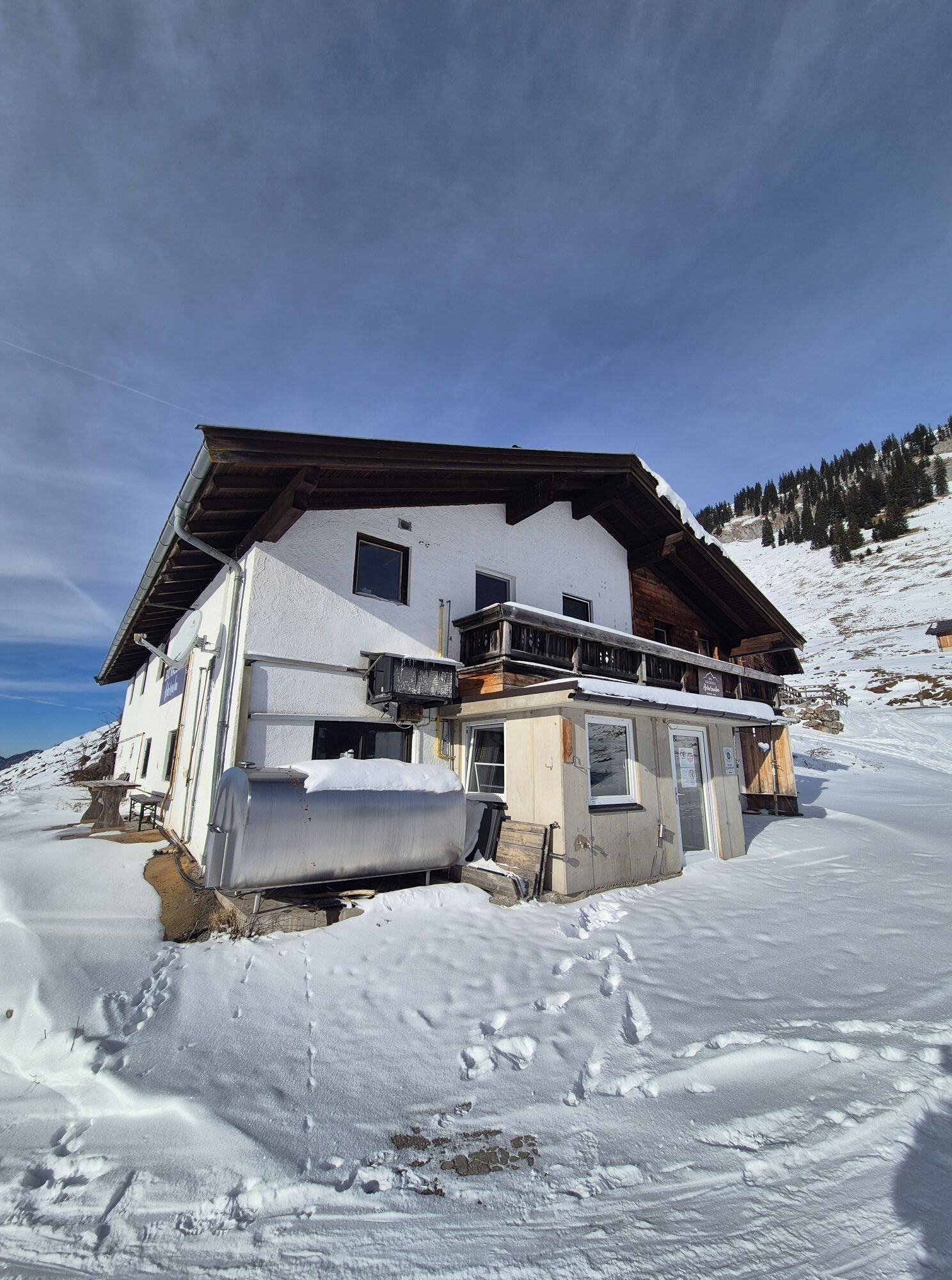
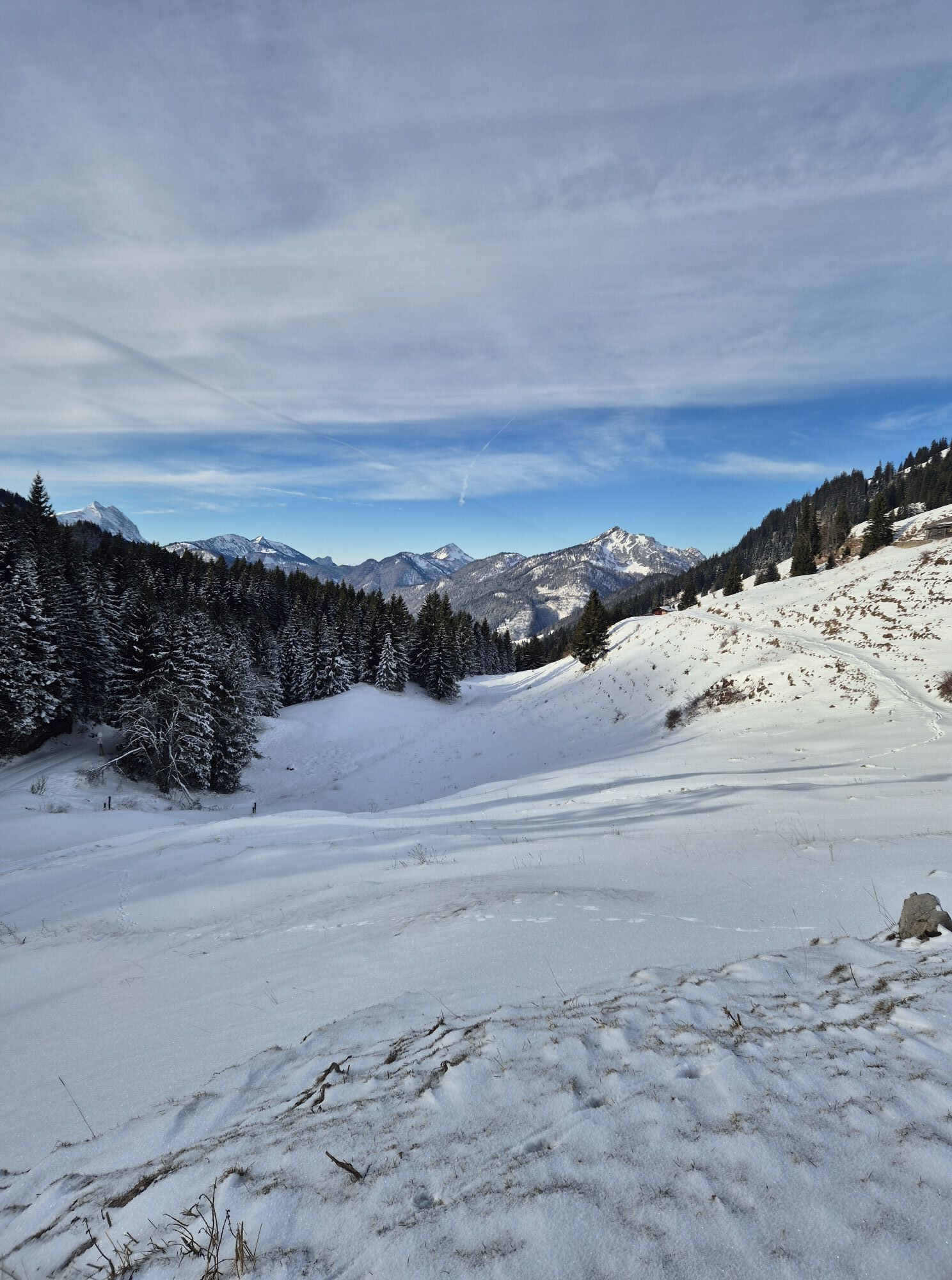
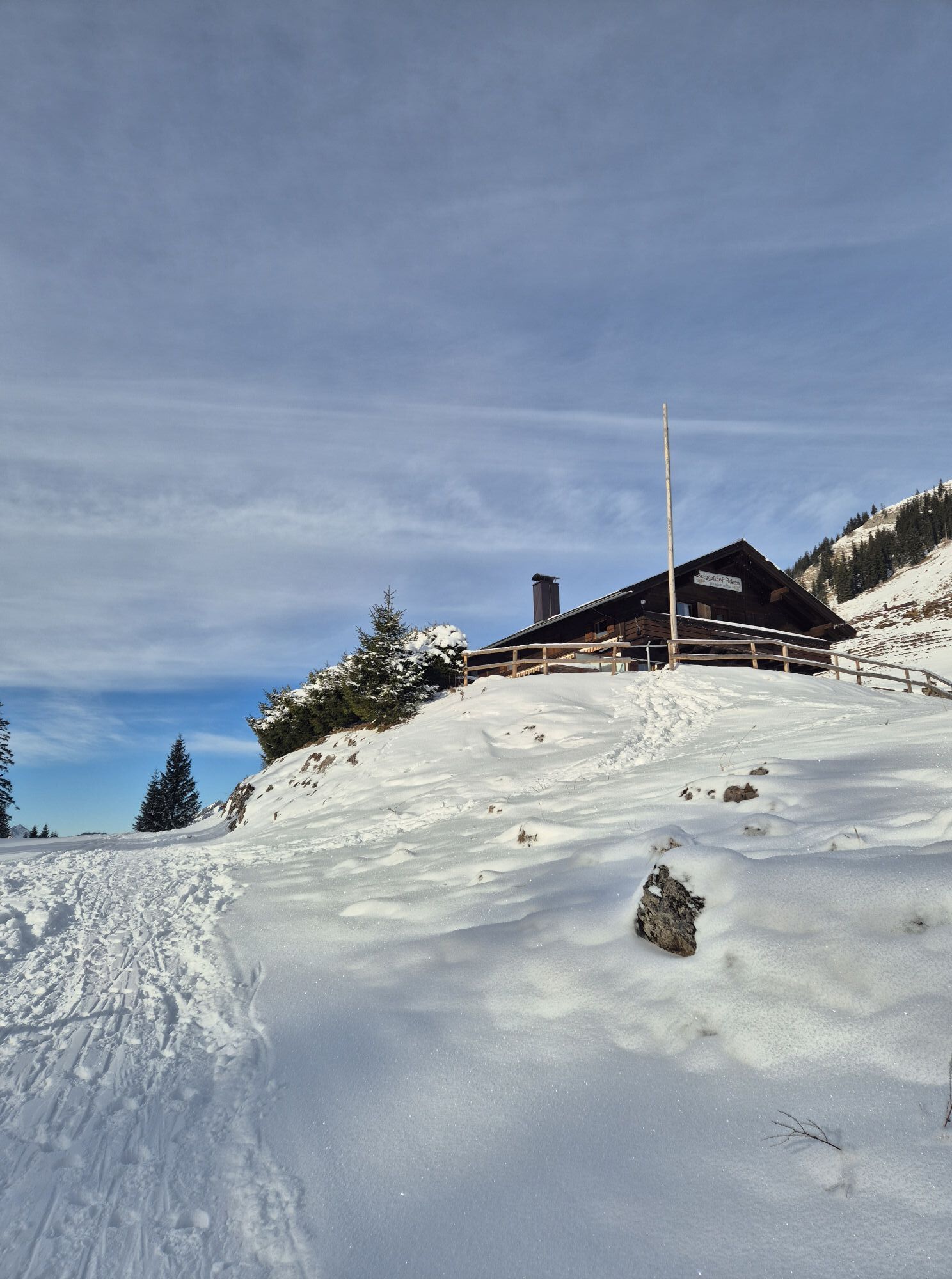
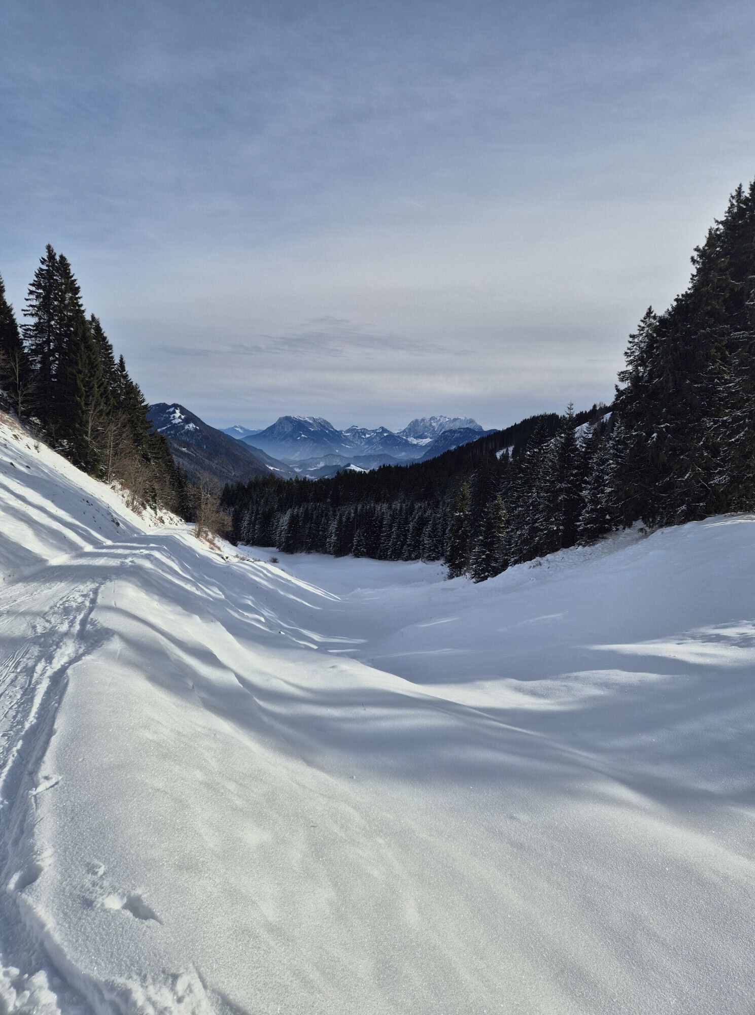
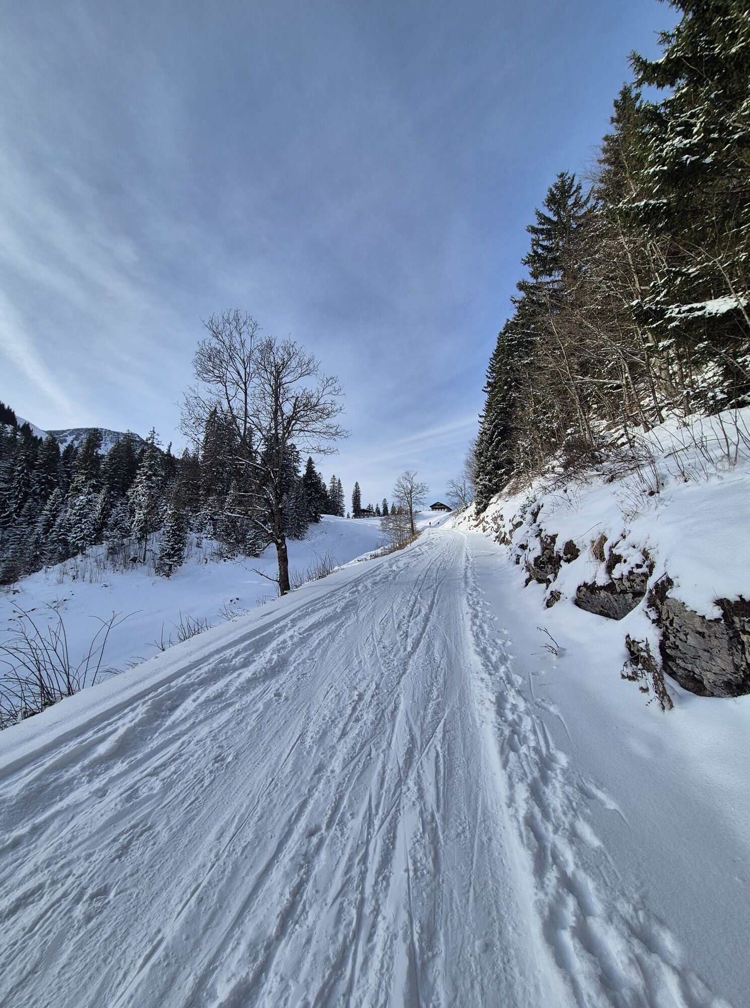
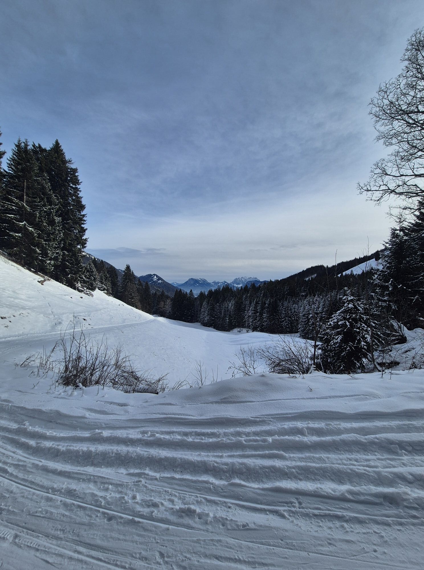
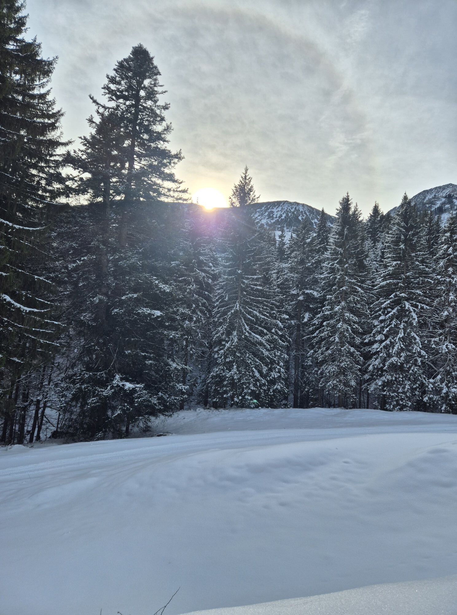
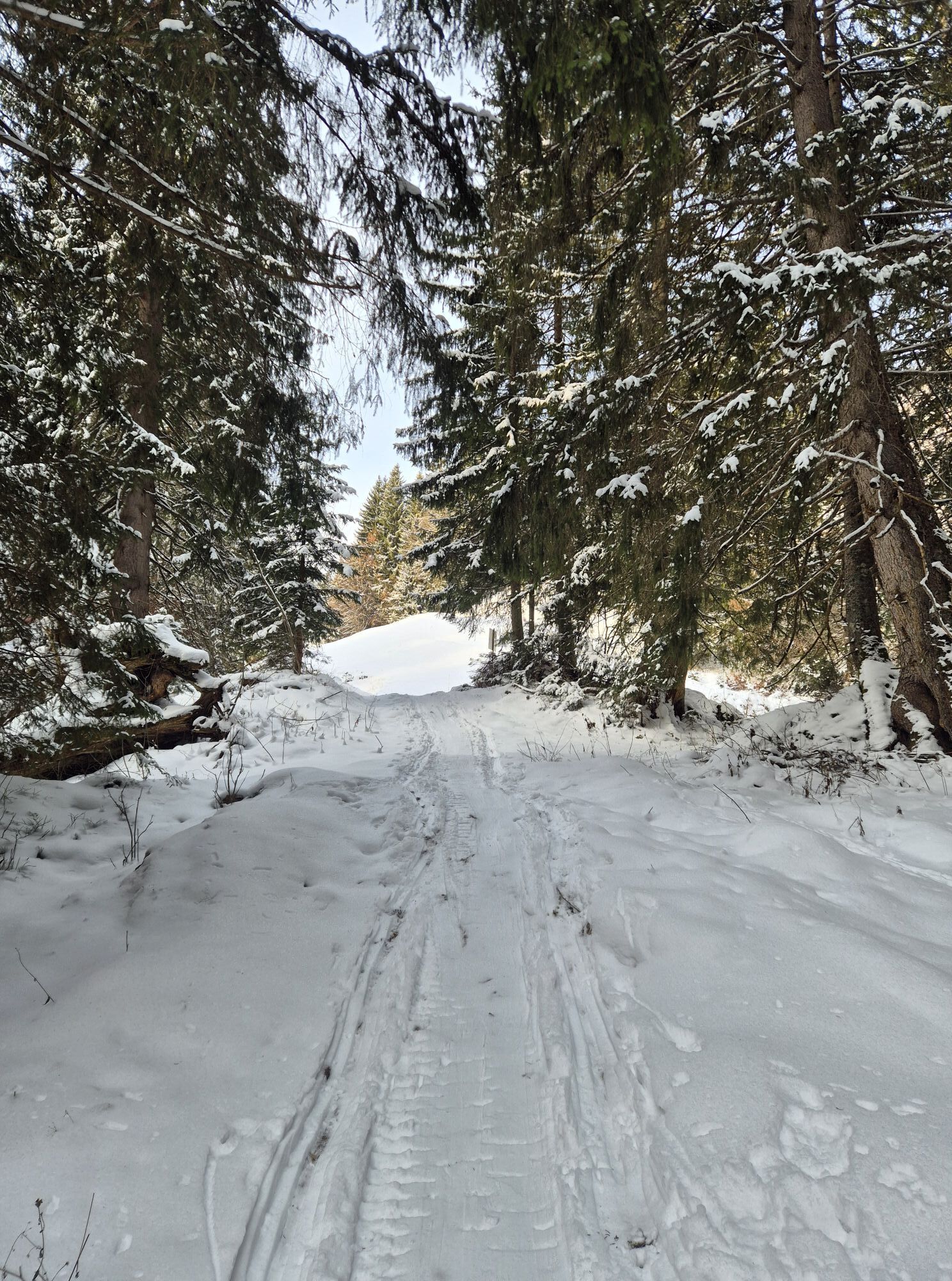
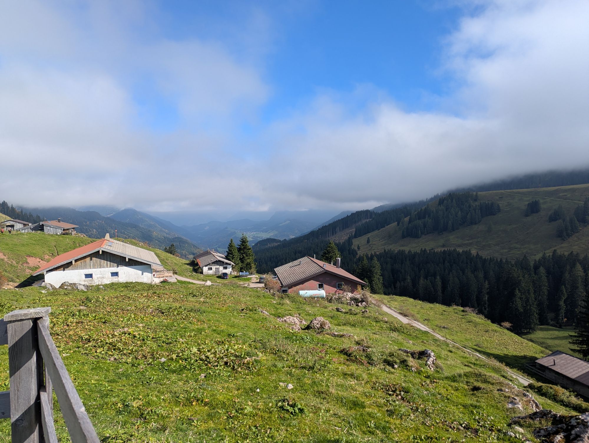
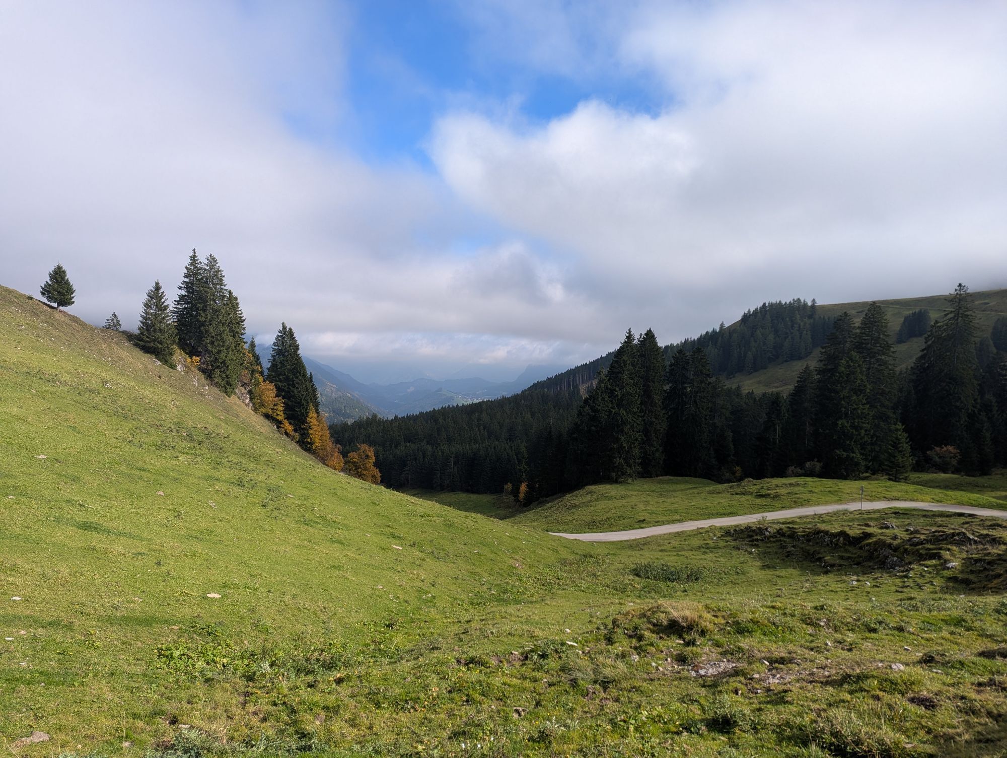
This panoramic round tour leads from Tyrol's highest alpine cheese dairy via the Wildenkaralm to the summit of the Hinteren Sonnwendjoch at almost 2000m. With luck you can see as far as the Hohe Tauern....
This panoramic round tour leads from Tyrol's highest alpine cheese dairy via the Wildenkaralm to the summit of the Hinteren Sonnwendjoch at almost 2000m. With luck you can see as far as the Hohe Tauern. The way back leads over the Bärenbadalm back to the Almkäserei Ackernalm.
From the alpine cheese dairy or the mountain inn Ackernalm we start eastwards following the road we came across. After about 1 km the path branches off to the left. After a moderate ascent along a forest path you reach the Wildenkaralm. From there on you follow the hiking trail steadily uphill. At the next fork in the trail, take the path on the right up to Hinterer Sonnwendjoch. Once you have reached the summit, you can enjoy the wonderful panoramic view, with a bit of luck as far as the Hohe Tauern. Continue along the same path for a while, but keep right at the first fork. Follow this path in the direction of the Bärenbadalm and from there take the path down to the Ackernalm. There you can enjoy a good snack with the best cheese from the show dairy.

Snacks (e.g. fruit, muesli bars, wholemeal breads) and drinks (allow for sufficient liquid)
First aid equipment
Mobile phone with full battery
Hiking map and guide literature
Sun protection (sunscreen and glasses, cap)
Bivouac bag
Via the toll road to Ackernalm.
With the KufsteinerlandCard within the region bus free of charge.
Ackernalm
Popularne wycieczki w okolicy
- 4,6
Summit route to the Wallberg
średniWędrówka 12,2 km - 4,9
Breitenstein
średniWędrówka 8,64 km - 4,7
Wendelstein
średniWędrówka 11,2 km - 4,7
Rotwand über Schliersee, Deutschland
średniWędrówka 15,4 km - 4,7
Wildalpjoch und Käserwand
średniWędrówka 7 km - 4,6
Brecherspitze
średniWycieczki górskie 14,5 km - 4,5
Brecherspitz-Runde auf dem Normalweg Schliersee, Bayern
średniWędrówka 11,3 km - 4,7
Miesing
średniWycieczki górskie 17,9 km - 4,2
Jägerkamp und Benzingspitze
średniWędrówka 8 km - 4,1
Taubenstein mit 360° Bergblick am Gipfel
światłoWędrówka 8,50 km
Wędrówki i tropienie


Nie przegap ofert i inspiracji na następne wakacje
Twój adres e-mail została dodana do listy mailingowej.





