






Along the Voldertal creek to Steinkasern Alm
Poziom trudności: T1
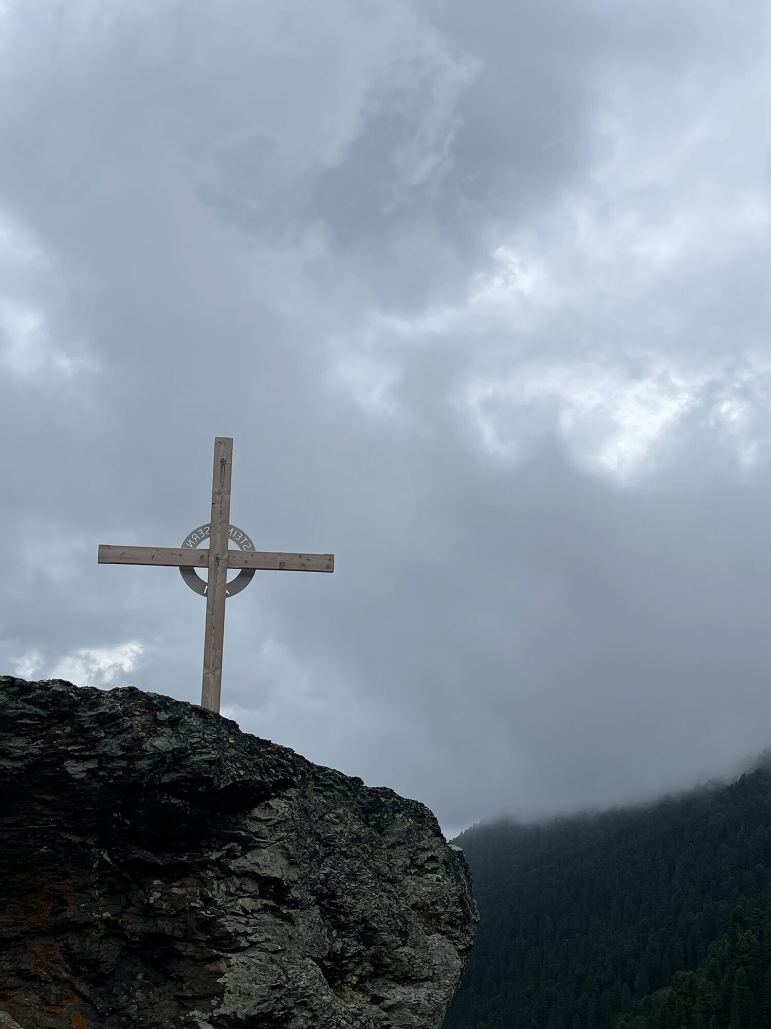
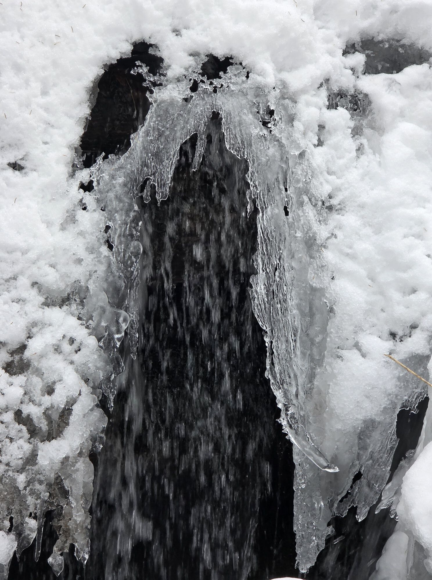
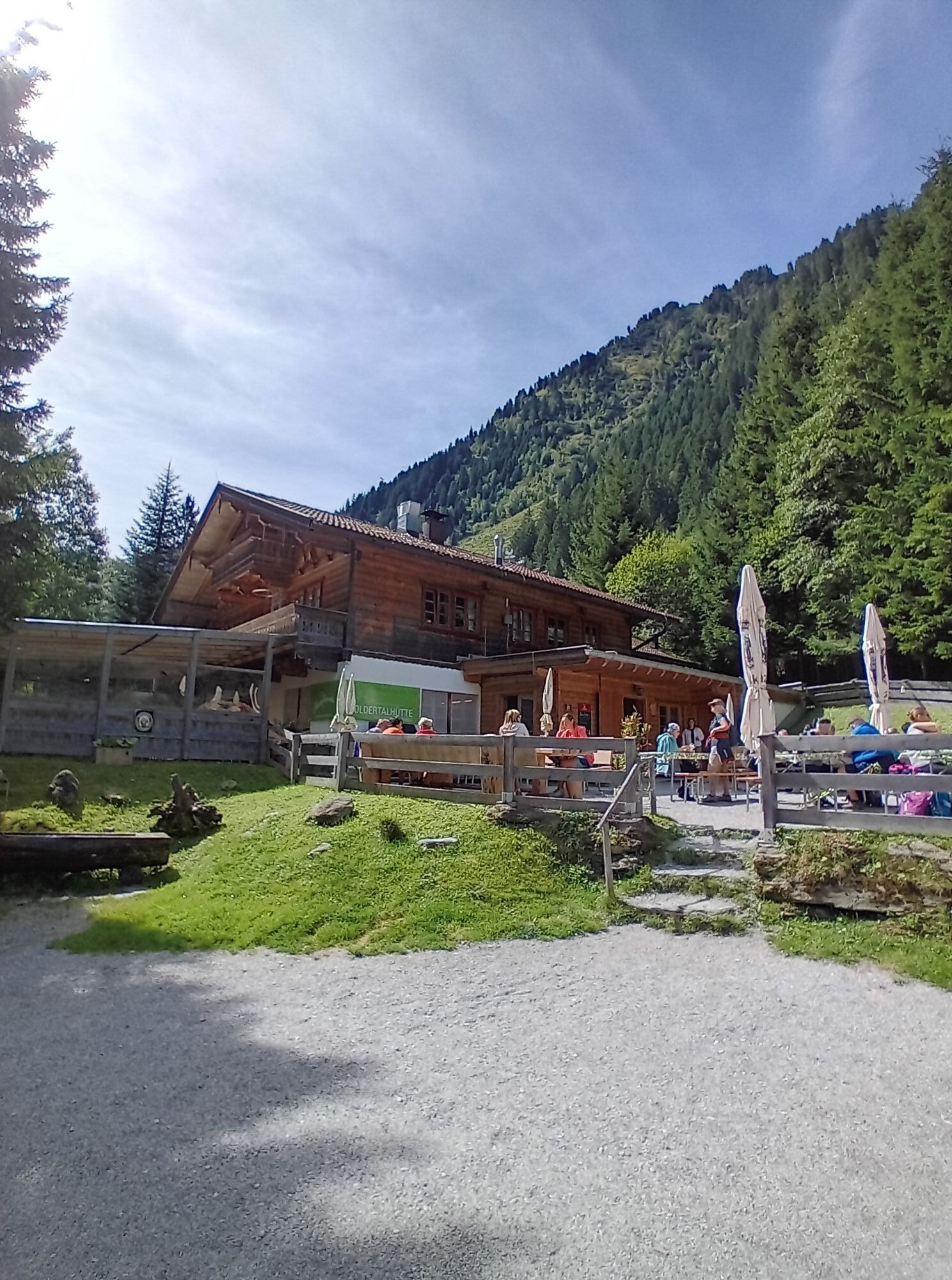
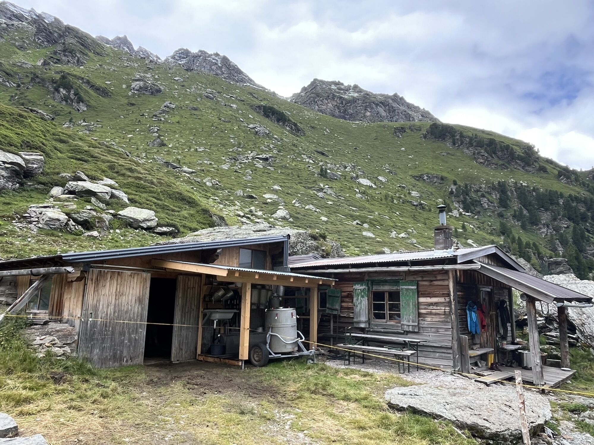
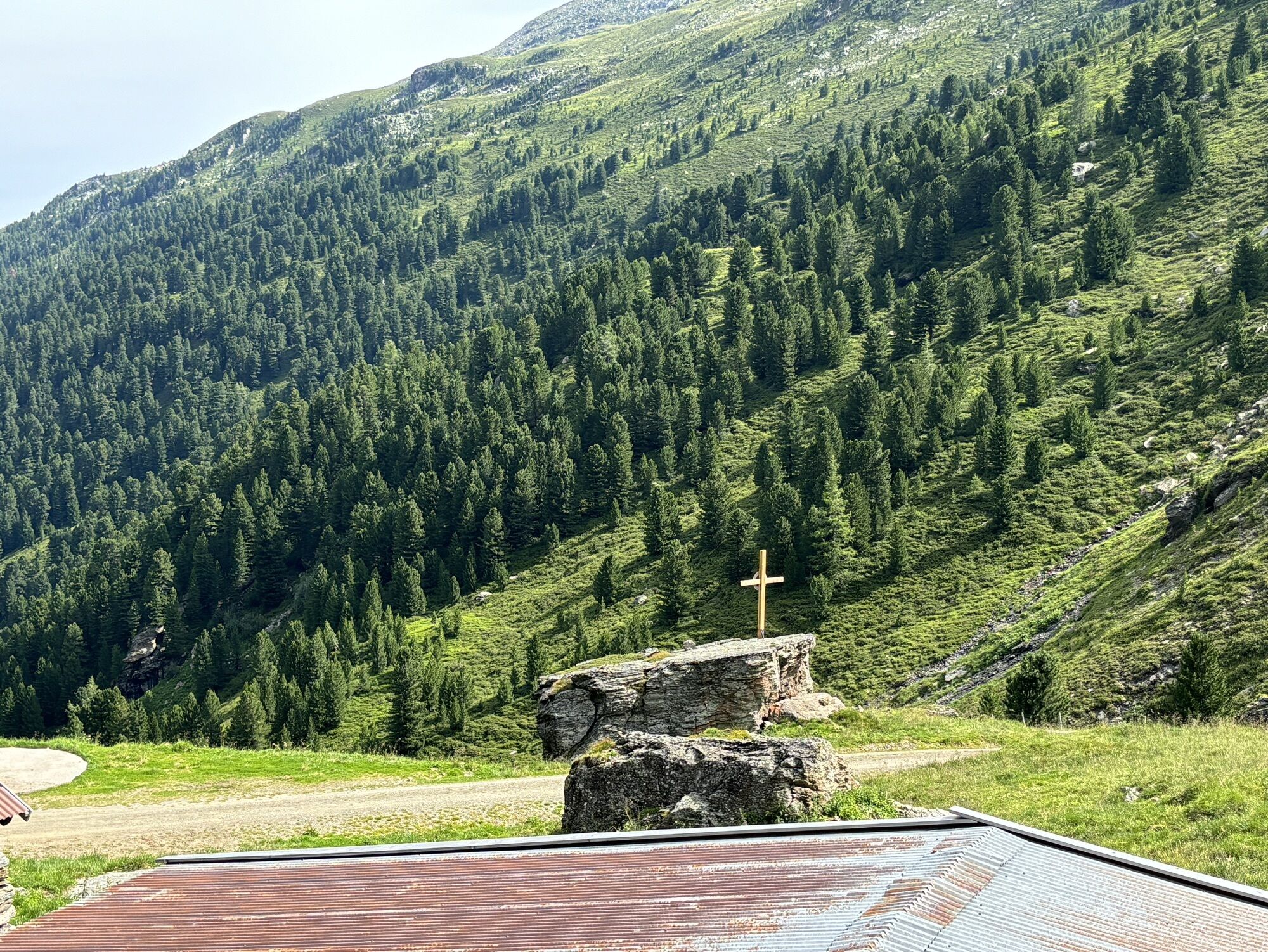
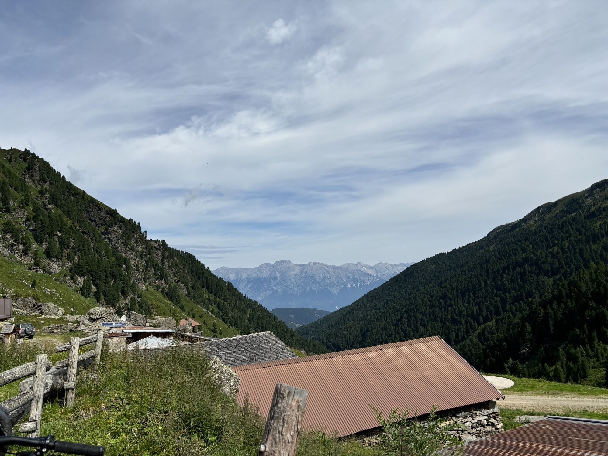
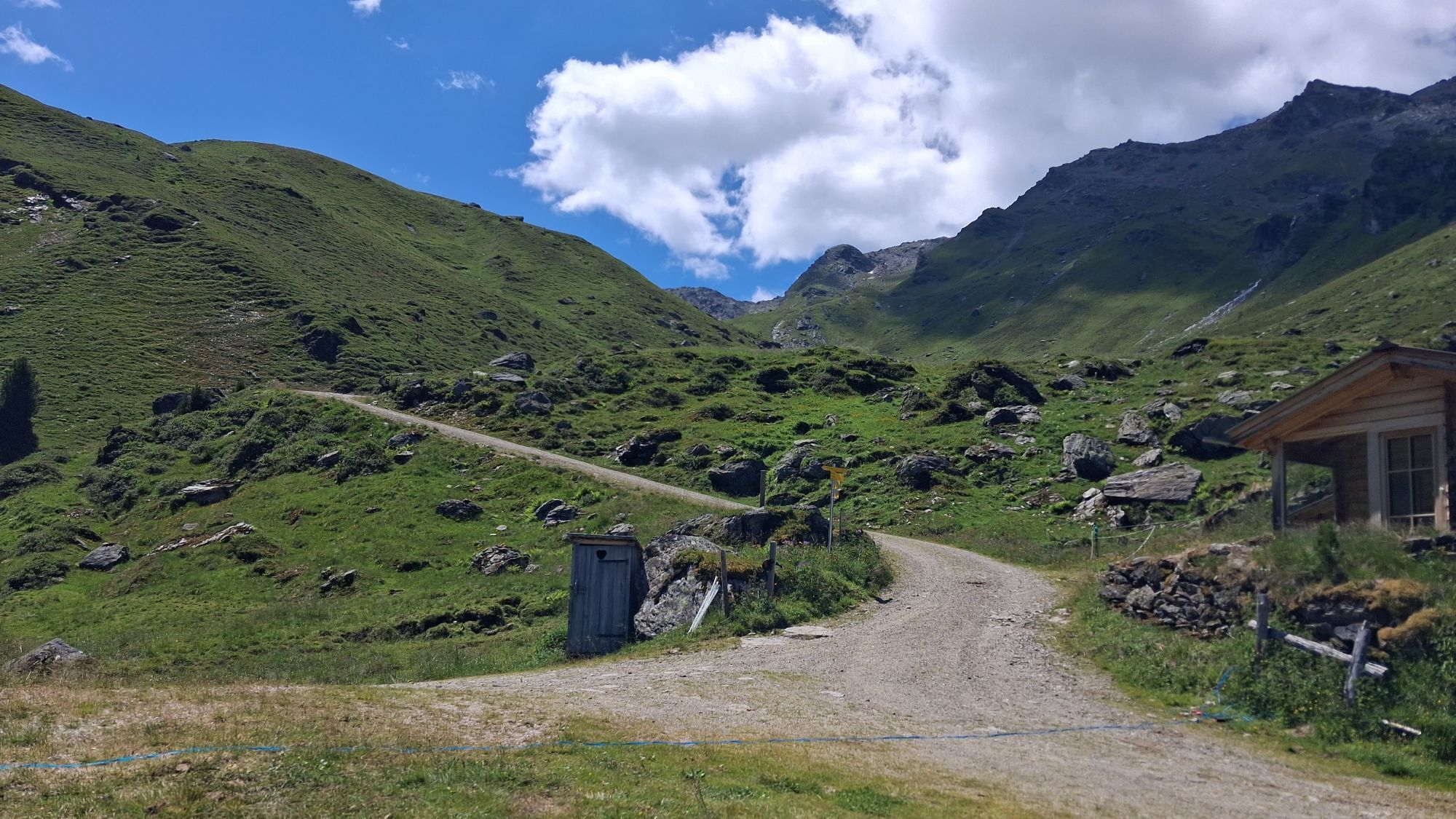
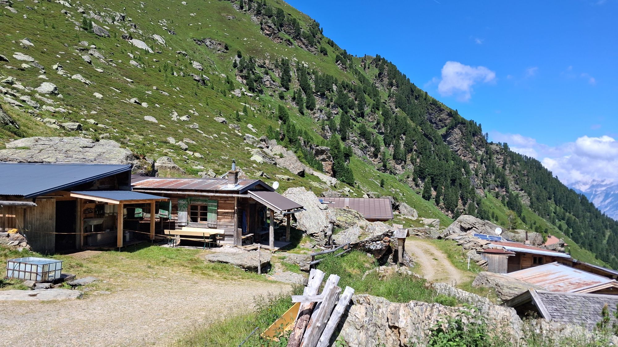
Hike from Volderwildbad along the Voldertal creek to the Naturfreundehaus Voldertalhütte and further into the valley to the alpine settlement Steinkasern.
Hike from Volderwildbad along the Voldertal creek to the Naturfreundehaus Voldertalhütte and further into the valley to the alpine settlement Steinkasern.

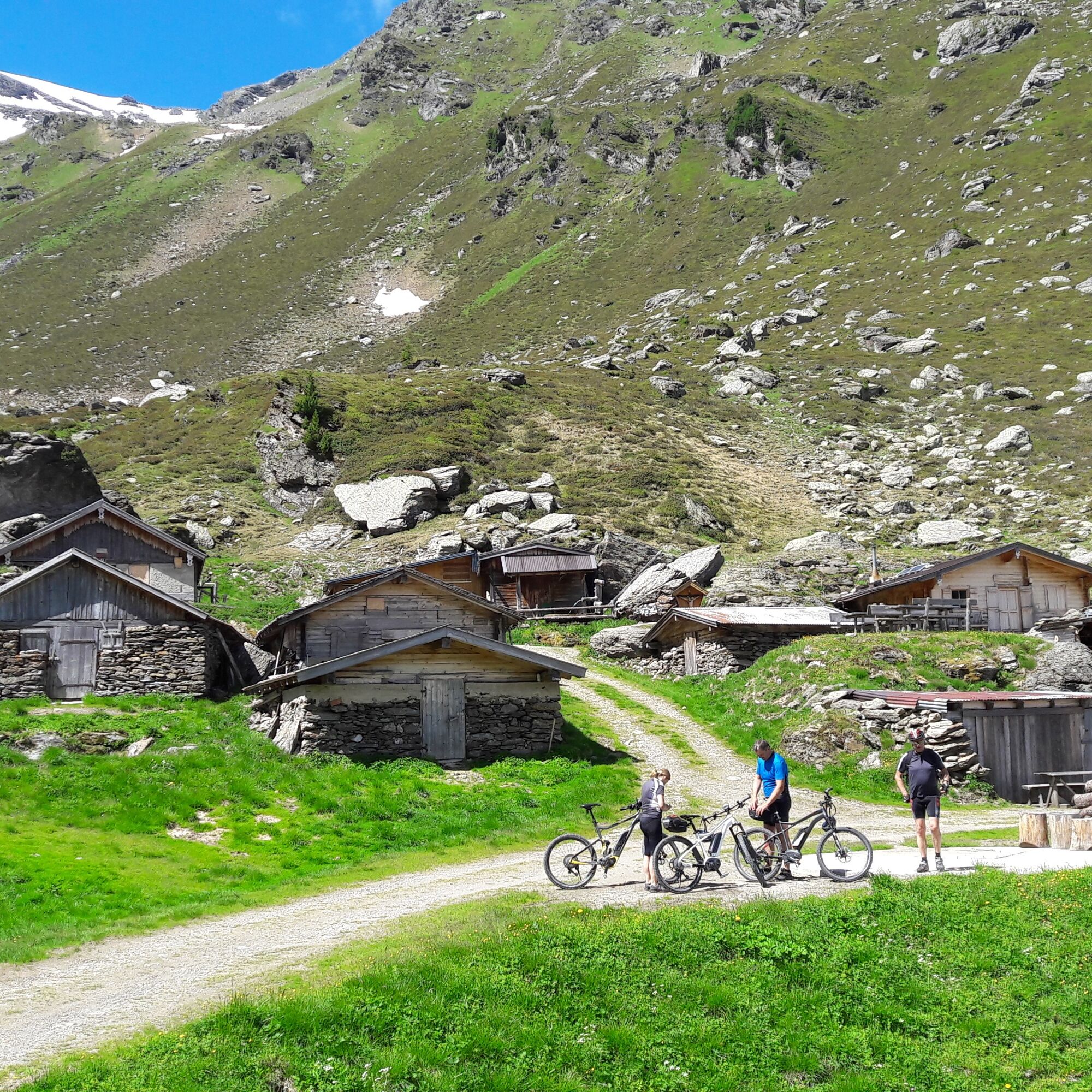
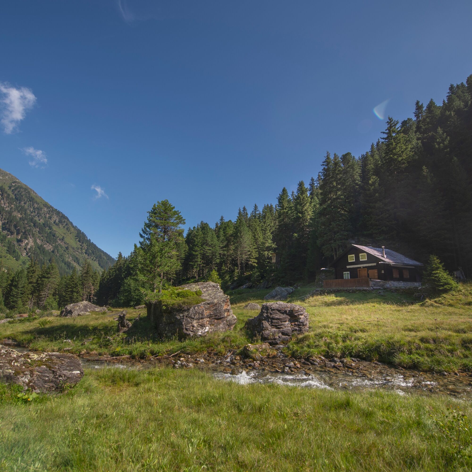
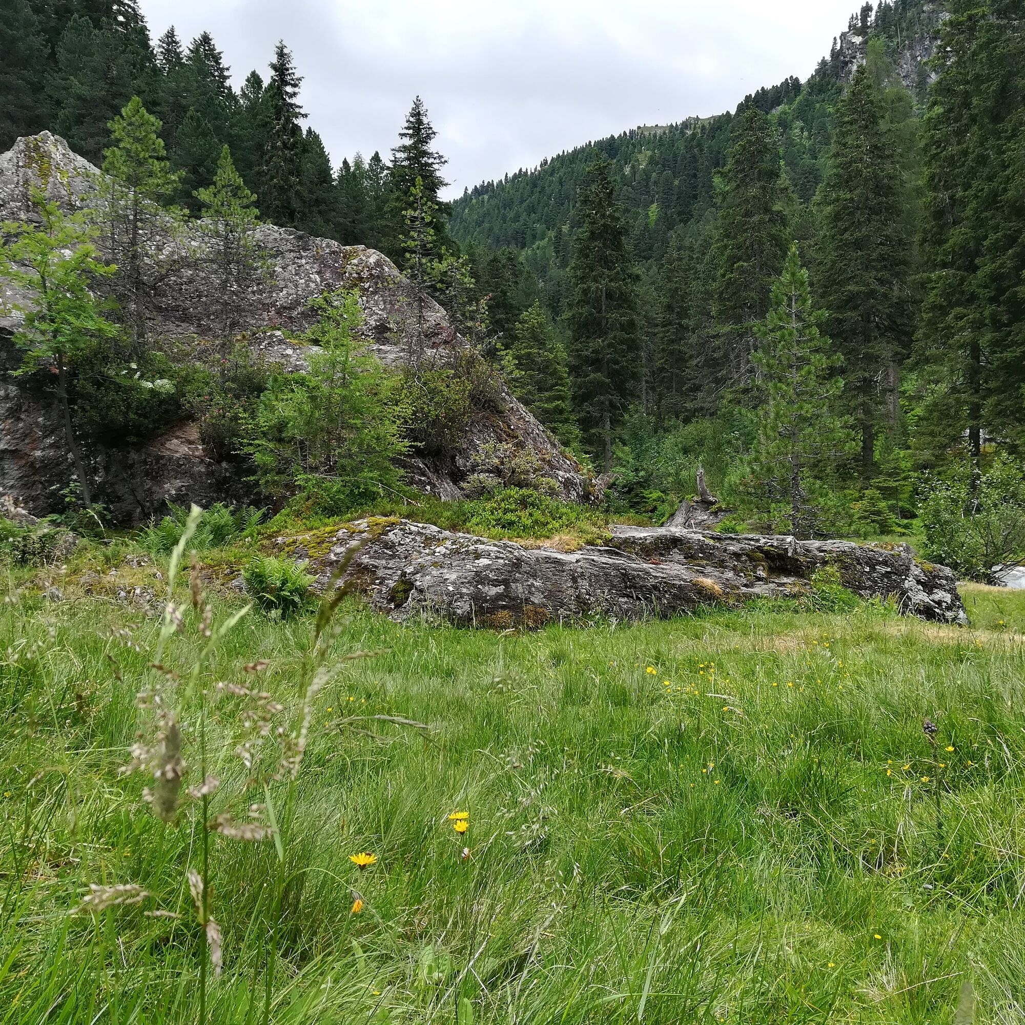
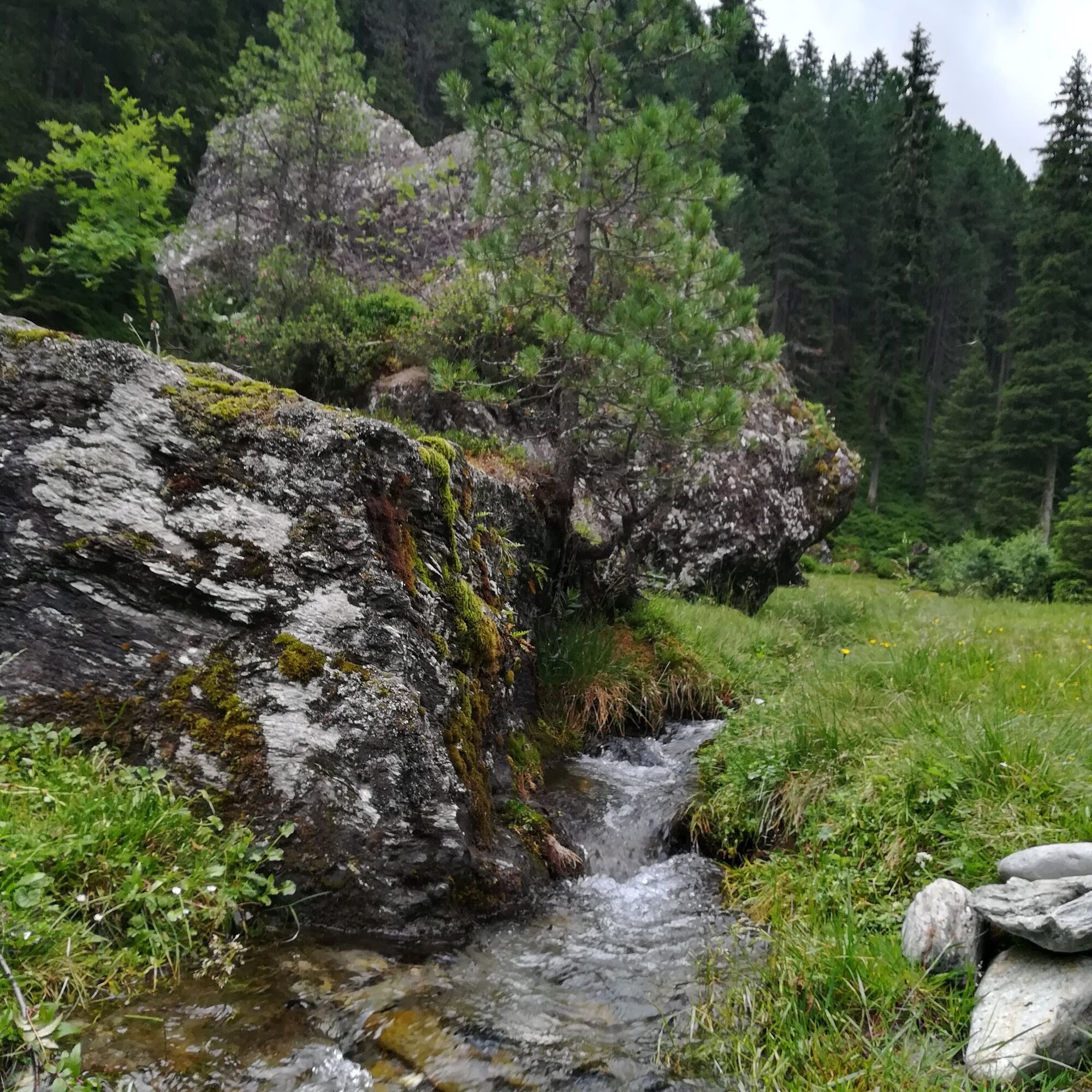
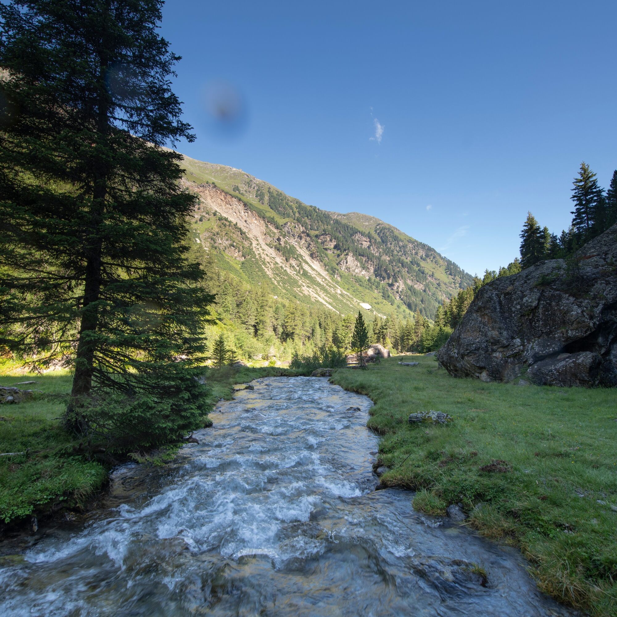
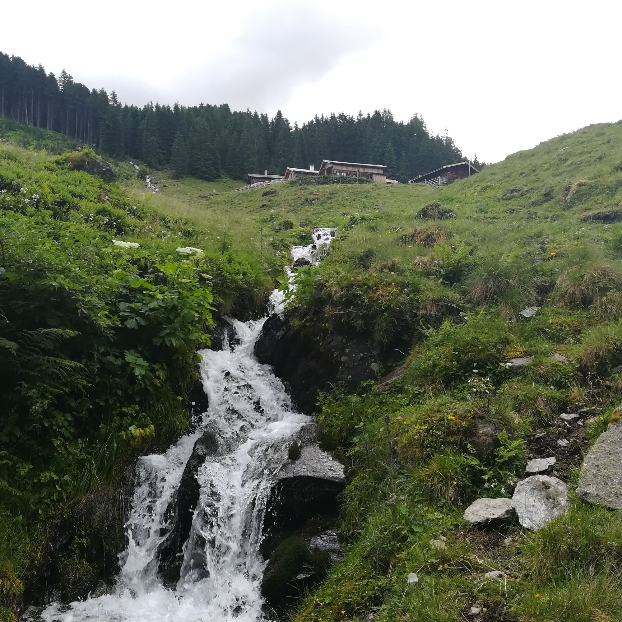
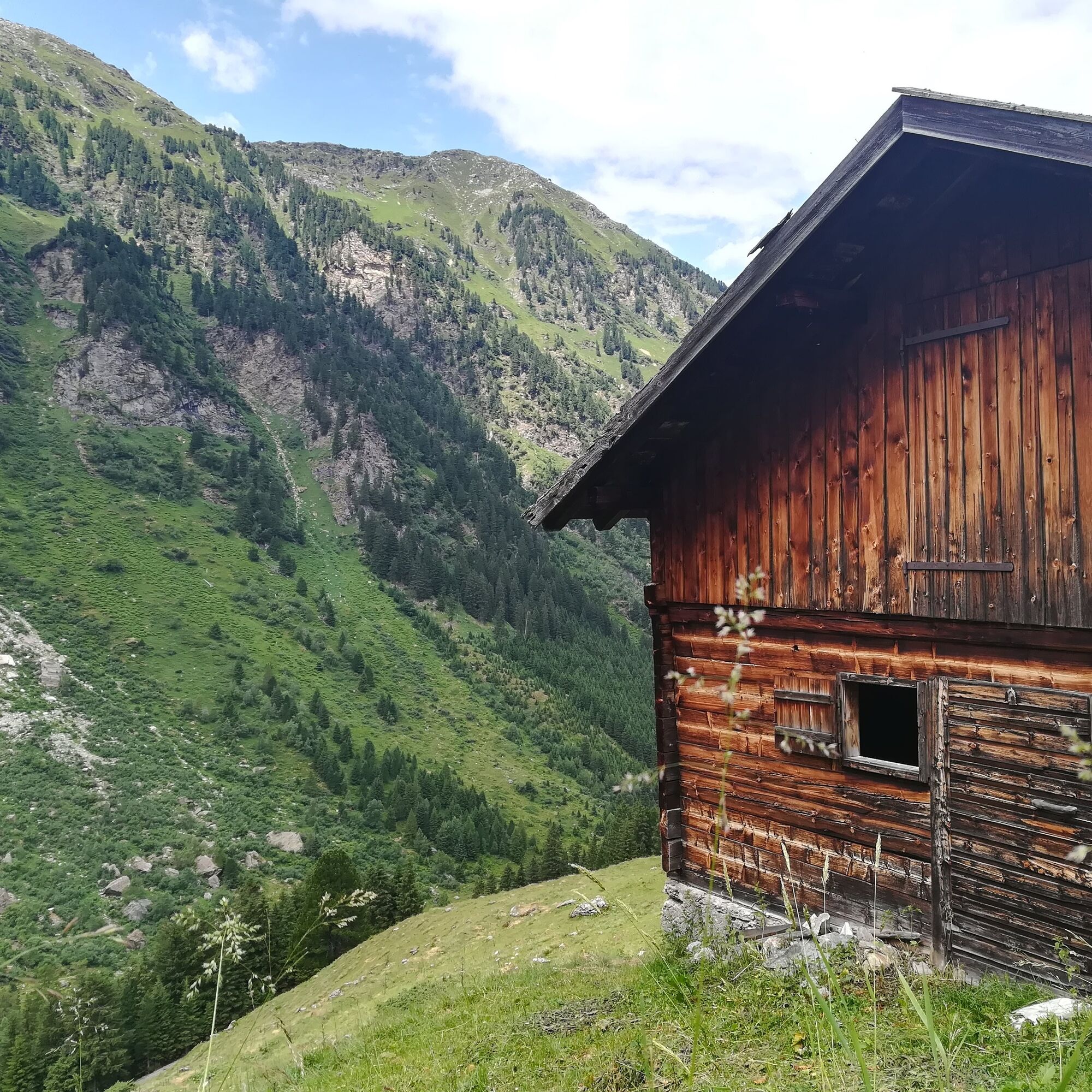
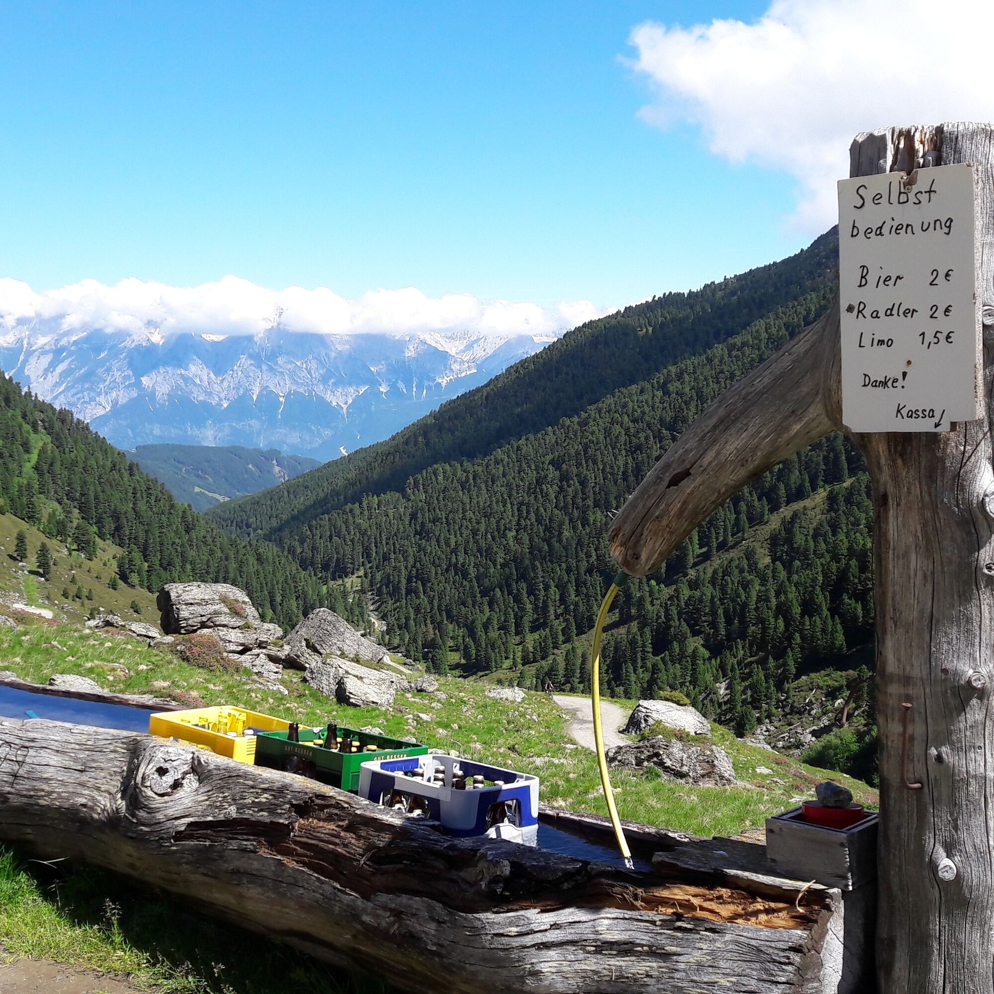
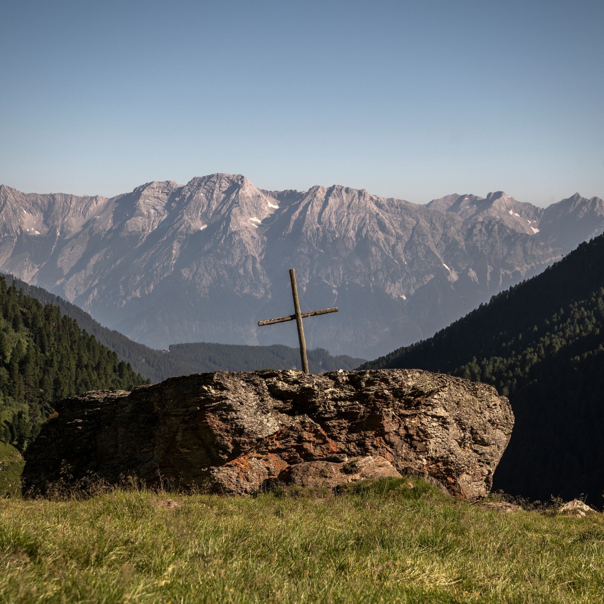
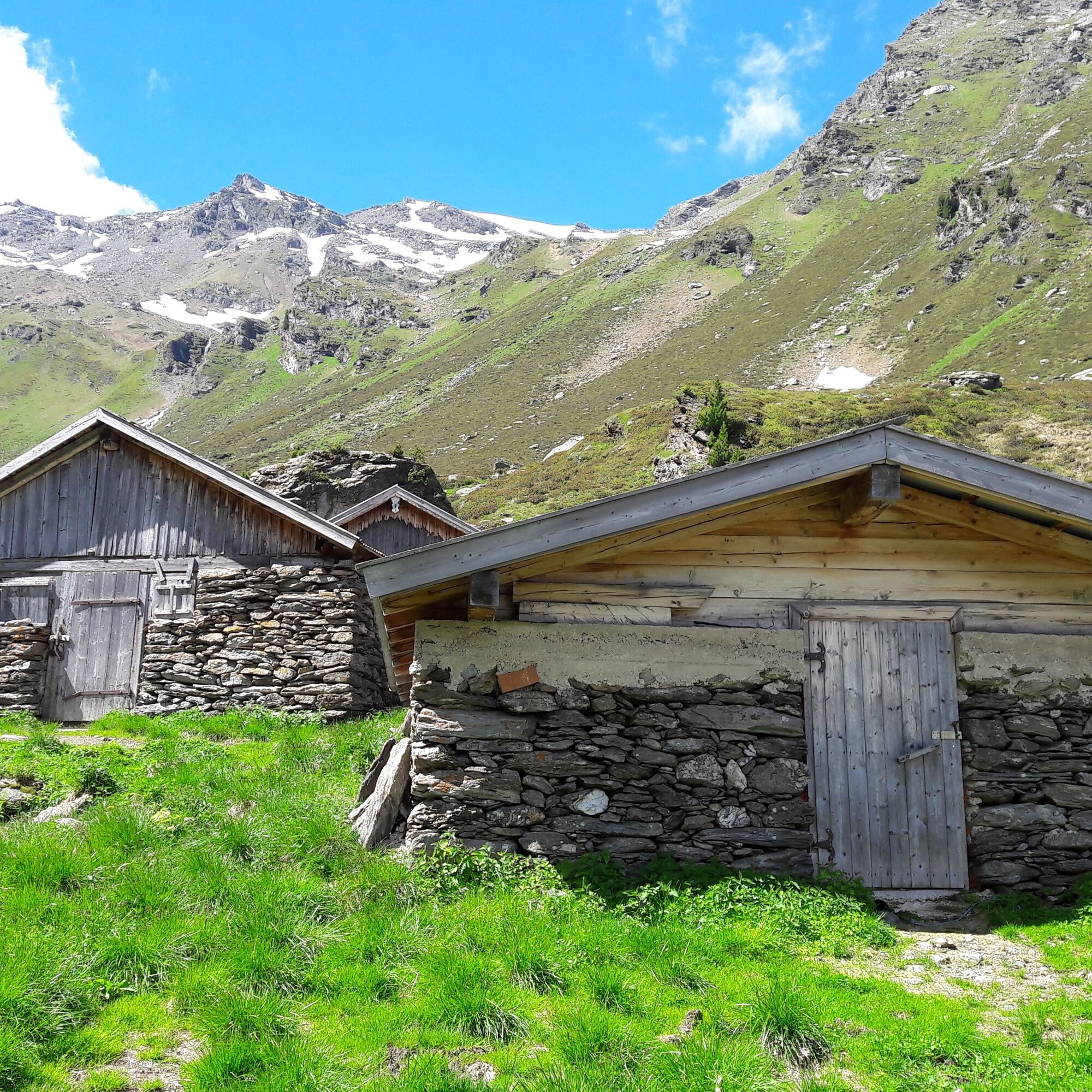
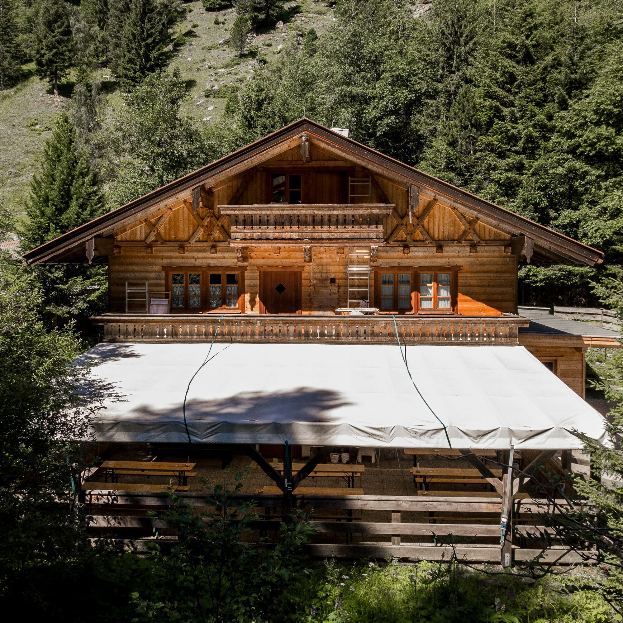

This scenic hike begins at the fee-charging parking lot Volderwildbad at 1104m and leads ultimately up to 2002m.
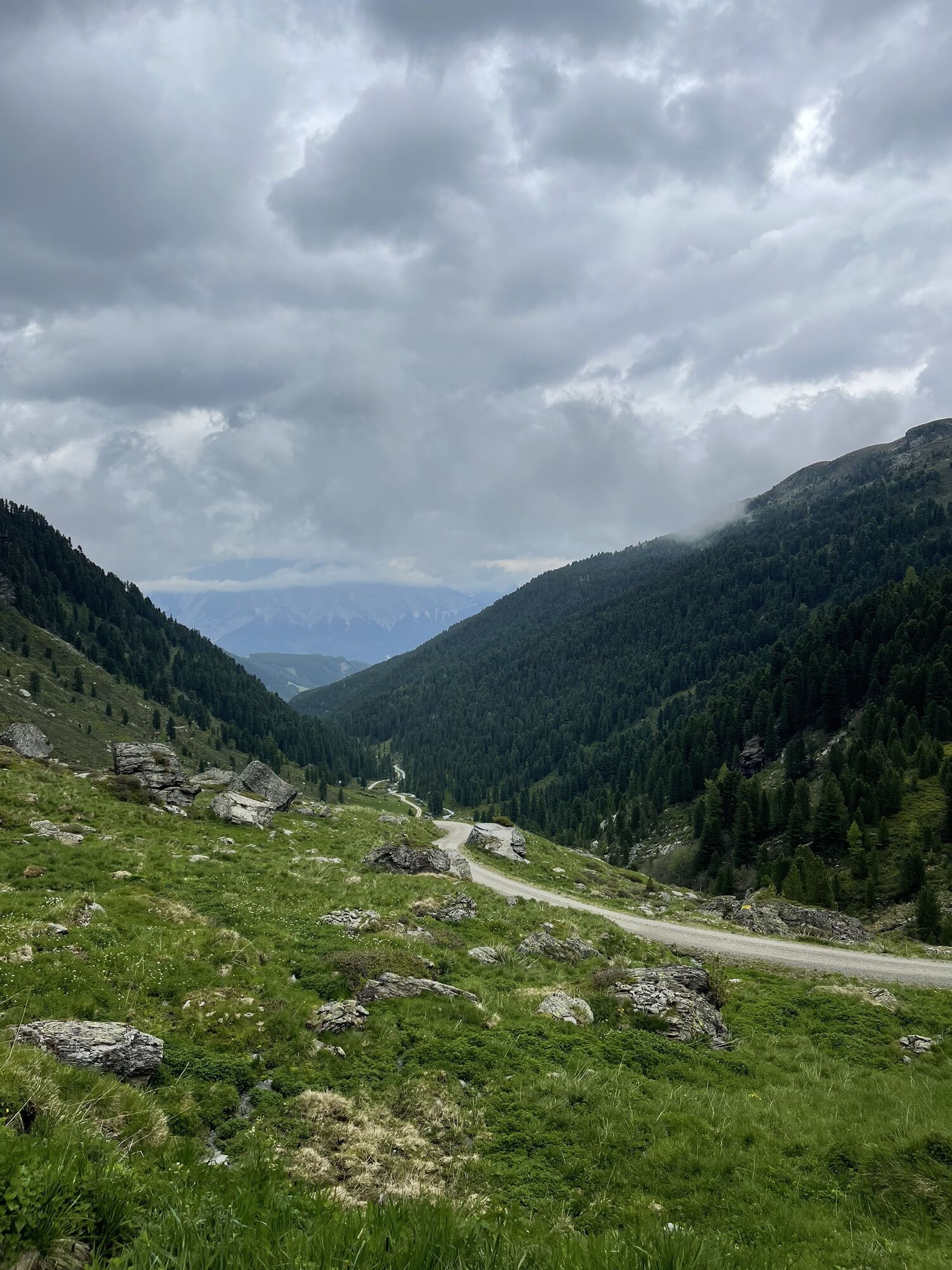
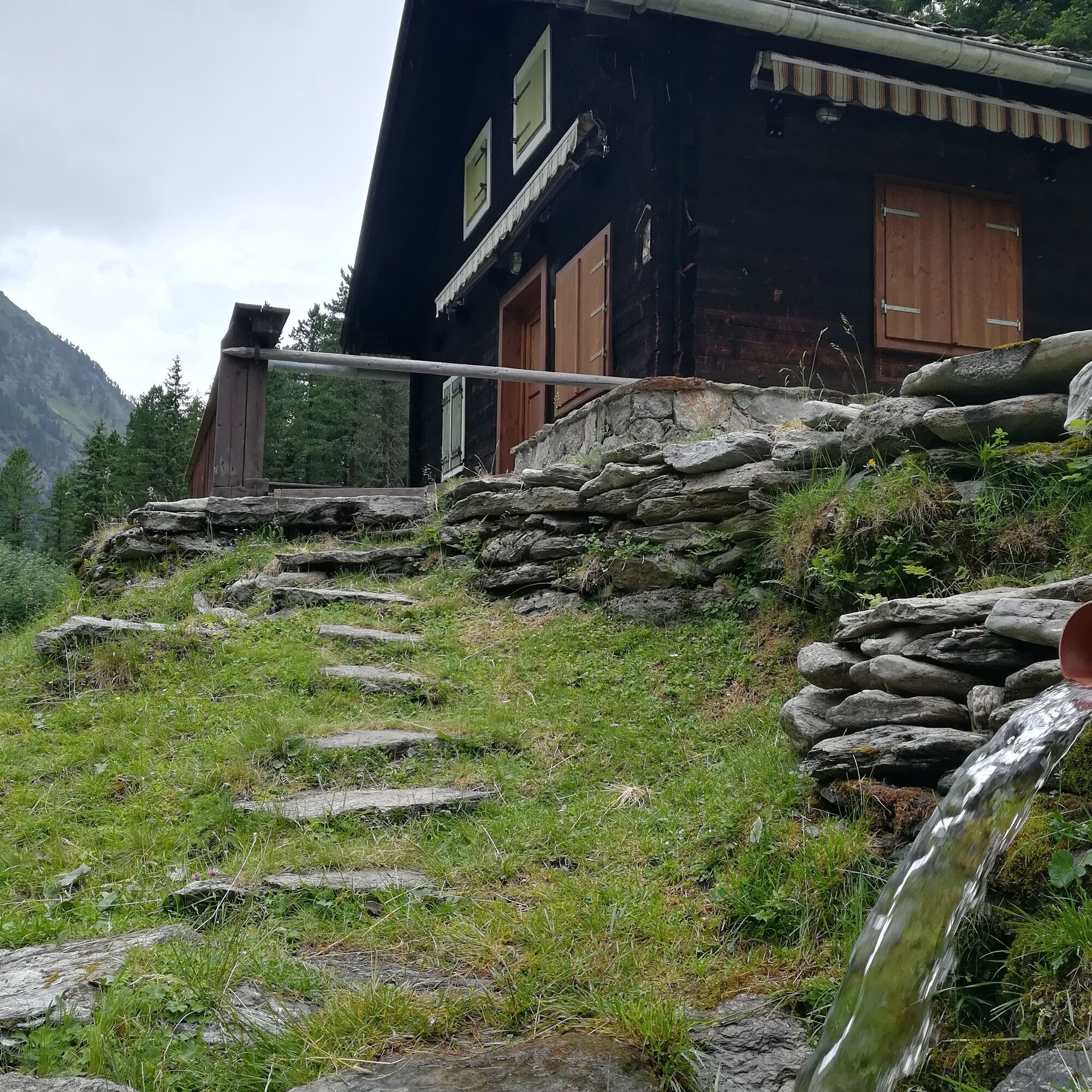
Following the Voldertal creek, the first section of this hike leads into the Voldertal. After about 1 hour we reach the Voldertalhütte at 1376m.
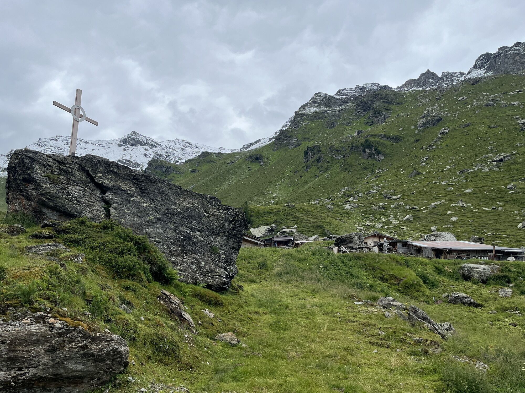
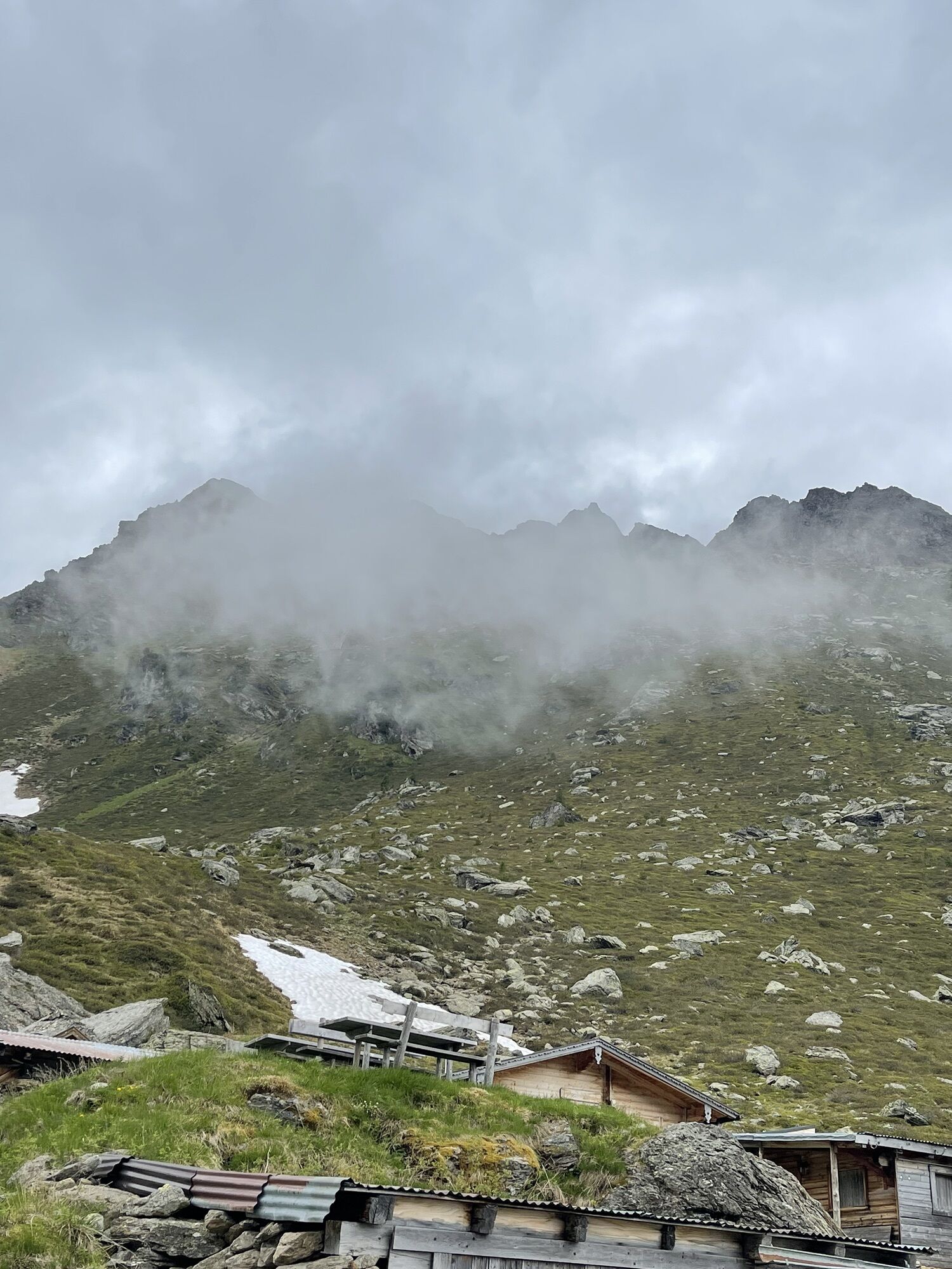
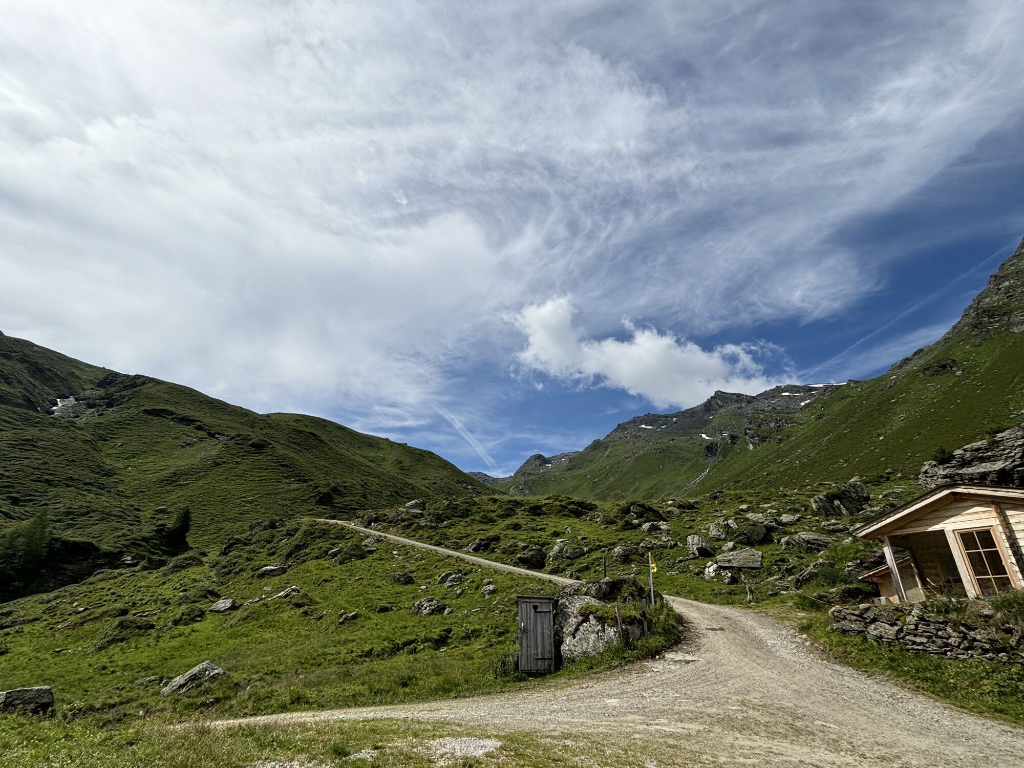
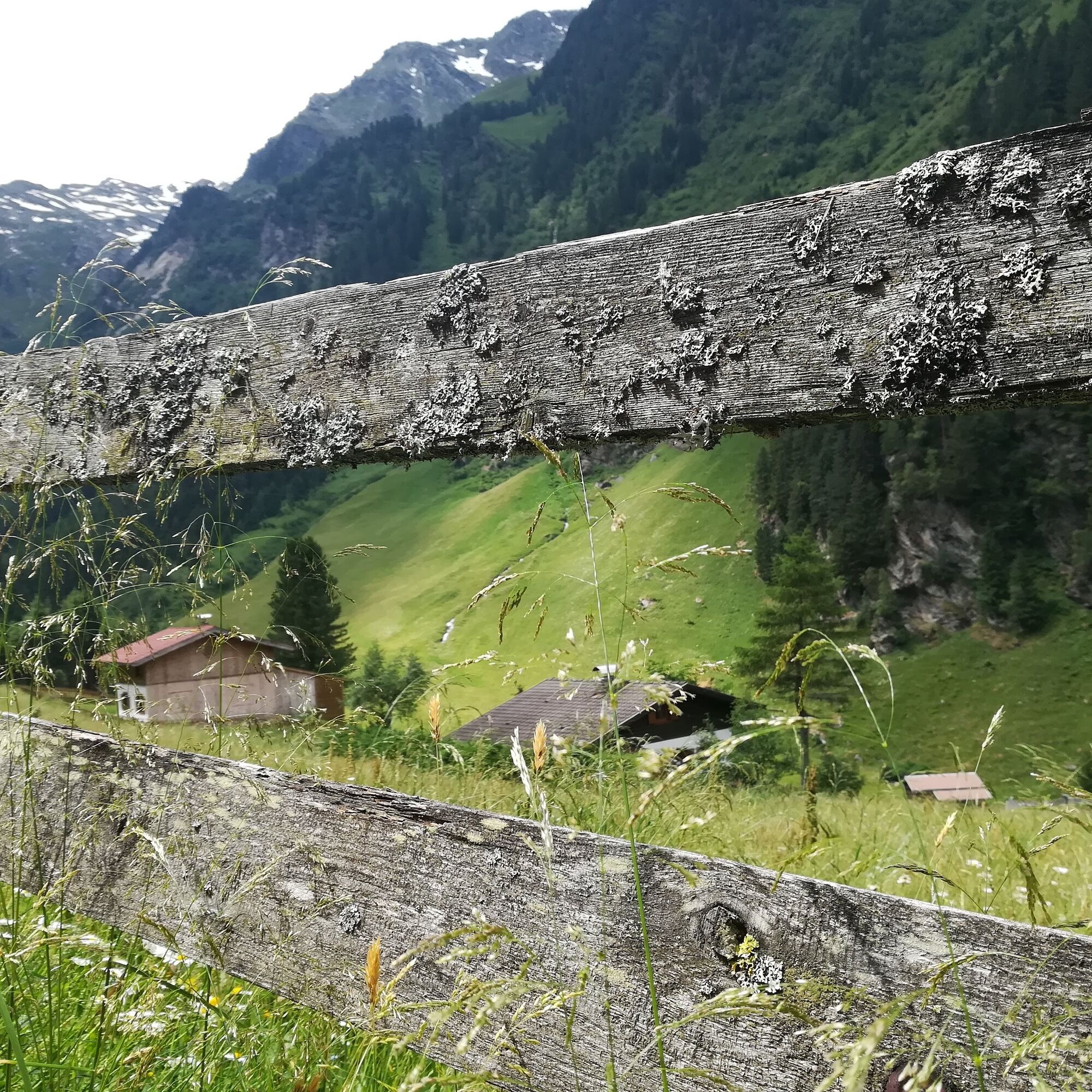
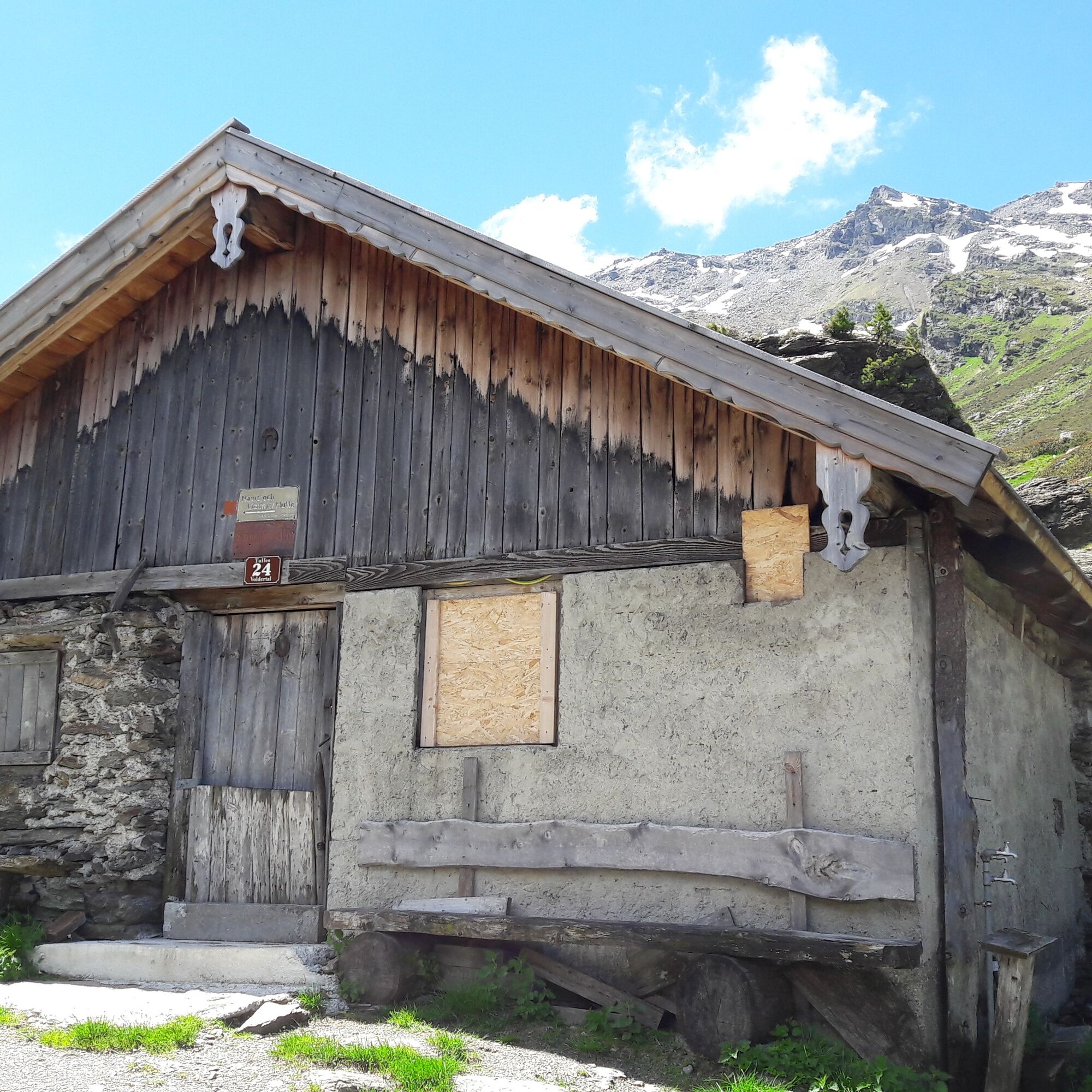
Following the creek, it continues further into the green Voldertal. The "Dörfl" is passed, a cluster of huts. Now it goes a bit away from the creek further on, the valley end already in sight. After the Vorbergalm you arrive at the day's destination, a rustic alpine settlement at the valley end, Steinkasern at 2002m is reached.
Not only the valley itself has its charms but also the view you now have out onto the Inn valley is wonderful.
Drive on the A12 "Wattens" to the roundabout - turn right and continue straight - turn towards Volders - after about 30m turn left and follow the signs over Großvolderberg - Volderwildbad parking lot.
By postbus 4134 to Tulfes
Directly at the starting point!
T1
Not only the idyllic mountain village Steinkasern compensates at the end, but also the peace and the view out into the Inn valley.
Kamery internetowe z trasy
Uzyskaj wgląd
Zawsze na żywo z ponad 9 500 kamer internetowych. bergfex Jako użytkownik Pro, możesz teraz zobaczyć odpowiednie kamery internetowe dla wielu wycieczek w aplikacji wycieczki od. Pozwala to na bezpośredni podgląd aktualnych warunków.


Popularne wycieczki w okolicy
-
4,8
Felix-Kuen via ferrata on the Hundskopf
ciężkiVia ferrata 2,18 km -
4,7
3 Almen Karwendelrunde MTB Route 408
ciężkiMountainbike 23,8 km -
4,6
Patscherkofl
średniWędrówka 18,5 km -
4,9
Patscherkofel Gipfelrunde mit Zirbenweg
światłoWędrówka 6,52 km -
4,6
To the scenic Hochmahdkopf
średniWędrówka 8,31 km -
3,9
To the alpine inn St. Magdalena in the Halltal
średniWędrówka 7,24 km -
4,5
Up to the Largoz
średniWędrówka 7,01 km -
4,8
Halltal - Bettelwurfhütte - Kleiner und Großer Bettelwurf
ciężkiWycieczka wysokogórska 16,2 km -
4,0
From Gandenwald/Kranzach to Walderalm
średniWędrówka 9,98 km -
4,0
Innsbruck/ Igls: Patscherkofel
Mountainbike 14,1 km
Wędrówki i tropienie


Nie przegap ofert i inspiracji na następne wakacje
Twój adres e-mail została dodana do listy mailingowej.





