


Tannheimer Valley Loop » Mountain & Bus
Poziom trudności: T3


With the PfrontenCard, KönigsCard, Vitales Land card or a mountain railway ticket for the Breitenberg cable car as well as the Grän mountain railway with card use on the day of transport, you can travel...
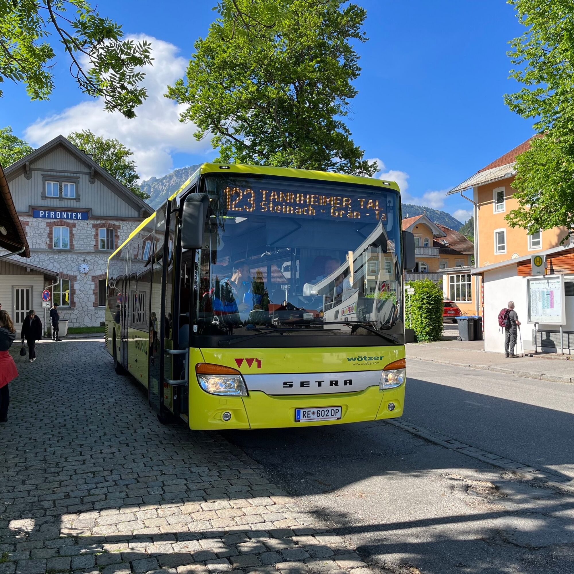
With the PfrontenCard, KönigsCard, Vitales Land card or a mountain railway ticket for the Breitenberg cable car as well as the Grän mountain railway with card use on the day of transport, you can travel for free in the Tälersbus into the Tannheimer Valley from May to October. For all other passengers, the usual public transport tariffs apply. The Tälersbus schedules can be viewed and downloaded as a PDF.
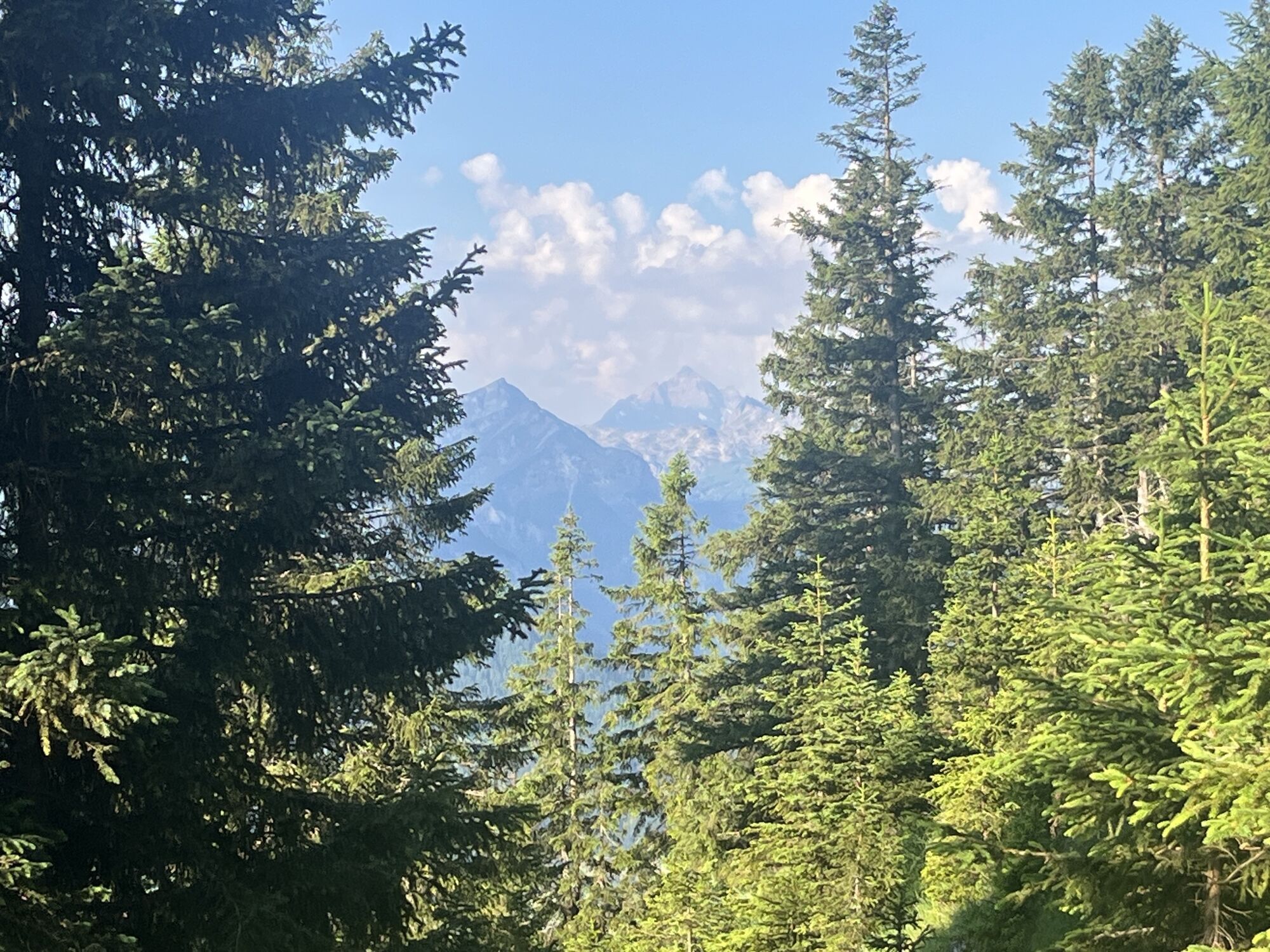
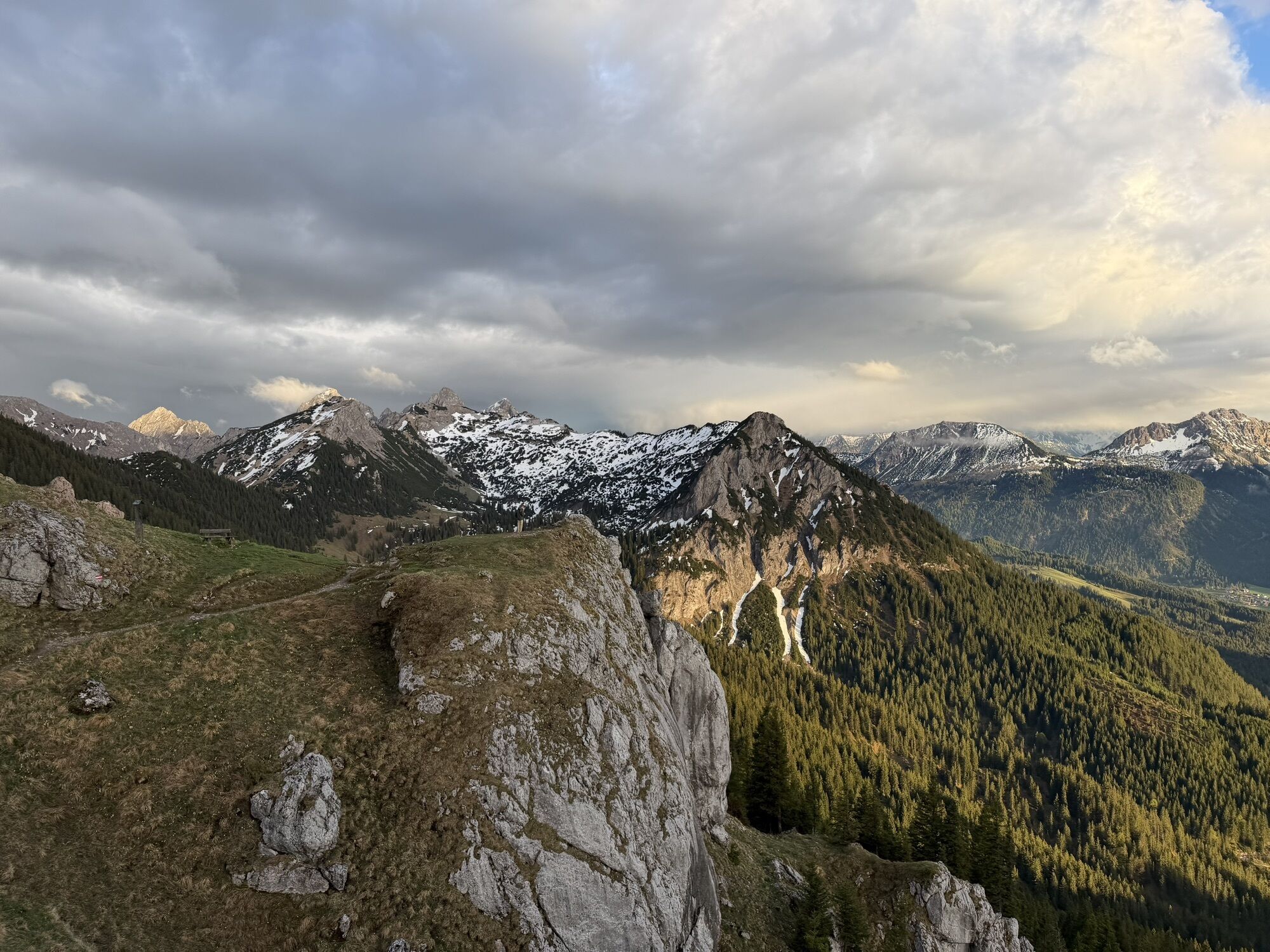
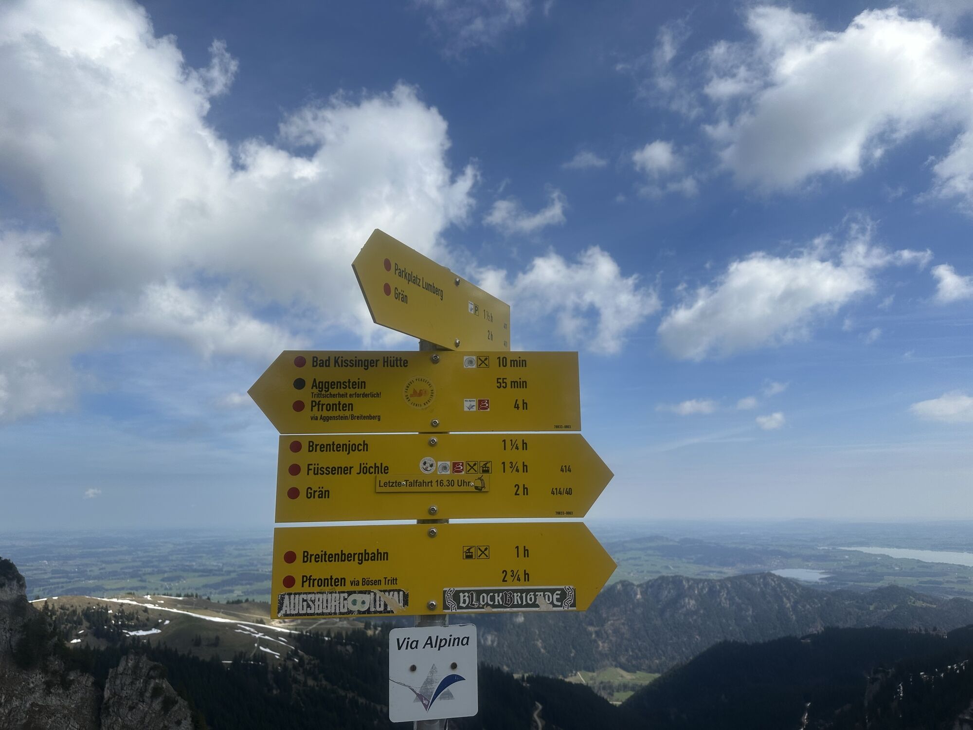
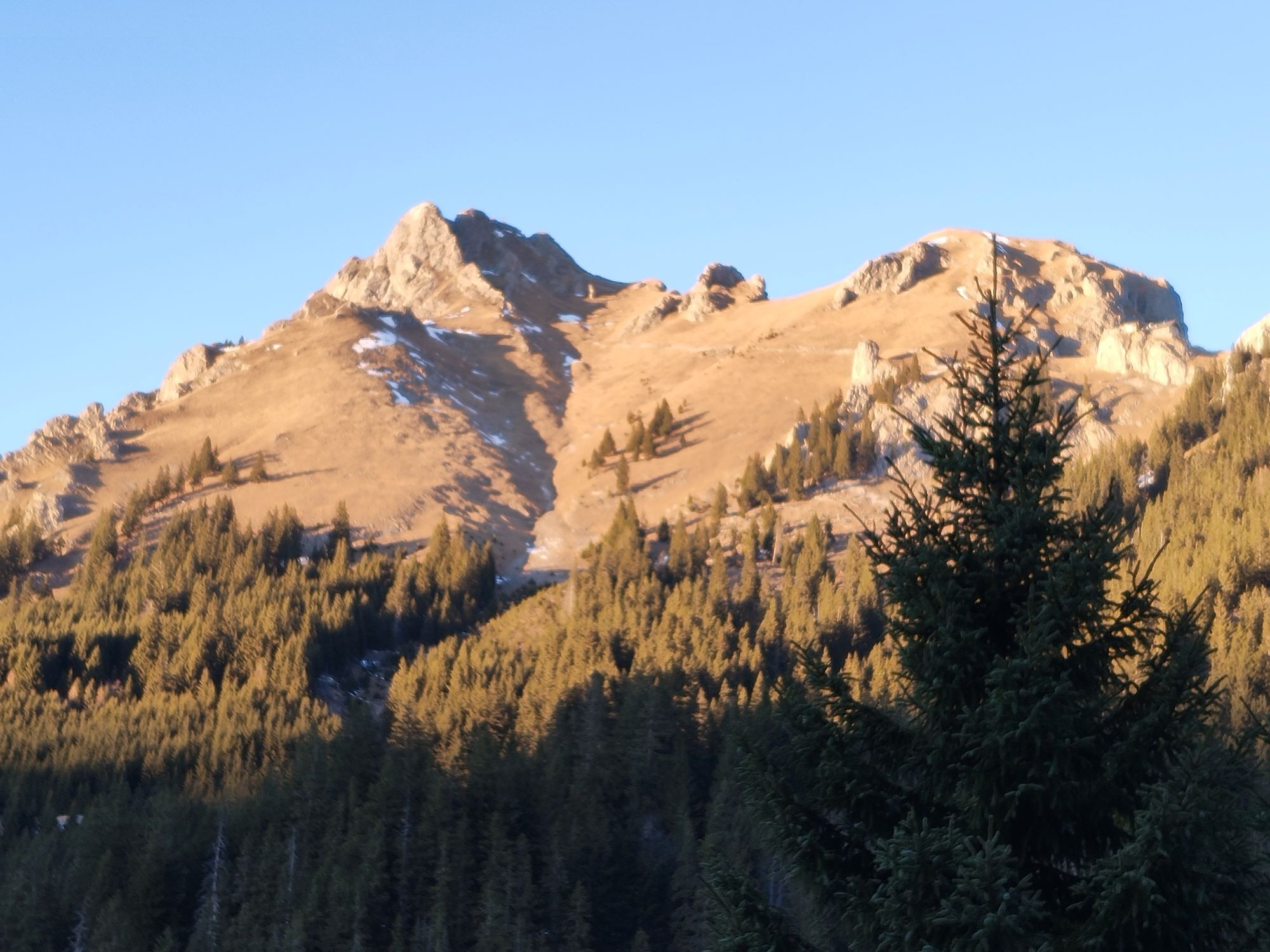
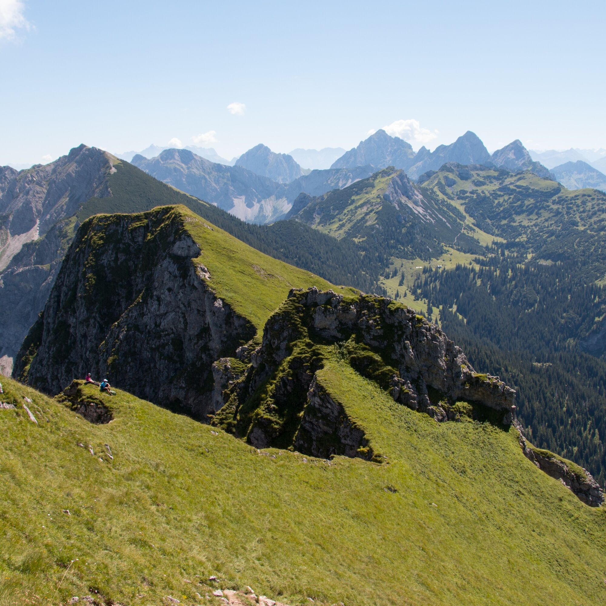
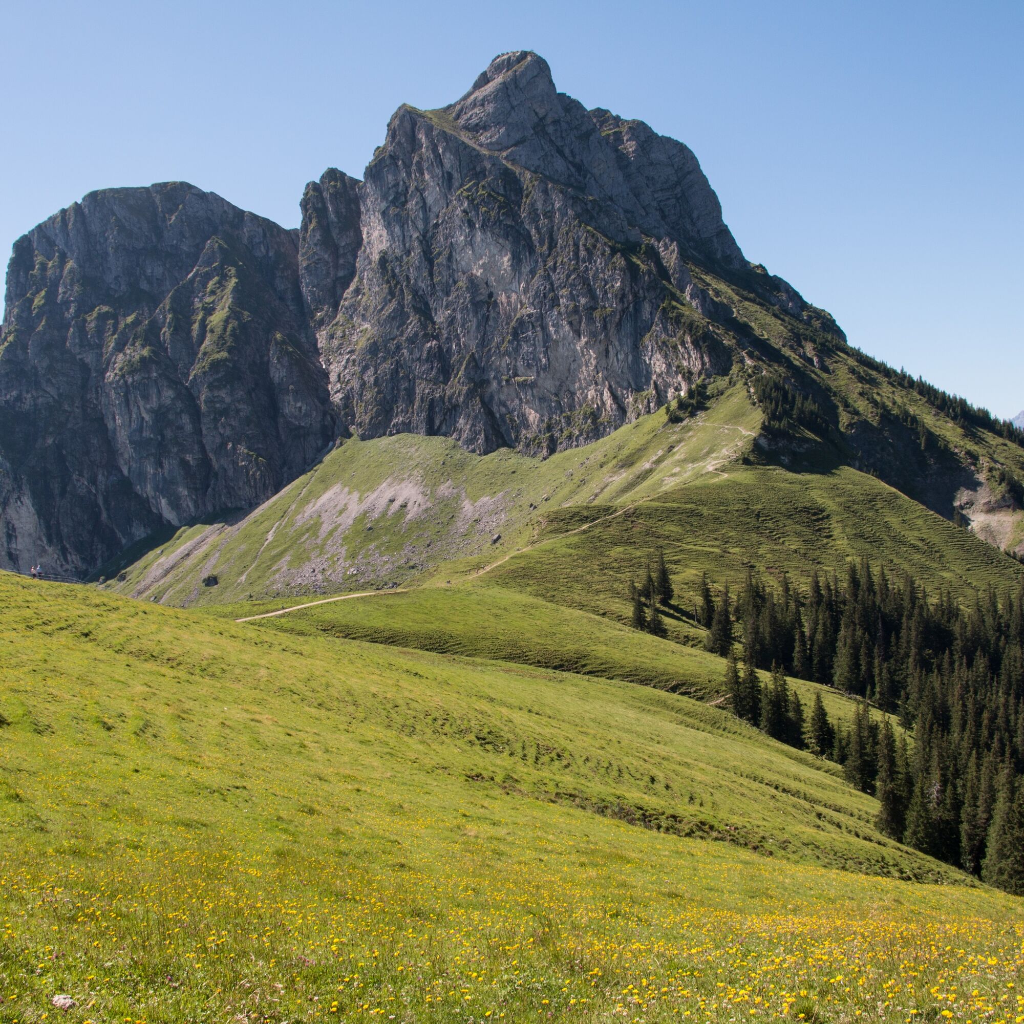
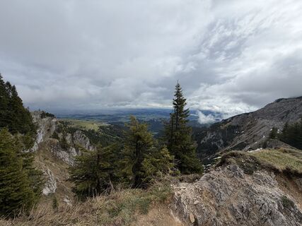
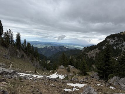
The Aggenstein crossing works in both directions: from Pfronten (possibly with the Breitenberg cable car) over the Breitenberg and Aggenstein and in the opposite direction from Grän over the Aggenstein.
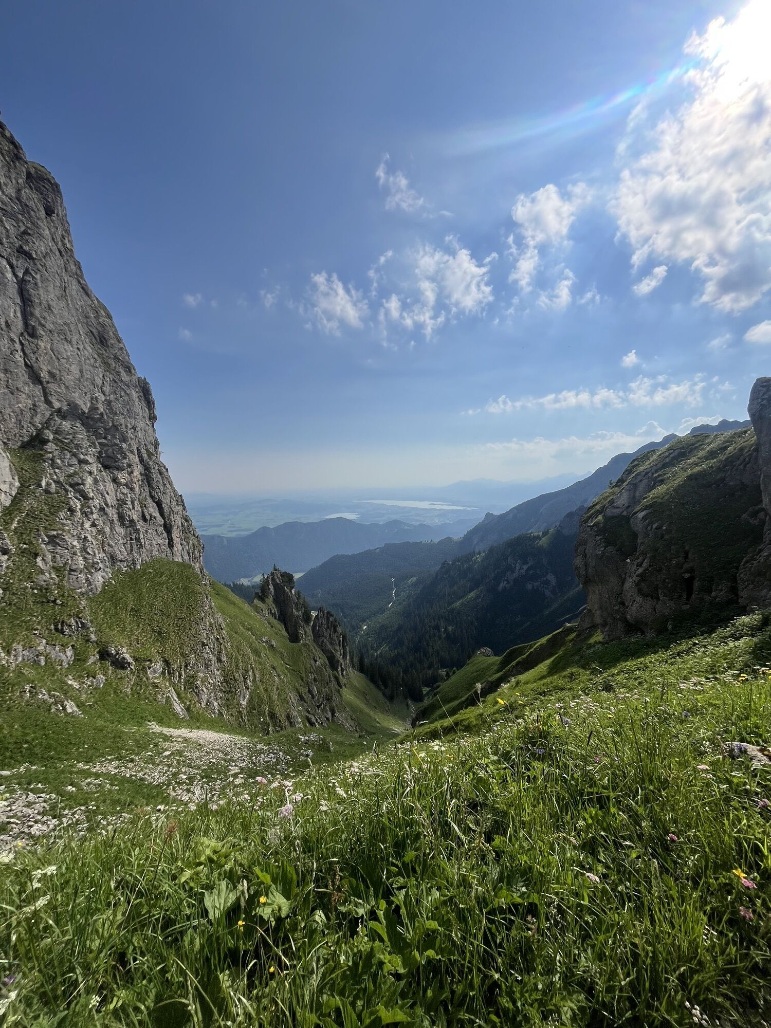
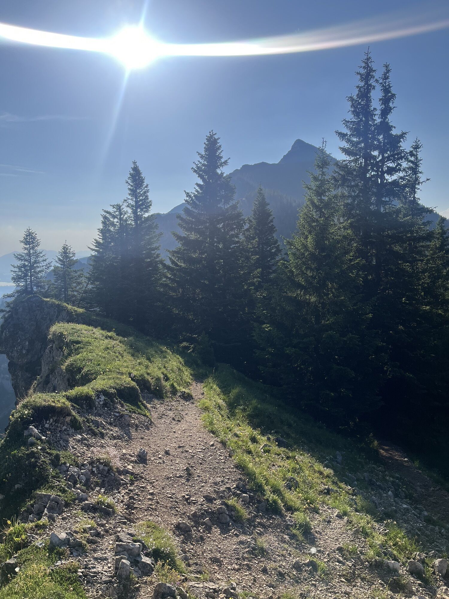
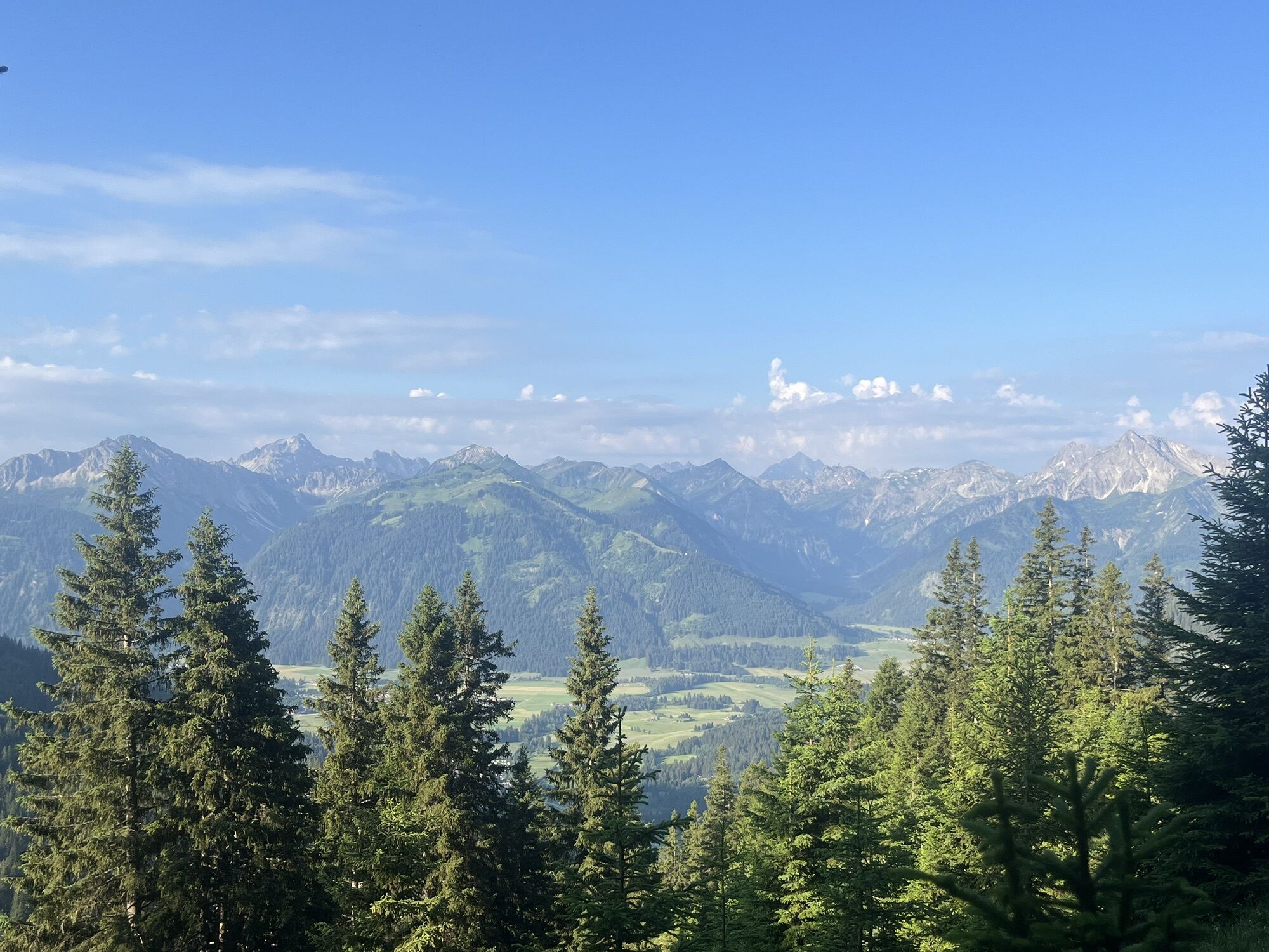
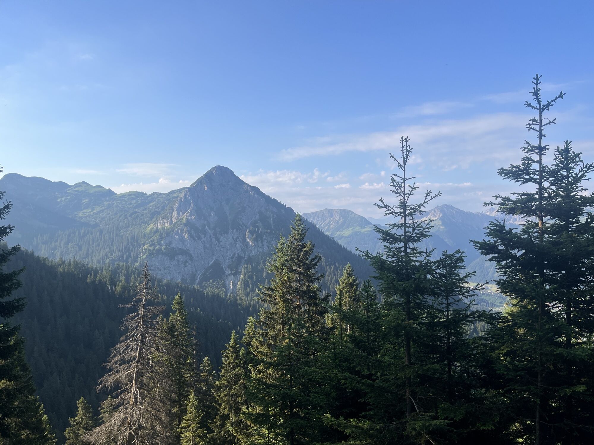
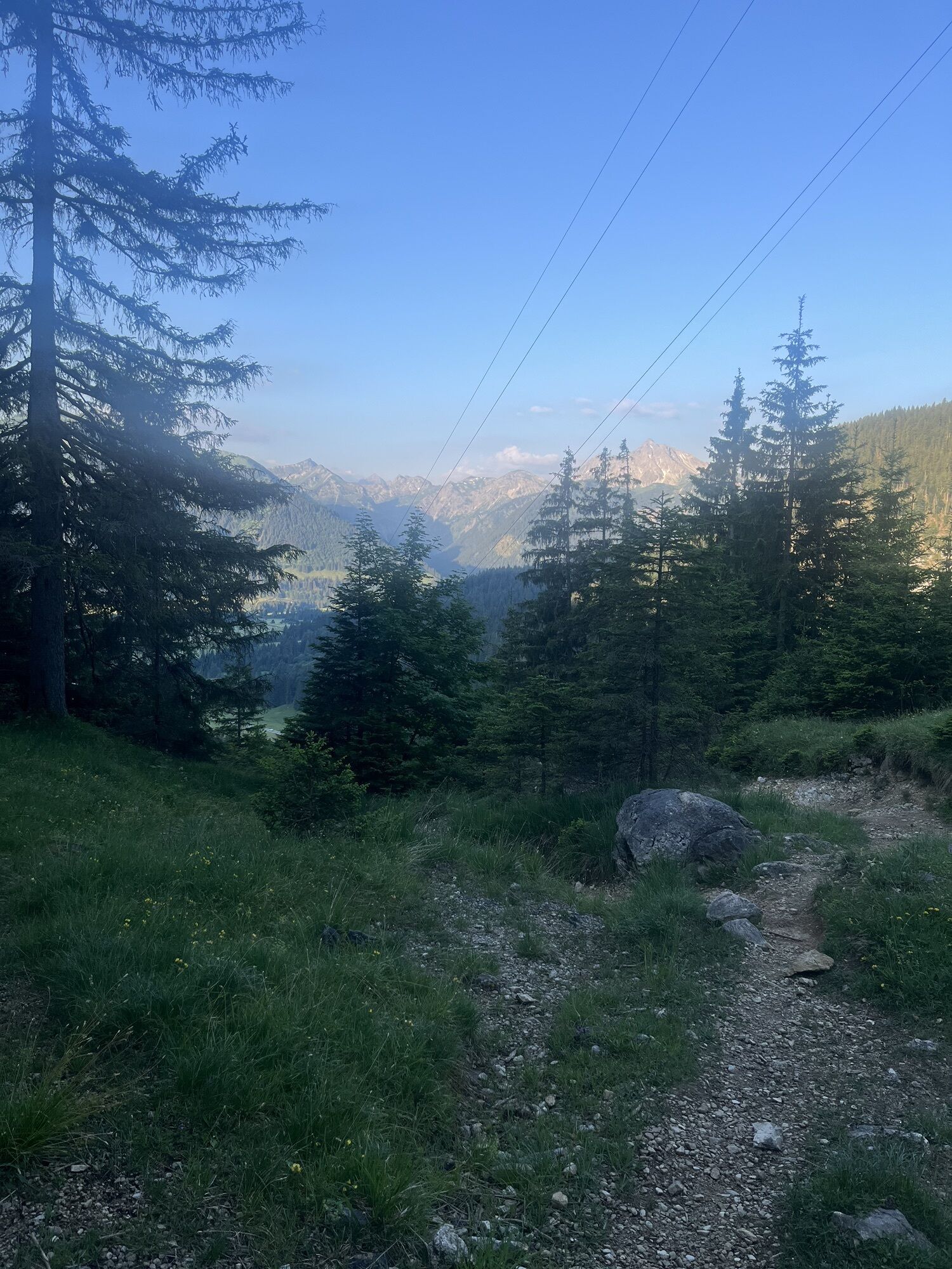
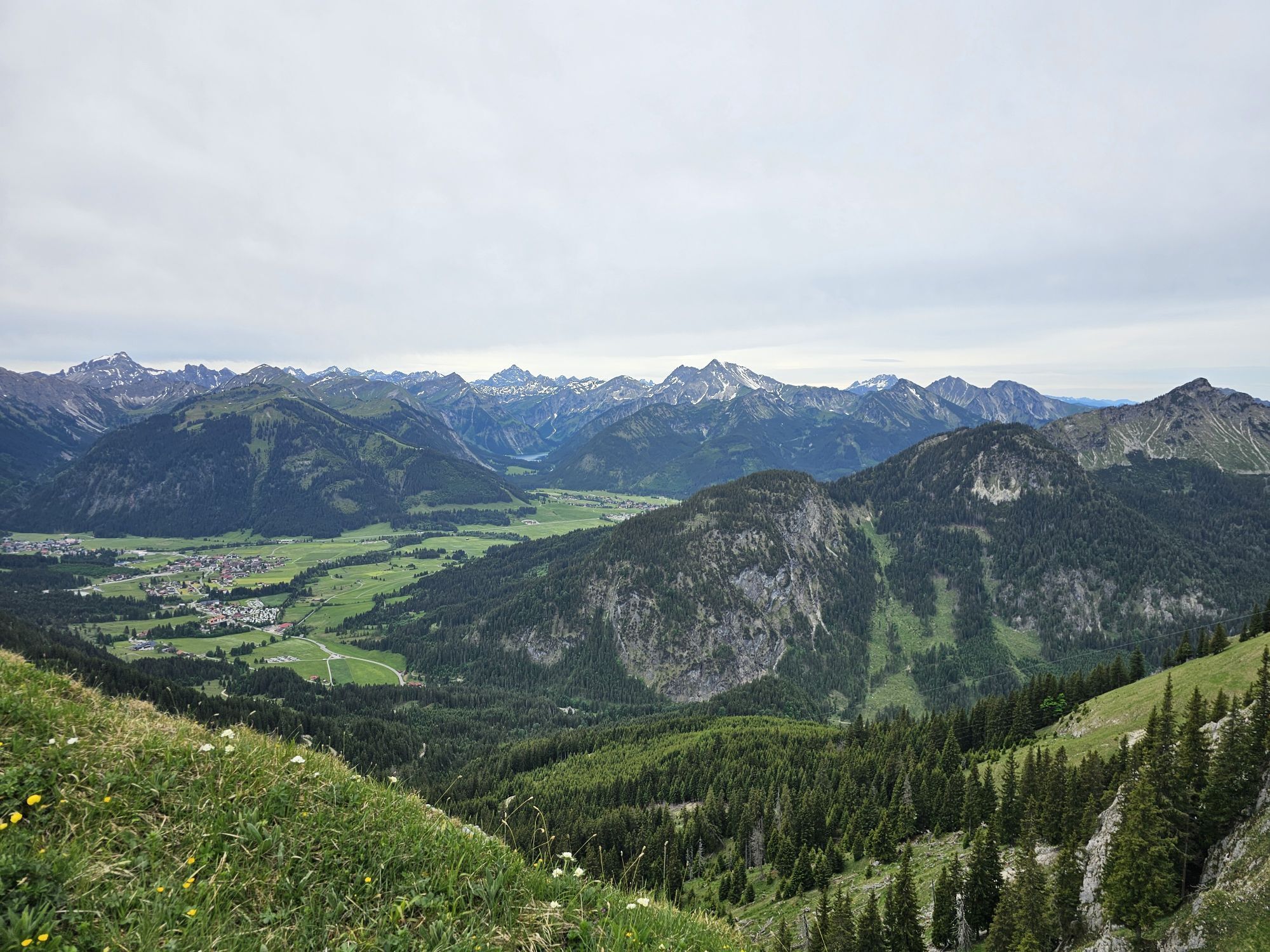
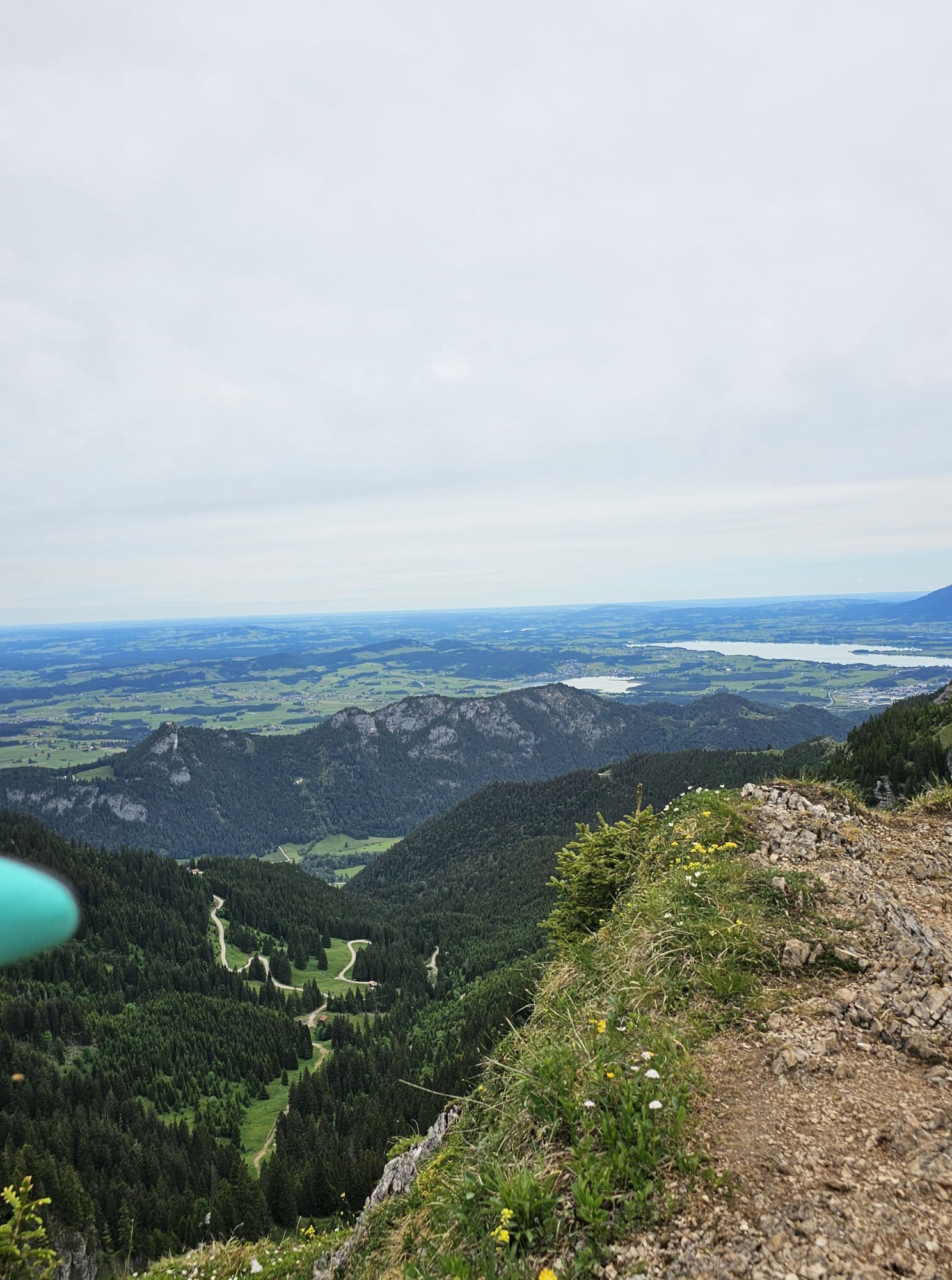
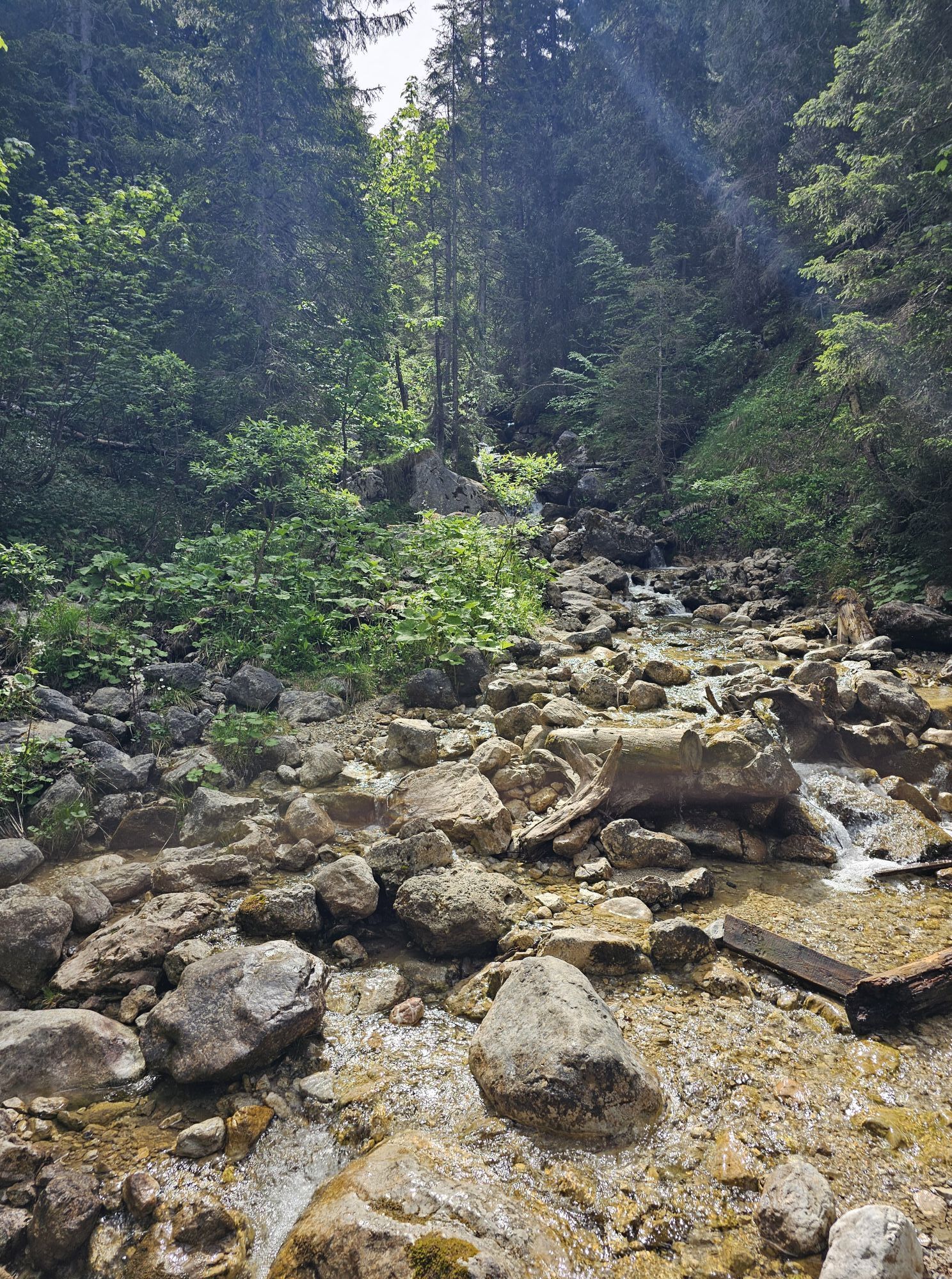
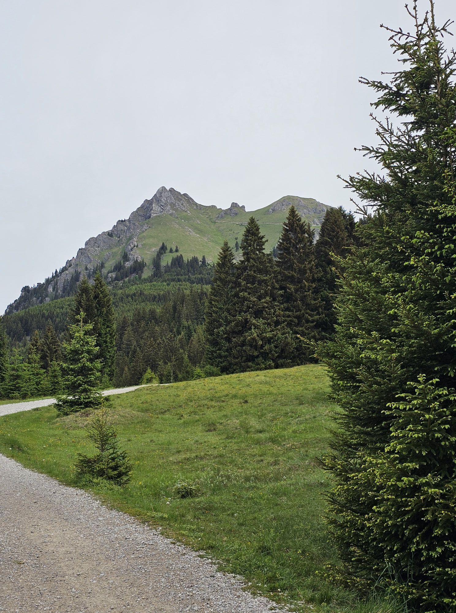
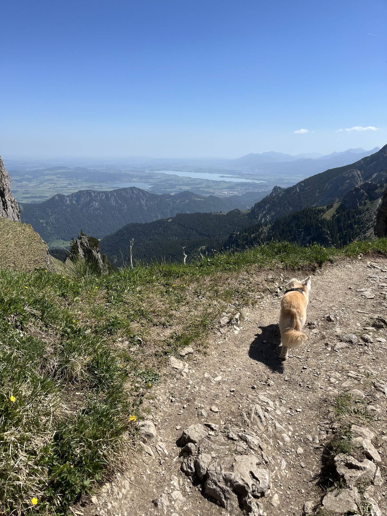
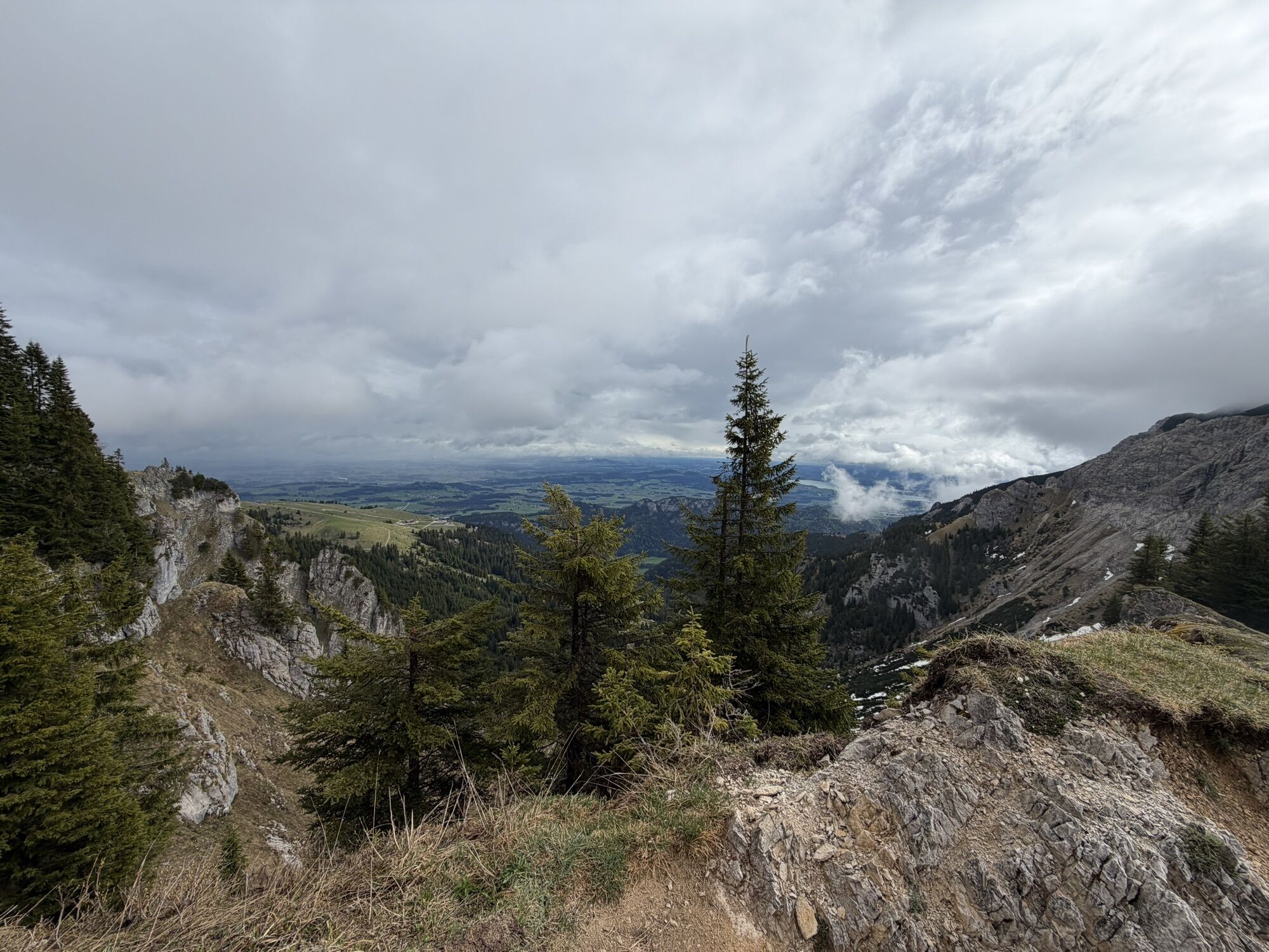
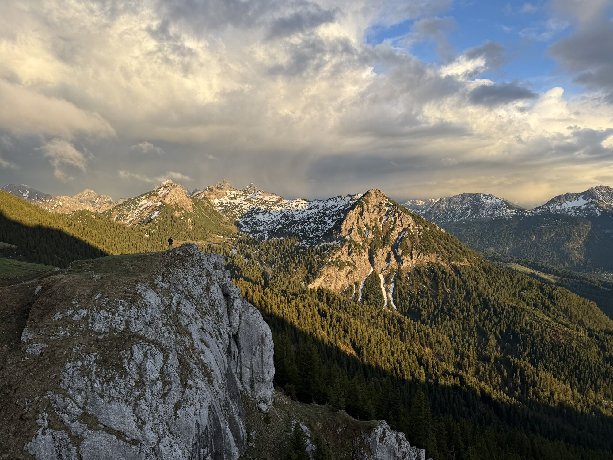
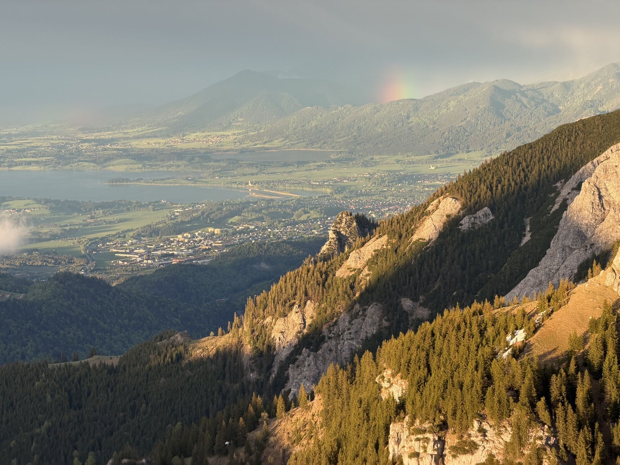
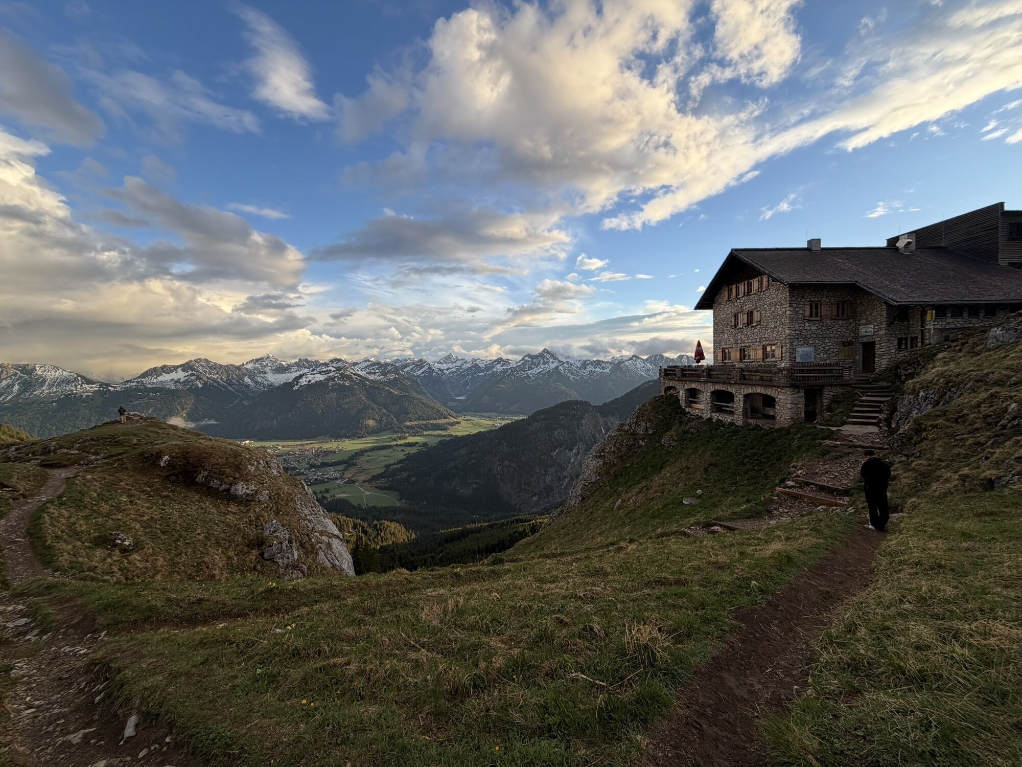
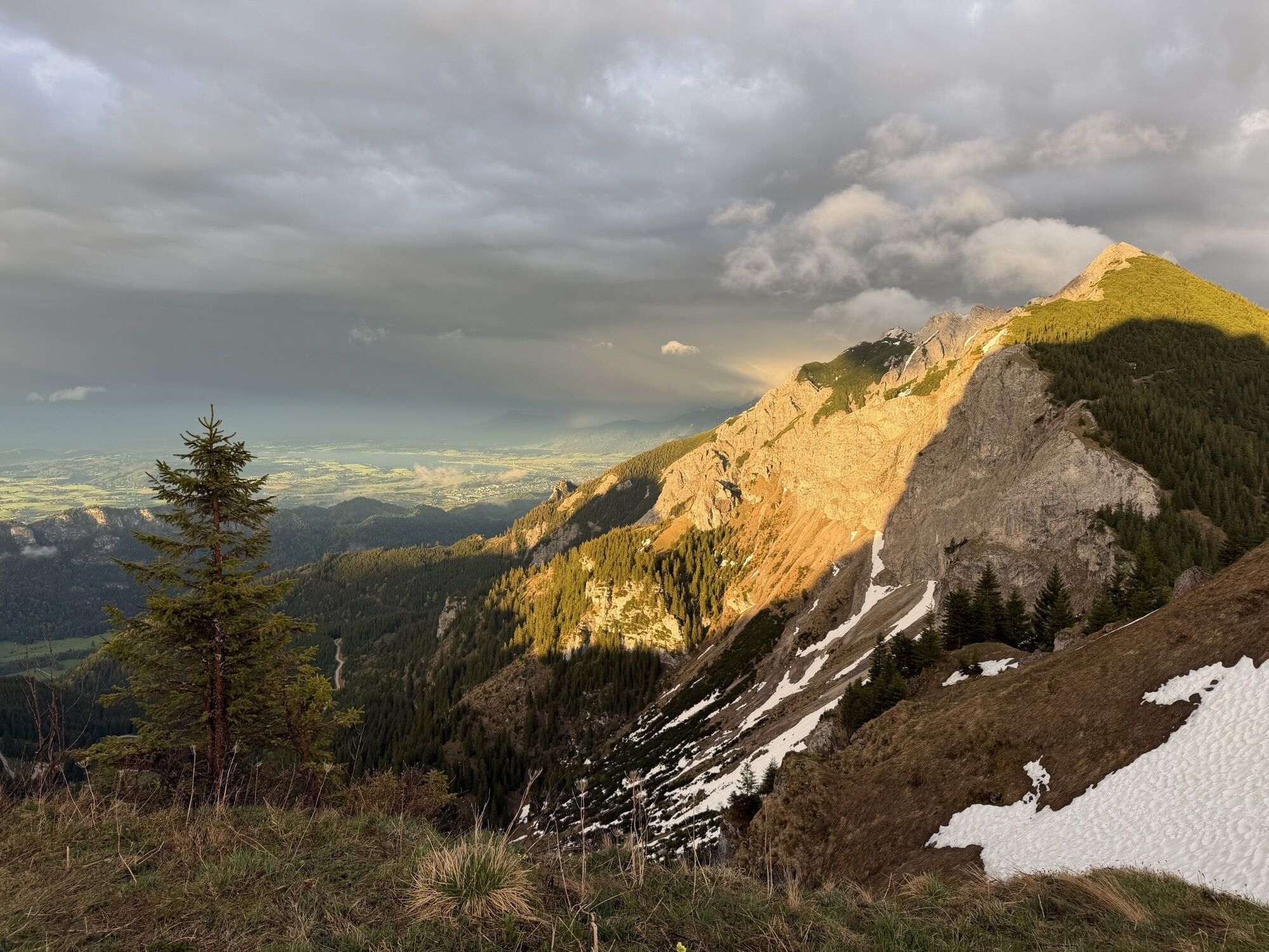
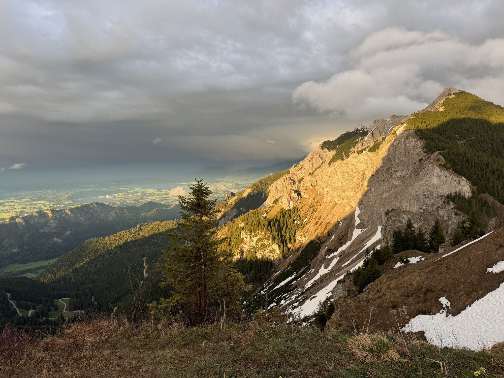
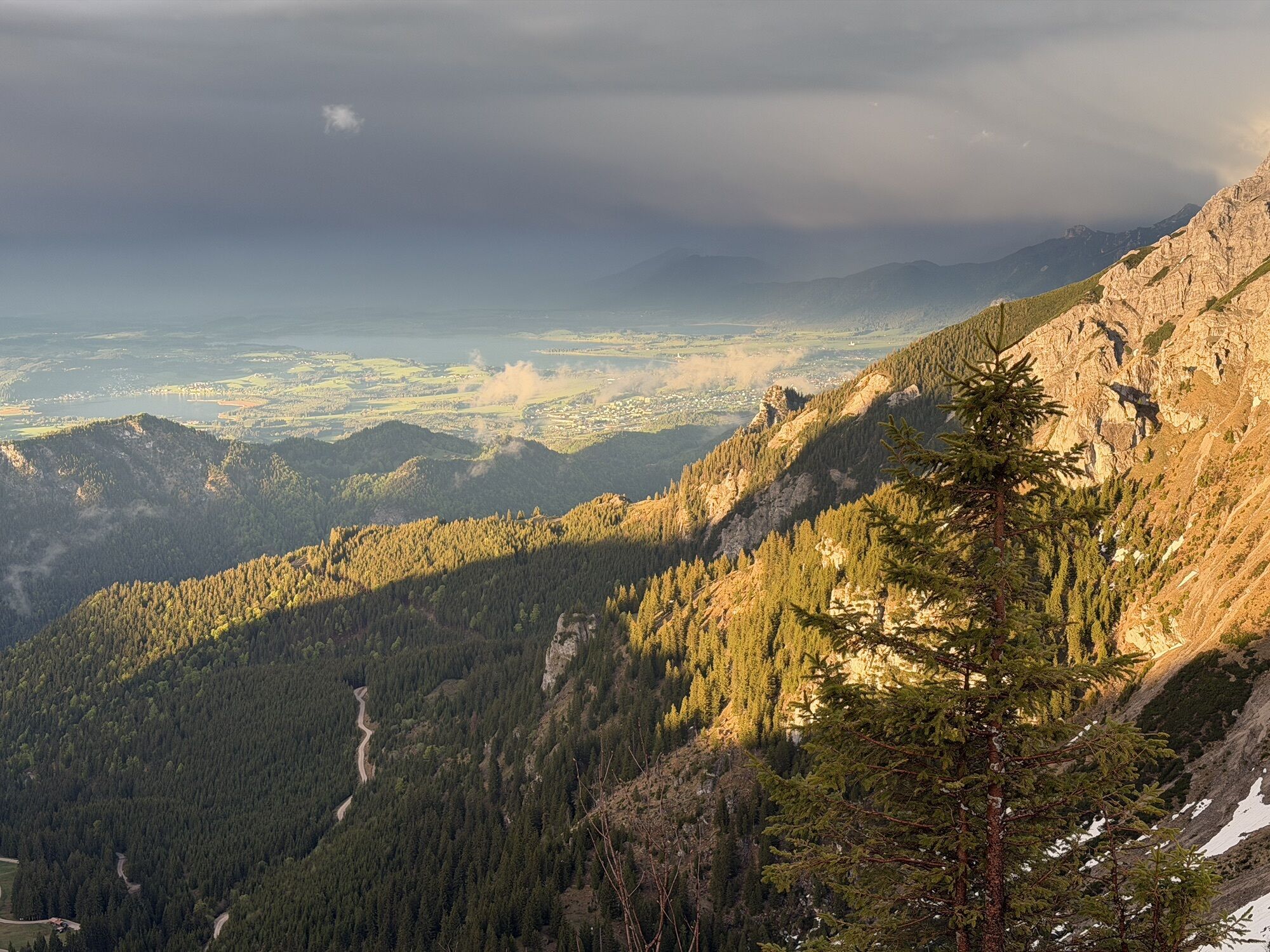
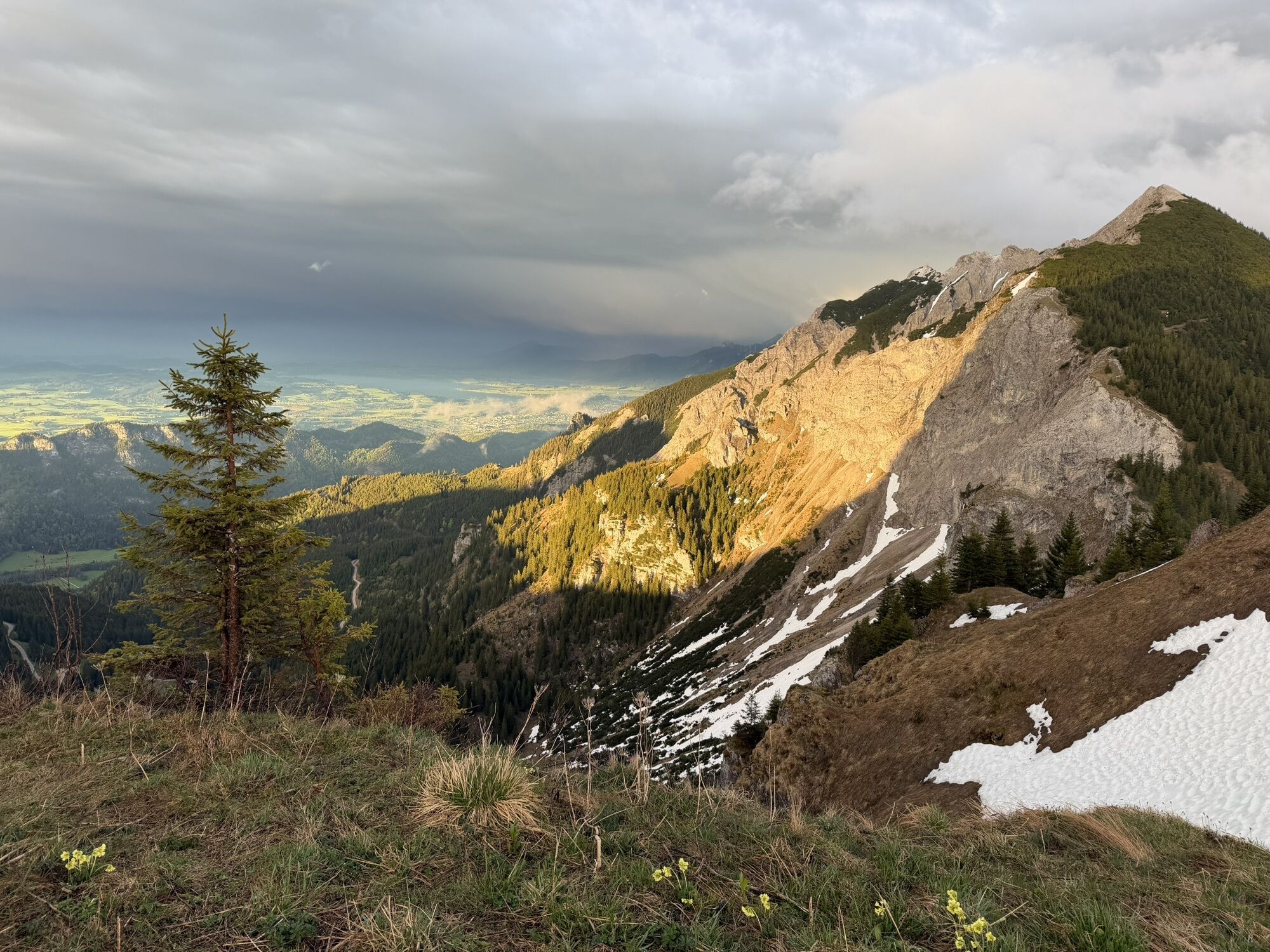
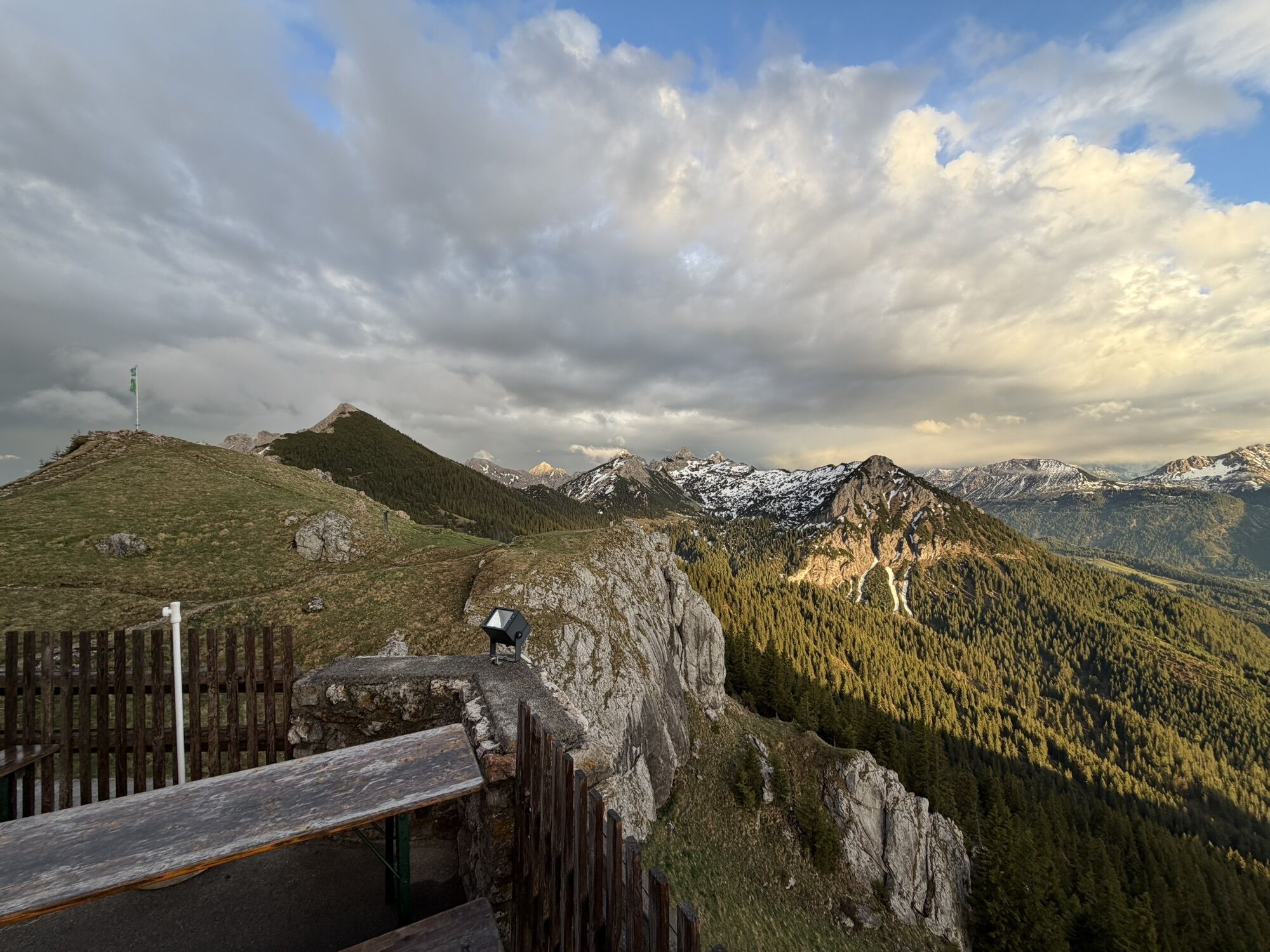
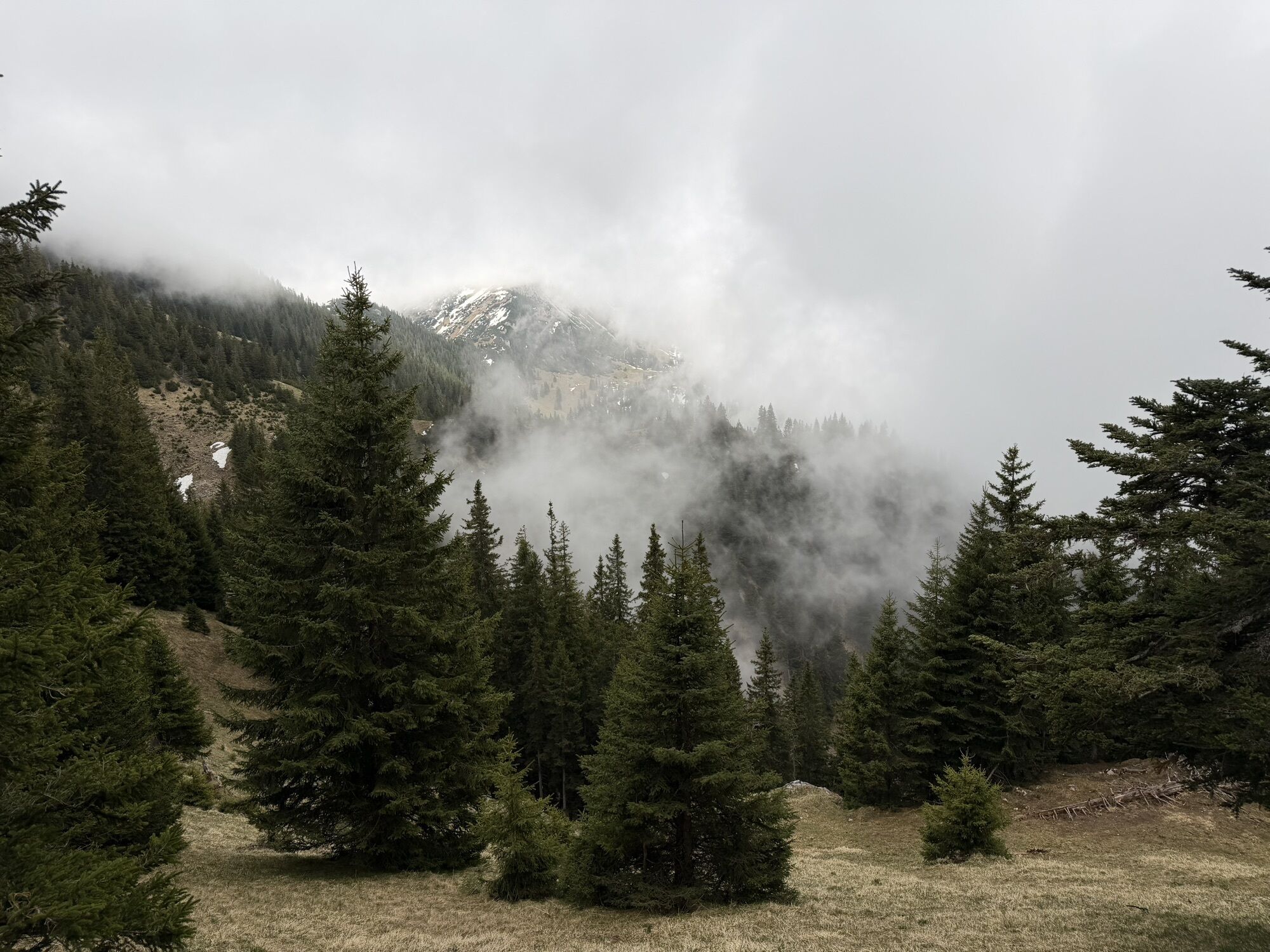
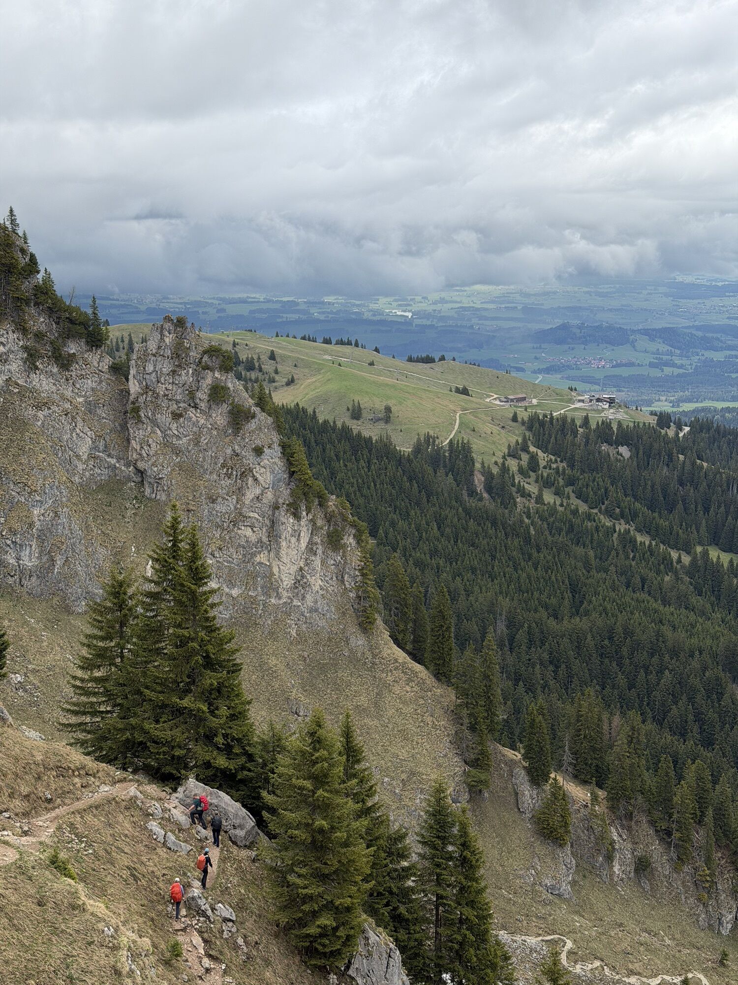
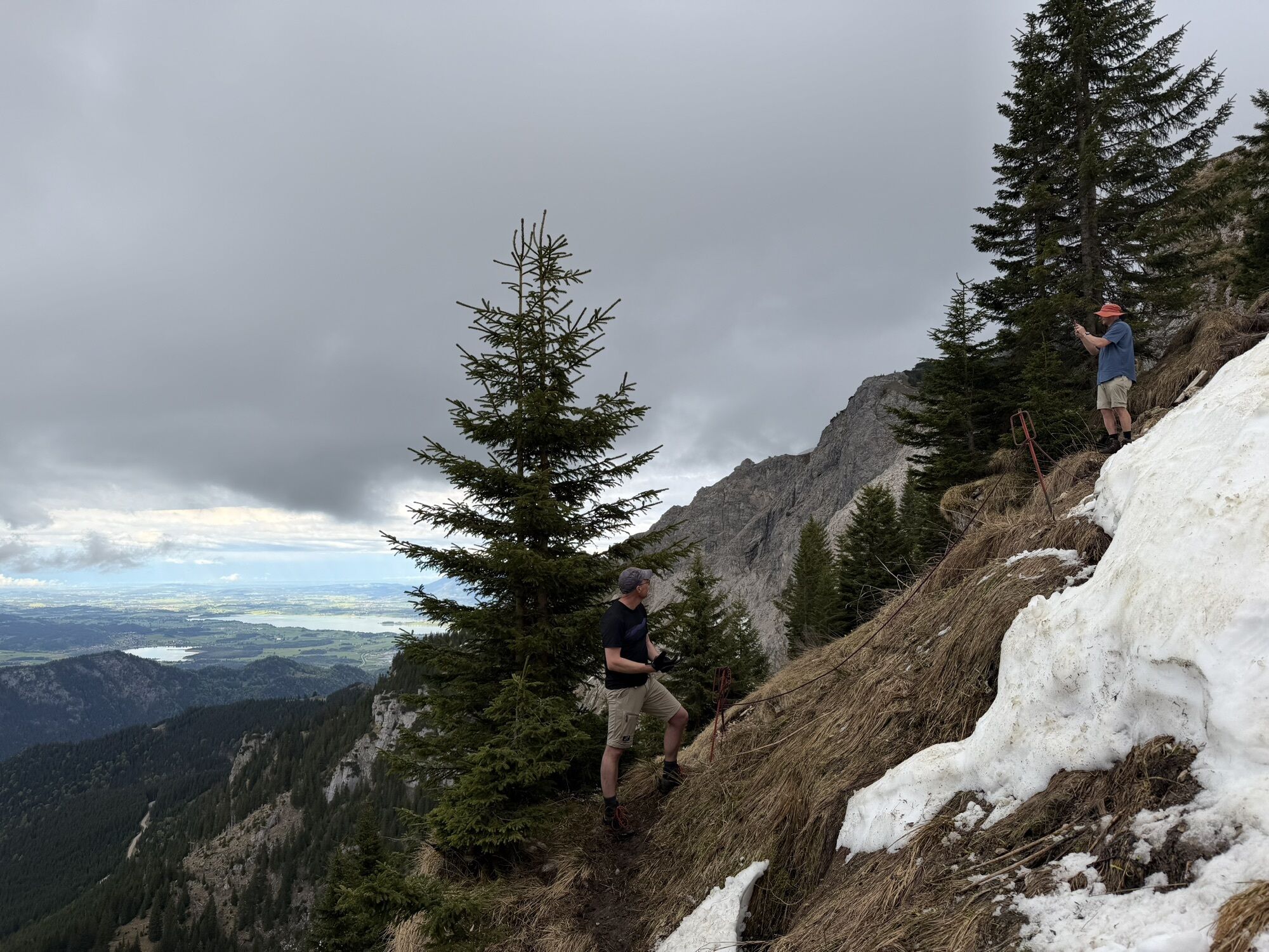
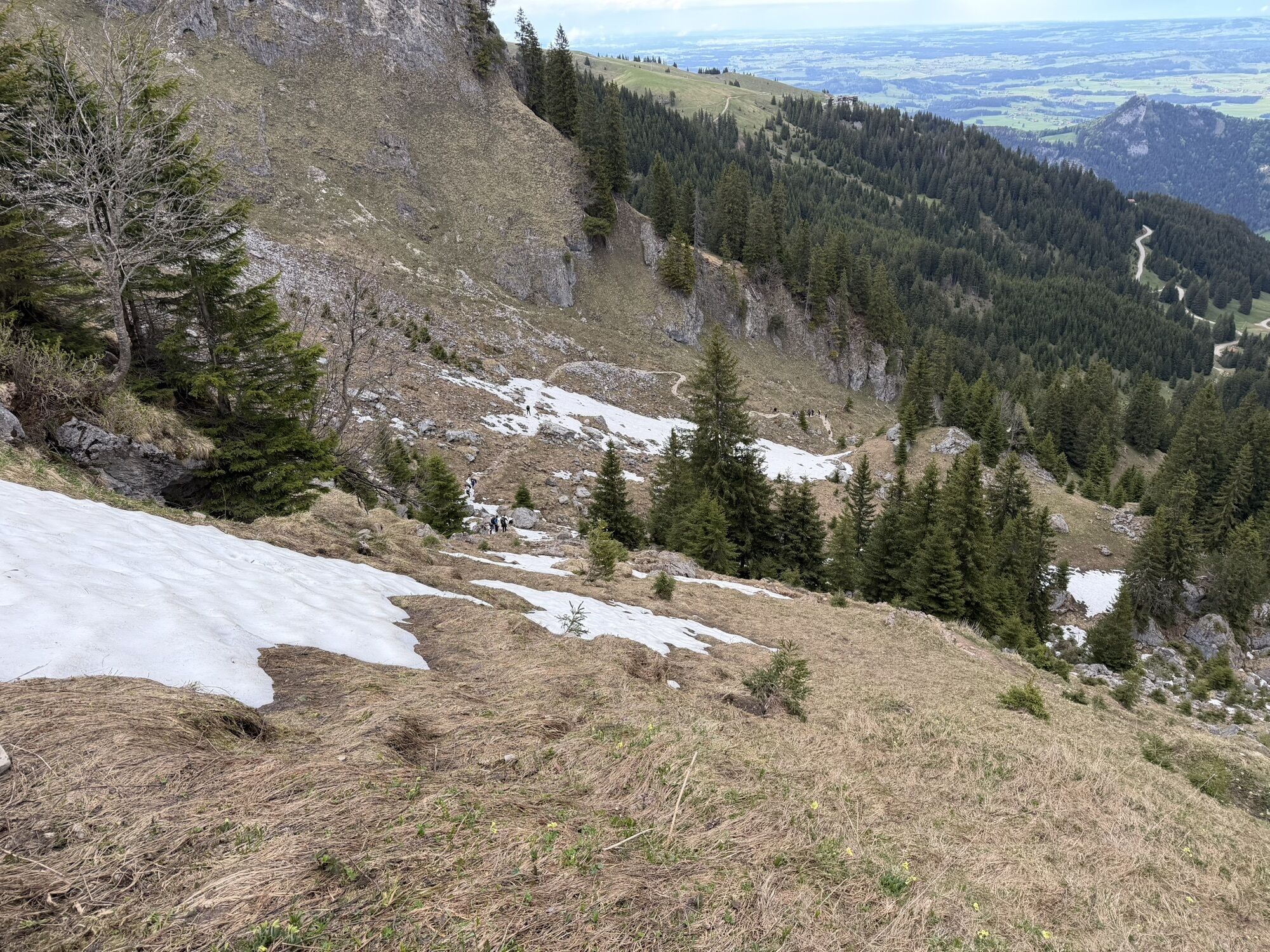
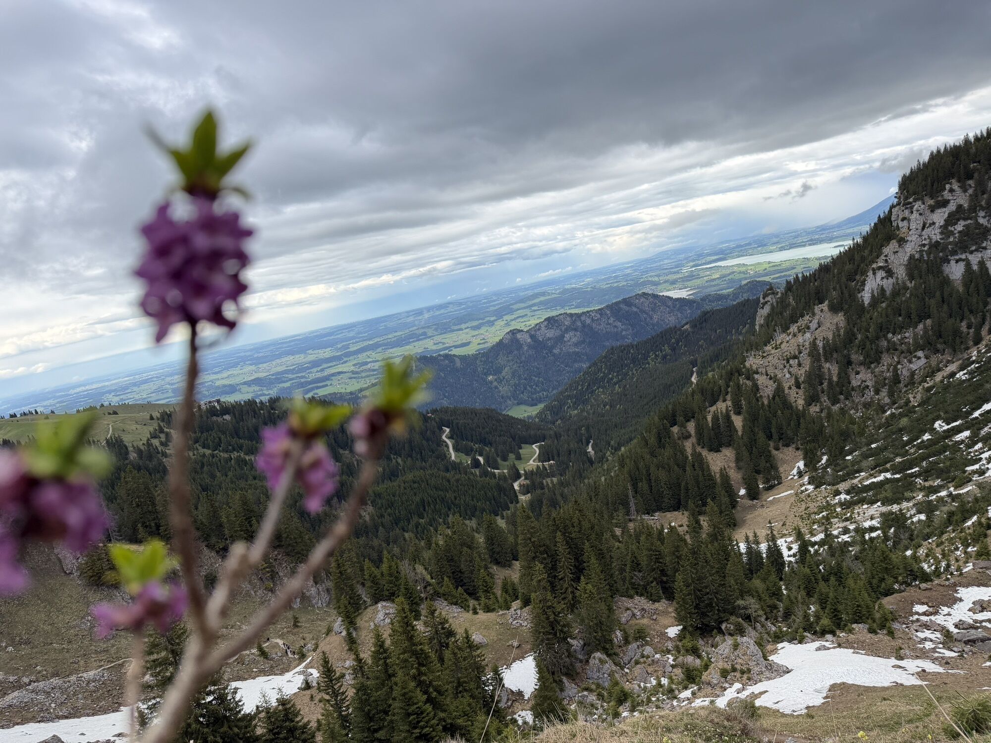
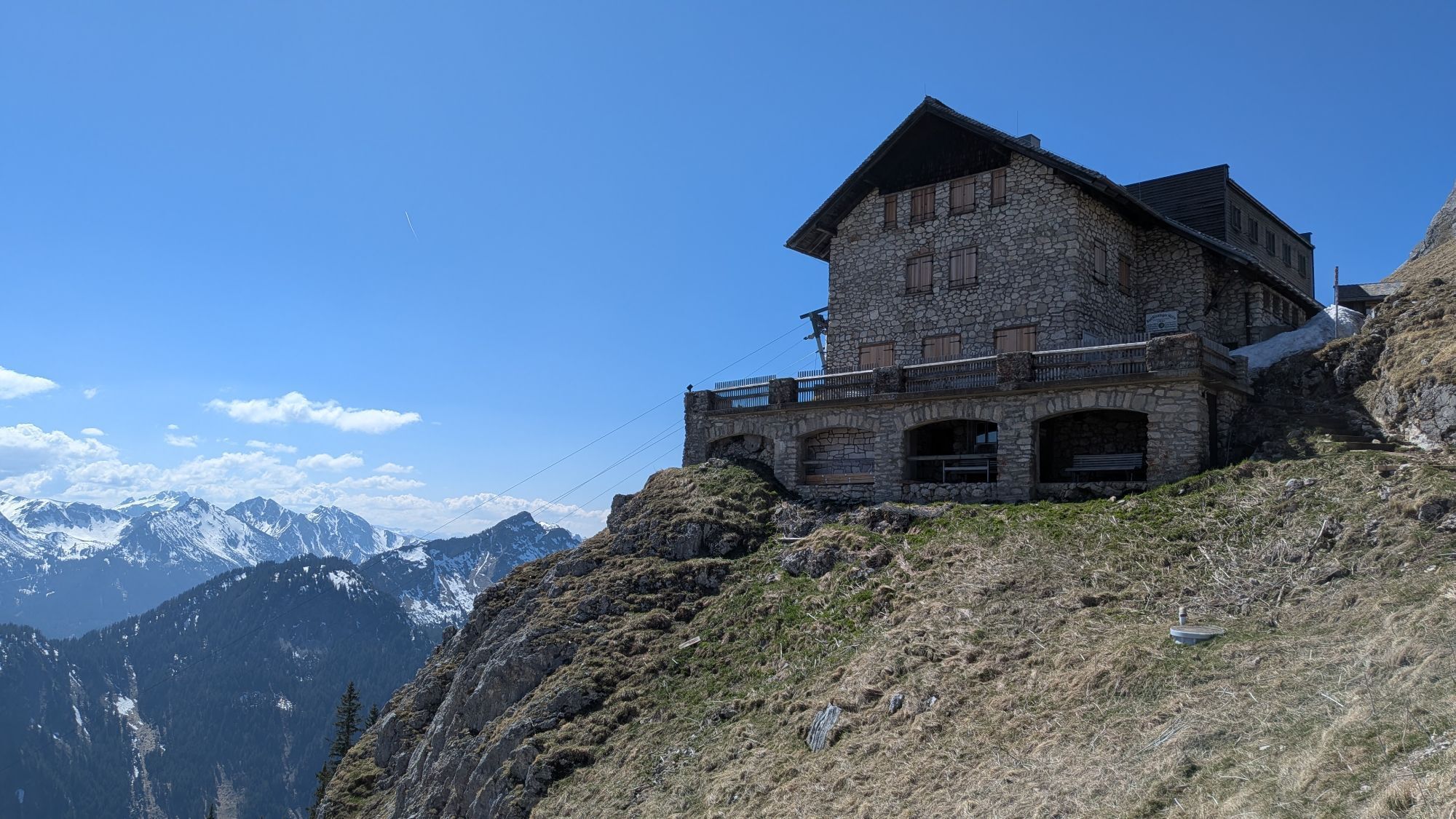
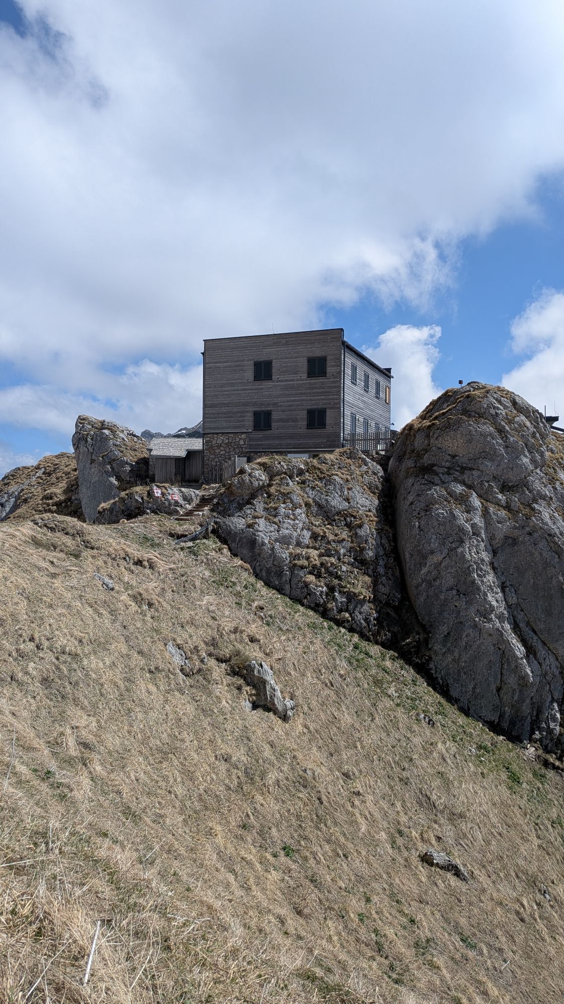
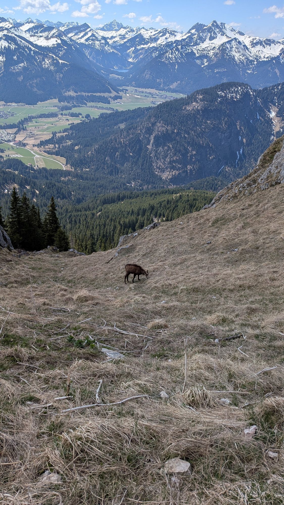
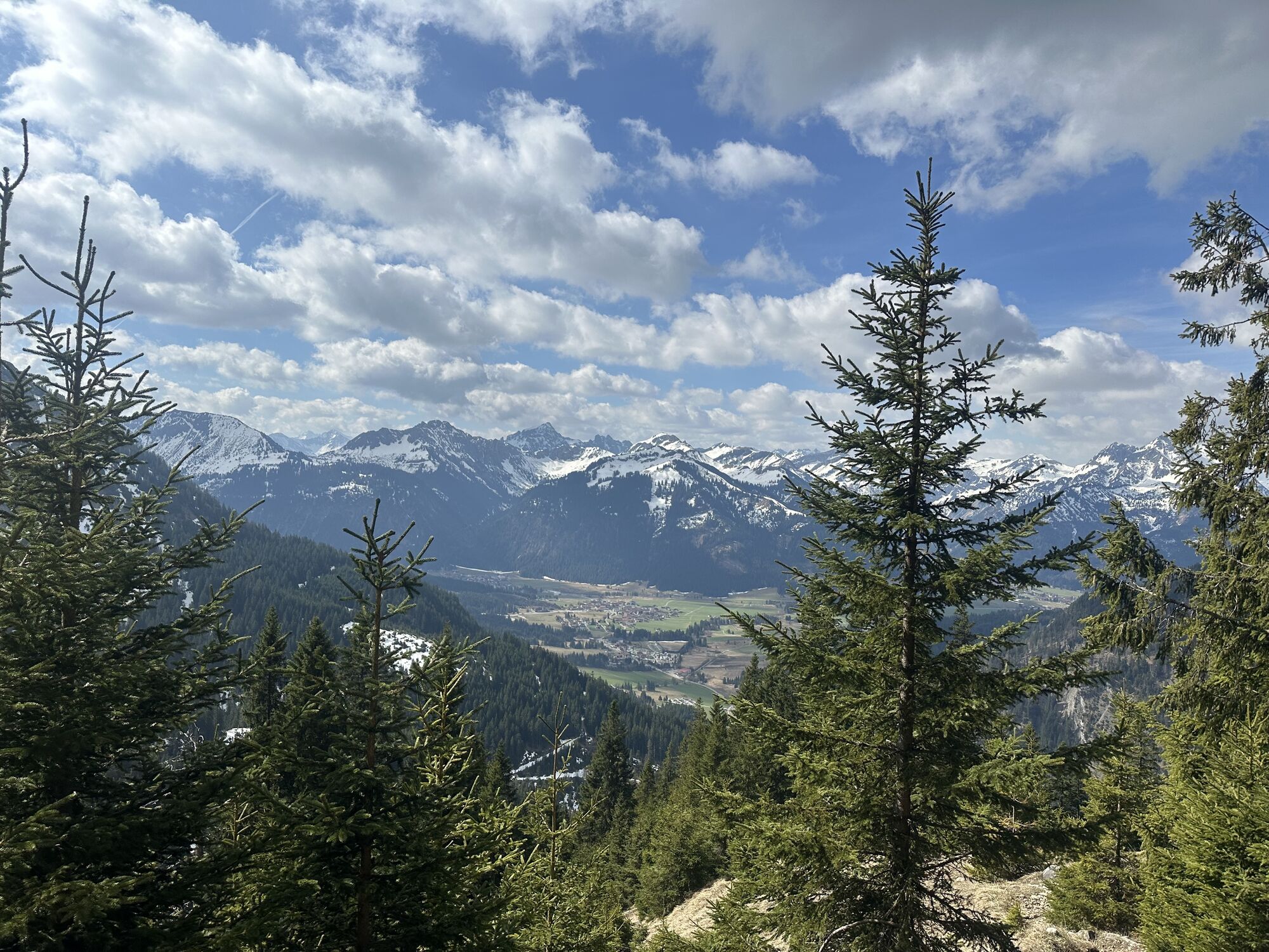
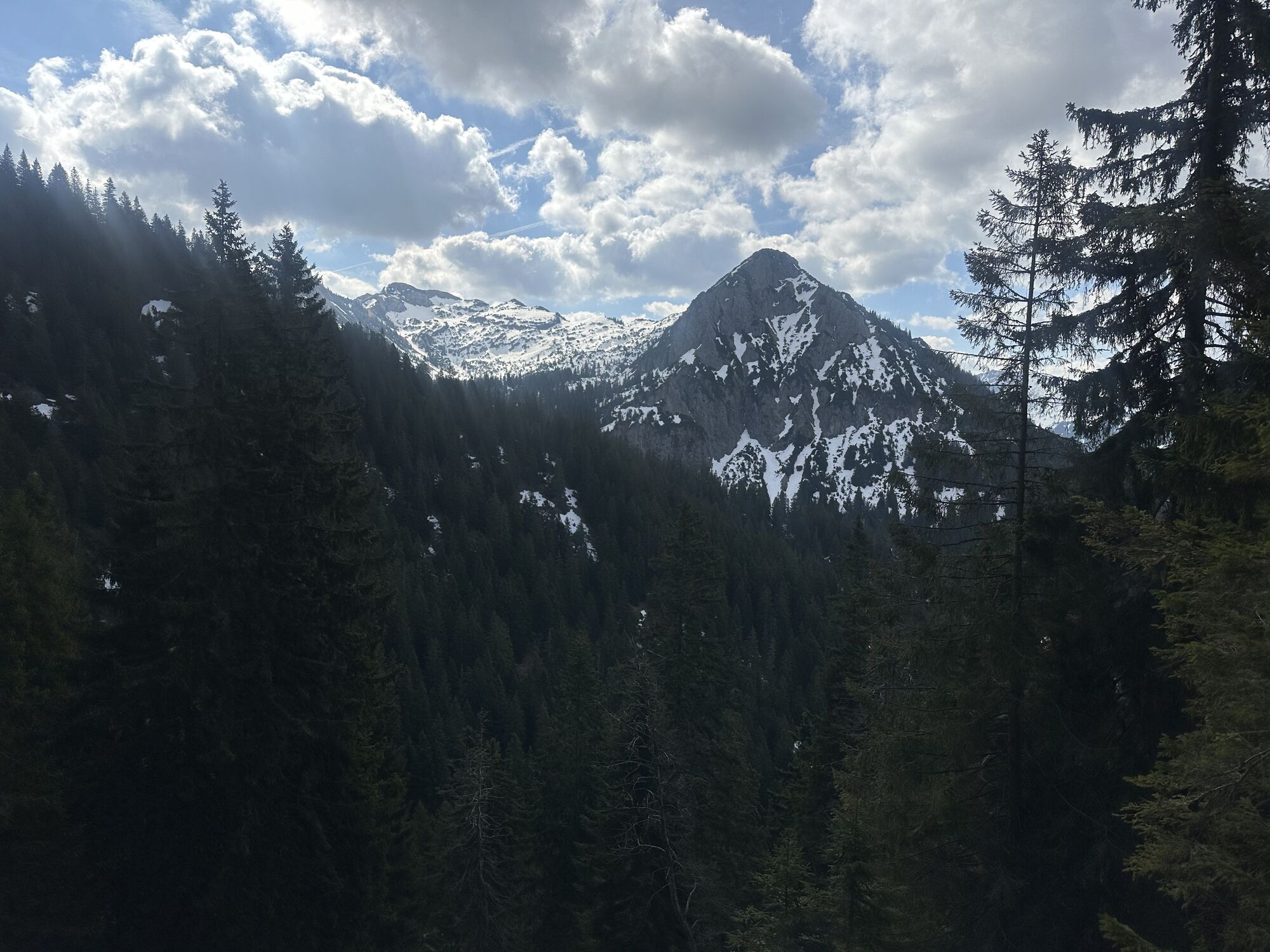
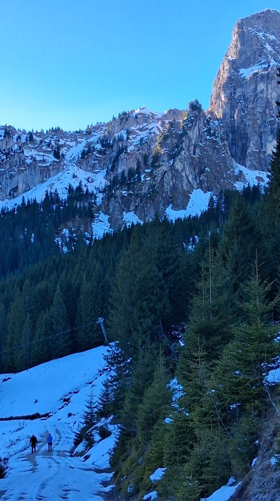
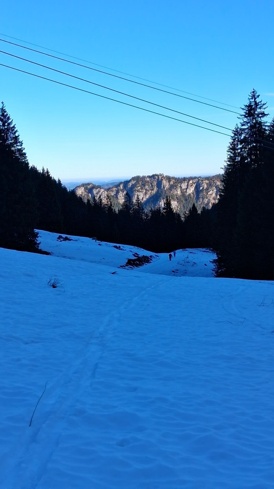
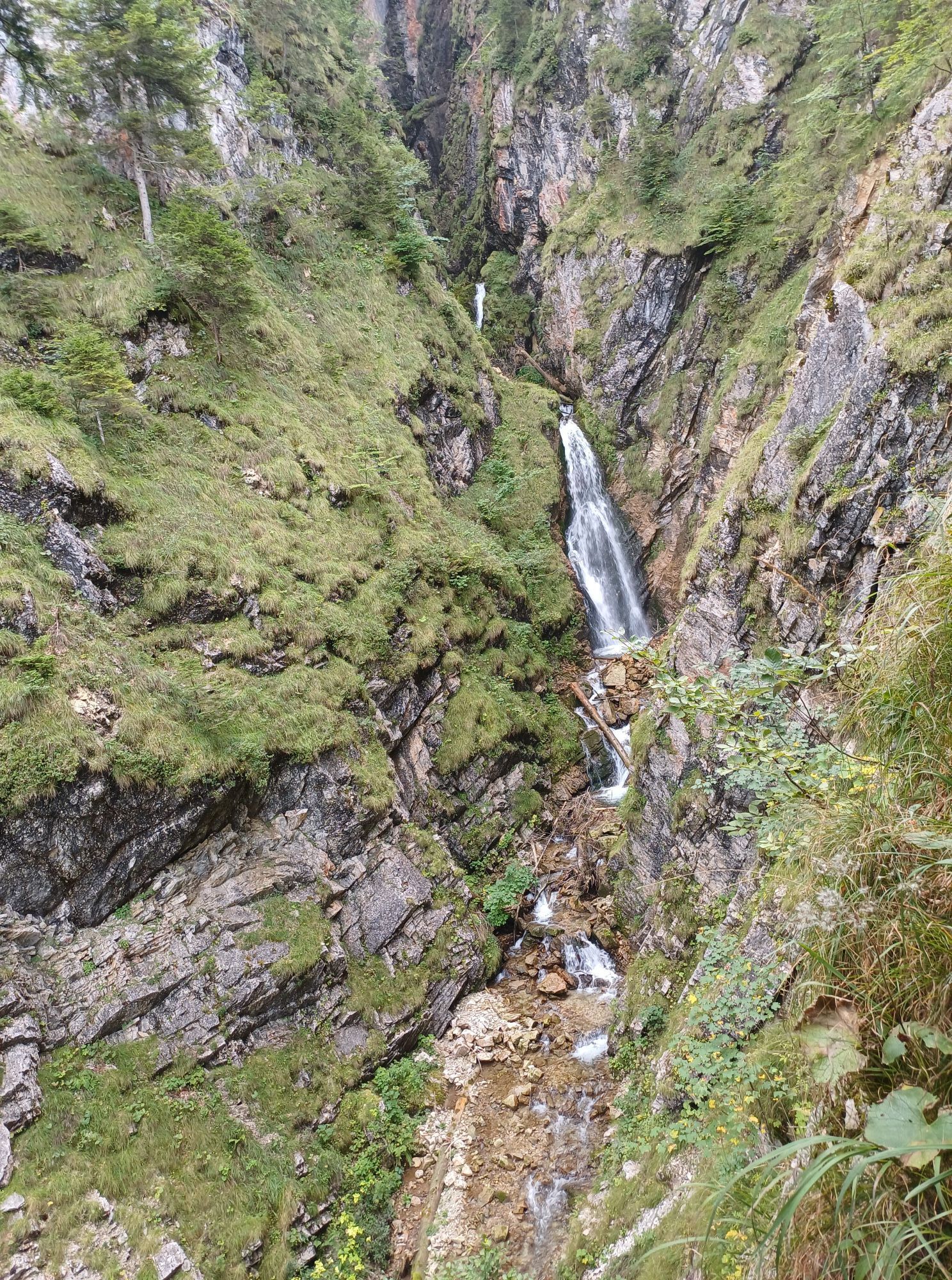
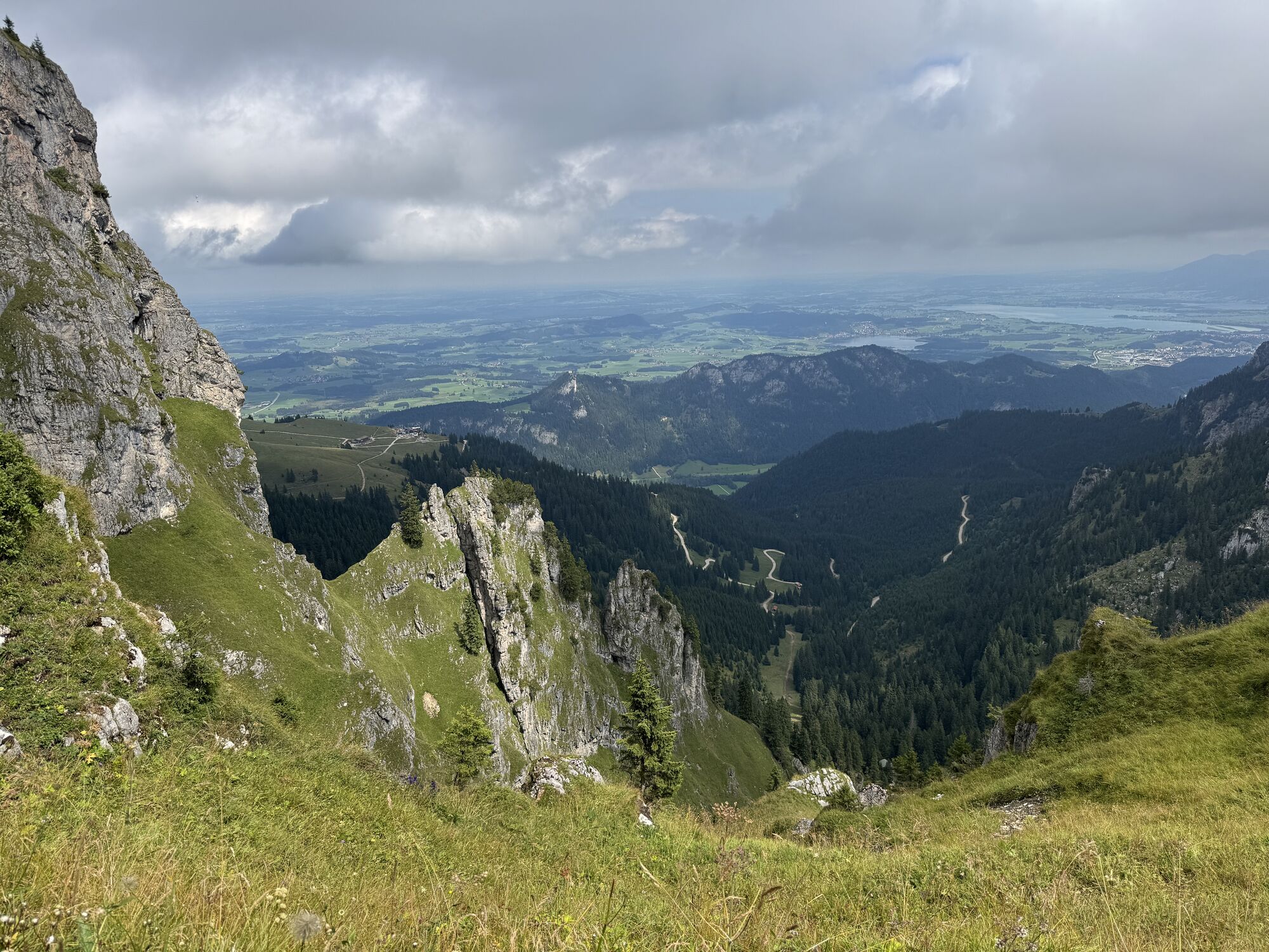
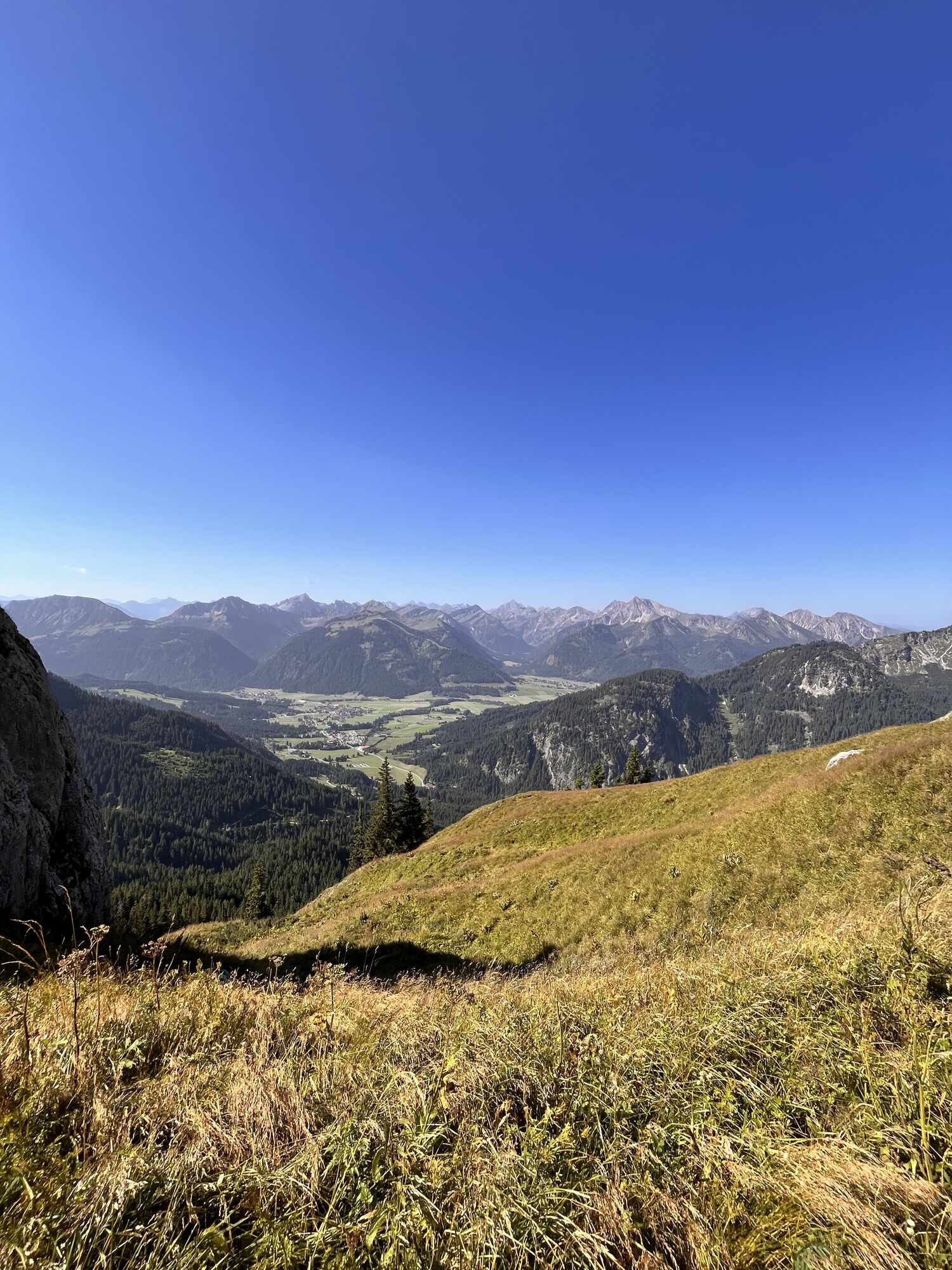
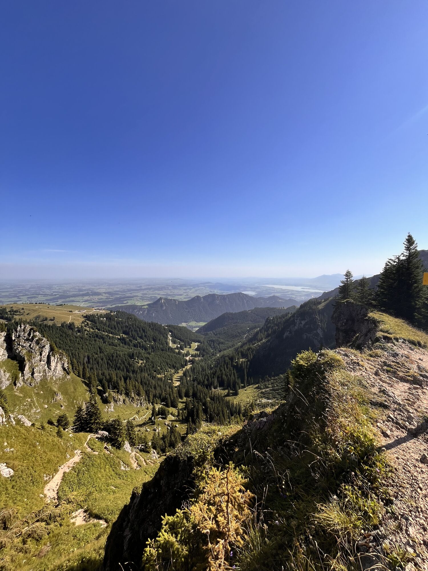
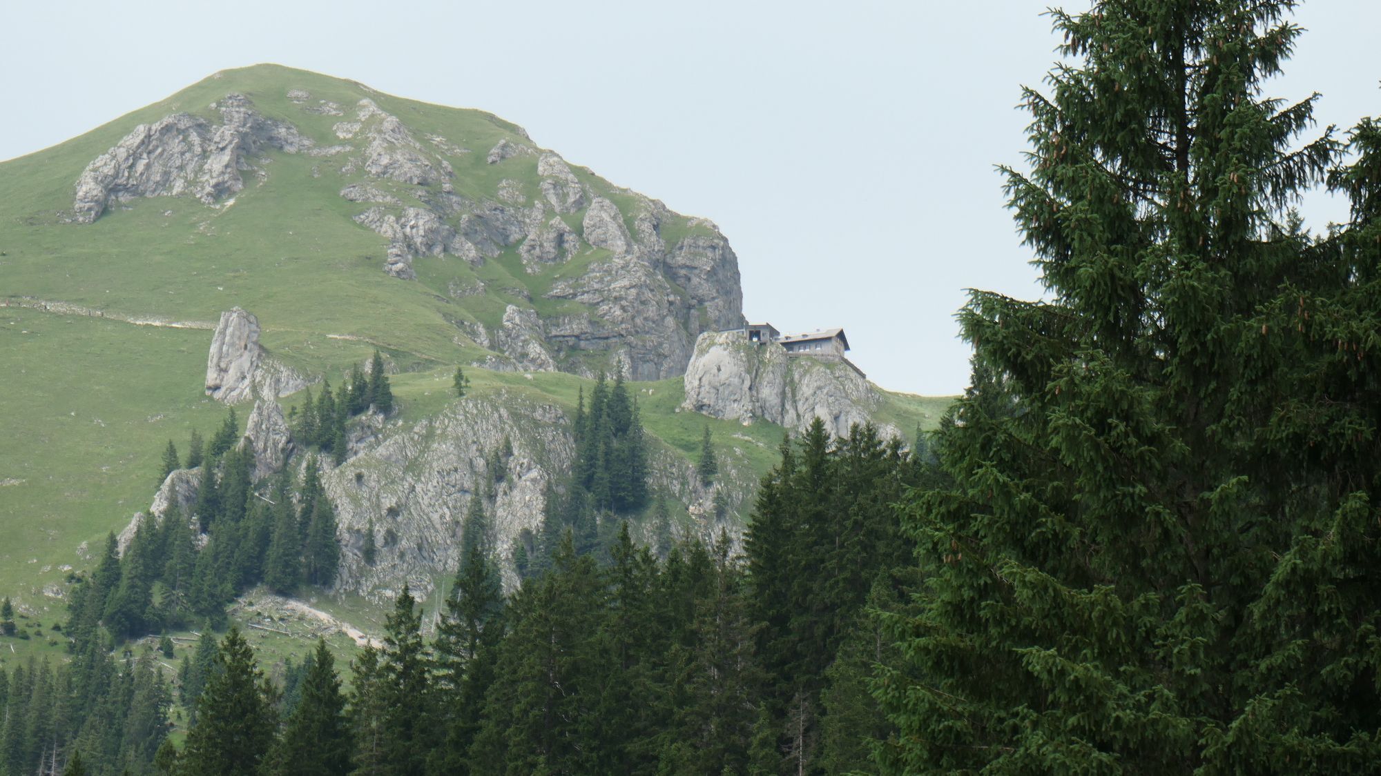
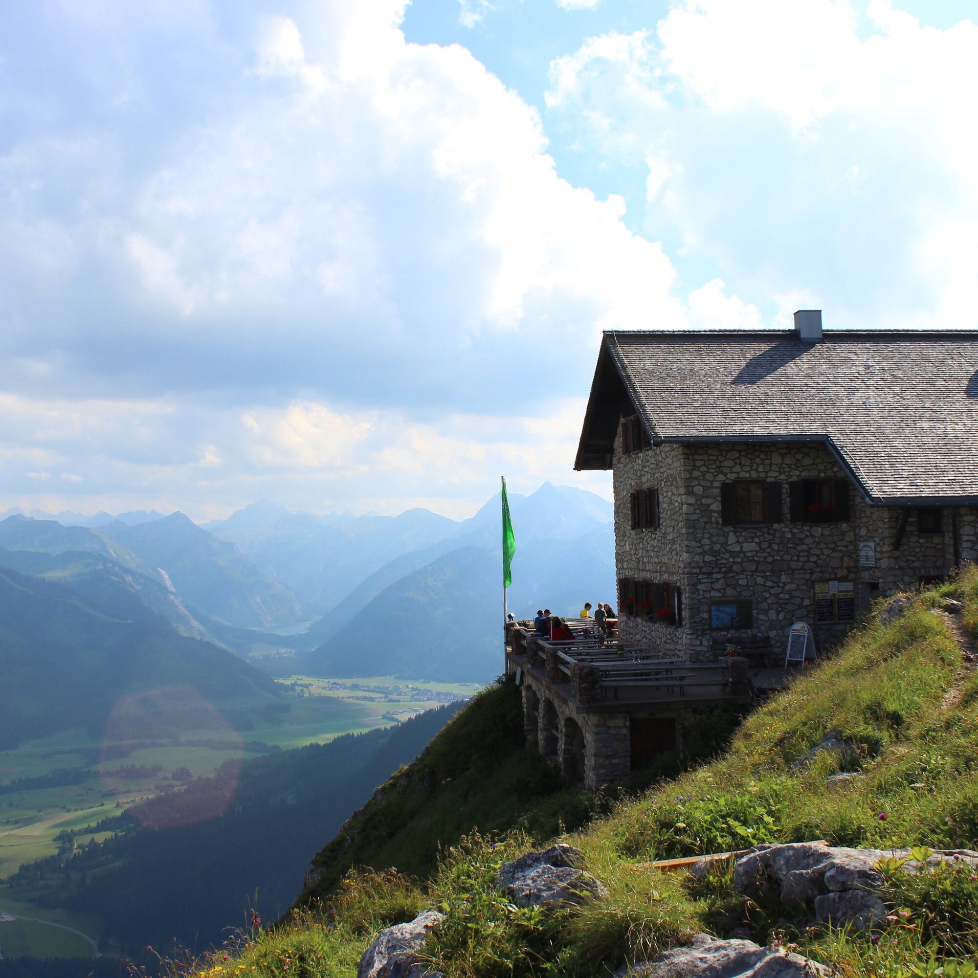
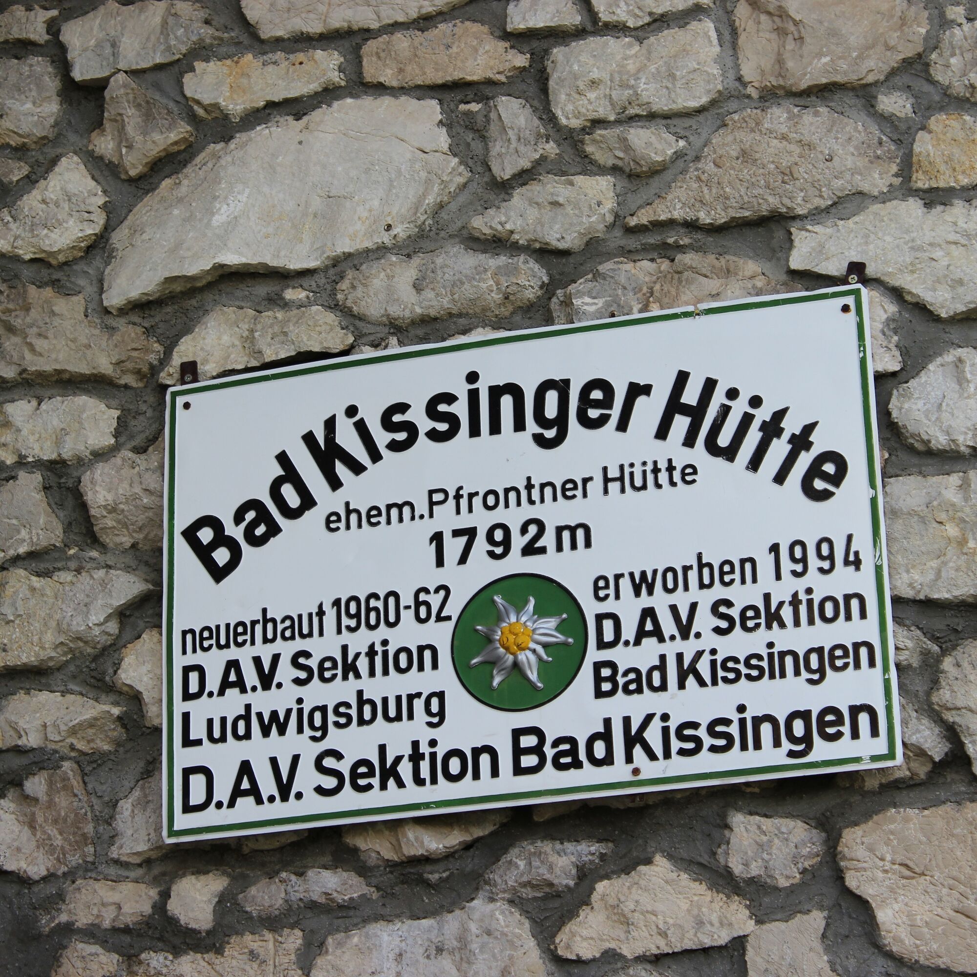
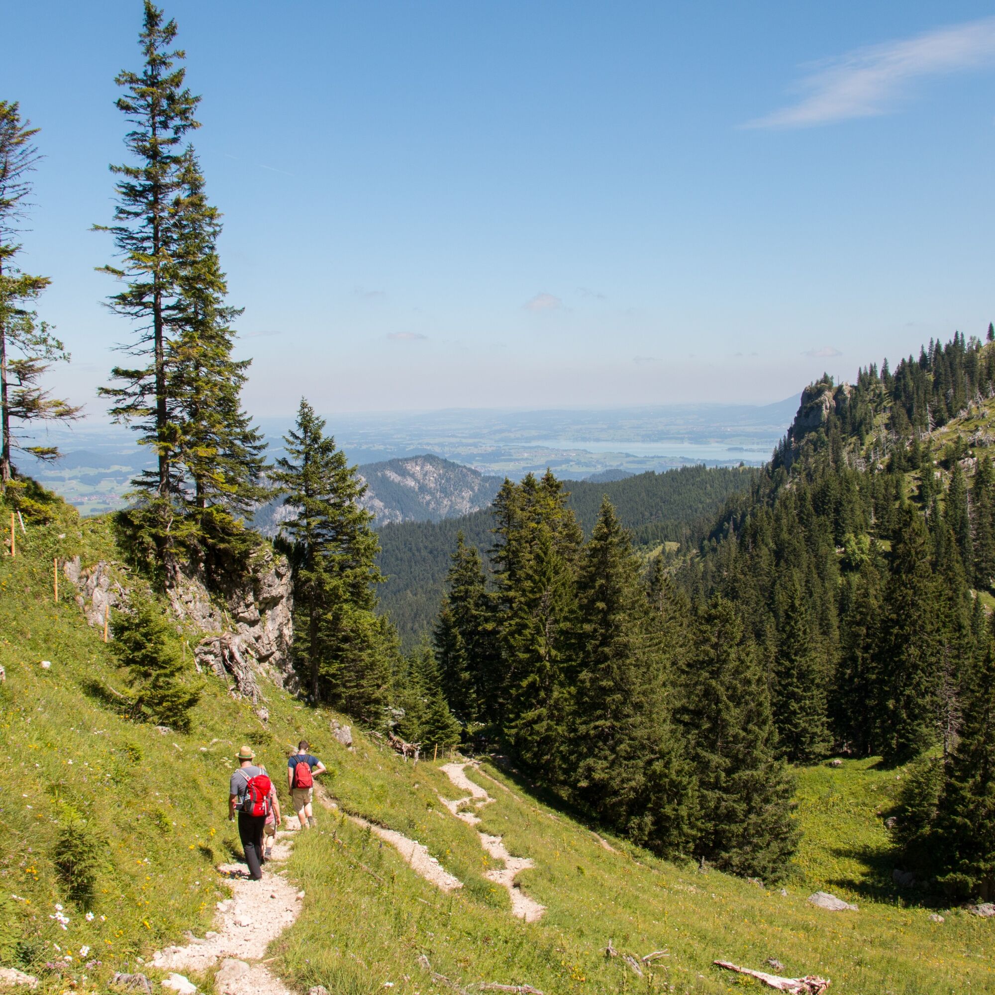
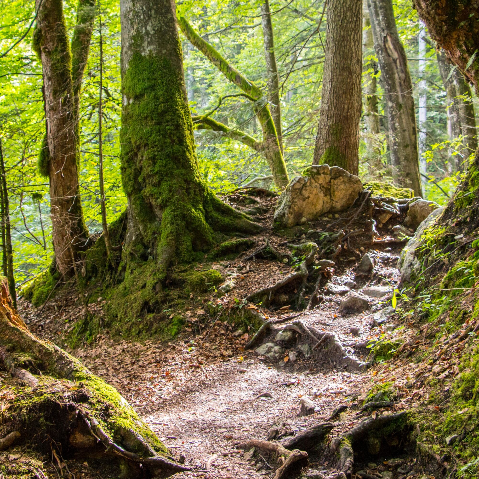
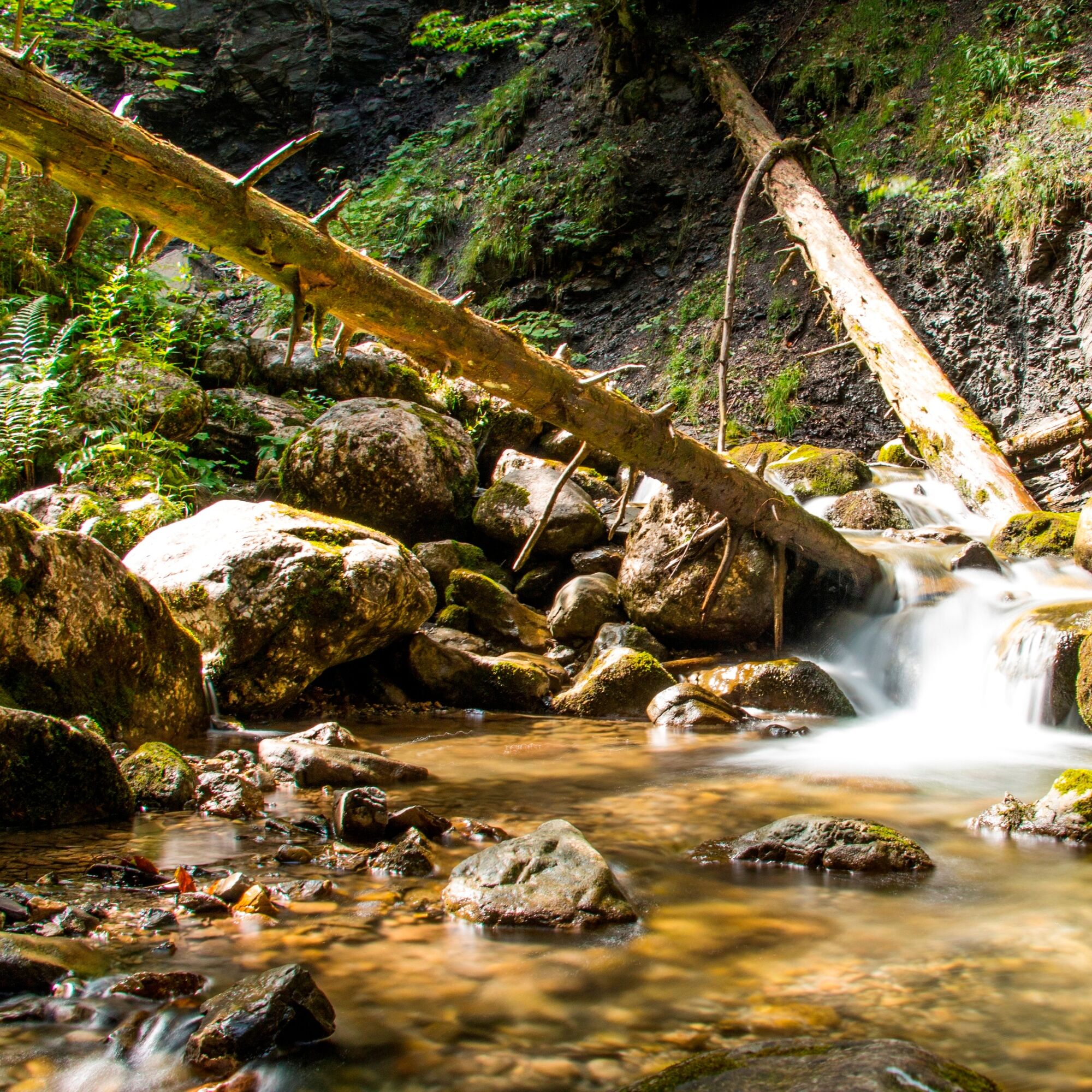
For example, you can get on at the bus stop at the Breitenberg cable car and get off at the "Grän am Lumberg" stop to start the small Alpine crossing. On paths you start your tour back to Pfronten. After about 3.5 km you reach the popular Bad Kissinger hut. Those who wish can plan a detour to the summit of the Aggenstein (the last few meters are secured with a steel cable!). Alternatively, the route continues after a refreshment at the DAV hut towards Breitenberg. Over the "Bösen Tritt" the route winds downhill again, from the Tyrolean Aggenstein back to Allgäuer territory. For a short time you walk on the Hochalpe, the hiking area on the Pfrontener local mountain, before the path leads into the Reichenbach Gorge (alternatively, the Breitenberg cable car brings you back down the valley). Following the mountain stream, you come through the romantically wild ravine (with some sections secured with wire cables) further and further downhill. After leaving the gorge, it is not far to the valley station of the Breitenberg cable car, the start and end point of the hike.

Tak
Sturdy footwear and weather-appropriate clothing as well as sufficient provisions for a mountain tour with a walking time of about 4.5 hours.
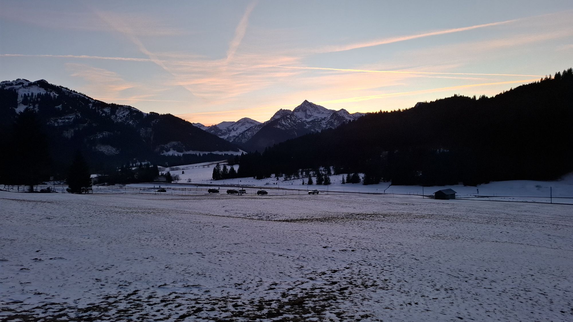
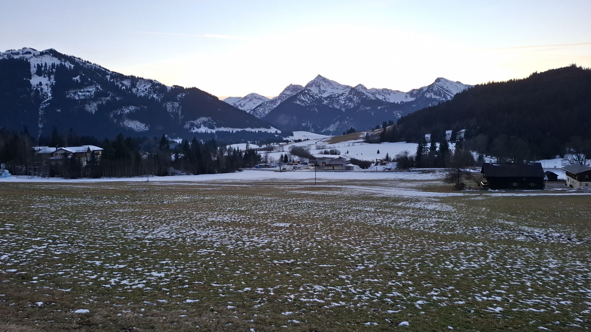
The route starts at the valley station of the Breitenberg cable car - directly opposite the Pfronten-Steinach train station.
Ample parking spaces are available directly at the Breitenberg cable car and the opposite Pfronten-Steinach train station.
T3
Information on the Tälersbus schedules can be found at www.pfronten.de. The Tälersbus connects the Pfronten and Tannheimer valleys from 08.05. to 13.10.2024.
With the Tälersbus, hikers travel from 08.05. to 13.10.2024 from the Tannheimer Valley to the Pfronten Valley and back.
Kamery internetowe z trasy
-
Tannheim
-
Neunerköpfle Mittelstation
-
Haldensee - Neunerköpfle
-
Skizentrum Steinach / Pfronten
-
Breitenberg Bergstation
-
Kesselmoos und Hochalpbahn
-
Pfronten-Halden / Hotel Zugspitzblick
-
Pfronten - Boutique Hotel Blaue Burg Falkenstein
-
Grän - Almdorf Tirol
-
Pfronten - Ostlerhütte
-
Grän - Hotel Bergblick
-
Füssener Jöchle Bergstation
-
Tannheimertal
-
Füssen Appartementhotel Seespitz
-
Breitenbergbahn - Pfronten
-
Pfronten - Skizentrum
-
Haller
-
Gundhütte - Tannheimertal
-
Talstation Neunerköpfle - Tannheim
Aktywności na trasie
-

Pfronten, Bayern/Deutschland
16.05.2026 – Wędrówka -

Vils, Tirol/Österreich
07.05.2026 – Wędrówka -
Pfronten, Bayern/Deutschland
06.05.2026 – Wędrówka -

Grän, Tirol/Österreich
18.04.2026 – Wędrówka -

Pfronten, Bayern/Deutschland
02.04.2026 – Wędrówka -

Pfronten, Bayern/Deutschland
16.12.2025 – Wędrówka -

Grän, Tirol/Österreich
20.10.2025 – Wędrówka
Popularne wycieczki w okolicy
-
4,8
Around Weißensee
światłoWędrówka 6,12 km -
5,0
Hiking tour to Breitenberg
ciężkiWędrówka 15,6 km -
5,0
Gemeinde Grän, Tirol/Österreich Aggenstein Rundtour über Höhenweg
średniWędrówka 9,84 km -
4,4
Höllschlucht hike » Water & Forest
średniWędrówka 7,38 km -
4,8
Tannheim / Vilsalpsee / Landsberger Hütte
średniWędrówka 15,7 km -
4,3
Three-lake route (awarded the Tyrolean Hiking Trail Seal of Quality)
średniWędrówka 14,8 km -
4,8
3-Gipfel-Tour
średniWędrówka 11,2 km -
4,8
Iseler und Kühgundkopf
średniWędrówka 7,63 km -
4,6
3-Seen Rundtour Vilsalpsee / Schrecksee / Traualpsee
średniWędrówka 17,1 km -
4,3
Schloß Neuschwanstein und Schwanensee Schwangau, Bayern
średniWędrówka 9 km
Wędrówki i tropienie


Nie przegap ofert i inspiracji na następne wakacje
Twój adres e-mail została dodana do listy mailingowej.