





From Tulfeinalm to the Glungezer summit
Poziom trudności: T2
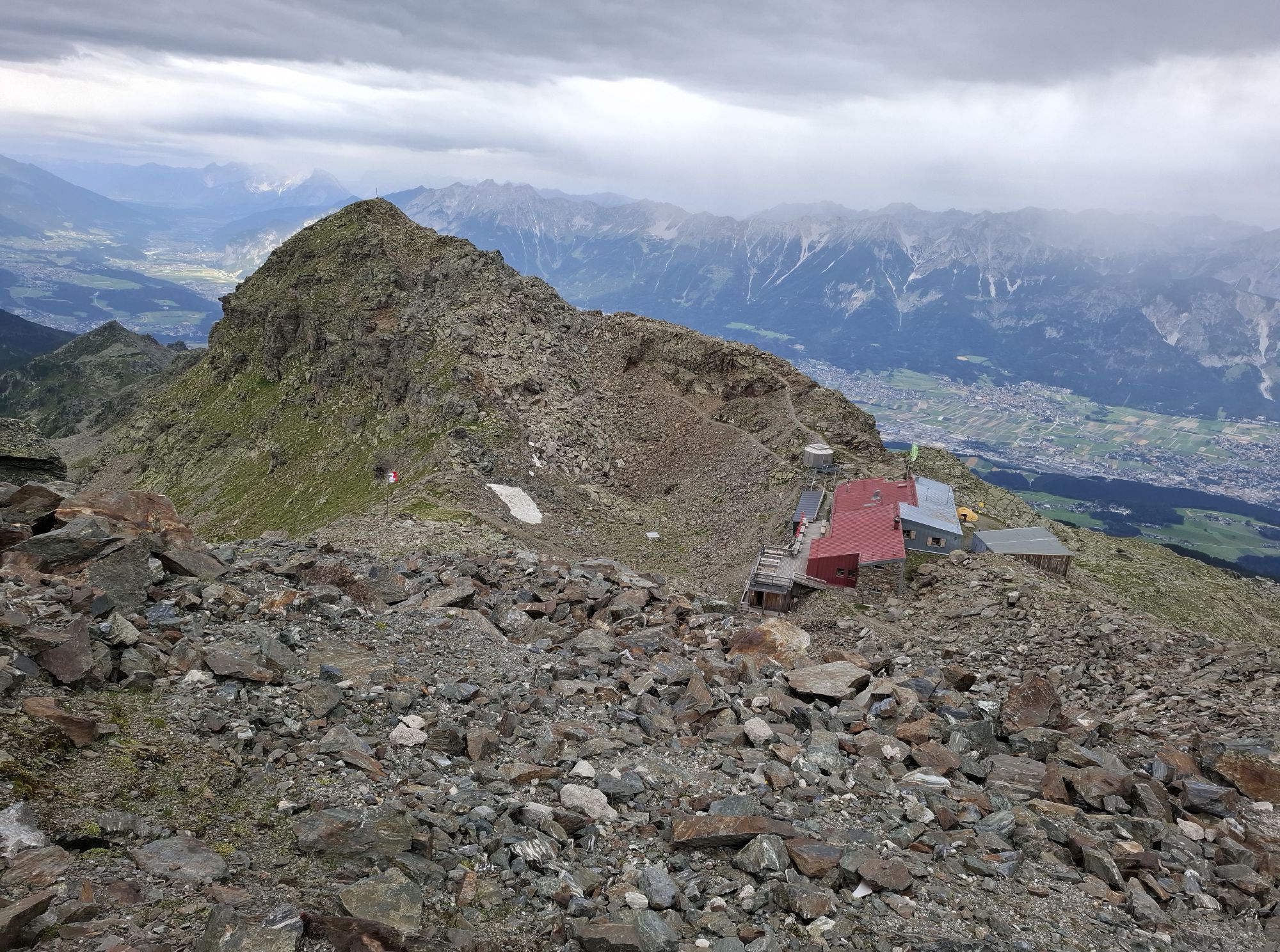
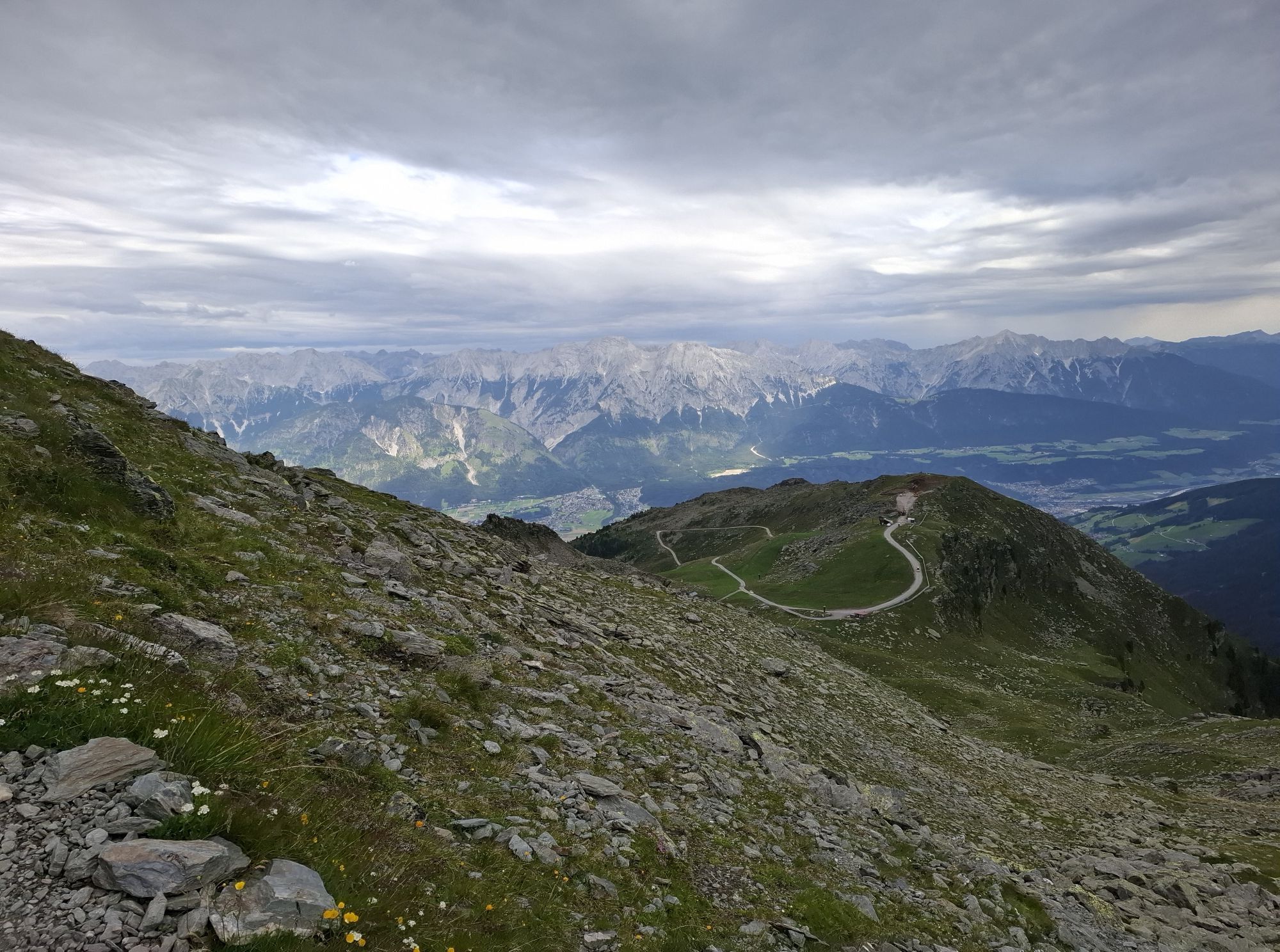
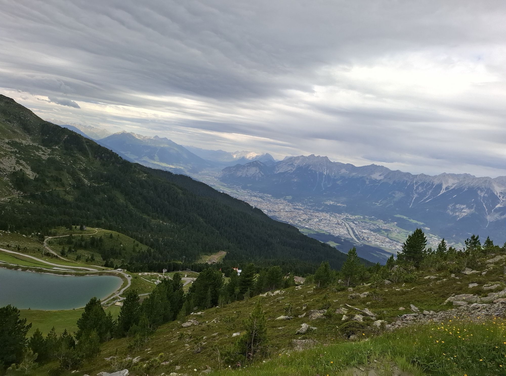
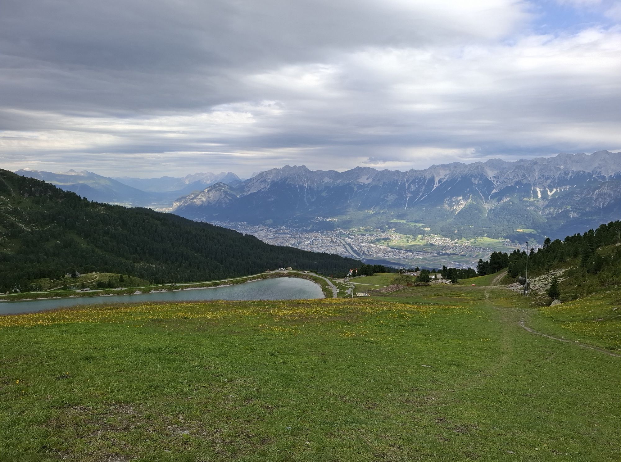
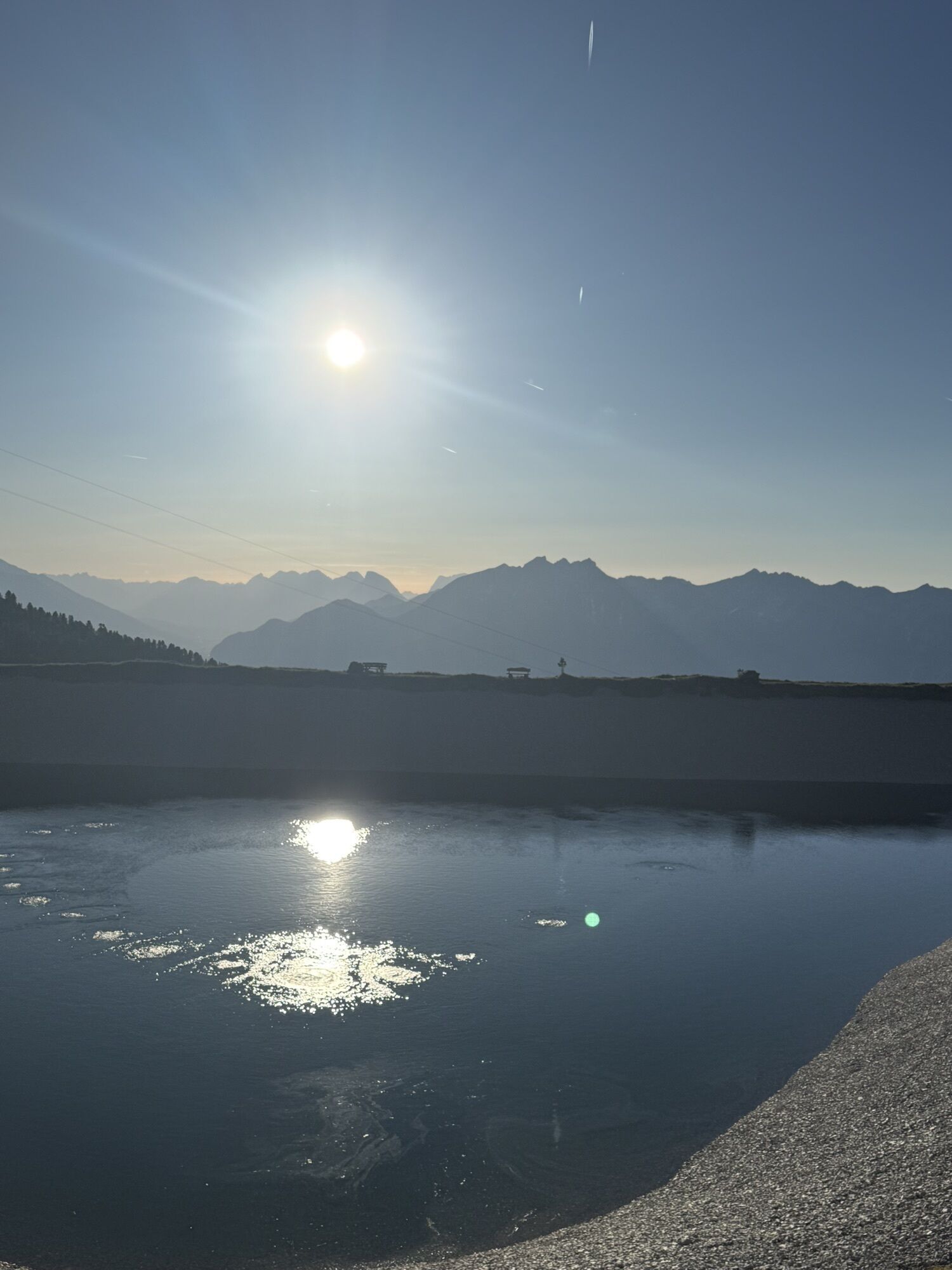
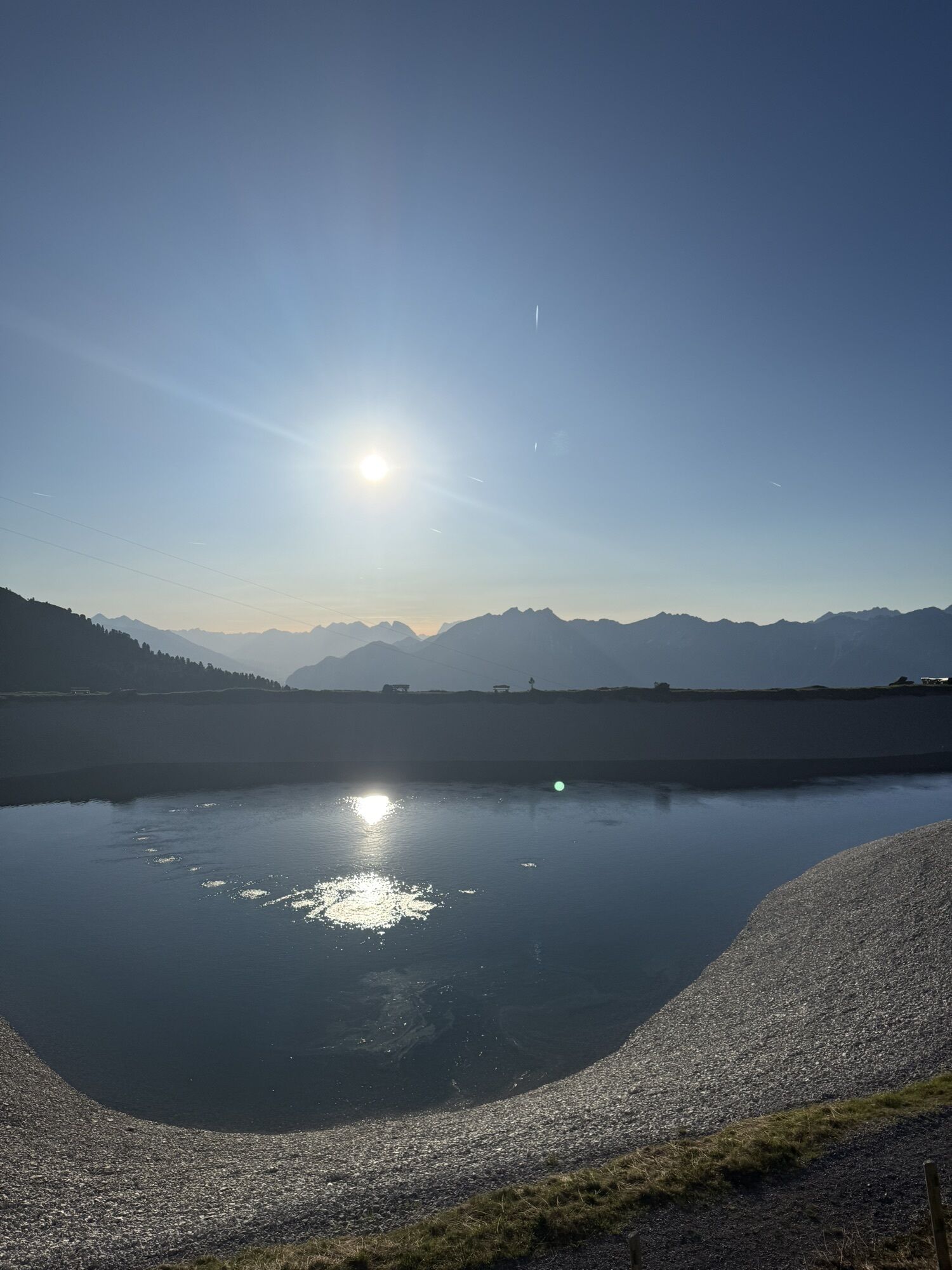
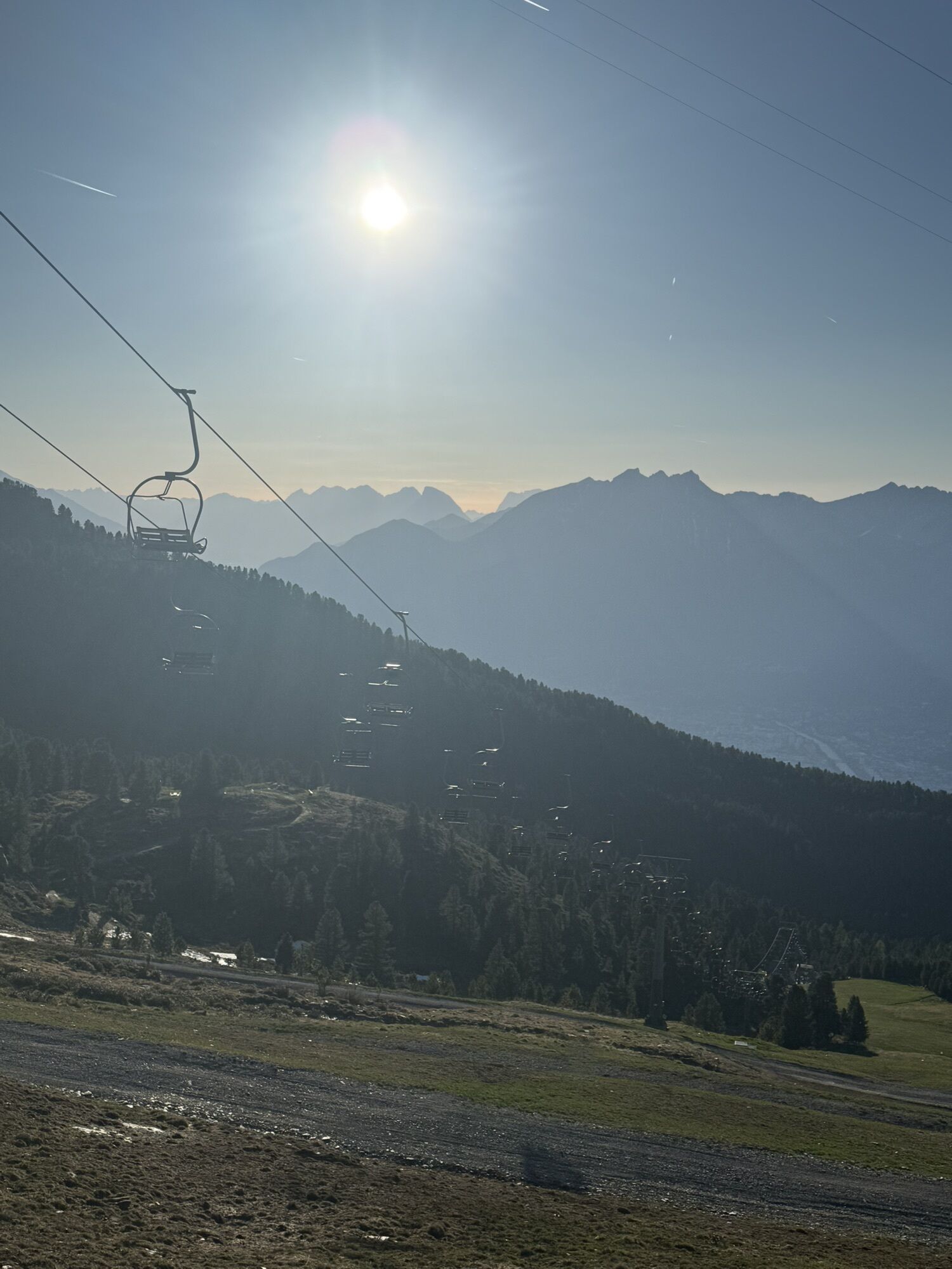
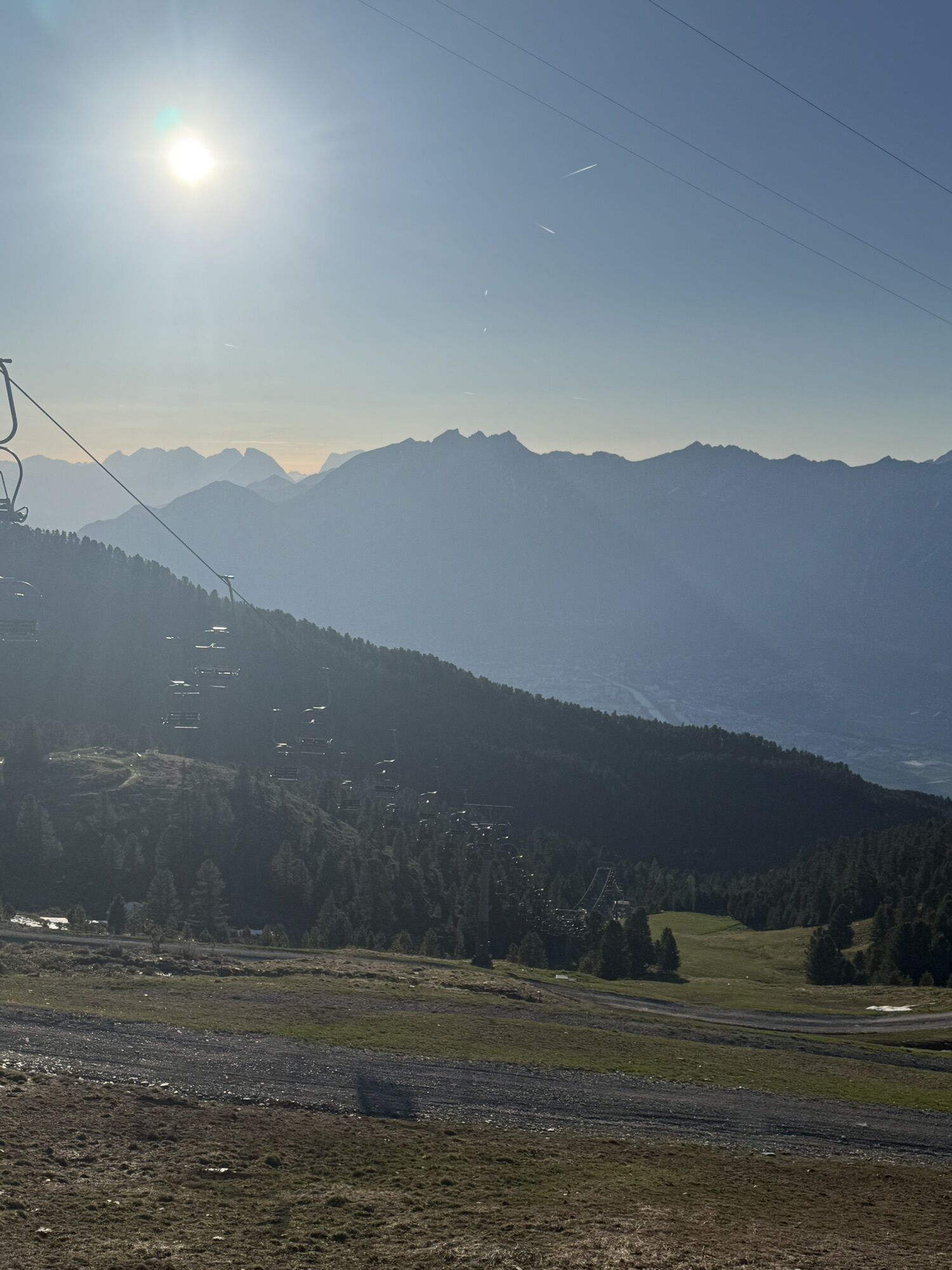
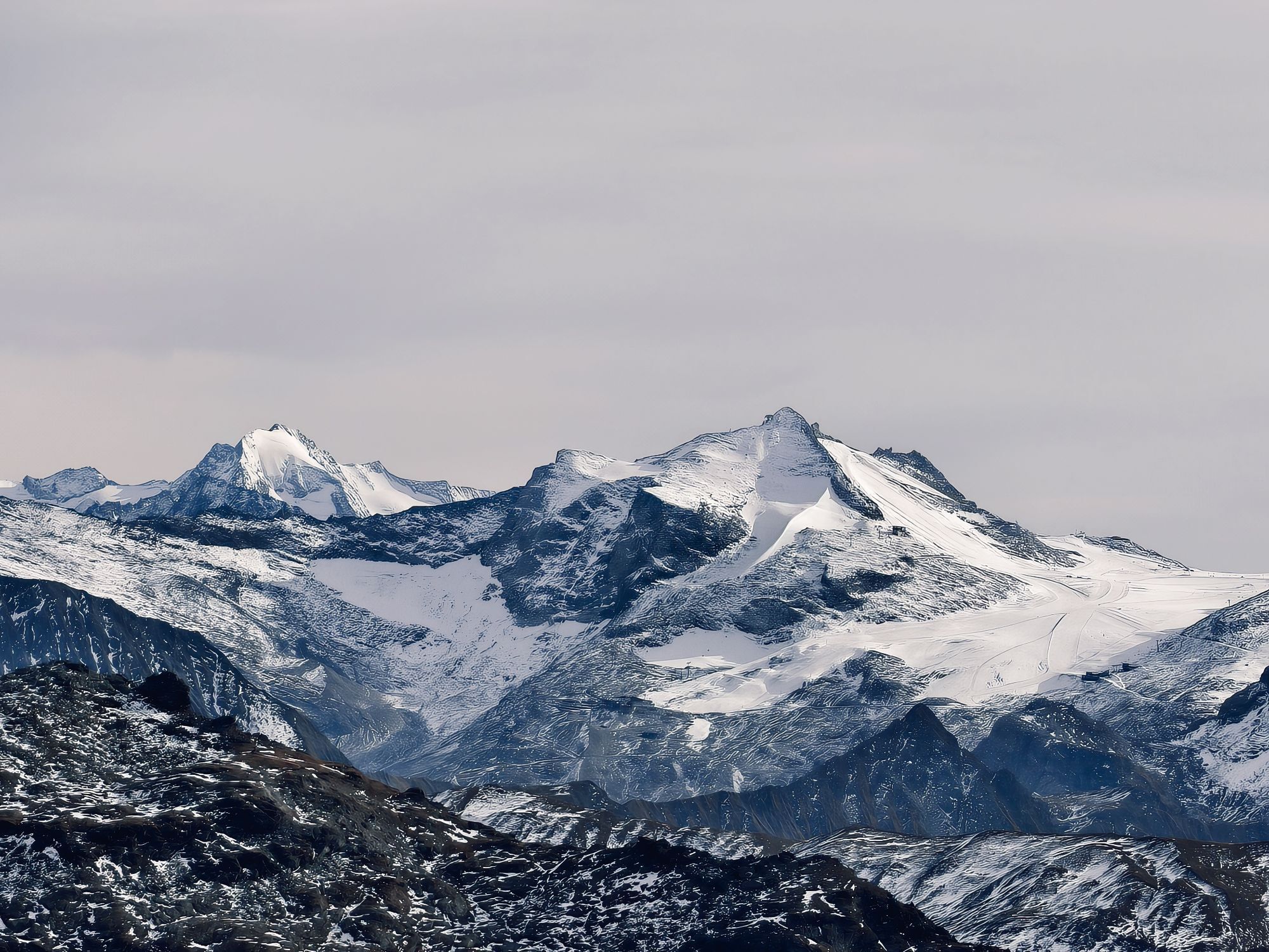
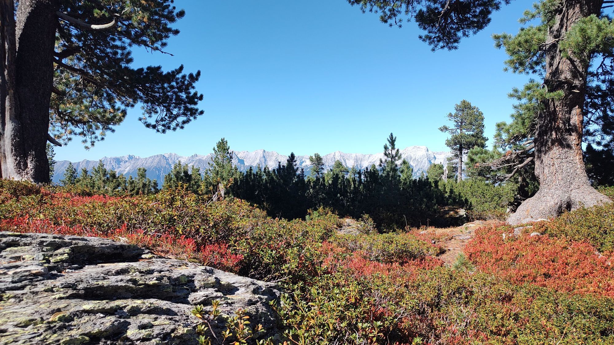
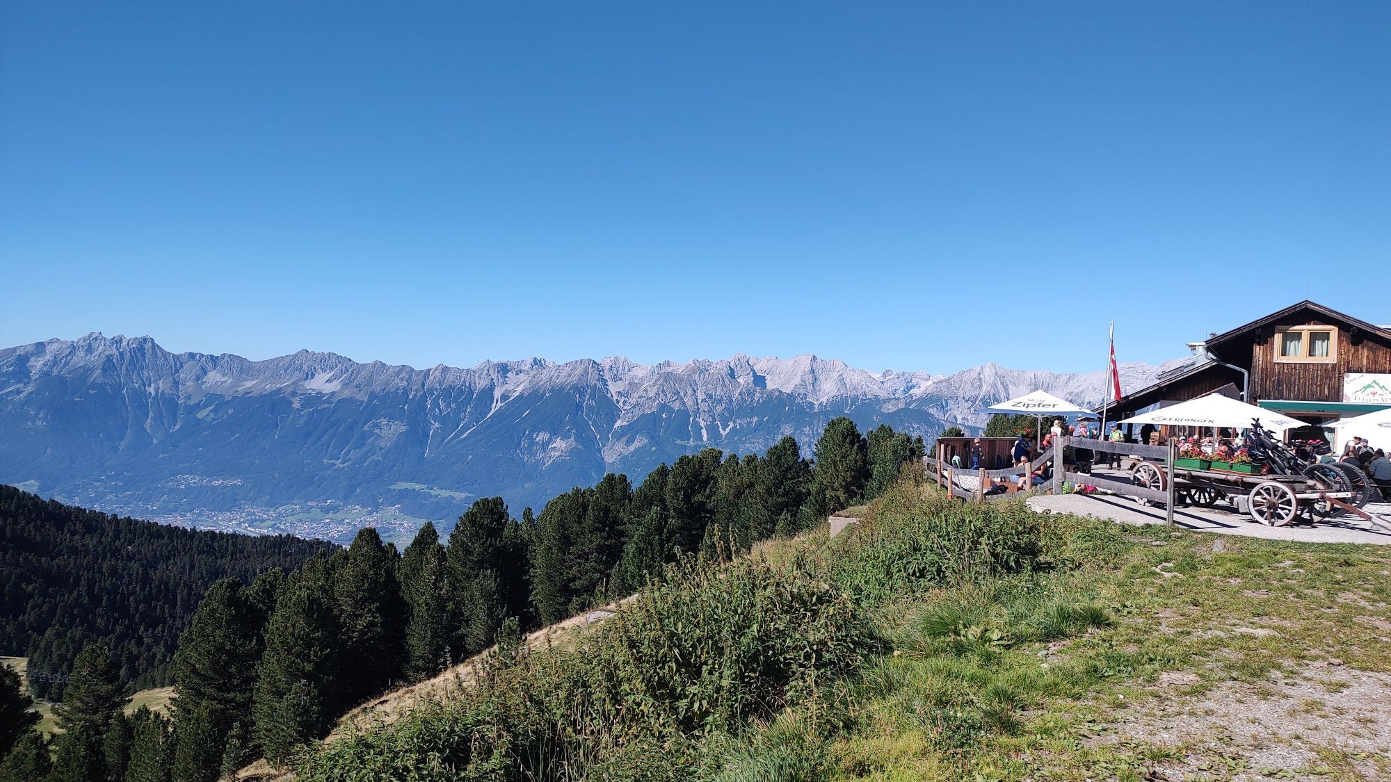
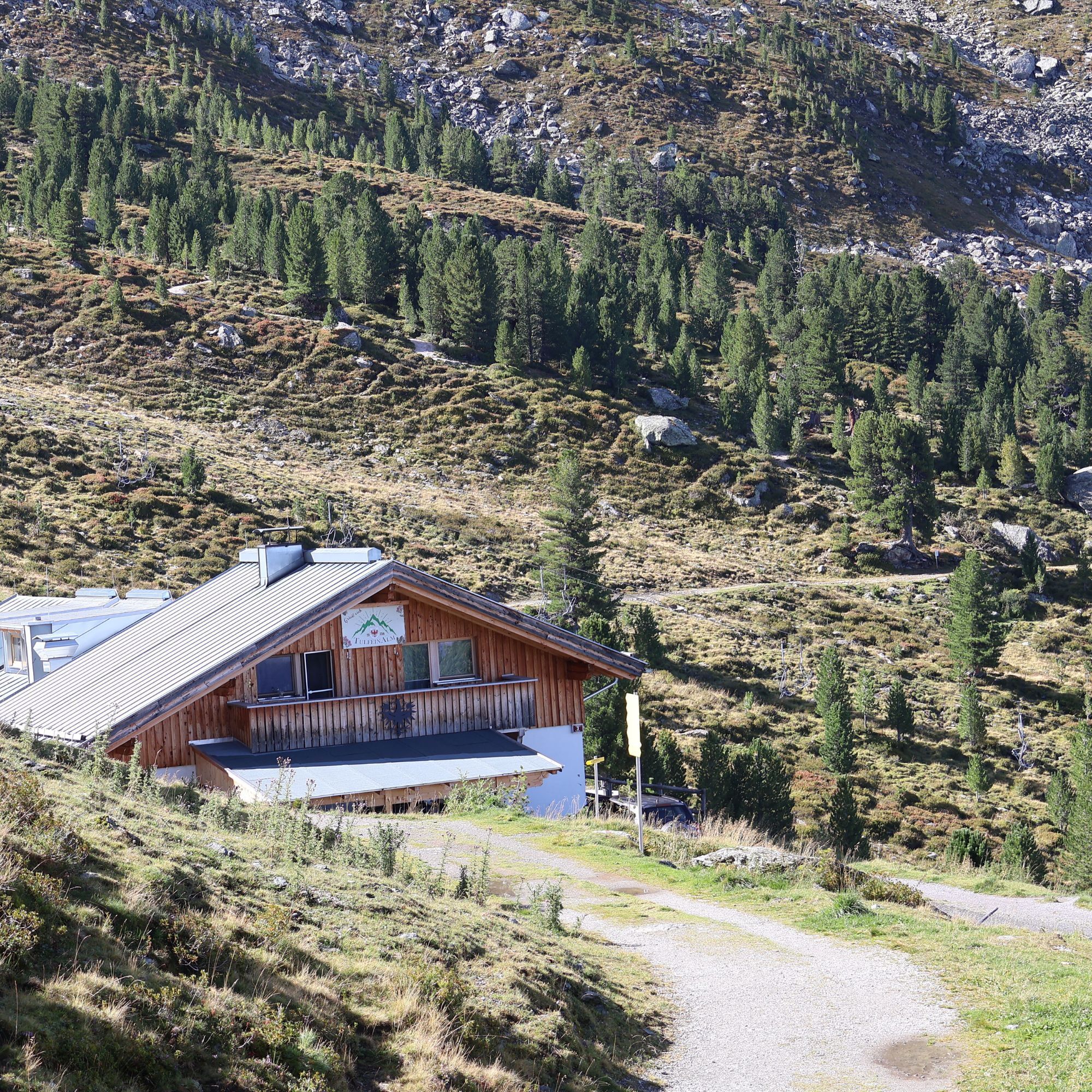
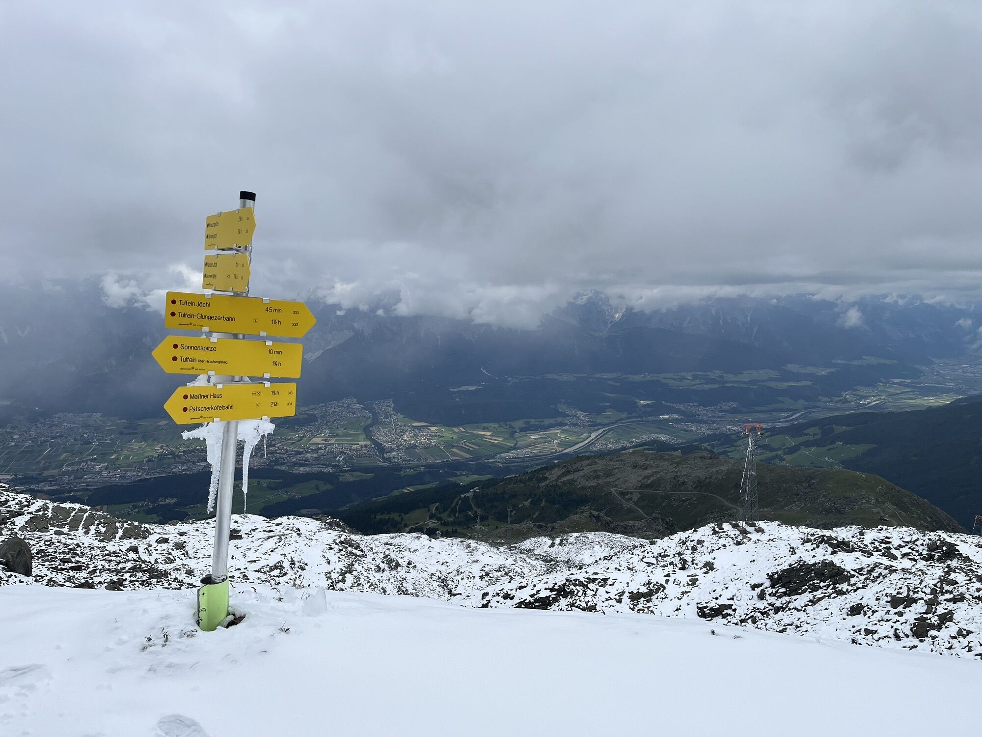
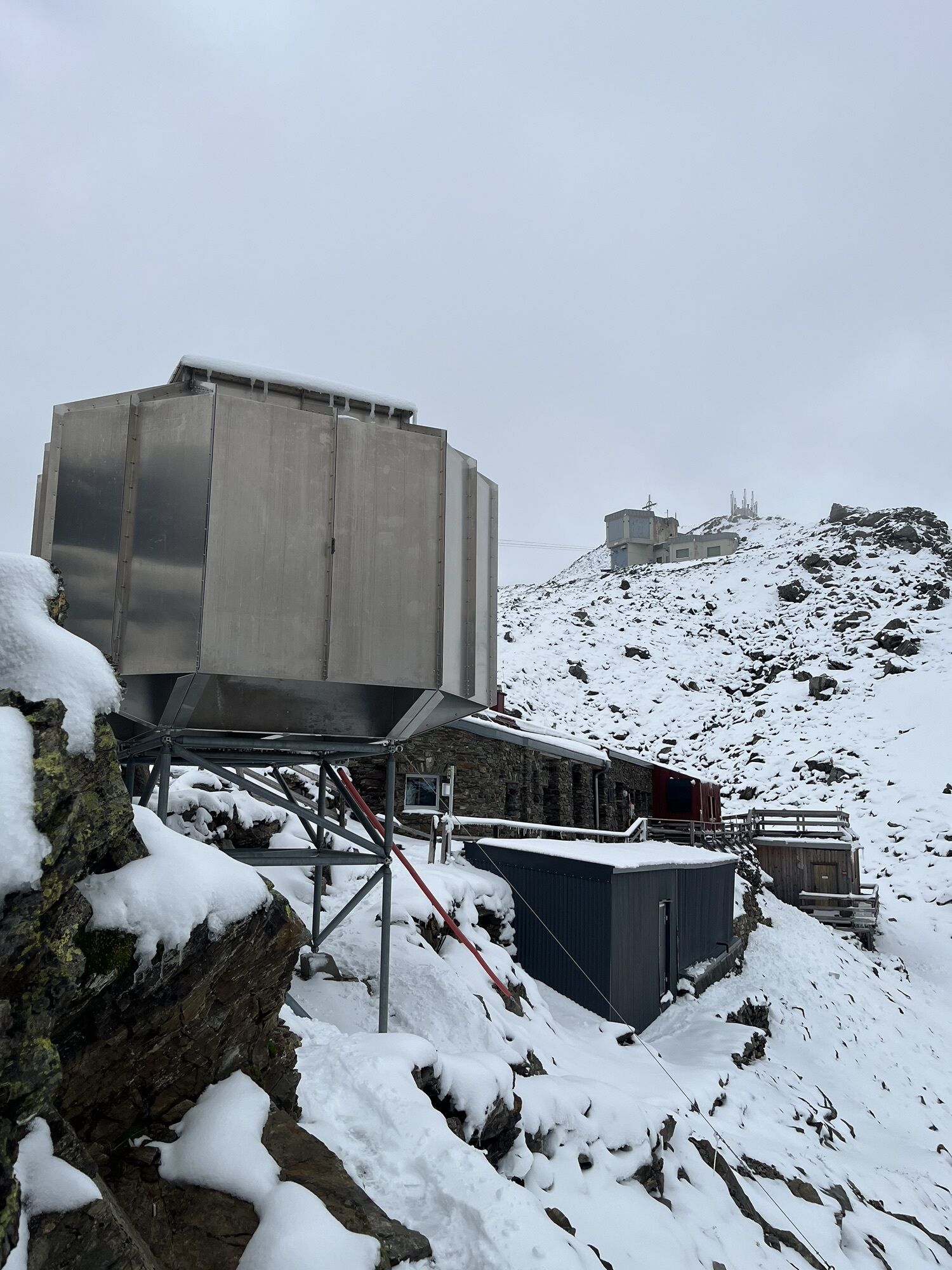
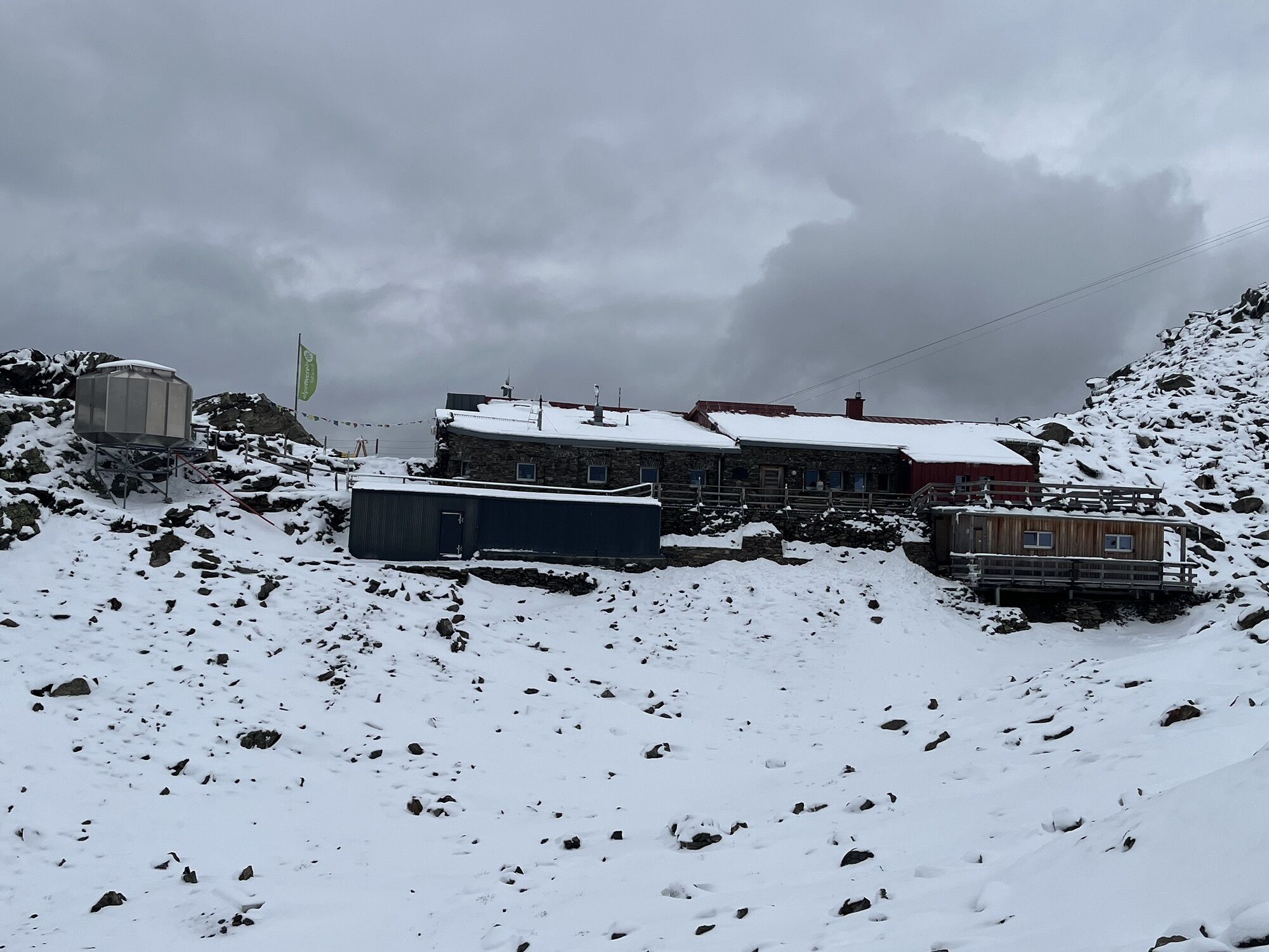
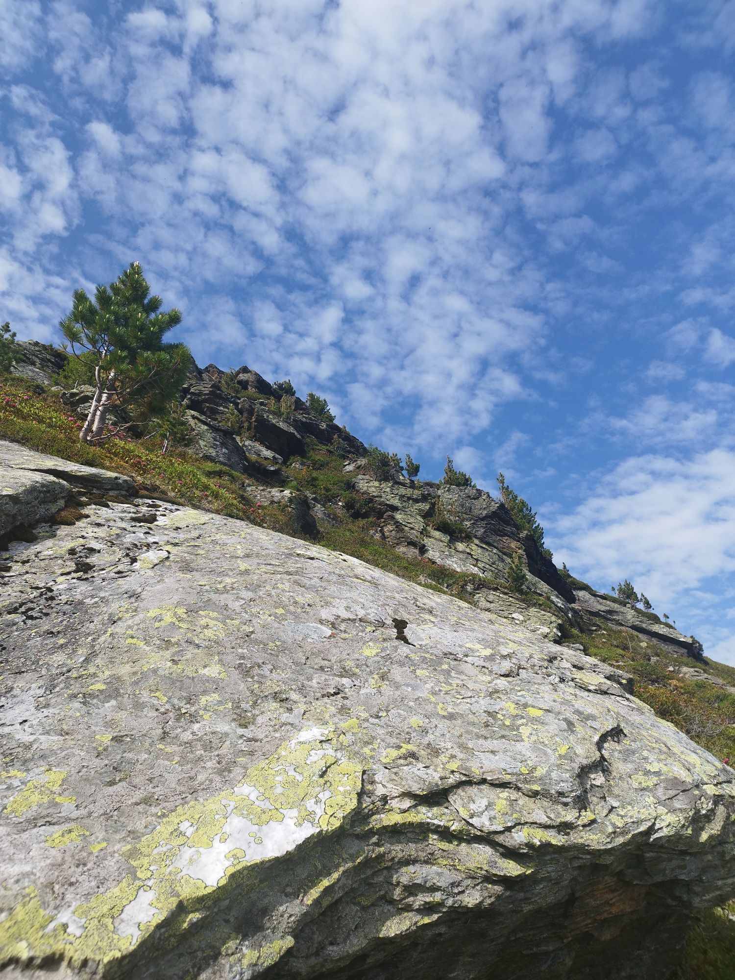
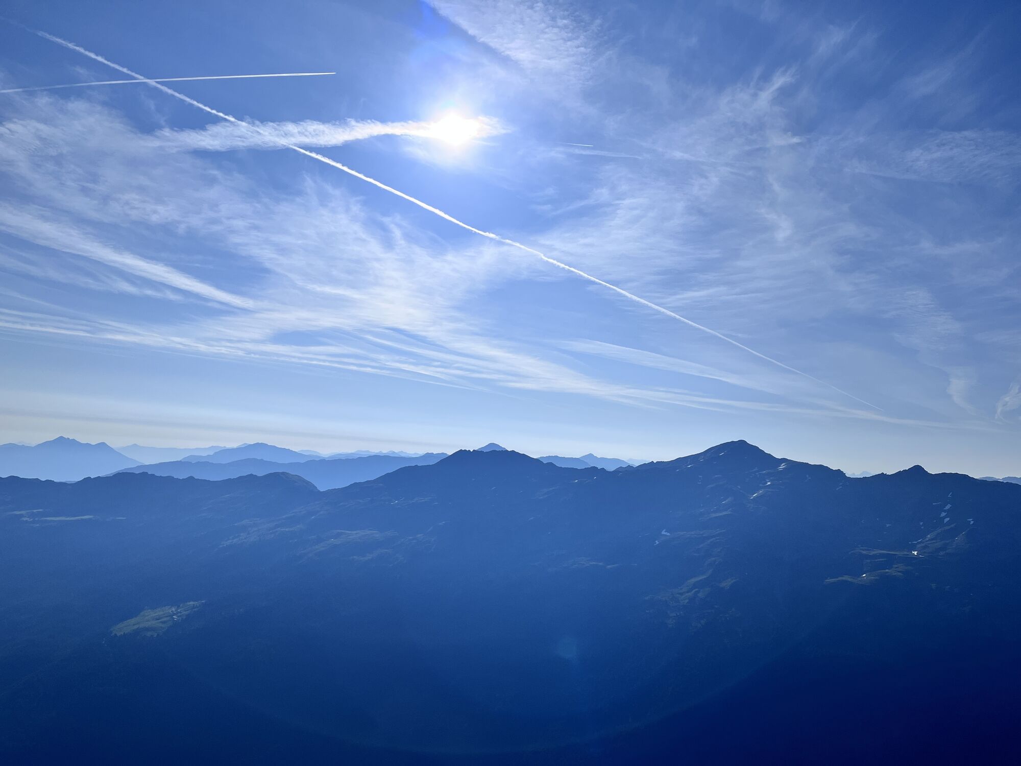
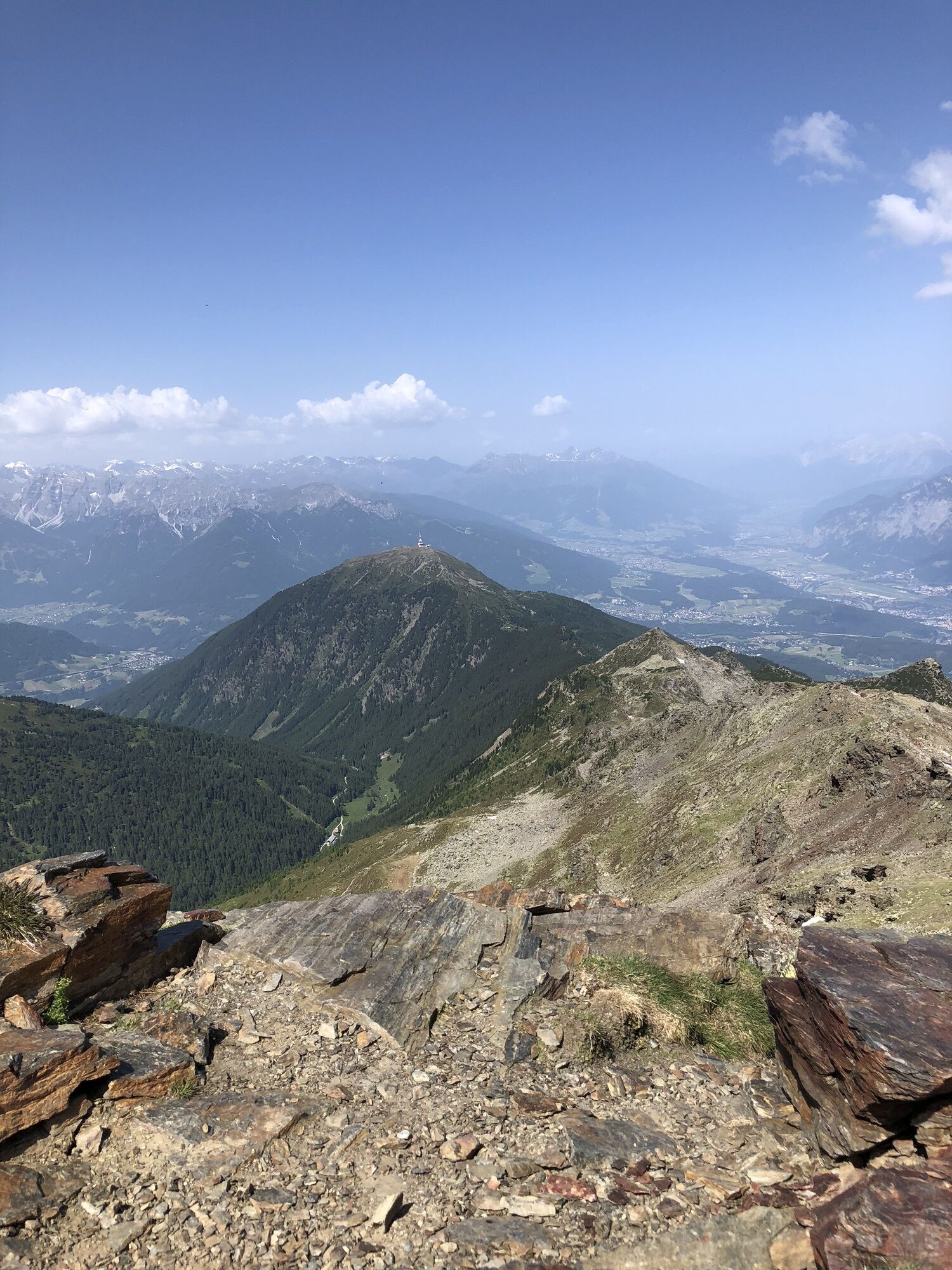
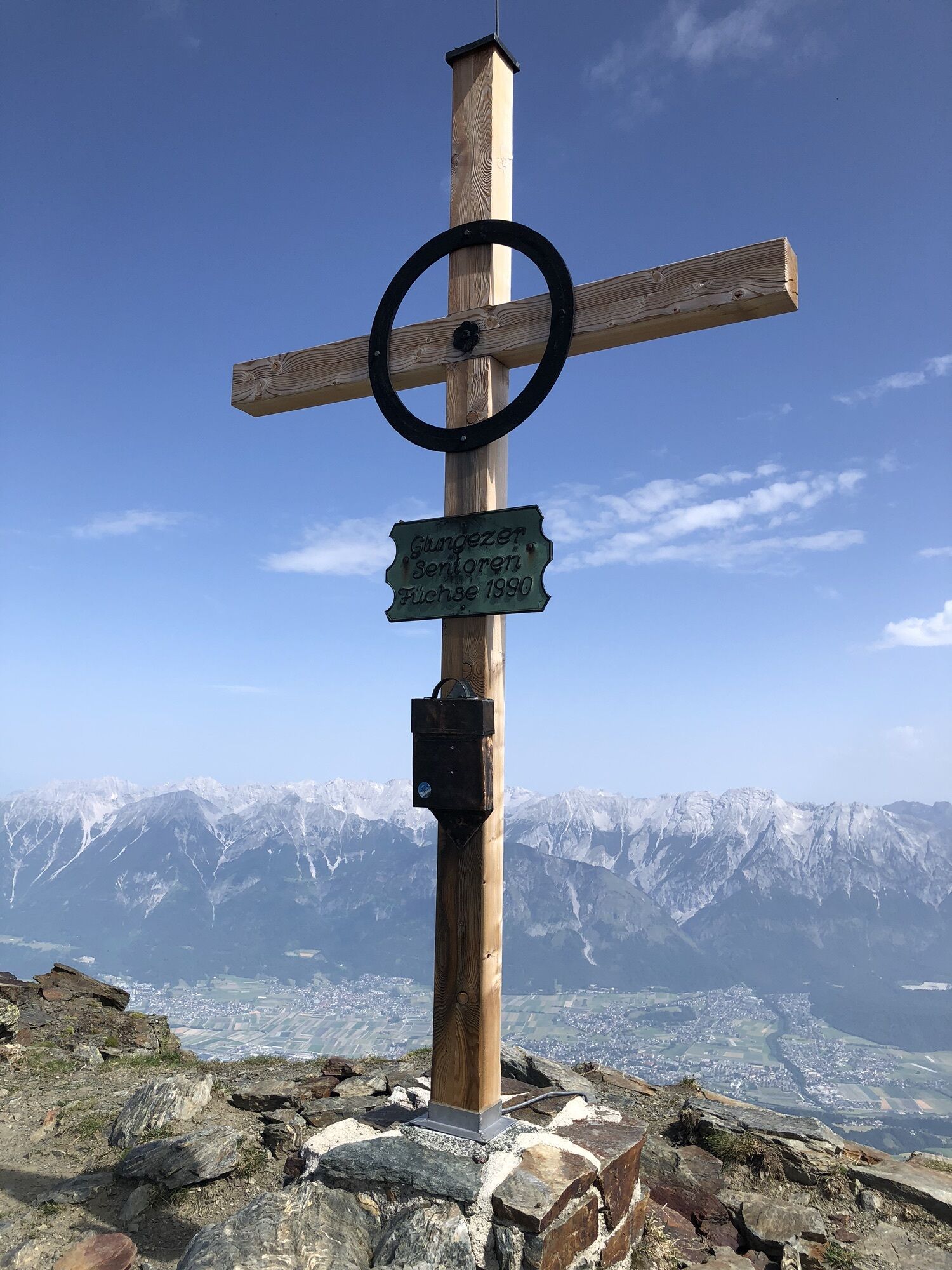
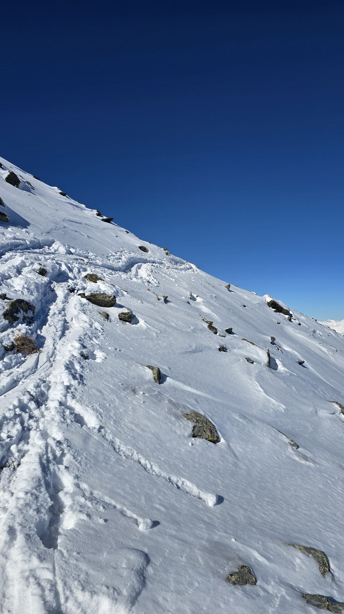
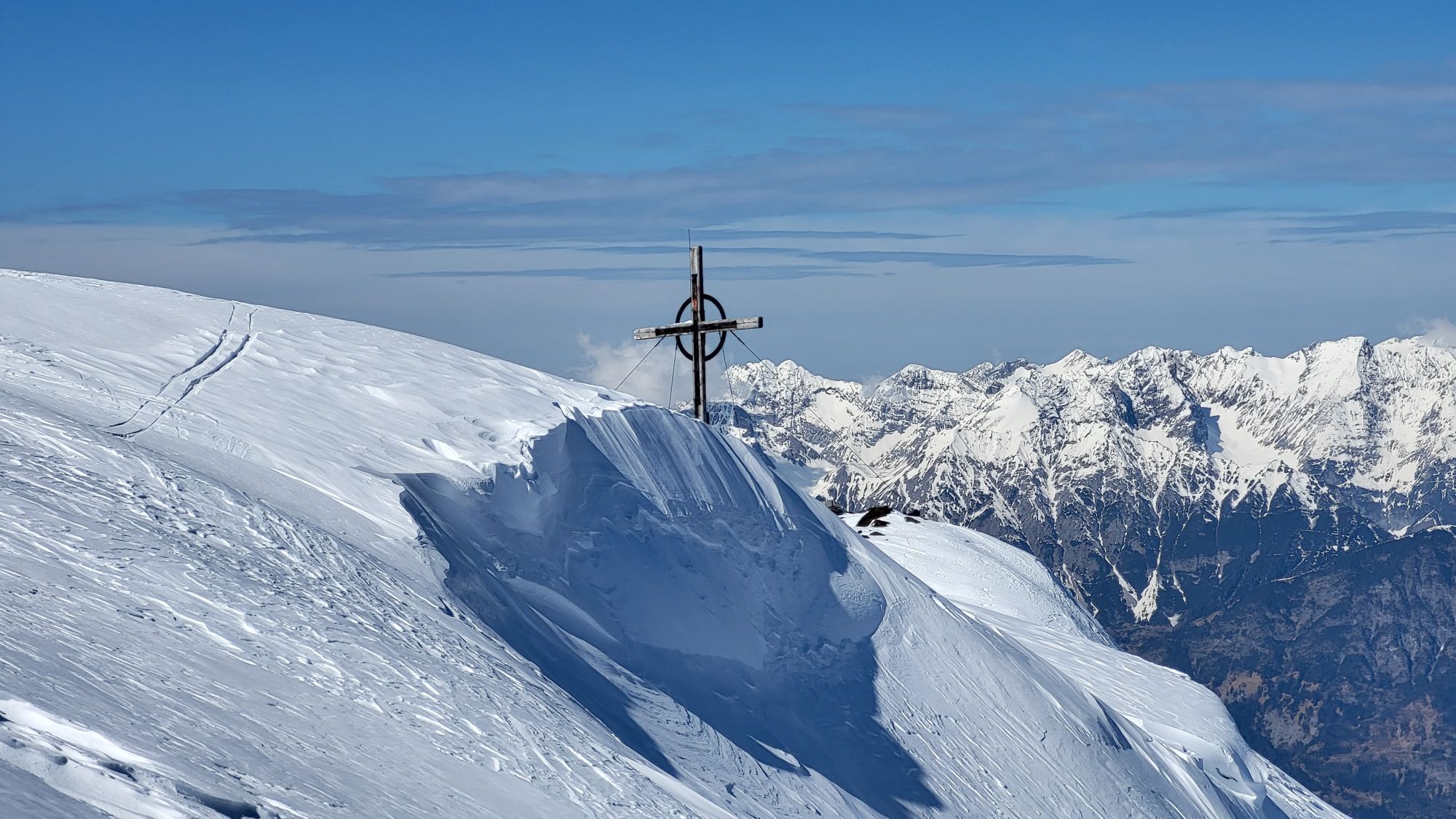
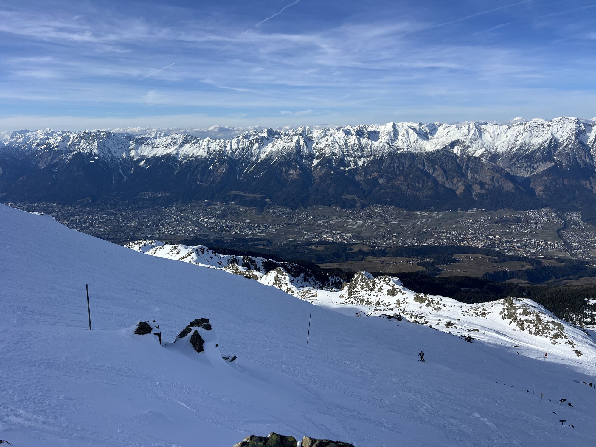
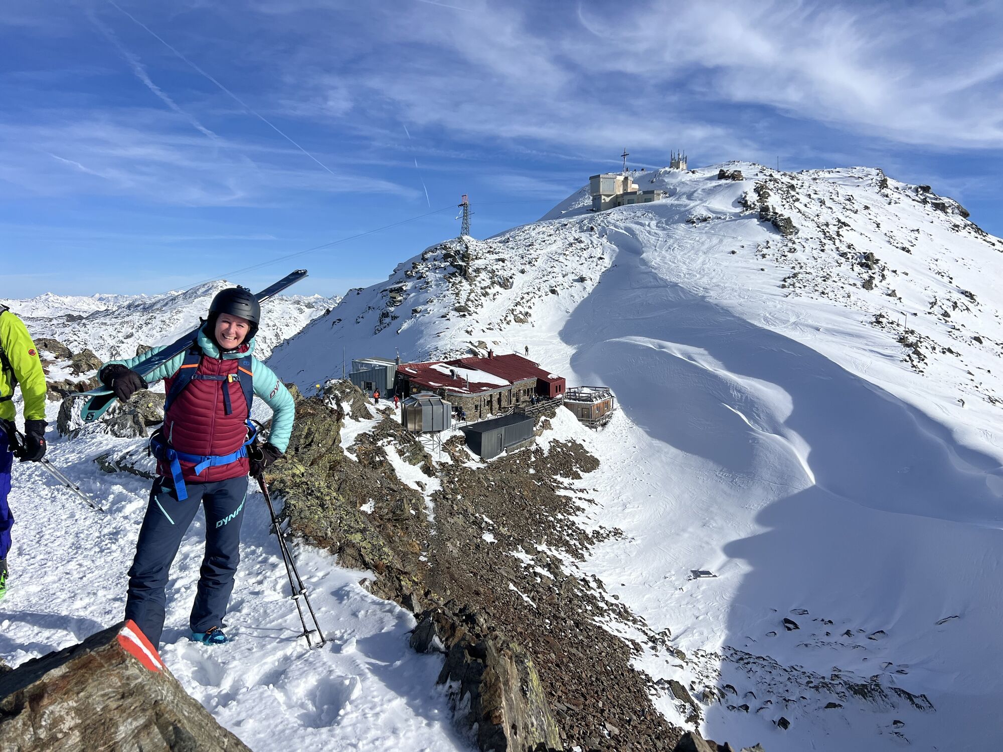
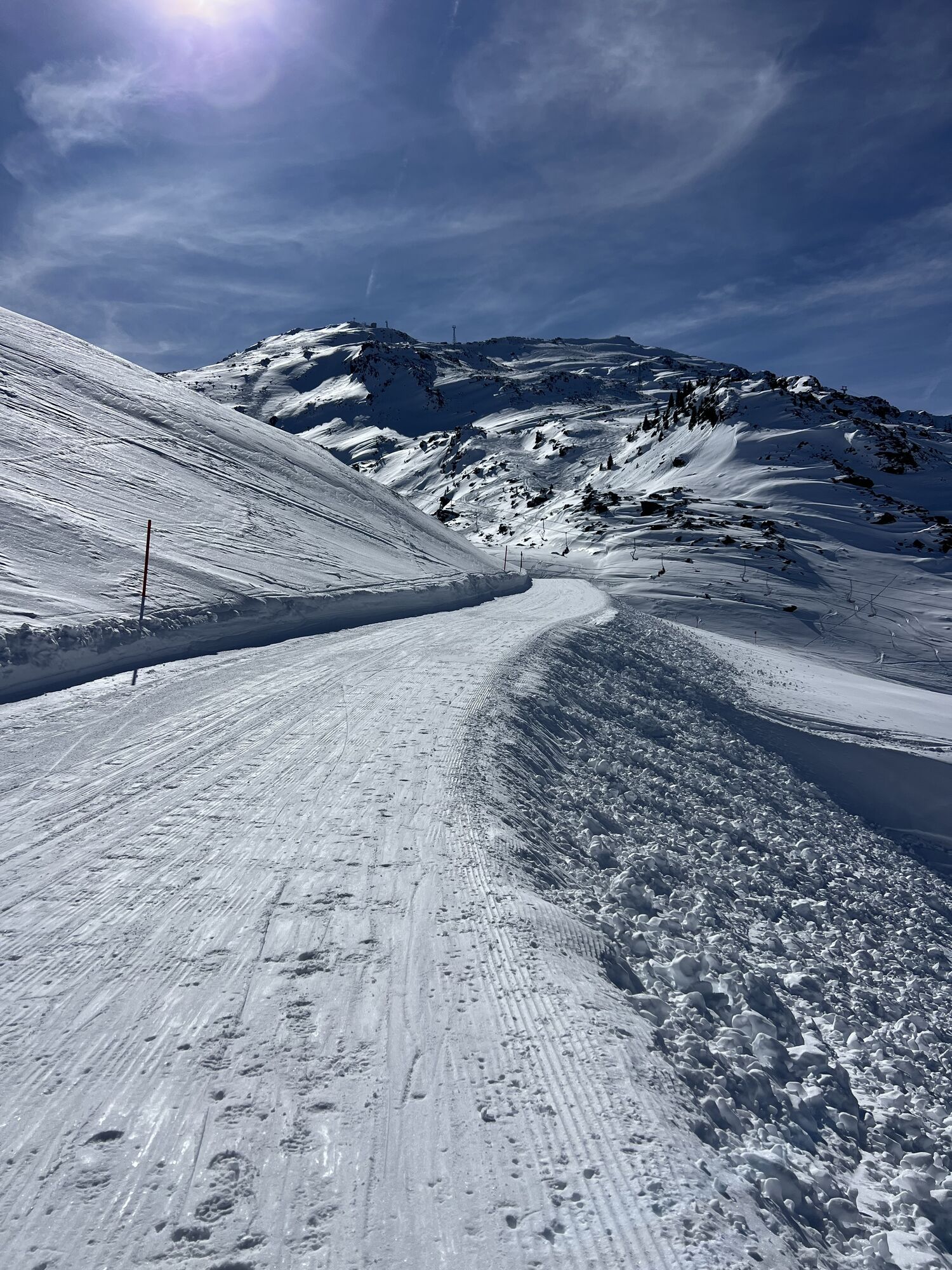
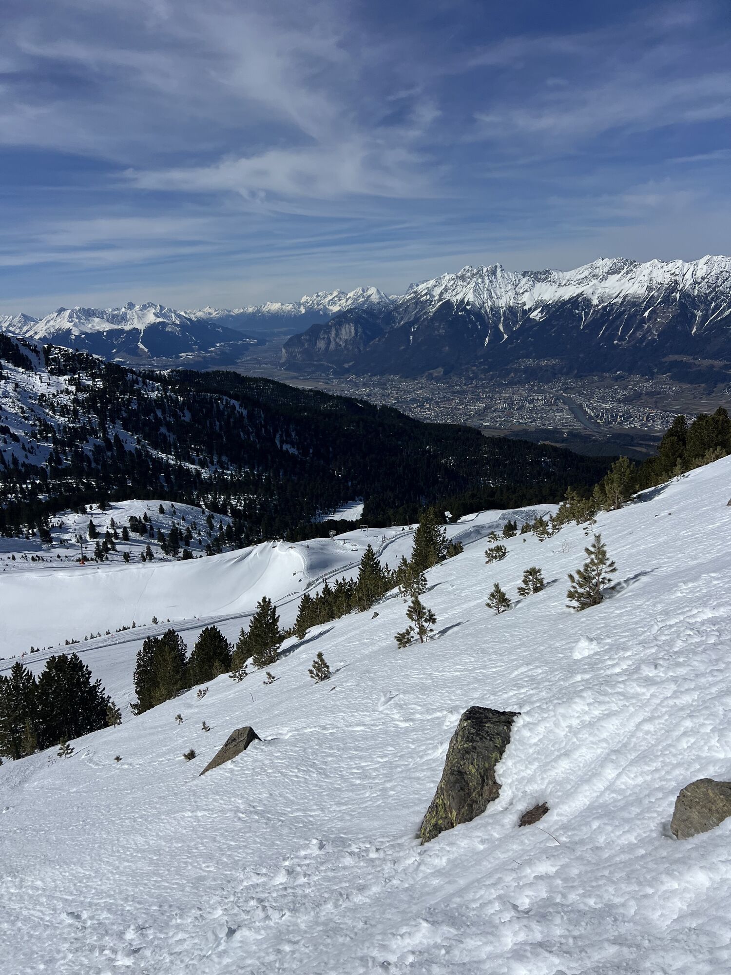
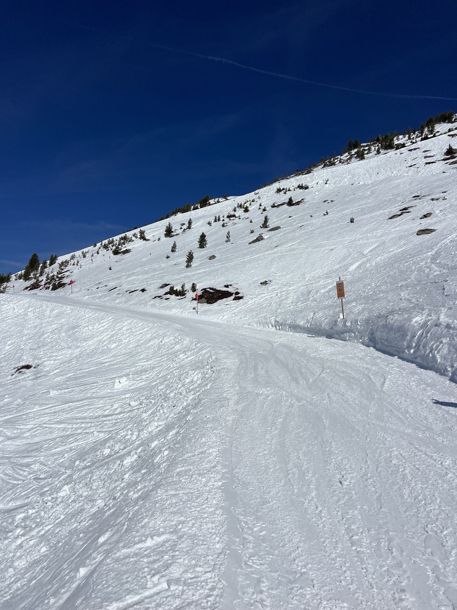
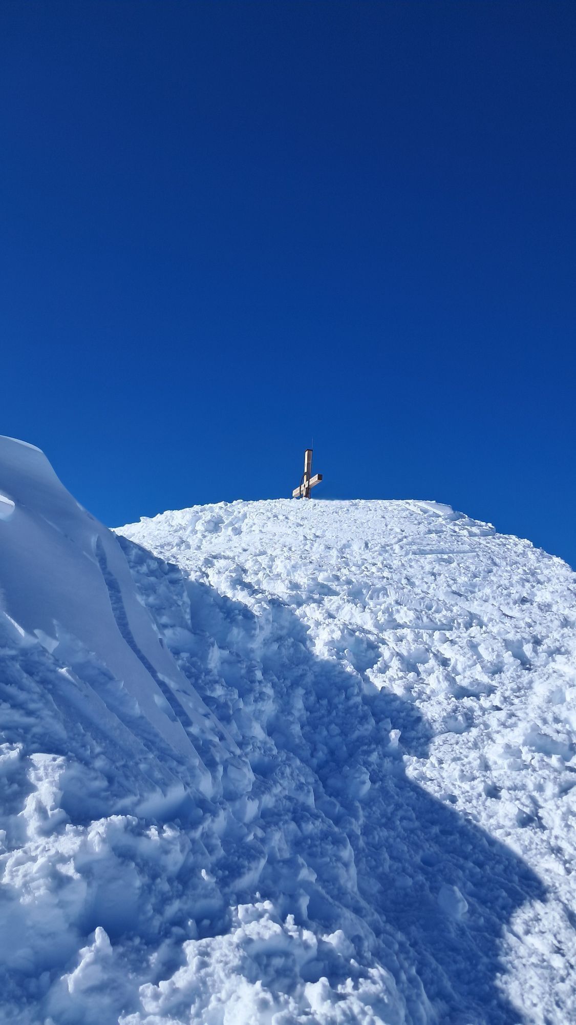

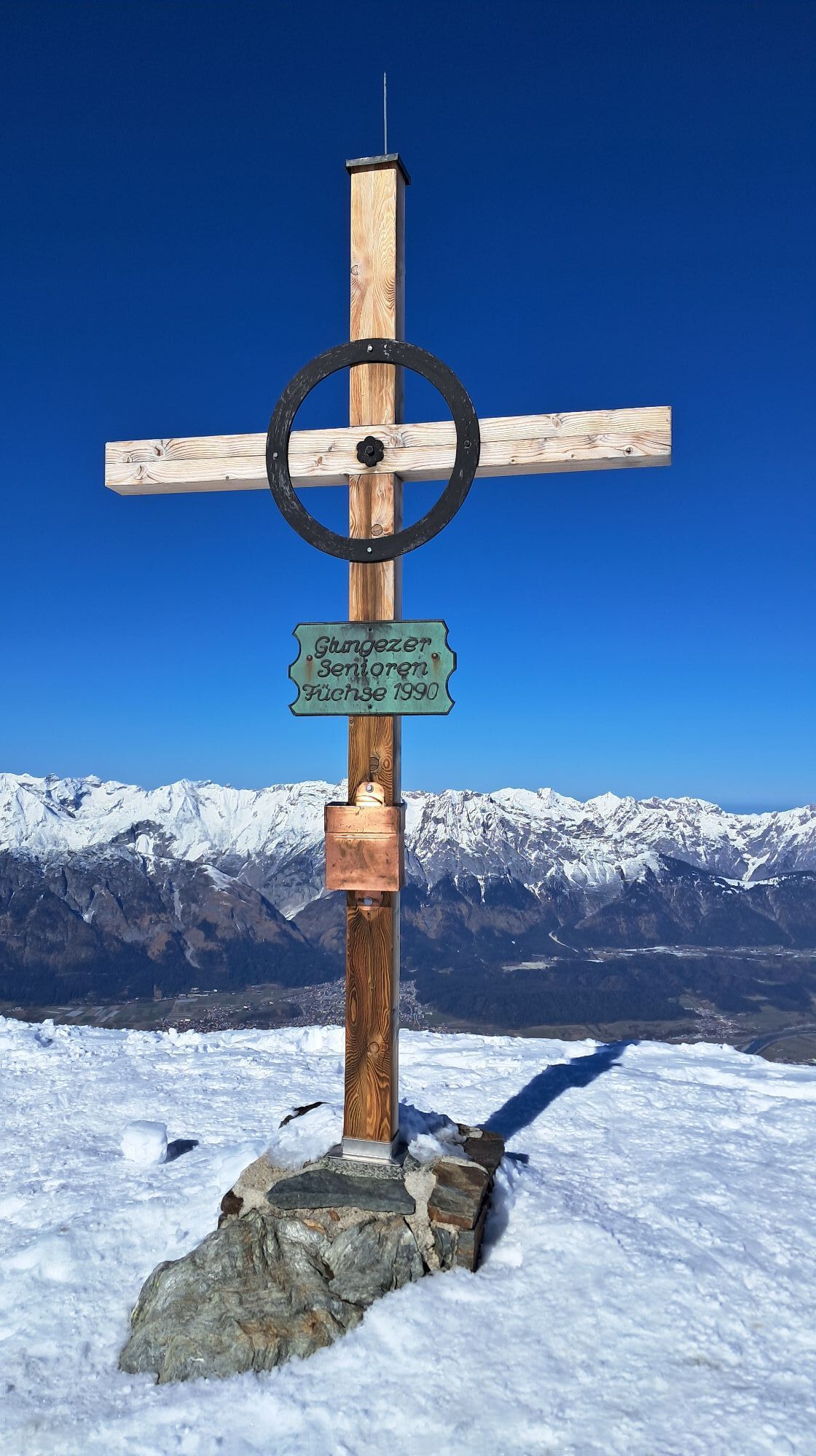
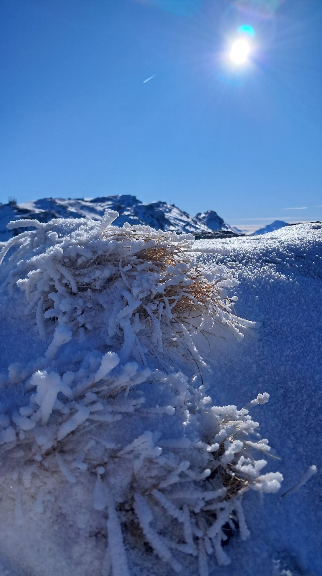
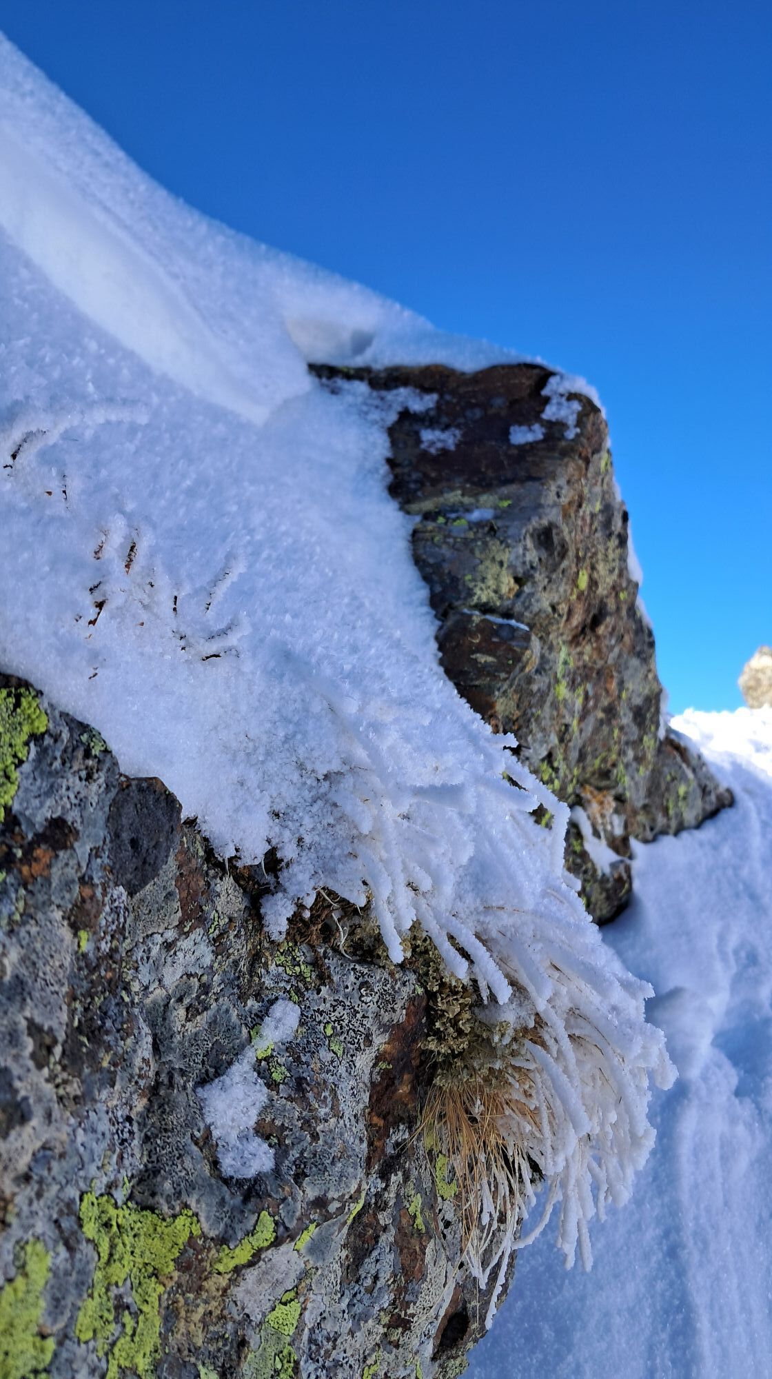
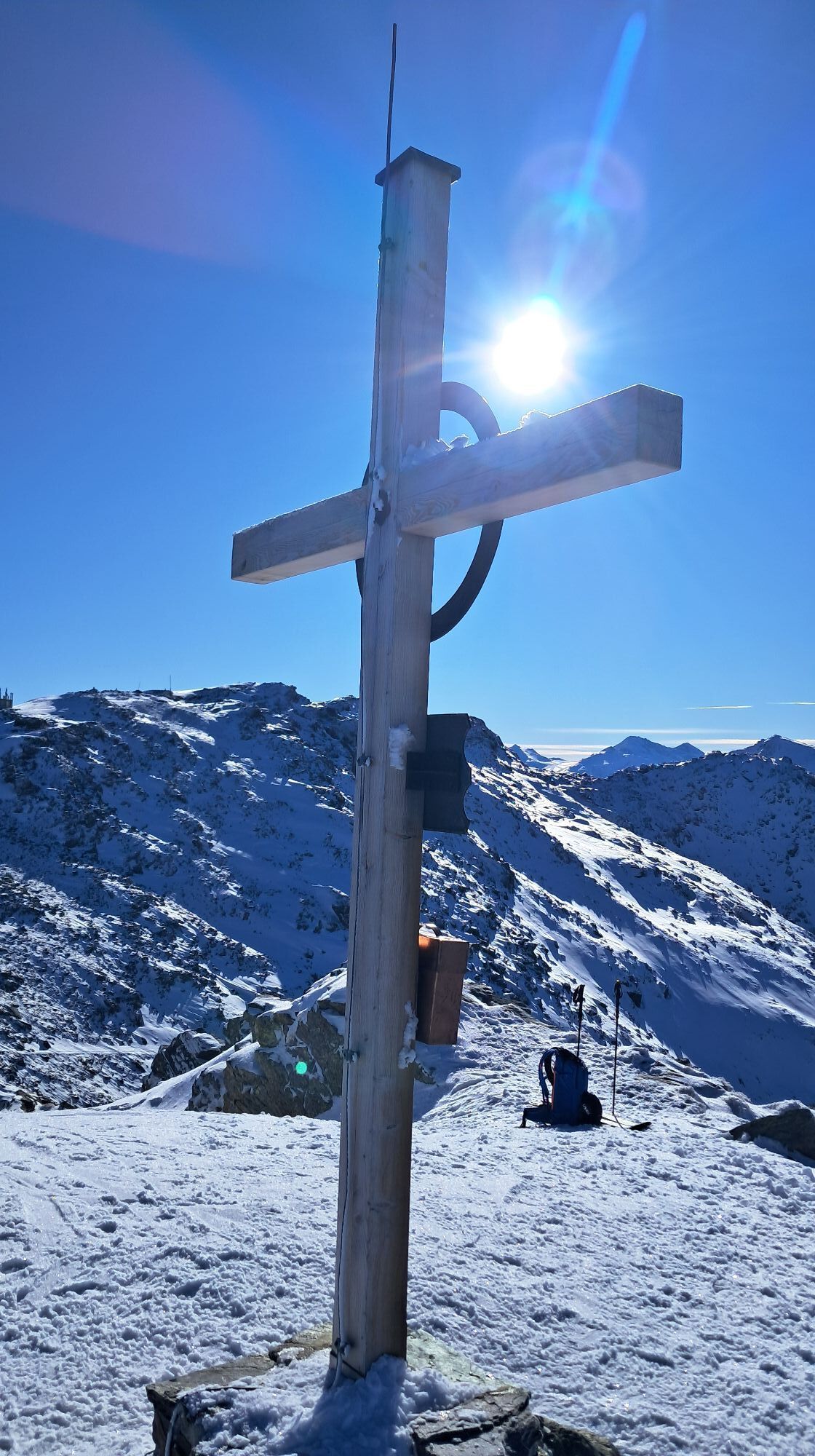
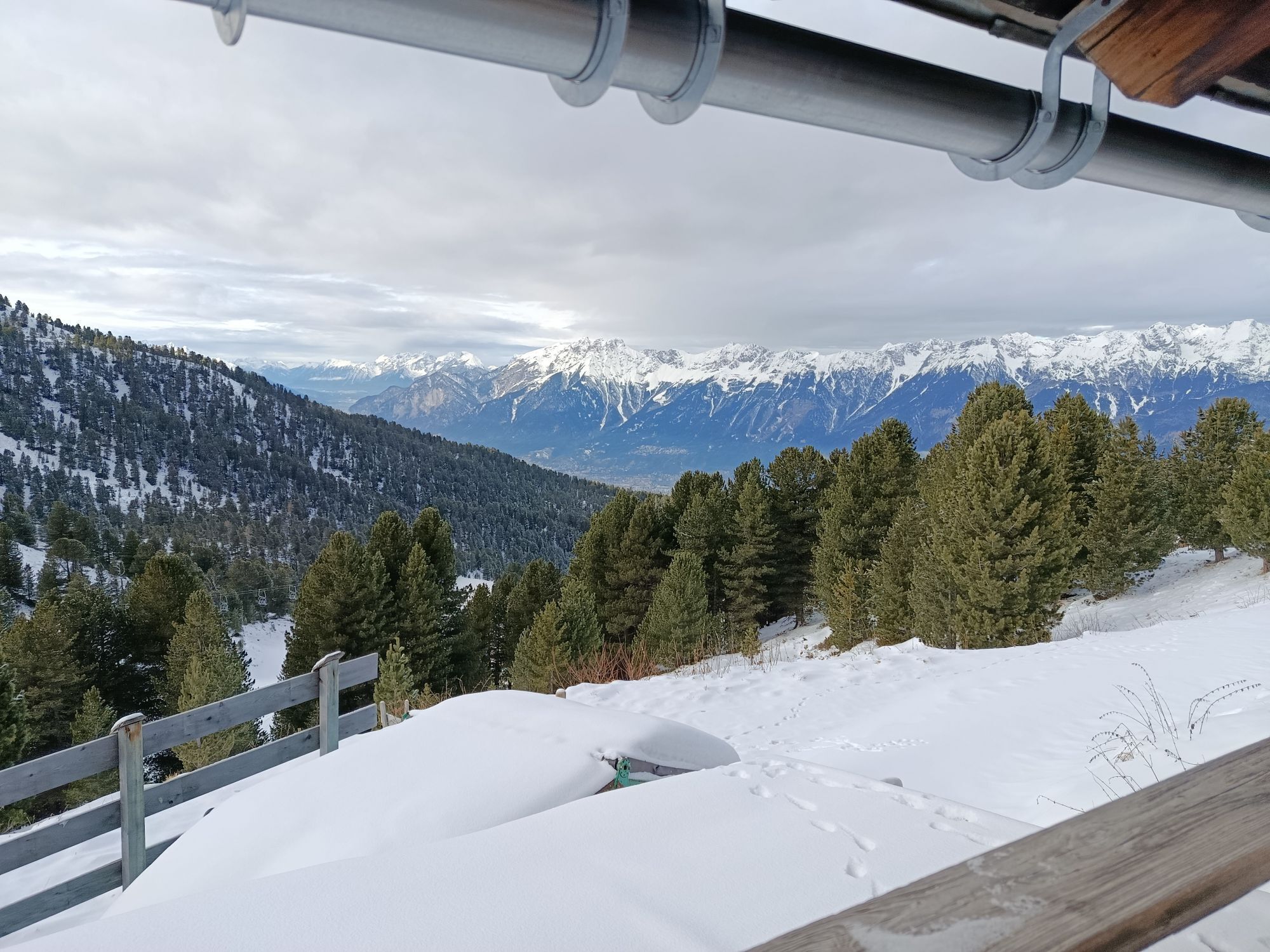
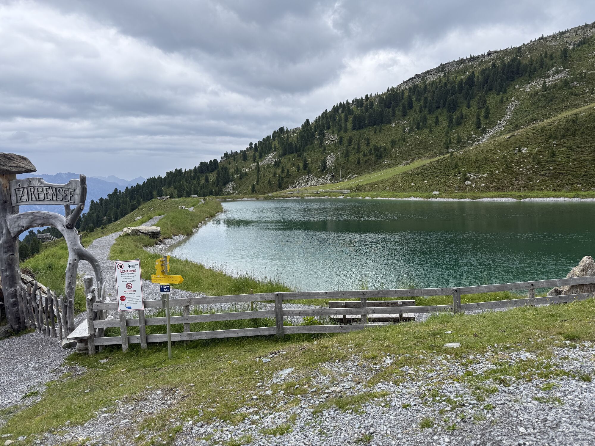
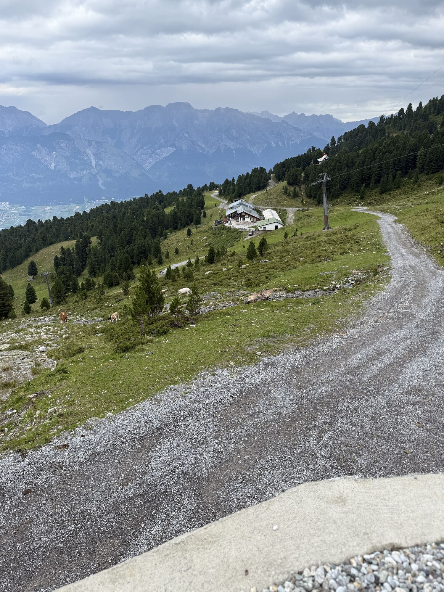
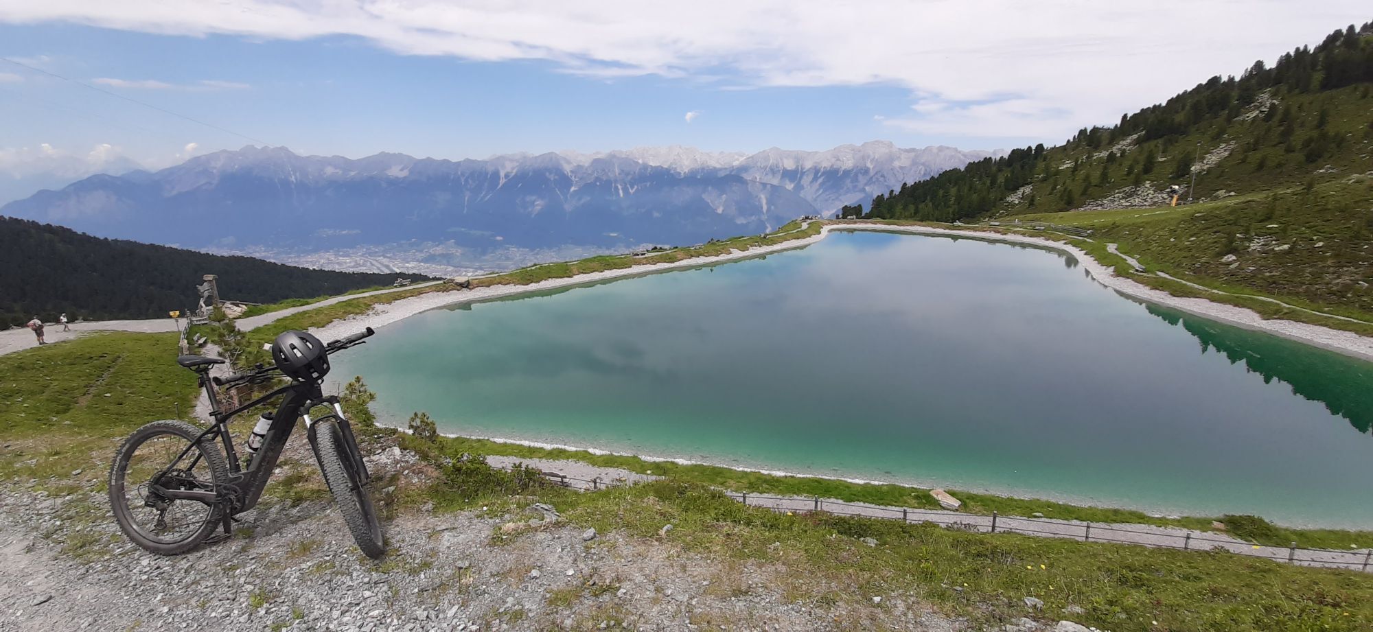
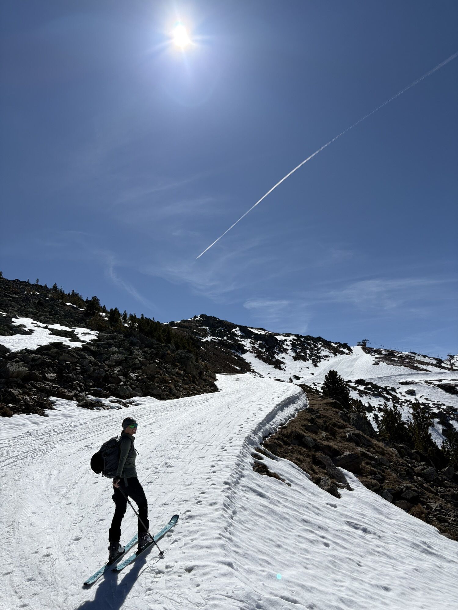
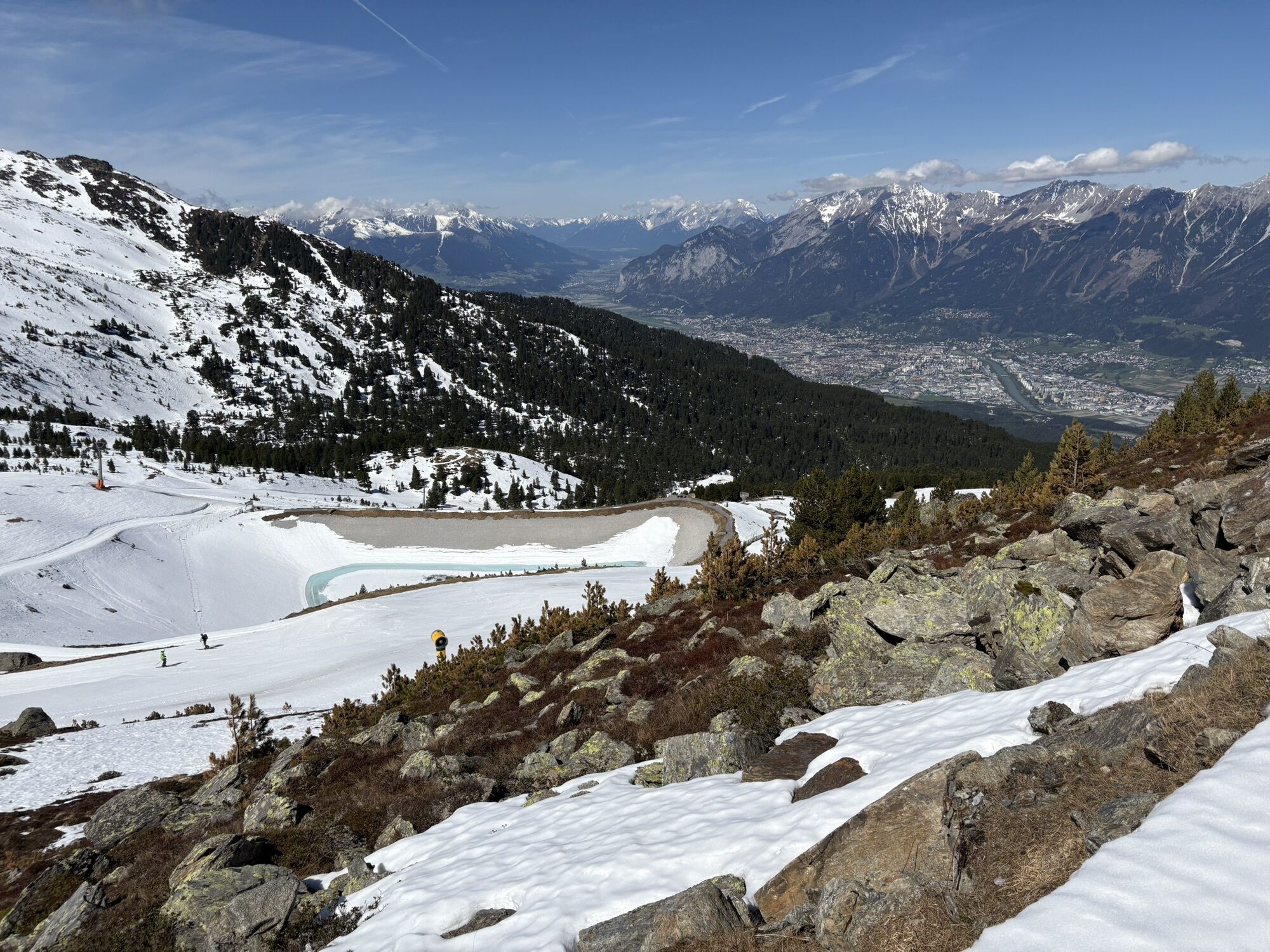
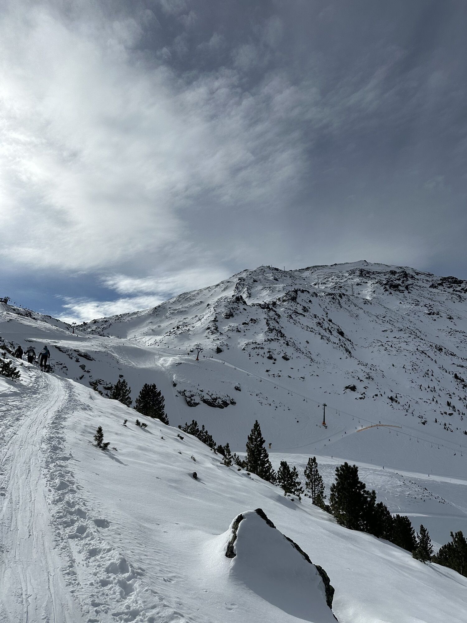
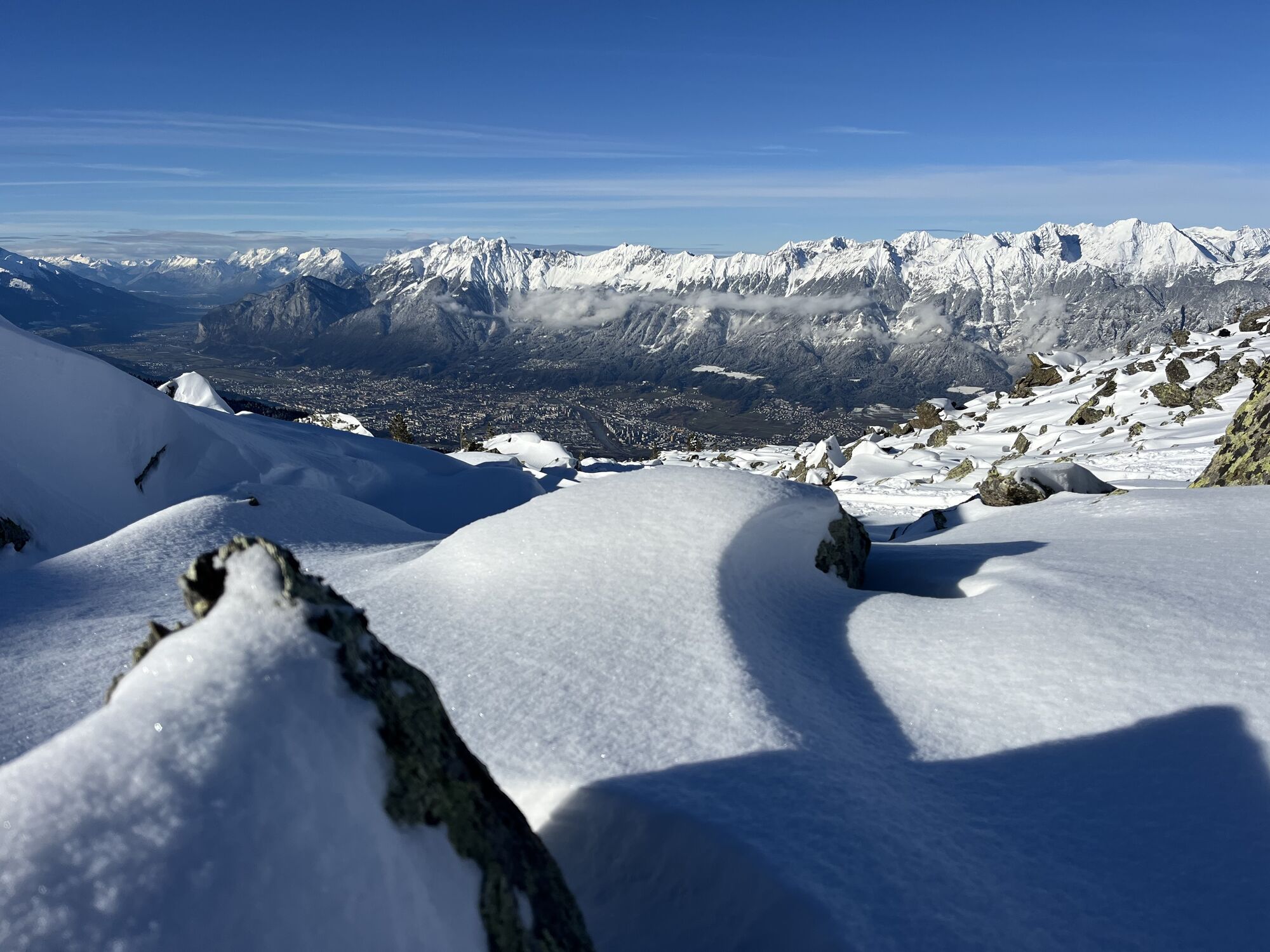
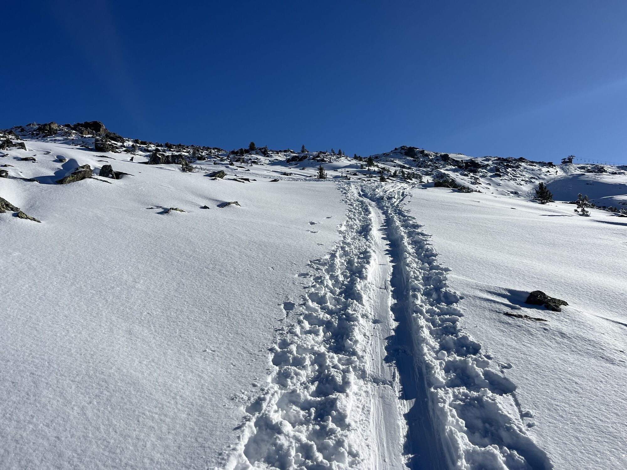
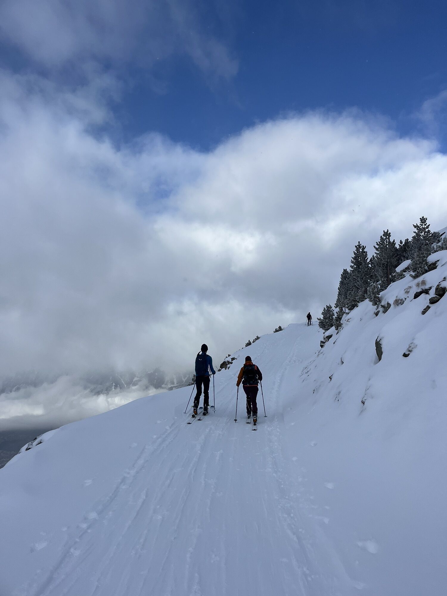
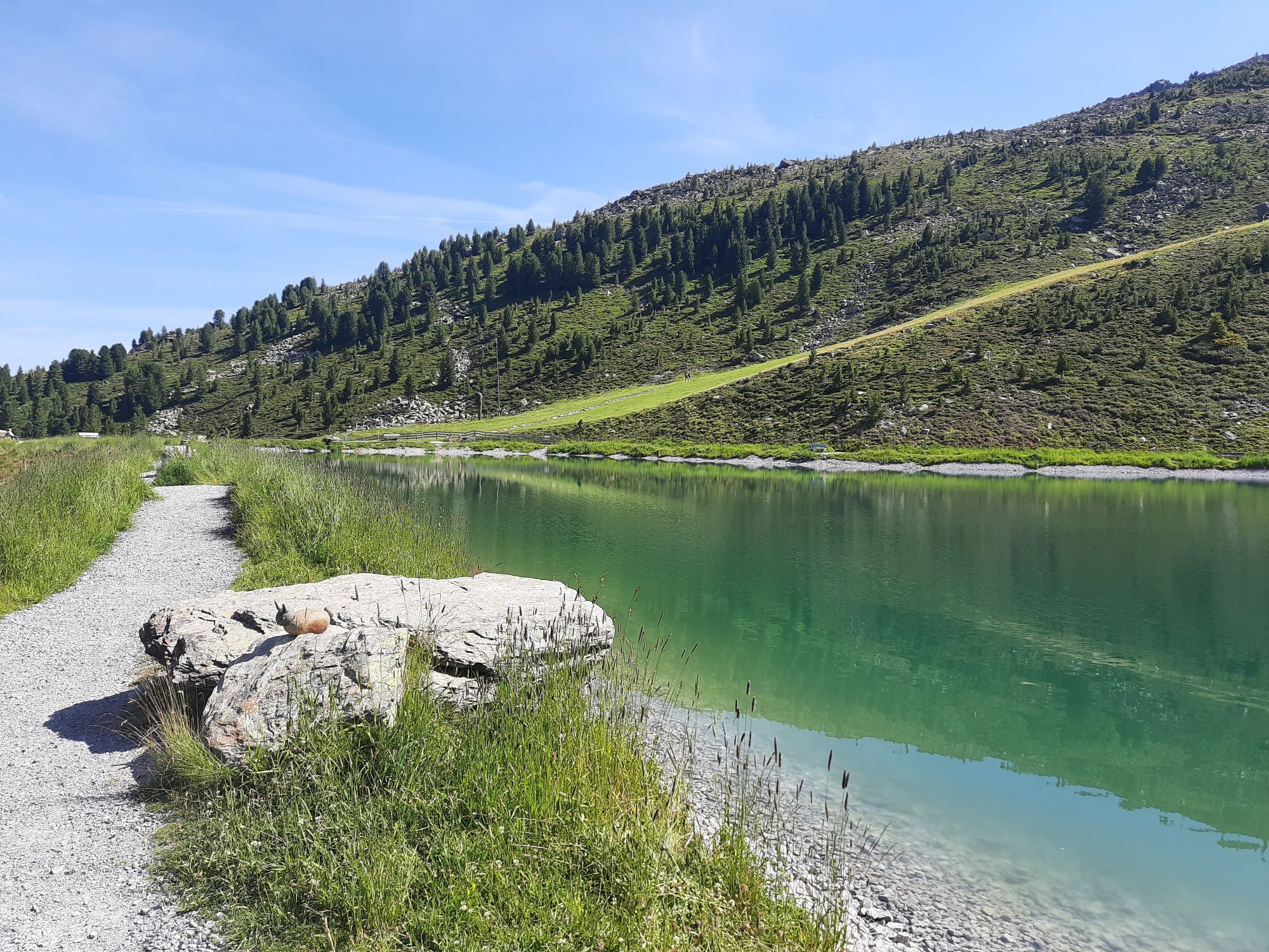
You can comfortably gondola up to the Tulfein mountain station with the Glungezer cable car. From here, hiking boots are tightened and in 1.5 to 2 hours you reach the summit of the Glungezer with its impressive...
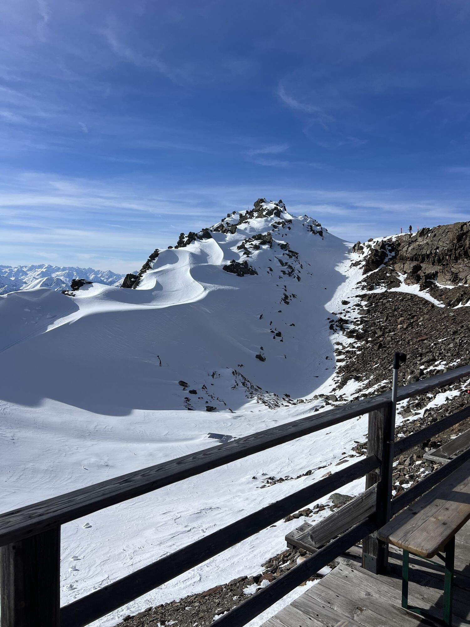
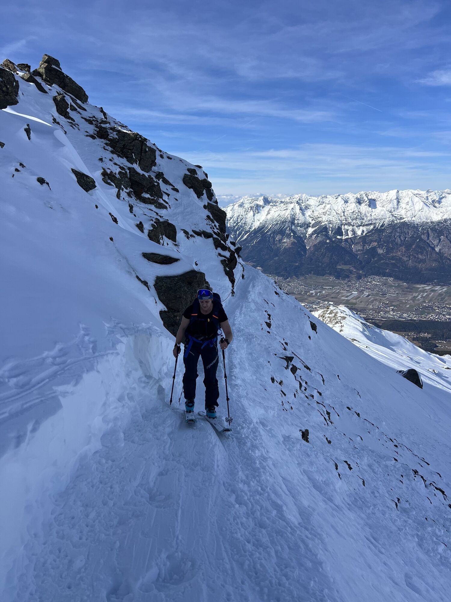
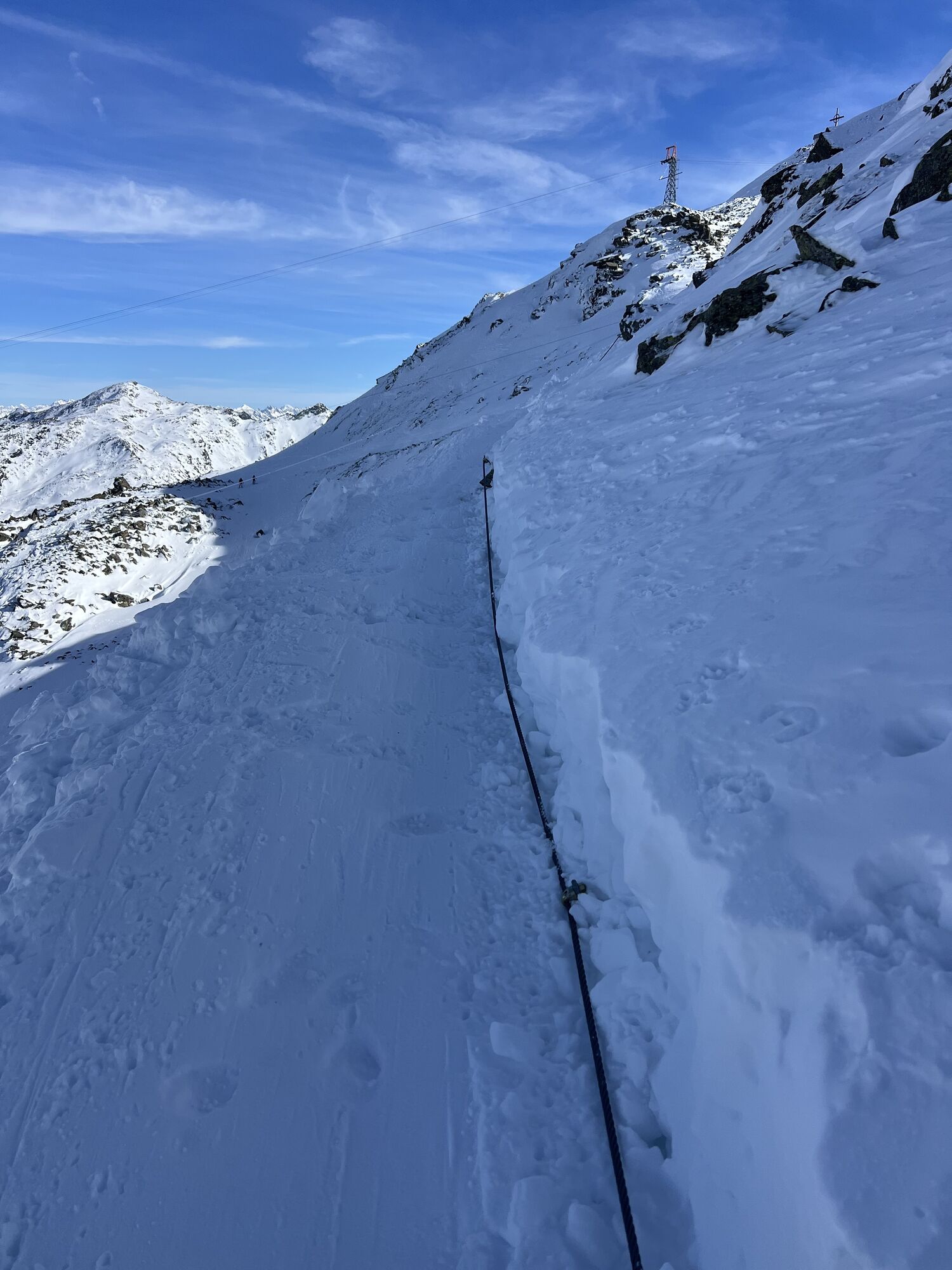
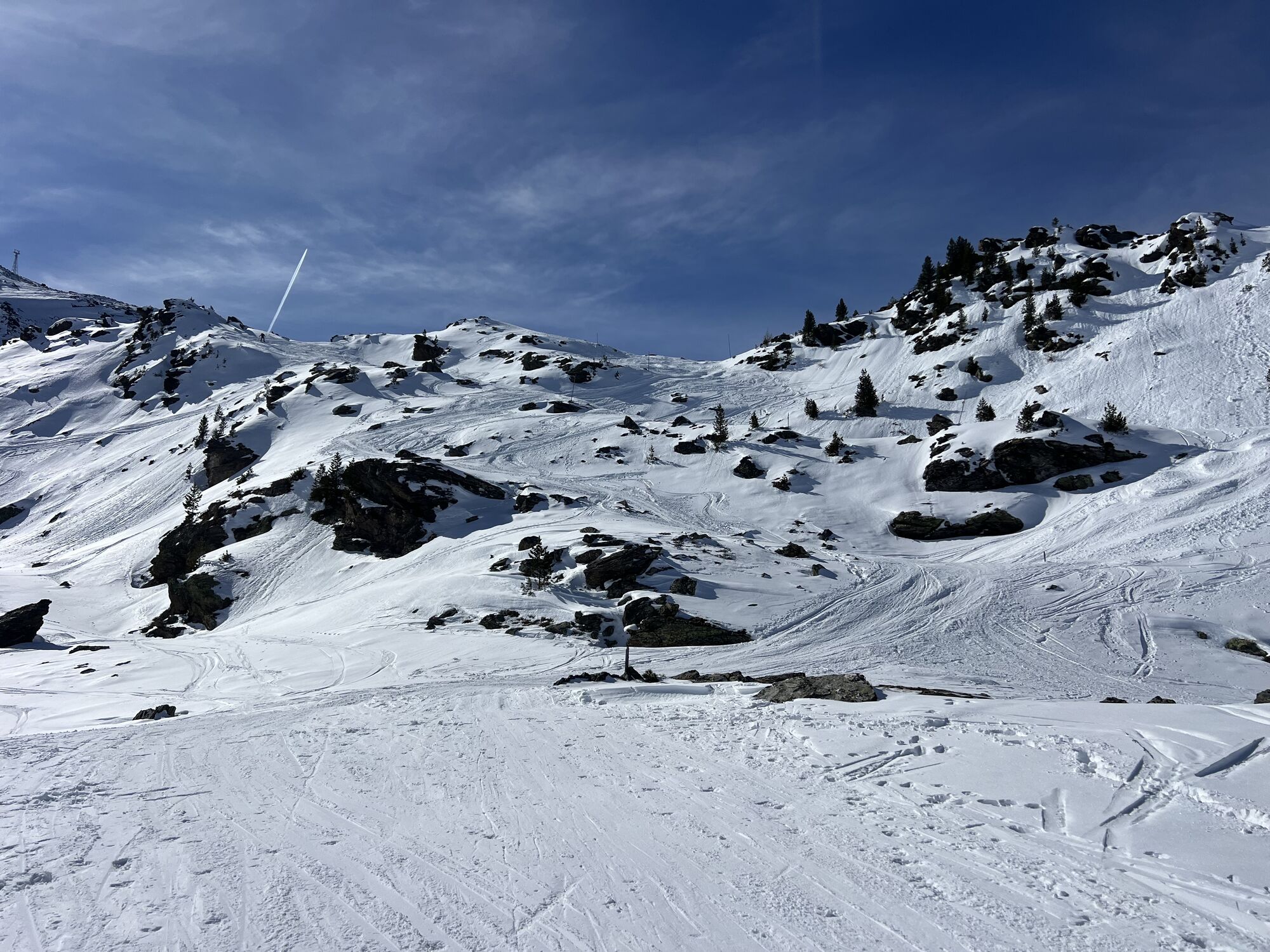
You can comfortably gondola up to the Tulfein mountain station with the Glungezer cable car. From here, hiking boots are tightened and in 1.5 to 2 hours you reach the summit of the Glungezer with its impressive summit panorama.

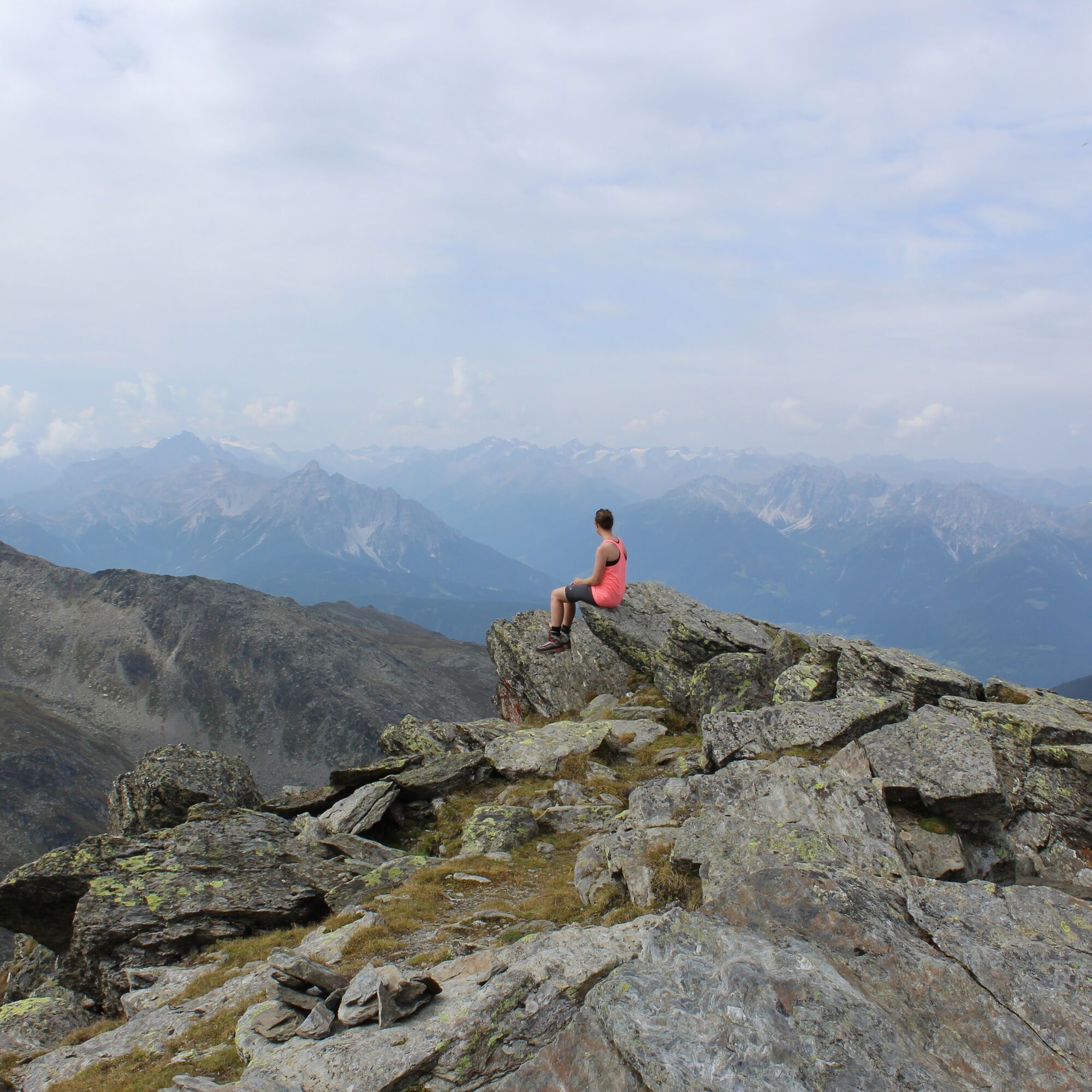
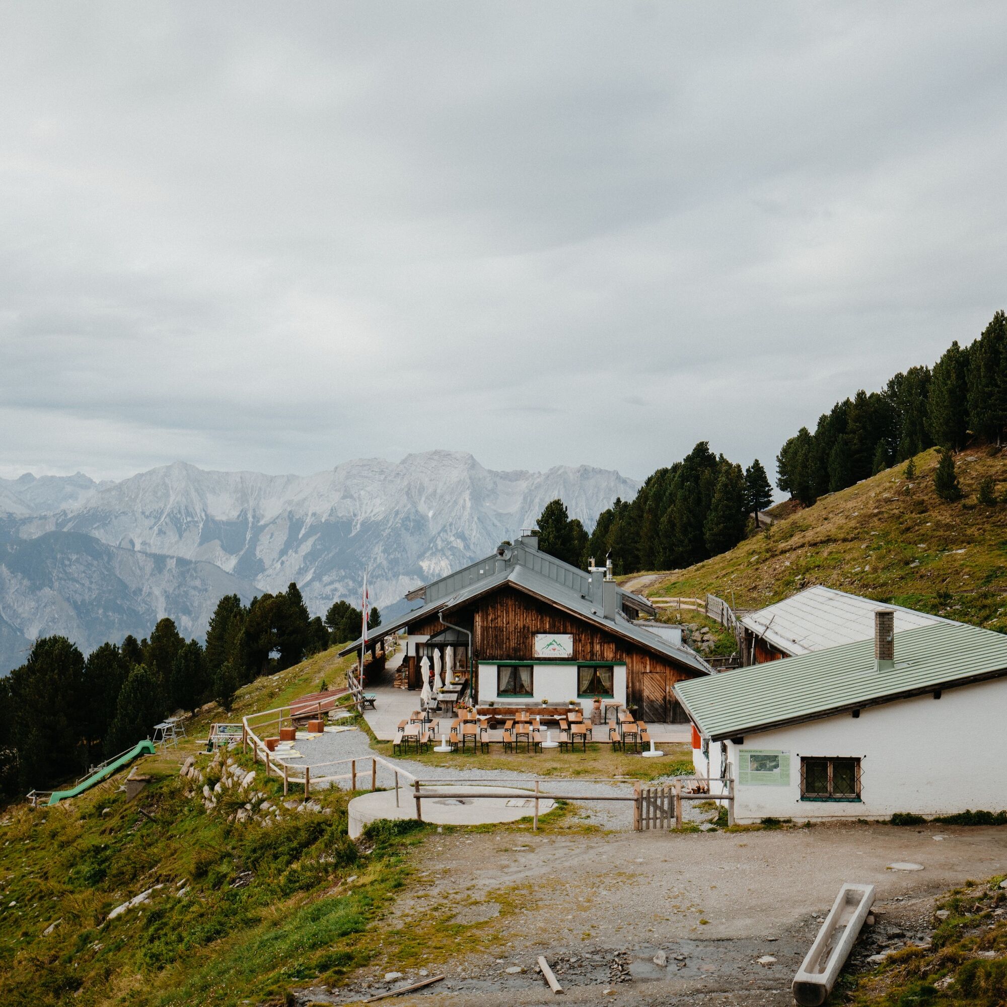
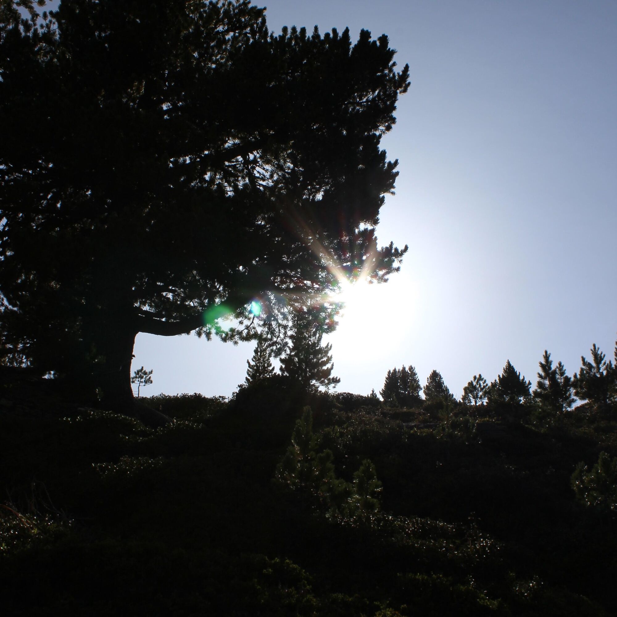
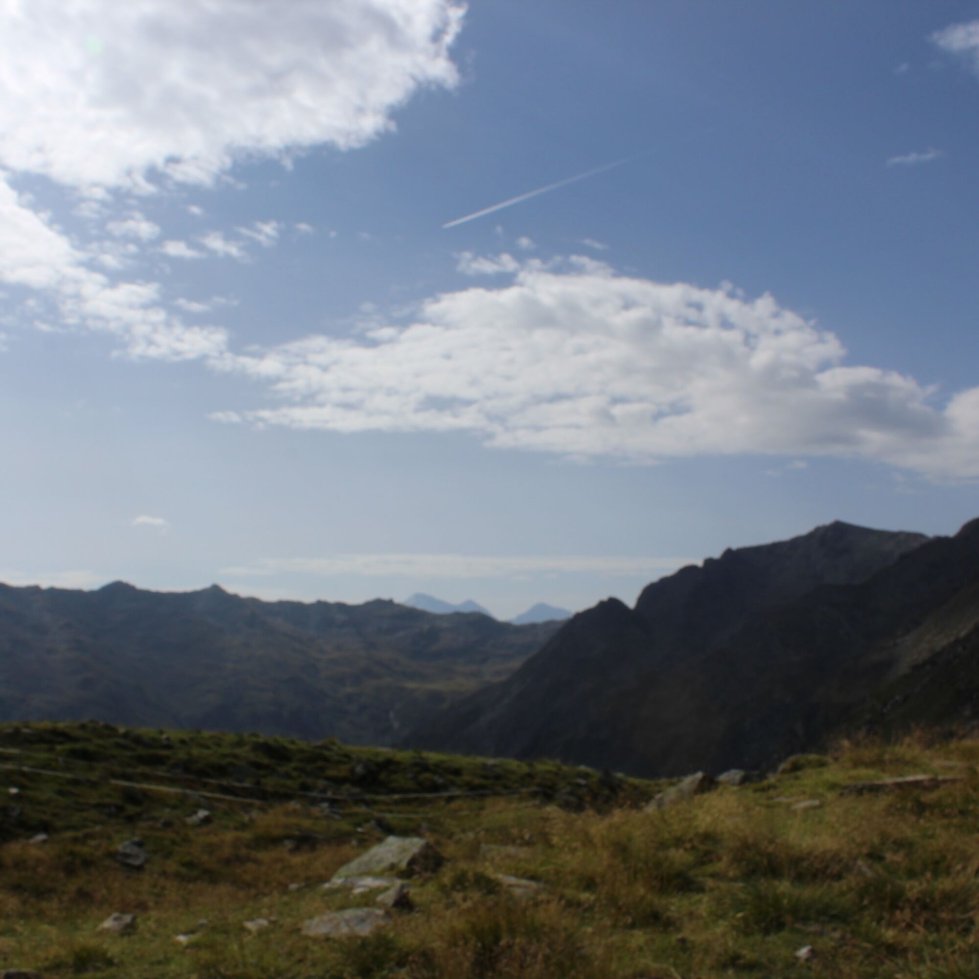
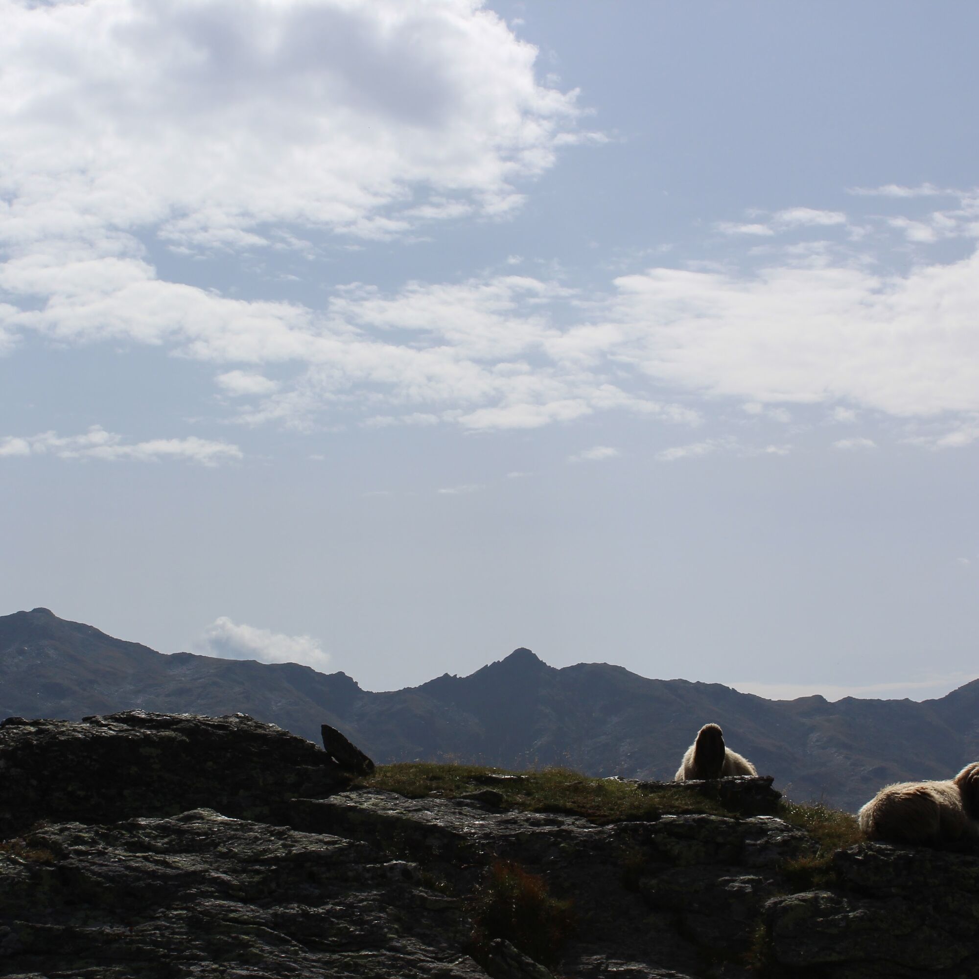
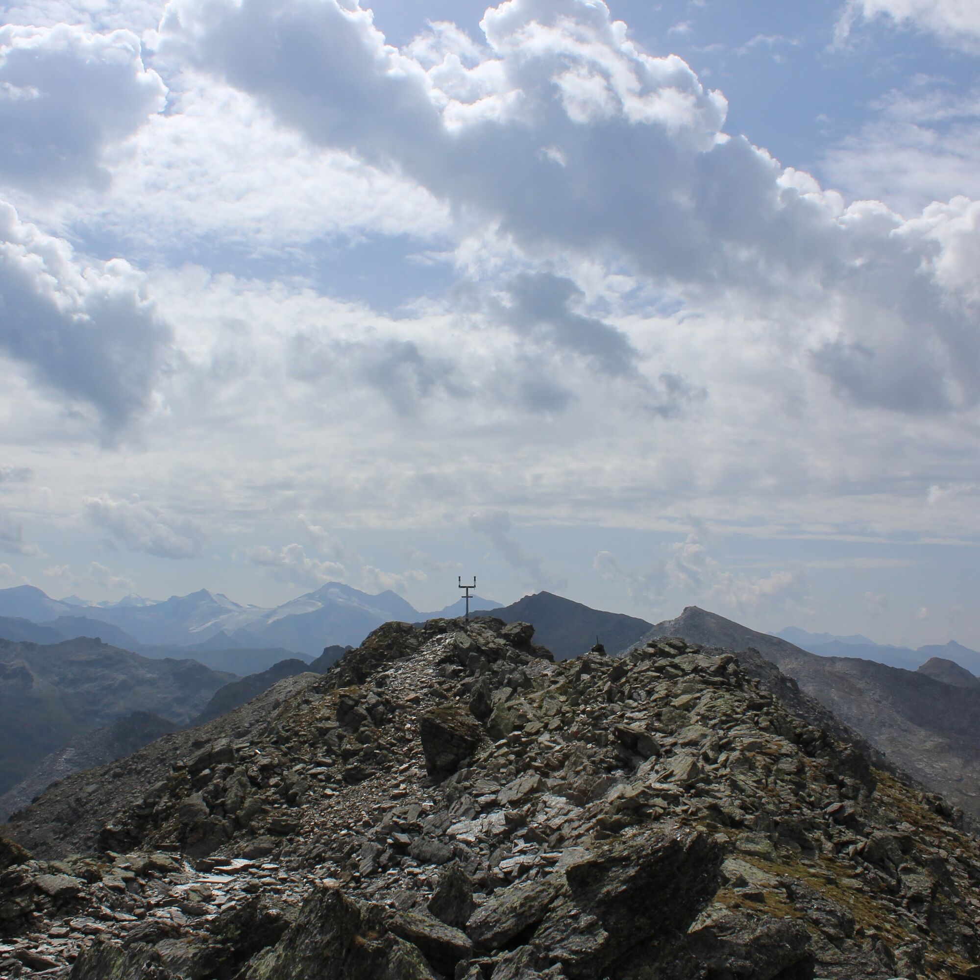
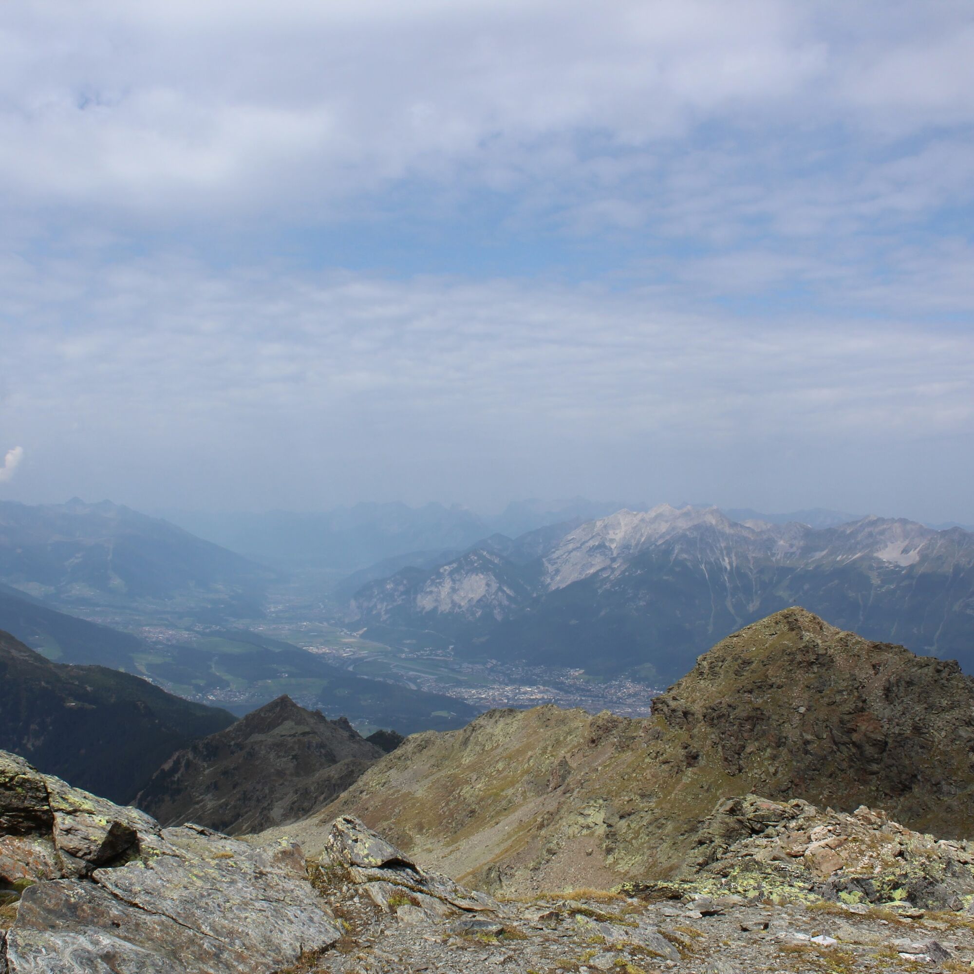

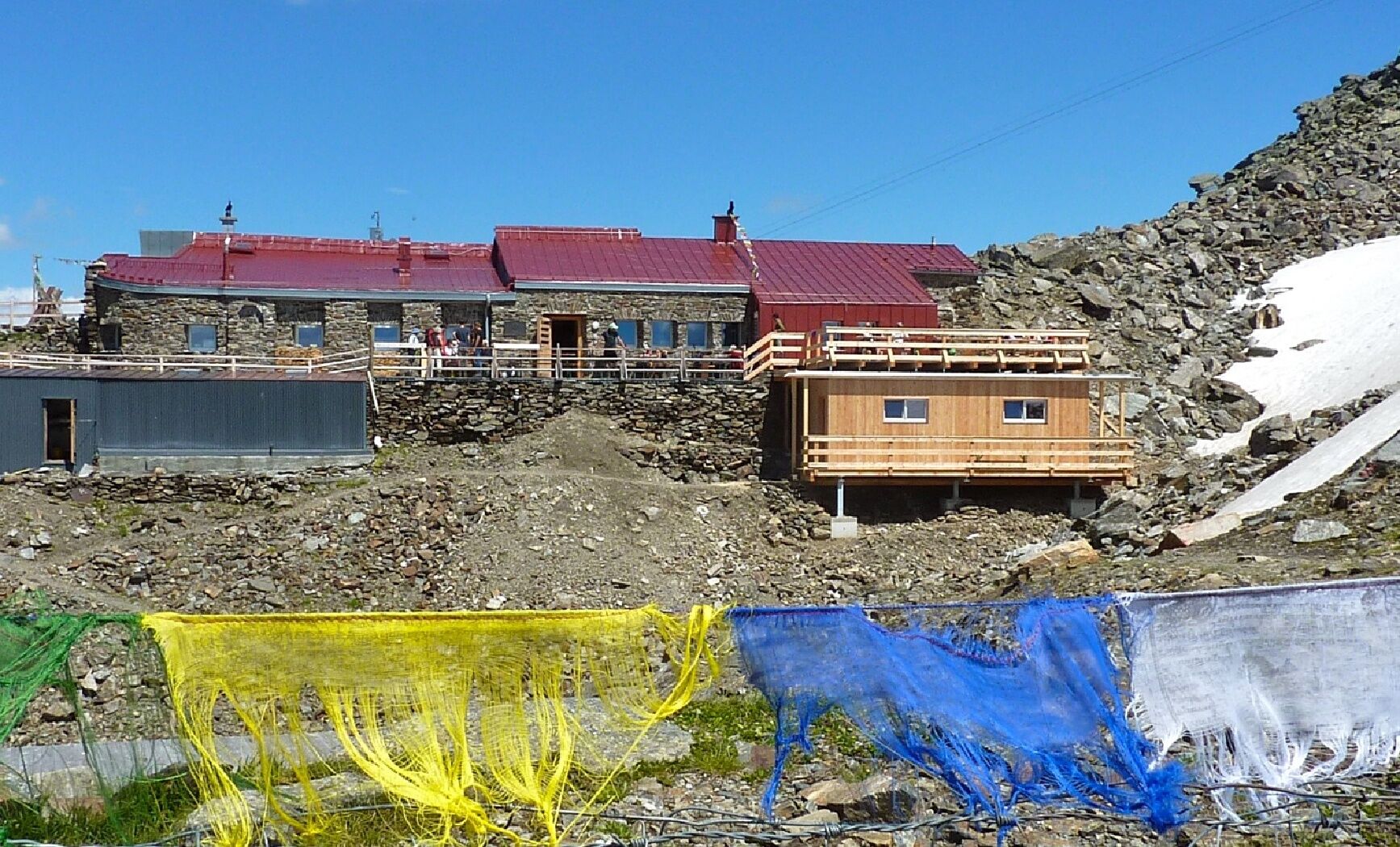

Take the Glungezer cable car up to the Tulfein mountain station. From here continue on foot to the Tulfeinjöchl.
Passing the Schaferhütte now with magnificent views following the Panorama Trail along the ridge. Shortly below the summit, the trail splits. Here you can either hike to the hut first, or directly to the summit and then stop for refreshment at the Glungezer Hut.
Tak
Tak
Tulfes - Tulfes Glungezer cable car
Bus 540 to the valley station of the Glungezer cable car
Tulfes Glungezer cable car
T2
 Uzyskaj wgląd Zawsze na żywo z ponad 9 500 kamer internetowych. bergfex Jako użytkownik Pro, możesz teraz zobaczyć odpowiednie kamery internetowe dla wielu wycieczek w aplikacji wycieczki od. Pozwala to na bezpośredni podgląd aktualnych warunków.
Popularne wycieczki w okolicy
- 4,8
Felix-Kuen via ferrata on the Hundskopf
ciężkiVia ferrata 2,18 km - 4,8
Seegrube - Hungerburg
średniWędrówka 5,04 km - 4,6
Patscherkofl
średniWędrówka 18,5 km - 4,9
Patscherkofel Gipfelrunde mit Zirbenweg
światłoWędrówka 6,52 km - 4,6
To the scenic Hochmahdkopf
średniWędrówka 8,31 km - 3,9
To the alpine inn St. Magdalena in the Halltal
średniWędrówka 7,24 km - 4,5
Up to the Largoz
średniWędrówka 7,01 km - 4,8
Halltal - Bettelwurfhütte - Kleiner und Großer Bettelwurf
ciężkiWycieczka wysokogórska 16,2 km - 4,9
3 Almen Karwendelrunde MTB Route 408
ciężkiMountainbike 23,8 km - 4,7
Muttereralm Skitourentrack
światłoWycieczka narciarska 3,23 km
Wędrówki i tropienie


Nie przegap ofert i inspiracji na następne wakacje
Twój adres e-mail została dodana do listy mailingowej.





