


Circular hike suspension bridge Isel Canyon via Gries
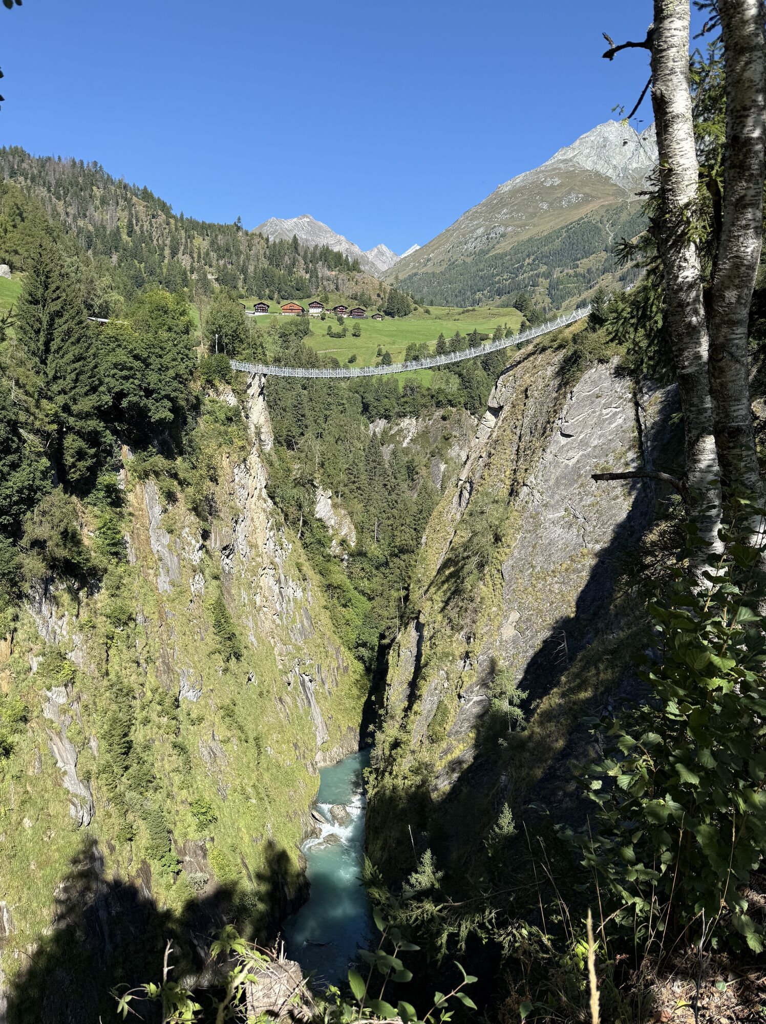
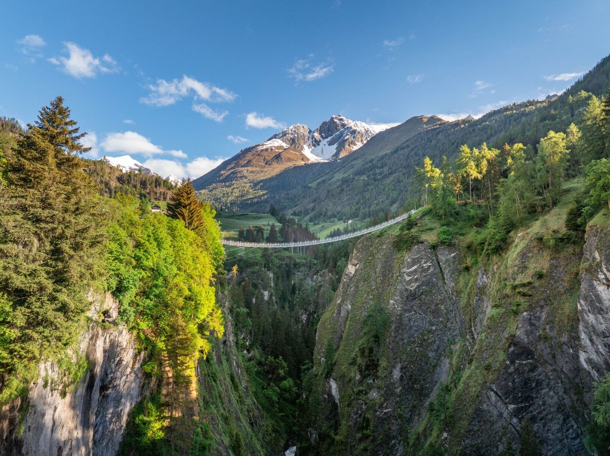
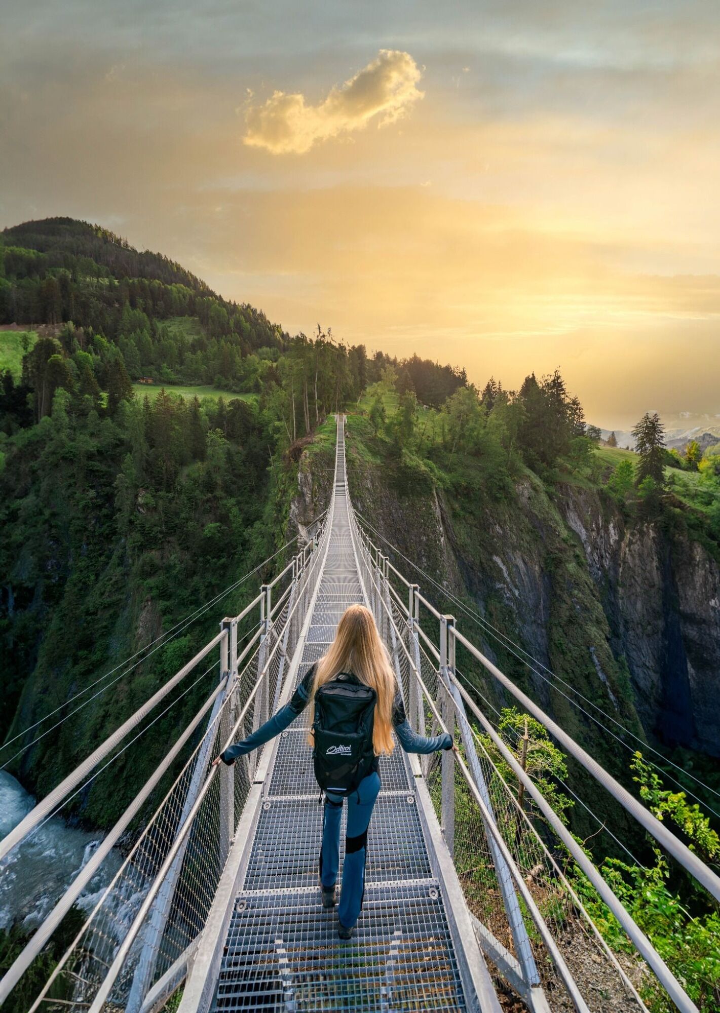
From the bus stop in Obermauern, follow trail no. 46 to the suspension bridge. After the suspension bridge, turn left into the Welzelach district. The Silvester Chapel on the left-hand side is open during...
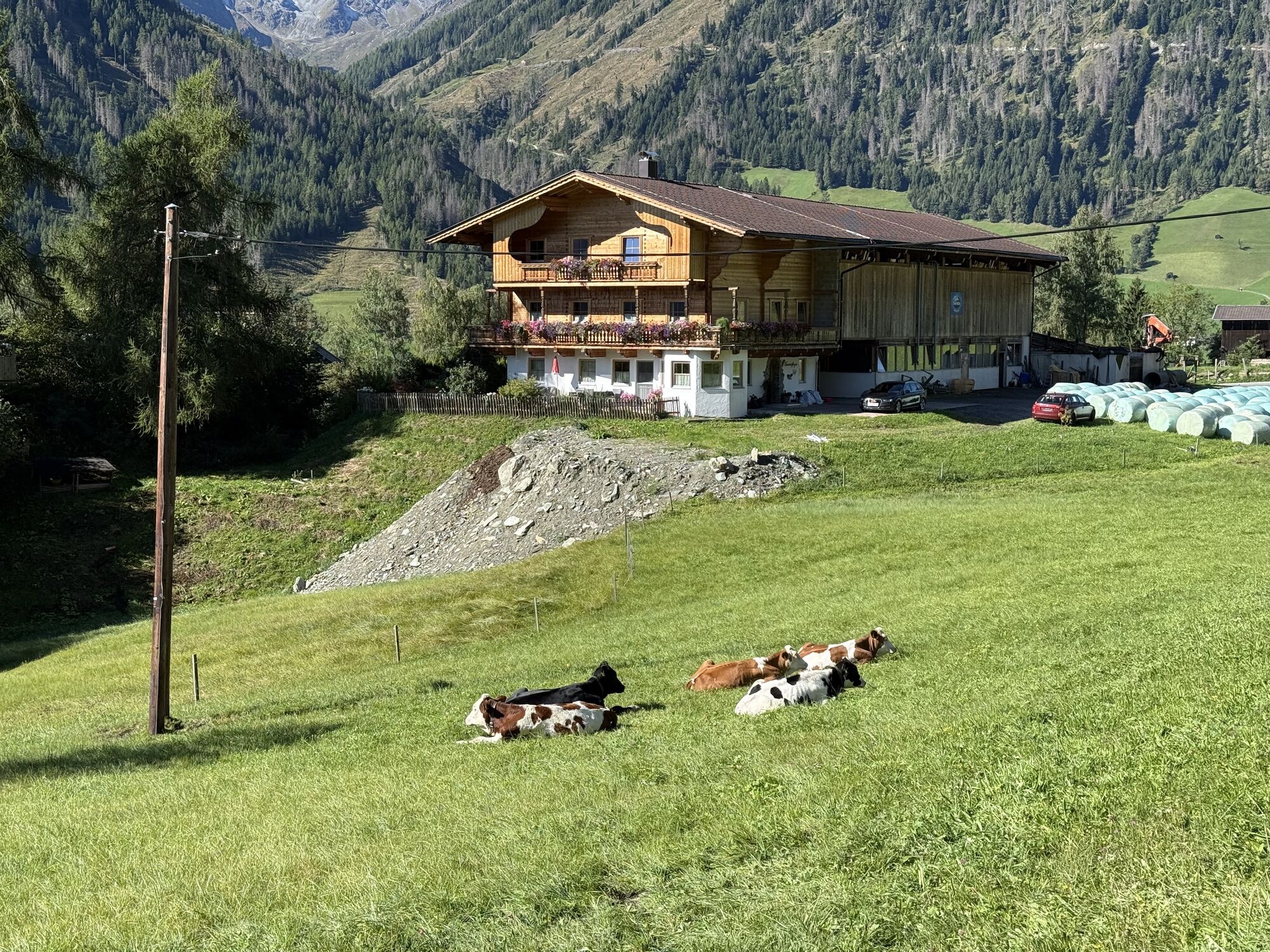
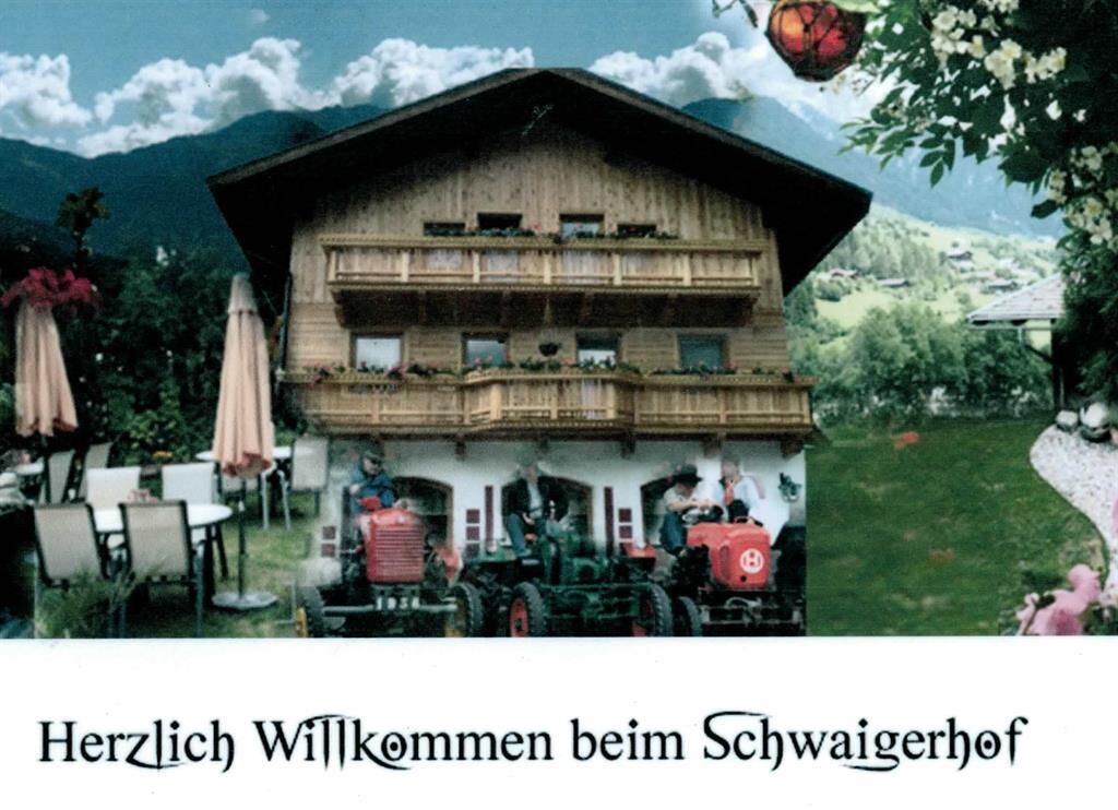
From the bus stop in Obermauern, follow trail no. 46 to the suspension bridge. After the suspension bridge, turn left into the Welzelach district. The Silvester Chapel on the left-hand side is open during the day and can be visited. The trail then continues into the district of Gries. A stop at Gasthof Schwaigerhof is more than worthwhile: a sun terrace, a large children's playground and friendly service round off the Tyrolean inn experience. TIP: Be sure to try the ice cream creations! After the Schwaigerhof, cross the bridge and take the second path (path no. 47) on the left-hand side into the Obermauern district.
Bus stop Obermauern
Car park Suspension bridge

Popularne wycieczki w okolicy
- 4,8
NaturKraftWeg Umbalfälle
światłoTrasa tematyczna 5,99 km - 4,1
Gletscherlehrweg Innergschlöß
średniWędrówka 9,36 km - 4,5
Circular hike Proßeggklamm
średniWędrówka 8,41 km - 5,0
Rotenkogel
ciężkiWędrówka 4,22 km - 4,6
Vom Matreier Tauernhaus über die Felsenkapelle nach Innergschlöss
światłoWędrówka 9,19 km - 4,8
Stoden - Clarahütte
średniWędrówka 7,12 km - 4,9
Circular hike suspension bridge Isel Canyon via "Hohe Bank"
średniWędrówka 8,11 km - 4,7
Wiesbauerspitze 2.767 m
średniWędrówka 9,66 km - 4,2
Seespitze
średniWędrówka 13,7 km - 5,0
Muhs-Panoramaweg
średniWędrówka 14,0 km
Wędrówki i tropienie


Nie przegap ofert i inspiracji na następne wakacje
Twój adres e-mail została dodana do listy mailingowej.