



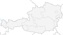


Walk "Sonnenseite Klaunzerberg"
From the Korberplatz car park, head first towards the bridge over the Bretterwandbach stream. Right by the stream, follow the wide gravel path on the right-hand side. After about 500 metres, you’ll come...
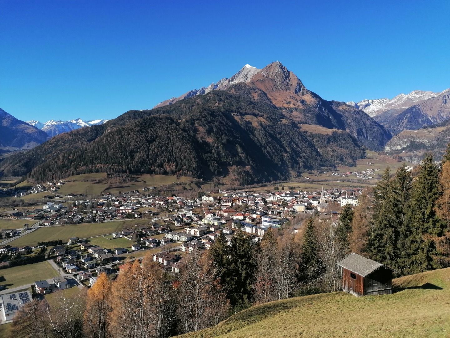
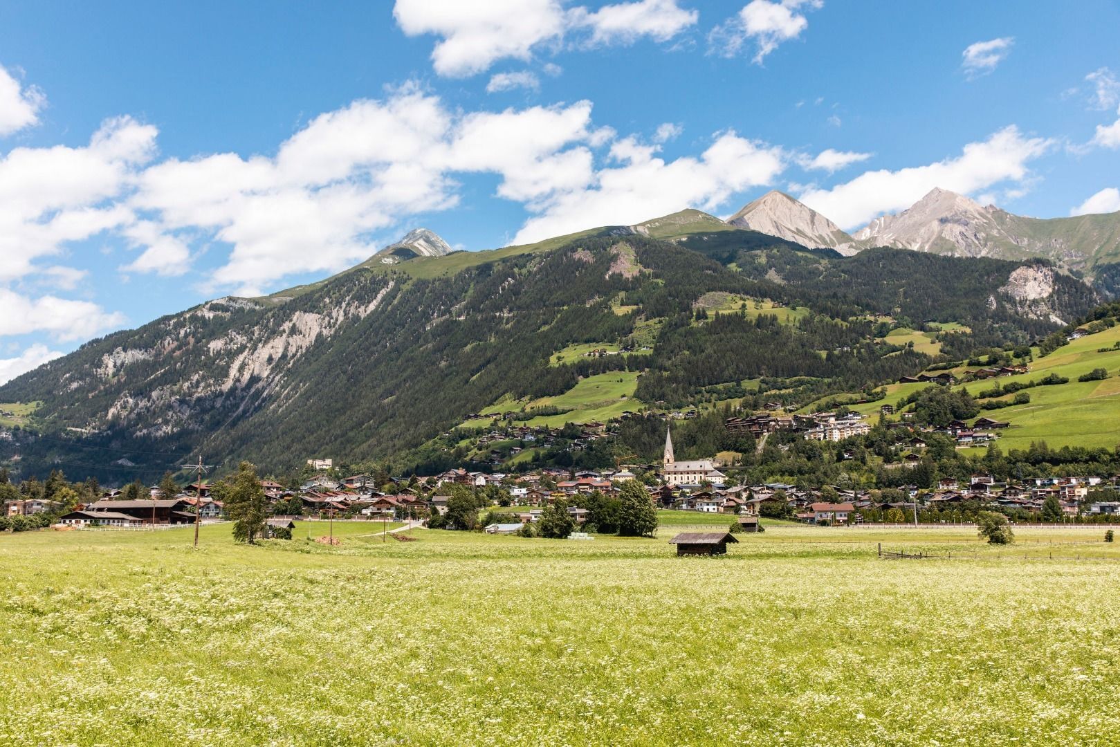
From the Korberplatz car park, head first towards the bridge over the Bretterwandbach stream. Right by the stream, follow the wide gravel path on the right-hand side. After about 500 metres, you’ll come to a bridge offering a lovely view of the weir on the Bretterwandbach. Here, follow the Way of the Cross on the right-hand side. After a further 200 metres, you reach the Klaunz Chapel. The idyllically situated chapel – also known as the “Klaunz Kirchle” – was built in the 18th century and consecrated in honour of the Virgin Mary. You then walk along the road leading off to the right until you reach Haus Klaunz 27. Here, you turn left and follow the path to the next junction. At this junction, keep left and follow the Inner Klaunzerberg for a while. In front of the “Kölln” farm, a forest path branches off, which subsequently leads onto the Outer Klaunzer farm track. Follow this path, past the Huberhof and then past the Hotel Goldried, to return to the starting point.



Bus stop Korberplatz
Car park Korberplatz

 Uzyskaj wgląd Zawsze na żywo z ponad 9 500 kamer internetowych. bergfex Jako użytkownik Pro, możesz teraz zobaczyć odpowiednie kamery internetowe dla wielu wycieczek w aplikacji wycieczki od. Pozwala to na bezpośredni podgląd aktualnych warunków.
 Popularne wycieczki w okolicy
- 4,5
Circular hike Proßeggklamm
średniWędrówka 8,41 km - 4,9
Glockner
średniWycieczka wysokogórska 19 km - 4,3
Stüdlhütte -Großglockner
Wędrówka 4,68 km - 5,0
Rotenkogel
ciężkiWędrówka 4,22 km - 4,3
Lucknerhaus zur Glorerhütte über Lucknerhütte zurück
średniWędrówka 11,2 km - 4,0
Böses Weibele, 3119m, Lucknerhaus
ciężkiWędrówka 13,8 km - 4,5
Großglockner Normalweg (1-Tages-Tour) - Top of Austria 3798m
ciężkiWycieczka wysokogórska 19,9 km - 5,0
Figerhorn, 2743m, Lucknerhaus
średniWędrówka 6,69 km - 4,9
Circular hike suspension bridge Isel Canyon via "Hohe Bank"
średniWędrówka 8,11 km - 4,5
Lucknerhütte vom Lucknerhaus
średniWycieczki górskie 4,81 km
Wędrówki i tropienie


Nie przegap ofert i inspiracji na następne wakacje
Twój adres e-mail została dodana do listy mailingowej.





