






Porze über Klettersteig
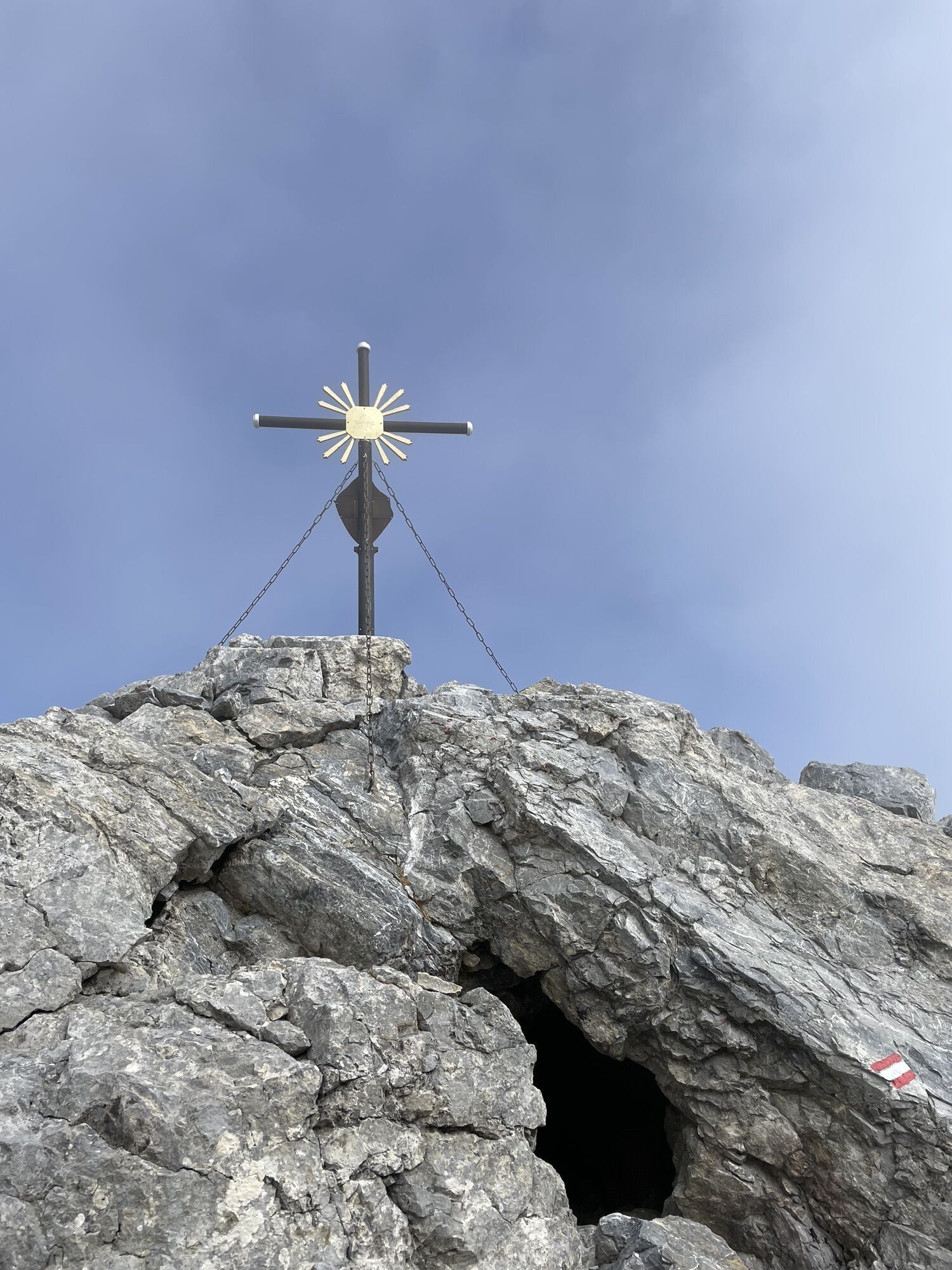
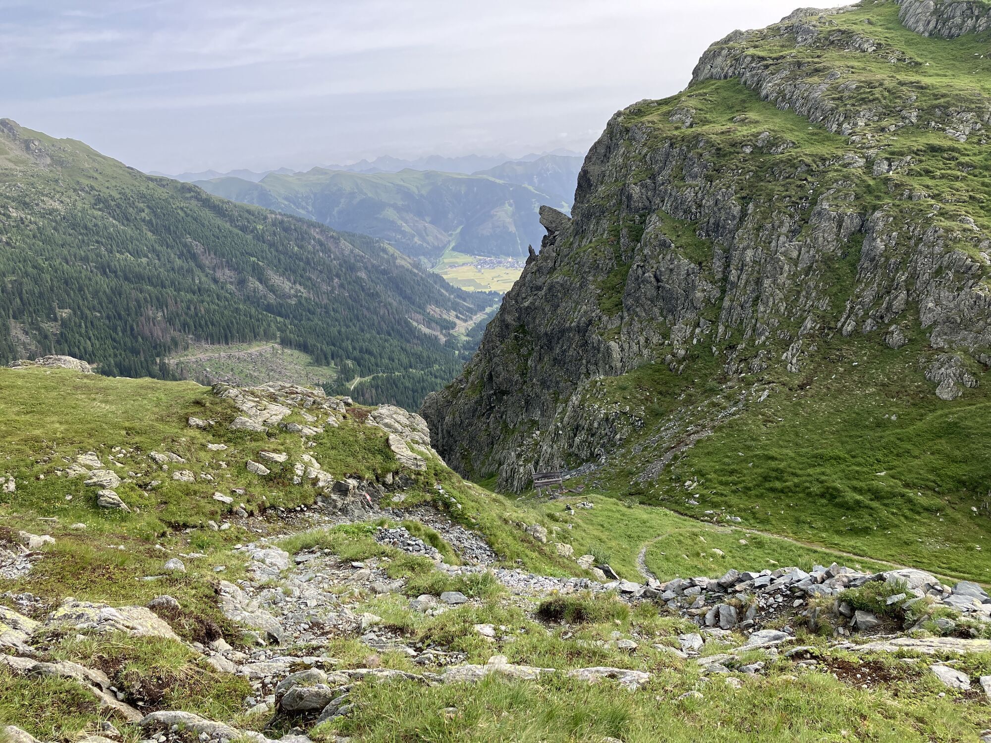
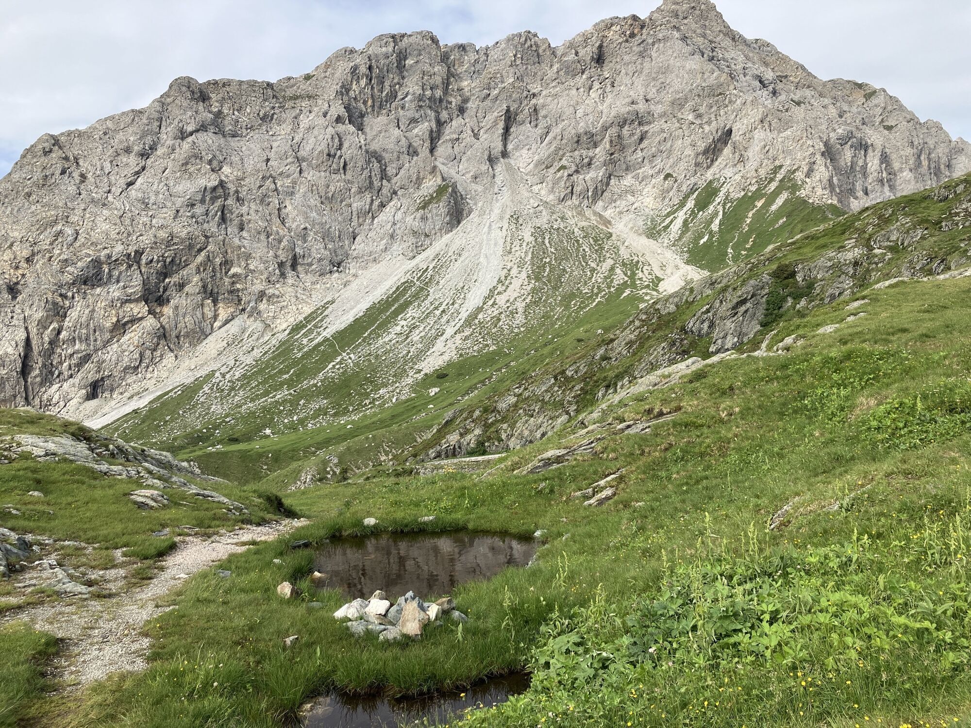
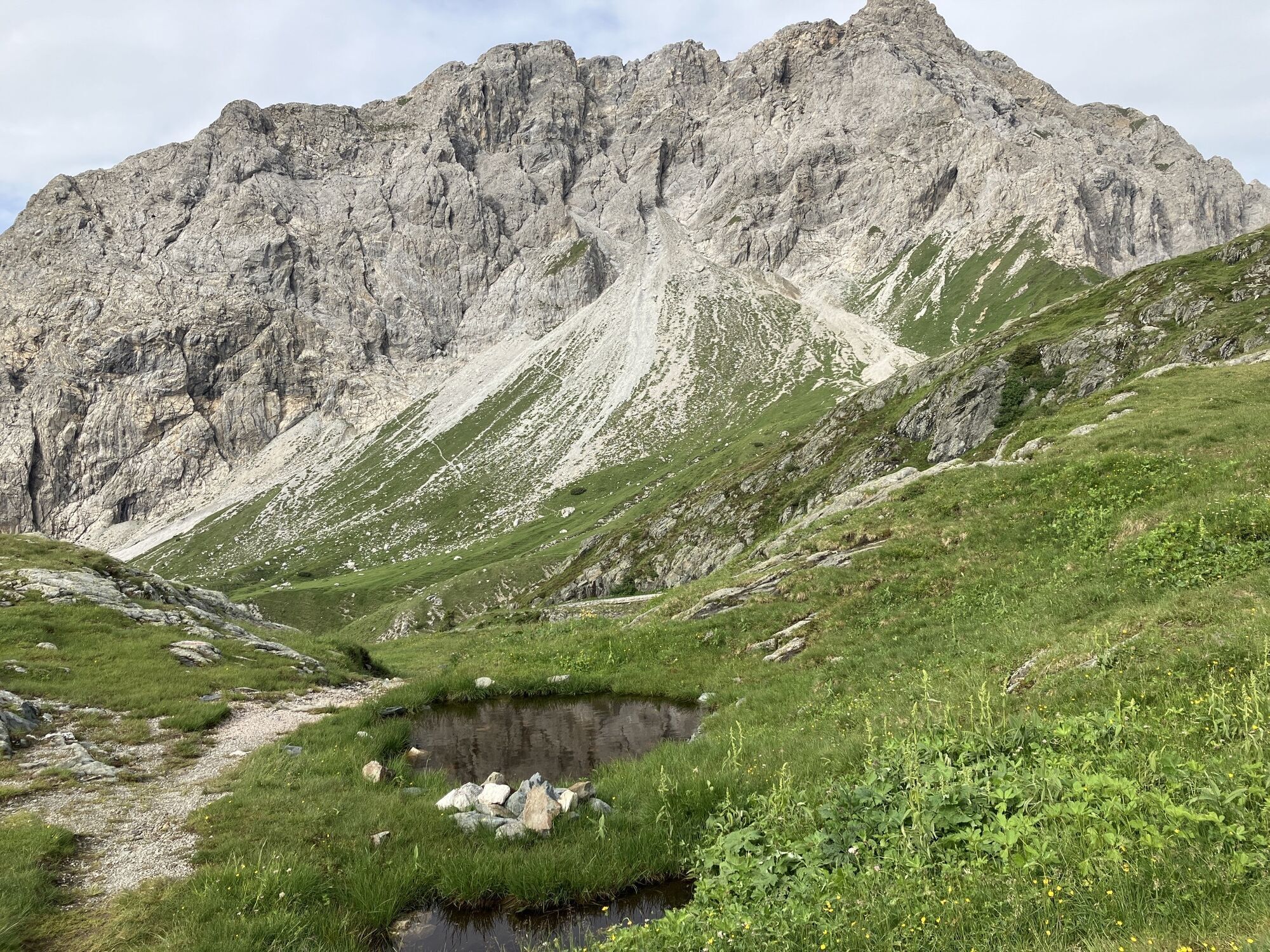
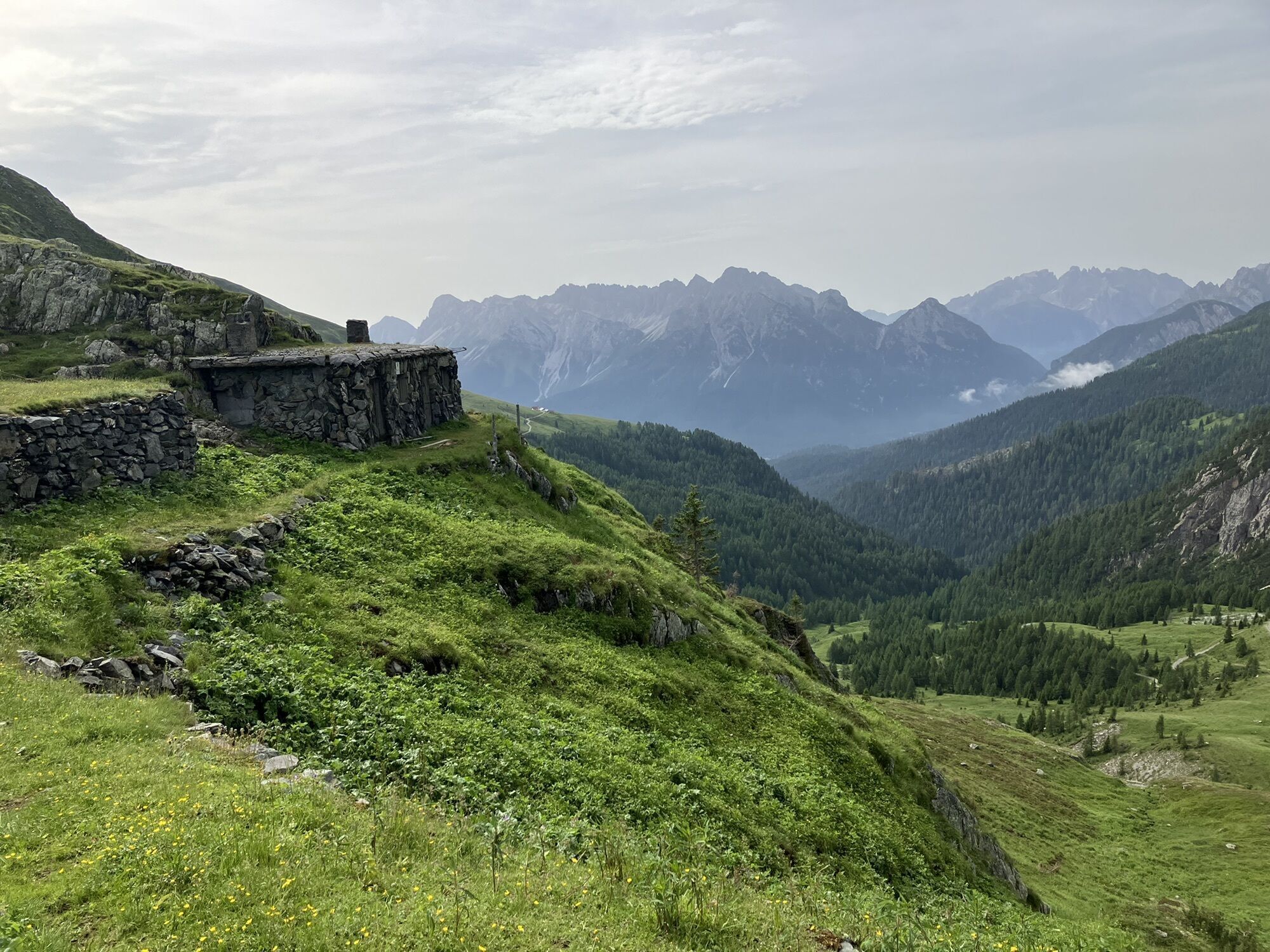
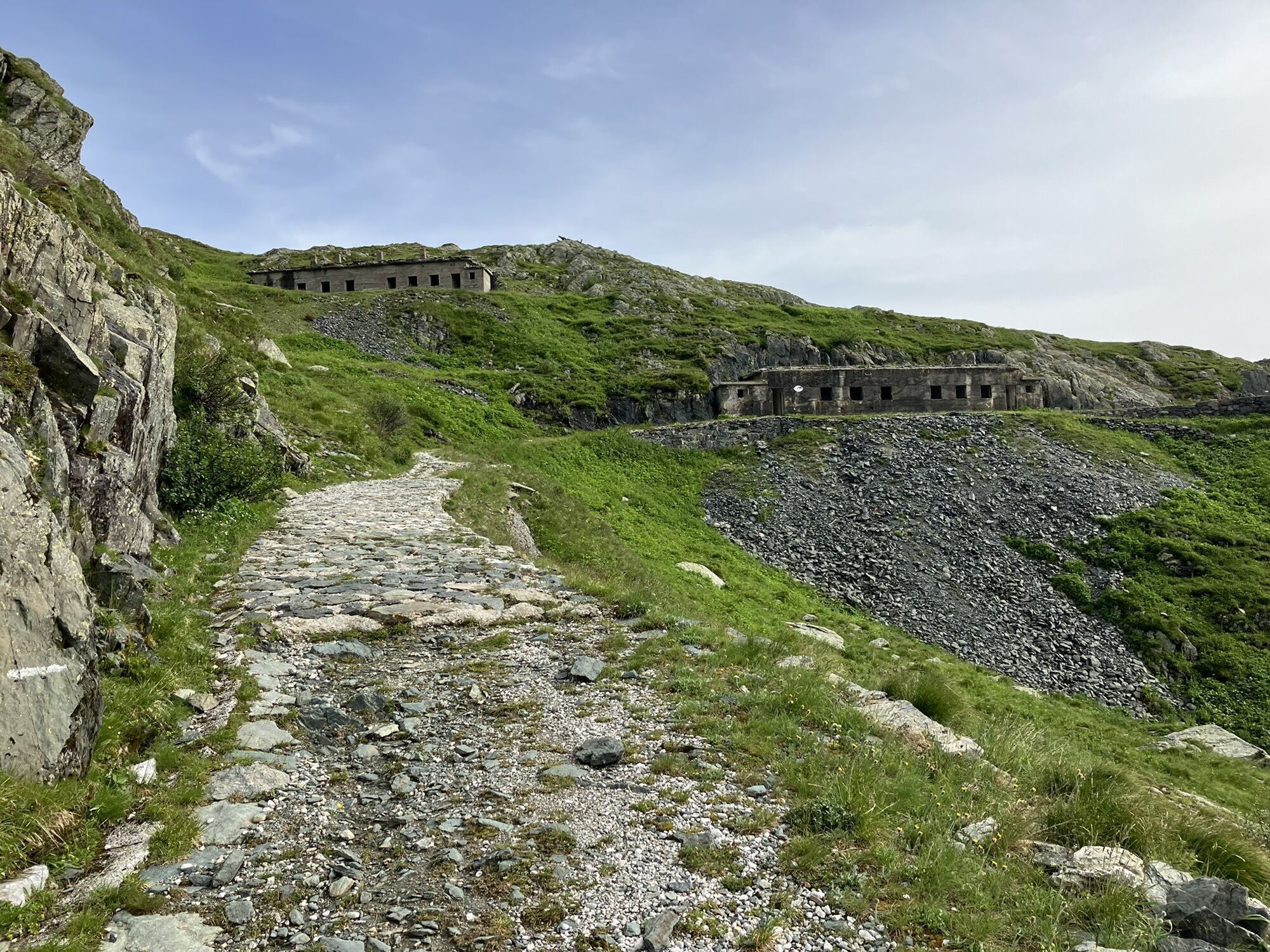
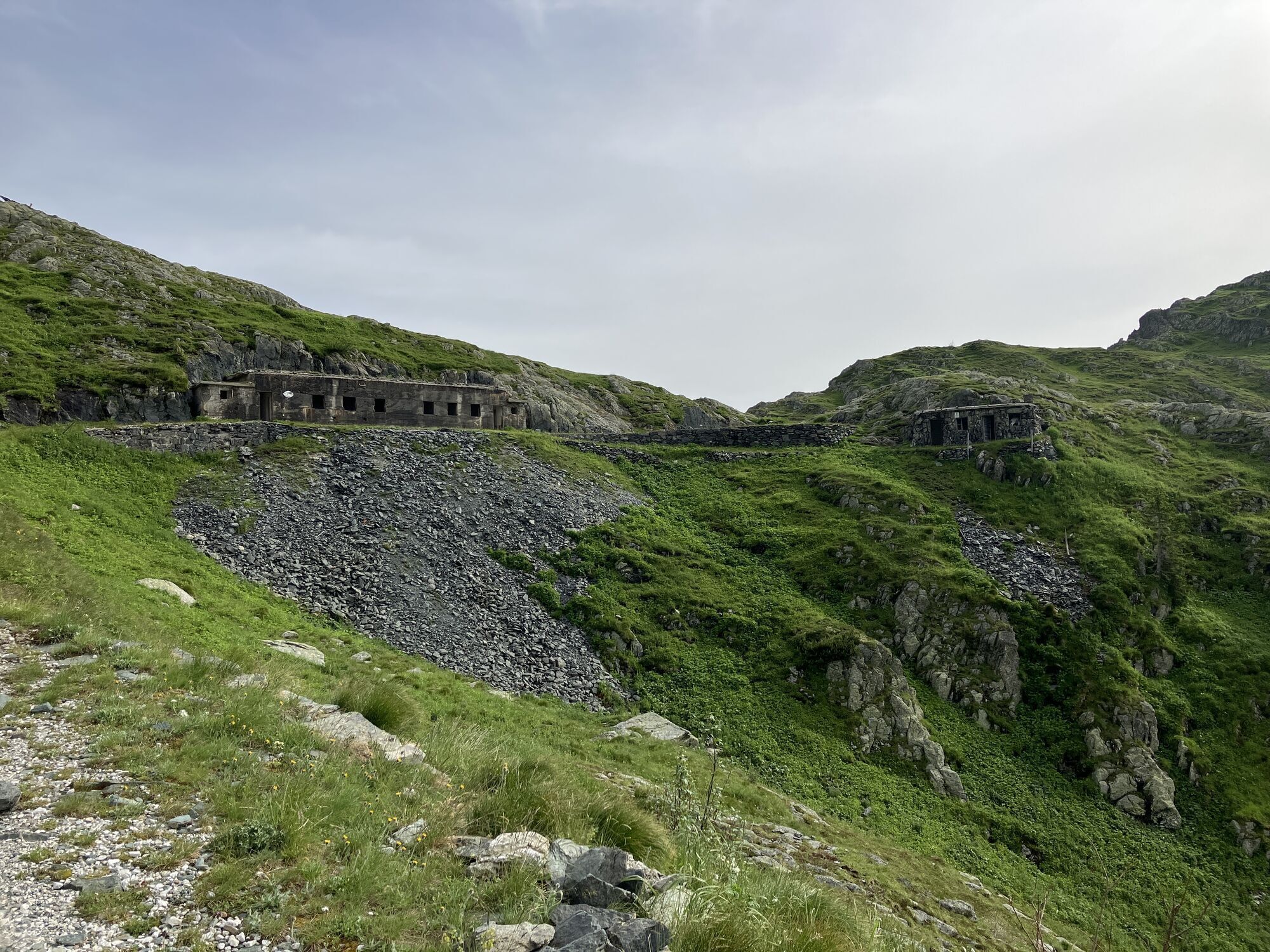
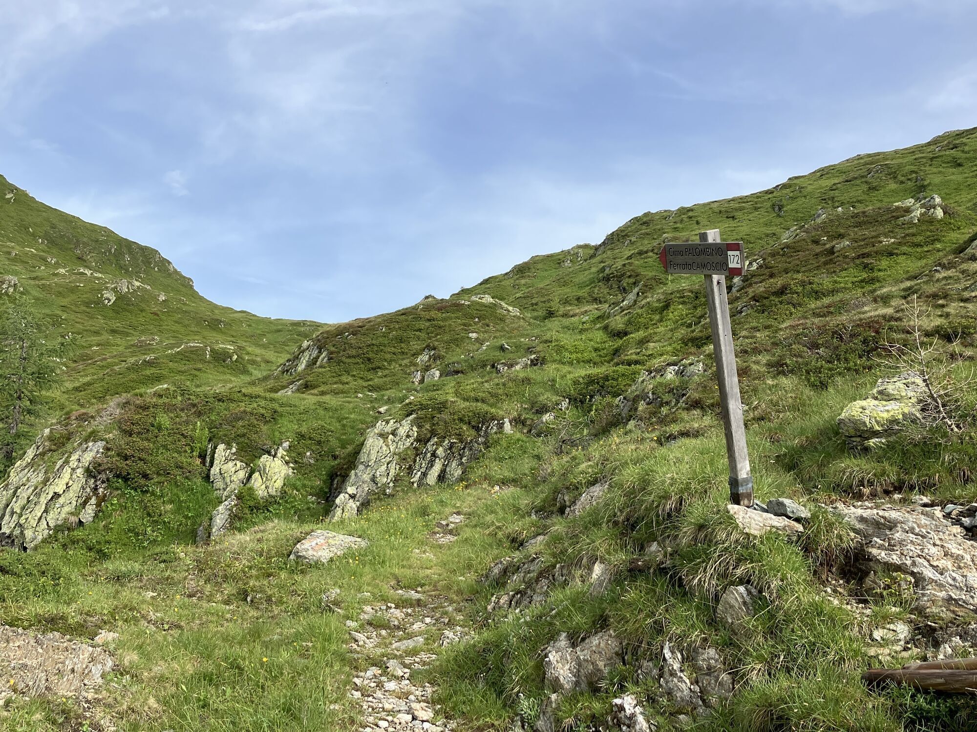
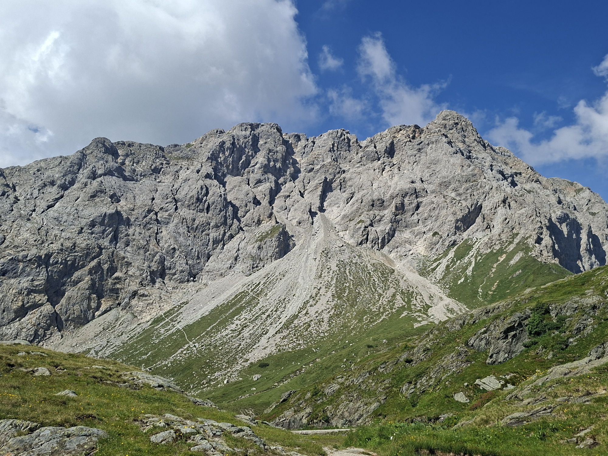
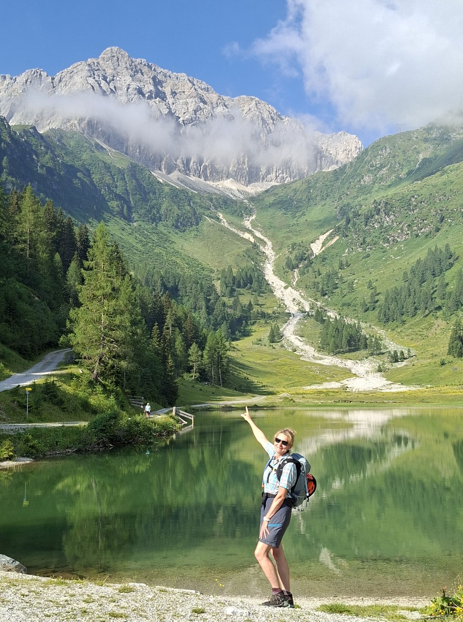
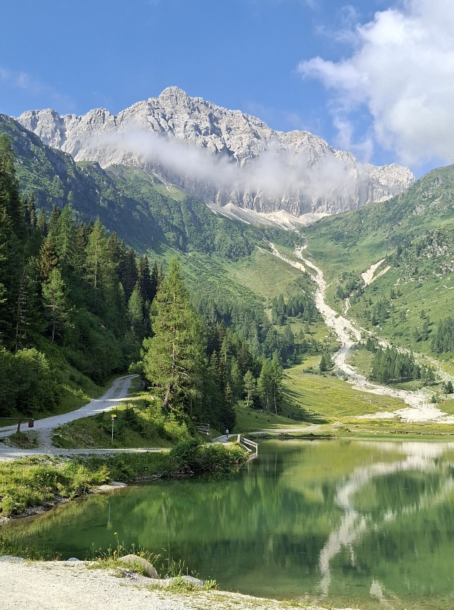
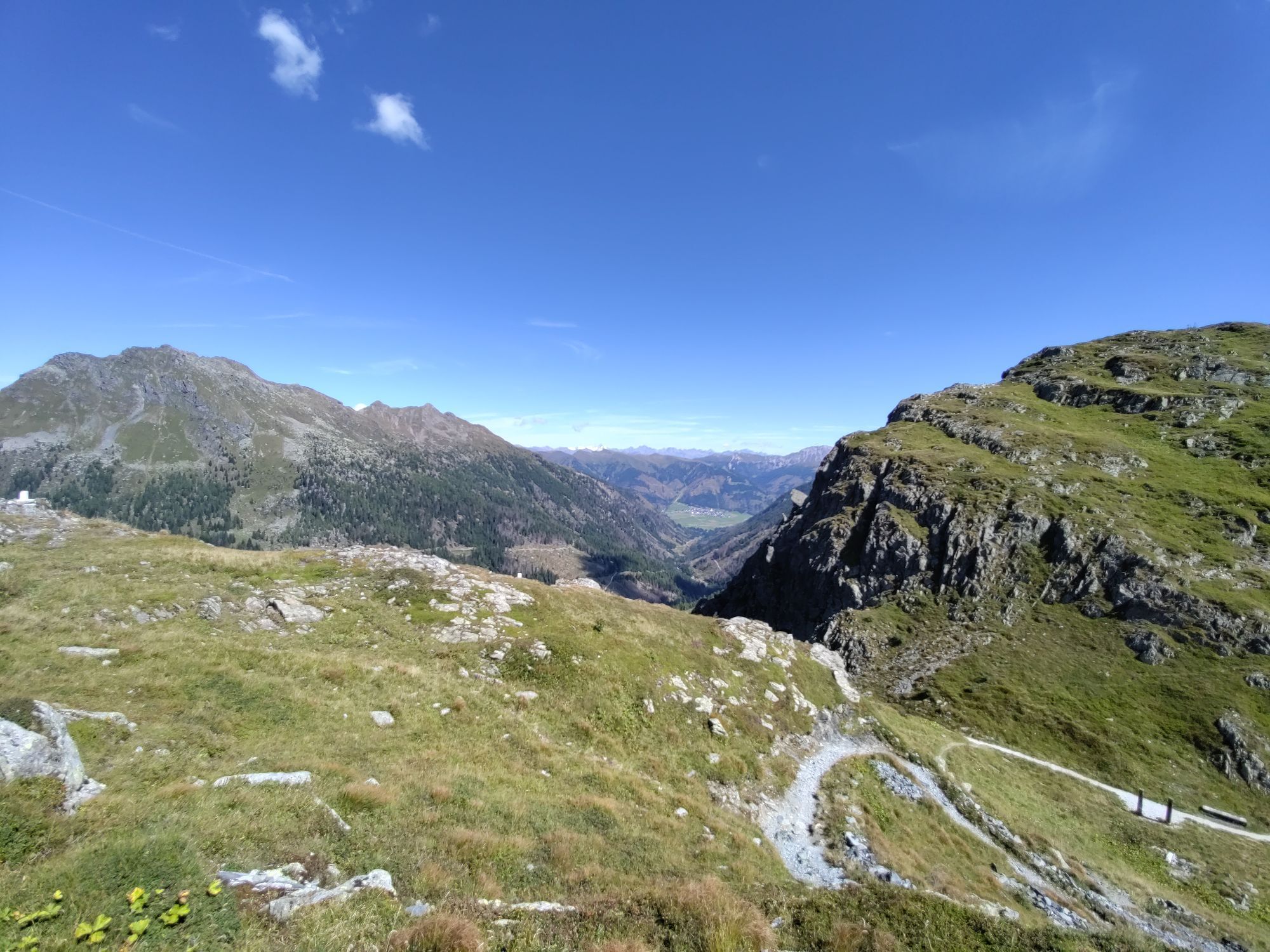
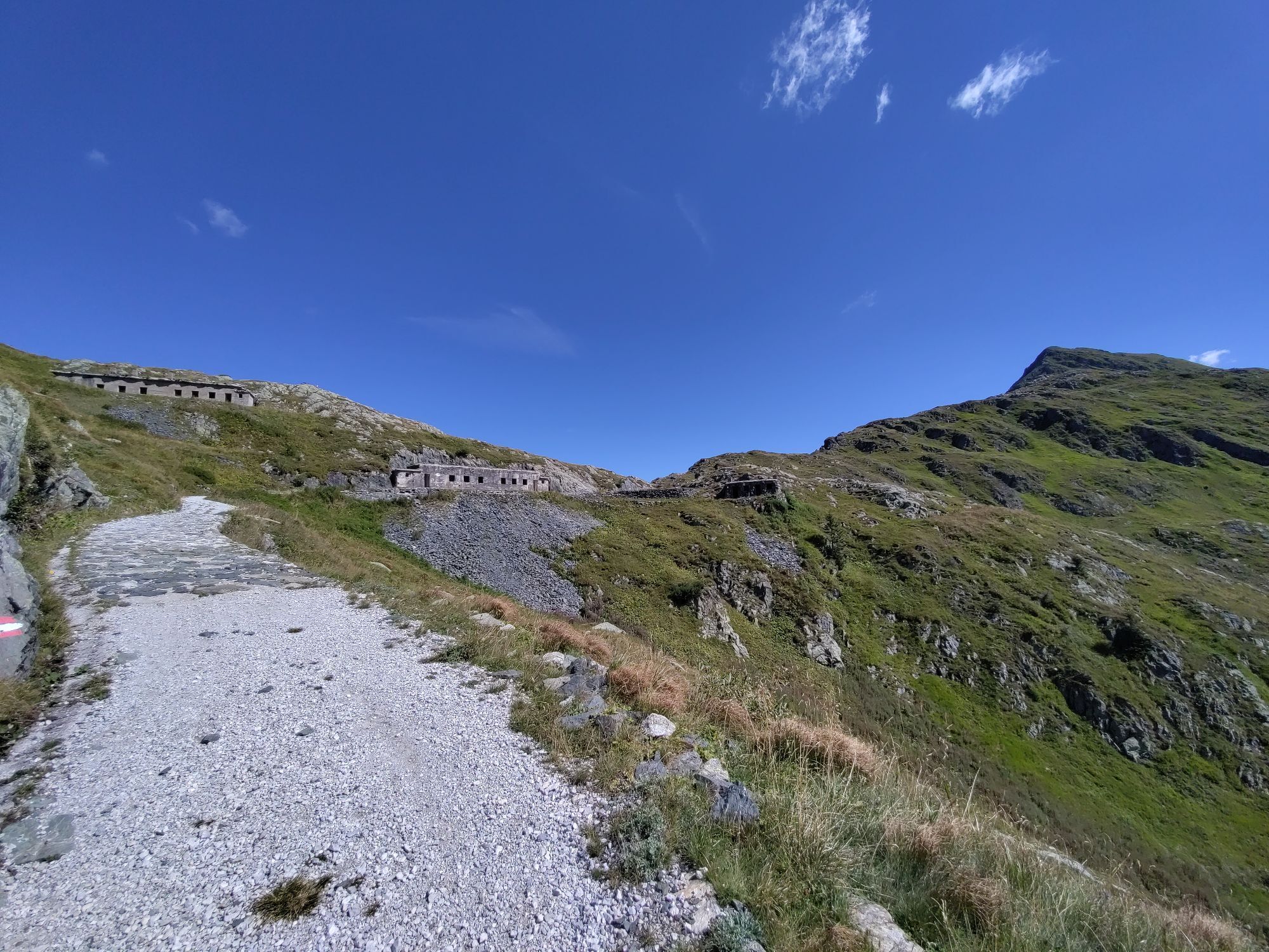
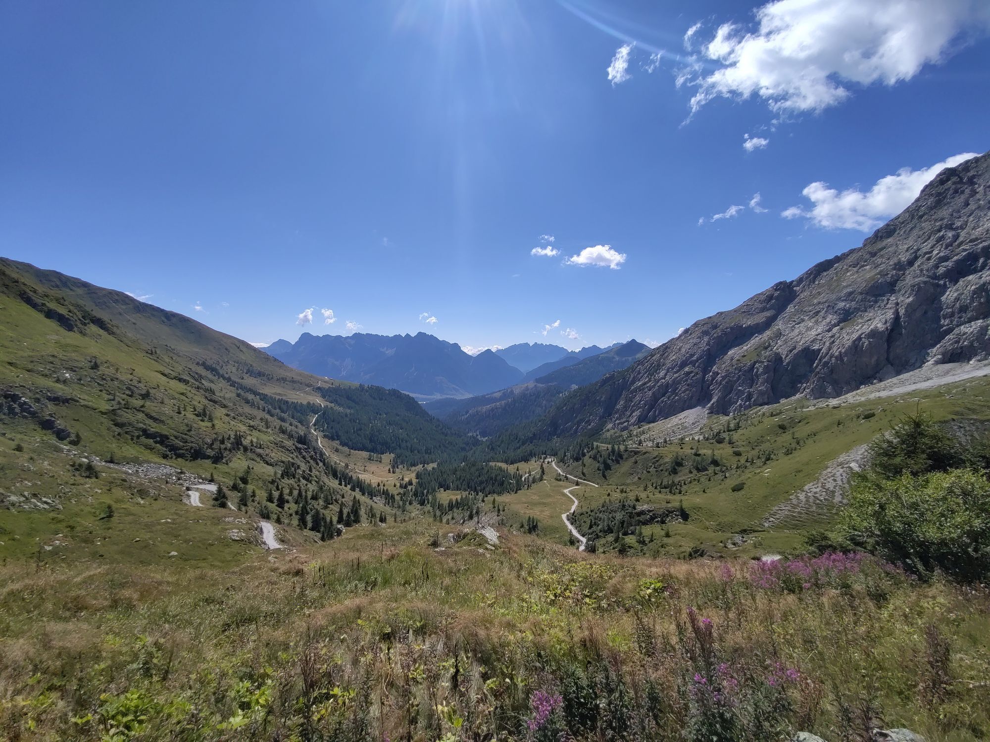
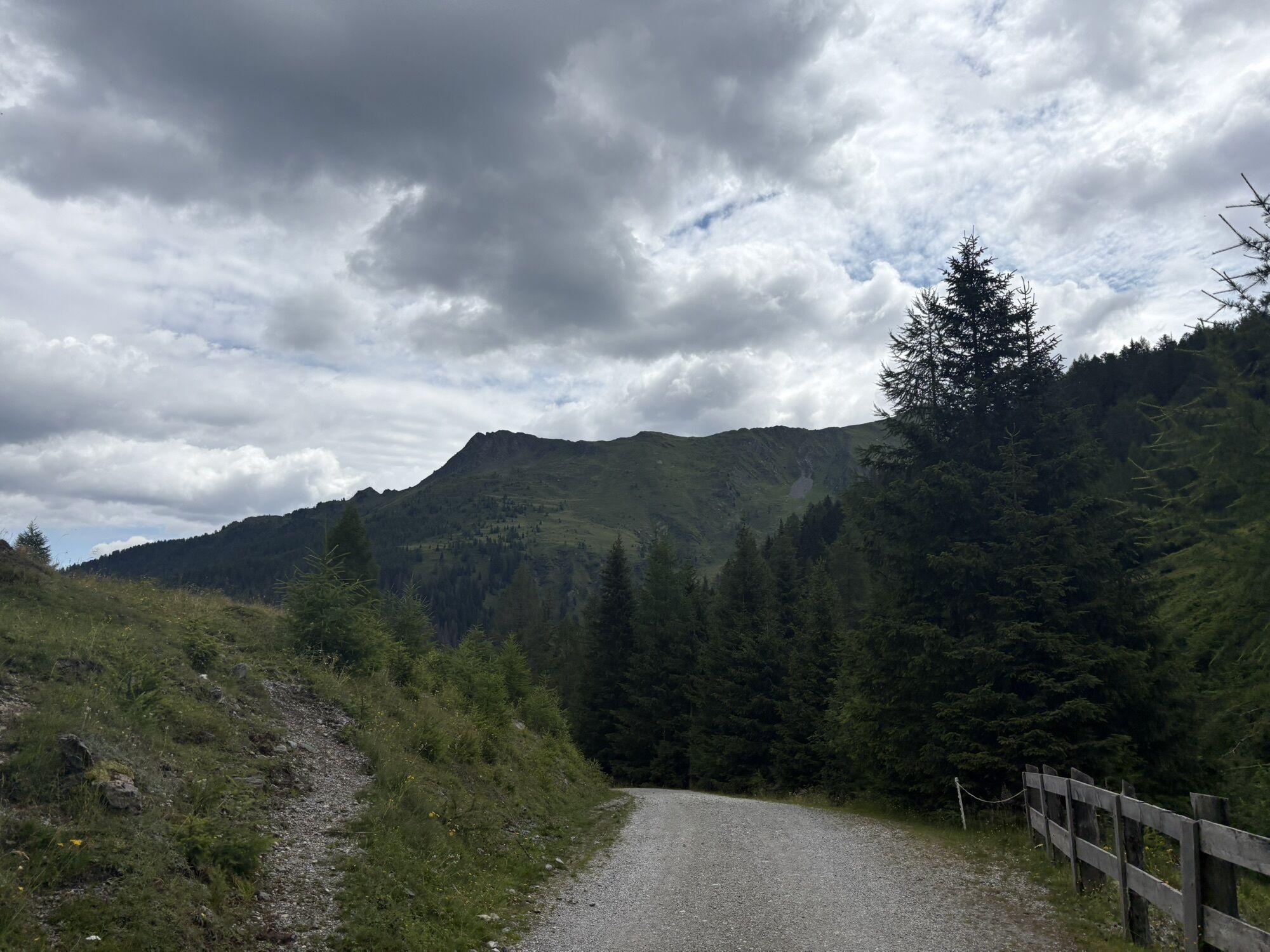
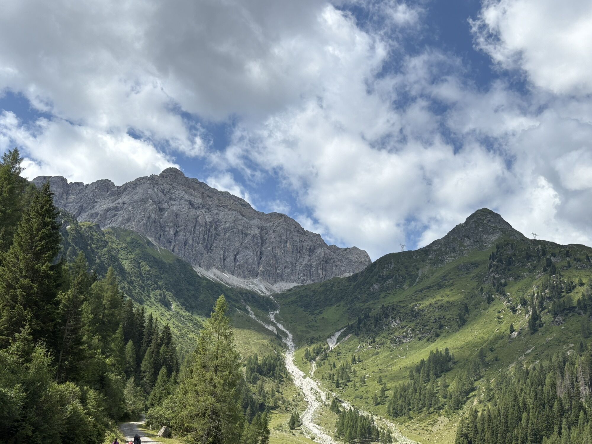
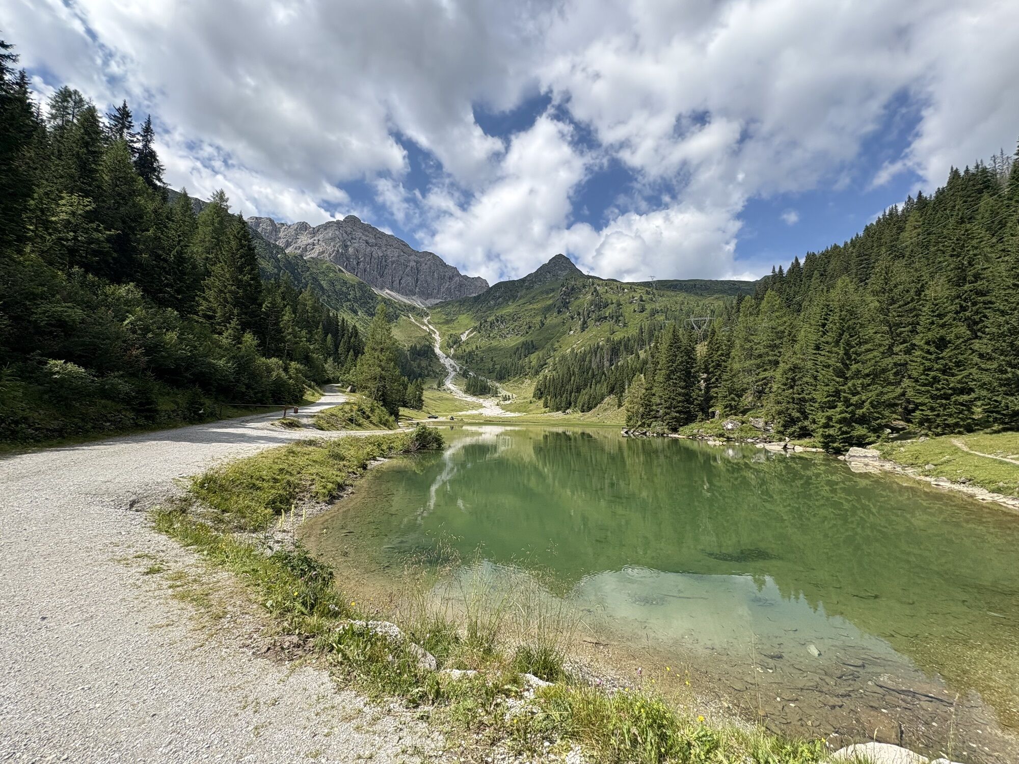
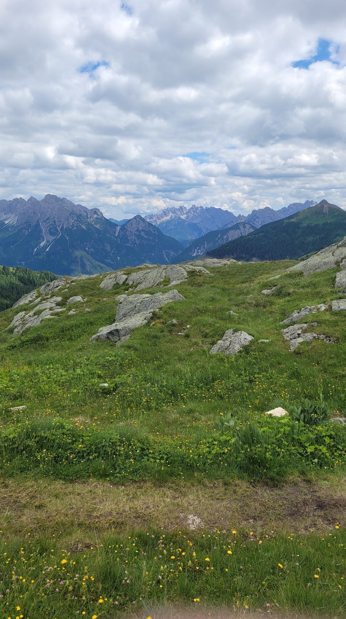
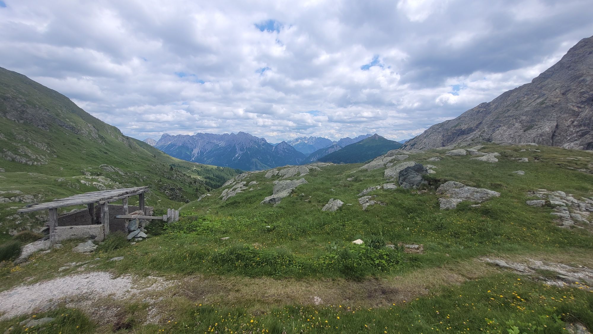
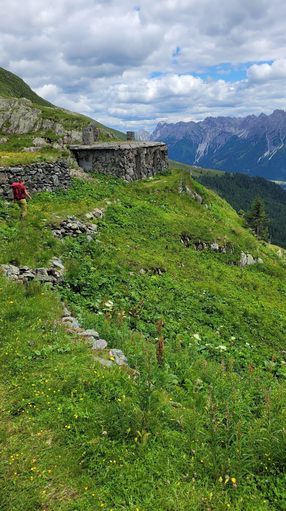
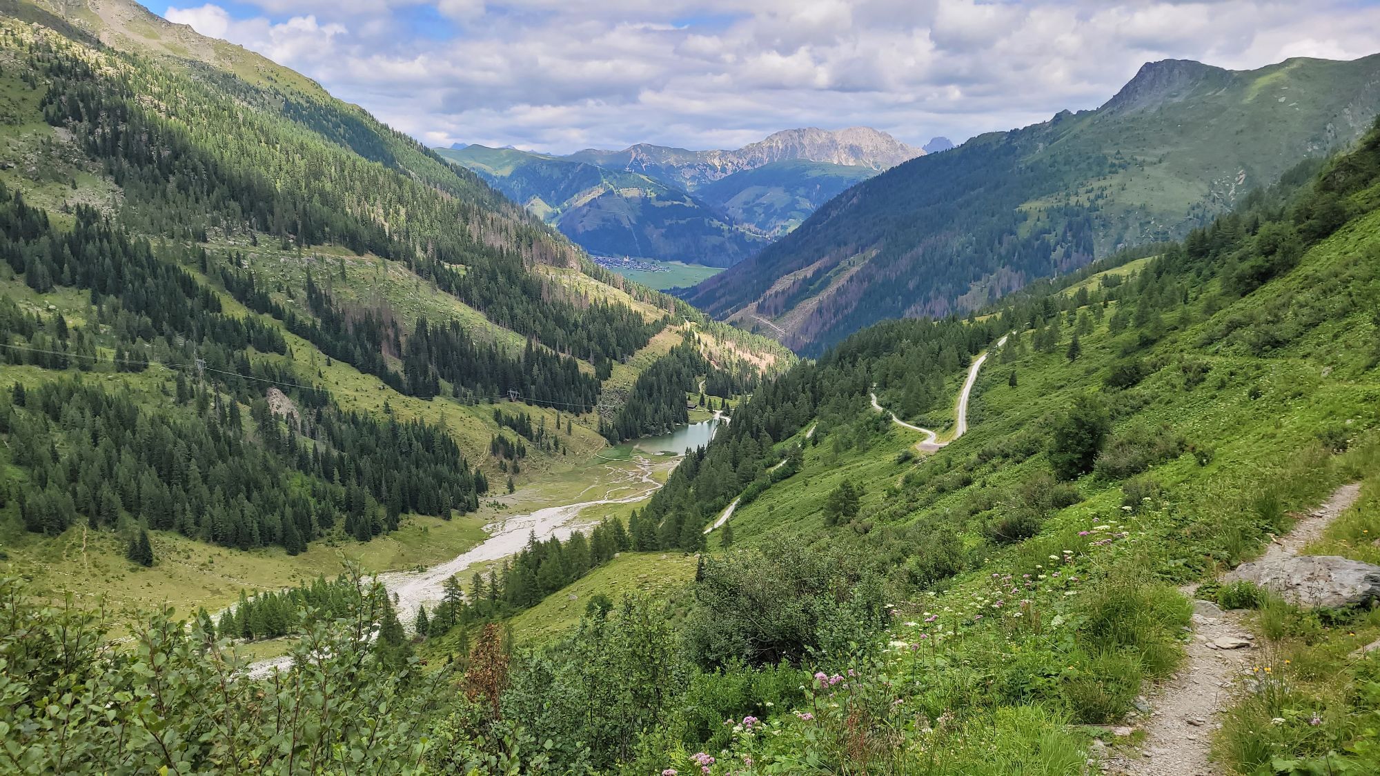
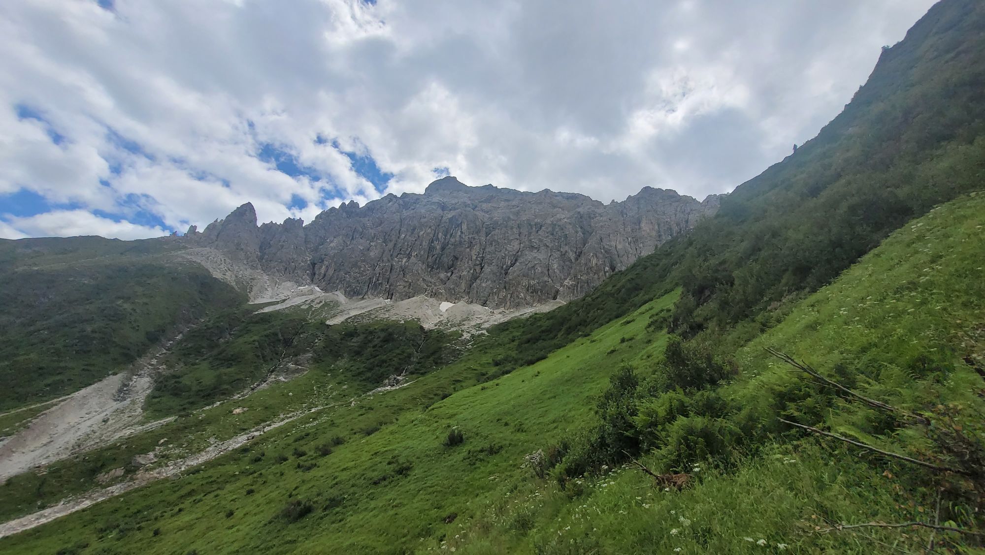
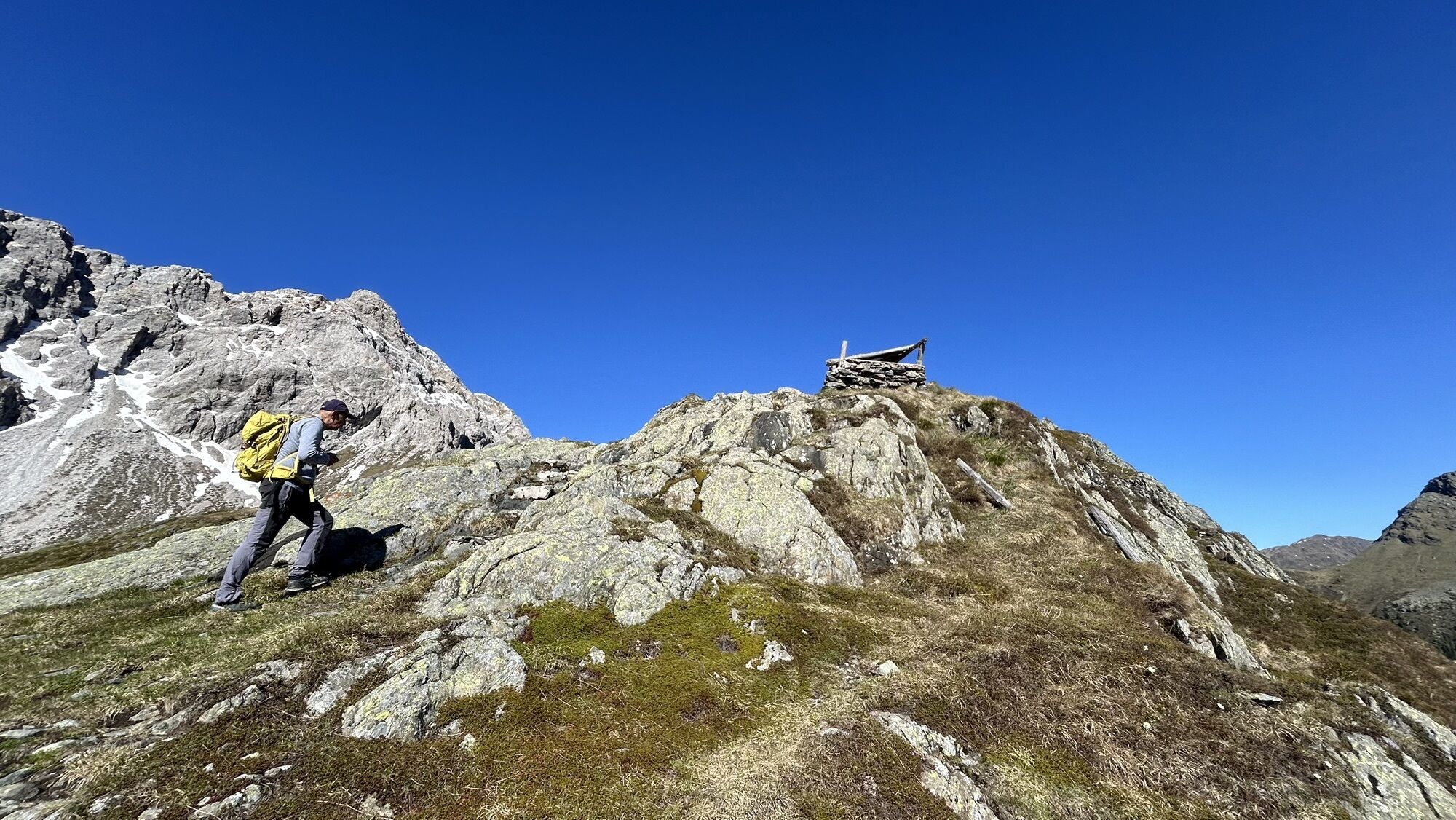
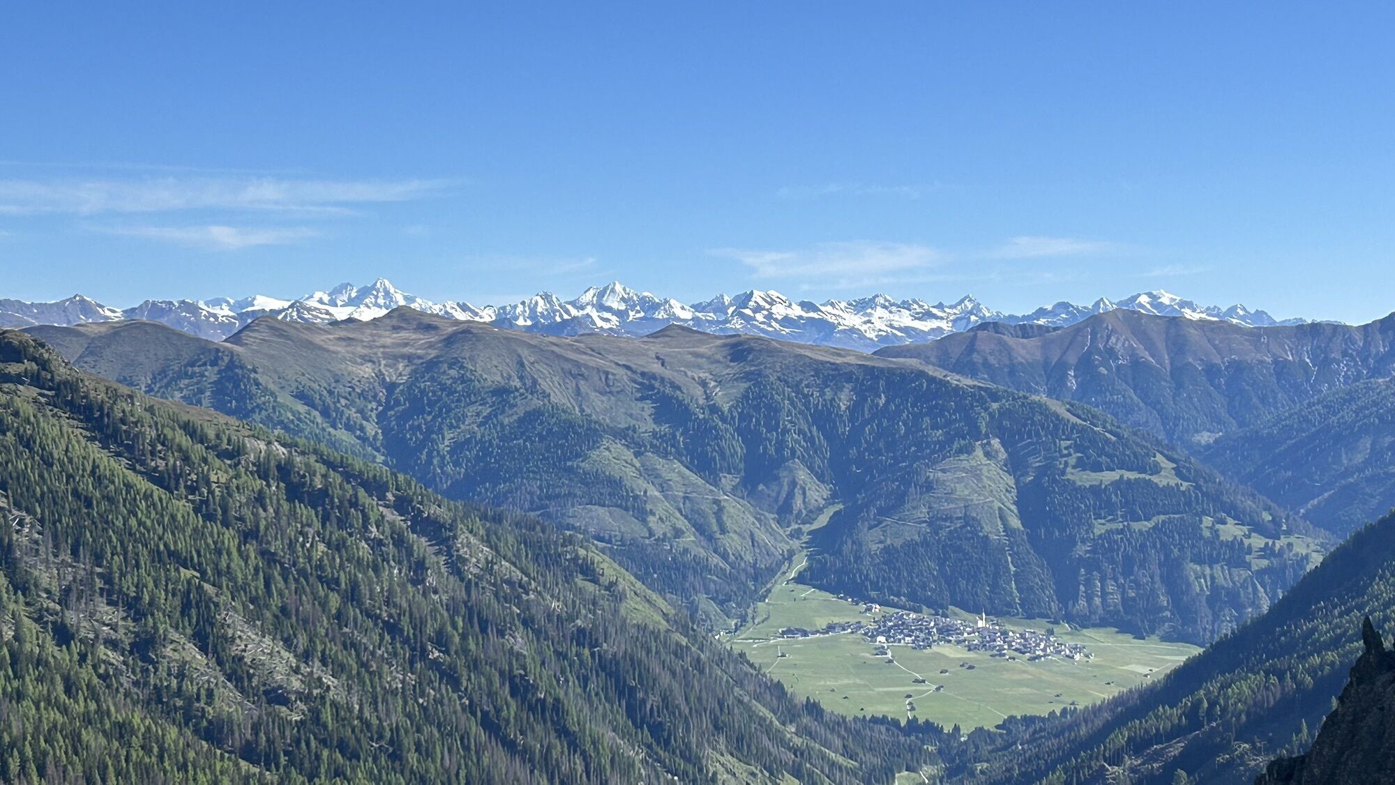
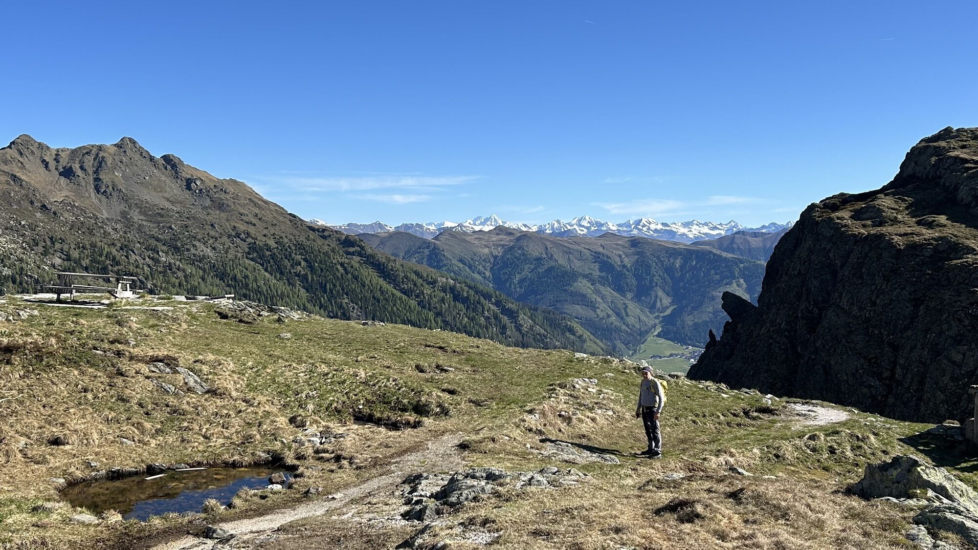
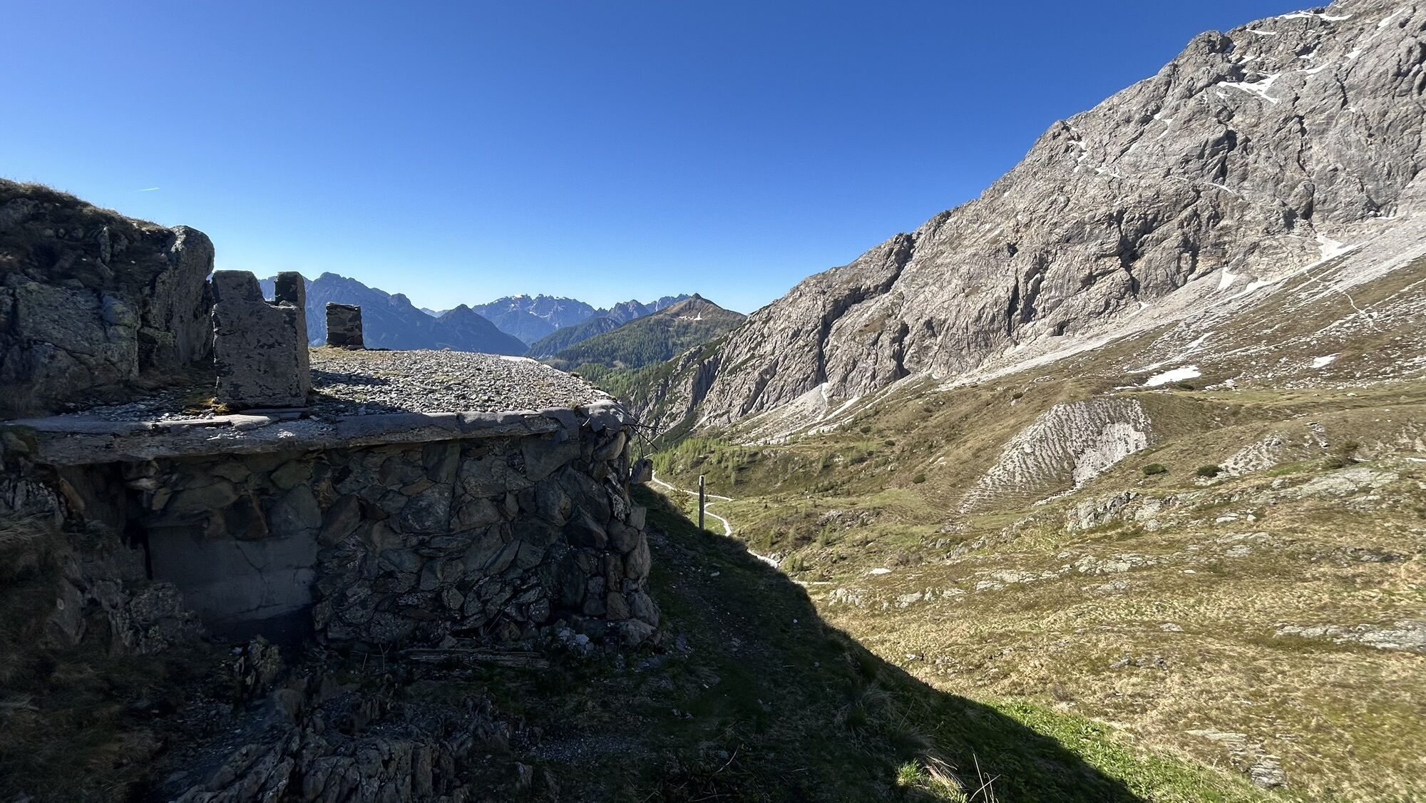
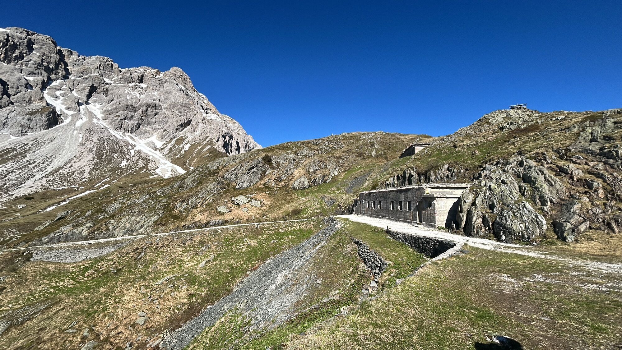
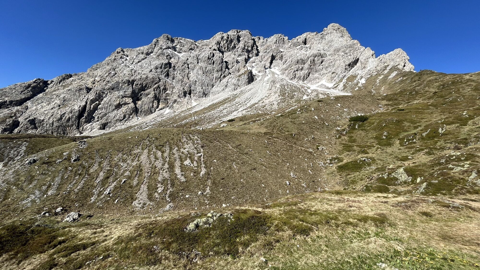
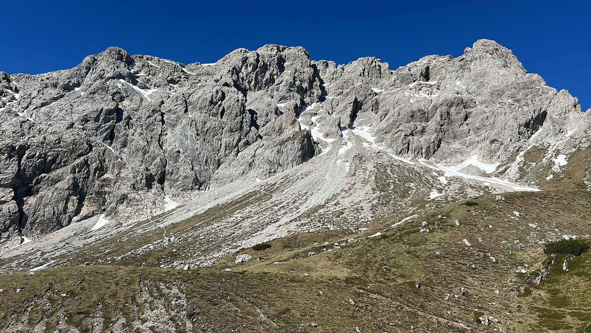
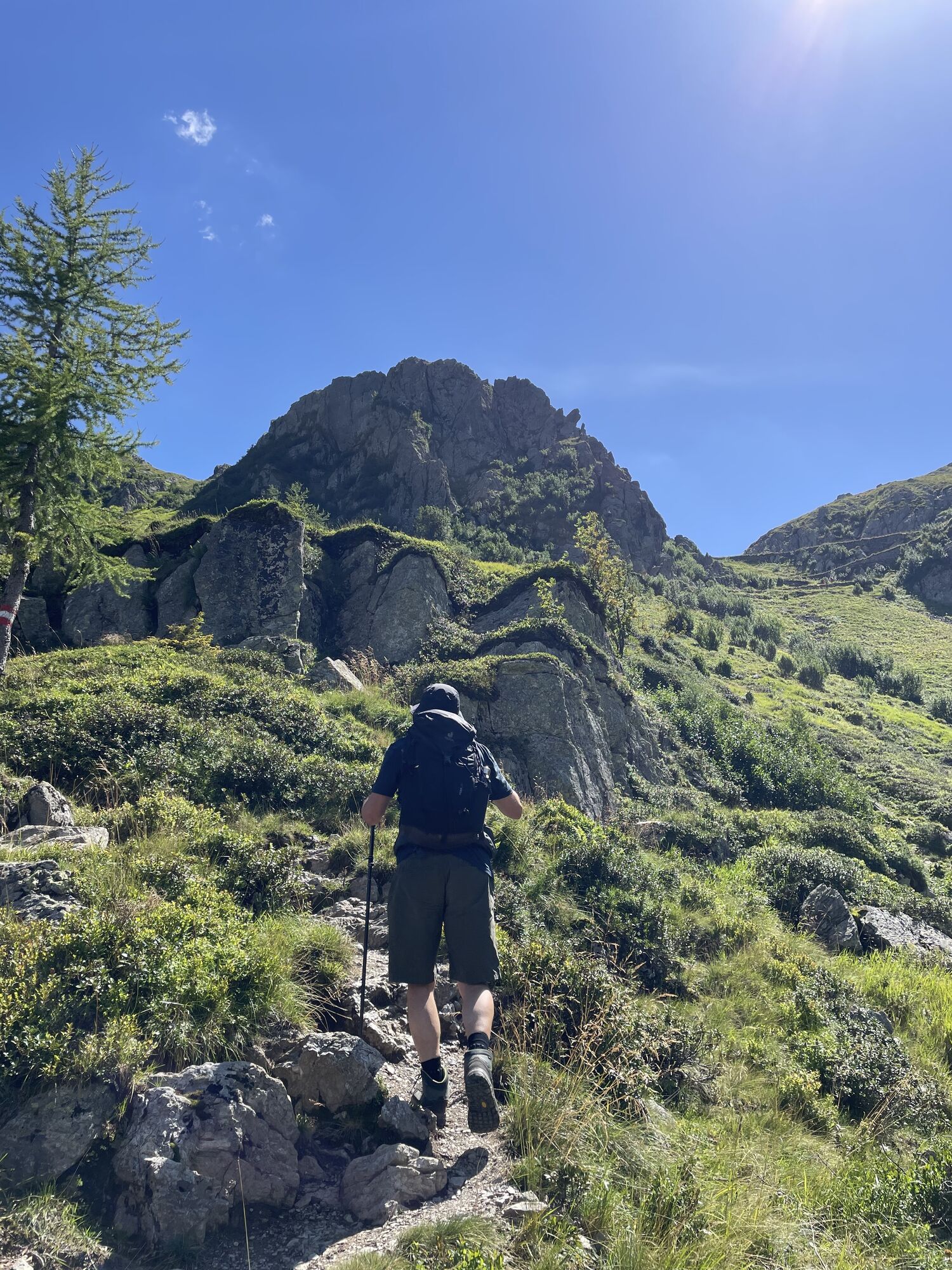
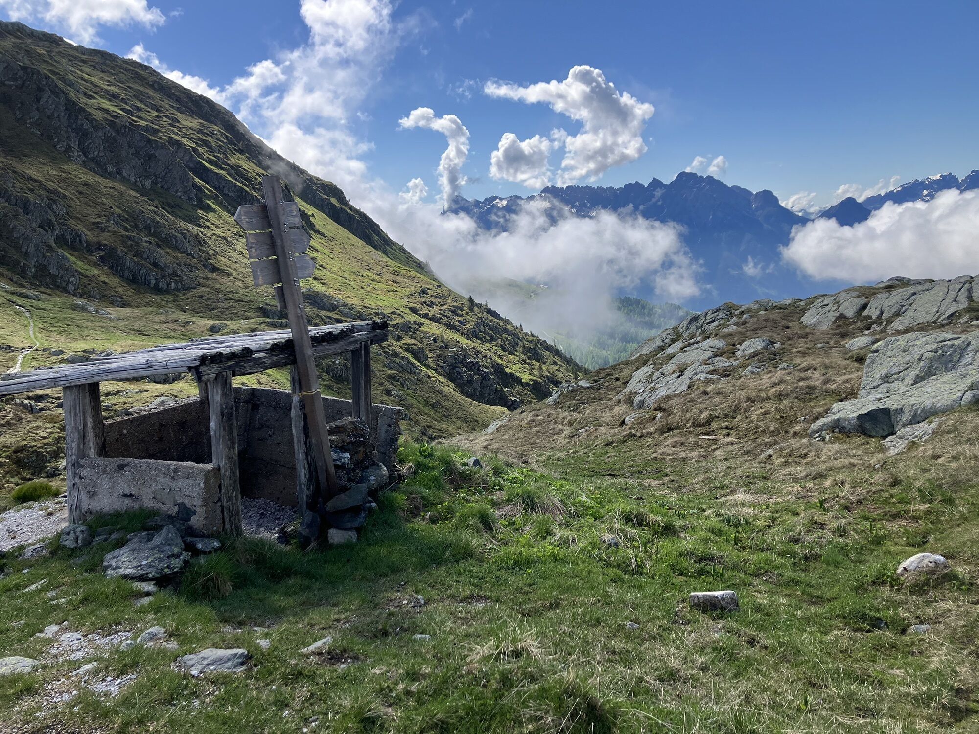
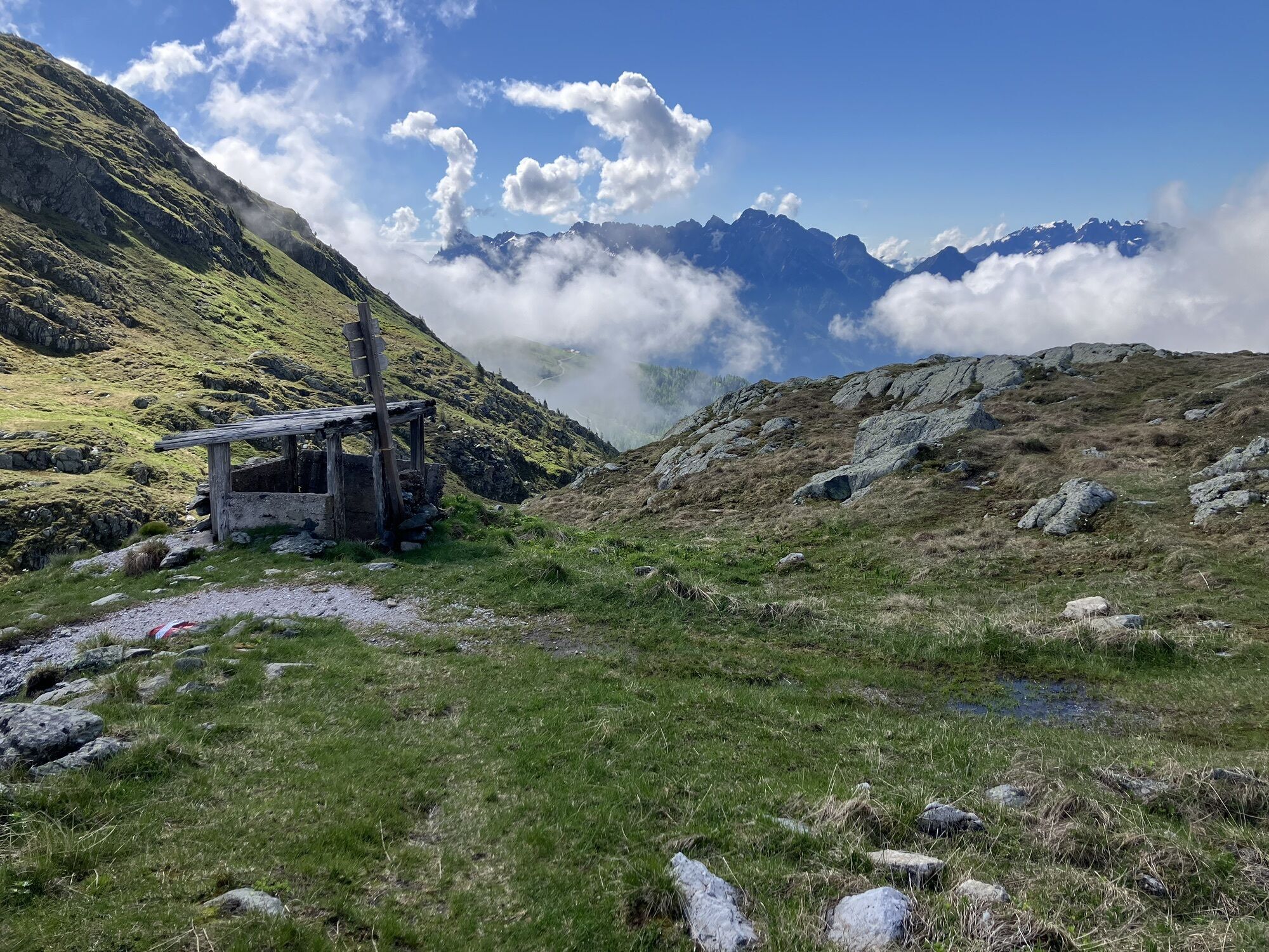
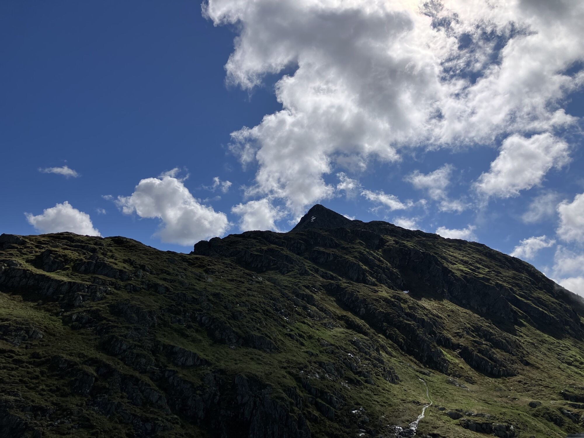
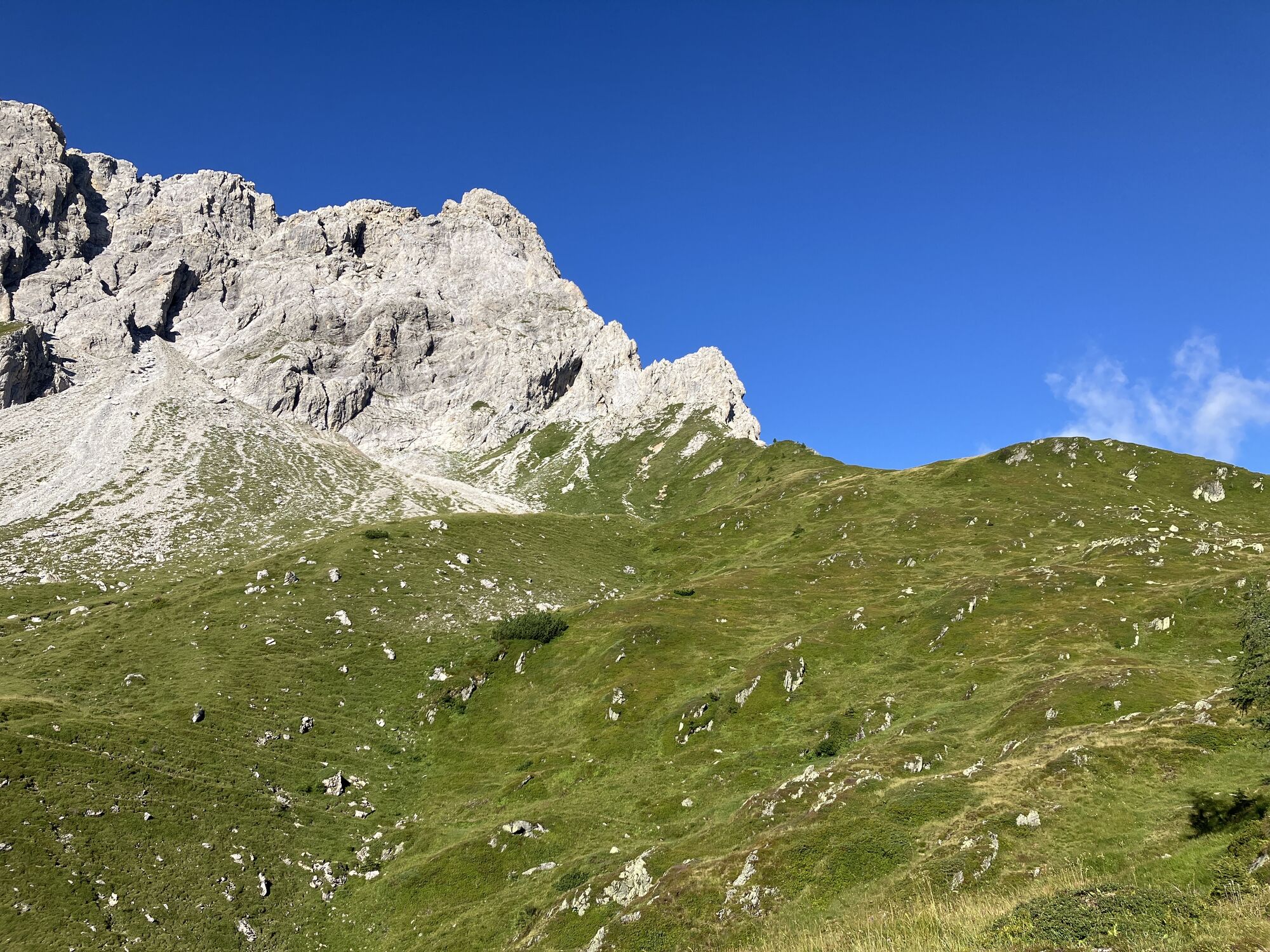
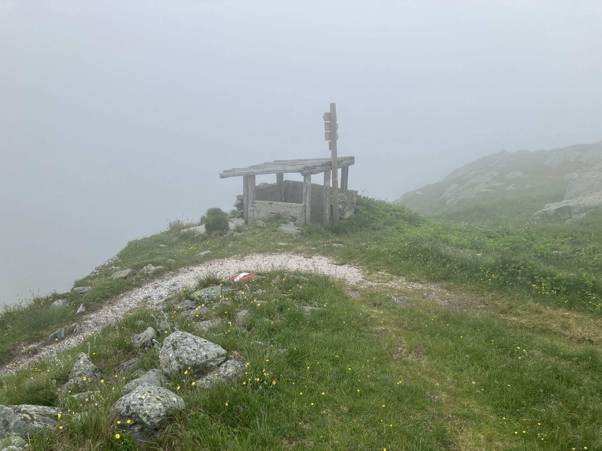
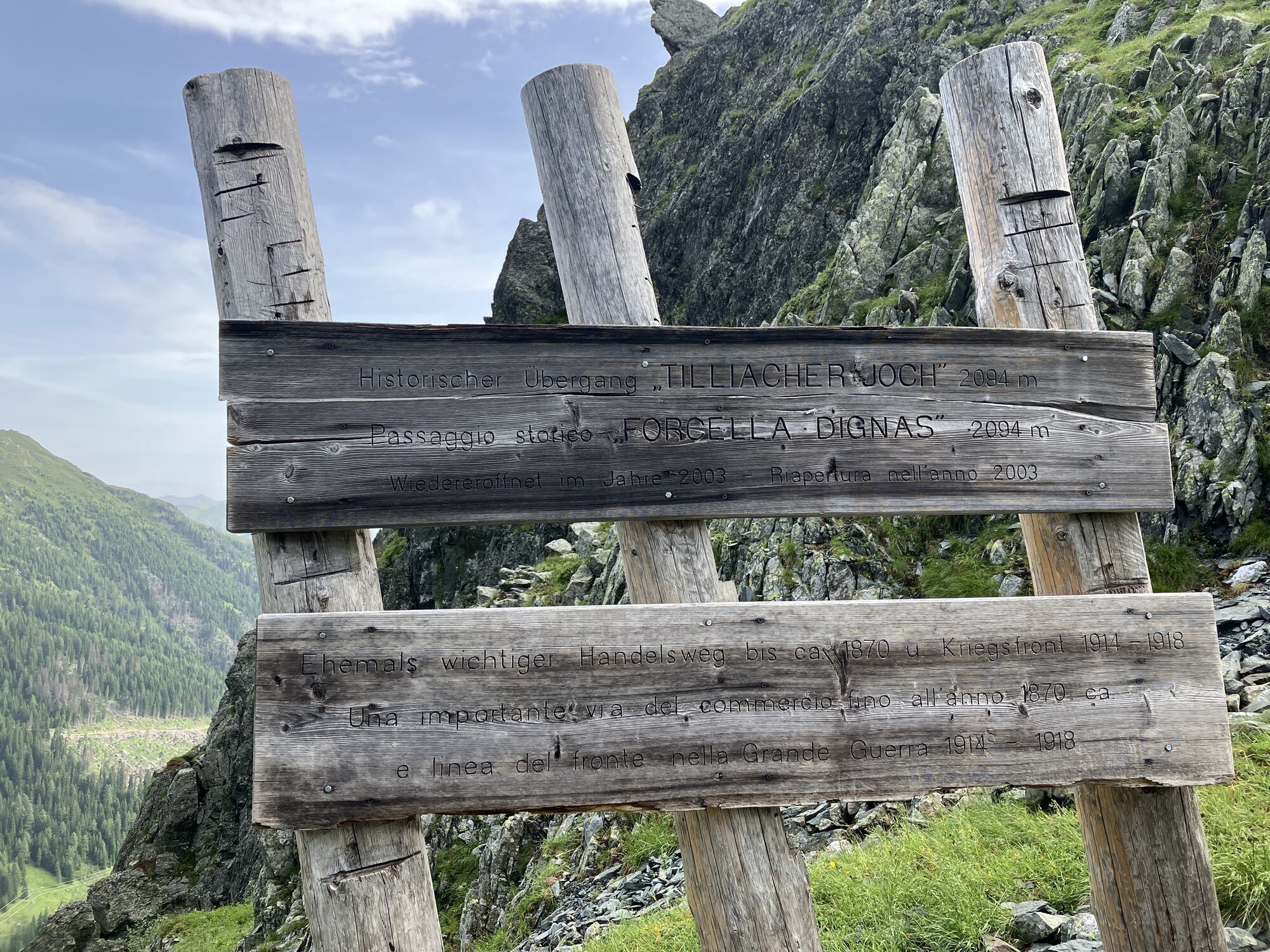
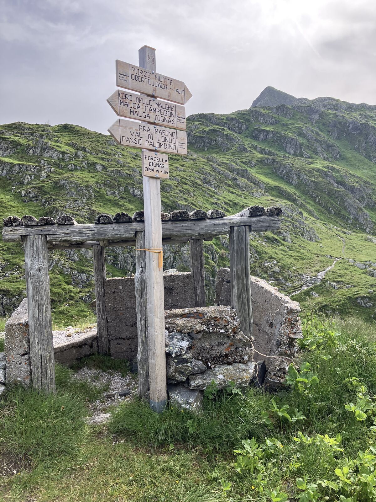
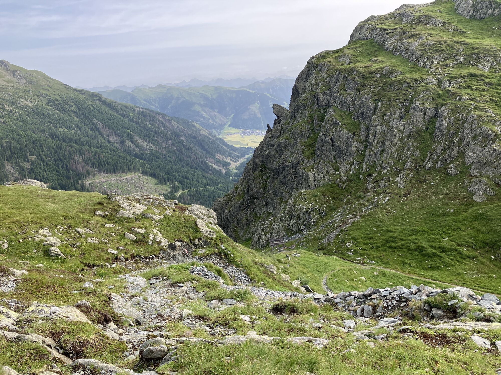
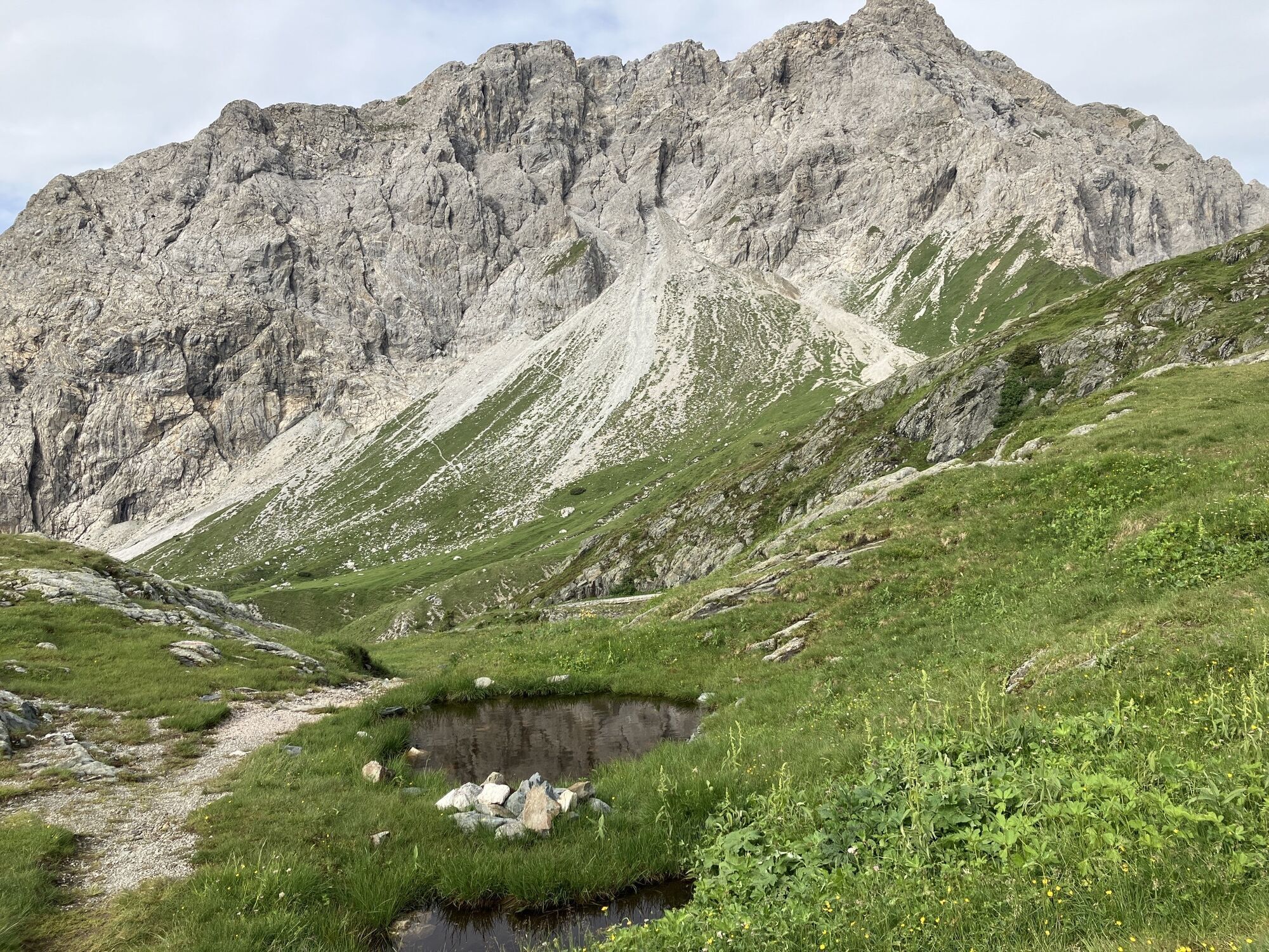
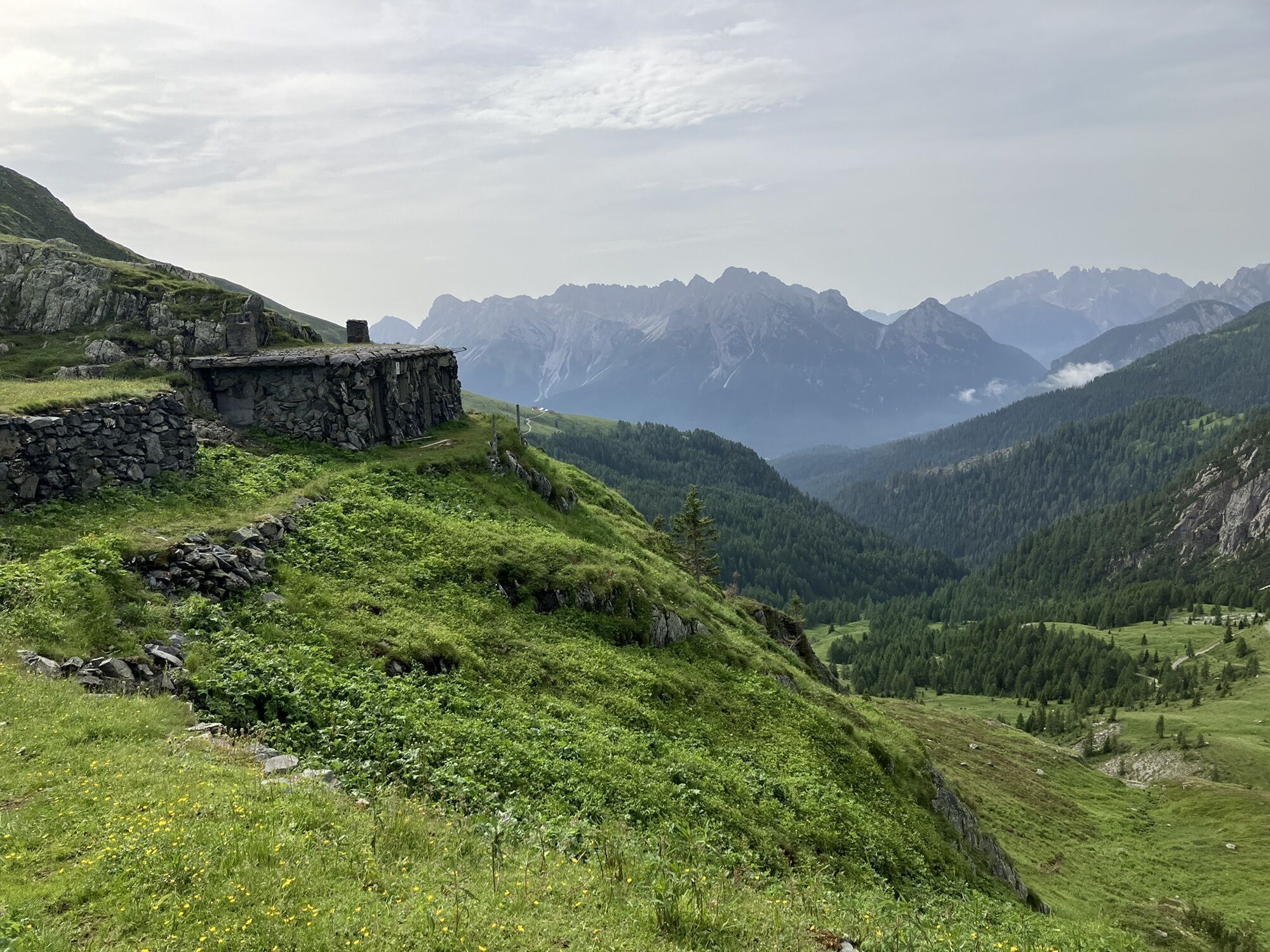
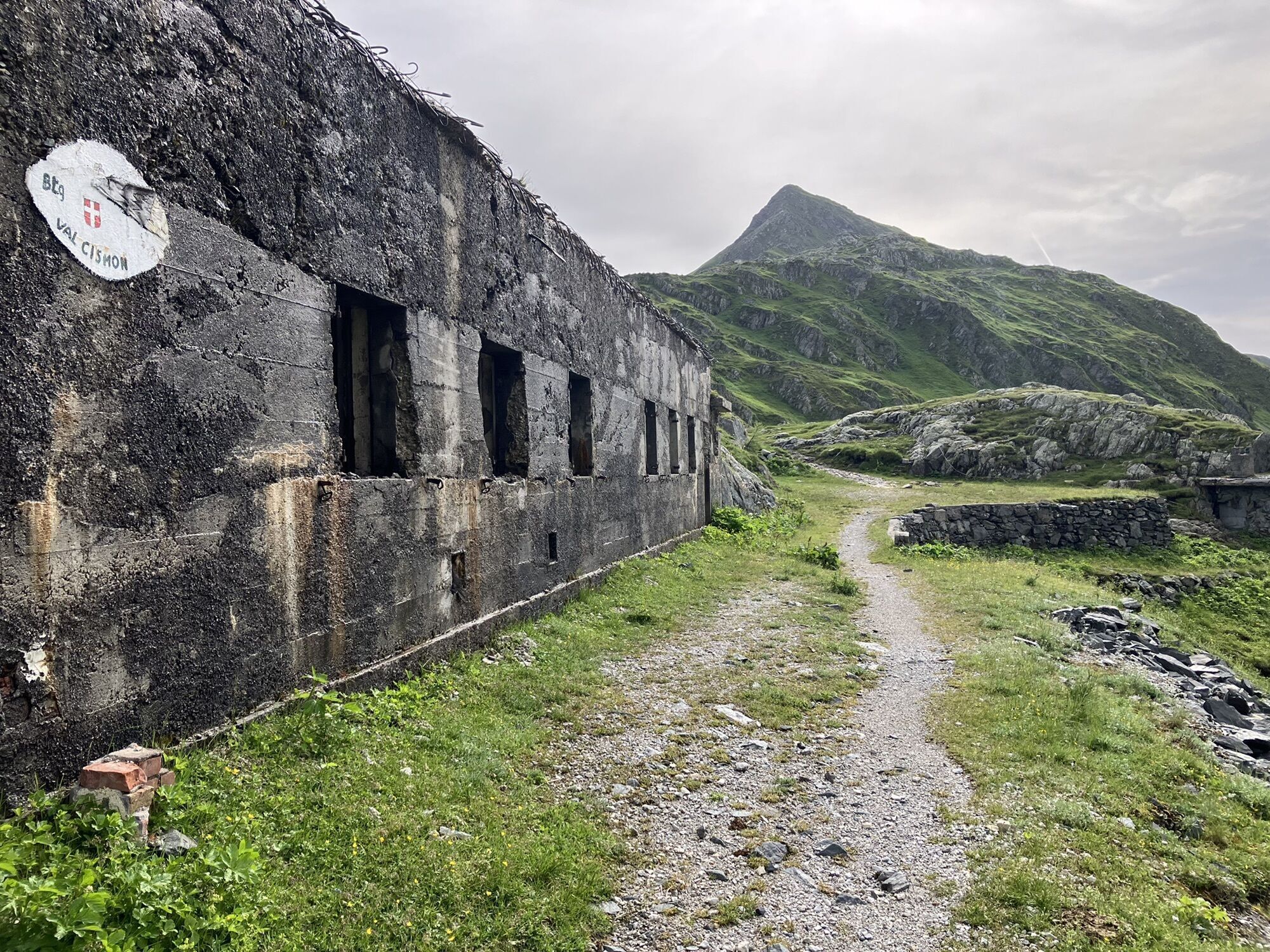
We are heading off for our tour at a small lake called "Klapfsee" which is located in the Dorfertal. After a approximately 40 minute long walk on a mountain path we reach the "Porzehütte". Another 25 minutes...
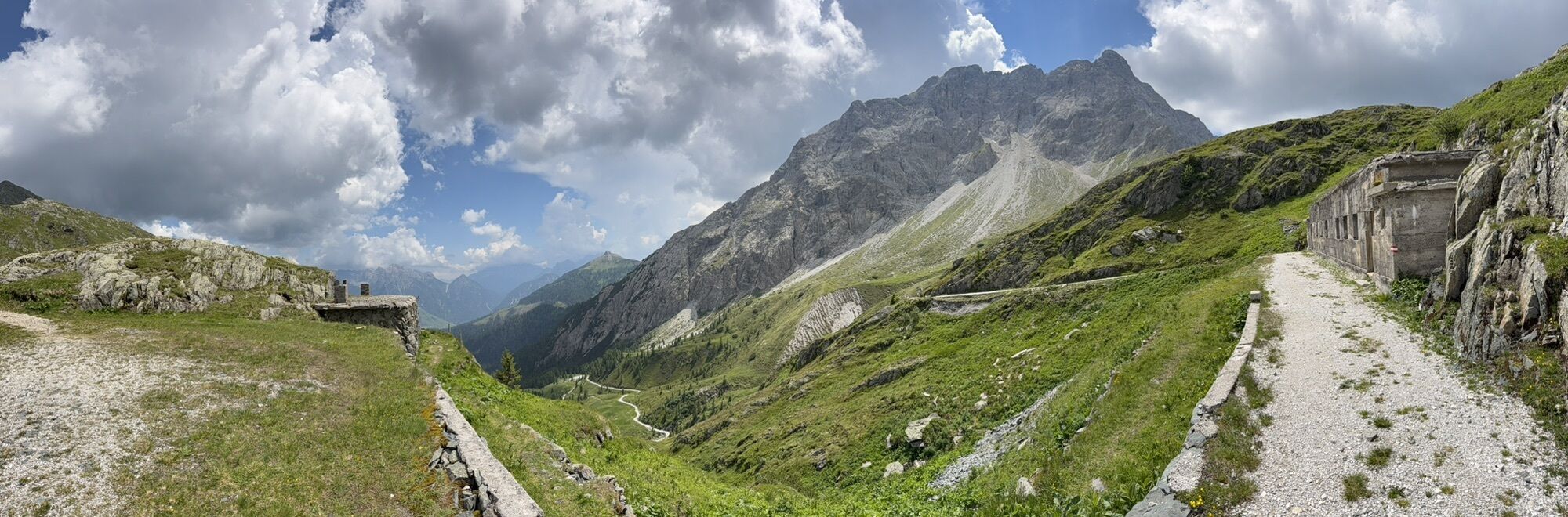
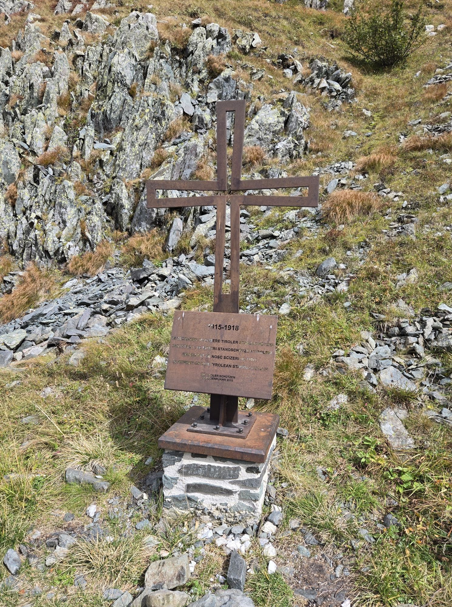
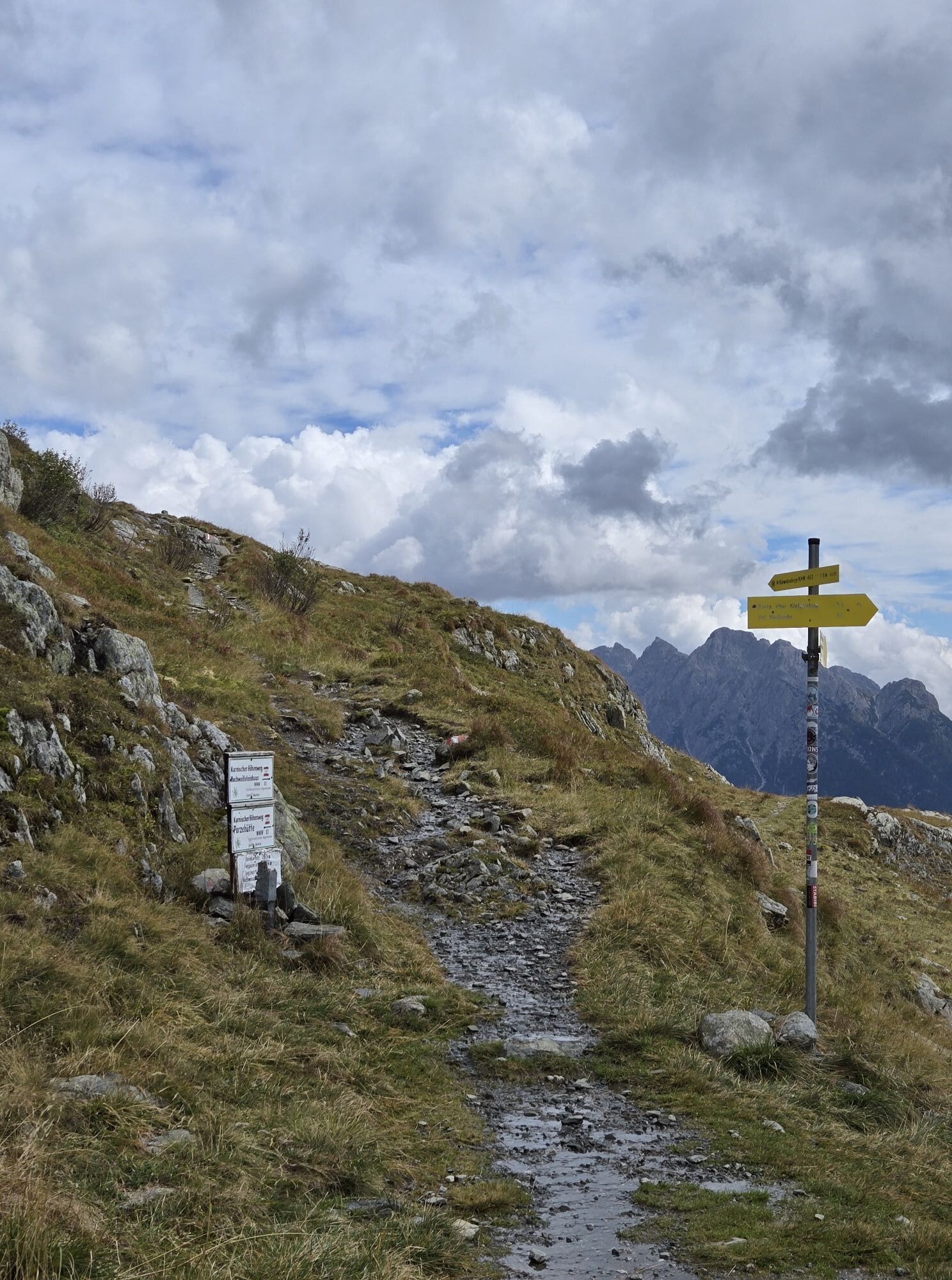
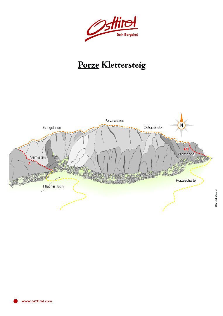
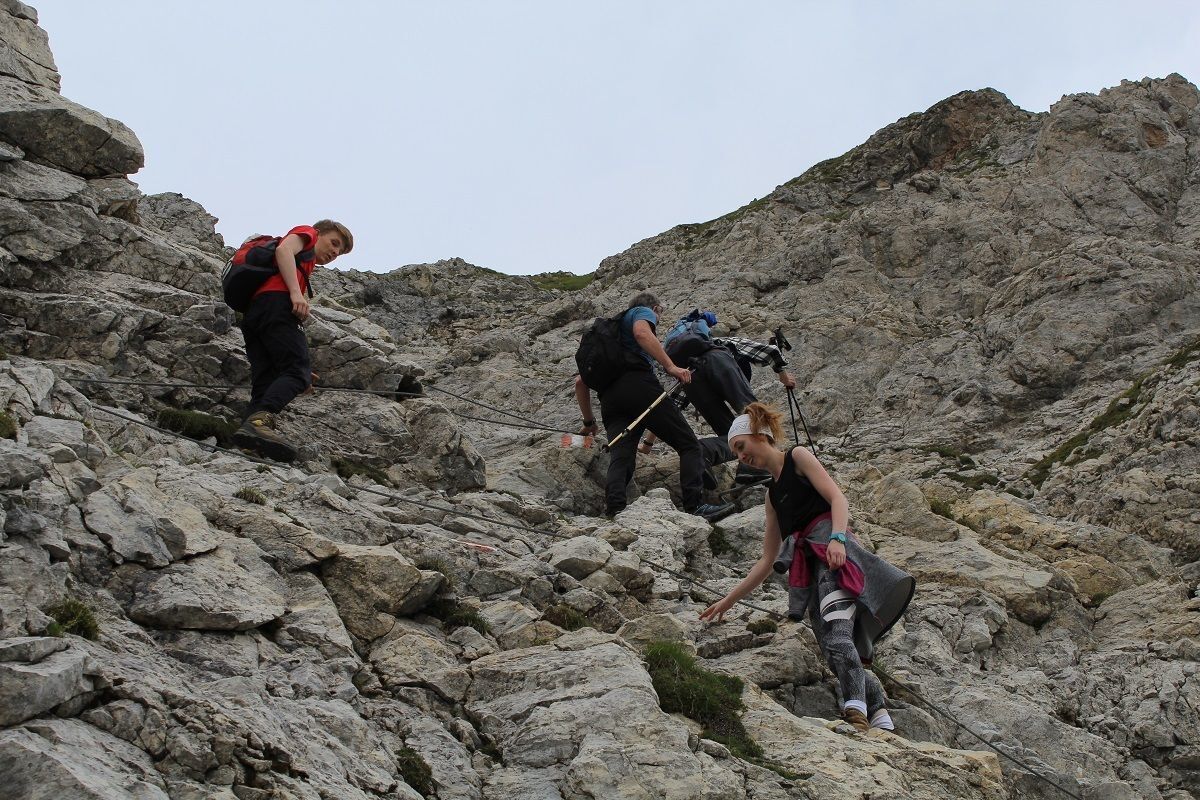
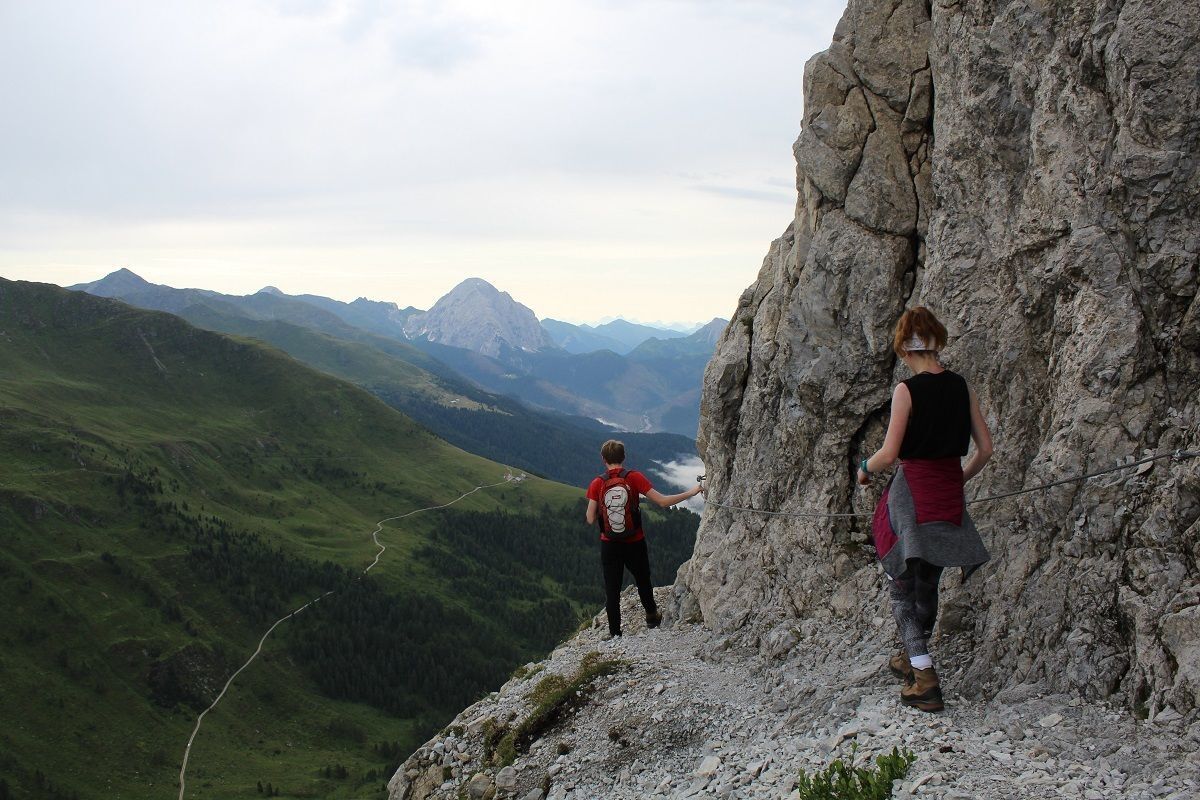
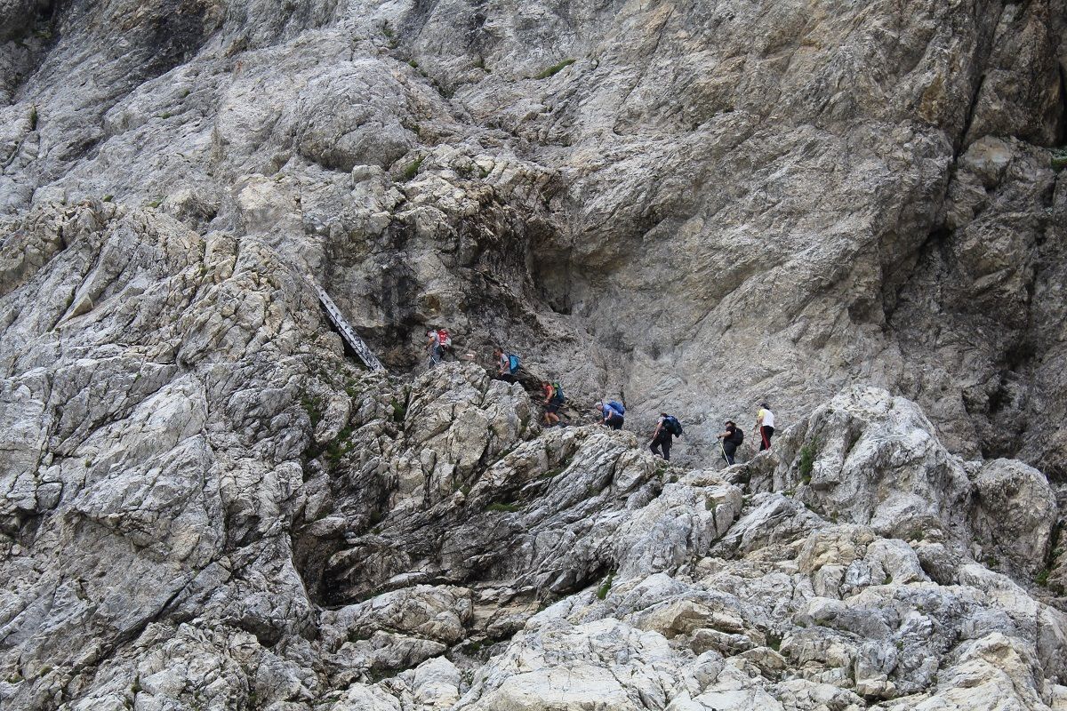
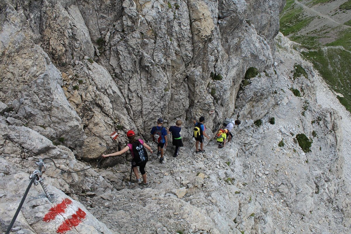
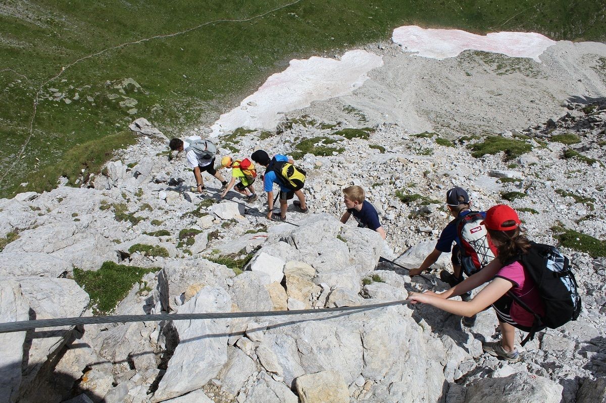
We are heading off for our tour at a small lake called "Klapfsee" which is located in the Dorfertal. After a approximately 40 minute long walk on a mountain path we reach the "Porzehütte". Another 25 minutes later we have arrived at the "Tilliacher Joch". Then we follow an old military road until we reach another mountain path, which is leading us to the east side of the mountain. A via ferrata, which starts there, allows us to reach the summit. The summit offers a stunning 360 degree panorama. Then, after reaching the summit, we follow the mountain path leading to the west. For the descent we take a via ferrata called "Austriaweg", which leads us to the Porzescharte. Then, after following the mountain path number 117 we reach the "Porzehütte", where you can have a drink or a snack to recharge your batteries.



Popularne wycieczki w okolicy
-
4,5
Kartitsch-Obstansersee Hütte
średniWędrówka 13,1 km -
4,8
Rotwandwiesen kreuzbergpass rundweg
średniWędrówka 12,0 km -
4,3
Connyalm (2.070 m)
Wędrówka 6,36 km -
5,0
Porzehütte (1.942 m)
światłoWędrówka 9,01 km -
4,8
Sillianer Hütte 2.447 m
średniWędrówka 16,8 km -
5,0
Carnic altitude trail. Stage 4: Porzehütte – Hochweißsteinhaus
ciężkiWędrówka 17,5 km -
5,0
Karnischer Höhenweg – Etappe 2: Obstansersee Hütte – Porzehütte
ciężkidługodystansowy szlak pieszy 12,0 km -
3,8
Karnischer Höhenweg KHW 403 - "Weg des Friedens"
średniWędrówka 46,7 km -
2,0
Porzehütte/Tilliacher Joch am Karnischen Kamm
średniMountainbike 8,99 km -
4,0
Hoher Bösring (2.324 m)
średniWędrówka 9,70 km
Wędrówki i tropienie


Nie przegap ofert i inspiracji na następne wakacje
Twój adres e-mail została dodana do listy mailingowej.





