






Rotstein
From Lienz by car to Thal, then bear right on the Pustertaler Höhenstraße road to Assling Wildlife Park. Take a right there to Wilfernertal, passing the Warscherbauer to the head of the valley at Wilfernertal,...
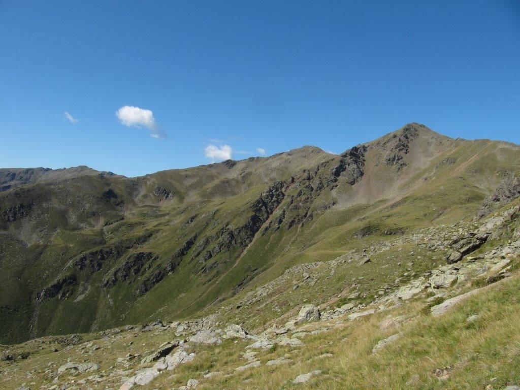
From Lienz by car to Thal, then bear right on the Pustertaler Höhenstraße road to Assling Wildlife Park. Take a right there to Wilfernertal, passing the Warscherbauer to the head of the valley at Wilfernertal, 1701m. ‘Parking available’. From the car park across the bridge, heading north, up the agricultural road to Huber Kaser, take a left here, continue in a northerly direction to the Wilfernerlacke. Continue up to the wind gap between Schlaitenkofel and Rotstein, via the easy climb on the eastern ridge up to the summit, 2702m.

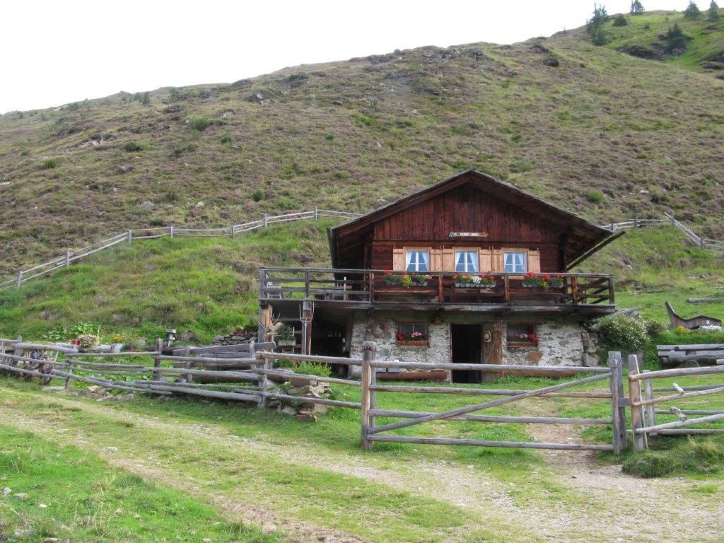
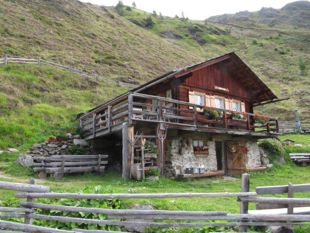
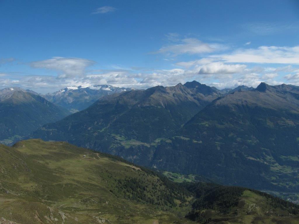
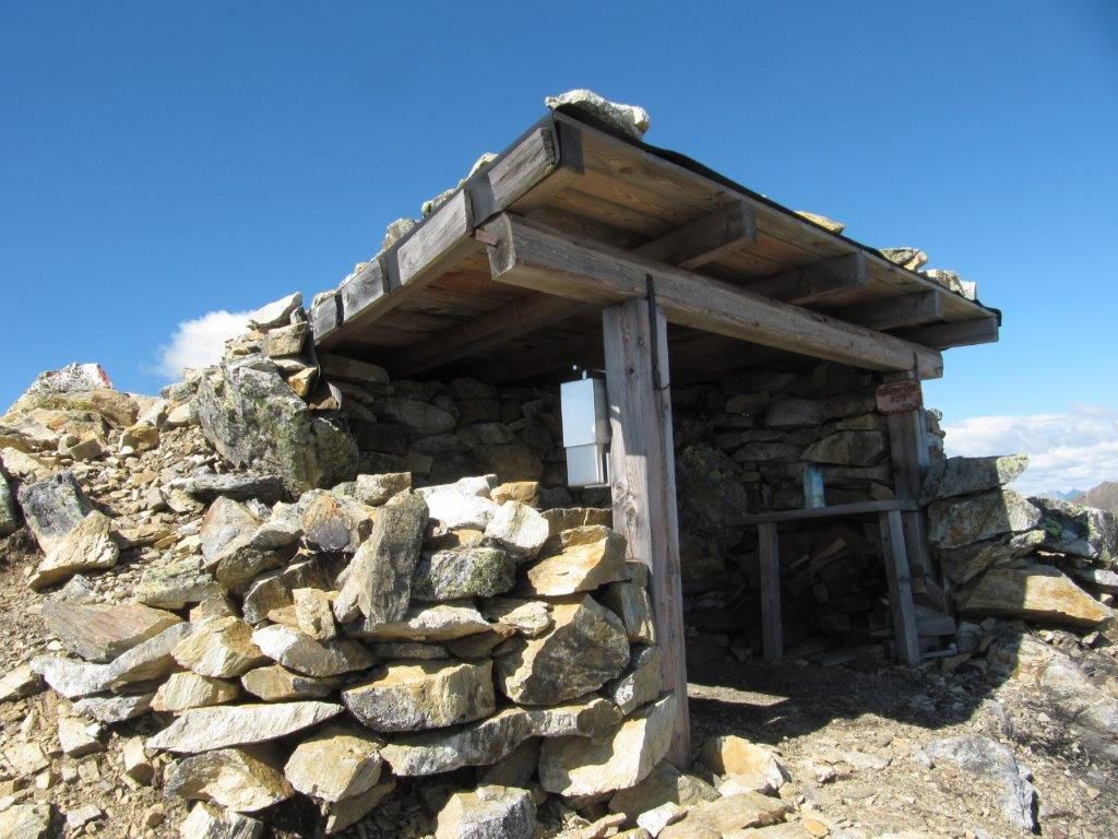
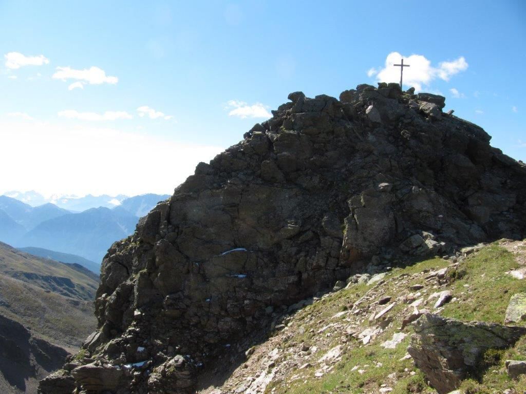
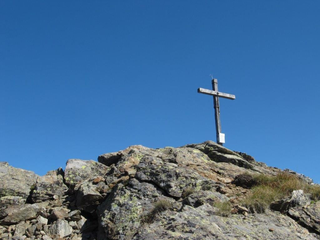

Mit dem Auto Richtung Wildpark, dann weiter ins Wilfernertal bis zum Parkplatz Pedretscher Kaser.
Dienstags mit dem Wanderbus Lienzer Dolomiten.
Parkplatz Pedretscher Kaser


Popularne wycieczki w okolicy
-
4,7
Glödis 3206m: PP Seichenbrunn, Lienzer Hütte, Glödis KS A/B
ciężkiWycieczka wysokogórska 16,1 km -
4,8
Summit hike Rotenkogel 2,762m
ciężkiWędrówka 4,22 km -
4,7
Lienzer Hütte
światłoWędrówka 7,39 km -
3,7
2019 29ago Hochschoberhütte
średniWędrówka 4,54 km -
4,4
Circular Europe Panorama Trail
średniWędrówka 7,01 km -
4,4
Böses Weibele - Pustertaler Höhenweg
średniWędrówka 13,2 km -
5,0
Kleiner Zunig, Matrei in Osttirol, Österreich Matrei in Osttirol, Österreich
średniWędrówka 12,6 km -
4,8
#33: Schleinitz Klettersteig, 3 Gipfel Runde (B)
średniVia ferrata 10,6 km -
5,0
Böses Weibele
światłoWędrówka 10,1 km -
4,5
Golzentipp
światłoWędrówka 7,04 km
Wędrówki i tropienie


Nie przegap ofert i inspiracji na następne wakacje
Twój adres e-mail została dodana do listy mailingowej.





