






TIP Trip Tirol ➤ Family hike in the first holiday region of the Zillertal

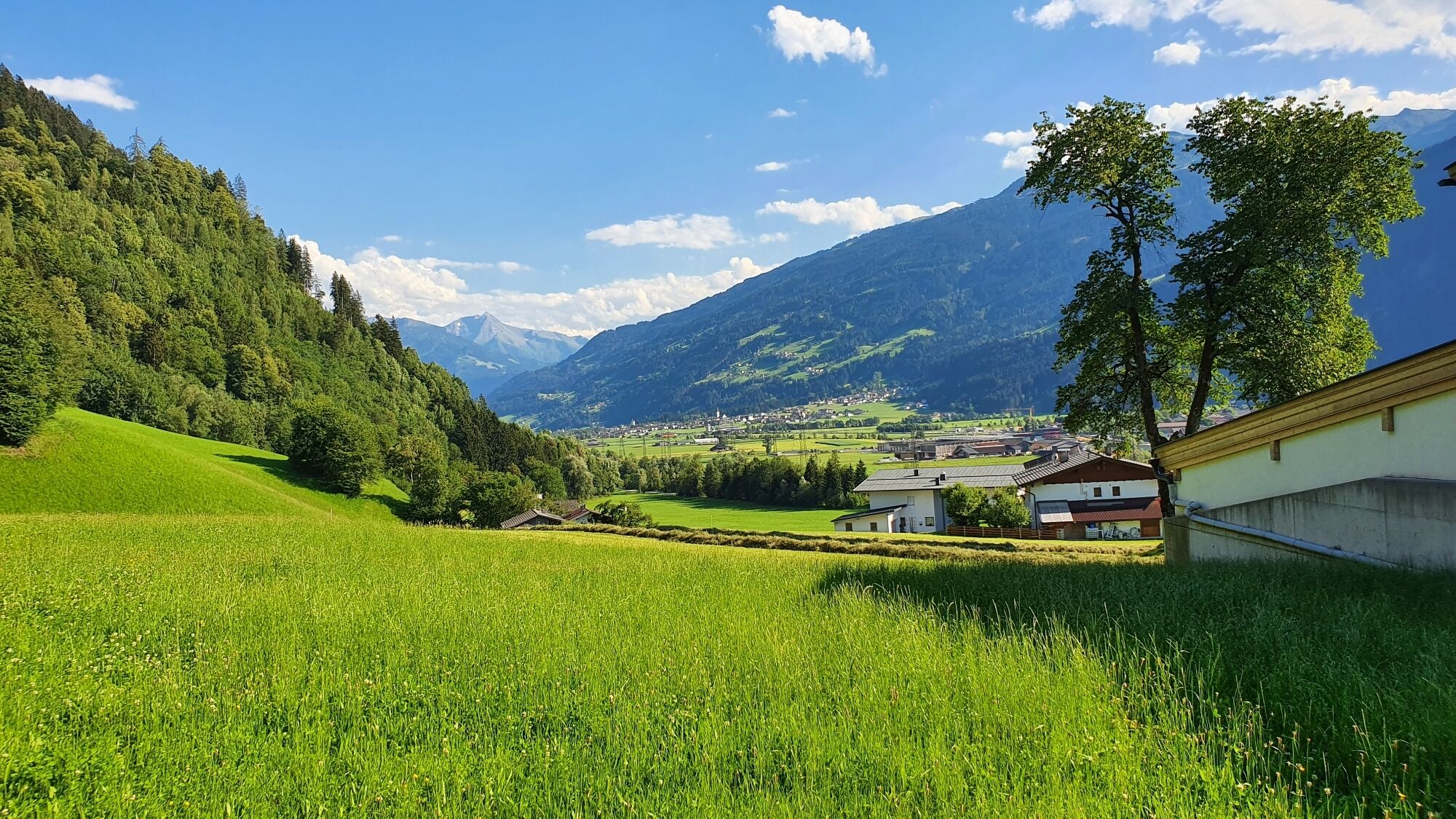
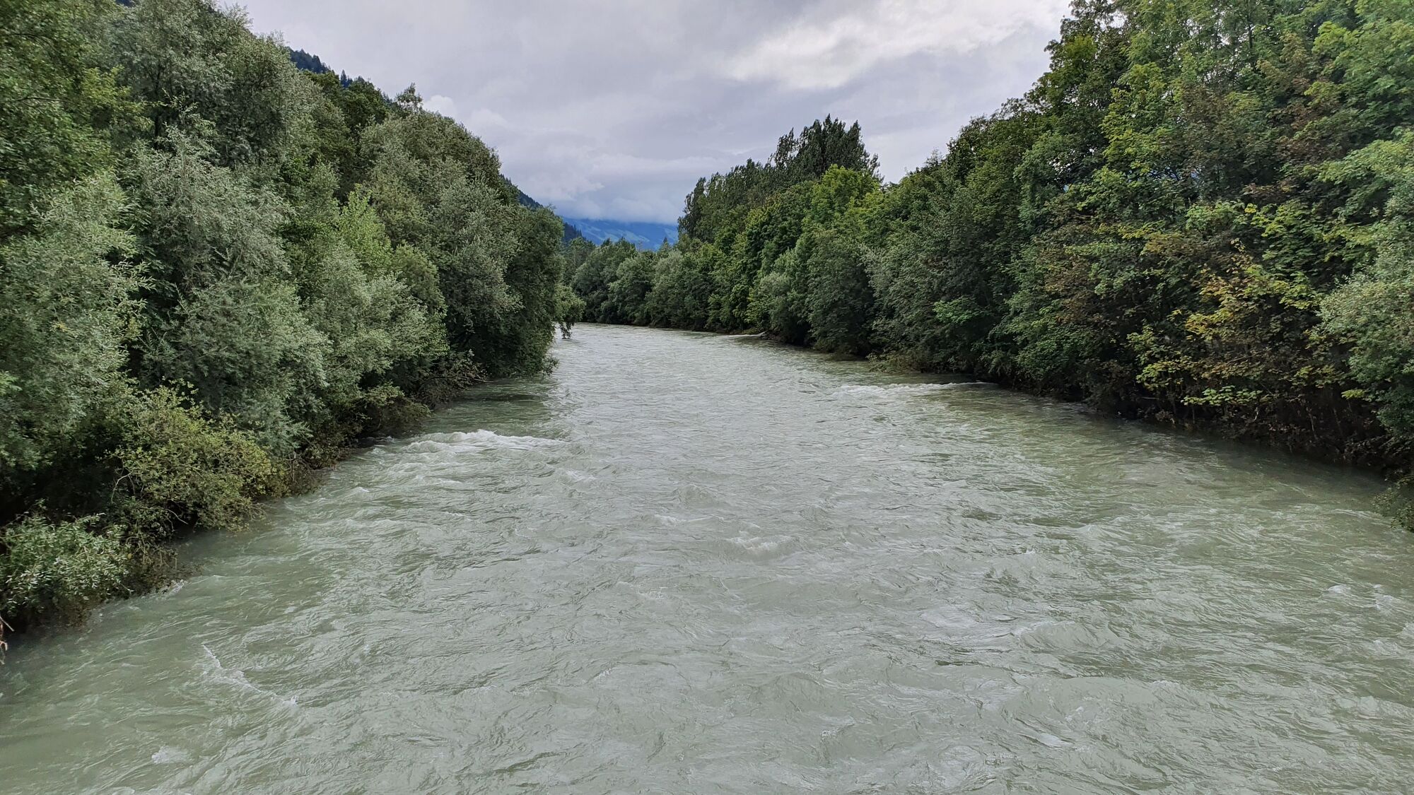
We start our small hike at the restaurant Almdiele in Hart. From here, the path first leads along a paved road. Next to us, the Haselbach roars quite loudly down into the valley. I’ll take this as a good...
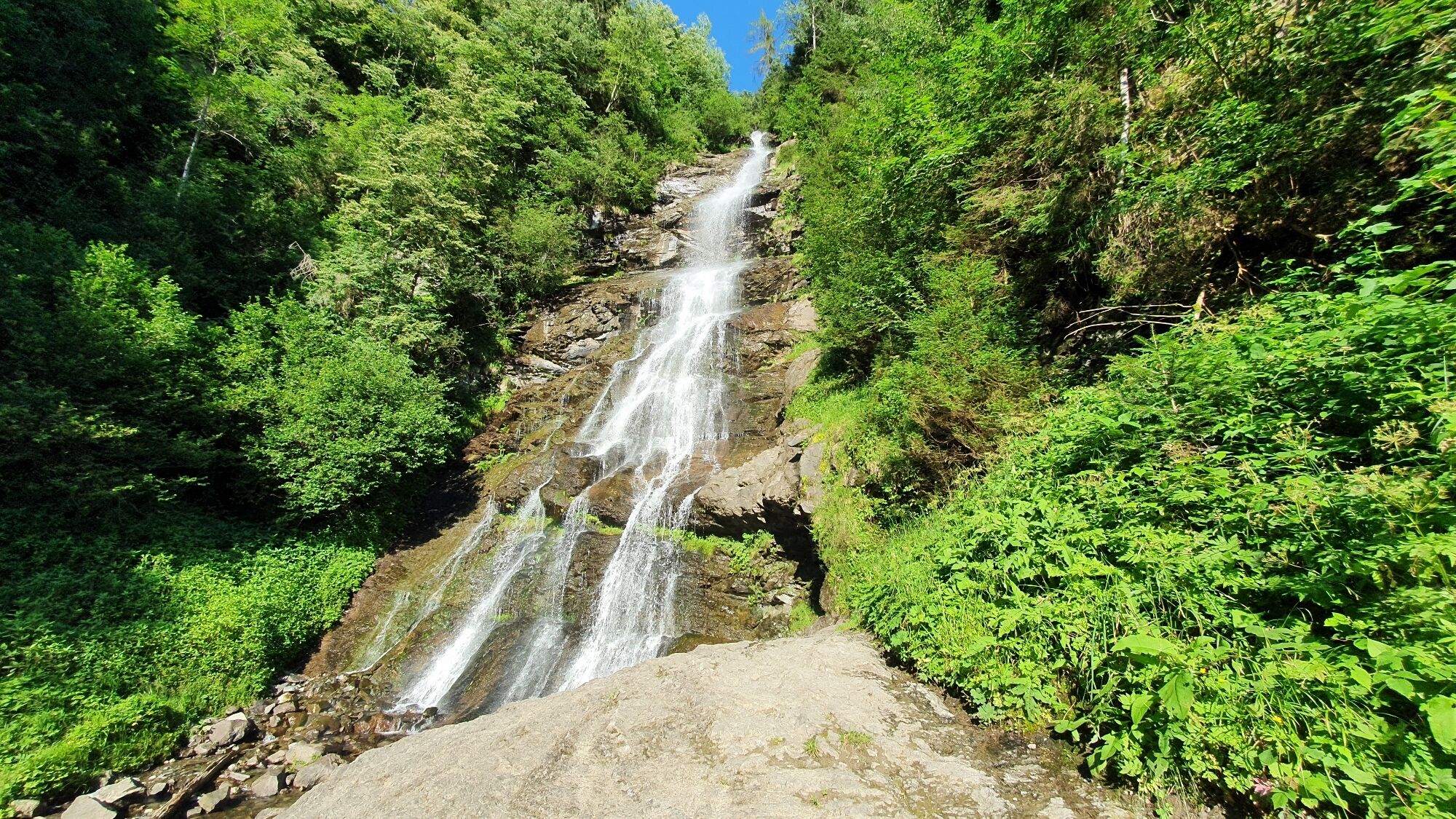
We start our small hike at the restaurant Almdiele in Hart. From here, the path first leads along a paved road. Next to us, the Haselbach roars quite loudly down into the valley. I’ll take this as a good sign that the Schleier waterfall will also have lots of water. Since the path from Almdiele to the waterfall and the nature and bird educational trail belongs together, we pass several stations. The first thing the junior discovers is a bird sign. There, his favourite bird is also shown: the peregrine falcon. It is the largest native falcon and can reach speeds of up to 300 km/h in a dive. This information is immediately stored :) Soon the paved road turns into a forest path. Here we find even more display boards about birds. More interesting now are the stations of the nature trail.


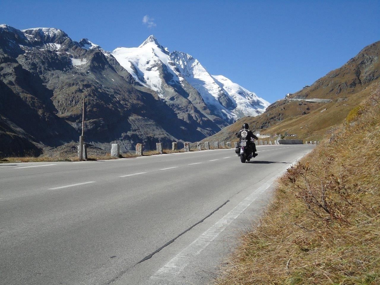
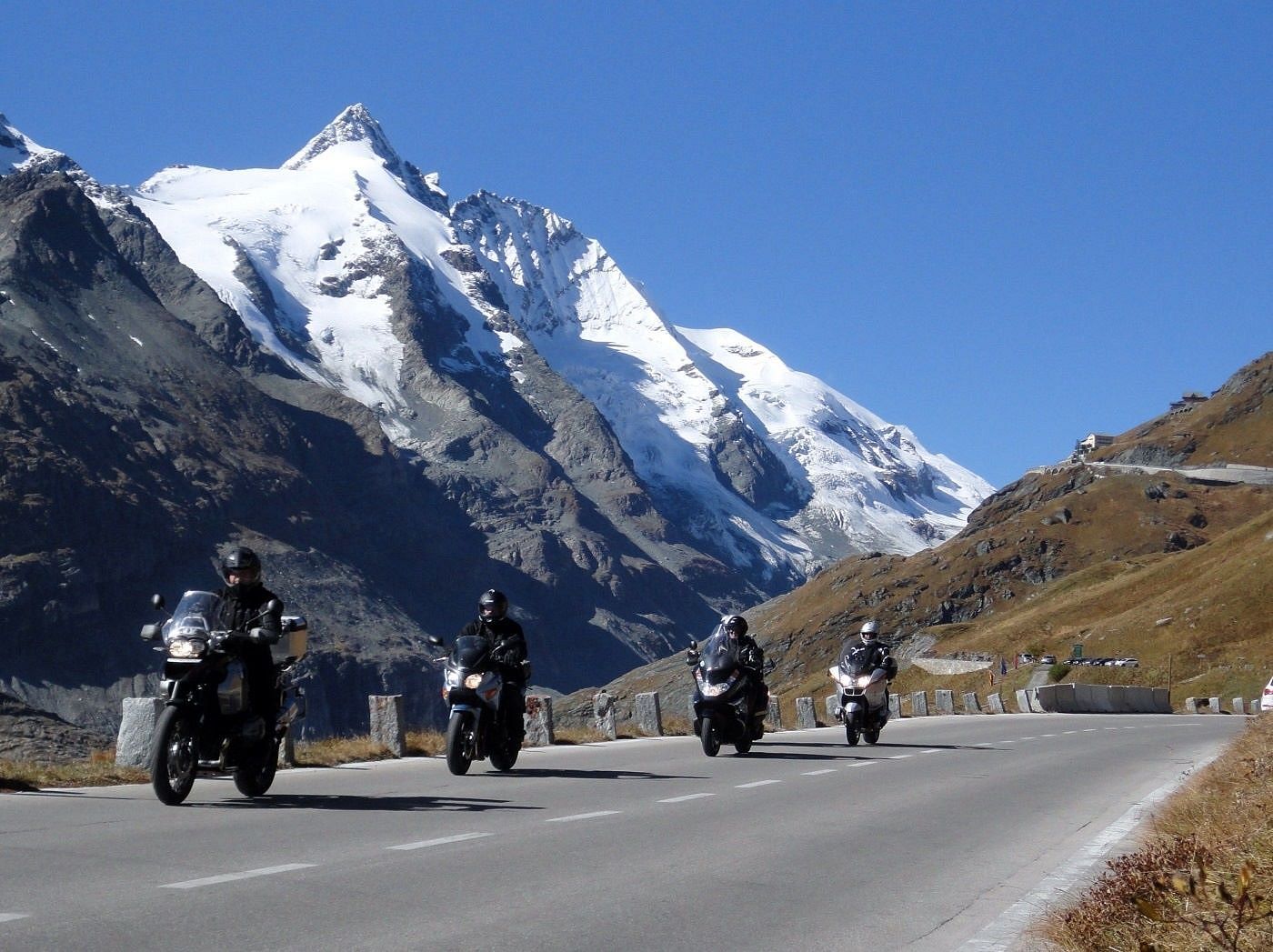


The circular hike starts at the Gasthof Hamberg in Niederhart. Walk a short distance south on the road, then turn left behind the Kaiserlochbach towards the forest. Cross the stream at the edge of the forest and now follow hiking trail U7 uphill to the north until the path meets a road just before the Harter parish church. There, turn sharply right and now walk south again; in the forest, the bird educational trail or nature experience path with information boards about native birds begins shortly. After nearly two kilometers, the Schleier waterfall is reached. From there, the experience path leads downhill in switchbacks. At the bottom, in the village of Haselbach, the “Almdiele” offers a place to rest. From there, the return route goes through the valley via Helfenstein back to Niederhart. Alternatively, the hike can also start at the Gasthof Almdiele in Haslbach or at the church in Oberhart.
Tak
Tak
sturdy footwear
nice easy family hike
Zillertal federal road to Hart in the Zillertal
reachable by public transport - 8333, stop Uderns Bahnhof
Parking at Gasthof Hamberg, Niederhart, alternatively parking at Almdiele and parking at the church in Hart
Starting point - Gasthof Almdiele, Hart, district Haslbach
Destination - Harter Schleier waterfall
End point - Gasthof Almdiele, Hart, district Haslbach
One path continues via the forest road to the waterfall, the other via a narrower hiking trail.


Kamery internetowe z trasy

Aktywności na trasie
-

Niederhart, Tirol/Österreich
05.08.2026 – Wędrówka -

Hart im Zillertal, Tirol/Österreich
04.08.2026 – Wędrówka -
Haselbach, Tirol/Österreich
27.07.2026 – Wędrówka -

Hart im Zillertal, Tirol/Österreich
29.10.2025 – Wędrówka -
Hart im Zillertal, Tirol/Österreich
01.09.2025 – Wędrówka -
Hart im Zillertal, Tirol/Österreich
16.08.2025 – Wędrówka -
Finsing, Tirol/Österreich
16.08.2025 – Wędrówka
Popularne wycieczki w okolicy
-
5,0
Loassattel - Kuhmesser - Kellerjoch - Kellerjoch Kapelle - Hochebenweg - Loassattel
średniWędrówka 8,70 km -
4,6
Den Panoramaweg um das Wiedersbergerhorn
Wędrówka 3,40 km -
4,8
Eben - Astenau Alpe - Ebner Joch - Eben
średniWędrówka 7,82 km -
4,6
Maurach - Dalfaz Alm - Dalfazer Wasserfall - Maurach
średniWędrówka 10,4 km -
3,6
Wolfsklamm-Stans
średniWędrówka 2,66 km -
4,7
Gratwanderung zum Standkopf 2.241 m
średniWycieczka wysokogórska 9,28 km -
4,9
4-Gipfel-Tour zum Gilfert
średniWędrówka 11,2 km -
4,9
Zwölferkopf - Bärenkopf - Zwölferkopf
średniWędrówka 6,80 km -
4,8
Hochiss und Gschöllkopf mit Rofanbahn
średniWędrówka 6,40 km -
3,2
Kundler Klamm
światłoWędrówka 6,33 km
Wędrówki i tropienie


Nie przegap ofert i inspiracji na następne wakacje
Twój adres e-mail została dodana do listy mailingowej.





