







Top Mountain Run
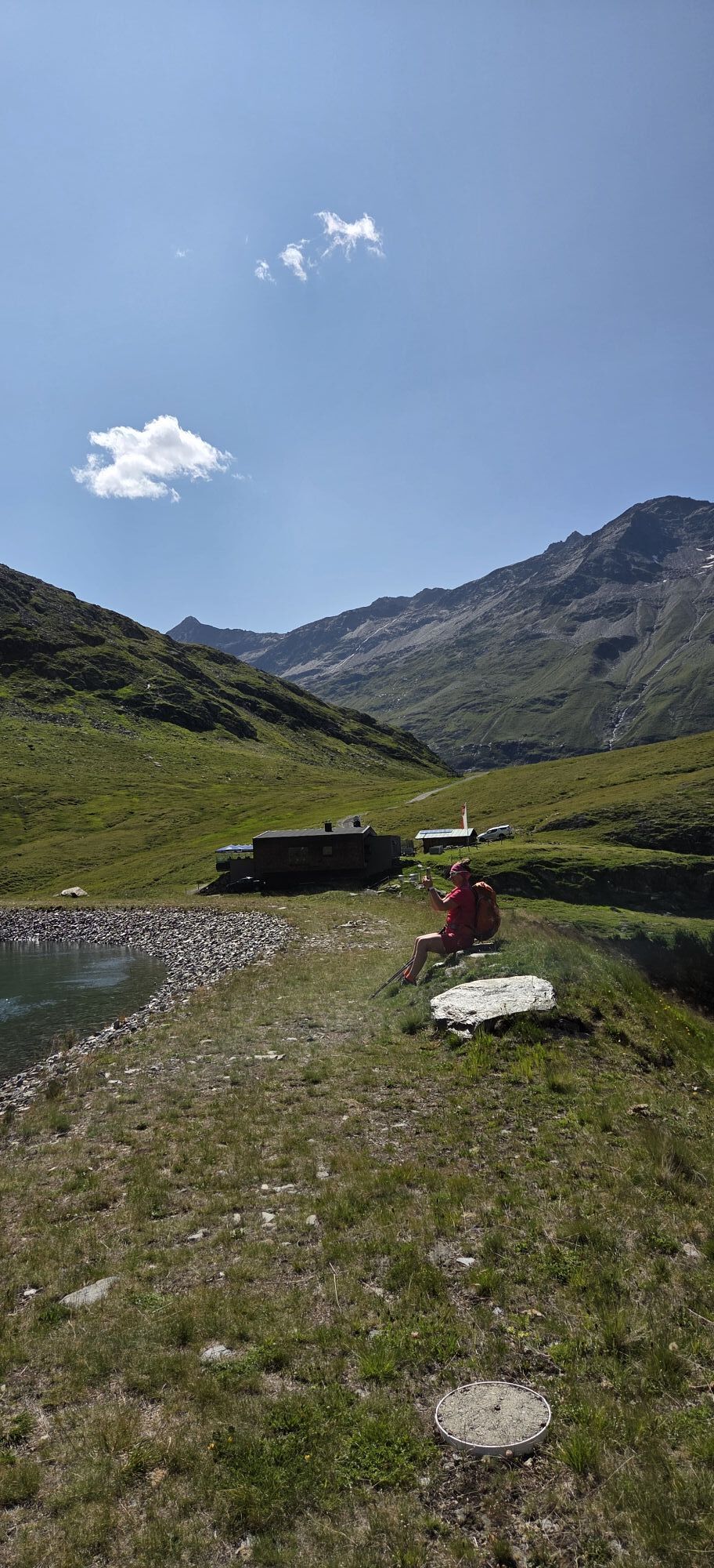
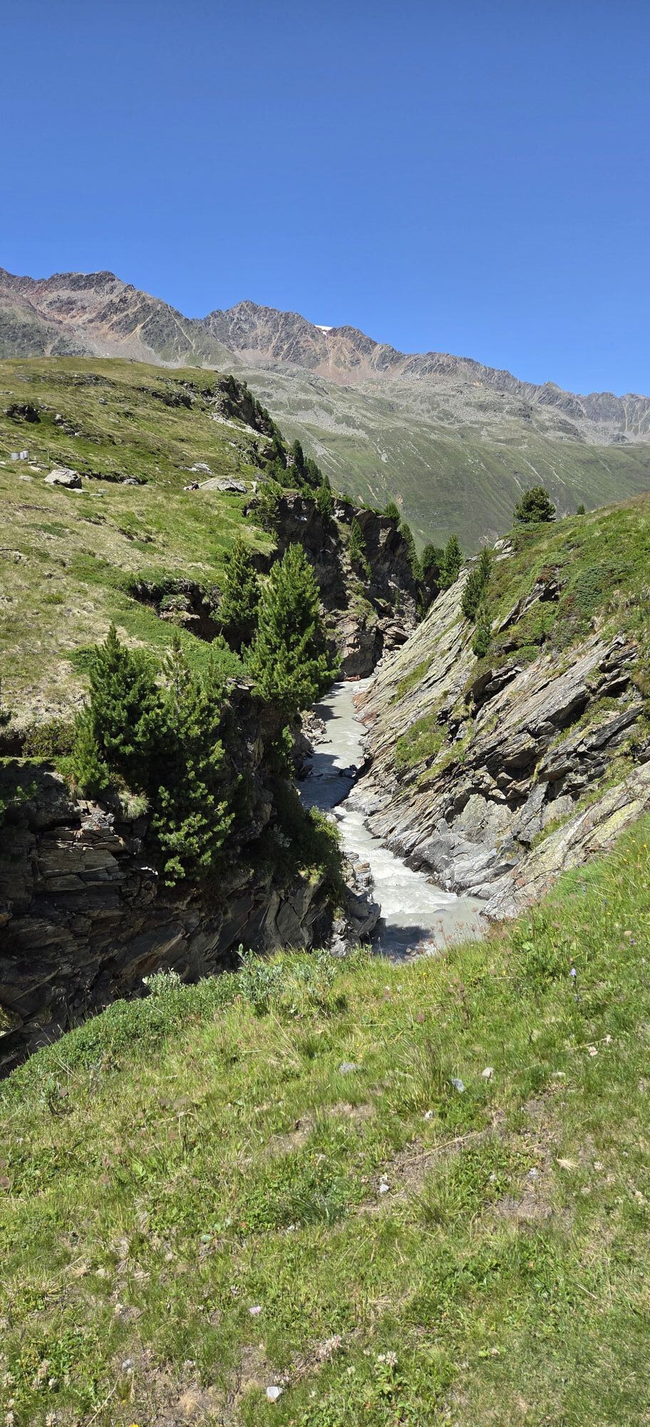
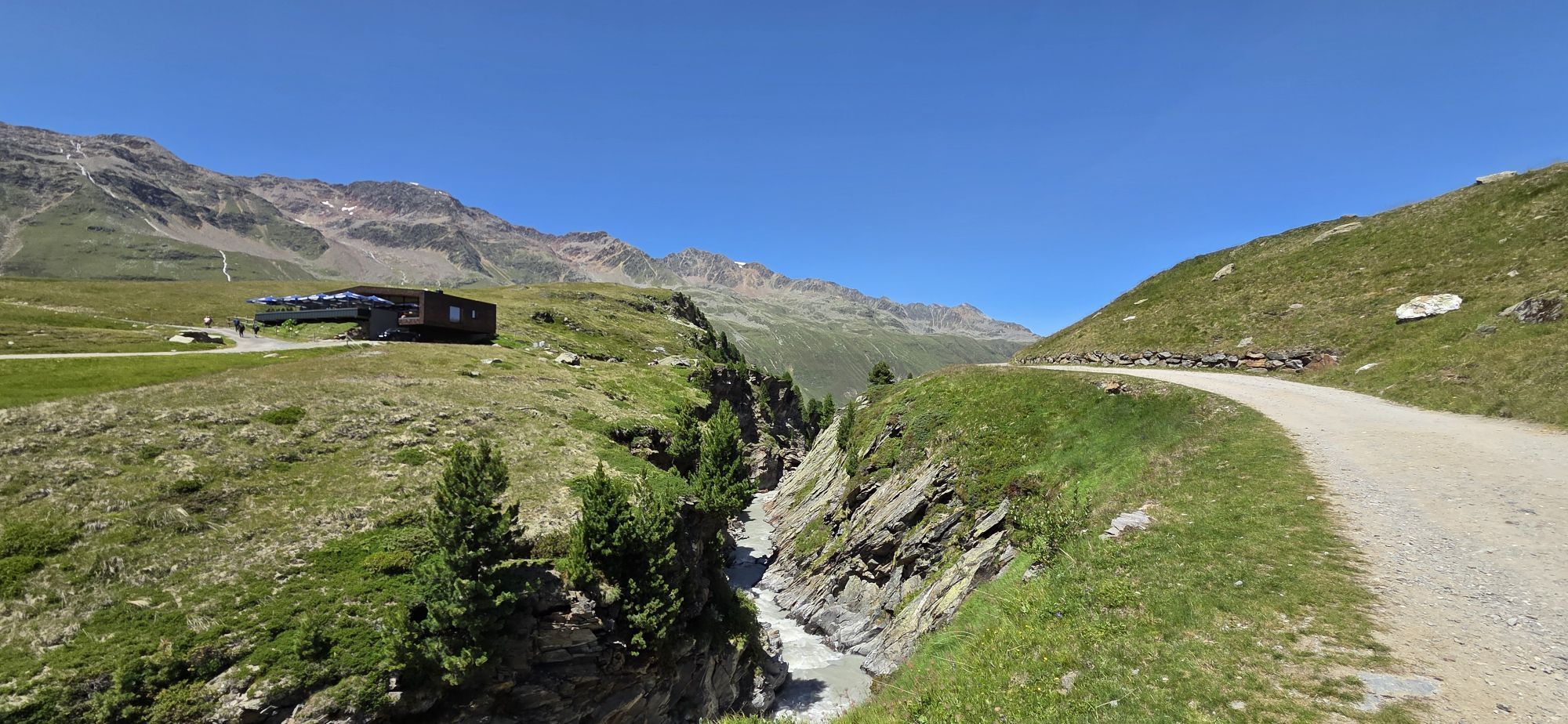
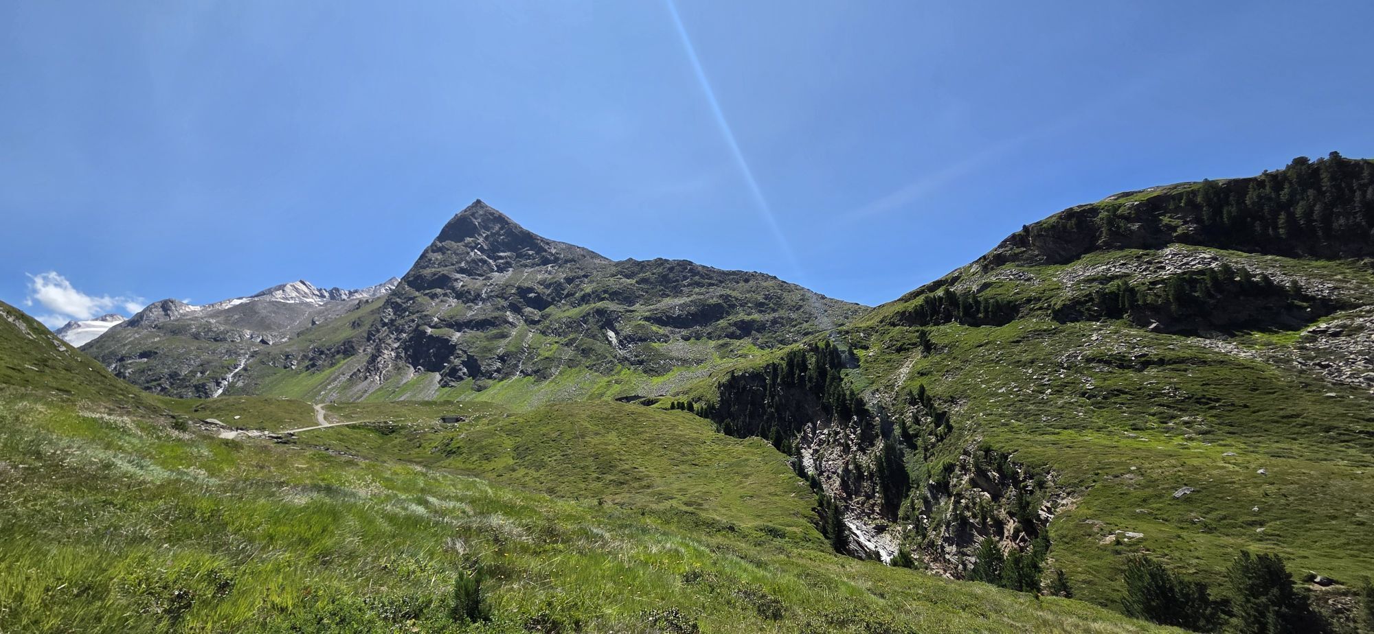
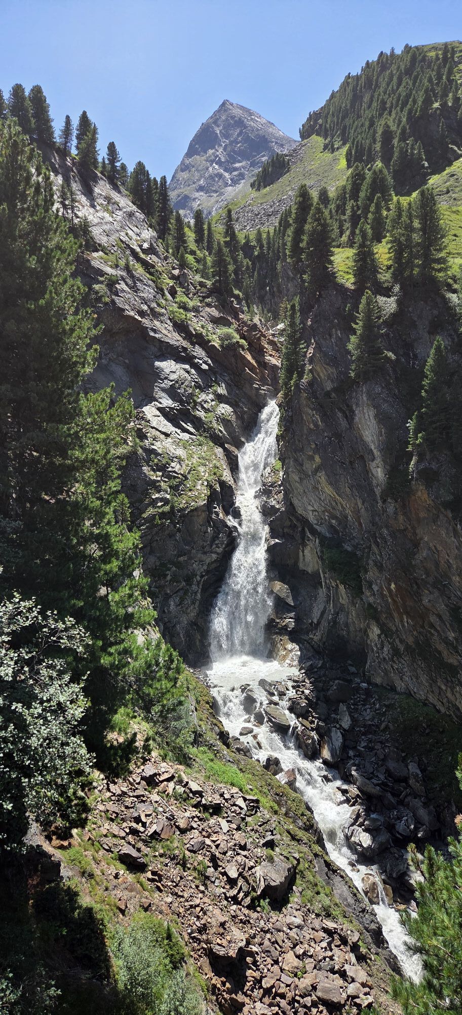
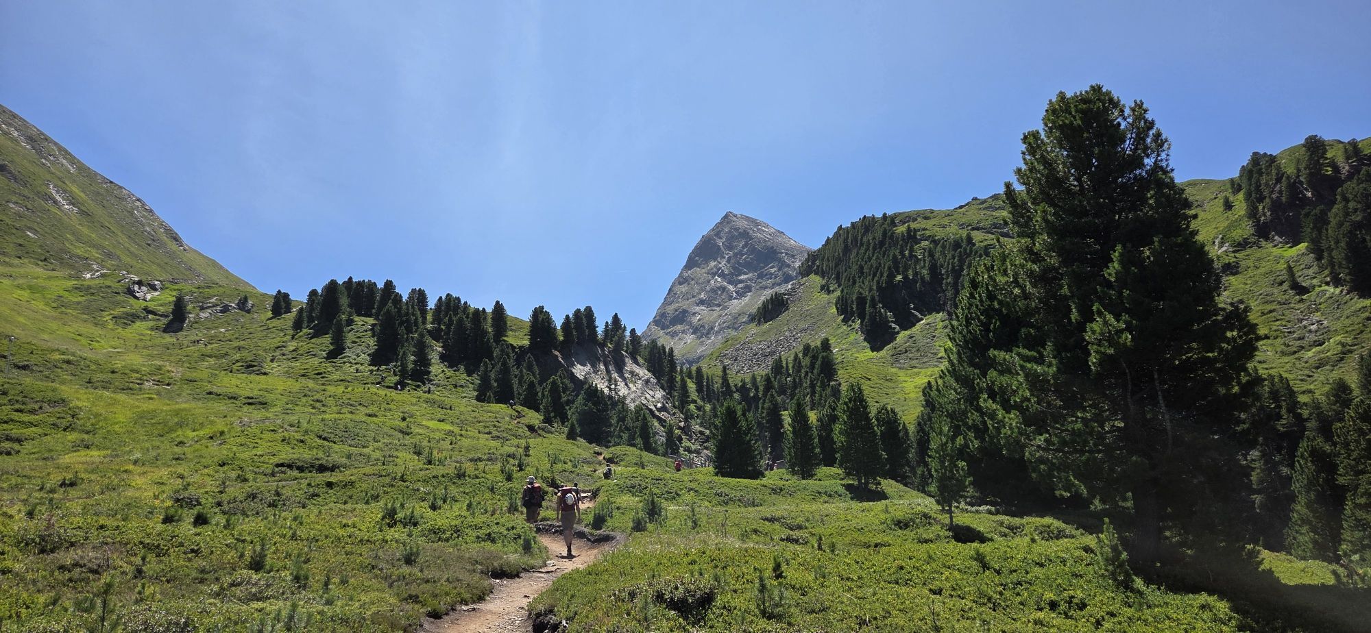
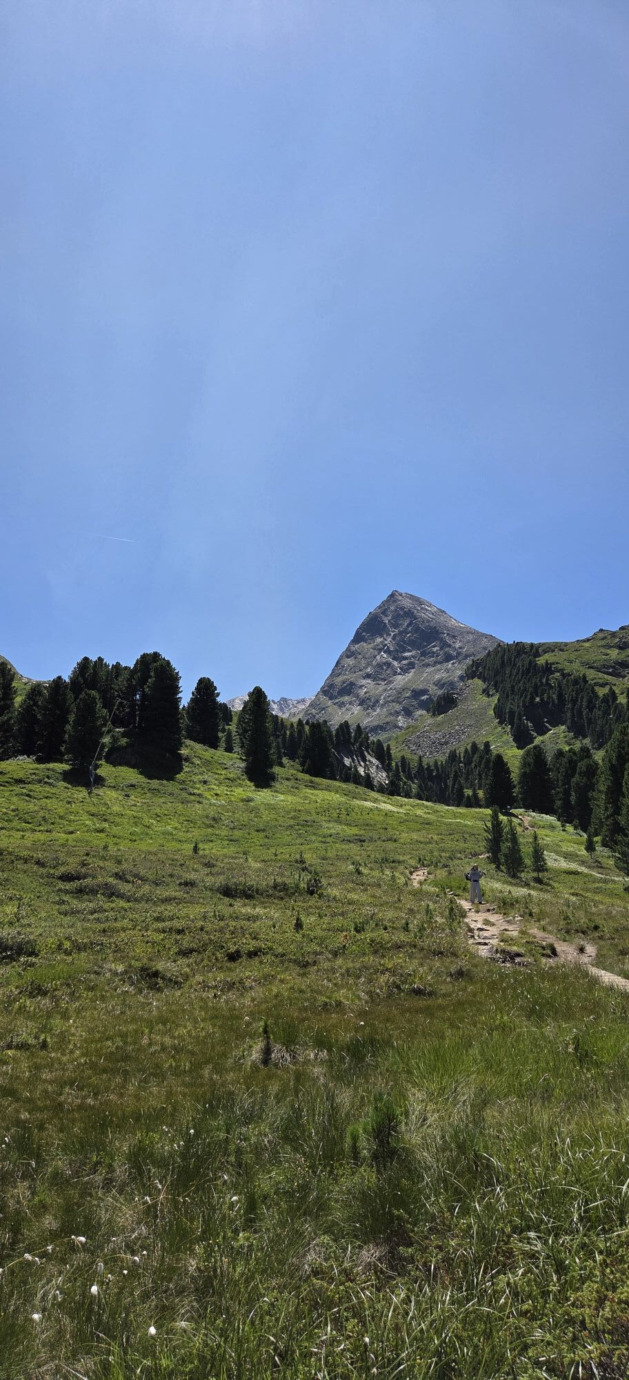
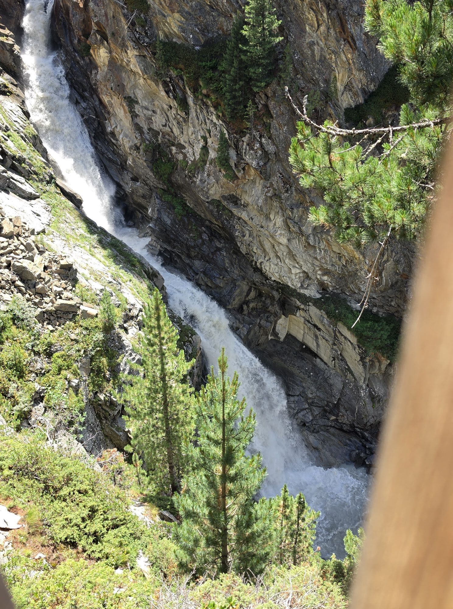
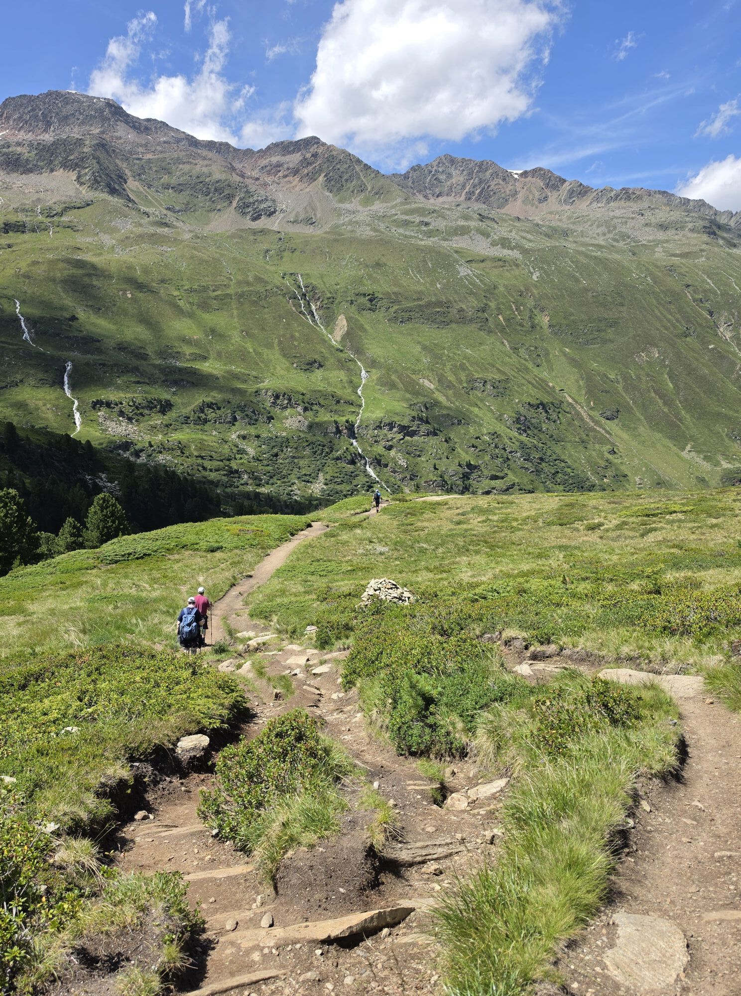
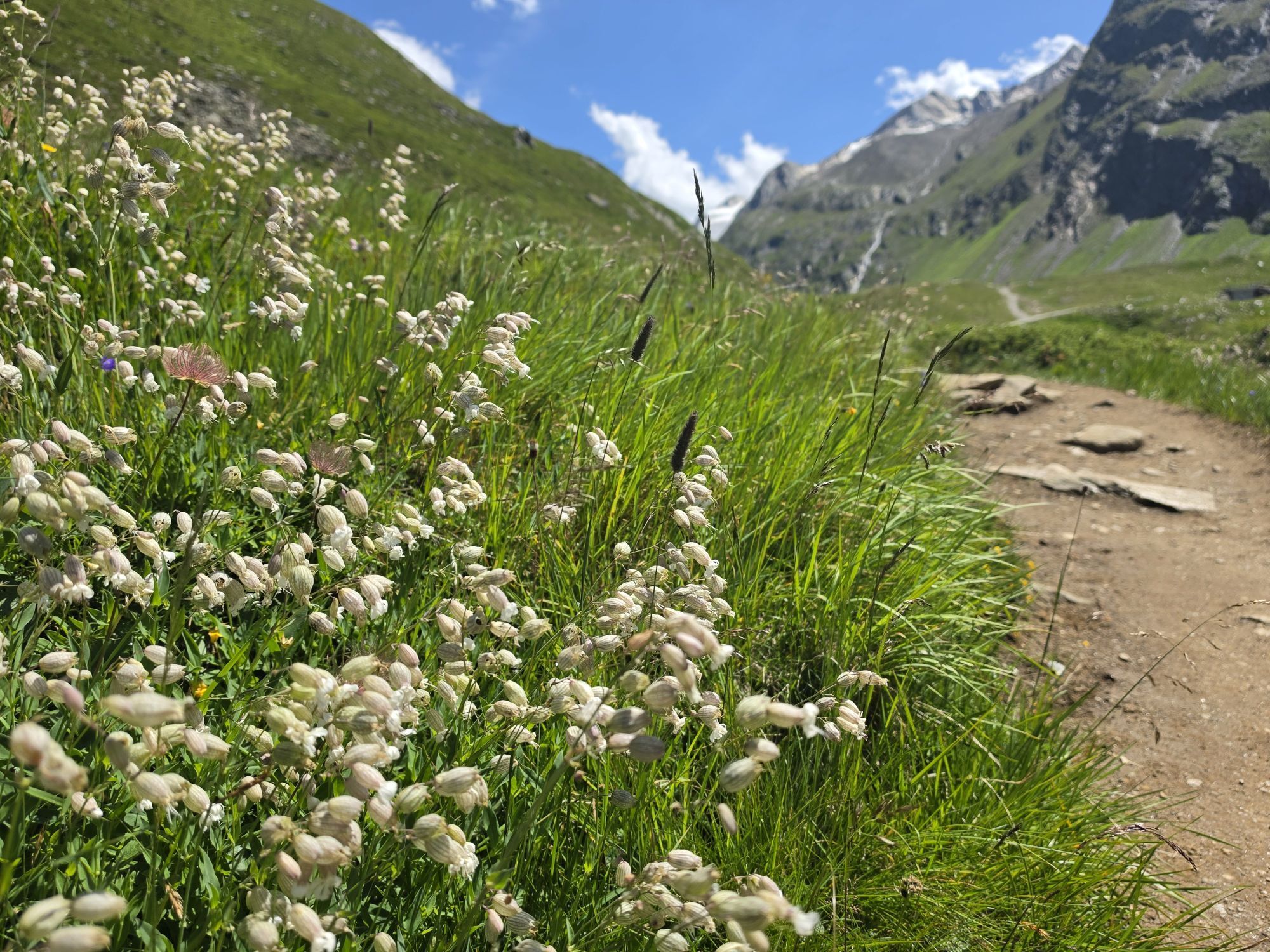
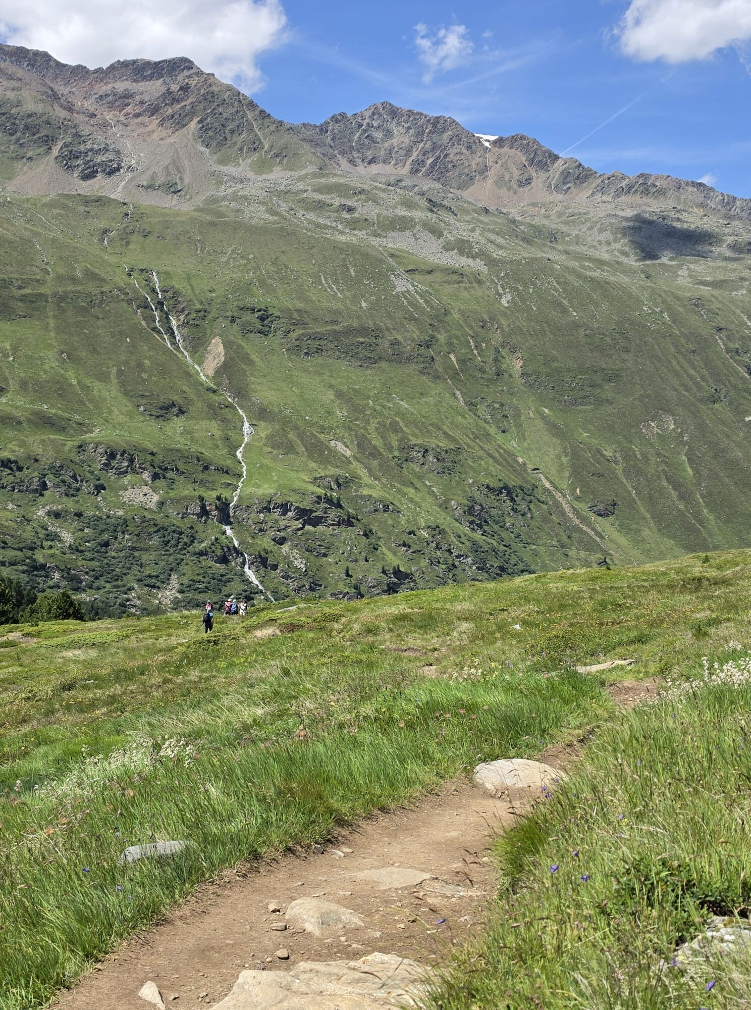
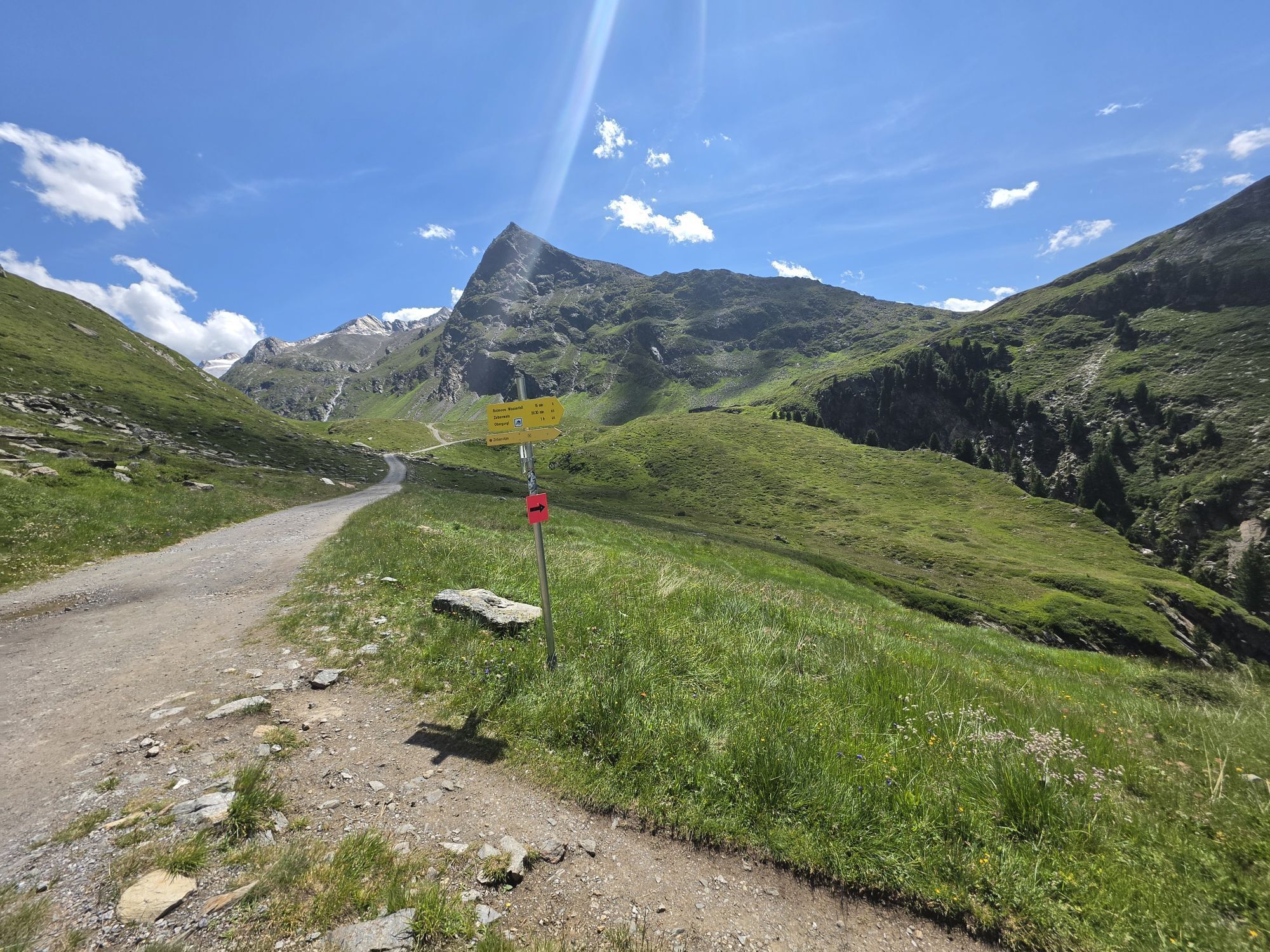
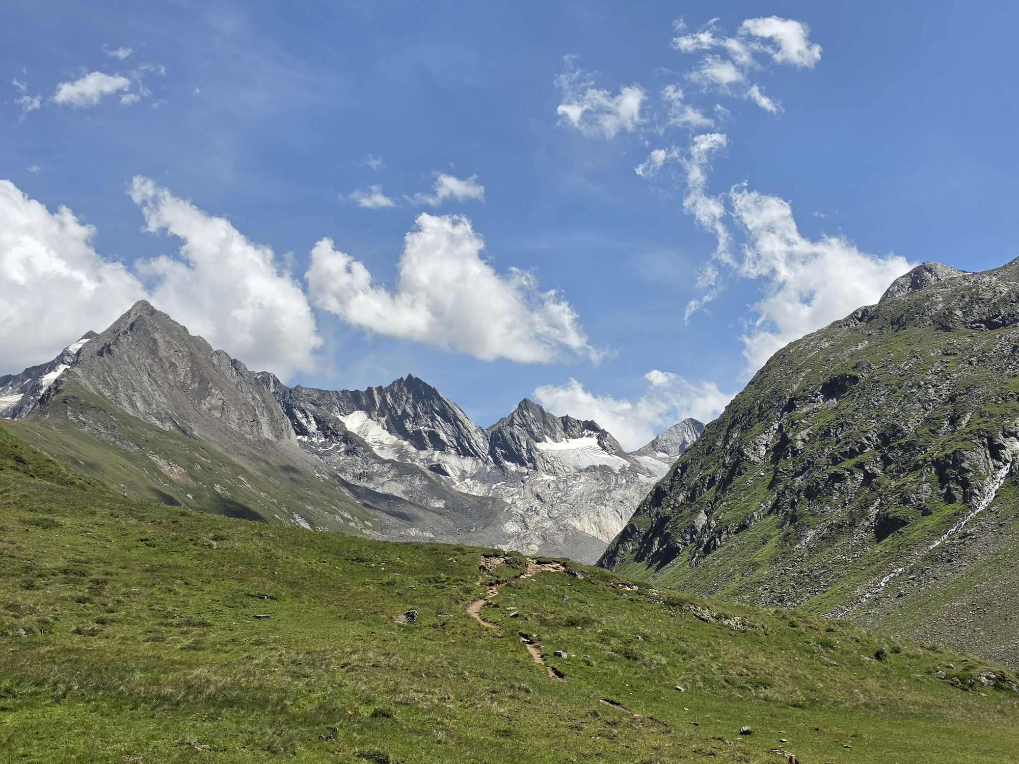
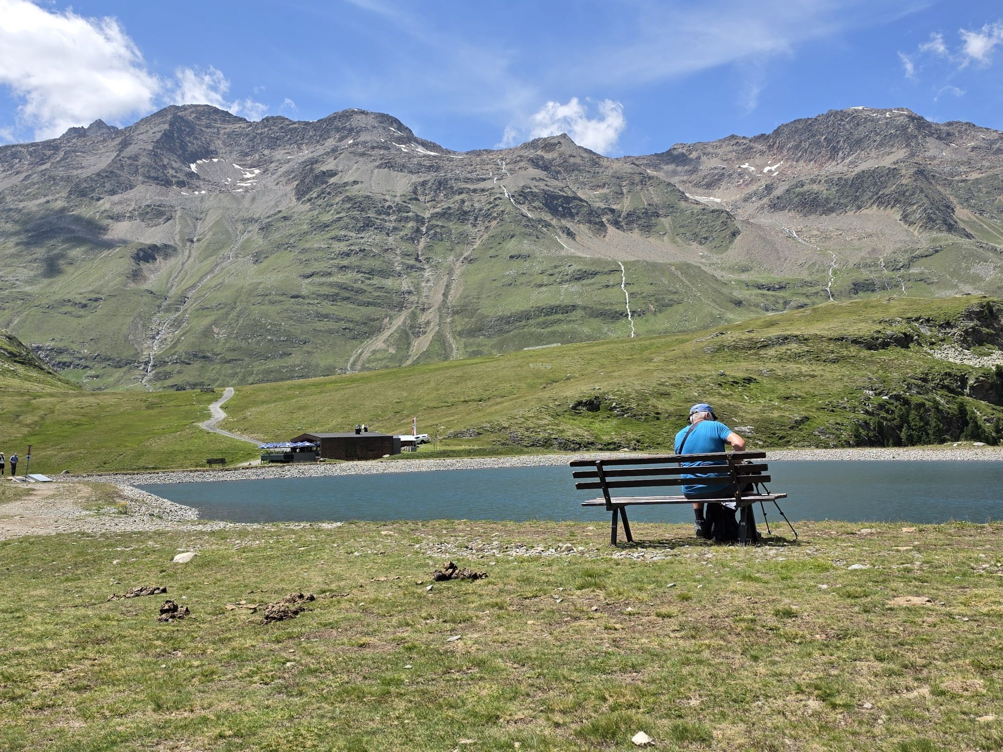
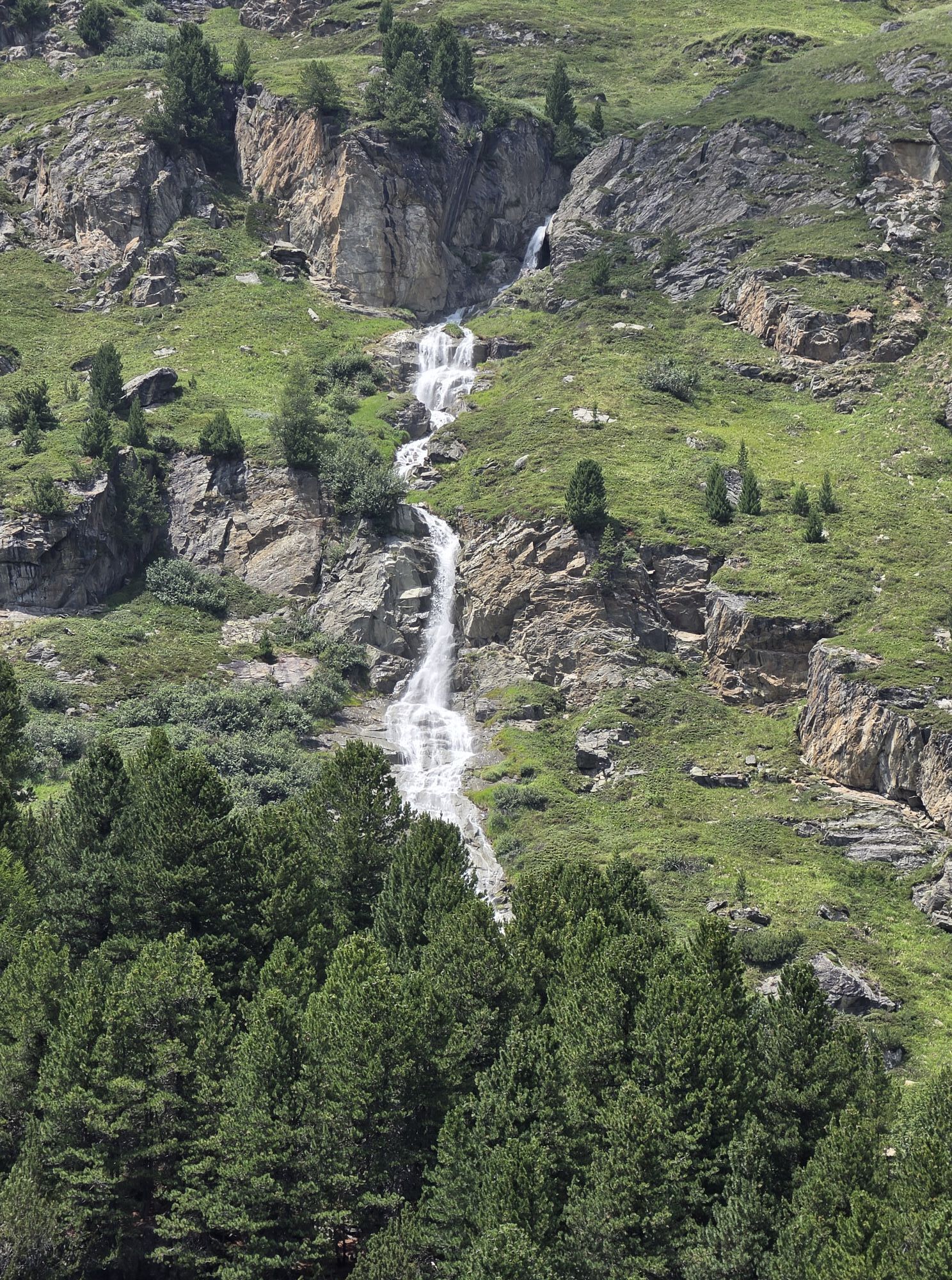
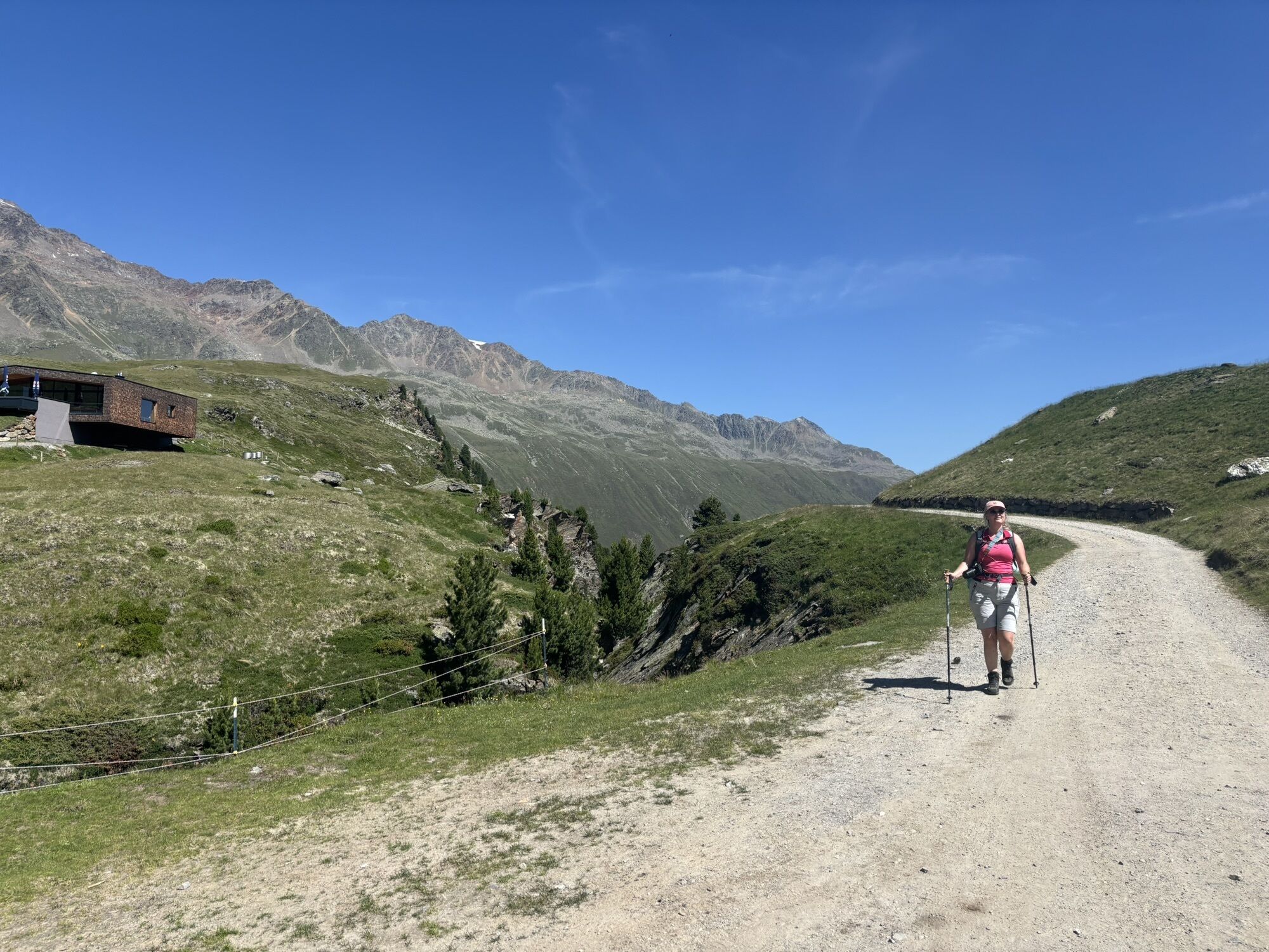
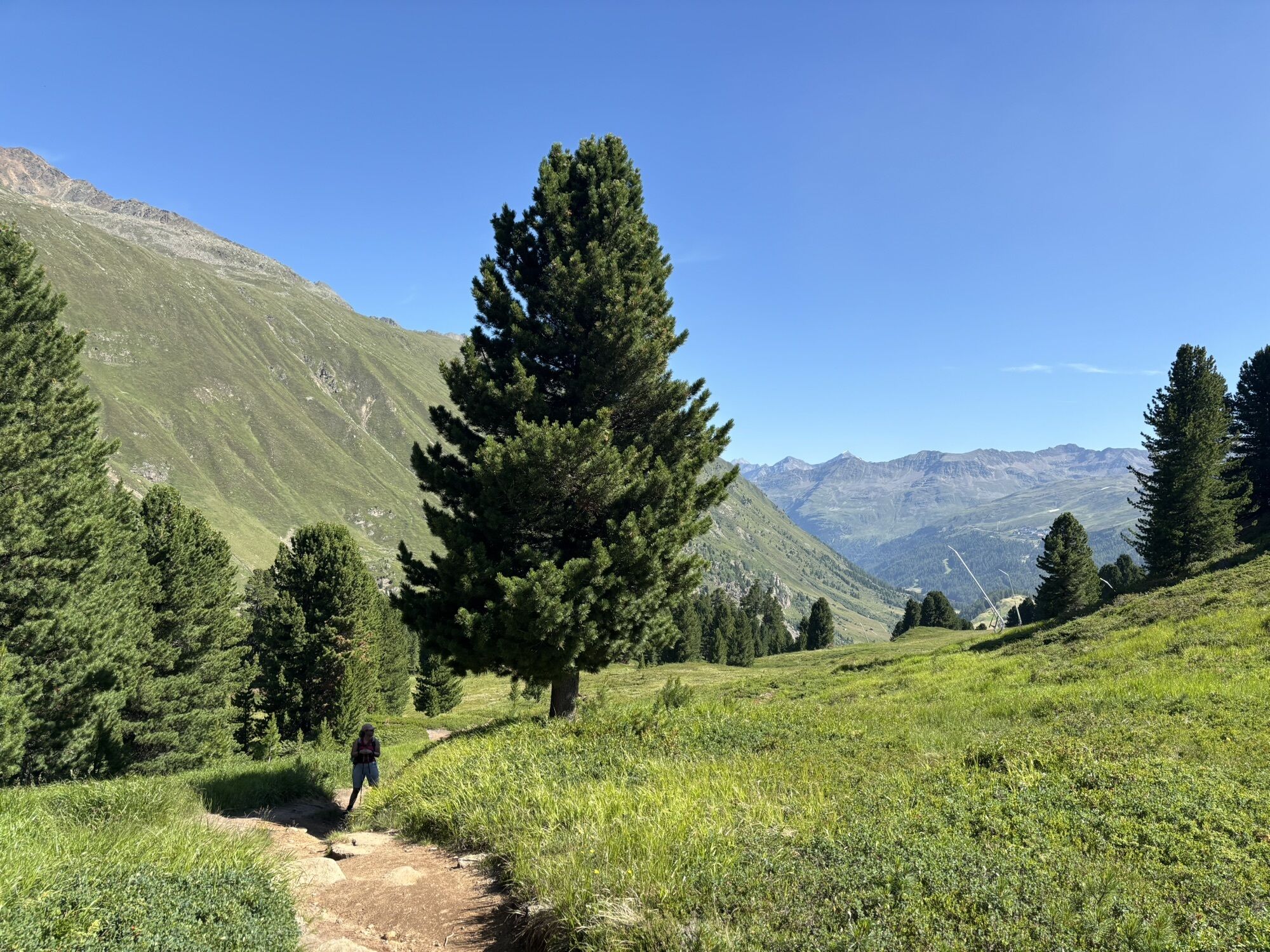
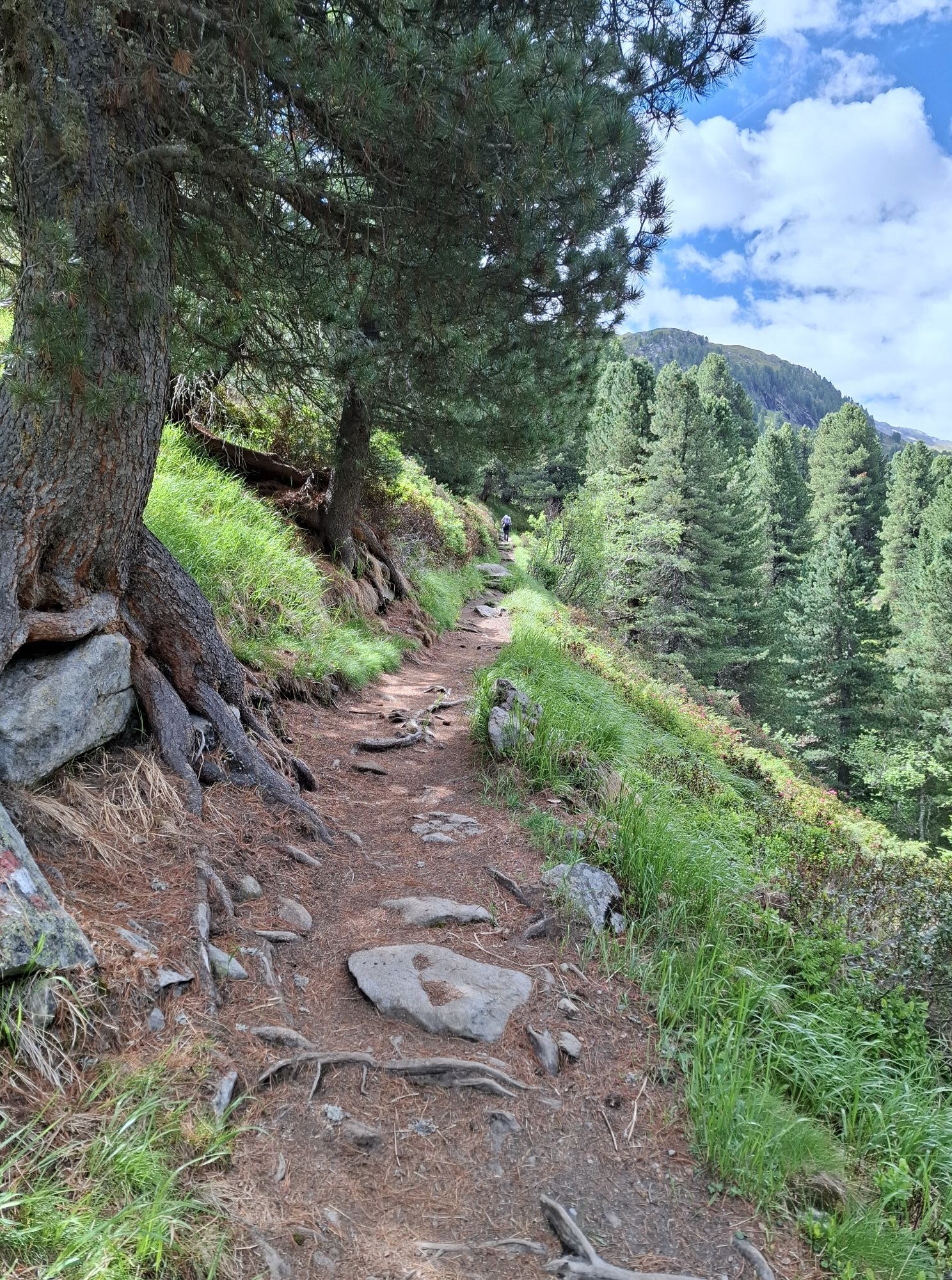
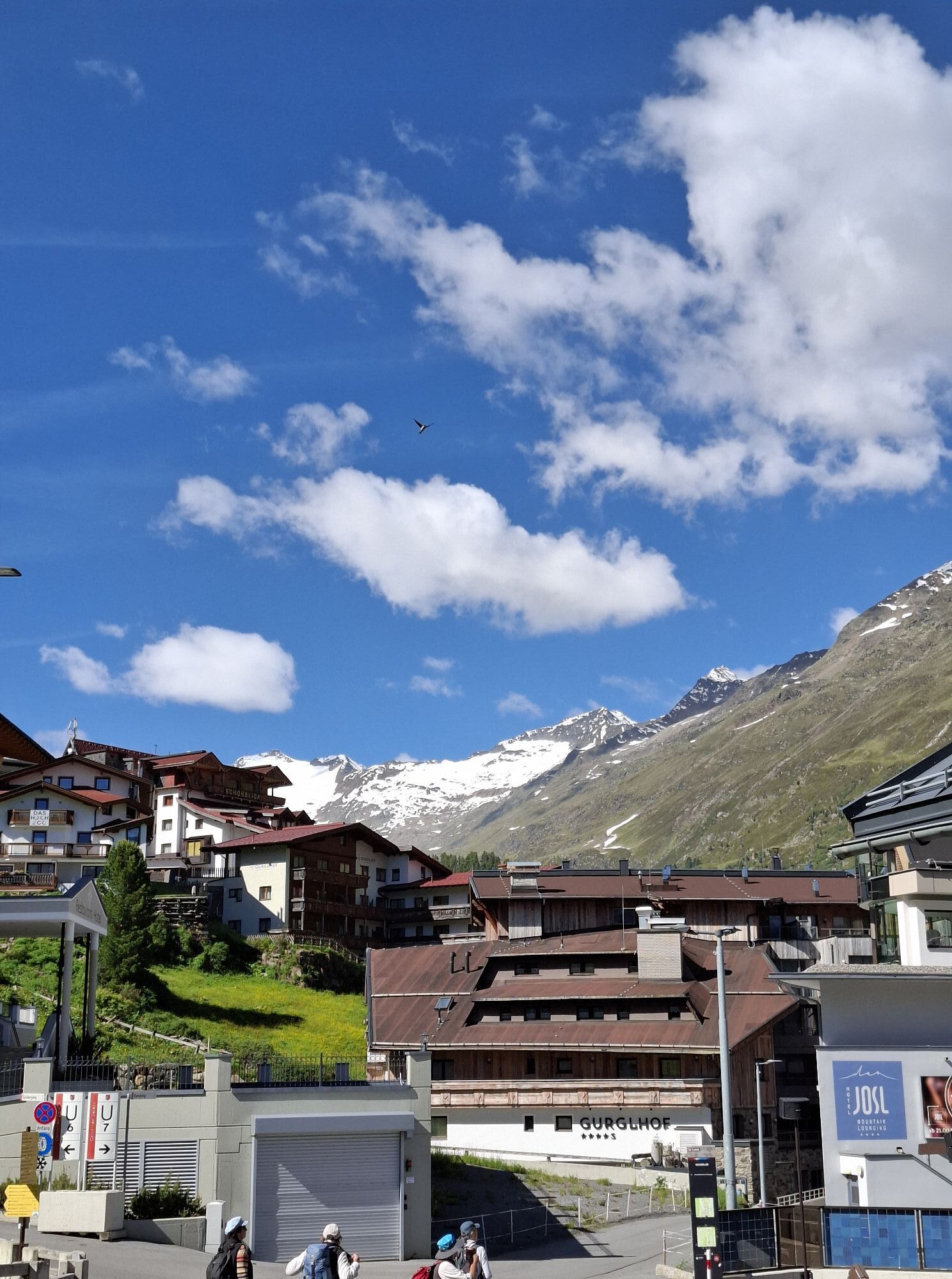
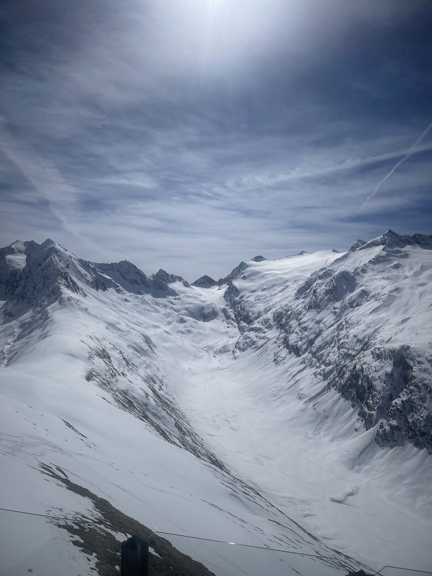
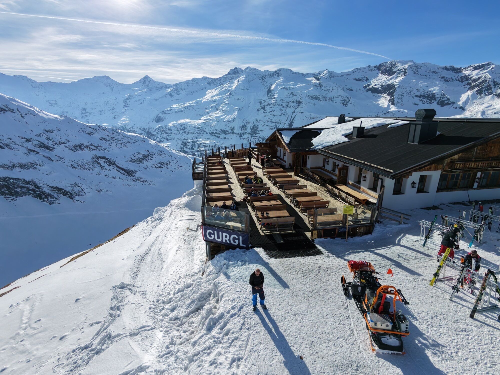
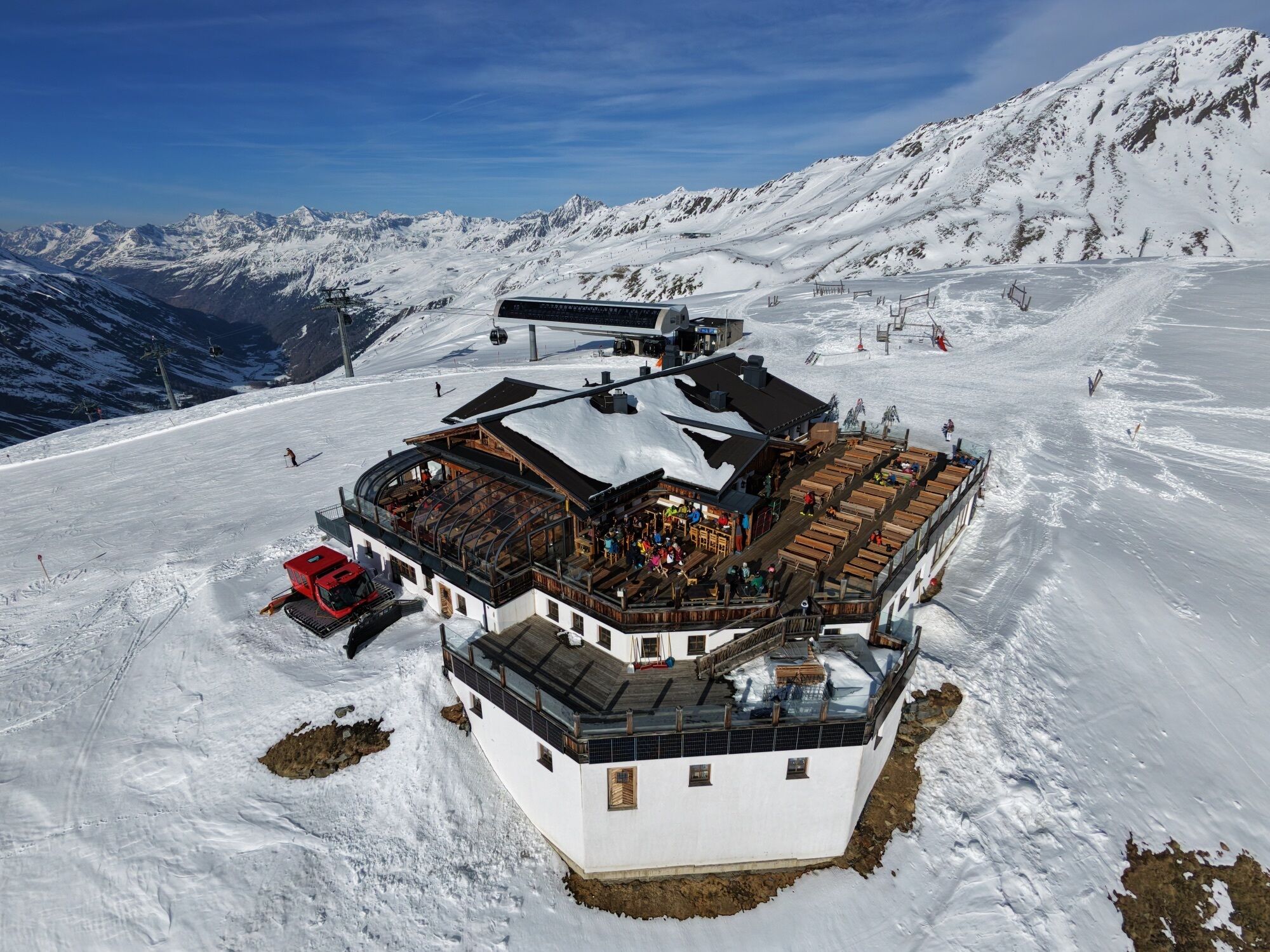
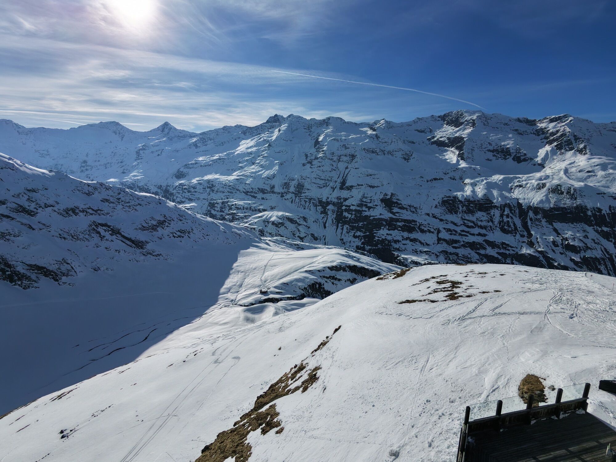
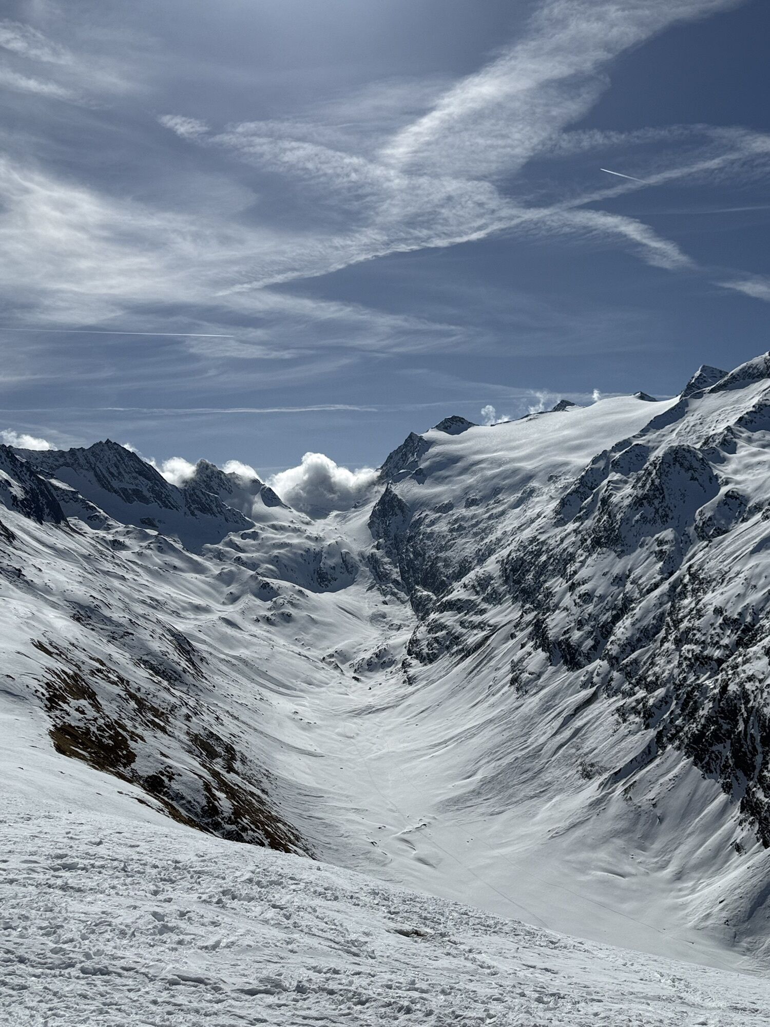
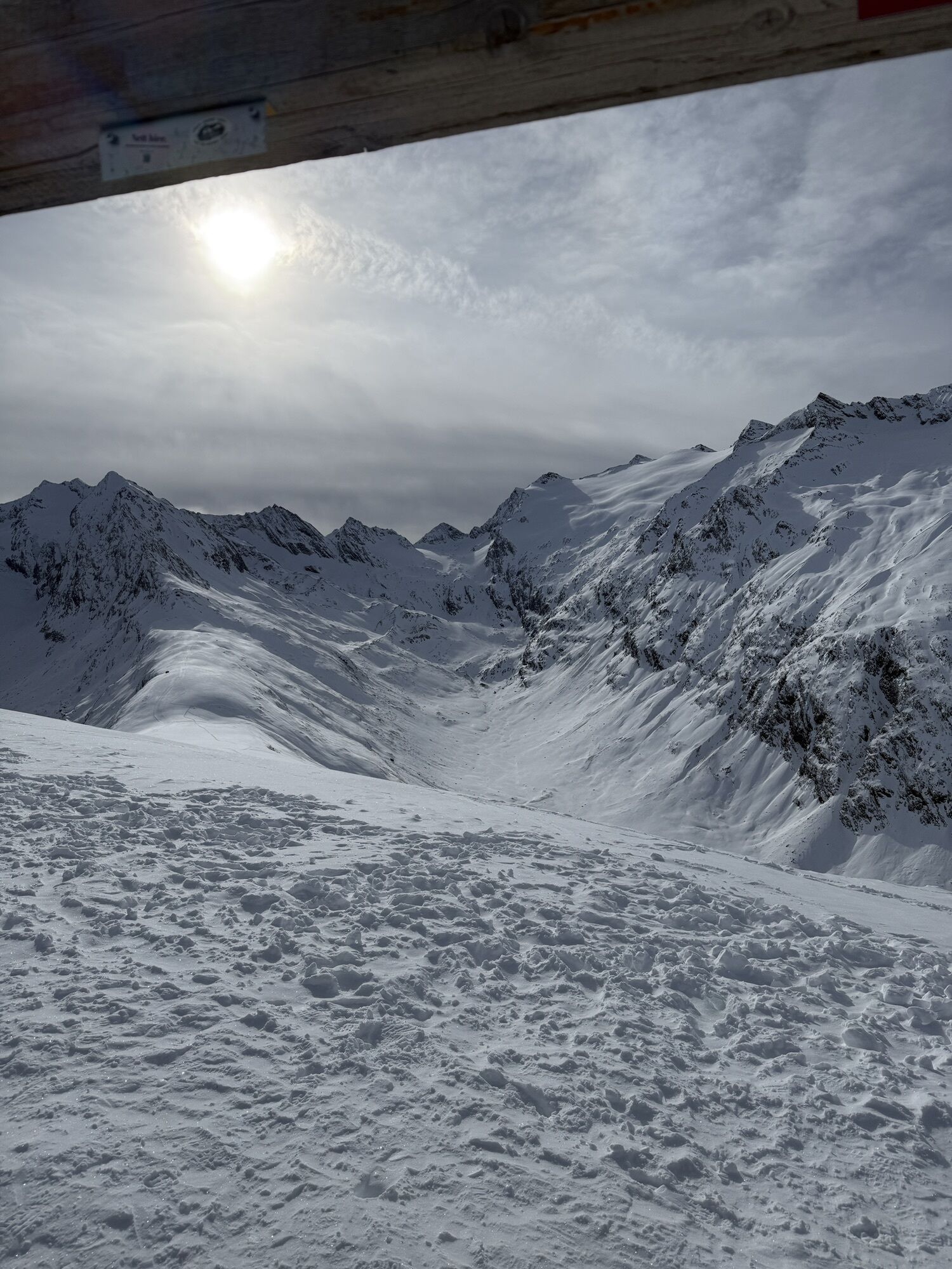
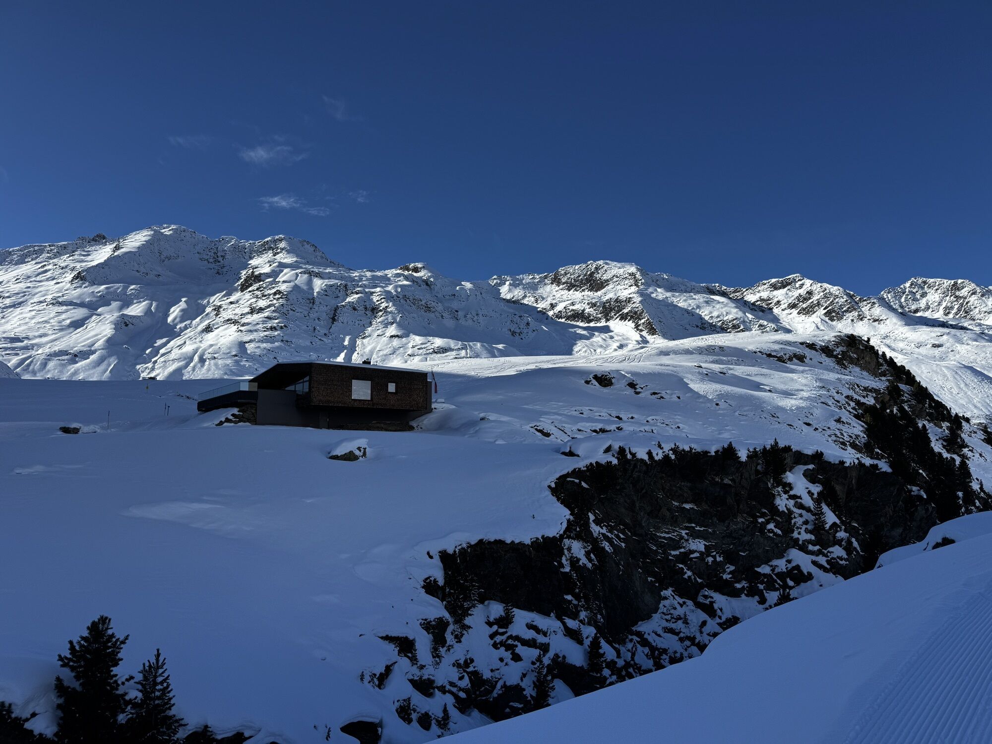
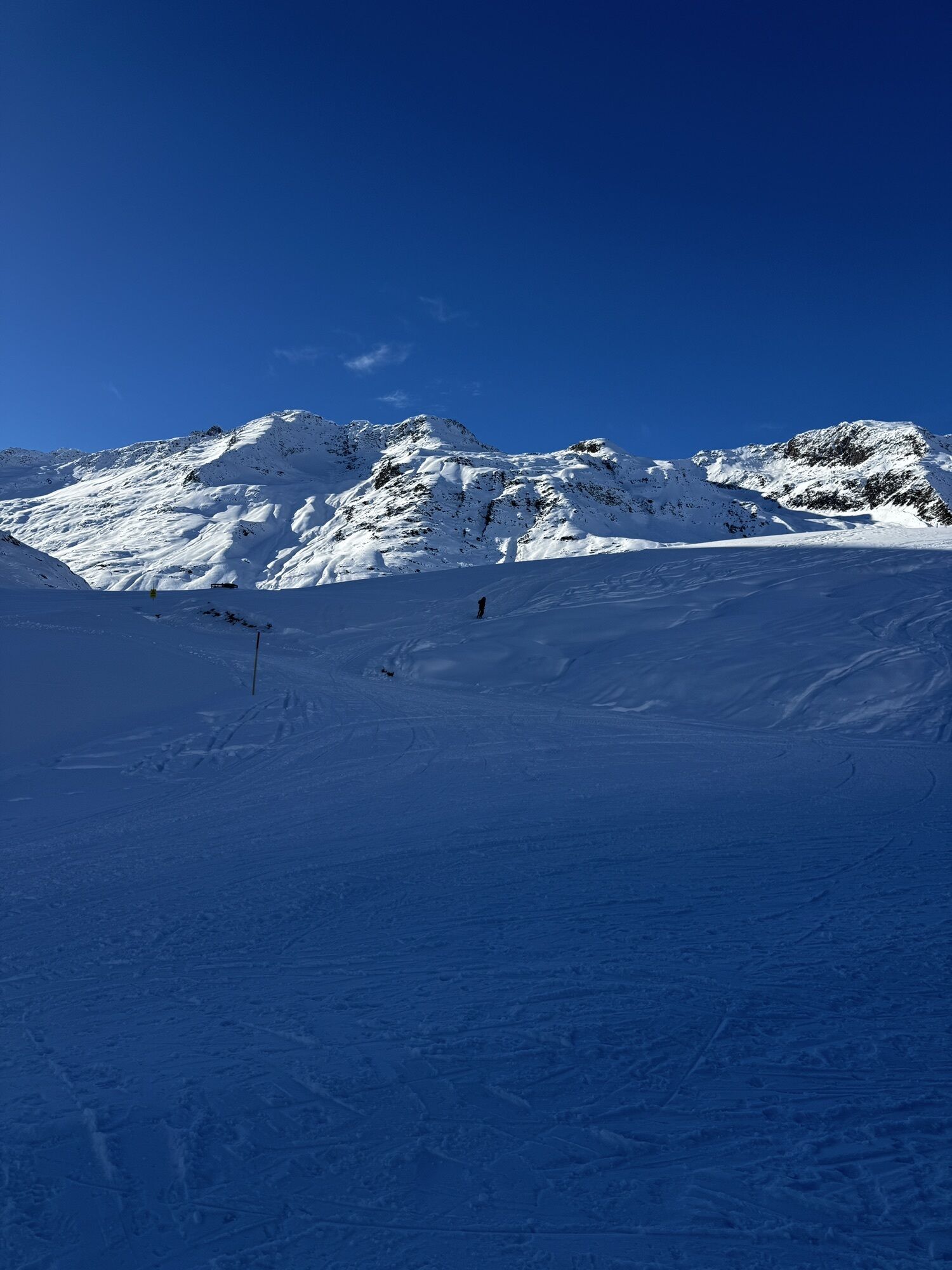
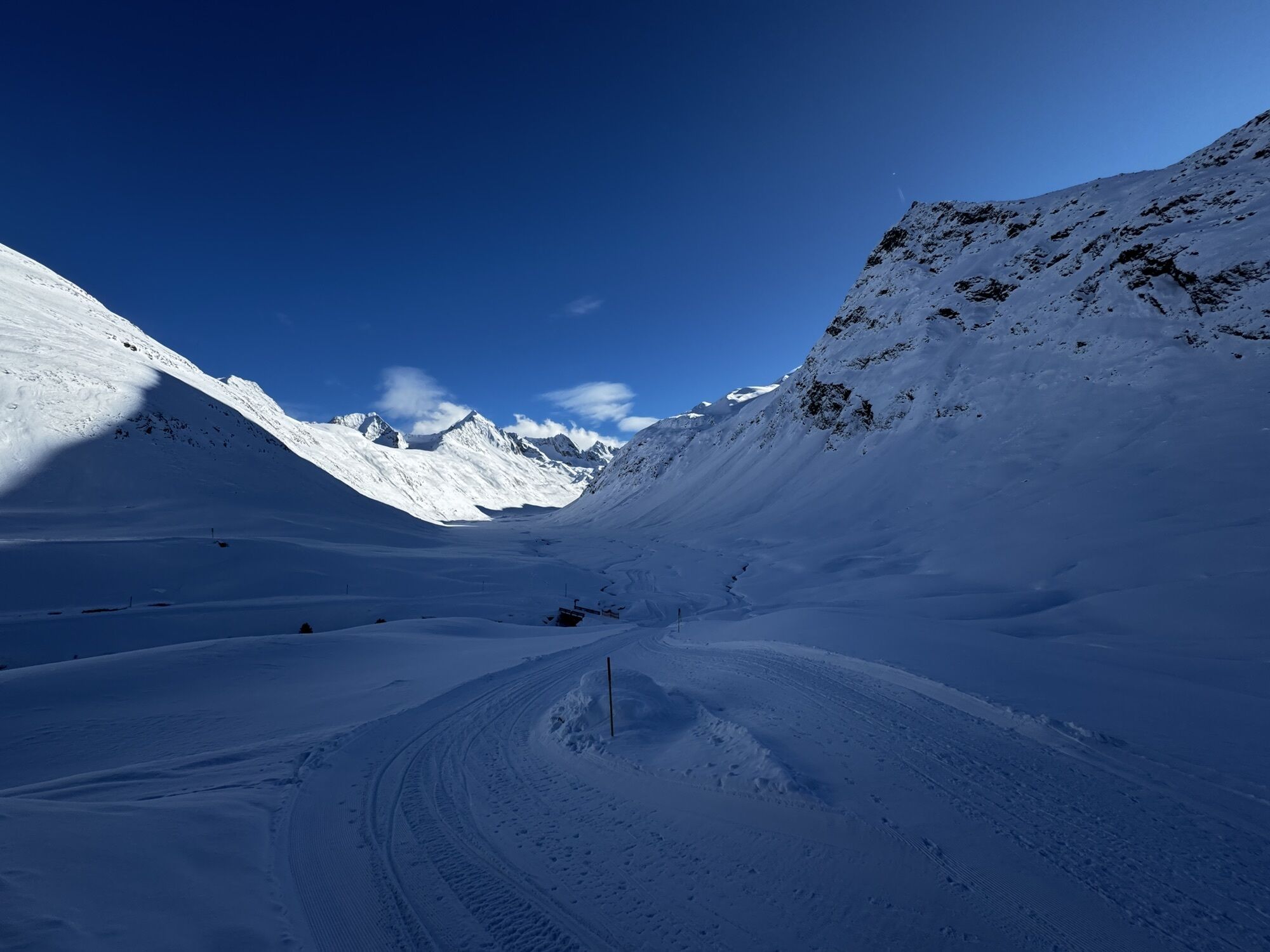
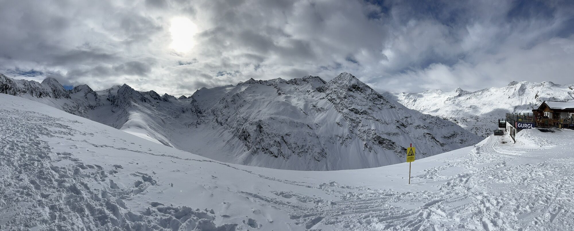

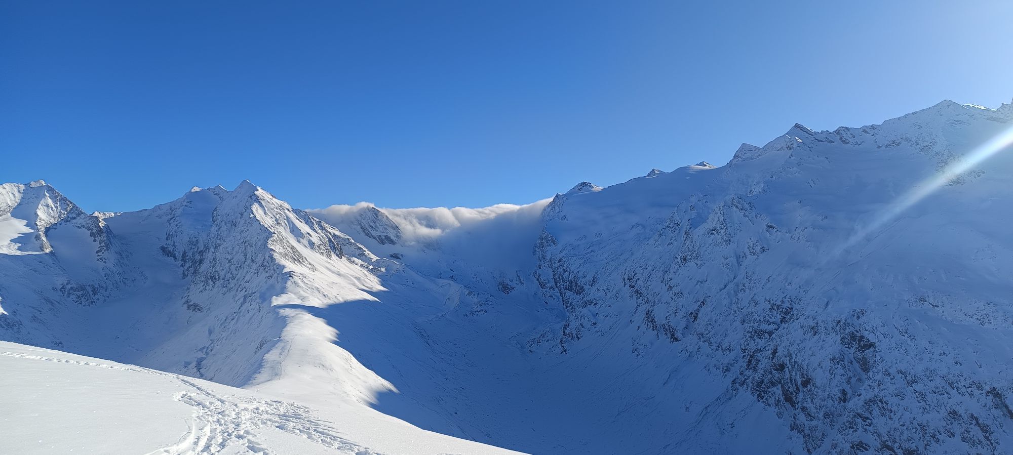
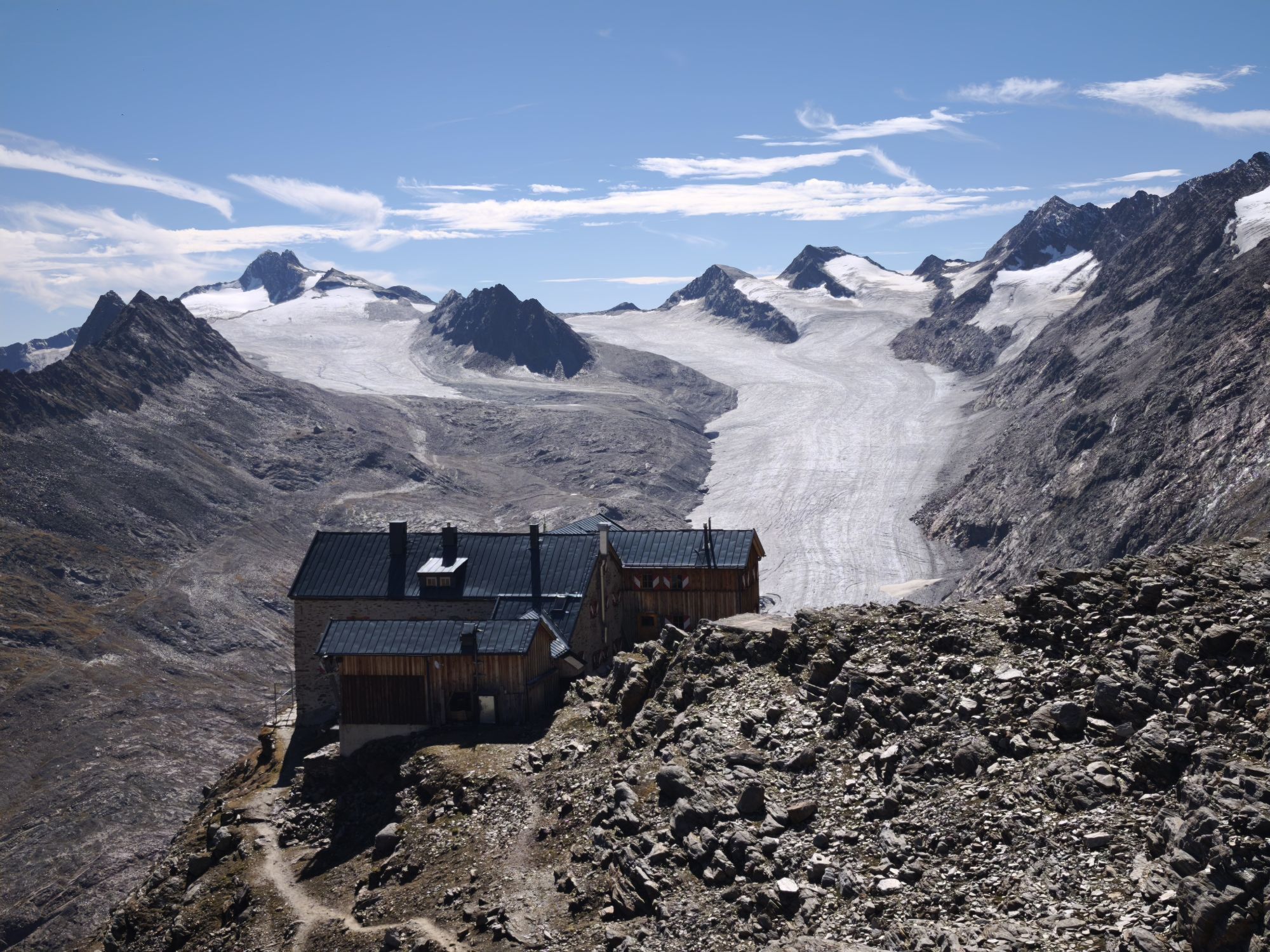
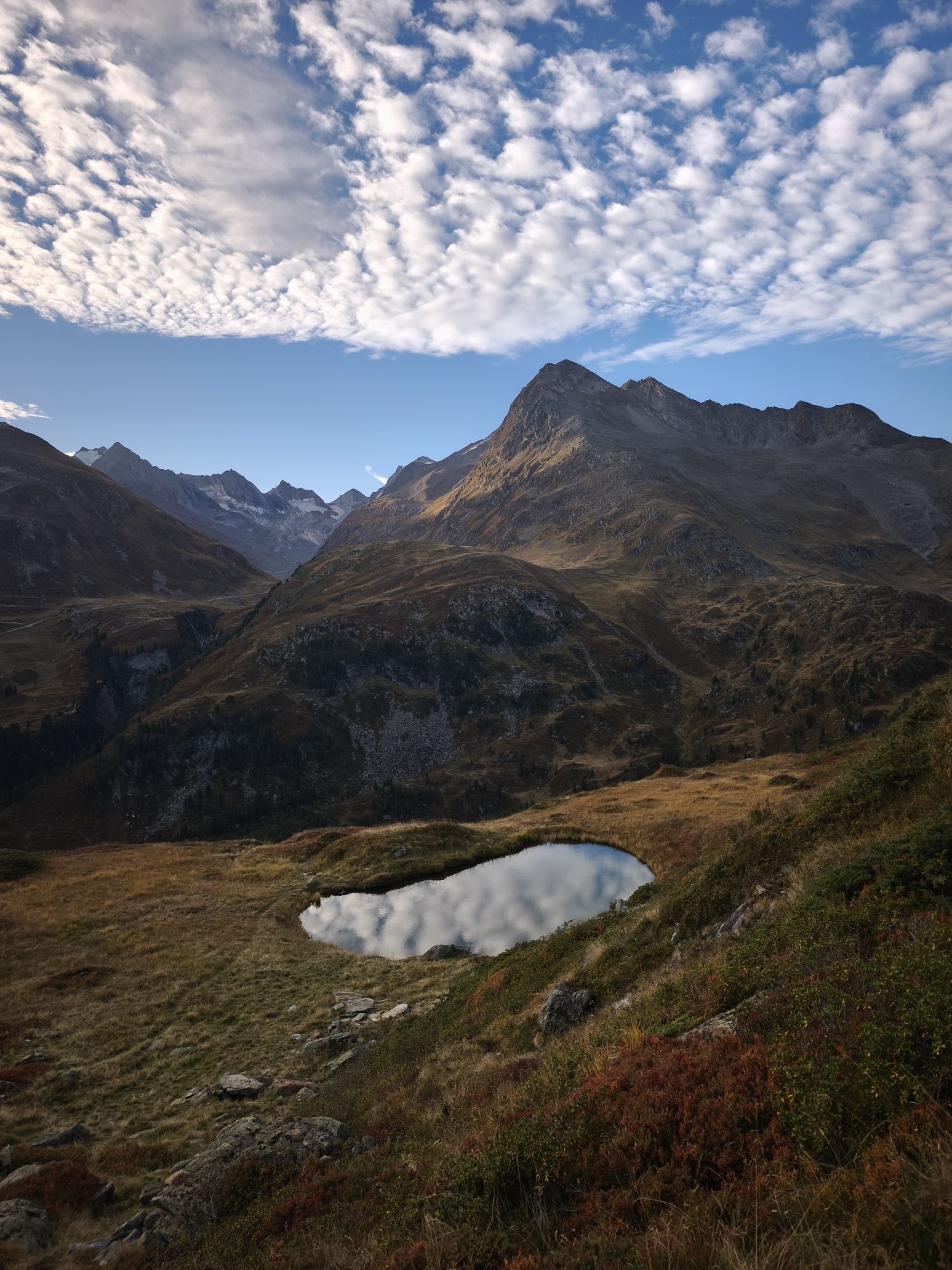
The start is at just under 2,000m above sea level in Obergurgl. After 1 kilometer to warm up, runners enter the pine forest. There awaits a 3-kilometer-long ascent to the first refreshment station at the...
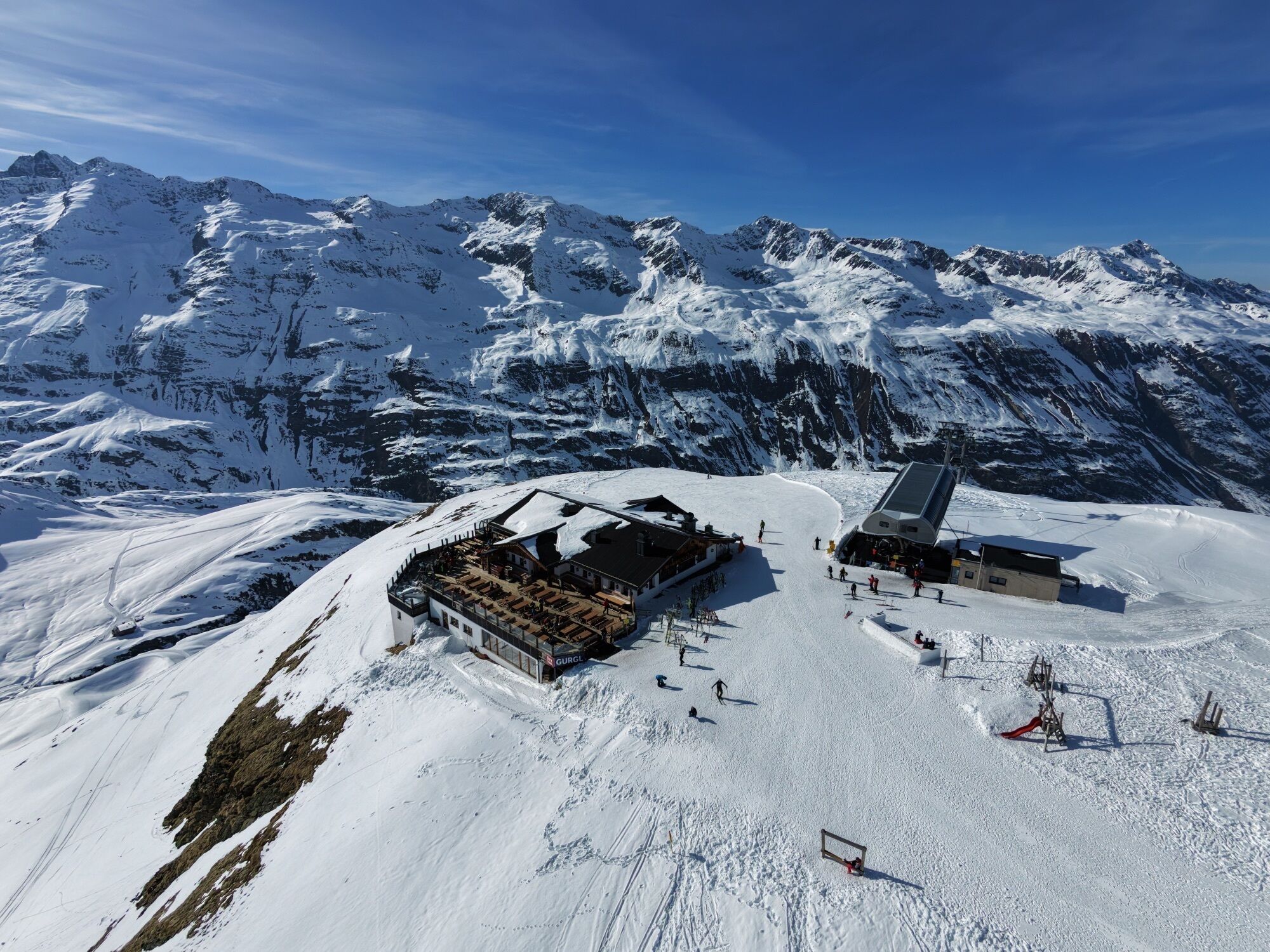
The start is at just under 2,000m above sea level in Obergurgl. After 1 kilometer to warm up, runners enter the pine forest. There awaits a 3-kilometer-long ascent to the first refreshment station at the Schönwieshütte. After a refreshment, the route continues into the beautiful Rotmoostal, where participants are accompanied by the fantastic natural spectacle to Hohe Mut Alm and the finish.

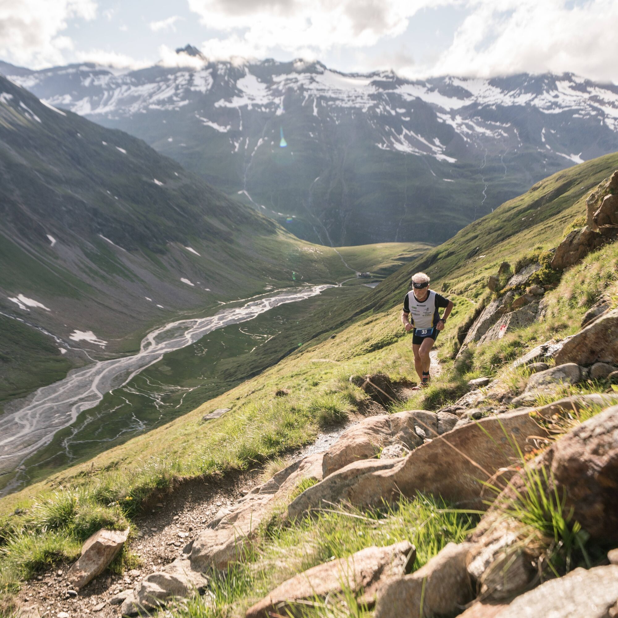

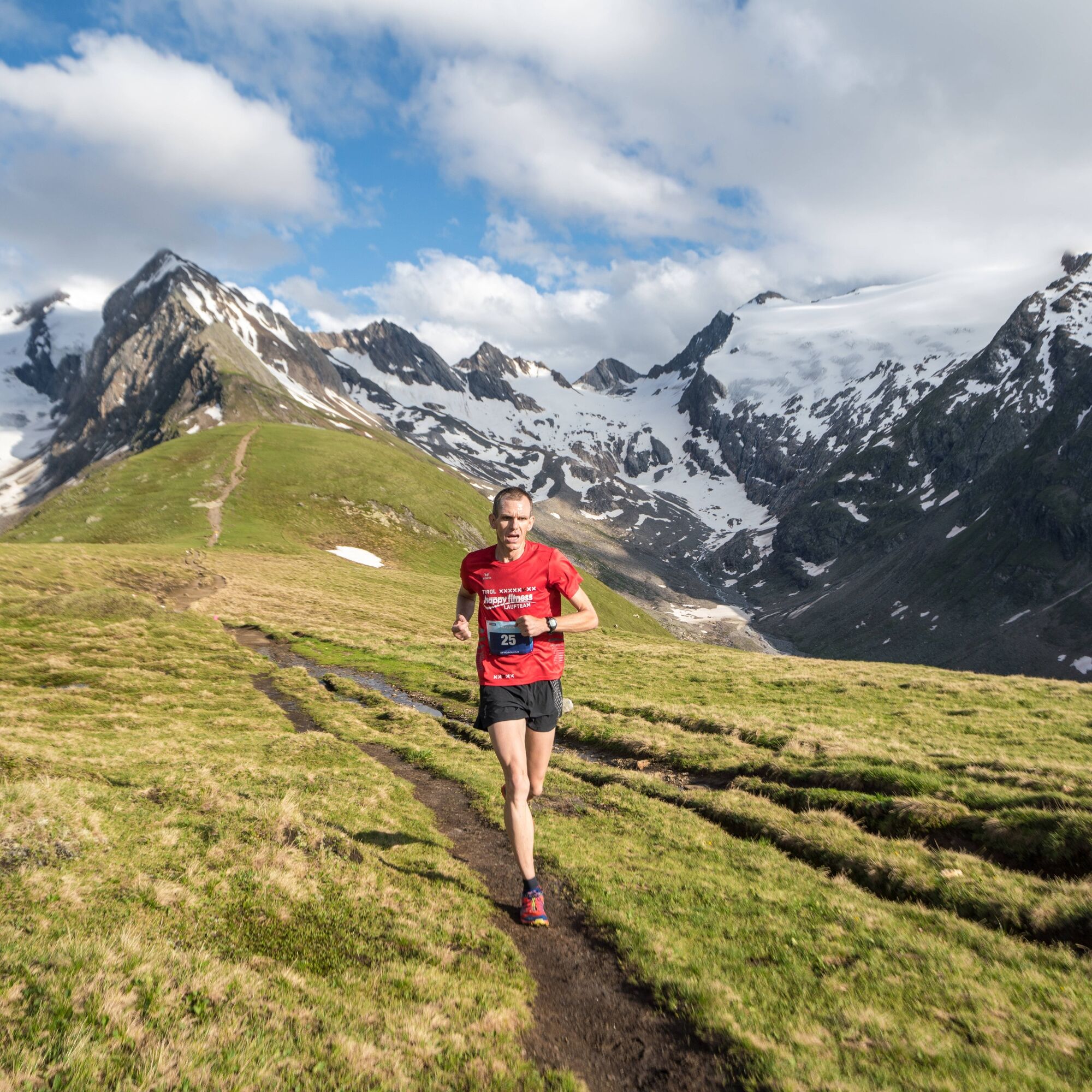
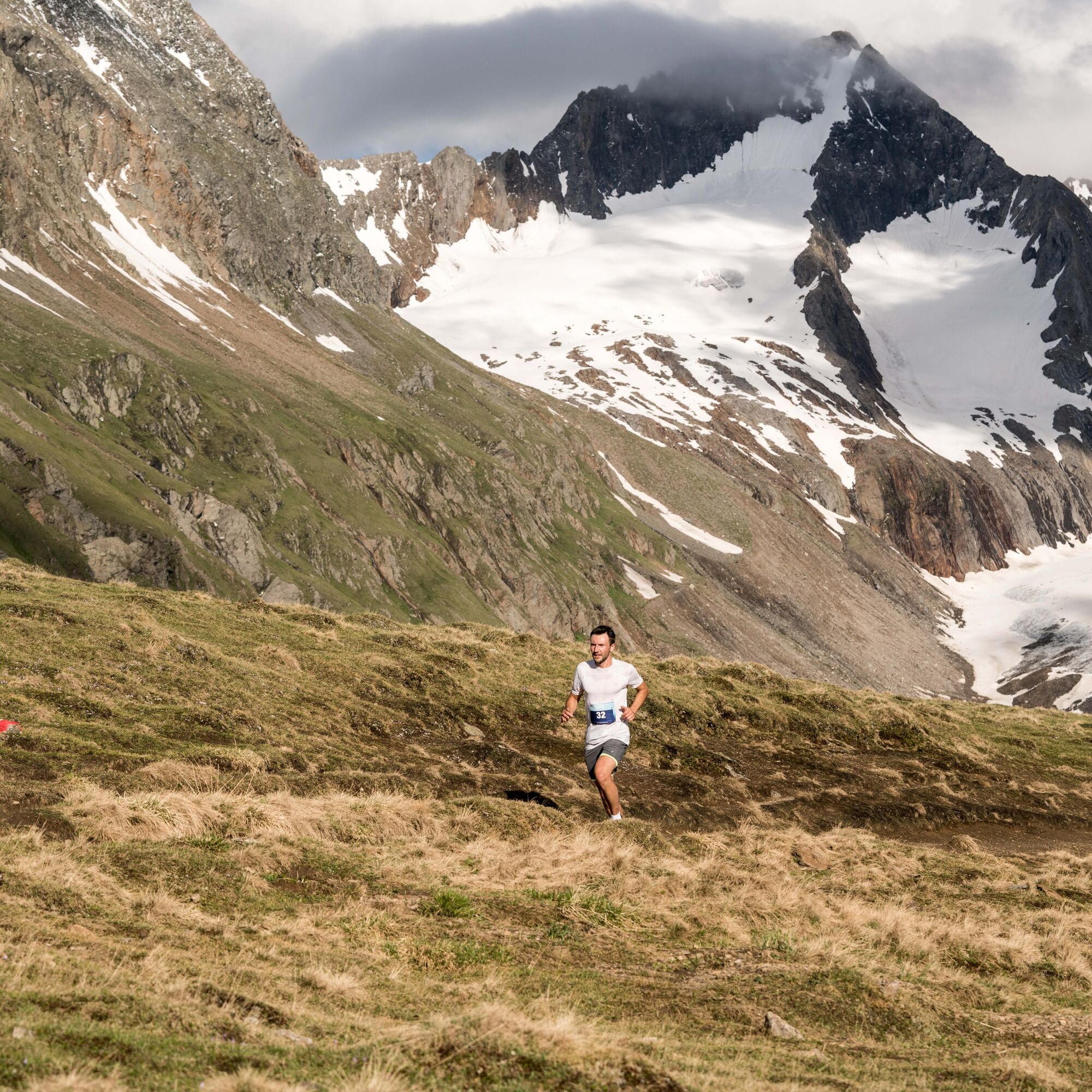

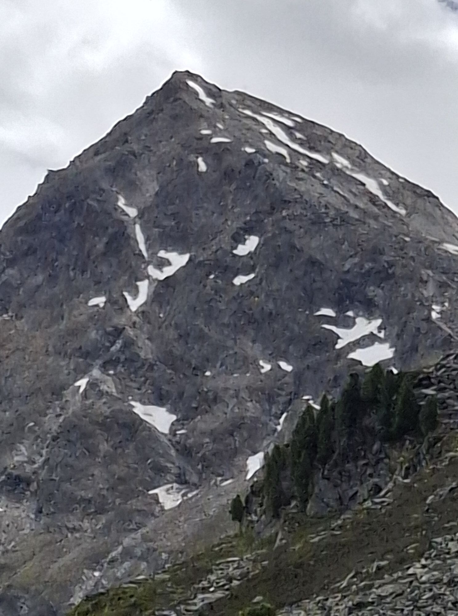
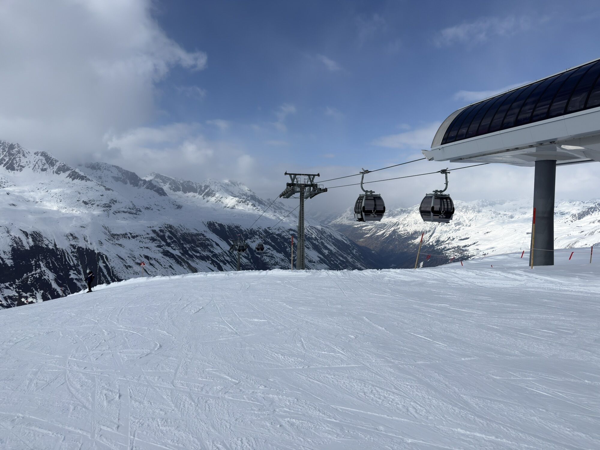
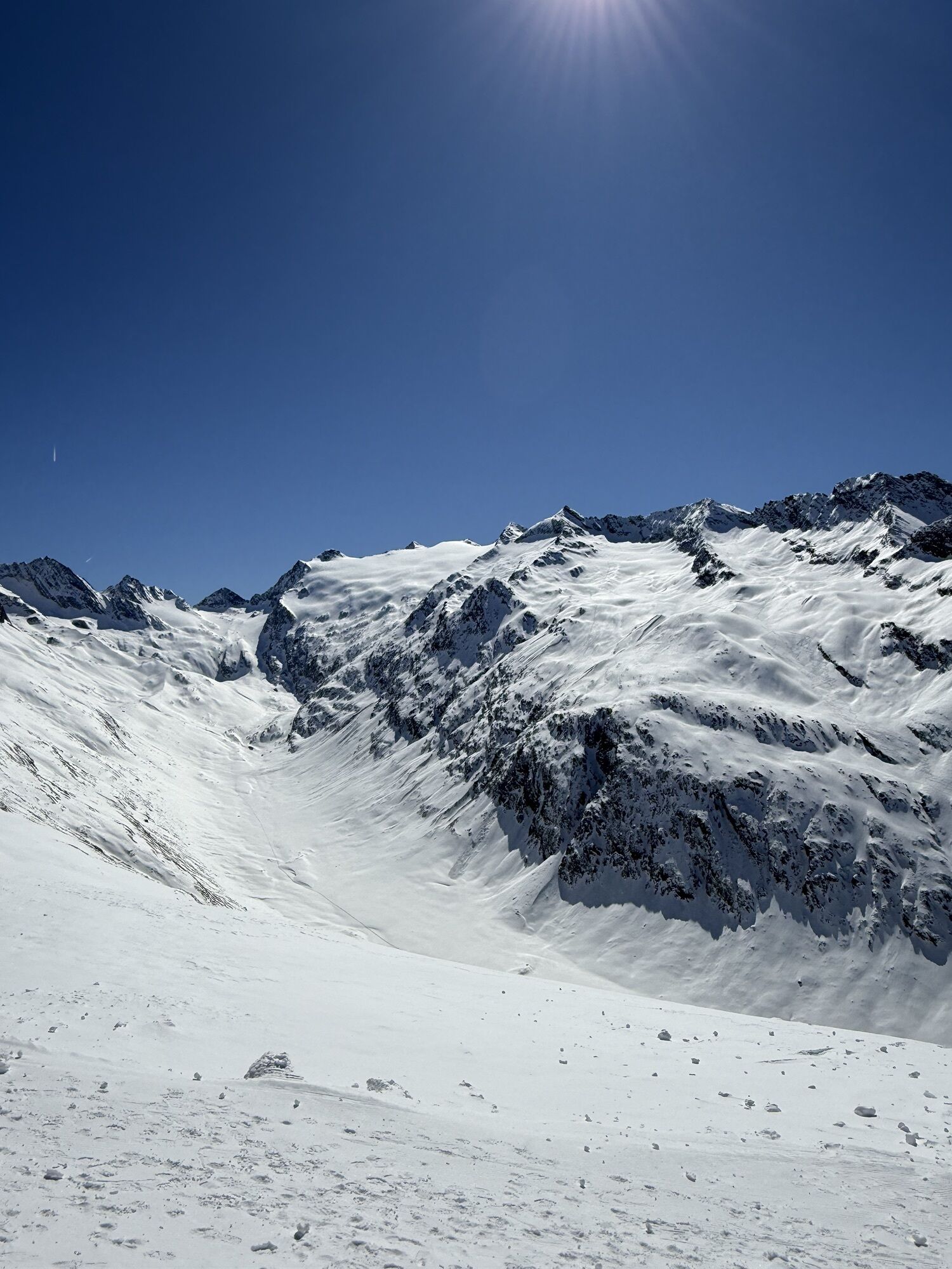
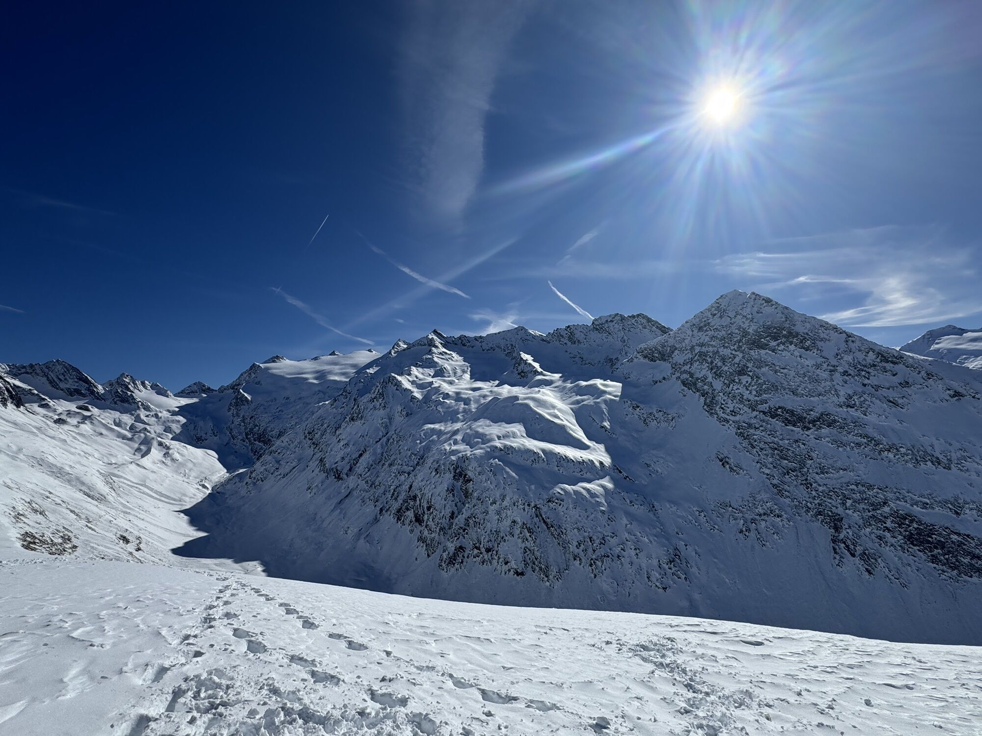
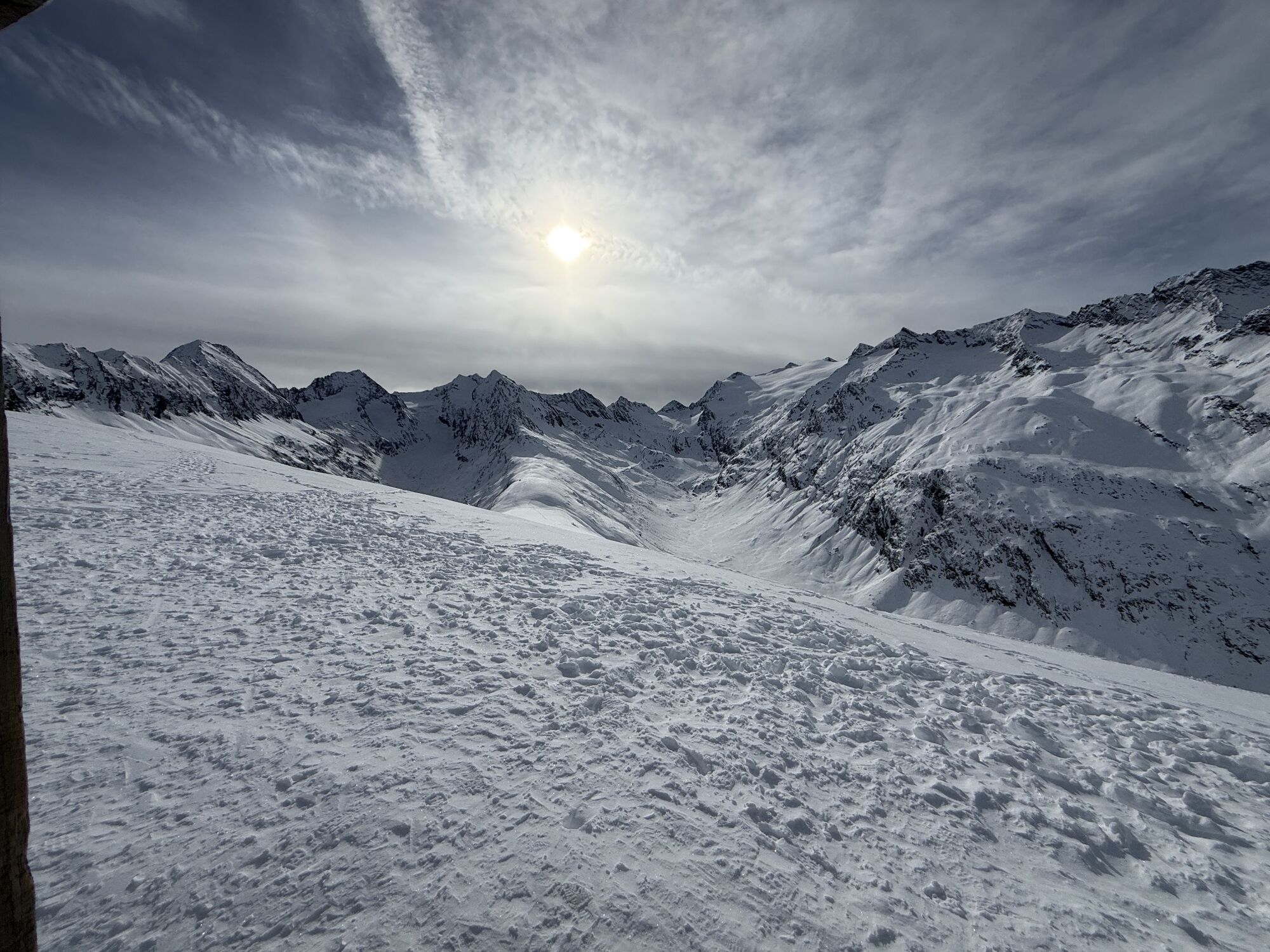
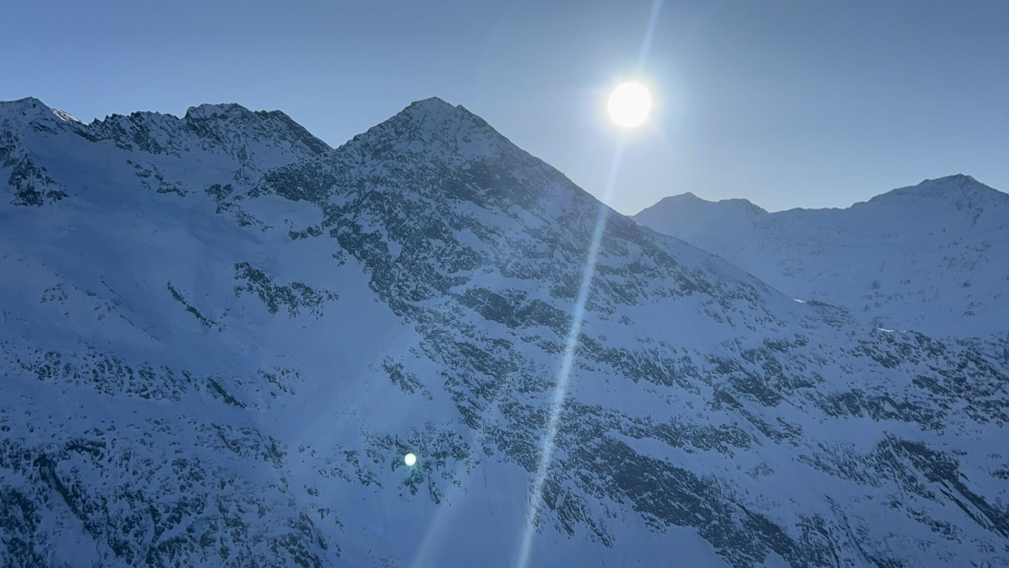
An exhausting mountain run with breathtaking panorama. The start is at just under 2,000m above sea level in the center of Obergurgl. After 4 km, which mostly run on a gravel road and downhill, participants reach the valley station of the Hochgurglbahn and thus the first refreshment station. Upon arrival, the difficult part of the race begins. After another 4km and exhausting 650m of elevation gain, the runners pass the next refreshment station at the valley station Top Schermer 3000. Here it is necessary to gather all strength once again to tackle the last four kilometers of the race. The next section of the mountain run passes jagged rock walls and offers runners the last chance to refresh themselves at a refreshment station. The last 1.5km of the race demand everything from the participants once again. Arriving at the finish at over 3,000m, the Top Mountain Star awaits as a spectacular highlight and a unique backdrop.
Alpine emergency call: 140
Safe on the way!
Download the emergency app of the mountain rescue in advance. If you need help, you can transmit your exact coordinates via the app.
EMERGENCY APP for download:
Android: https://play.google.com/store/apps/details?id=at.tirol_notfall&hl=de
iPhone: https://apps.apple.com/at/app/sos-eu-alp/id400099520
Arrival by car leads through the Inntal to the valley entrance and further along the Ötztal. In addition to the toll motorway, country roads can also be used. The route planner lets you quickly and conveniently determine your journey. Route planner: https://www.google.at/maps
In Gurgl the following parking options are available:
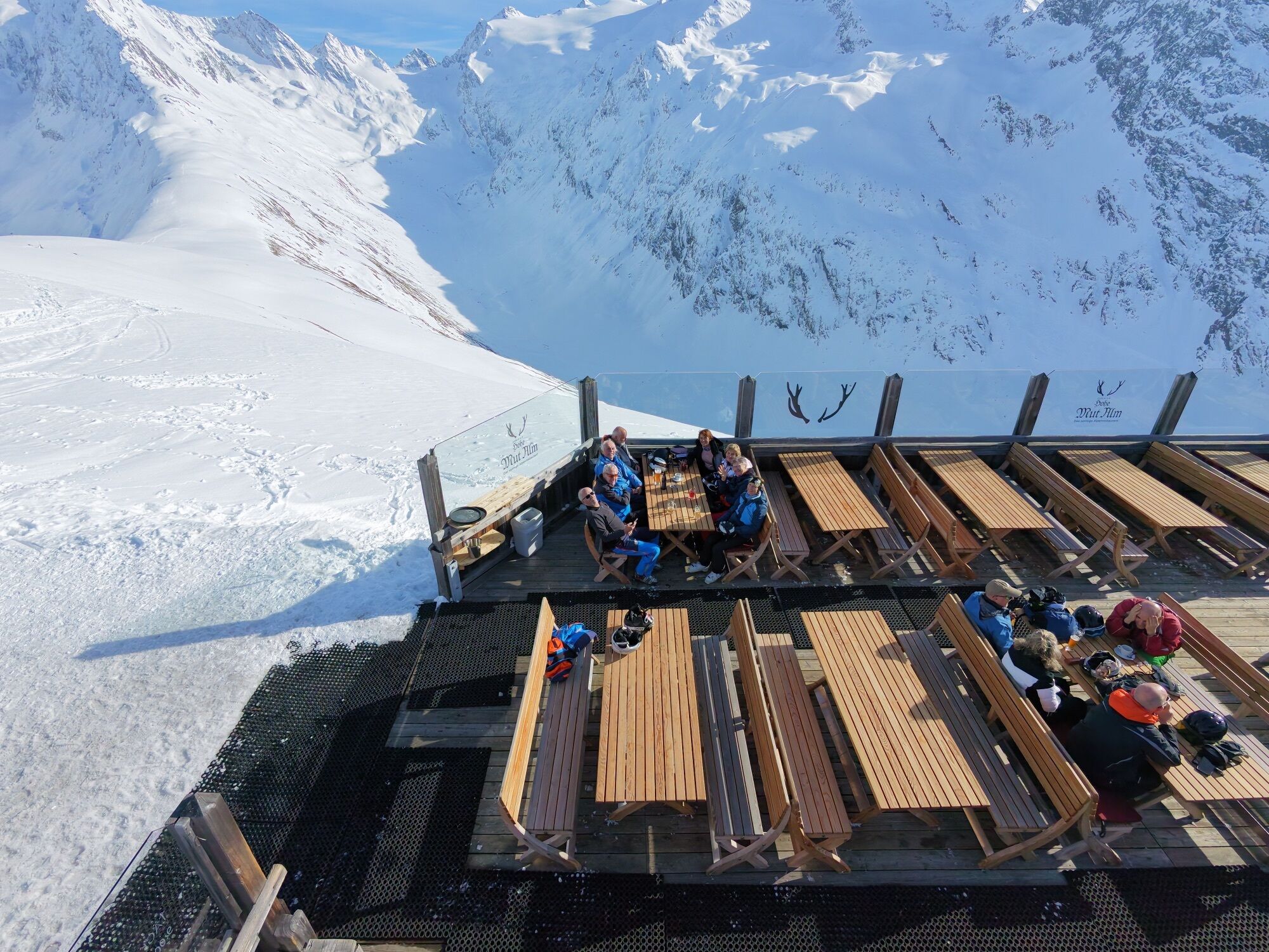
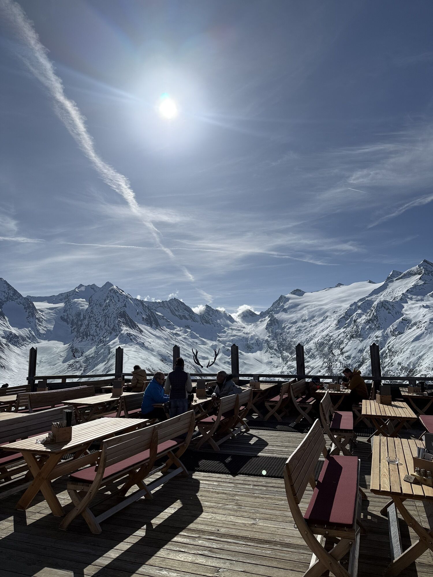
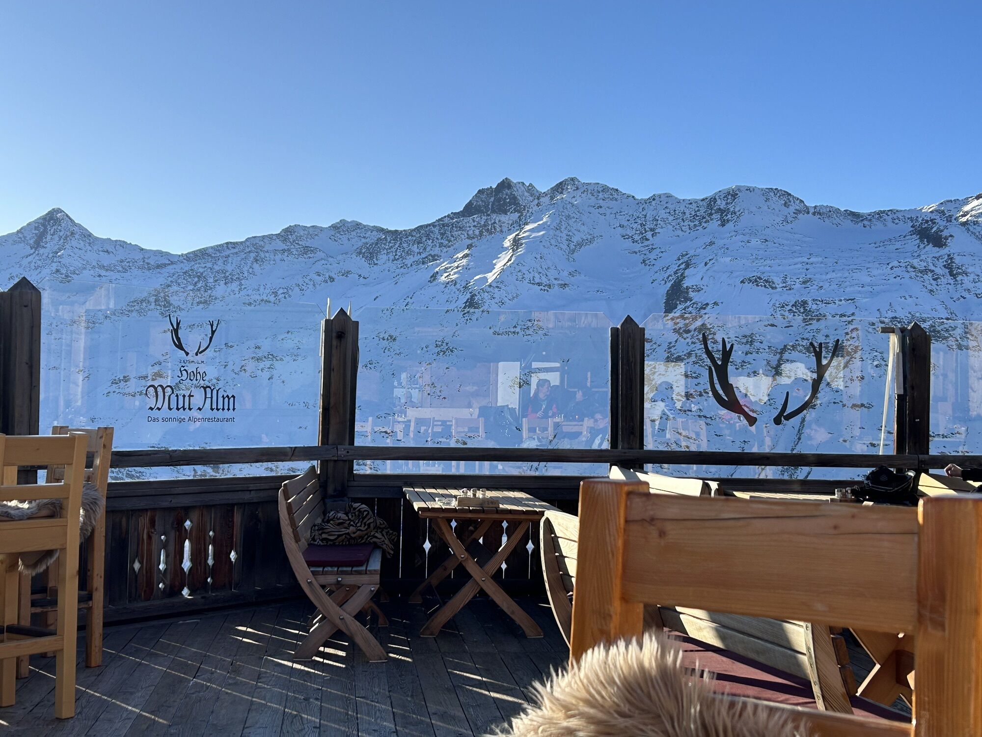
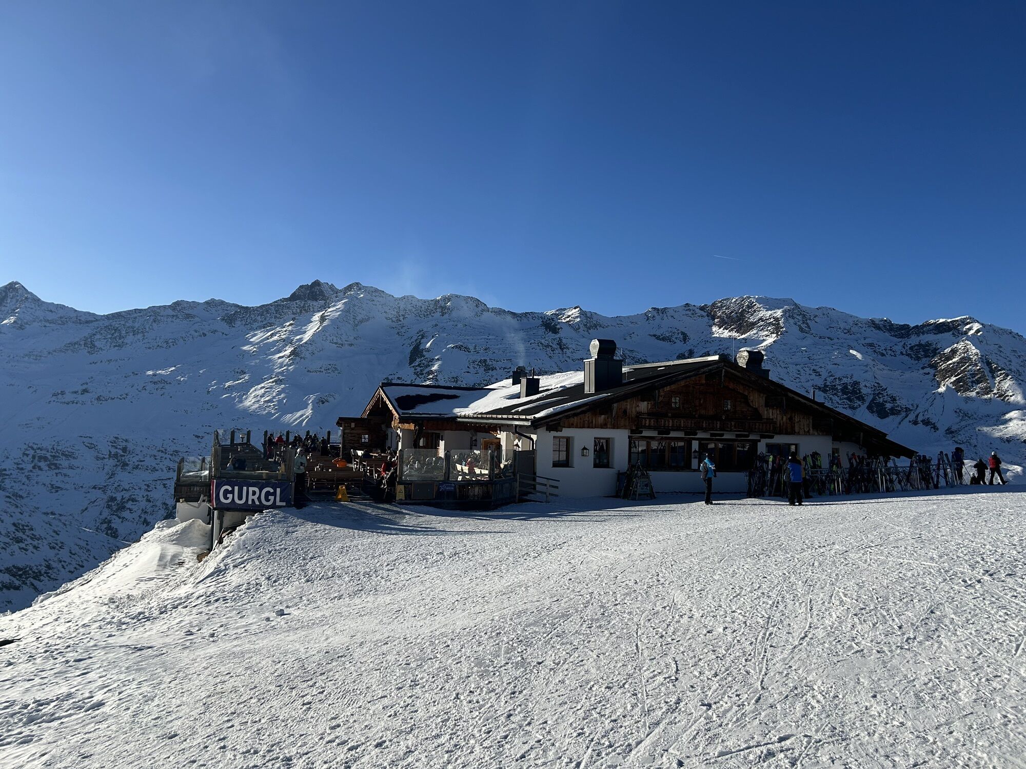
Parking garage village center Obergurgl (right down in front of the church), paid | € 2.00 per hour Parking garage village entrance – valley station Festkoglbahn, paid | € 6.00 per day Parking lot Hochgurglbahn valley station, free – no overnight parking Parking lot Top Mountain Crosspoint, free Parking lot Hochgurgl, free (very small parking lot)After the route we recommend a stop at Hohe Mut Alm.
 Uzyskaj wgląd
Zawsze na żywo z ponad 9 500 kamer internetowych. bergfex Jako użytkownik Pro, możesz teraz zobaczyć odpowiednie kamery internetowe dla wielu wycieczek w aplikacji wycieczki od. Pozwala to na bezpośredni podgląd aktualnych warunków.
Uzyskaj wgląd
Zawsze na żywo z ponad 9 500 kamer internetowych. bergfex Jako użytkownik Pro, możesz teraz zobaczyć odpowiednie kamery internetowe dla wielu wycieczek w aplikacji wycieczki od. Pozwala to na bezpośredni podgląd aktualnych warunków.
Aktywności na trasie
-

Sölden, Tirol/Österreich
22.07.2026 – Wędrówka -

Sölden, Tyrol/Austria
20.07.2026 – Wędrówka -

Sölden, Tirol/Österreich
17.07.2026 – Wycieczki górskie -
Sölden, Autriche
29.03.2026 – Narciarstwo -

Hohe Mut -> Obergurgl, Tirol/Österreich
06.08.2025 – Wędrówka -

Sölden, Tirol/Österreich
06.01.2025 – Wycieczki górskie
Popularne wycieczki w okolicy
-
4,7
Vent - Kreuzspitze
Wędrówka 20,6 km -
4,2
Vorderkaser - Eishof / Texelgruppe
światłoWędrówka 4,83 km -
4,5
Vent - Wilder Mann - Breslauer Hütte - Stableinalm
średniWędrówka 7,25 km -
4,6
Passerschlucht
światłoWędrówka 8,84 km -
4,4
Passerschlucht mit Stieber Wasserfällen, Trentino-Südtirol/Italien
średniWędrówka 9,49 km -
3,8
Breslauer Hut
średniWędrówka 4,75 km -
4,4
Hochtour Wildspitze, 3.768m
średniWycieczka wysokogórska 9,75 km -
4,6
Hochwilde - Pfelders
średniWycieczka wysokogórska 22,1 km -
3,4
Tiefenbachglacier - Mountaineering Village Vent
średniWędrówka 10,8 km -
4,9
Pfossental - vom Vorderkaser auf die Stettinerhütte
średniWędrówka 23,7 km
Wędrówki i tropienie


Nie przegap ofert i inspiracji na następne wakacje
Twój adres e-mail została dodana do listy mailingowej.





