







Stuiben Sprint

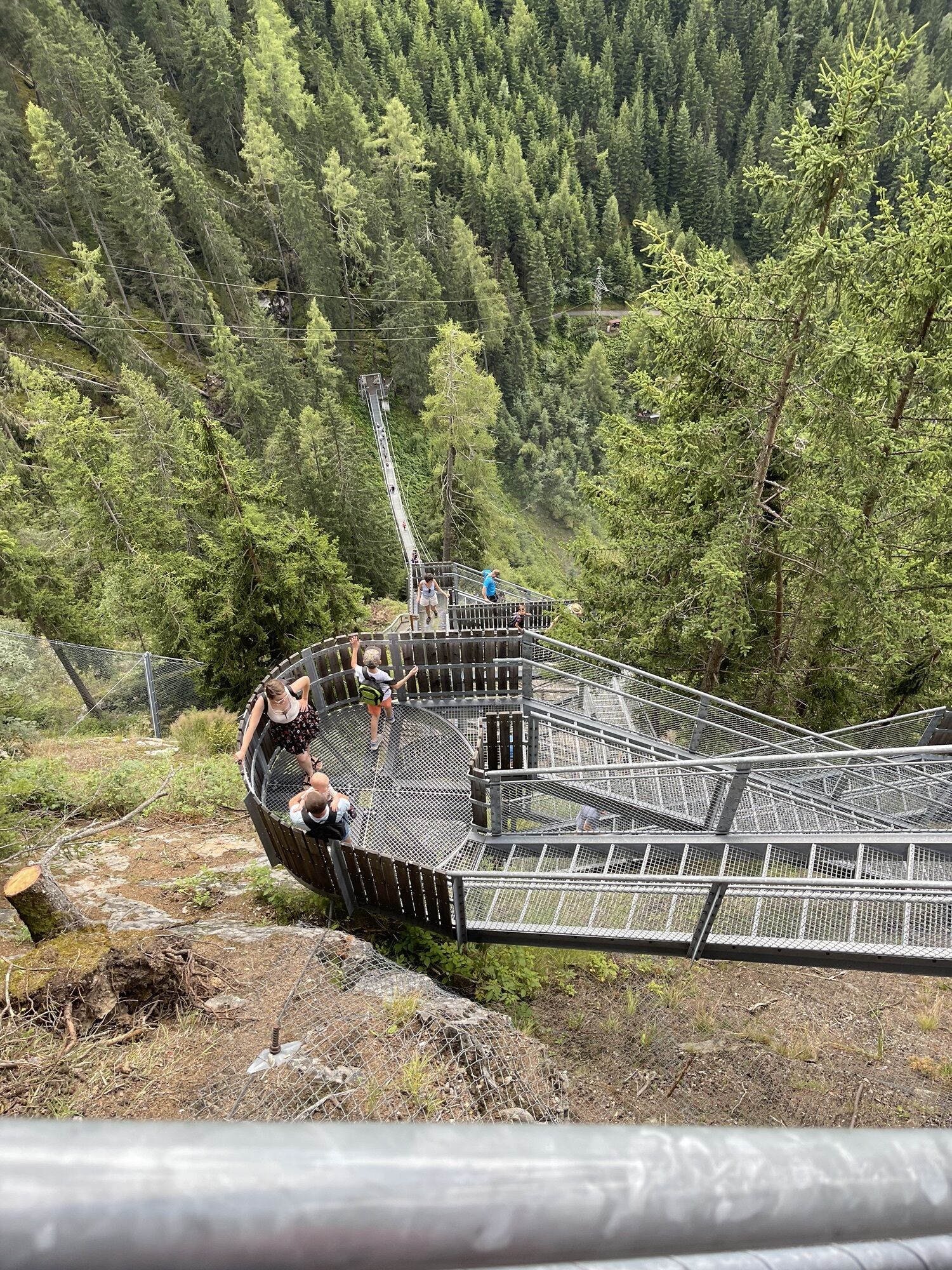
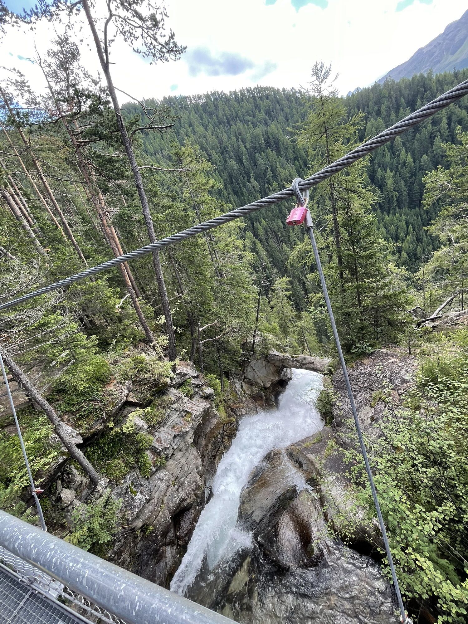
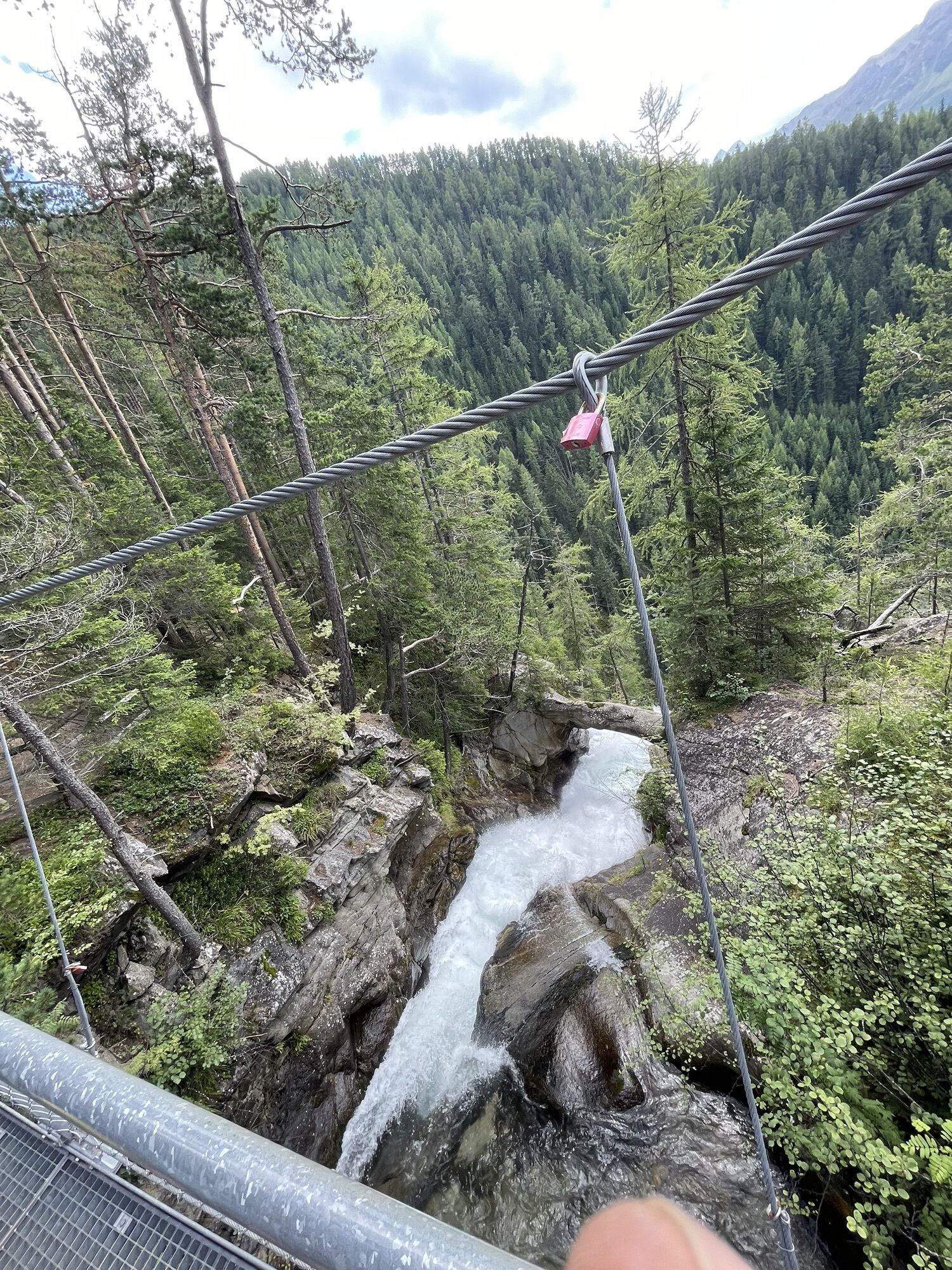
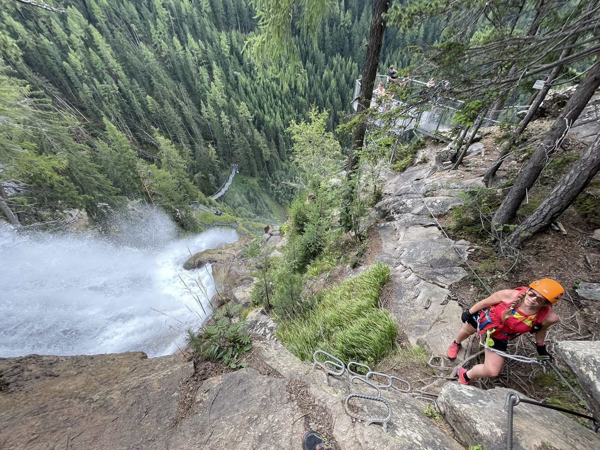
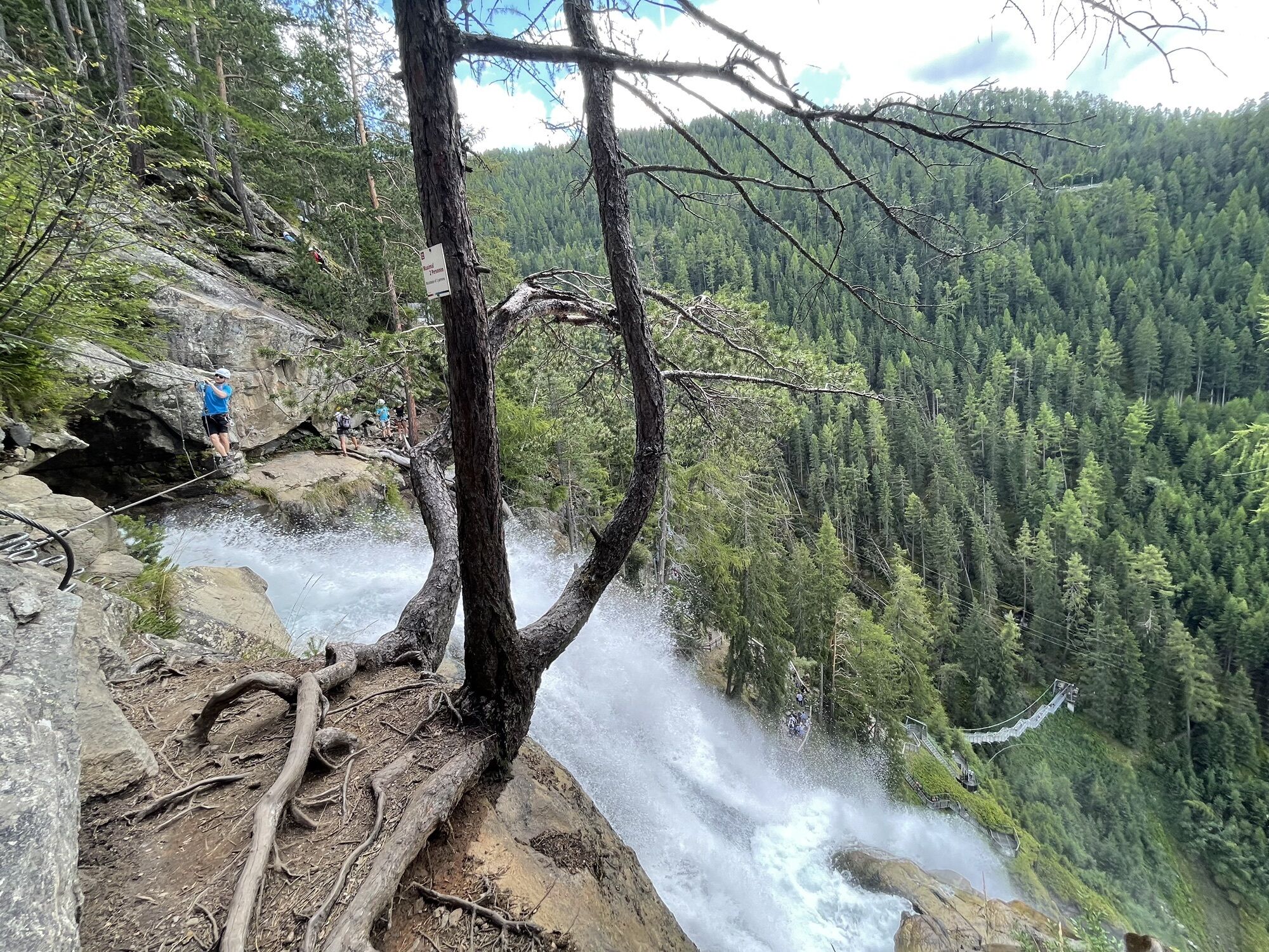
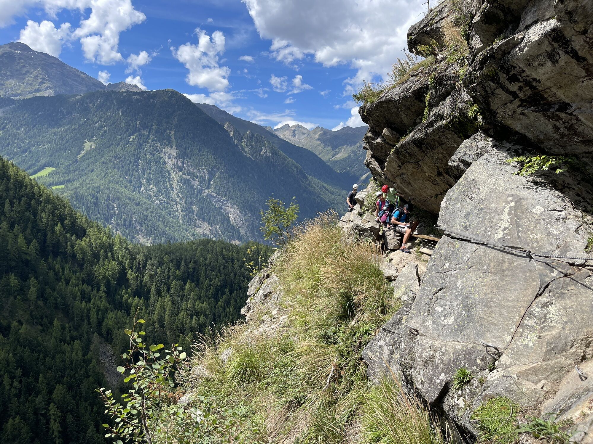
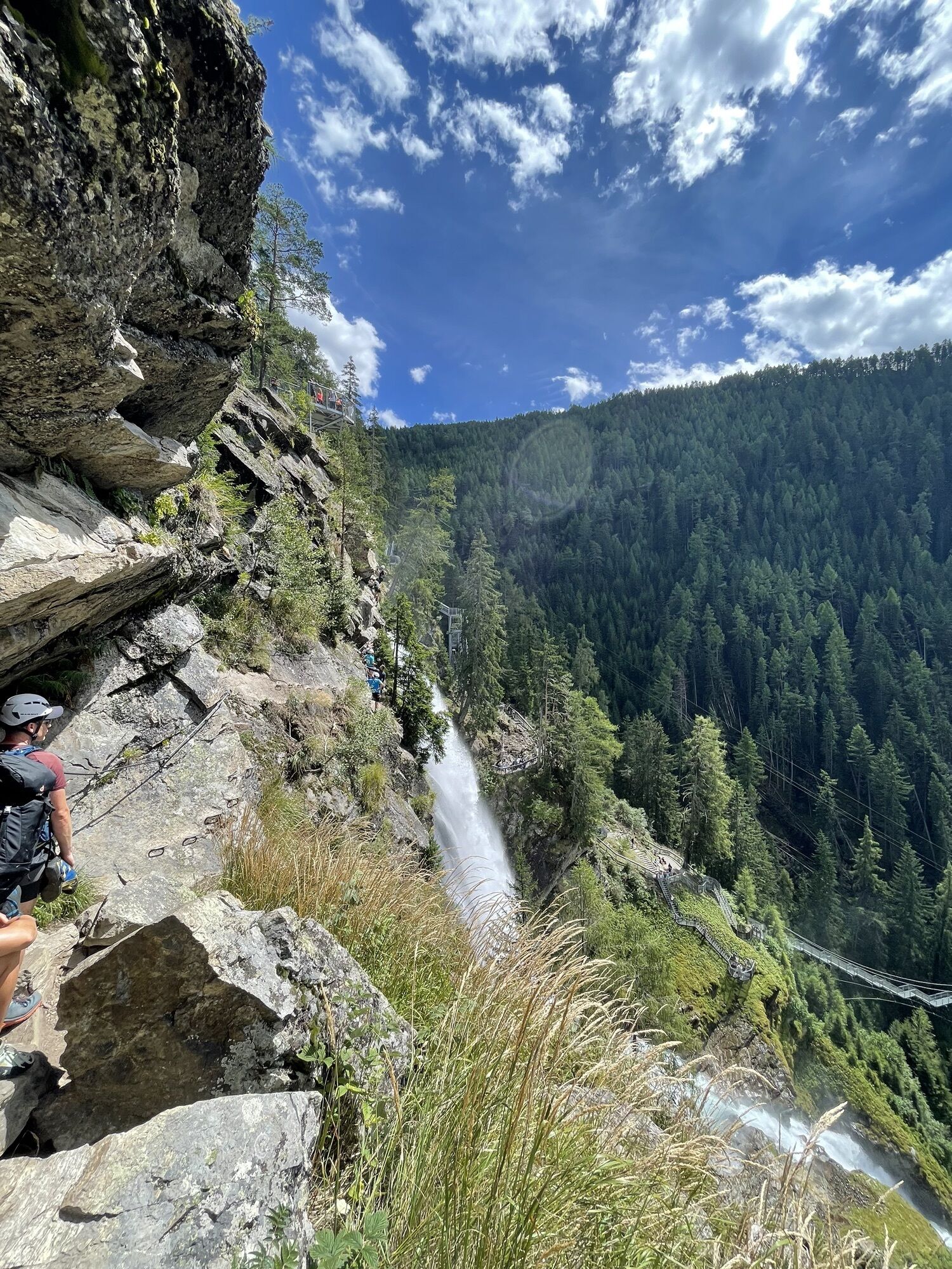
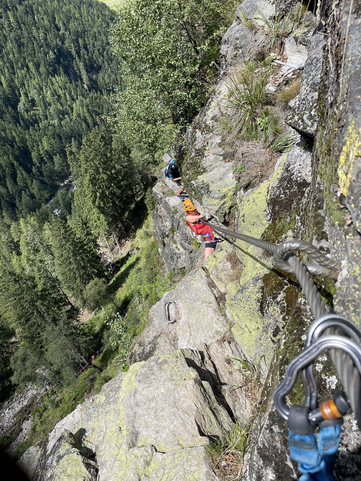
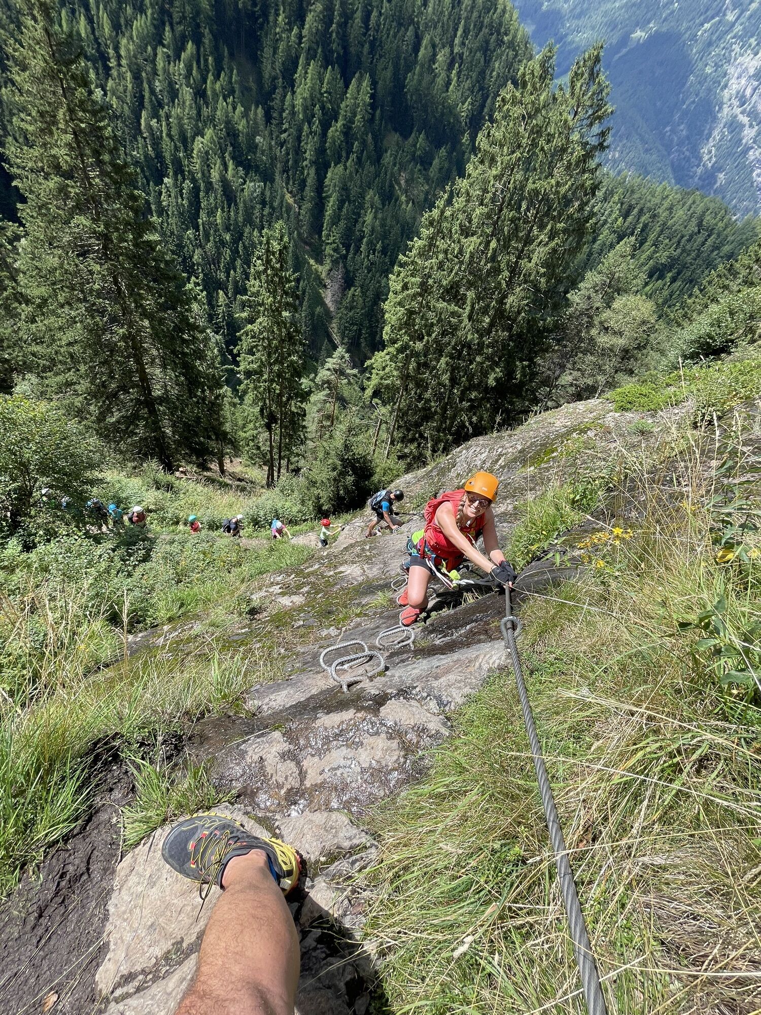
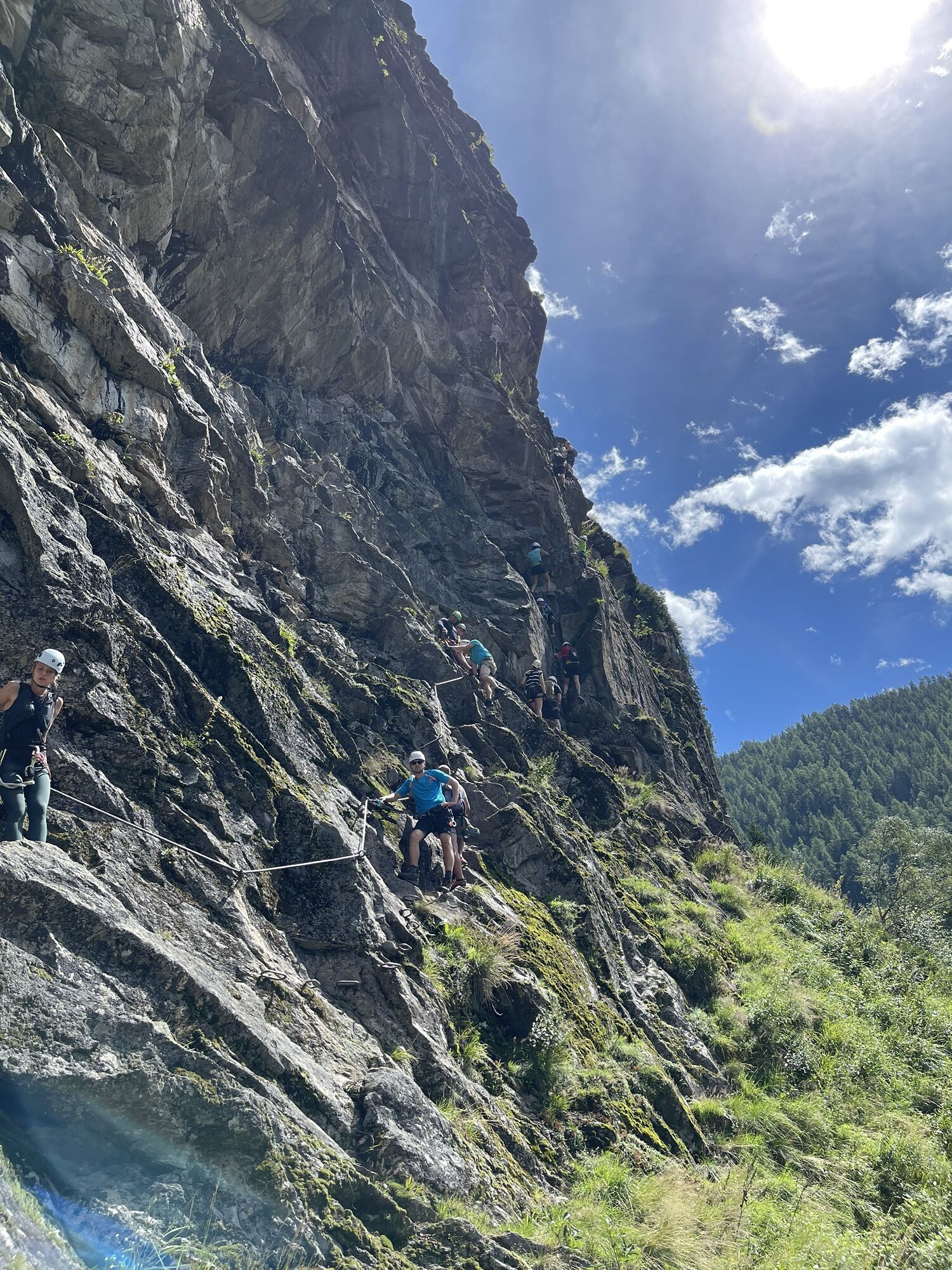
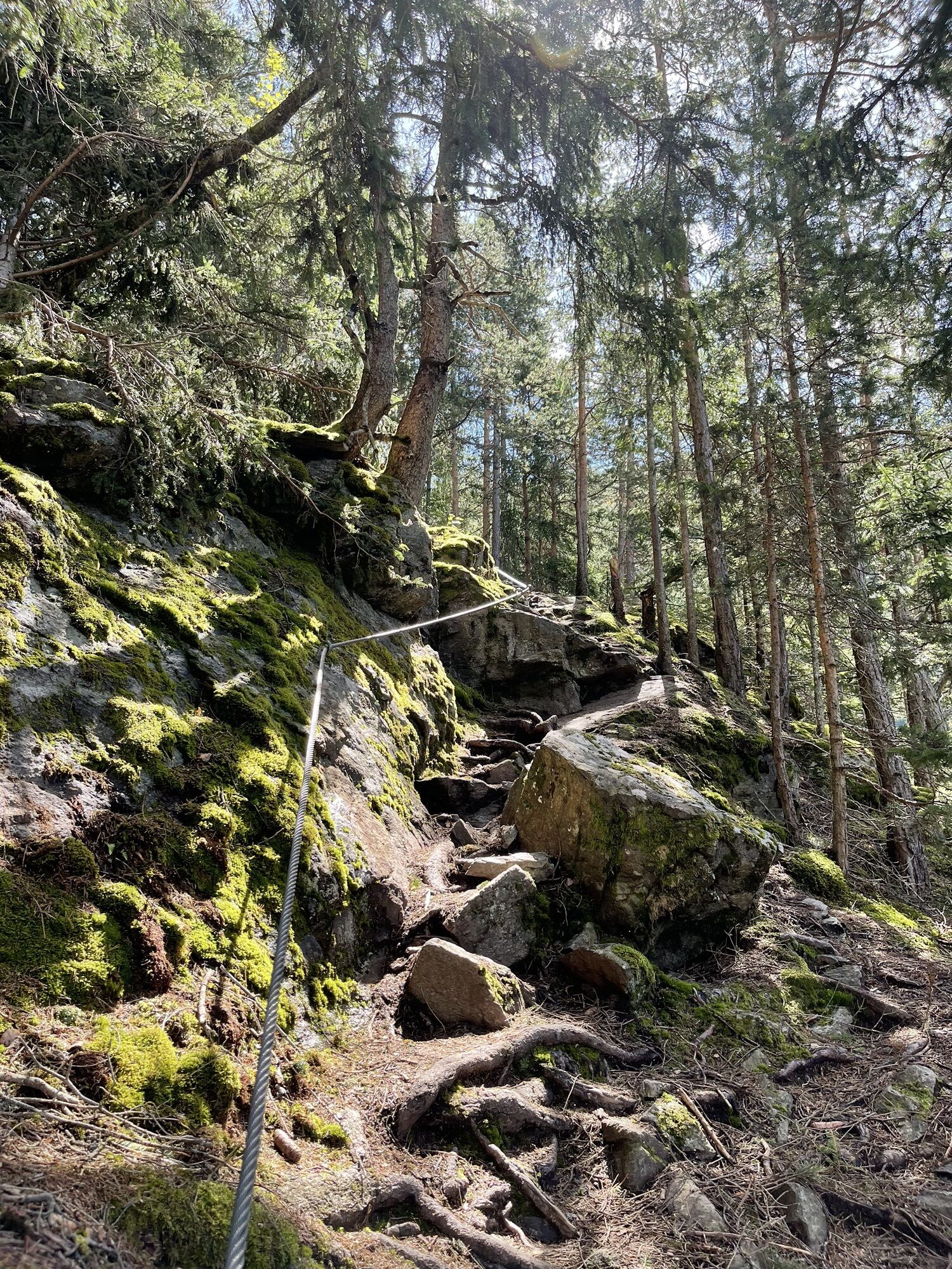
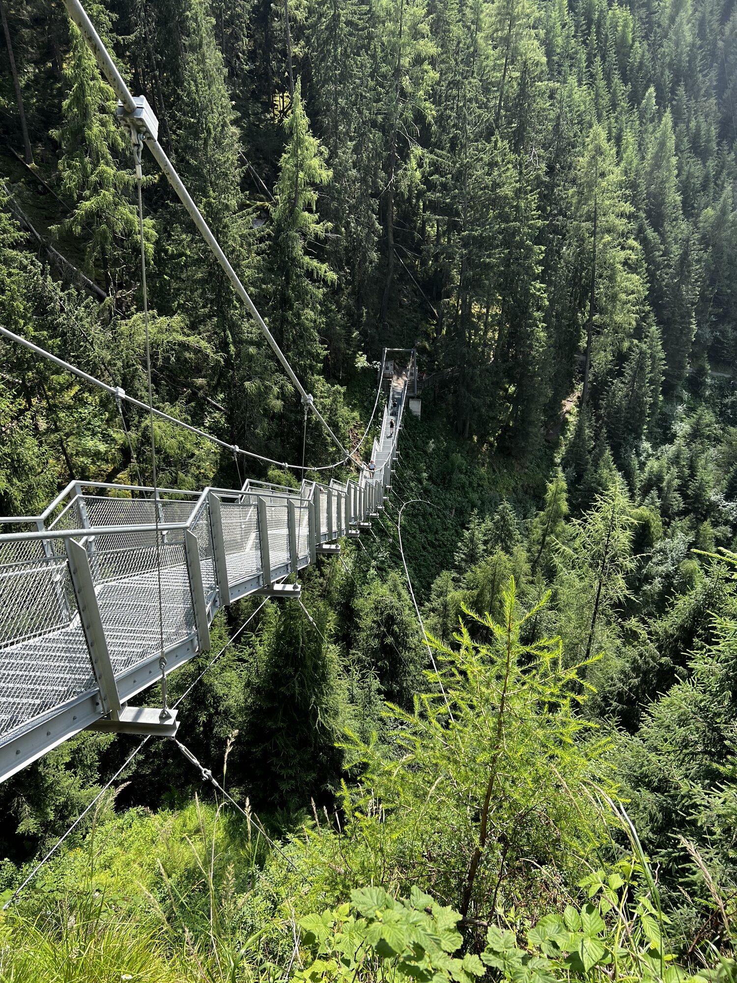
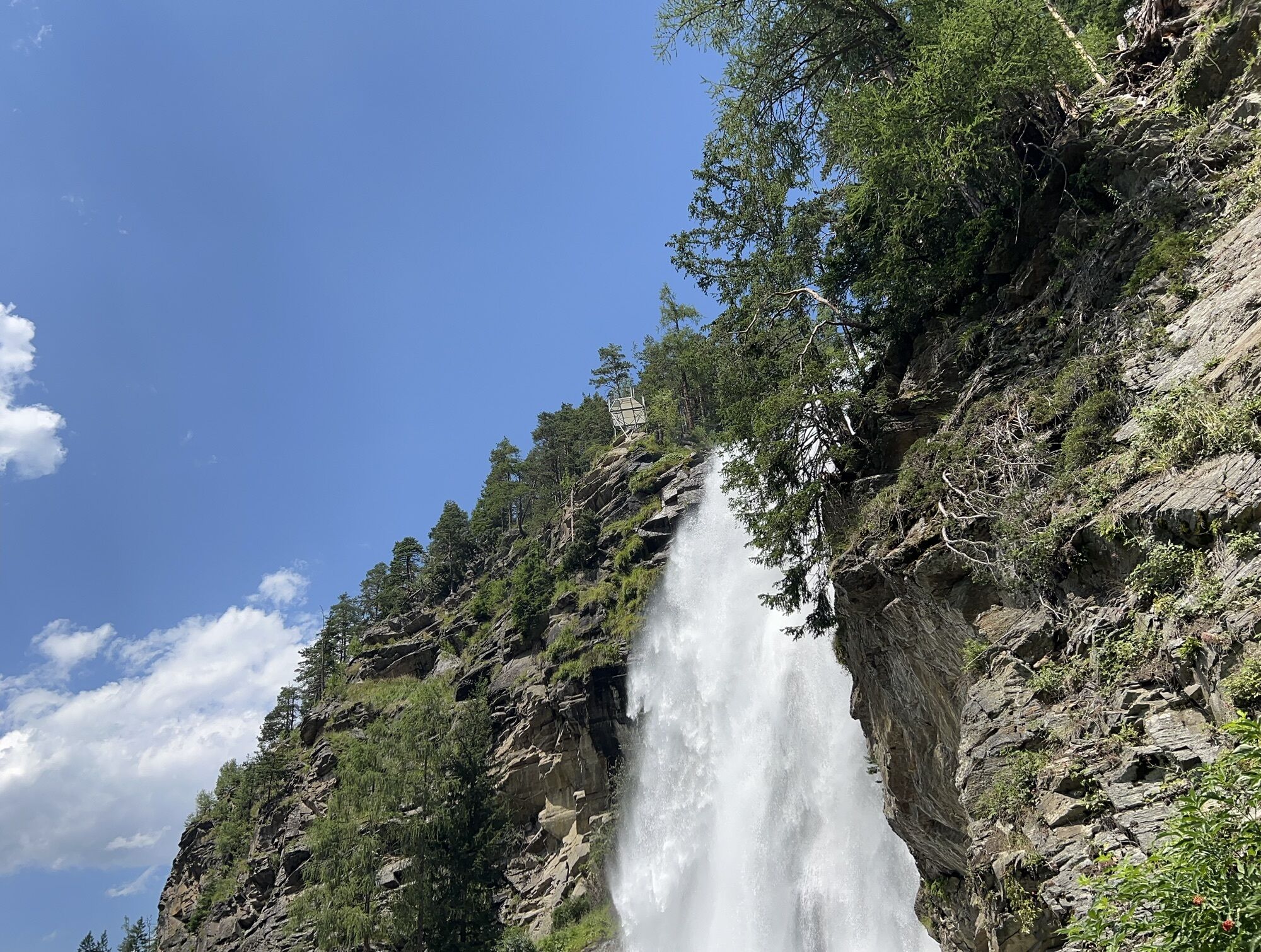
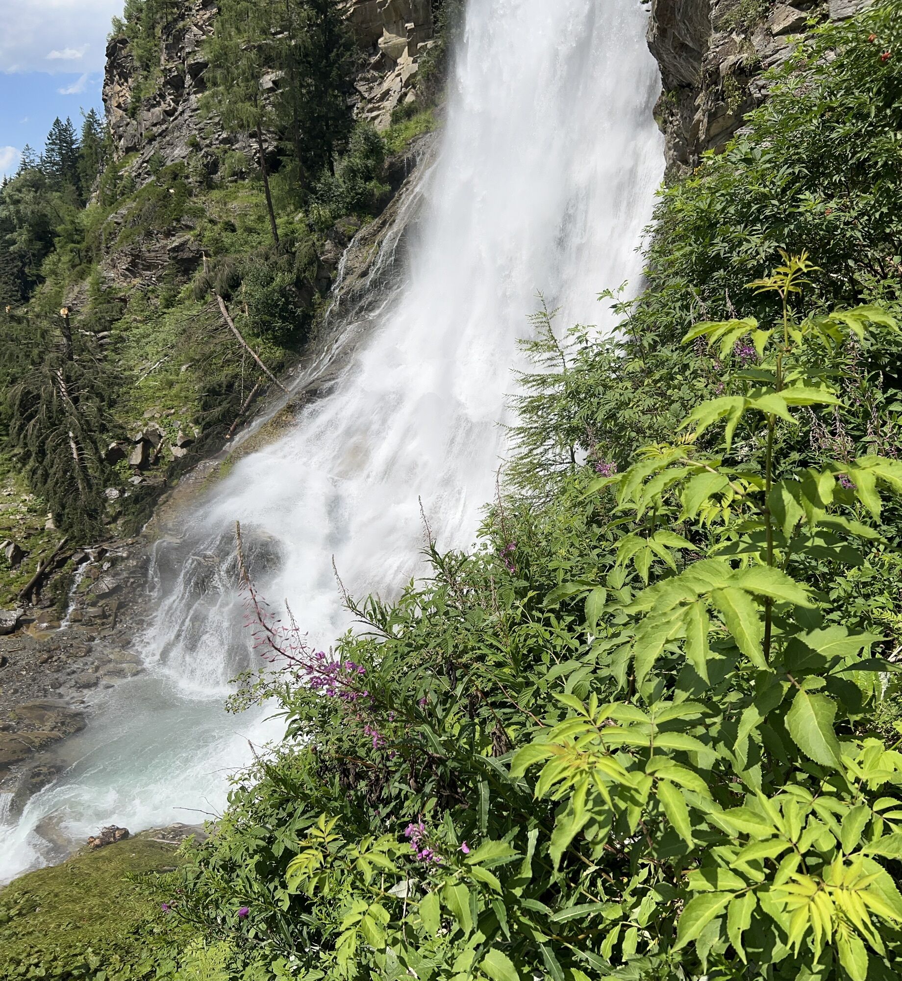
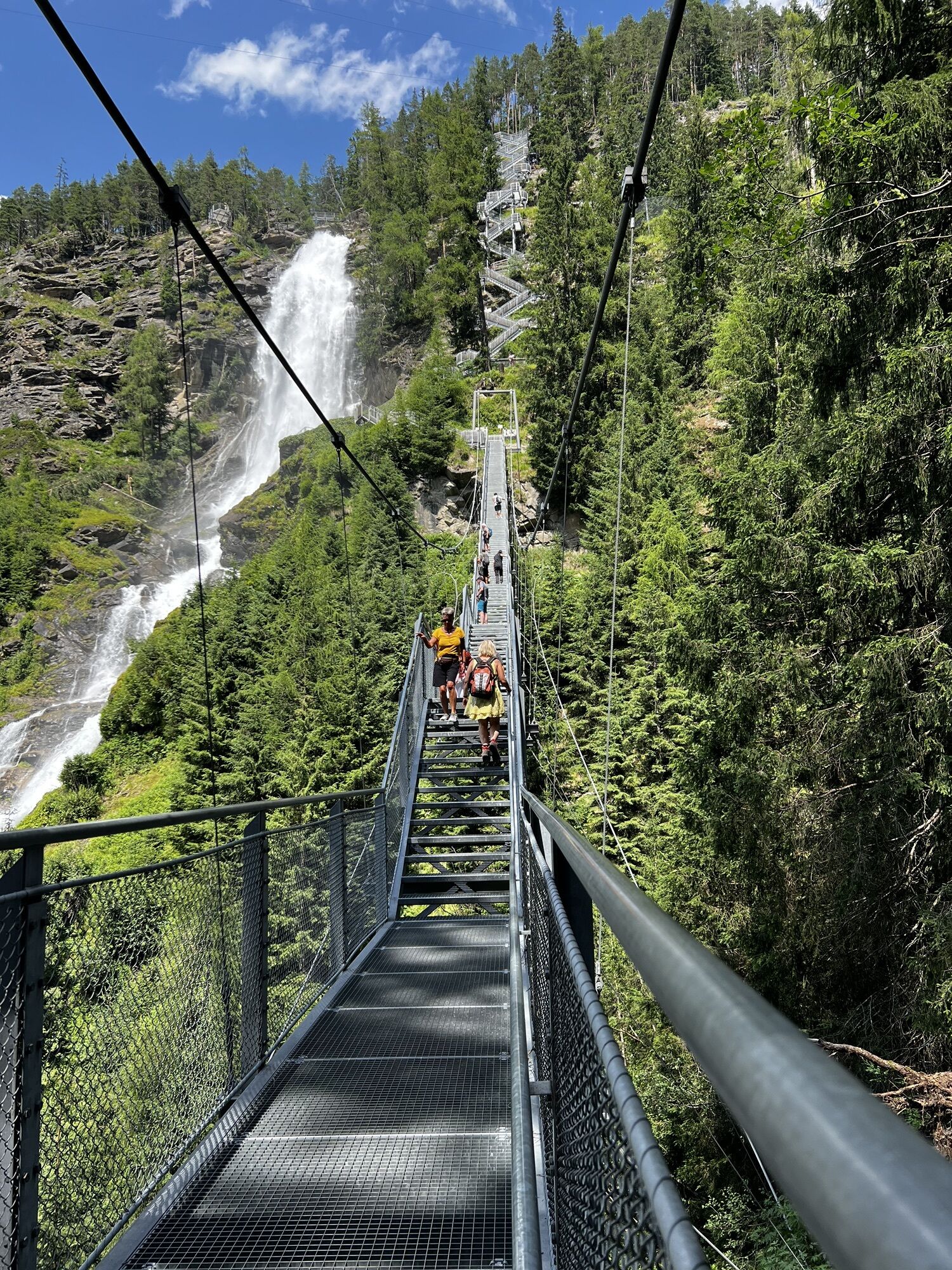
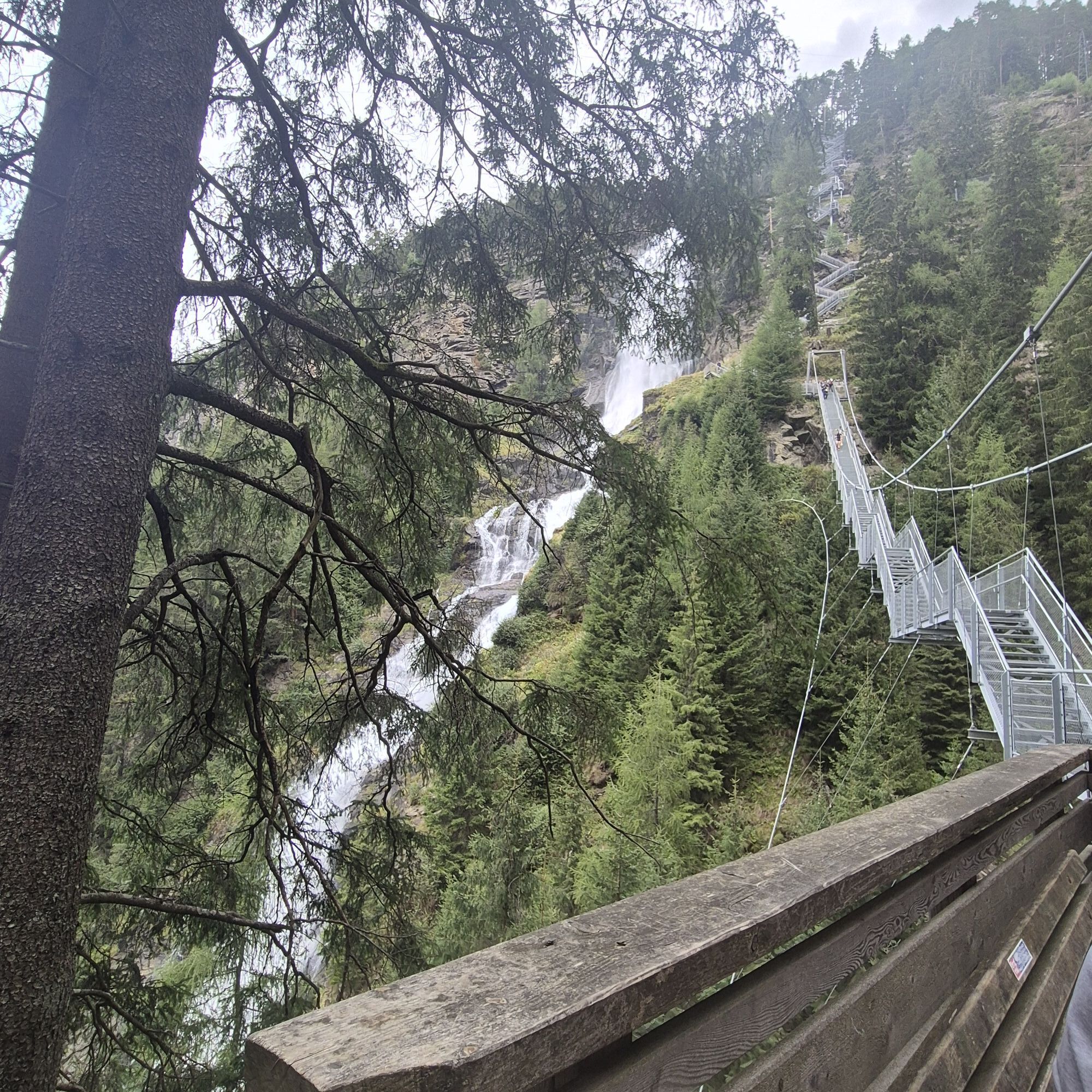
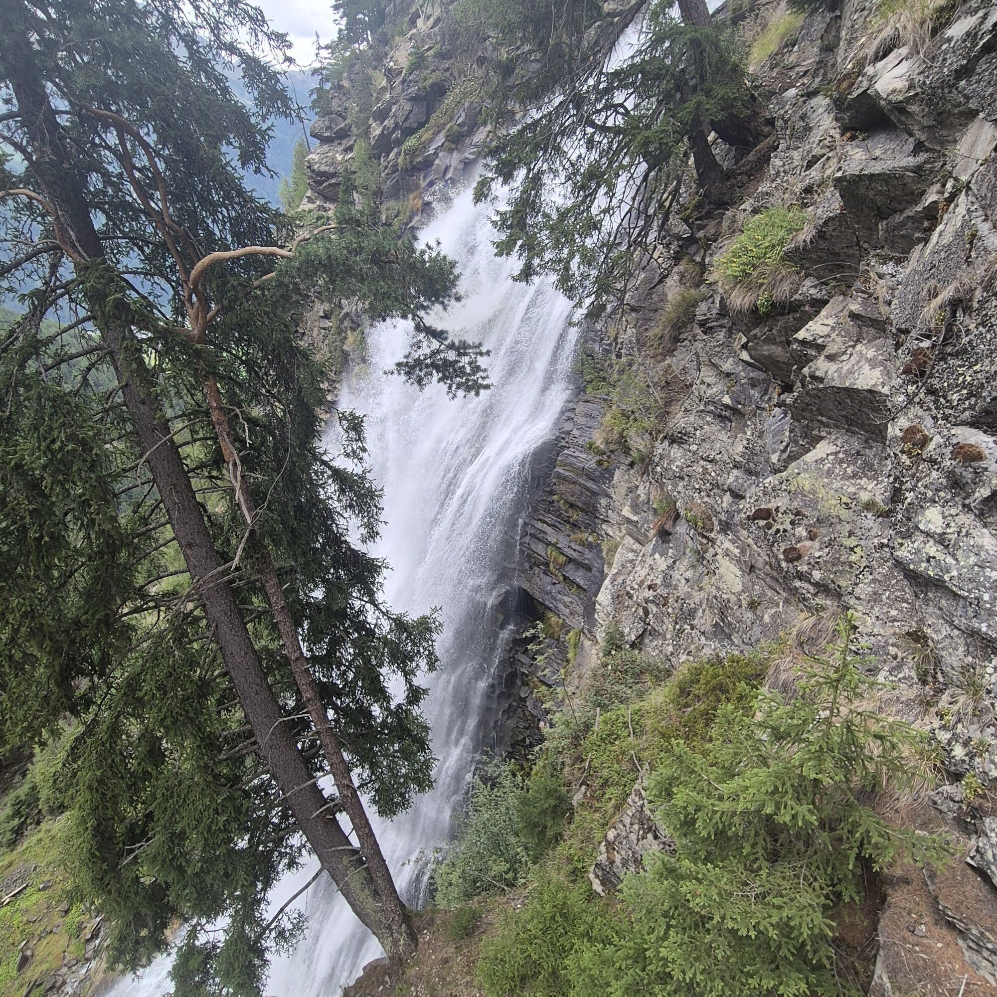
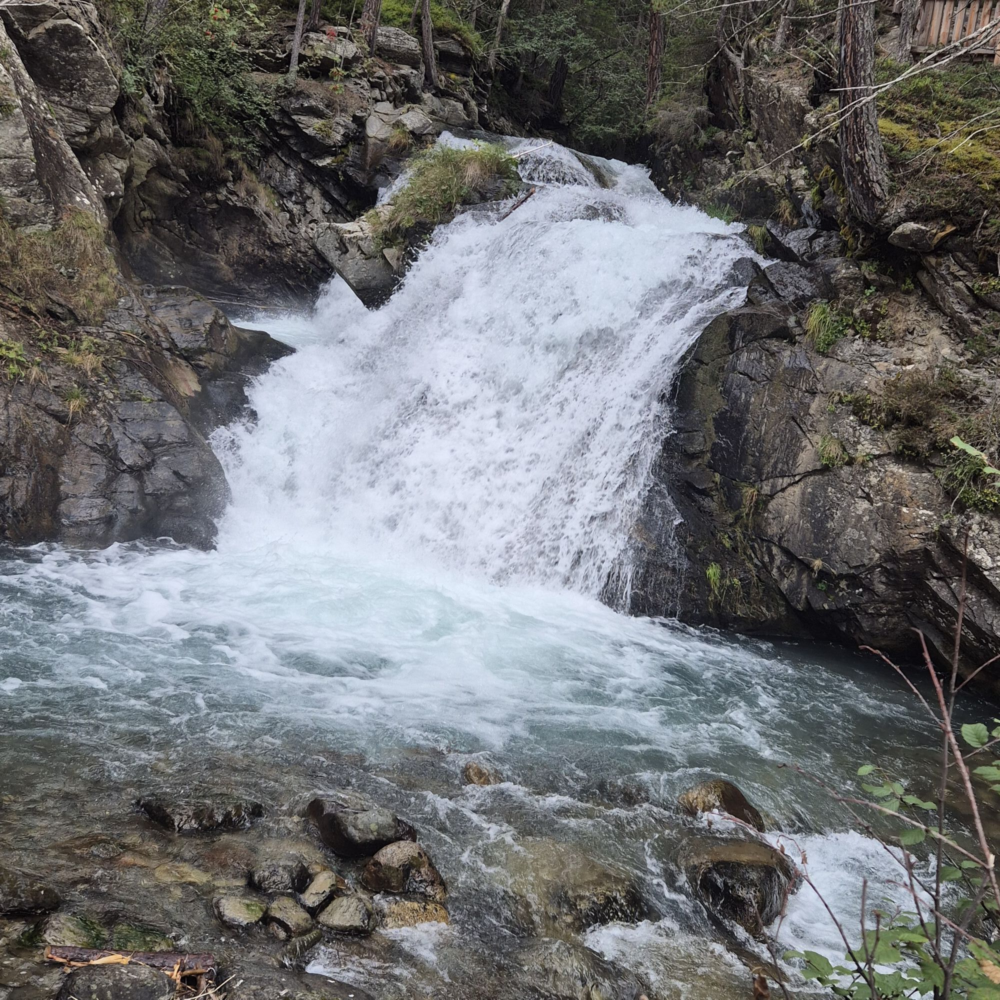
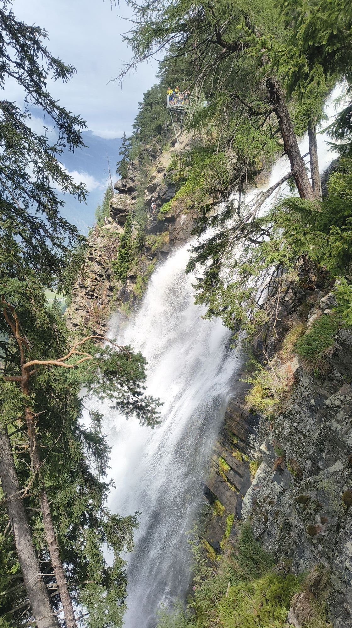
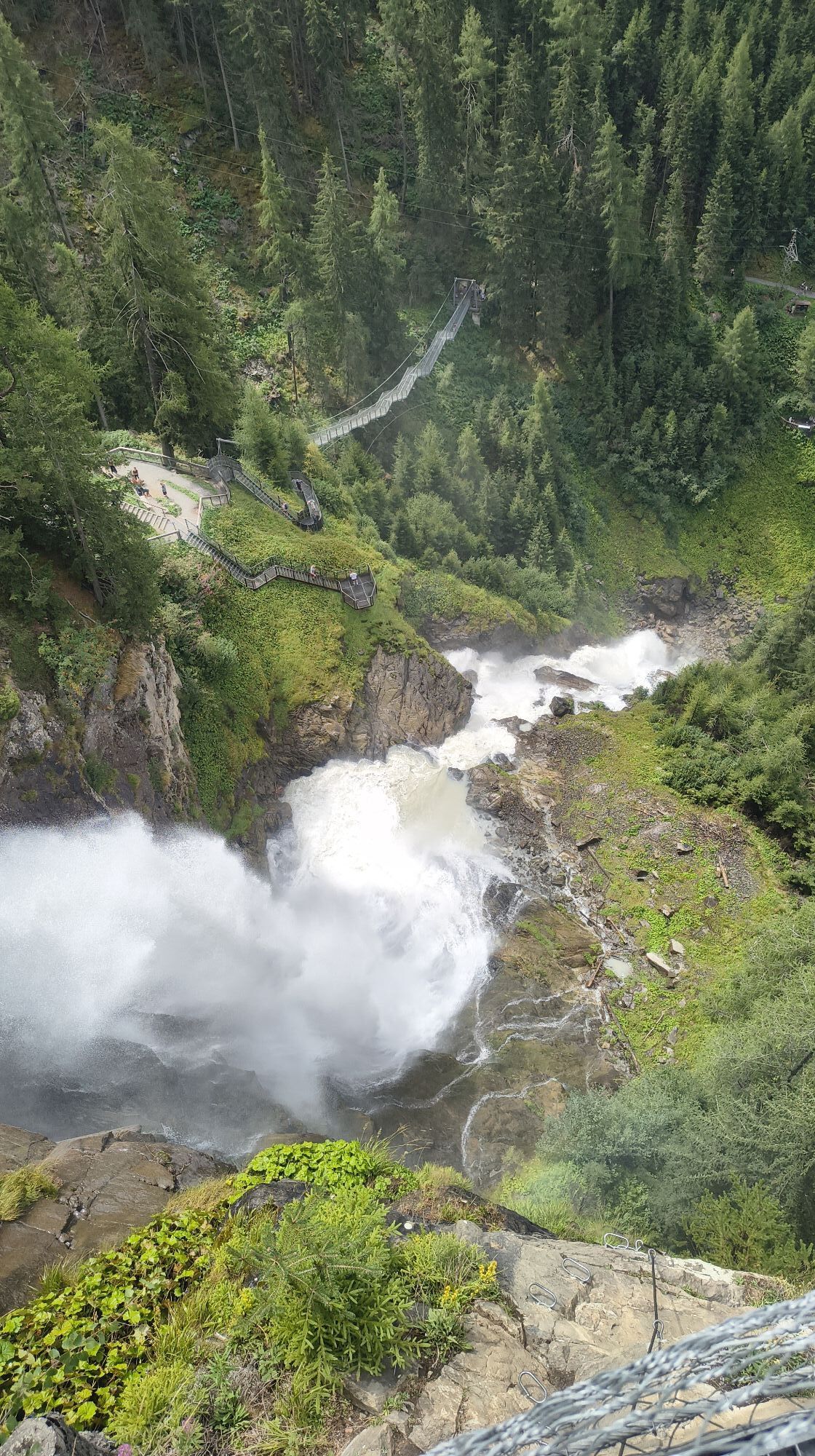
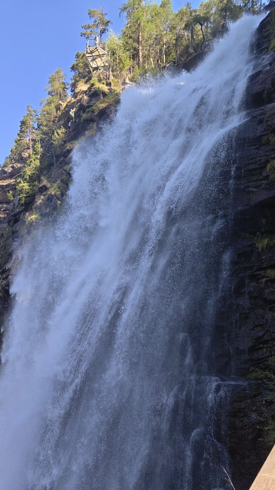
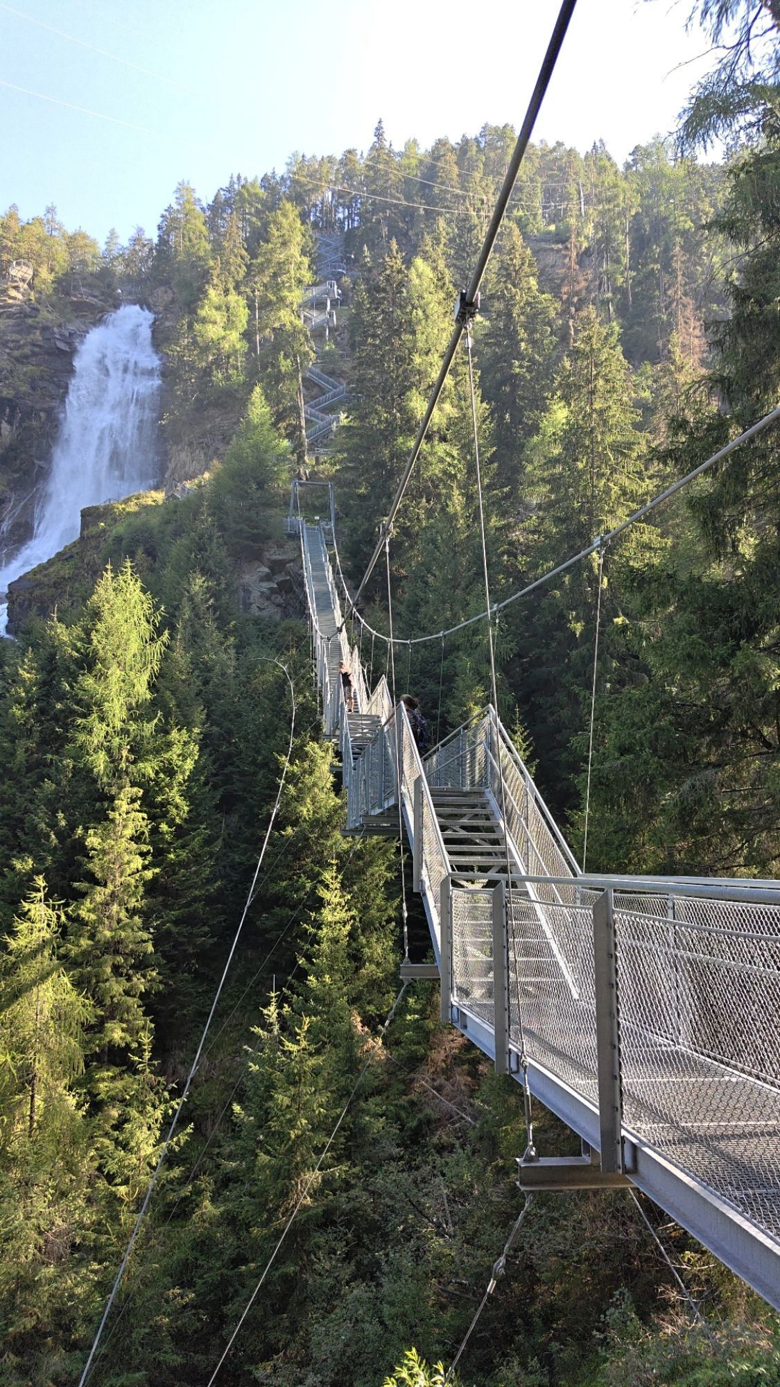
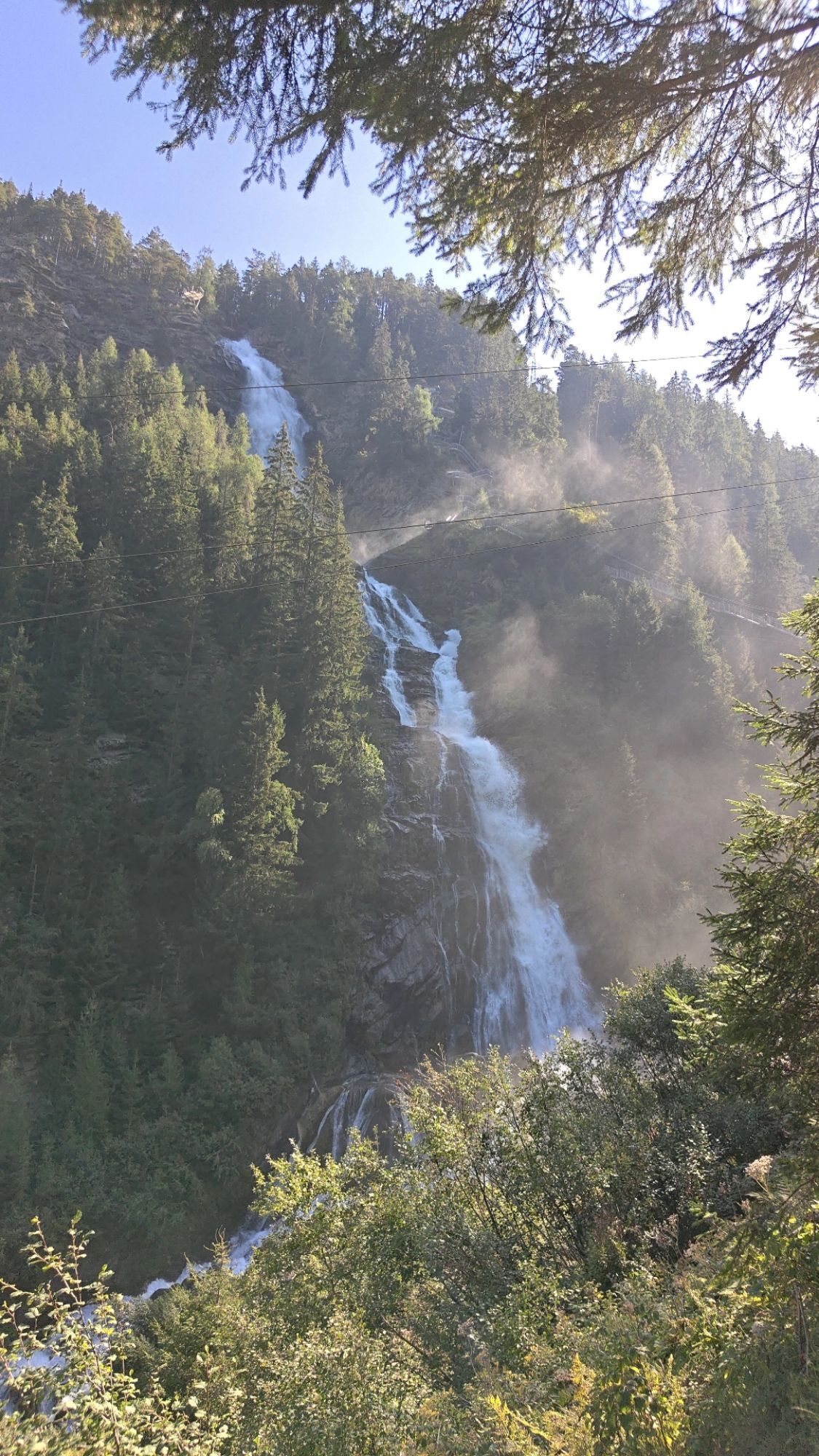
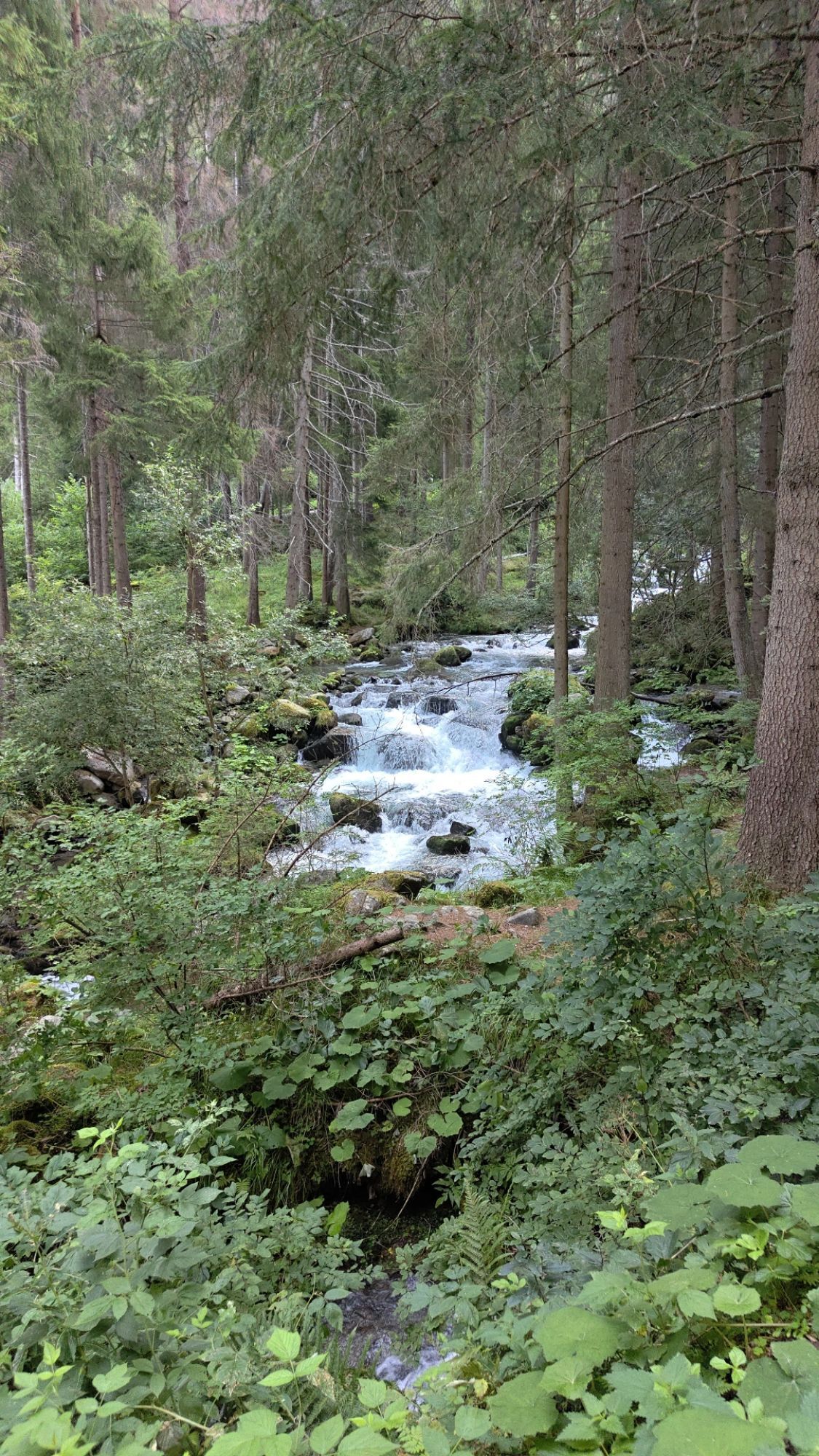
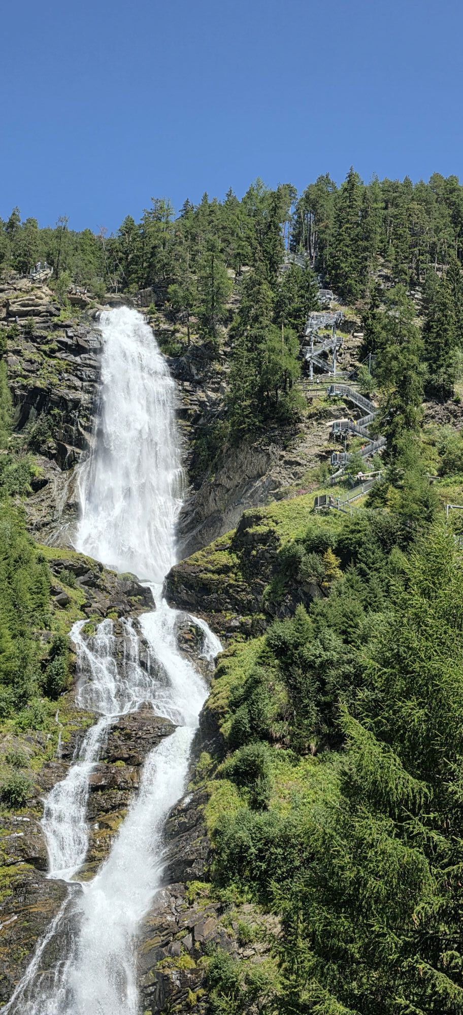
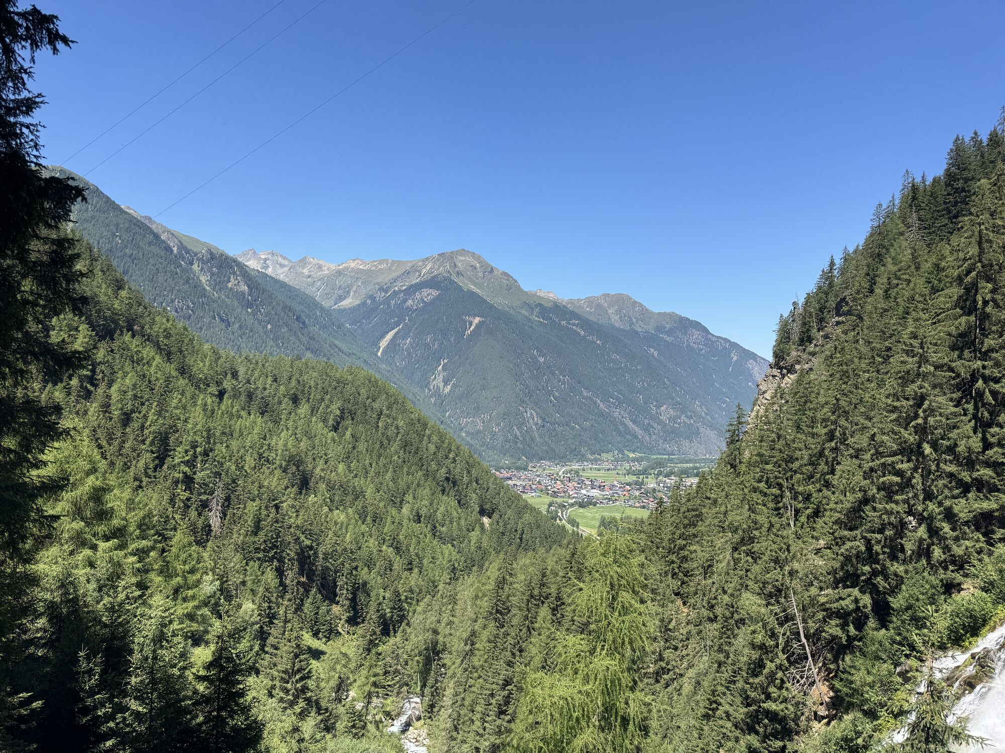
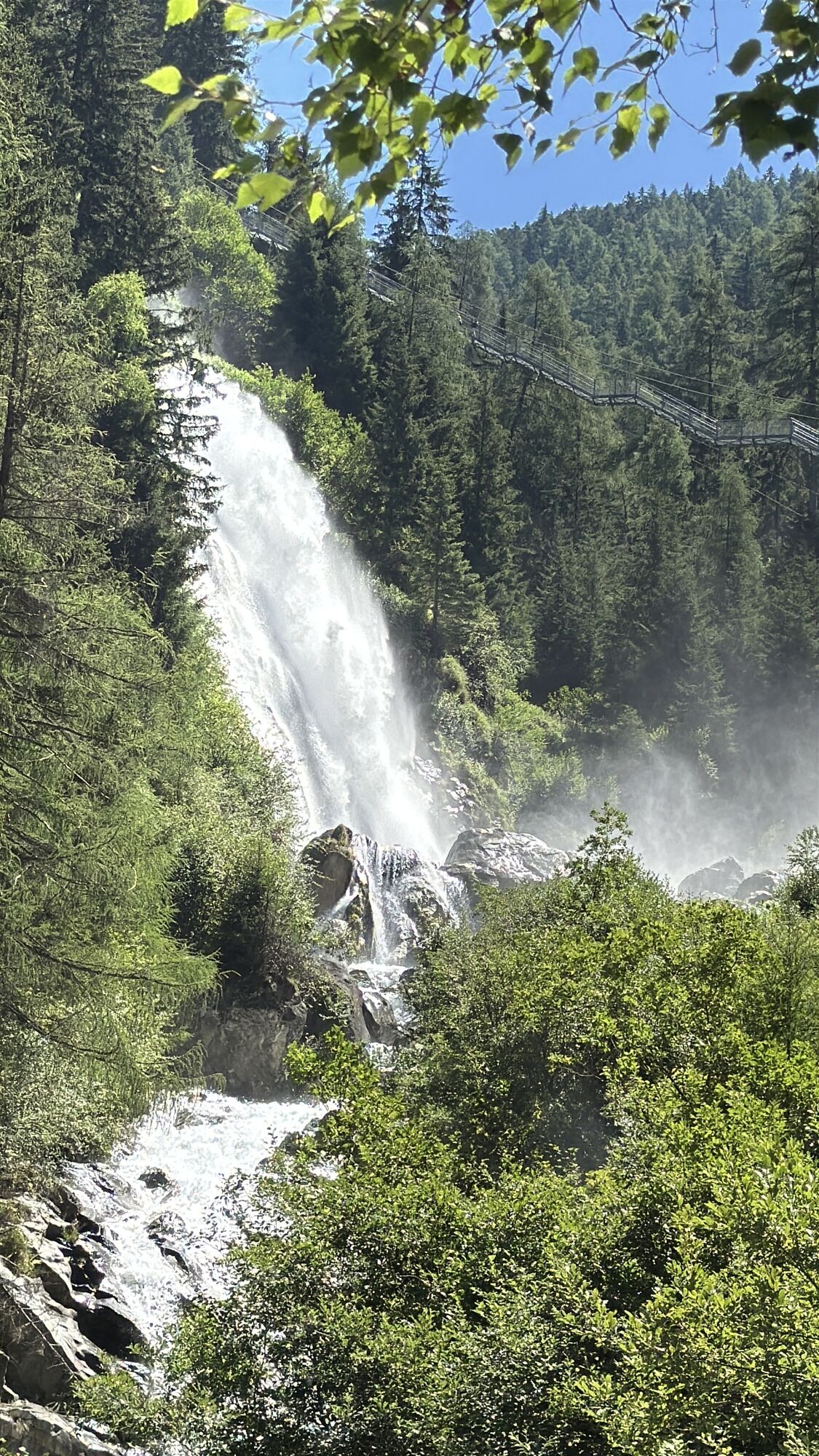
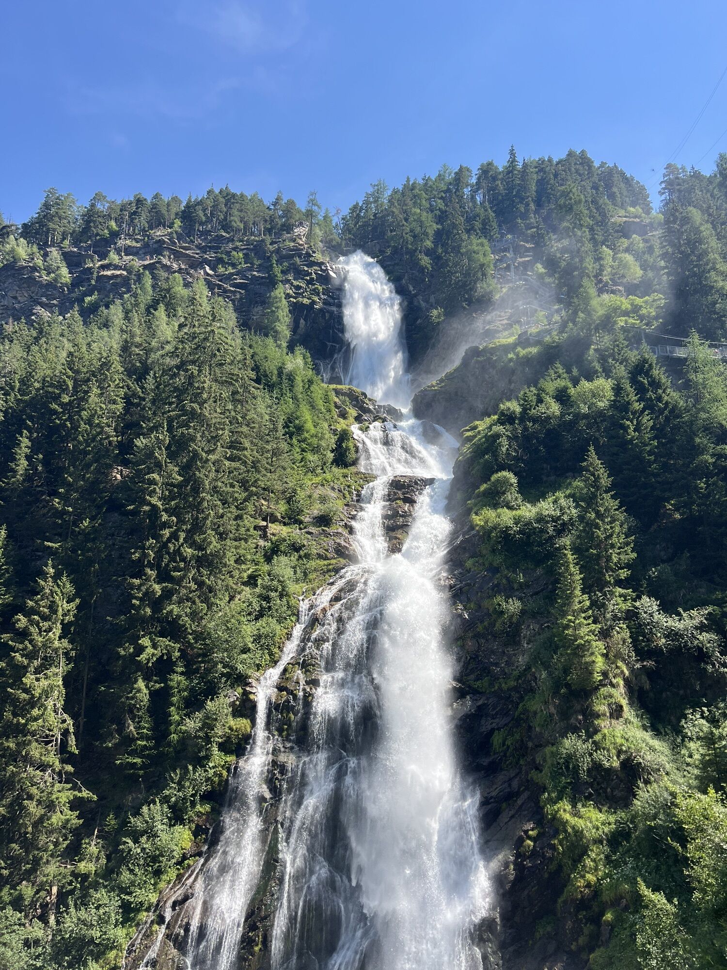
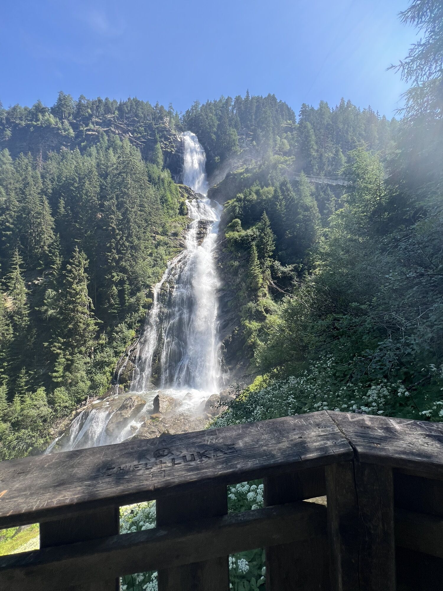
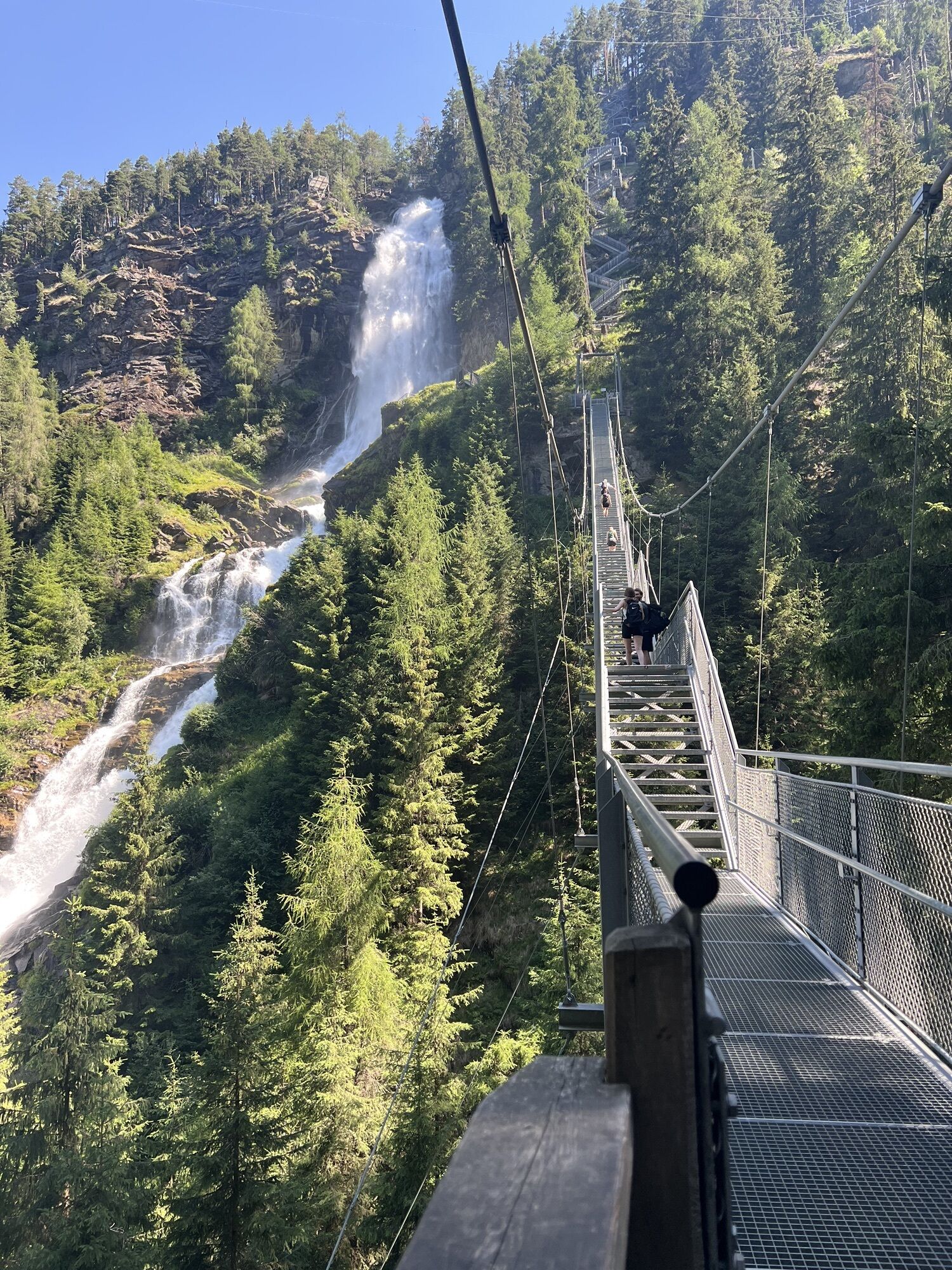
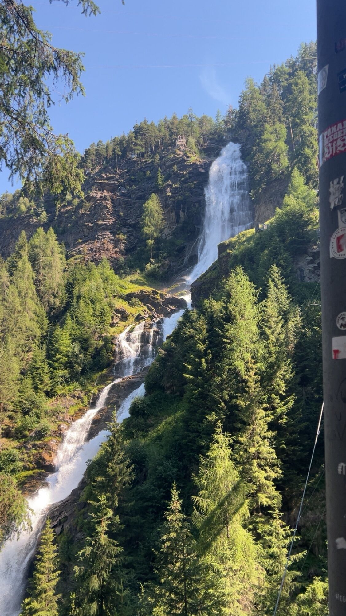
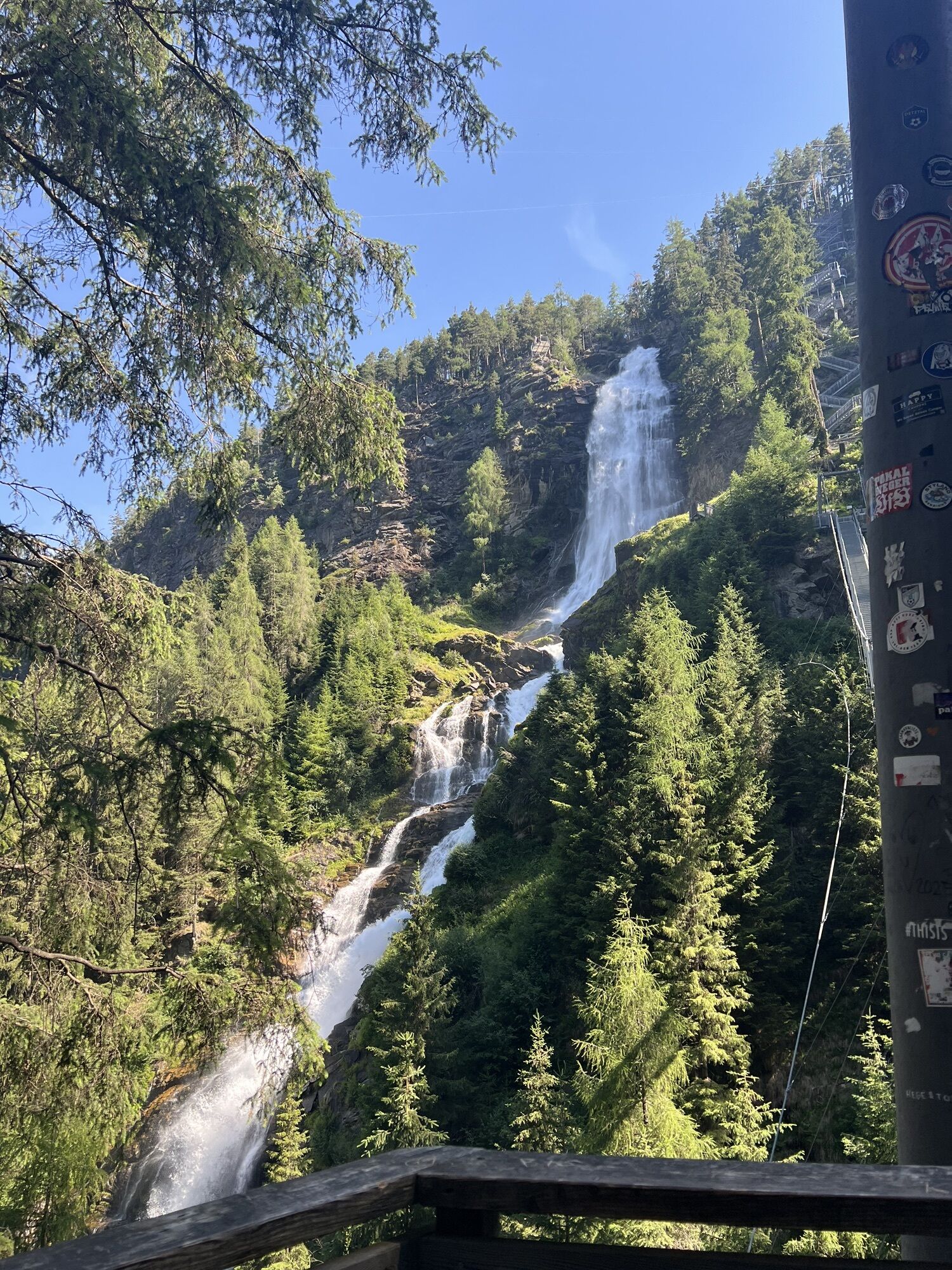
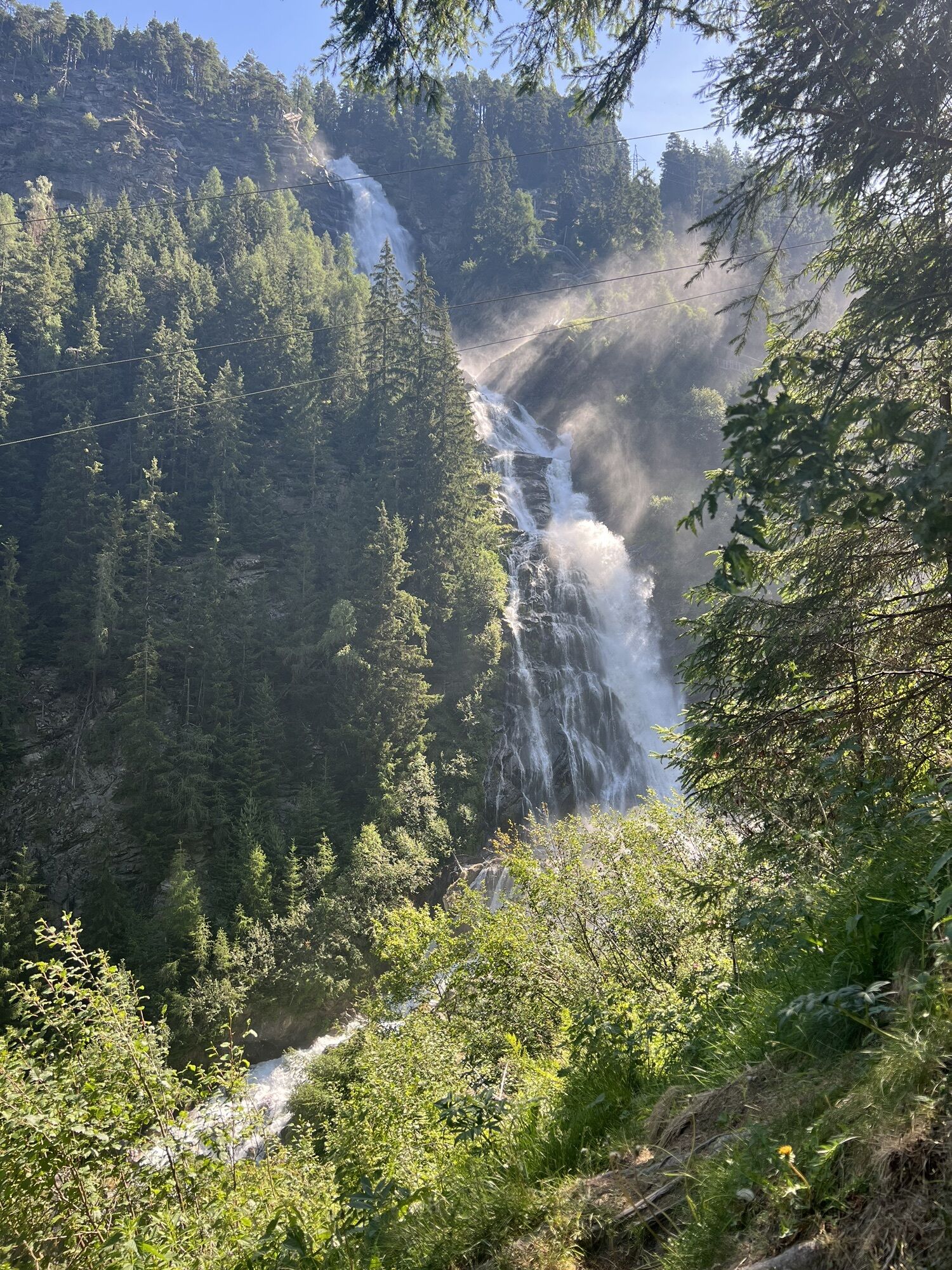
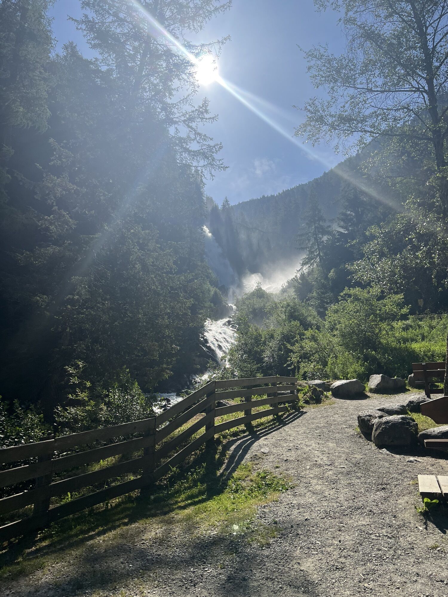
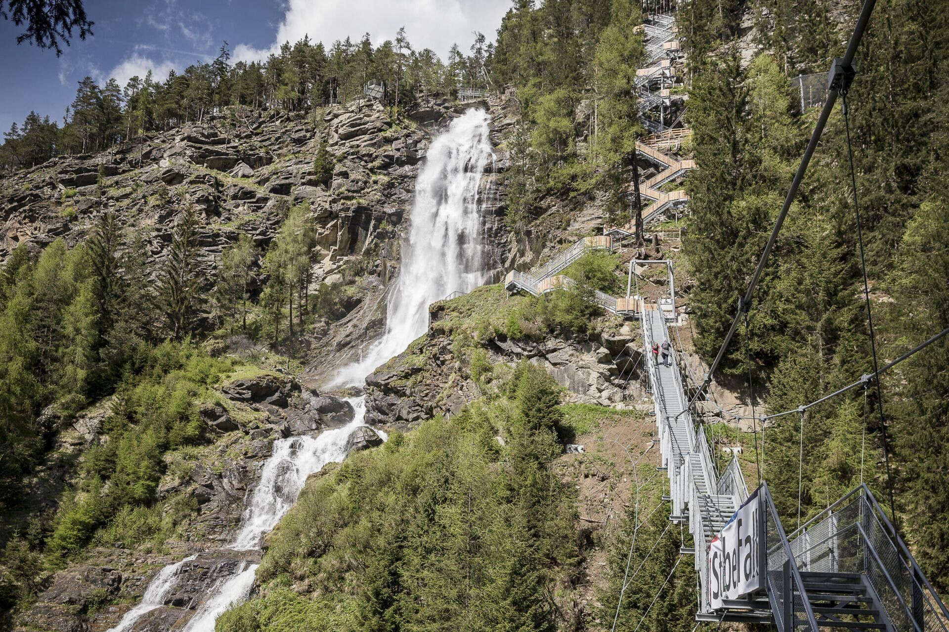
The start is in the center of Umhausen at an altitude of 1,036m. After one kilometer on asphalt and along the Wasserwaalweg, participants reach the key section of the race. At the foot of the illuminated...
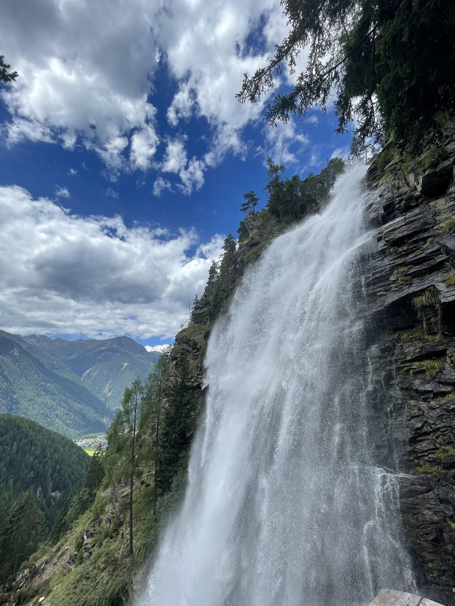
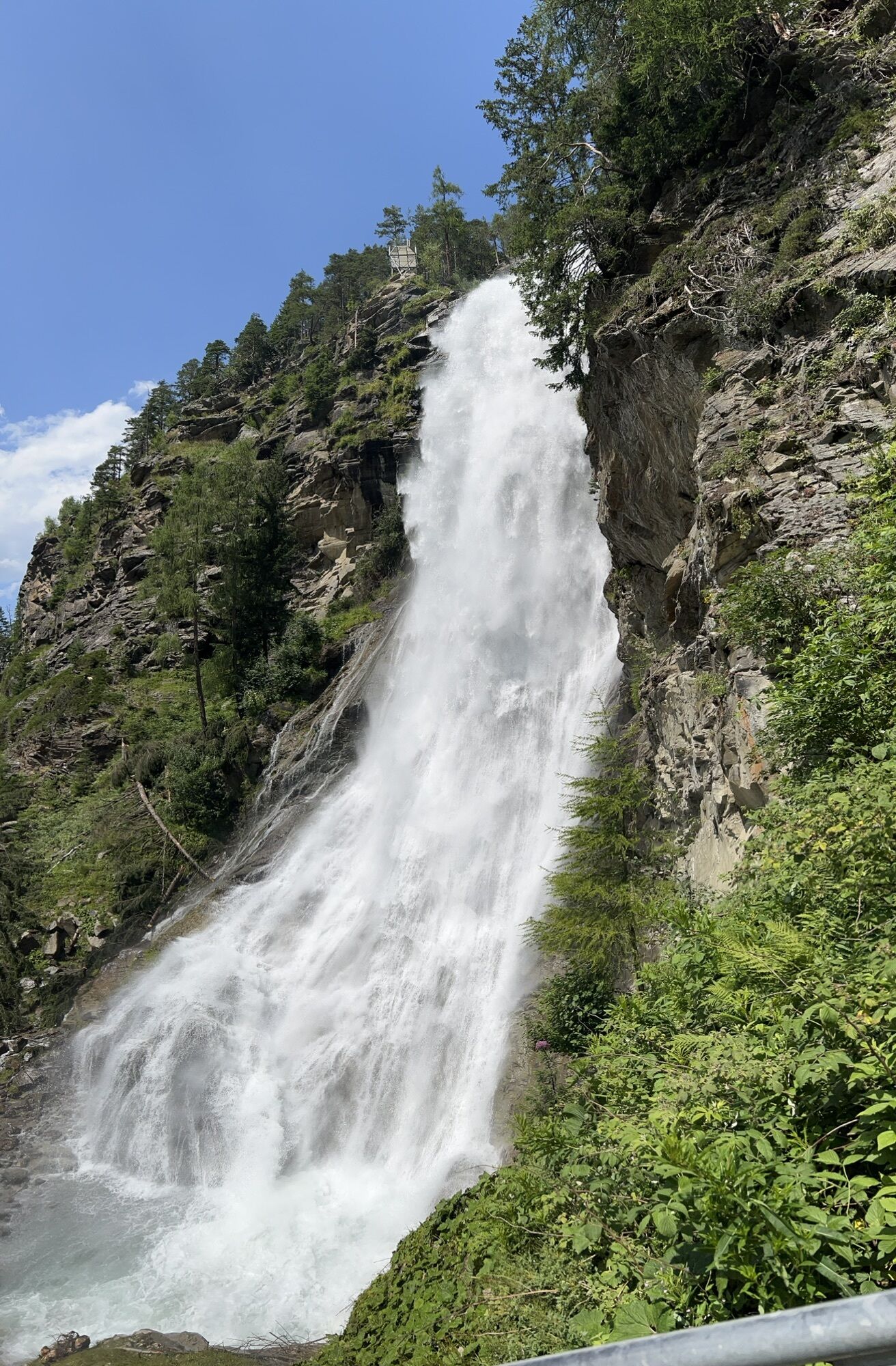
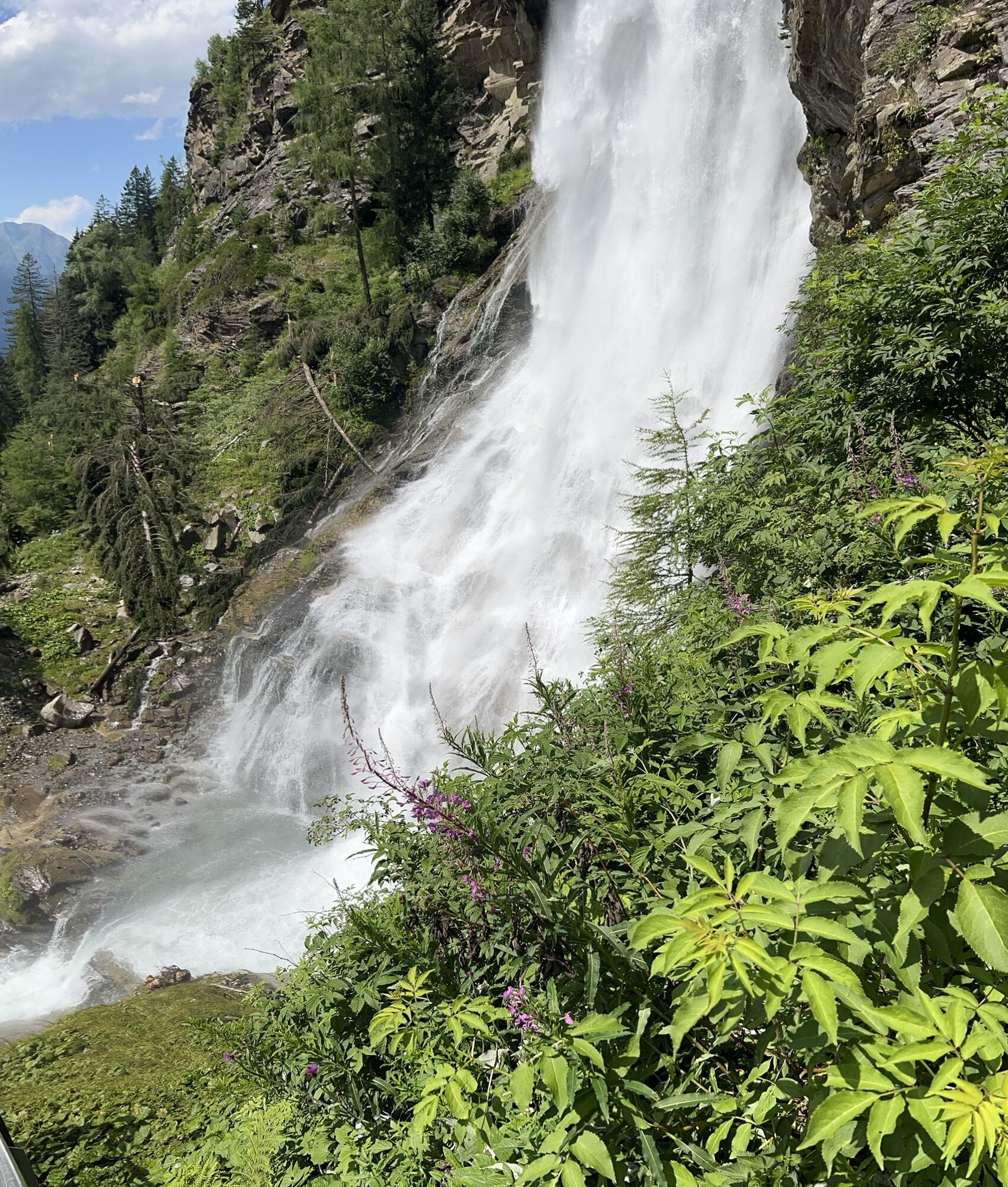
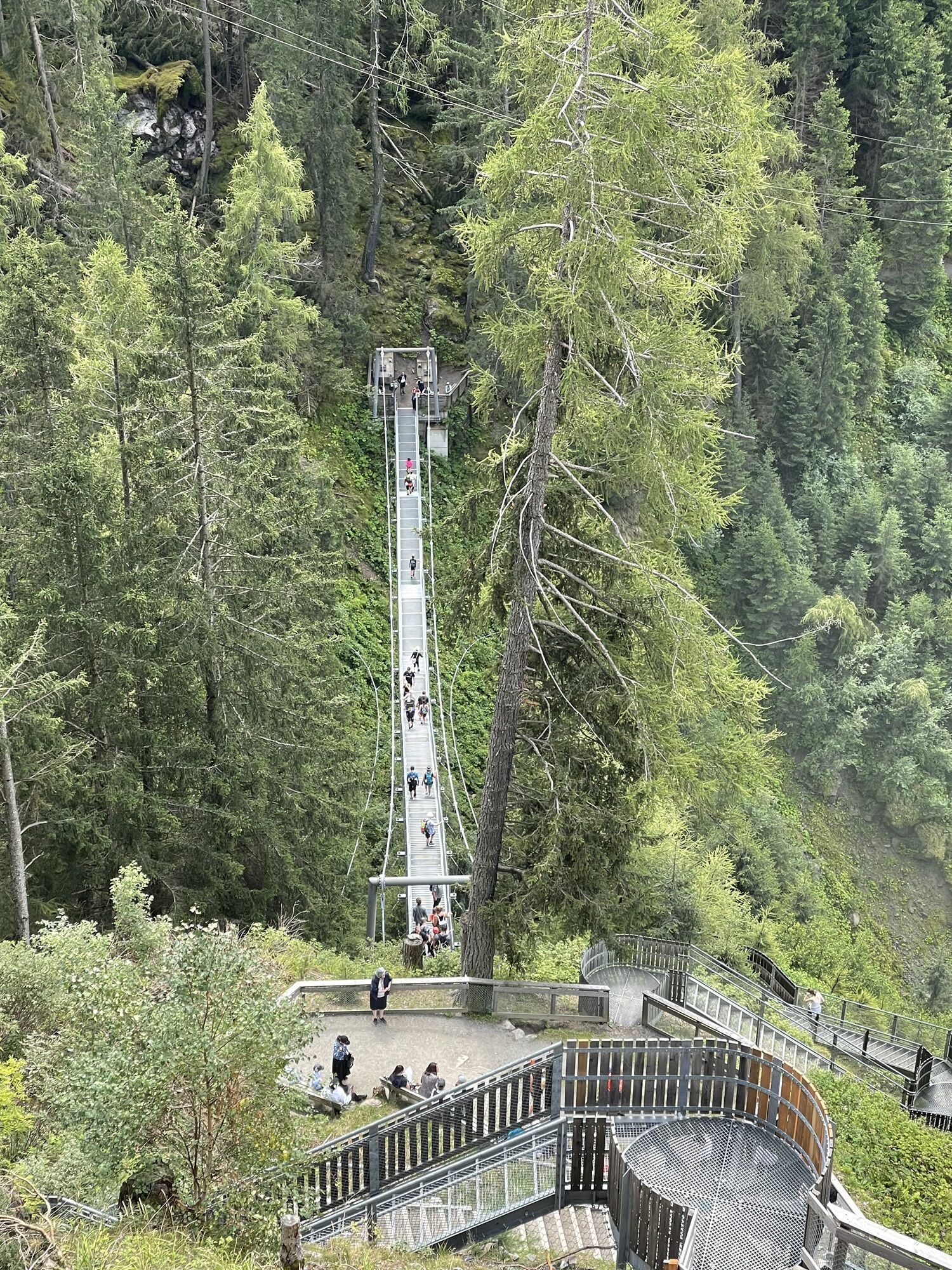
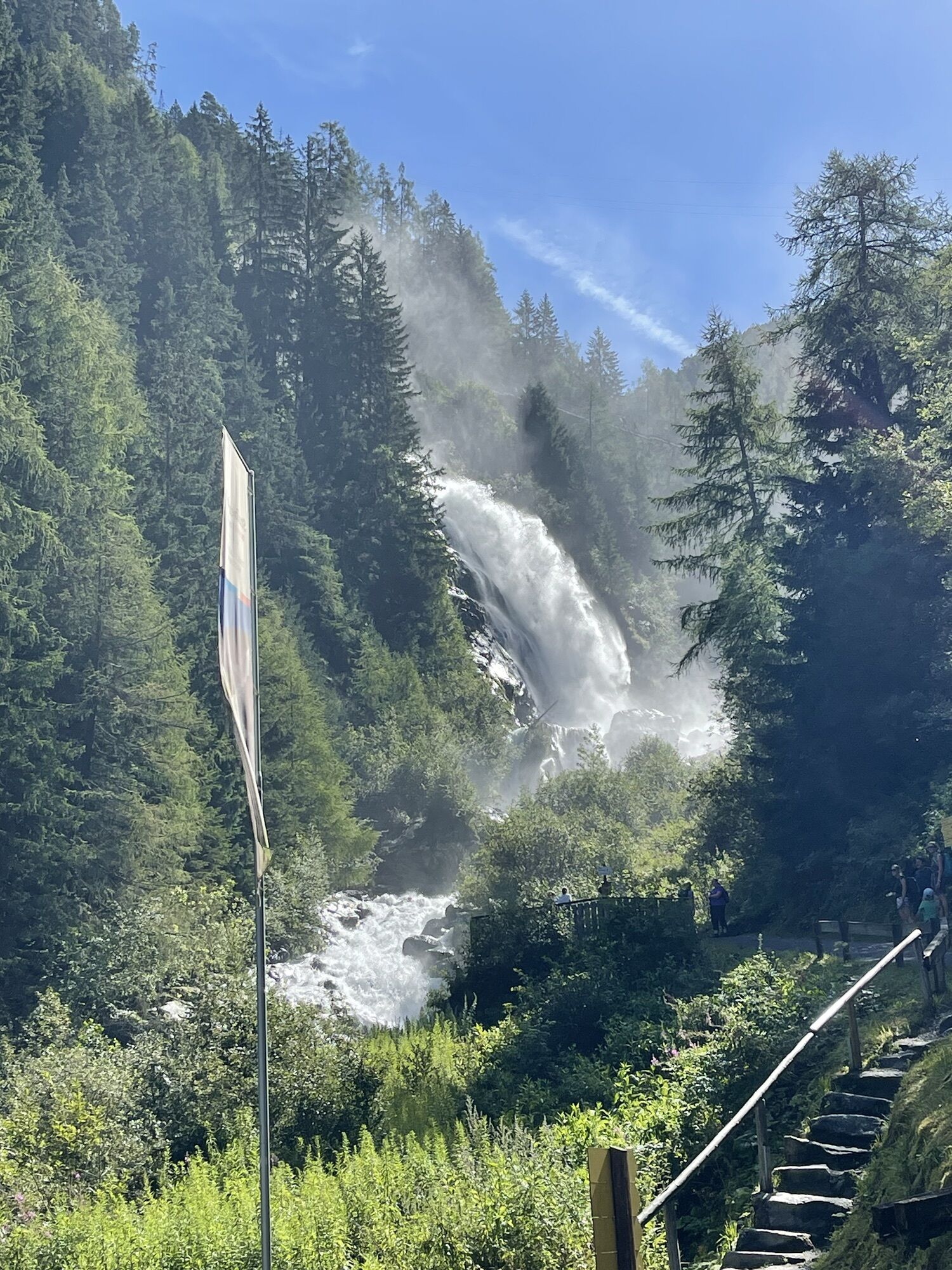
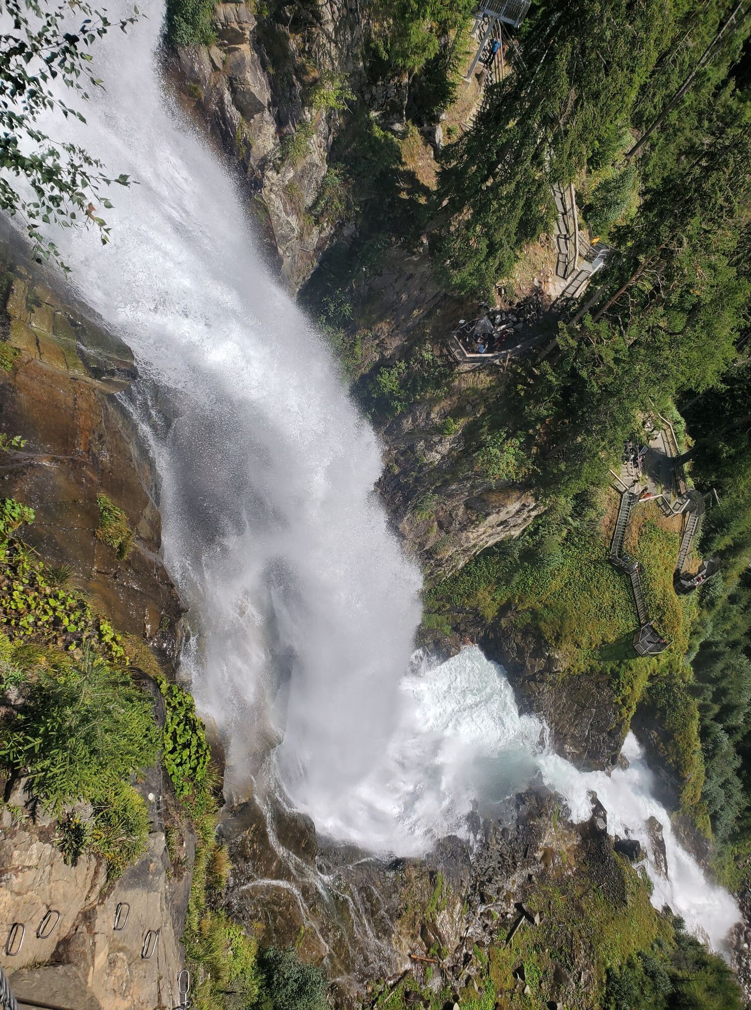
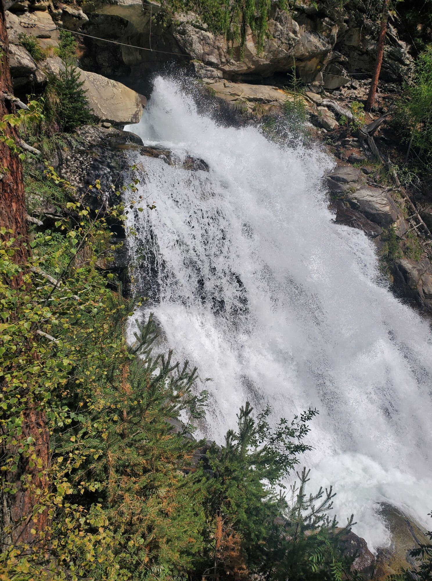
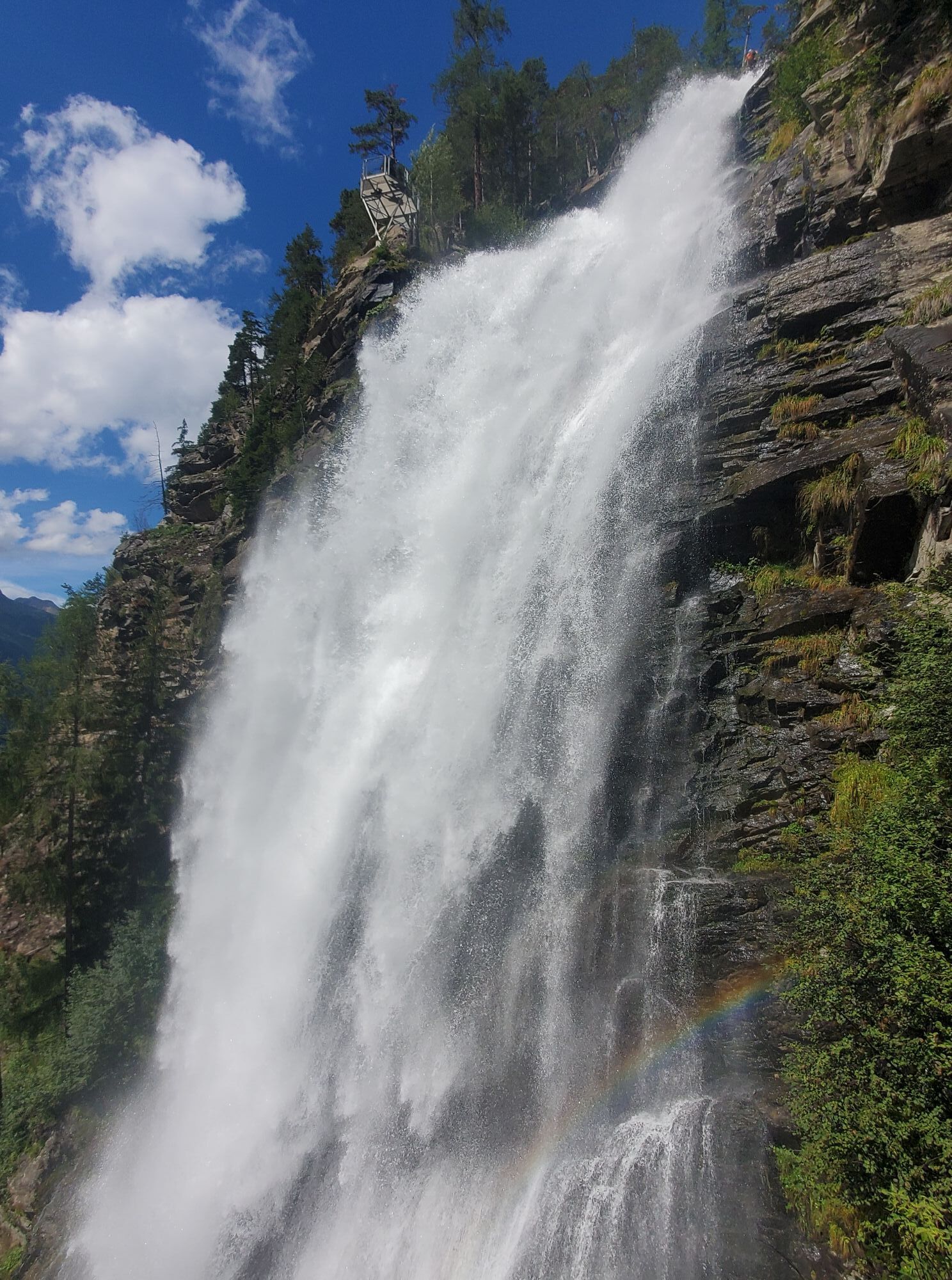
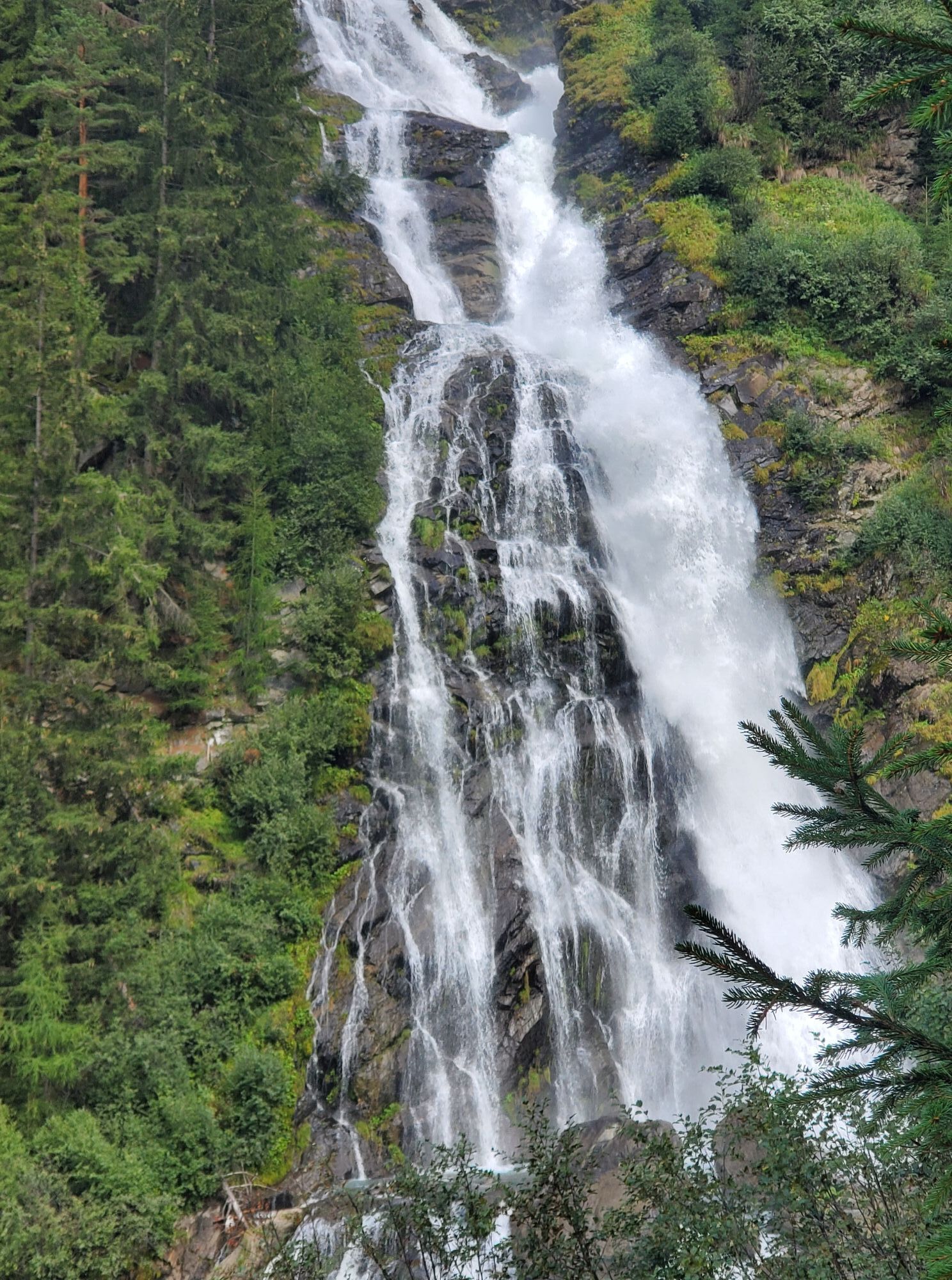
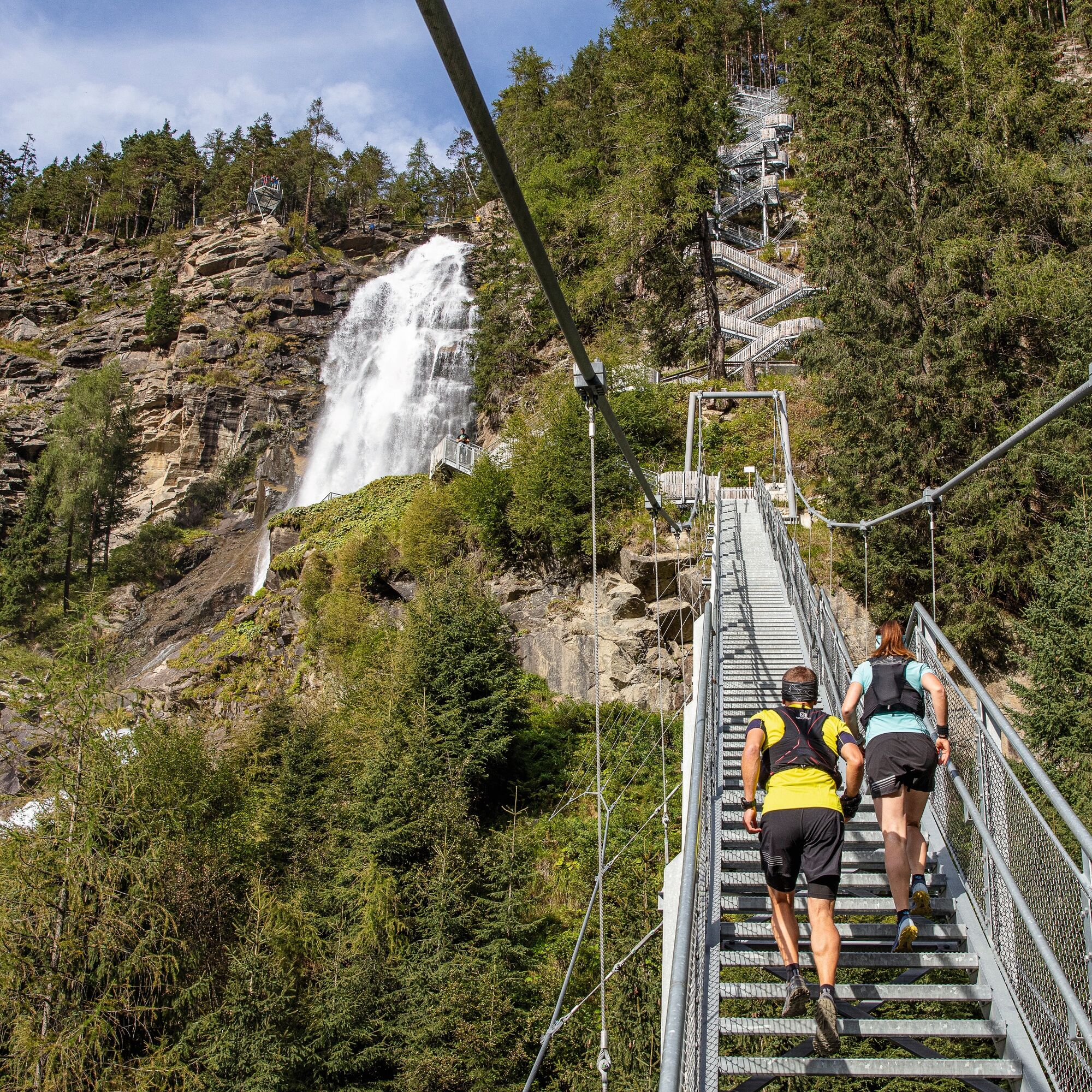
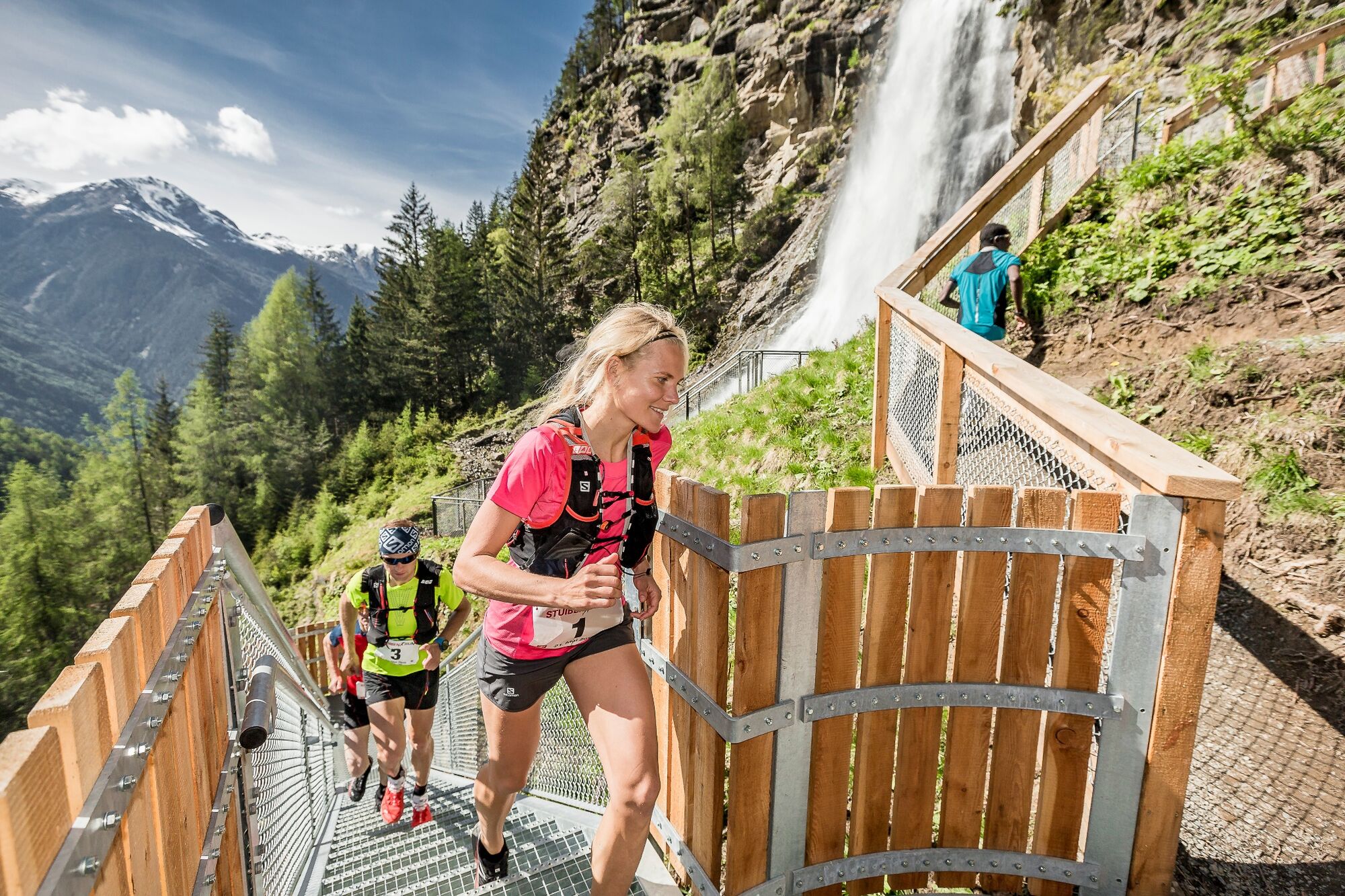
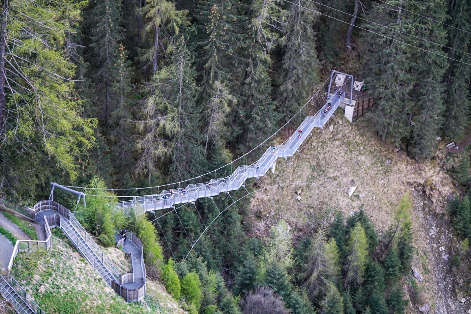
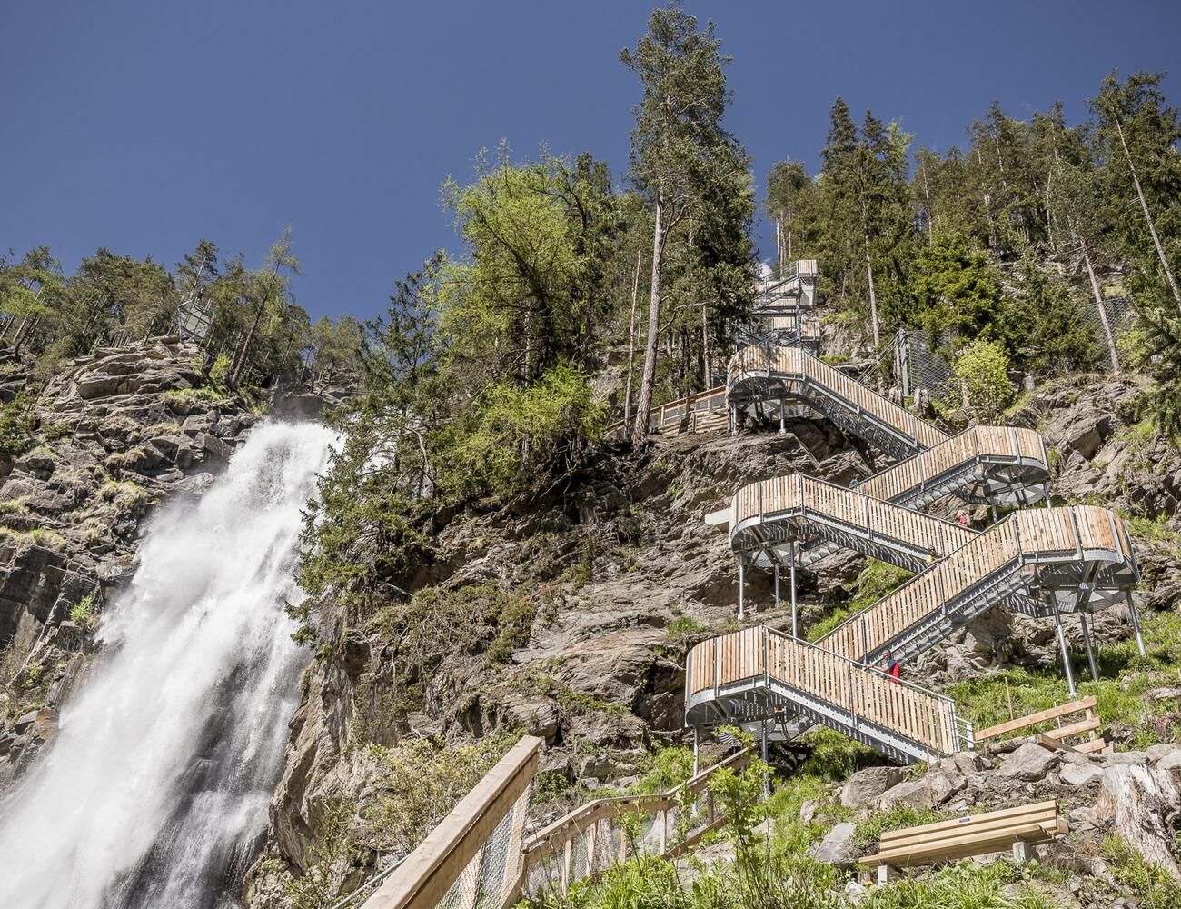
The start is in the center of Umhausen at an altitude of 1,036m. After one kilometer on asphalt and along the Wasserwaalweg, participants reach the key section of the race. At the foot of the illuminated Stuibenfall, after 2 km, 728 spectacular natural and steel steps must be conquered.


The following equipment is recommended:
Running backpack Enough supplies Waterproof rain jacket with hood Mobile phone First aid kit (including emergency blanket, bandage, tape) Trail running shoesAlpine emergency call: 140
Stay safe!
Download the mountain rescue emergency app in advance. If you need help, you can send your exact coordinates via the app.
EMERGENCY APP to download:
Android: https://play.google.com/store/apps/details?id=at.tirol_notfall&hl=de
iPhone: https://apps.apple.com/at/app/sos-eu-alp/id400099520
Traveling by car leads through the Inn Valley to the valley entrance and further along the Ötztal. In addition to the toll motorway, country roads can also be used. Your drive can be quickly and conveniently planned with the route planner. To the route planner: www.google.at/maps
Travel comfortably and safely by train. The final stop or exit point is ÖTZTAL station. Then you can travel comfortably and quickly by public transport or local taxis to the municipality of Umhausen. From the "GH Andreas Hofer" stop, you can reach the start point at Murplatz after about 150m. The current bus timetable is available at: fahrplan.vvt.at
Parking spaces are available directly at Murplatz Umhausen
The route is excellent for interval training.


Kamery internetowe z trasy
Niederthai im Ötztal
Umhausen - Vivea Gesundheitshotel
Stuibenfall
Stuibenfall
Stuibenfall
Stuibenfall
Stuibenfall
Umhausen / Hotel Tauferberg
Umhausen / Hotel Tauferberg
Umhausen / Hotel Tauferberg
Umhausen / Hotel Tauferberg
Umhausen / Hotel Tauferberg
Niederthai - Delano
Niederthai - Delano
Umhausen / Hotel Tauferberg



Popularne wycieczki w okolicy
- 4,7
Winnebachsee Hut – Längenfeld/Gries
średniWędrówka 4,74 km - 4,7
Winter circular route Brandalm/Burgstein - Längenfeld 204
średniWędrówka zimą 5,44 km - 4,4
Hike Stuibenfall - Umhausen
światłoWędrówka 2,95 km - 4,3
Stuibenfall Umhausen circular hike
światłoWędrówka 9,32 km - 4,5
Oetz - Piburger See - Oetz
średniWędrówka 7,16 km - 4,5
KÜHTAI: Kühtai (2020) - Sulzkogel (3016) - Mute (2398)
średniWycieczka wysokogórska 15 km - 4,4
Rundwanderung Hängebrück3
światłoWędrówka 6,32 km - 4,4
Hohe Geige über Gawinden und den Westgrat
ciężkiWędrówka 14,3 km - 4,3
Lampsenspitze, Sellrain, Tirol
średniWycieczka narciarska 4,97 km - 4,3
Umhausen - Stuibenfall - Umhausen
średniWędrówka 7,94 km
Wędrówki i tropienie


Nie przegap ofert i inspiracji na następne wakacje
Twój adres e-mail została dodana do listy mailingowej.





