


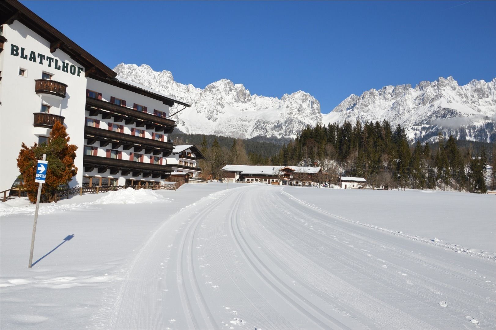
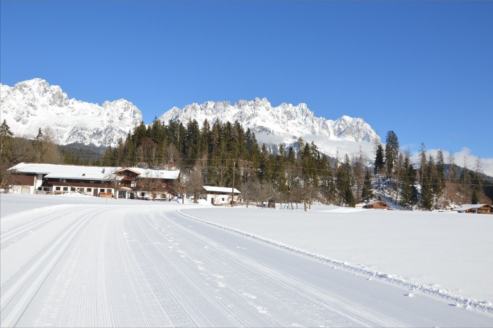
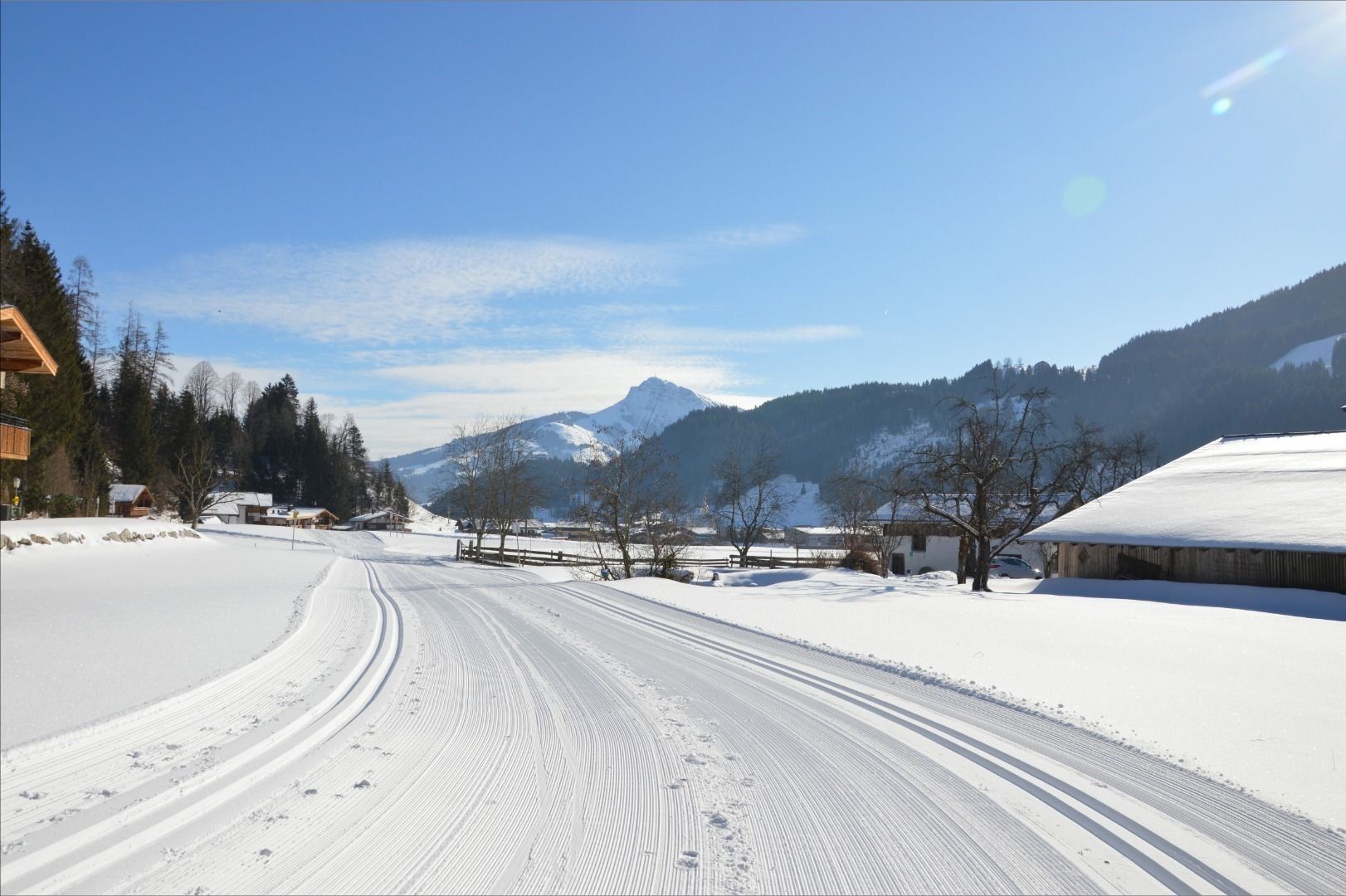
Blattlloipe
You’ll find the entrance to the Blattlloipe just a five-minute walk from Going village centre, very close to the Sonnenhof hotel. This easy cross-country trail heads towards the Hotel Blattlhof, then past...
You’ll find the entrance to the Blattlloipe just a five-minute walk from Going village centre, very close to the Sonnenhof hotel. This easy cross-country trail heads towards the Hotel Blattlhof, then past the Blattlbauer farm and the small Blattlkapelle chapel and it’s an easy return to the starting point. Along the 1.5 kilometre trail you can enjoy an unimpeded view of the winter landscape by the Kaiser. It’s especially suited for newcomers to cross-country to warm up or practise. There’s also a second access point at the Hotel Blattlhof. Serious cross-country skiers will also find here the conclusion of the Schwendterloipe and the Kaiserloipe Ellmau cross-country trails.
Winterkarte - TVB Wilder Kaiser
Heading from St. Johann on the B178 road, take the first exit to Going and drive through the town until you see the Tourist Information Office and the hiking starting point on the left-hand side after crossing the bridge.
More informationen at: www.wilderkaiser.info
You can find the next public car park opposite the hiking starting point (located to the left of the road and before the bridge; 764 m) - for free
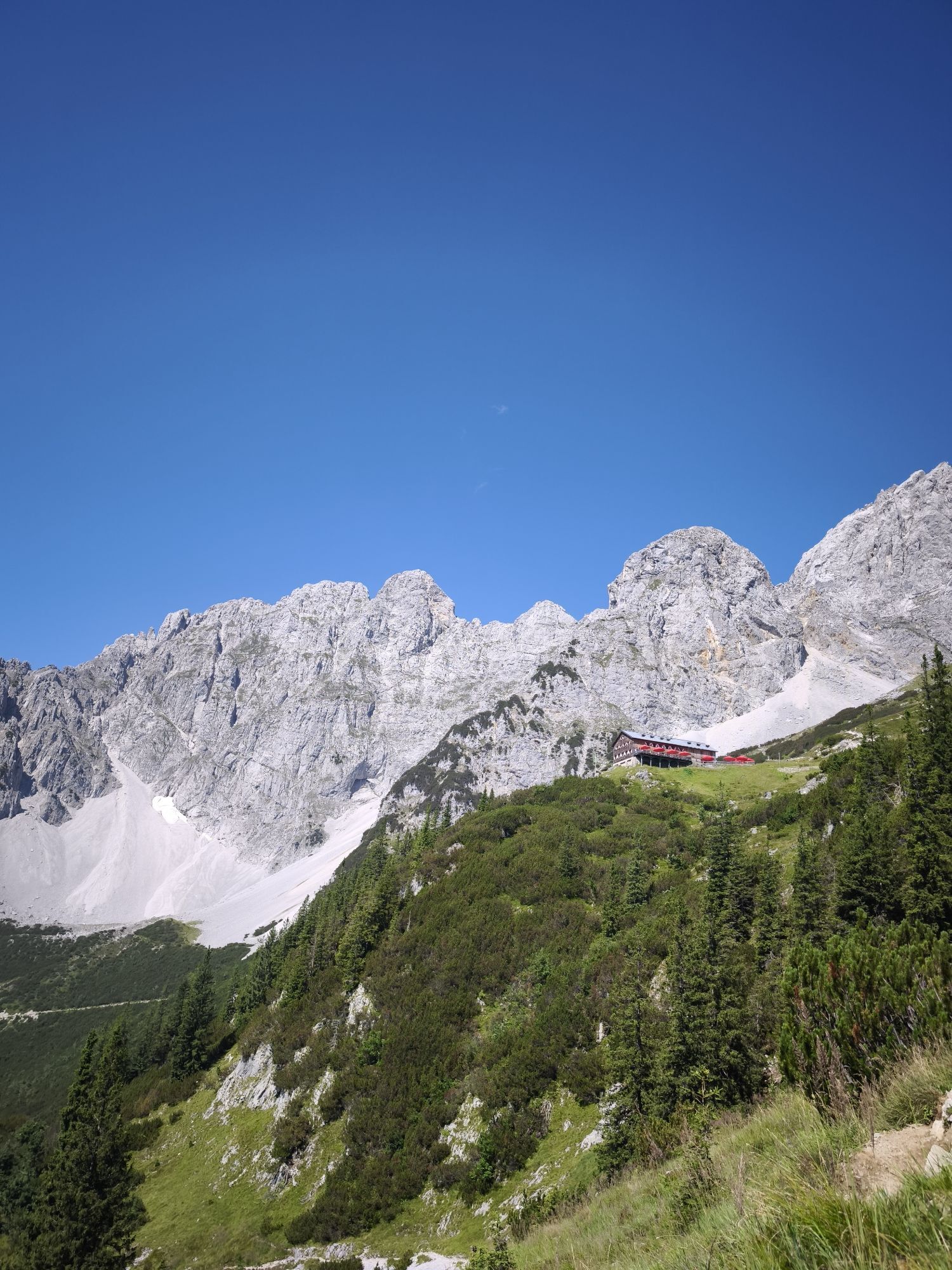
Popularne wycieczki w okolicy
-
4,7
Kirchdorf: Zur geheimnisvollen Teufelsgasse
średniWędrówka 7,90 km -
4,2
Erpfendorf: Griesbachklamm
średniWędrówka 10 km -
4,9
Streif Wanderweg
średniWędrówka 5,73 km -
4,7
Musikantensteig zur Naunspitze
średniWędrówka 8,96 km -
4,6
St. Johann in Tirol: Wasserfall & 3 Seen am Kitzbüheler Horn
średniWędrówka 12,7 km -
4,5
Über Hintersteinersee und Walleralm aufs Hochegg
światłoWędrówka 12,2 km -
4,5
Wanderung um den Hintersteinersee
światłoWędrówka 5,29 km -
4,6
Hintersteinersee
średniWędrówka 9,87 km -
5,0
Stripsenjoch Klettersteige/ Rundwanderung von Griesener Alm über Stripsenjochhaus und Feldberg
średniVia ferrata 10,2 km -
4,9
Route 209: Brechhornhaus-Choralpe
ciężkiMountainbike 24,4 km
Wędrówki i tropienie


Nie przegap ofert i inspiracji na następne wakacje
Twój adres e-mail została dodana do listy mailingowej.