






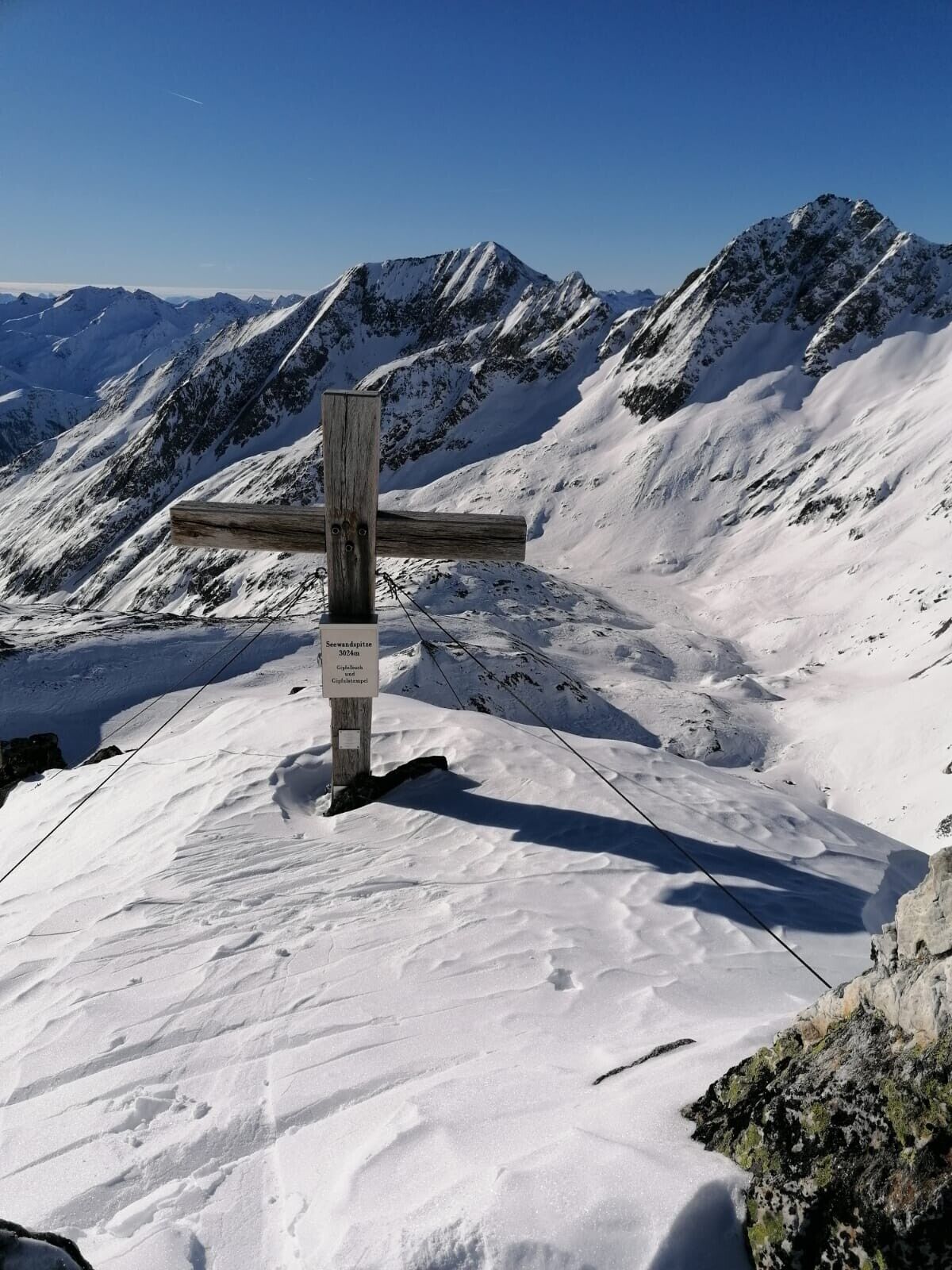
Seewandkopf 3.024m
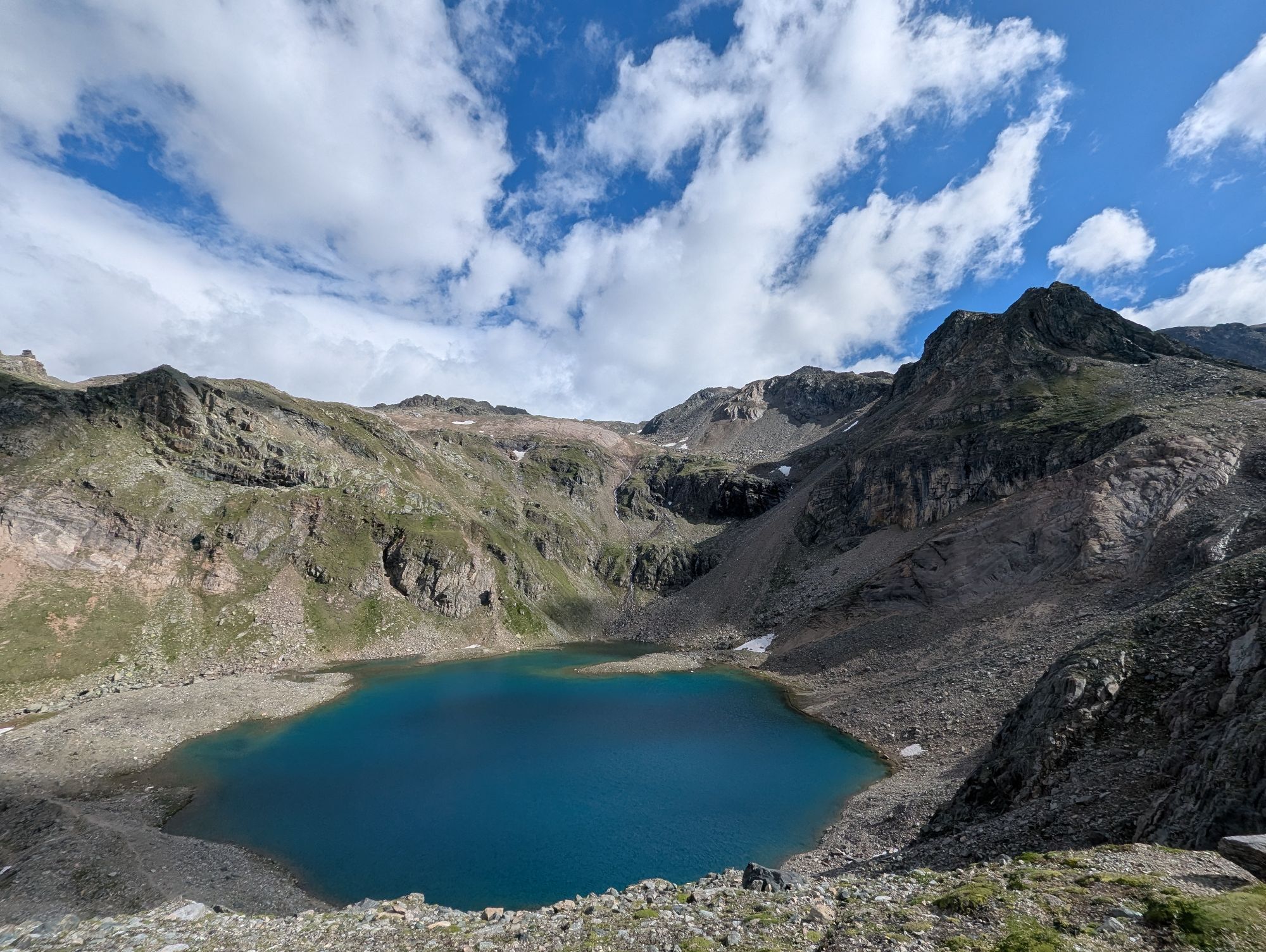
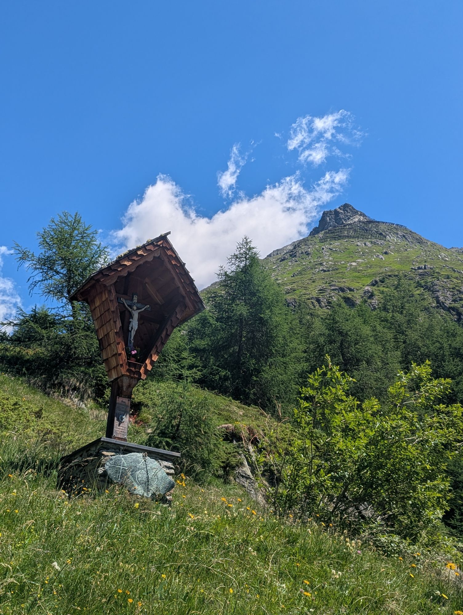
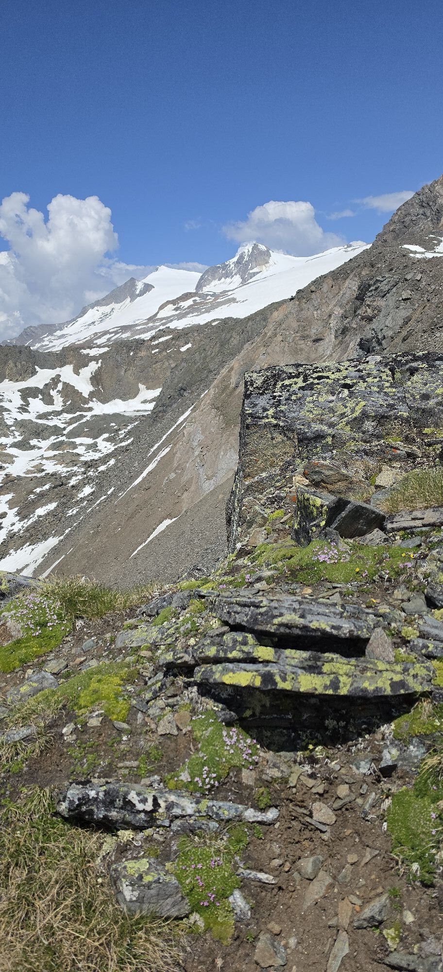
The ascent starts at the chapel in the Wallhorn district (1,400 m) and follows the ‘Einheimischen-Aufstieg’ (locals' ascent) via the ‘Hazer Riese’. This ascent uses the summer trail (signposted Bodenalm)...
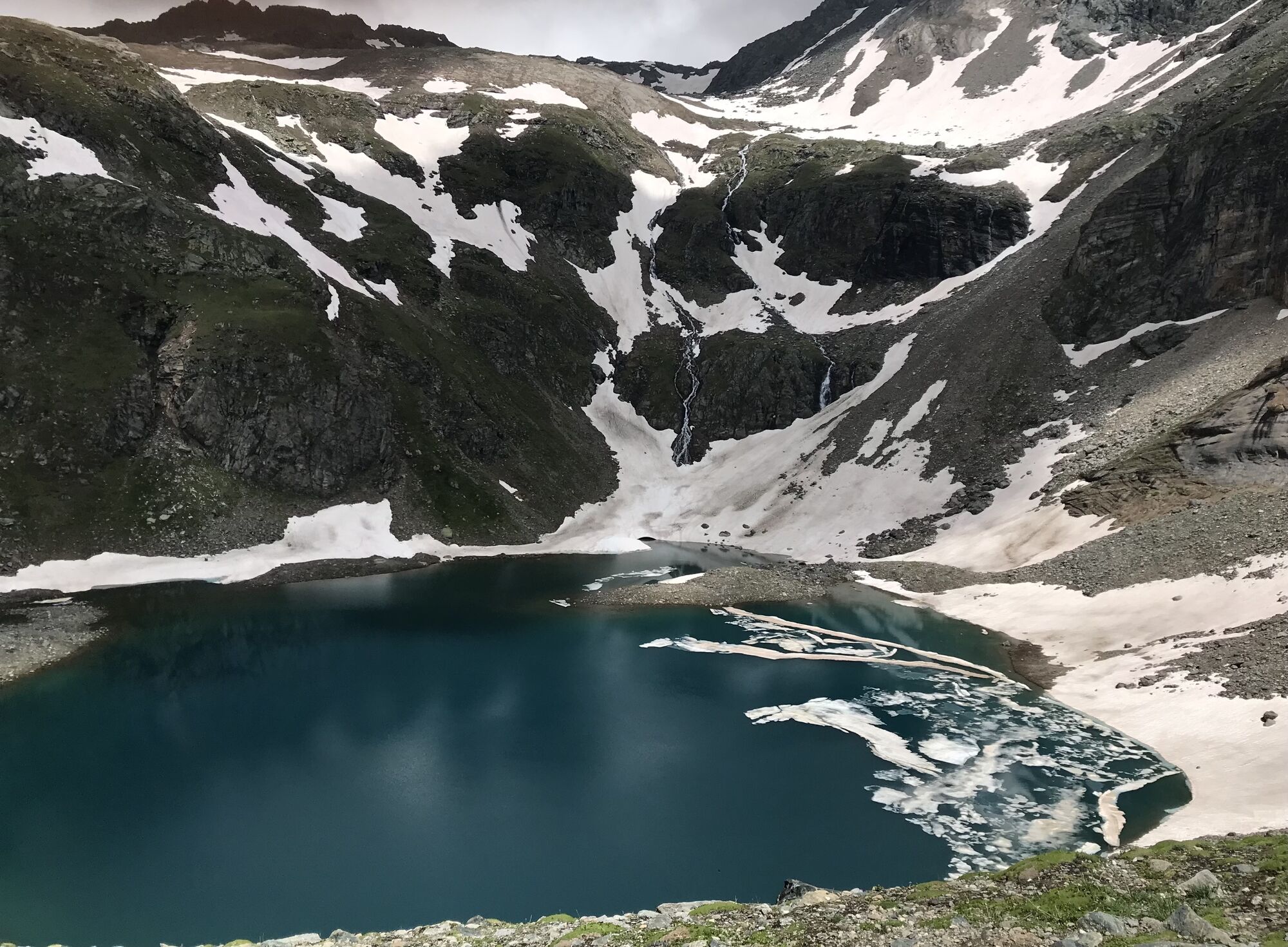
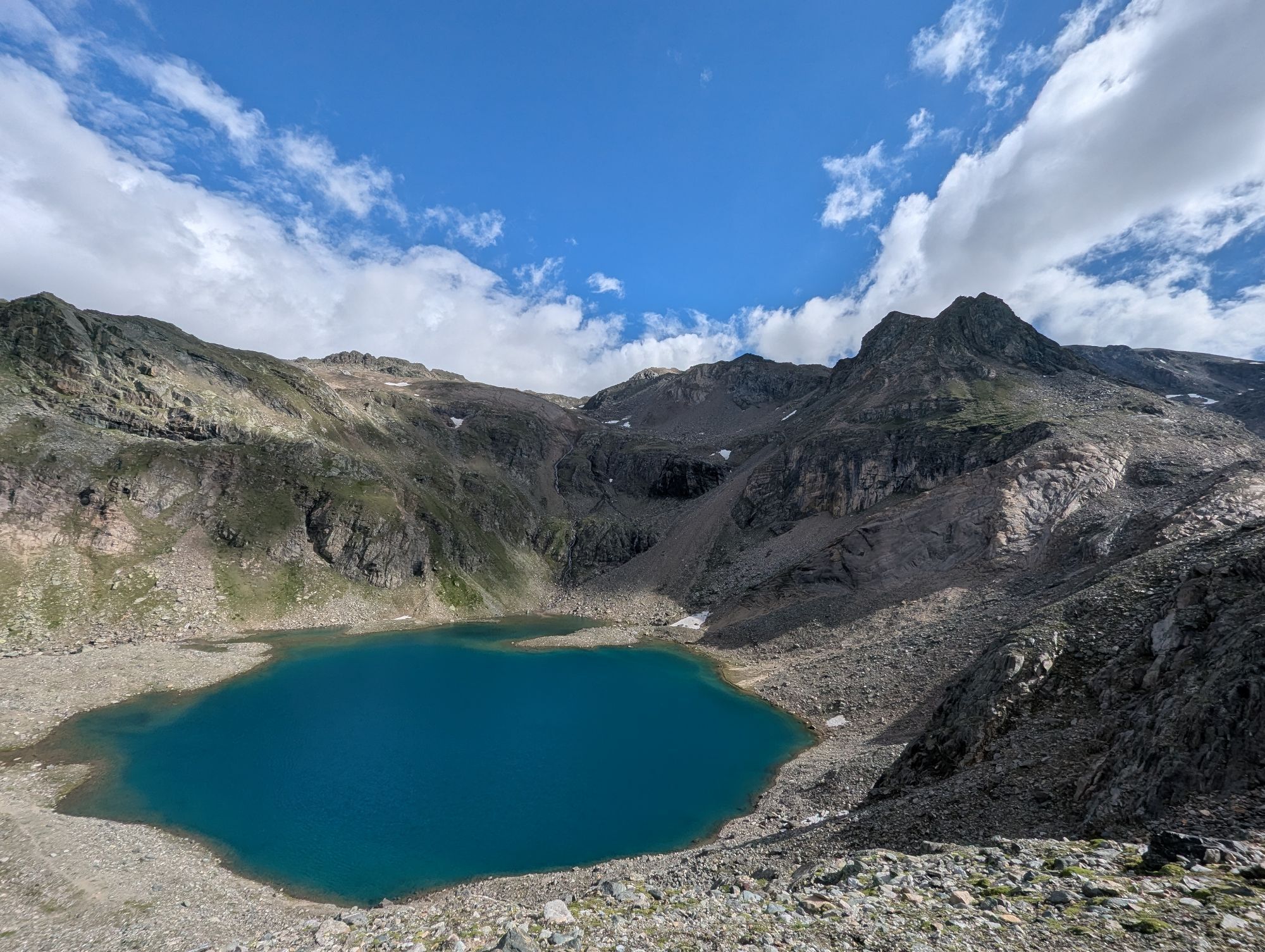
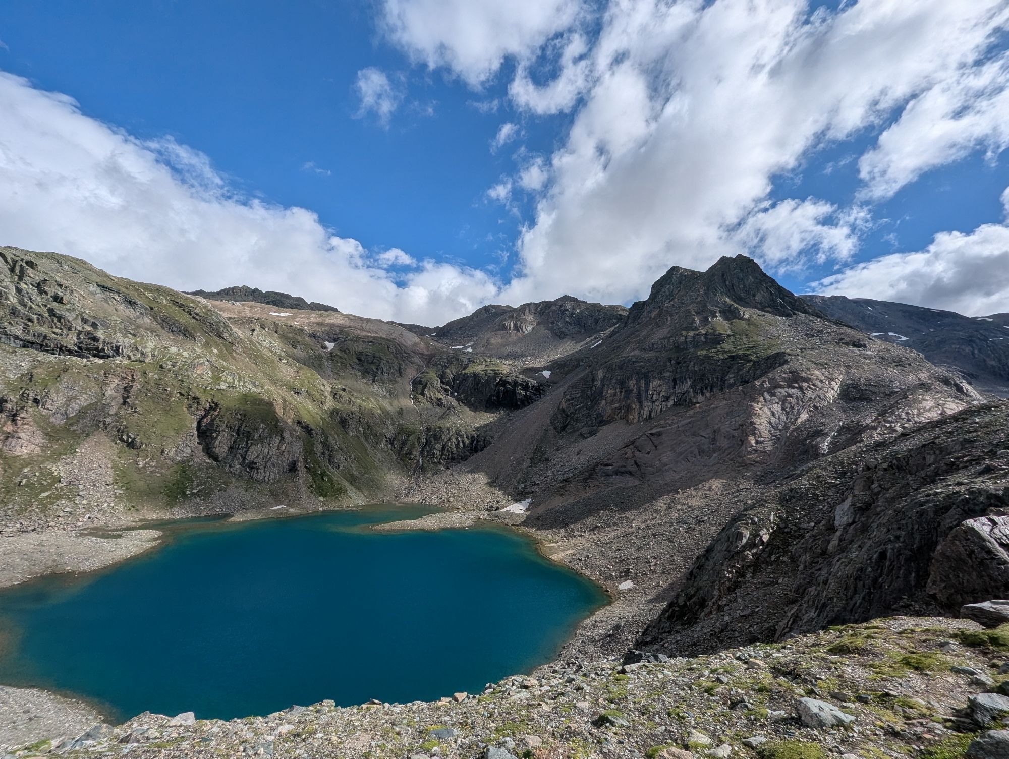
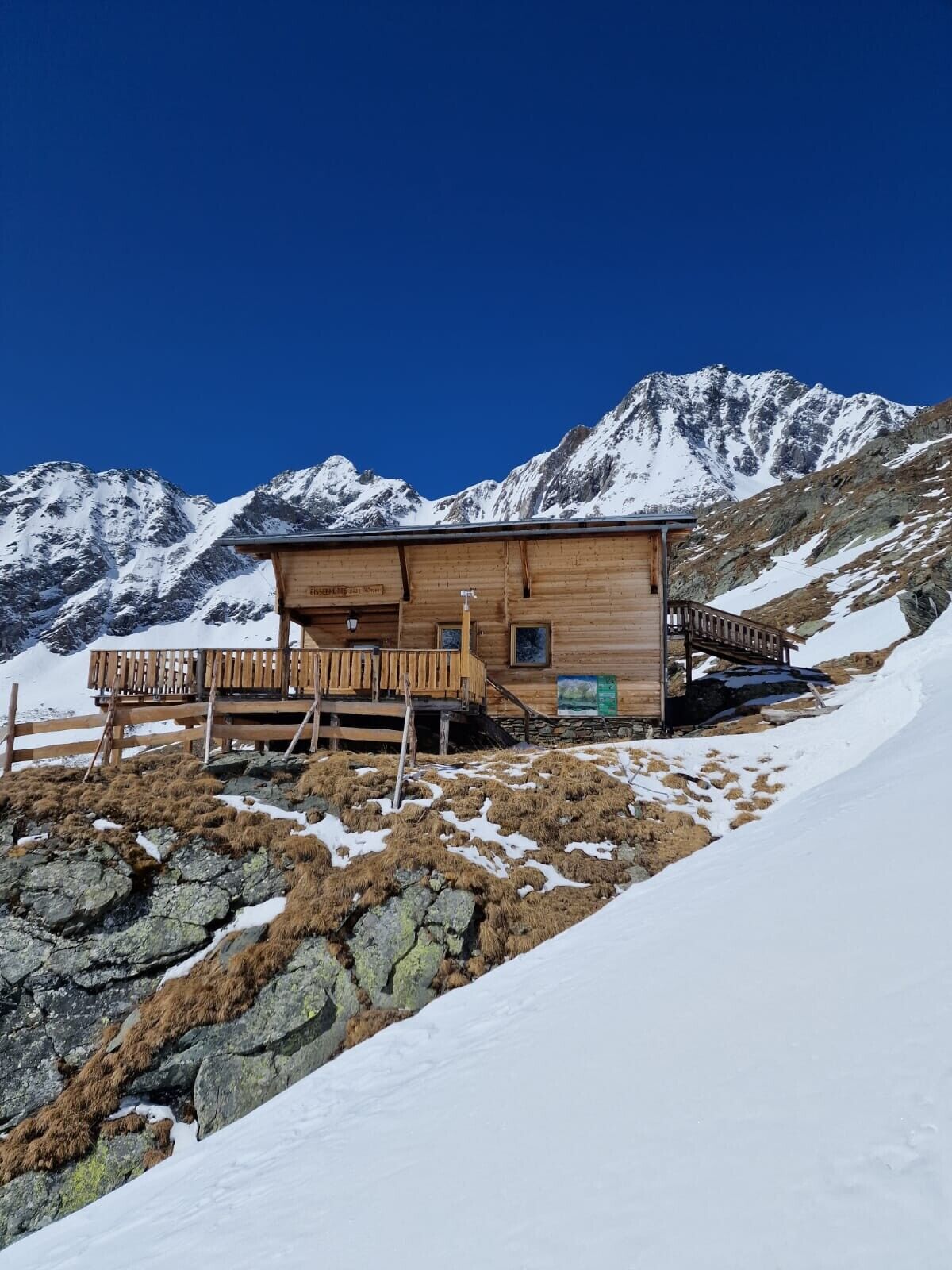
The ascent starts at the chapel in the Wallhorn district (1,400 m) and follows the ‘Einheimischen-Aufstieg’ (locals' ascent) via the ‘Hazer Riese’. This ascent uses the summer trail (signposted Bodenalm) and, after a few hairpin bends and curves in the forest, reaches the Grieser Alm. At an iron gate, we rejoin the road after a short stretch of meadow. Taking a shortcut through the forest, we reach the Bodenalm (1,948 m). At the end of the road, signposts guide us along the summer trail into the Timmeltal valley. We cross an icy stream with caution before south-facing slopes lead us to a wooden cross. A slightly descending traverse now takes us down to the valley floor and across the ground. The Eisseehütte (2,500 m) is already visible from a distance as we head towards the hut via a system of gullies and hollows to the left (west side) of the stream. The route now continues eastwards to the moraine ridge and crosses slightly downhill at 2,700 m into a small high valley. From the moraine cone, we take the steep slope on the left, which should not be underestimated due to its steepness and orientation (SSE).
Further ski touring tips can be found in Thomas Mariacher's ski touring guides, available at https://www.tyroliaverlag.at/item/Skitouren_in_Osttirol_und_Oberkaernten/Thomas_Mariacher/43058387.


Bus stop Prägraten am Großvenediger Wallhorn
Parkplatz Kapelle Wallhorn 1.450m
Kamery internetowe z trasy
Uzyskaj wgląd
Zawsze na żywo z ponad 9 500 kamer internetowych. bergfex Jako użytkownik Pro, możesz teraz zobaczyć odpowiednie kamery internetowe dla wielu wycieczek w aplikacji wycieczki od. Pozwala to na bezpośredni podgląd aktualnych warunków.
Popularne wycieczki w okolicy
-
4,8
NaturKraftWeg Umbalfälle
światłoTrasa tematyczna 5,99 km -
4,1
Gletscherlehrweg Innergschlöß
średniWędrówka 9,36 km -
4,5
Circular hike Proßeggklamm
średniWędrówka 8,41 km -
4,6
Vom Matreier Tauernhaus über die Felsenkapelle nach Innergschlöss
światłoWędrówka 9,19 km -
4,8
Stoden - Clarahütte
średniWędrówka 7,12 km -
4,8
Circular hike suspension bridge Isel Canyon via "Hohe Bank"
średniWędrówka 8,11 km -
4,7
Wiesbauerspitze 2.767 m
średniWędrówka 9,66 km -
4,1
Habachtal bis zur Thüringer Hütte
Wędrówka 6,53 km -
4,3
Seespitze
średniWędrówka 13,7 km -
3,4
Krimmler Tauernhaus - Warnsdorfer Hut - Gamsspitzl
ciężkiWędrówka 10,5 km
Wędrówki i tropienie


Nie przegap ofert i inspiracji na następne wakacje
Twój adres e-mail została dodana do listy mailingowej.





