


Ski route - Ochsenälpleskopf
Zdjęcia naszych użytkowników
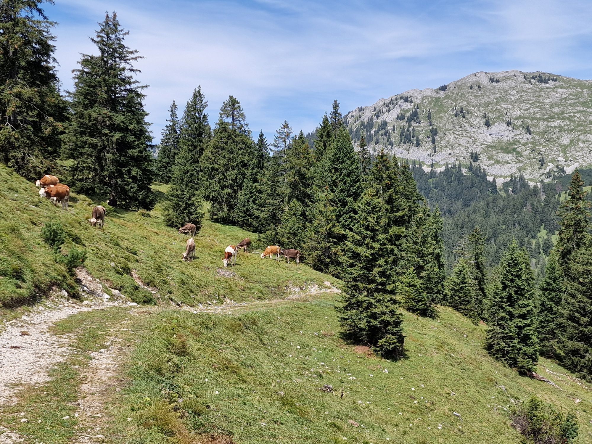
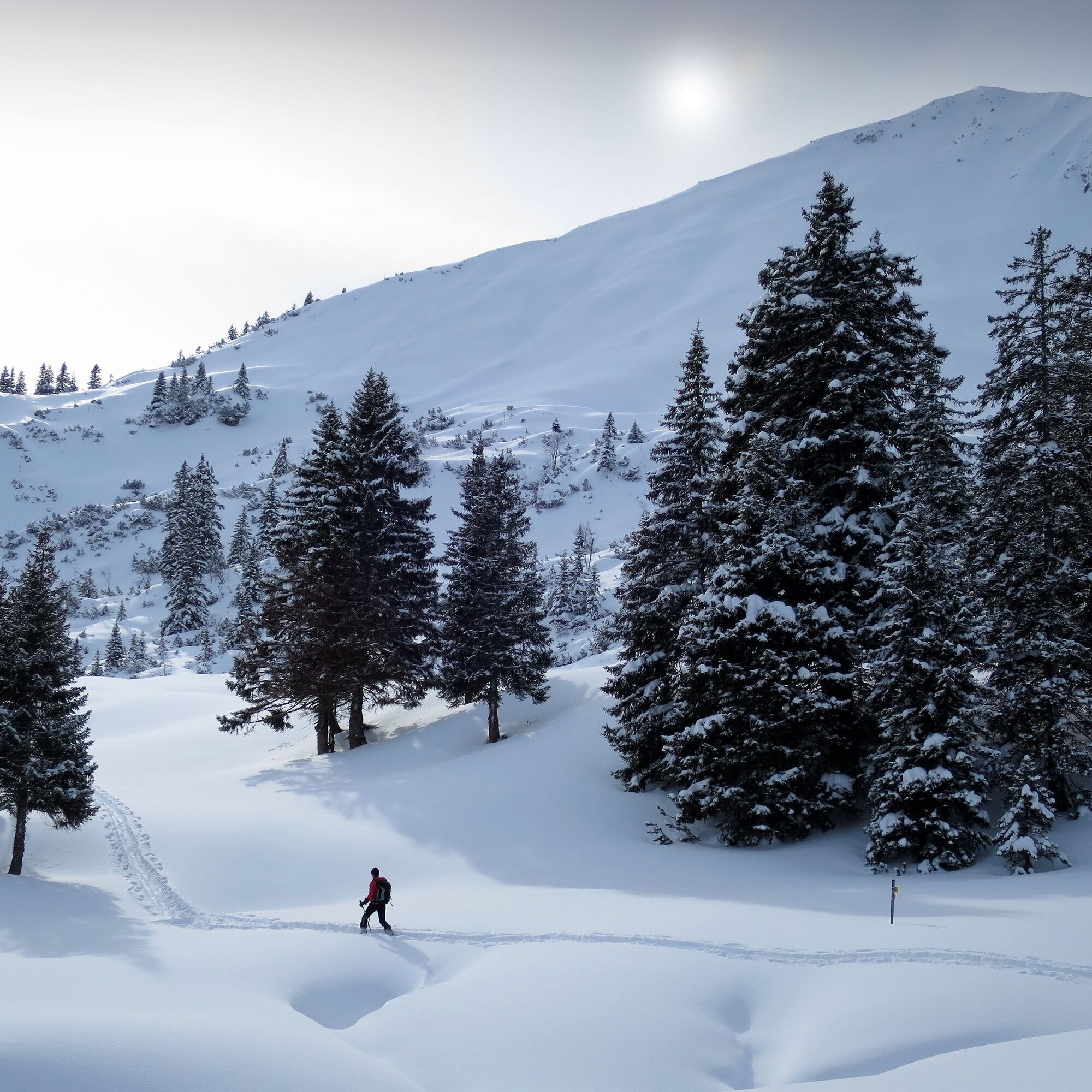
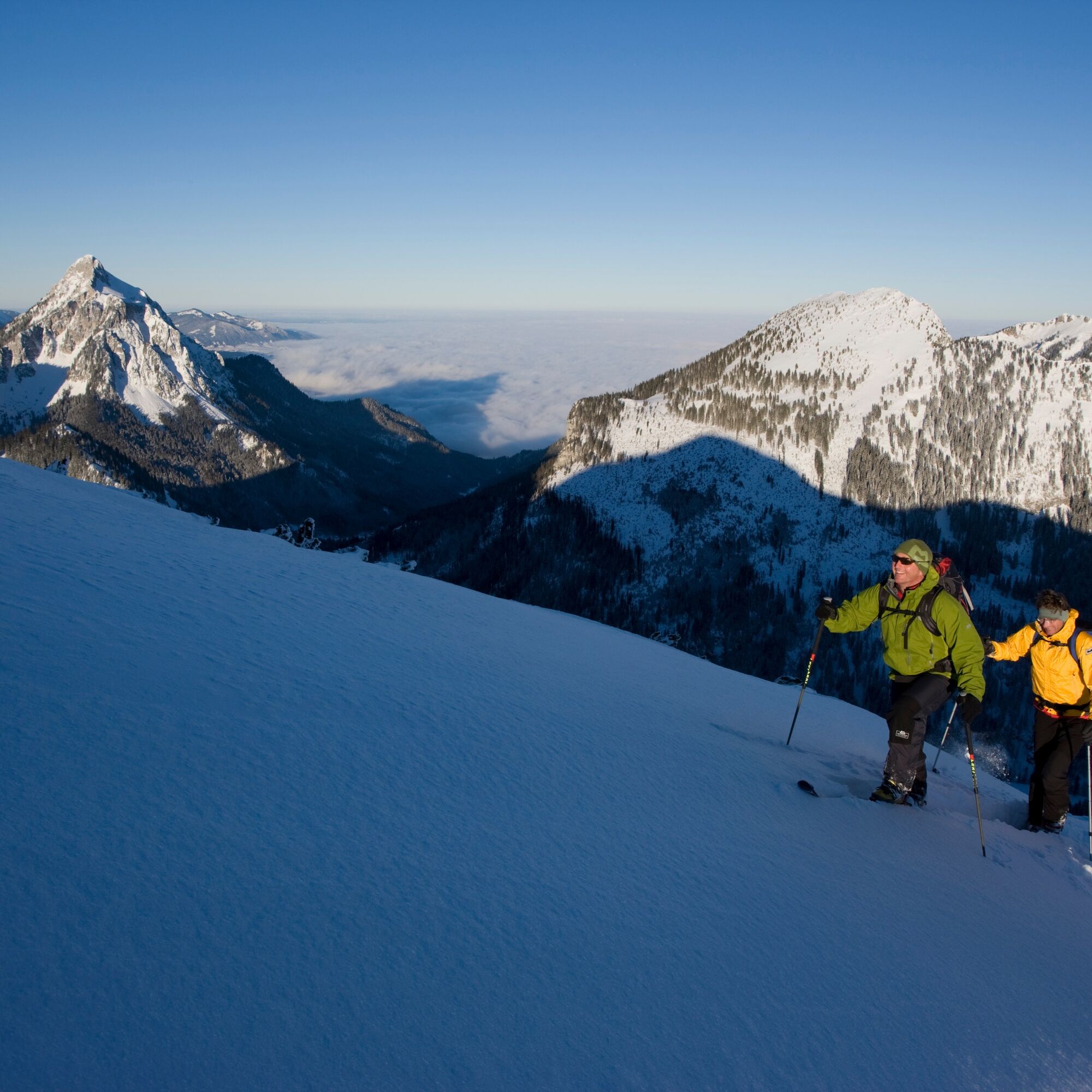
The Ochsenälpleskopf is a rather quiet destination in the Ammerwald. After a somewhat steeper forest ascent (high snow cover recommended), a pretty northeast-facing summit slope follows.

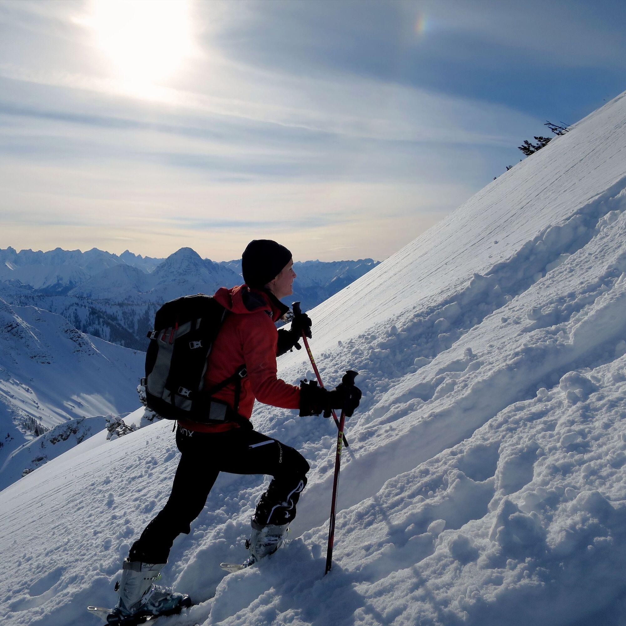
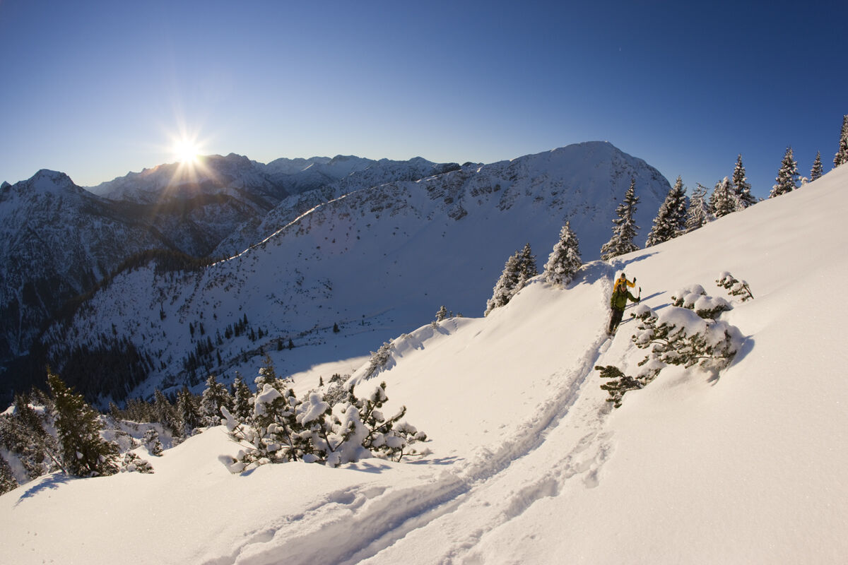
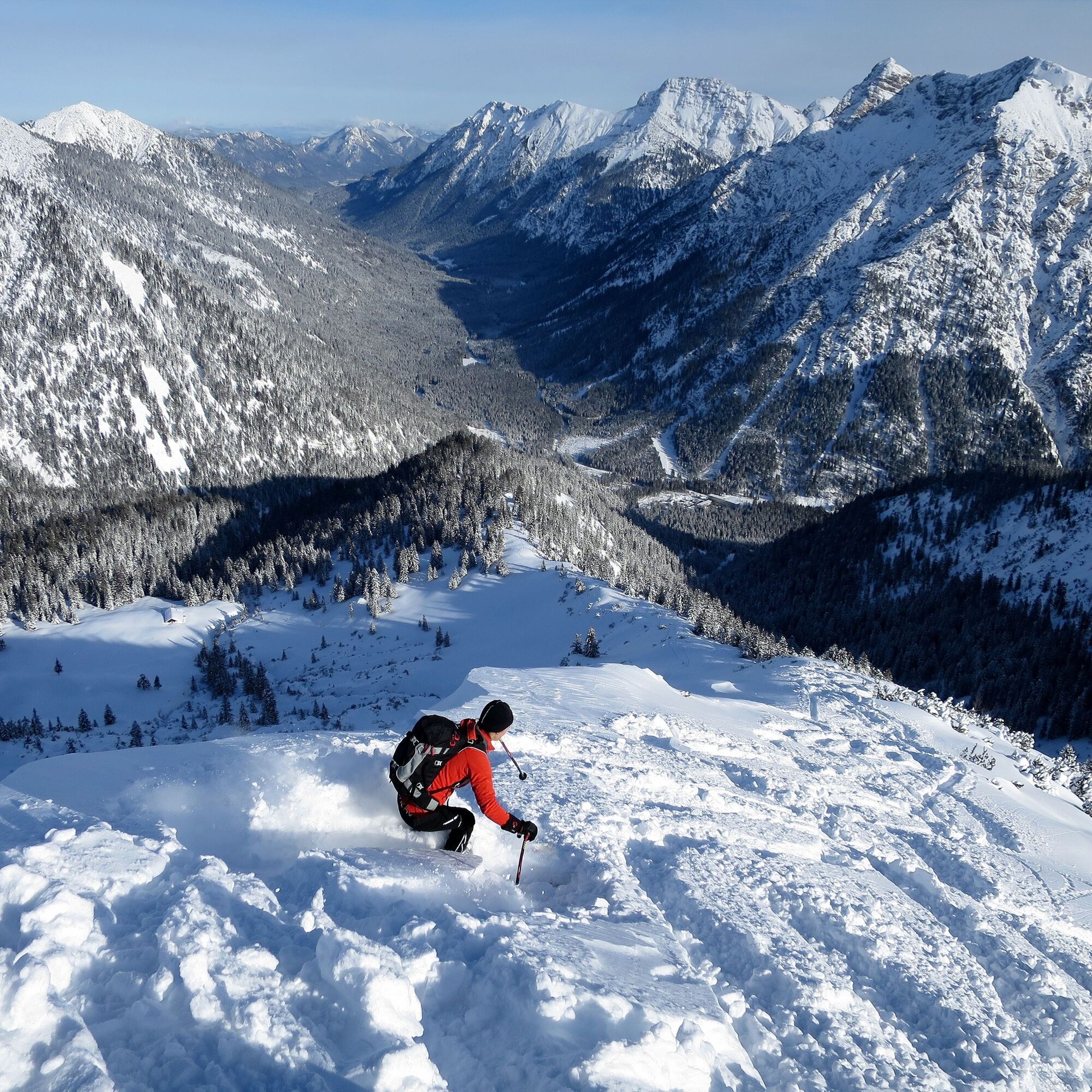
Behind the Ammerwald Hotel, follow the Schützensteig north-westward into the valley. Before a bridge, turn left and climb steeper through the forest onto the eastern ridge of the Ochsenälpleskopf. On the ridge, the ascent is initially gentler uphill, then steeper again, and in many switchbacks over the last 150 meters to the highest point.
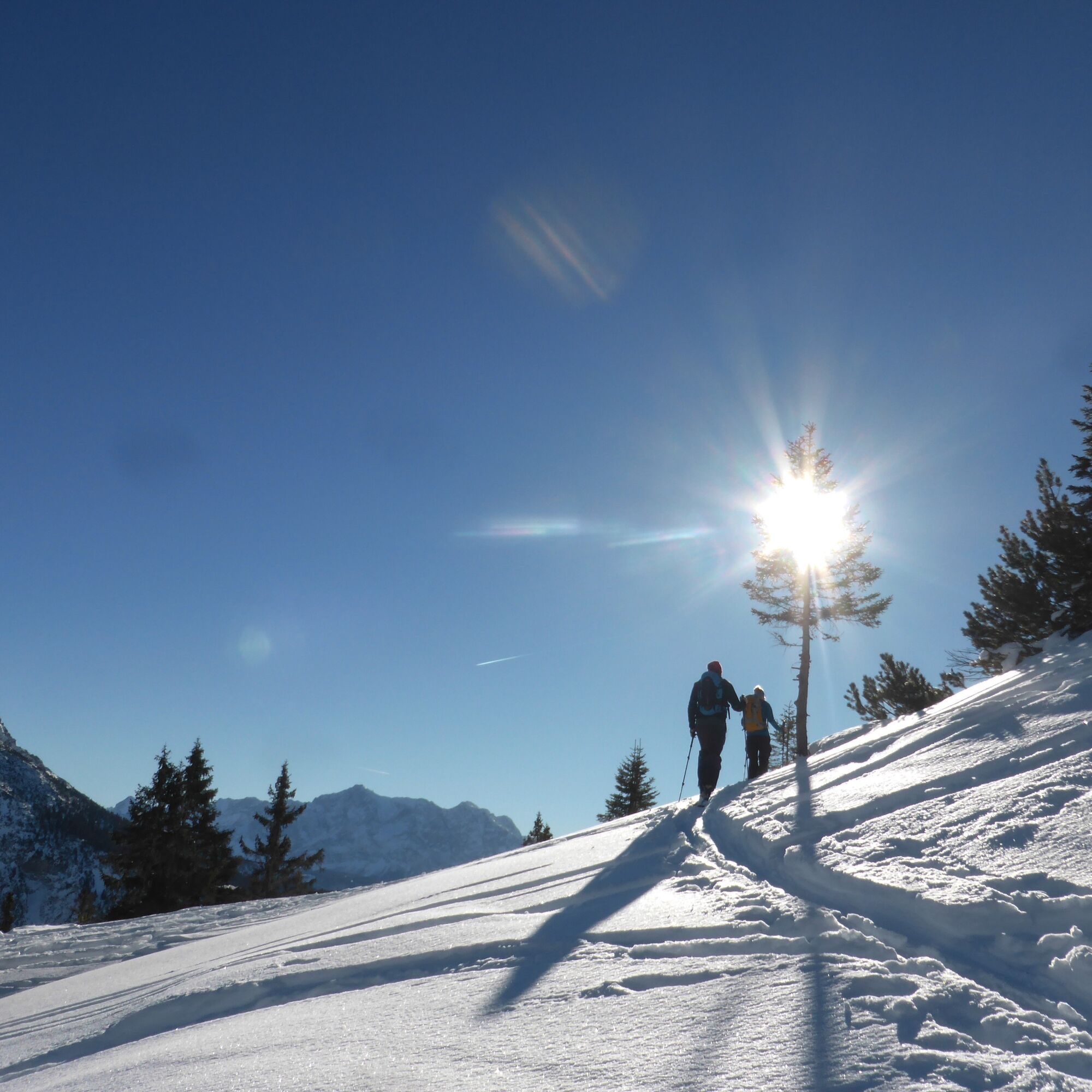
Your descent goes northeast and includes a short uphill section to the eastern ridge. Then down through a forest clearing towards the starting point.
Tip: If you have time, also visit Ettal Abbey with its impressive basilica.
Tak
With the perfect equipment, your personal winter day in the Ammergau Alps Nature Park will be unforgettable. You can rent suitable winter equipment such as crampons (spikes for hiking boots), hiking poles, snowshoes, sleds, or cross-country skis from our partners depending on the offer:
Tourist Info Bad Bayersoien
Address: Dorfstr. 45 - 82435 Bad Bayersoien
Tel.: +49 8845 7030 620
Drahtesel Rental Lukas Spindler/ Sporthaus Mühlstraße
Address: Theaterstraße 2 - 82487 Oberammergau
Tel.: +49 172 7228493
www.sport-muehlstrasser.de
www.bikeverleih-oberammergau.de
Sportzentrale Papistock
Address: Bahnhofstraße 6a, 82487
Tel.: +49 8822 4178
www.sportzentrale-papistock.de
Please ALWAYS observe the avalanche warning report: www.lawinenwarndienst-bayern.de
In an emergency, please contact the nearest rescue control center. Regardless of location, you can reach them nationwide in Germany by dialing 112.
From Oberammergau/Ettal via Graswang and Linderhof towards Plansee.
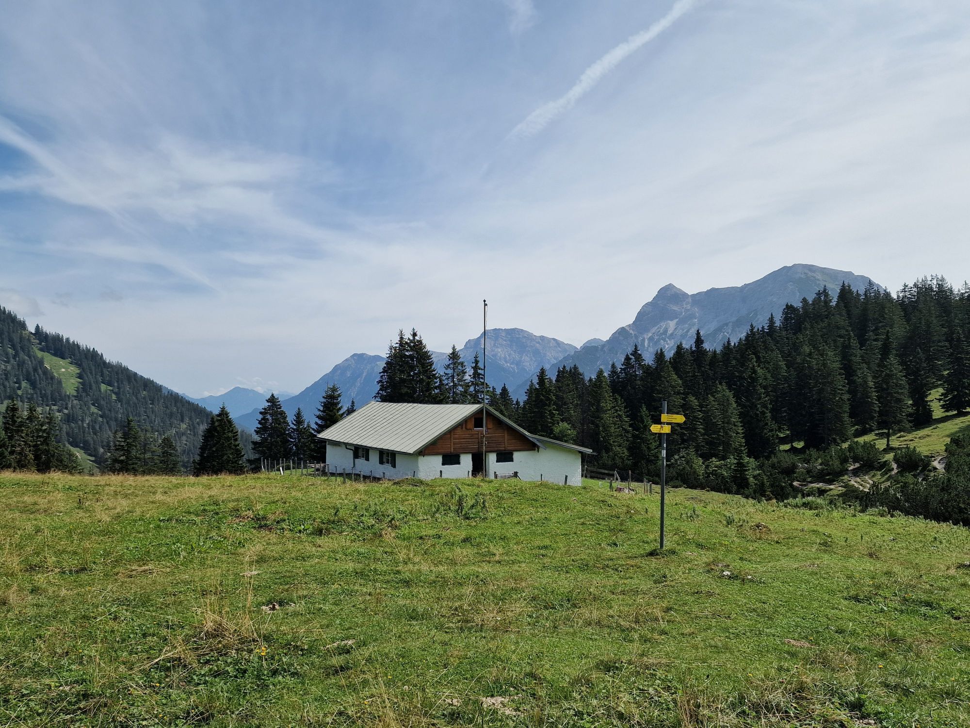
Starting point: Ammerwald Hotel
No public transport
Guests of the Ammergau Alps region can use buses and trains free of charge with the electronic guest card or the KönigsCard
e-car sharing in the Ammergau Alps Nature Park
Parking lot Alte Grenzstation, Ammerwald
Parking lot is free of charge
Parking duration: no time limit

Popularne wycieczki w okolicy
-
4,2
Cultural trail Schutzengelweg
średniWędrówka 5,13 km -
4,5
Circular hike Dreh- and Rohrkopfhütte
światłoWędrówka 8,76 km -
4,8
Thaneller
średniWędrówka 4,90 km -
3,6
Rundwanderung Plansee
średniWędrówka 9,80 km -
4,6
Rundwanderweg um den Eibsee
światłoWędrówka 6,89 km -
4,5
Traumhafte Panorama Plansee-Umrundung
światłoWędrówka 13,8 km -
4,6
Hochplatte
średniWędrówka 10,4 km -
4,3
Schloß Neuschwanstein und Schwanensee Schwangau, Bayern
średniWędrówka 9 km -
4,9
Tegelberg | Branderschrofen | Neuschwanstein
średniWędrówka 14,8 km -
4,6
Reutte Urisee / Dürrenbergalm / Koflerjoch
światłoWędrówka 10,3 km

Wędrówki i tropienie


Nie przegap ofert i inspiracji na następne wakacje
Twój adres e-mail została dodana do listy mailingowej.