







Ski tour to the ski hut Compedal
Above Thal, situated on the sunny side of Pustertal, the Compedal ski chalet is concealed (1920m) with its sledge run. This ski tour is ideal for beginners and the more leisurely. Calling in at the ski...
Above Thal, situated on the sunny side of Pustertal, the Compedal ski chalet is concealed (1920m) with its sledge run. This ski tour is ideal for beginners and the more leisurely. Calling in at the ski chalet provides a cosy end to the activity. The starting point of the ski tour is the hamlet Bichl on the Pustertaler Höhenstrasse. After the first curve we leave the forest road to the right and walk uphill through the forest to the Compedal ski chalet, repeatedly crossing the forest road which we can also follow.

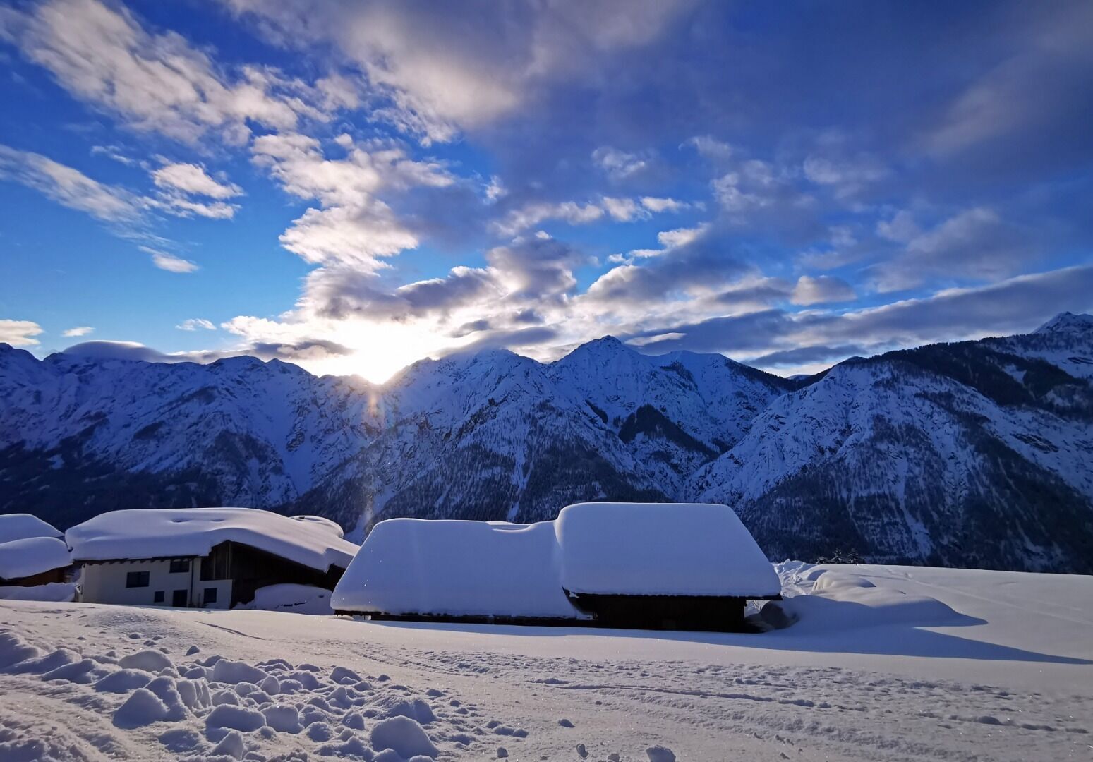
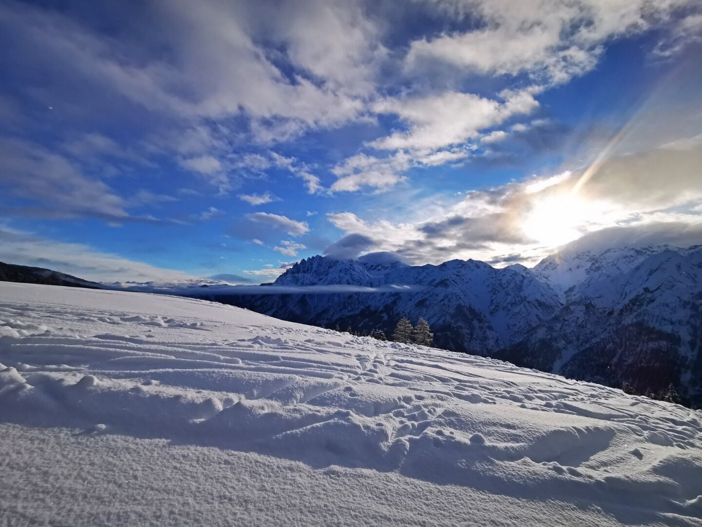
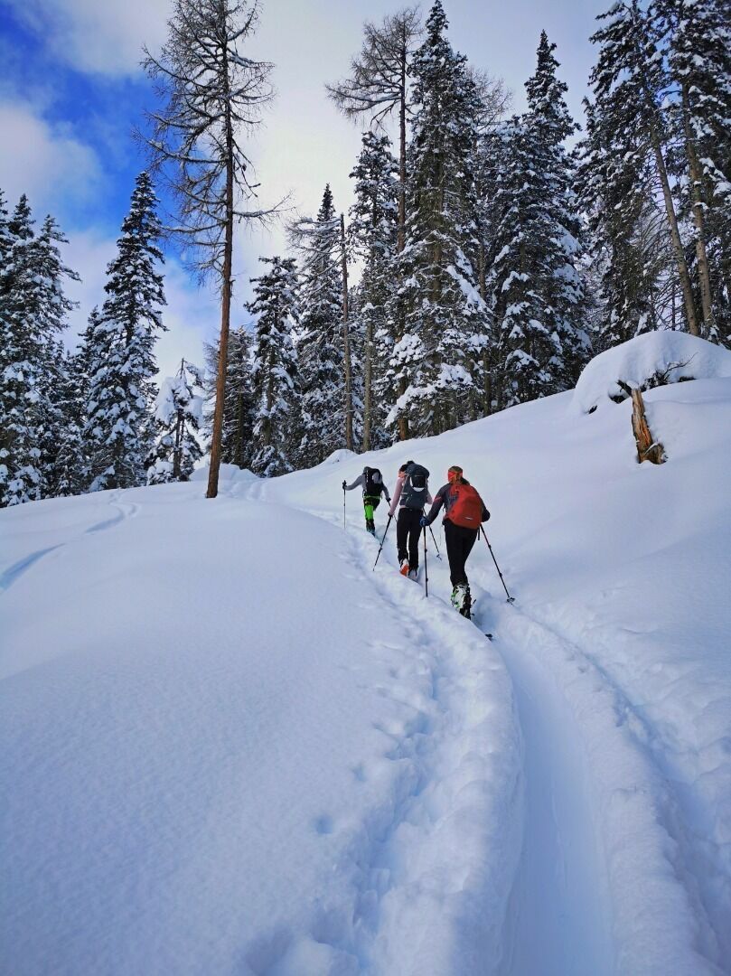

From Lienz to Thal, turn left and drive to the Assling Game Park, continue to the Bichl district and then to the Bichl car park.
Take the bus to the bus stop "Assling Bichl".
Bichl car park
Popularne wycieczki w okolicy
- 4,7
Karlsbader Hütte über Rudl-Eller-Weg
ciężkiWędrówka 5,10 km - 4,8
Lienzer Dolomiten-Lasertörl
średniWędrówka 13,2 km - 4,7
Karlsbader Hütte
średniMountainbike 13,4 km - 4,0
Karlsbader Hütte - Lienzer Dolomiten
Wędrówka 8 km - 3,8
2019 29ago Hochschoberhütte
średniWędrówka 4,54 km - 4,3
Connyalm (2.070 m)
Wędrówka 6,36 km - 5,0
Porzehütte (1.942 m)
światłoWędrówka 9,01 km - 5,0
Tuffbad - Guggenberger Sattel - Samalm - Tuffbad
średniWędrówka 12,2 km - 4,7
Klammbrückl - Kerschbaumeralm - Spitzkofel
ciężkiWędrówka 8,71 km - 4,4
Böses Weibele - Pustertaler Höhenweg
średniWędrówka 13,2 km
Wędrówki i tropienie


Nie przegap ofert i inspiracji na następne wakacje
Twój adres e-mail została dodana do listy mailingowej.





