Kreuzspitze
światło
Nawigacja
Nawigacja
Pobierz tę trasę na swój telefon komórkowy
Kreuzspitze
światło
Wycieczka narciarska
5,33
km
Zeskanuj kod QR i rozpocznij nawigację w aplikacji bergfex.

Wędrówki i tropienie


Kreuzspitze
światło
Odległość
5,33
km
Czas trwania
03:00
h
Ascent
975
hm
Poziom morza
1 636 -
2 612
m
Ścieżka do pobrania
Kreuzspitze
światło
Wycieczka narciarska
5,33
km
Zdjęcia naszych użytkowników
-

 © J. St. 1Utworzono dnia 01.02.2026
 -
 © ApfelblüteUtworzono dnia 04.07.2024
 -
 © ApfelblüteUtworzono dnia 04.07.2024
 -
 © ApfelblüteUtworzono dnia 04.07.2024
 -

 © steidl.evelinUtworzono dnia 18.10.2025
 -
 © steidl.evelinUtworzono dnia 18.10.2025
 -

 © Walter KöllnerUtworzono dnia 20.09.2025
 -
 © Walter KöllnerUtworzono dnia 20.09.2025
 -
 © Walter KöllnerUtworzono dnia 20.09.2025
 -
 © Walter KöllnerUtworzono dnia 20.09.2025
 -
 © Walter KöllnerUtworzono dnia 20.09.2025
 -
 © Walter KöllnerUtworzono dnia 20.09.2025
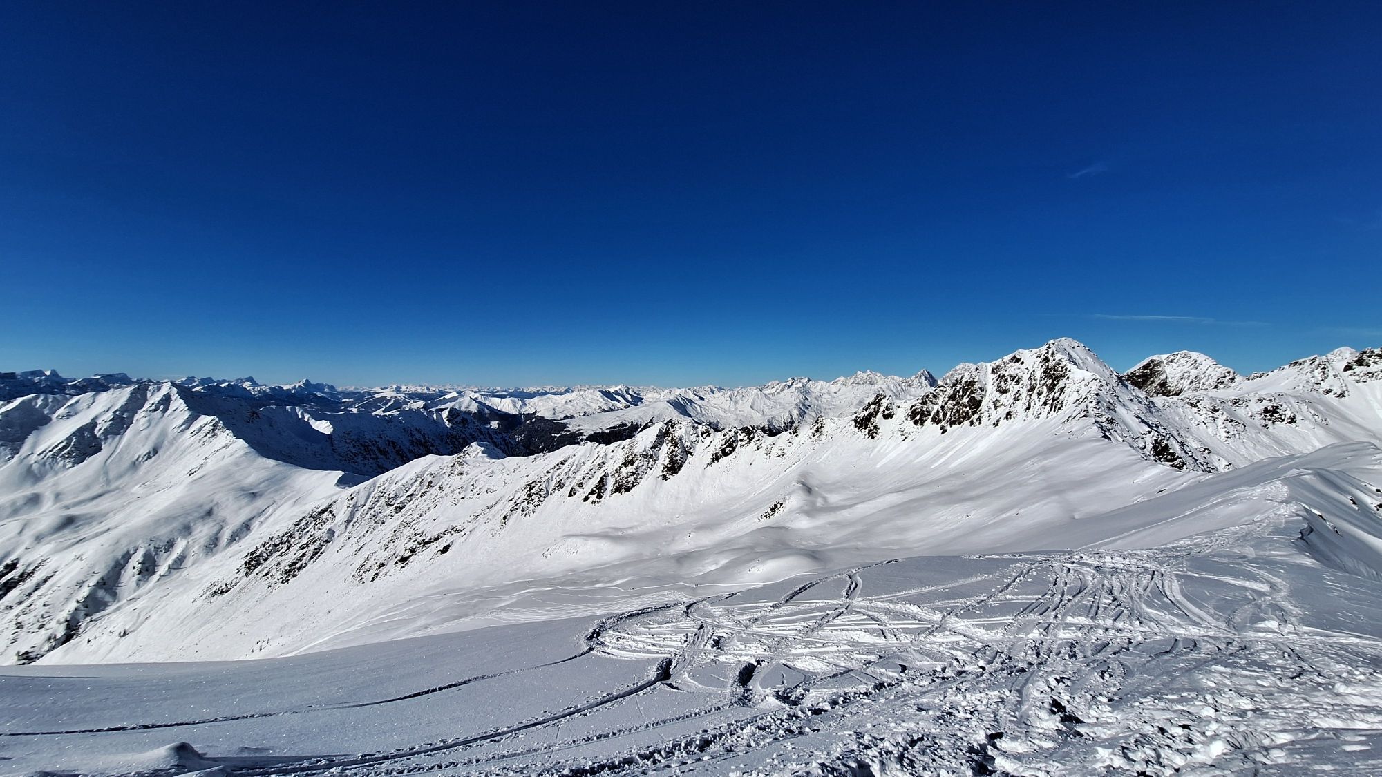
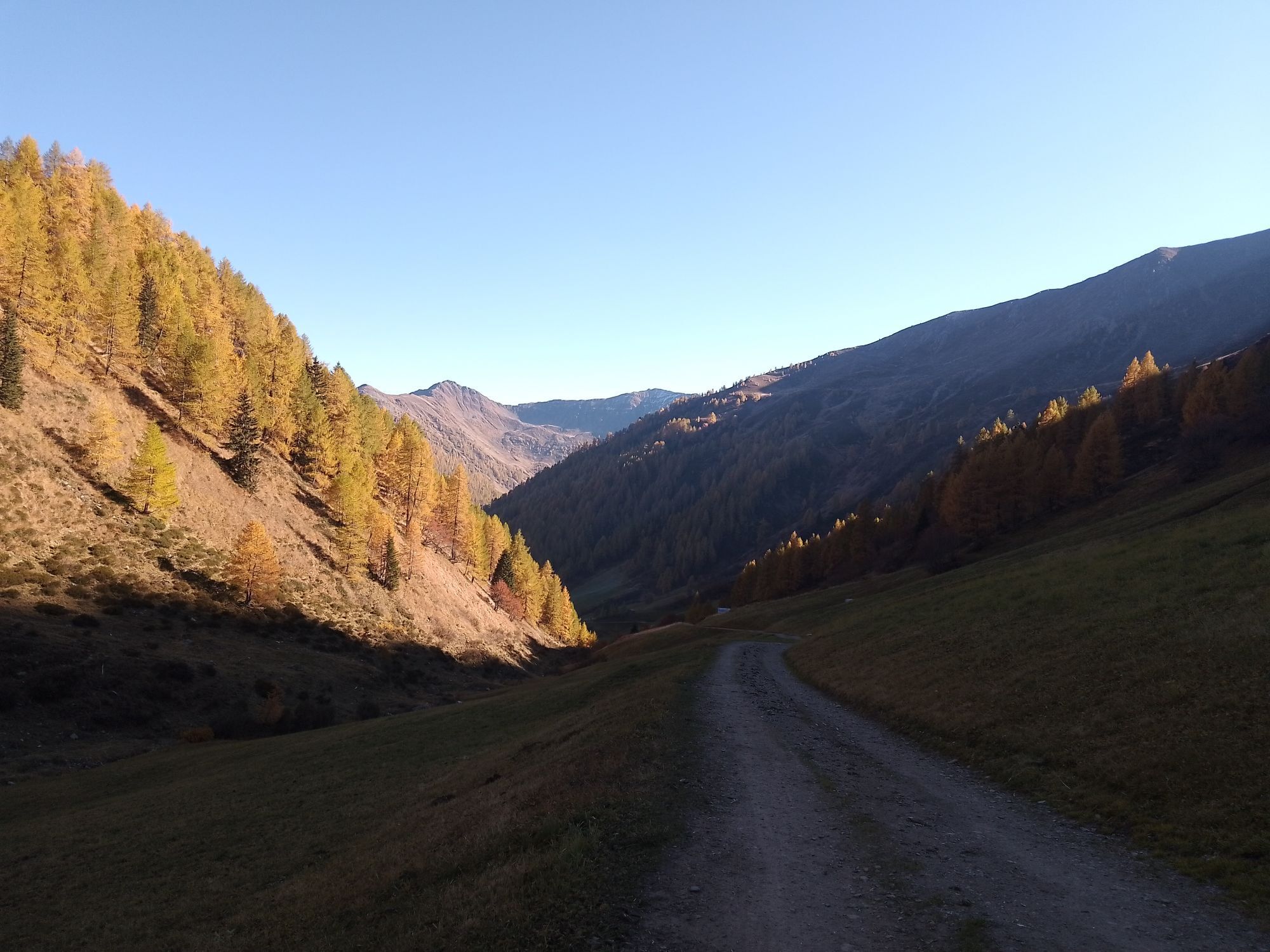

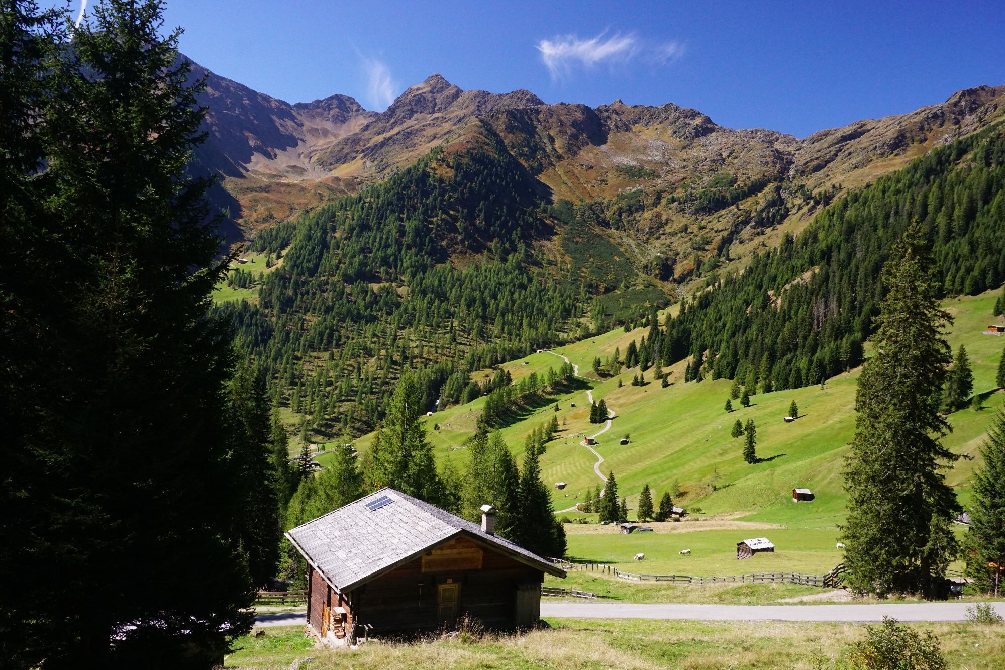
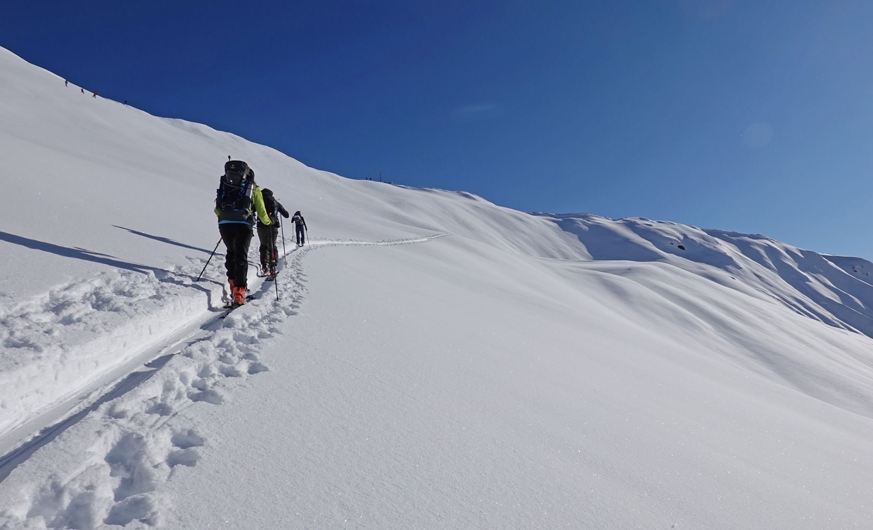
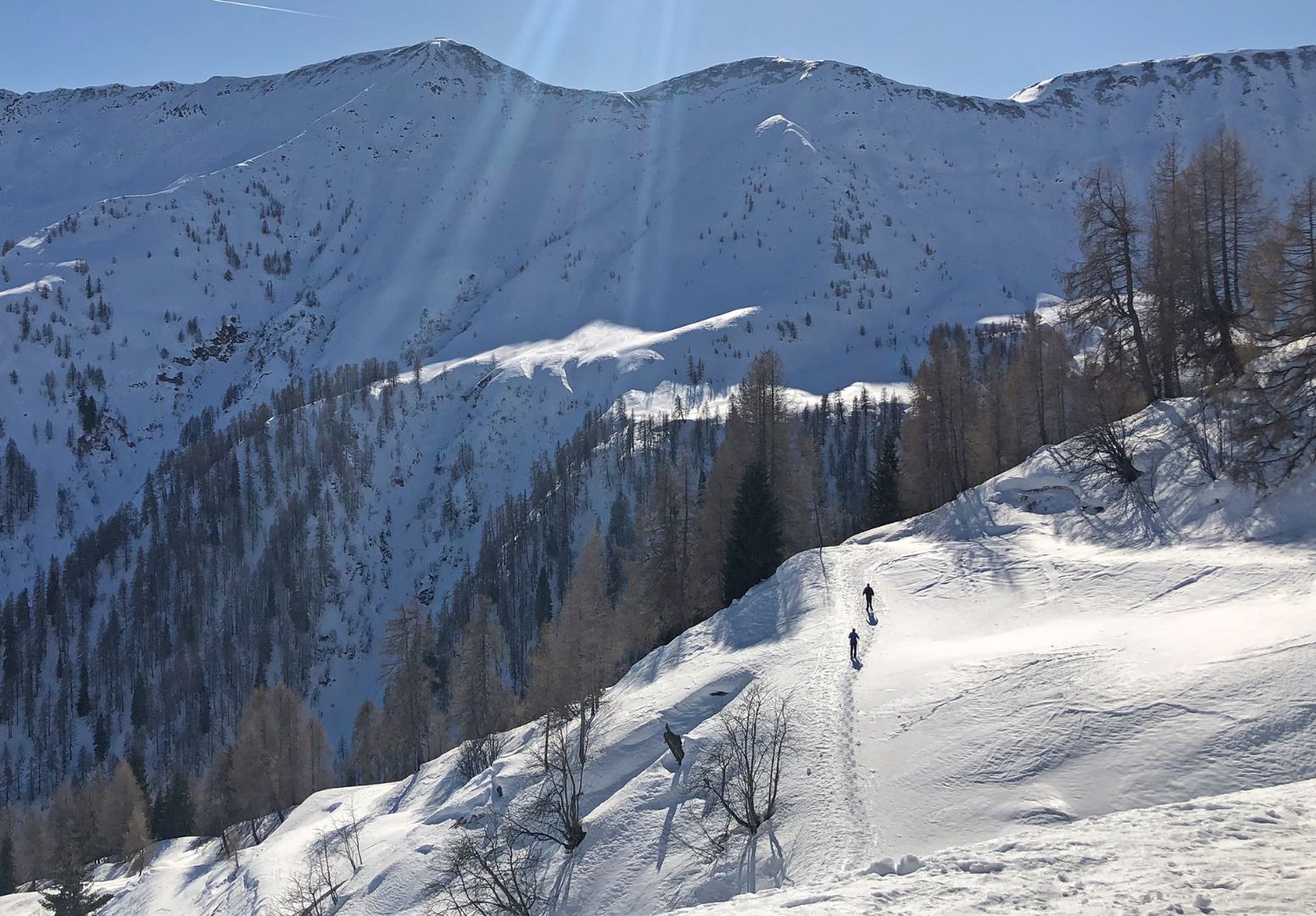
On the road to Innervillgraten the Kriezspitze, with its steep flanks, catches the eyes of ski tourers from quite a distance. It is probably one of the most popular tour destinations in Villgraten Tal...
Opis
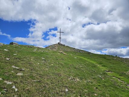
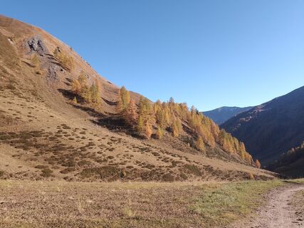
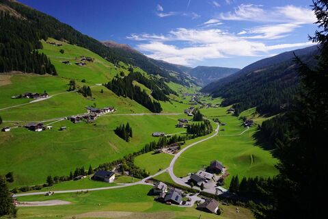
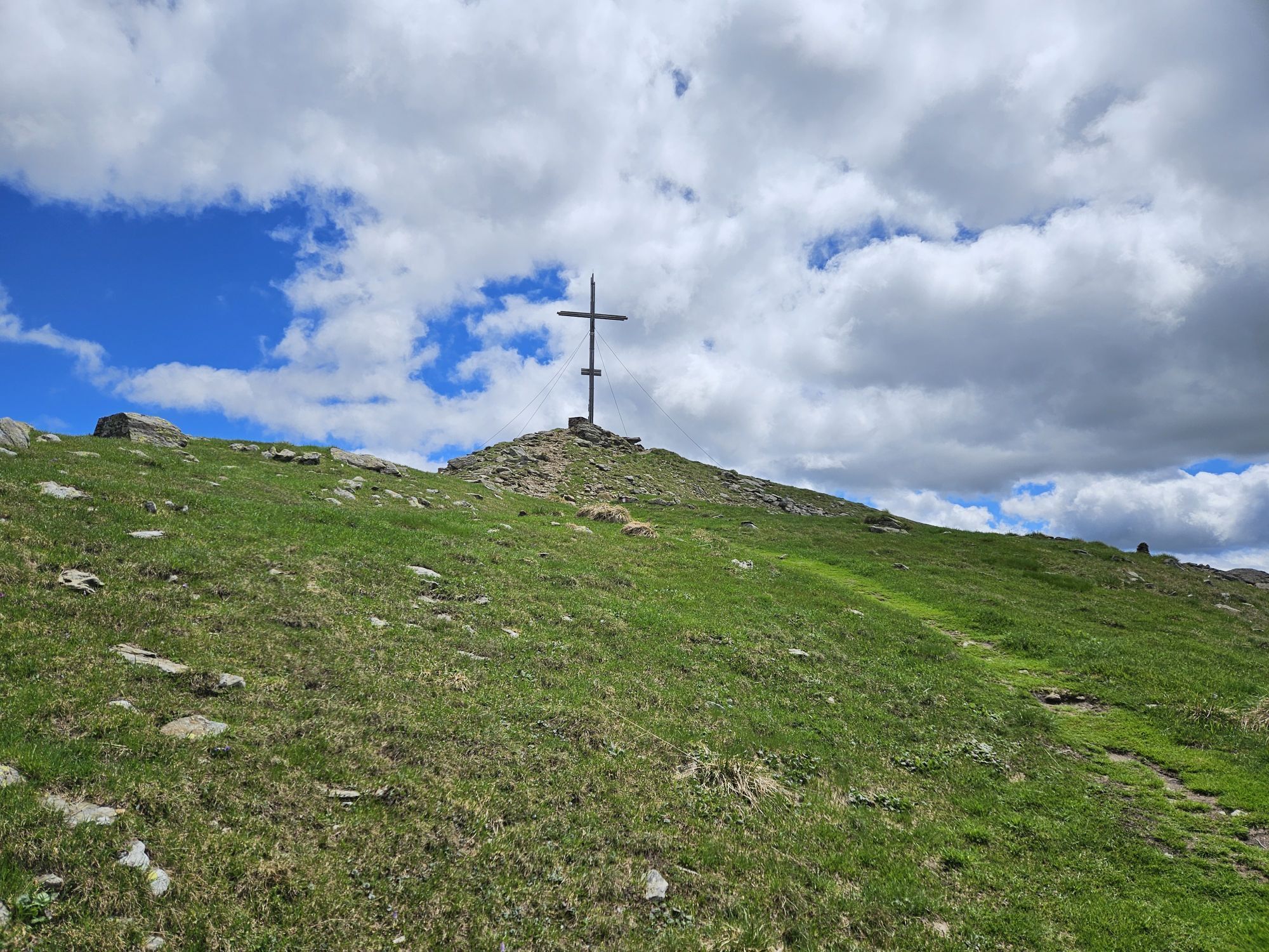
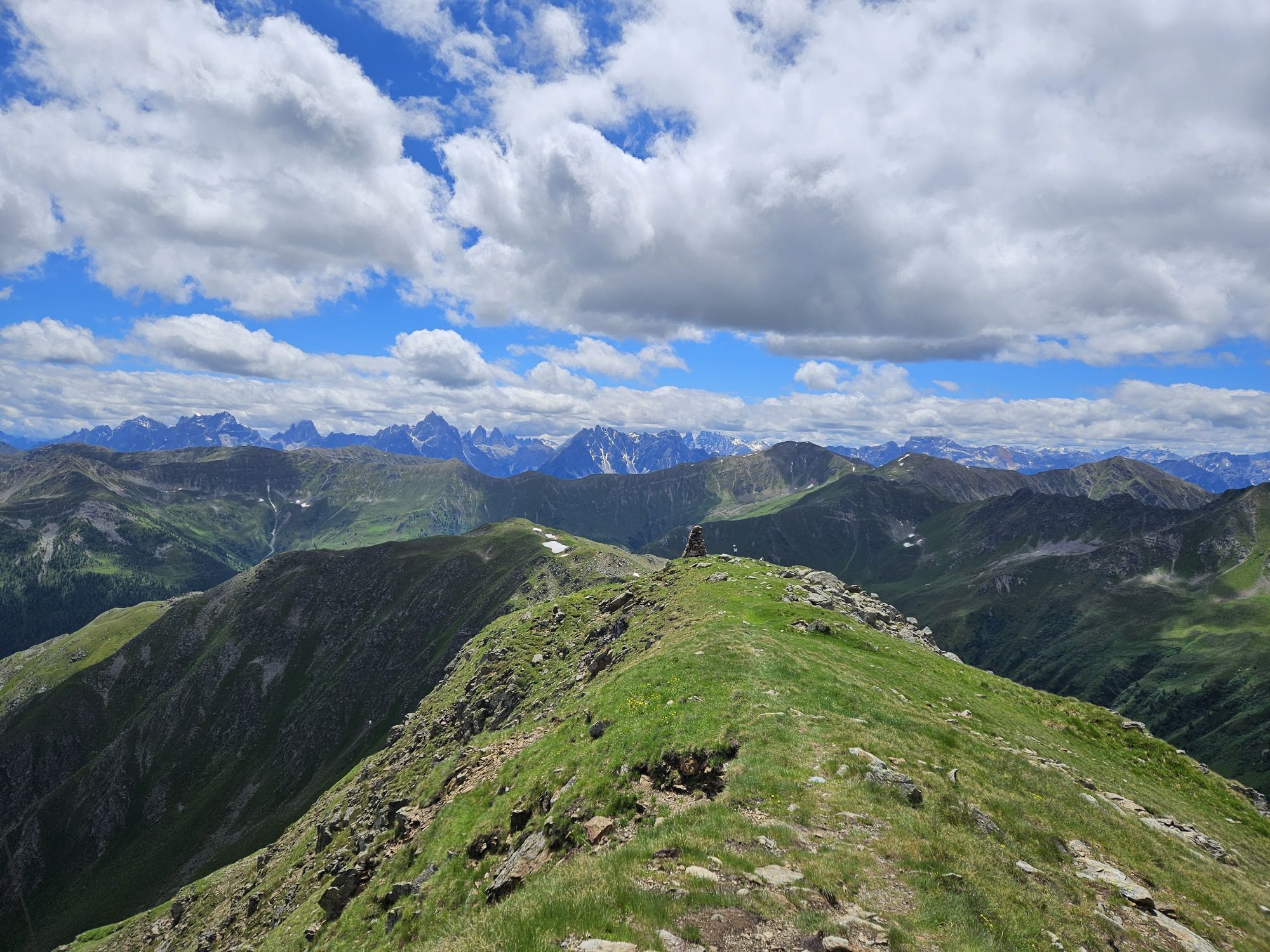
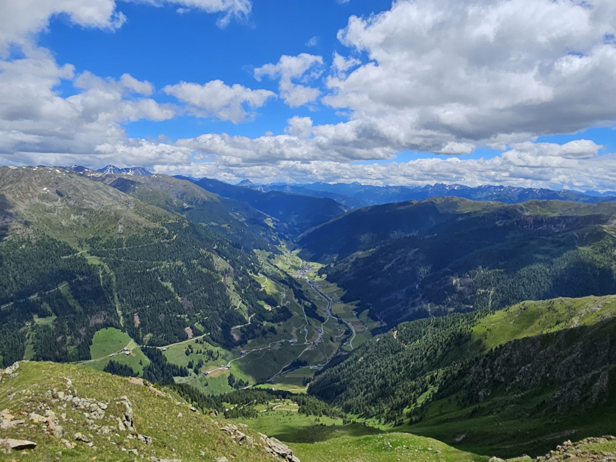
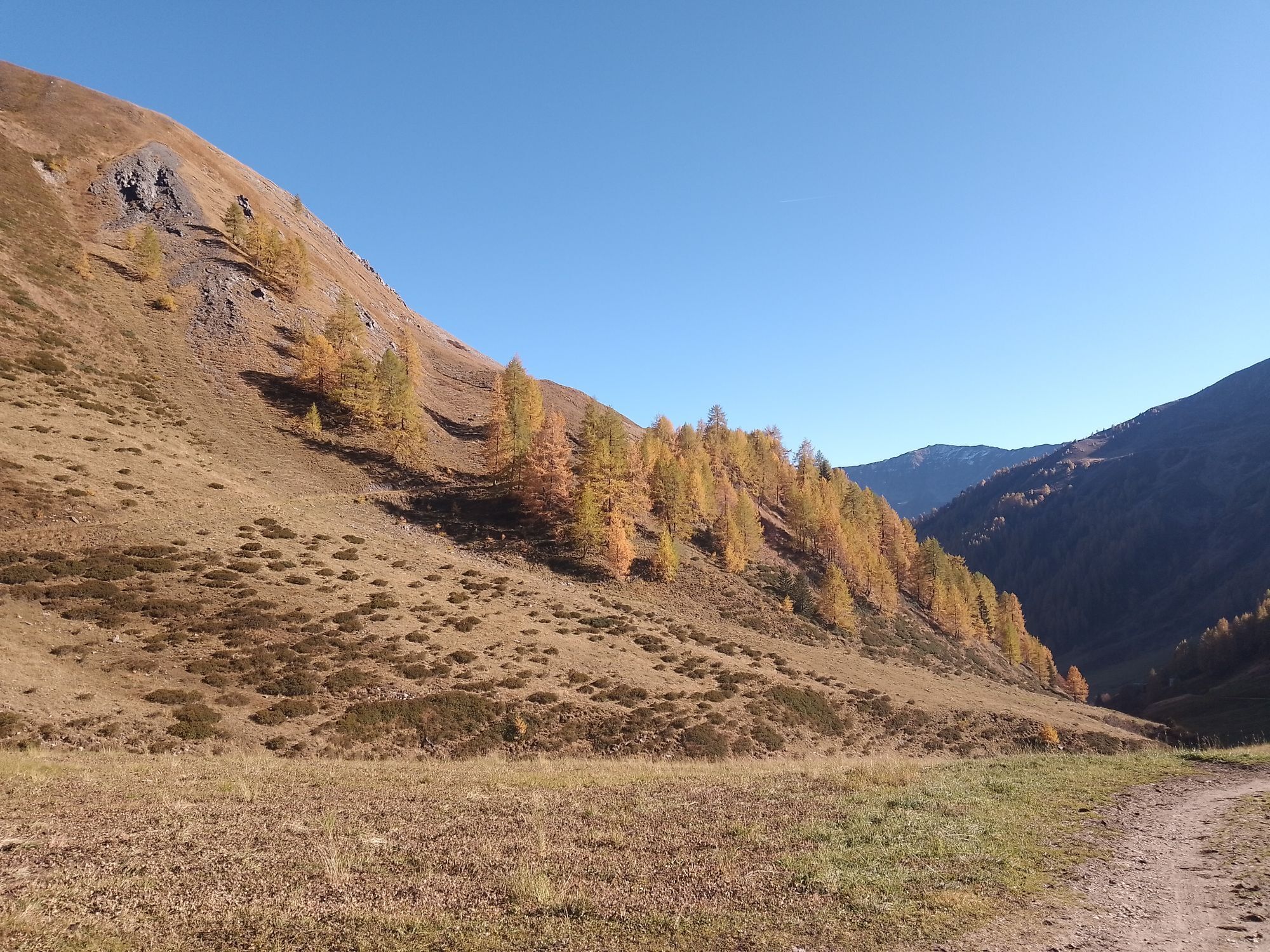
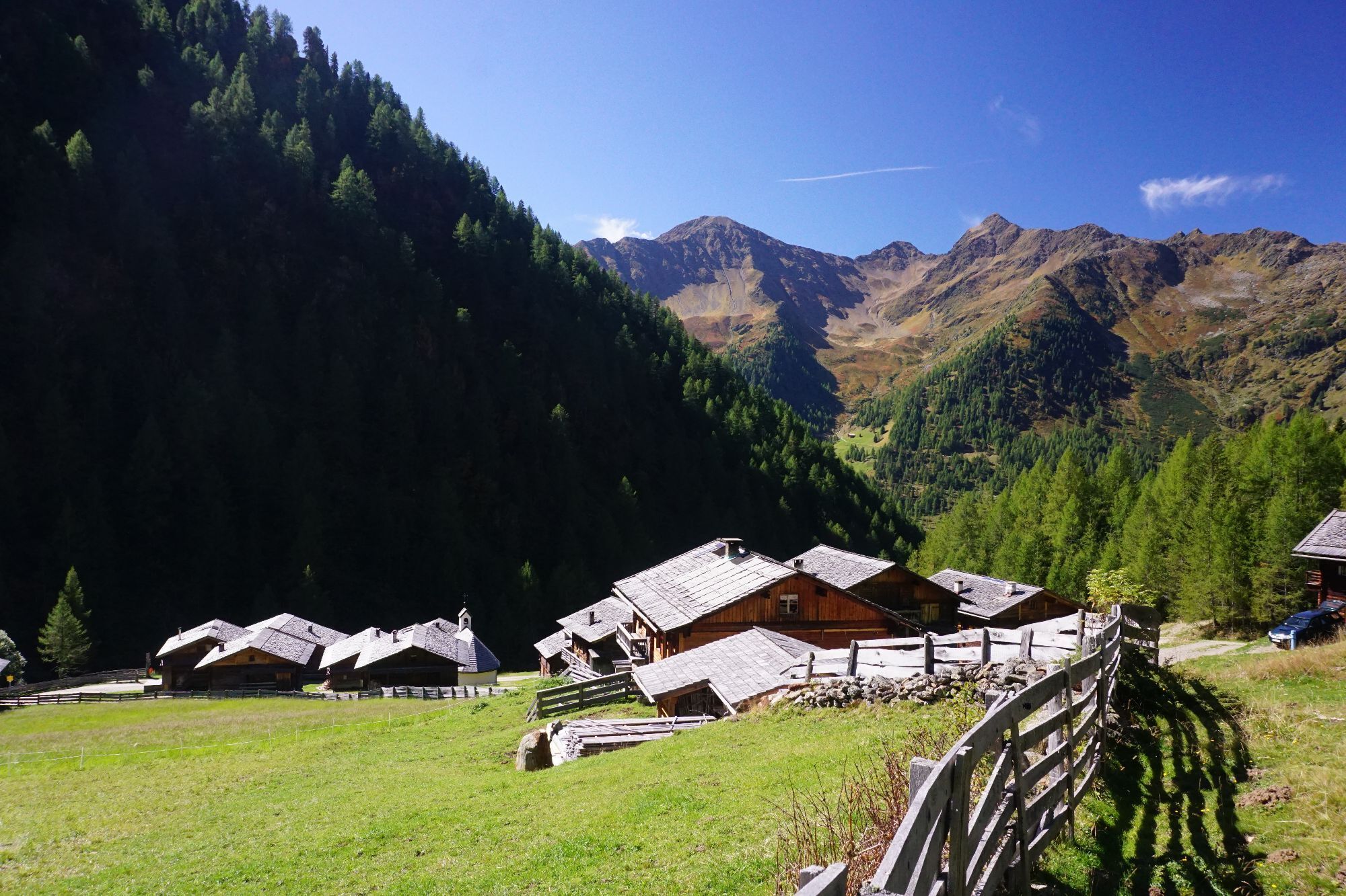
On the road to Innervillgraten the Kriezspitze, with its steep flanks, catches the eyes of ski tourers from quite a distance. It is probably one of the most popular tour destinations in Villgraten Tal and when conditions are appropriate can be tackled throughout the winter. Starting point is the little parish of Kalkstein (1640 m), around five kilometres after Innervillgraten. At the often heavily used car park you get an inkling even at the start that the seclusion of the mountains in this area is not far off. Initially we follow the trail through a larch forest, which branches off after five minutes. This is where you have to make your first decision. Straight into the valley lovelier, leisurely tour options open up with the Gaishörndl and the Toblacher Pfannhorn, while we bear right into Rosstal and head into the valley to Lipperalm. Having reached the head of the valley, with the Kalksteinjöchl, a popular crossing to South Tirol opens up, in earlier times busily frequented by smugglers, and which in the intervening period is nothing more than another tour option for summer and winter (pay attention to the signposts). Via the gentle gully and trough terrain we now climb slowly and after three hours get to the summit with its wooden cross, which can be seen from quite a distance. Ideally follow the descent a bit to the left of the ascent track via lovely gullies and troughs, where great snow conditions are often to be had.
Additional ski tour tips can be obtained in the ski tour guides by Thomas Mariacher. These are available here: http://www.grafikzloebl.at/verlag/buecher/
Trasa
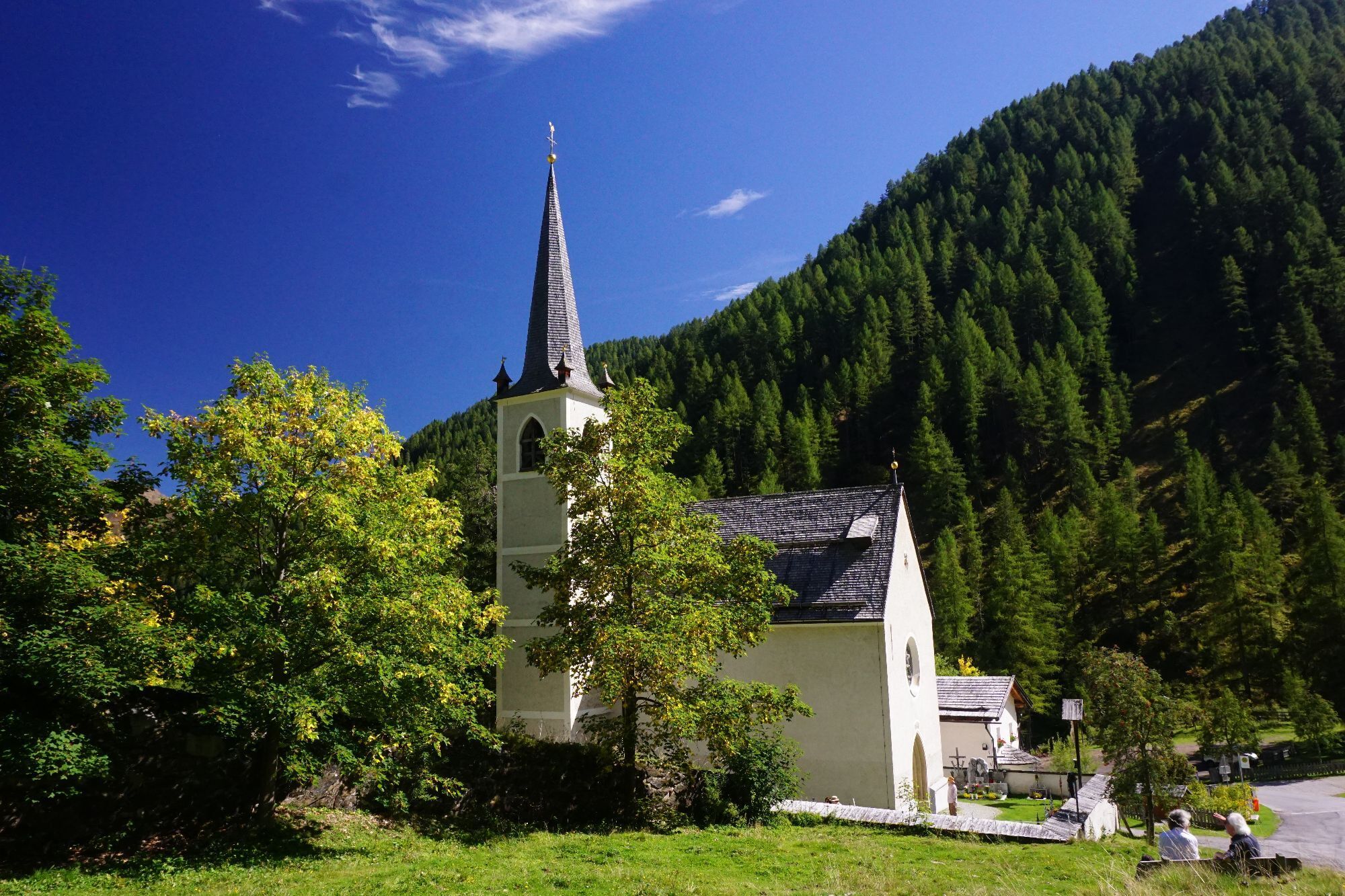
Maria Schnee
(1 638 m)
Miejsce kultu
0,0 km
Alfenalm
(1 703 m)
Rozliczenie
0,2 km
Kreuzspitze/Eggeberg
(2 624 m)
Szczyt
5,3 km
Trasa
Kreuzspitze
światło
Wycieczka narciarska
5,33
km
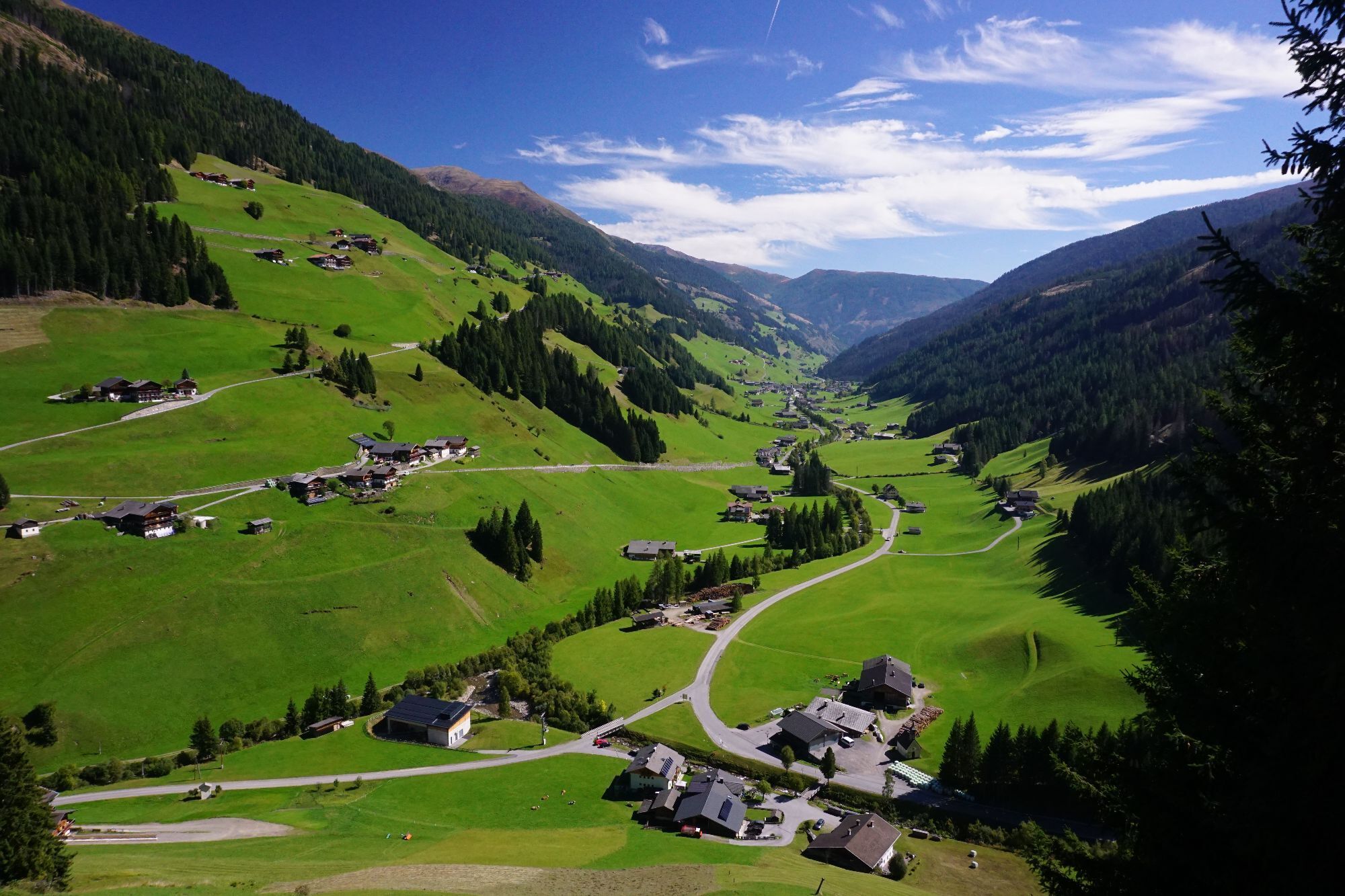
Kalkstein
(1 630 m)
Rozliczenie
0,0 km
Maria Schnee
(1 638 m)
Miejsce kultu
0,0 km
Alfenalm
(1 703 m)
Rozliczenie
0,2 km
Kreuzspitze/Eggeberg
(2 624 m)
Szczyt
5,3 km
Informacje o przyjeździe
Przybycie
Mit dem Auto bis zum Weiler Kalkstein
Transport publiczny
Mit dem Bus bis zu Haltestelle "Innervillgraten Kalkstein"
Parking
Parkplatz bei der Bad'l Alm
Wyceny
1 Komentarz
Heiner Temming
22. sie. 2025
Kalkstein-Kreuzspitze
Der Weg bis zum Talschluss über den geschotterten Wirtschaftsweg ist ein wenig eintönig, es zieht sich, aber am Ziel ist alles vergessen! Die tolle Aussicht entschädigt die Strapazen.
Kamery internetowe z trasy

Popularne wycieczki w okolicy
-
4,8
Antholzer See - Steinzger Alm
średniWędrówka 7,48 km -
4,8
Seerunde
światłoWędrówka 2,66 km -
5,0
Rote Wand
średniWycieczka wysokogórska 12,0 km -
4,8
Sillianer Hütte 2.447 m
średniWędrówka 16,8 km -
4,9
Rund um den Antholzer See
światłoWędrówka 4,27 km -
4,7
Von Kalkstein auf das Toblacher Pfannhorn (2.663 m) und Marchkinkele
średniWędrówka 14,2 km -
4,2
Seespitze
średniWędrówka 13,7 km -
3,9
Helm und Sillianer Hütte
światłoWędrówka 8,17 km -
5,0
Toblacher Pfannhorn
światłoWycieczka narciarska 11,0 km -
5,0
Trojertal, Hintere Trojeralm
światłoWędrówka 8,97 km

Wędrówki i tropienie

Ponad 550.000 propozycji wycieczek, szczegółowe mapy i intuicyjny planer tras sprawiają, że aplikacja jest niezbędna dla wszystkich entuzjastów przyrody.

Nie przegap ofert i inspiracji na następne wakacje
Zapisz się do newslettera
Błąd
Wystąpił błąd. Spróbuj ponownie.
Dziękujemy za rejestrację
Twój adres e-mail została dodana do listy mailingowej.
Wycieczki po całej Europie
Austria
Szwajcaria
Niemcy
Włochy
Słowenię
Francja
Holandia
Belgia
Polska
Liechtenstein
Czechy
Słowacja
Hiszpania
Chorwacja
Bośnia i Hercegowina
Luksemburg
Andorra
Portugalia
Islandia
Wielka Brytania
Irlandia
Grecja
Albania
Macedonia Północna
Malta
Norwegia
Czarnogóra
Mołdawia
Kosowo
Węgry
San Marino
Rumunia
Estonia
Łotwa
Białoruś
Cypr
Litwa
Serbia
Bułgaria
Monako
Dania
Szwecja
Finlandia