






Hinterer Spiegelkogel

With its impressive northern face, the Hinterer Spiegelkogel offers a demanding and interesting spring ski route for experienced mountaineers. The ascent from Vent follows the same path as to Ramolkogel...
With its impressive northern face, the Hinterer Spiegelkogel offers a demanding and interesting spring ski route for experienced mountaineers. The ascent from Vent follows the same path as to Ramolkogel up to the Spiegelferner. However, the glacier basin of the Spiegelferner is now crossed in a southern direction, up to a hollow and the Spiegelkogel (3,214 m). Just left of the notch onto the firn-covered western ridge of the summit and over this ridge to the rocky ridge. Easily over the ridge to the summit.

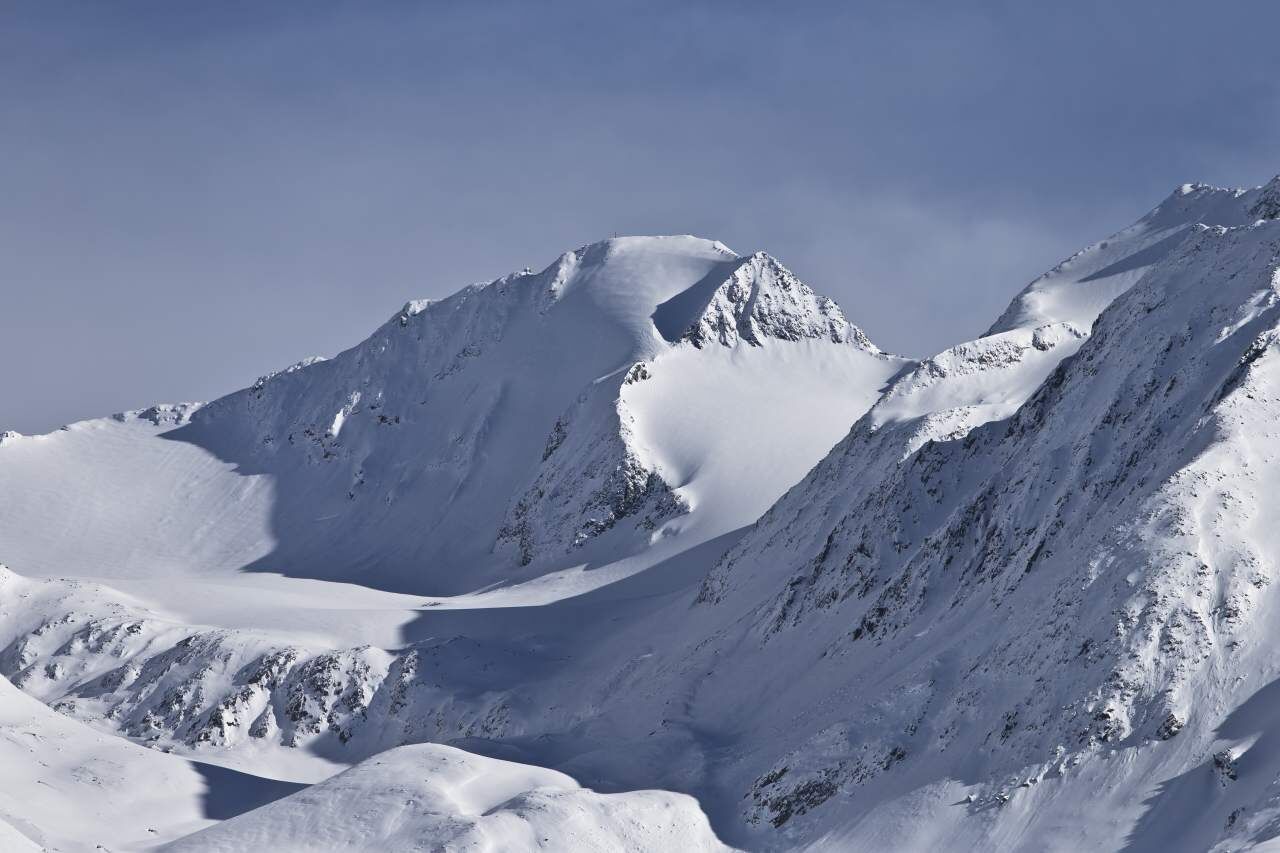
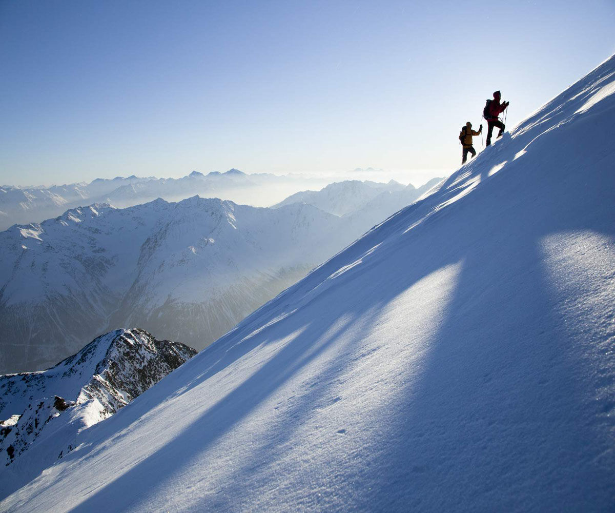

With its impressive northern face, the Hinterer Spiegelkogel offers a demanding and interesting spring ski route for experienced mountaineers. The ascent from Vent follows the same path as to Ramolkogel up to the Spiegelferner. However, the glacier basin of the Spiegelferner is now crossed in a southern direction, up to a hollow and the Spiegelkogel (3,214 m). Just left of the notch onto the firn-covered western ridge of the summit and over this ridge to the rocky ridge. Easily over the ridge to the summit.
Recommended ski touring equipment
The "standard ski tour equipment" consists of alpine touring skis with touring bindings, telescopic poles, climbing skins, crampons, digital avalanche transceiver, avalanche shovel, avalanche probe, first aid kit, and a mobile phone. A "complete glacier equipment" consists of a harness, two differently sized prusik loops or ascenders, two HMS carabiners, an ice axe, crampons, and a rope. A backpack with appropriate contents should be carried, including spare clothing, sun protection, cold protection, food, and sufficient drinking water! For hut overnight stays, do not forget toiletries and a hut sleeping bag!
Difficulty rating
Easy: Easy, short to moderately long routes with ascents that do not exceed 25° or only for short periods. Medium: Medium difficulty, moderately long to long routes with ascents that do not exceed 35° or only briefly. Difficult: Difficult, long to very long routes with ascents reaching 40° or more, and climbing sections up to grade II (UIAA).Avalanche danger scale
1 (LOW)
An avalanche trigger is only possible with a heavy additional load on very few, extreme steep slopes. No spontaneous avalanches (so-called slides) are expected. Generally safe conditions.
2 (MODERATE)
An avalanche trigger is likely with a heavy additional load especially on the indicated steep slopes. Larger avalanches are not expected. The snow cover is generally well consolidated except for some steep slopes. Careful route selection near the indicated steep slopes and exposures.
3 (CONSIDERABLE)
An avalanche trigger is already likely with little additional load mainly on the indicated steep slopes. Occasionally, some medium, but also large avalanches can occur spontaneously. The snow cover on many steep slopes is only moderately to weakly consolidated. Experience in avalanche assessment is necessary. Avoid indicated steep slopes and exposures as much as possible.
4 (HIGH)
An avalanche trigger is already possible with little additional load mainly on the indicated steep slopes. Occasionally, many medium and also large avalanches occur. On many steep slopes, the snow cover is only weakly consolidated. Route selection should be limited to moderately steep terrain and avalanche runout zones should be considered. A lot of experience in avalanche assessment is necessary.
5 (VERY HIGH)
Numerous large avalanches, also in moderately steep terrain, are expected spontaneously. At this warning level, safe operation in ski areas is no longer possible. The snow cover is generally weakly consolidated and unstable. Avoid tours is recommended.
See also at lawine.tirol.gv.at
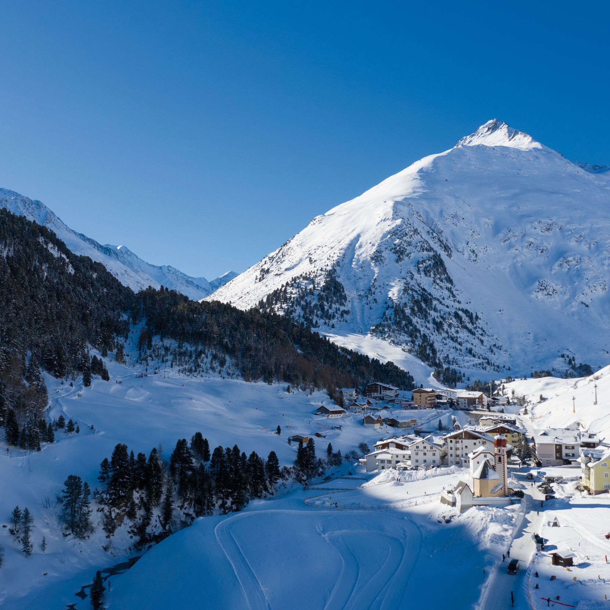
Vent is located in the west of Austria in the federal state of TIROL, in a southern side valley of the Inn valley – the ÖTZTAL. For your arrival by car, plan your optimal travel route from your home location using the online route planner: https://www.google.at/maps
Travel comfortably and safely by train to the Ötztal railway station. The final station or exit point is the ÖTZTAL station. Then you can conveniently and quickly continue with public transport or local taxis through the entire valley to your desired destination! The current bus schedule is available at: http://fahrplan.vvt.at
In the mountaineering village Vent, the following parking options are available.
- In summer, in front of the village (parking meter, coins or EC card only) and at the valley station of the chairlift (at the ticket counter of the cable cars)
- In winter, only at the valley station of the chairlift.
Cost: €5.00 per day/car
Ski touring rules
Observe the applicable regulations for all activities in nature and for route selection (e.g., wildlife protection areas, hunting restricted areas, reforestation zones, information boards, etc.) Respect quiet zones for wildlife and avoid feeding areas as well as loud noise Cross forest areas in winter only on approved paths and routes if possible, animals react very panicked to undetectable noise. Recognize the habitats of wildlife and avoid animals if possible. Observe wildlife only from a distance. Keep dogs on a leash; it is absolutely irresponsible to let dogs run free in the forest during the winter emergency period. Proper timing: start early enough and return before nightfall. In spring, you should be back at the hut by midday (avalanche danger) Never drive through reforestation and young growth areas.Ötztal Tourism assumes no liability for the listed routes and recommends taking a mountain guide. Glacier crossings are only possible with a rope and in a group.
Before starting a tour, inform the valley about your destination and expected return time. Carrying an avalanche transceiver is strongly recommended.
More information about ski touring in the Ötztal: https://www.oetztal.com/skitouren

Popularne wycieczki w okolicy
-
4,8
Vent - Kreuzspitze
Wędrówka 20,6 km -
4,3
Vorderkaser - Eishof / Texelgruppe
światłoWędrówka 4,83 km -
4,6
Vent - Wilder Mann - Breslauer Hütte - Stableinalm
średniWędrówka 7,25 km -
4,9
Pfossental - vom Vorderkaser auf die Stettinerhütte
średniWędrówka 23,7 km -
4,8
Kurzras - Schöne Aussicht - ins hintere Eis
średniWędrówka 13,0 km -
3,8
Breslauer Hut
średniWędrówka 4,75 km -
4,3
Vernagt-Stausee (Seerundgang)
światłoWędrówka 6,70 km -
4,6
Hochwilde - Pfelders
średniWycieczka wysokogórska 22,1 km -
4,4
Hochtour Wildspitze, 3.768m
średniWycieczka wysokogórska 9,75 km -
4,9
Seeber-See Rundweg
światłoWycieczki górskie 7,96 km
Wędrówki i tropienie


Nie przegap ofert i inspiracji na następne wakacje
Twój adres e-mail została dodana do listy mailingowej.





