







Hintere Schwärze
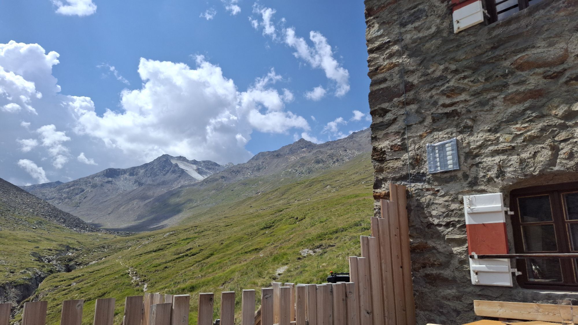
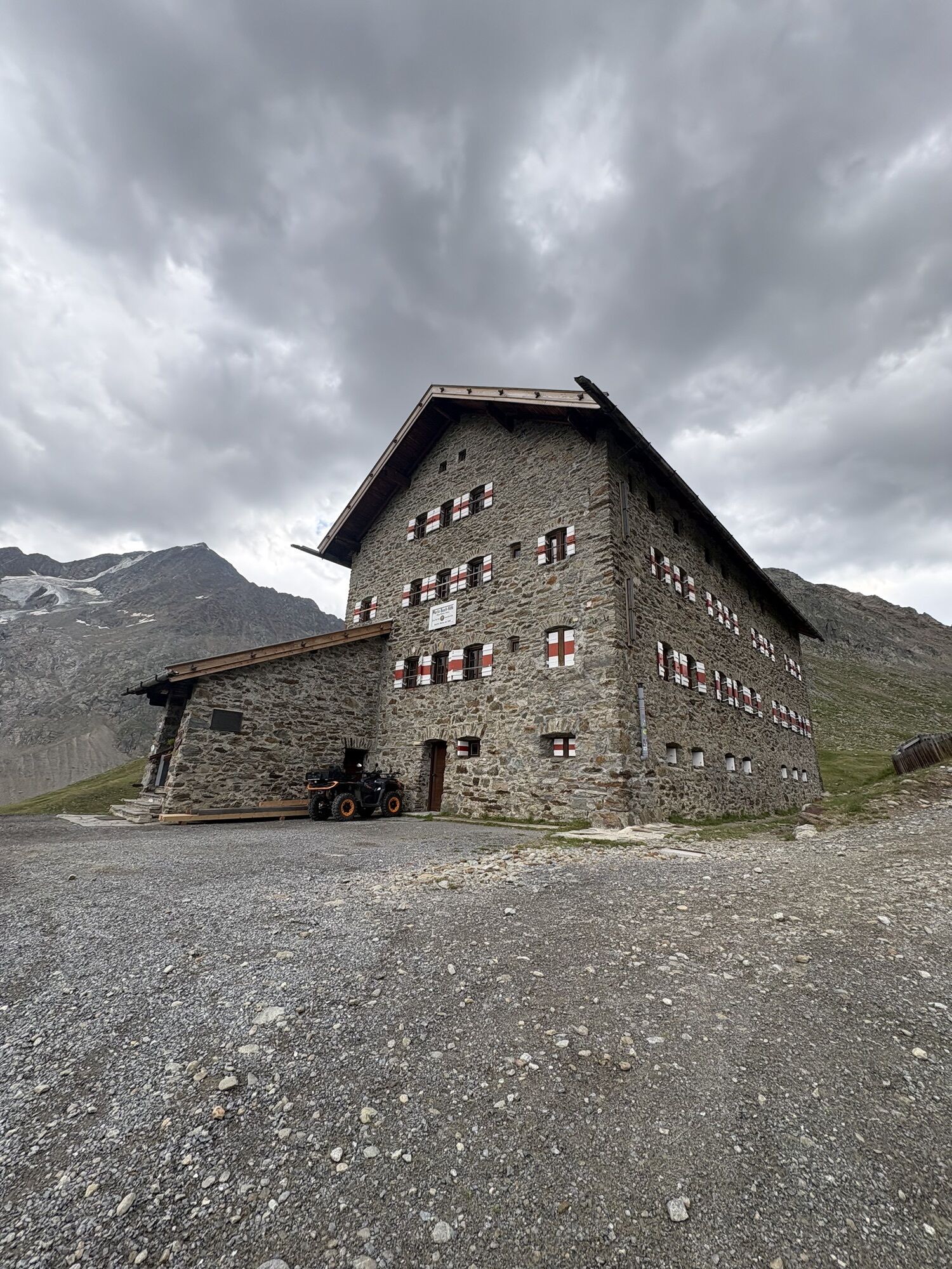
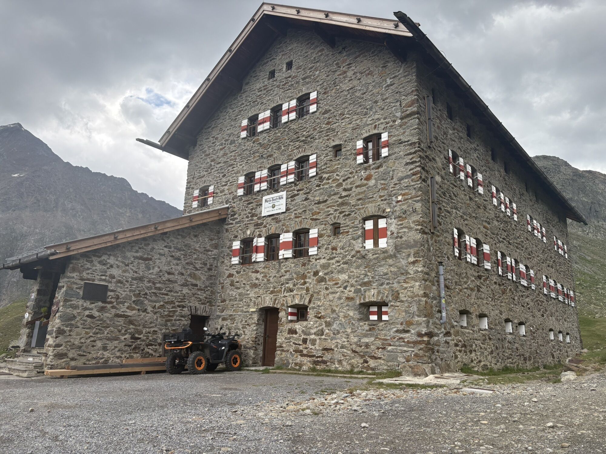
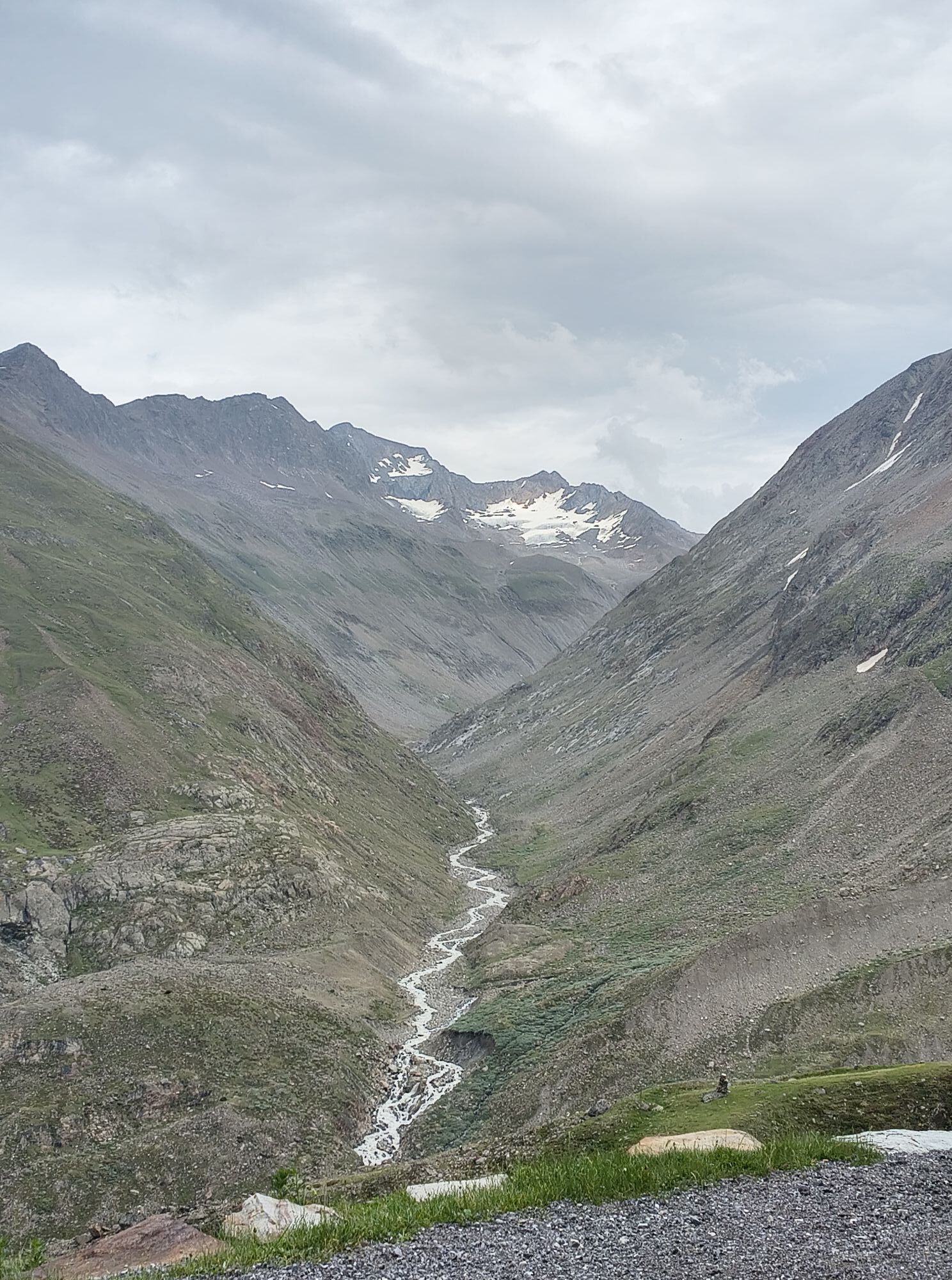
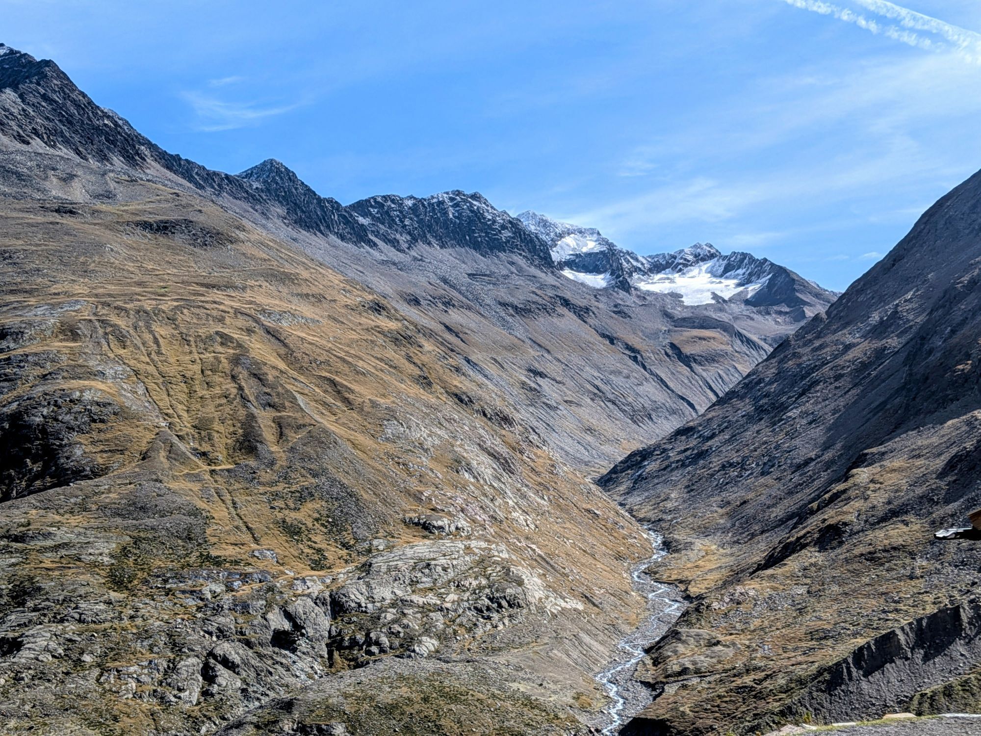
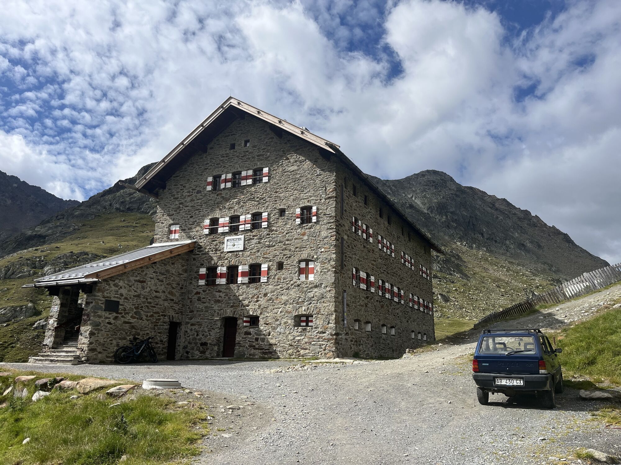
From the hut head southwards to the Niederjochbach and continue around the northern Marzellkamm. Then ascend to the Marzellferner glacier, passing the dangerous crevasses. From about 3,150 m above sea...
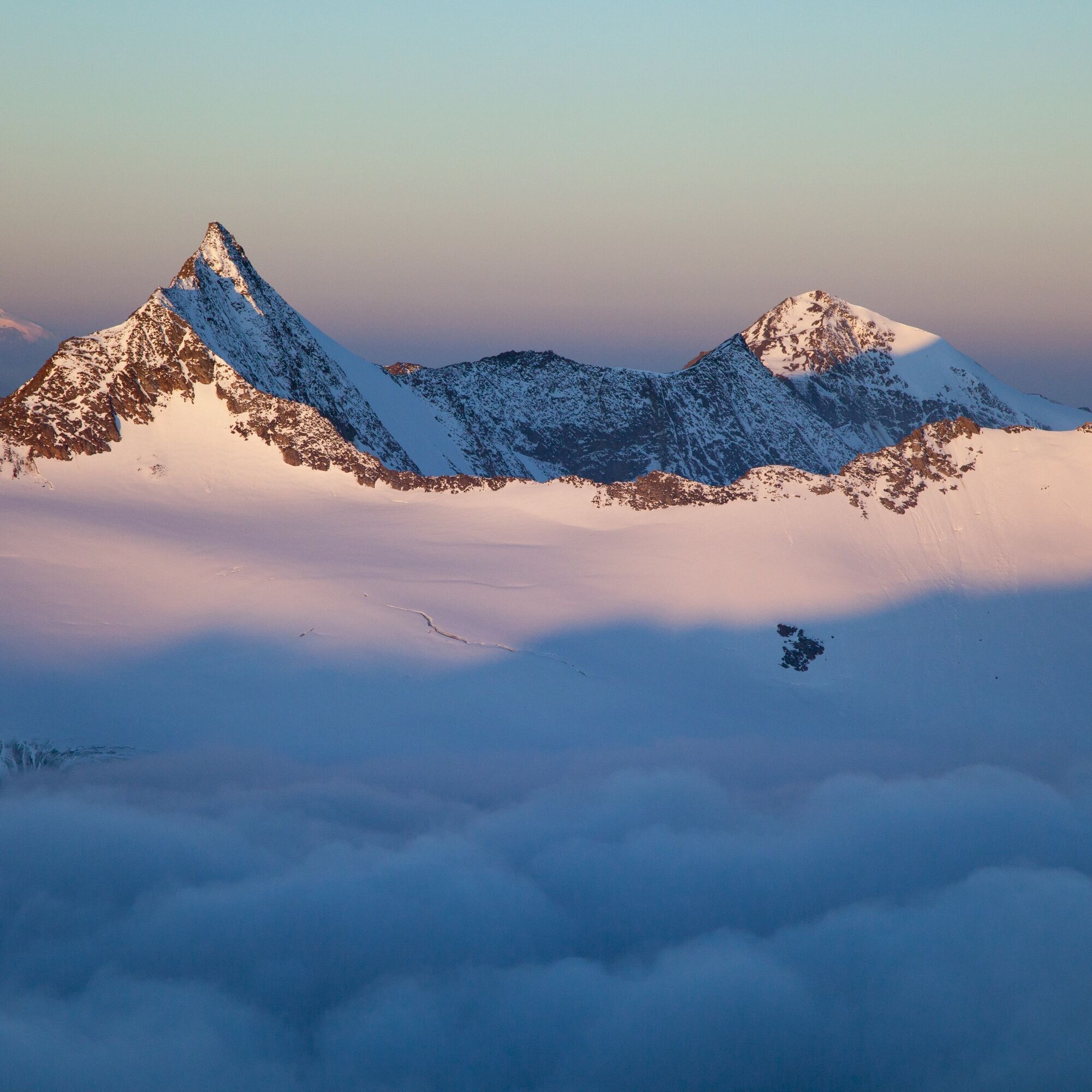
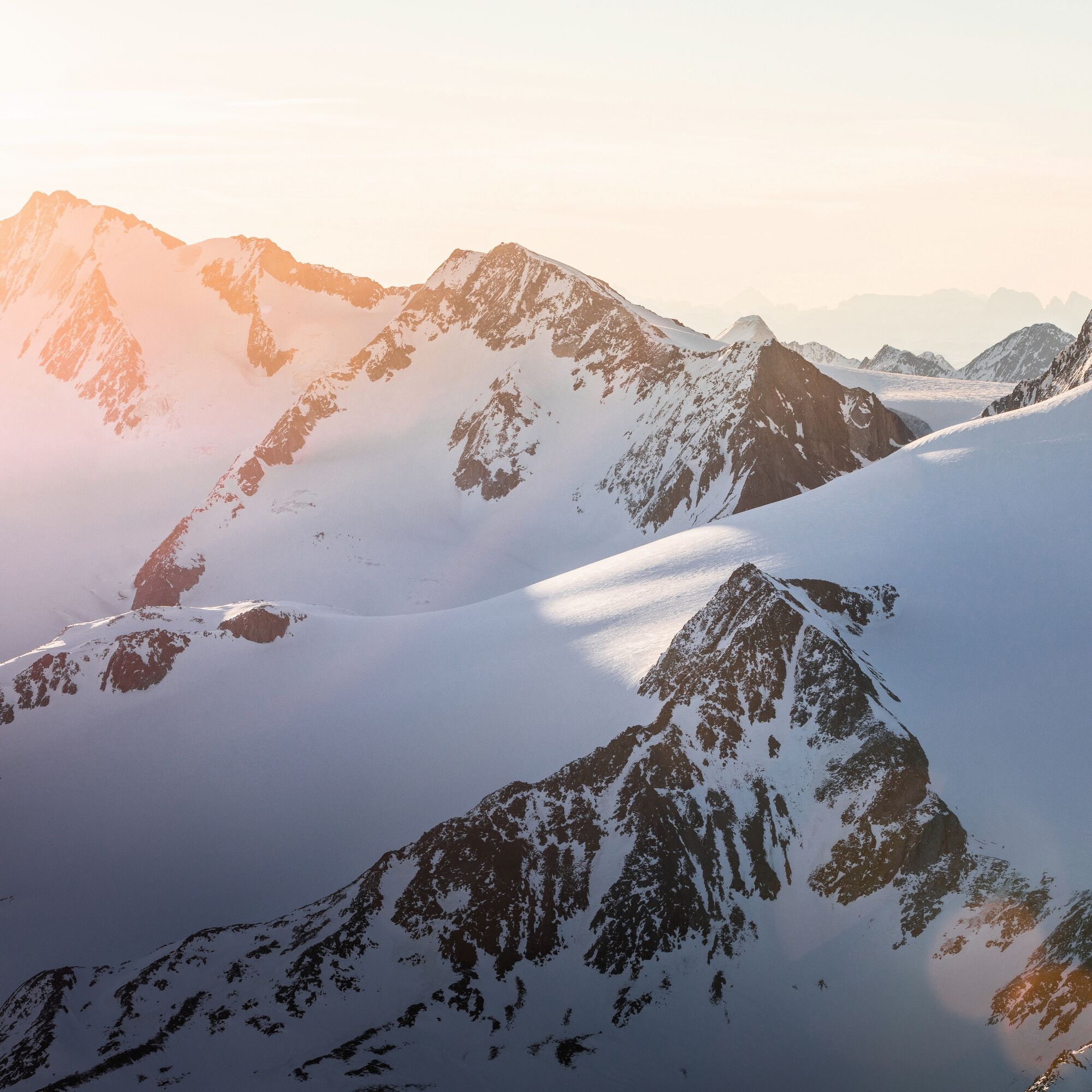
From the hut head southwards to the Niederjochbach and continue around the northern Marzellkamm. Then ascend to the Marzellferner glacier, passing the dangerous crevasses. From about 3,150 m above sea level, leave the Mutmalspitzen behind and reach a ramp that leads steeply up to the summit ridge. From there, traverse very exposed on foot to the highest point.

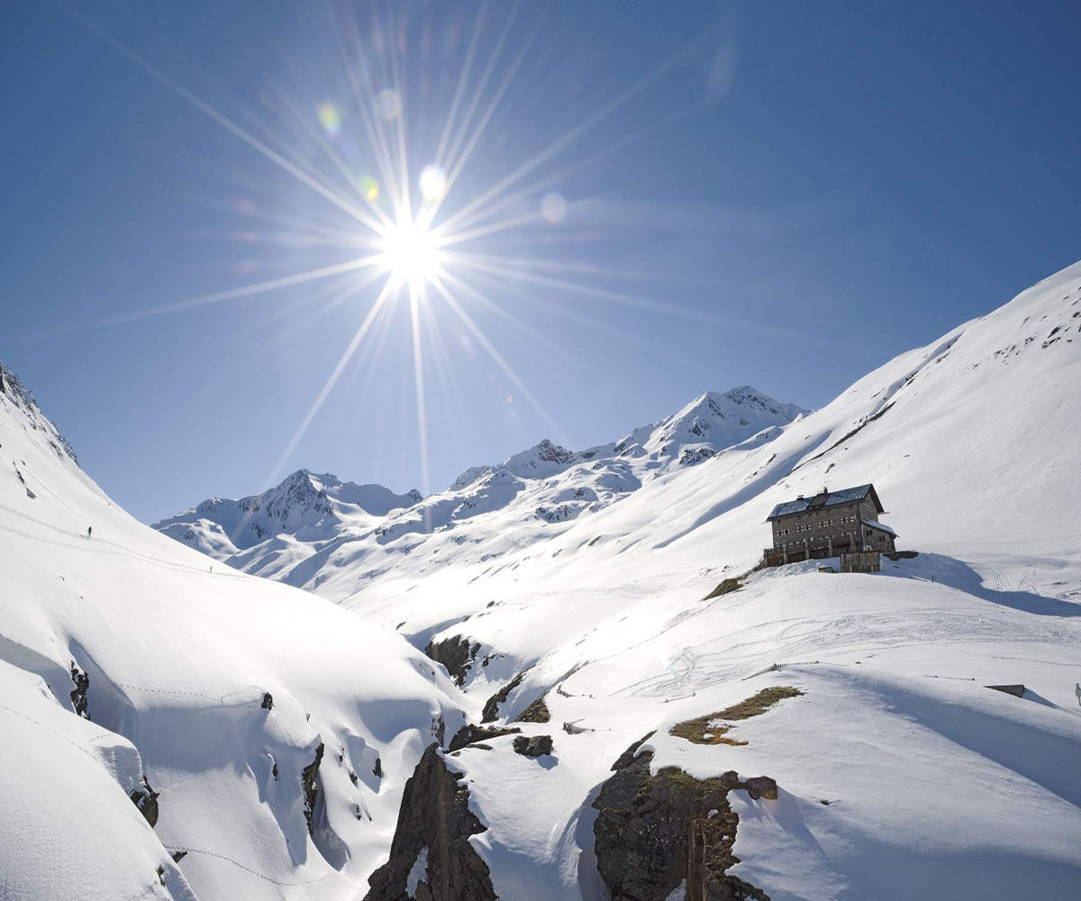

From the hut head southwards to the Niederjochbach and continue around the northern Marzellkamm. Then ascend to the Marzellferner glacier, passing the dangerous crevasses. From about 3,150 m above sea level, leave the Mutmalspitzen behind and reach a ramp that leads steeply up to the summit ridge. From there, traverse very exposed on foot to the highest point.
Recommended ski touring equipment
The “normal ski touring equipment” consists of touring skis with touring bindings, telescopic poles, climbing skins, crampons, digital avalanche transceiver, avalanche shovel, avalanche probe, first aid kit, and a mobile phone. A “complete glacier equipment” consists of a harness, two prusik loops or ascenders of different lengths, two HMS carabiners, an ice axe, crampons, and a rope. A backpack with appropriate contents should be carried, including change of clothing, sun protection, cold protection, provisions, and enough to drink! For overnight stays in huts, don’t forget personal hygiene items and a hut sleeping bag!
Difficulty rating
Easy: Easy, short to moderately long routes with ascents that do not or only briefly exceed 25°. Medium: Medium difficulty, moderately long to long routes with ascents that do not or only briefly exceed 35°. Difficult: Difficult, long to very long routes with ascents that reach 40° or more, and climbing sections up to grade II difficulty (UIAA).Avalanche danger scale
1 (LOW)
Avalanche release is only possible with a great additional load on very few, extreme steep slopes. Spontaneous avalanches (so-called slides) are not expected. Generally safe conditions.
2 (MODERATE)
Avalanche release is likely at steep slopes indicated with a great additional load. Larger avalanches are not expected. The snowpack is generally well consolidated, except on some steep slopes. Careful route selection for indicated steep slopes and slope aspects.
3 (CONSIDERABLE)
Avalanche release is already likely at slight additional loads especially on the specified steep slopes. Occasionally some medium and occasionally also large avalanches are possible. The snowpack is moderately to poorly consolidated on many steep slopes. Experience in avalanche assessment is necessary. Avoid specified steep slopes and slope aspects as much as possible.
4 (HIGH)
Avalanche release is possible already with slight additional load mainly on specified steep slopes. Numerous medium and often also large avalanches occur. On many steep slopes the snowpack is weakly consolidated. Route choice should be limited to moderately steep terrain, and attention to avalanche run-out areas is required. Much experience in avalanche assessment is necessary.
5 (VERY HIGH)
Numerous large avalanches, also in moderately steep terrain, are spontaneously expected. At this warning level, safe operation in ski areas is no longer possible. The snowpack is generally weakly consolidated and unstable. Avoid tours.
See also at lawine.tirol.gv.at
Vent is located in western Austria in the federal state of TIROL, in a southern side valley of the Inn valley - the ÖTZTAL. For your arrival by car, plan the optimal travel route from your hometown with the route planner online: https://www.google.at/maps
Travel comfortably and safely by train to the Ötztal railway station. The final stop or exit point is the ÖTZTAL station. Afterwards, you travel conveniently and quickly by public transport or local taxi companies through the entire valley to your desired destination! The current bus schedule is available at: http://fahrplan.vvt.at
In the mountaineering village of Vent, the following parking options are available.
- In summer, in front of the village (parking meter, coins or EC card only) and at the valley station of the chairlift (at the mountain railways cash desk)
- In winter, only at the valley station of the chairlift.
Cost: €5.00 per day/car
Ski Touring Rules
Observe applicable regulations in nature and when selecting tours (e.g., wildlife protection areas, hunting restricted zones, afforestation areas, information boards, etc.) Respect quiet zones for wildlife and avoid feeding areas as well as loud noise In winter, cross forested areas only on designated paths and routes, as animals react very panicked to untraceable noise. Recognize wildlife habitats and avoid animals whenever possible. Observe wildlife only from a distance. Dogs must be kept on a leash at all times; it is absolutely irresponsible to let dogs run freely in the forest during the critical winter period. Plan your time correctly: start early enough and return before nightfall. In spring, you should be back at the hut by midday (avalanche danger) Never drive through afforestation and young-growth areas.Ötztal Tourism assumes no liability for the listed tours and recommends taking a mountain guide. Glacier crossings are only possible with a rope and in a group.
Before starting a tour, inform the valley about your destination and estimated return time. The use of an avalanche transceiver is strongly recommended.
More information about ski touring in Ötztal: https://www.oetztal.com/skitouren
Reservation of hut sleeping places required!
Uzyskaj wgląd
Zawsze na żywo z ponad 9 500 kamer internetowych. bergfex Jako użytkownik Pro, możesz teraz zobaczyć odpowiednie kamery internetowe dla wielu wycieczek w aplikacji wycieczki od. Pozwala to na bezpośredni podgląd aktualnych warunków.
Popularne wycieczki w okolicy
-
4,7
Vent - Kreuzspitze
Wędrówka 20,6 km -
4,2
Vorderkaser - Eishof / Texelgruppe
światłoWędrówka 4,83 km -
4,5
Vent - Wilder Mann - Breslauer Hütte - Stableinalm
średniWędrówka 7,25 km -
4,8
Kurzras - Schöne Aussicht - ins hintere Eis
średniWędrówka 13,0 km -
4,4
Rundweg Vernagter See plus Einkehr Finailhof
średniWędrówka 8,73 km -
3,8
Breslauer Hut
średniWędrówka 4,75 km -
4,4
Hochtour Wildspitze, 3.768m
średniWycieczka wysokogórska 9,75 km -
4,6
Hochwilde - Pfelders
średniWycieczka wysokogórska 22,1 km -
4,1
Vernagt-Stausee (Seerundgang)
światłoWędrówka 6,70 km -
3,4
Tiefenbachglacier - Mountaineering Village Vent
średniWędrówka 10,8 km

Wędrówki i tropienie


Nie przegap ofert i inspiracji na następne wakacje
Twój adres e-mail została dodana do listy mailingowej.





