



Road cycling route - Sölden - Vent & Rofen

Poziom trudności: 4
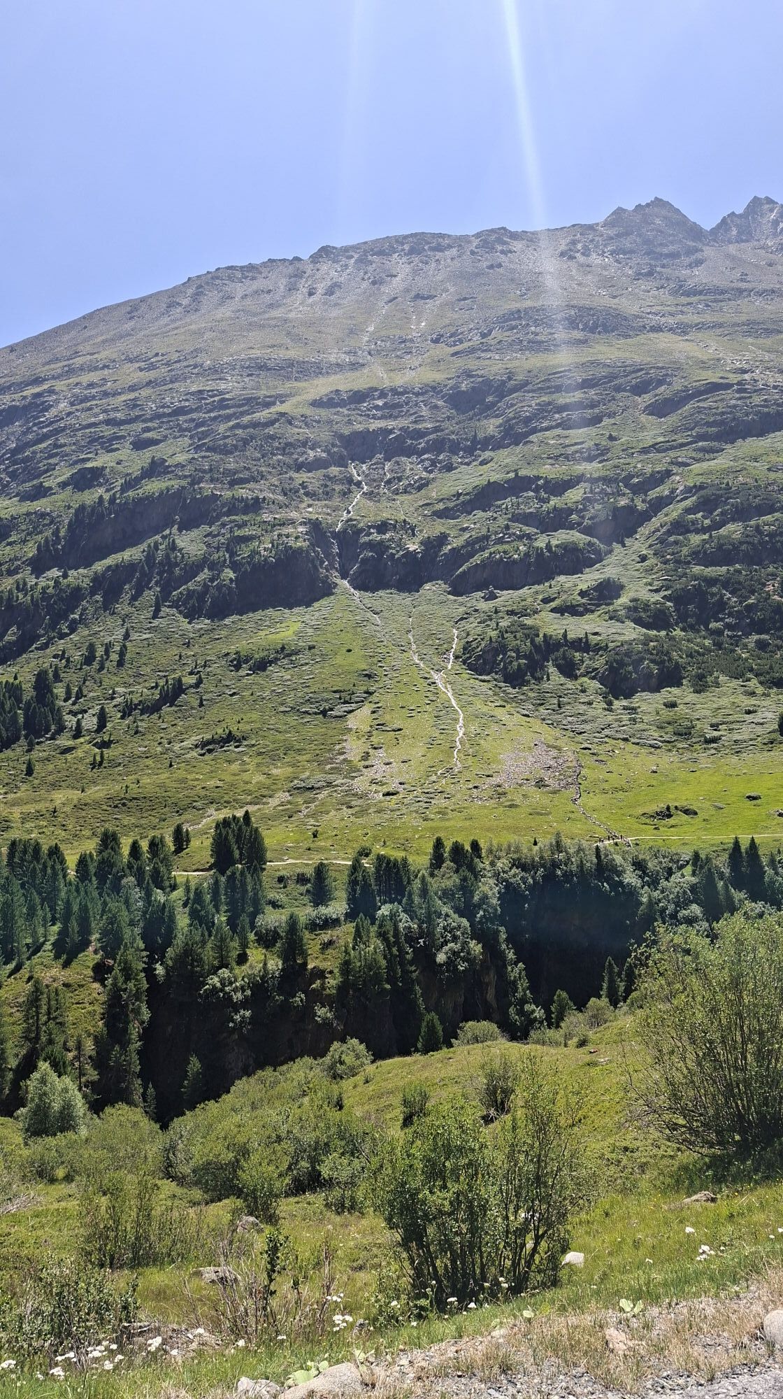
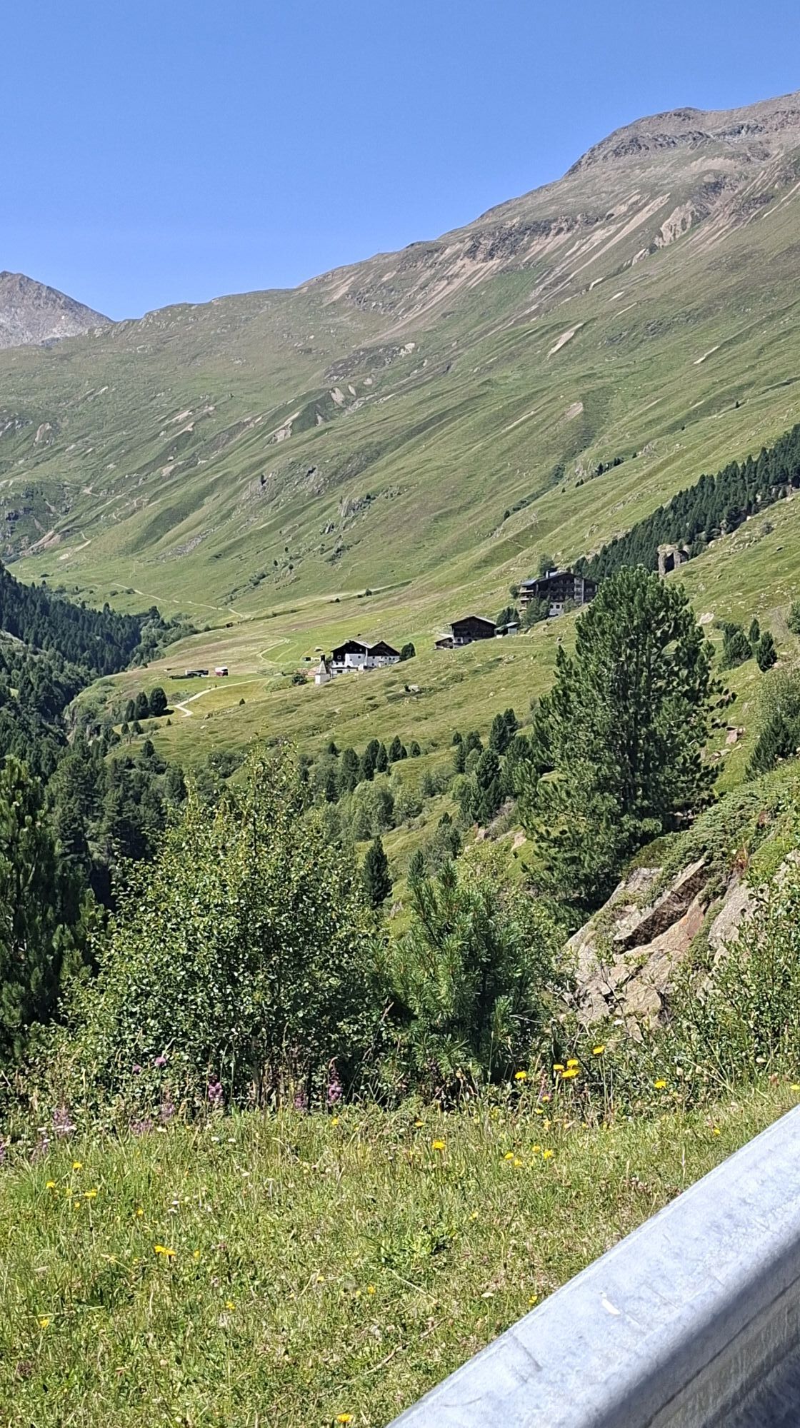
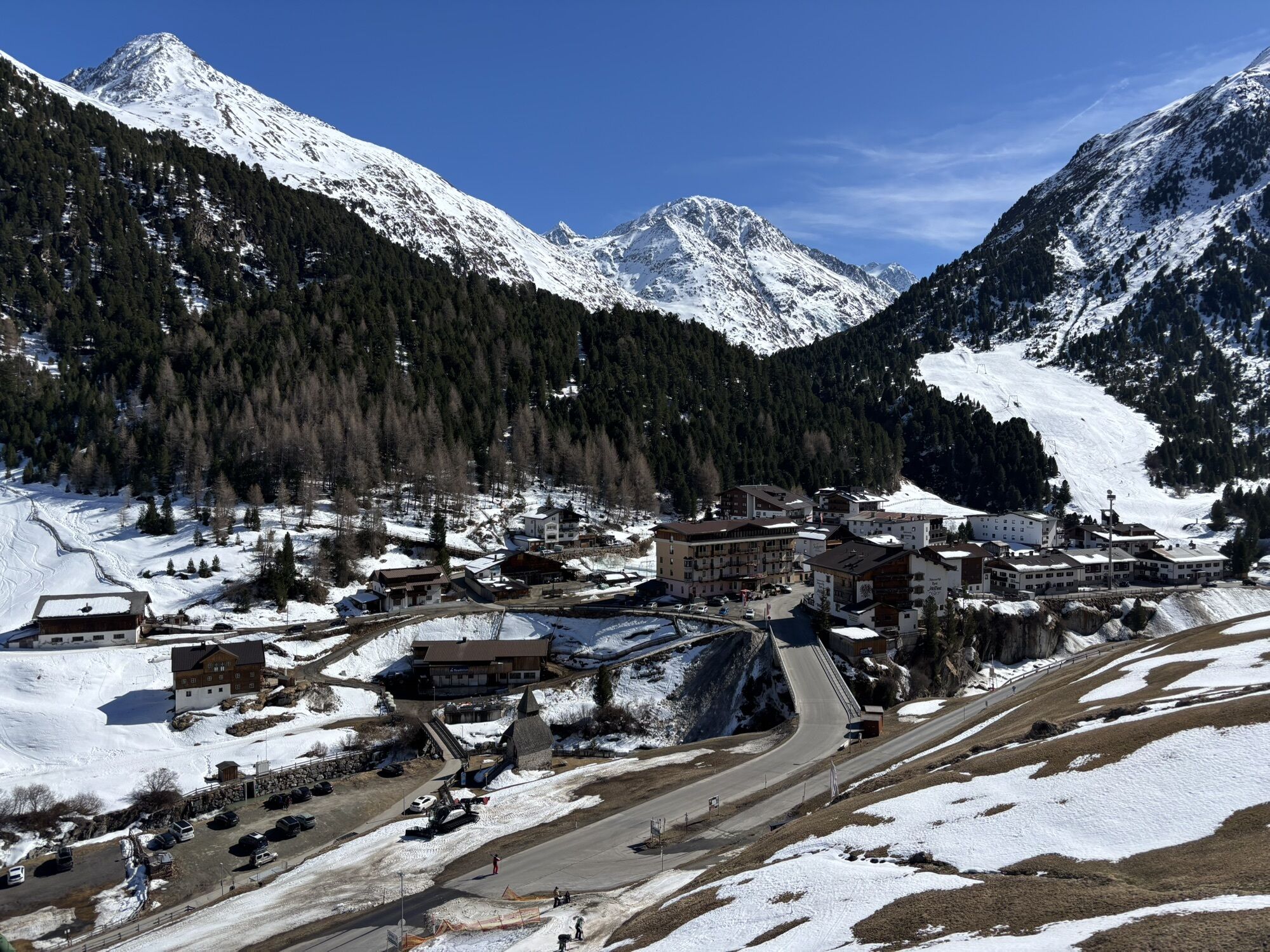

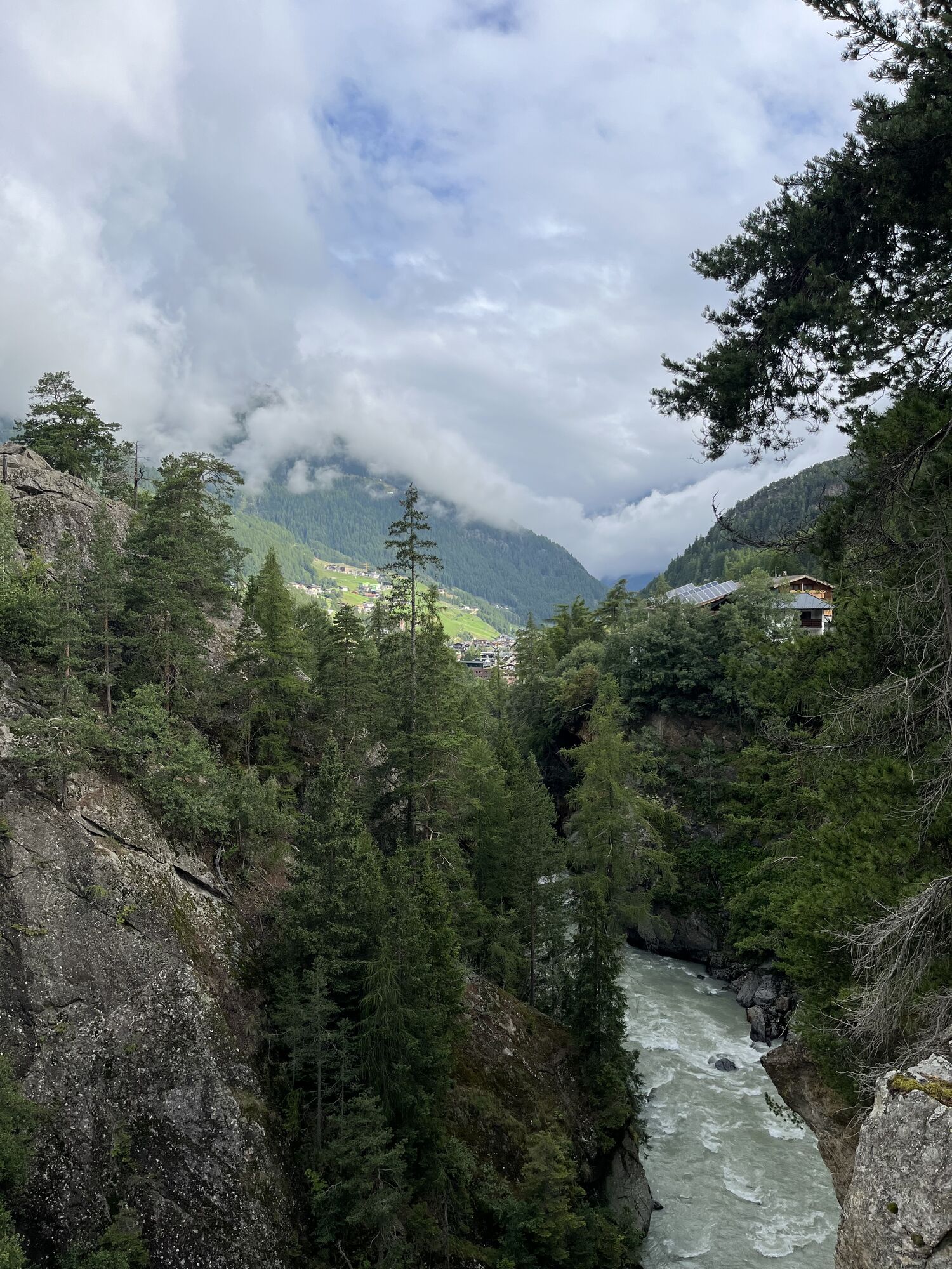
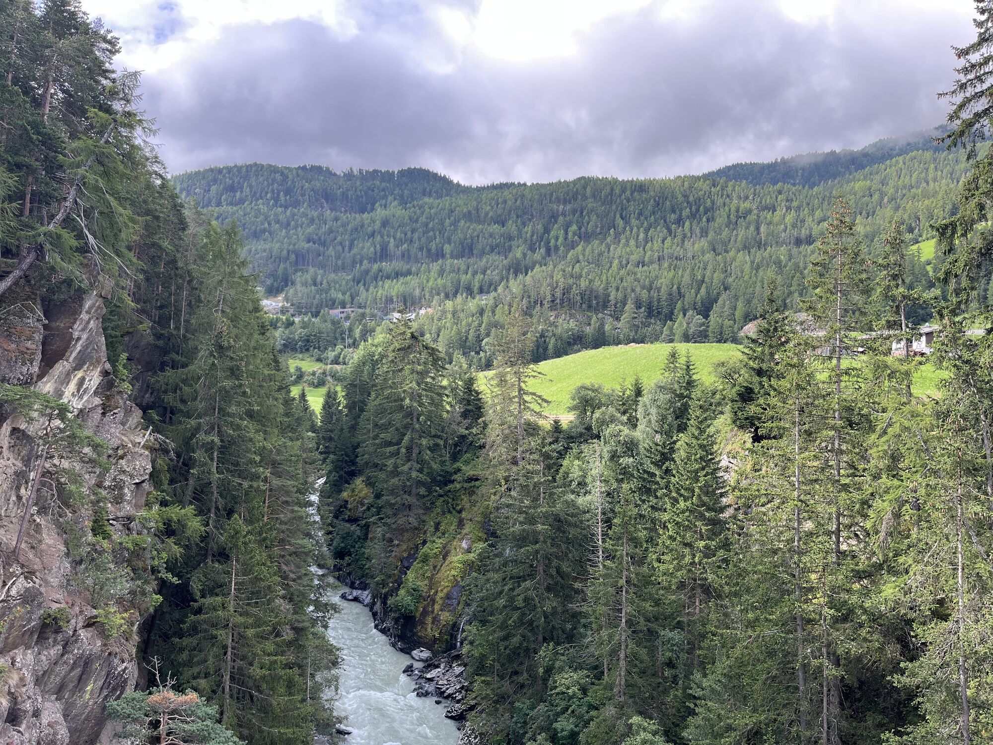
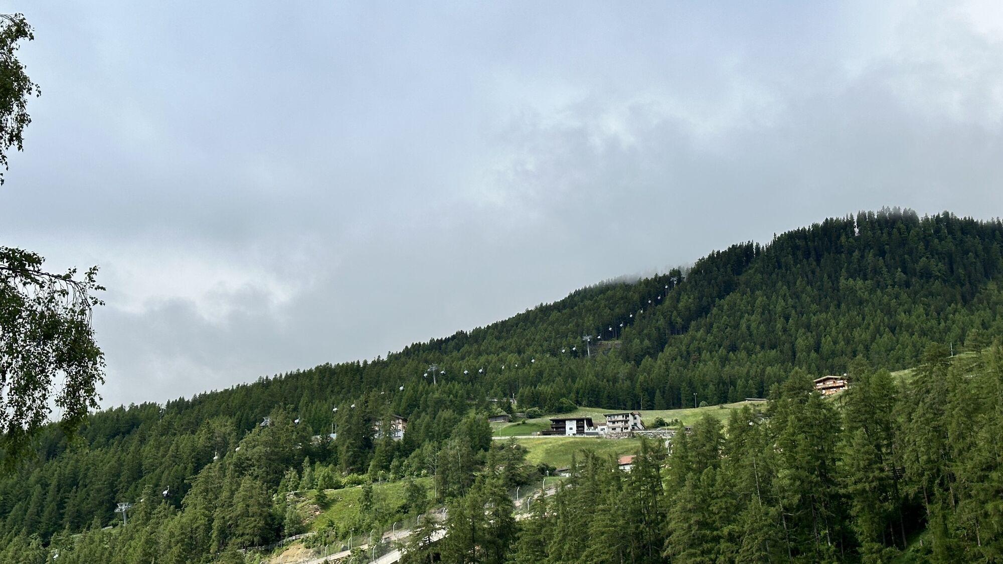
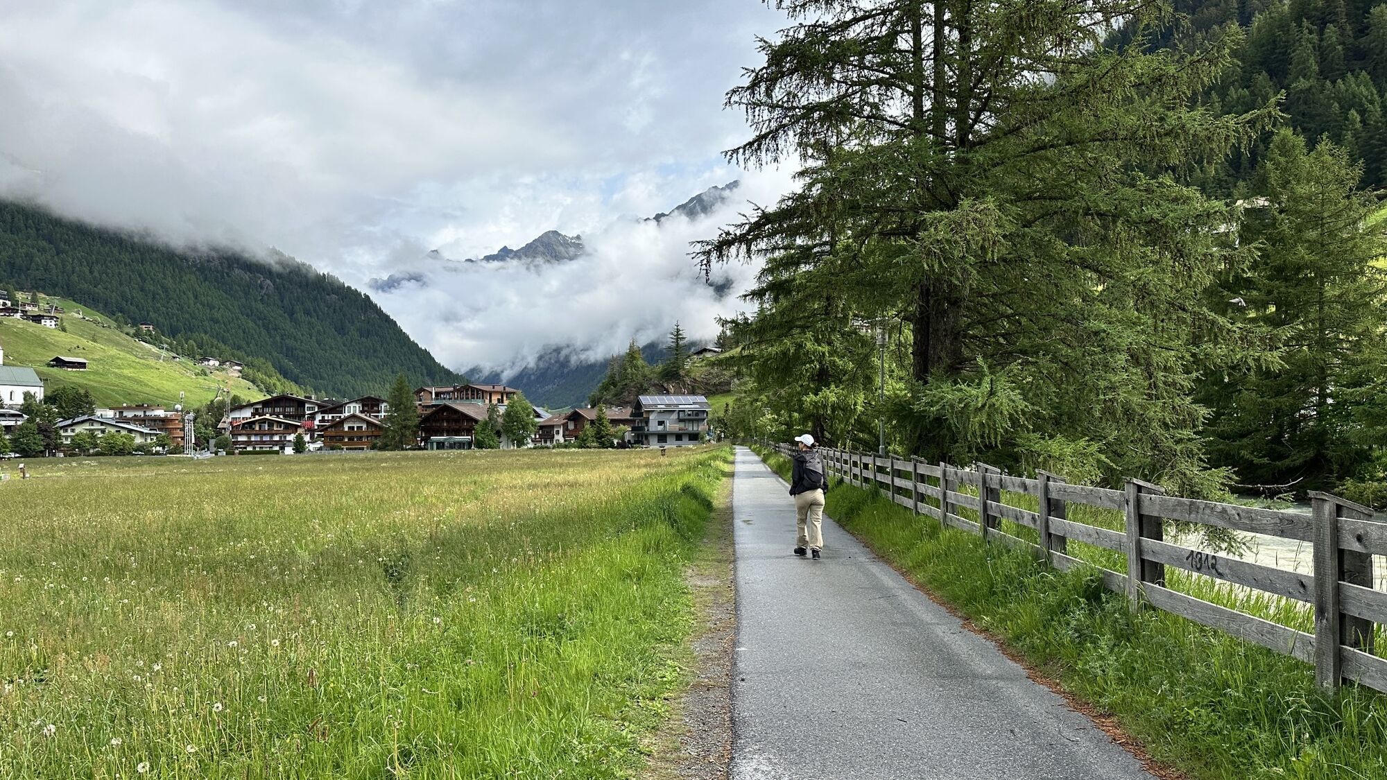
The Venter Valley begins in Zwieselstein. The valley and the nearby Similaun Glacier, which extends to 3000 m altitude, are known for the discovery of the famous glacier mummy "Ötzi".
From Zwieselstein...
The Venter Valley begins in Zwieselstein. The valley and the nearby Similaun Glacier, which extends to 3000 m altitude, are known for the discovery of the famous glacier mummy "Ötzi".
From Zwieselstein there is little traffic, so you can really enjoy the climb on the very well-developed road to the mountaineering village of Vent.
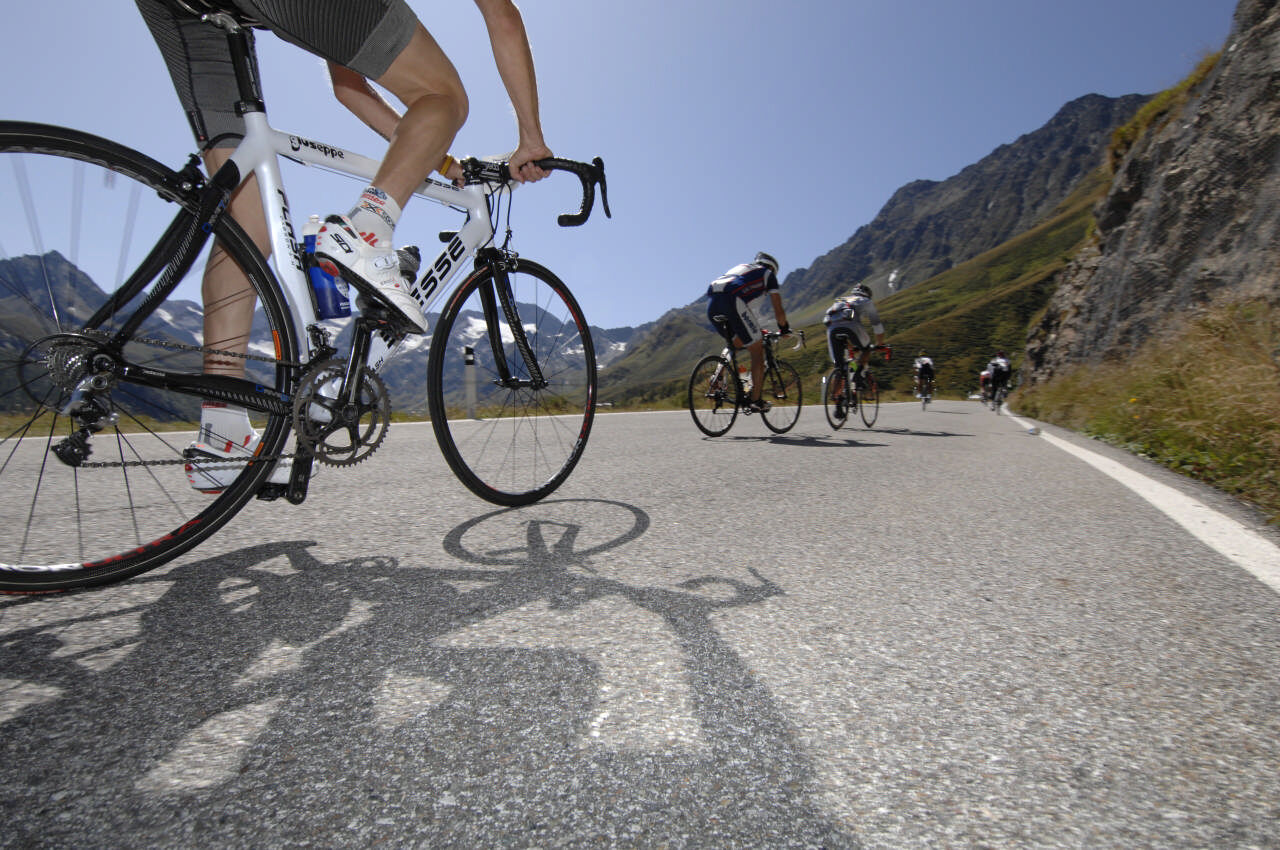
With 874 meters of altitude gain well distributed but with short steep climbs, this pleasure route with numerous opportunities to stop is easily doable for good hobby athletes. It offers both scenic and historical highlights such as the hollow stone and the idyllic Rofen farms.
The glacier priest Franz Senn, co-founder of the German Alpine Club (1869) and curate in Vent, promoted mountaineering by creating paths and trails and building huts. He wanted to inspire people to climb mountains but also to improve the economic situation of the valley population.

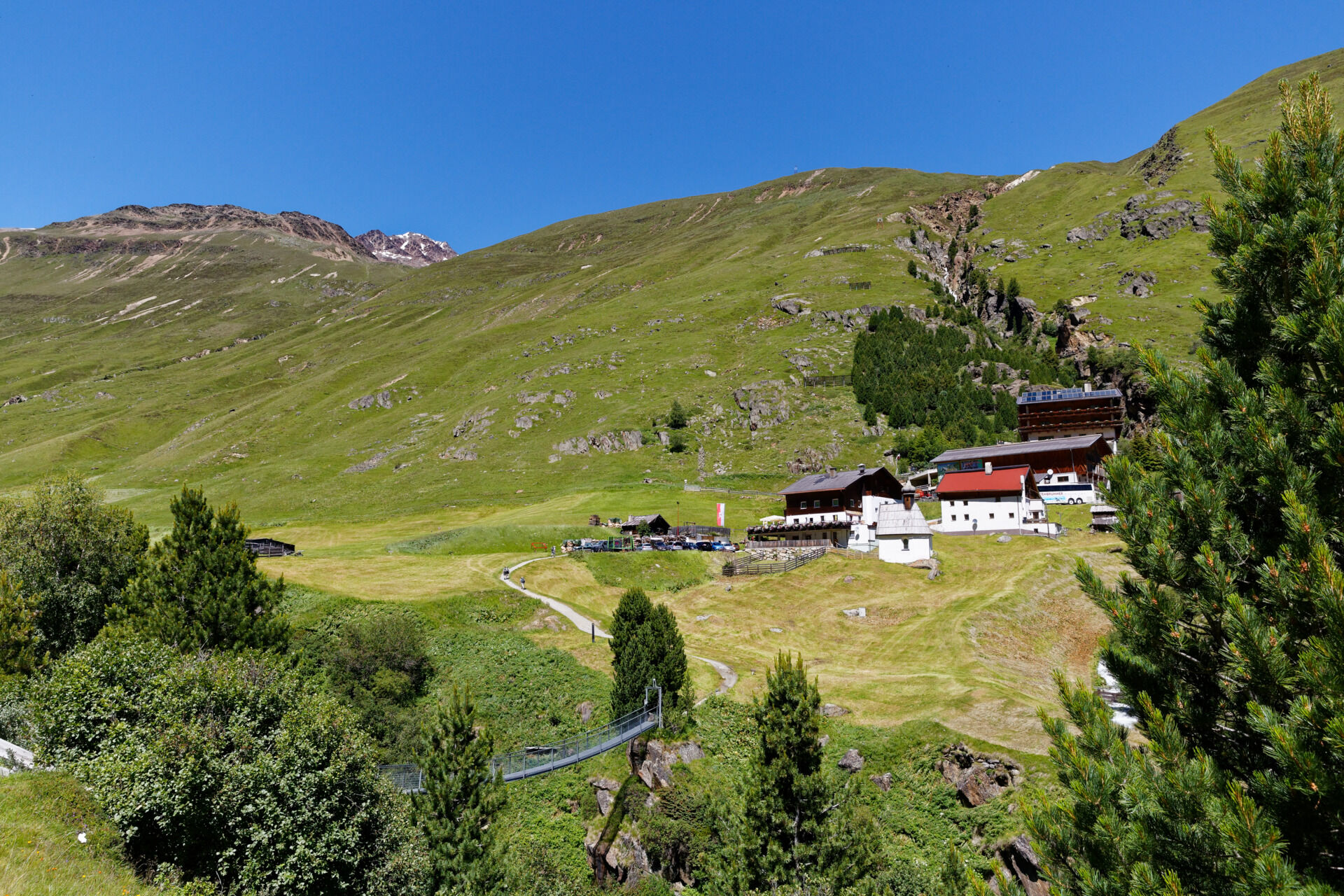
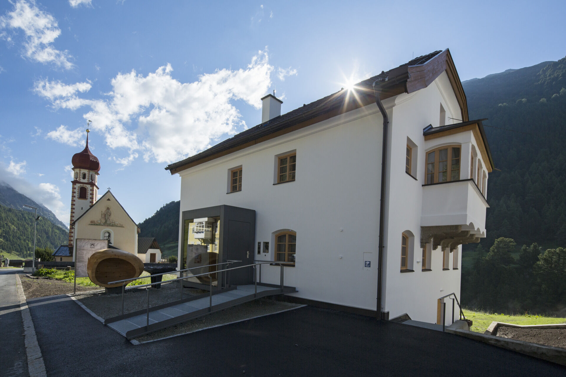
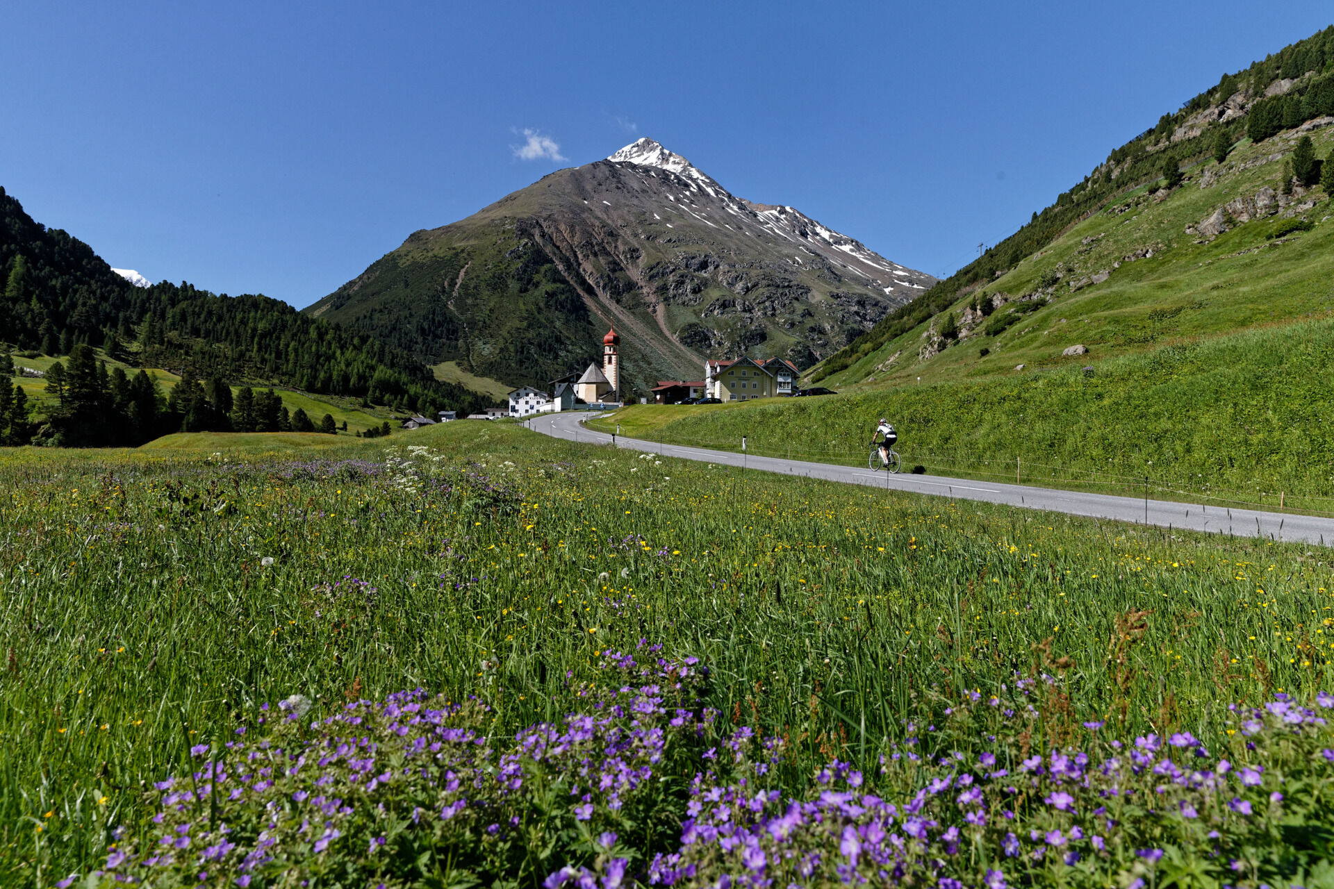
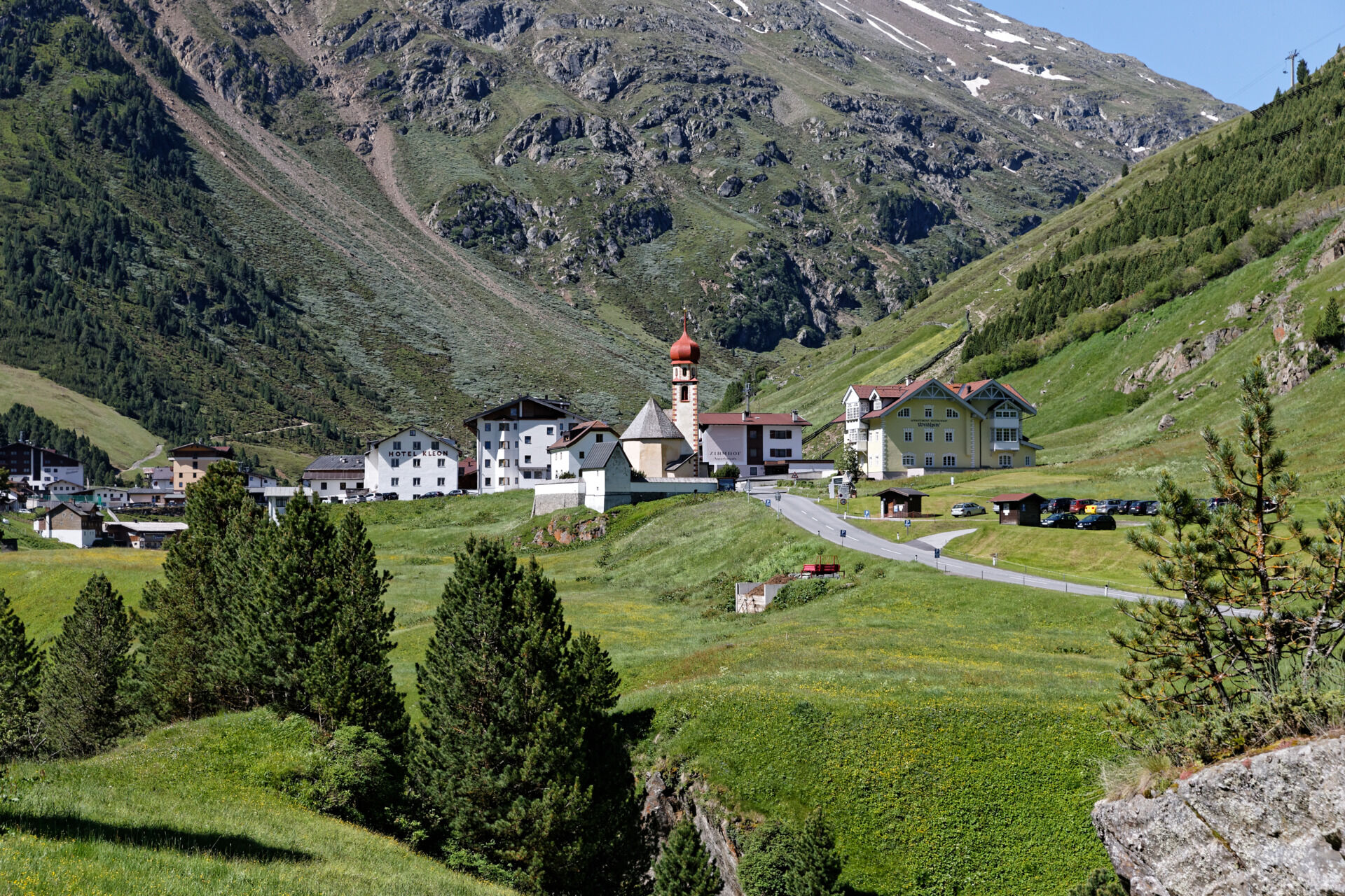
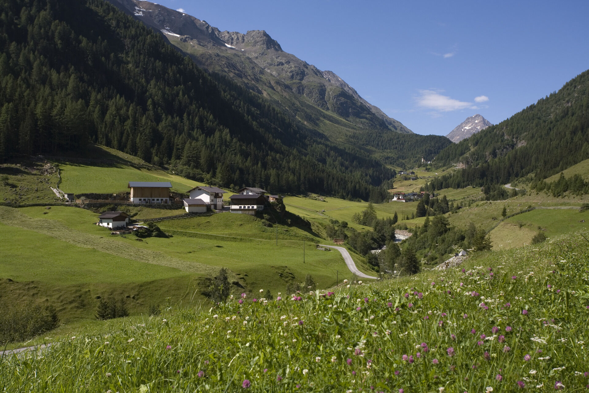

From the Freizeit Arena Sölden, head valley inward towards Zwieselstein. Turn right there and continue towards Vent. Three, though short, galleries or tunnels must be passed, so we recommend a rear light for safety. In the center of Vent, turn right and from there it goes up about 200 meters on a single-lane but paved road to Rofen. A stop at the inns with views of the surrounding three-thousand-meter peaks is highly recommended. From here, follow the same route back to Sölden.
Tak
Personal equipment must be safe, functional, and meet the respective technical standard. Every road cyclist is advised to inform themselves about the planned routes through specialist literature or on-site. Complete road cycling equipment is definitely recommended even for experienced riders!
Tip: For the partly sparsely lit tunnels, lighting is advisable.
The traffic regulations (StVO) apply. Generally valid and usual behavior rules.
It should be noted that road cycling sports can involve an increased risk of accidents and injuries. Despite careful route planning, a basic risk always remains. Preparation through endurance sports, appropriate training and education, as well as personal caution reduce the risk of accidents and hazards.
WHERE IS SÖLDEN LOCATED?
Sölden is located in western Austria in the state of TYROL, in a southern side valley of the Inn valley – the ÖTZTAL.
Arrival from the west:
from Vorarlberg to Tyrol via the Arlberg Pass or through the Arlberg Tunnel (S 16) - Landeck - motorway A 12 towards Innsbruck - exit Ötztal after Roppener Tunnel - B 186 (35 km) to Sölden
From the north:
- Bad Tölz - Achen Pass - B 181 - Jenbach - A 12 Innsbruck towards Bregenz - exit Ötztal - B 186 (35 km) to Sölden
- Pfronten - Reutte - Fern Pass - Imst - A 12 towards Innsbruck - exit Ötztal after Roppener Tunnel or B 171 Tiroler Straße to Ötztal (toll-free) - B186 (35 km) to Sölden
- Garmisch Partenkirchen - Ehrwald - Lermoos - Fern Pass - Imst - A 12 towards Innsbruck - exit Ötztal after Roppener Tunnel or B 171 Tiroler Straße to Ötztal (toll-free) - B 186 (35 km) to Sölden
- Garmisch Partenkirchen - Mittenwald - Scharnitz - Seefeld in Tirol - Telfs - A 12 towards Bregenz - exit Ötztal or B 171 Tiroler Straße to Ötztal (toll-free) - B186 (35 km) to Sölden
From the east:
from Munich or Salzburg on the A 93 to Kufstein, then on the A 12 towards Bregenz, via Innsbruck to Ötztal exit, then further on B186 (35 km) to Sölden
From the south:
from Bolzano towards Brenner (toll road) - Brenner motorway via Schönberg toll station towards Innsbruck - from Innsbruck on A 12 towards Bregenz until approach to Ötztal - further on B 186 (35 km) to Sölden
Arrival by train
Travel comfortably and safely by train to the Ötztal station. Directly at the station square, a bus line starts towards Obergurgl. The bus ride to Sölden takes about 1 to 1.5 hours.
All important information on bus schedules, connections, and taxi companies can be found here.
At the valley station of the Gaislachkoglbahn and the Giggijochbahn, sufficient free parking spaces are available; free parking garages are also provided. Parking is free between 8:00 am and 7:00 pm.
Paid overnight parking of cars is possible in the Gaislachkogl parking garage:
more information about overnight parking
4
More info about biking & cycling in the Ötztal: https://www.oetztal.com/biken
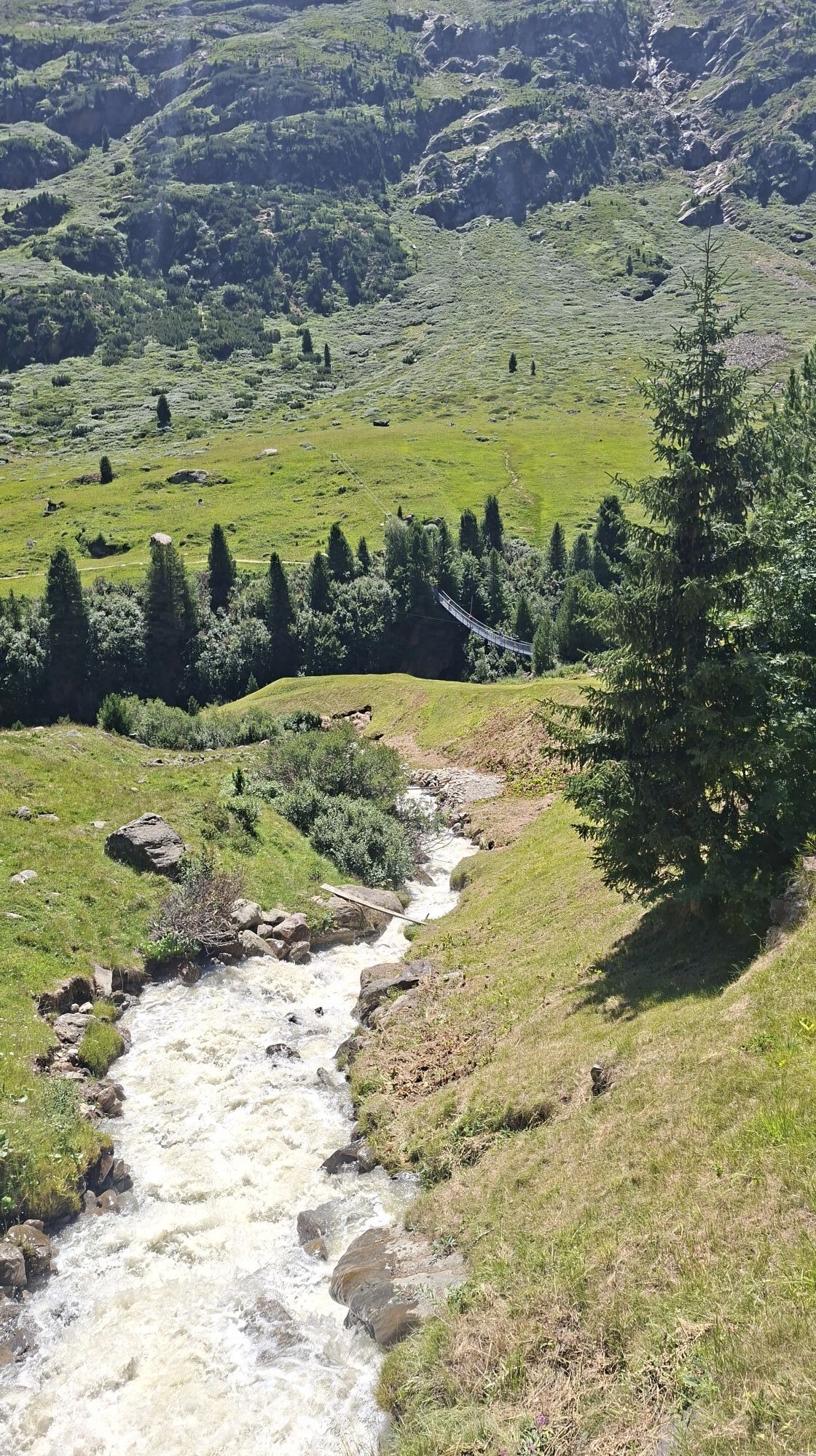
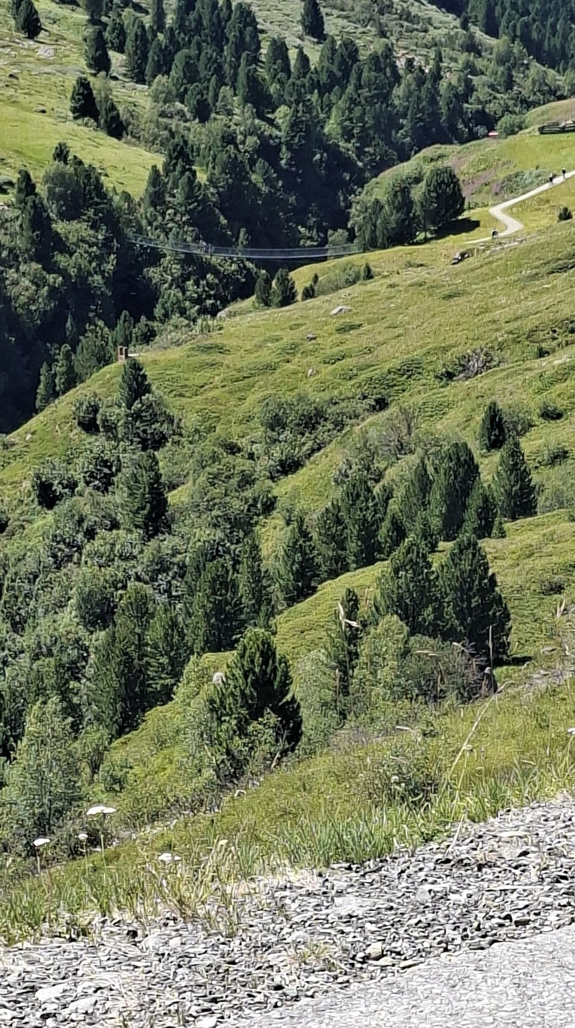
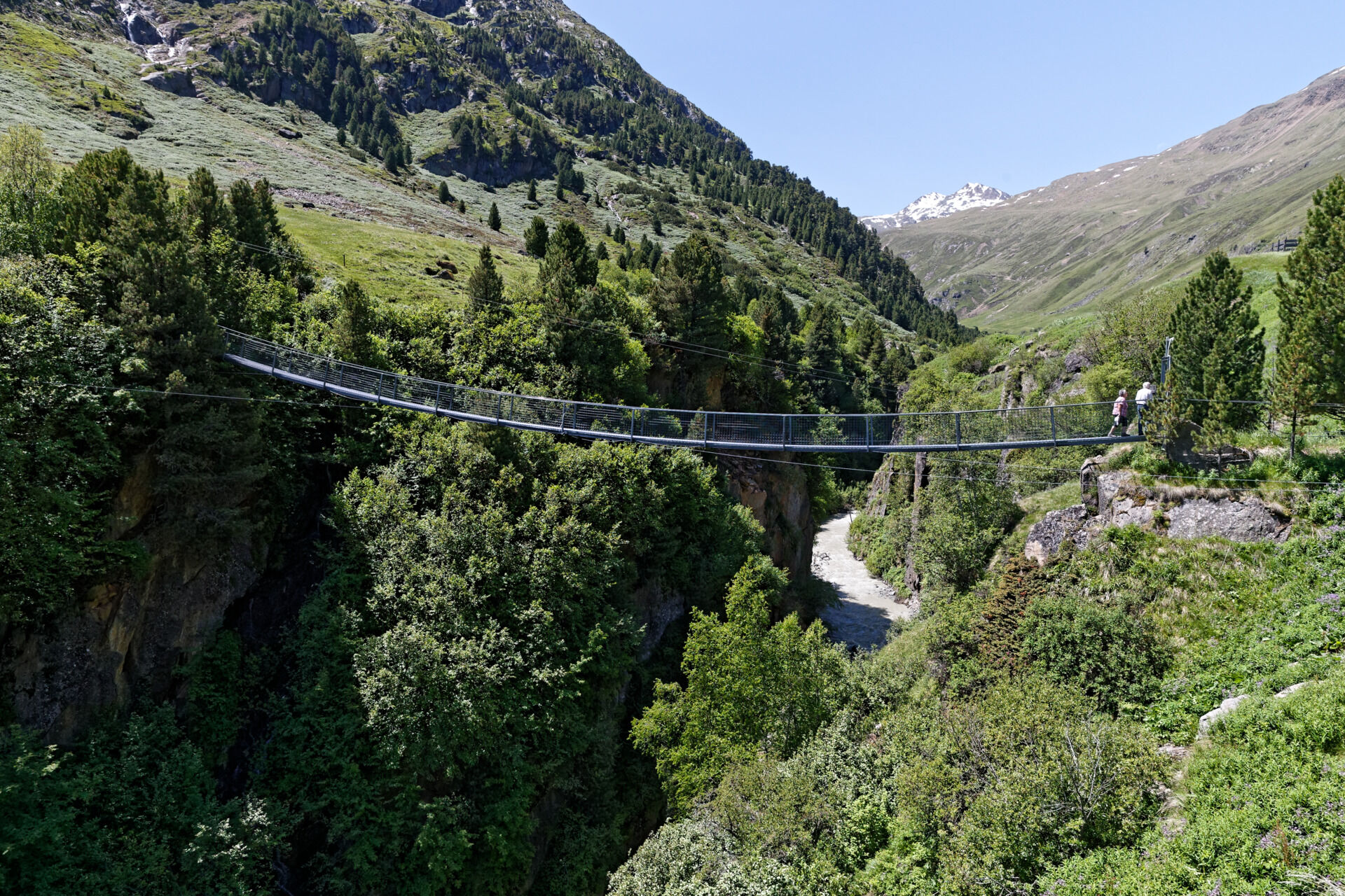
At the end point of the route, the Rofen farms, there is another highlight of the Rofen valley. A 46 m long bridge spans the Rofner Gorge over the Rofenbach, which lies 31 m below. The bridge was built in 1967 by the Klotz brothers and renovated in 2006. It is located close to the Rofen farms and can also be easily accessed with cycling shoes by cyclists who are not afraid of heights.
Popularne wycieczki w okolicy
-
4,8
Vent - Kreuzspitze
Wędrówka 20,6 km -
4,3
Vorderkaser - Eishof / Texelgruppe
światłoWędrówka 4,83 km -
4,6
Vent - Wilder Mann - Breslauer Hütte - Stableinalm
średniWędrówka 7,25 km -
4,8
Kurzras - Schöne Aussicht - ins hintere Eis
średniWędrówka 13,0 km -
4,4
Rundweg Vernagter See plus Einkehr Finailhof
średniWędrówka 8,73 km -
3,8
Breslauer Hut
średniWędrówka 4,75 km -
4,3
Vernagt-Stausee (Seerundgang)
światłoWędrówka 6,70 km -
4,6
Hochwilde - Pfelders
średniWycieczka wysokogórska 22,1 km -
4,4
Hochtour Wildspitze, 3.768m
średniWycieczka wysokogórska 9,75 km -
3,5
Tiefenbachglacier - Mountaineering Village Vent
średniWędrówka 10,8 km
Wędrówki i tropienie


Nie przegap ofert i inspiracji na następne wakacje
Twój adres e-mail została dodana do listy mailingowej.


