







Allgäu round

Poziom trudności: 4
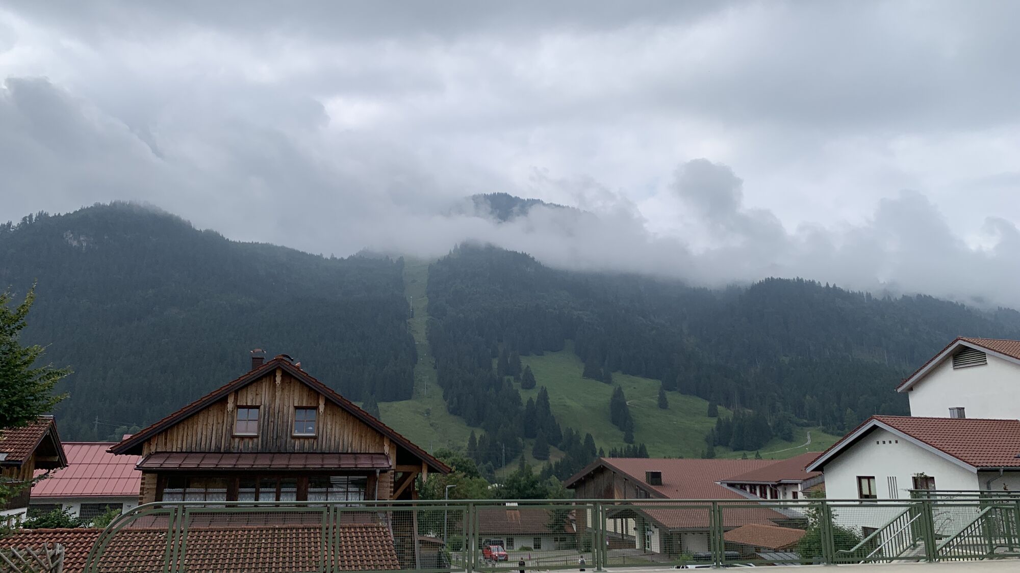


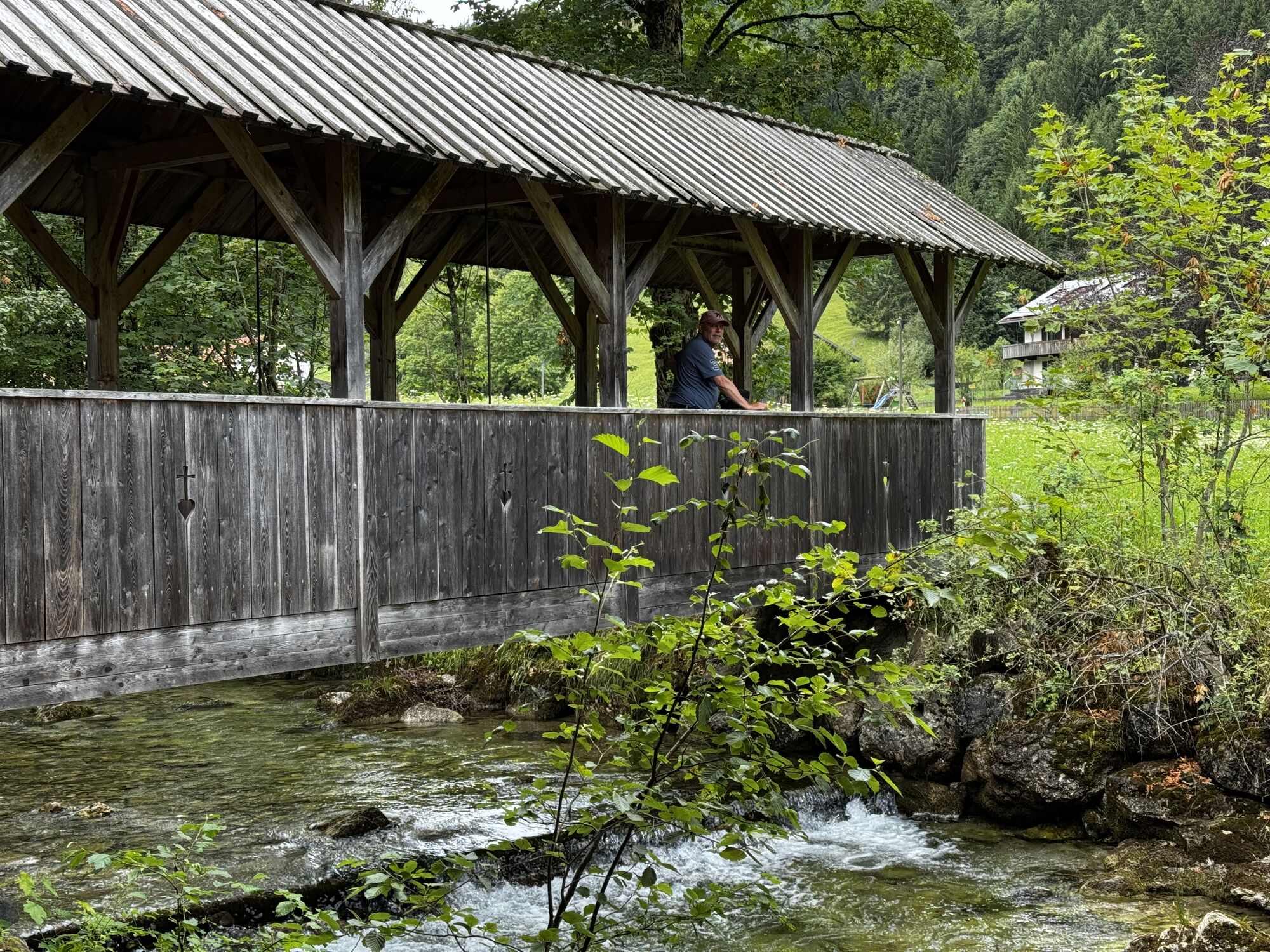
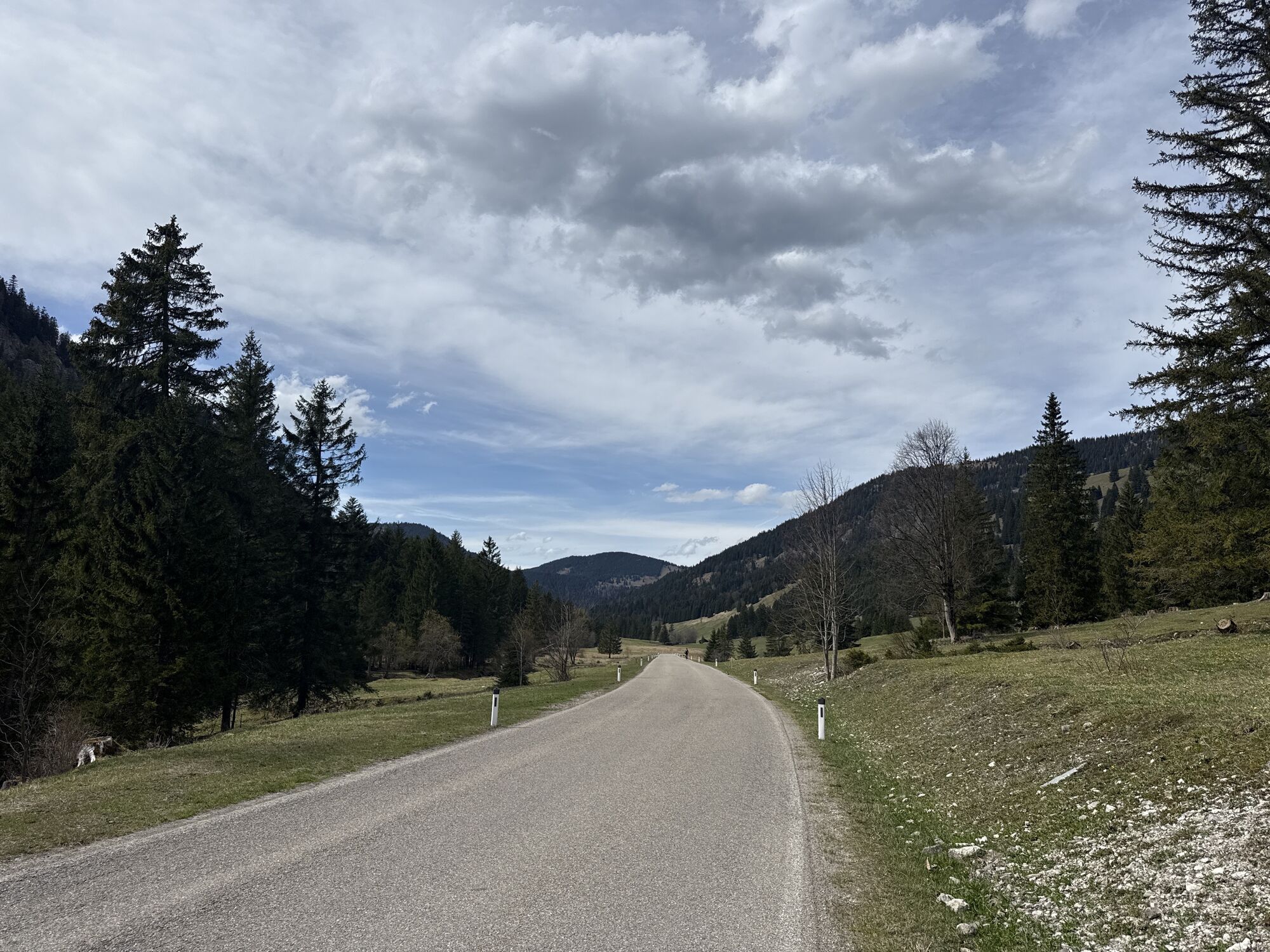
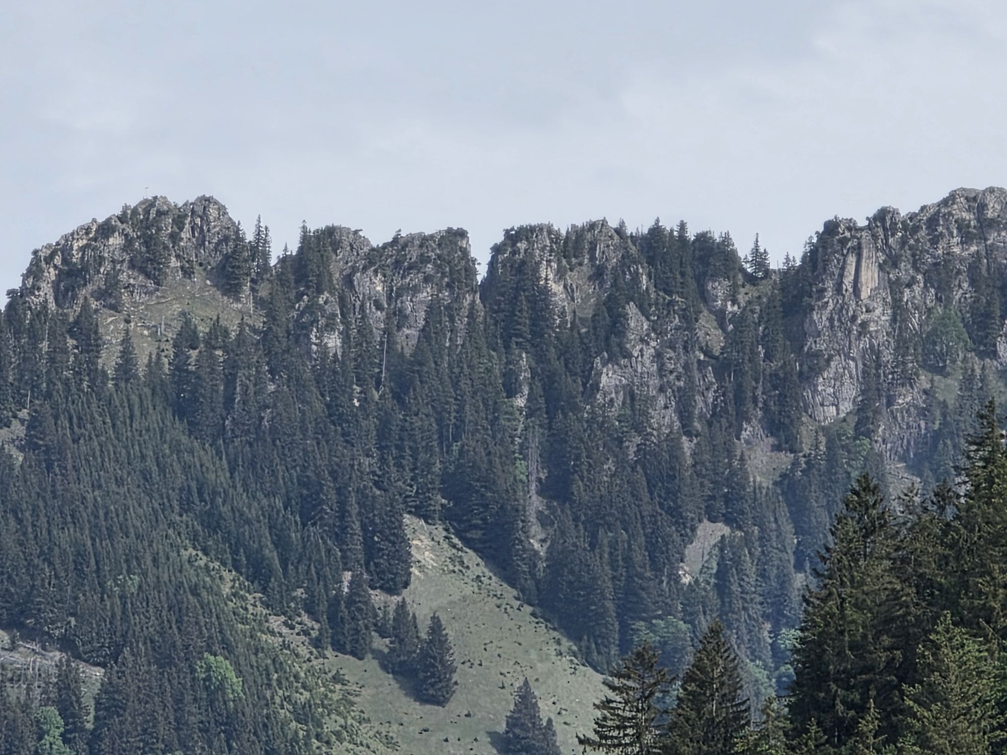
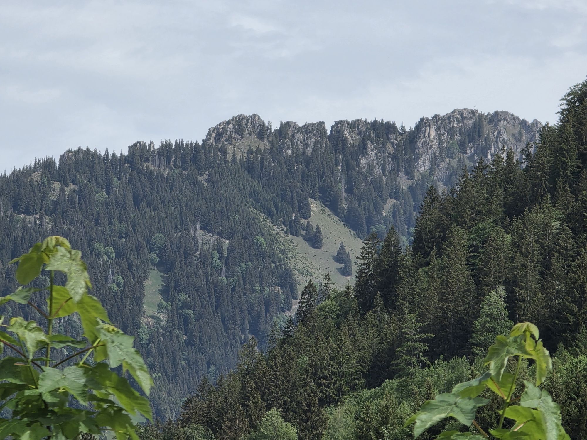
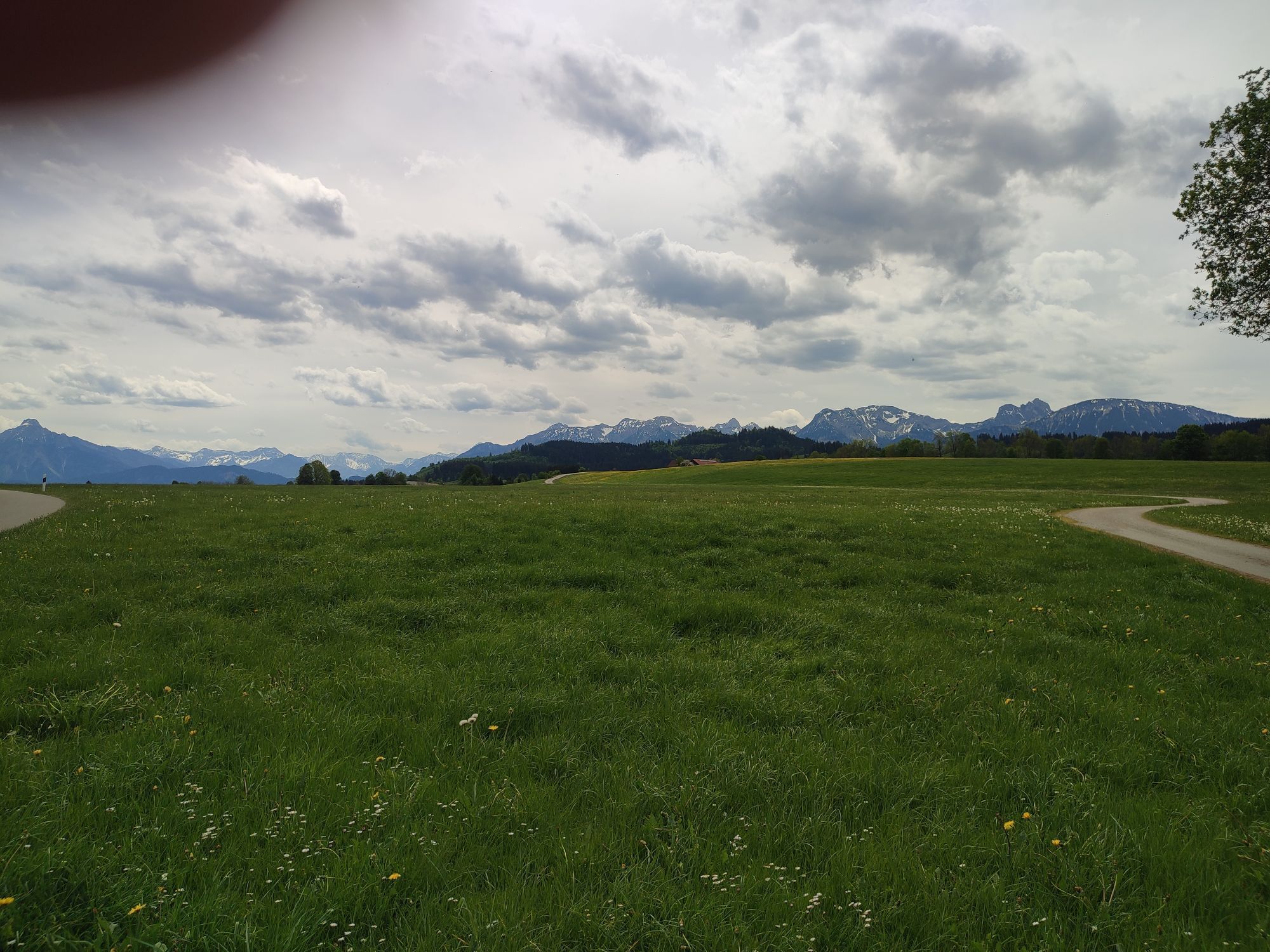
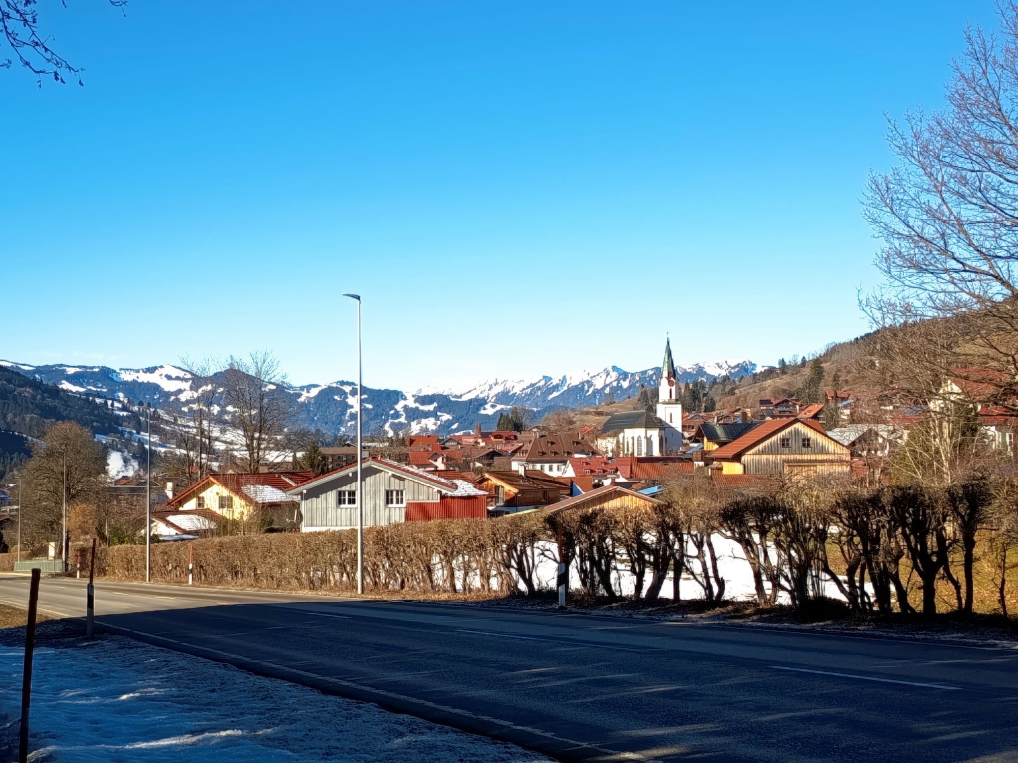
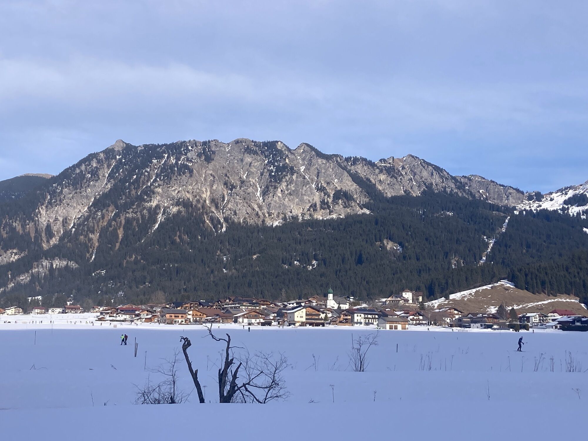
Among cyclists, the Tannheimer Tal has long been known, as in 2001 the peloton of the Austrian Cycling Tour passed through the valley. In 2005, the professional cyclists of the Bayern Tour came to Tirol...
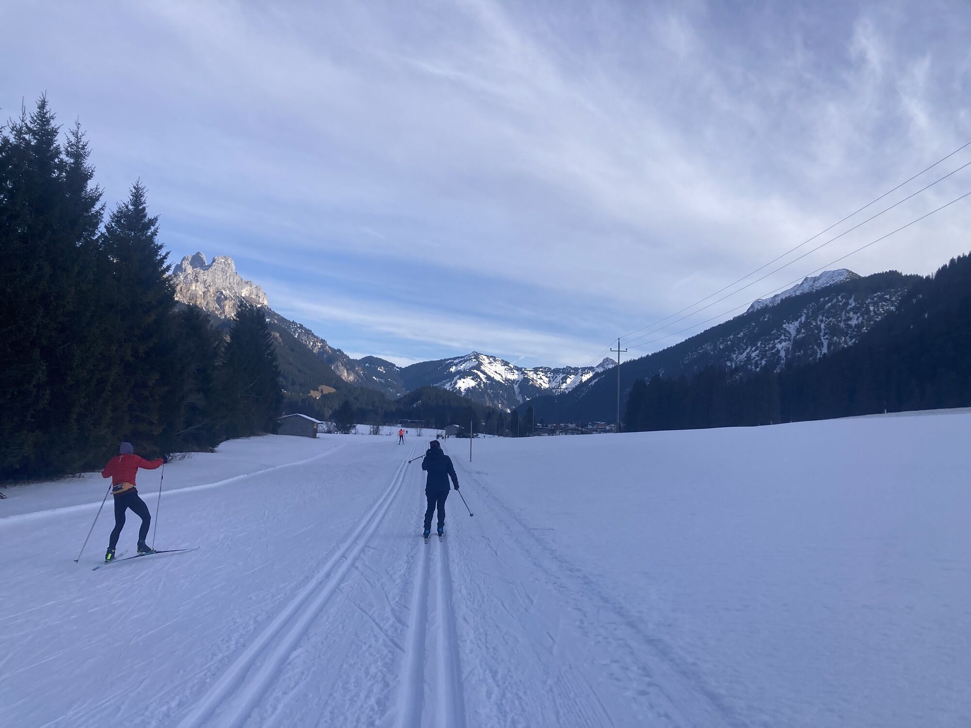
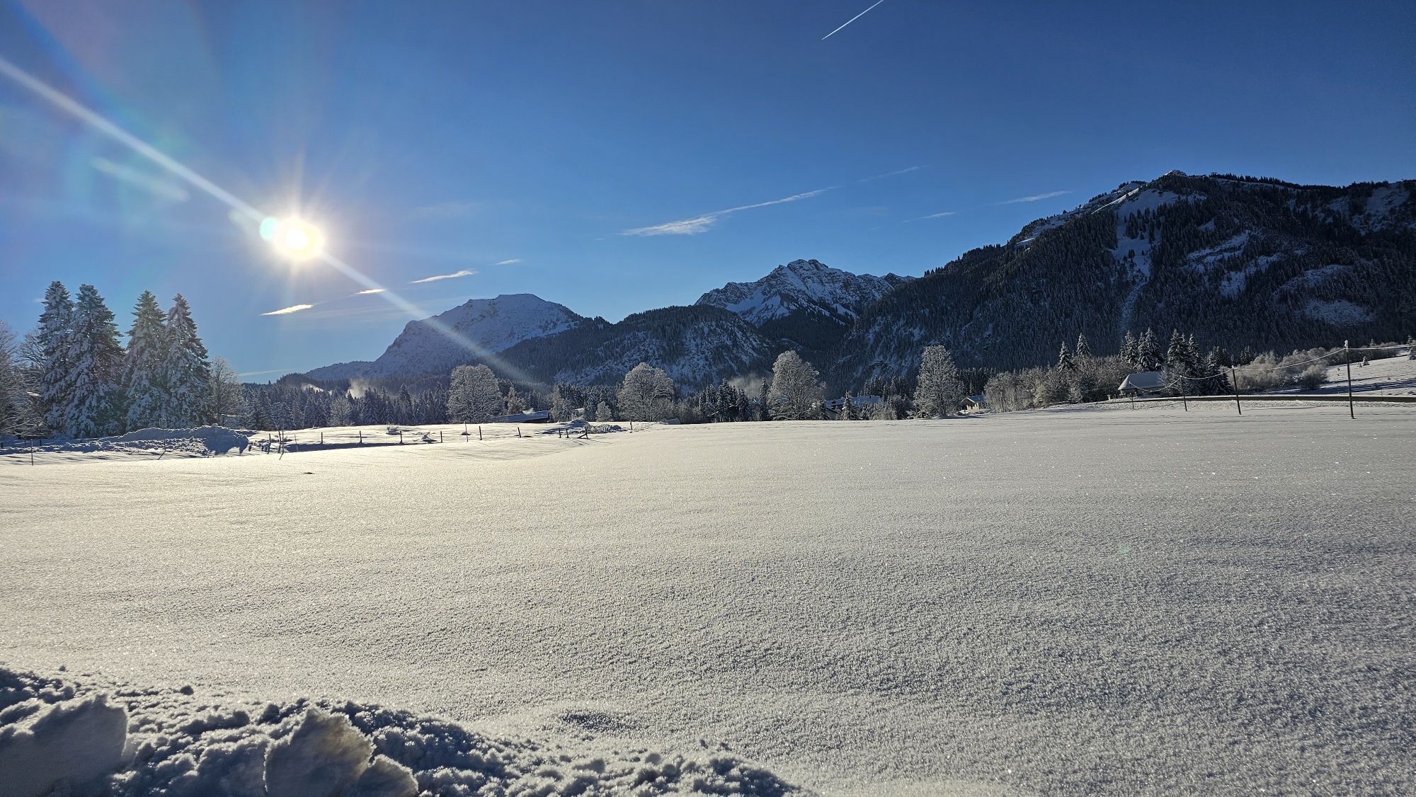
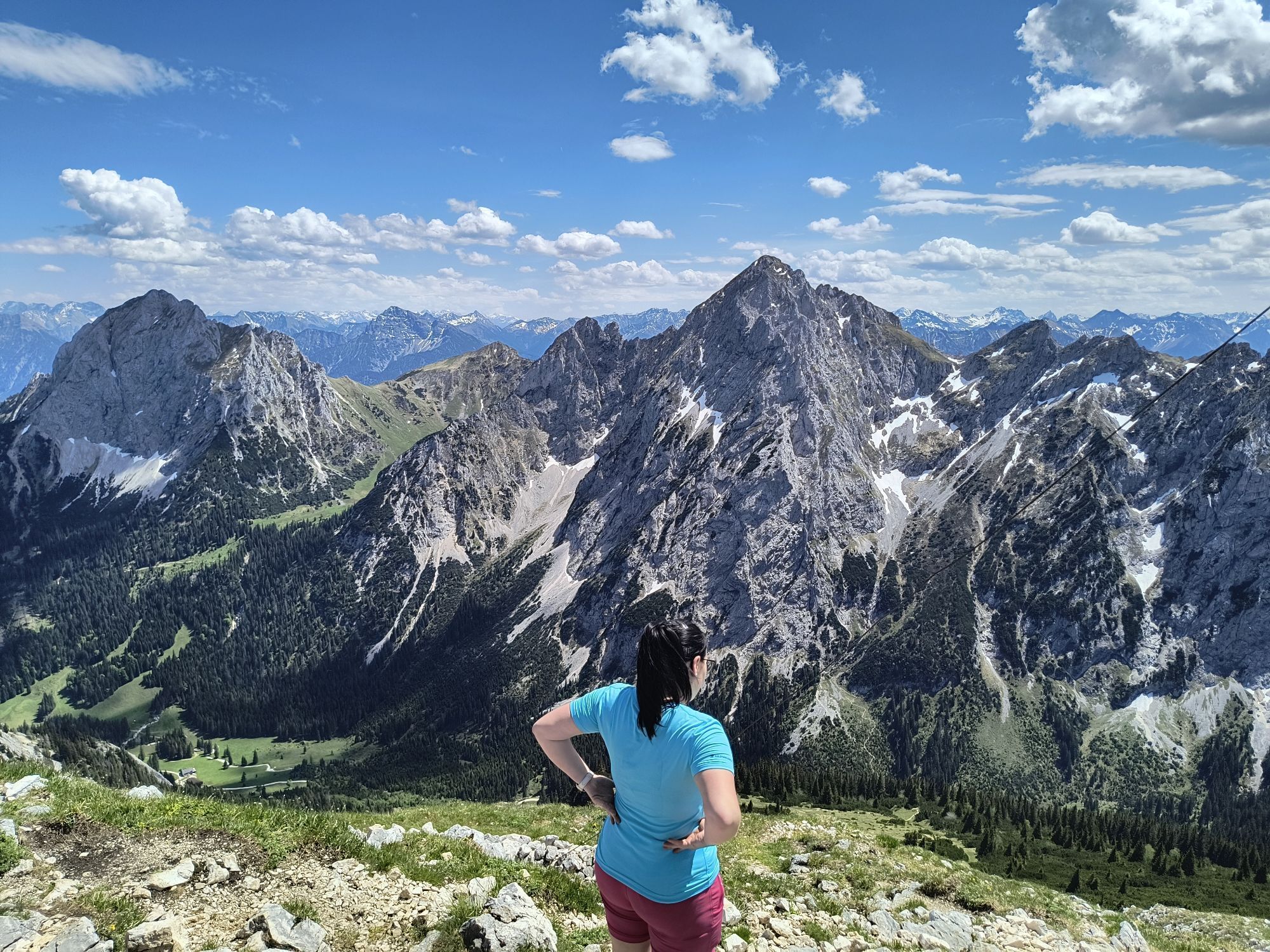
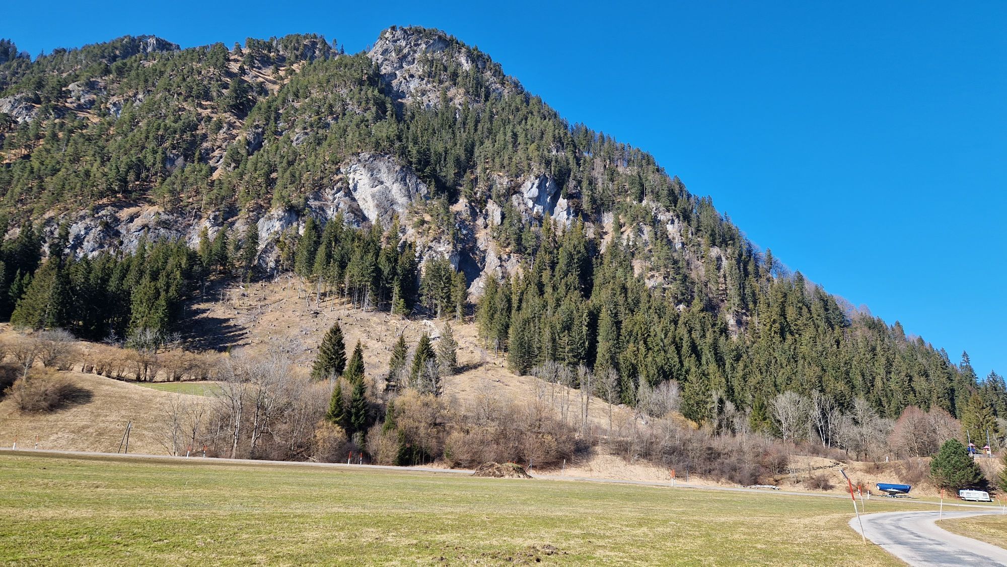
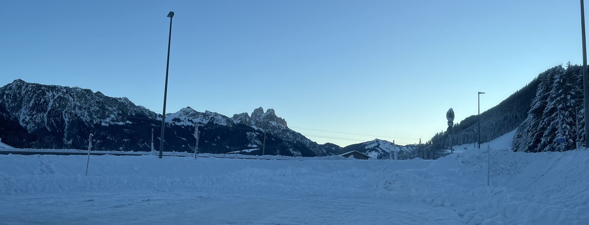
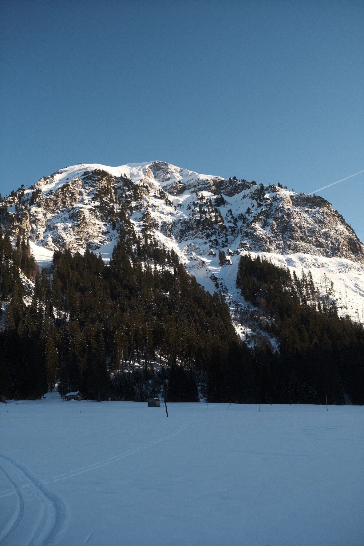
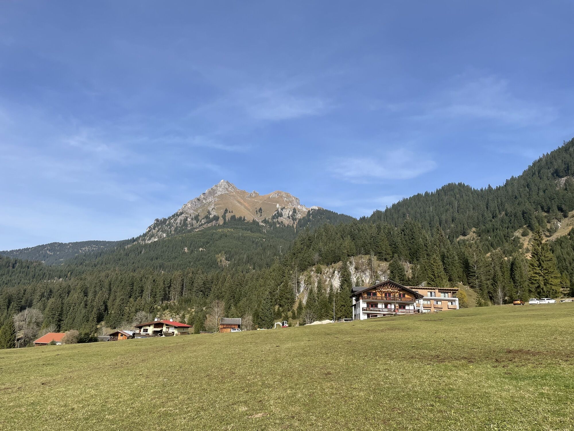
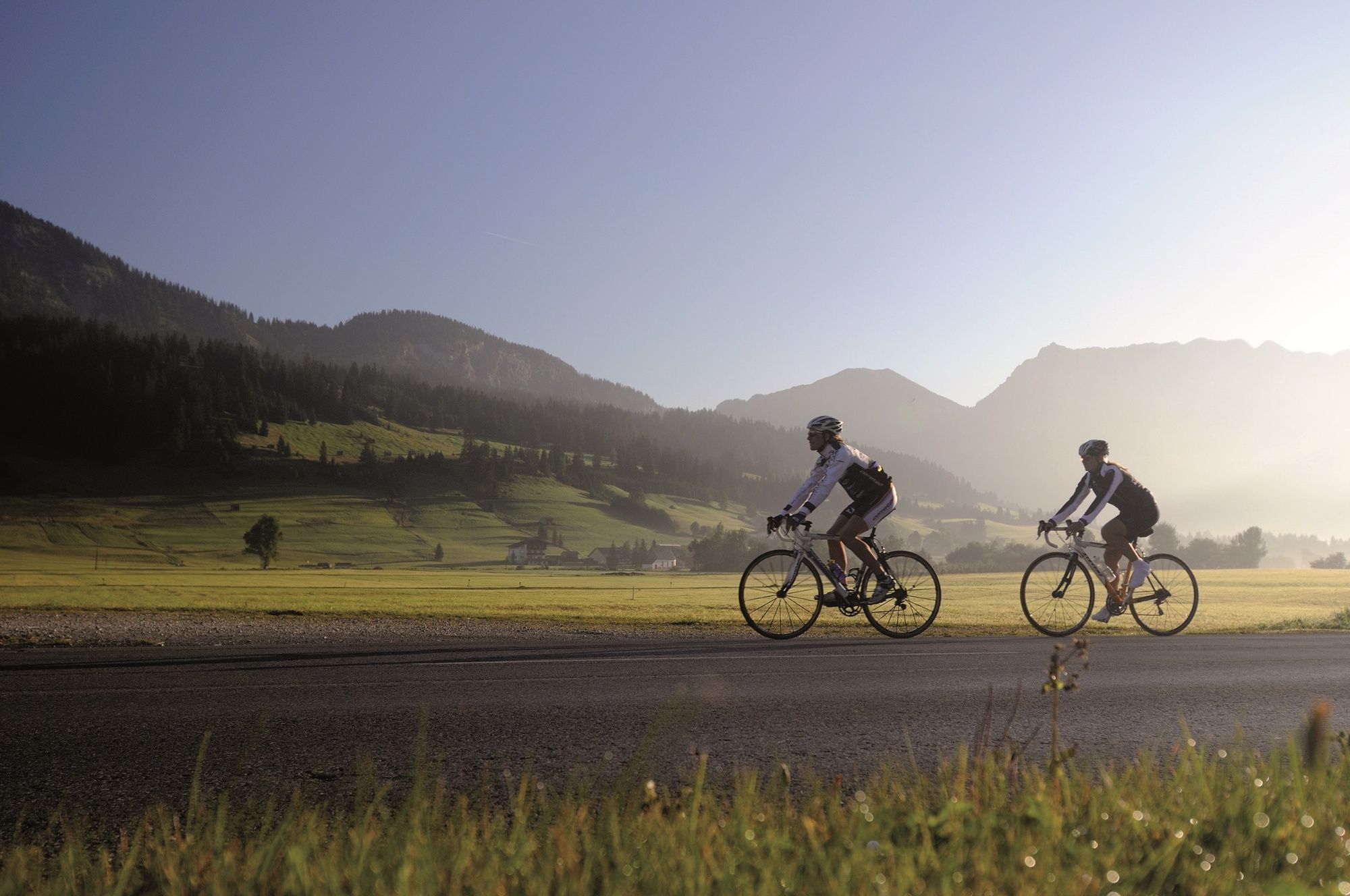
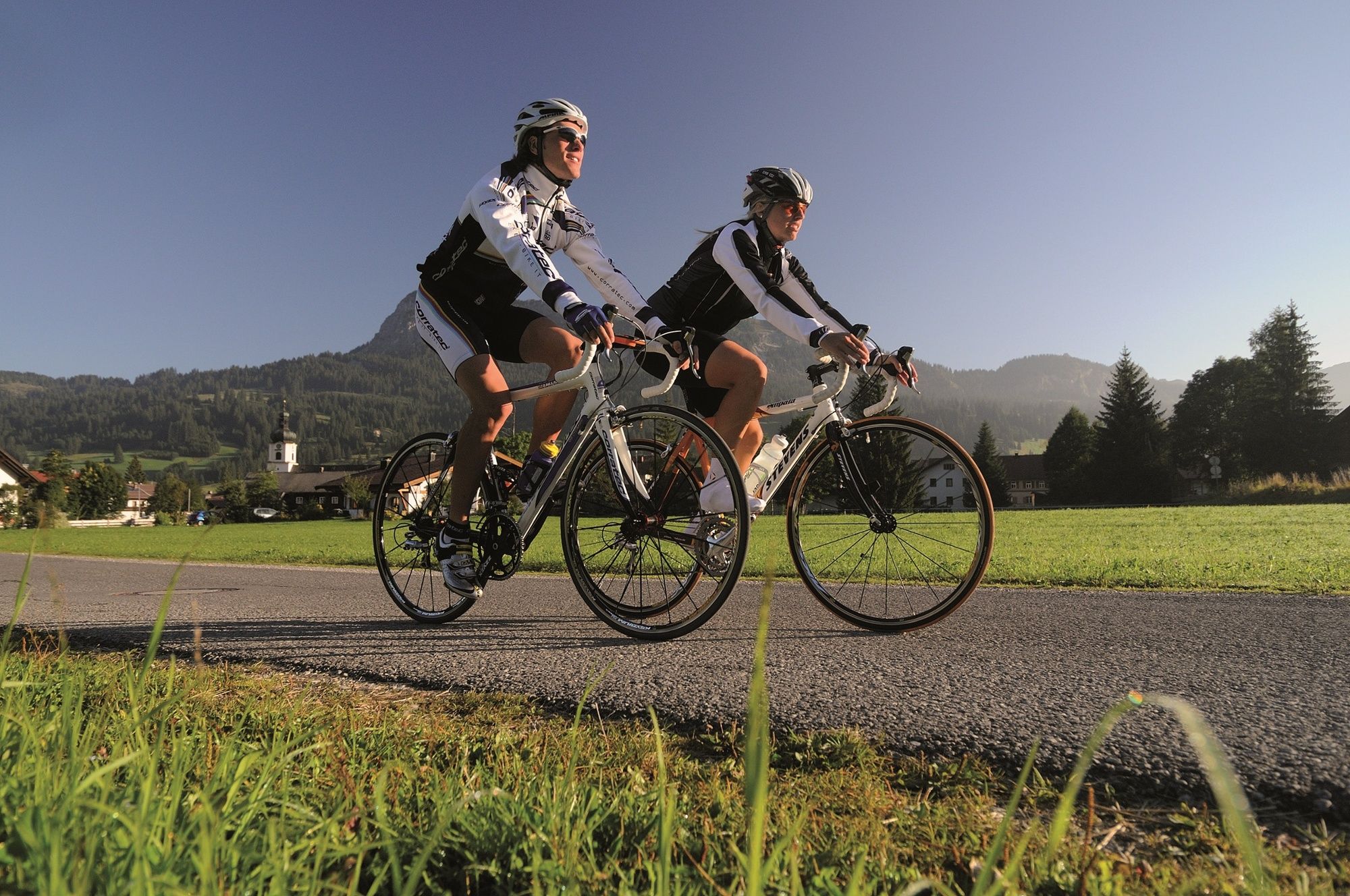
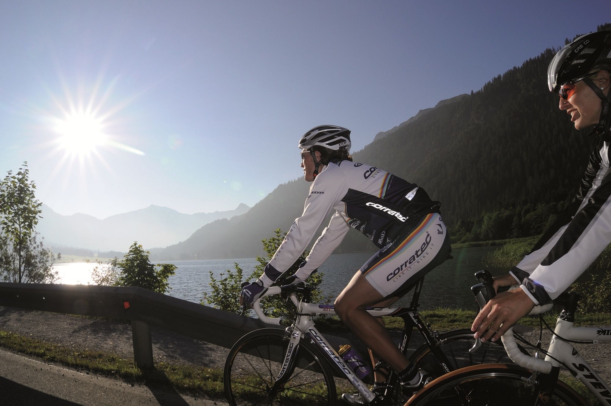
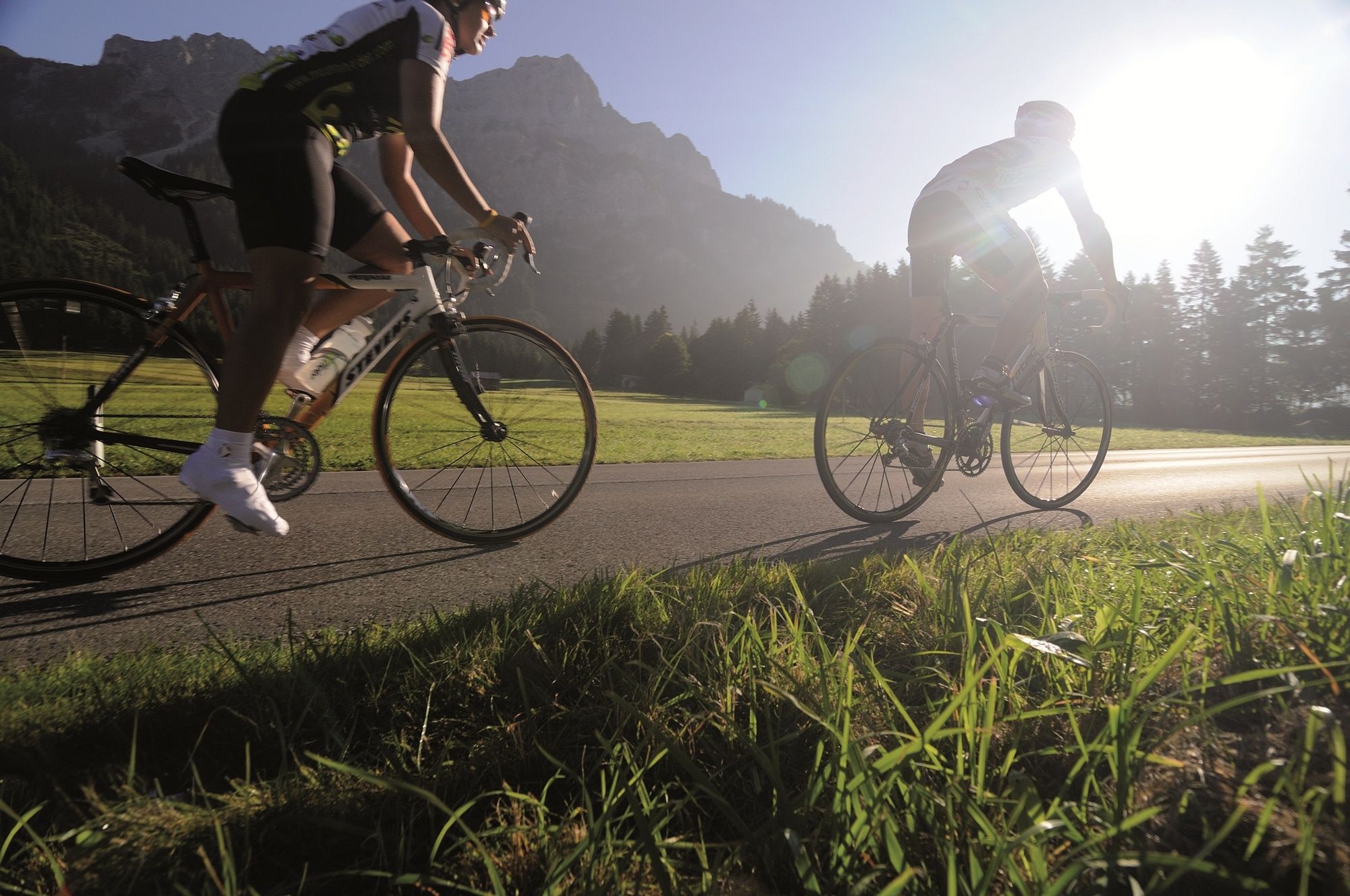
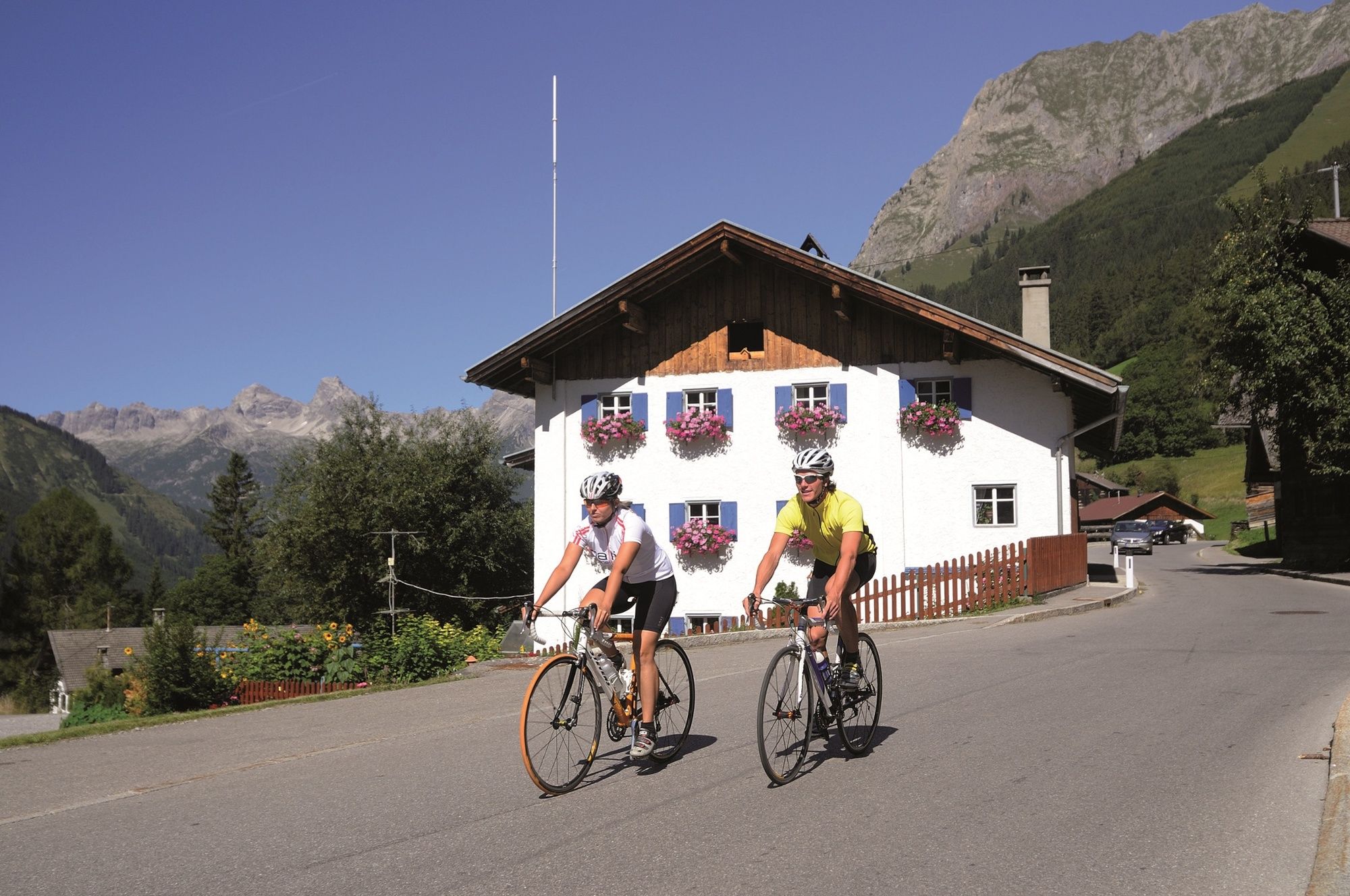
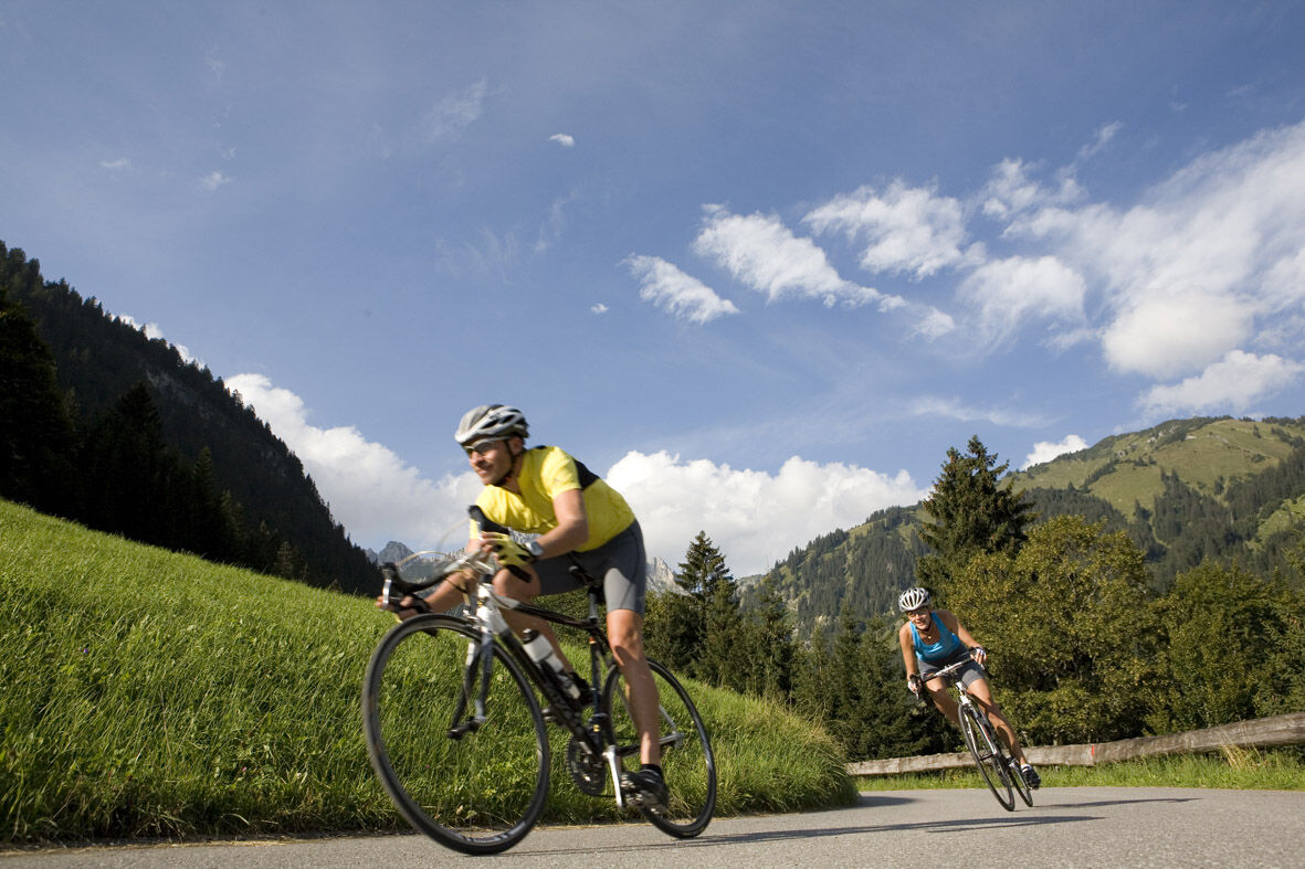
Among cyclists, the Tannheimer Tal has long been known, as in 2001 the peloton of the Austrian Cycling Tour passed through the valley. In 2005, the professional cyclists of the Bayern Tour came to Tirol in the opening stage and were rewarded with the Tannheimer Tal mountain classification and the Jungholz mountain classification. Even professionals noticed the scenic charm of the "probably most beautiful high valley in Europe". Lush green meadows, the Haldensee, and a beautiful mountain backdrop accompanied the pros on their race kilometers. Thus, the Tannheimer Tal has also established itself as an ideal region for targeted training or extensive routes. "The Tannheimer Tal is an ideal starting point for long road bike tours to the surrounding regions such as Lake Constance or the Arlberg," said Michael Keller, managing director of the Tannheimer Tal Tourism Association and former Austrian national mountain bike coach. Cyclists in the Tannheimer Tal find not only the ideal starting point but also a wide range of accommodations. From 5-star hotels to private rooms, you can choose your accommodation. After a beautiful ride, let your soul dangle and recharge your batteries. - The Tannheimer Tal



Start at the tourist information in Tannheim heading west past Zöblen to Schattwald. At Schattwald, a 1.5 km long ascent begins up to the former German customs office Oberjoch. After a short descent at the intersection in Oberjoch, turn left and descend the Jochpaß to Bad Hindelang. Follow the road to Sonthofen. At the third traffic light-controlled intersection, turn right to Burgberg. At the roundabout, go straight to Greggenhofen. Continue following the road to Sulzberg and Durach. In the center of Durach, turn right to Fahls and Tannen. Follow the road to Betzigau and Wildpoldsried. At the end of Wildpoldsried, turn right and follow the road to Unterthingau, Gesenried, and Thalhofen. At the traffic light-controlled intersection, turn right and pass through Wald to Rückholz. In the center, turn left to Batzengschwenden and continue to the Seeweiler intersection. Turn left and at the next intersection turn right to Enzenstetten and Weizern. After Weizern, turn right at the intersection and go via Eisenberg and Zell to Pfronten. After the railway crossing in Pfronten, turn right and at the next intersection follow the signs to Tannheimer Tal. In Pfronten-Steinach, before the church, turn right towards Tannheimer Tal through Engetal on L261 to Grän. At the intersection Grän/Haldensee, turn right to Tannheim back to the starting point.
Personal equipment must be safe, functional, and conform to the respective technical standard. Every road cyclist is recommended to inform themselves about the planned routes in specialist literature or locally.
Complete road bike equipment is strongly recommended even for experienced cyclists!
The road traffic regulations (StVO) apply. General valid and customary rules of conduct.
It should be noted that road cycling carries an increased risk of accidents and injuries. Despite careful route planning, a basic risk always remains. Preparing for tours through endurance sports, appropriate training and education, as well as personal caution, reduces the risk of accidents and dangers.
On the A7 motorway at the "Oy-Mittelberg" exit take the B310 towards Wertach and Oberjoch. There, follow the signs "Tannheimer Tal" B199, exit Tannheim. From the Tyrolean side, via Reutte on the B198 towards Lechtal to Weißenbach, over the Gaichtpass along the B199 to the Tannheim exit.
By train to Sonthofen, Pfronten/Ried or Reutte, then by bus to Tannheim.
Parking spaces at the Neunerköpfle gondola in Tannheim – subject to charges.
4
Tourismusverband Tannheimer Tal
Tyrolean and Allgäu delicacies in the restaurants along the route await you.
Kamery internetowe z trasy
-
Tannheim
-
Zöblen
-
Bad Hindelang/Oberjoch
-
Haldensee - Neunerköpfle
-
Skizentrum Steinach / Pfronten
-
Breitenberg Bergstation
-
Pfronten-Halden / Hotel Zugspitzblick
-
Pfronten - Boutique Hotel Blaue Burg Falkenstein
-
Grän - Almdorf Tirol
-
Kempten
-
Talstation Ossi-Reichert Bahn
-
Durach - Verkehrslandeplatz
-
Pfronten - Ostlerhütte
-
Eisenberg - Burgruine
-
Grän - Hotel Bergblick
-
Bad Hindelang/Oberjoch
-
Bad Hindelang/Oberjoch
-
Bad Hindelang/Oberjoch
-
Bad Hindelang - Hotel Prinz-Luitpold-Bad
-
Seeg - Honigdorf
-
Nesselwang - Alpspitzbahn Sportheim Böck
-
Sonthofen - Panzer & Braun Tiefbau
-
Füssener Jöchle Bergstation
-
Obere Halde
-
Füssener Jöchle Bergstation
-
Füssener Jöchle Bergstation
-
Füssener Jöchle Bergstation
-
Füssener Jöchle Bergstation
-
Füssener Jöchle Bergstation
-
Obere Halde
-
Obere Halde
-
Obere Halde
-
Oberjoch, Iselerbahn
-
Petersthal am Rottachsee
-
Petersthal am Rottachsee
-
Tannheimertal
-
Füssen Appartementhotel Seespitz
-
Waltenhofen Memhölz - Geratser Hof
-
Breitenbergbahn - Pfronten
-
Pfronten - Skizentrum
Uzyskaj wgląd
Zawsze na żywo z ponad 9 500 kamer internetowych. bergfex Jako użytkownik Pro, możesz teraz zobaczyć odpowiednie kamery internetowe dla wielu wycieczek w aplikacji wycieczki od. Pozwala to na bezpośredni podgląd aktualnych warunków.
Popularne wycieczki w okolicy
-
4,7
Around Weißensee
światłoWędrówka 6,12 km -
5,0
Hiking tour to Breitenberg
ciężkiWędrówka 15,6 km -
4,9
Gemeinde Grän, Tirol/Österreich Aggenstein Rundtour über Höhenweg
średniWędrówka 9,84 km -
4,4
Höllschlucht hike » Water & Forest
średniWędrówka 7,38 km -
3,9
Klassikertour: Auf den Grünten
ciężkiWędrówka 8,50 km -
4,8
Iseler und Kühgundkopf
średniWędrówka 7,63 km -
4,7
3-Gipfel-Tour
średniWędrówka 11,2 km -
4,9
Do schroniska Bad Kissinger Hütte przez Gräner Höhenweg
średniWędrówka 13,0 km -
4,4
Wanderung auf den grünten
średniWędrówka 8,31 km -
4,6
Mountain hike to the Aggenstein
ciężkiWędrówka 15,3 km
Wędrówki i tropienie


Nie przegap ofert i inspiracji na następne wakacje
Twój adres e-mail została dodana do listy mailingowej.





