


Königssträssle
Poziom trudności: 4
The Tannheimer Tal has been well known among cyclists for some time, as in 2001 the peloton of the Austrian Cycling Tour passed through the valley. In 2005, the cycling pros of the Bayern Rundfahrt reached...
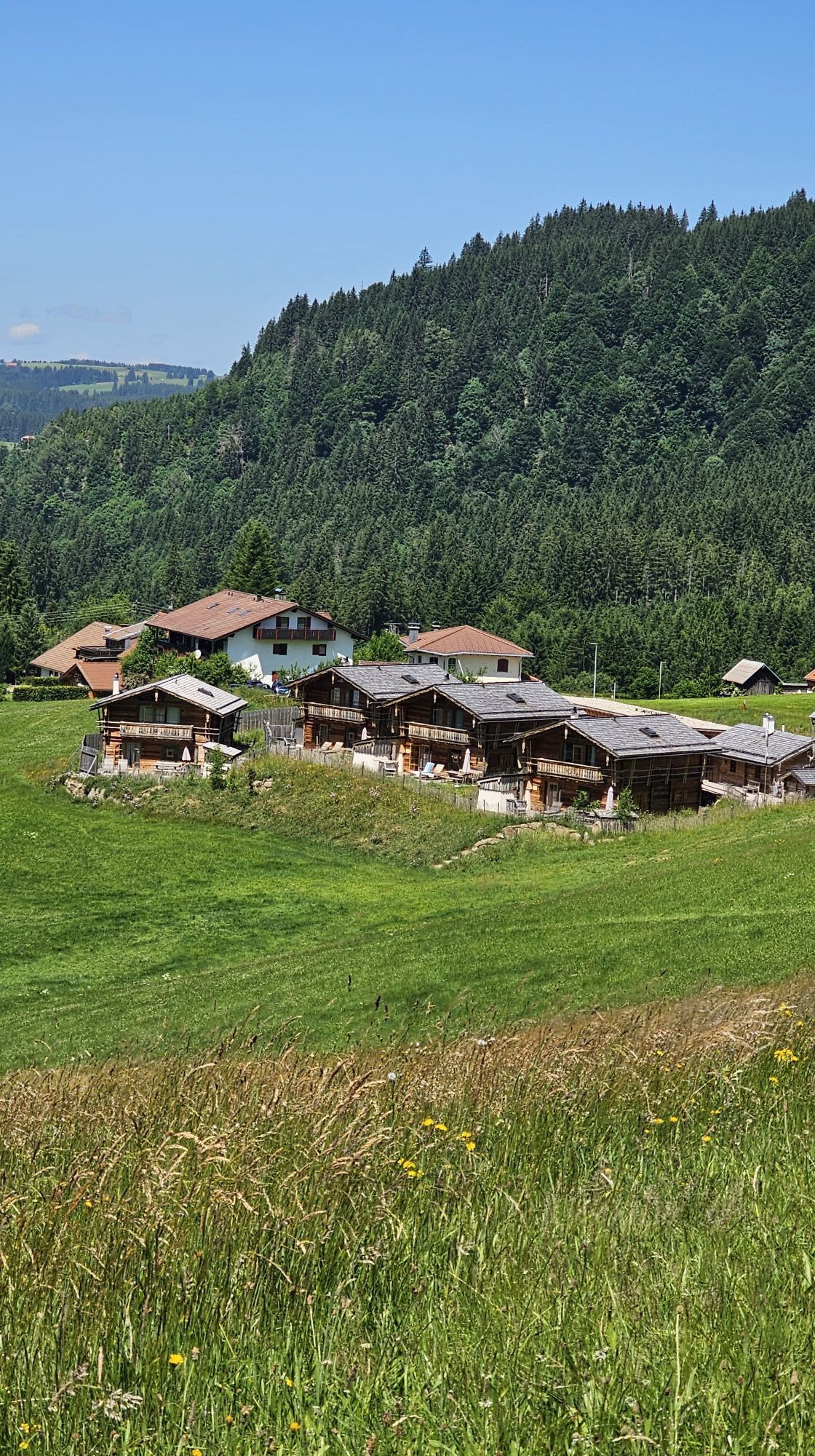
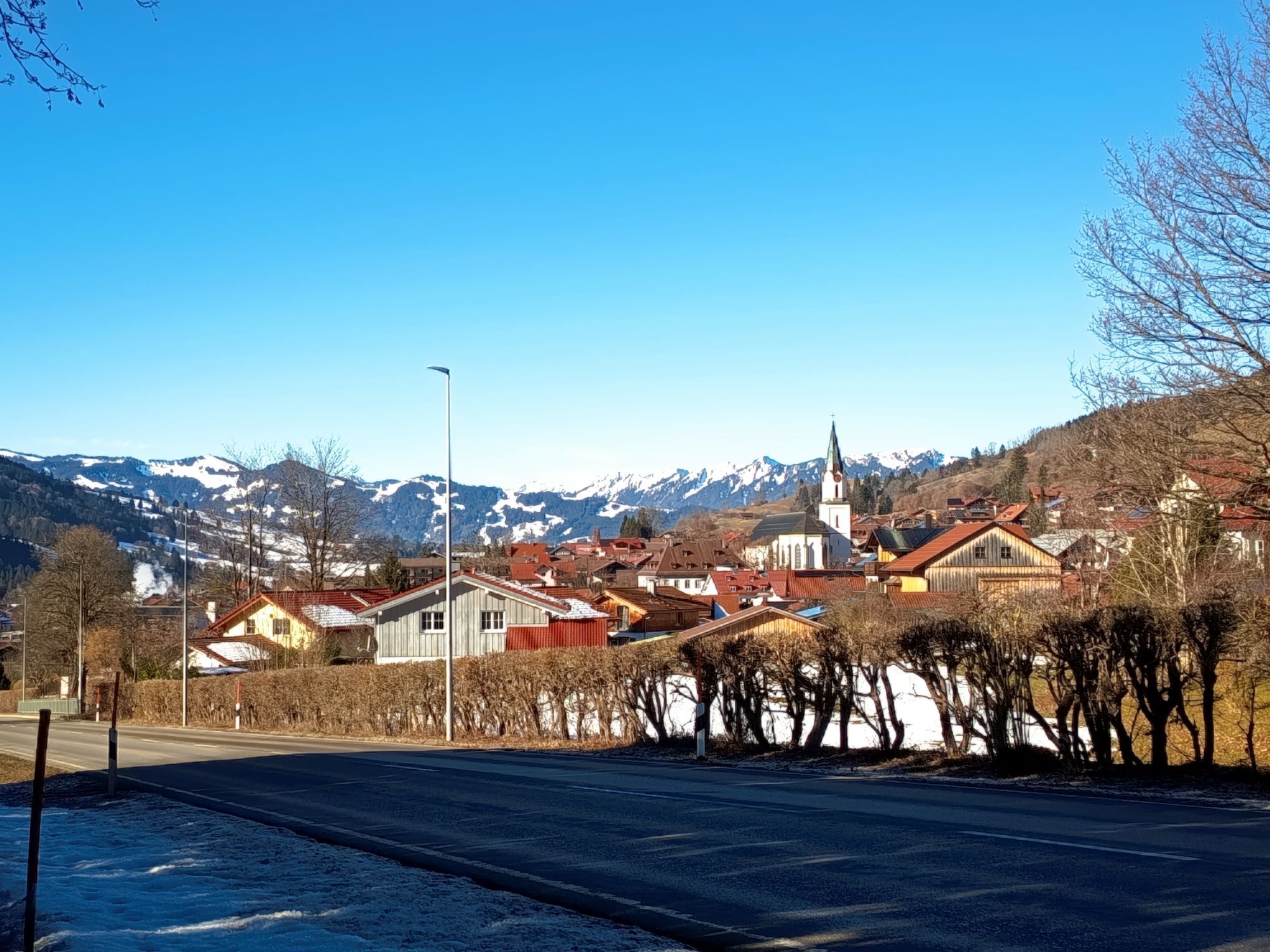
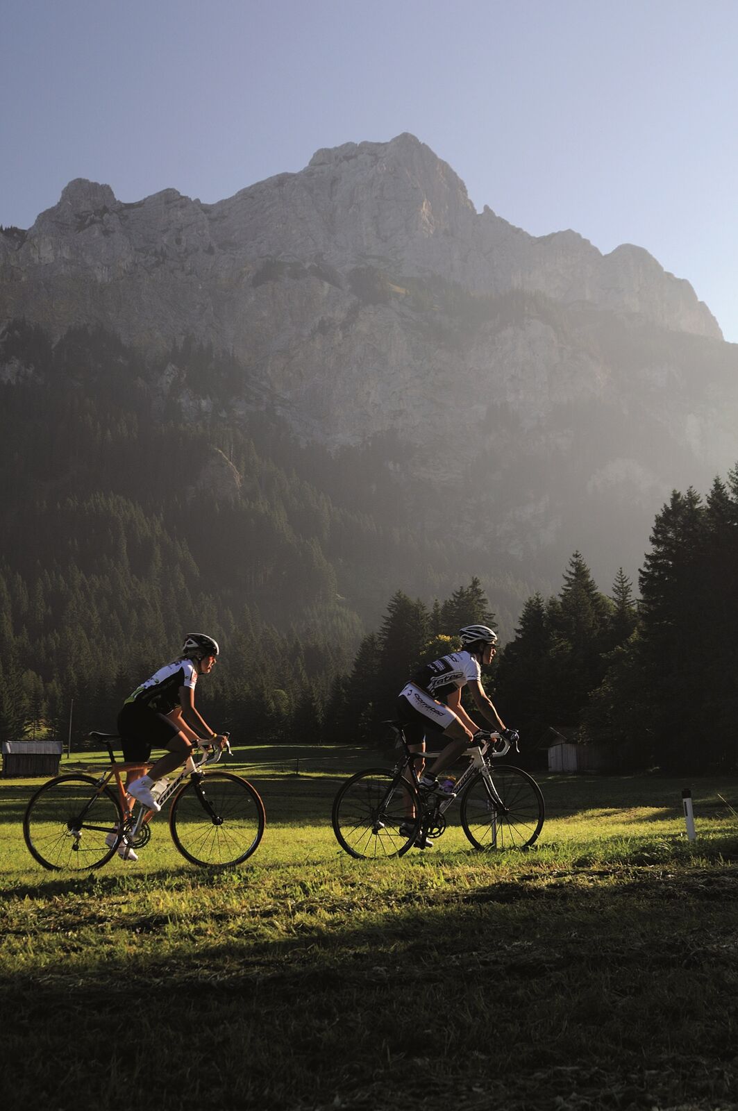
The Tannheimer Tal has been well known among cyclists for some time, as in 2001 the peloton of the Austrian Cycling Tour passed through the valley. In 2005, the cycling pros of the Bayern Rundfahrt reached Tyrolean soil in the opening stage and were rewarded with the mountain classifications Tannheimer Tal and Jungholz. Even professionals were captivated by the scenic attractions of the "probably most beautiful high valley in Europe." Lush green meadows, Lake Haldensee, and a beautiful mountain backdrop accompanied the cyclists on their competitive kilometers. Thus, the Tannheimer Tal has also been promoted as an ideal region for targeted training or extended routes. "The Tannheimer Tal is an ideal starting point for long road bike routes to the surrounding regions, such as Lake Constance or the Arlberg," says Michael Keller, Managing Director of the Tannheimer Tal Tourism Association and former Austrian national mountain bike coach. Cyclists find not only the ideal starting point in the Tannheimer Tal but also a wide range of accommodations. From 5-star hotels to private rooms, you can choose your accommodation. After a beautiful ride, you can relax and recharge your batteries. - The Tannheimer Tal


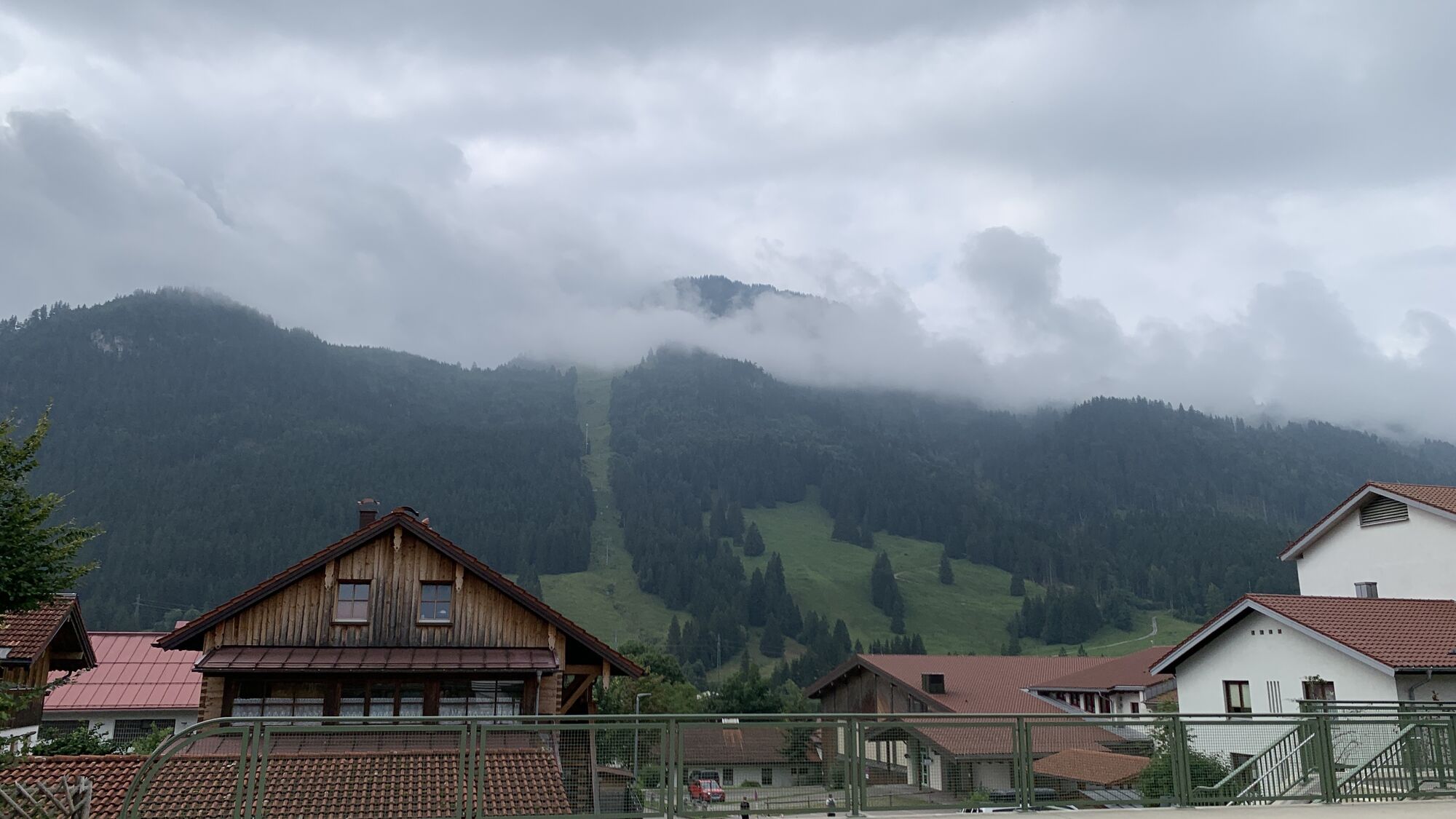
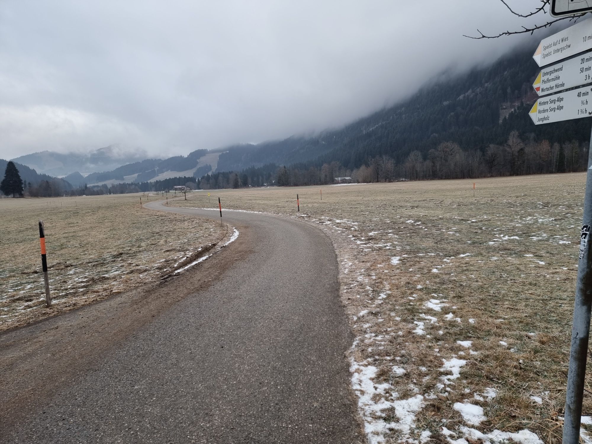
Start at the tourist information office in Tannheim heading west towards Schattwald. At Schattwald, a 1.5 km climb begins up to the former German customs office Oberjoch. After a short descent at the intersection, turn right to Unterjoch. Continue towards Jungholz, turn right at Pfeiffermühle, over a climb to Jungholz. Follow the road through the town and enjoy the beautiful descent, then turn right at the intersection towards Wertach. At the traffic light-controlled intersection in Wertach, turn left. At the intersection in the town center, go straight to the town's end. Follow the road and after about 2.6 km, at the parking lot on the left side, turn left. Continue on the Königssträssle, dotted with 2 climbs and 2 descents to Burgberg. Continue to Sonthofen, at the traffic light-controlled intersection turn left towards Oberjoch/Reutte, pass through Binswangen, Reckenberg, Vorderhindelang to Bad Hindelang. Here follows the climb over the Jochpass, with a max. 7% incline, to Oberjoch. In Oberjoch, turn left at the intersection and follow the federal road back to the starting point in Tannheim.
Tak
Personal equipment must be safe, functional, and comply with the respective technical standards. Every road cyclist is recommended to get information about the planned routes from specialist literature or on site.
Complete road bike equipment is strongly recommended even for experienced riders!
It should be noted that road cycling involves an increased risk of accidents and injuries. Despite careful route planning, a basic risk always remains. Preparing the route through endurance sports, appropriate training and further education as well as personal prudence reduces the risk of accidents and hazards.
On the A7 motorway at the exit "Oy-Mittelberg" take the B310 towards Wertach and then to Oberjoch. There follow the signs "Tannheimer Tal" B199, exit at Tannheim. From the Tyrolean side via Reutte on the B198 towards Lechtal to Weißenbach, over the Gaichtpass along the B199 to exit Tannheim.
By train to Sonthofen, Pfronten/Ried or Reutte, then continue by bus to Tannheim.
Parking spaces at the Neunerköpfle cable car in Tannheim – subject to charges.
4
Tourismusverband Tannheimer Tal
Rennradfahren im Tannheimer Tal
Kamery internetowe z trasy
-
Tannheim
-
Zöblen
-
Bad Hindelang/Oberjoch
-
Neunerköpfle Mittelstation
-
Grän - Almdorf Tirol
-
Neunerköpfle Mittelstation
-
Neunerköpfle Mittelstation
-
Neunerköpfle Mittelstation
-
Neunerköpfle Mittelstation
-
Neunerköpfle Mittelstation
-
Neunerköpfle Mittelstation
-
Neunerköpfle Mittelstation
-
Talstation Ossi-Reichert Bahn
-
Allgäuhaus Wertach
-
Grän - Hotel Bergblick
-
Oberellegg - Wertach
-
Bad Hindelang/Oberjoch
-
Bad Hindelang/Oberjoch
-
Bad Hindelang/Oberjoch
-
Bad Hindelang - Hotel Prinz-Luitpold-Bad
-
Sonthofen - Panzer & Braun Tiefbau
-
Obere Halde
-
Obere Halde
-
Obere Halde
-
Obere Halde
-
Obere Halde
-
Oberjoch, Iselerbahn
-
Tannheimertal
-
Sonthofen
-
Grünten
-
Grünten
-
Grünten
-
Grünten
-
Grünten
-
Blaichach - Gunzesried
-
Gundhütte - Tannheimertal
-
Bad Hindelang - Chalet Hirschbach
-
Kinderhotel Oberjoch - Bad Hindelang
-
Kinderhotel Oberjoch - Bad Hindelang
-
Talstation Neunerköpfle - Tannheim
Popularne wycieczki w okolicy
-
5,0
Gemeinde Grän, Tirol/Österreich Aggenstein Rundtour über Höhenweg
średniWędrówka 9,84 km -
4,9
Tannheim / Vilsalpsee / Landsberger Hütte
średniWędrówka 15,7 km -
4,8
3-Gipfel-Tour
średniWędrówka 11,2 km -
4,8
Unterer Gaisalpsee
średniWycieczka wysokogórska 8,64 km -
4,2
Three-lake route (awarded the Tyrolean Hiking Trail Seal of Quality)
średniWędrówka 14,8 km -
3,9
Klassikertour: Auf den Grünten
ciężkiWędrówka 8,50 km -
4,8
Iseler und Kühgundkopf
średniWędrówka 7,63 km -
4,9
Rubihorntour
średniWycieczki górskie 13,0 km -
4,7
Rubihorn
średniWędrówka 9,06 km -
4,6
3-Seen Rundtour Vilsalpsee / Schrecksee / Traualpsee
średniWędrówka 17,1 km
Wędrówki i tropienie


Nie przegap ofert i inspiracji na następne wakacje
Twój adres e-mail została dodana do listy mailingowej.