


Häselgehr-Gramais
Poziom trudności: 4
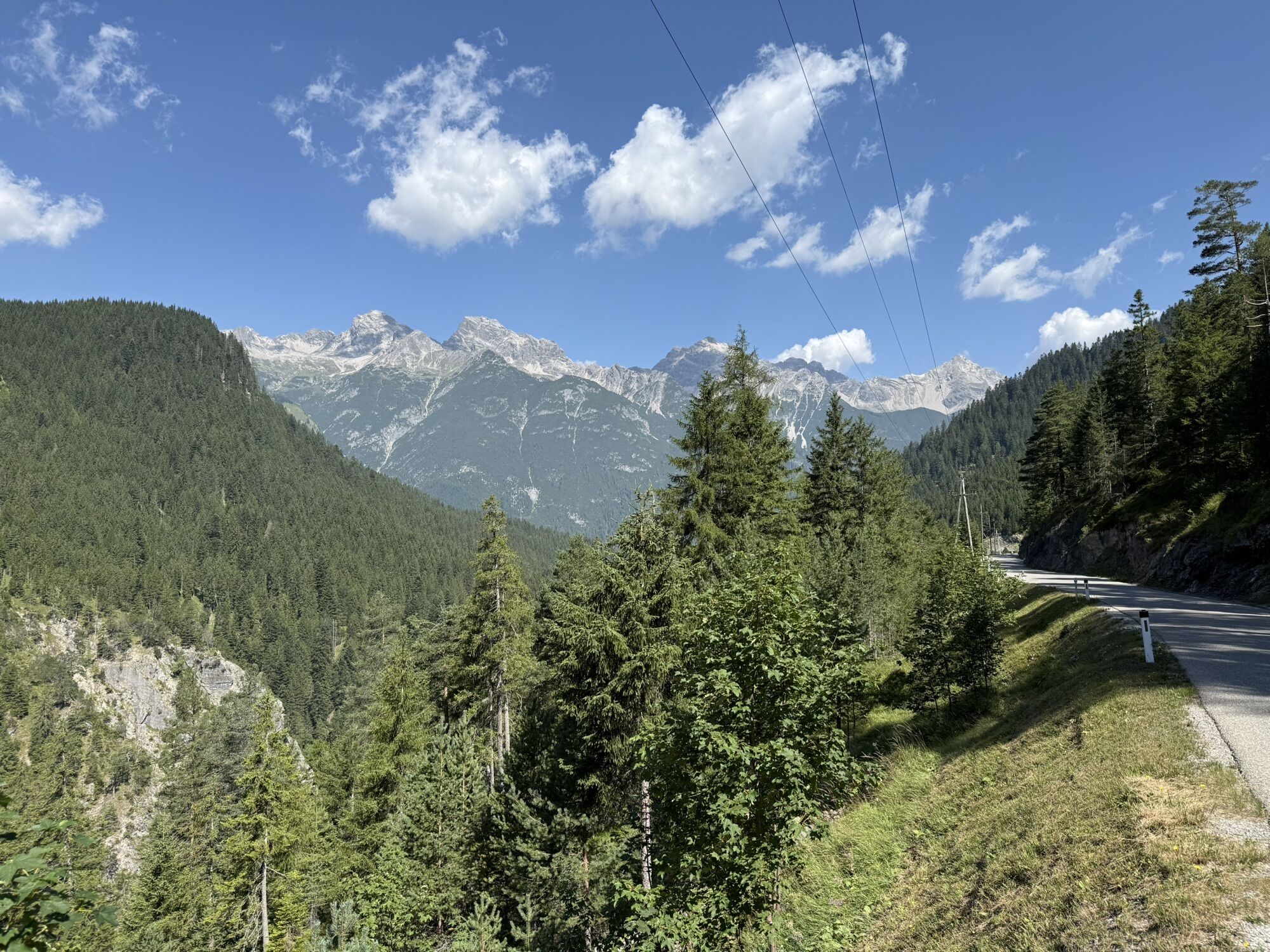

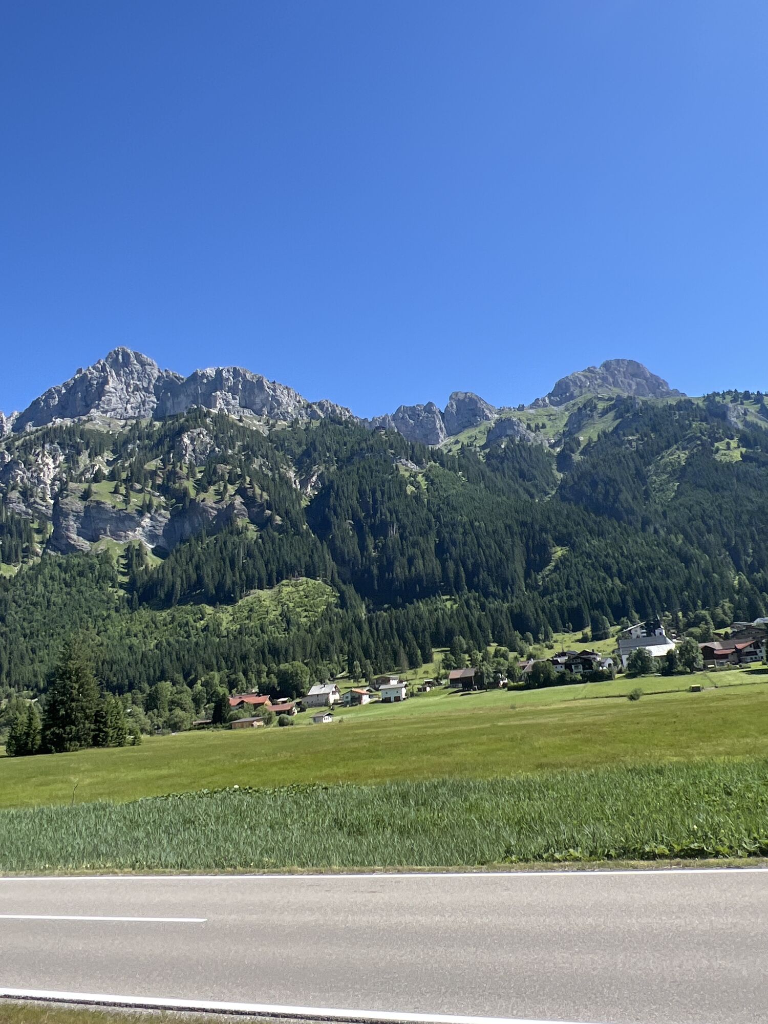
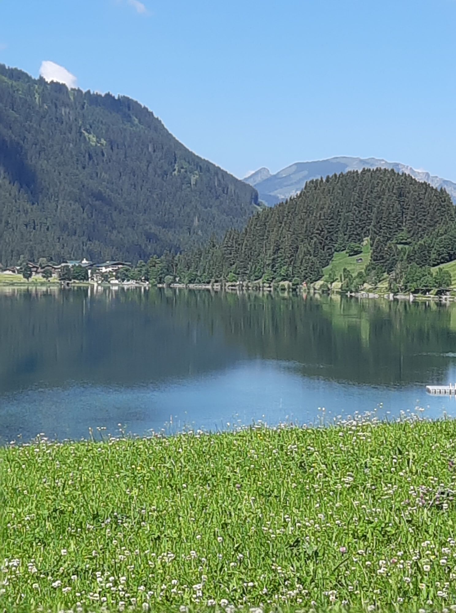
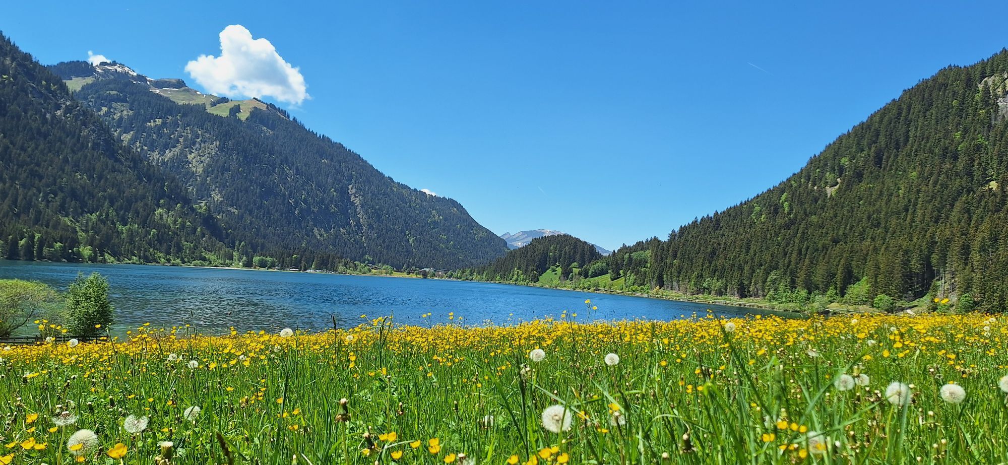
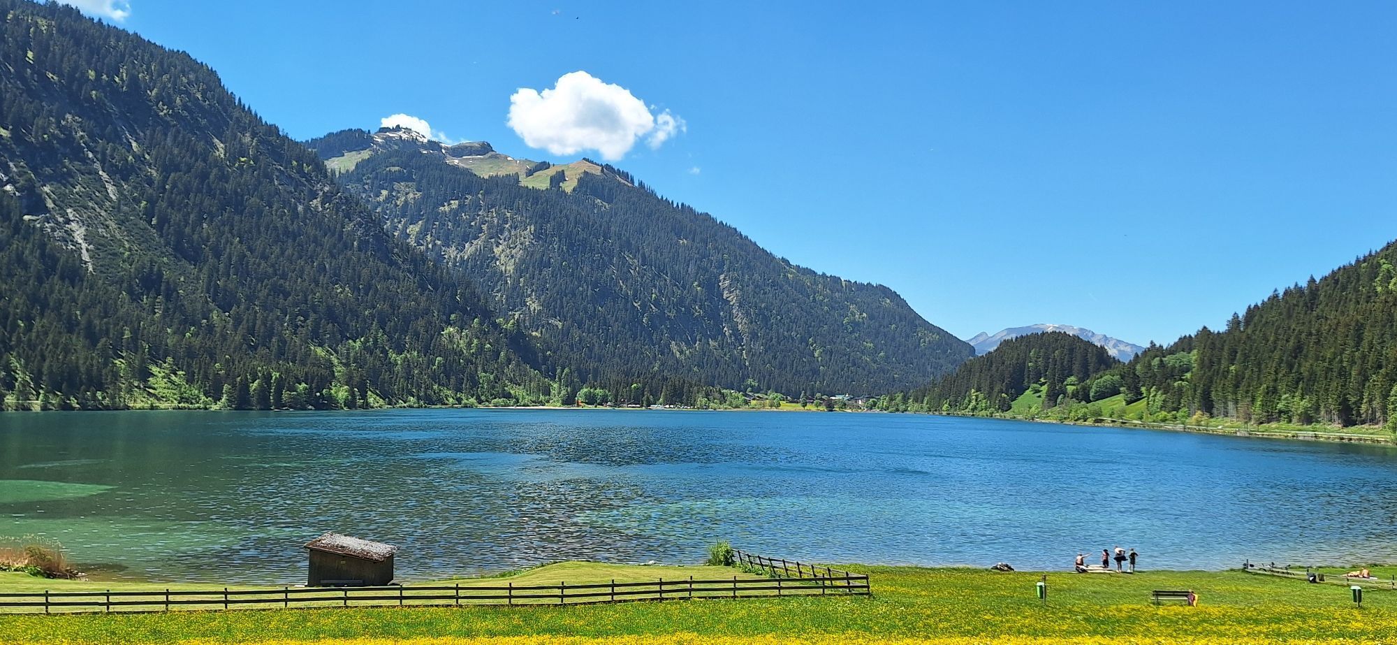
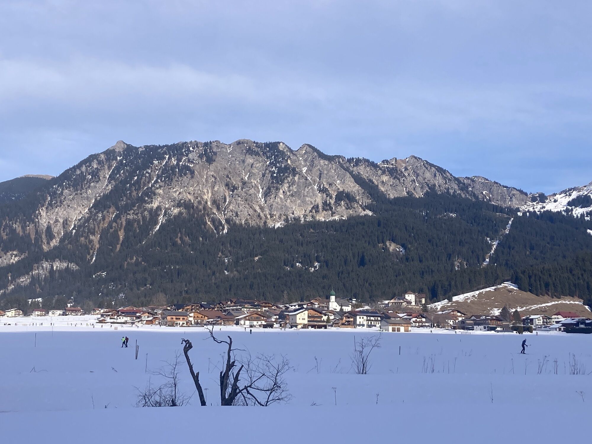
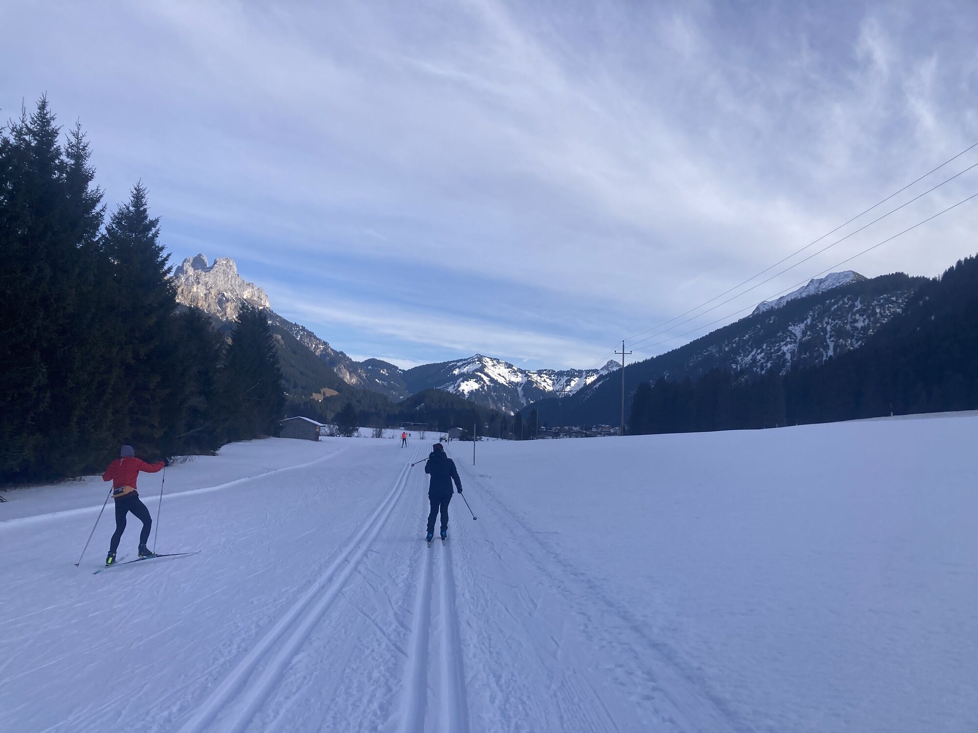
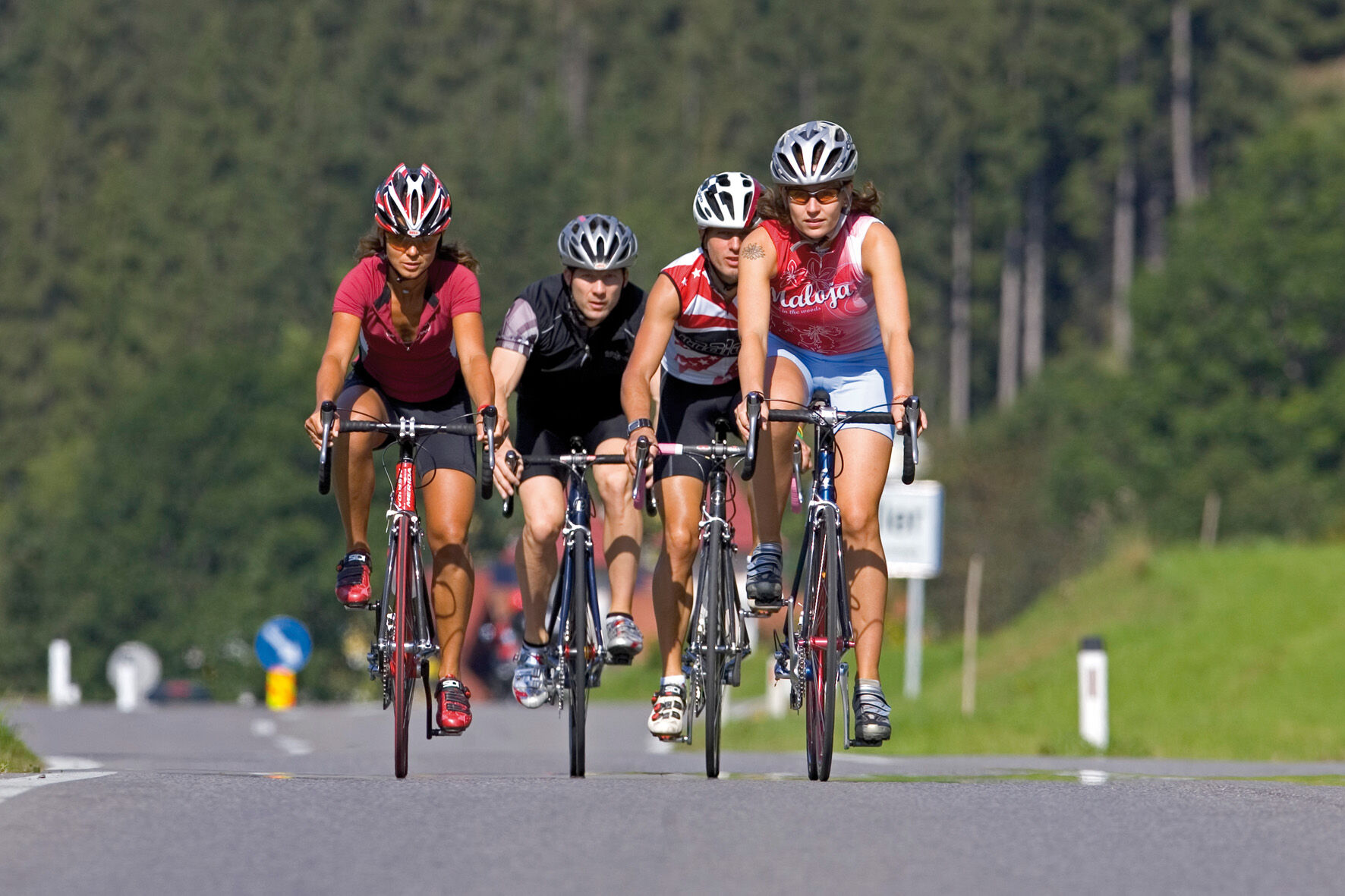
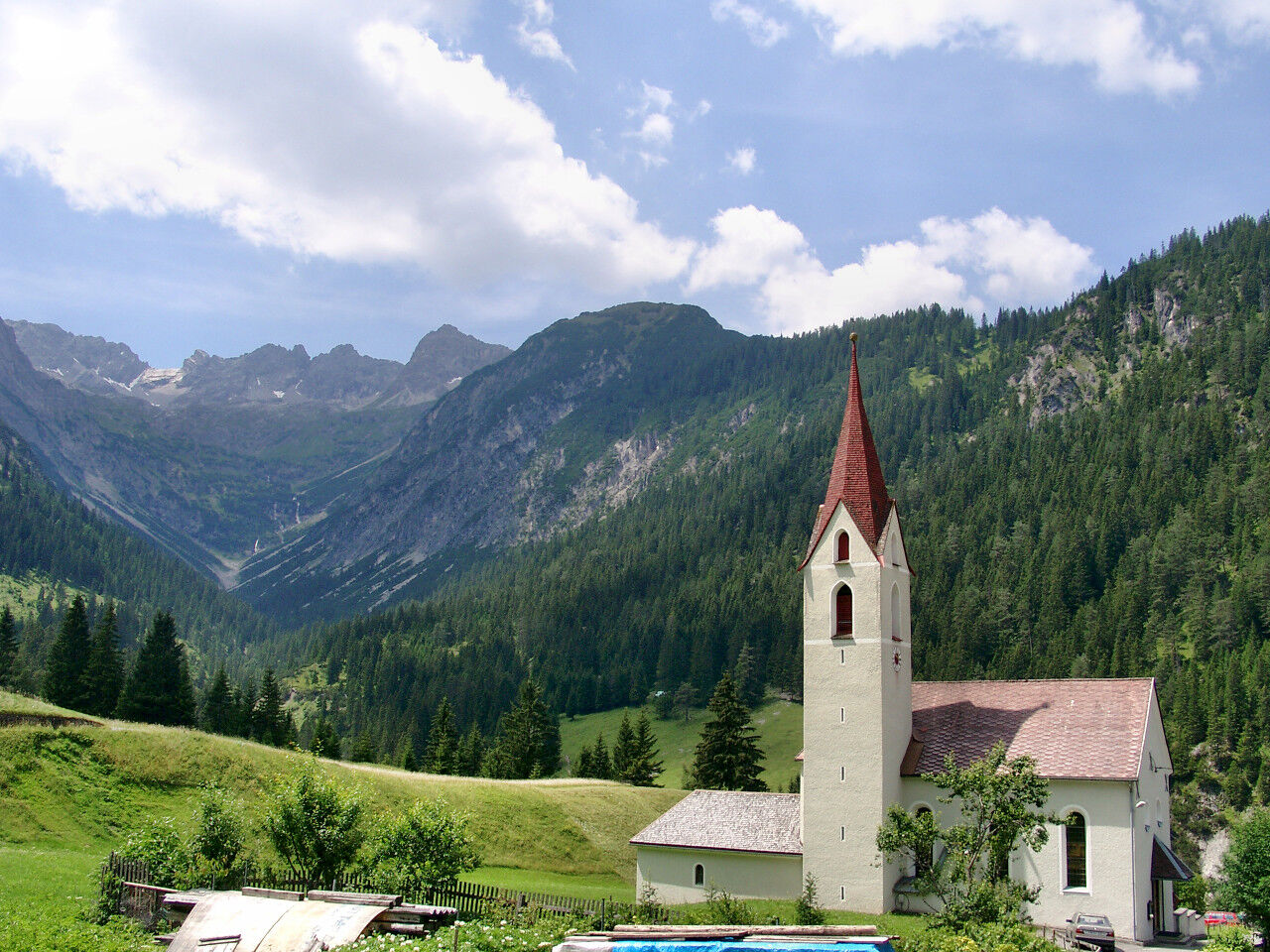
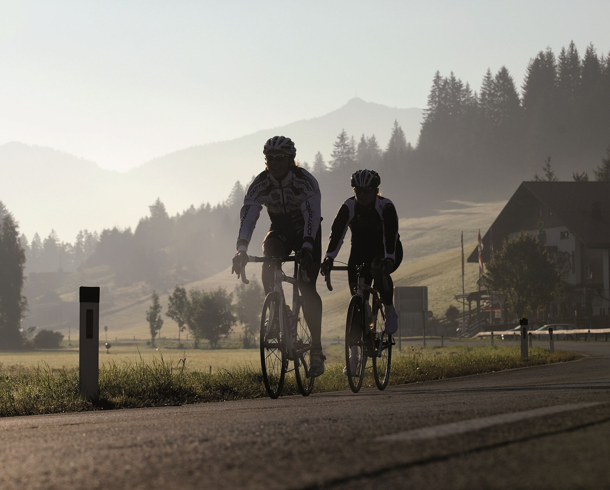
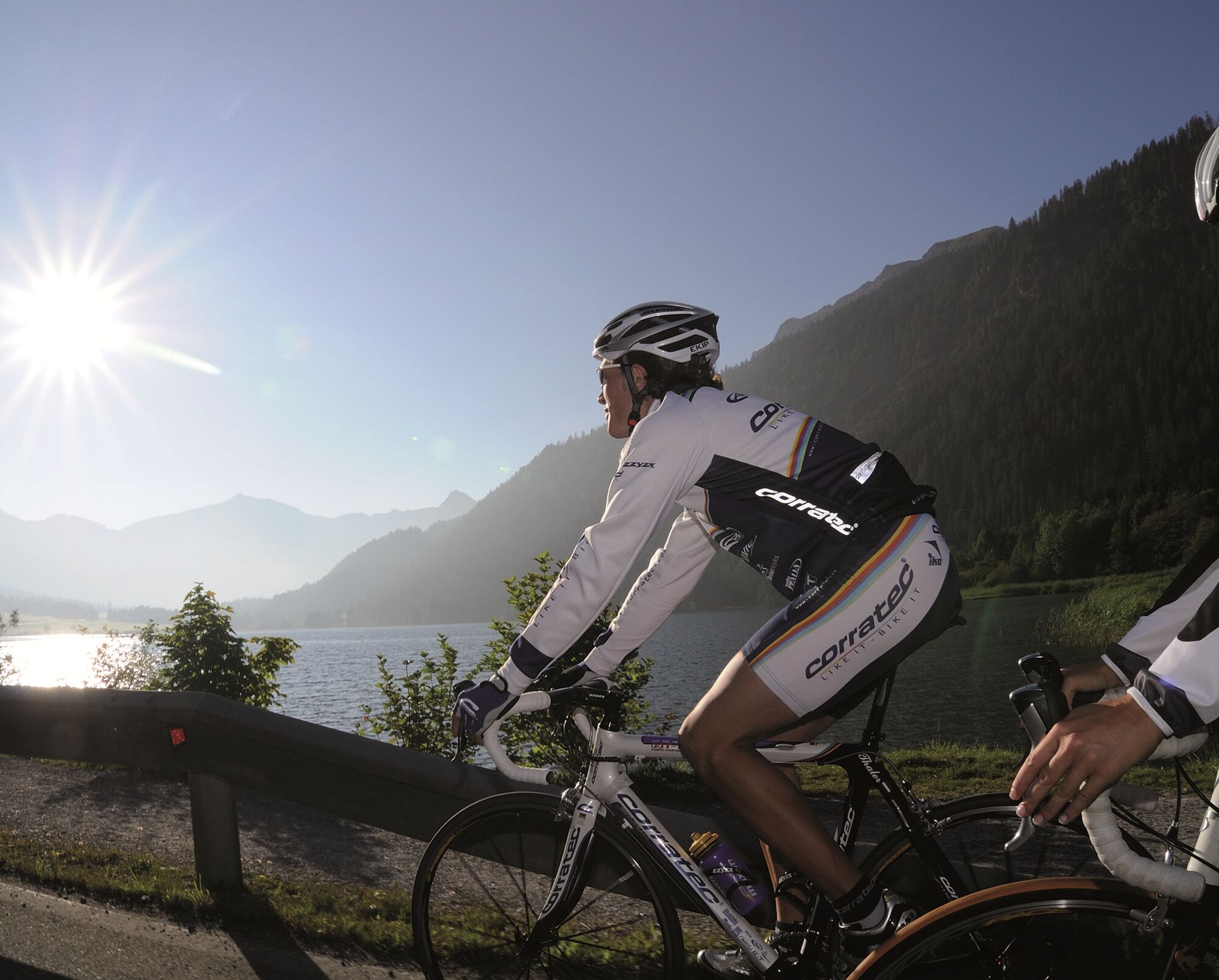
The Tannheimer Tal has been known among cyclists for a long time, as in 2001 the peloton of the Austrian Cycling Tour passed through the valley. In 2005, the cycling pros of the Bayern Tour were rewarded...
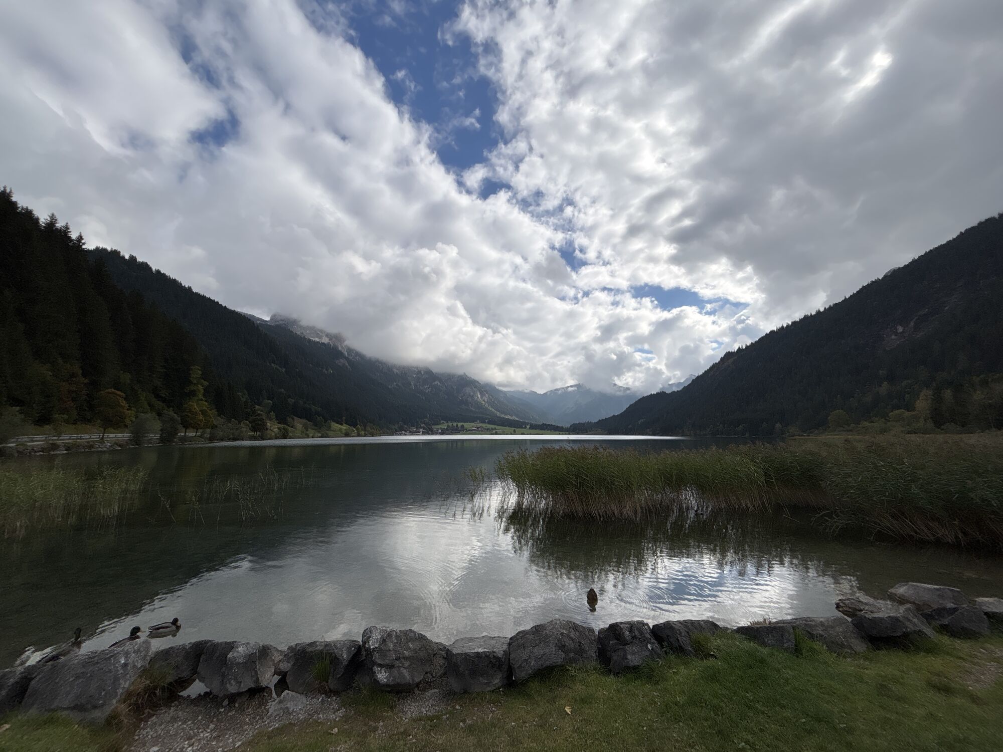
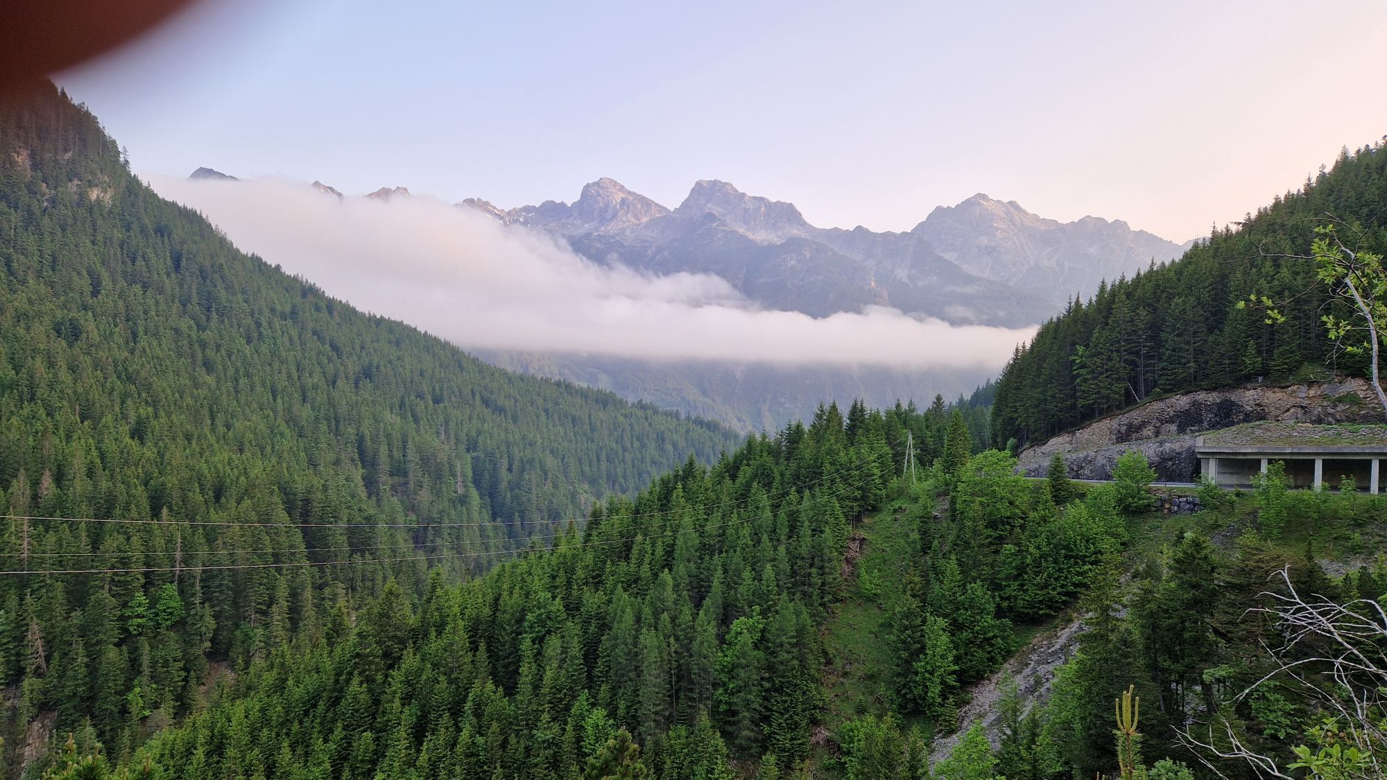
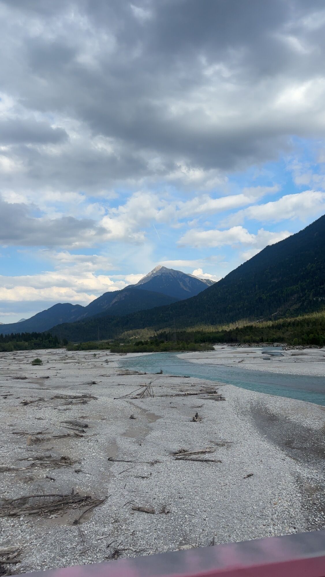
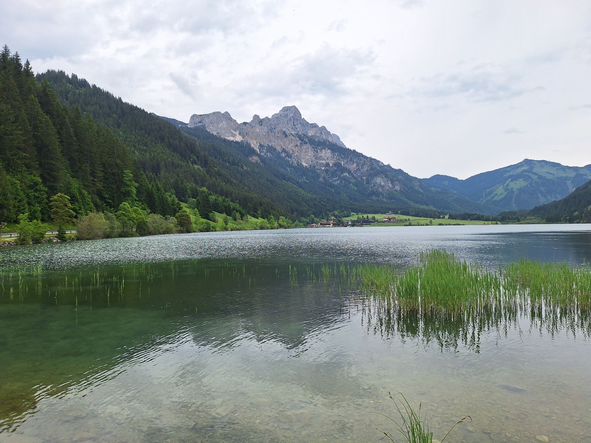
The Tannheimer Tal has been known among cyclists for a long time, as in 2001 the peloton of the Austrian Cycling Tour passed through the valley. In 2005, the cycling pros of the Bayern Tour were rewarded with the mountain classification Tannheimer Tal and the mountain classification Jungholz during the opening stage on Tyrolean soil. Even pros were struck by the scenic charms of the "probably most beautiful high valley in Europe." Lush green meadows, Lake Haldensee, and a beautiful mountain backdrop accompanied the pros on their racing kilometers. Thus, the Tannheimer Tal has also established itself as an ideal region for targeted training or extensive tours. "The Tannheimer Tal is an ideal starting point for long road bike routes to the surrounding regions such as Lake Constance or the Arlberg," says Michael Keller, managing director of the Tannheimer Tal Tourism Association and former mountain bike national coach of Austria. Cyclists find, besides the ideal starting point, a wide range of accommodations in the Tannheimer Tal. From 5-star hotels to private rooms, you can choose your accommodation. After a beautiful ride, relax your mind and recharge your strength. - The Tannheimer Tal


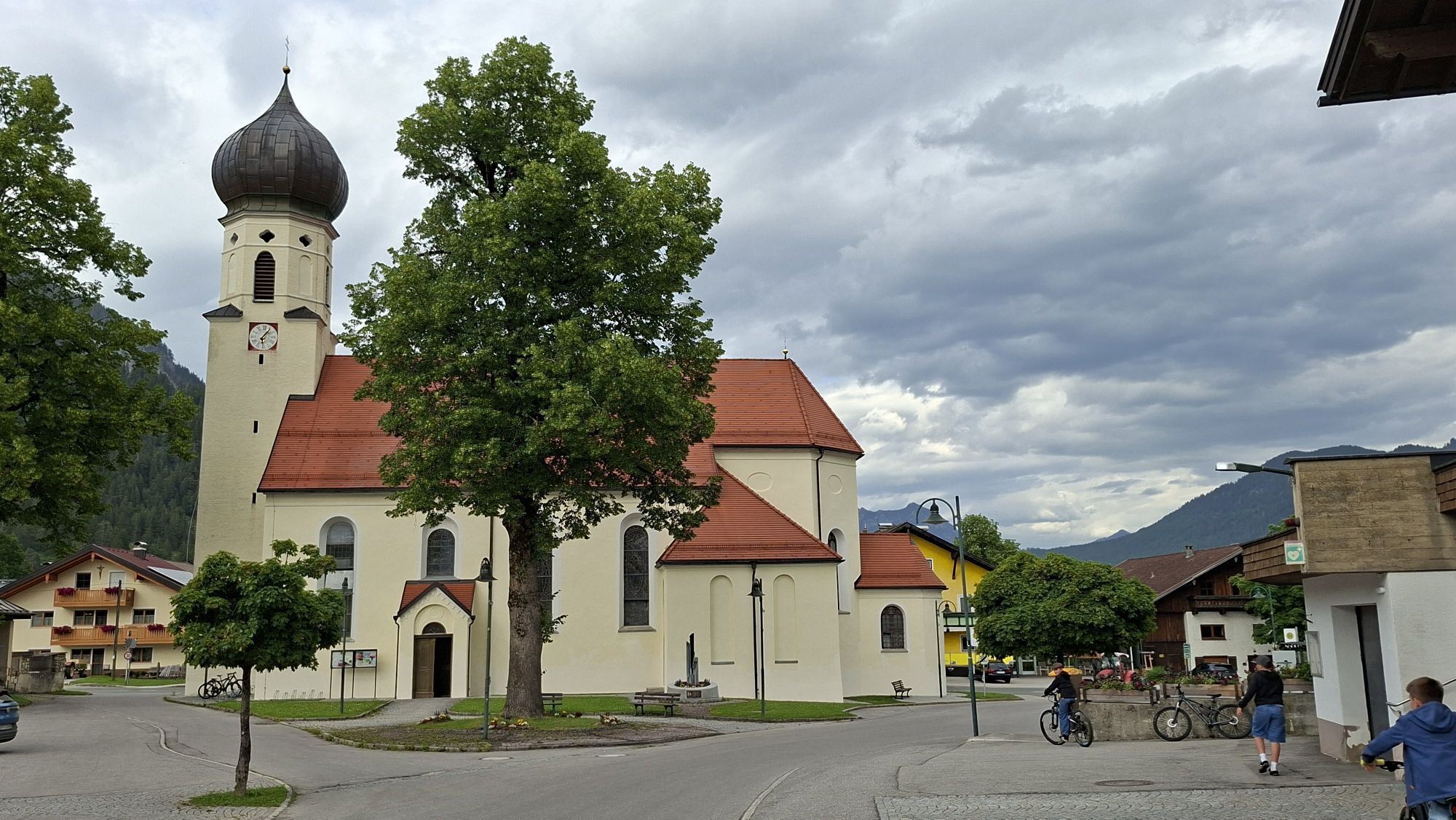
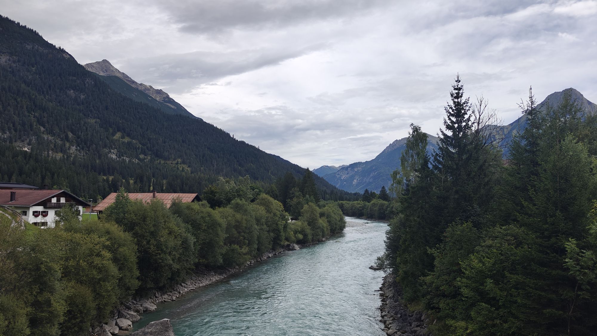
Start at the tourist information in Tannheim heading east, past Nesselwängle over the Gaicht Pass to Weißenbach. At the roundabout, turn right into the Lech Valley, past Forchach and continue on the gently ascending B 198 to Häselgehr. In Häselgehr, turn left, followed by an 8-kilometer climb with 300 meters elevation gain to Gramais. After arriving in Gramais, return the same way to Weißenbach and at the roundabout, turn right into the Tannheimer Tal and back to the starting point.
Tak
Complete road bike equipment is absolutely recommended even for experienced cyclists!
It should be noted that road cycling can involve an increased risk of accidents and injuries. Despite careful tour planning, a basic risk always remains. Tour preparation through endurance sports, proper training and education, as well as personal caution reduce the risk of accidents and hazards.
On the A7 motorway at the "Oy-Mittelberg" exit, take the B310 towards Wertach and onwards to Oberjoch. Follow the signs "Tannheimer Tal" B199, exit Tannheim. From the Tyrol side via Reutte on the B198 towards the Lech Valley to Weißenbach, over the Gaicht Pass along the B199 until the Tannheim exit.
By train to Sonthofen, Pfronten/Ried or Reutte, then by bus to Tannheim.
Parking at the Neunerköpfle gondola in Tannheim – fee required.
4
A stop at a restaurant in the Lech Valley is highly recommended, try the Lechtal specialties.
Kamery internetowe z trasy
-
Tannheim
-
Höfen Flugplatz
-
Höfen Flugplatz
-
Neunerköpfle Mittelstation
-
Haldensee - Neunerköpfle
-
Wängle - Panoramahotel Talhof
-
Gramais Ort / Gasthof Scheidle
-
Weißenbach - Hotel Florence
-
Grän - Almdorf Tirol
-
Gramais Ort
-
Gramais - Sonnenhof
-
Panoramarestaurant Hahnenkamm
-
Grän - Hotel Bergblick
-
Füssener Jöchle Bergstation
-
Obere Halde
-
Obere Halde
-
Tannheimertal
-
Haller
-
Gundhütte - Tannheimertal
-
Höfen Flugplatz
-
Höfen Flugplatz
-
Höfen Flugplatz
-
Höfen Flugplatz
-
Talstation Neunerköpfle - Tannheim
Popularne wycieczki w okolicy
-
4,8
Thaneller
średniWędrówka 4,90 km -
5,0
Gemeinde Grän, Tirol/Österreich Aggenstein Rundtour über Höhenweg
średniWędrówka 9,84 km -
4,8
Tannheim / Vilsalpsee / Landsberger Hütte
średniWędrówka 15,7 km -
4,3
Three-lake route (awarded the Tyrolean Hiking Trail Seal of Quality)
średniWędrówka 14,8 km -
4,7
Hönig over the Älplestal-valley
średniWędrówka 11,6 km -
4,6
3-Seen Rundtour Vilsalpsee / Schrecksee / Traualpsee
średniWędrówka 17,1 km -
4,4
Durchs Schneetal zum Hahnenkamm
średniWędrówka 14,1 km -
4,8
Bad Hindelang, Hinterstein, Deutschland
średniWędrówka 14,1 km -
4,4
Tannheim - Vilsalpsee
światłoWędrówka zimą 3,80 km -
4,7
Almkopf Rundweg
średniWędrówka 2,60 km
Wędrówki i tropienie


Nie przegap ofert i inspiracji na następne wakacje
Twój adres e-mail została dodana do listy mailingowej.