







E-bike tour from Haiming to the Haiminger Alm
Poziom trudności: 3

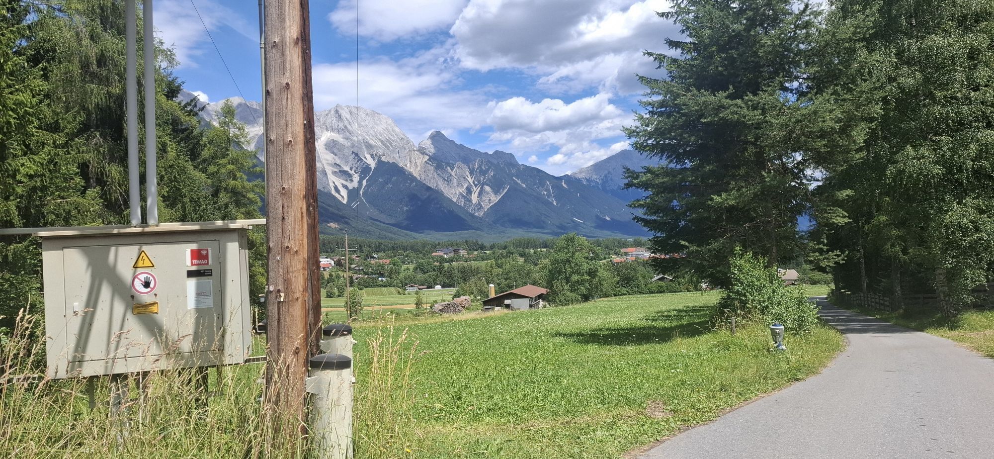
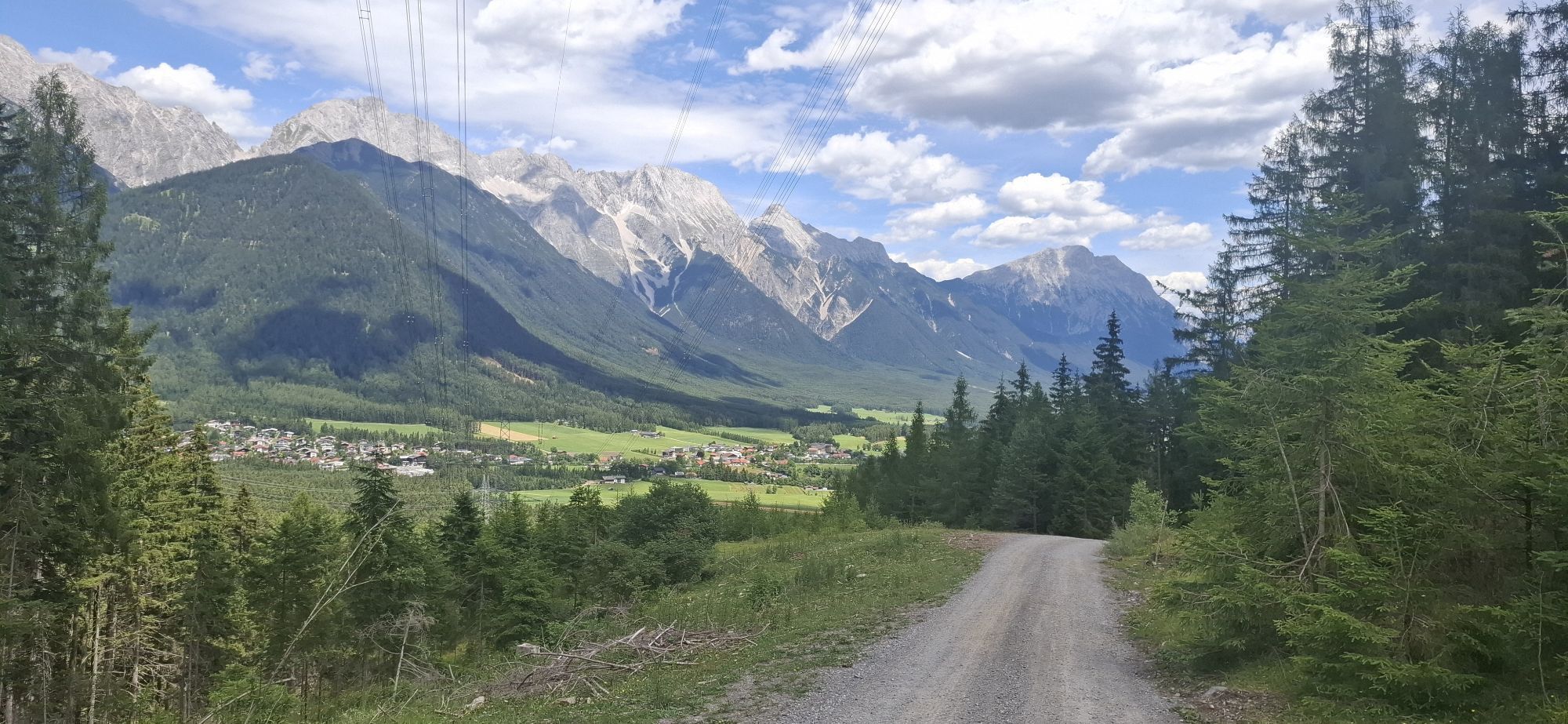
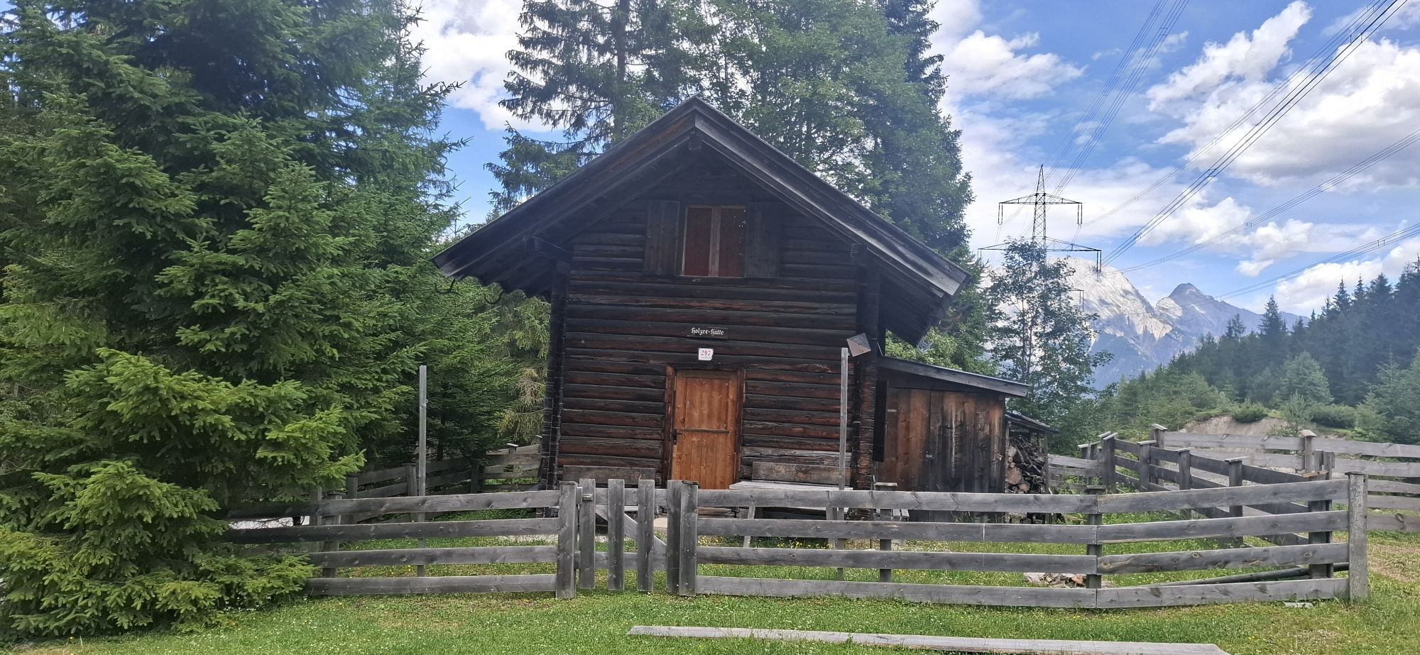
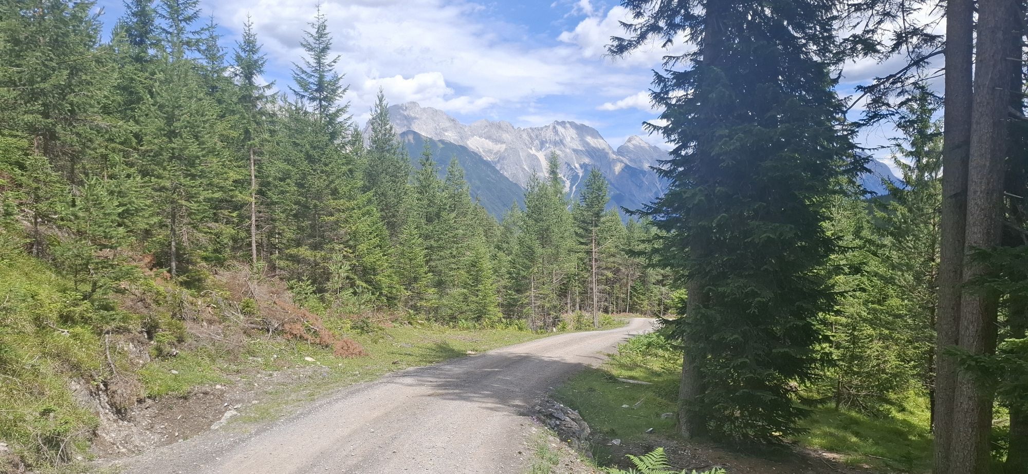
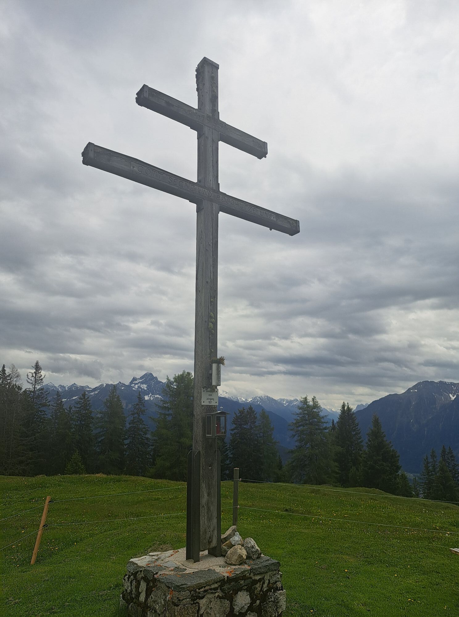
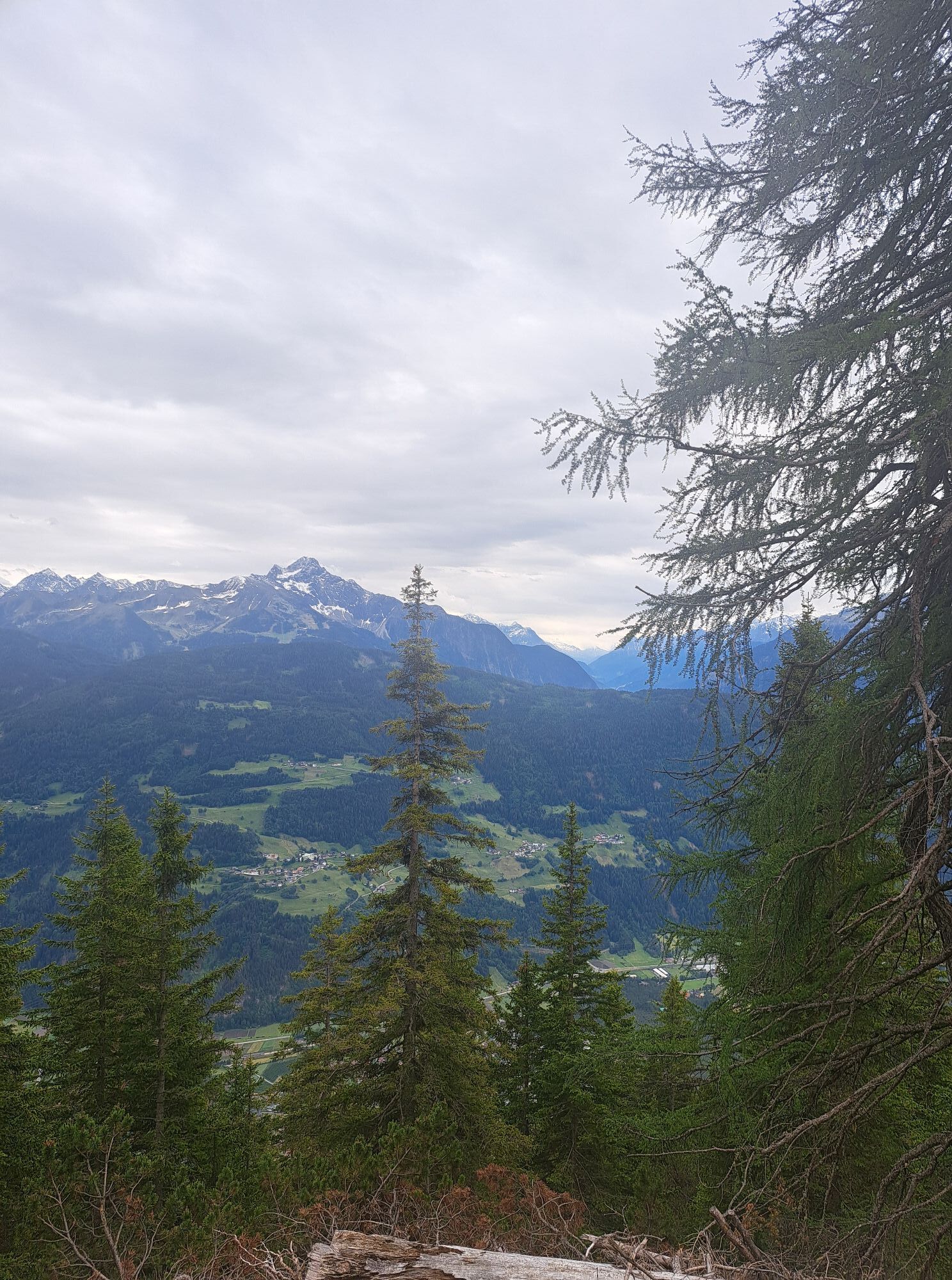
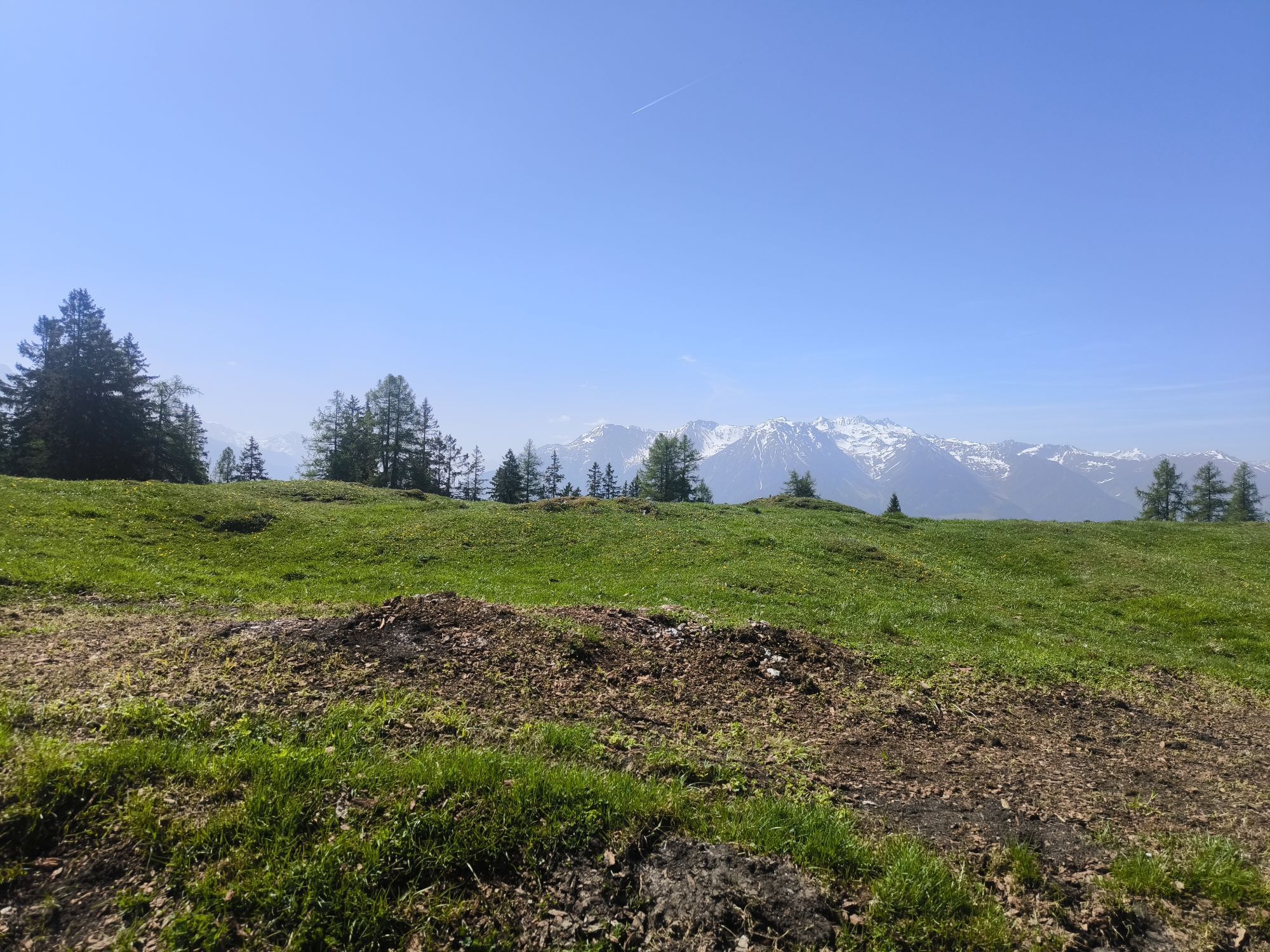
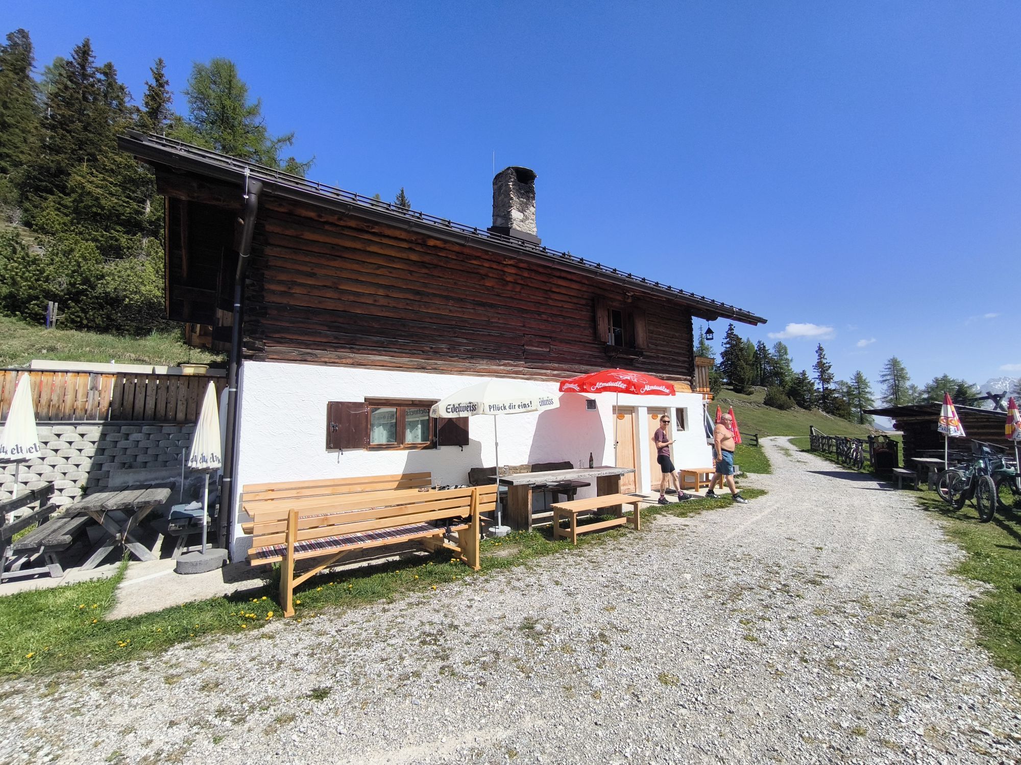
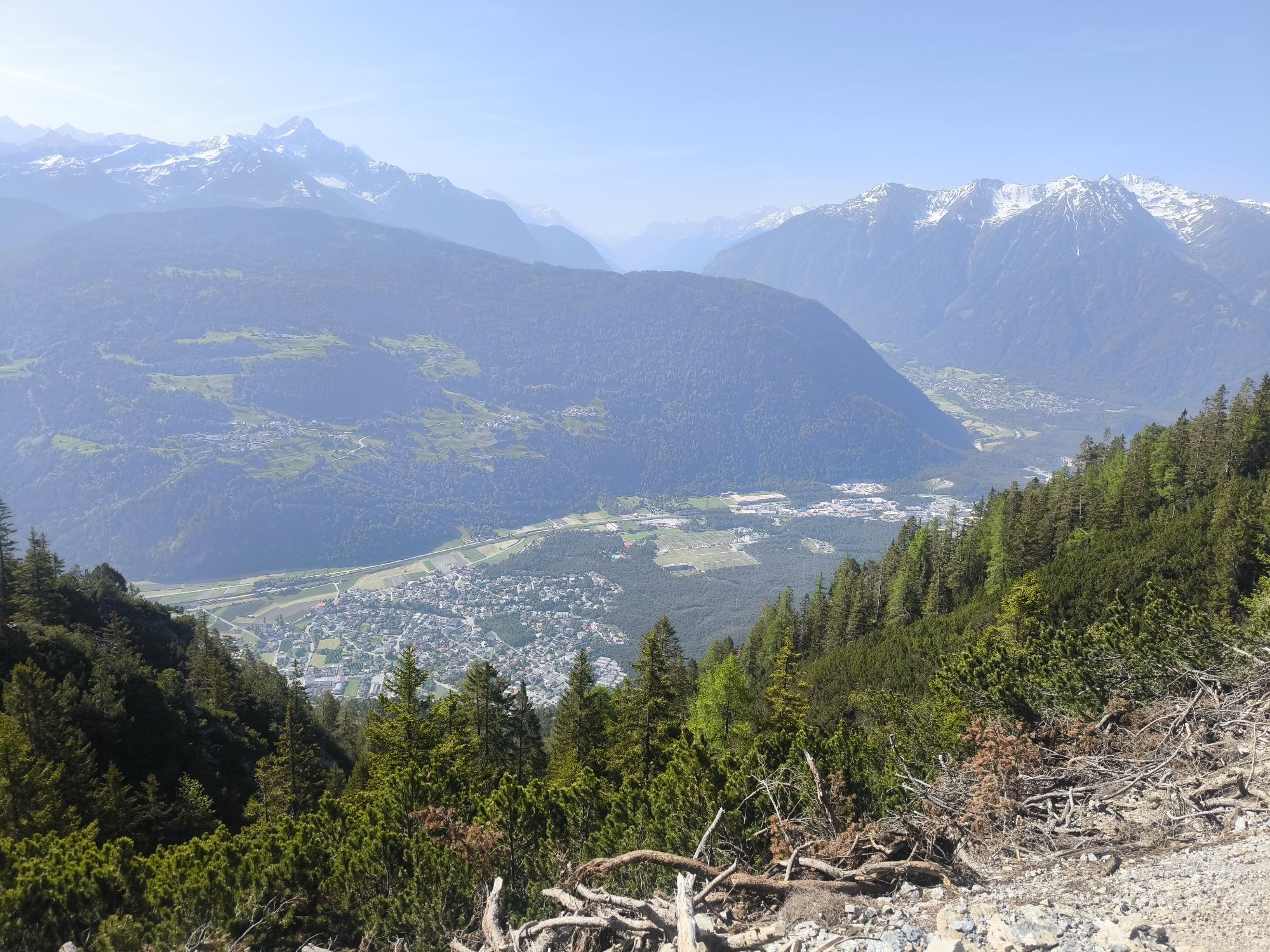
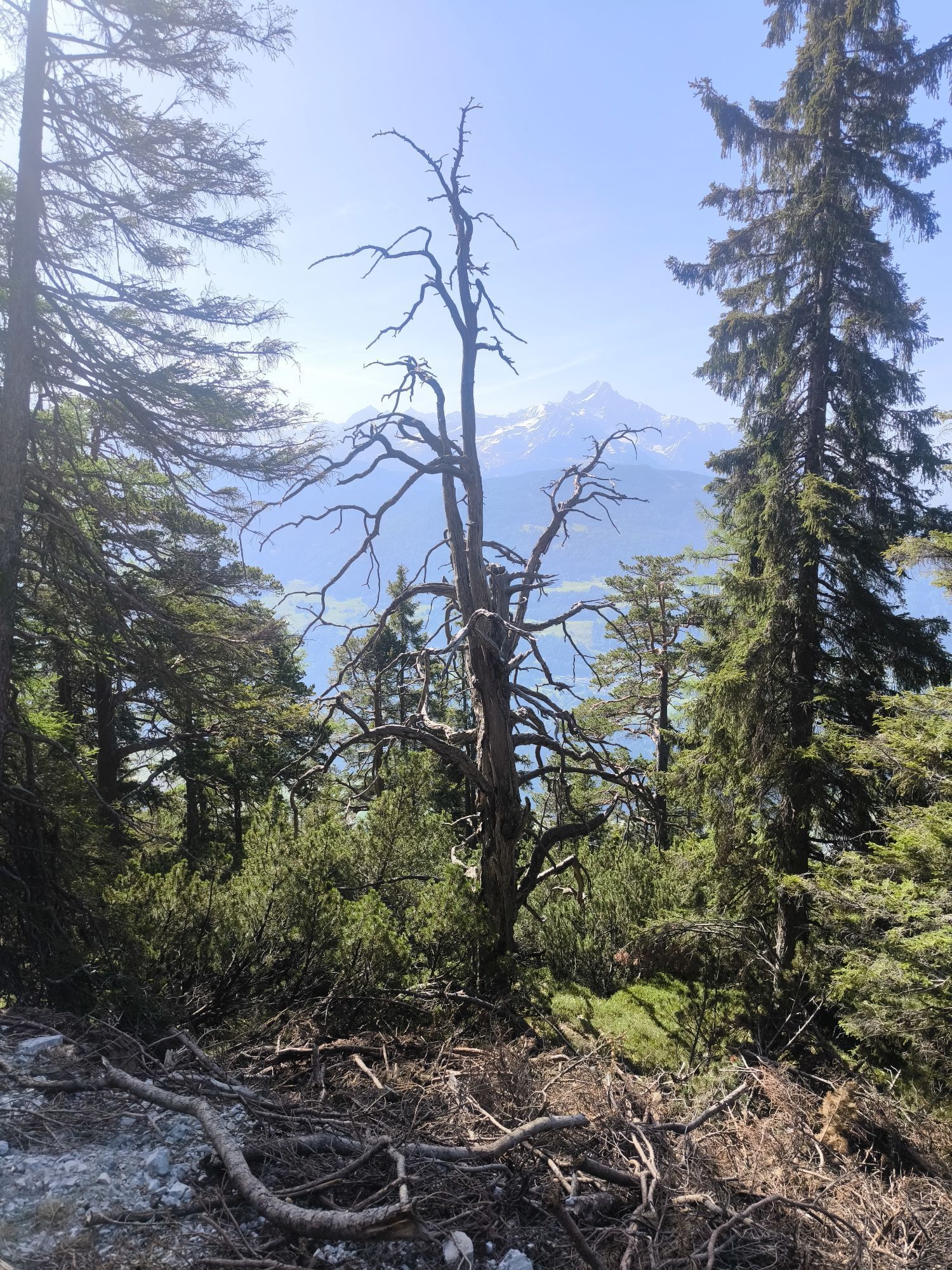
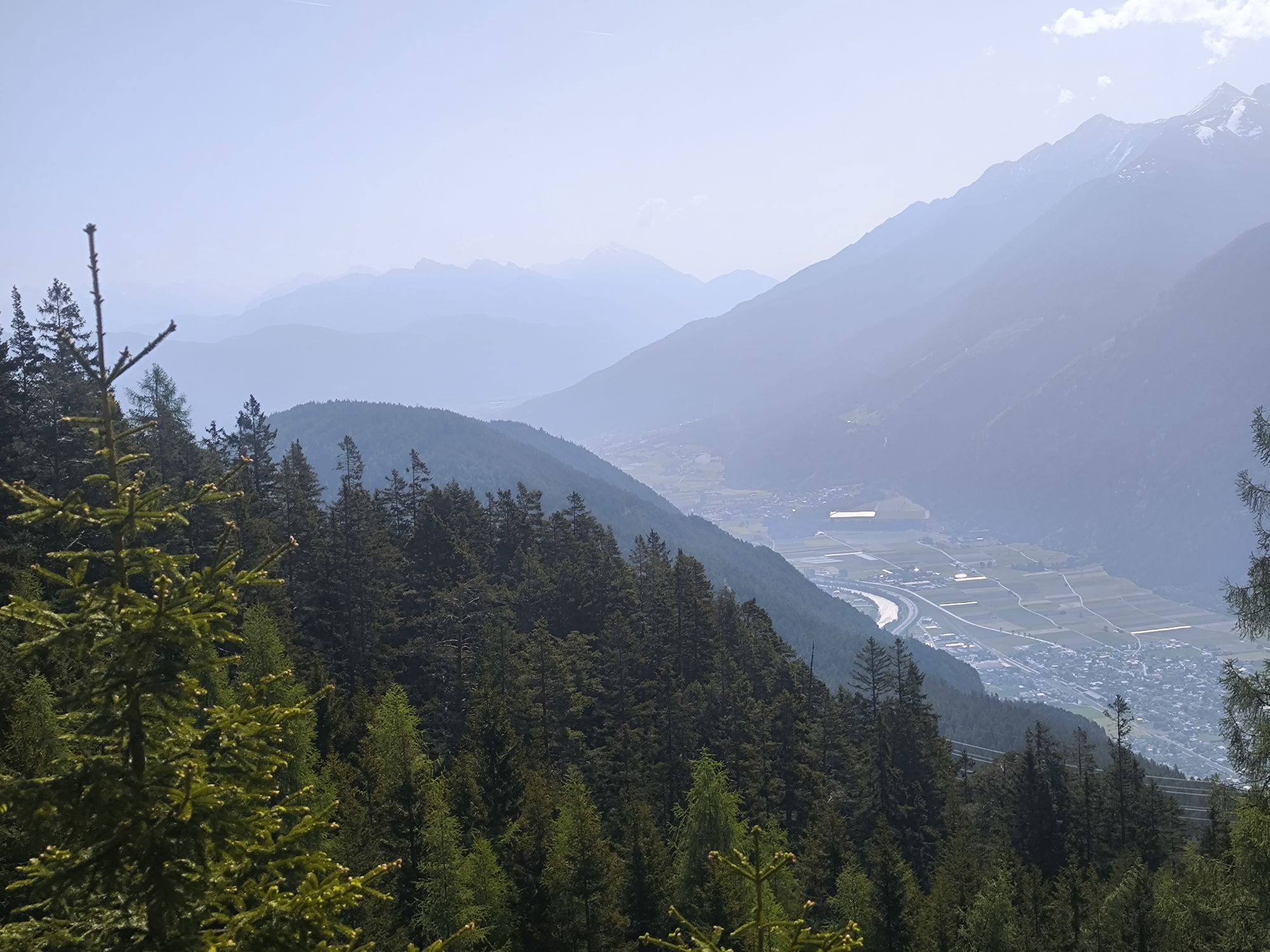
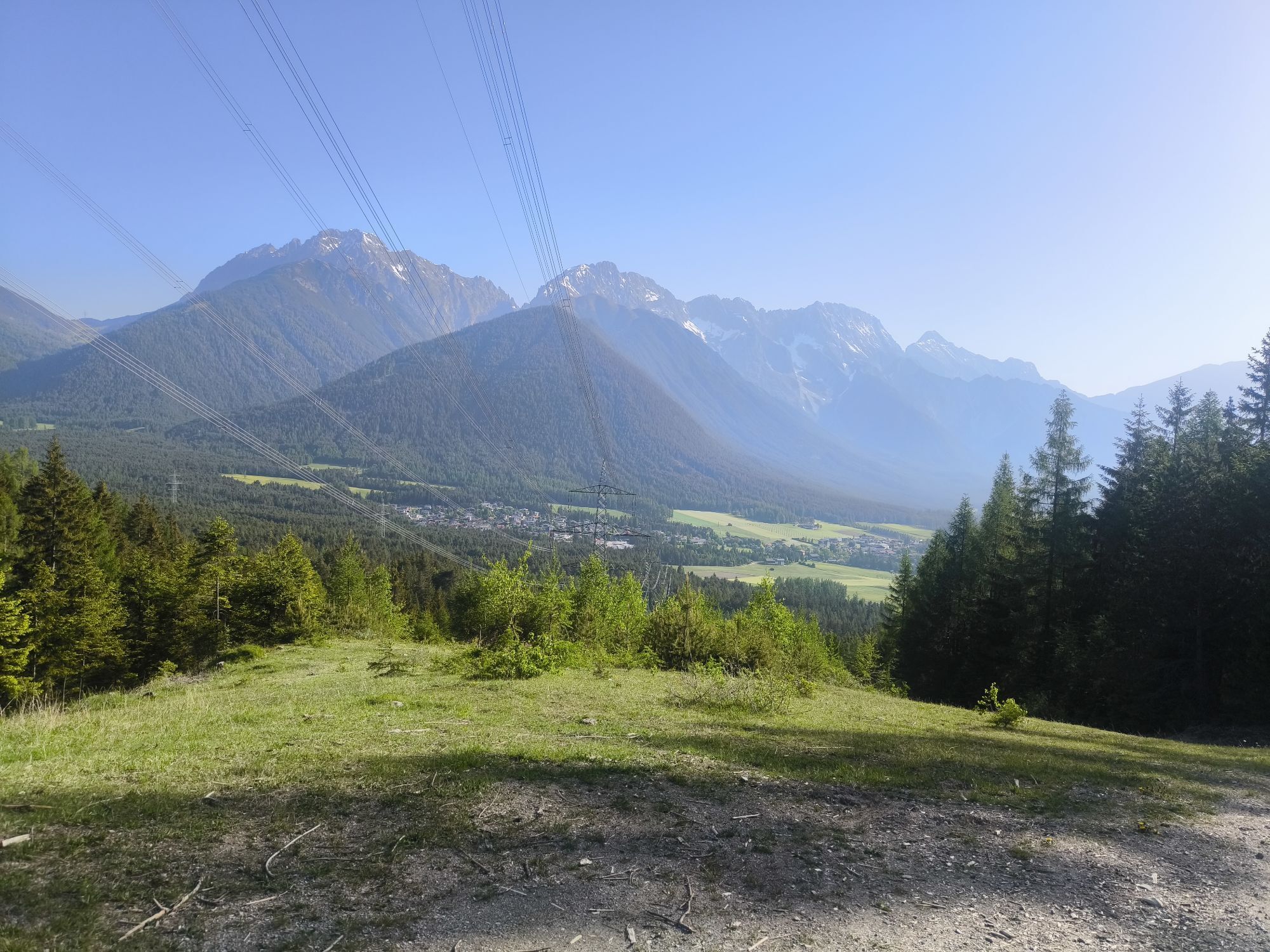
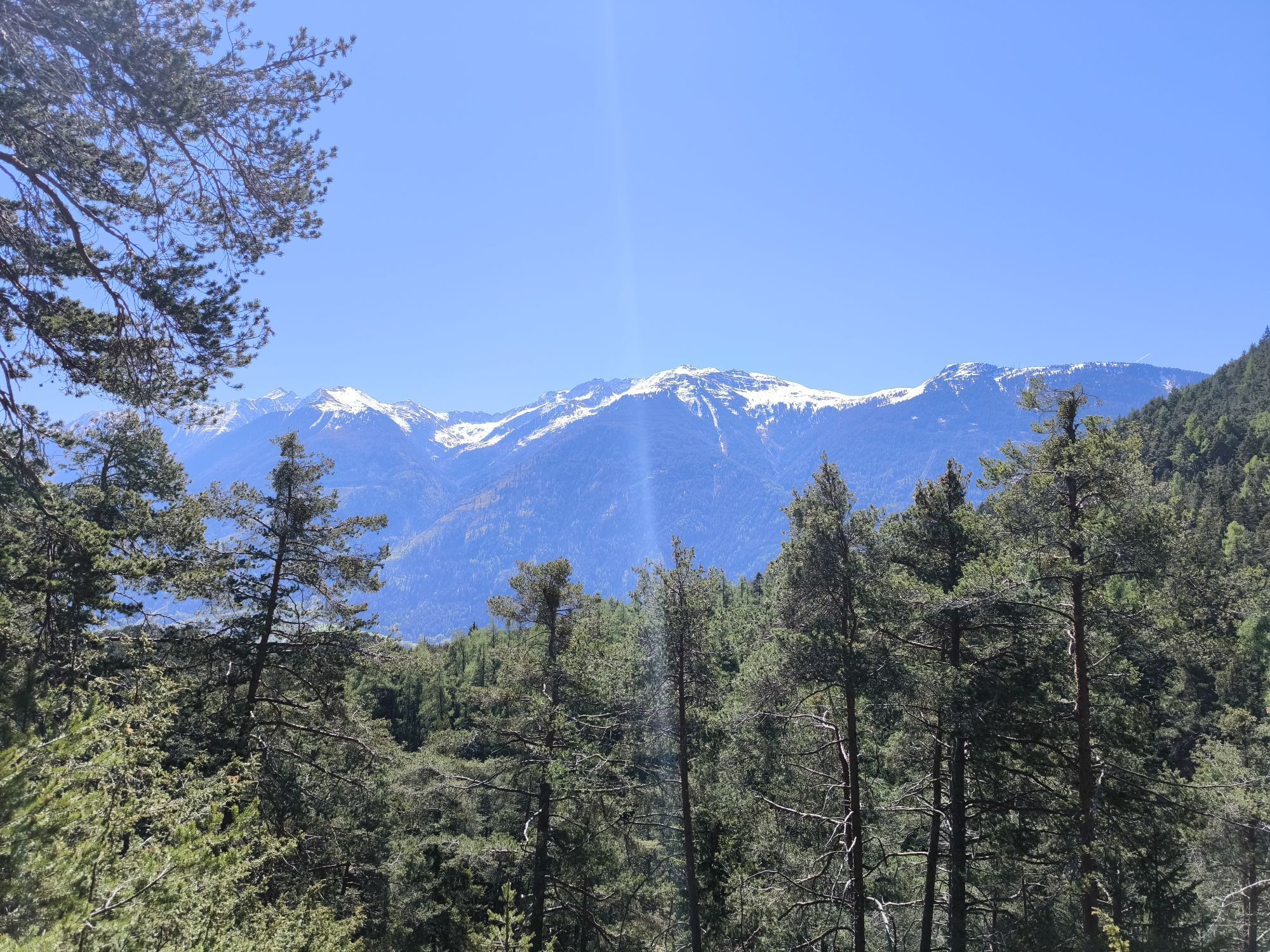
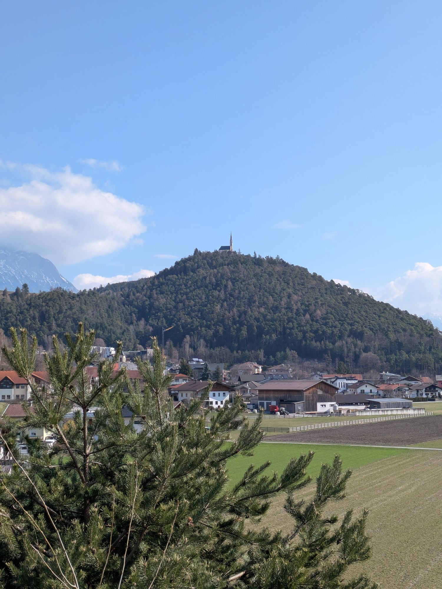
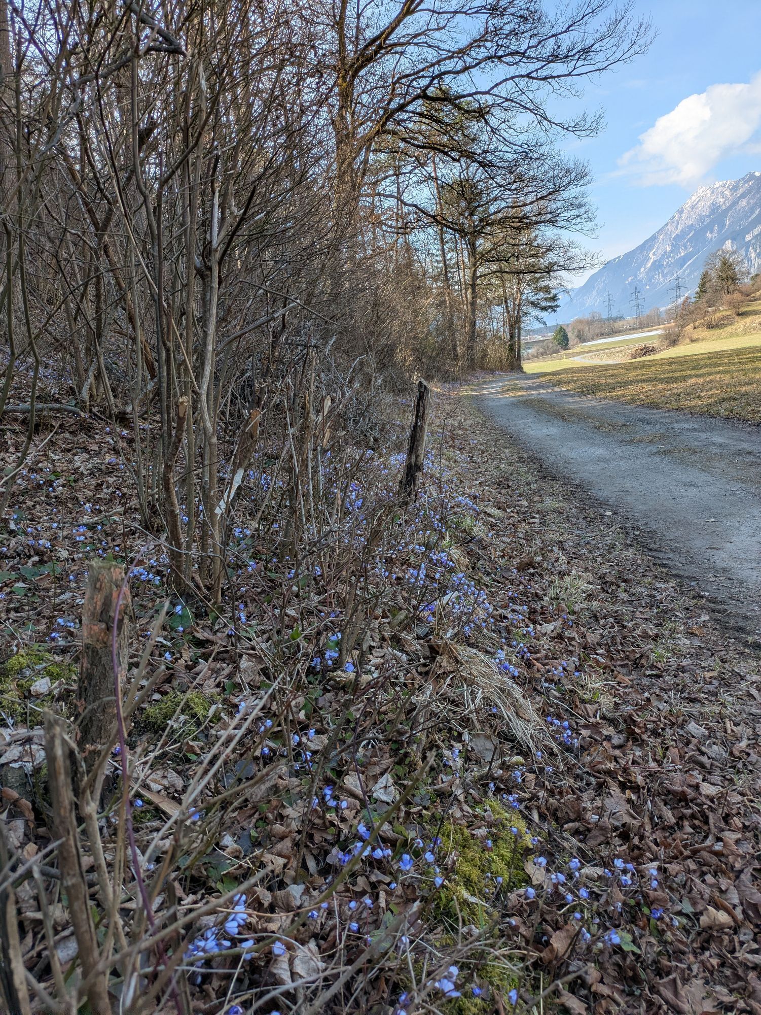
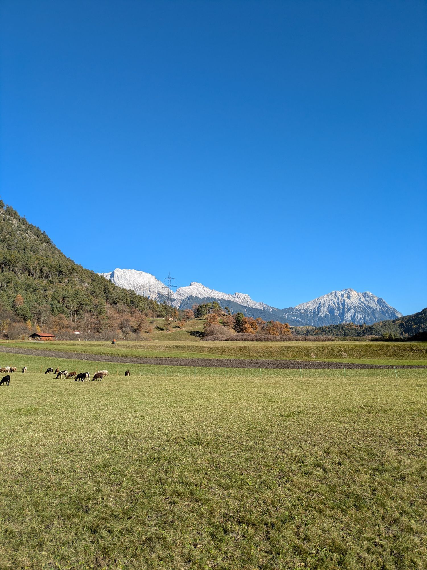
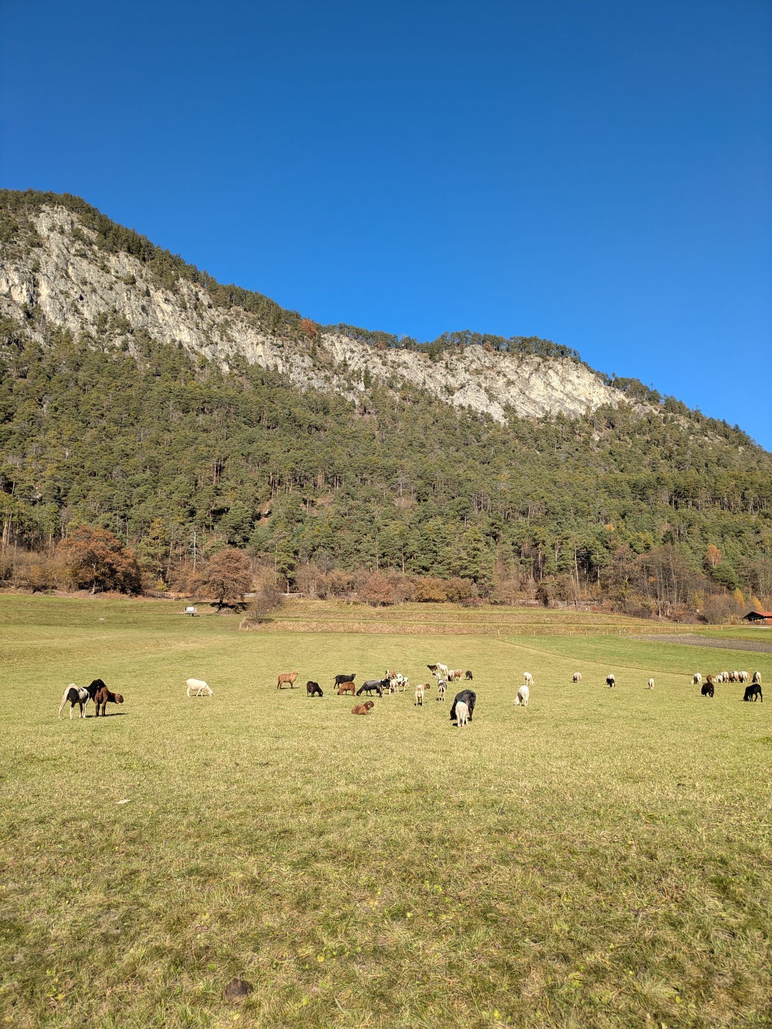
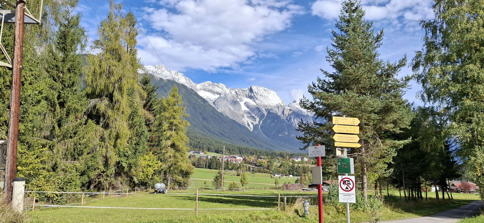
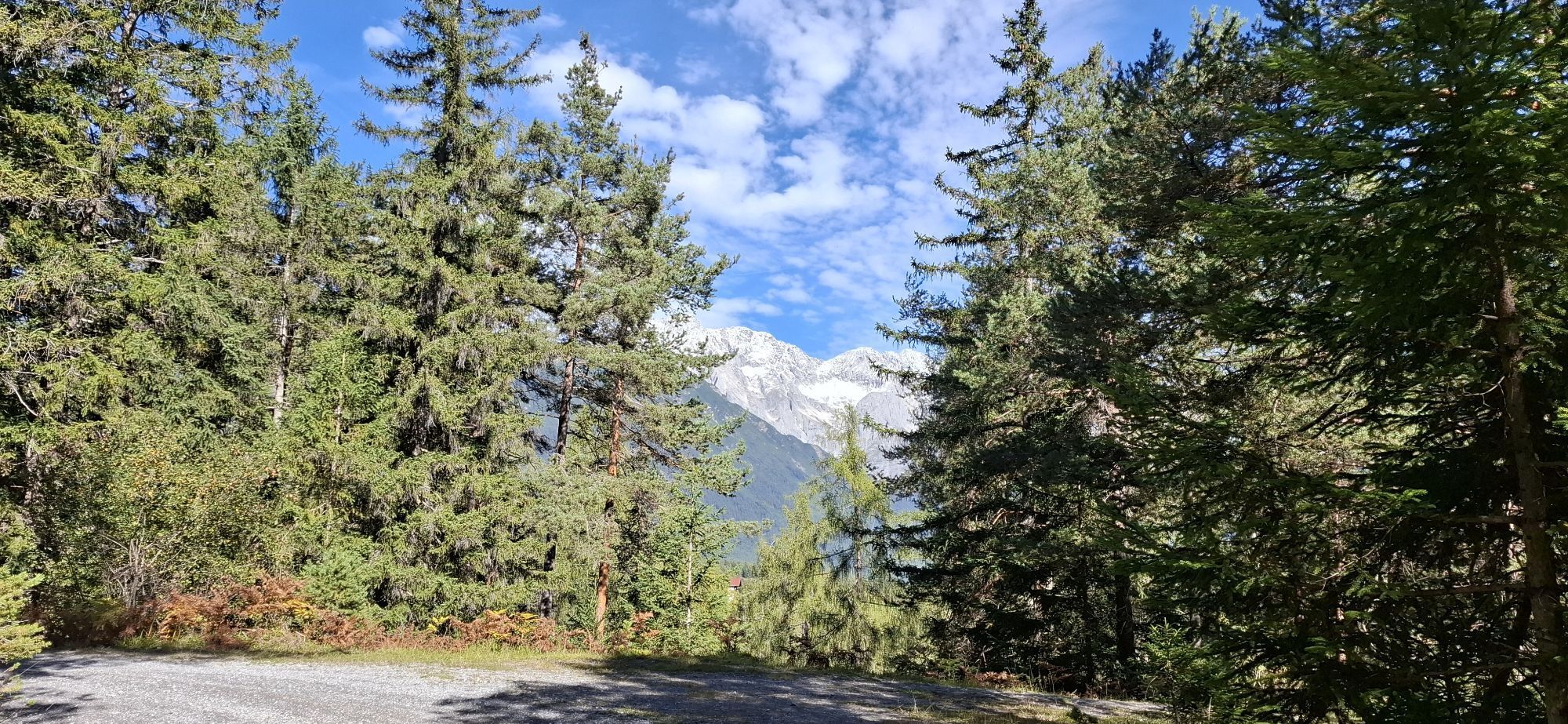
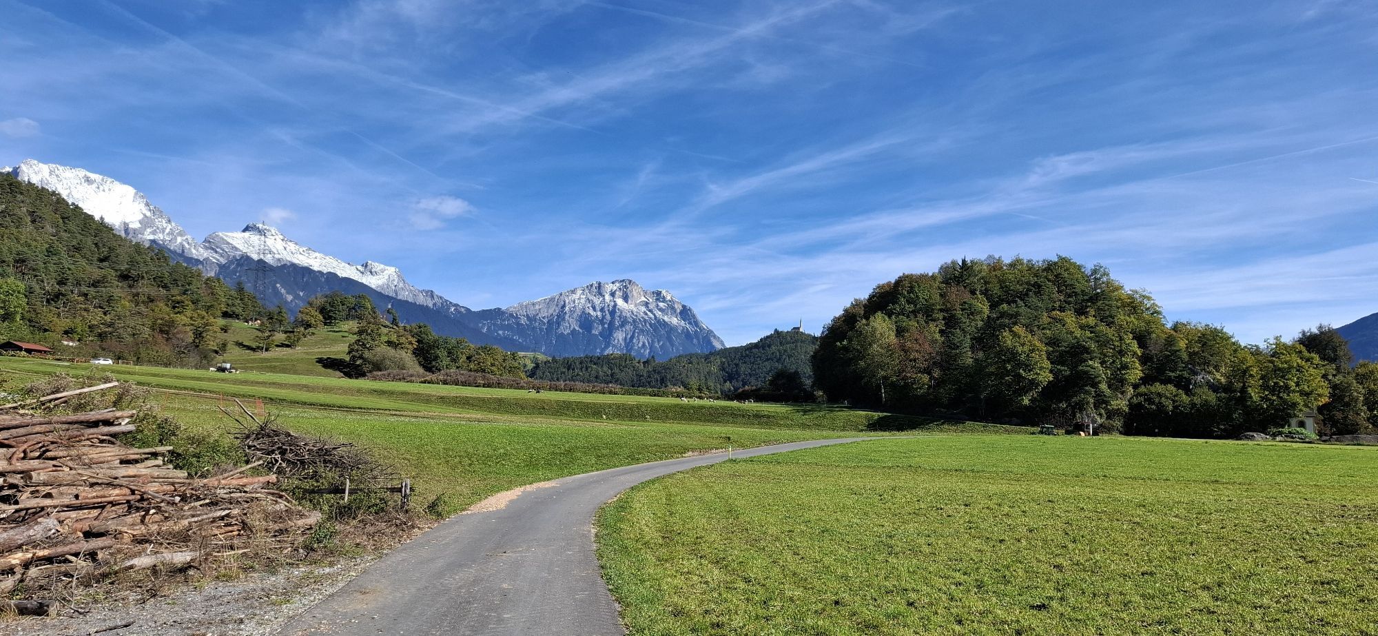
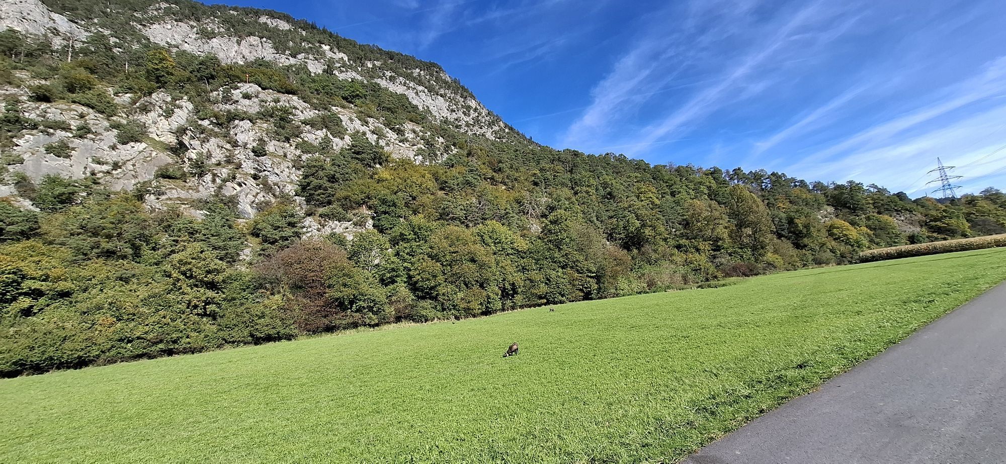
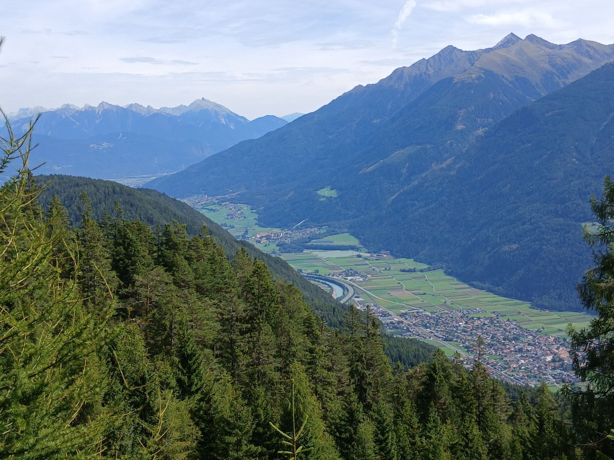
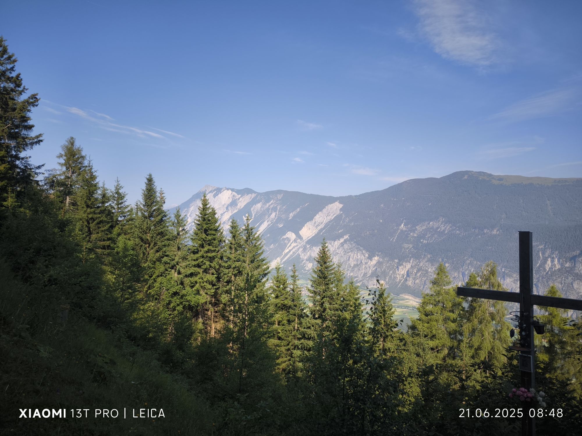
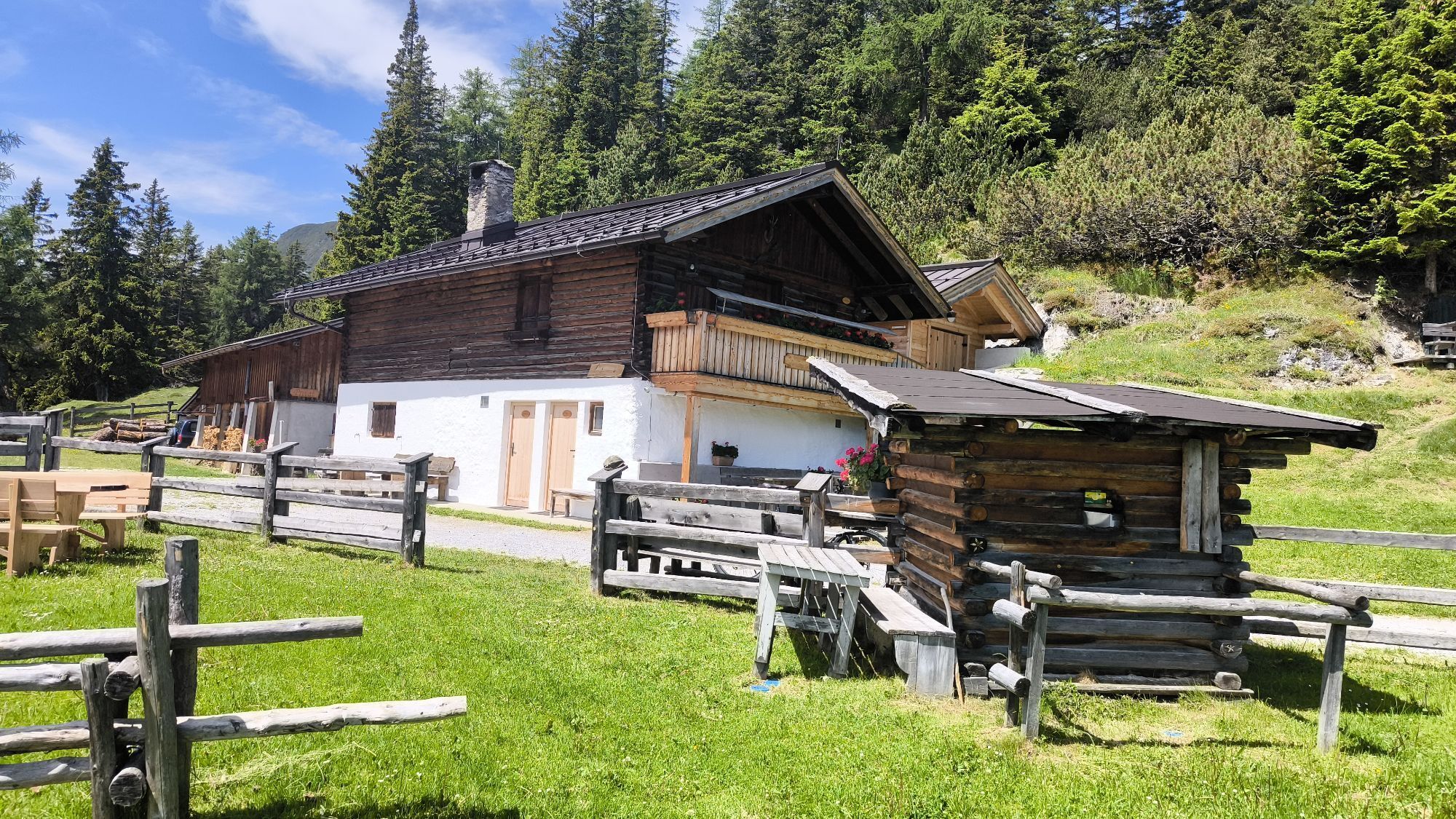
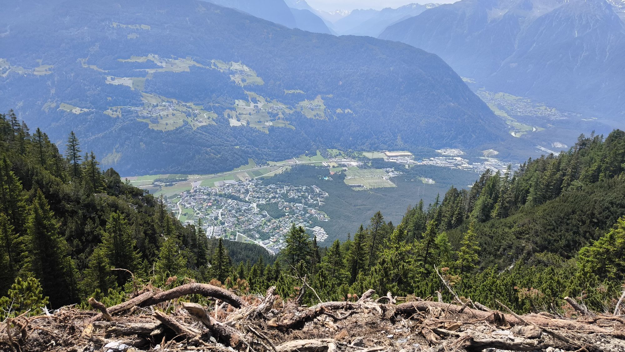
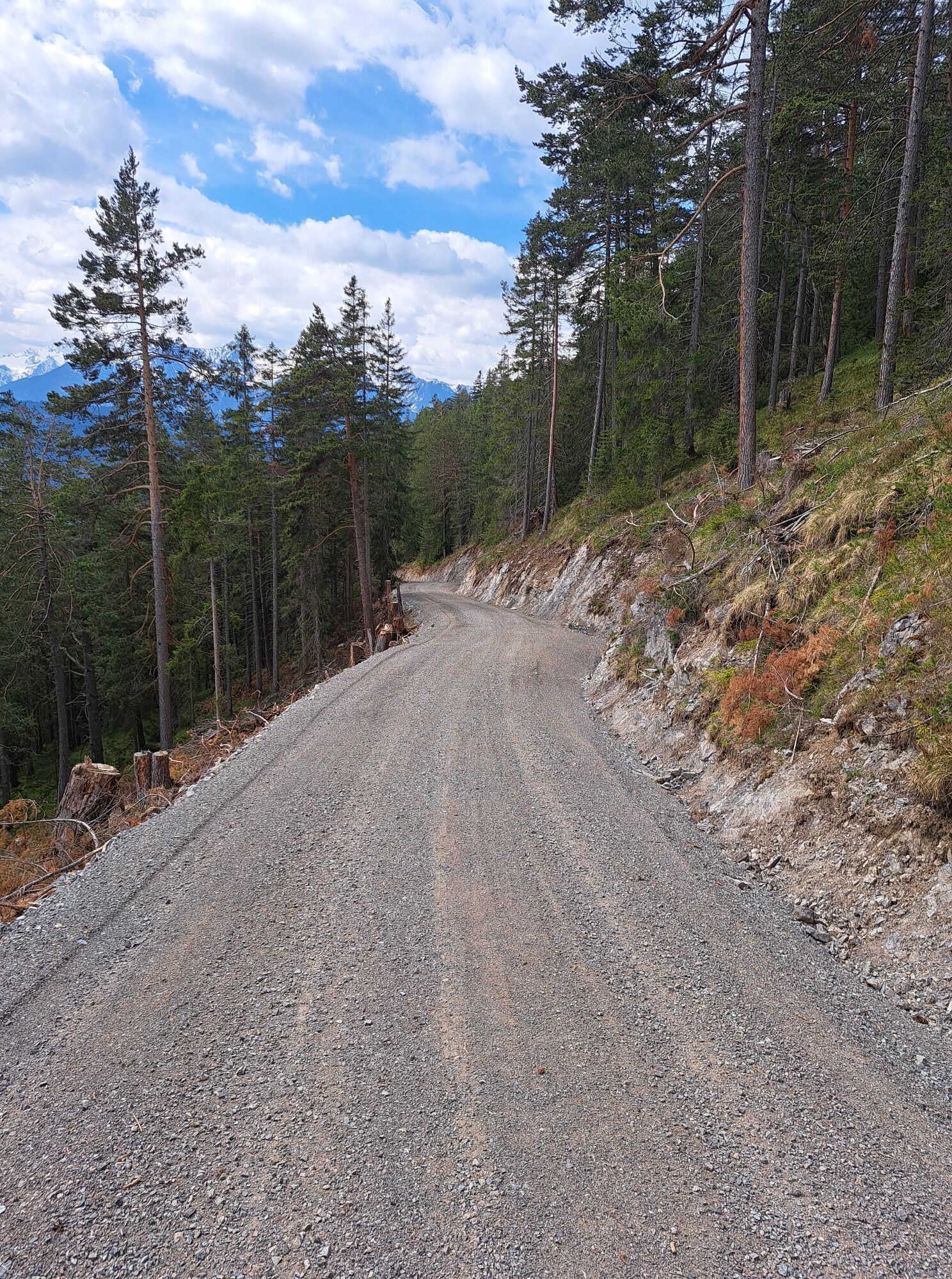
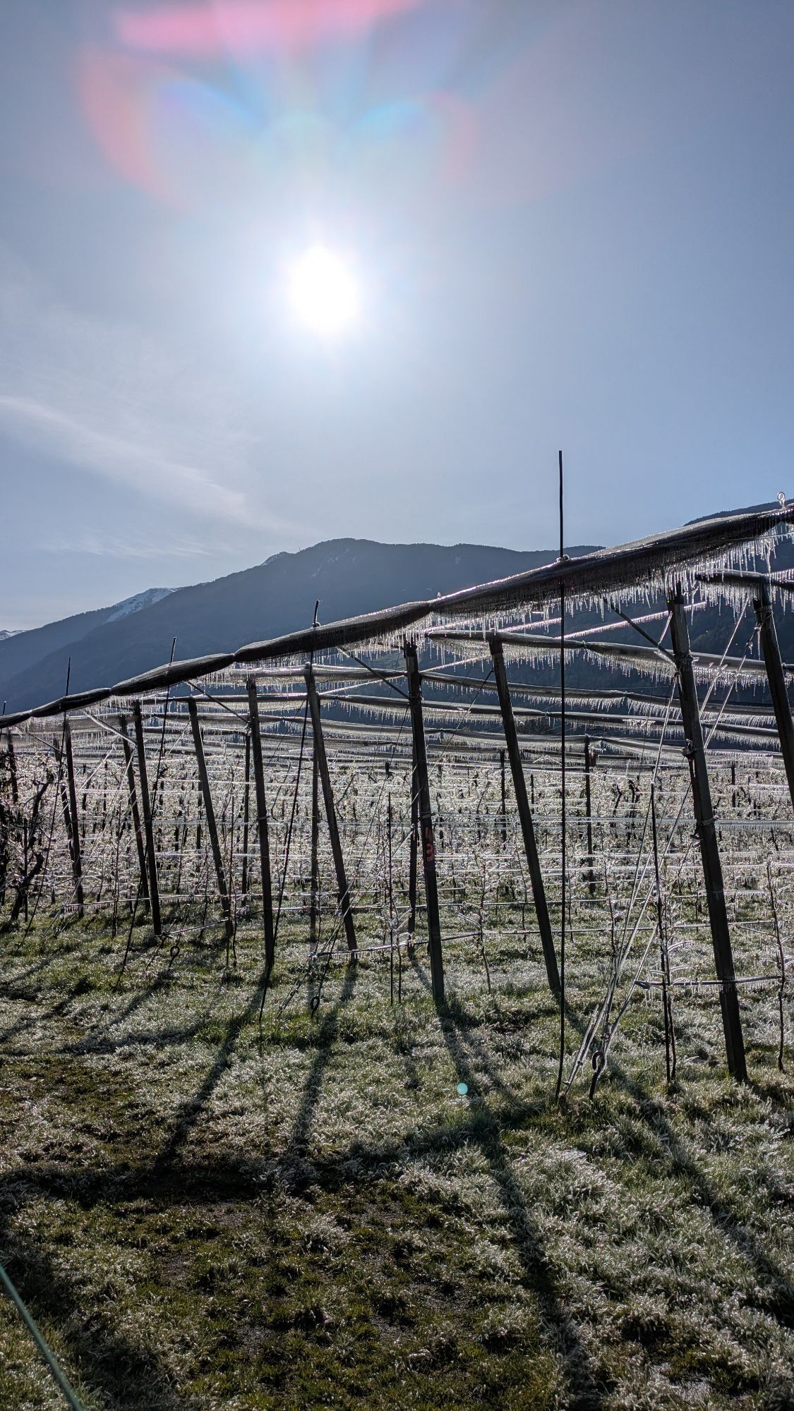
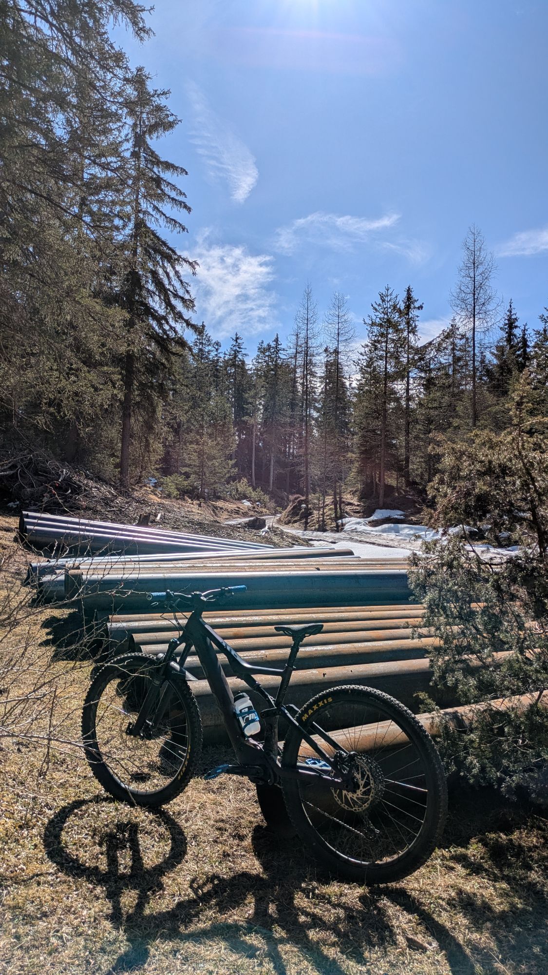

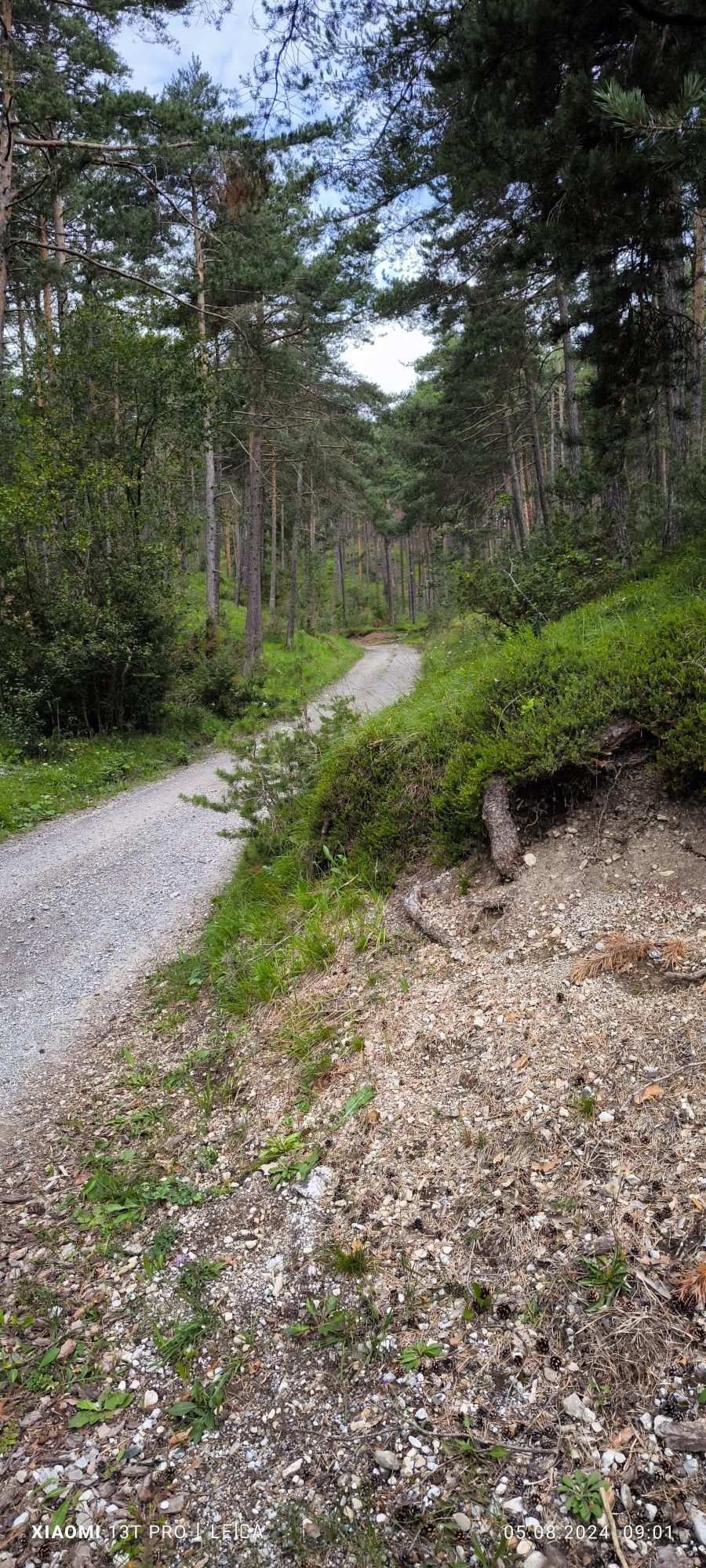
The starting point of this bike tour is the Magerbach car park in Haiming. To begin with, you roll along flat and relaxed on the Inn Cycle Path beside the river, past Silz and on to just before Mötz. Here...
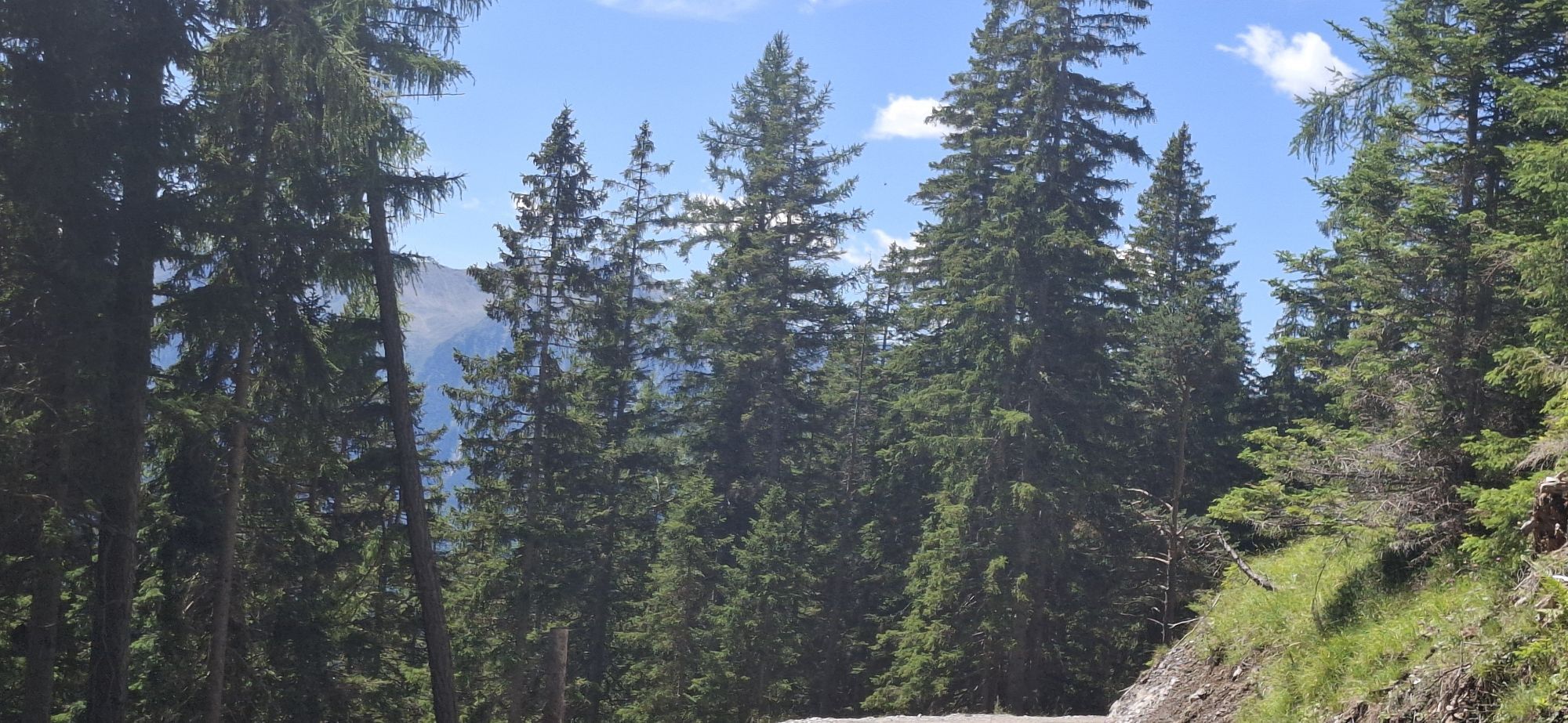
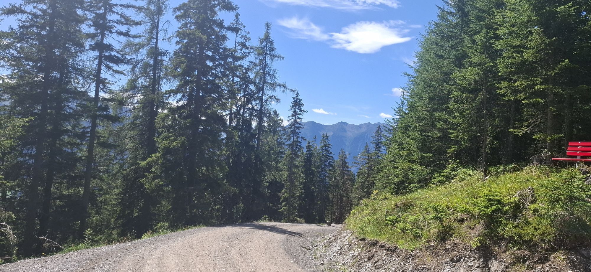
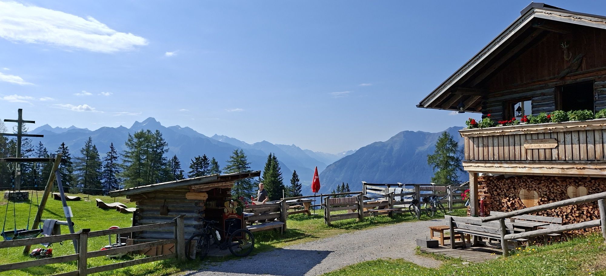
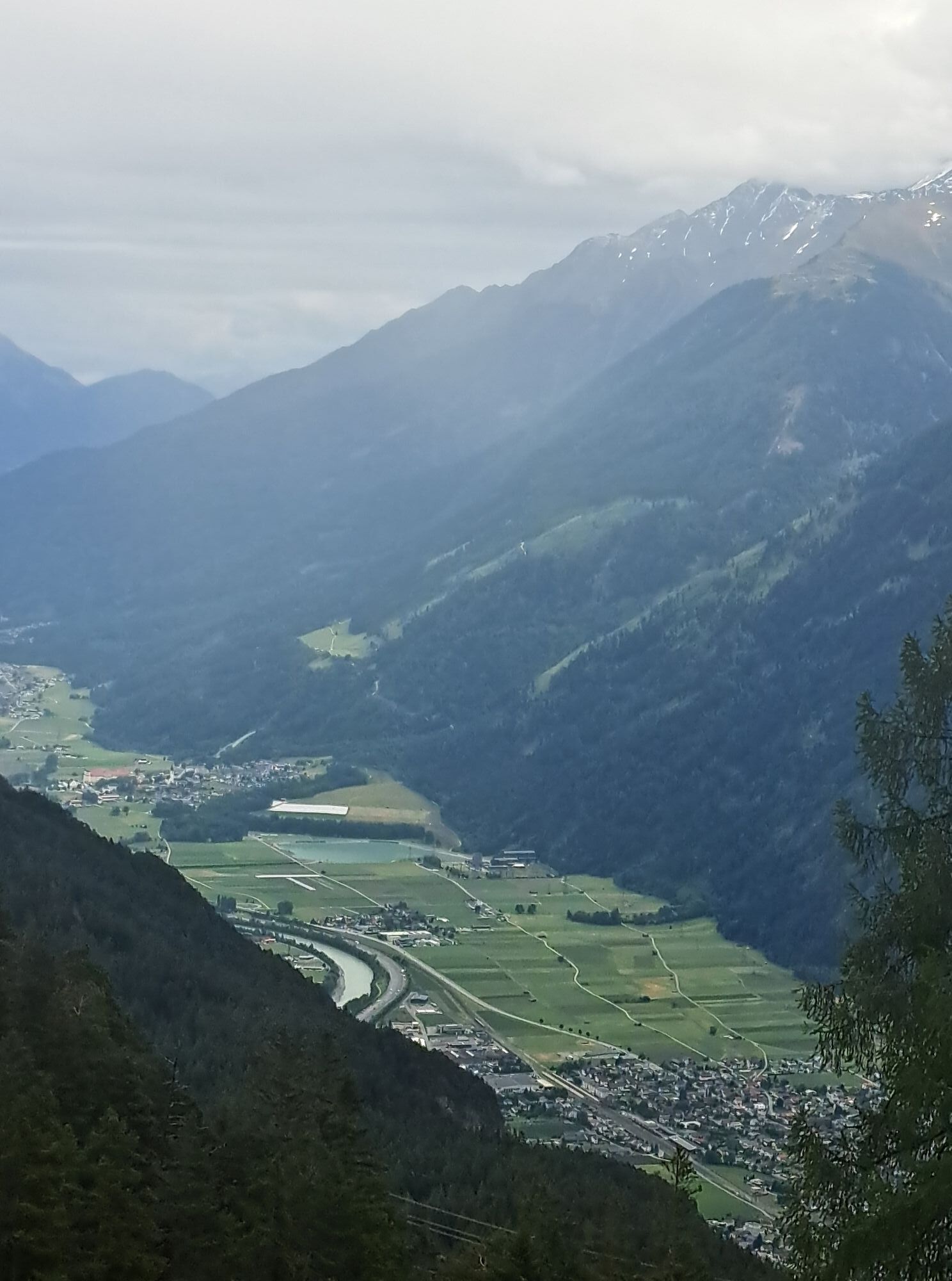
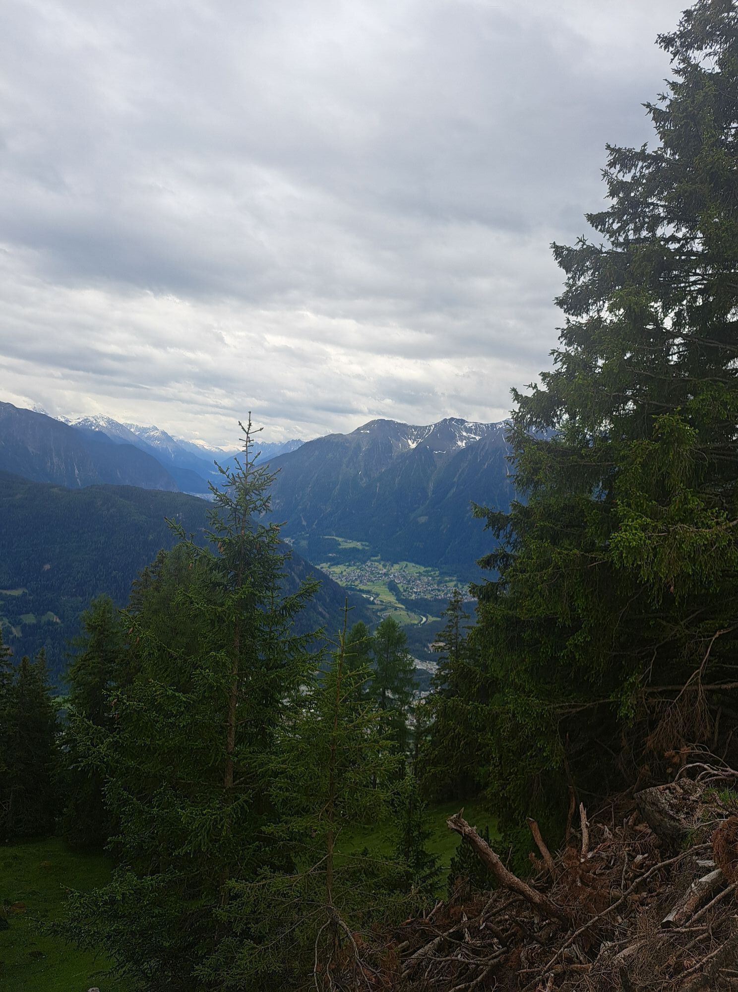
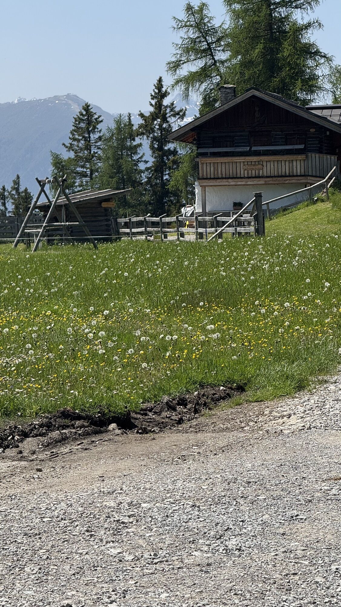
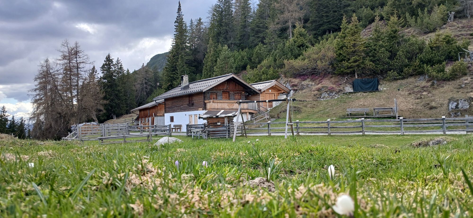
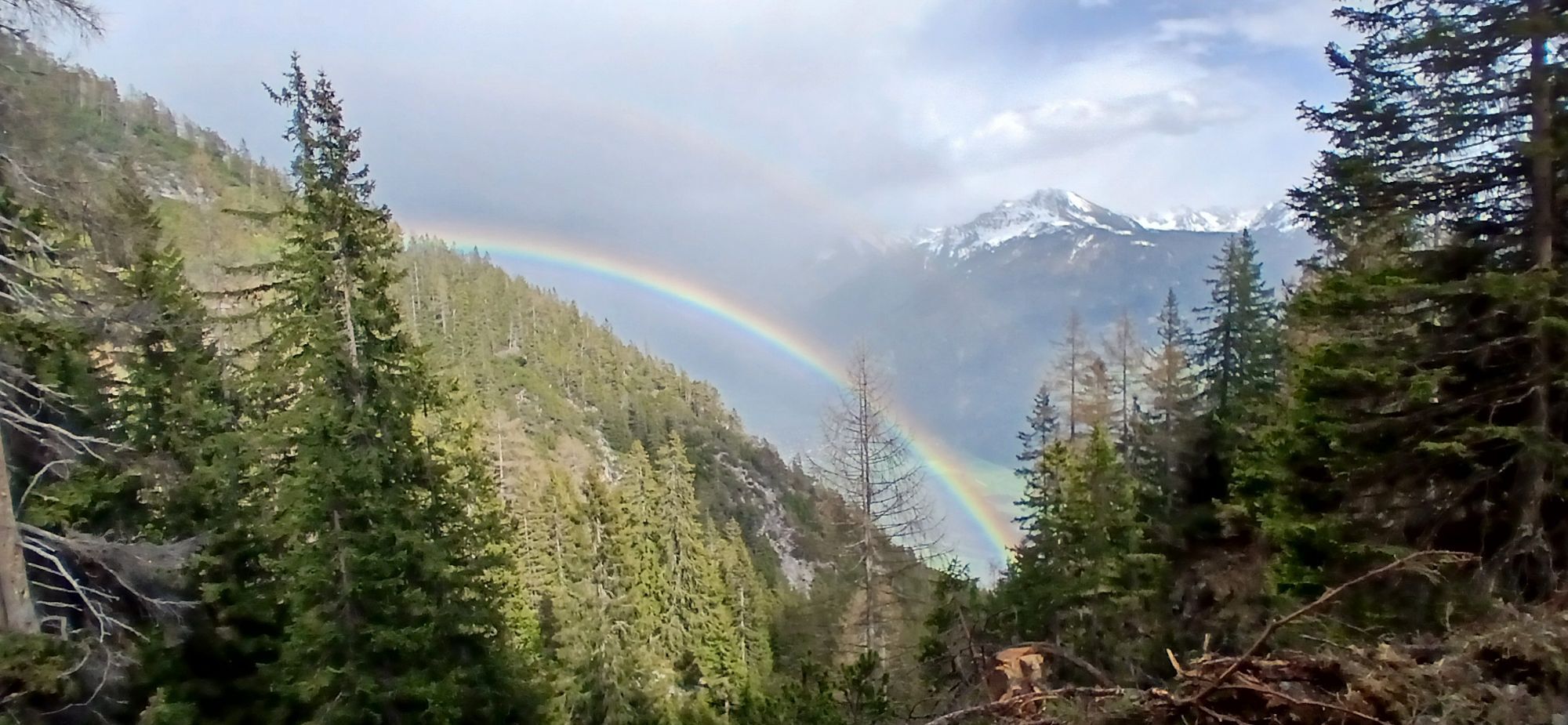
The destination is the Haiminger Alm (1,787 m), a quiet mountain hut with panoramic views that invites to take a long break. The panorama over the Inn Valley and the surrounding peaks makes up for every metre of ascent. The return follows the same route: back along the long high-level section, down towards Obsteig and through Mötz into the valley, where you finally roll along the flat beside the Inn back to the Magerbach car park. The long descent on a well-rideable surface is the enjoyable finale of the tour.

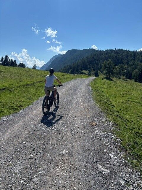
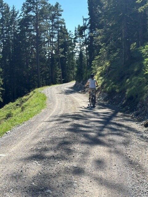
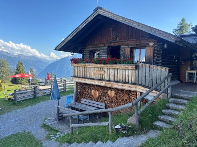
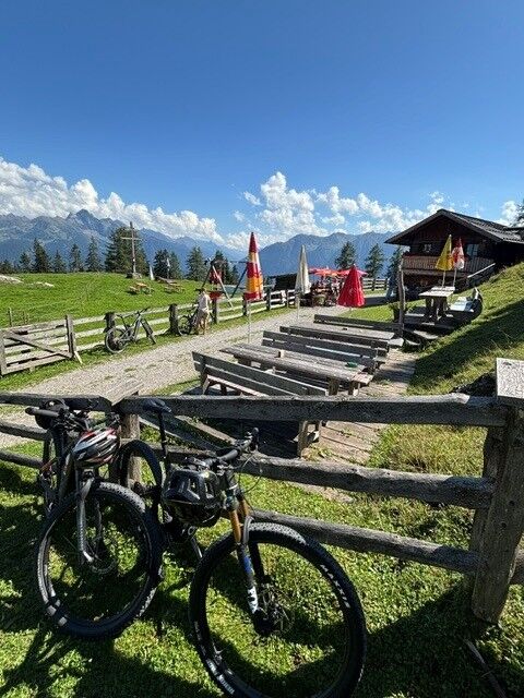
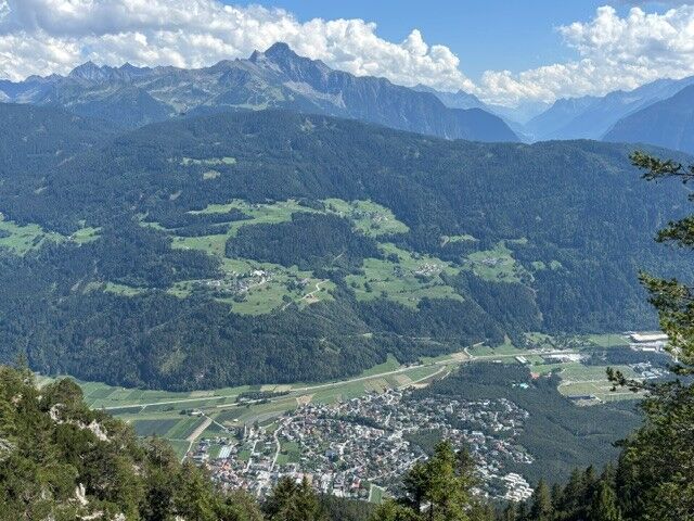
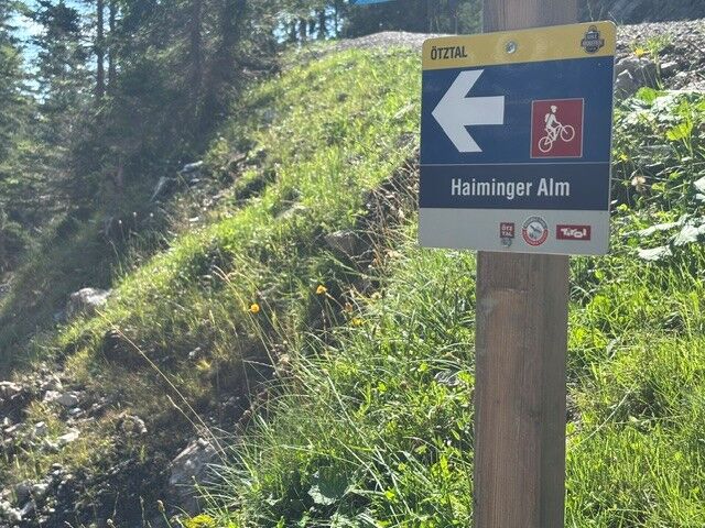

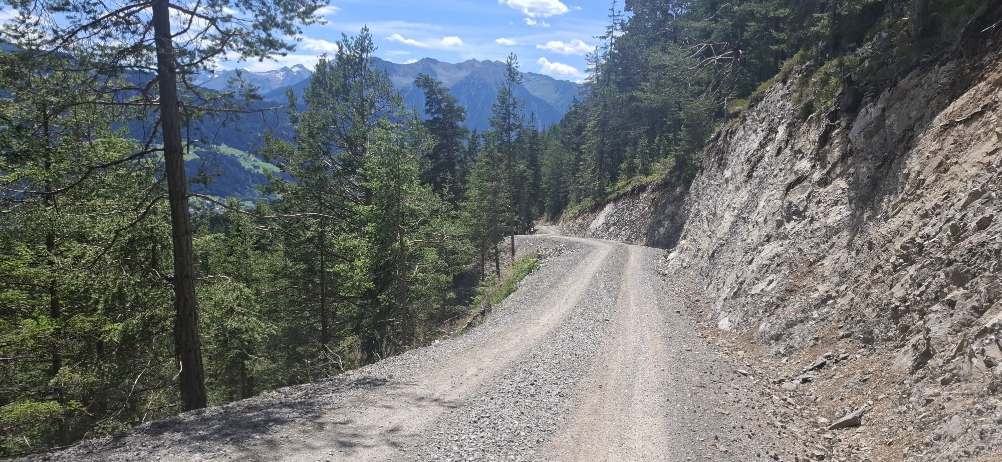
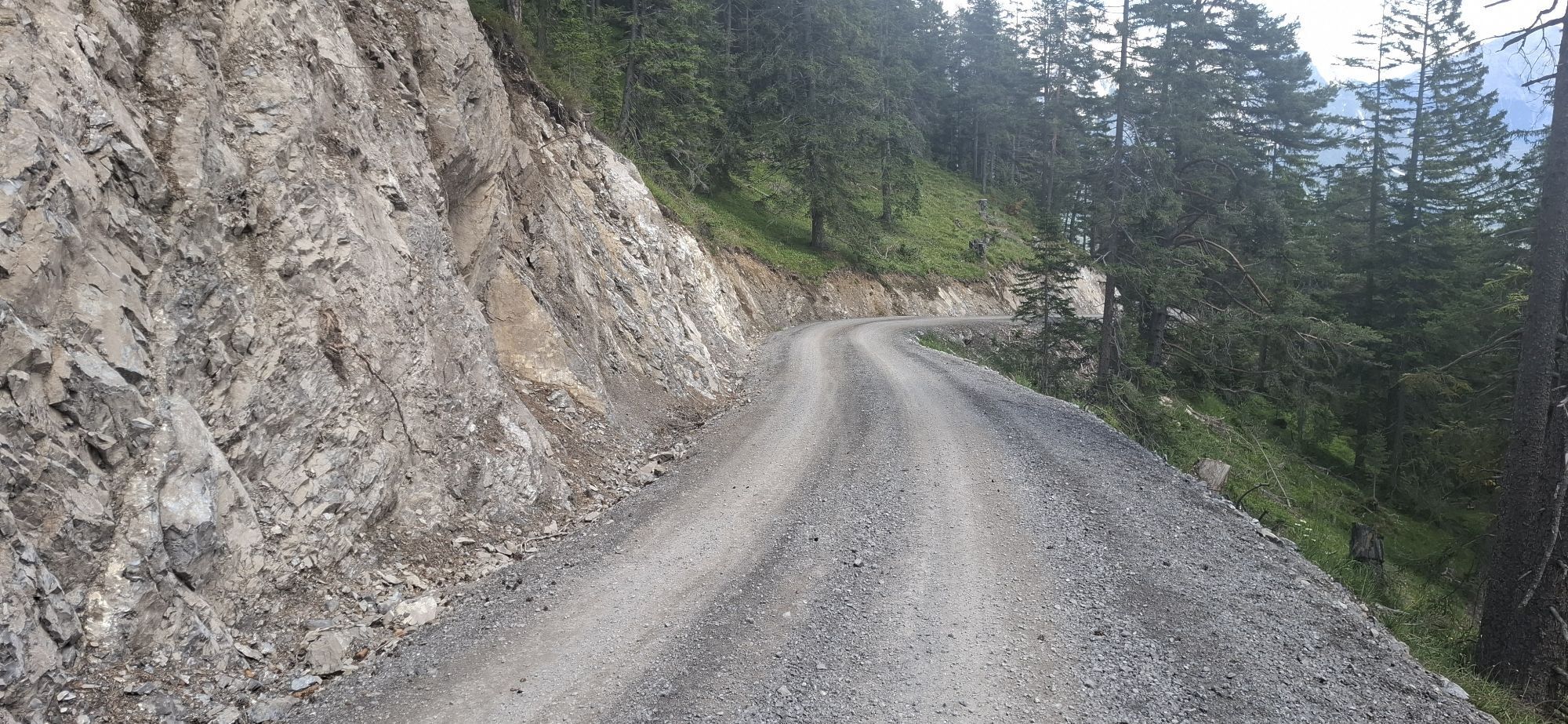
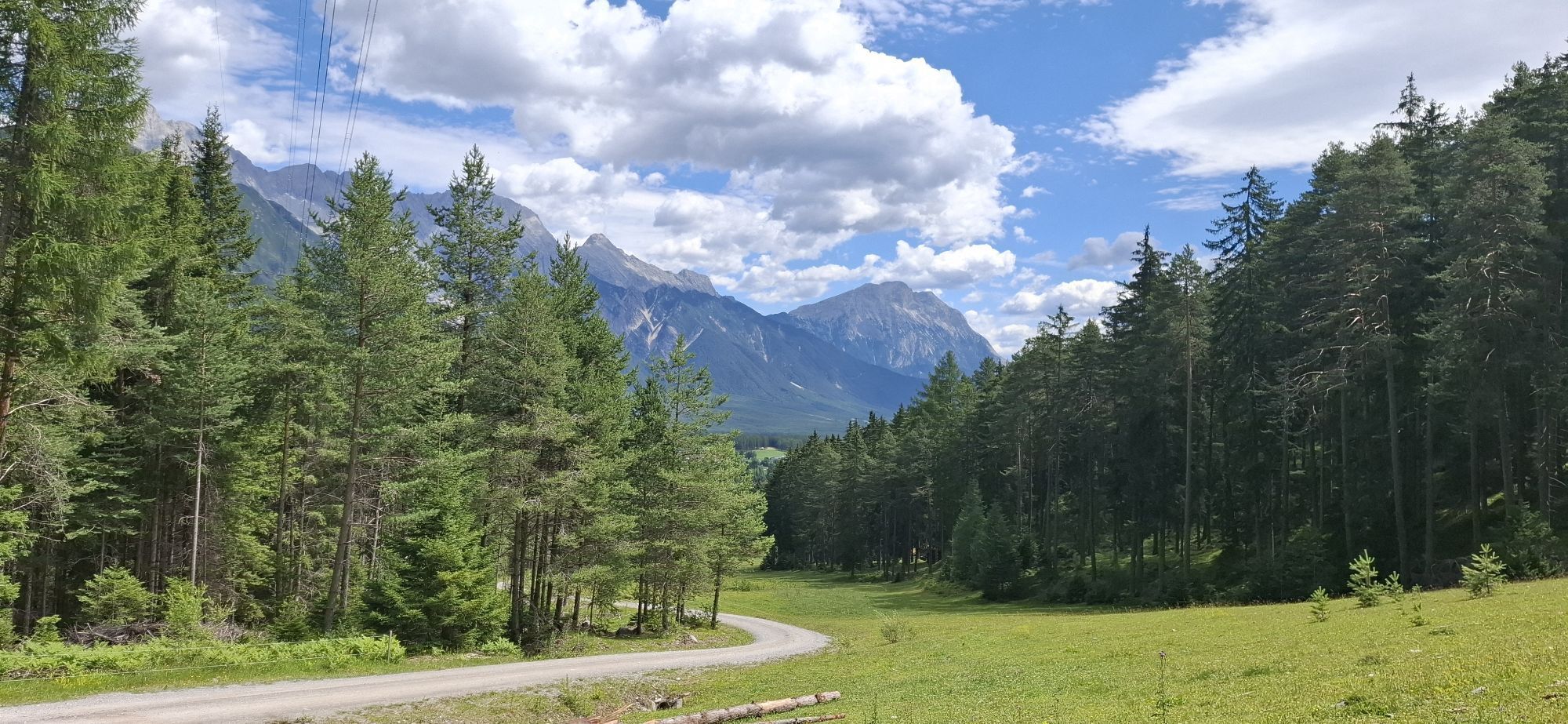
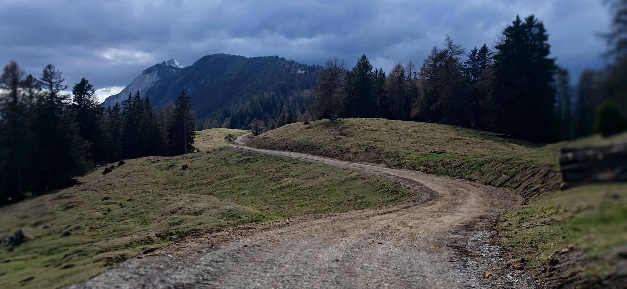
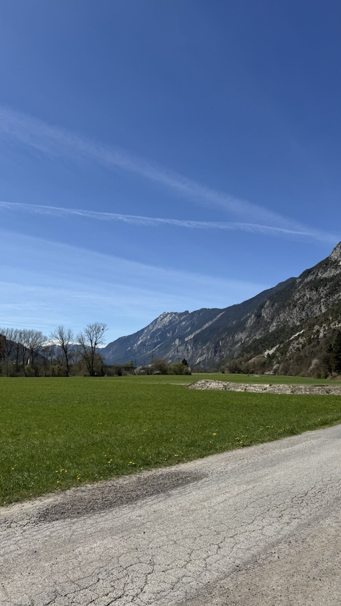
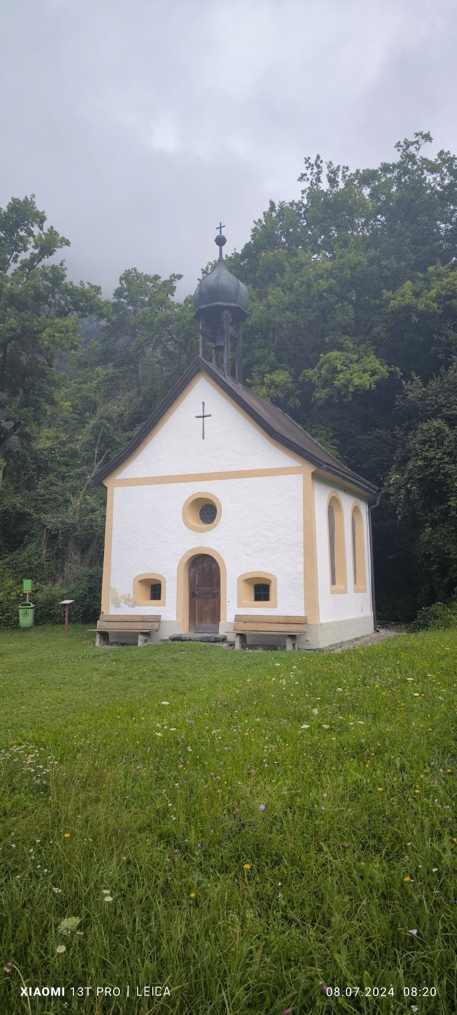
The starting point of this bike tour is the Magerbach car park in Haiming. To begin with, you roll along flat and relaxed on the Inn Cycle Path beside the river, past Silz and on to just before Mötz. Here you leave the Inn Cycle Path and follow the road branching off to the left. At the chapel you turn left again and ride through Mötz. That marks the end of the easy part: the route now climbs at a constant, pleasantly rideable gradient along the wooded forest road up to a point above Obsteig. A short flat section provides a welcome chance to catch your breath before the next 10 kilometres or so lead continuously uphill.
Suitable equipment is required, such as breathable clothing and weather-appropriate outdoor wear, a bike helmet, gloves, sunglasses and a GPS device or maps. On bike tours without places to stop for refreshments, sufficient food and drink should be carried.
The partly steep climbs and more demanding descents require confident bike handling and a defensive riding style. Fitness and technical demands are rated as moderate. The emphasis is on active, sporty cycling with enjoyment in mind.
3
More information about biking & cycling in the Ötztal: www.oetztal.com/biken
With 42 km and 1,258 metres of ascent, this makes for a perfect route for a varied e-bike tour.
Uzyskaj wgląd Zawsze na żywo z ponad 9 500 kamer internetowych. bergfex Jako użytkownik Pro, możesz teraz zobaczyć odpowiednie kamery internetowe dla wielu wycieczek w aplikacji wycieczki od. Pozwala to na bezpośredni podgląd aktualnych warunków. Popularne wycieczki w okolicy
- 4,7
Trip Tirol ➤ Hike to the Blue Grotto in Rosengarten Gorge Imst
średniWędrówka 4,86 km - 4,9
Sebensee/ Coburger Hütte
średniWędrówka 18,7 km - 4,8
BIEBERWIER | Blindsee
światłoWędrówka 4,84 km - 4,7
Ehrwald - Hoher Gang - Seebensee - Drachensee - Coburger Hütte
ciężkiWycieczki górskie 14,6 km - 4,7
Ehrwald / Drachensee / Coburger Hütte / Seebensee
średniWędrówka 14,8 km - 4,5
Oetz - Piburger See - Oetz
średniWędrówka 7,16 km - 4,7
Summit route Faltegartenköpfl
średniWędrówka 4,04 km - 4,8
lake Piburger See
światłoWędrówka 2,75 km - 4,1
Arzkasten - Lehnberghaus
światłoWędrówka 3,08 km - 4,2
Drachensee
średniWędrówka 4,93 km
Wędrówki i tropienie


Nie przegap ofert i inspiracji na następne wakacje
Twój adres e-mail została dodana do listy mailingowej.





