Vital cycle route from Patscherkofel to Glungezer - South route
światło
Pobierz tę trasę na swój telefon komórkowy
Vital cycle route from Patscherkofel to Glungezer - South route
światło
Jazda na rowerze
12,94
km
Zeskanuj kod QR i rozpocznij nawigację w aplikacji bergfex.

Wędrówki i tropienie


Vital cycle route from Patscherkofel to Glungezer - South route
światło
Odległość
12,94
km
Czas trwania
01:12
h
Ascent
195
hm
Poziom morza
886 -
986
m
Poziom trudności: 1
Ścieżka do pobrania
Vital cycle route from Patscherkofel to Glungezer - South route
światło
Jazda na rowerze
12,94
km
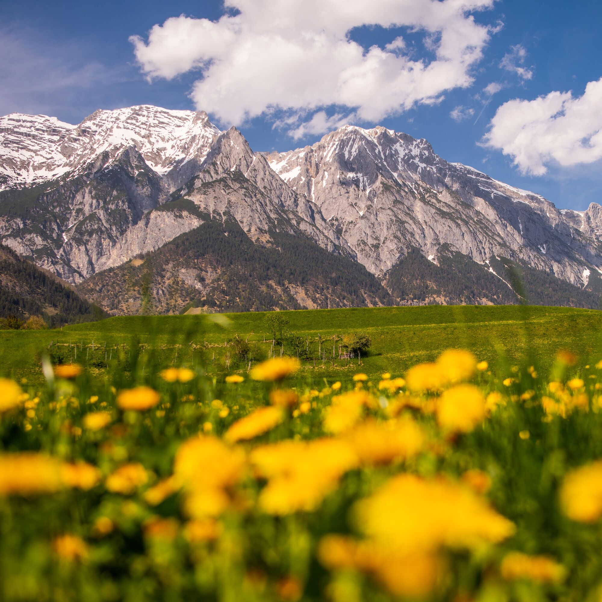
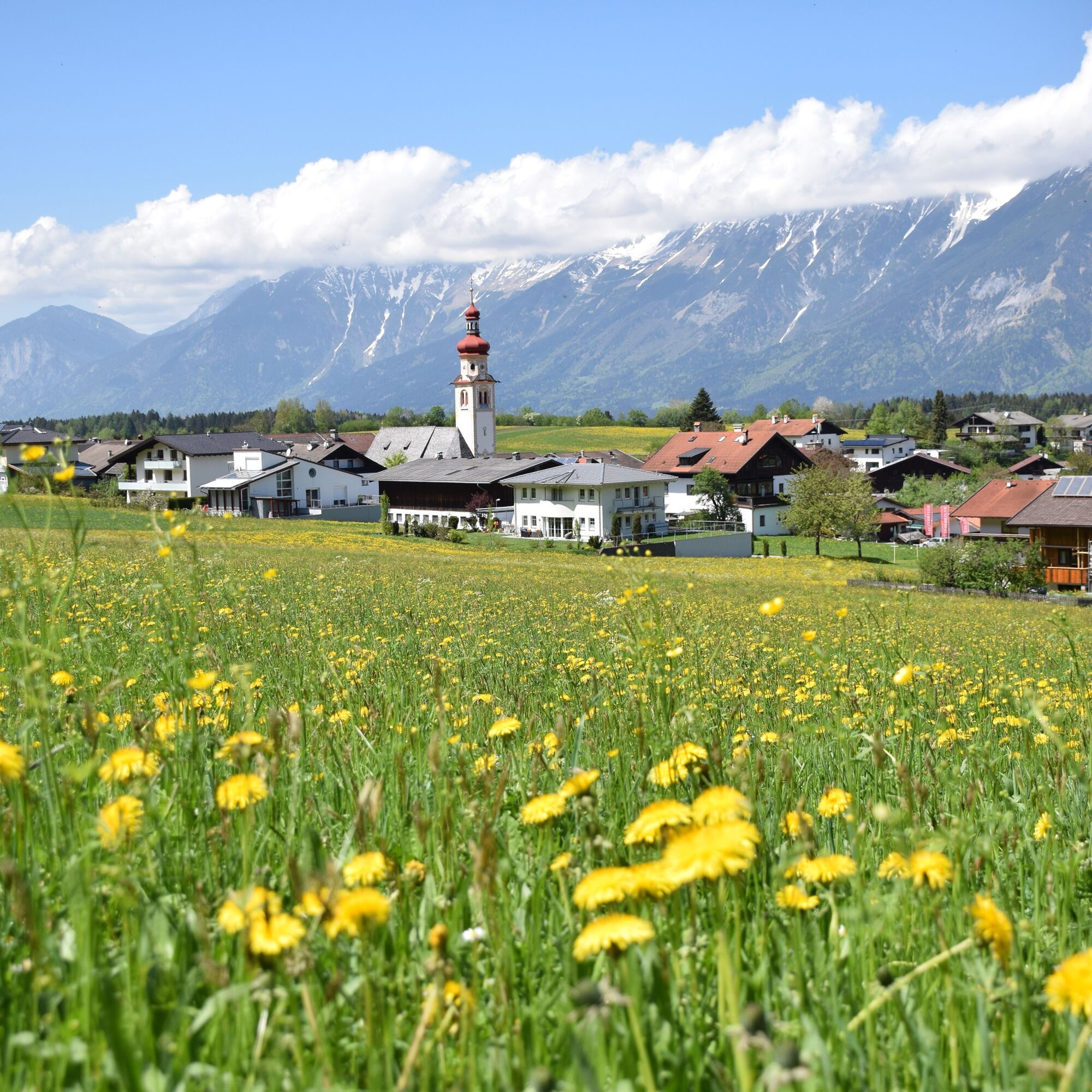
Beautiful cycle route through the villages in the southern low mountain range.
Trasa
Sistrans
(919 m)
Wioska
3,5 km
Außere Boge
(944 m)
Korytarz/teren
4,7 km
Starkensiedlung
(906 m)
Rozliczenie
5,5 km
Triendlsiedlung
(889 m)
Rozliczenie
7,8 km
Rinn
(918 m)
Wioska
10,2 km
Huisn Kapelle
(929 m)
Miejsce kultu
12,2 km
Pfarrkirche Tulfes
(923 m)
Miejsce kultu
12,6 km
Trasa
Vital cycle route from Patscherkofel to Glungezer - South route
światło
Jazda na rowerze
12,94
km
Gasthaus Glungezer
(933 m)
Restauracja
3,3 km
Sistrans
(919 m)
Wioska
3,5 km
Außere Boge
(944 m)
Korytarz/teren
4,7 km
Plattenmahd
(929 m)
Korytarz/teren
5,4 km
Starkensiedlung
(906 m)
Rozliczenie
5,5 km
Asten
(886 m)
Sąsiedztwo
6,2 km
Triendlsiedlung
(889 m)
Rozliczenie
7,8 km
Mooshöfe
(889 m)
Sąsiedztwo
9,3 km
Rinn
(918 m)
Wioska
10,2 km
Unterlavierenbad
(890 m)
Sąsiedztwo
10,7 km
Brennstüberl
(891 m)
Restauracja
10,7 km
Huisn Kapelle
(929 m)
Miejsce kultu
12,2 km
Pfarrkirche Tulfes
(923 m)
Miejsce kultu
12,6 km
Tulfes
(923 m)
Wioska
12,8 km
Autor
Dostarczone przez Tourismusverband Region Hall-Wattens
Wycieczkę Vital cycle route from Patscherkofel to Glungezer - South route zapewnia outdooractive.com.
Informacje o trasie
Trasa
From the car park of the old Patscherkofel cable car it goes above Igls through a short forest section to Sistrans. Over meadows and fields, it then loops through the meadow farms to Judenstein and from there to Rinn. From Rinn, along the quiet country road to Tulfes.
Odpowiedni dla rodzin
Tak
Informacje o przyjeździe
Parking
at the valley station of the old Patscherkofel cable car
Dodatkowe informacje i wskazówki
Poziom trudności
1
Wyceny
Kamery internetowe z trasy
Kinderland Rinn
Inntal
Innsbruck - Adlers Hotel
Hall in Tirol - Heiligkreuz
UNI Innsbruck
Innsbruck - Markthalle
Innsbruck - Patscherkofel
Oberer Stadtplatz
Glungezerbahn Mittelstation
Oberer Stadtplatz
Glungezerbahn Mittelstation
Glungezerbahn Mittelstation
Glungezerbahn Mittelstation
Oberer Stadtplatz
UNI Innsbruck West
Oberer Stadtplatz
Glungezerbahn Bergstation
Glungezerbahn Bergstation
Glungezerbahn Bergstation
Glungezerbahn Bergstation
Glungezerbahn Bergstation
Oberer Stadtplatz
Oberer Stadtplatz
Glungezerhütte
Patscherkofelbahn Talstation
Baggersee Roßau
Baggersee Roßau
Baggersee Roßau
Hall in Tirol
Popularne wycieczki w okolicy
- 4,7
Felix-Kuen via ferrata on the Hundskopf
ciężkiVia ferrata 2,18 km - 4,8
Seegrube - Hungerburg
średniWędrówka 5,04 km - 4,8
Axamer Lizum zum Halsl und weiter zur Saile/Nockspitze
średniWędrówka 3,85 km - 4,7
Patscherkofl
średniWędrówka 18,5 km - 4,6
To the scenic Hochmahdkopf
średniWędrówka 8,31 km - 4,5
Up to the Largoz
średniWędrówka 7,01 km - 3,8
To the alpine inn St. Magdalena in the Halltal
średniWędrówka 7,24 km - 4,8
Halltal - Bettelwurfhütte - Kleiner und Großer Bettelwurf
ciężkiWycieczka wysokogórska 16,2 km - 4,9
3 Almen Karwendelrunde MTB Route 408
ciężkiMountainbike 23,8 km - 4,7
Muttereralm Skitourentrack
światłoWycieczka narciarska 3,23 km

Wędrówki i tropienie

Ponad 550.000 propozycji wycieczek, szczegółowe mapy i intuicyjny planer tras sprawiają, że aplikacja jest niezbędna dla wszystkich entuzjastów przyrody.

Nie przegap ofert i inspiracji na następne wakacje
Zapisz się do newslettera
Błąd
Wystąpił błąd. Spróbuj ponownie.Dziękujemy za rejestrację
Twój adres e-mail została dodana do listy mailingowej.
Wycieczki po całej Europie
Austria Szwajcaria Niemcy Włochy Słowenię Francja Holandia Belgia Polska Liechtenstein Czechy Słowacja Hiszpania Chorwacja Bośnia i Hercegowina Luksemburg Andorra Portugalia Islandia Wielka Brytania Irlandia Grecja Albania Macedonia Północna Malta Norwegia Czarnogóra Mołdawia Kosowo Węgry San Marino Rumunia Estonia Łotwa Białoruś Cypr Litwa Serbia Bułgaria Monako Dania Szwecja Finlandia