
Iseltal cycle trail No. 22
światło
Pobierz tę trasę na swój telefon komórkowy
Iseltal cycle trail No. 22
światło
Jazda na rowerze
53,19
km
Zeskanuj kod QR i rozpocznij nawigację w aplikacji bergfex.


Wędrówki i tropienie





Iseltal cycle trail No. 22
światło
Odległość
53,2
km
Czas trwania
03:00
h
Ascent
253
hm
Poziom morza
679 -
967
m

Nawiguj po trasie w aplikacji
Zainstaluj aplikację za darmo i śledź trasę dzięki nawigacji GPS i funkcji śledzenia.
Skorzystaj już teraz z funkcji „ bergfex ” w aplikacji
Zeskanuj kod QR za pomocą aparatu
Po zainstalowaniu aplikacji treść otworzy się od razu. Jeśli jeszcze nie masz tej aplikacji, zostaniesz przekierowany do strony, z której możesz ją bezpłatnie pobrać.
Ścieżka do pobrania
Iseltal cycle trail No. 22
światło
Jazda na rowerze
53,19
km
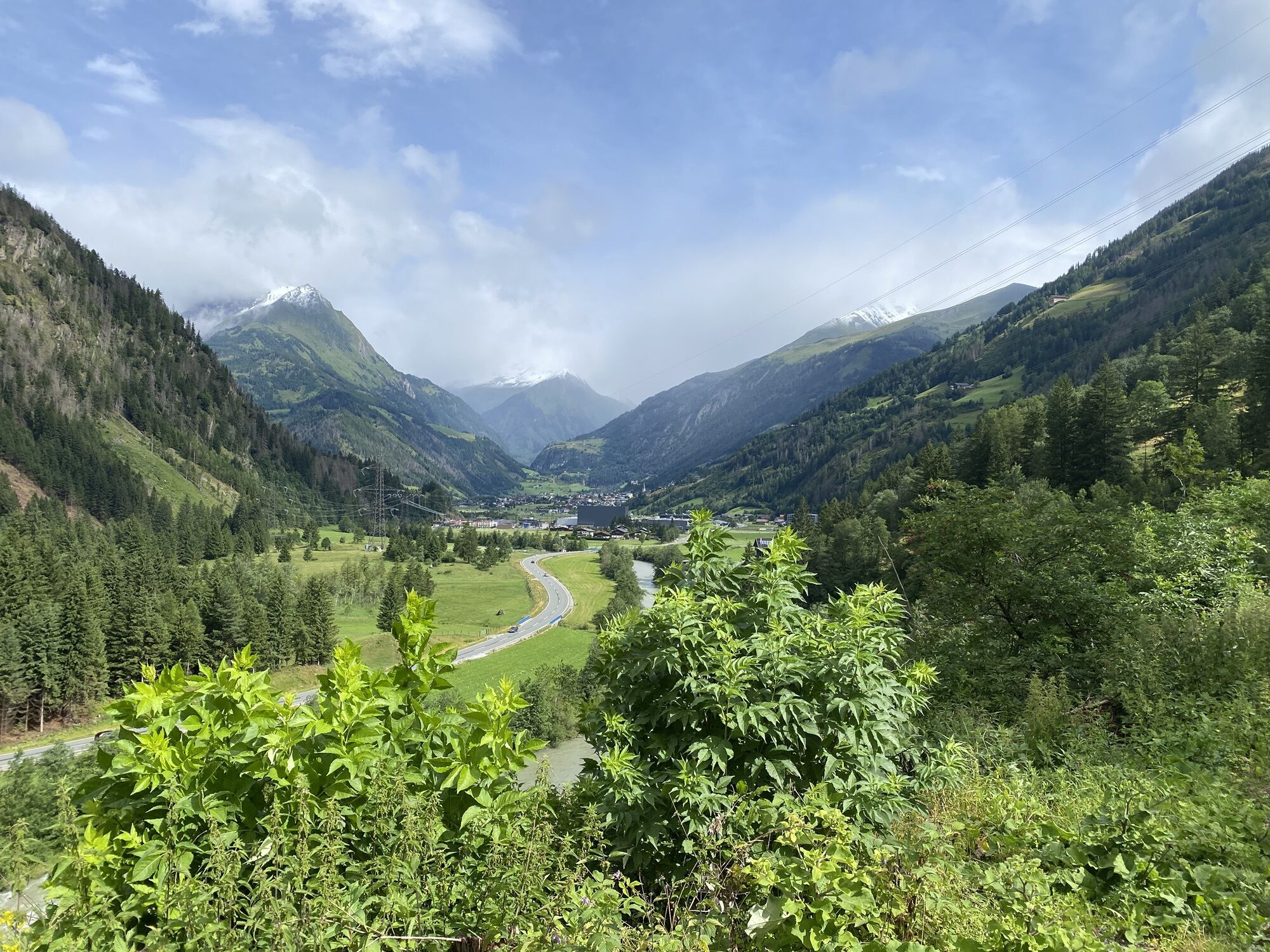
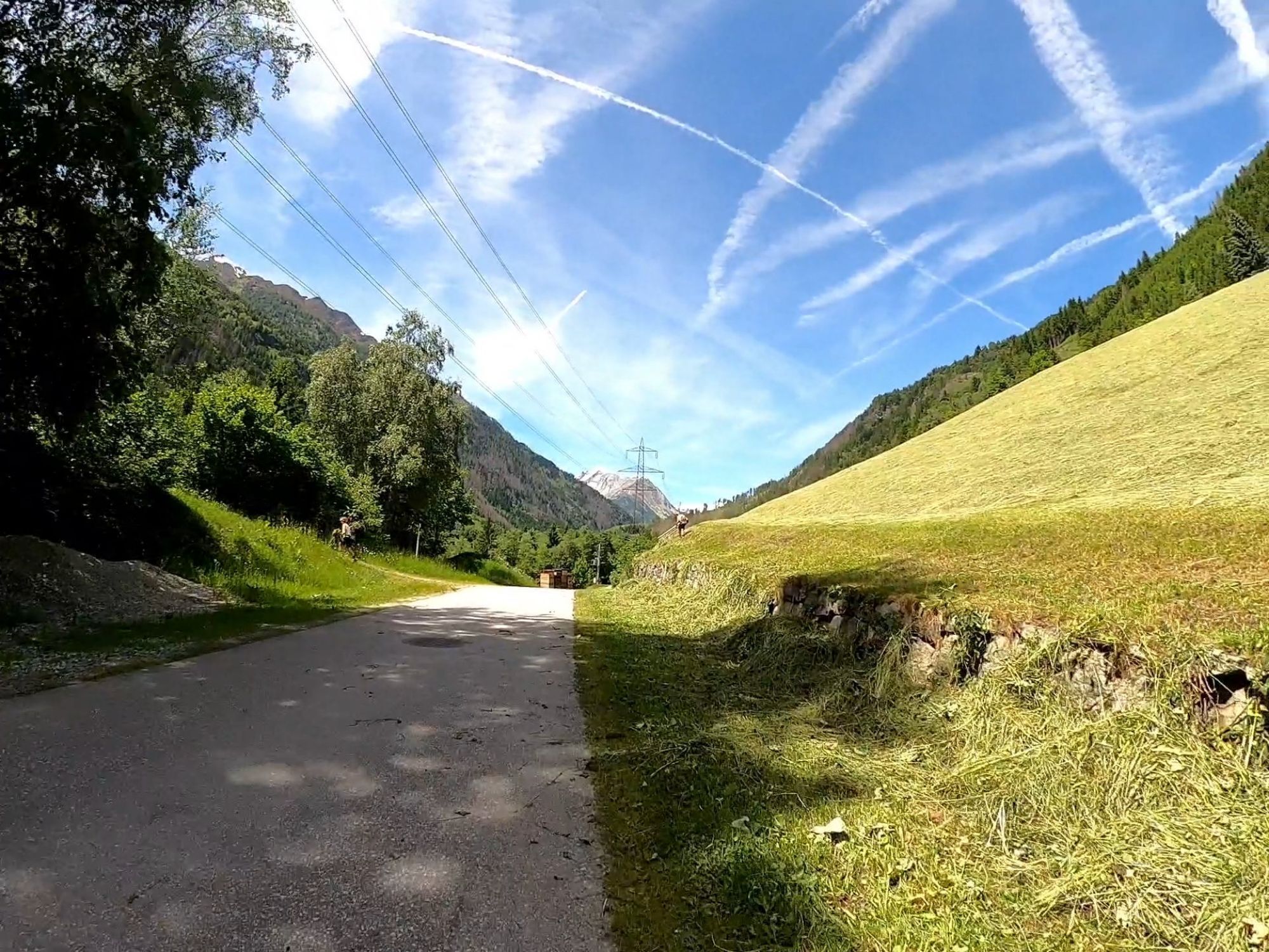
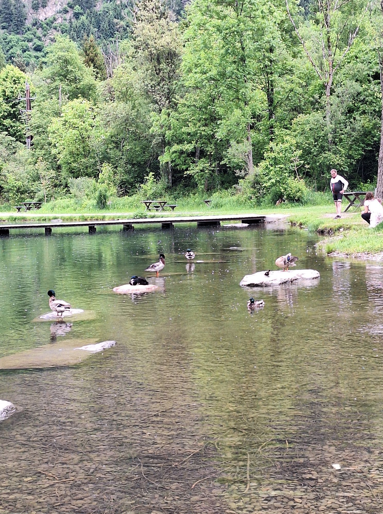
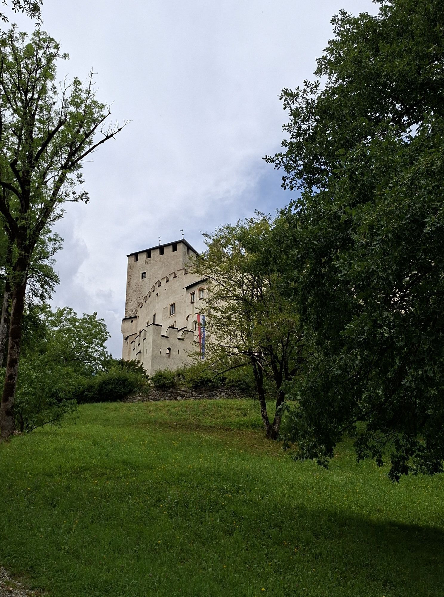
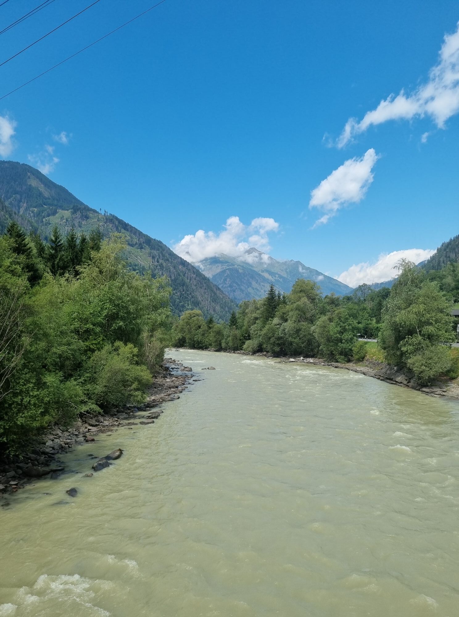
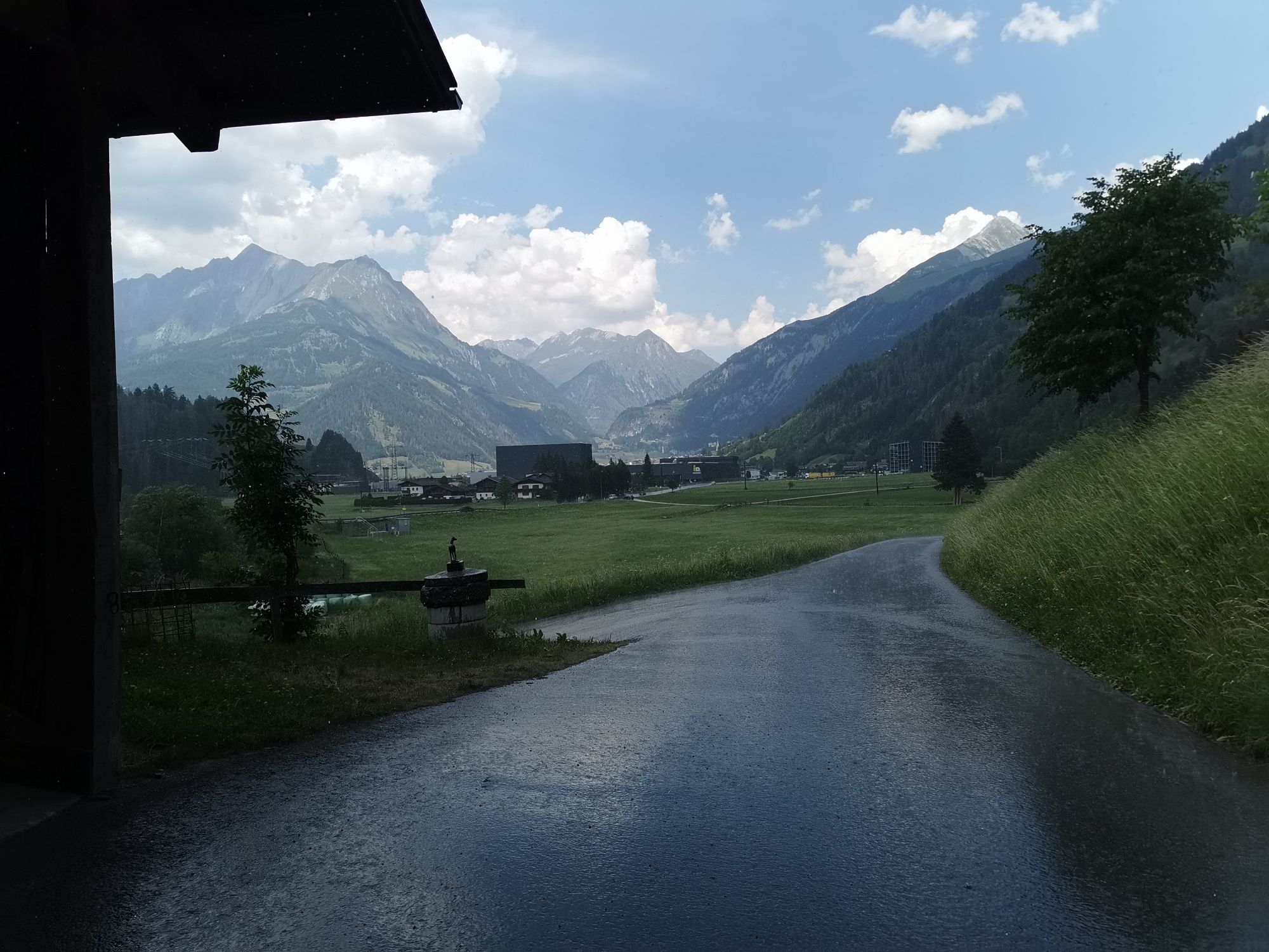
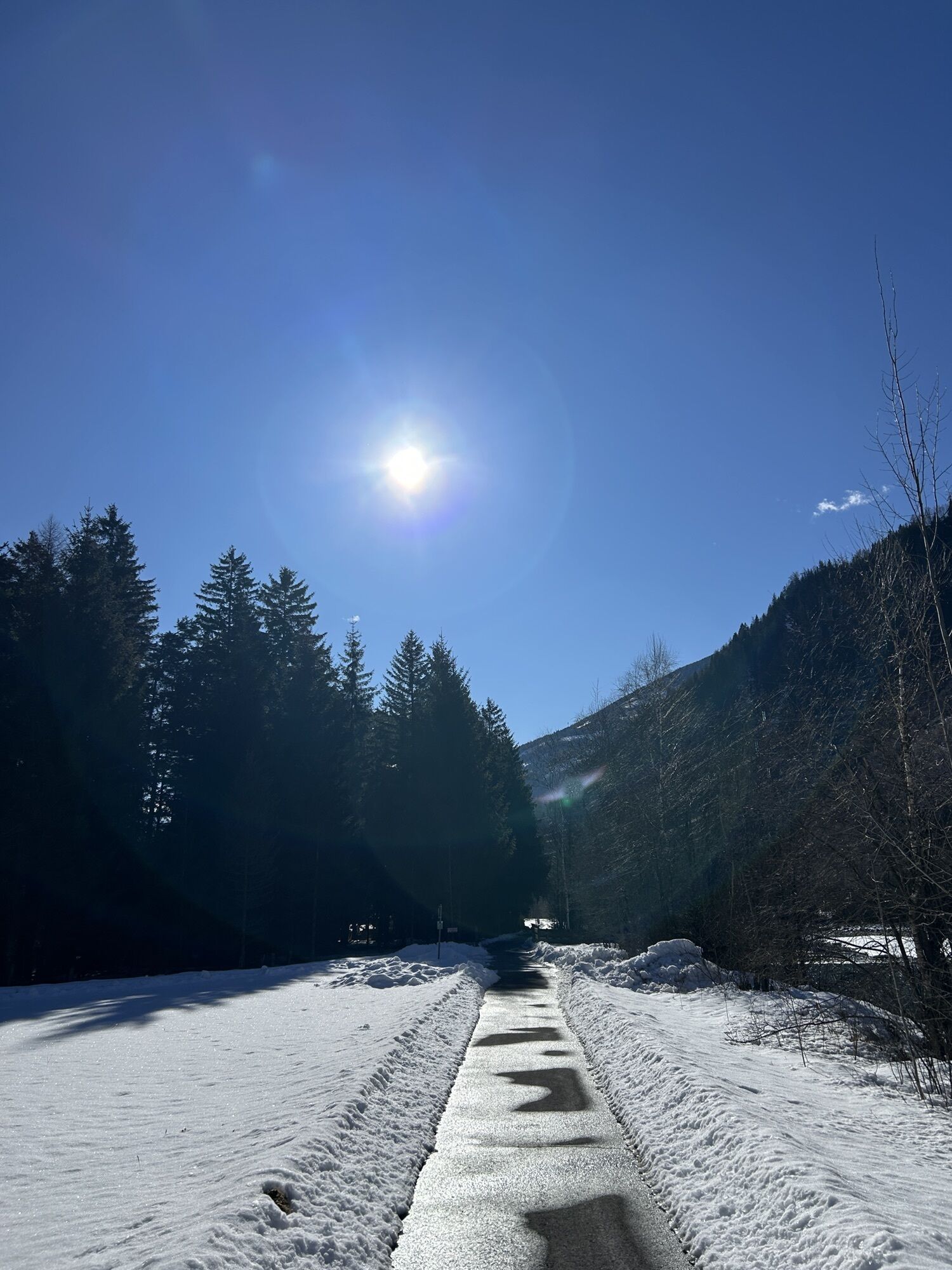
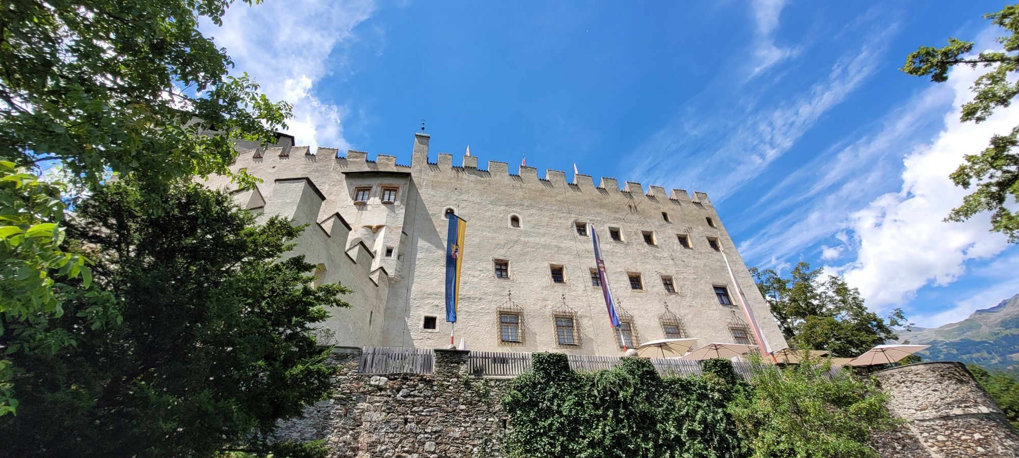

With a length of about 29 kilometres and an average gradient of one percent, the Iseltal Cycle Path is a great way to leave the vibrant town of Lienz behind for a little while and to just cycle towards...
Opis
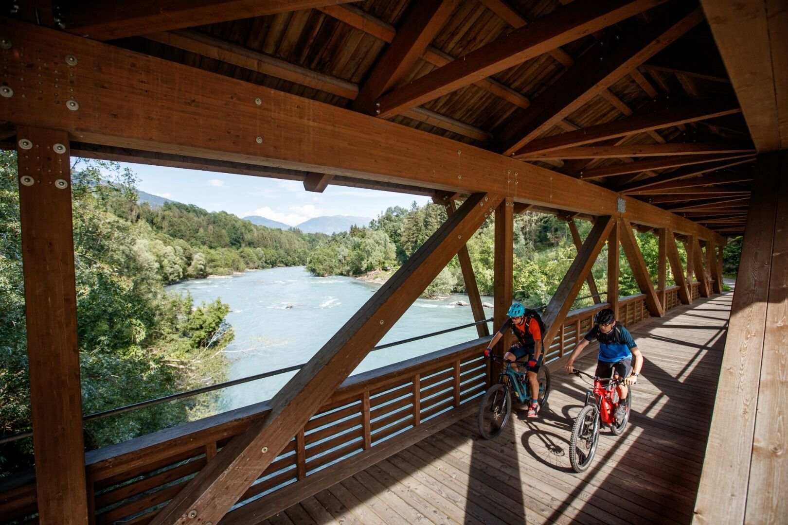
With a length of about 29 kilometres and an average gradient of one percent, the Iseltal Cycle Path is a great way to leave the vibrant town of Lienz behind for a little while and to just cycle towards Matrei. Most of the cycle path is paved and only a short section of rural road to the terminus Matrei is to be travelled.
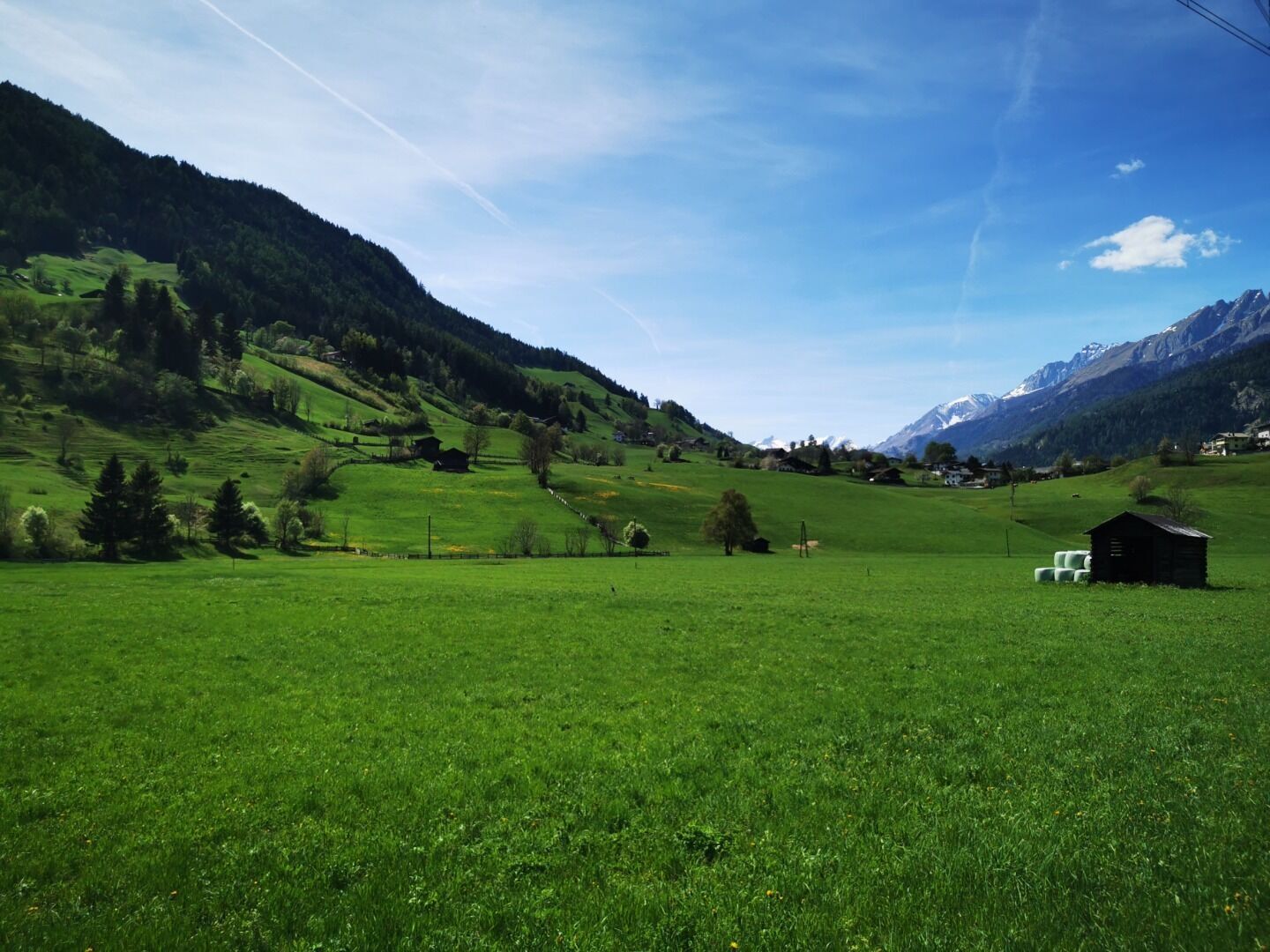
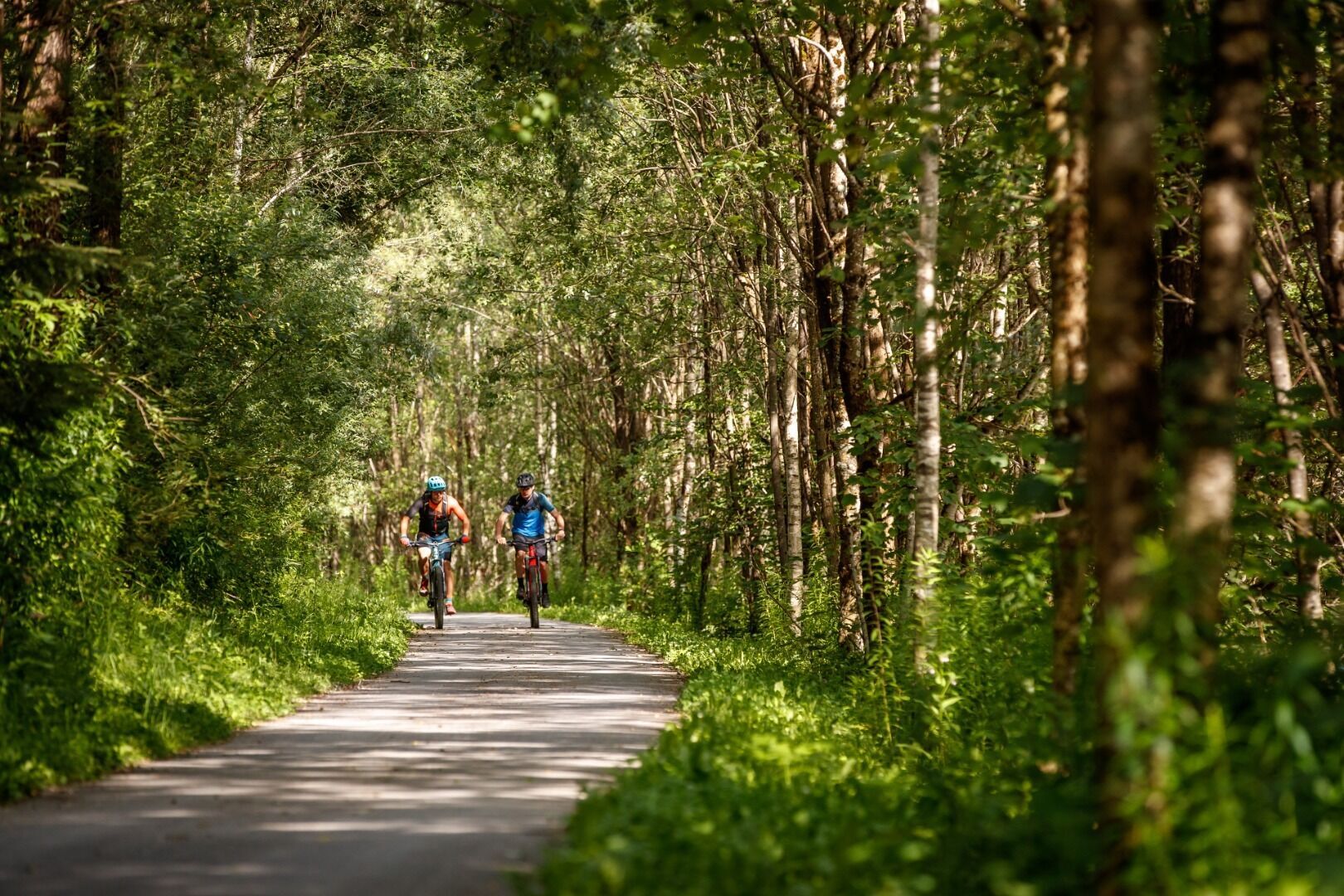
From Lienz to St. Johann im Walde (14 km) you uninterruptedly stay on the incline-free paved cycle path along the Isel. From St. Johann i. W. to Huben (6 km) you will ride on the old road, past the Kienburg Ruin to Huben. From Huben to Feld (4 km), you’ll ride slightly uphill on a country road with not much traffic. From Feld to Matrei (5 km) the cycle path leads through a shady wooded area and then along to Matrei in Osttirol, the principal town of Iseltal Valley.
From Lienz to St. Johann im Walde (14 km) you uninterruptedly stay on the incline-free paved cycle path along the Isel. From St. Johann i. W. to Huben (6 km) you will ride on the old road, past the Kienburg Ruin to Huben. From Huben to Feld (4 km), you’ll ride slightly uphill on a country road with not much traffic. From Feld to Matrei (5 km) the cycle path leads through a shady wooded area and then along to Matrei in Osttirol, the principal town of Iseltal Valley.
Trasa
Lienz
(674 m)
Miasto
0,0 km
Maria-Hilf-Kapelle
(749 m)
Miejsce kultu
13,0 km
Herz Jesu
(819 m)
Miejsce kultu
19,3 km
Seblas
(967 m)
Wioska
25,8 km
Herz Jesu
(819 m)
Miejsce kultu
33,8 km
Maria-Hilf-Kapelle
(749 m)
Miejsce kultu
40,0 km
Lienz
(674 m)
Miasto
53,1 km
Trasa
Iseltal cycle trail No. 22
światło
Jazda na rowerze
53,19
km
Lienz
(674 m)
Miasto
0,0 km
Ainet
(747 m)
Wioska
6,5 km
Unterdörfl
(712 m)
Rozliczenie
6,7 km
Schattseite
(724 m)
Rozliczenie
6,7 km
Restaurant Adventurepark Osttirol
(715 m)
Restauracja
7,7 km
Maria-Hilf-Kapelle
(749 m)
Miejsce kultu
13,0 km
Sankt Johann im Walde
(749 m)
Wioska
13,4 km
Unterpeischlach
(823 m)
Wioska
17,4 km
Kienburg
(793 m)
Rozliczenie
17,6 km
Huben
(819 m)
Wioska
19,0 km
Gasthaus Post
(819 m)
Restauracja
19,2 km
Herz Jesu
(819 m)
Miejsce kultu
19,3 km
Moos
(854 m)
Wioska
20,3 km
Landgasthof Steiner
(921 m)
Restauracja
22,4 km
Feld
(925 m)
Rozliczenie
22,4 km
Feldner Katarakt
(892 m)
Wodospad
22,7 km
Seblas
(967 m)
Wioska
25,8 km
Goldried I
(928 m)
Stacja gondoli
26,4 km
Feldner Katarakt
(892 m)
Wodospad
30,4 km
Feld
(925 m)
Rozliczenie
30,7 km
Landgasthof Steiner
(921 m)
Restauracja
30,7 km
Moos
(854 m)
Wioska
32,0 km
Huben
(819 m)
Wioska
33,5 km
Herz Jesu
(819 m)
Miejsce kultu
33,8 km
Gasthaus Post
(819 m)
Restauracja
33,8 km
Kienburg
(793 m)
Rozliczenie
35,5 km
Unterpeischlach
(823 m)
Wioska
35,5 km
Sankt Johann im Walde
(749 m)
Wioska
39,3 km
Maria-Hilf-Kapelle
(749 m)
Miejsce kultu
40,0 km
Restaurant Adventurepark Osttirol
(715 m)
Restauracja
45,2 km
Ainet
(747 m)
Wioska
46,2 km
Unterdörfl
(712 m)
Rozliczenie
46,3 km
Schattseite
(724 m)
Rozliczenie
46,3 km
Lienz
(674 m)
Miasto
53,1 km

Ostatnio śledzony
7 dni temu

Sprzęt
Basic cycling equipment includes a well-fitting helmet and functional clothing adapted to the weather and temperature. Essential items are rain, sun, and wind protection, a repair kit, a first-aid kit, a charged mobile phone, as well as sufficient fluids and provisions. Gloves and eyewear protect hands and eyes, whileâ¯lights improve visibility.â¯â¯A map or a GPS device assist with orientation.
This information serves as a guide and does not claim to be exhaustive. Equipment must always be adapted to the tour destination, weather conditions, season, natural hazards, environmental influences, and personal needs.
This information serves as a guide and does not claim to be exhaustive. Equipment must always be adapted to the tour destination, weather conditions, season, natural hazards, environmental influences, and personal needs.
Informacje o przyjeździe
Przybycie
Coming from Lienz railway station, drive in the direction of Iseltal and park at the Hochstein car park.
Transport publiczny
Lienz Hochstein/Schloss Bruck
Parking
Coming from Lienz railway station, drive in the direction of Iseltal and park at the Hochstein car park.
Hochsteinbahn car park
Hochsteinbahn car park
Nie ma jeszcze recenzji
Kamery internetowe z trasy
Hochsteinhütte
Zettersfeld /Obergaimberg
Matrei in Osttirol
Lienz Hauptplatz
Tristachersee
Amlach - Naturrodelbahn Lienzer - Dolomiten
Matrei Bergstation Goldried
Matrei Bergstation Goldried
Berggasthaus Goldried
Adlerlounge - Cimaross
Kalsertal
Matrei in Osttirol - Bethuberhof
Matrei in Osttirol / Strumerhof
Matrei in Osttirol

Wszystkie kamery internetowe na mapie
Zainstaluj aplikację za darmo i porównaj obrazy na żywo z kilku miejsc, zanim wyruszysz w drogę.
Skorzystaj już teraz z funkcji „ bergfex ” w aplikacji
Zeskanuj kod QR za pomocą aparatu
Po zainstalowaniu aplikacji treść otworzy się od razu. Jeśli jeszcze nie masz tej aplikacji, zostaniesz przekierowany do strony, z której możesz ją bezpłatnie pobrać.
Popularne wycieczki w okolicy
- 4,8
Summit hike Rotenkogel 2,762m
ciężkiWędrówka 4,22 km - 4,8
Circular hike suspension bridge Isel Canyon via "Hohe Bank"
średniWędrówka 8,11 km - 4,6
Circular hike Proßeggklamm
średniWędrówka 8,41 km - 4,9
Figerhorn 2743m, Lucknerhaus
ciężkiWędrówka 6,69 km - 4,9
Glockner
średniWycieczka wysokogórska 19 km - 4,7
Glödis 3206m: PP Seichenbrunn, Lienzer Hütte, Glödis KS A/B
ciężkiWycieczka wysokogórska 16,1 km - 4,8
Adlerlounge Europapanoramaweg
średniWędrówka 6,86 km - 4,5
Böses Weibele, 3119m, Lucknerhaus
ciężkiWędrówka 13,8 km - 4,3
Lucknerhaus - Stüdlhütte
średniWędrówka 10,2 km - 4,7
1 Großglockner Normalweg von der Stüdlhütte (Tirol & Kärnten)
ciężkiWycieczka wysokogórska 8,17 km

Wędrówki i tropienie

Ponad 550.000 propozycji wycieczek, szczegółowe mapy i intuicyjny planer tras sprawiają, że aplikacja jest niezbędna dla wszystkich entuzjastów przyrody.

Nie przegap ofert i inspiracji na następne wakacje
Zapisz się do newslettera
Błąd
Wystąpił błąd. Spróbuj ponownie.Dziękujemy za rejestrację
Twój adres e-mail została dodana do listy mailingowej.
Wycieczki po całej Europie
Austria Szwajcaria Niemcy Włochy Słowenię Francja Holandia Belgia Polska Liechtenstein Czechy Słowacja Hiszpania Chorwacja Bośnia i Hercegowina Luksemburg Andorra Portugalia Islandia Wielka Brytania Irlandia Grecja Albania Macedonia Północna Malta Norwegia Czarnogóra Mołdawia Kosowo Węgry San Marino Rumunia Estonia Łotwa Białoruś Cypr Litwa Serbia Bułgaria Monako Dania Szwecja Finlandia





