







Drau bike route side trip: bike hiking along the Isel

Poziom trudności: 2
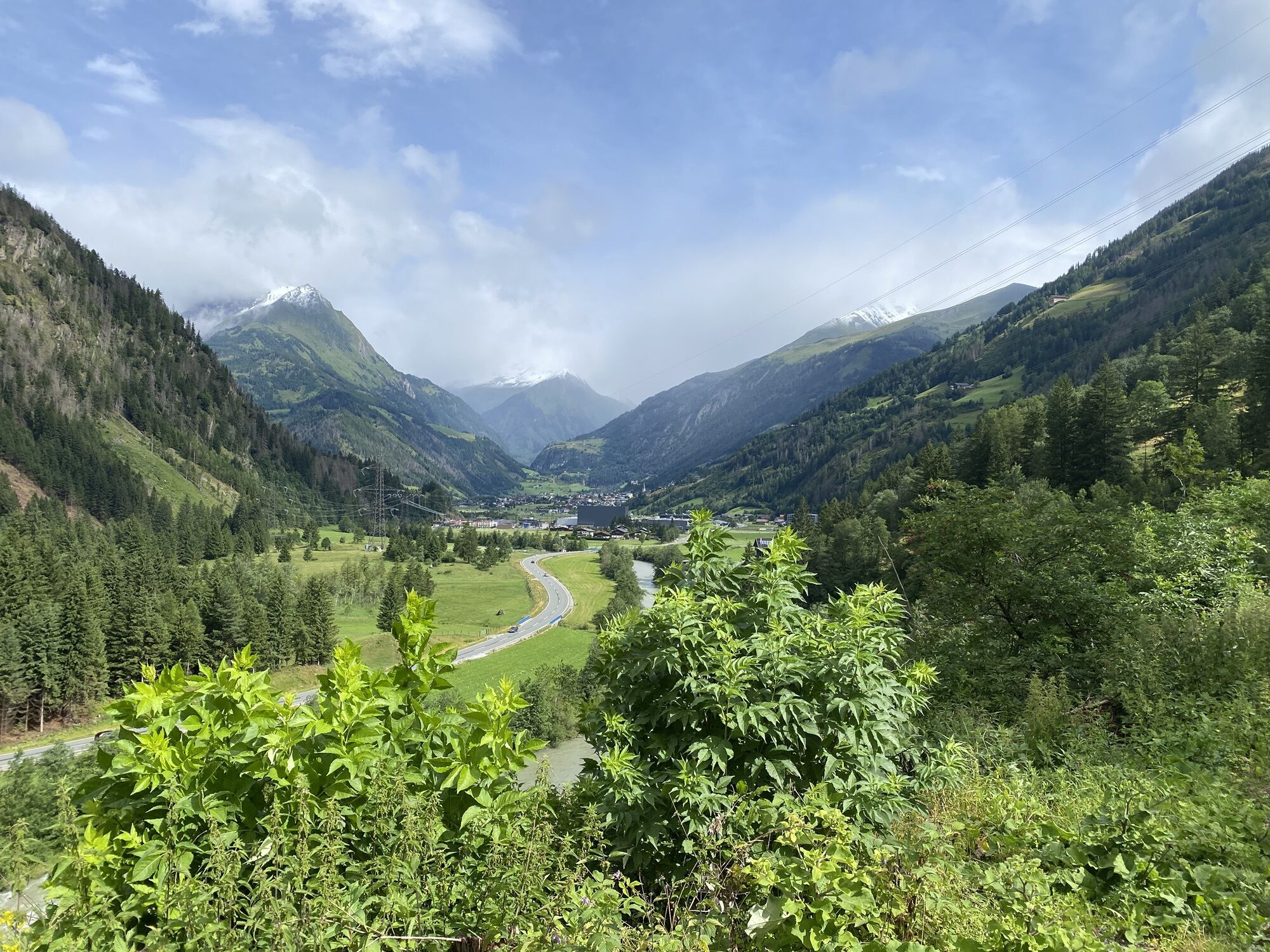
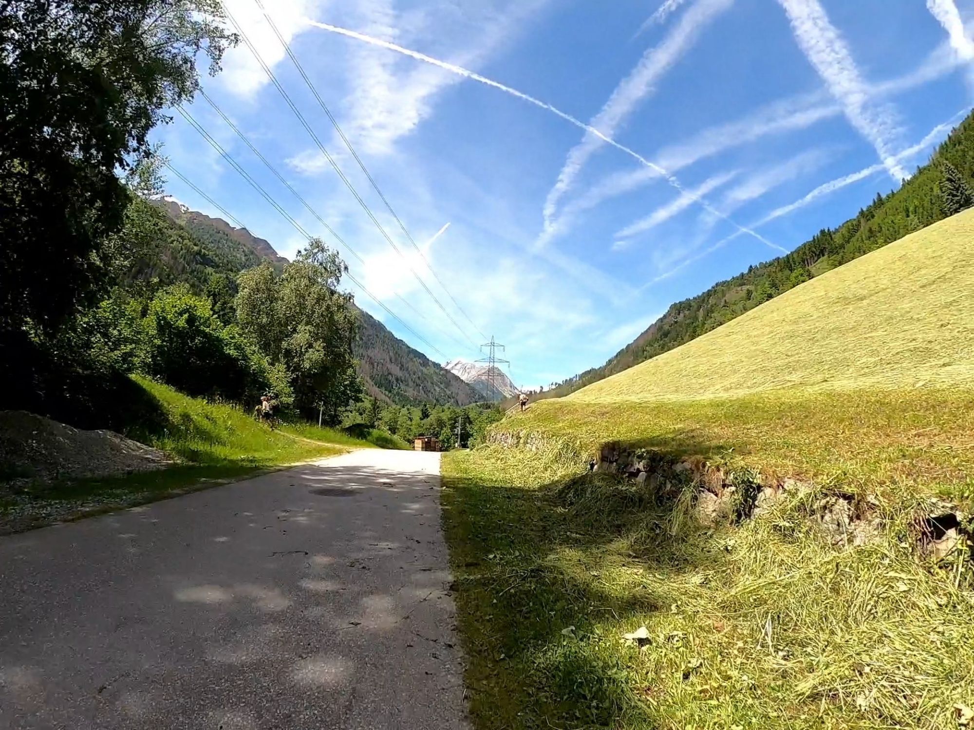
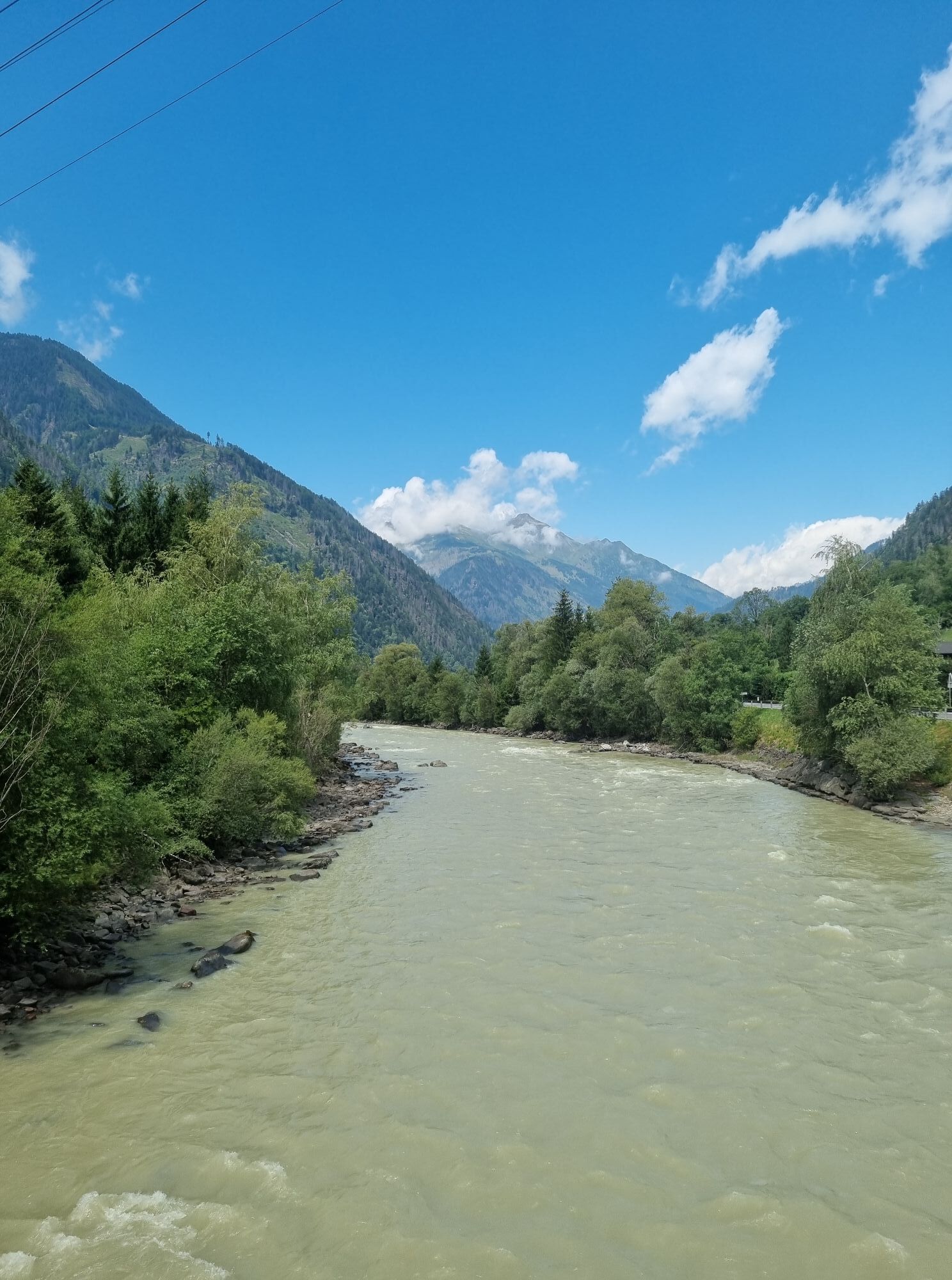
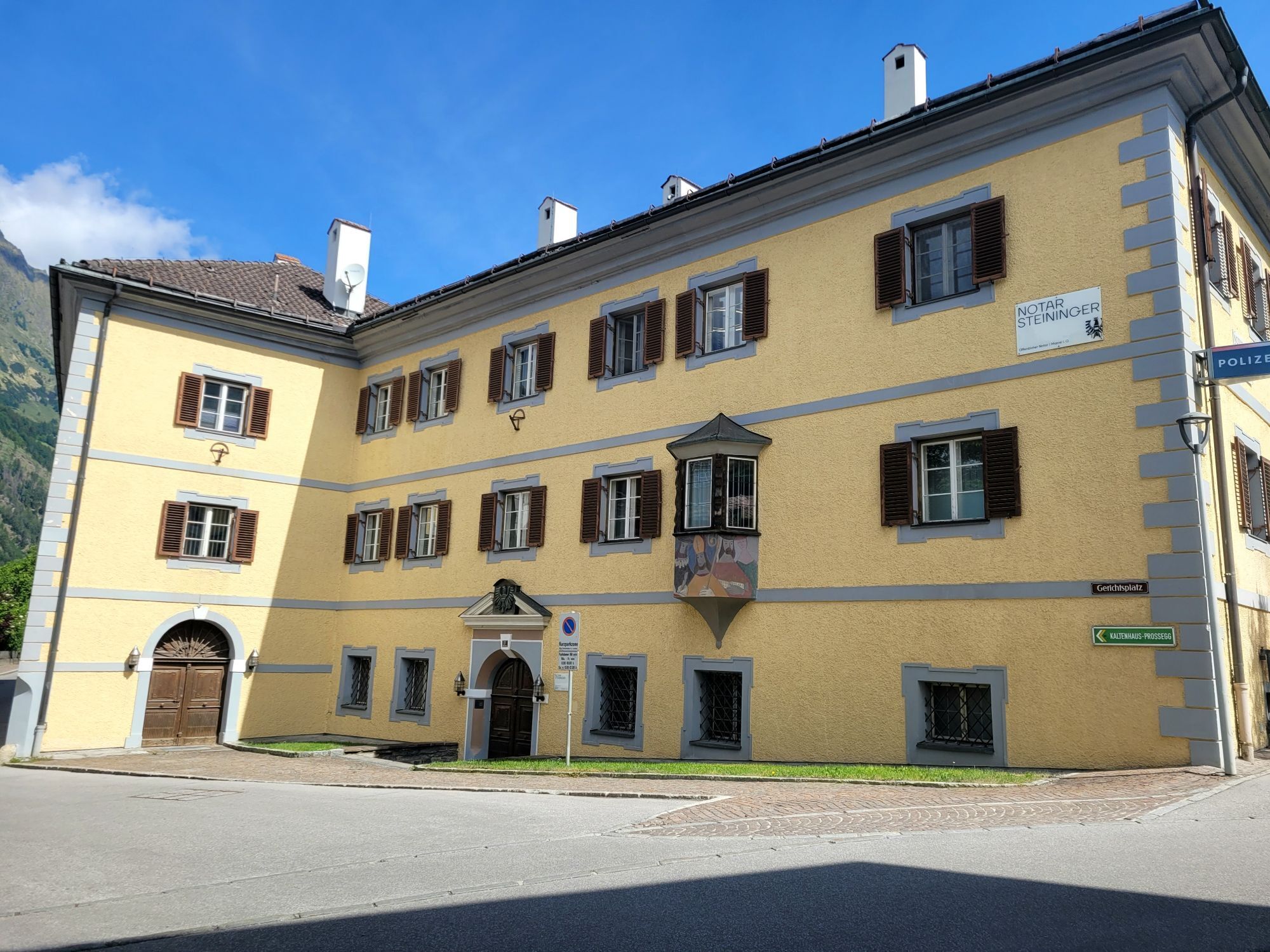
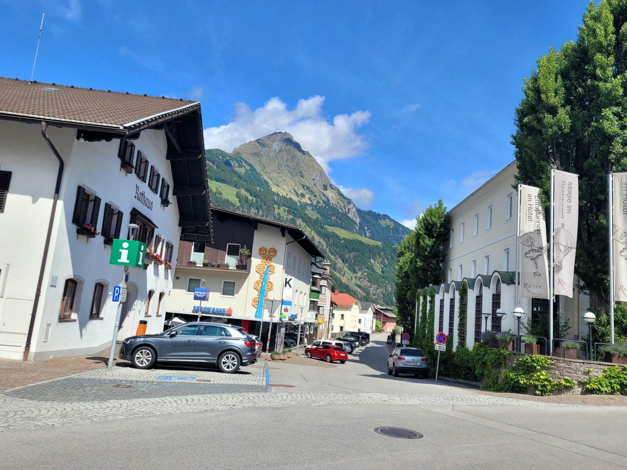
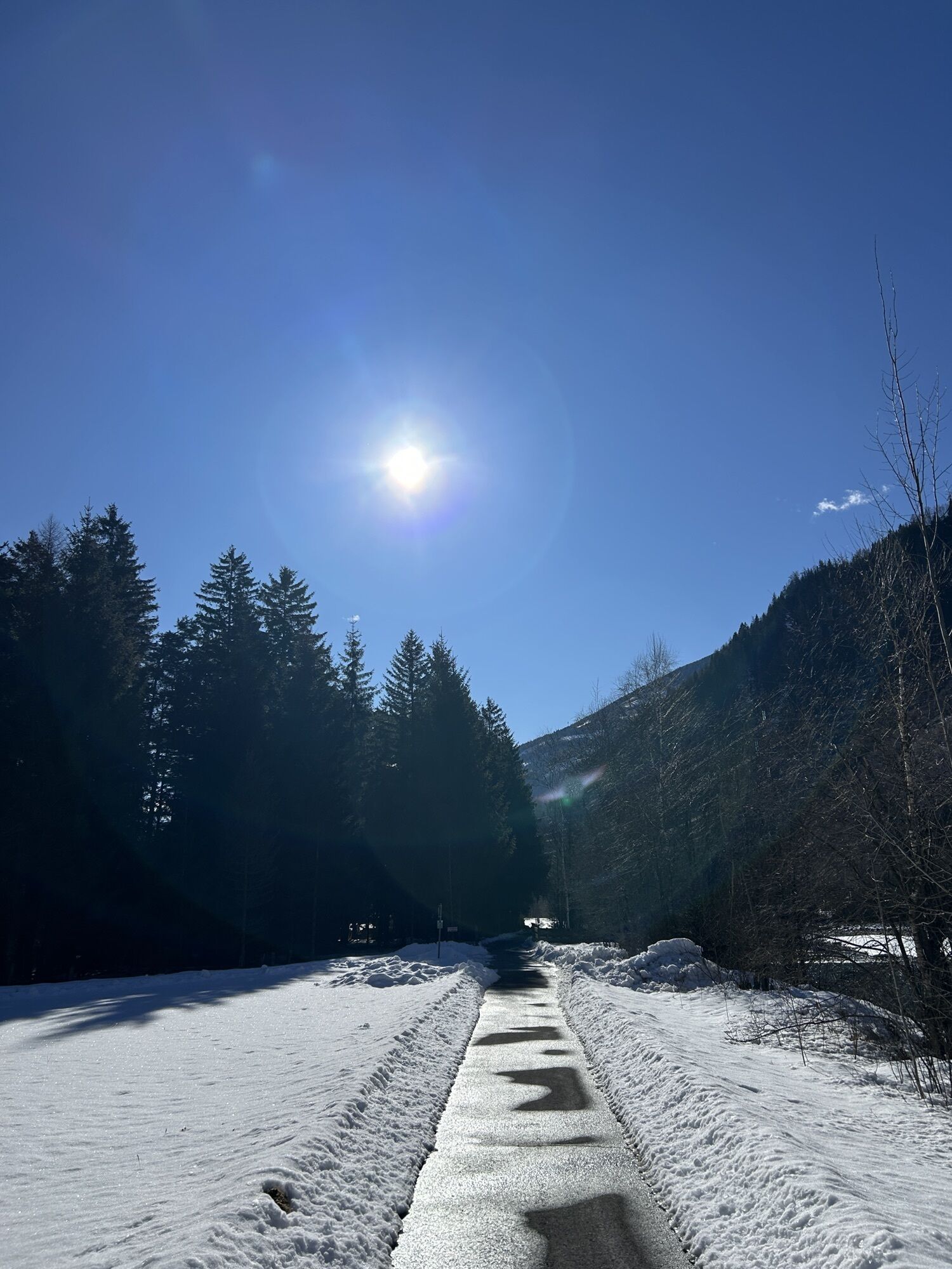


On the family-friendly bike route, just start cycling towards Matrei. The route is mostly asphalted and only a short section of country road has to be ridden until the final stop Matrei. If you only want...
On the family-friendly bike route, just start cycling towards Matrei. The route is mostly asphalted and only a short section of country road has to be ridden until the final stop Matrei. If you only want to travel one way by bike, you can use the bus connections available all day to comfortably and safely return to your starting point.
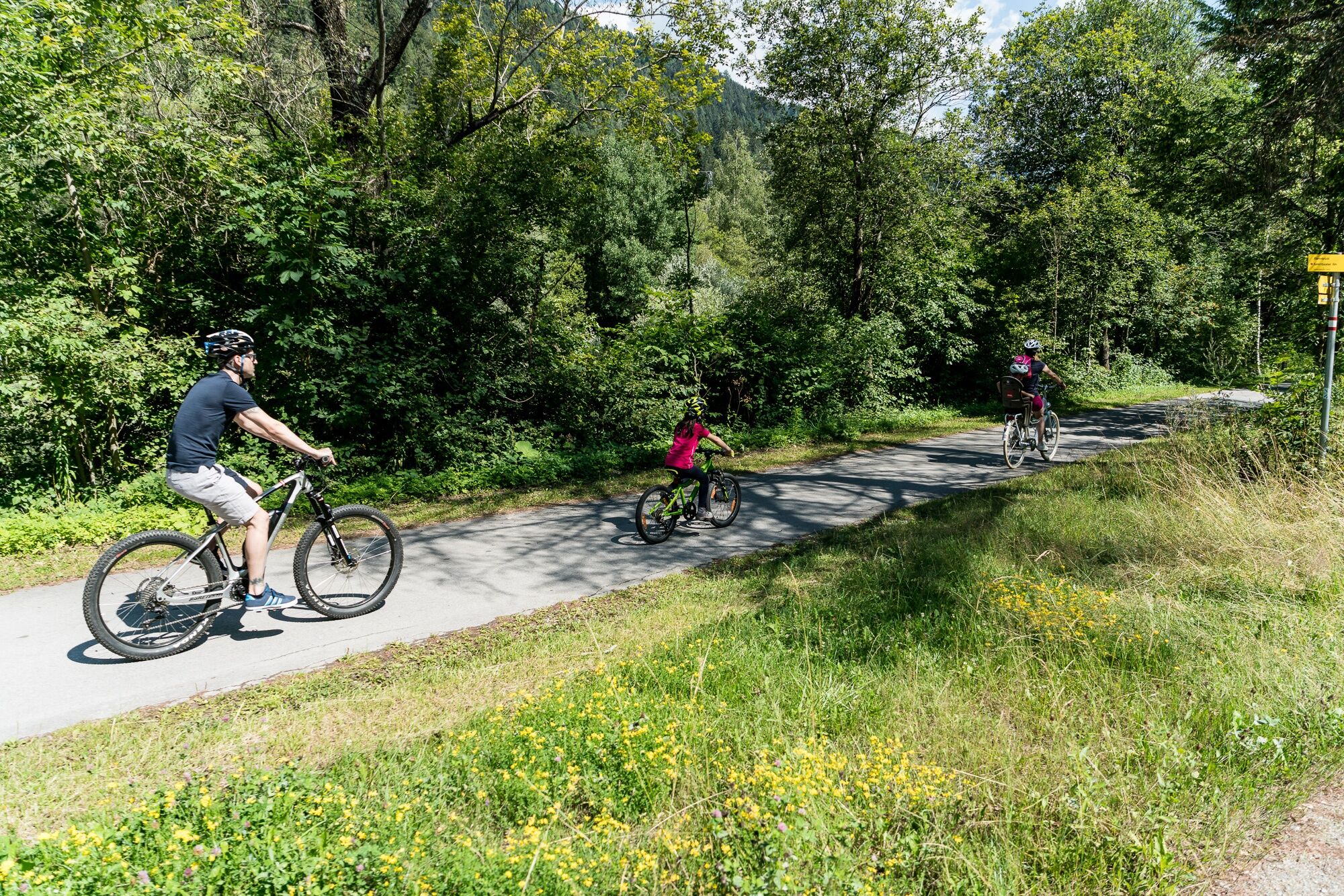

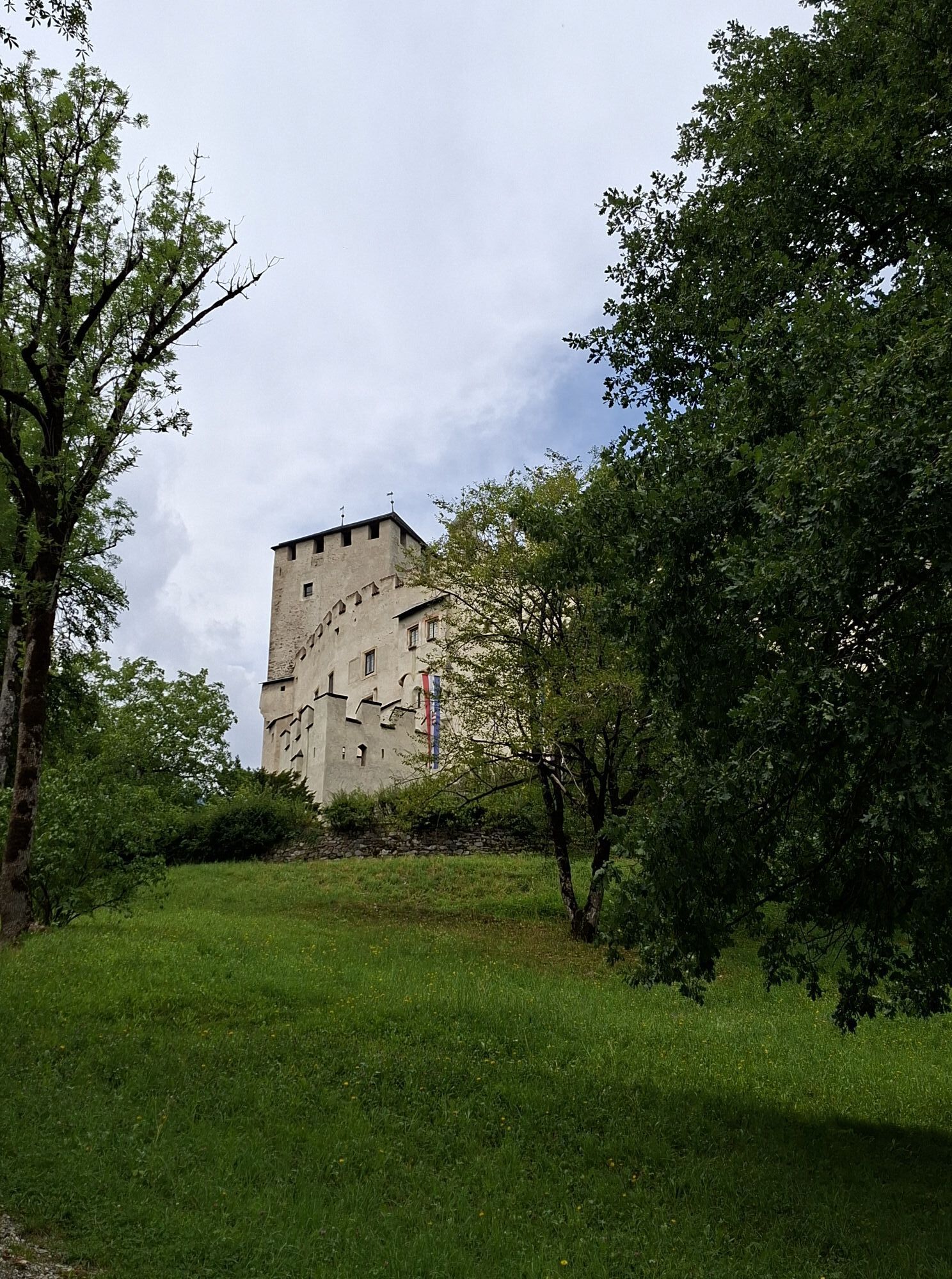
From Lienz to St. Johann im Walde (14 km) the route runs continuously on the asphalted bike path without incline. From St. Johann im Walde to Huben (6 km), the route leads over the old country road, past the ruins of Kienburg to Huben. From Huben to Feld (4 km) it then continues slightly uphill on a low-traffic country road. From Feld to Matrei (5 km), the bike path runs through a shady woodland area and then along the federal road to Matrei in East Tyrol, the main town of the Isel valley.
Tak
Hochsteinbahn parking lot
2
Es gibt auch die Möglichkeit, mit den Postbussen (Radtransport) von Lienz nach Matrei zu fahren und nur eine Strecke mit dem Fahrrad zurückzulegen.
Kamery internetowe z trasy
-
Hochsteinhütte
-
Zettersfeld /Obergaimberg
-
Lienz/Zettersfeld
-
Matrei in Osttirol
-
Lienz Hauptplatz
-
Tristachersee
-
Amlach - Naturrodelbahn Lienzer - Dolomiten
-
Matrei Bergstation Goldried
-
Matrei Bergstation Goldried
-
Berggasthaus Goldried
-
Adlerlounge - Cimaross
-
Lienz Faschingalm
-
Kalsertal
-
Dolomitenhütte
-
Matrei in Osttirol - Bethuberhof
-
Matrei in Osttirol / Strumerhof
-
Matrei in Osttirol

Popularne wycieczki w okolicy
-
4,8
Summit hike Rotenkogel 2,762m
ciężkiWędrówka 4,22 km -
4,8
Circular hike suspension bridge Isel Canyon via "Hohe Bank"
średniWędrówka 8,11 km -
4,6
Circular hike Proßeggklamm
średniWędrówka 8,41 km -
4,9
Figerhorn 2743m, Lucknerhaus
ciężkiWędrówka 6,69 km -
4,9
Glockner
średniWycieczka wysokogórska 19 km -
4,7
Glödis 3206m: PP Seichenbrunn, Lienzer Hütte, Glödis KS A/B
ciężkiWycieczka wysokogórska 16,1 km -
4,8
Adlerlounge Europapanoramaweg
średniWędrówka 6,86 km -
4,5
Böses Weibele, 3119m, Lucknerhaus
ciężkiWędrówka 13,8 km -
4,3
Lucknerhaus - Stüdlhütte
średniWędrówka 10,2 km -
4,7
1 Großglockner Normalweg von der Stüdlhütte (Tirol & Kärnten)
ciężkiWycieczka wysokogórska 8,17 km
Wędrówki i tropienie


Nie przegap ofert i inspiracji na następne wakacje
Twój adres e-mail została dodana do listy mailingowej.





