


Droga św. Jakuba etap 4 Berwang - Haldensee

JakubaTyrol-Allgäu
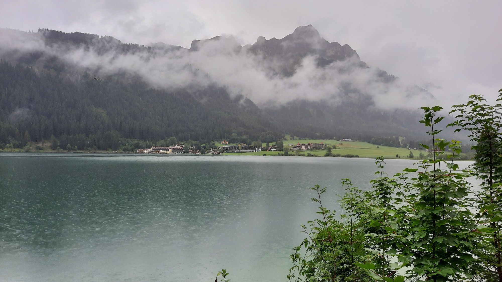
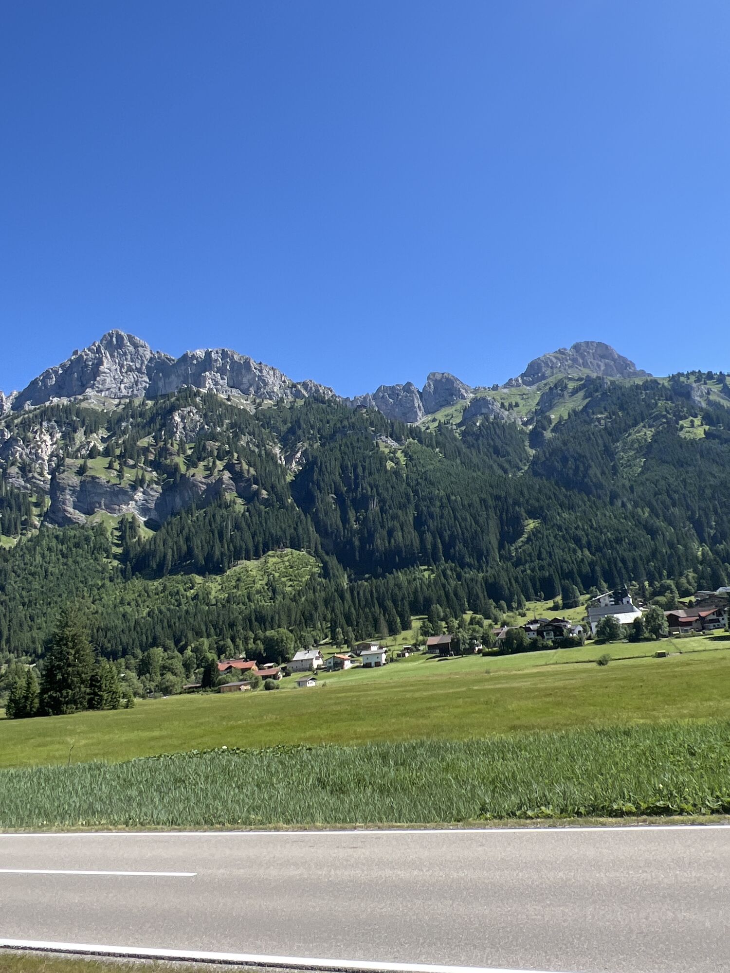
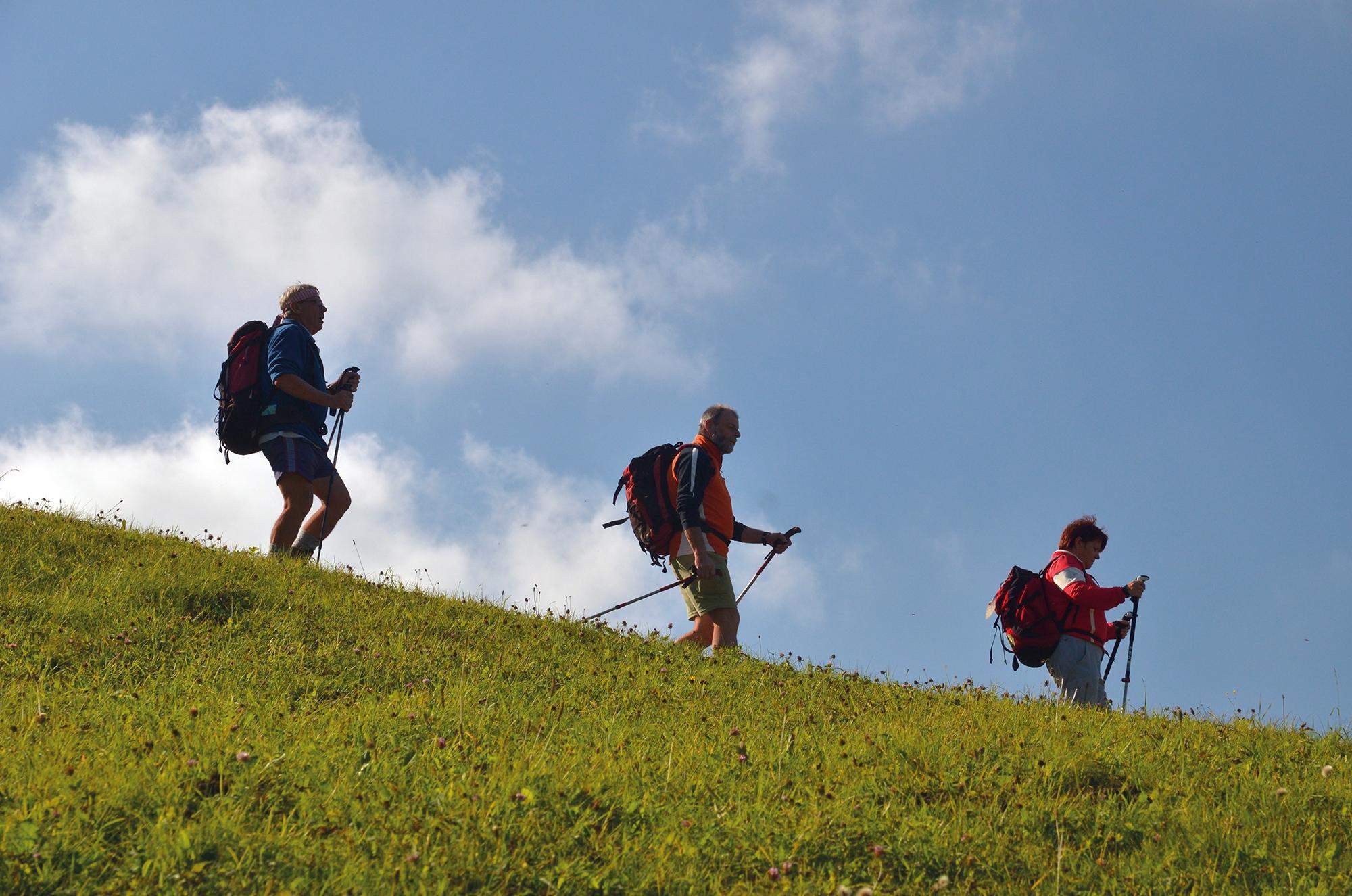
Alpejska Droga Świętego Jakuba, bardzo atrakcyjna zarówno pod względem krajobrazowym, jak i kulturowym, prowadzi z dala od głównych dróg przez trzy alpejskie przełęcze, a mianowicie
JakubaTyrol-Allgäu
Alpejska Droga ÅwiÄtego Jakuba, bardzo atrakcyjna zarówno pod wzglÄdem krajobrazowym, jak i kulturowym, prowadzi z dala od gÅównych dróg przez trzy alpejskie przeÅÄcze, a mianowicie
Fernpass, starÄ
Gaichtpass i Jochpass. Przecina jedne z najbardziej atrakcyjnych terenów turystycznych i wypoczynkowych w Tyrolu i poÅudniowym Oberallgäu na
starożytnych szlakach rzymskich, handlowych i pielgrzymkowych.
Pielgrzymi na Drodze Åw. Jakuba mogÄ
bez wÄ
tpienia spodziewaÄ siÄ tutaj szczególnie imponujÄ
cej trasy. Tym bardziej, że w wiÄkszoÅci wiedzie ona przez wiejskie i spokojne regiony górskie
, gdzie od wieków na ludzi gÅÄboko oddziaÅywaÅa wiara i strach przed siÅami natury. Dlatego też regiony te sÄ
szczególnie bogate w
koÅcioÅy i kaplice z licznymi pereÅkami artystyczno-historycznymi, czÄsto z bardzo różnych epok. W poÅÄ
czeniu ze wspaniaÅymi panoramicznymi widokami,
stale zmieniajÄ
cymi siÄ perspektywami i medytacyjnÄ
, choÄ czasami mÄczÄ
cÄ
wÄdrówkÄ
w wietrze i pogodzie przez te alpejskie naturalne krajobrazy
, to "camino" staje siÄ niezapomnianÄ
podróżÄ
, która angażuje wszystkie zmysÅy i jest bogata w intensywne doÅwiadczenia, spotkania i odkrycia - a byÄ może także
nowe spojrzenie na siebie.
Jakubaw Austrii i Niemczech
W Stams Tyrolsko-Algierska Droga Åw. Jakuba ÅÄ
czy siÄ z Niemiecko-AustriackÄ
DrogÄ
Åw. Jakuba z Monachium wzdÅuż rzek Isar, Loisach, Leutascher Ache i Inn, a także z
dwiema Austriackimi Drogami Åw. Jakuba, które ÅÄ
czÄ
siÄ w Innsbrucku: trasÄ
z Lofer/Salzburga do Innsbrucka i trasÄ
z Lienz do Innsbrucka.
Jakuba prowadzi dalej przez Stams na Arlberg lub ze Stams na szlak Tyrol-Allgäu.
PieczÄ
tka pielgrzyma i dowód tożsamoÅci pielgrzyma
WzdÅuż Drogi Åw. Jakuba w kaplicach i koÅcioÅach wymienionych w tekÅcie znajdujÄ
siÄ punkty stemplowania. Te pieczÄ
tki pielgrzyma stanowiÄ
miÅe przypomnienie w dzienniczku pielgrzyma
. W oficjalnie uznanym dowodzie tożsamoÅci pielgrzyma sÅużÄ
one jako dowód ukoÅczenia trasy. Jako oficjalny dokument, dowód tożsamoÅci pielgrzyma umożliwia również
nocleg w specjalnych kwaterach dla pielgrzymów, których na tej trasie jest wciÄ
ż niewiele. Jest on dostÄpny za opÅatÄ
od spoÅecznoÅci pielgrzymkowych
.


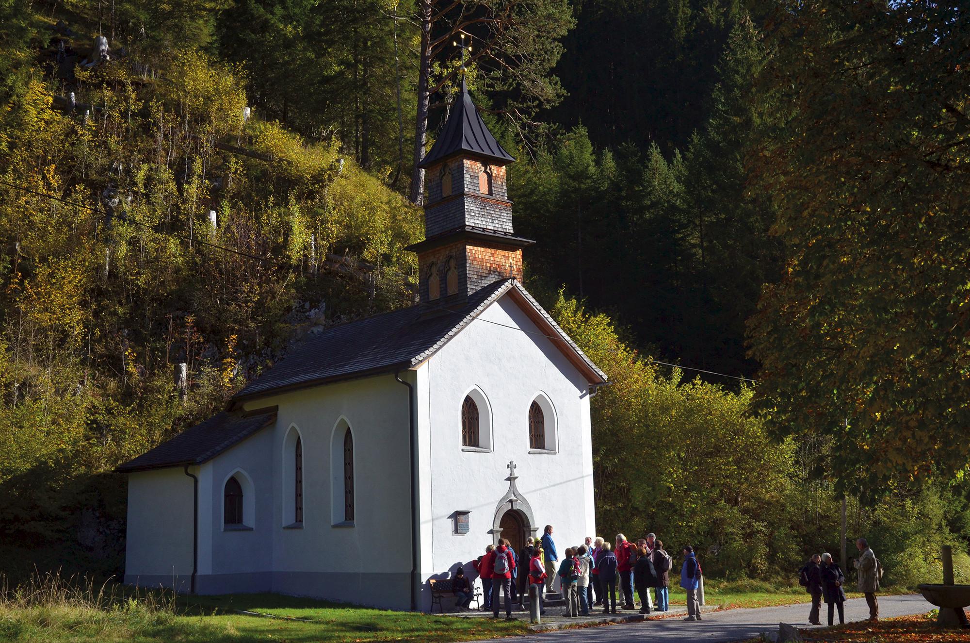


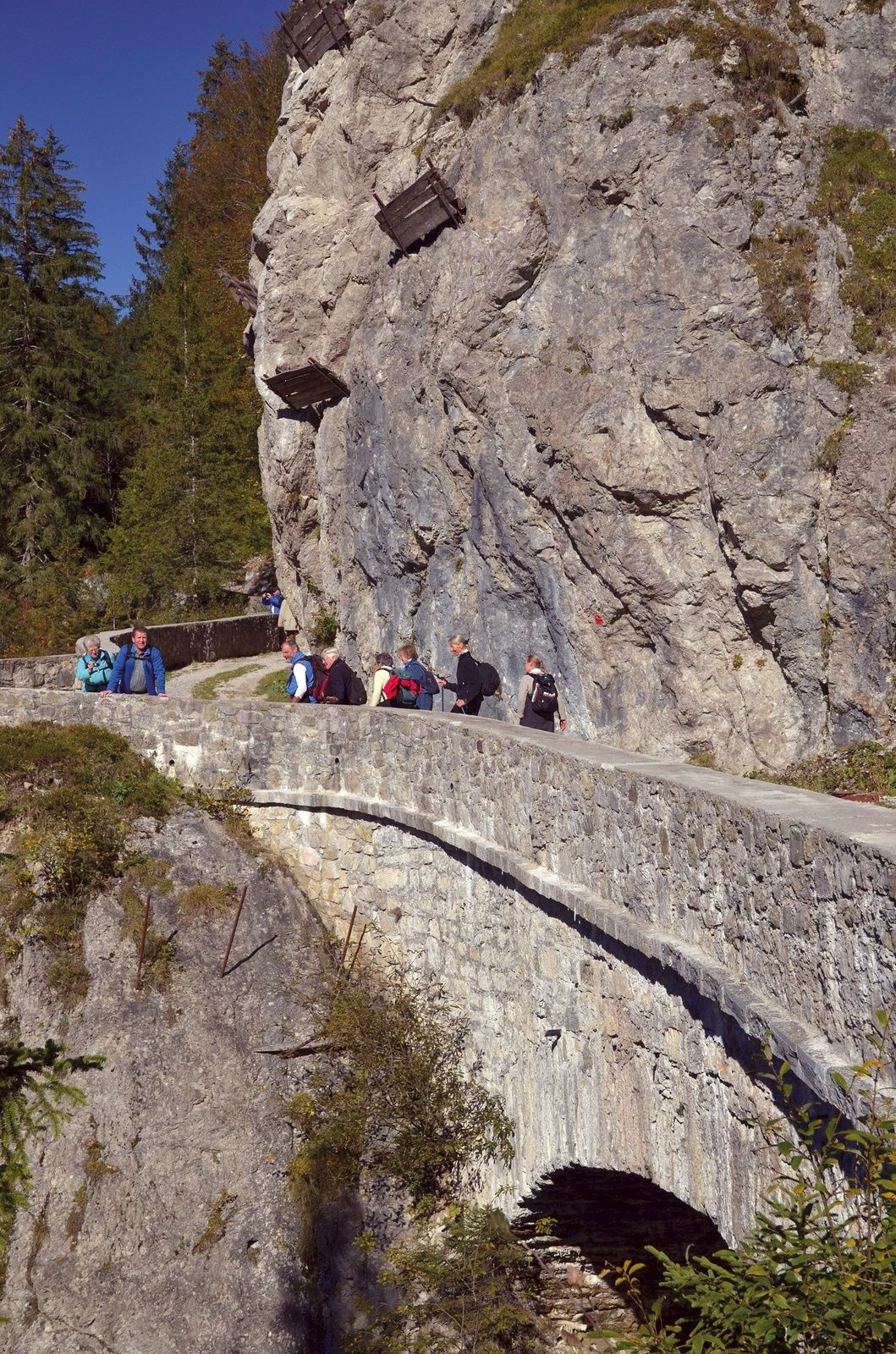

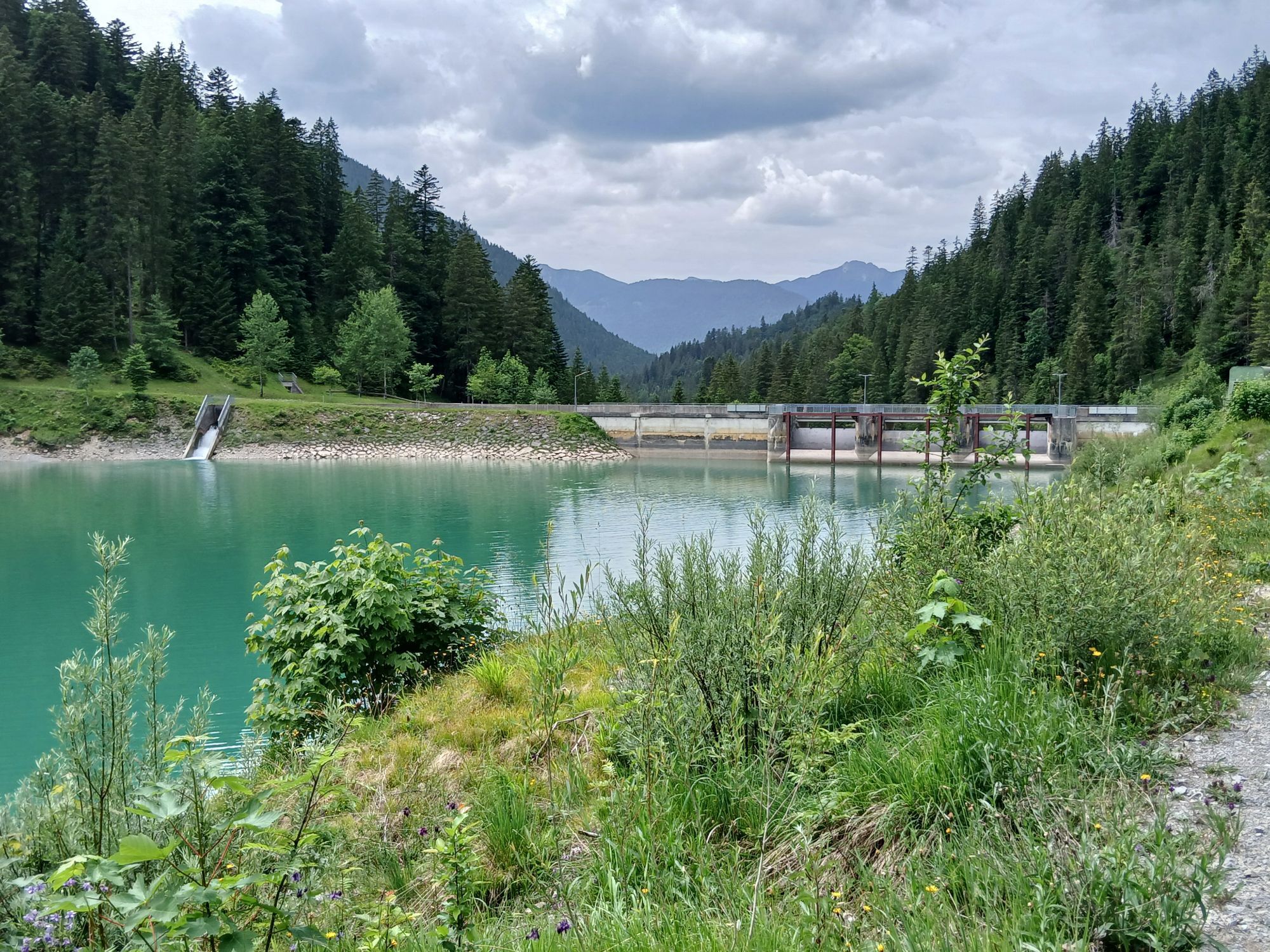
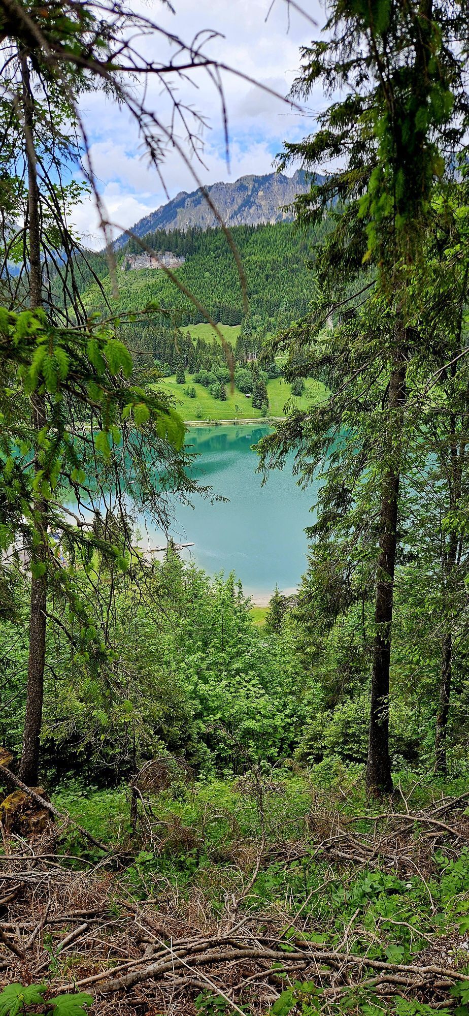
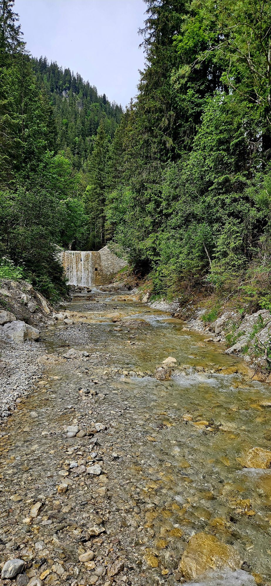
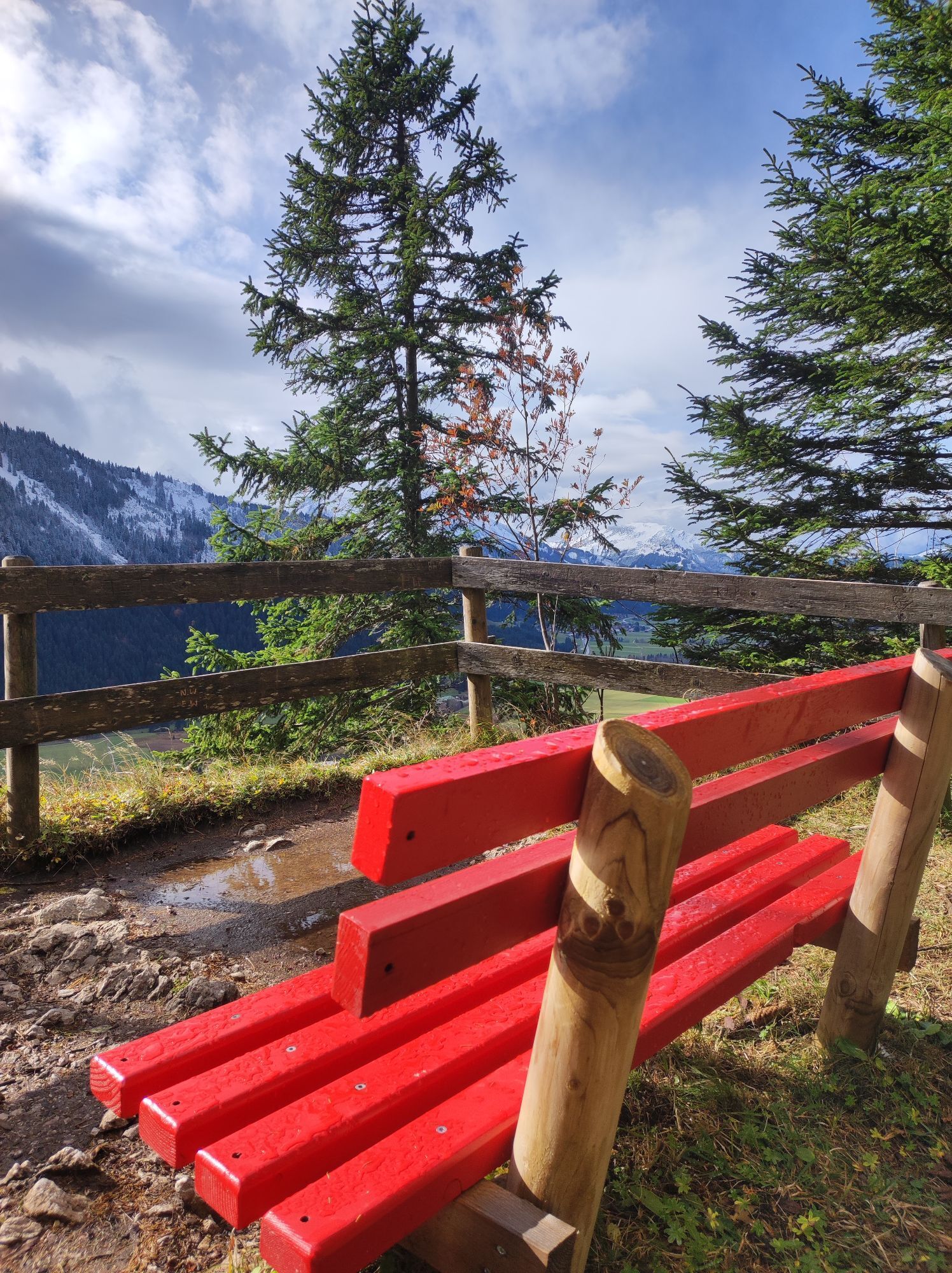
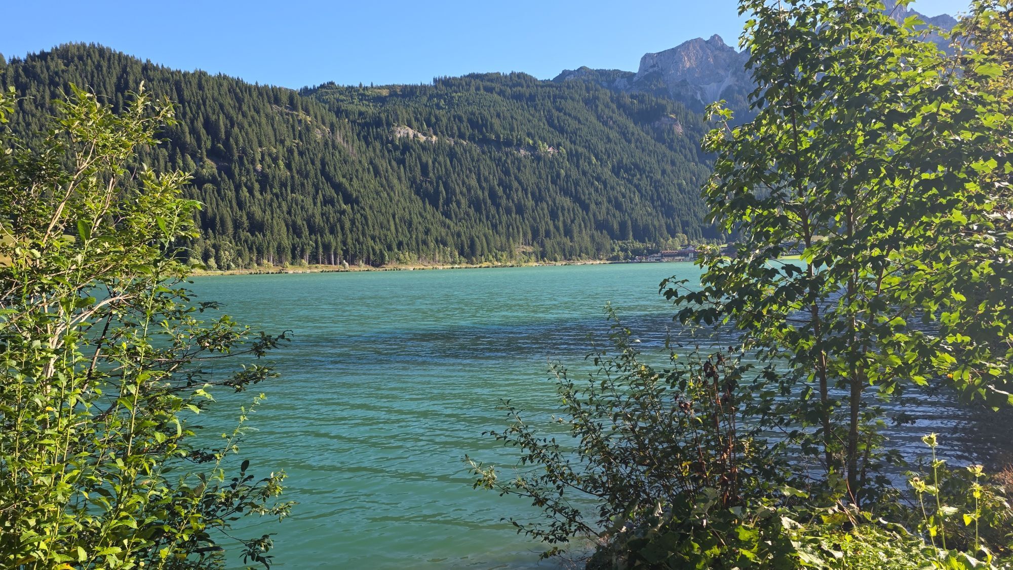
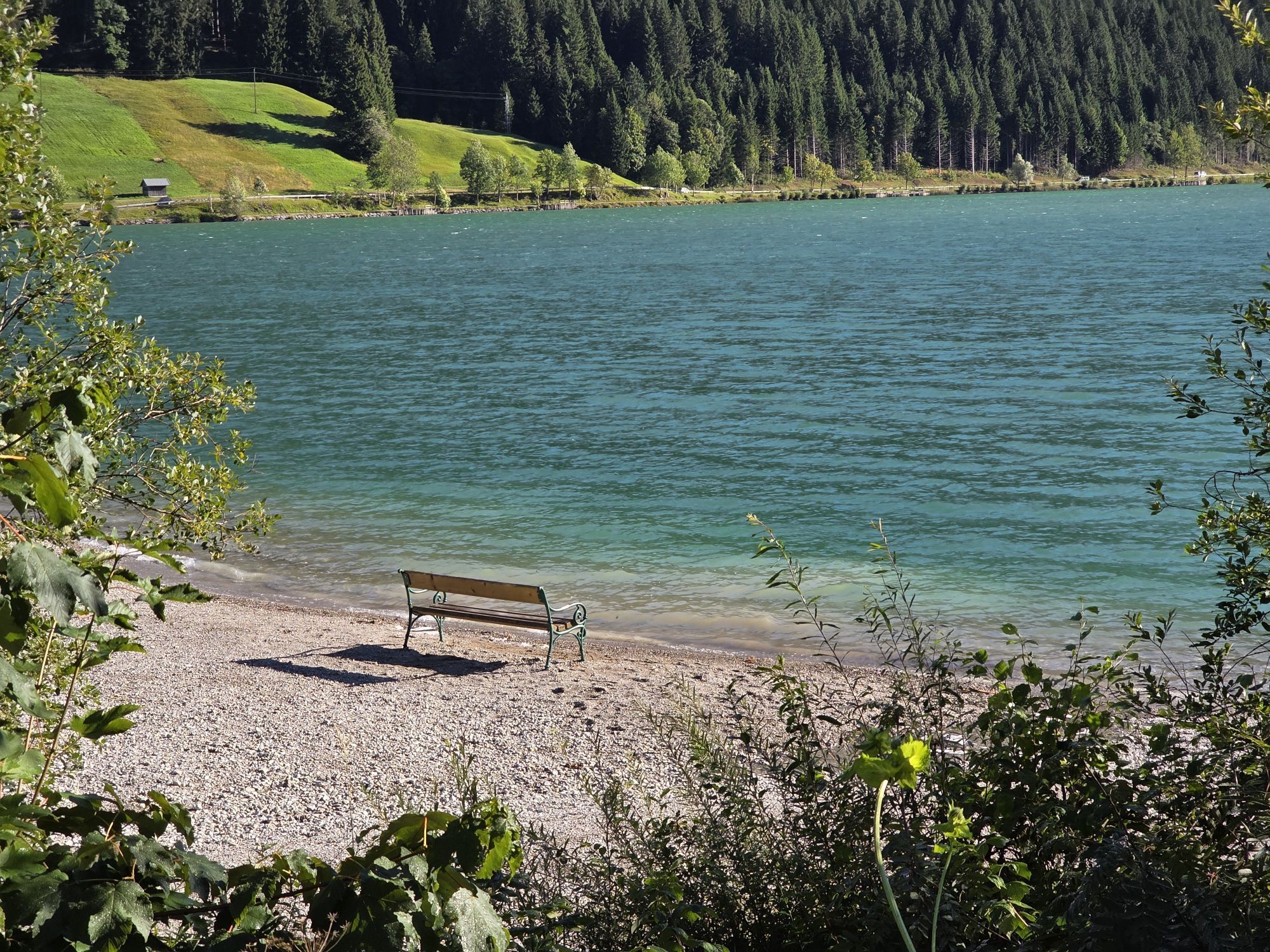
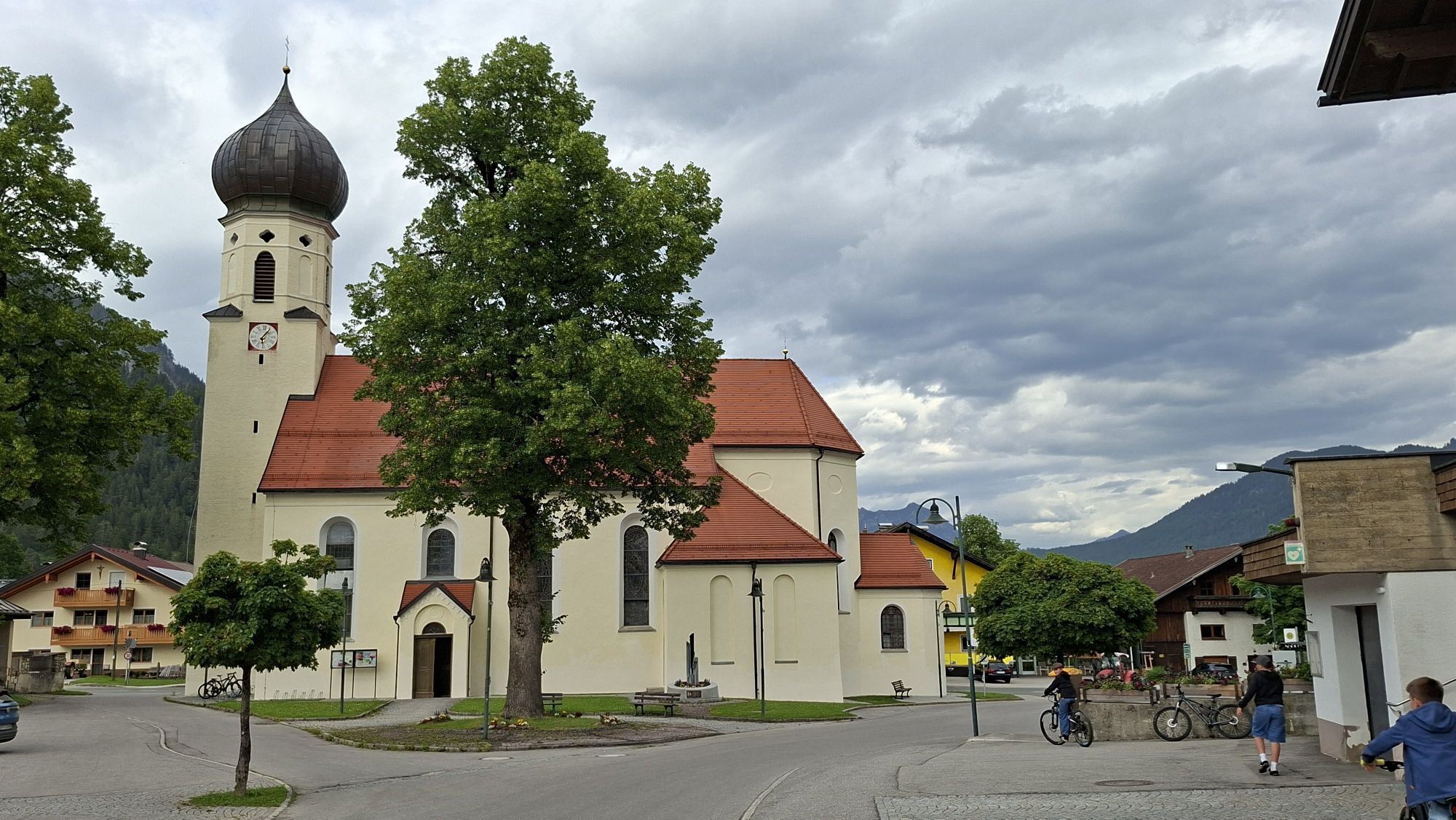
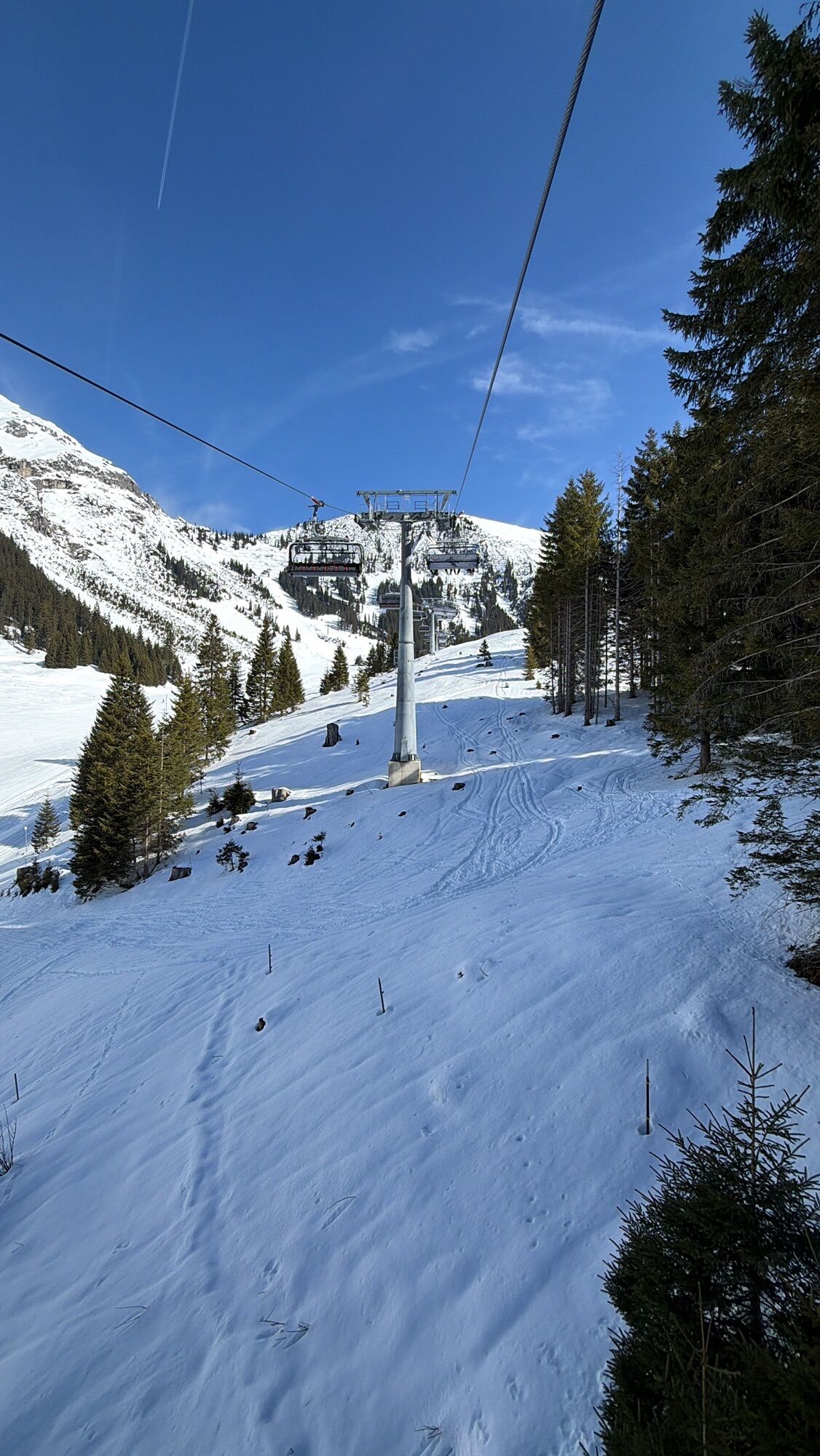
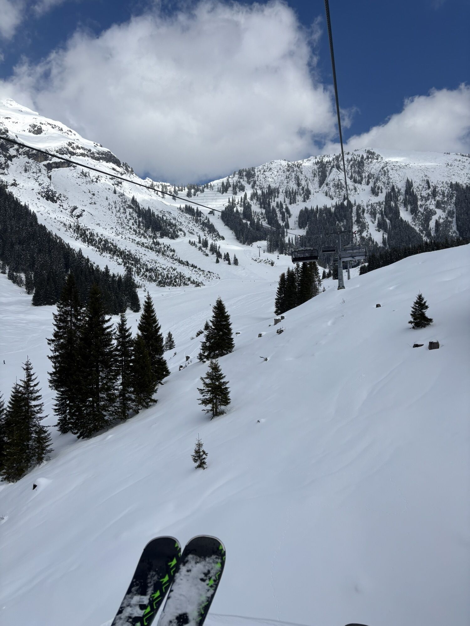
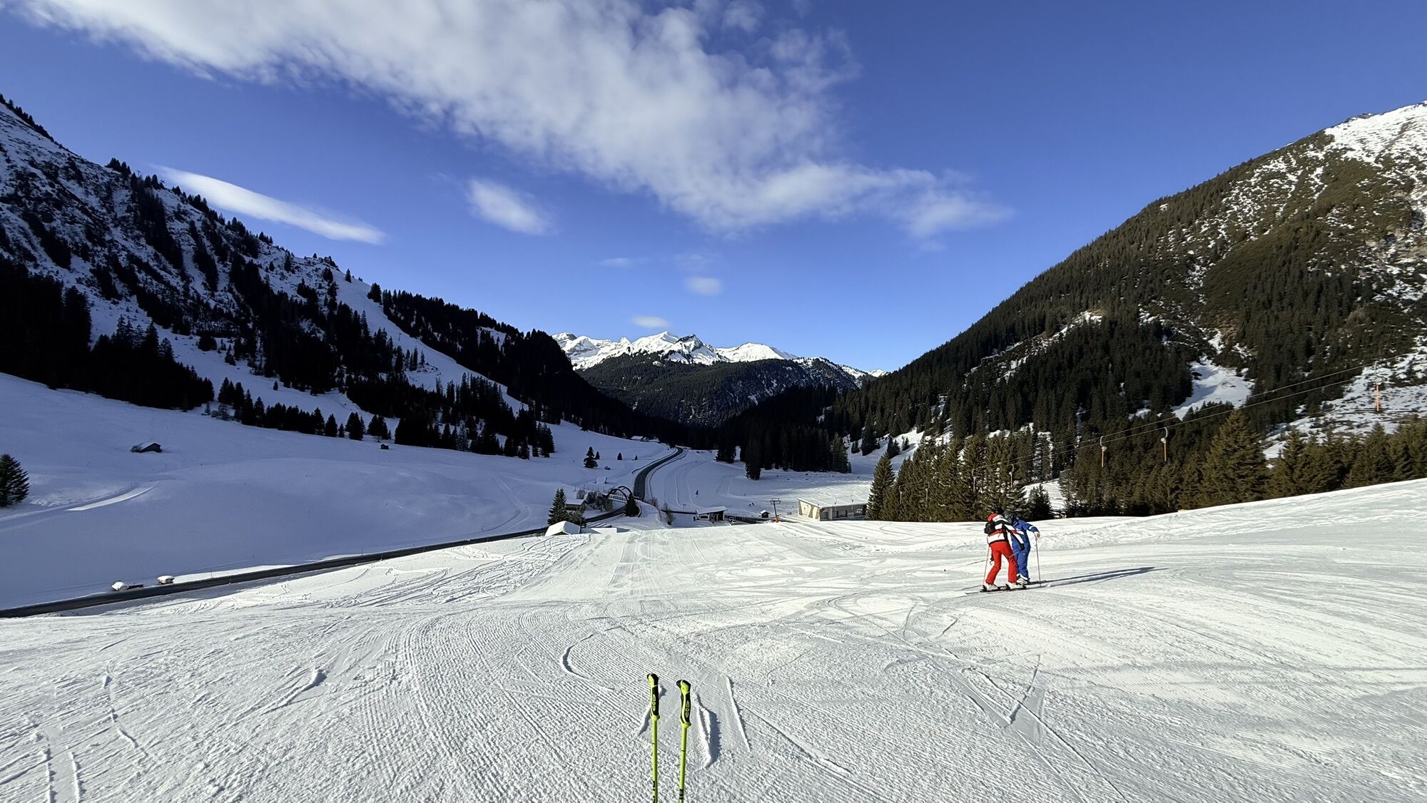
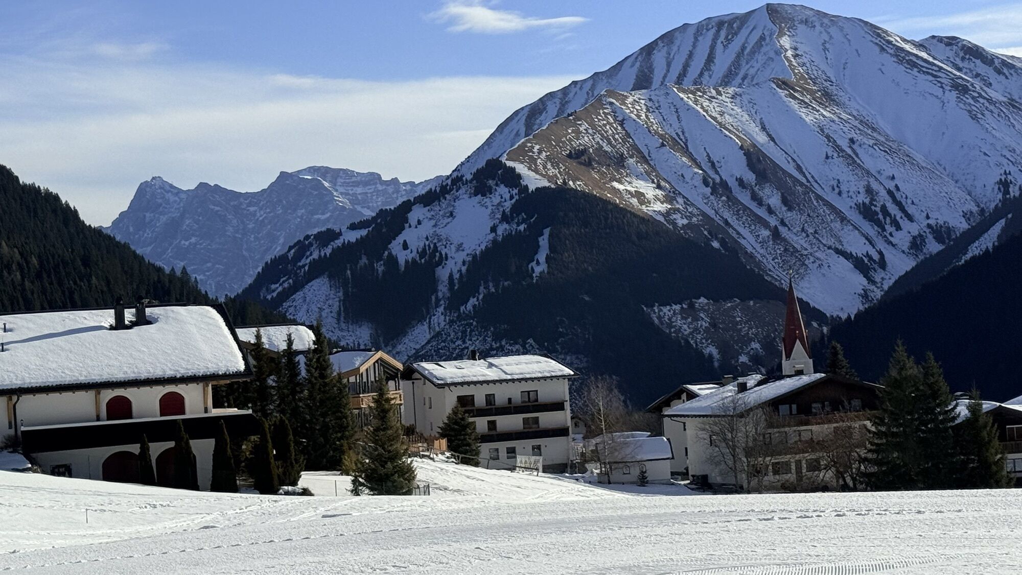
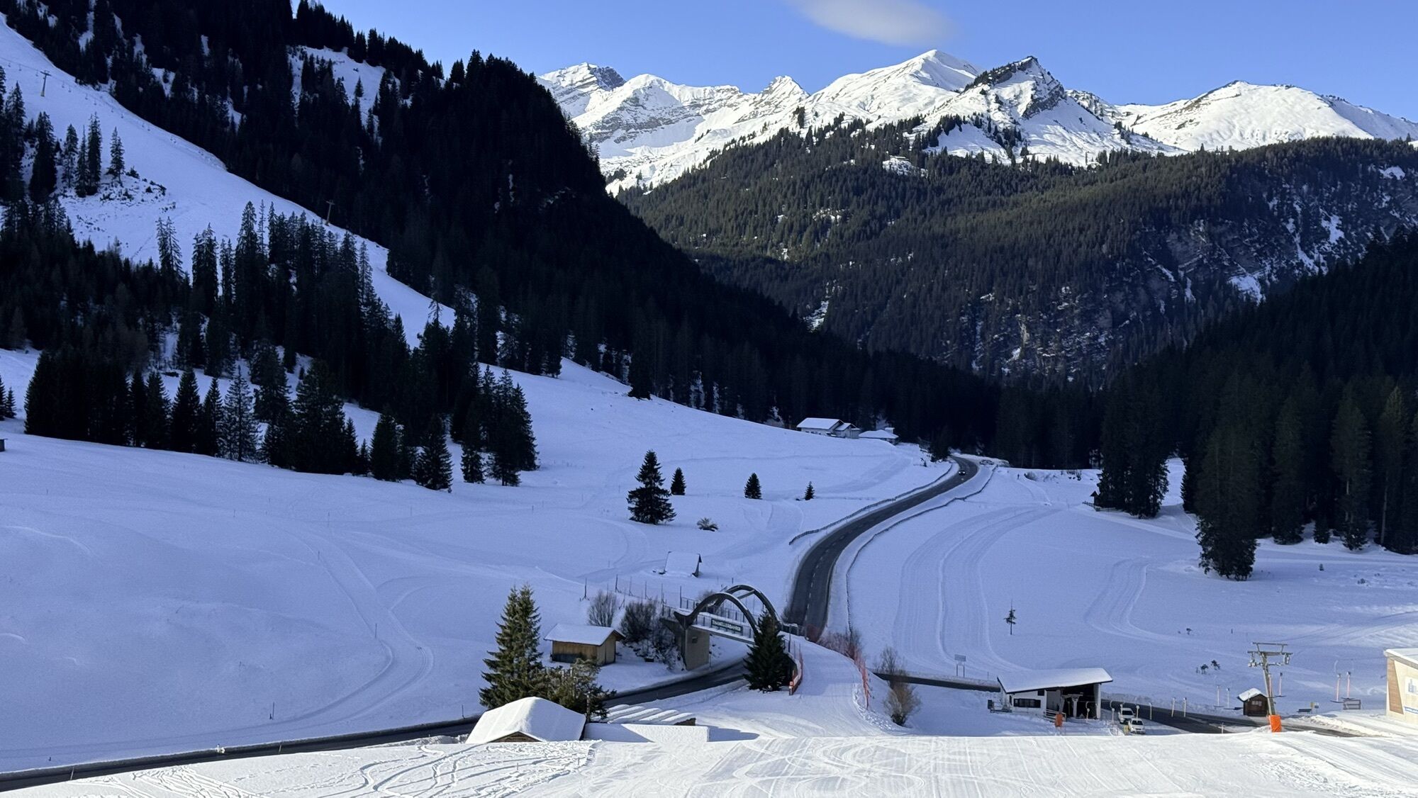
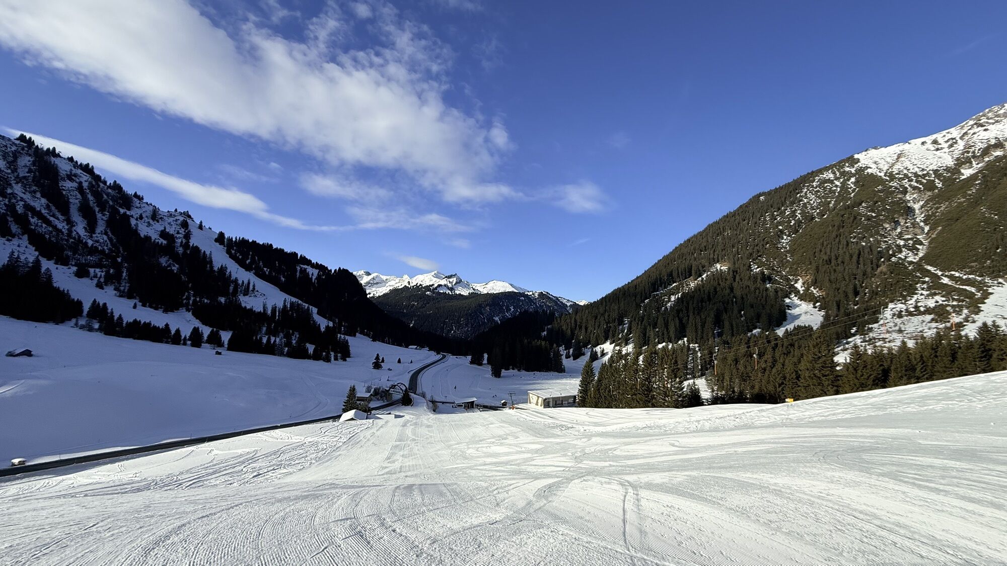
Jakuba należy skrÄciÄ w prawo w kierunku Rinnen, na koÅcu wioski równolegle do drogi przez ÅÄ ki w dóÅ do jeziora Moossee, dolnej stacji kolejki Thanellerkarlift i piÄknie odrestaurowanej kaplicy Sebastiana (XVII w.) w Rinnen. Dalej w dóÅ w kierunku Rieden. Na nastÄpnym rozwidleniu Åcieżek nie należy skrÄcaÄ w lewo (Rauth/wodospad), ale kontynuowaÄ prosto w dóÅ w kierunku Rieden. LeÅna Åcieżka prowadzi obok maÅego wodospadu, wzdÅuż zbiornika wodnego i stromo w dóÅ do rozwidlenia. Po lewej stronie bardzo stroma leÅna droga prowadzi bezpoÅrednio w dóÅ do Rieden, Åcieżka dla pielgrzymów podÄ Å¼a górskÄ trasÄ rowerowÄ szerokim zakrÄtem w prawo w dóÅ do jeziora Rieden i wioski z piÄknÄ kaplicÄ . Dalej oznakowanym szlakiem turystycznym w kierunku Weißenbach, w koÅcu do gÅównej drogi i przez most Lech do Weißenbach, które jest idealnym miejscem na postój, zakupy i nocleg. Punkt stemplowania przy urzÄdzie gminy. Jakuba prowadzi od mostu wzdÅuż Weißenbach w kierunku starej drogi Gaichtpass do piÄknej kaplicy Mariahilf (1714) pod Gaicht, która do dziÅ jest popularnym celem pielgrzymek. ZostaÅa ona powiÄkszona w 1860 r. na koszt wÅaÅciciela gospody Johanna Martina Lutza z Gasthaus Post. Ostatnia kompletna renowacja zostaÅa zakoÅczona w 2002 roku. Stary szlak handlowy do przeÅÄczy Gaicht, wyposażony w interesujÄ ce tablice informacyjne, wije siÄ pod górÄ przez misternie odrestaurowane Åukowe mosty, przecina raz nowÄ drogÄ przeÅÄczy i prowadzi do wioski Gaicht (1117 m) w Tannheimer Tal z kaplicÄ "Maria Heimsuchung", zbudowanÄ w 1695 roku w miejsce gotyckiej kaplicy. W Gaicht znajduje siÄ również najstarszy dom w Tannheimer Tal. PodÄ Å¼ajÄ c ÅcieżkÄ dla pielgrzymów w kierunku Nesselwängle, można dotrzeÄ do skÅadu drewna/parkingu samochodowego (Schneetal) przez przejÅcie podziemne gÅównej drogi do Åcieżki rowerowej/pieszej Tannheimer Tal po lewej stronie Nesselwängler Ache, a tym samym dotrzeÄ do dolnej stacji wyciÄ gu Krinnenalplift (Schmitte) z punktami gastronomicznymi. JeÅli udasz siÄ do centrum Nesselwängle, aby zatrzymaÄ siÄ na posiÅek i odwiedziÄ kaplicÄ Åw. Antoniusa, później dotrzesz do wyciÄ gu Krinnenalplift przez Mühlenweg i Jakobsweg. Szlak prowadzi najpierw przez ÅÄ ki, a nastÄpnie wzdÅuż brzegu jeziora Haldensee do koÅca jeziora. Tam idzie siÄ prosto przed lido i parkingiem, mijajÄ c catering Tauscher's Alm i dalej do Haldensee. MaÅa kaplica Jakobskapelle (miejsce na pieczÄ tkÄ), zbudowana w 1642 roku, stoi w centrum wioski od 1703 roku.
Tak
Osobisty sprzÄt pielgrzymkowy musi byÄ bezpieczny, odpowiedni do celu i speÅniaÄ odpowiednie normy techniczne. Plecak nie powinien przekraczaÄ wagi 15
kg. Każdemu pielgrzymowi zaleca siÄ uzyskanie szczegóÅowych informacji i przygotowaÅ z literatury specjalistycznej lub Internetu.
Należy zauważyÄ, że na szlakach pielgrzymkowych istnieje zwiÄkszone ryzyko wypadków i obrażeÅ. Pomimo starannego planowania wycieczki, zawsze istnieje podstawowe ryzyko
. Przygotowanie do wycieczki poprzez uprawianie sportów wytrzymaÅoÅciowych, odpowiedni trening techniczny i przygotowanie psychiczne minimalizuje ryzyko wypadków i zagrożeÅ.
Należy jednak pamiÄtaÄ, że pogoda w górach może zmieniaÄ siÄ bardzo szybko.
Autostradą A7 przez Kempten do Reutte, przez Heiterwang i Bichlbach do Berwang. Z Salzburga/Wiednia lub Włoch autostradą Inntal przez Innsbruck do Telfs, a następnie przez Fernpass, Lermoos i Bichlbach do Berwang. Z Arlberg, St. Moritz lub Meran przez Landeck, Imst, Fernpass, Lermoos i Bichlbach do miejsca docelowego etapu.
Parkingi publiczne w Berwang - częściowo z kosztami
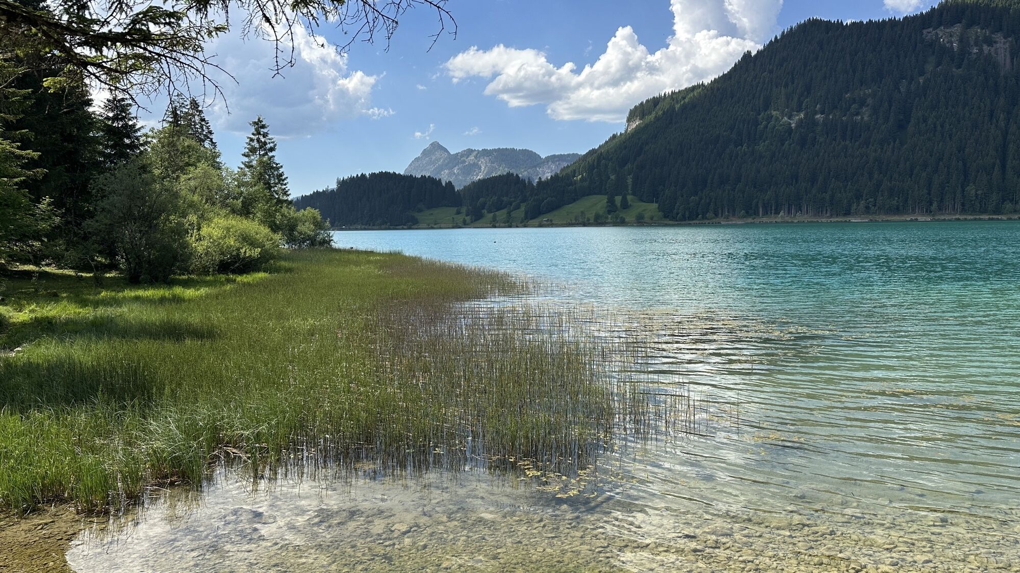
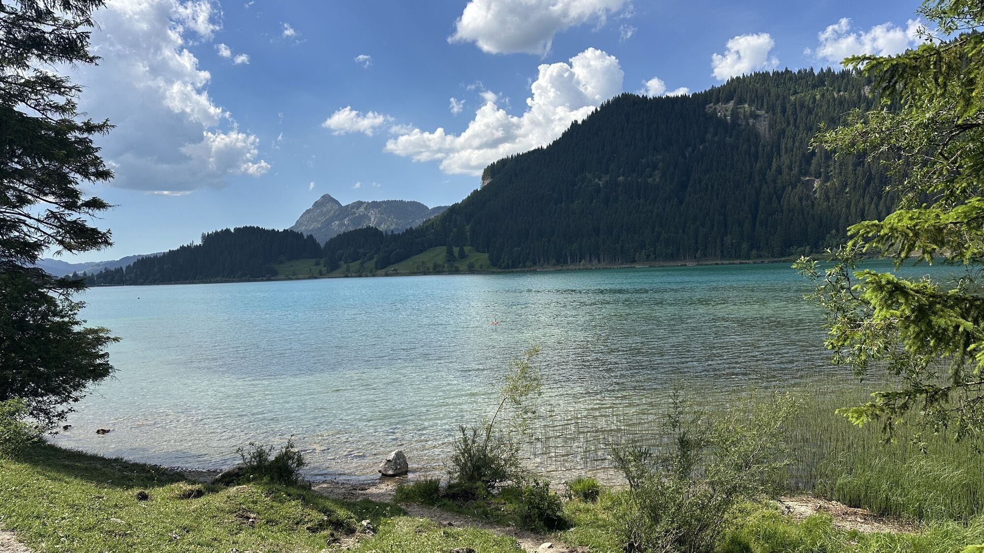
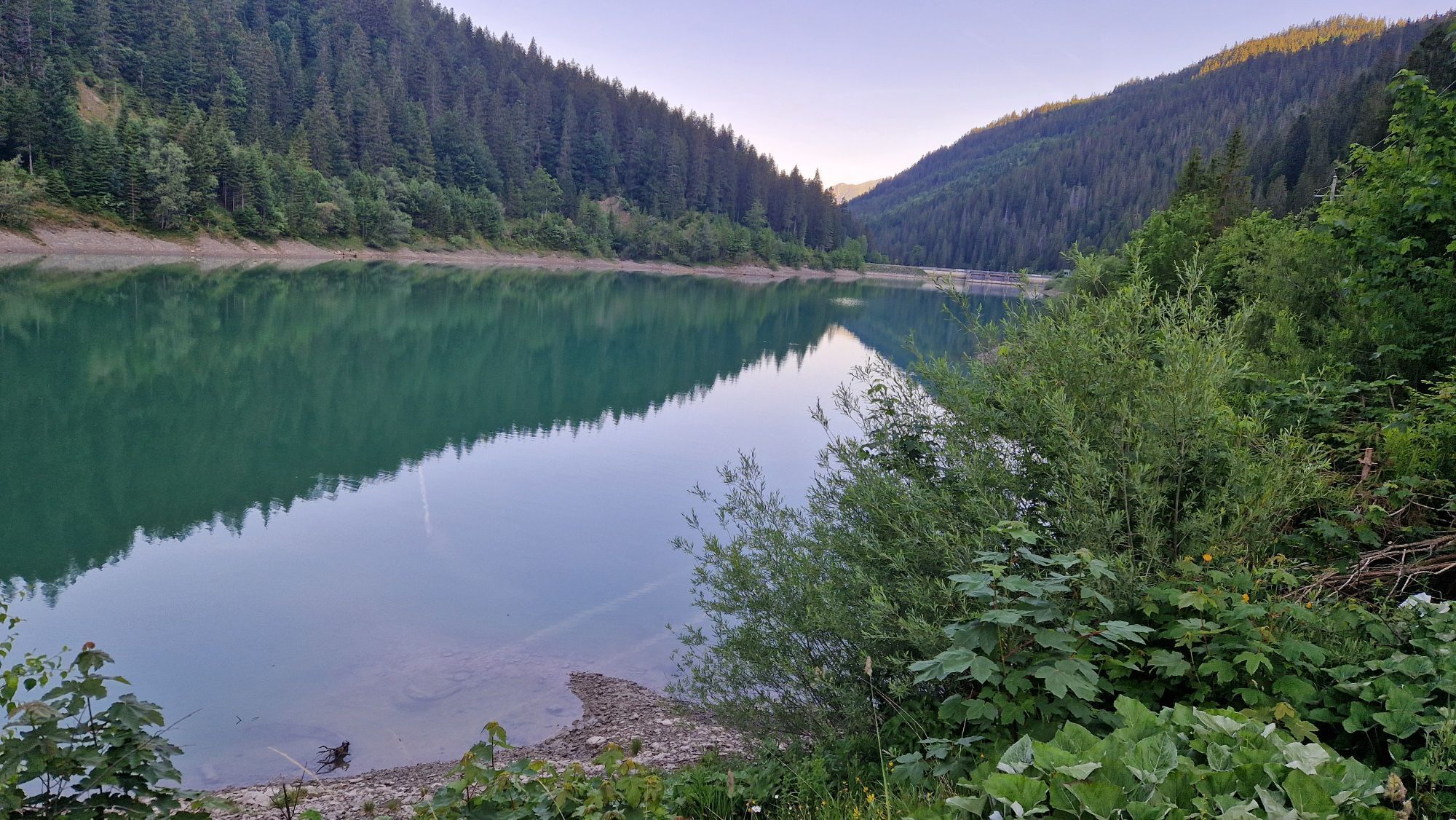
Kaplice w Rinnen, Rieden, Weißenbach i Gaicht. Jezioro Rieden, odkryty basen w Weißenbach, odkryty basen w Haldensee, kaplica Jakobskapelle w Haldensee. WyjÄ
tkowy hotel
"Liebes Rot Flüh", w którym wieczorem można zjeÅÄ posiÅek przy dźwiÄkach grzmotów i potoków.
Kamery internetowe z trasy
-
Sonnalmbahn
-
Tannheim
-
Höfen Flugplatz
-
Höfen Flugplatz
-
Neunerköpfle Mittelstation
-
Haldensee - Neunerköpfle
-
Wängle - Panoramahotel Talhof
-
Weißenbach - Hotel Florence
-
Grän - Almdorf Tirol
-
Egghof Sunjet
-
Egghof Sunjet
-
Egghof Sunjet
-
Egghof Sunjet
-
Egghof Sunjet
-
Egghof Sunjet
-
Egghof Sunjet
-
Panoramarestaurant Hahnenkamm
-
Sonnalmbahn
-
Sonnalmbahn
-
Sonnalmbahn
-
Sonnalmbahn
-
Grän - Hotel Bergblick
-
Füssener Jöchle Bergstation
-
Füssener Jöchle Bergstation
-
Füssener Jöchle Bergstation
-
Füssener Jöchle Bergstation
-
Füssener Jöchle Bergstation
-
Tannheimertal
-
Thanellerbahn
-
Füssener Jöchle Bergstation
-
Füssener Jöchle Bergstation
-
Haller
-
Haller
-
Gundhütte - Tannheimertal
-
Höfen Flugplatz
-
Höfen Flugplatz
-
Höfen Flugplatz
-
Höfen Flugplatz
-
Talstation Neunerköpfle - Tannheim
-
Obere Karbahn
Popularne wycieczki w okolicy
-
4,8
Thaneller
średniWędrówka 4,90 km -
4,8
Around Weißensee
światłoWędrówka 6,12 km -
5,0
Gemeinde Grän, Tirol/Österreich Aggenstein Rundtour über Höhenweg
średniWędrówka 9,84 km -
4,4
Rundwanderung Stuibenfälle
średniWędrówka 3,92 km -
4,9
Tannheim / Vilsalpsee / Landsberger Hütte
średniWędrówka 15,7 km -
4,2
Three-lake route (awarded the Tyrolean Hiking Trail Seal of Quality)
średniWędrówka 14,8 km -
3,6
Rundwanderung Plansee
średniWędrówka 9,80 km -
4,7
Hönig over the Älplestal-valley
średniWędrówka 11,6 km -
4,6
3-Seen Rundtour Vilsalpsee / Schrecksee / Traualpsee
średniWędrówka 17,1 km -
4,3
Schloß Neuschwanstein und Schwanensee Schwangau, Bayern
średniWędrówka 9 km
Wędrówki i tropienie


Nie przegap ofert i inspiracji na następne wakacje
Twój adres e-mail została dodana do listy mailingowej.