






Adlerhorst route
Poziom trudności: 3
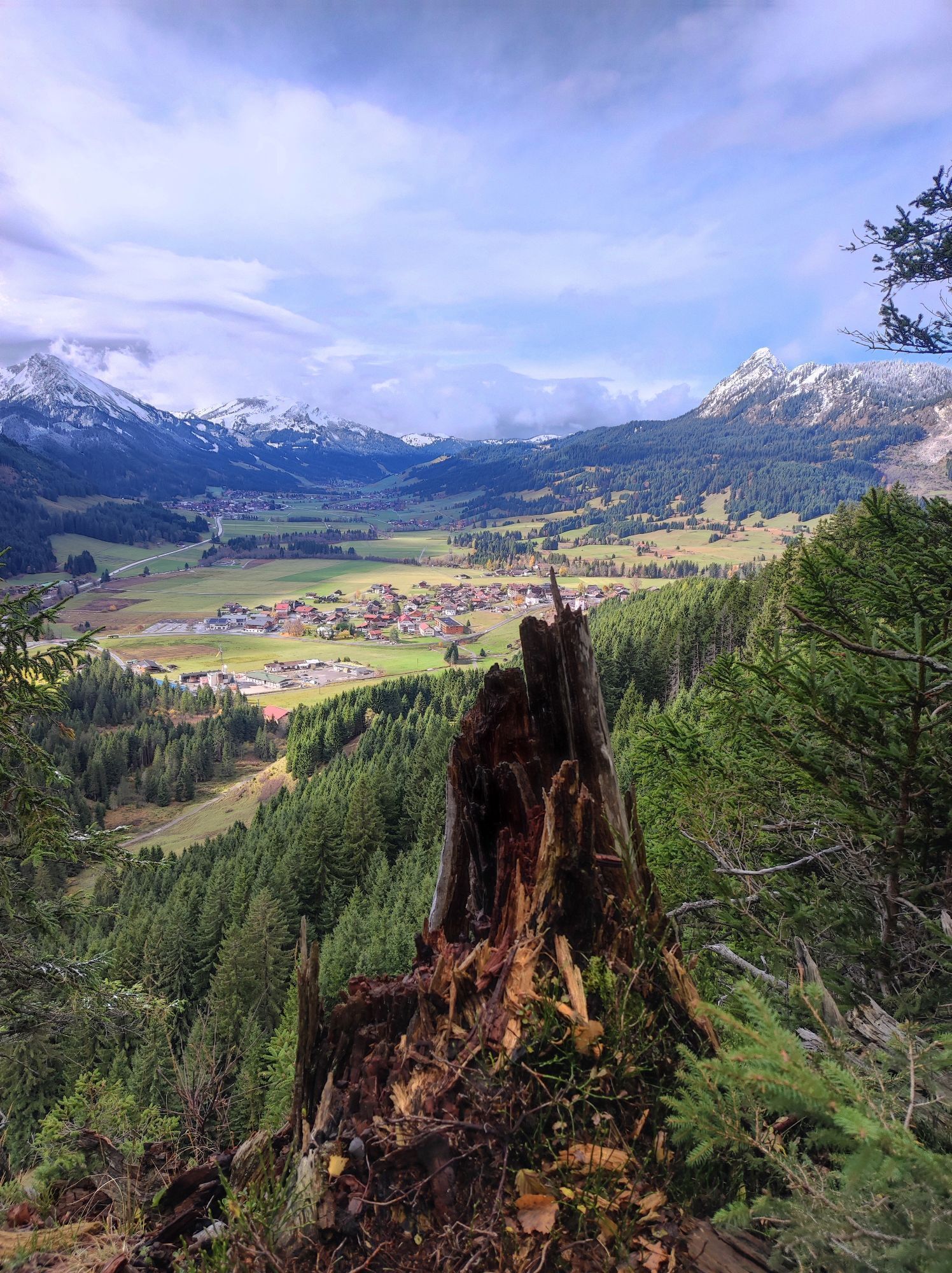
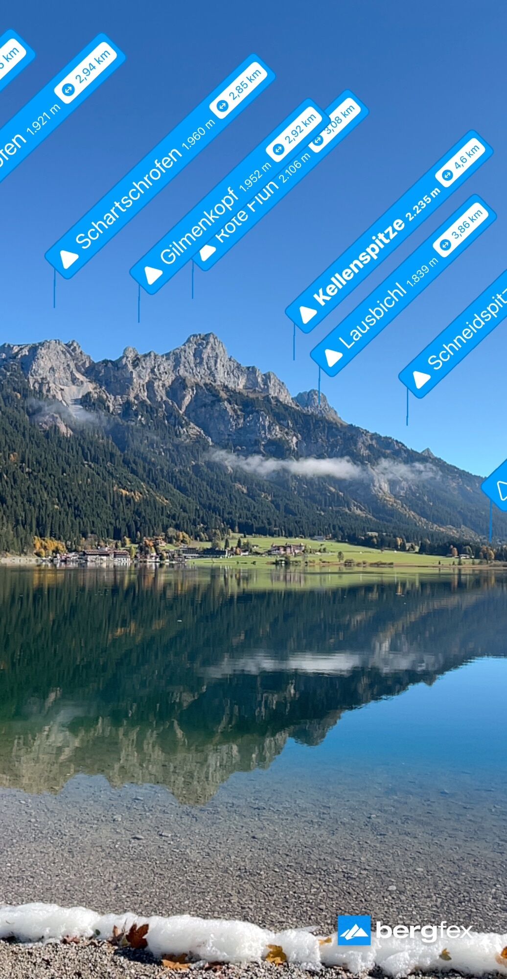
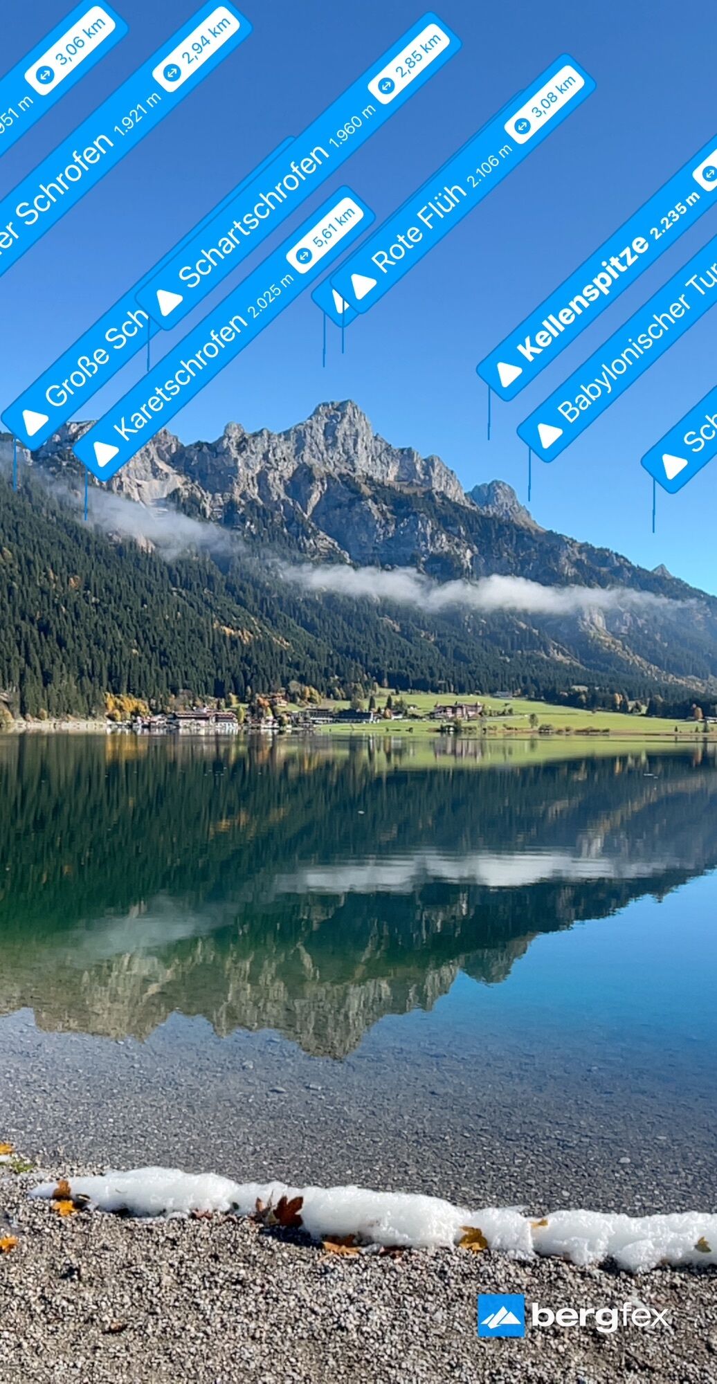
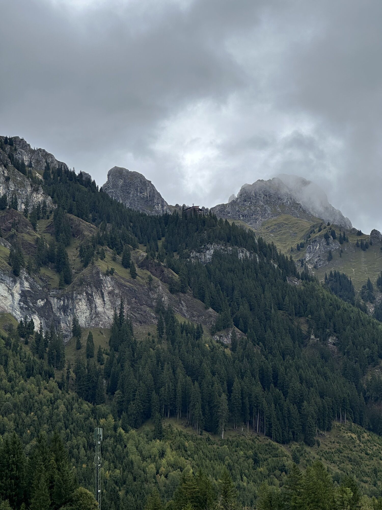
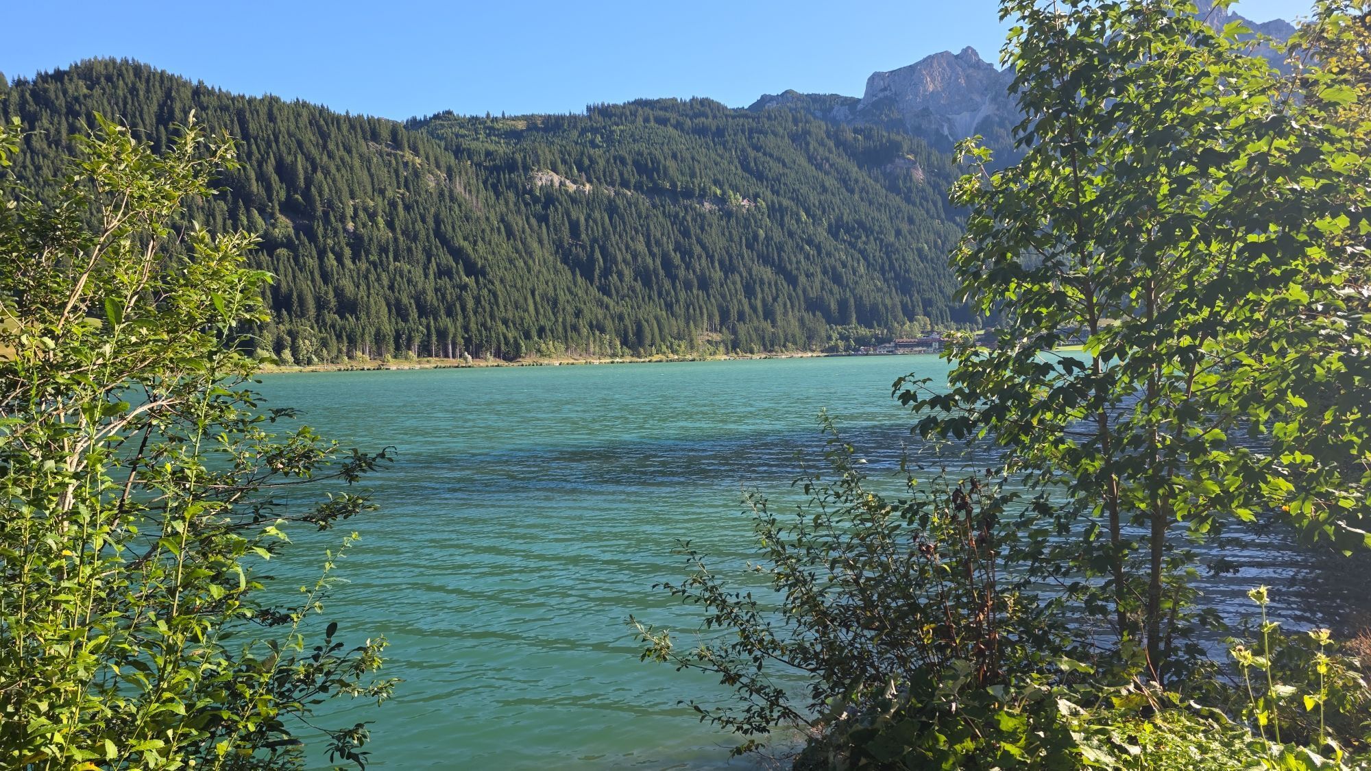
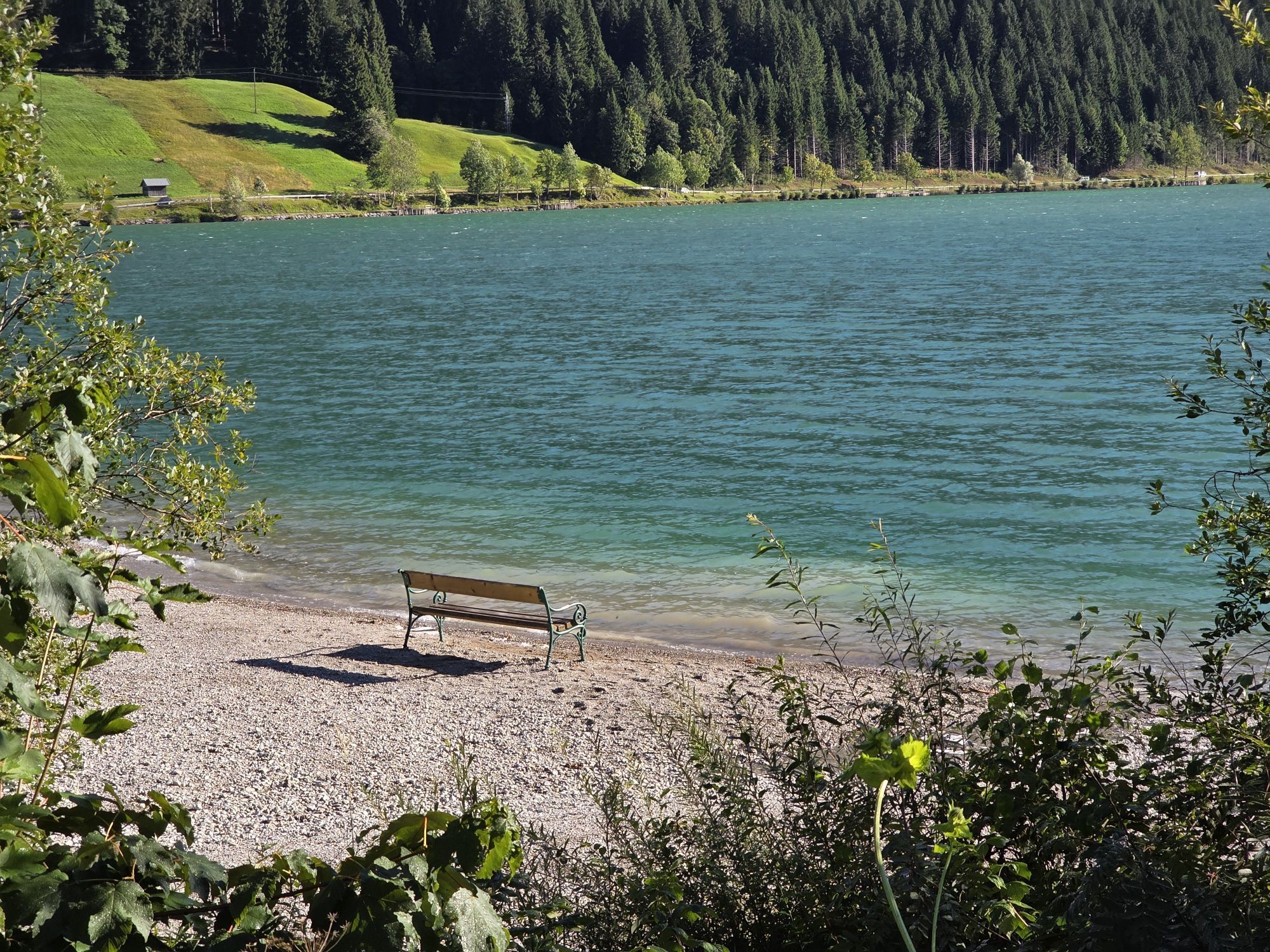
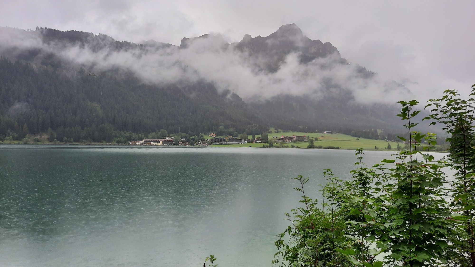
Experience the Running and Nordic Walking Arena Tannheimer Tal
Whether breathless beginner or well-trained mountain athlete: In the Tannheimer Tal, everyone who enjoys fresh air and exploring the surrounding...
Experience the Running and Nordic Walking Arena Tannheimer Tal
Whether breathless beginner or well-trained mountain athlete: In the Tannheimer Tal, everyone who enjoys fresh air and exploring the surrounding mountains on foot gets their money’s worth. Every day, everyone active, from hobby athletes to professionals, faces a tough choice: Tyrol’s largest network of trails offers 26 marked routes spanning a total of 186 kilometers. There are beginner loops as well as challenging mountain runs. To ensure all guests know which path suits their fitness and requirements, a specially developed map and small signs provide information about the altitude profile, difficulty level, and length of the route – the Running and Nordic Walking map.
Along meadows, over green alpine pastures, past sparkling mountain lakes... Walking and running in the Tannheimer Tal is not only the best training for the body but also balm for the soul. The starting points for all movement enthusiasts are located in the six villages of Tannheim, Grän- Haldensee, Nesselwängle- Haller, Zöblen, Schattwald, and Jungholz. From here, walkers, Nordic walkers, and runners follow the signposts, which are easy to recognize by the figures with poles. Additionally, all routes, like ski runs, are classified into black, red, and blue categories. An optimal marking system that contributed, among other things, to the fact that this arguably most beautiful high valley in Europe has been officially called the "Running and Walking Competence Center" since 2005.

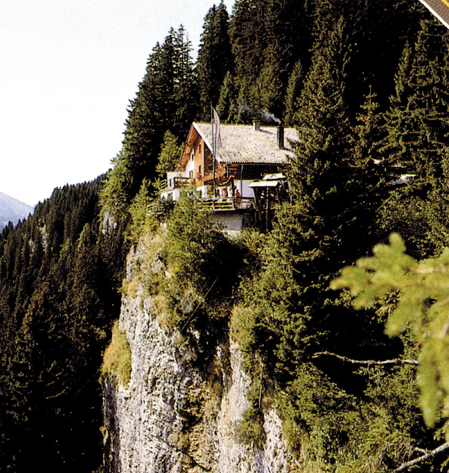
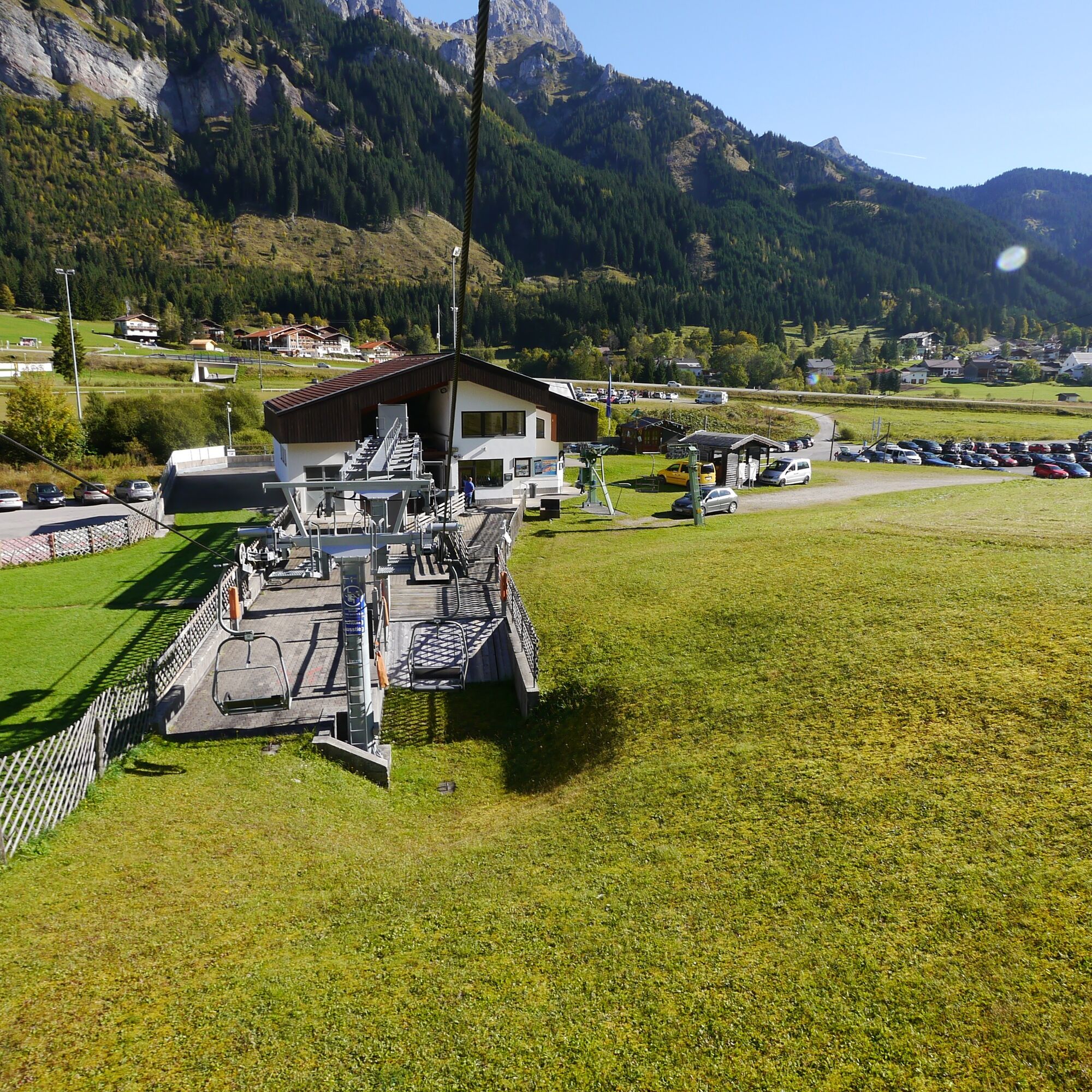
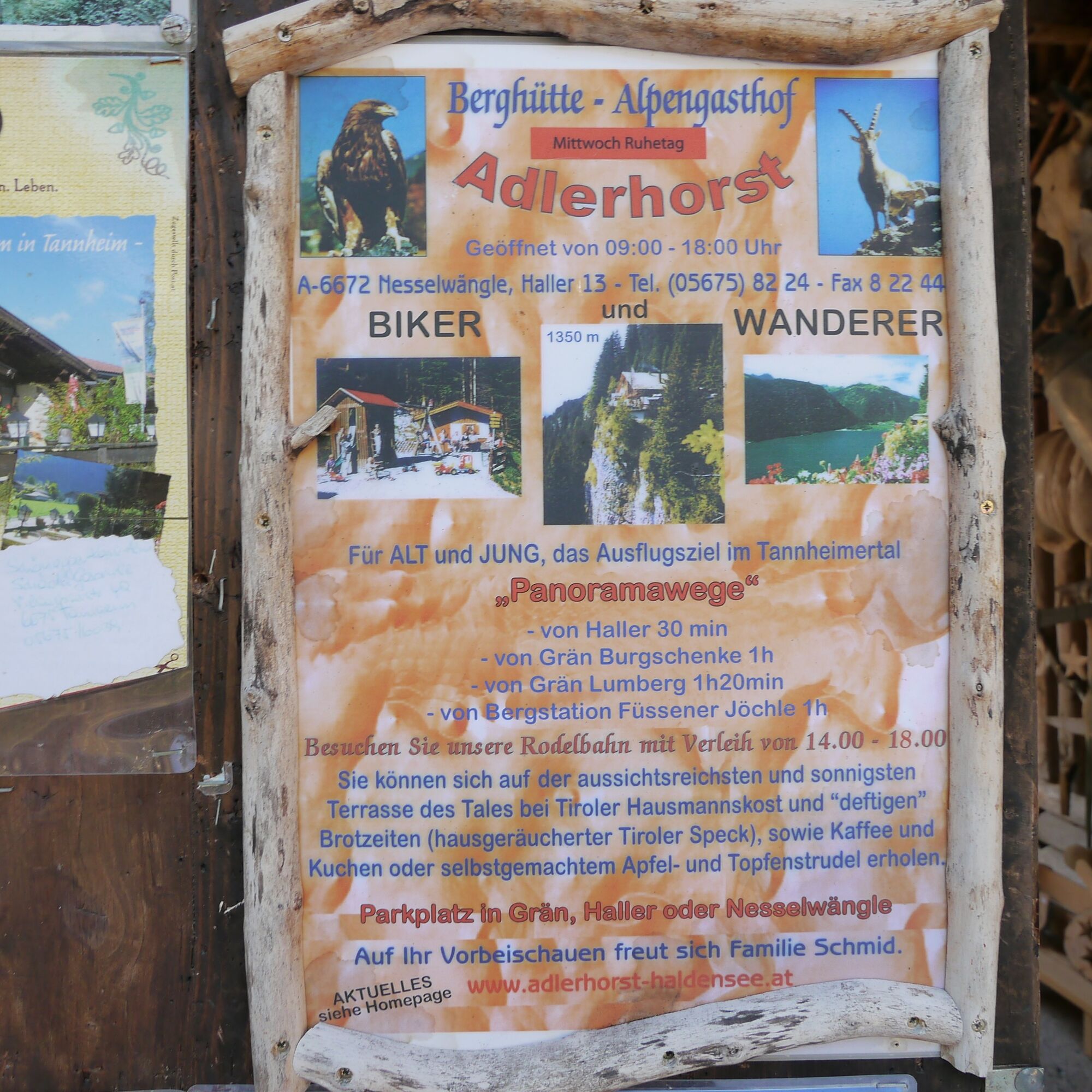
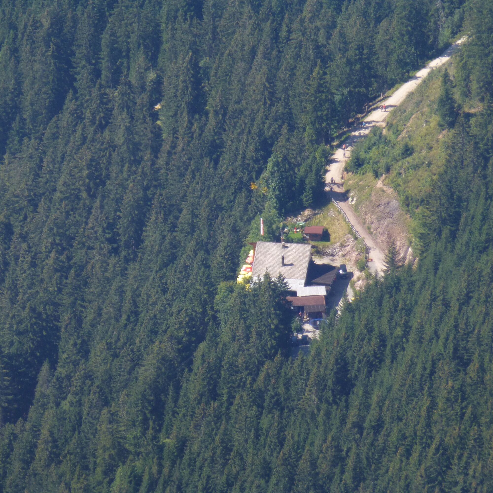

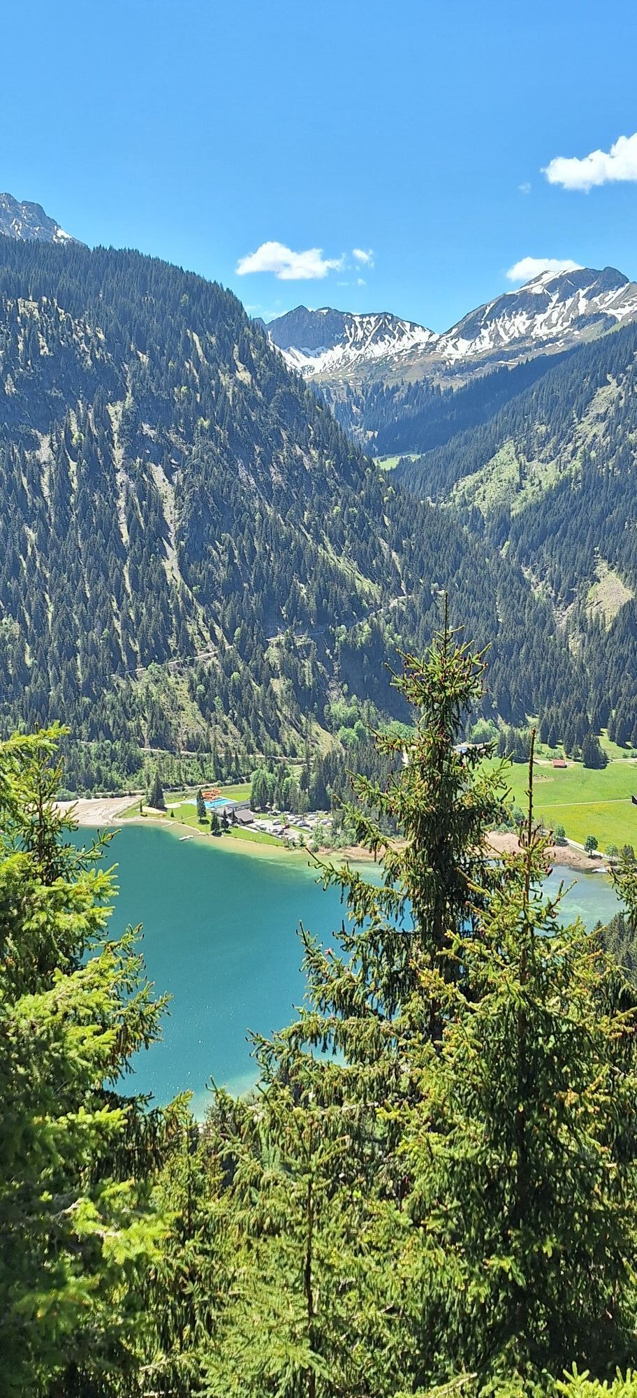
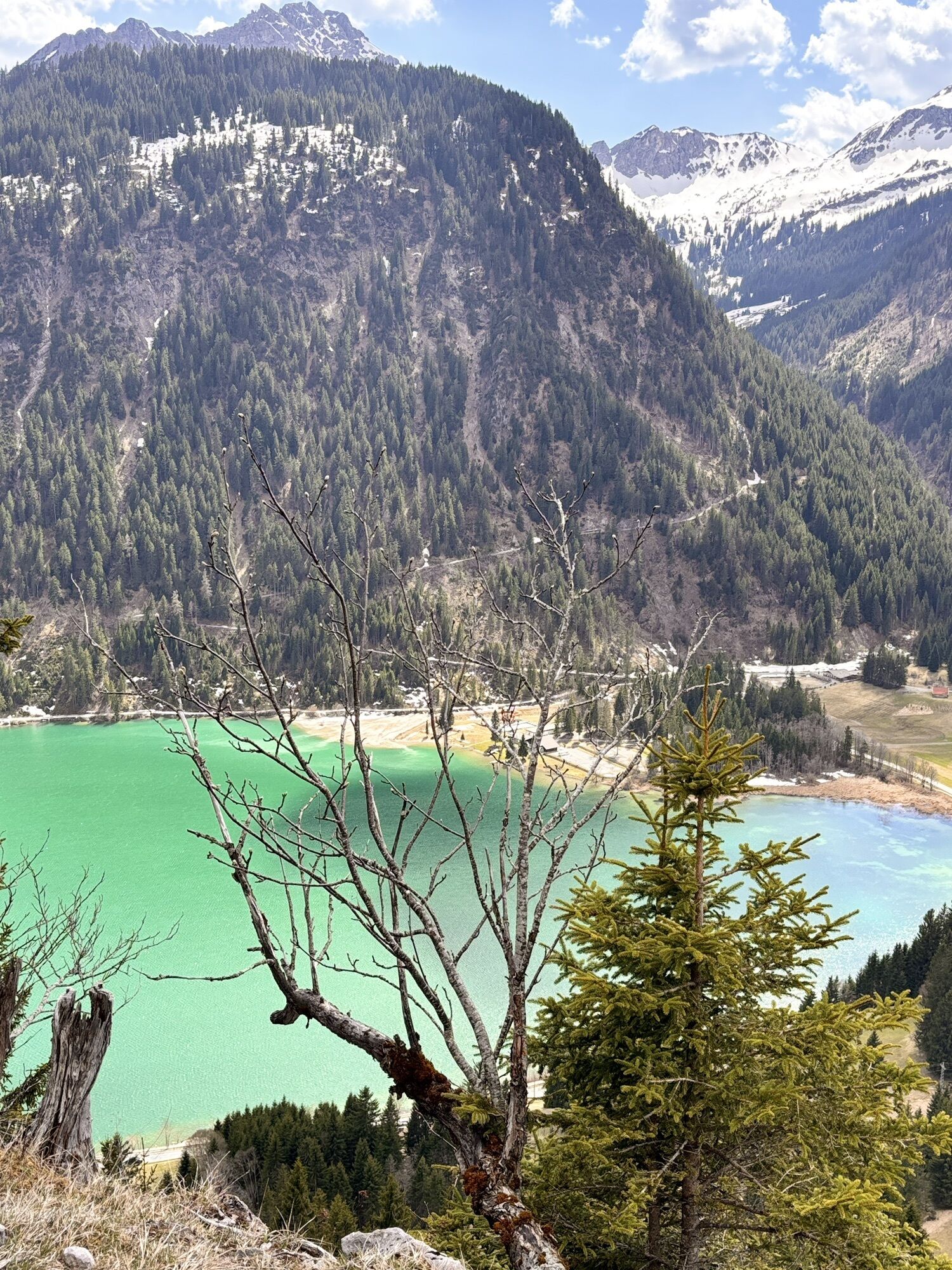
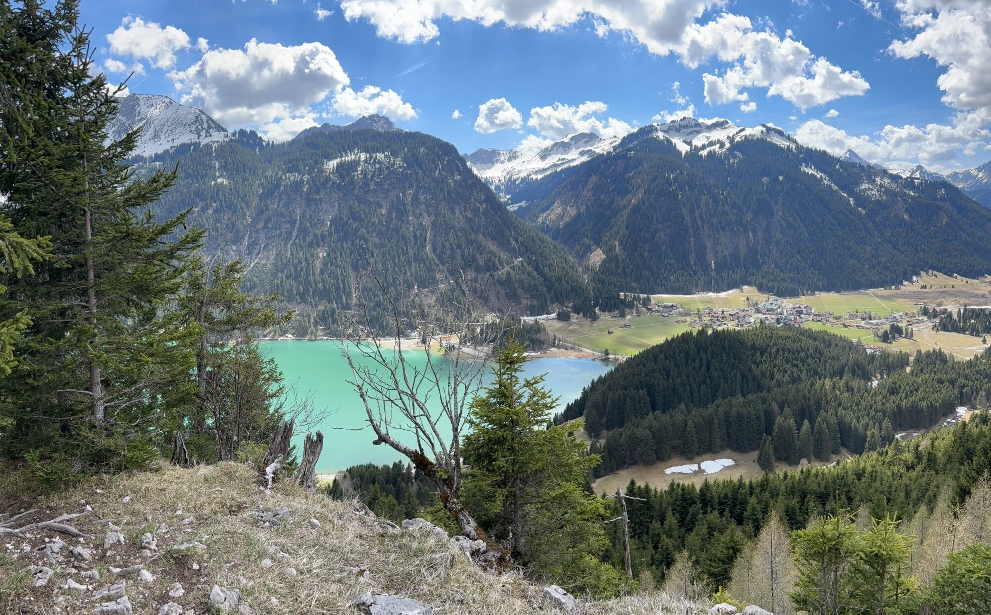
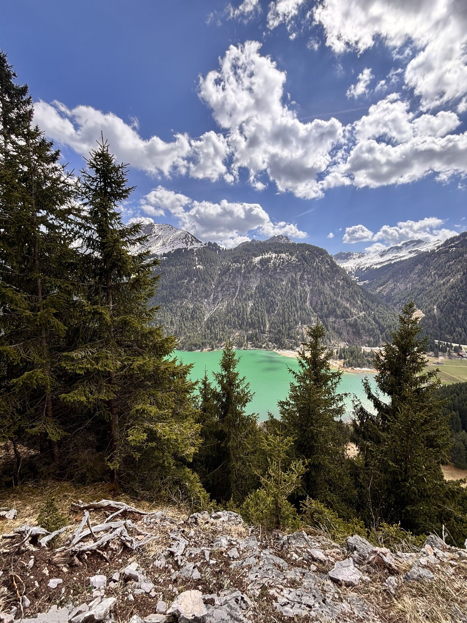
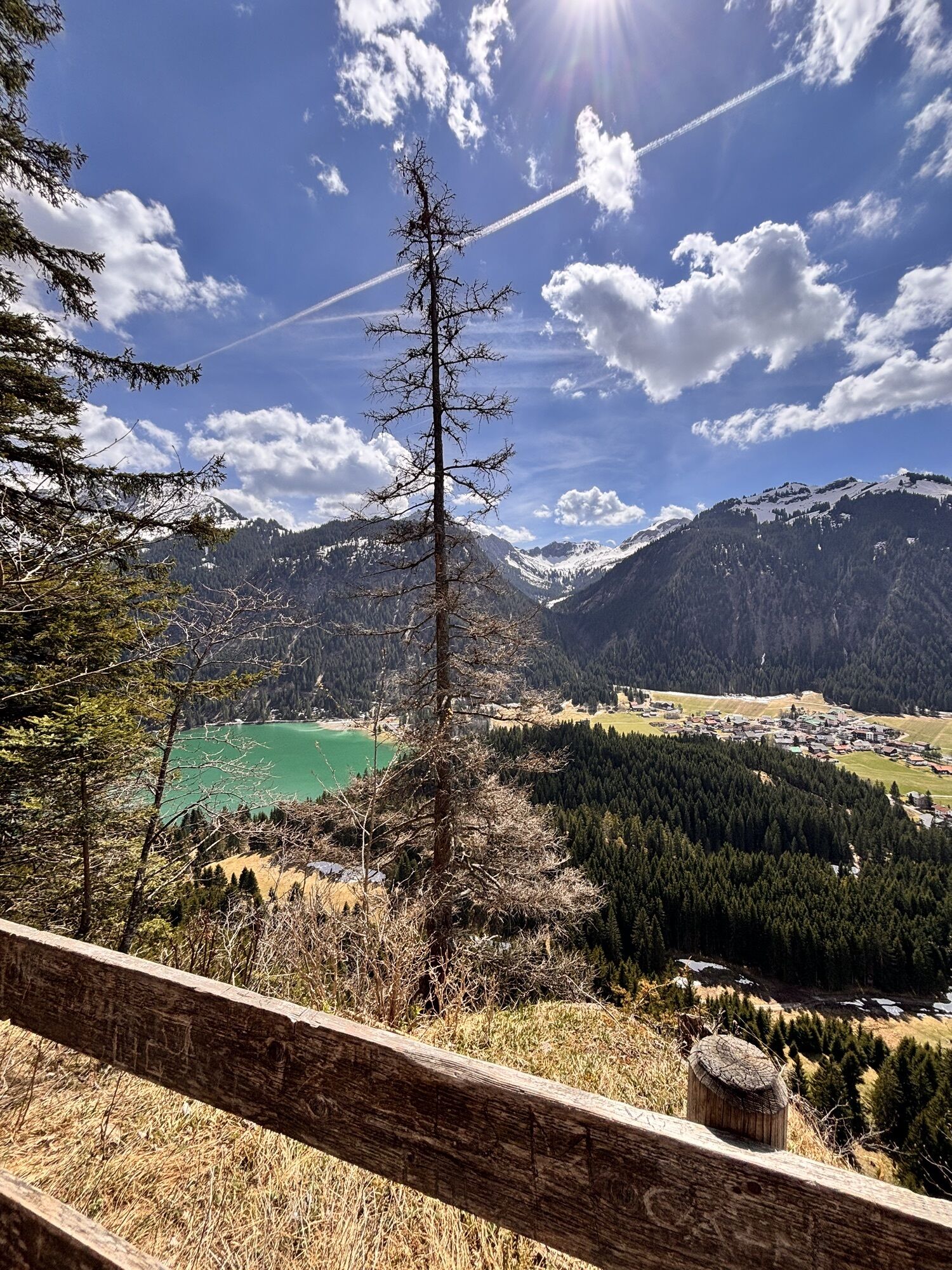
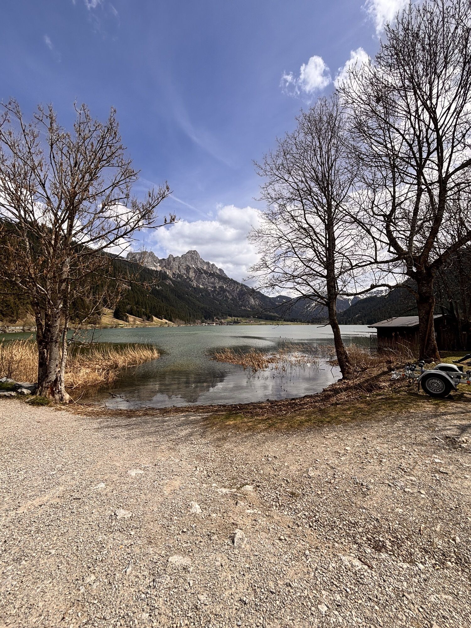
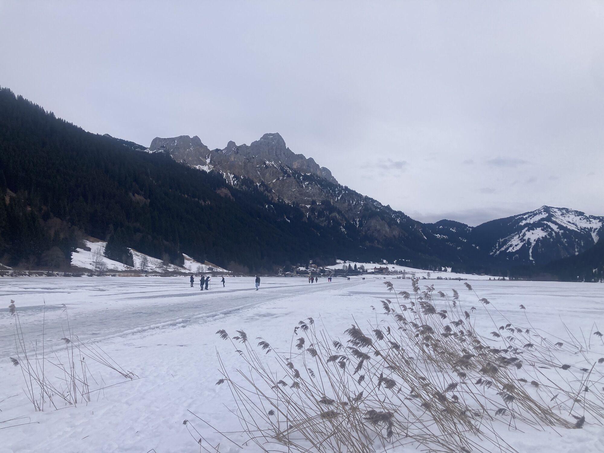
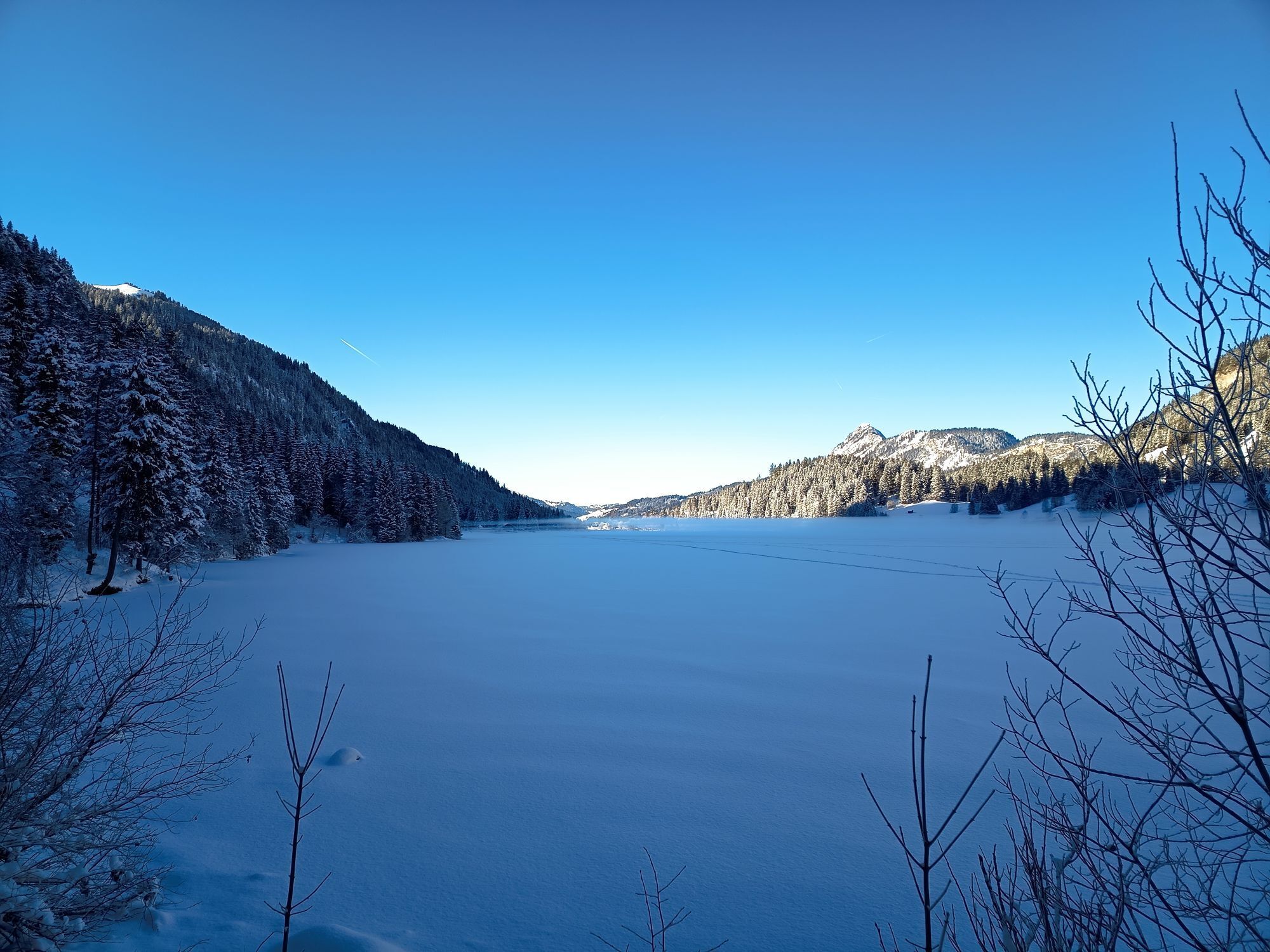
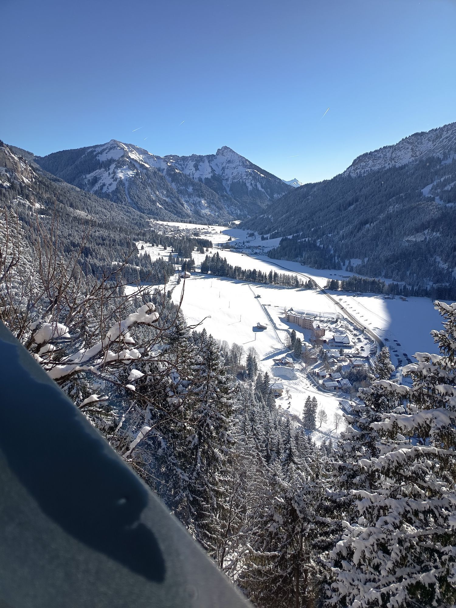
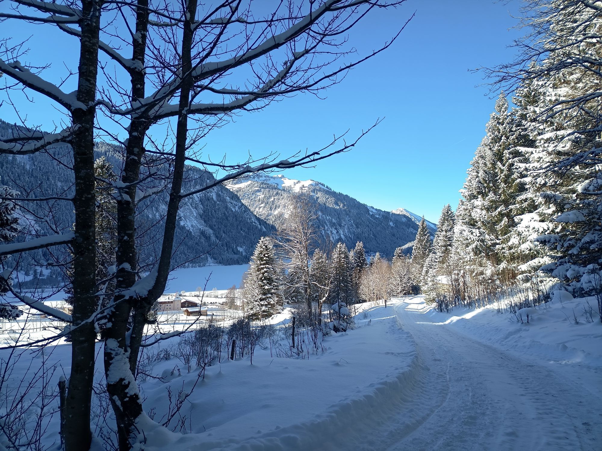
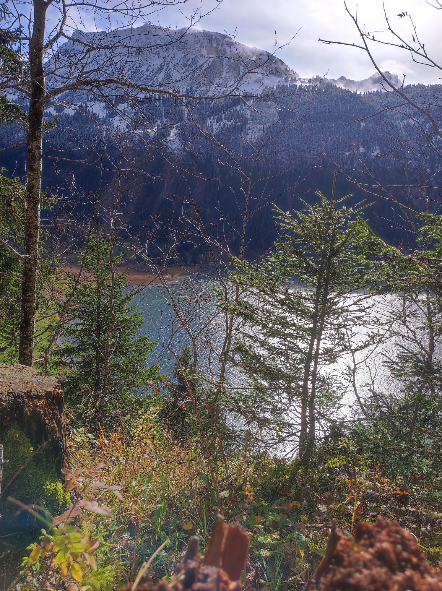
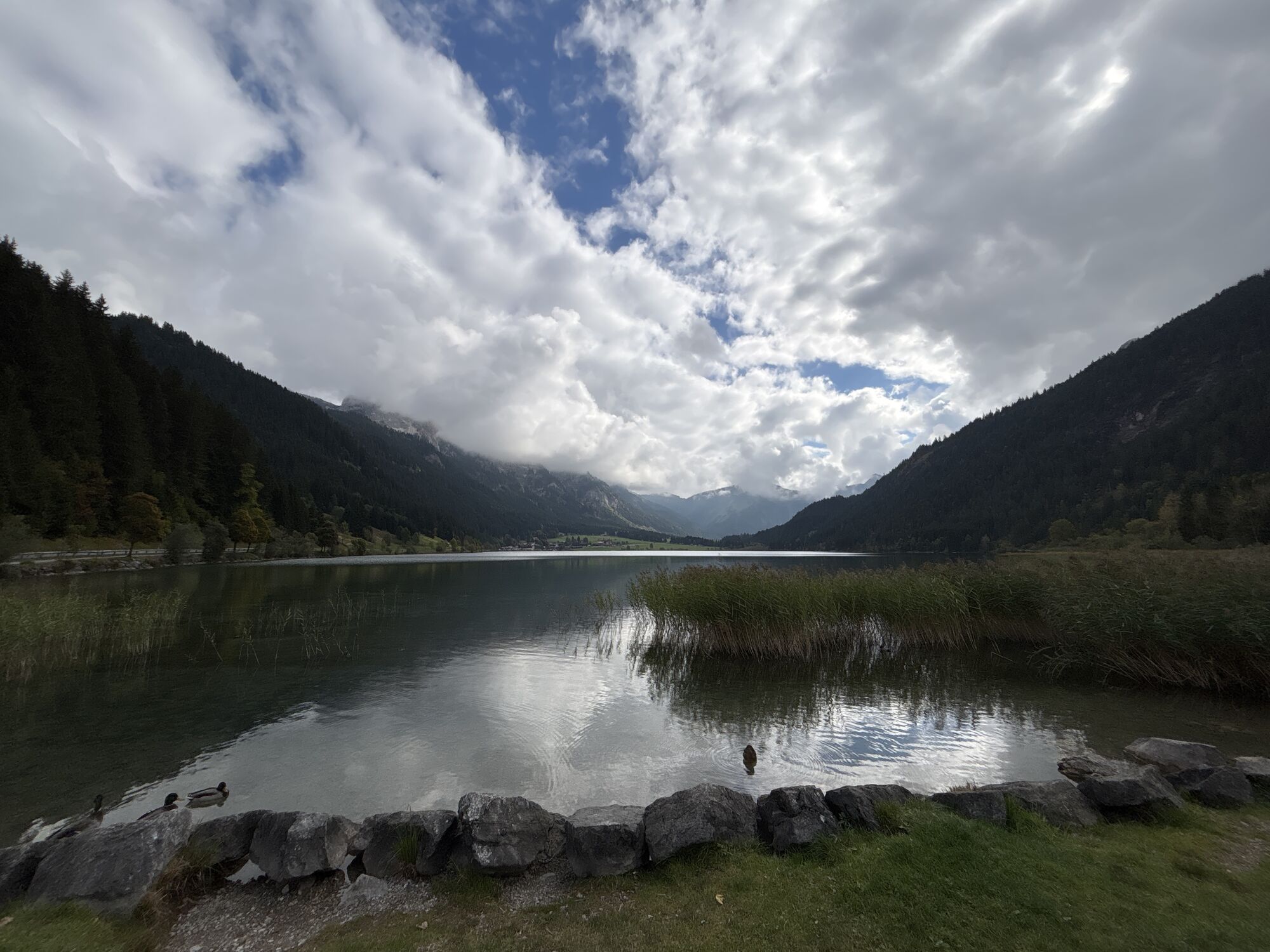
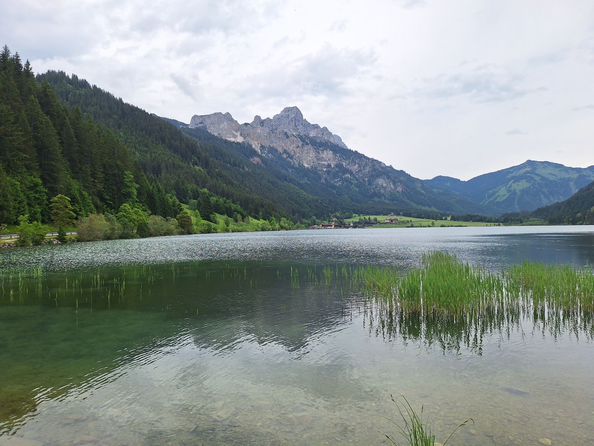
Head north past the sports center and under the federal road, along the stream to the Sulzbach fork. Continue west to the Adlerhorst fork, where the path rises to the right. After the ascent, you reach Adlerhorst. Continue through open woodland, past peat bogs, always heading west to the Grän lift parking lot. Continue east past the Kneipp facility towards Haldensee. Cross the road using the zebra crossing, pass the beach pool, and after the bridge stay left along the southern shore of Lake Haldensee back to the starting point.
Tak
Personal equipment must be safe and usable and correspond to the current technical standard. Everyone is advised to inform themselves about the planned routes in specialist literature or on site. Complete equipment is strongly recommended even for experienced persons!
It should be noted that running and walking sports carry a risk of accidents and injuries. Despite careful route planning, a basic risk always remains. Preparation through endurance training, appropriate technical training and further education, as well as personal caution, reduces the risk of accidents and hazards.
On the A7 motorway at the exit "Oy-Mittelberg," take the B310 towards Wertach and then Oberjoch. There, follow the signs "Tannheimer Tal" B199 until reaching Nesselwängle. From the Tyrol side, via Reutte on the B198 towards Lechtal to Weißenbach, over the Gaicht Pass along the B199 to Nesselwängle.
By train to Sonthofen, Pfronten/Ried, or Reutte, then by bus to Nesselwängle.
Lift parking lot in Nesselwängle – paid
3
A stop at the Adlerhorst inn is highly recommended.
Uzyskaj wgląd Zawsze na żywo z ponad 9 500 kamer internetowych. bergfex Jako użytkownik Pro, możesz teraz zobaczyć odpowiednie kamery internetowe dla wielu wycieczek w aplikacji wycieczki od. Pozwala to na bezpośredni podgląd aktualnych warunków. Popularne wycieczki w okolicy
- 4,8
Thaneller
średniWędrówka 4,90 km - 4,8
Around Weißensee
światłoWędrówka 6,12 km - 5,0
Hiking tour to Breitenberg
ciężkiWędrówka 15,6 km - 5,0
Gemeinde Grän, Tirol/Österreich Aggenstein Rundtour über Höhenweg
średniWędrówka 9,84 km - 4,8
Tannheim / Vilsalpsee / Landsberger Hütte
średniWędrówka 15,7 km - 4,7
3-Gipfel-Tour
średniWędrówka 11,2 km - 4,2
Three-lake route (awarded the Tyrolean Hiking Trail Seal of Quality)
średniWędrówka 14,8 km - 4,6
3-Seen Rundtour Vilsalpsee / Schrecksee / Traualpsee
średniWędrówka 17,1 km - 4,9
Iseler und Kühgundkopf
średniWędrówka 7,63 km - 4,4
Schloß Neuschwanstein und Schwanensee Schwangau, Bayern
średniWędrówka 9 km

Wędrówki i tropienie


Nie przegap ofert i inspiracji na następne wakacje
Twój adres e-mail została dodana do listy mailingowej.





