







MTB Tour Hintersteiner See Lake-Kaiseralm Circuit
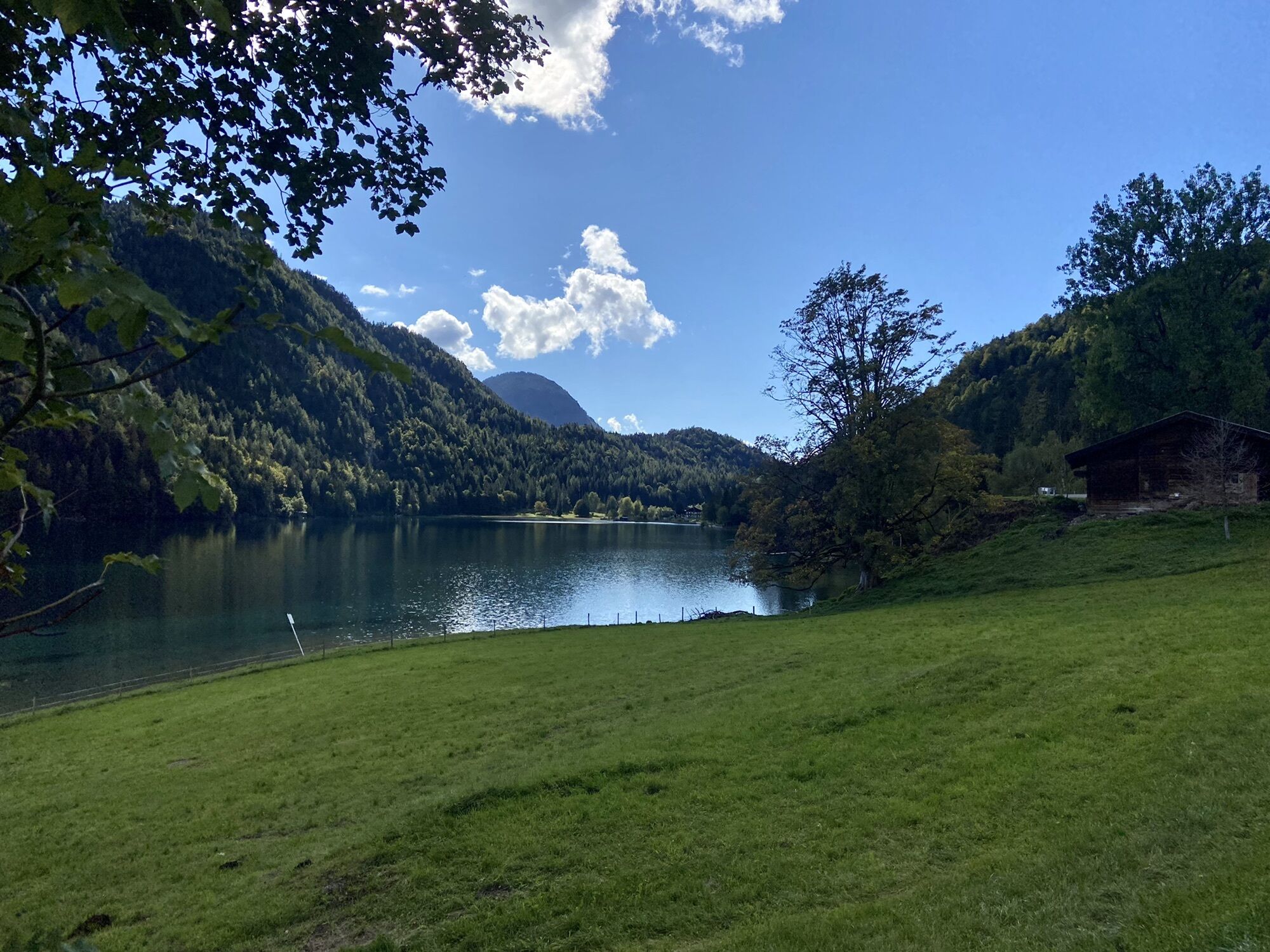
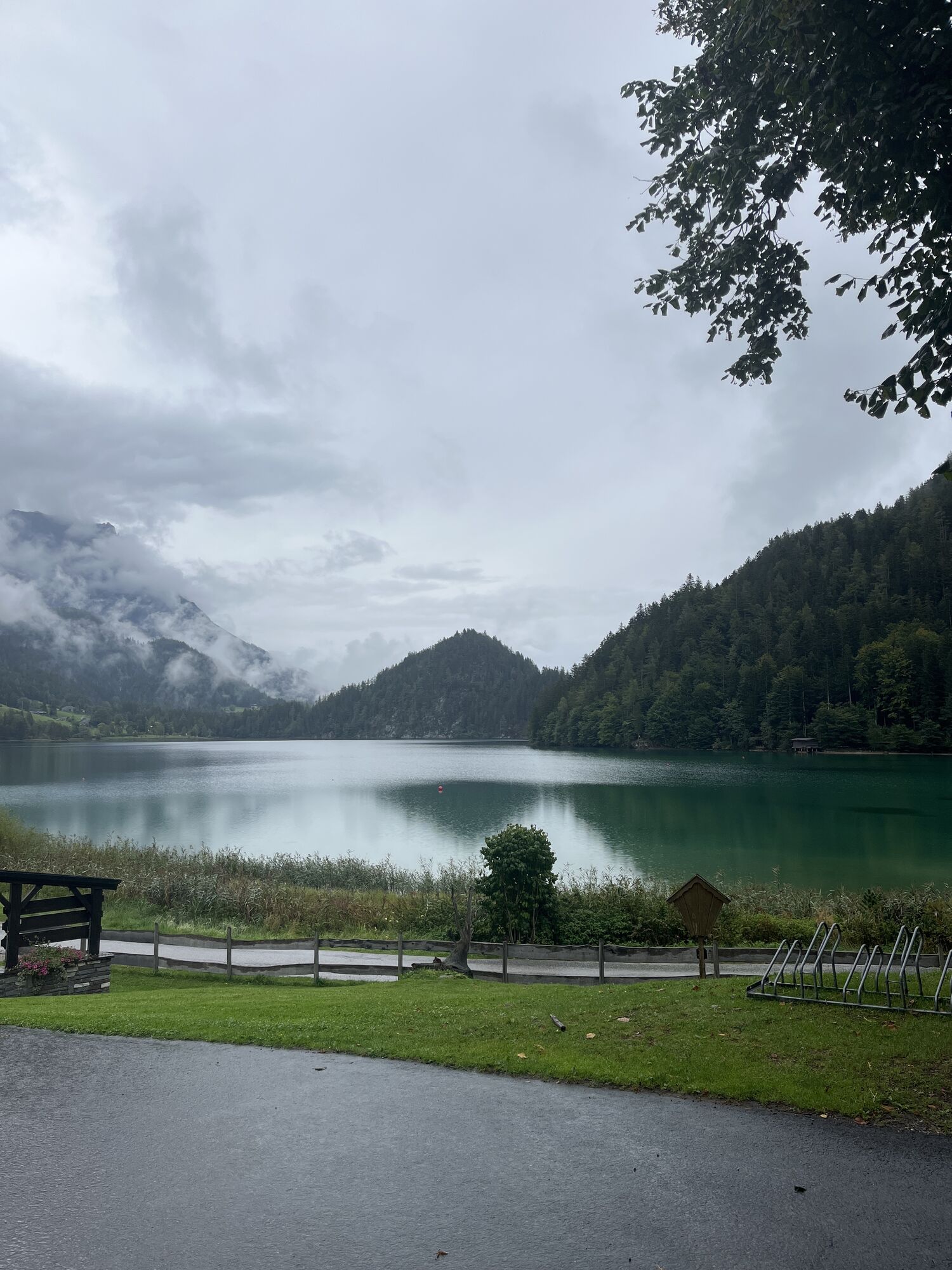
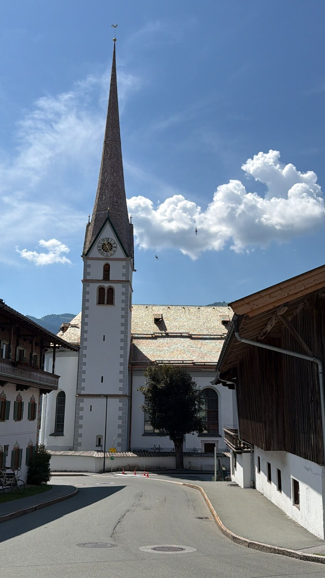
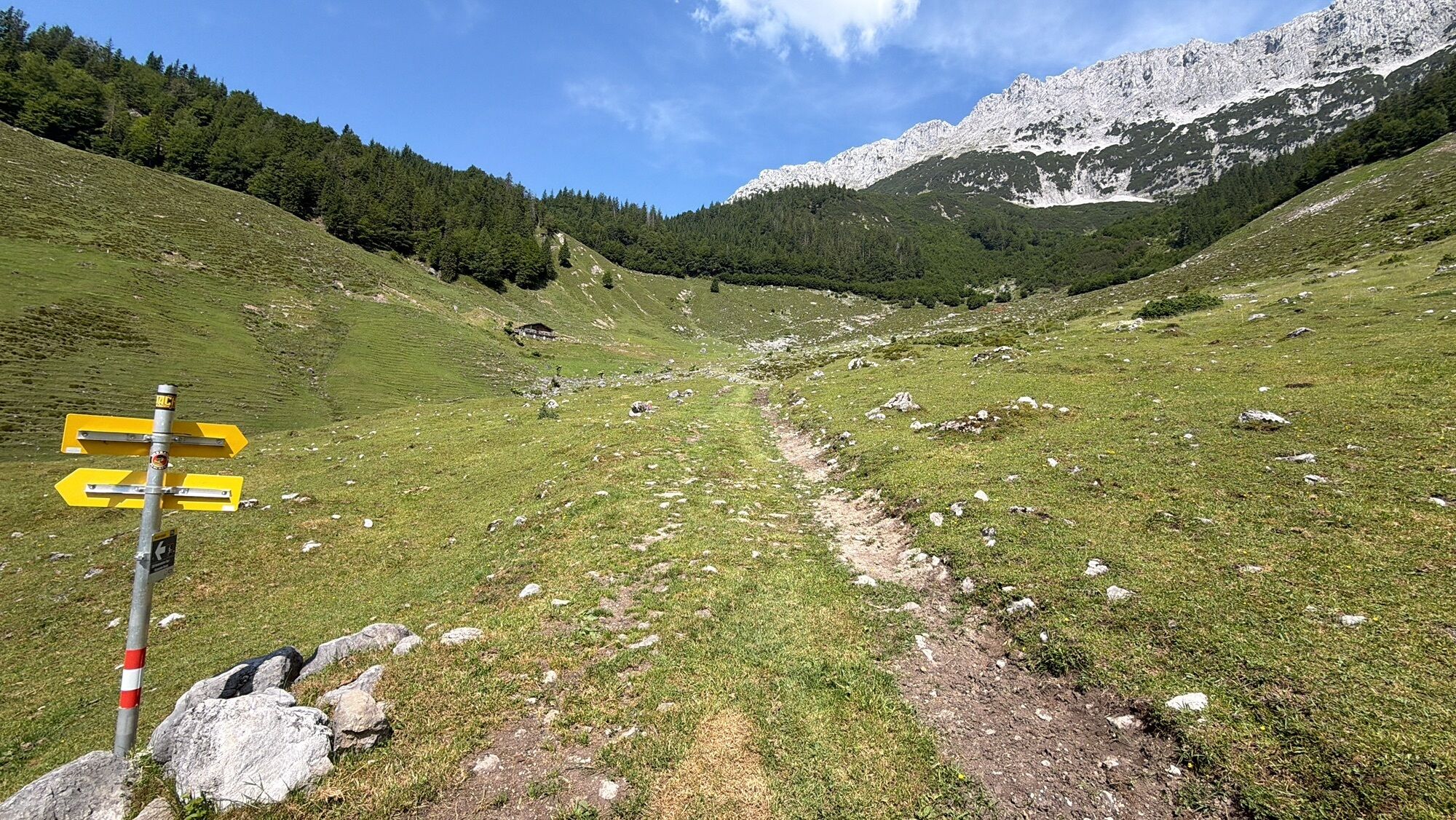

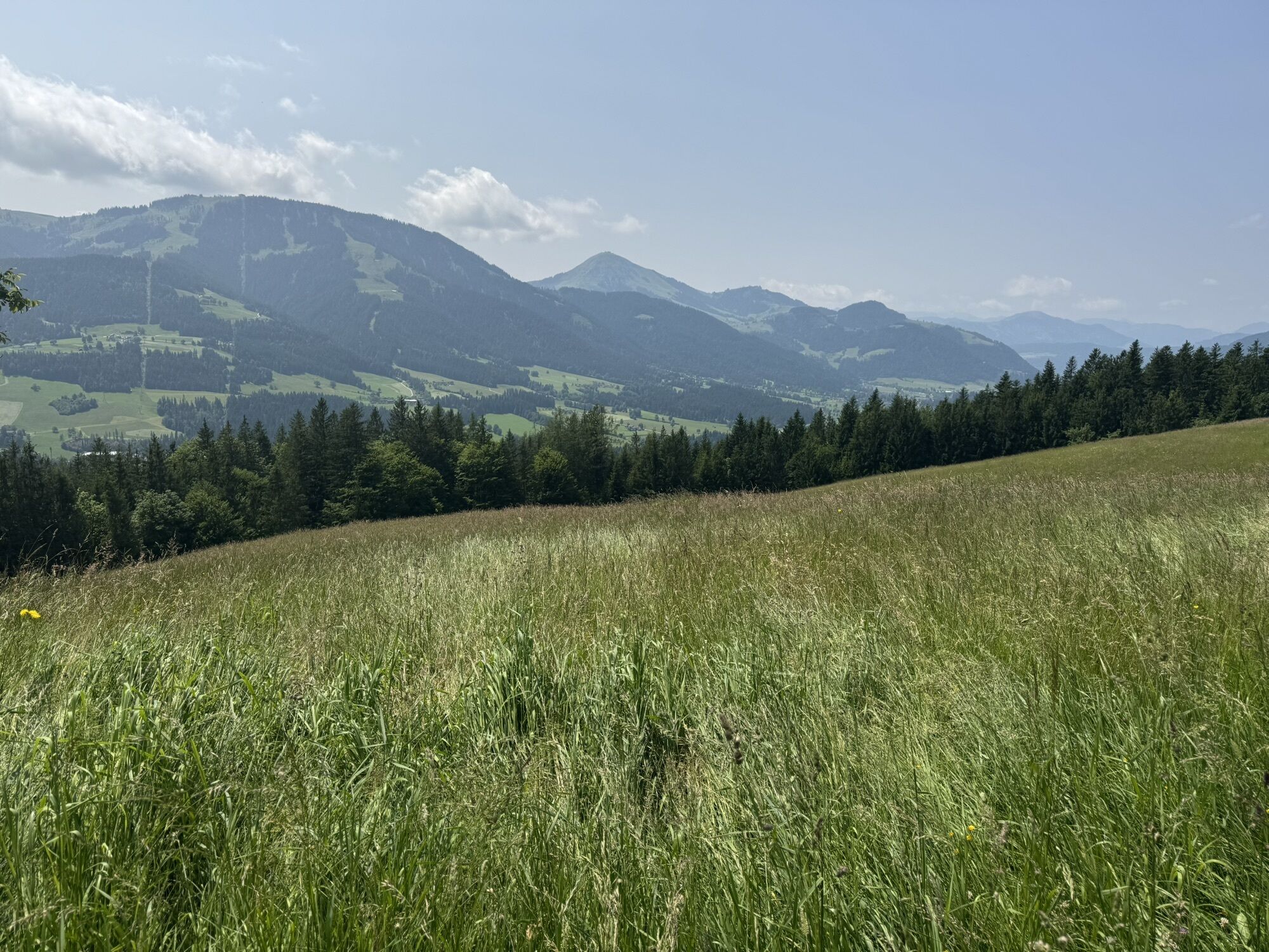

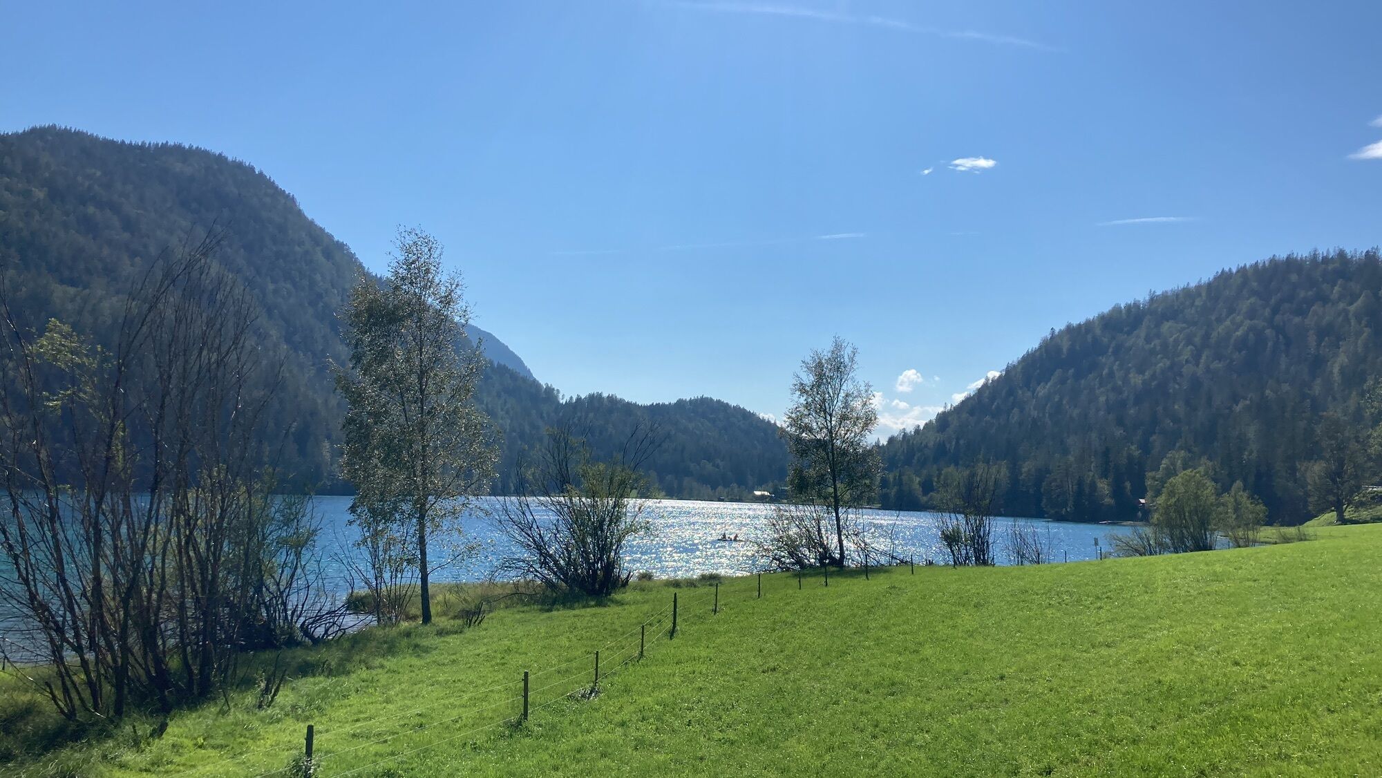
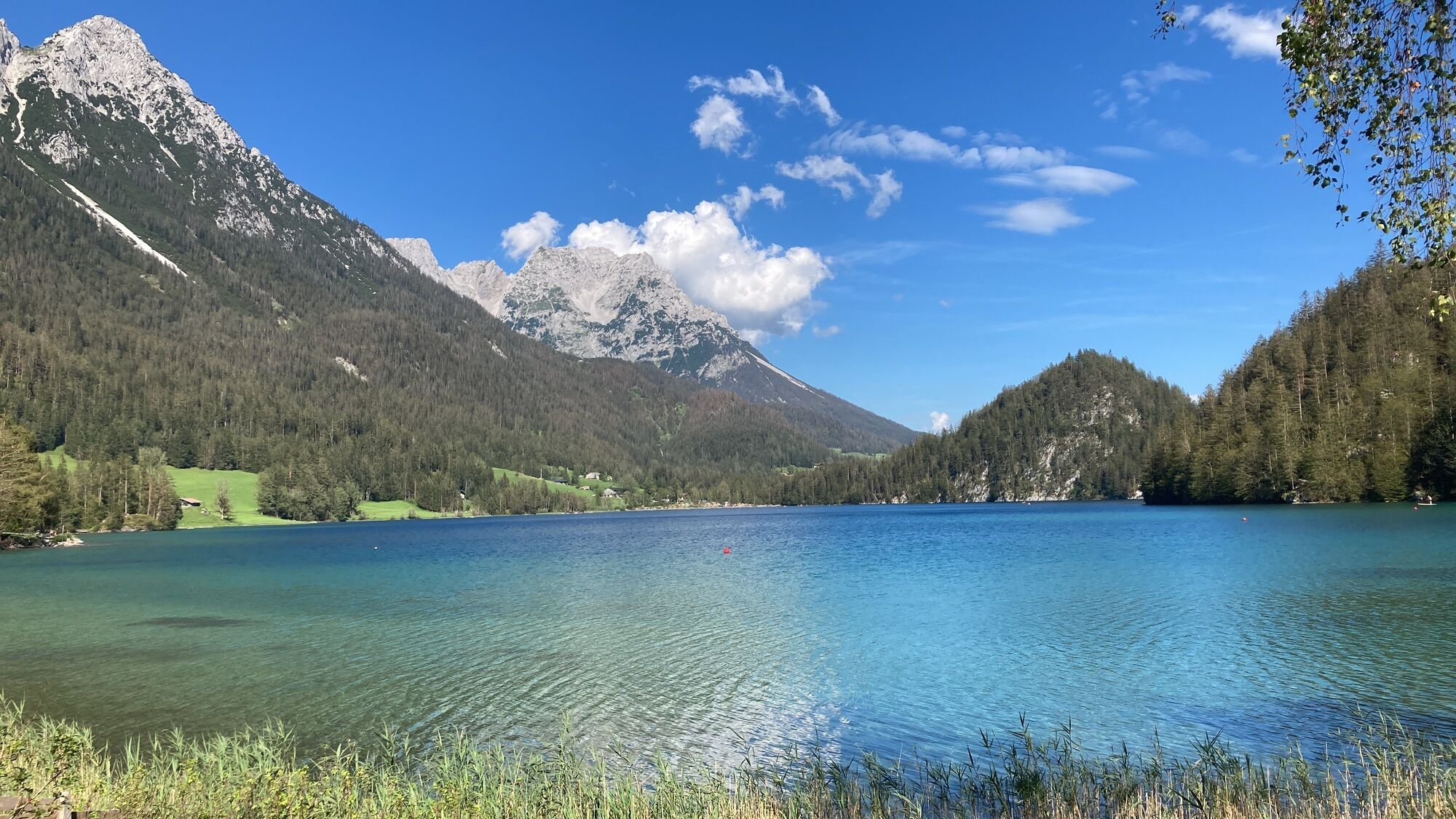
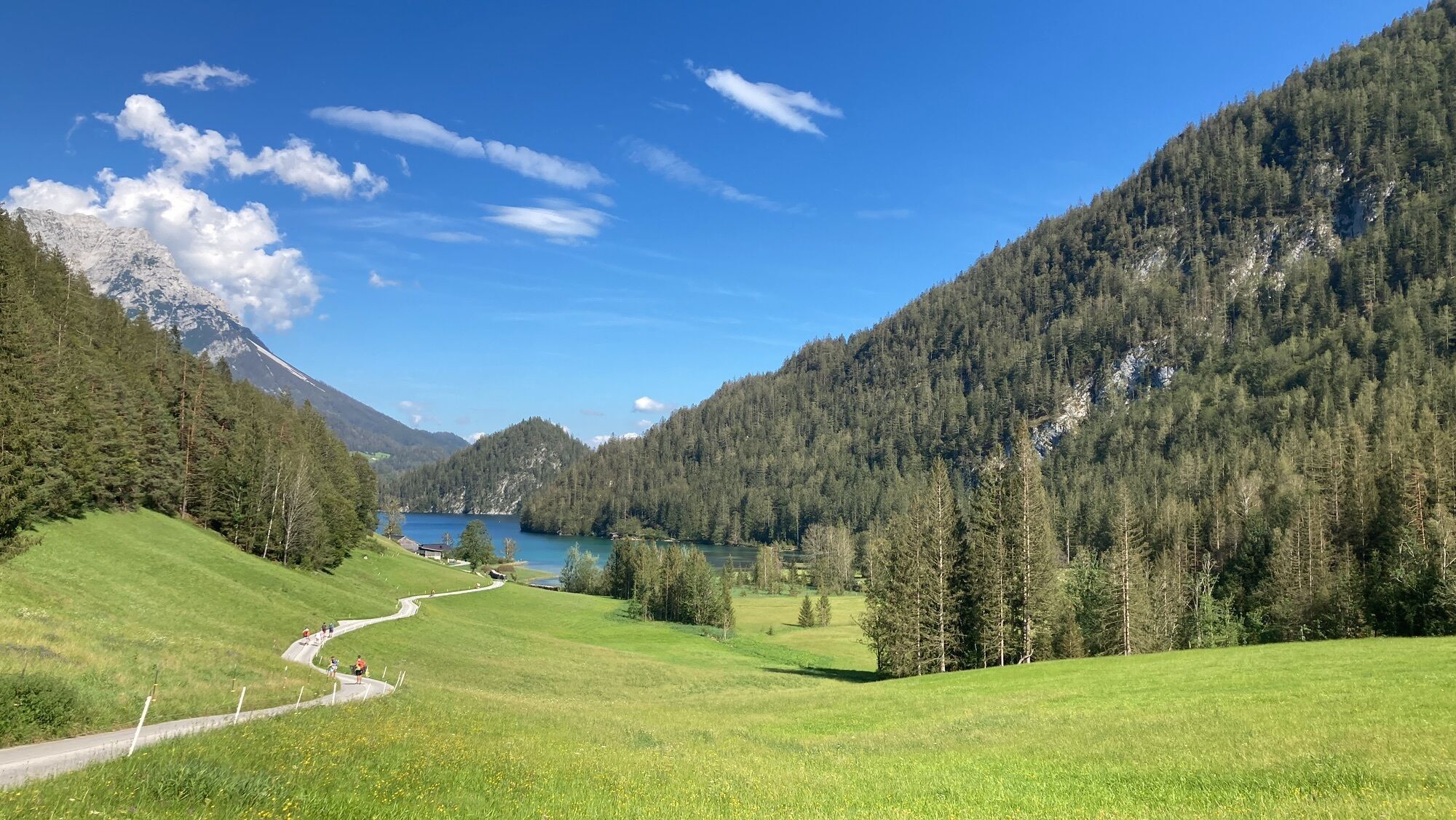
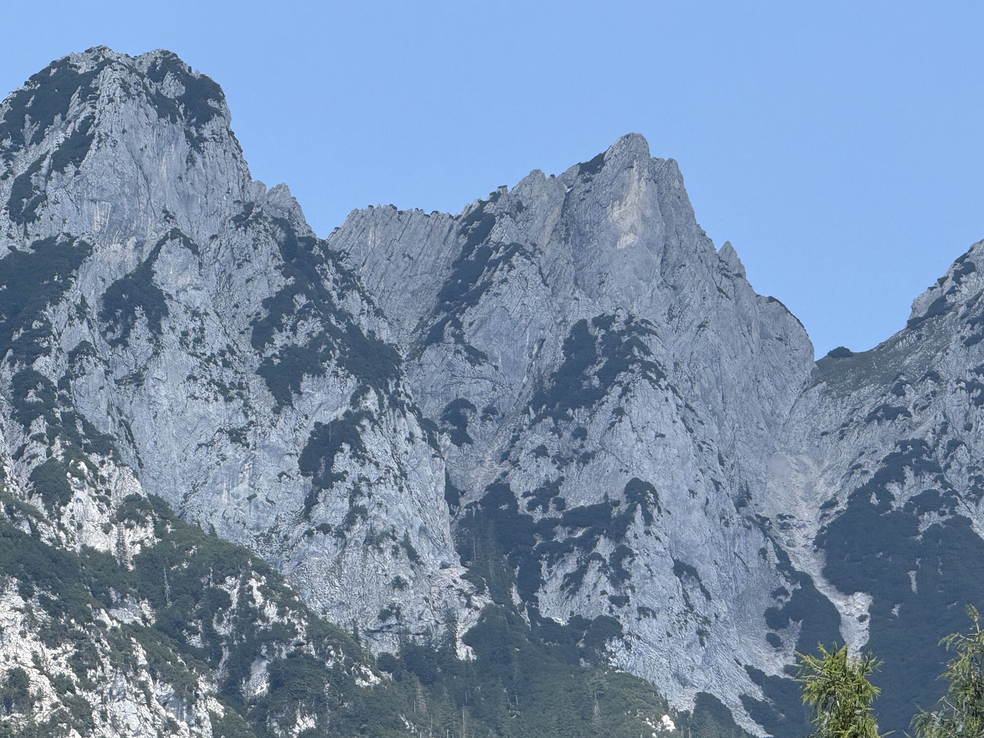
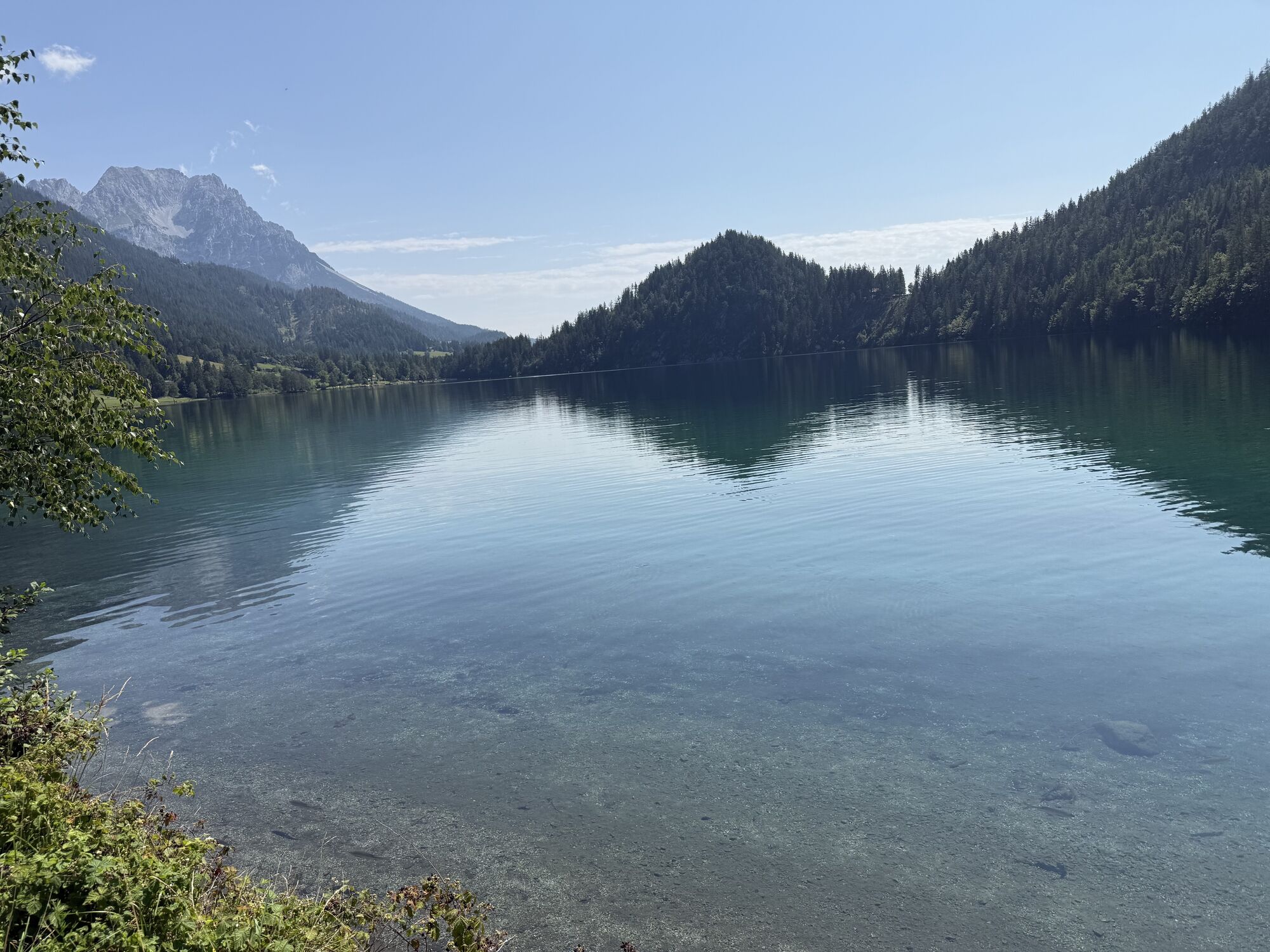
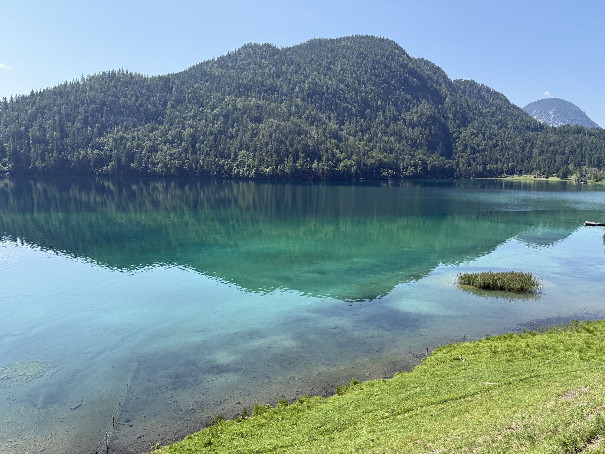
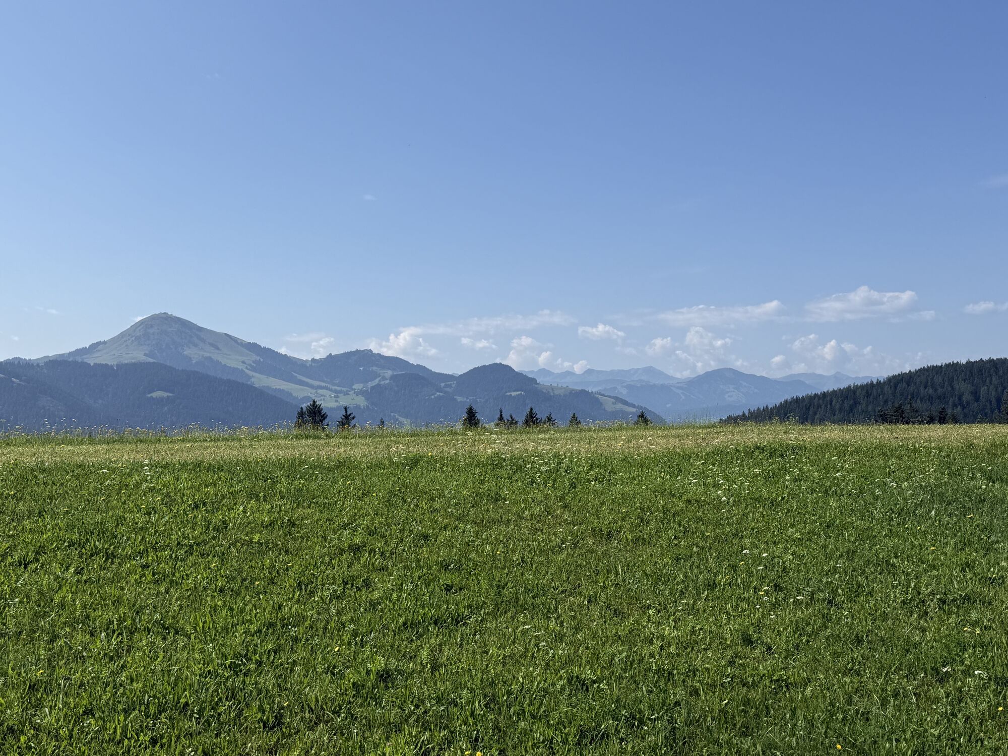
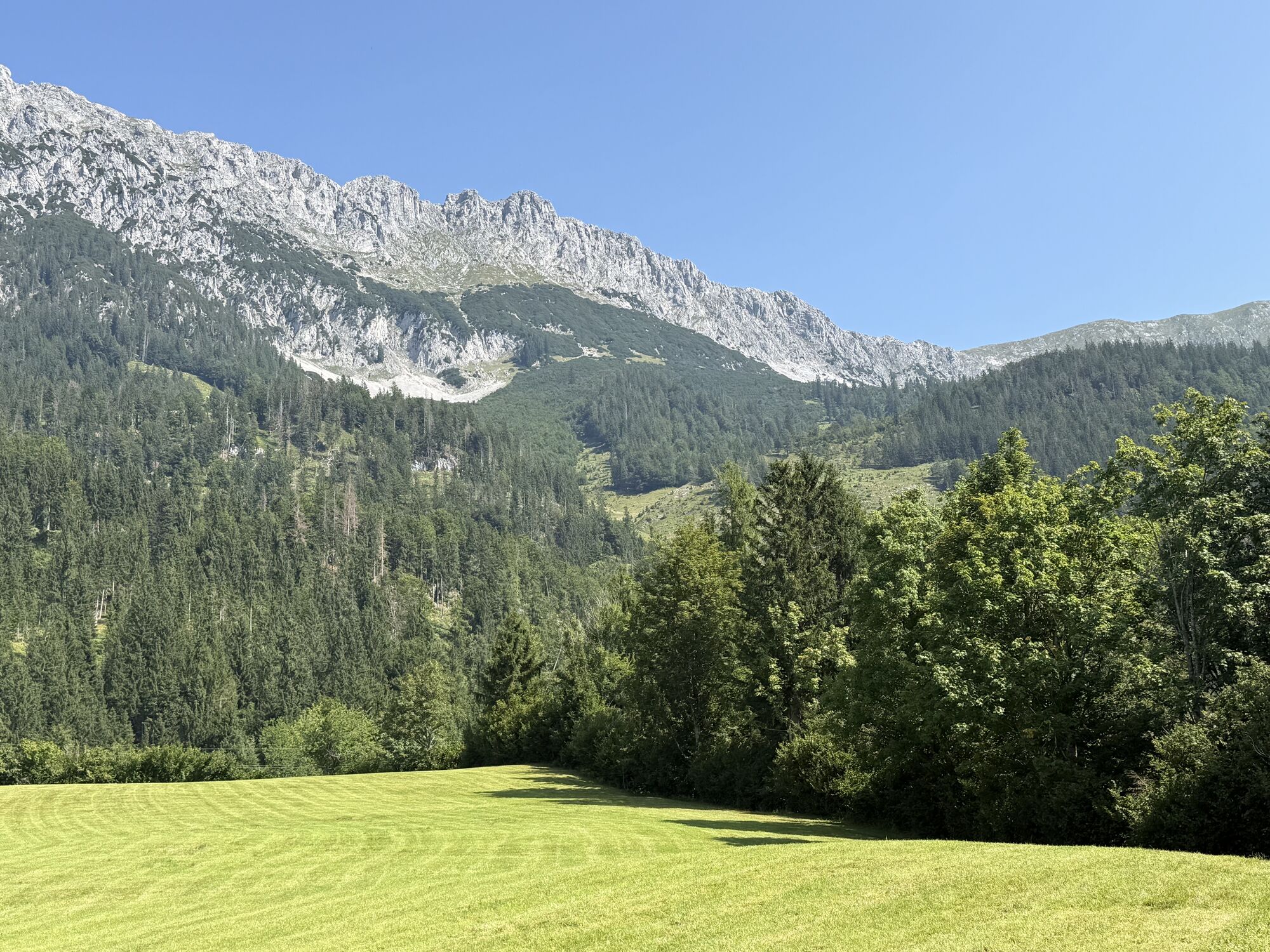
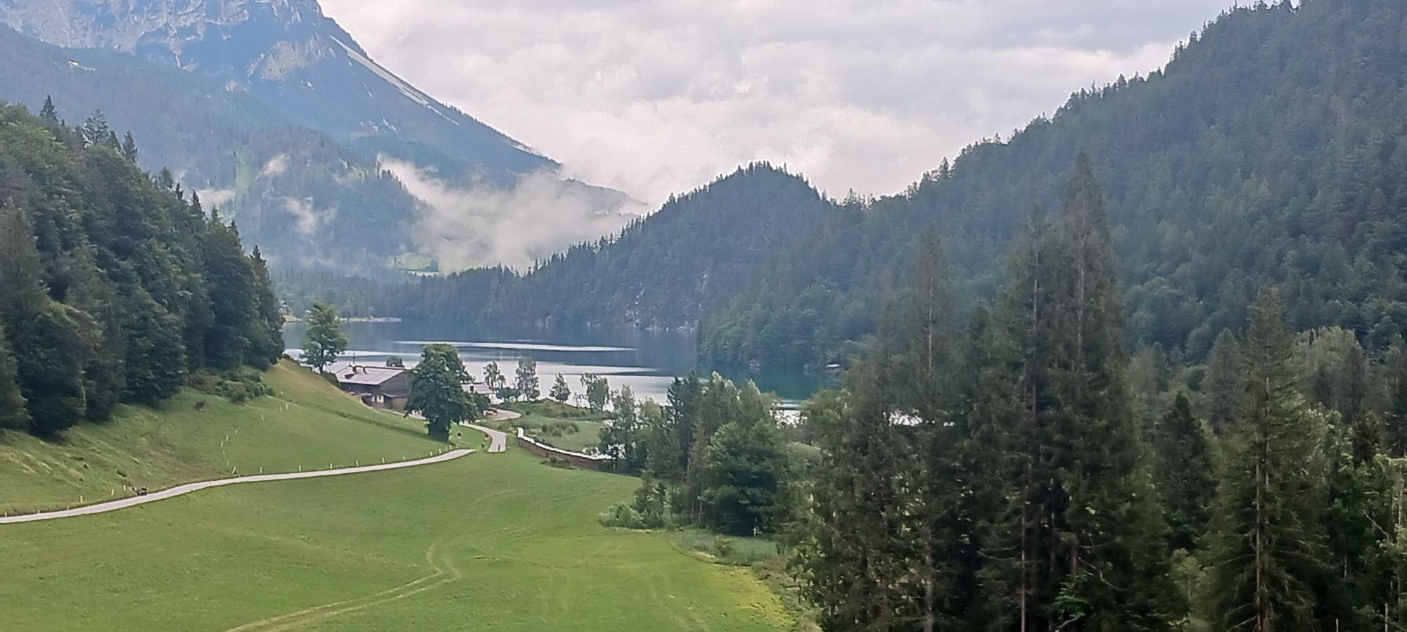
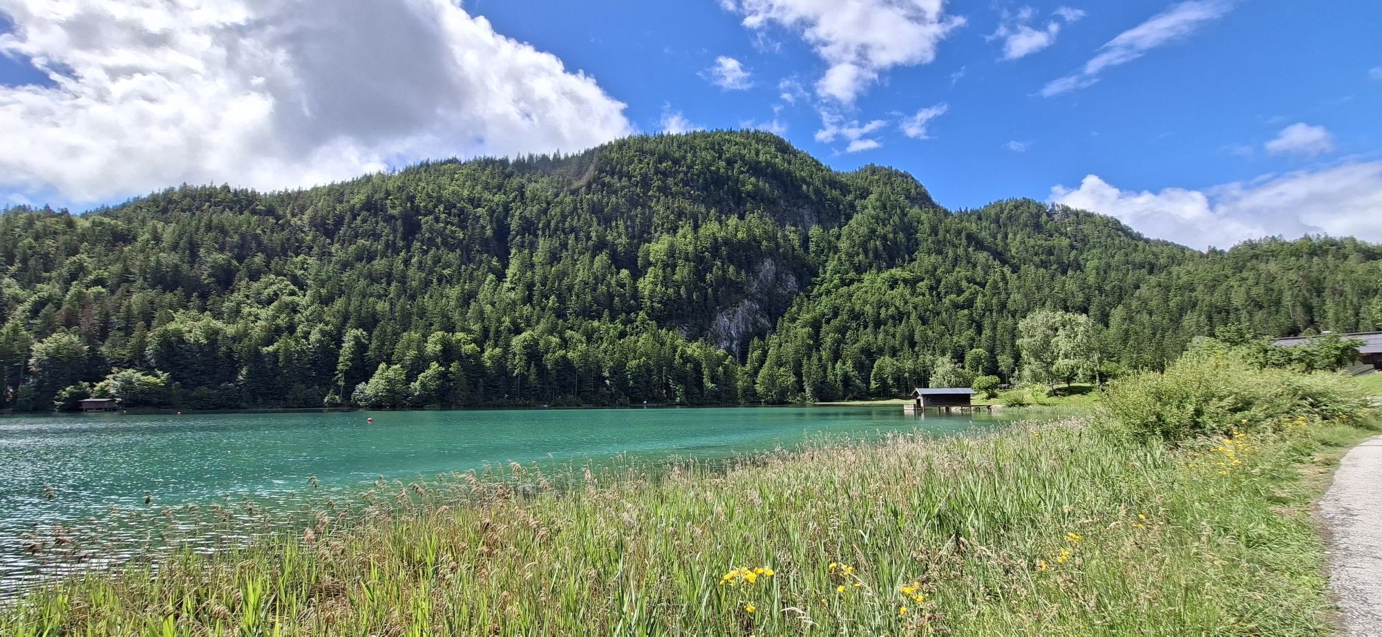
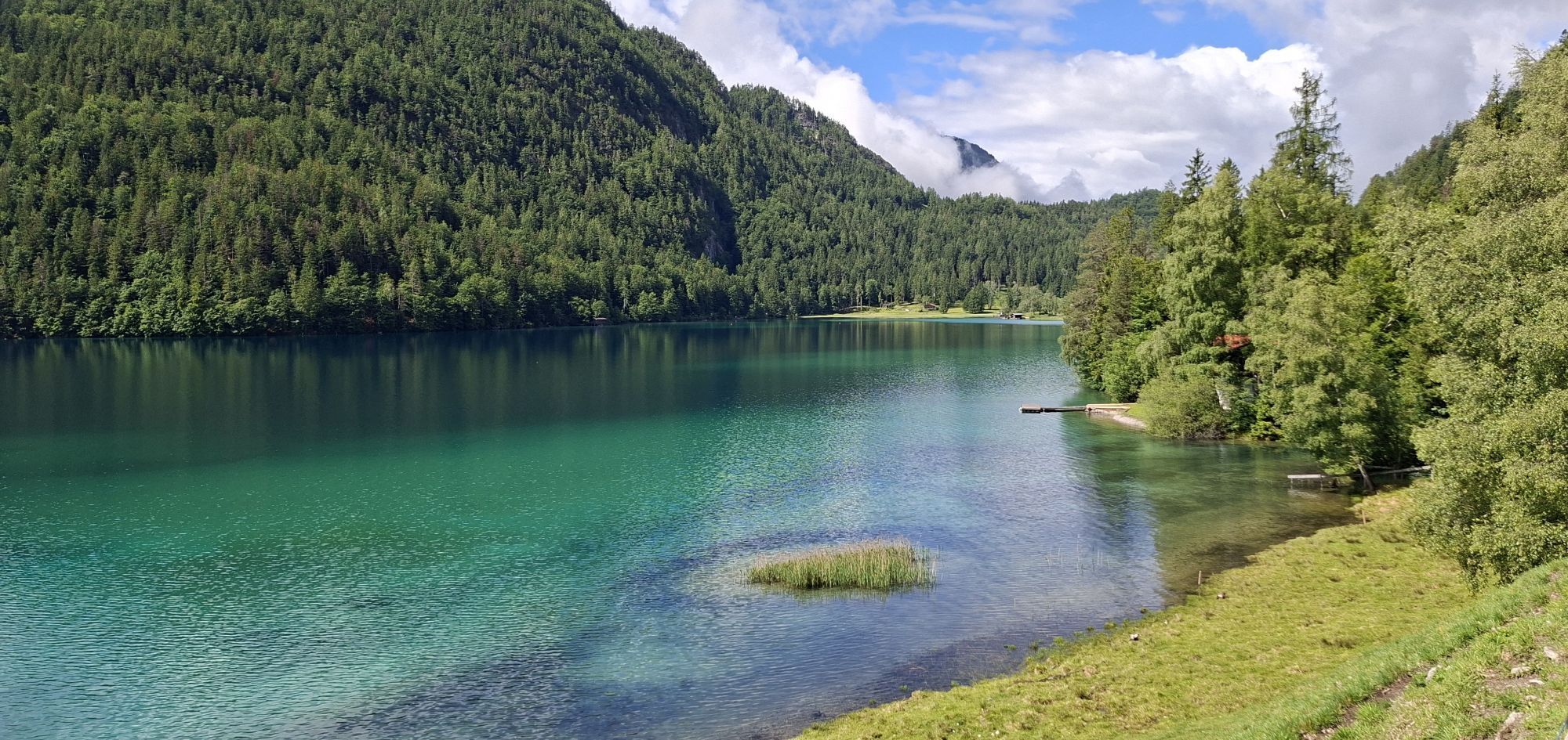
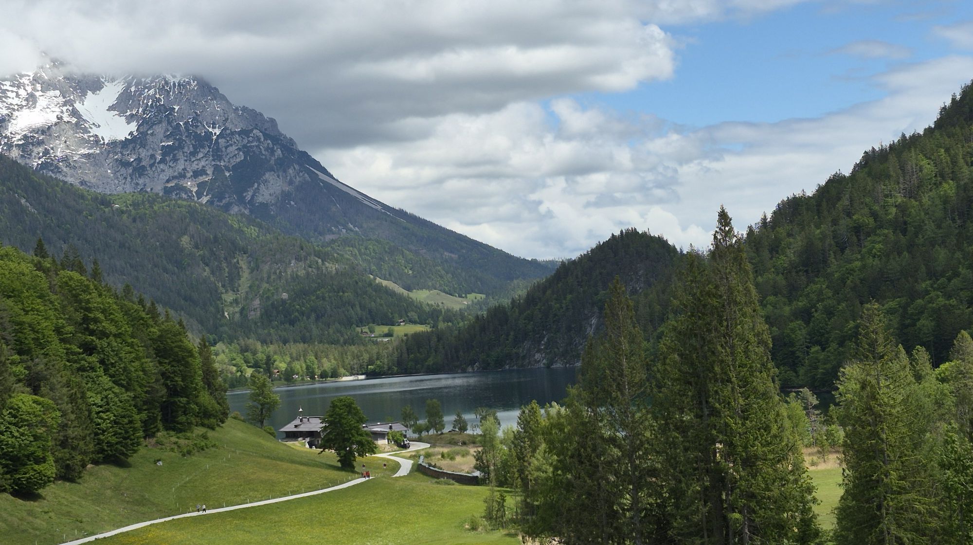
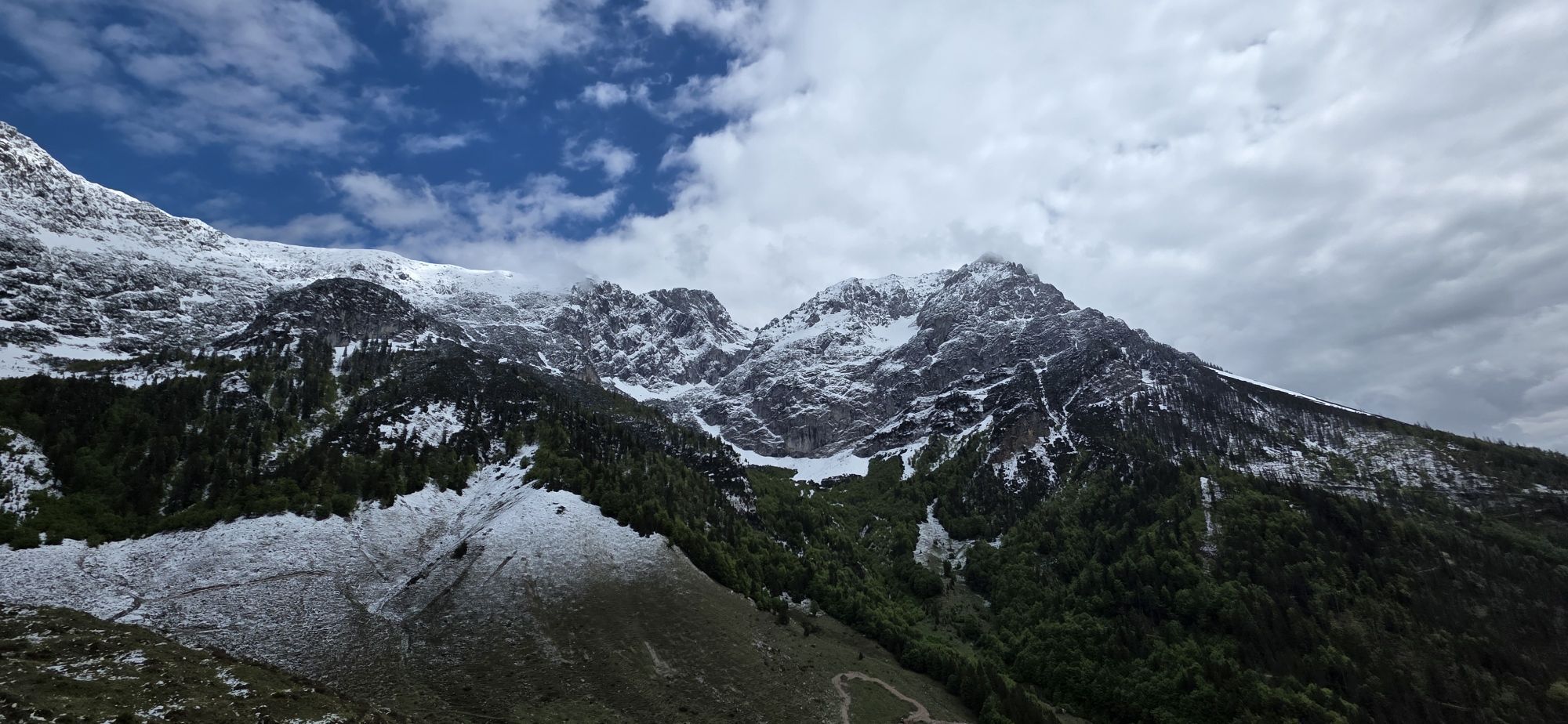
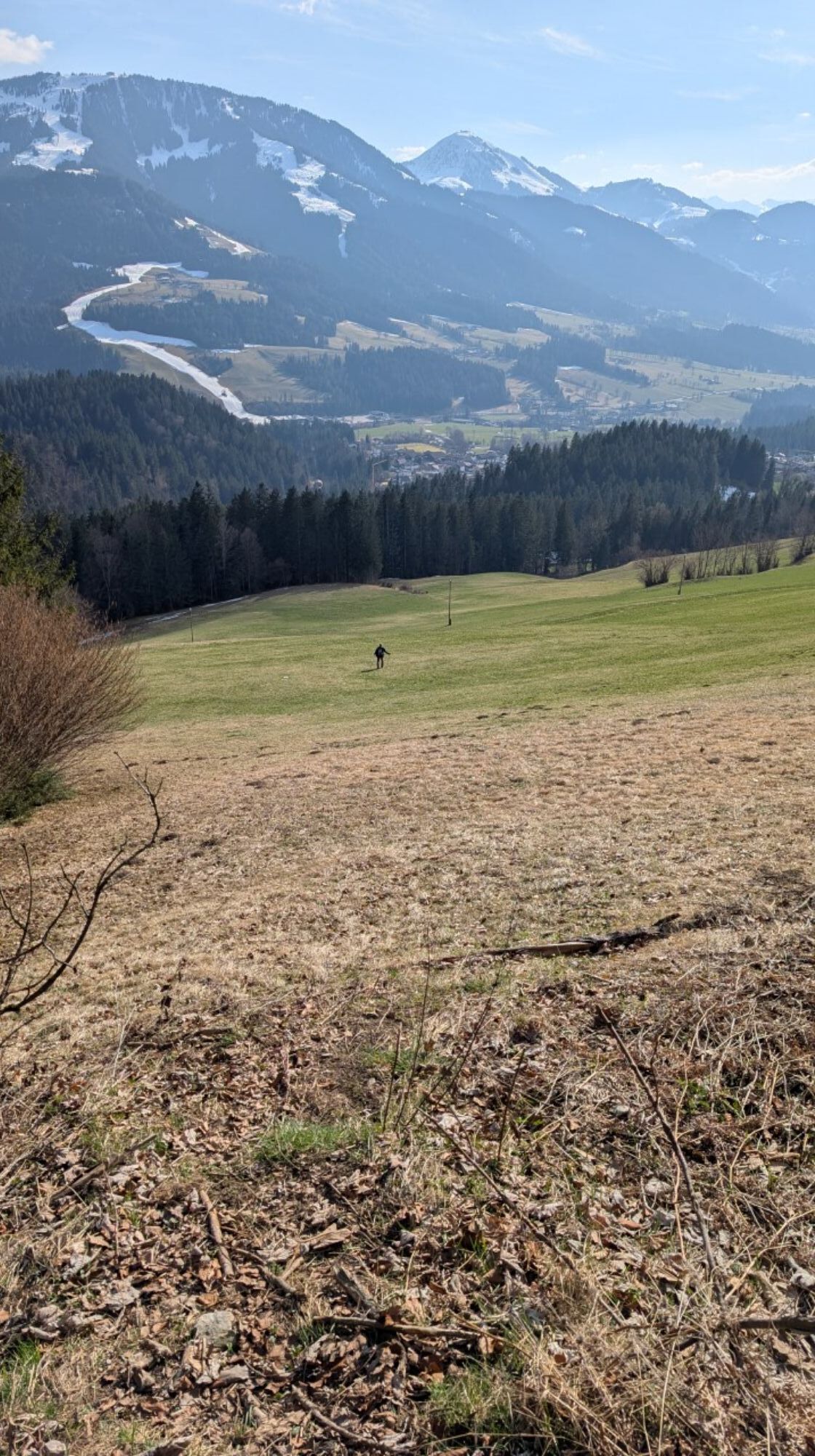
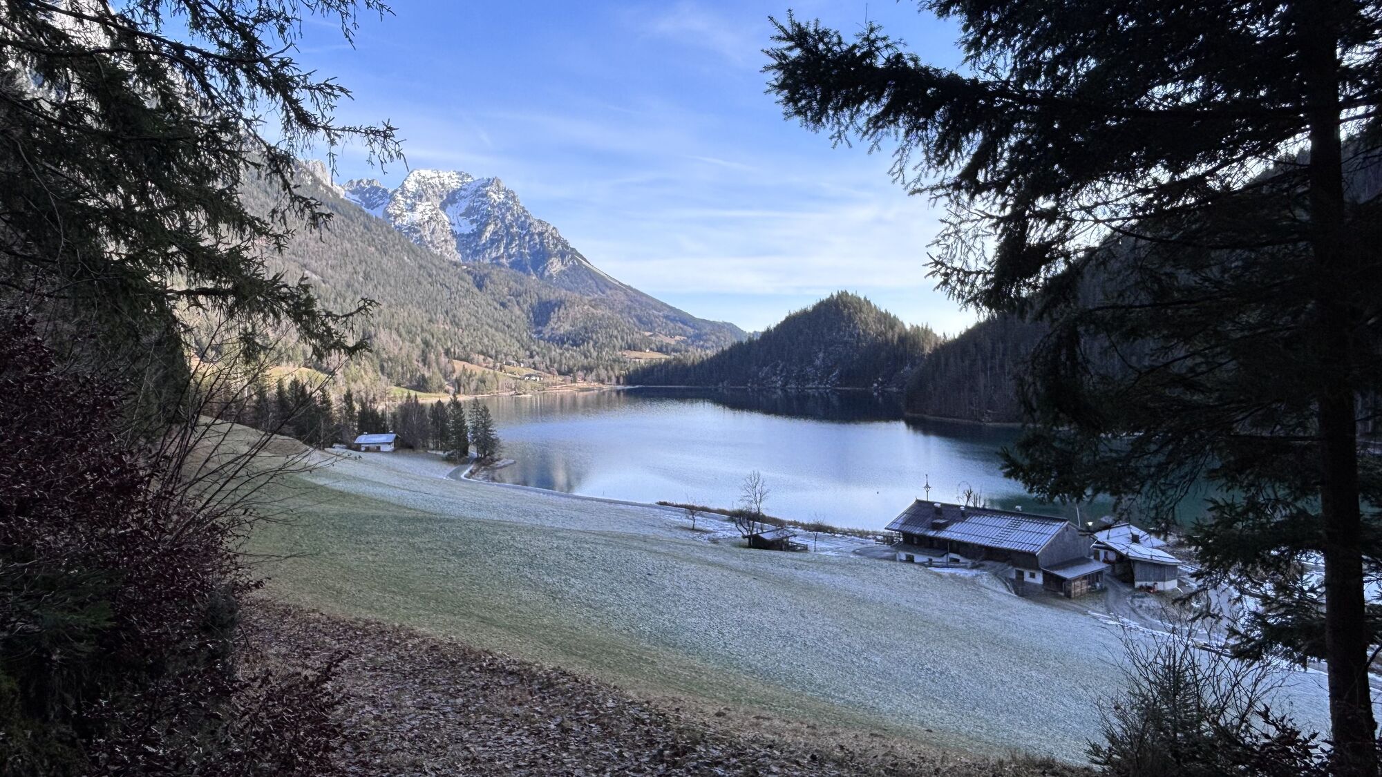
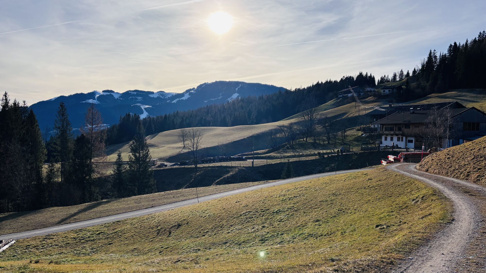

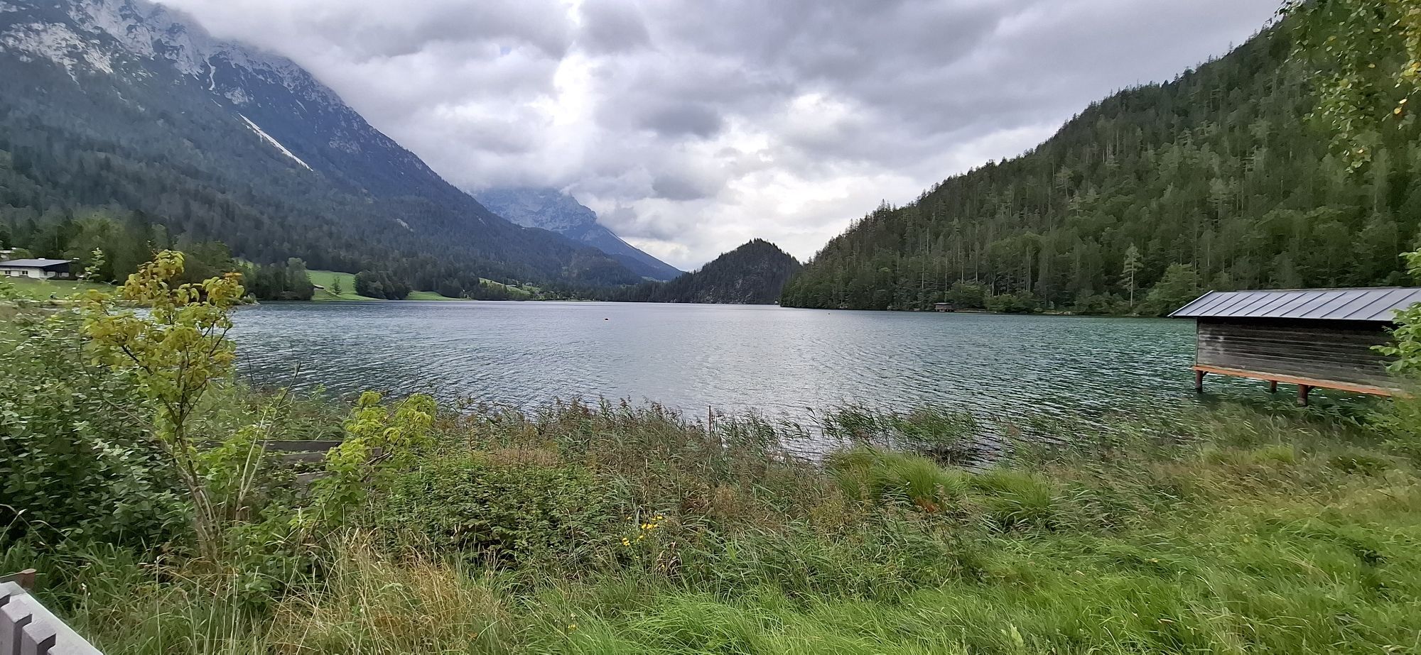
The MTB tour starts at Scheffau Community Hall. Cycle westwards via district Seebach uphill to Obholzhof farm and Greidern. Then eastwards to Hintersteiner See lake and from Seestüberl car park along the...
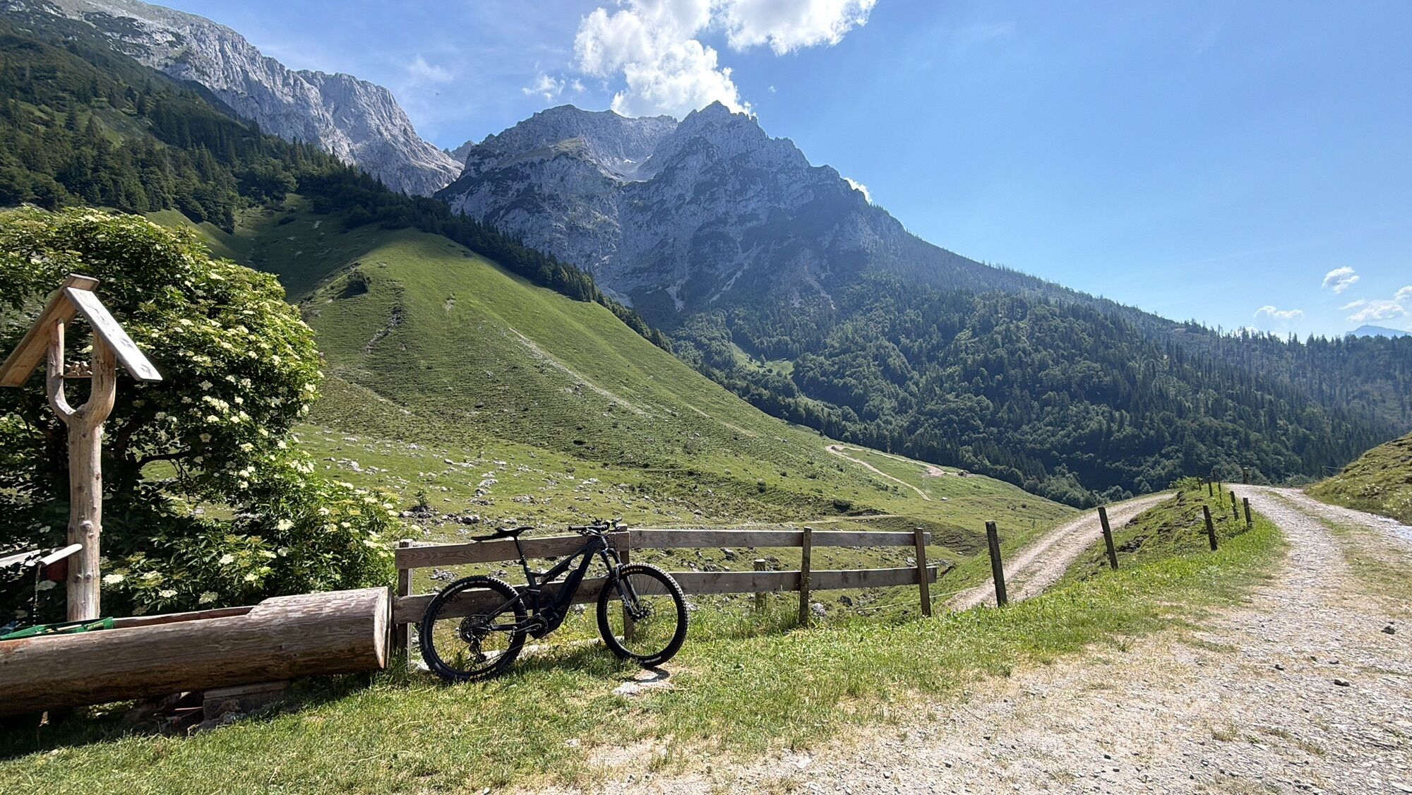
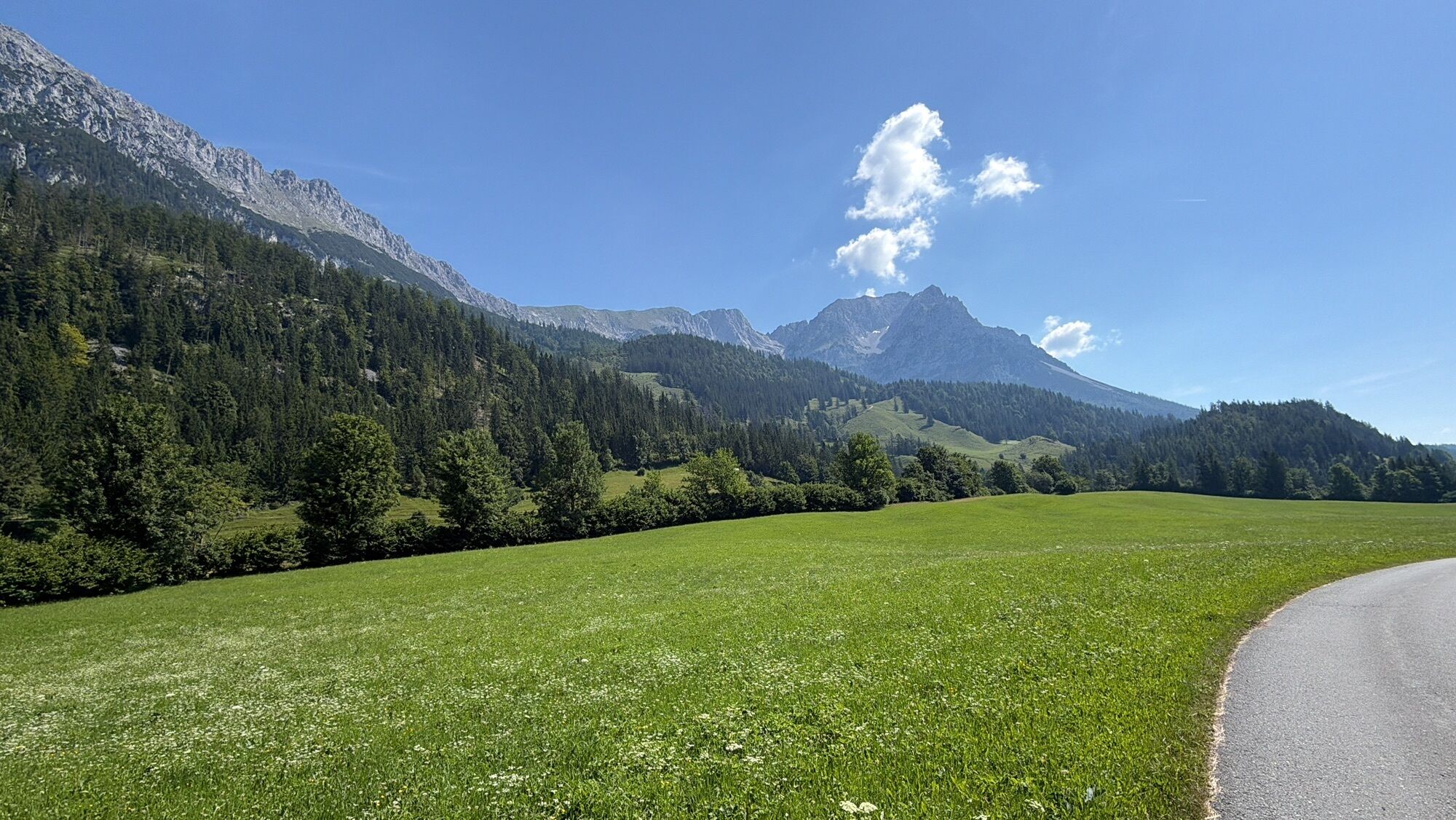
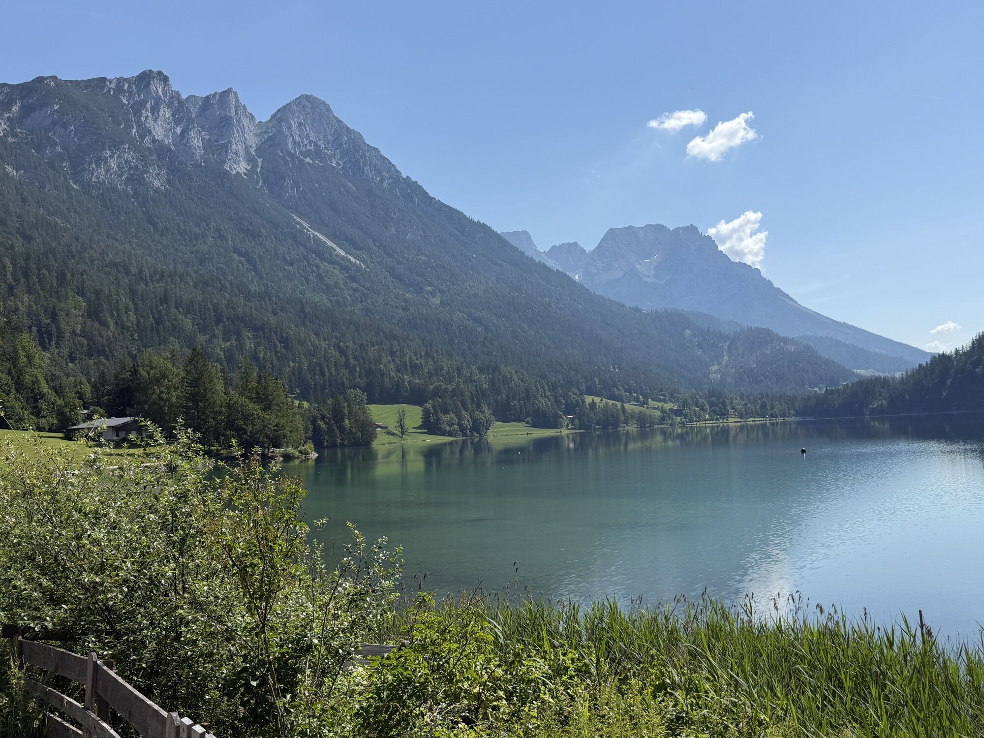
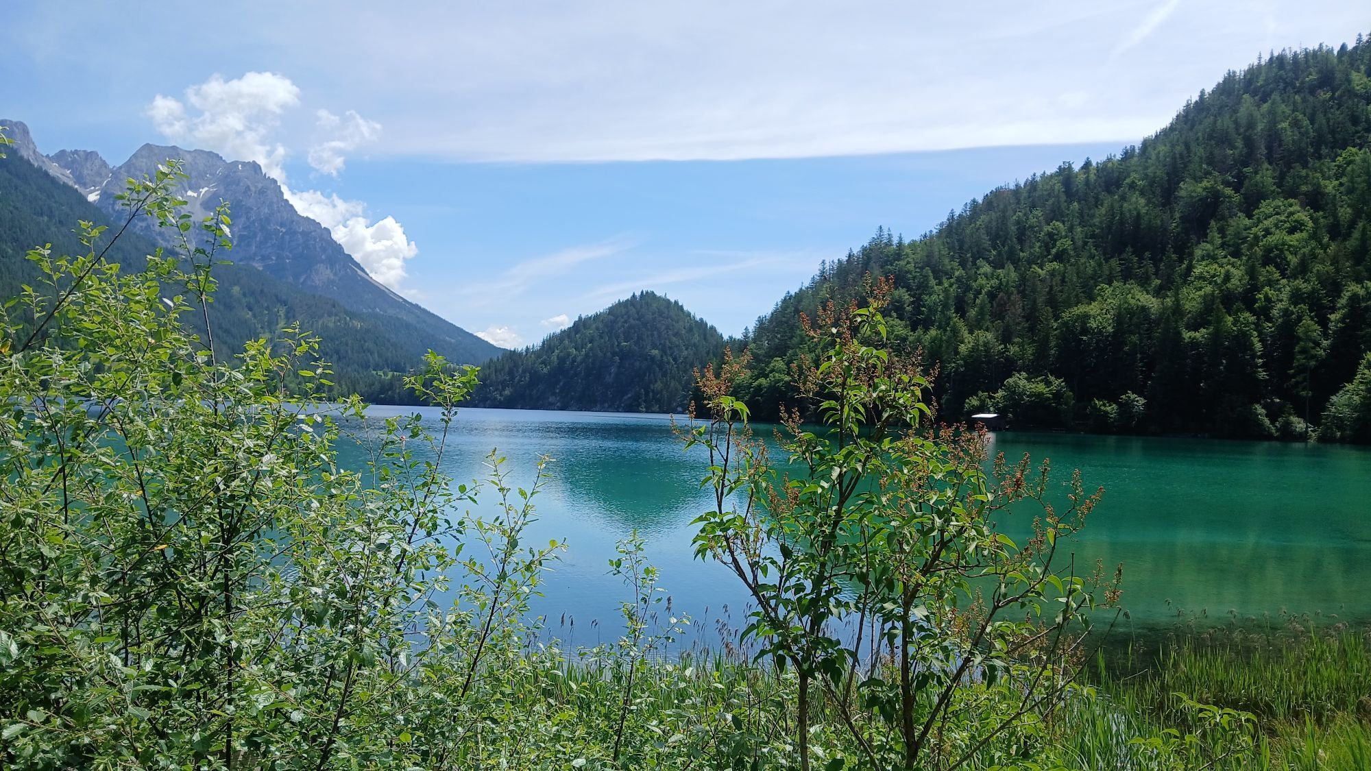
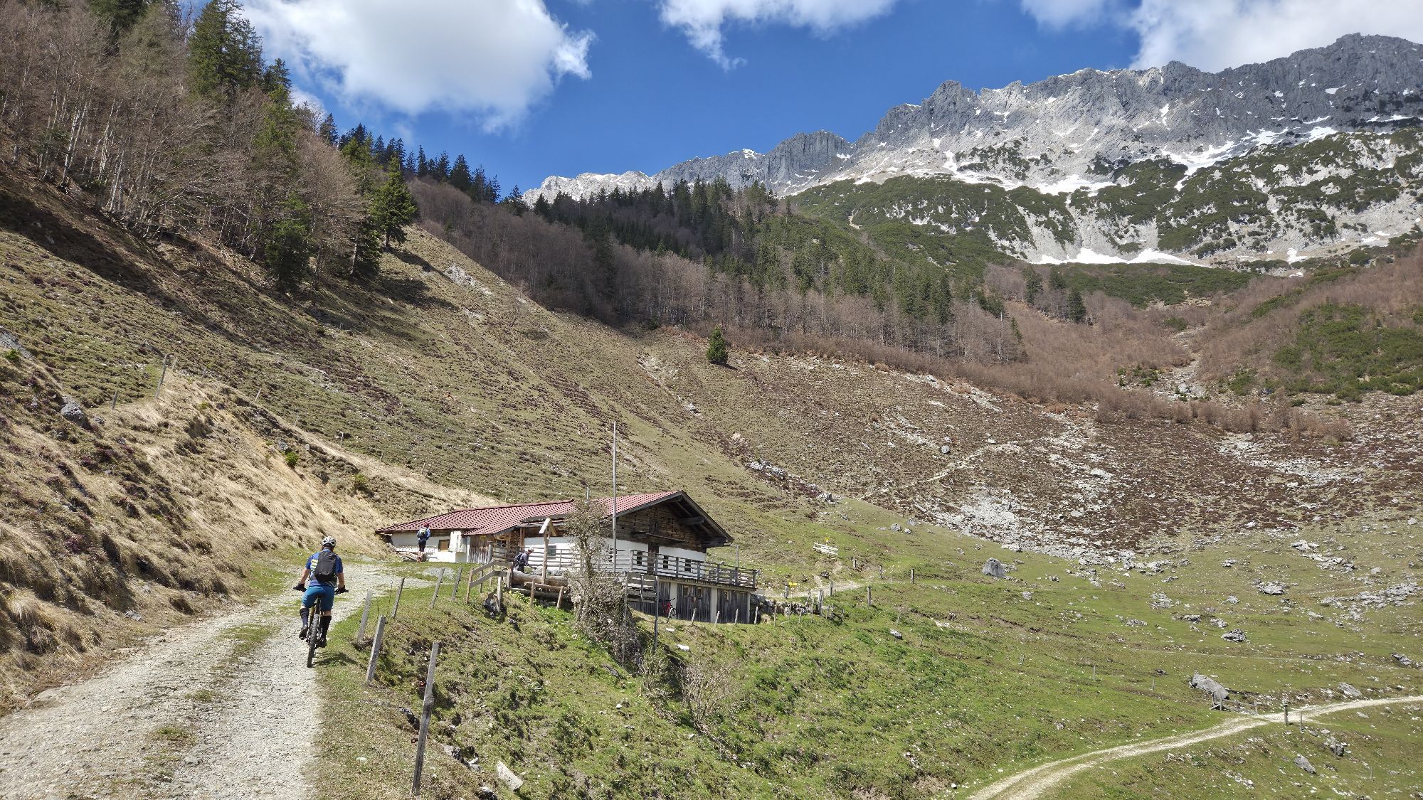
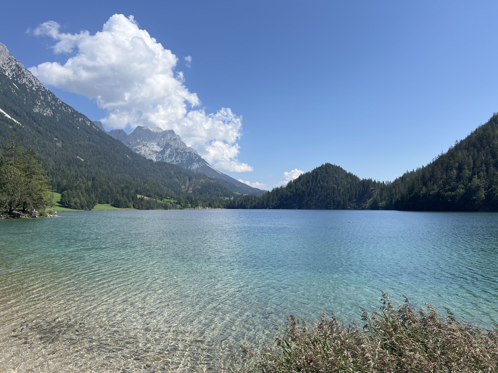
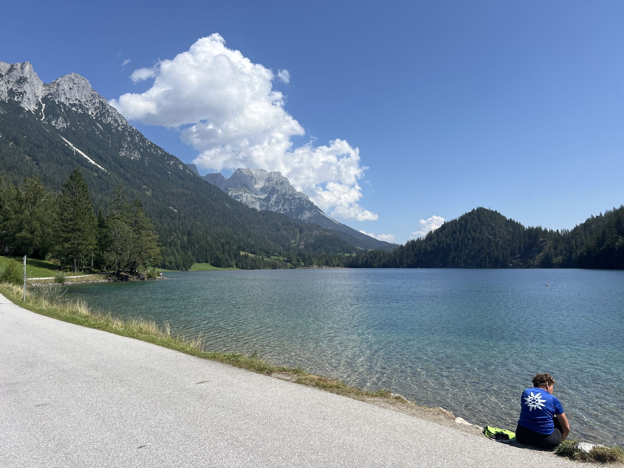
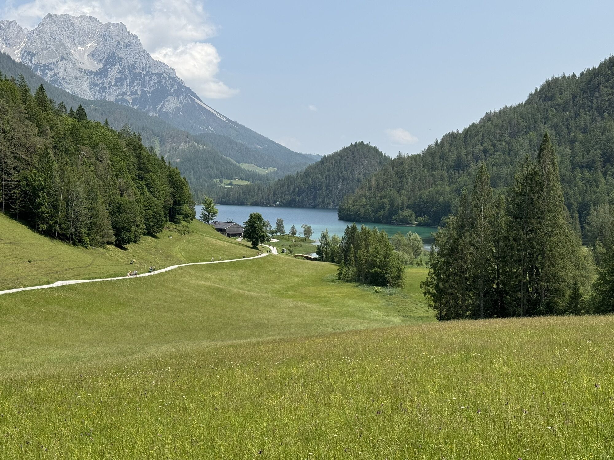
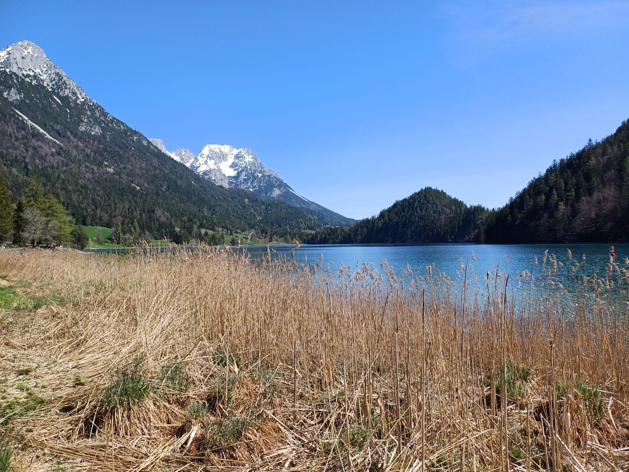
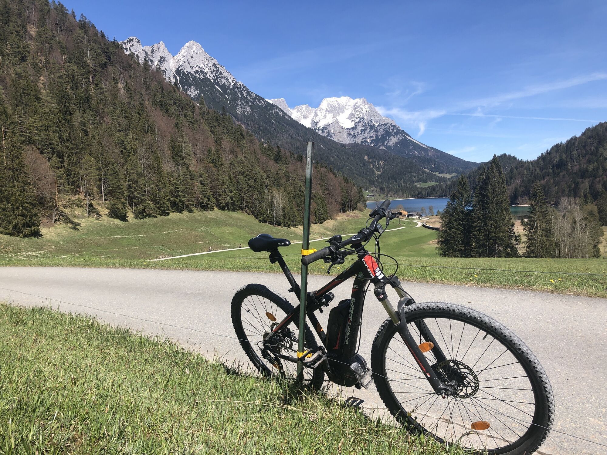
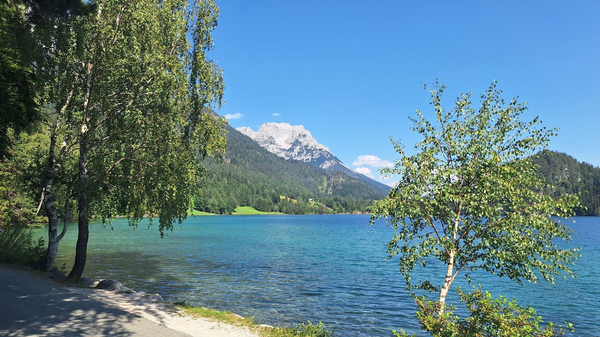
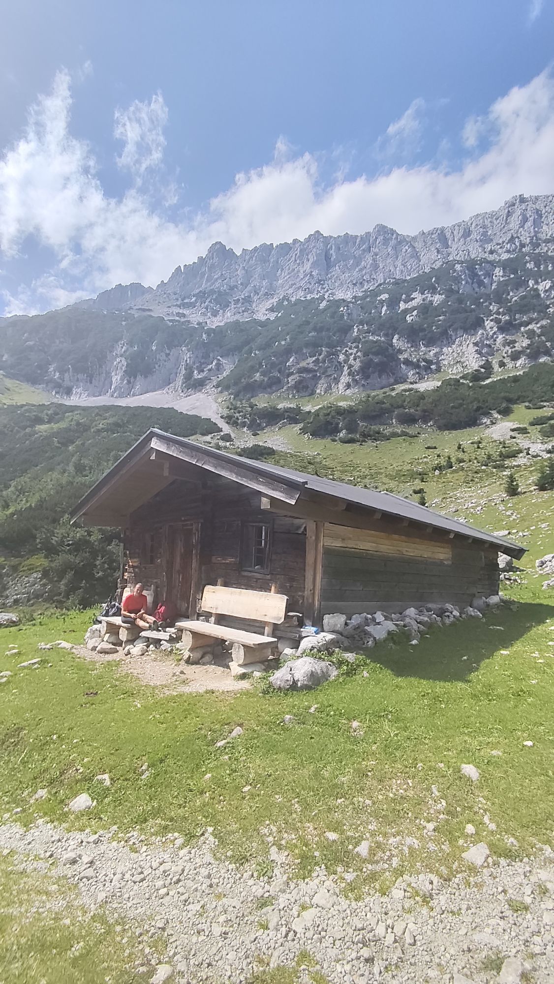
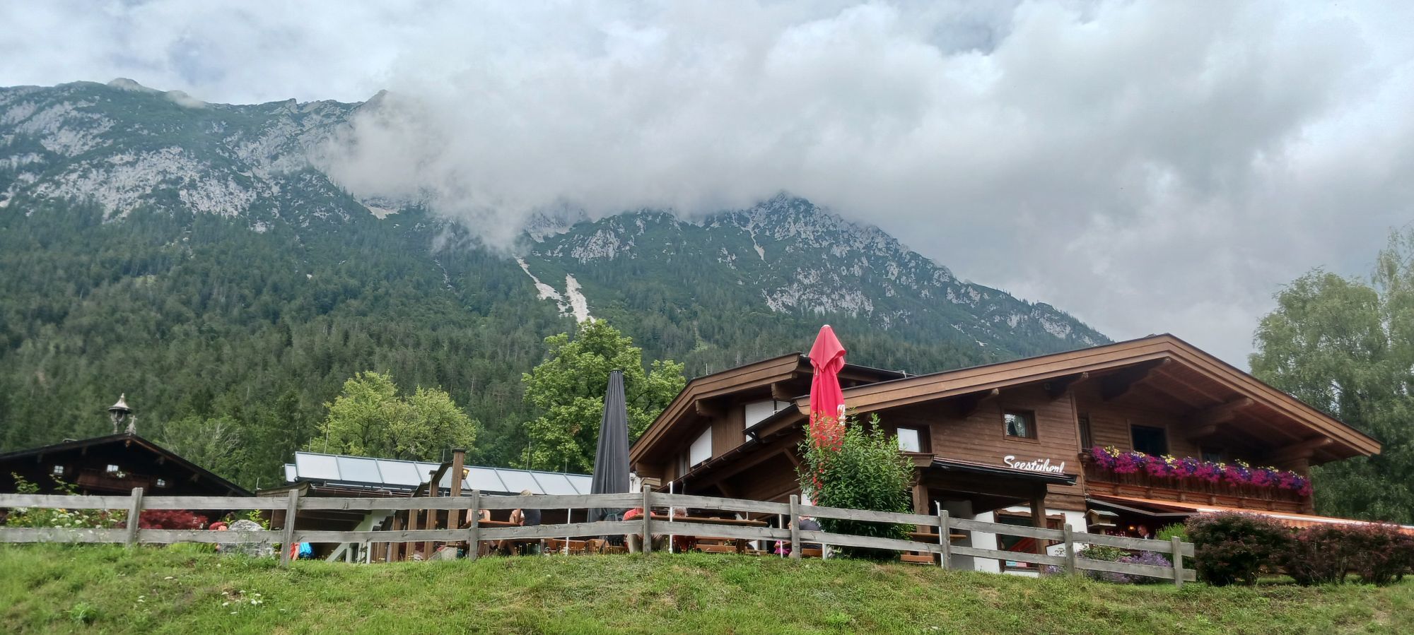
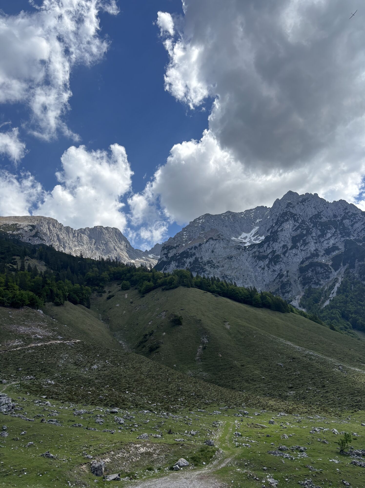
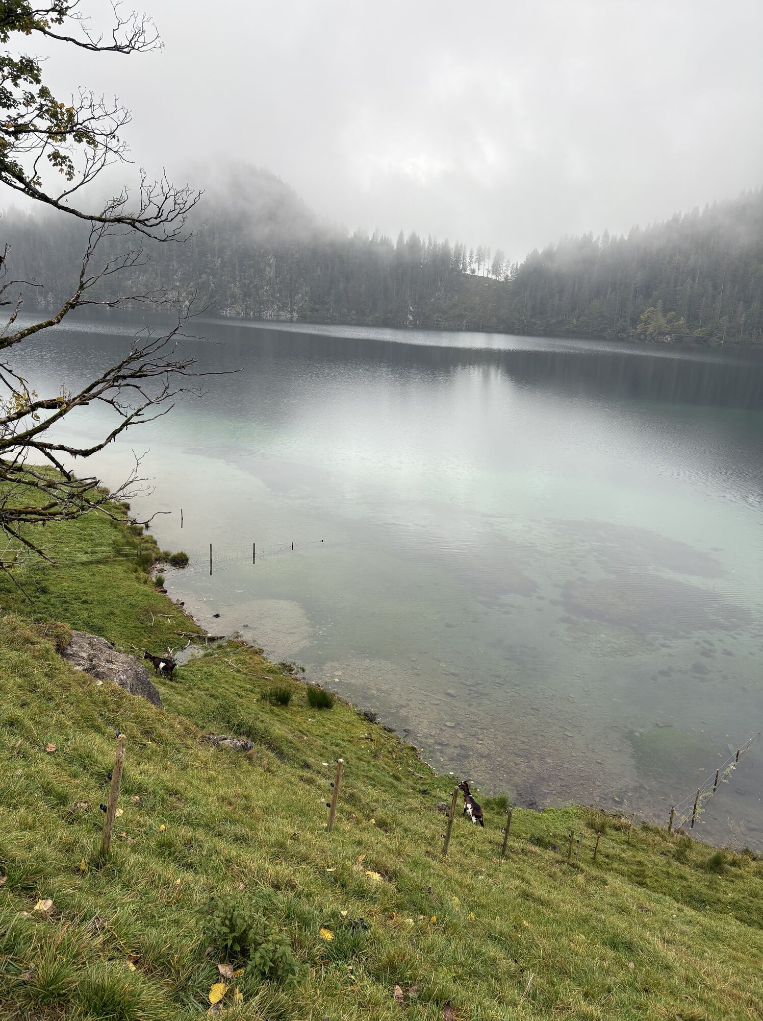
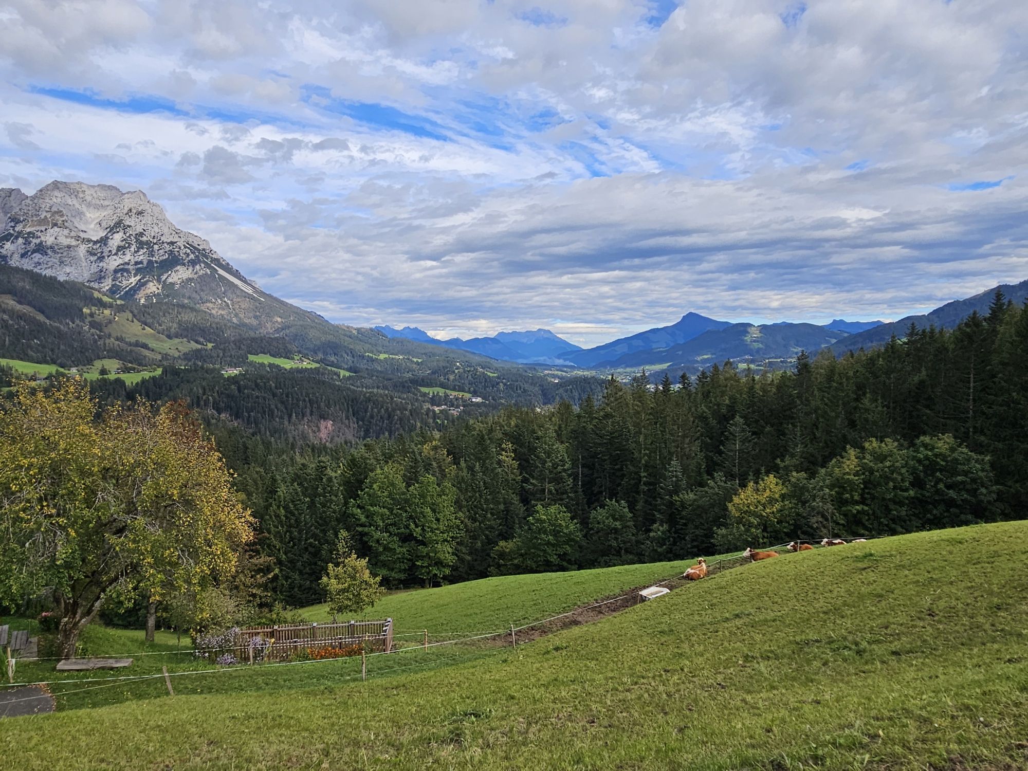
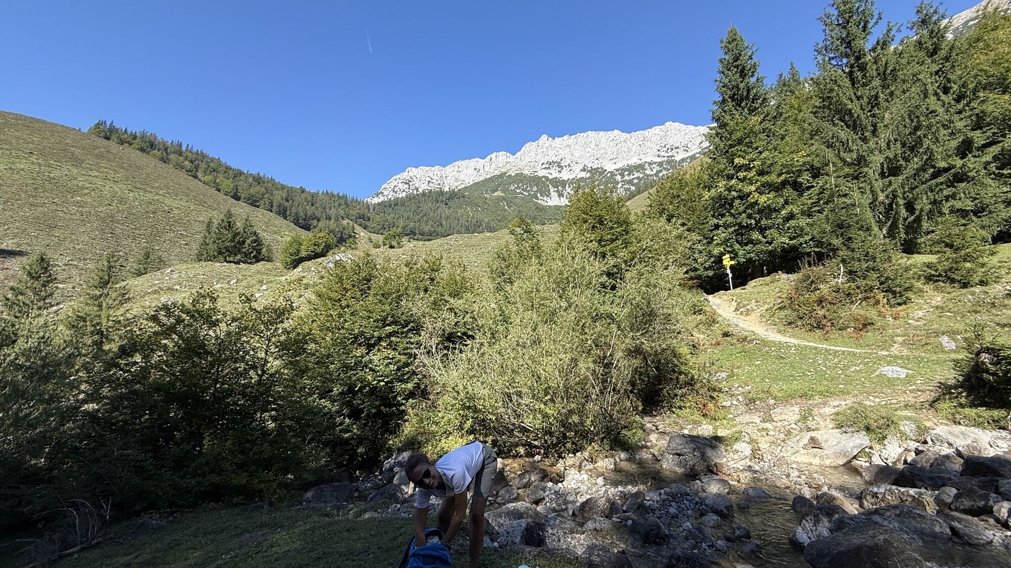
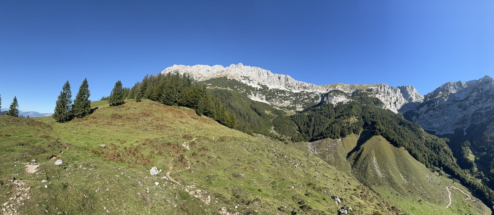
The MTB tour starts at Scheffau Community Hall. Cycle westwards via district Seebach uphill to Obholzhof farm and Greidern. Then eastwards to Hintersteiner See lake and from Seestüberl car park along the lake to Goingstätt refreshment stop/Maier. On the return leg, cycle from Seestüberl restaurant to Bärnstatt, to the Schiesslinghöfe farmhouses and uphill on the forest road to the quaint Kaiseralm mountain hut. Continue downhill on the forest road to the Jägerwirt and back to the village on the asphalt road.
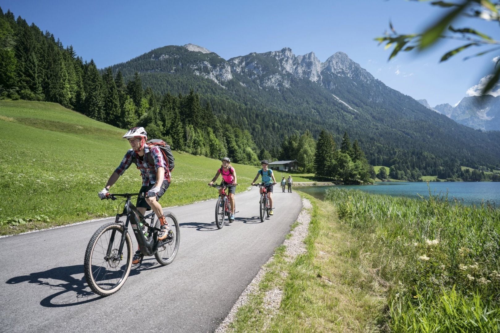
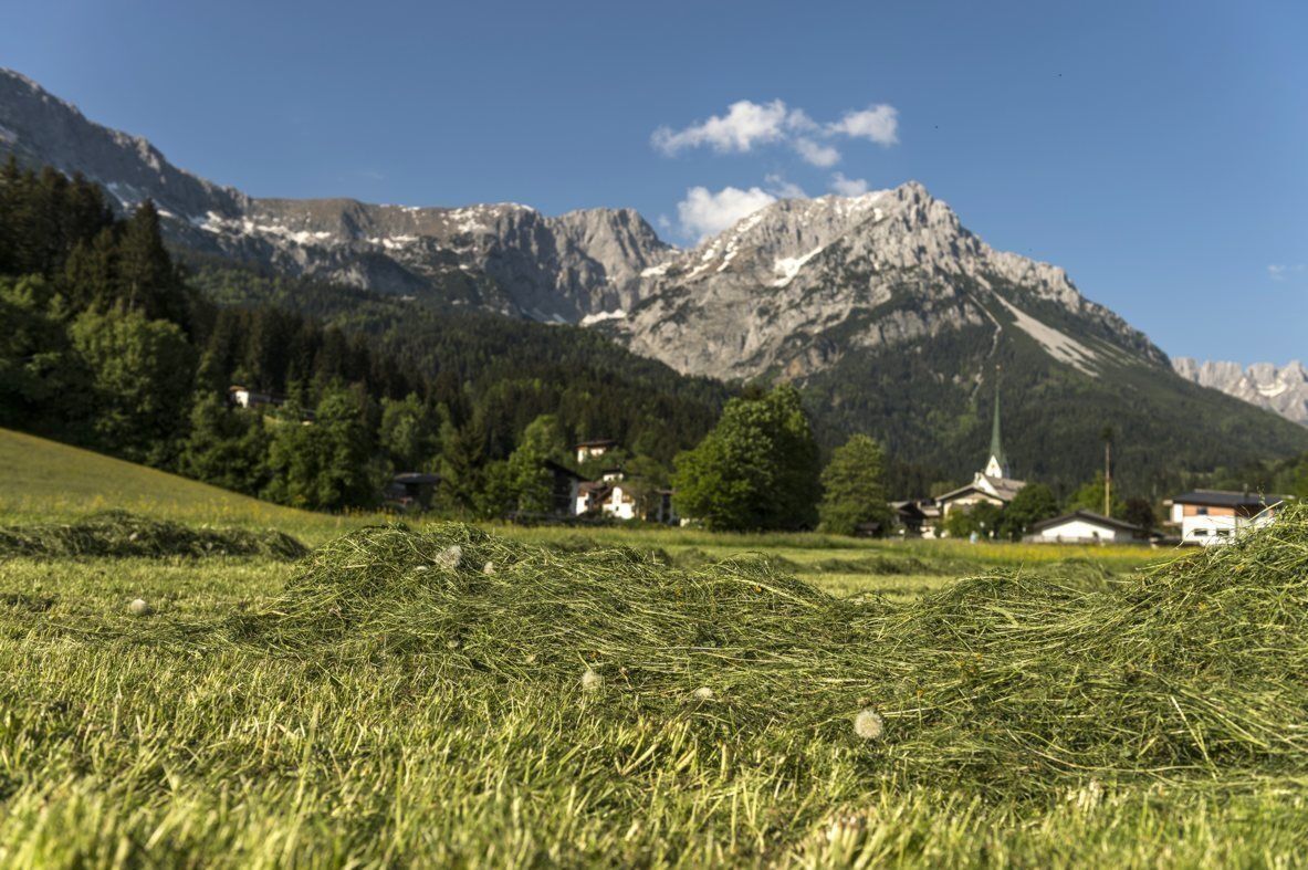
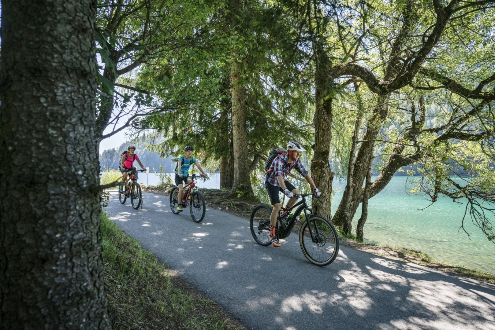
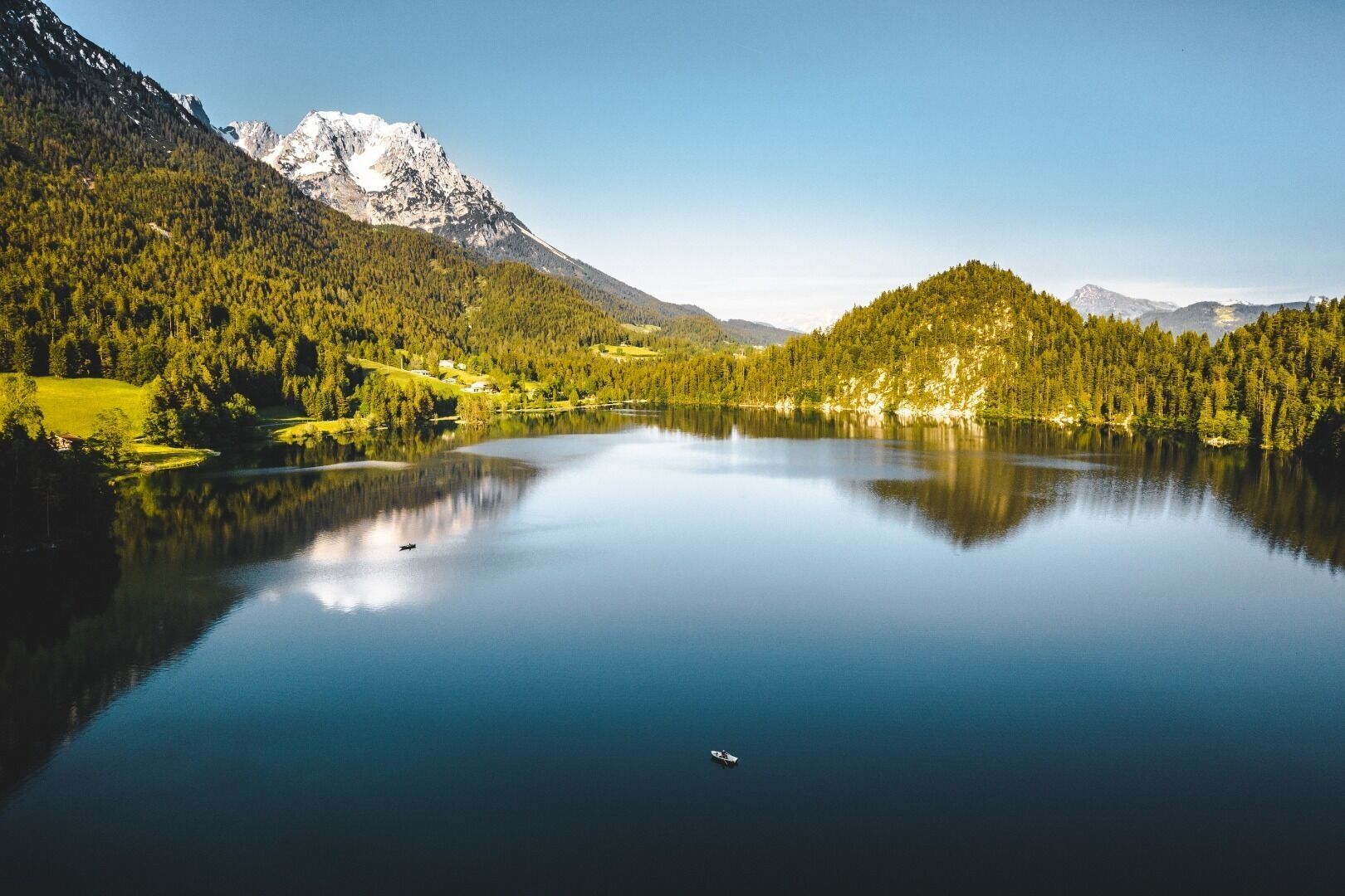
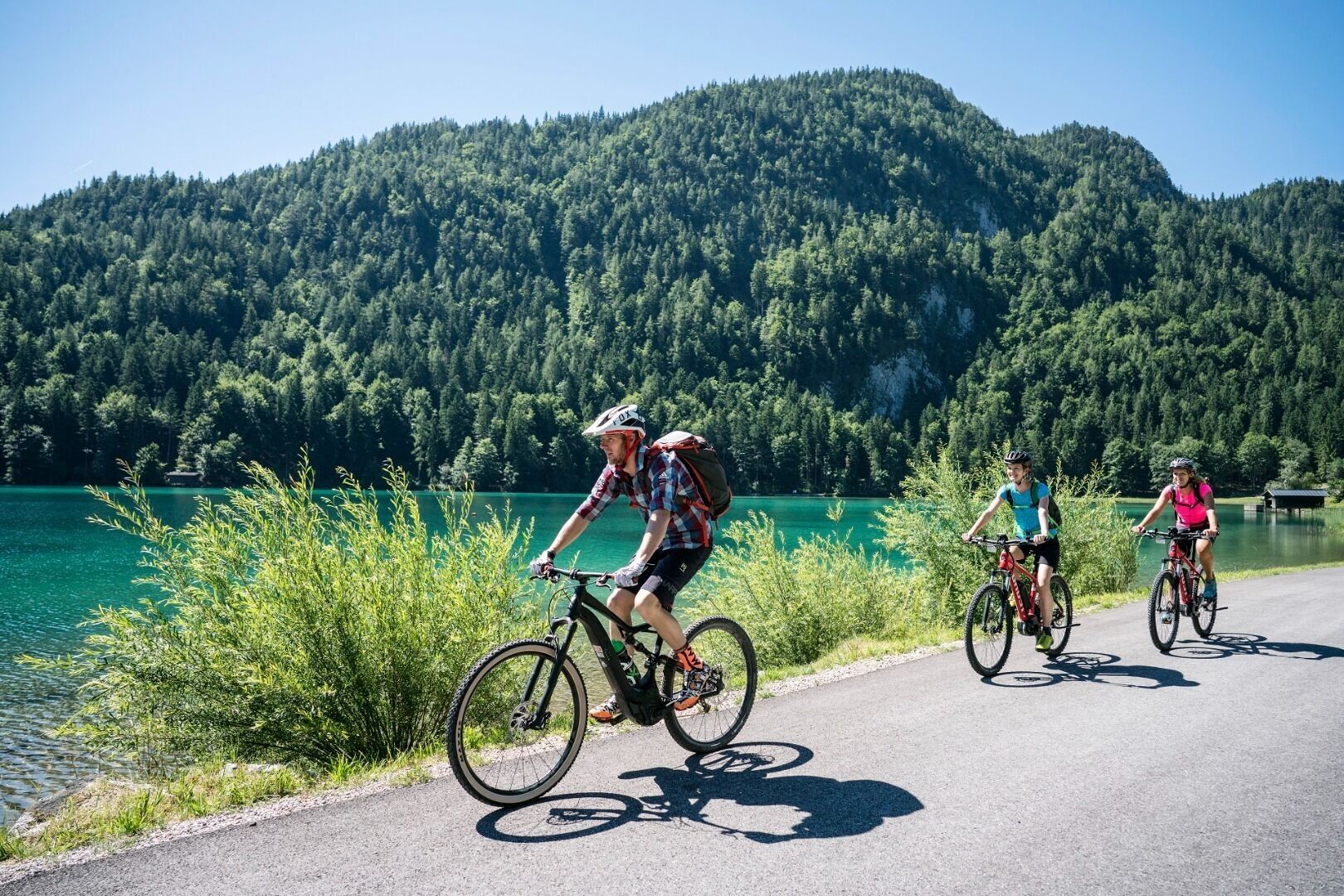
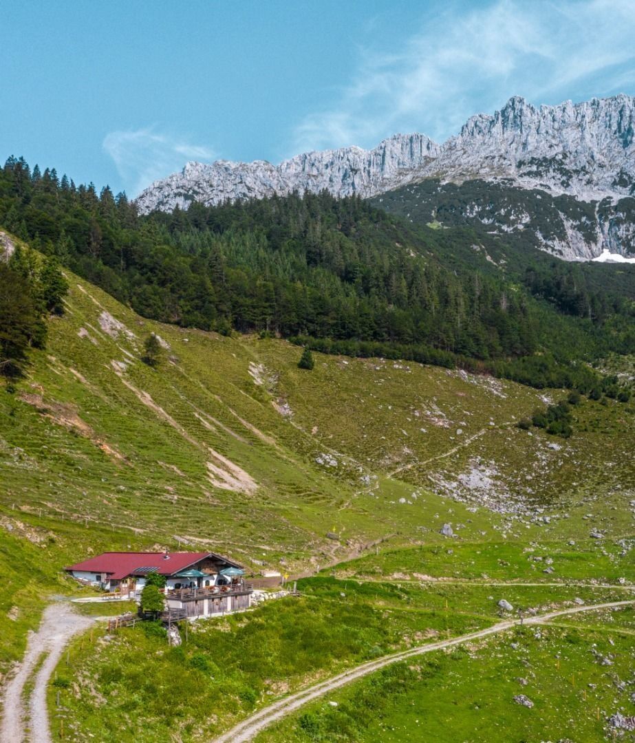

“Mountain bike trail no. 338” starts at Scheffau’s Community Hall/Church (car park). You bike through the Sonnwies district to the Café Rosemarie and then uphill to the Obholzhof farm and Hochegg mountain. You turn right and head downhill to the Hintersteiner See lake. You turn left at the Seestüberl car park and bike alongside the lake to the Pension Maier. The same road takes you back to the Seestüberl restaurant. The route continues via Bärnstatt to the Schiesslinghöfe and uphill to the Kaiseralm mountain hut. It’s then downhill (in parts very steep - you’ll have to push your bike) till you reach the Jägerwirt inn via the Wegscheid-Niederalm mountain hut. From there you take the road back to the village.
Wilder Kaiser hiking map (1:25.000) available in the tourist information centres Ellmau, Going, Scheffau and Söll
Cycle helmet, comfortable cycling clothes, a change of clothes, wind protection, cycling gloves, poss. rucksack with water bottle and food, first aid kit, poss. servicing/repair kit, bike map, route description and information materials (GPX track), ID, insurance card, cash
Heading from Wörgl, Kufstein or St. Johann on the B178 road, take the exit to Scheffau. Turn left immediately after the church, then drive past the community hall where you reach the public car park on the right-hand side.
Public car park, Scheffau (740 m), north of the Community Hall - free
Kamery internetowe z trasy
Uzyskaj wgląd
Zawsze na żywo z ponad 9 500 kamer internetowych. bergfex Jako użytkownik Pro, możesz teraz zobaczyć odpowiednie kamery internetowe dla wielu wycieczek w aplikacji wycieczki od. Pozwala to na bezpośredni podgląd aktualnych warunków.


Popularne wycieczki w okolicy
-
4,9
Schleierwasserfall Runde
średniWędrówka 5,63 km -
4,9
Route 209: Brechhornhaus-Choralpe
ciężkiMountainbike 24,4 km -
5,0
Stripsenjoch Klettersteige/ Rundwanderung von Griesener Alm über Stripsenjochhaus und Feldberg
średniVia ferrata 10,2 km -
4,8
Gruttenhütte über Klammlweg
średniWędrówka 5,61 km -
4,8
Ellmauer Tor (22.07.2020)
średniWędrówka 9,32 km -
4,7
Musikantensteig zur Naunspitze
średniWędrówka 8,96 km -
4,9
Kirchdorf: Kaiserbachtal - Stripsenkopf und Feldberg
ciężkiWędrówka 12,6 km -
4,7
Hintersteinersee
średniWędrówka 9,87 km -
4,6
Über Hintersteinersee und Walleralm aufs Hochegg
światłoWędrówka 12,2 km -
4,5
Wanderung um den Hintersteinersee
światłoWędrówka 5,29 km
Wędrówki i tropienie


Nie przegap ofert i inspiracji na następne wakacje
Twój adres e-mail została dodana do listy mailingowej.





