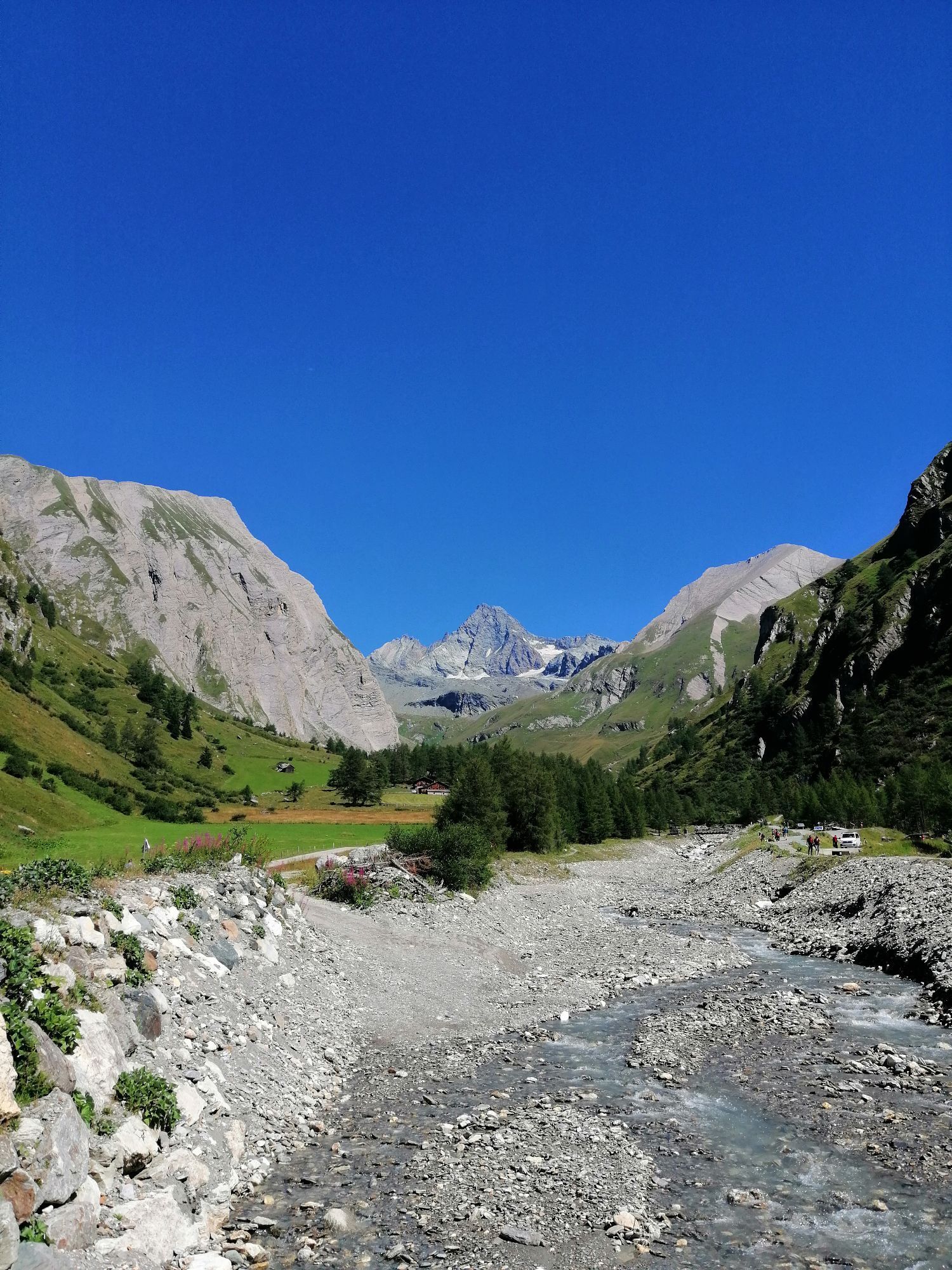
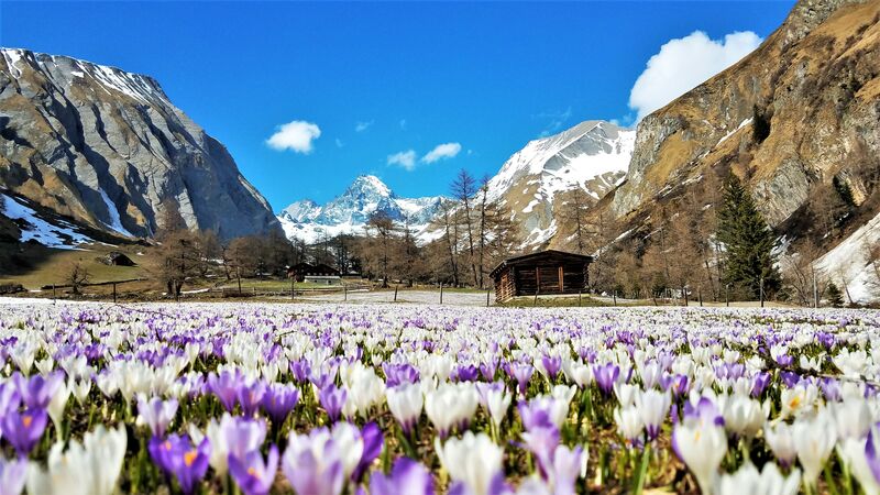
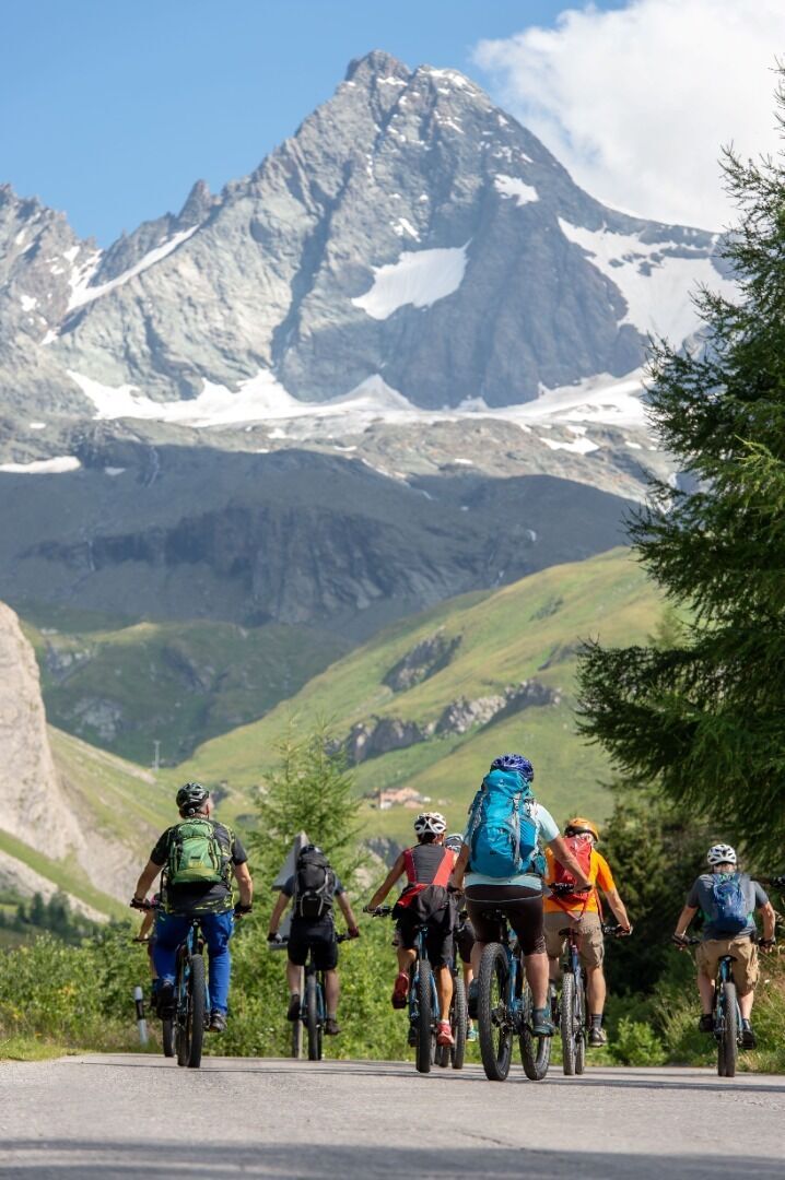
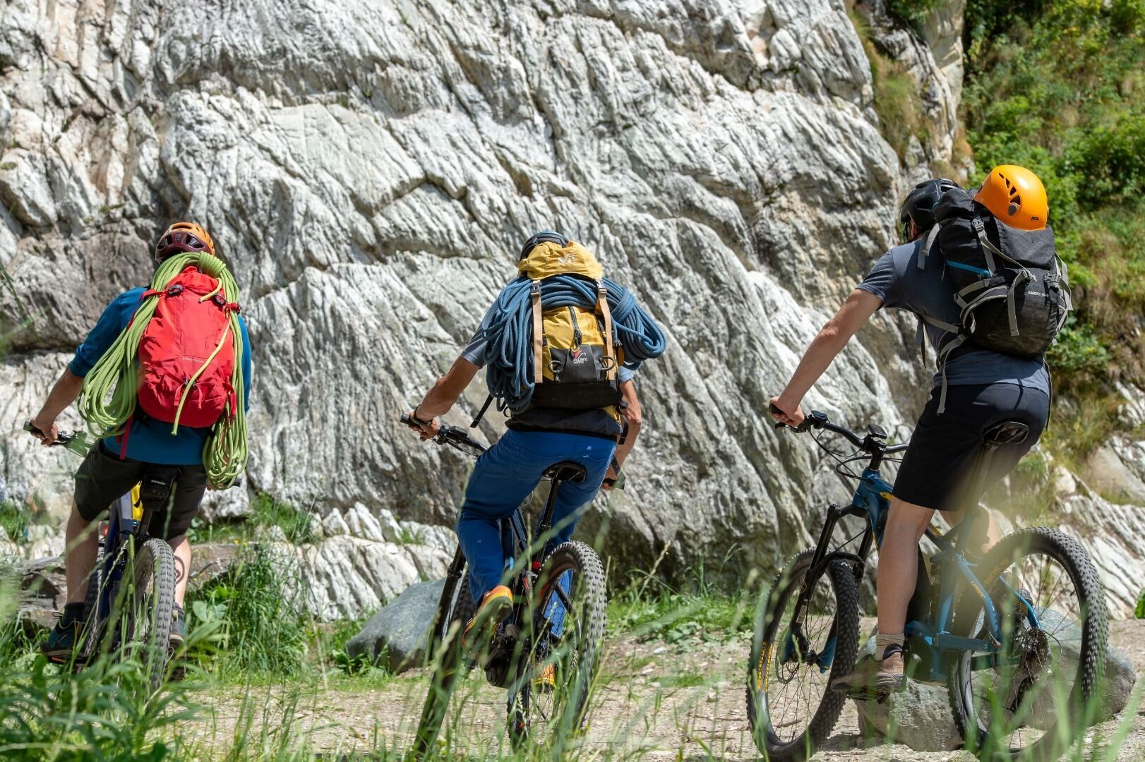
Lucknerhaus circuit No. 117
średni
Pobierz tę trasę na swój telefon komórkowy
Lucknerhaus circuit No. 117
średni
Mountainbike
13,72
km
Zeskanuj kod QR i rozpocznij nawigację w aplikacji bergfex.

Wędrówki i tropienie


Lucknerhaus circuit No. 117
średni
Odległość
13,72
km
Czas trwania
02:10
h
Ascent
582
hm
Poziom morza
1 330 -
1 918
m
Ścieżka do pobrania
Lucknerhaus circuit No. 117
średni
Mountainbike
13,72
km


From the center of Kals, right next to the Mpreis supermarket, drive past the white Schützendenkmal monument, between the houses on the left onto a narrow asphalt road, then turn left uphill towards Glor....
Opis
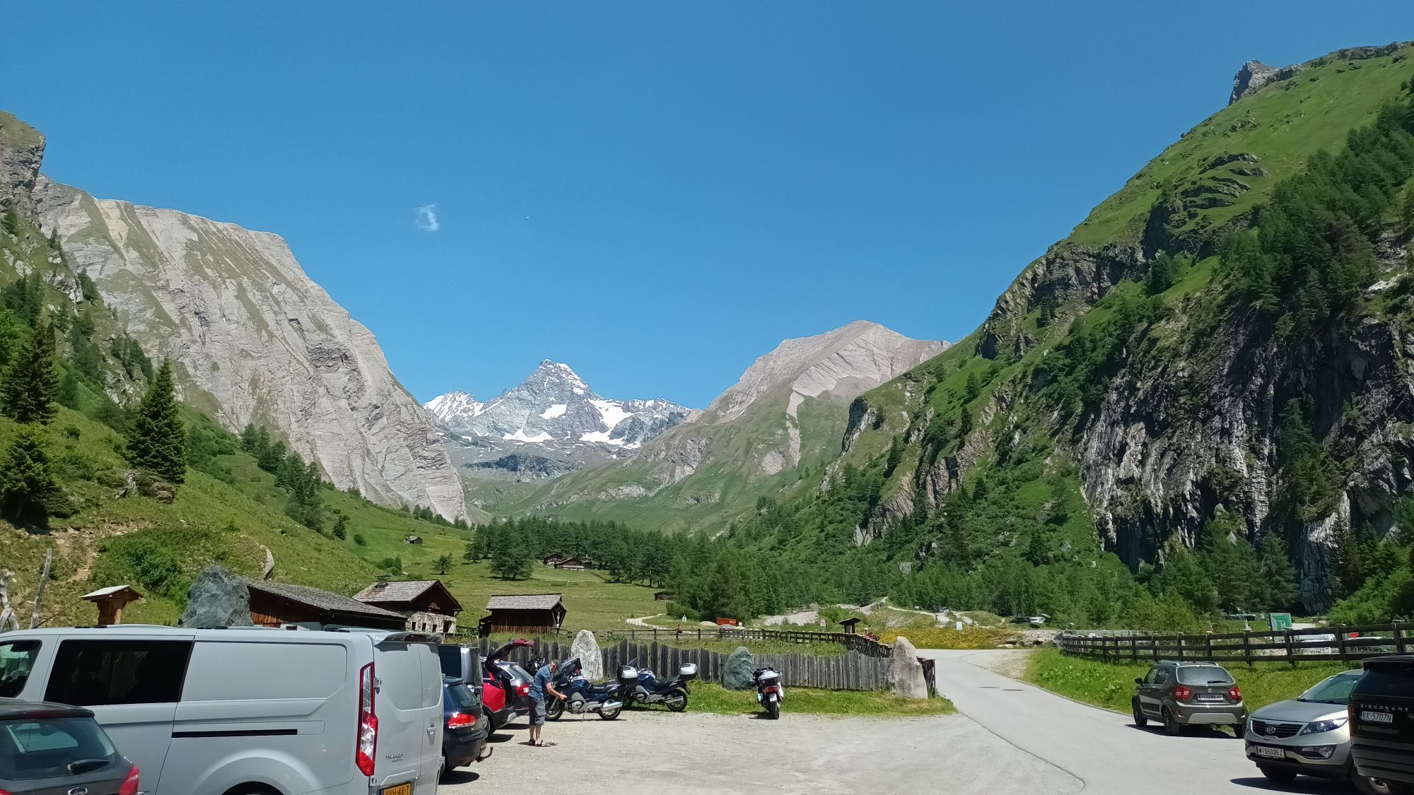
From the center of Kals, right next to the Mpreis supermarket, drive past the white Schützendenkmal monument, between the houses on the left onto a narrow asphalt road, then turn left uphill towards Glor. In Glor, after the last house on the left, the old Lucknerhausstraße (steeply ascending forest road) begins, leading to the junction with the new Kalser Glocknerstraße (asphalted). Here, turn right onto the asphalted Lucknerhausstraße, continue for about 1 km to the Glocknerwinkel car park and cross the bridge on the left to the Alpengasthof Lucknerhaus.
Trasa
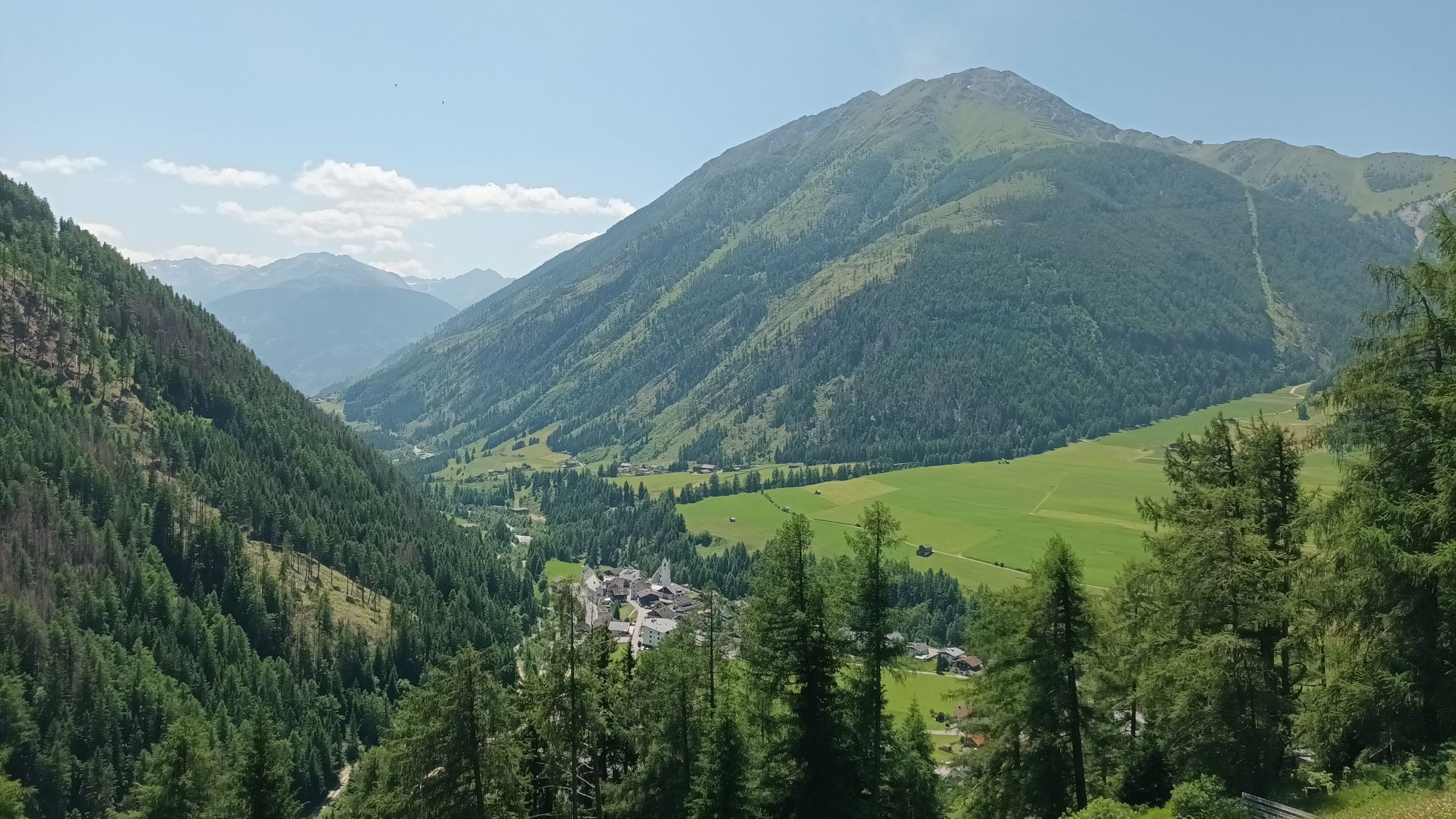
Ködnitz
(1 323 m)
Rozliczenie
0,0 km
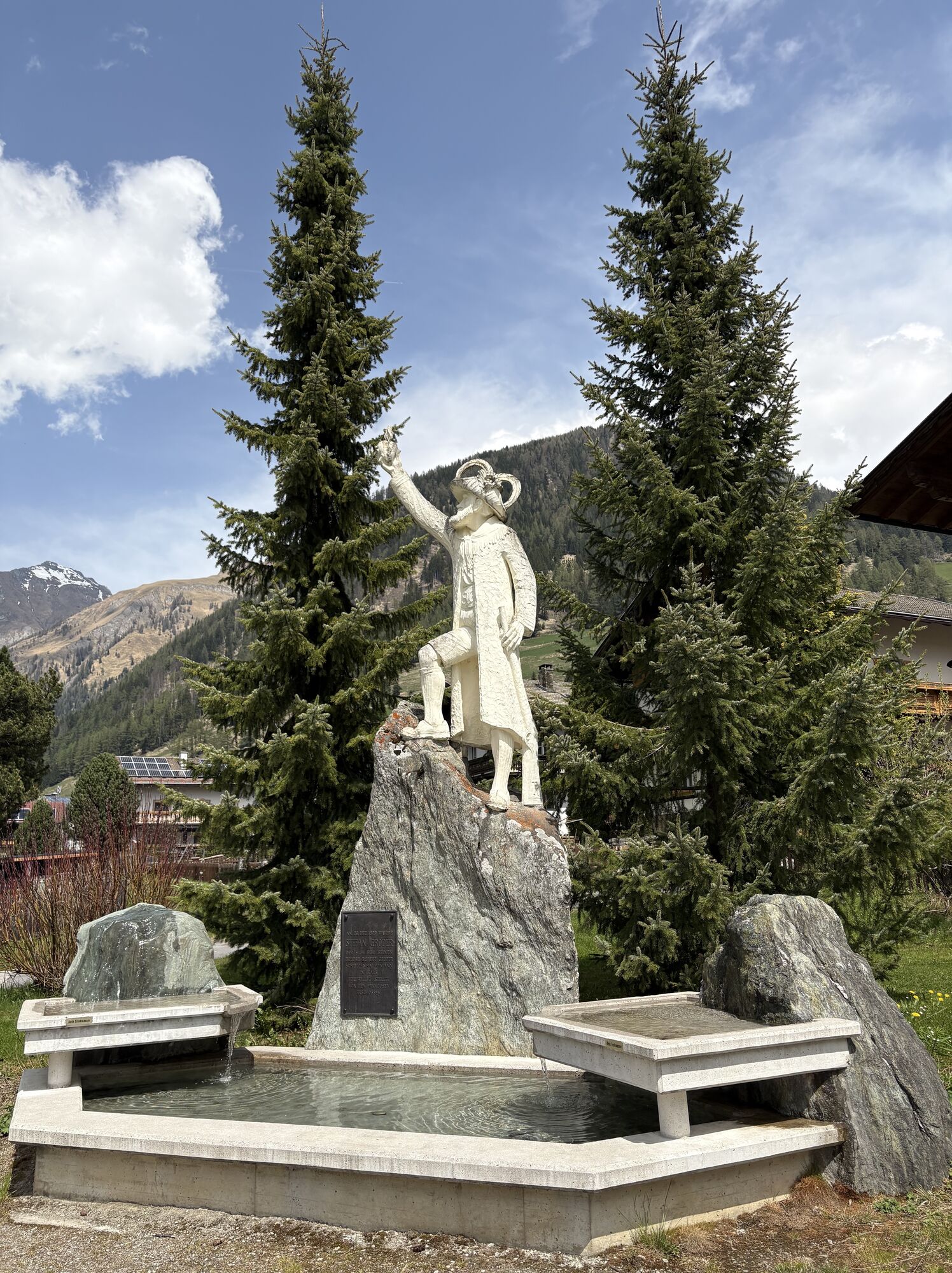
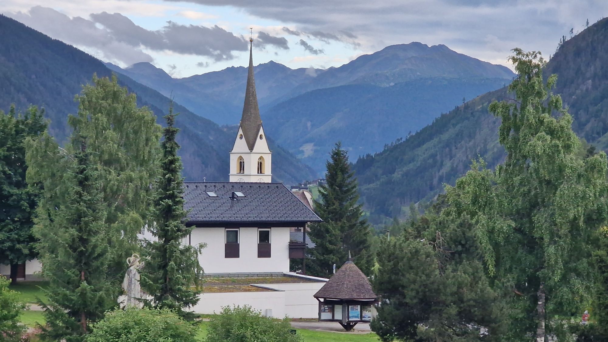
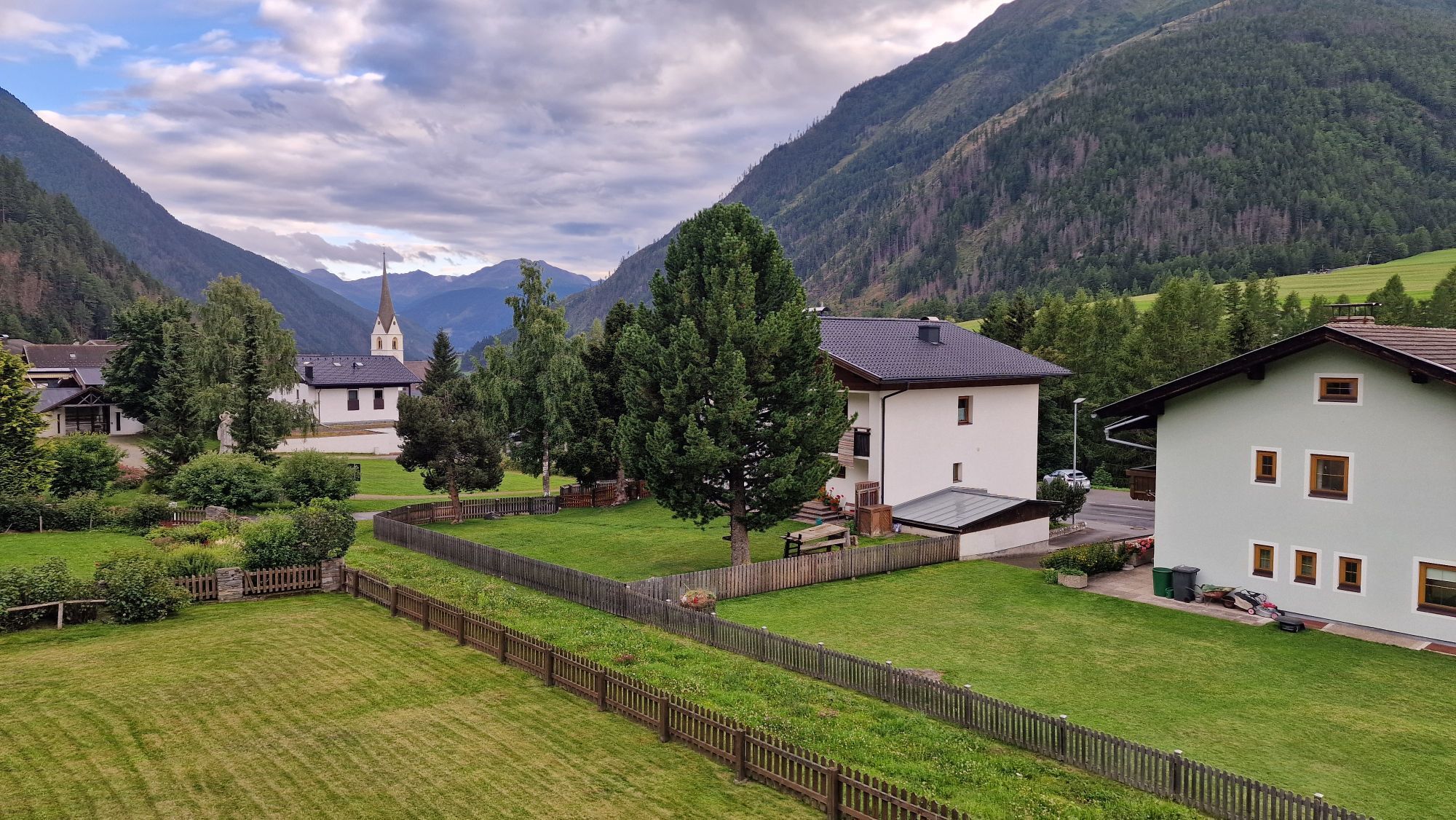
Kals am Großglockner
(1 340 m)
Wioska
0,1 km
Glor
(1 437 m)
Wioska
0,7 km
Berg
(1 717 m)
Wioska
3,2 km
Unterburg
(1 336 m)
Rozliczenie
12,7 km
Pfarrkirche
(1 324 m)
Miejsce kultu
13,7 km
Ködnitz
(1 323 m)
Rozliczenie
13,7 km
Trasa
Lucknerhaus circuit No. 117
średni
Mountainbike
13,72
km
Gasthof Ködnitzhof
(1 330 m)
Restauracja
0,0 km
Ködnitz
(1 323 m)
Rozliczenie
0,0 km
Kalser Eck
(1 333 m)
Restauracja
0,0 km
Kals am Großglockner
(1 340 m)
Wioska
0,1 km
Glor
(1 437 m)
Wioska
0,7 km
Berg
(1 717 m)
Wioska
3,2 km
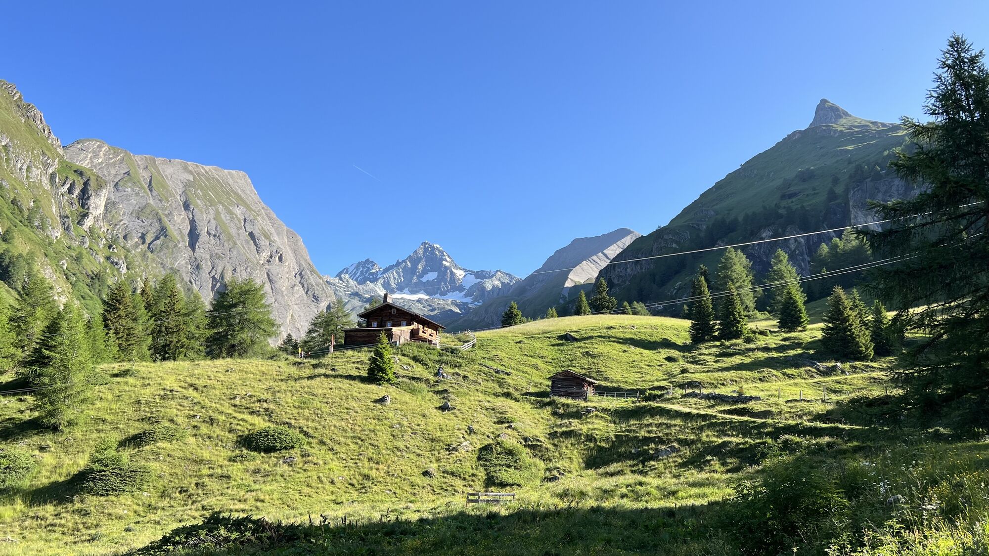
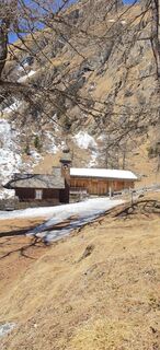
Lucknerhaus
(1 918 m)
Restauracja
5,4 km
Glor
(1 437 m)
Wioska
11,2 km
Großdorf
(1 360 m)
Wioska
12,6 km
Unterburg
(1 336 m)
Rozliczenie
12,7 km
Kals am Großglockner
(1 340 m)
Wioska
13,5 km
Kalser Eck
(1 333 m)
Restauracja
13,6 km
Pfarrkirche
(1 324 m)
Miejsce kultu
13,7 km
Ködnitz
(1 323 m)
Rozliczenie
13,7 km
Gasthof Ködnitzhof
(1 330 m)
Restauracja
13,7 km
Informacje o przyjeździe
Transport publiczny
Kals a.G. Gemeindeamt
Parking
Parkplatz Kals Zentrum
Wyceny


Popularne wycieczki w okolicy
-
4,9
Wangennitzsee Hütte
średniWędrówka 3,80 km -
4,5
Circular hike Proßeggklamm
średniWędrówka 8,41 km -
4,9
Glockner
średniWycieczka wysokogórska 19 km -
4,7
Glödis 3206m: PP Seichenbrunn, Lienzer Hütte, Glödis KS A/B
ciężkiWycieczka wysokogórska 16,1 km -
5,0
Figerhorn, 2743m, Lucknerhaus
średniWędrówka 6,69 km -
5,0
Rotenkogel
ciężkiWędrówka 4,22 km -
4,1
Glacier Route to the Pasterze with Gamsgrubenweg (up to Tunnel 6)
średniWędrówka 8,05 km -
4,3
Stüdlhütte -Großglockner
Wędrówka 4,68 km -
4,9
Kaiser-Franz-Josefs-Höhe to Oberwalderhütte
ciężkiWędrówka 5,52 km -
4,2
Lucknerhaus zur Glorerhütte über Lucknerhütte zurück
średniWędrówka 11,2 km
Wędrówki i tropienie

Ponad 550.000 propozycji wycieczek, szczegółowe mapy i intuicyjny planer tras sprawiają, że aplikacja jest niezbędna dla wszystkich entuzjastów przyrody.

Nie przegap ofert i inspiracji na następne wakacje
Zapisz się do newslettera
Błąd
Wystąpił błąd. Spróbuj ponownie.
Dziękujemy za rejestrację
Twój adres e-mail została dodana do listy mailingowej.
Wycieczki po całej Europie
Austria
Szwajcaria
Niemcy
Włochy
Słowenię
Francja
Holandia
Belgia
Polska
Liechtenstein
Czechy
Słowacja
Hiszpania
Chorwacja
Bośnia i Hercegowina
Luksemburg
Andorra
Portugalia
Islandia
Wielka Brytania
Irlandia
Grecja
Albania
Macedonia Północna
Malta
Norwegia
Czarnogóra
Mołdawia
Kosowo
Węgry
San Marino
Rumunia
Estonia
Łotwa
Białoruś
Cypr
Litwa
Serbia
Bułgaria
Monako
Dania
Szwecja
Finlandia