






Mountain bike route: Lenzenalm
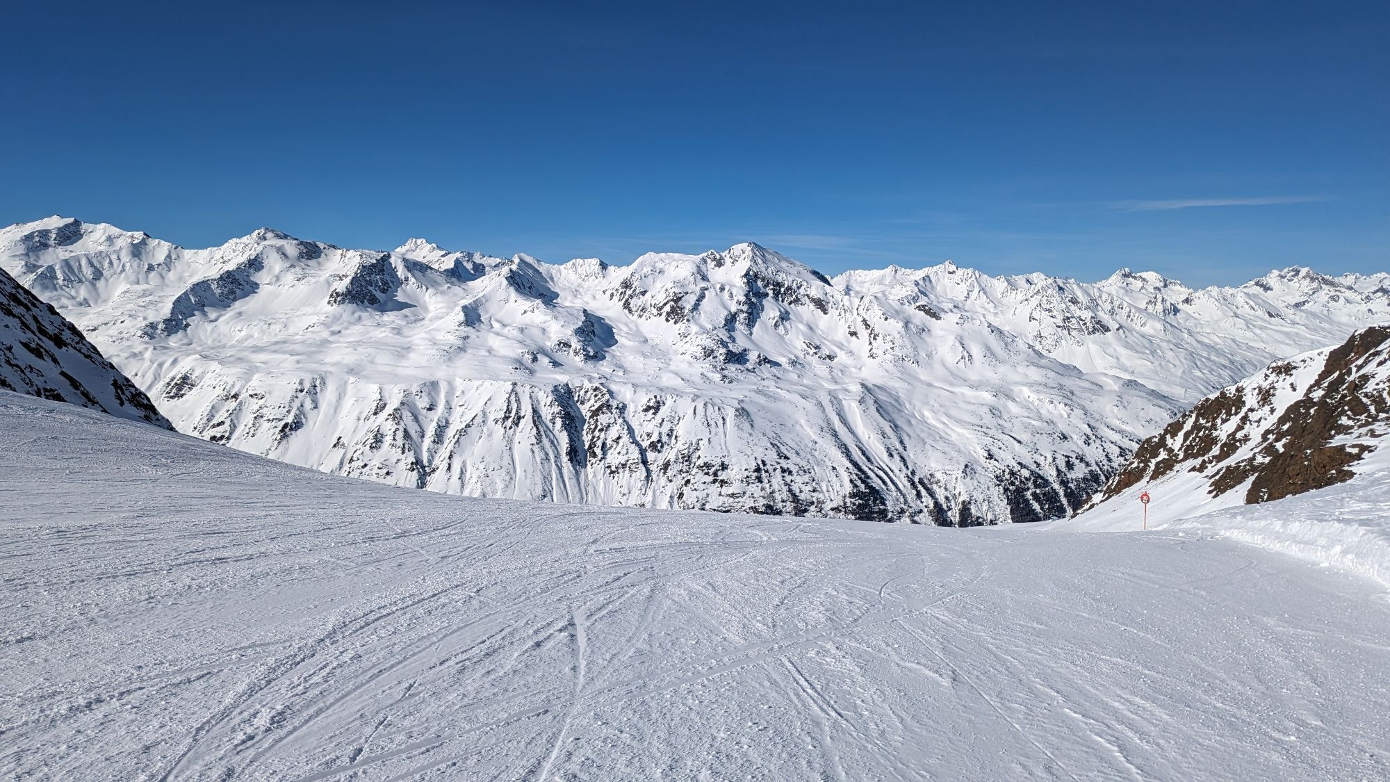
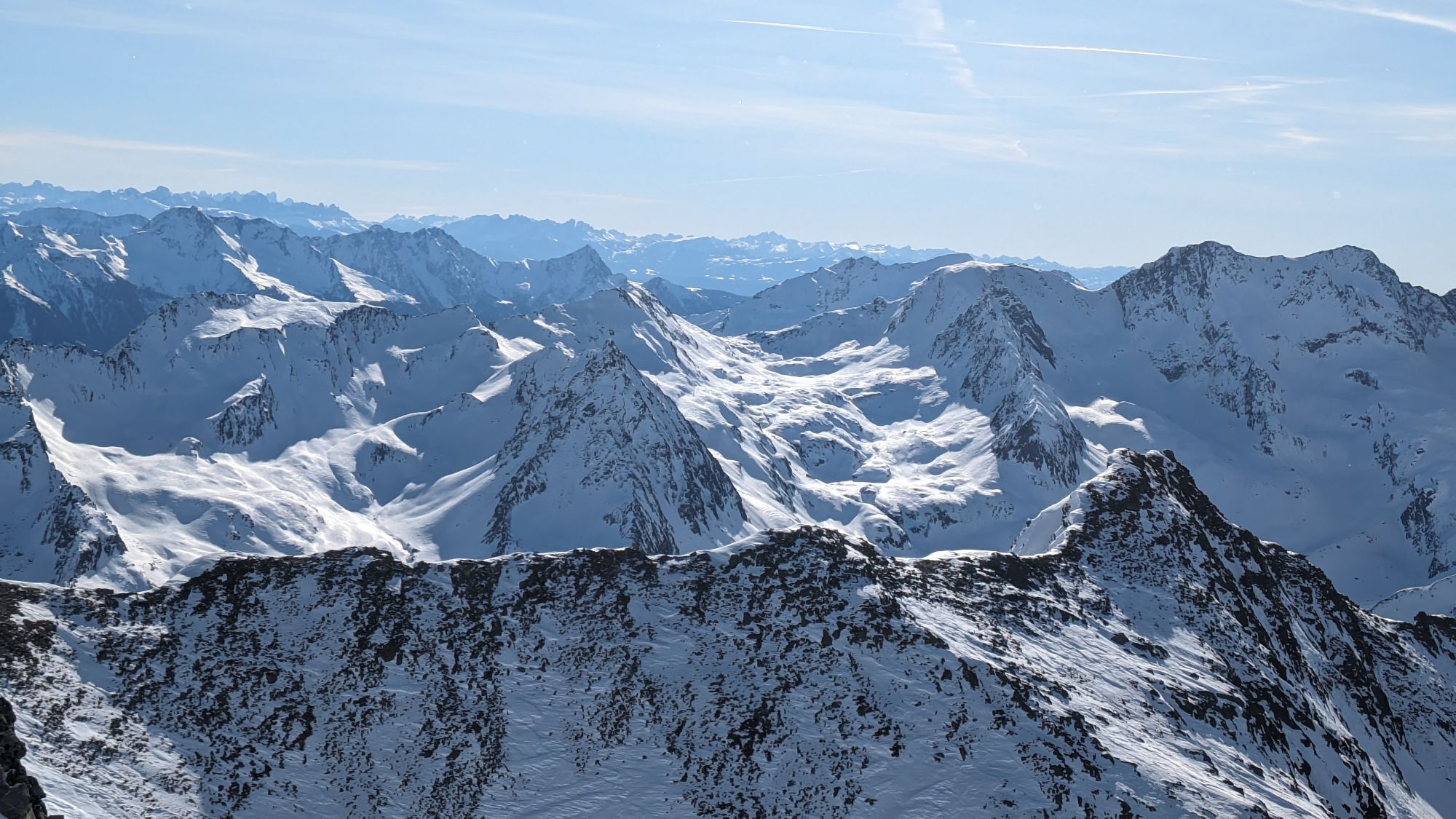
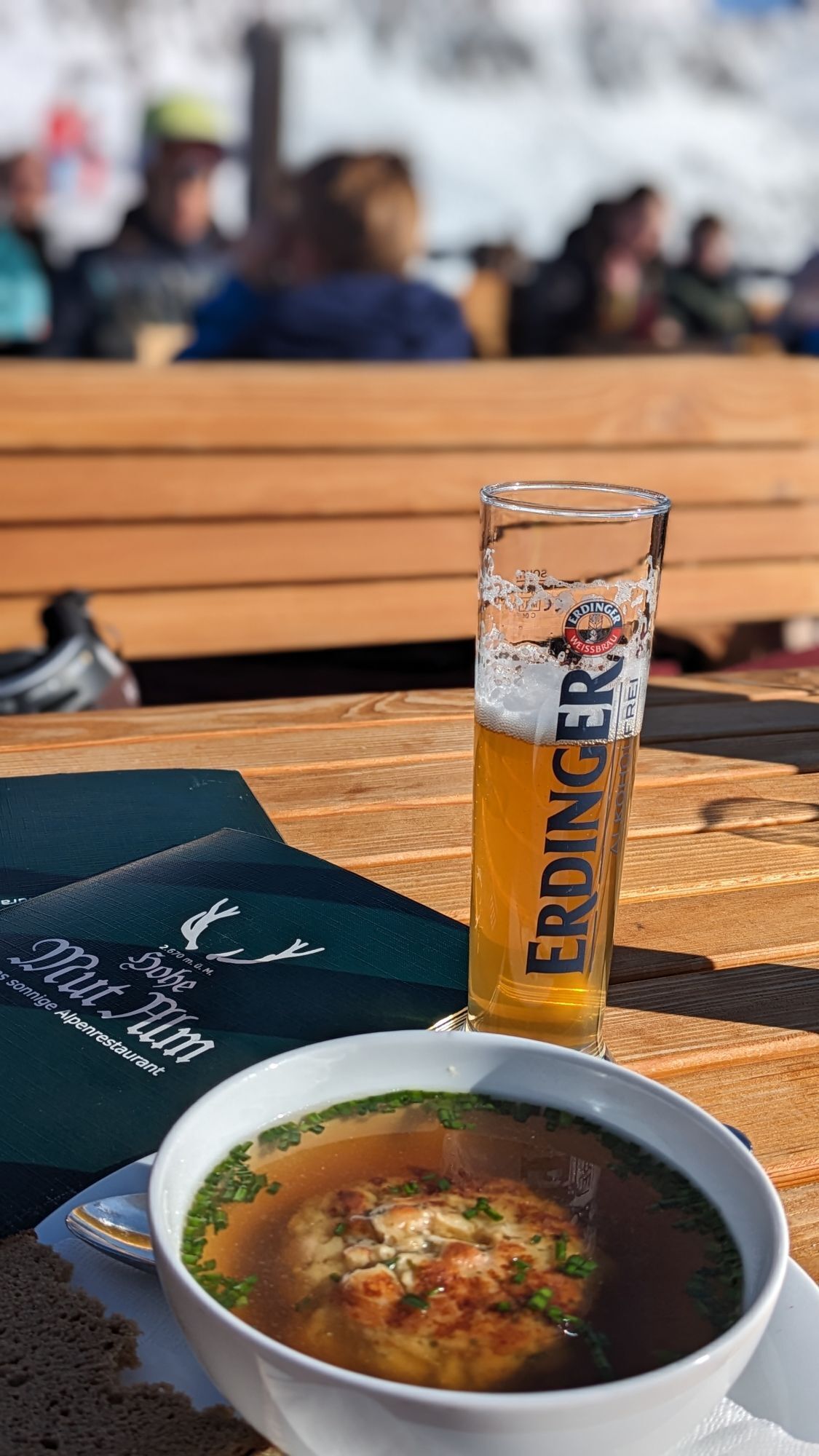
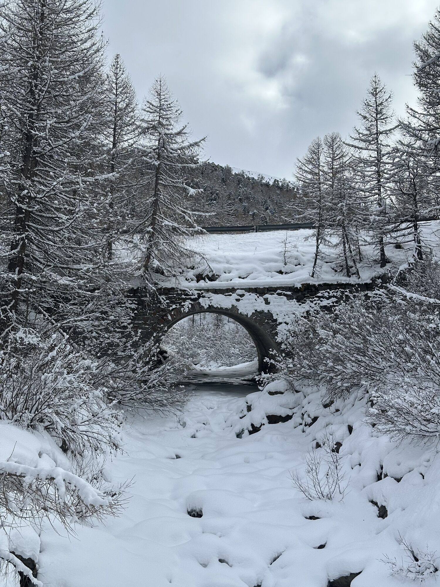
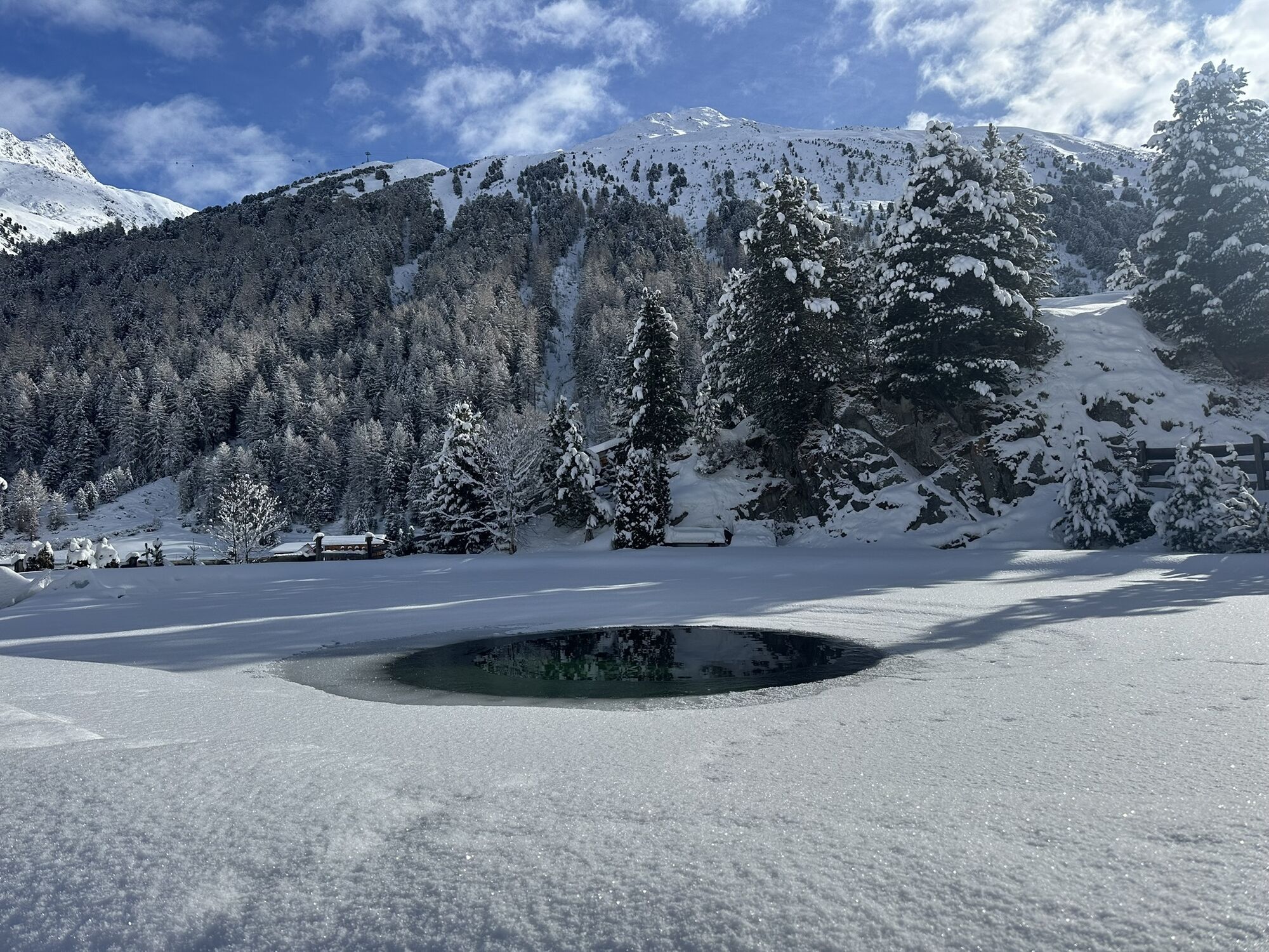
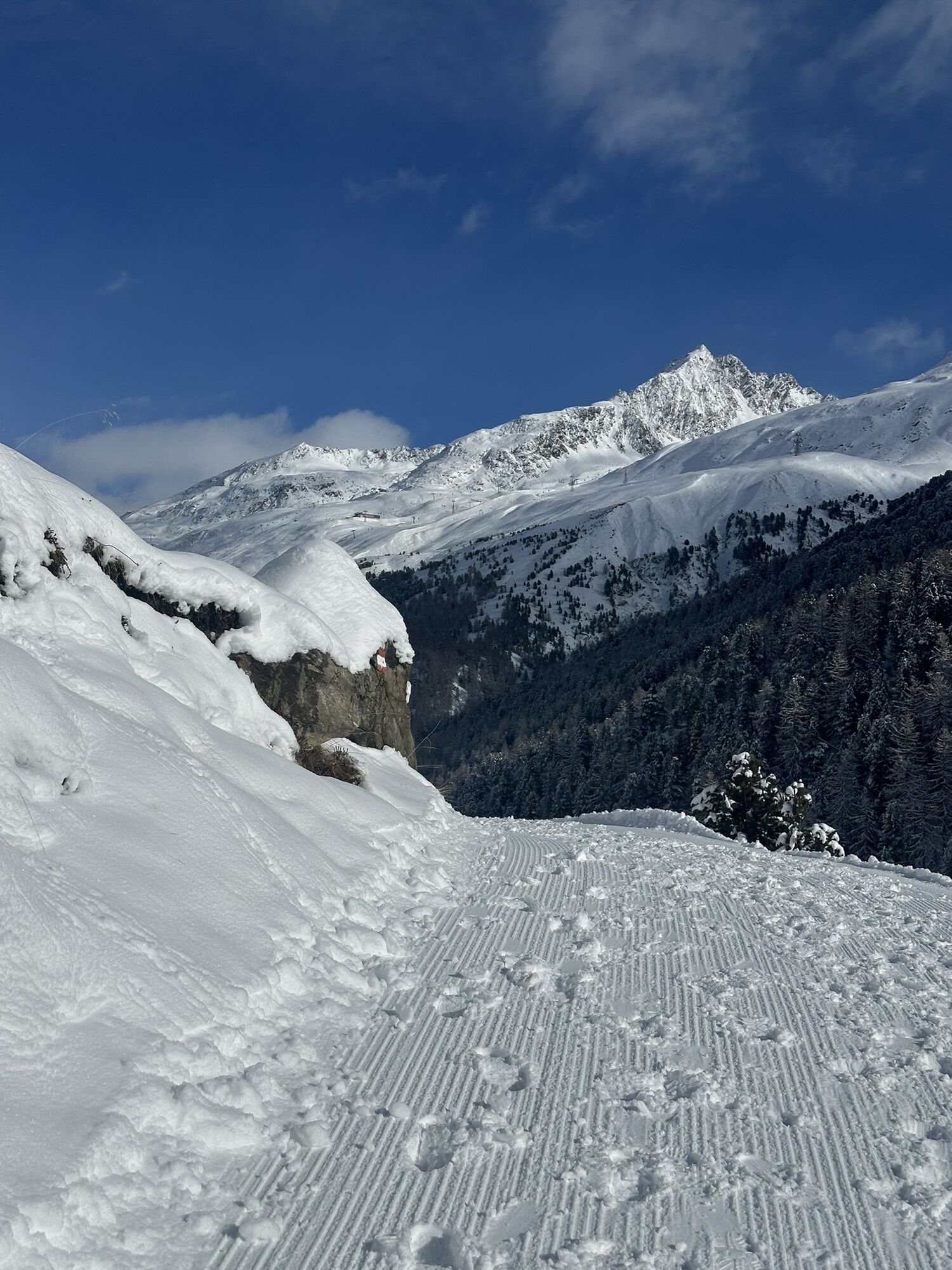
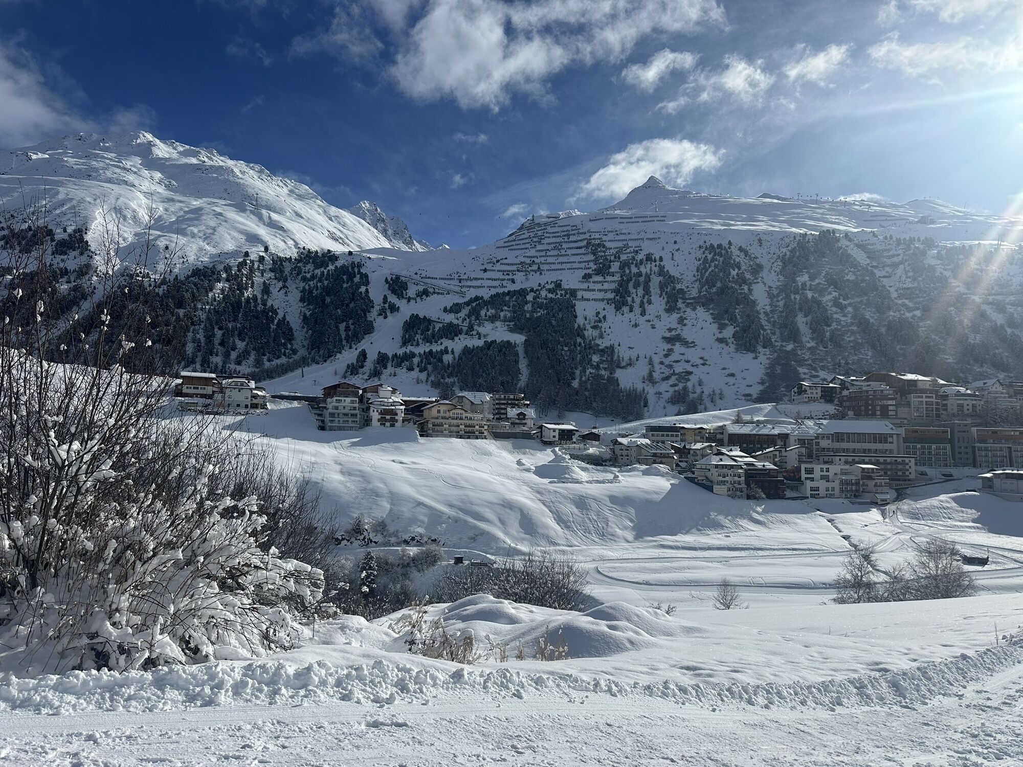
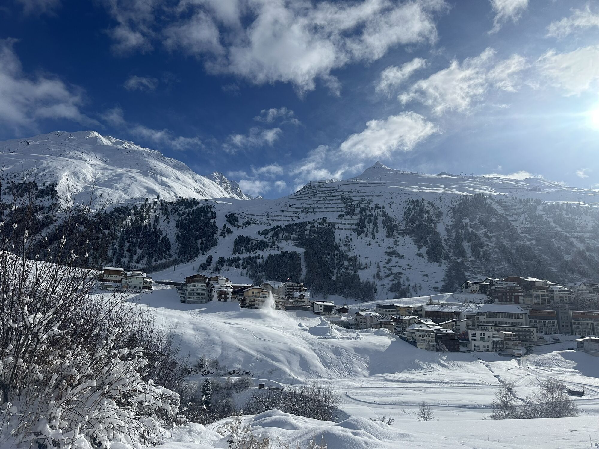
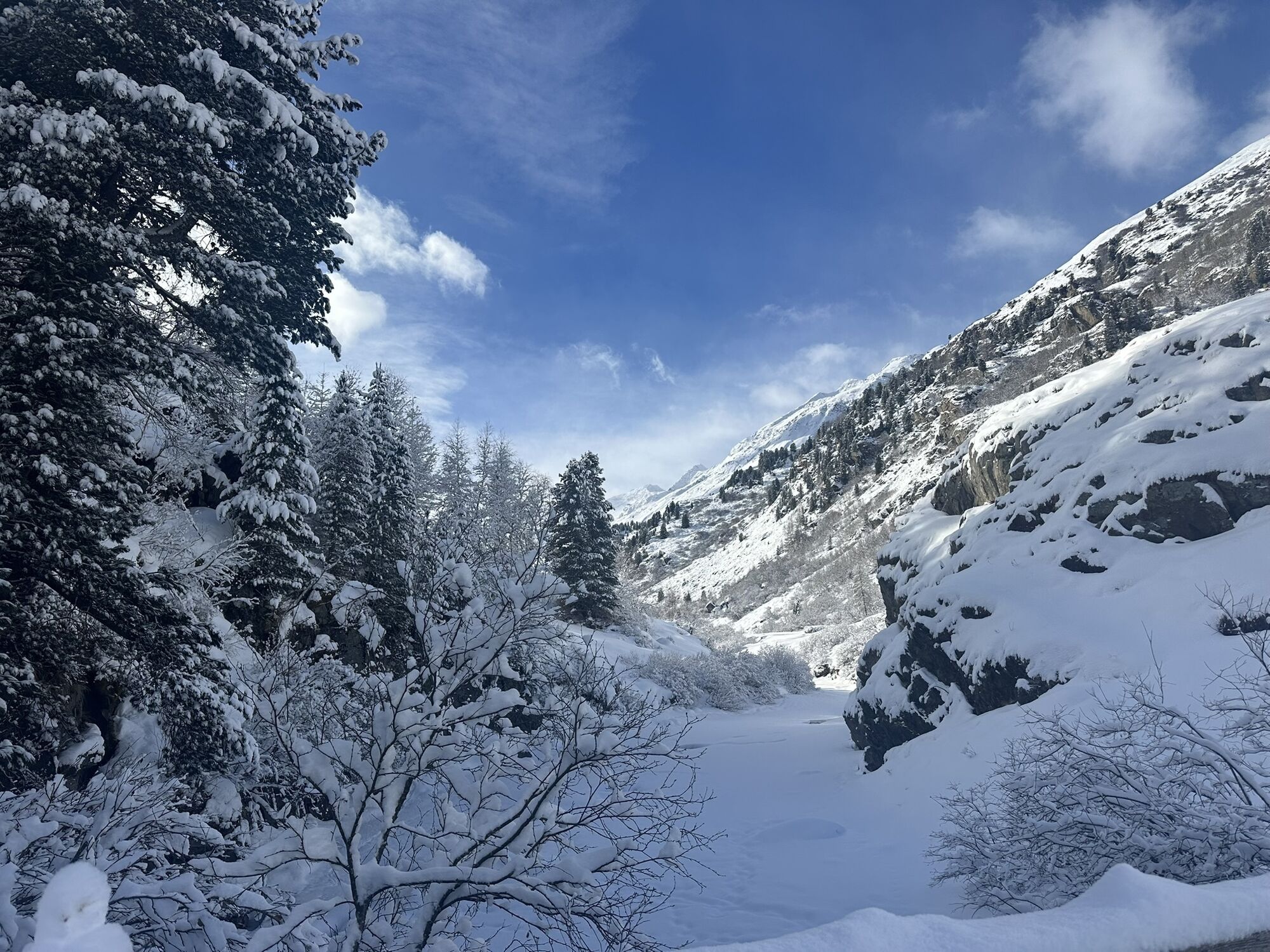
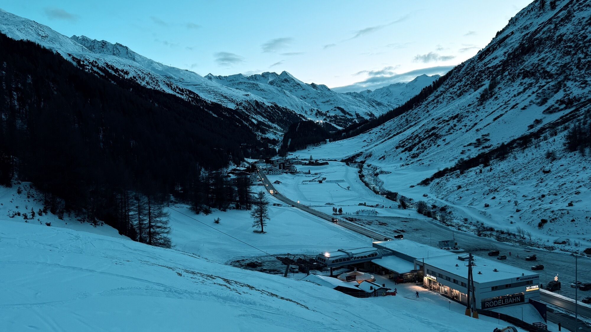
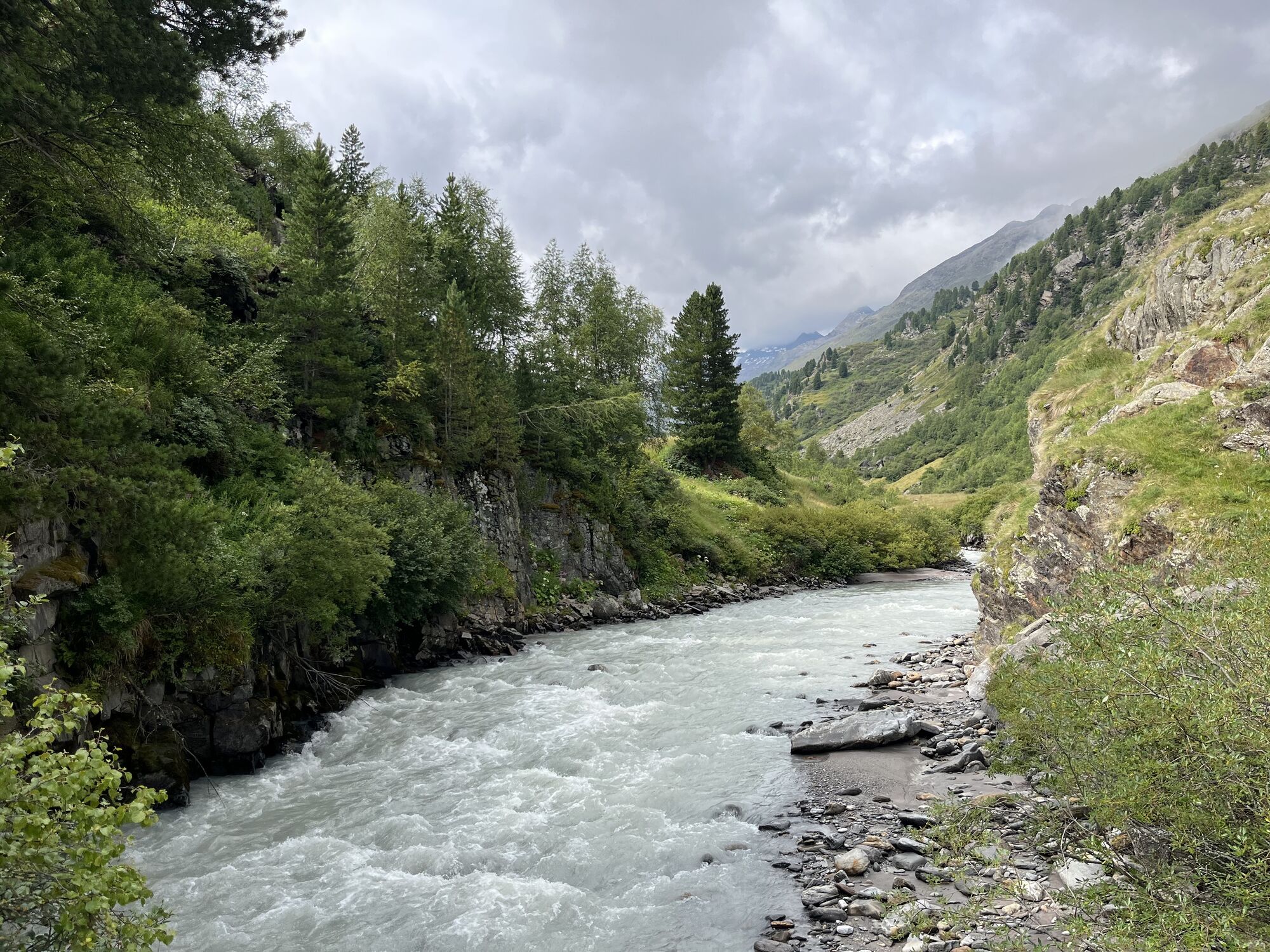
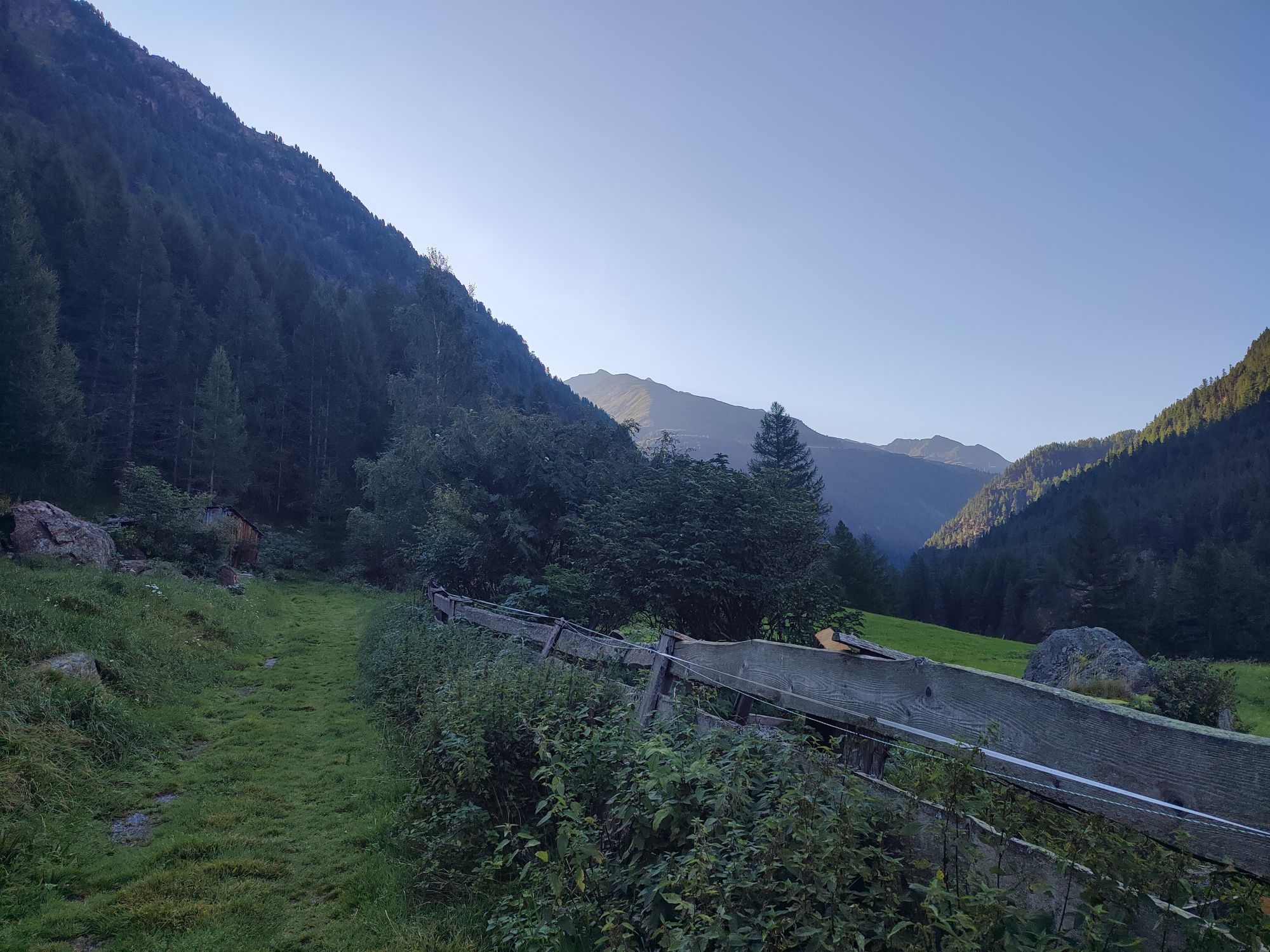
A moderate (e-)bike route in Gurgl. After warming up on the asphalt, continue on a gravel path after leaving the federal road. The following elevation meters to Lenzenalm are quite evenly distributed....
A moderate (e-)bike route in Gurgl. After warming up on the asphalt, continue on a gravel path after leaving the federal road. The following elevation meters to Lenzenalm are quite evenly distributed. Stopping and enjoying the view is worthwhile, as opposite the Timmelsjoch road climbs up to one of the highest Alpine passes.

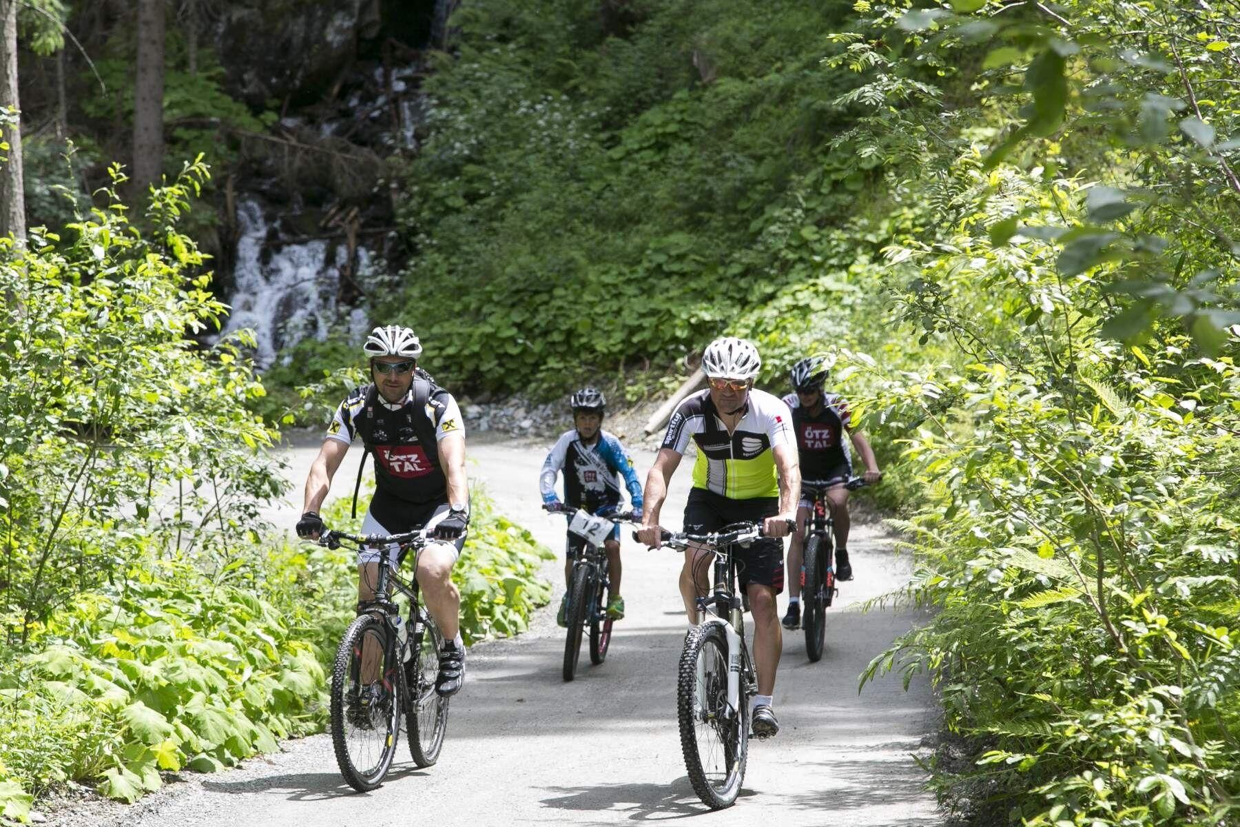
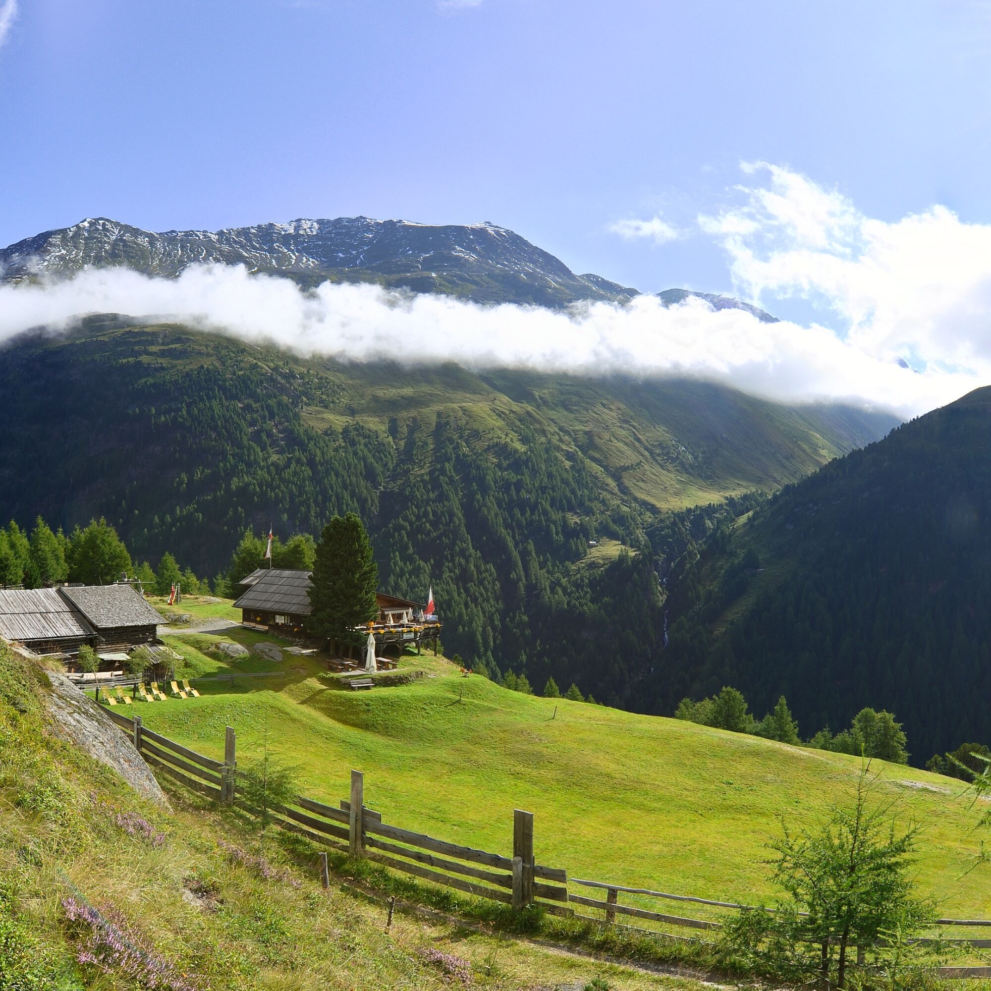

The route starts in the center of Obergurgl next to the church and the Gurgl Carat. From there, you ride past the central garage towards Ploaren. You then leave the village and follow the path along the Ochsenkopf. A suspension bridge is crossed and you follow this path to the Poschach district. At the Hotel Mühle Resort 1,900, you get onto the main road and follow it to the Lenzenalm bus stop. From there, a path with a moderately steep climb leads up to the Lenzenalm.
Tak
Tak
Appropriate equipment such as breathable and weather-appropriate outdoor clothing, ankle-high mountain boots, wind, rain and sun protection, hat and possibly gloves is recommended!
Attention: the route partly runs on the Ötztal federal road.
The car drive to the ÖTZTAL. Located in Tyrol, the ÖTZTAL branches off to the south as the longest side valley of the Eastern Alps. Access by car takes vacationers over the Inn Valley to the valley entrance and then along the Ötztal. In addition to the toll motorway, country roads can also be used. With the route planner, your drive can be quickly and easily determined: To the route planner: https://www.google.at/maps.
Travel comfortably and safely by train to the Ötztal train station. The final station or exit point is the ÖTZTAL station. Afterwards, you can travel conveniently and quickly by public transport or local taxi companies through the entire valley to your desired destination. The current bus schedule is available at: http://fahrplan.vvt.at.
The following parking options are available in Gurgl:
Parking garage village center Obergurgl (down to the right in front of the church), paid | € 2.00 per hour
Parking garage village entrance – valley station Festkoglbahn, paid | € 6.00 per day
Parking lot Hochgurglbahn valley station, free – no overnight parking
Parking lot Top Mountain Crosspoint, free
Parking lot Hochgurgl, free (very small parking lot)
More info about biking & cycling in the Ötztal: www.oetztal.com/biken
Ideal e-bike & hike route! Comfortable ascent to Lenzenalm and a challenging hike to the Nederkogl at 3,163 m.
Kamery internetowe z trasy
-
Obergurgl
-
Hochgurgl
-
Obergurgl
-
Gaisberg
-
Top Mountain Crosspoint Hochgurgl
-
Top Mountain Crosspoint Hochgurgl
-
Top Mountain Crosspoint Hochgurgl
-
Top Mountain Crosspoint Hochgurgl
-
Top Mountain Crosspoint Hochgurgl
-
Obergurgl
-
Obergurgl
-
Obergurgl
-
Obergurgl
-
Obergurgl
-
Obergurgl
-
Obergurgl - Hotel Edelweiß
-
Top Mountain Crosspoint Hochgurgl
-
Sölden - Gaislachkogelbahn Mittelstation
-
Sölden Ort
Uzyskaj wgląd
Zawsze na żywo z ponad 9 500 kamer internetowych. bergfex Jako użytkownik Pro, możesz teraz zobaczyć odpowiednie kamery internetowe dla wielu wycieczek w aplikacji wycieczki od. Pozwala to na bezpośredni podgląd aktualnych warunków.
Popularne wycieczki w okolicy
-
4,6
Vent - Kreuzspitze
Wędrówka 20,6 km -
4,4
Hochtour Wildspitze, 3.768m
średniWycieczka wysokogórska 9,75 km -
4,4
Vent - Wilder Mann - Breslauer Hütte - Stableinalm
średniWędrówka 7,25 km -
3,8
Breslauer Hut
średniWędrówka 4,75 km -
3,1
Tiefenbachglacier - Mountaineering Village Vent
średniWędrówka 10,8 km -
5,0
Dresdner hütte - sulzenauerhütte
średniWędrówka 12,1 km -
4,4
Hochwilde - Pfelders
średniWycieczka wysokogórska 22,1 km -
5,0
Obergurgl - Ramolhaus
Wędrówka 7 km -
4,8
Seeber-See Rundweg
światłoWycieczki górskie 7,96 km -
4,0
E5 - 4. Etappe: Zams - Braunschweiger Hütte
średnidługodystansowy szlak pieszy 5 km
Wędrówki i tropienie


Nie przegap ofert i inspiracji na następne wakacje
Twój adres e-mail została dodana do listy mailingowej.





