


Wattenberg mountain bike route MTB Route 519
Poziom trudności: S0
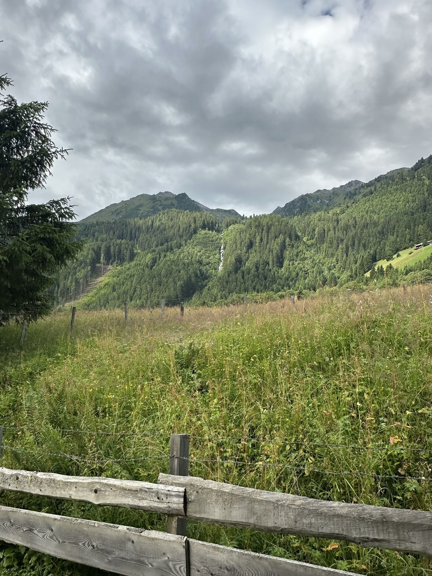
Shady forest route at Wattenberg

The route starts at the fire station in Wattenberg, initially heads north through meadow areas and then turns in a bend to the south towards Wildstättlift. Then the route leads through the hamlet of Dörfl and ends at the edge of the forest in a forest path. Follow the Hay Path and at the next junction either continue straight on the shorter variant via Infanglaste or turn left and continue the longer route to Poversalm. The path leads in five switchbacks to the junction Poversalm-Povershochleger; turn right here and ride downhill to Poversalm. Past the alpine buildings, continue downhill until the alternative route over Infanglaste meets the main route again. After three more bends, the forest path leads onto the paved Wattentalstraße. Turn right and follow it downhill back to the starting point.
Wattens - Wattenberg - Wildstättlift - Dörfl
Few parking spaces at the starting point
S0
Popularne wycieczki w okolicy
-
4,8
Felix-Kuen via ferrata on the Hundskopf
ciężkiVia ferrata 2,18 km -
4,6
To the scenic Hochmahdkopf
średniWędrówka 8,31 km -
4,5
Up to the Largoz
średniWędrówka 7,01 km -
4,8
Halltal - Bettelwurfhütte - Kleiner und Großer Bettelwurf
ciężkiWycieczka wysokogórska 16,2 km -
4,0
Innsbruck/ Igls: Patscherkofel
Mountainbike 14,1 km -
4,7
Patscherkofl
średniWędrówka 18,5 km -
4,9
3 Almen Karwendelrunde MTB Route 408
ciężkiMountainbike 23,8 km -
3,7
To the alpine inn St. Magdalena in the Halltal
średniWędrówka 7,24 km -
4,6
Hochfügen, Vier-Almen-Tour, Tirol/Österreich
światłoWędrówka 7,82 km -
4,9
4-Gipfel-Tour zum Gilfert
średniWędrówka 11,2 km
Wędrówki i tropienie


Nie przegap ofert i inspiracji na następne wakacje
Twój adres e-mail została dodana do listy mailingowej.