






Motorcycle tour Julian Alps

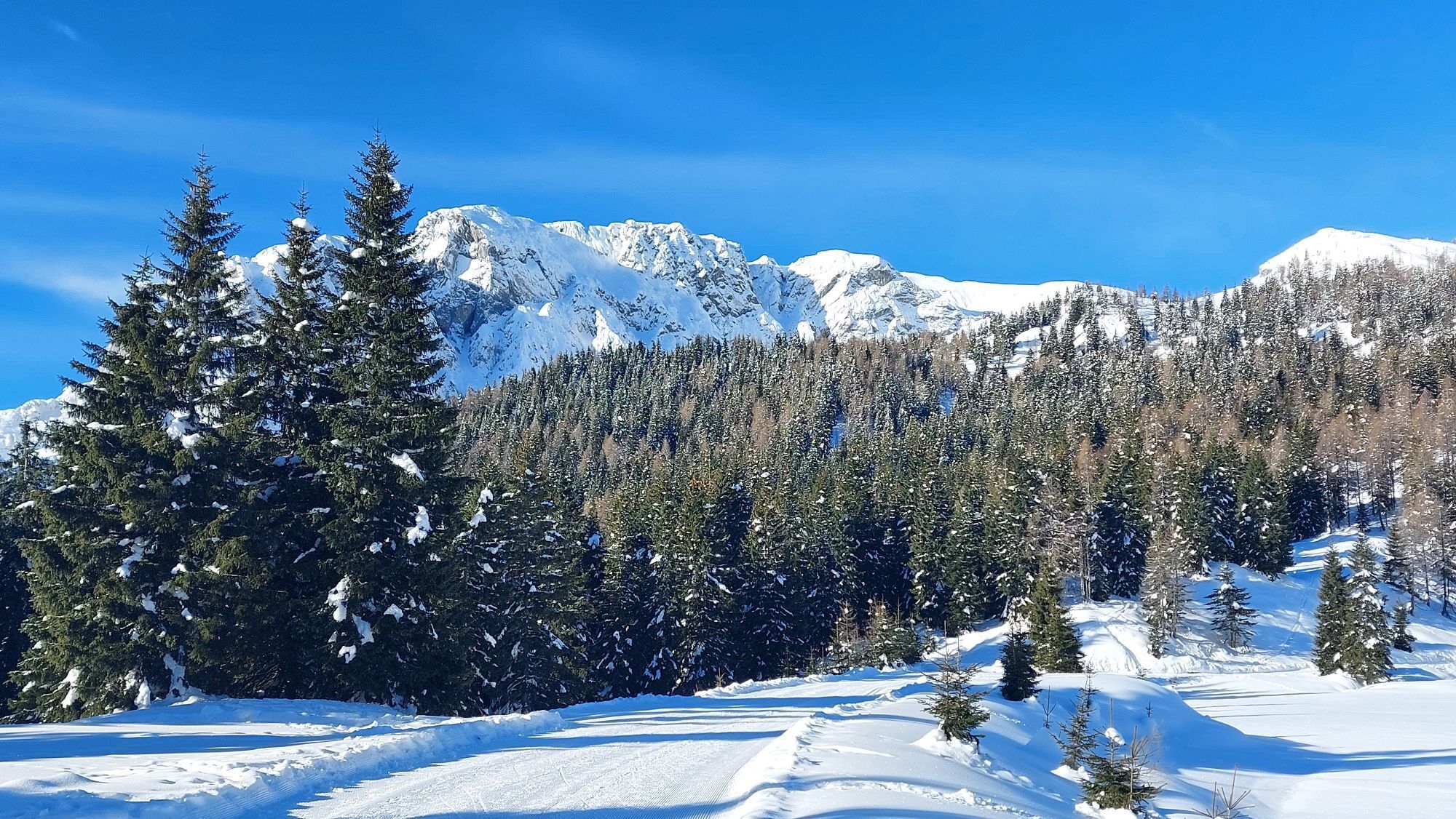
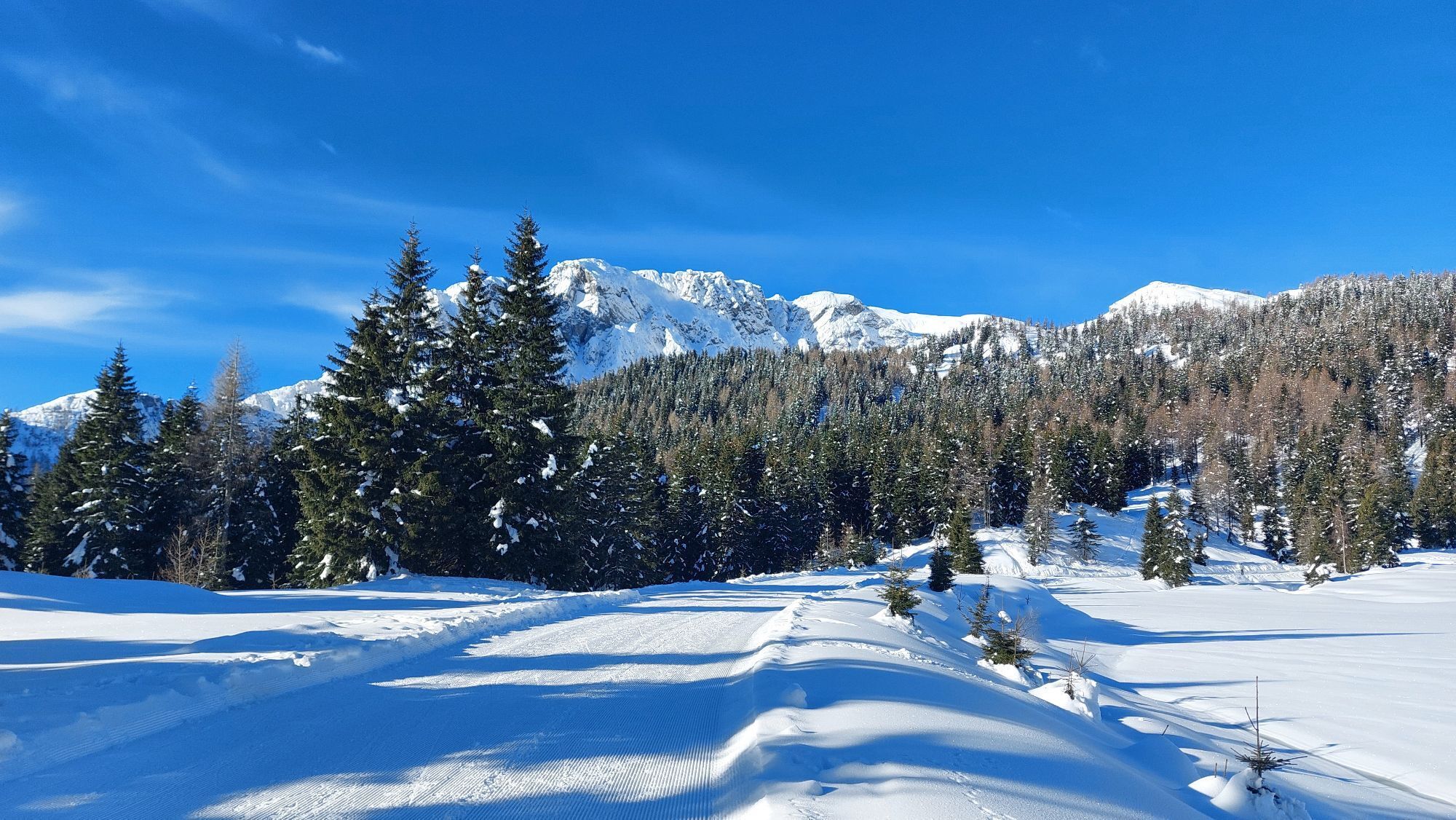

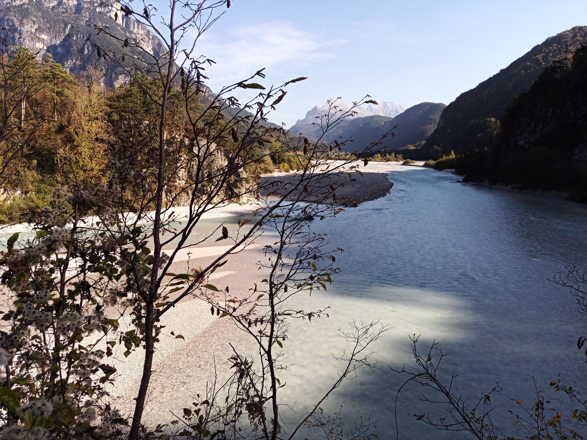
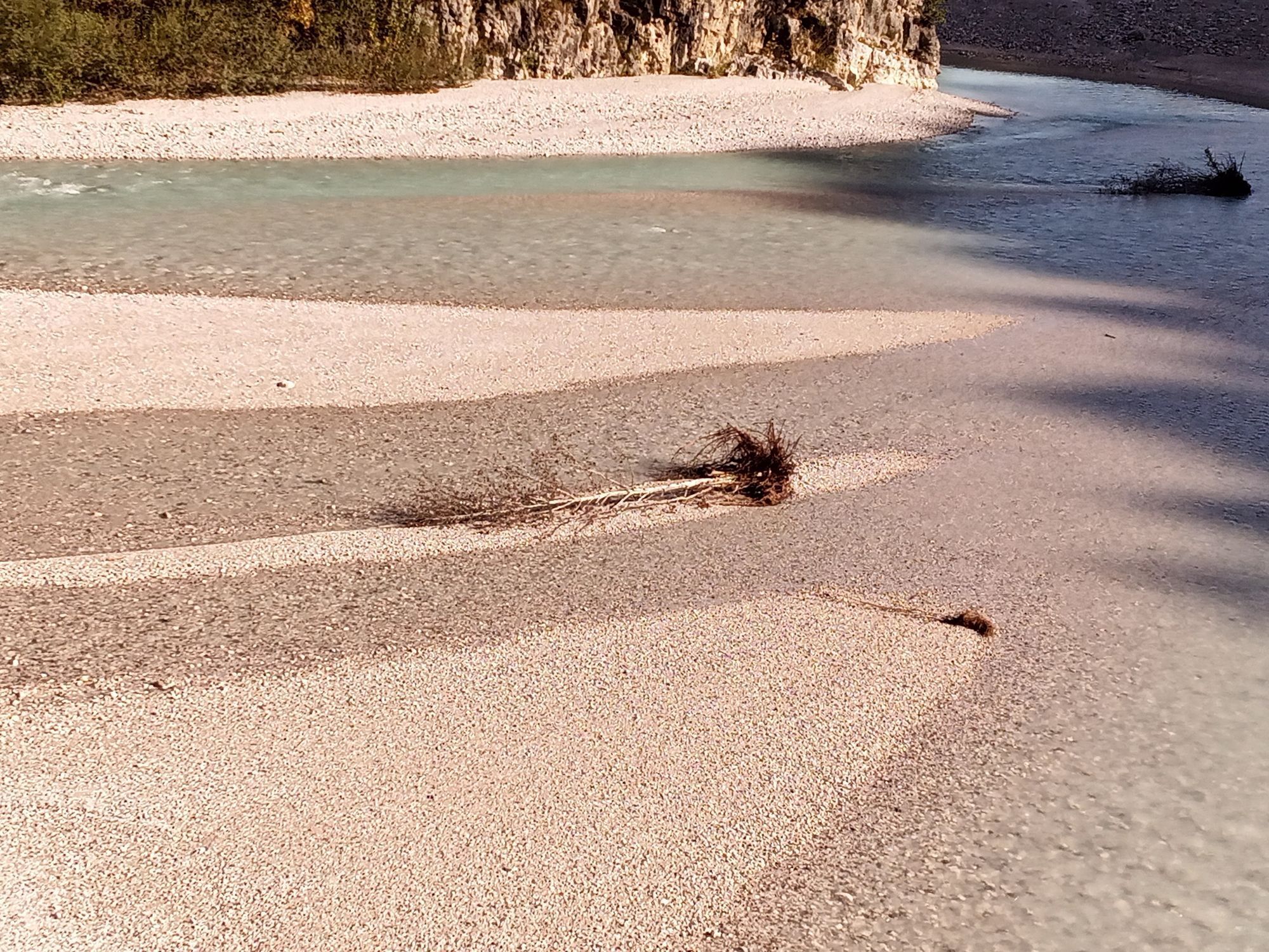
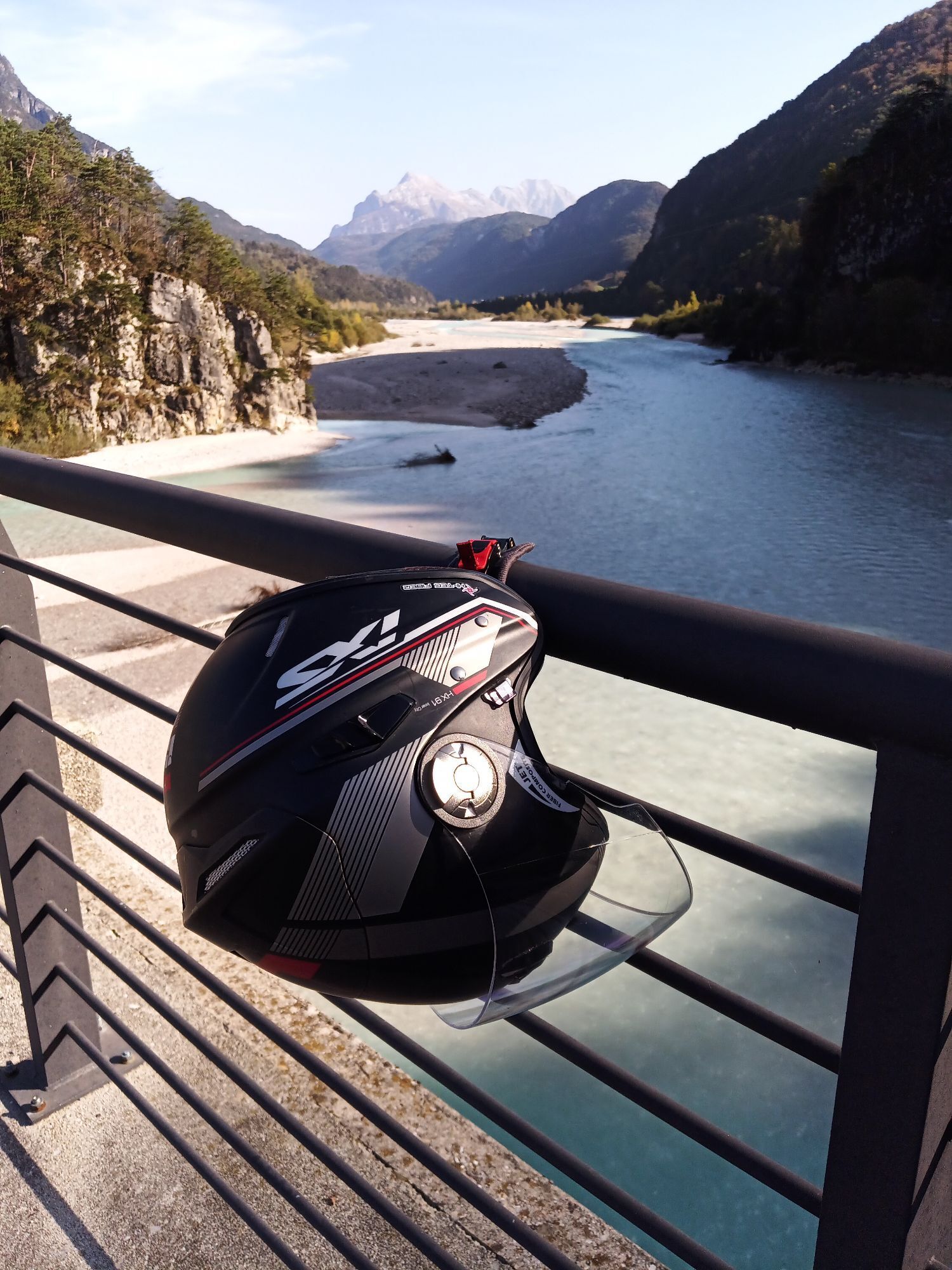
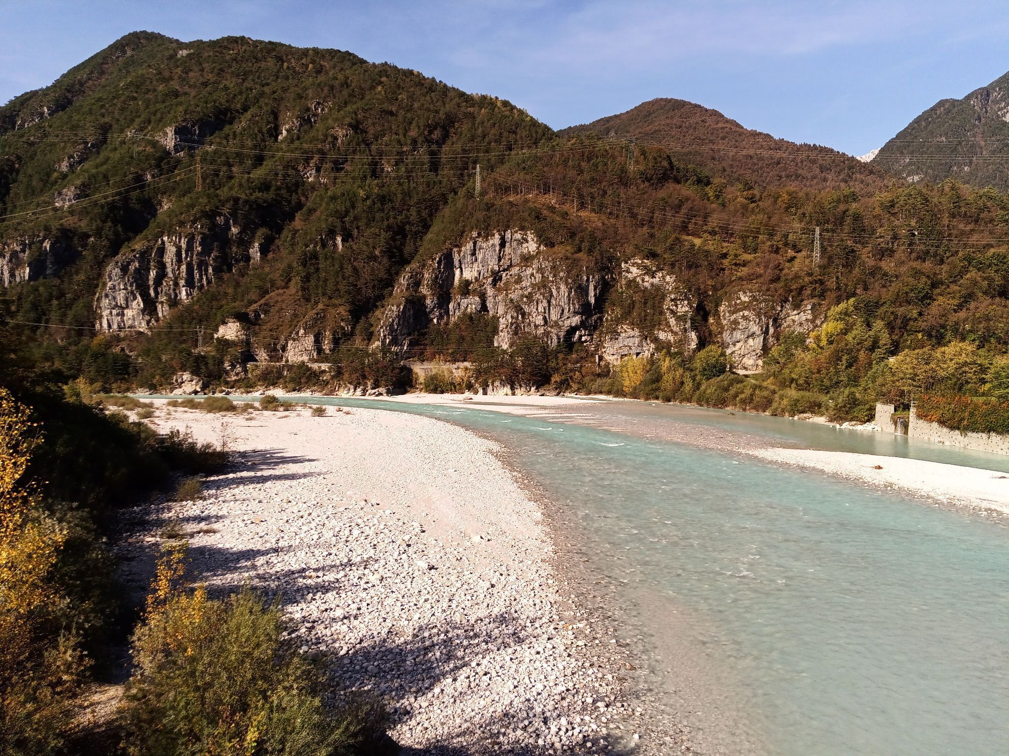
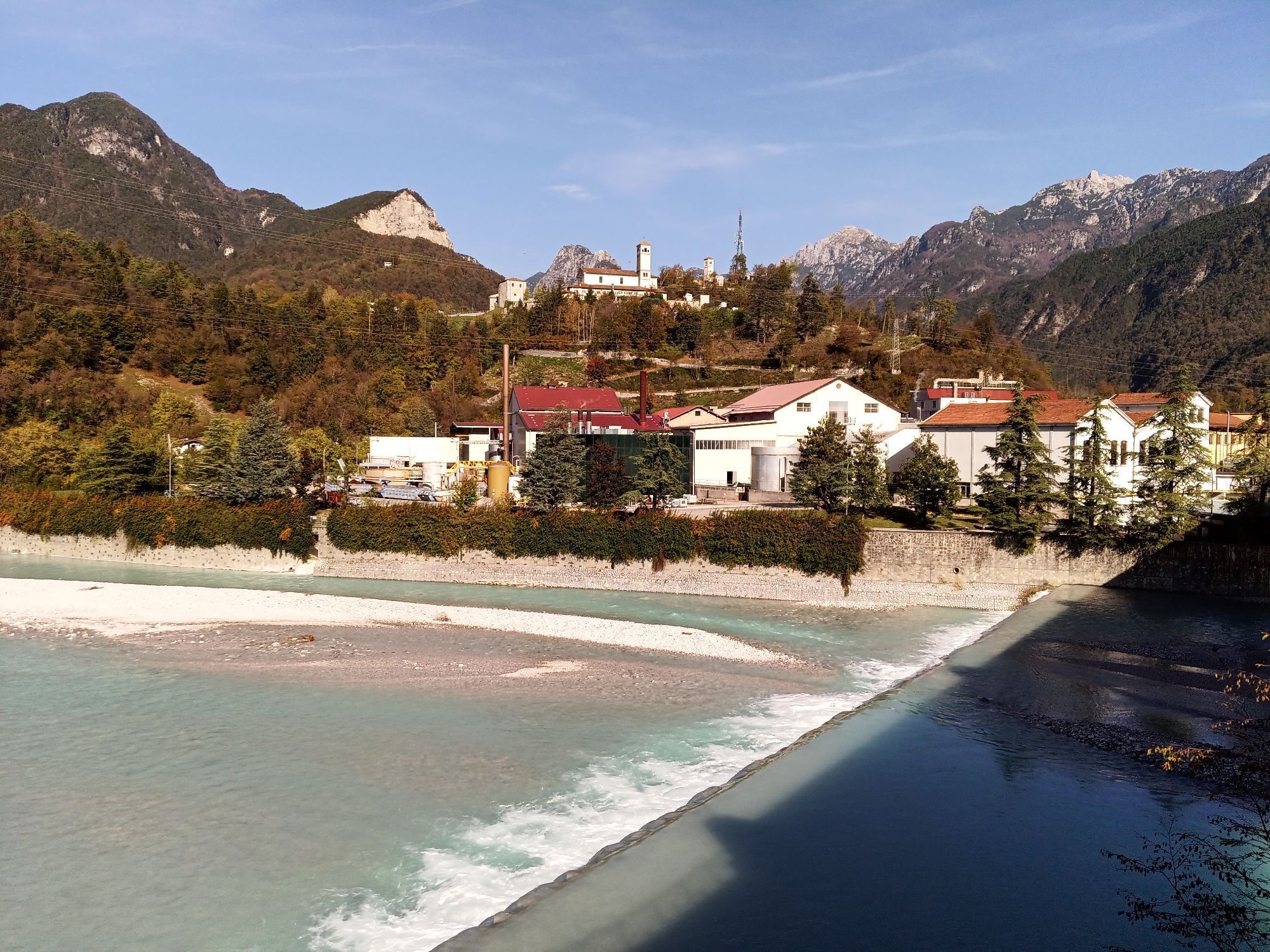
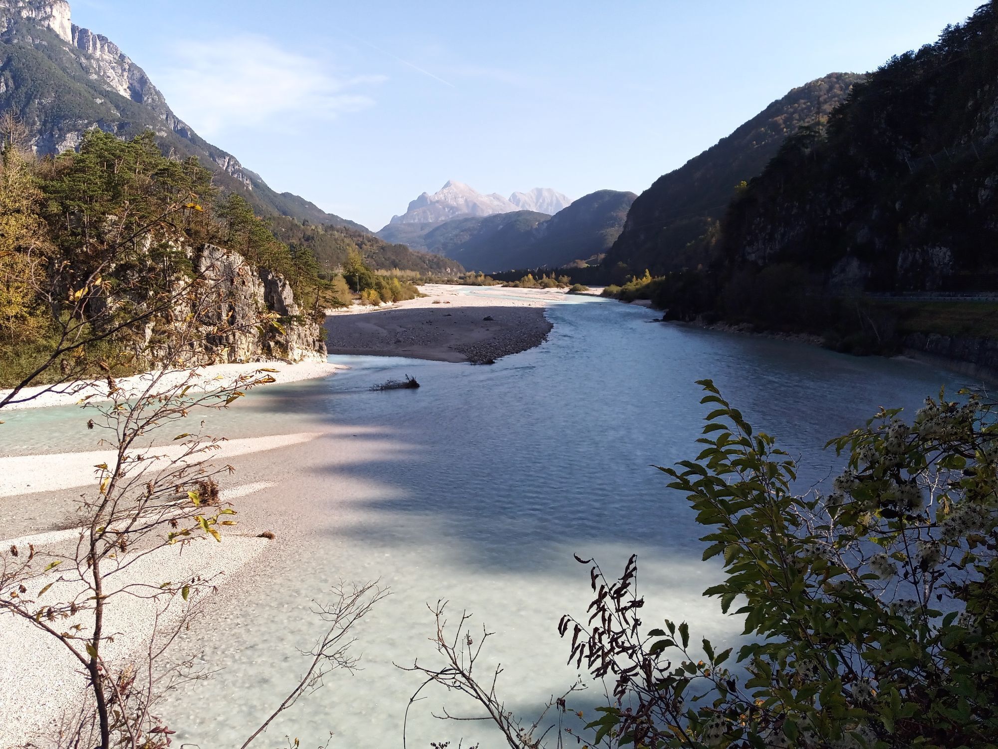
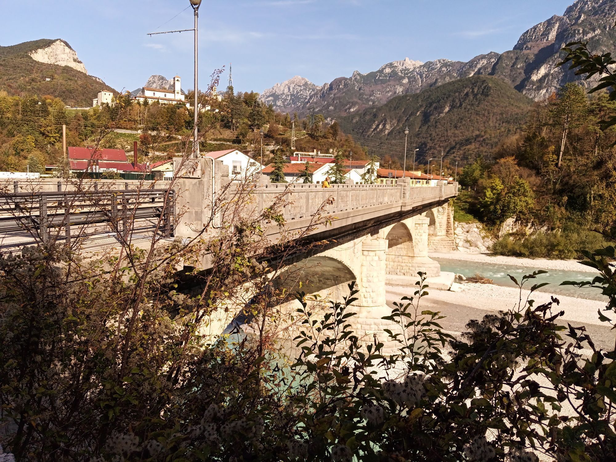
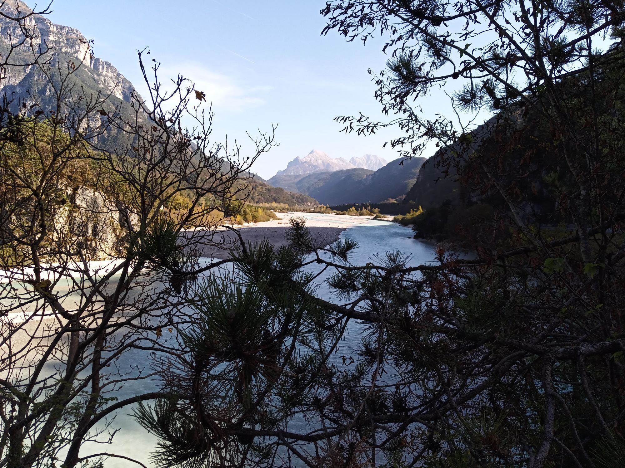
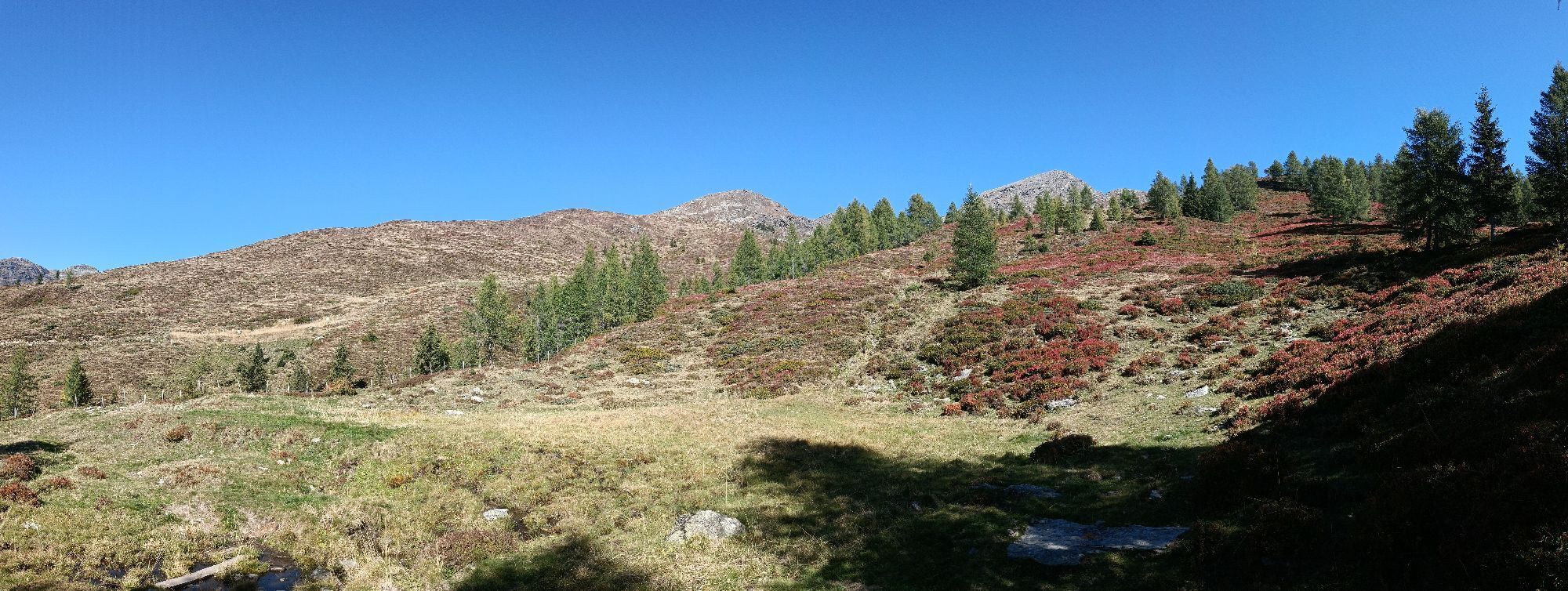
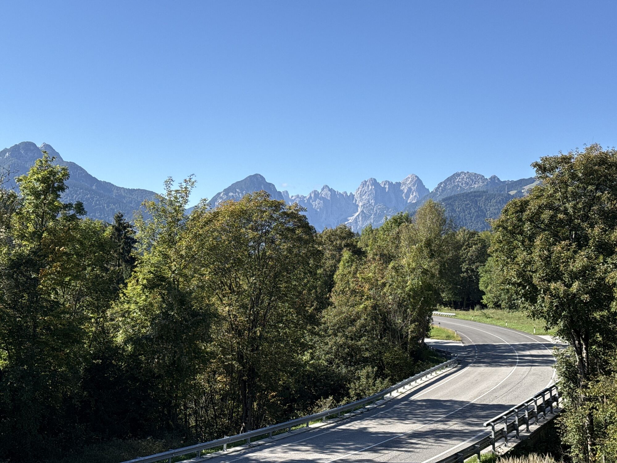
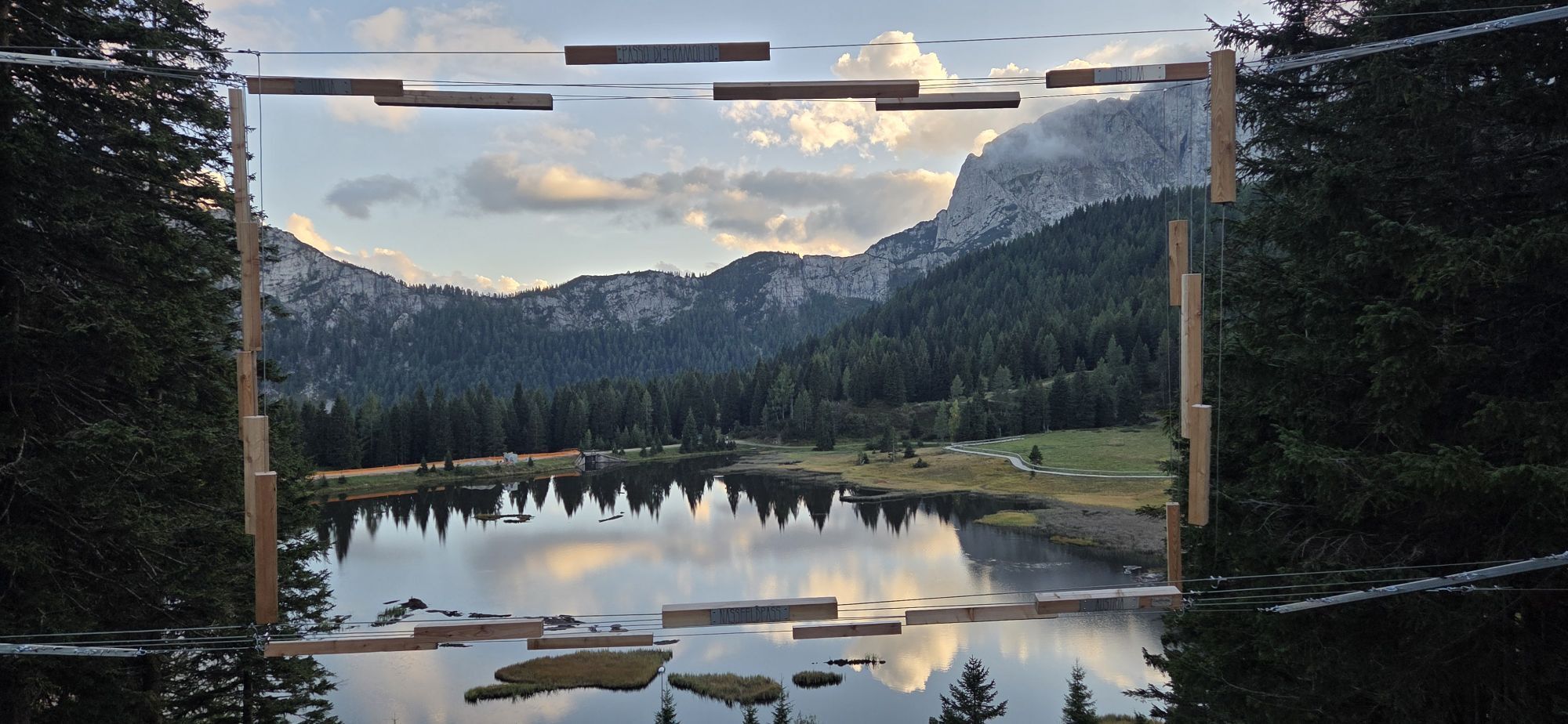
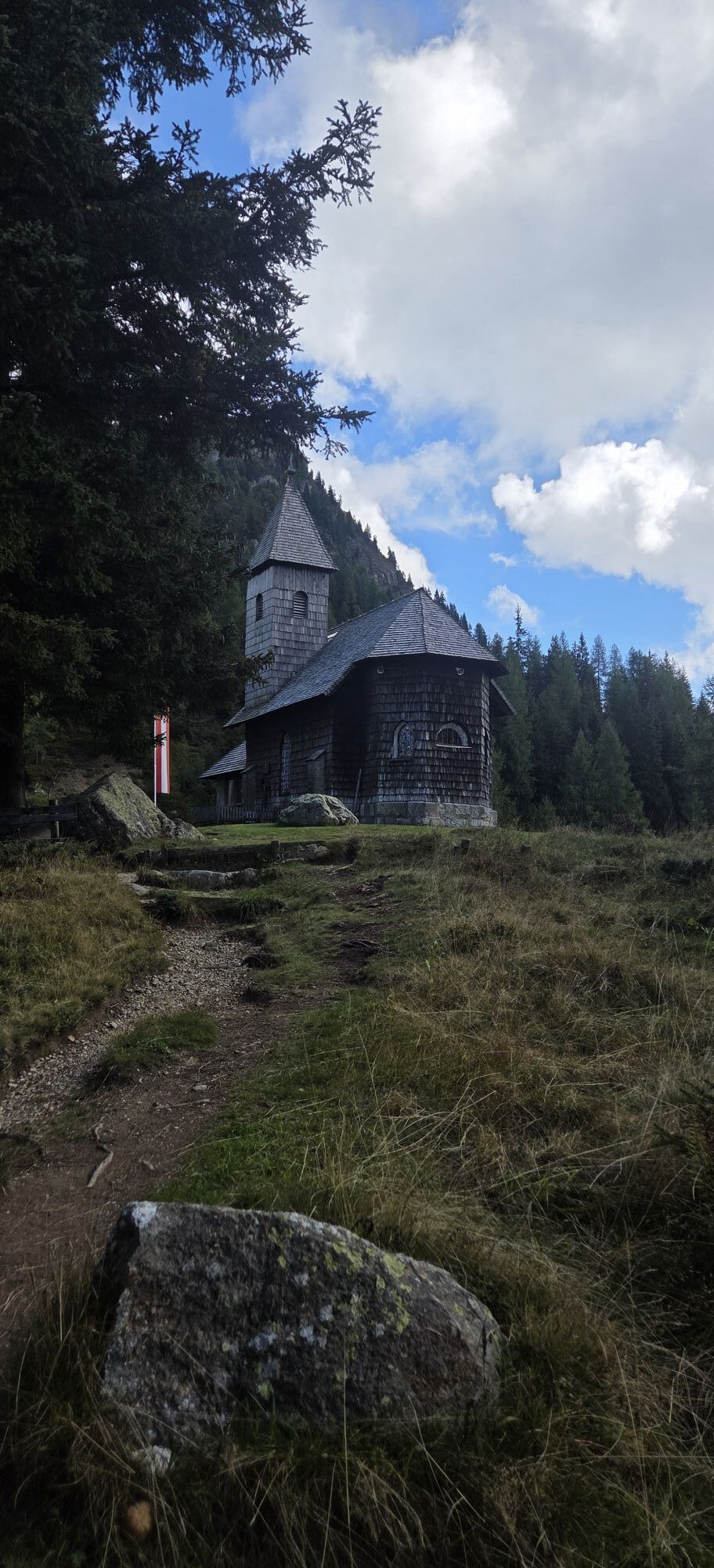
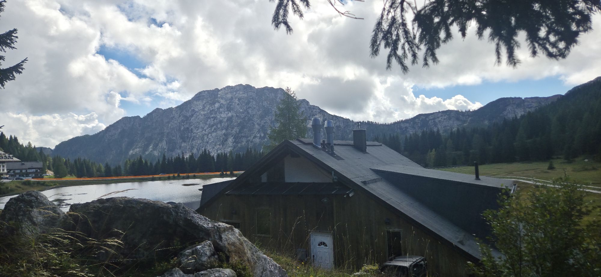
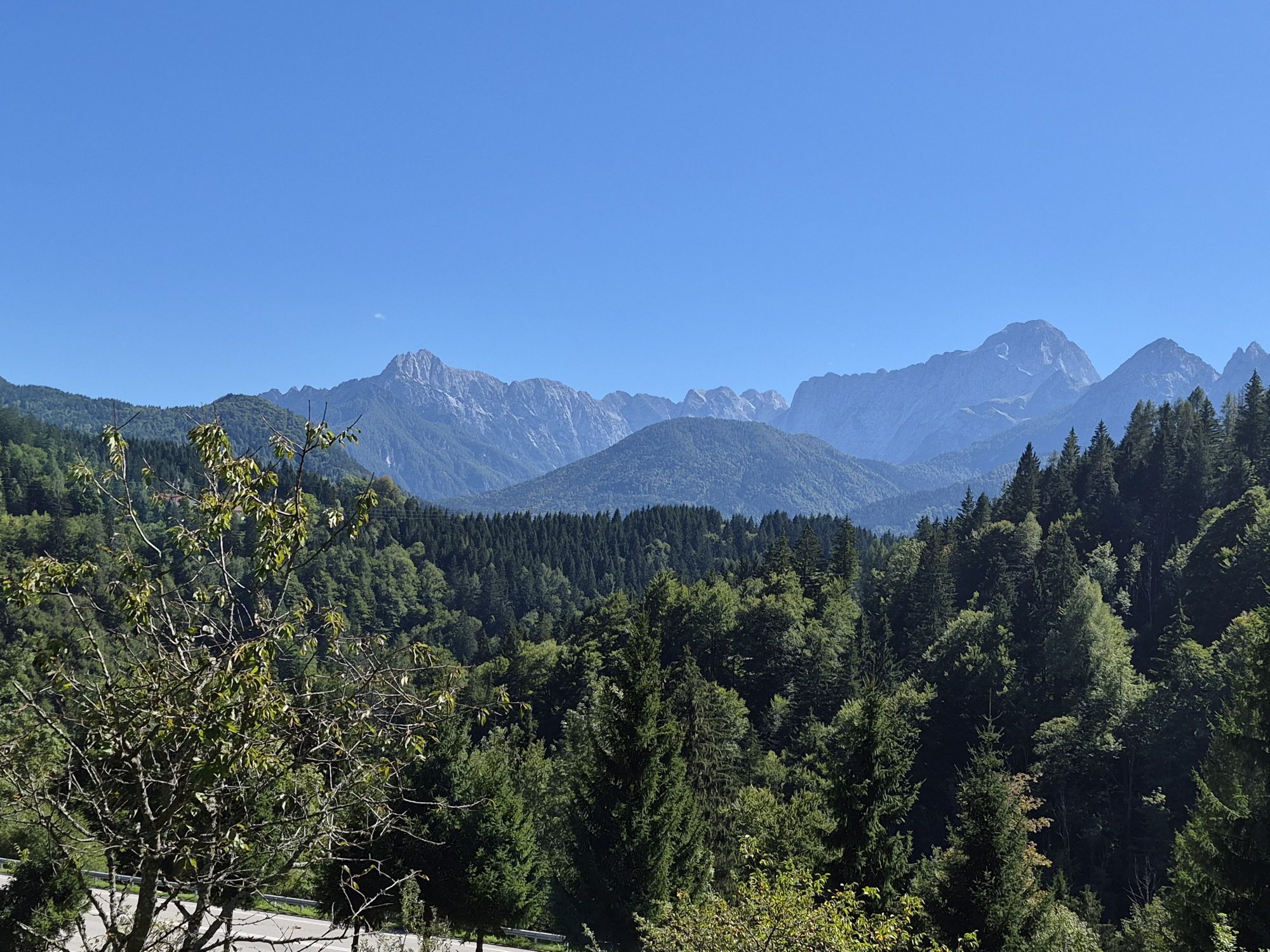
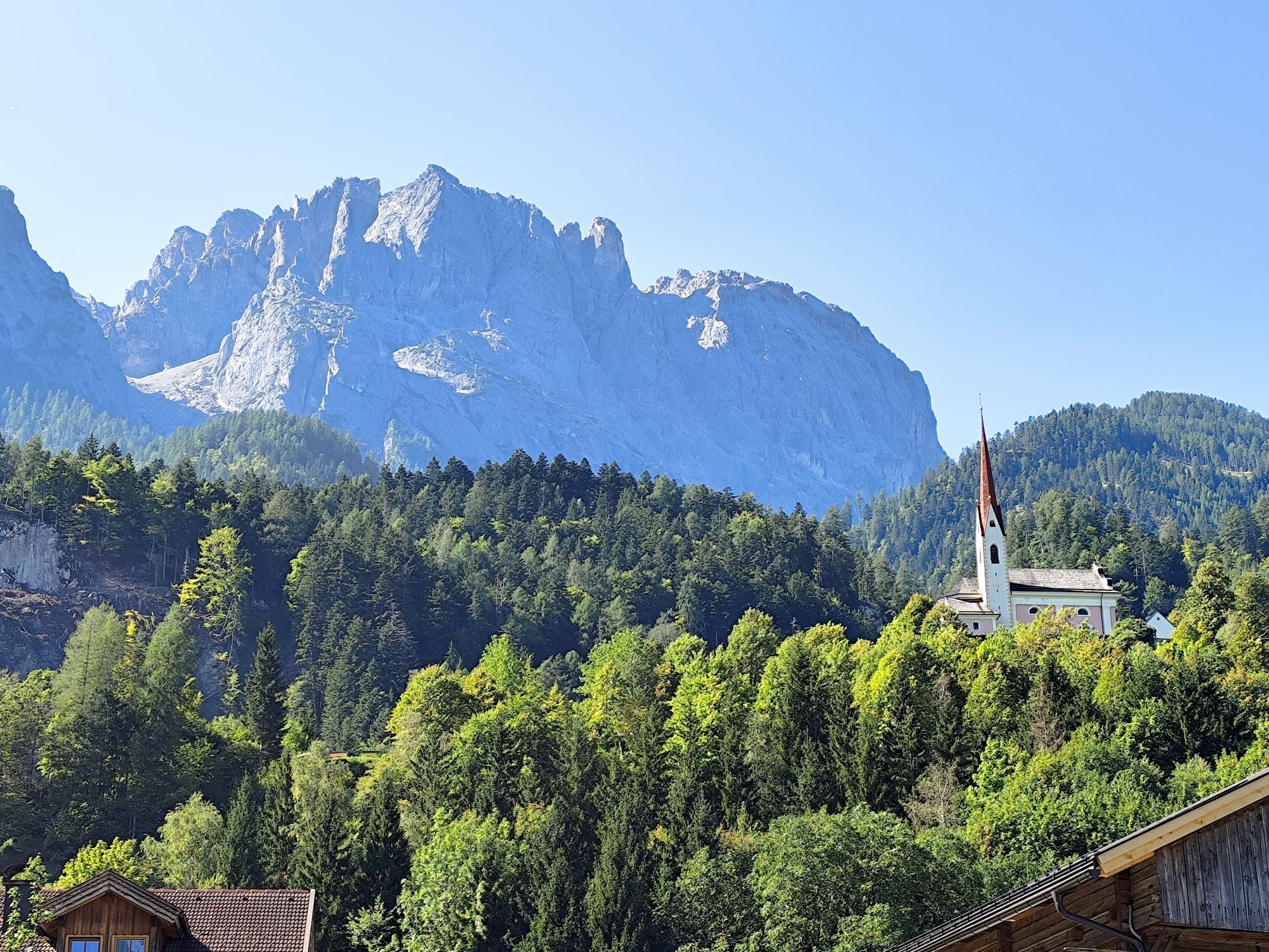
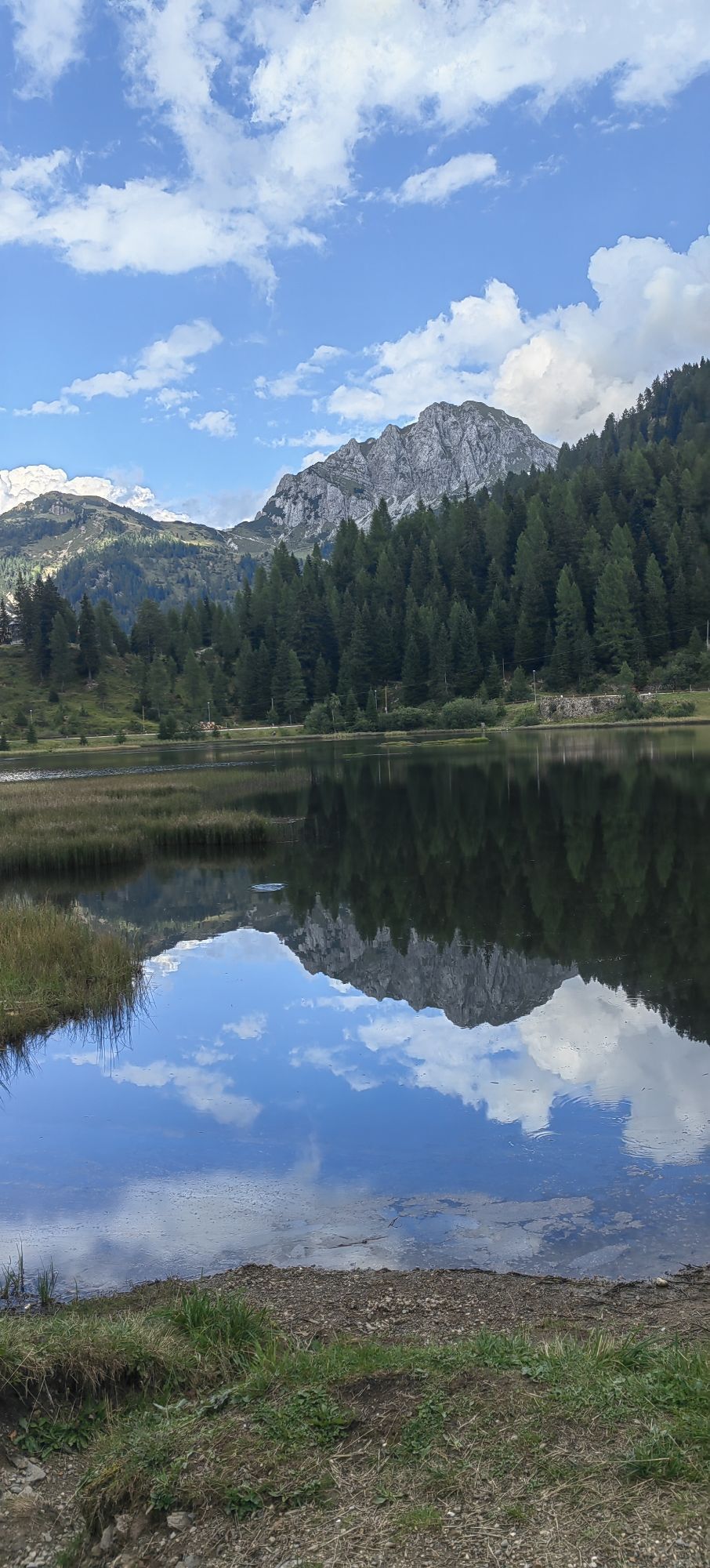
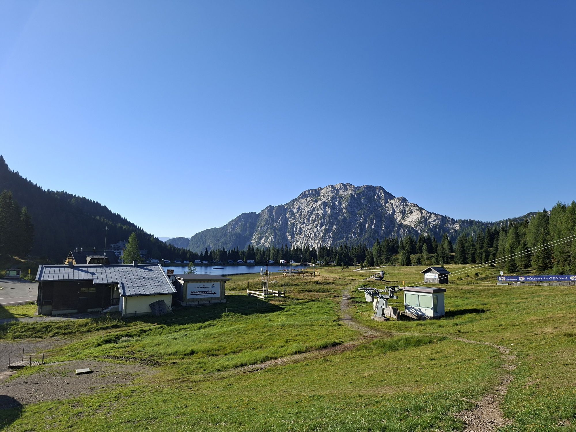
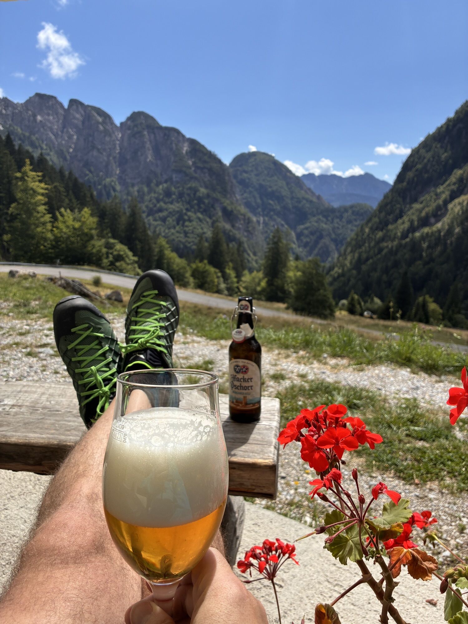
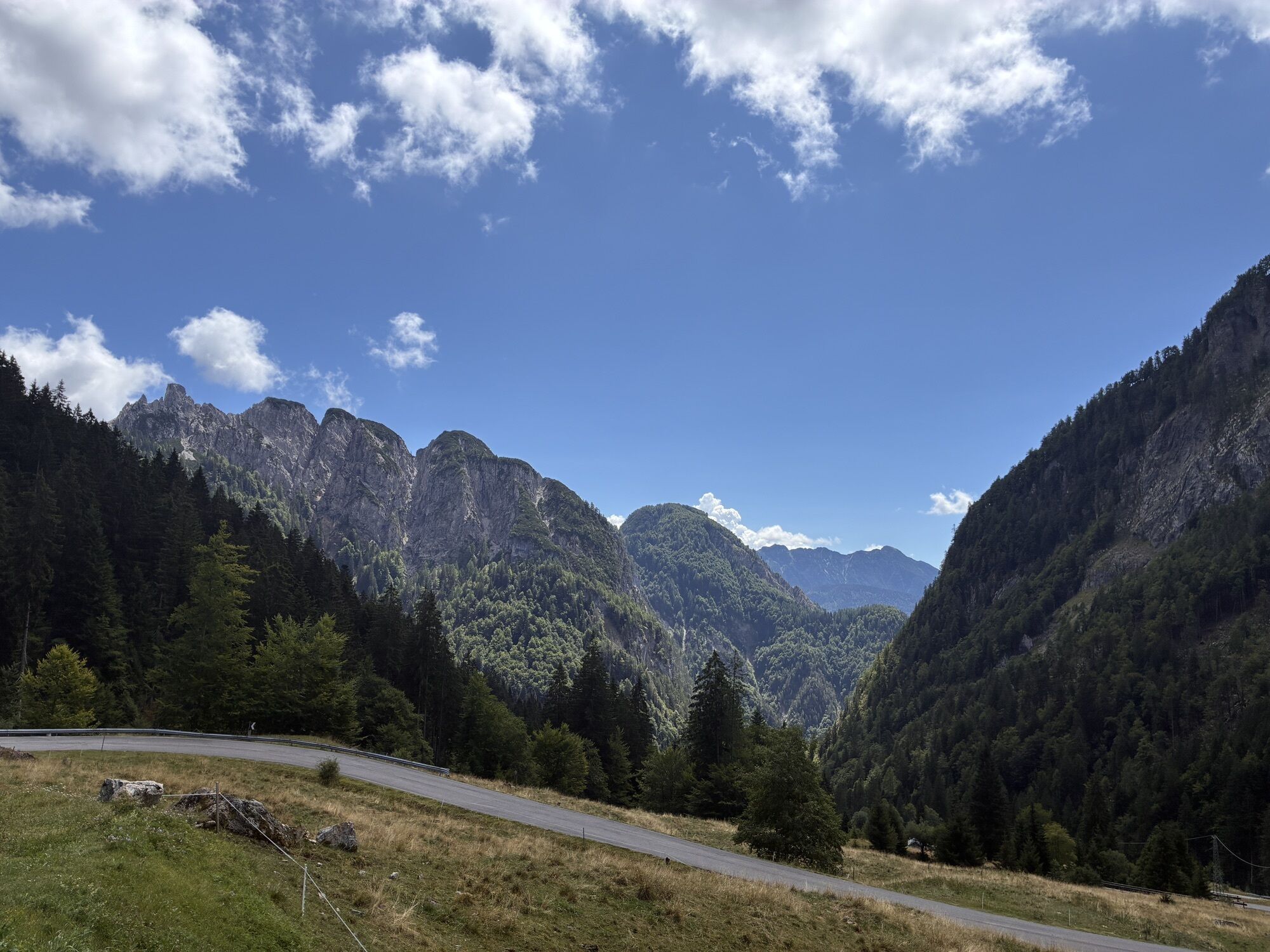
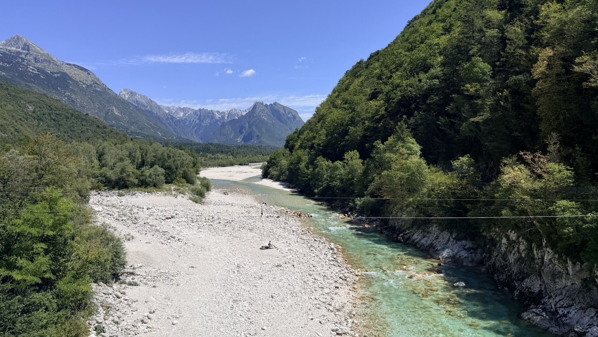
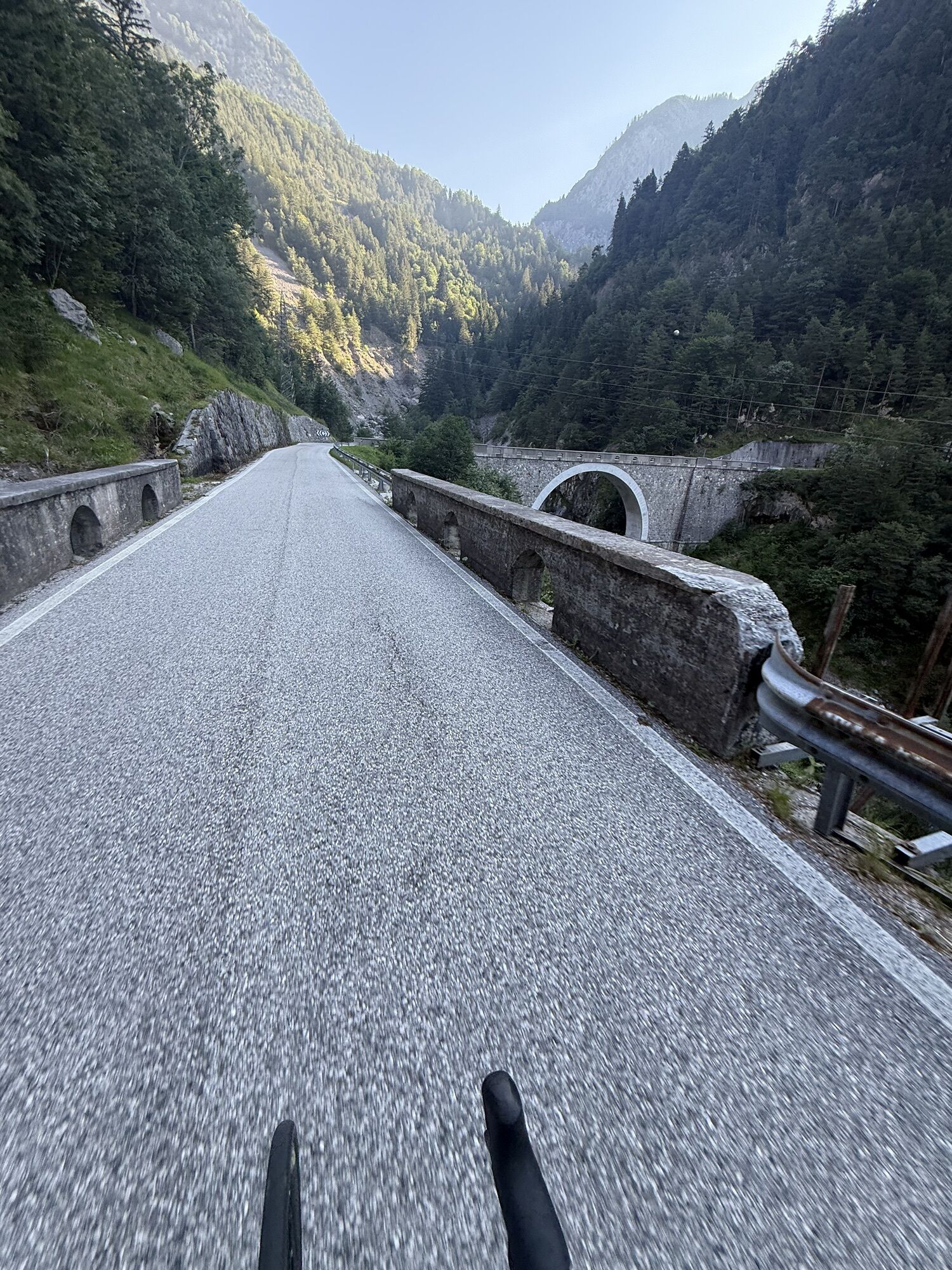
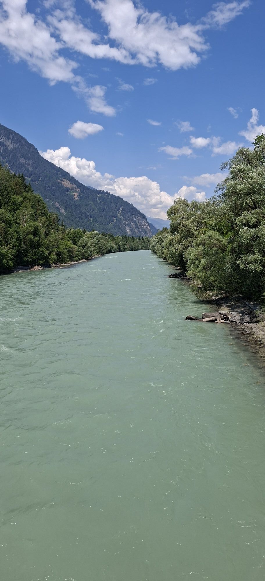
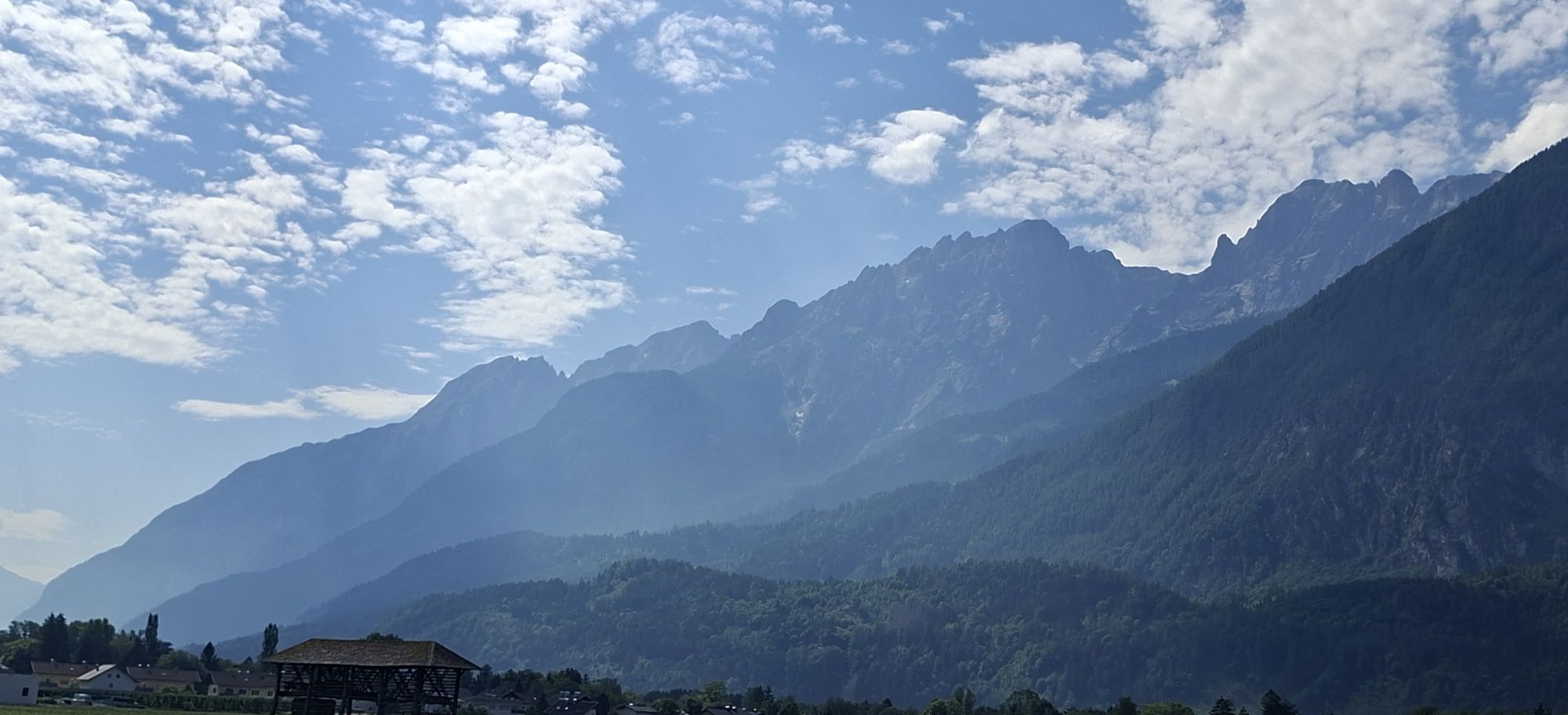
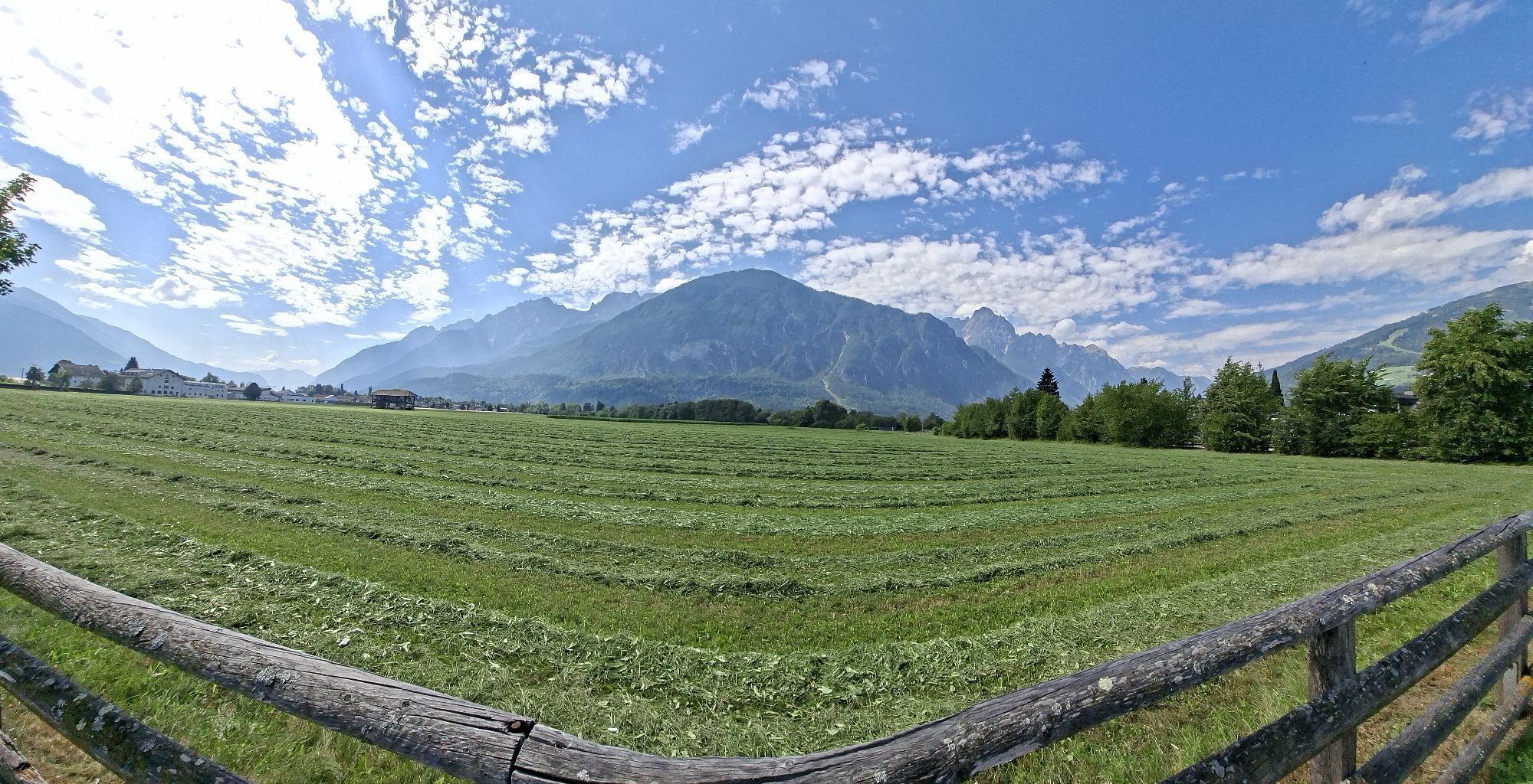
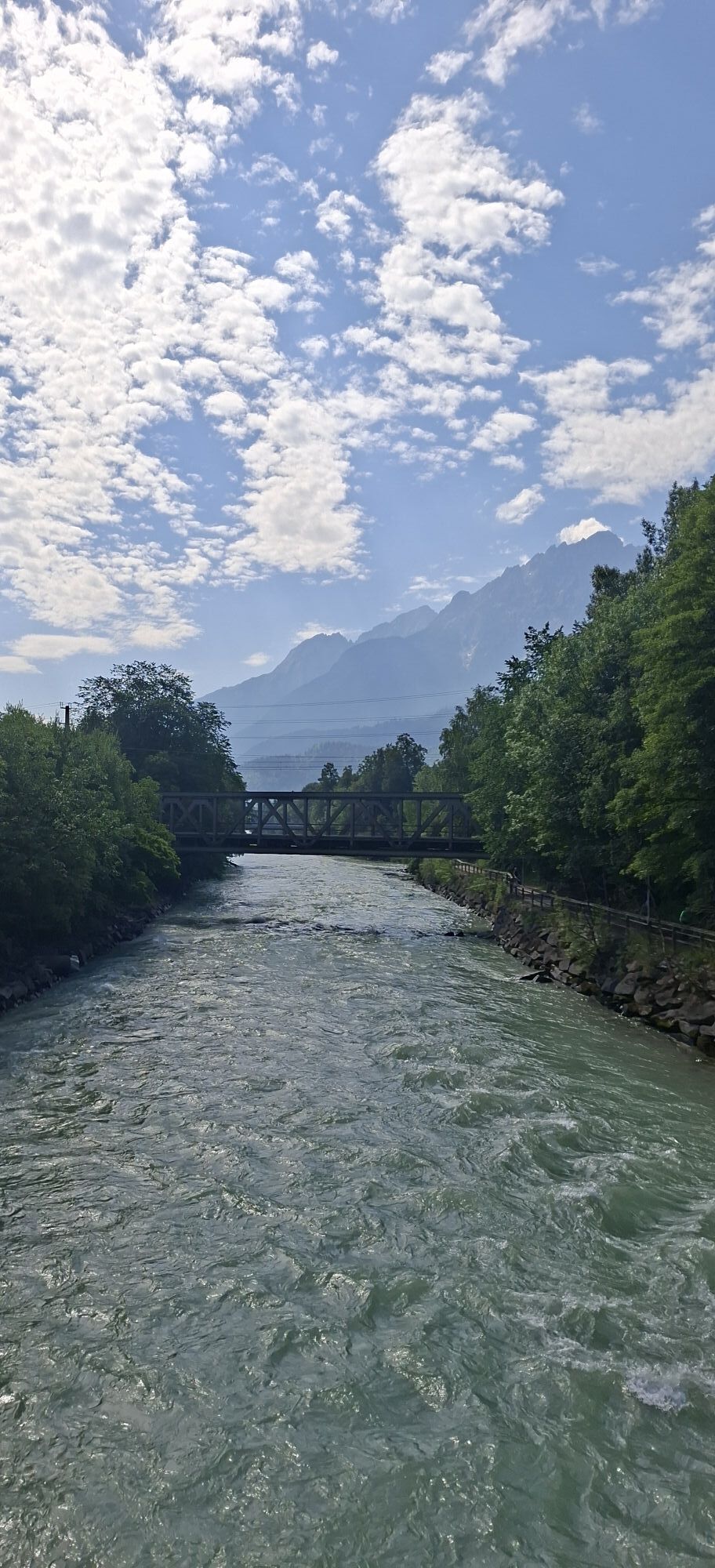
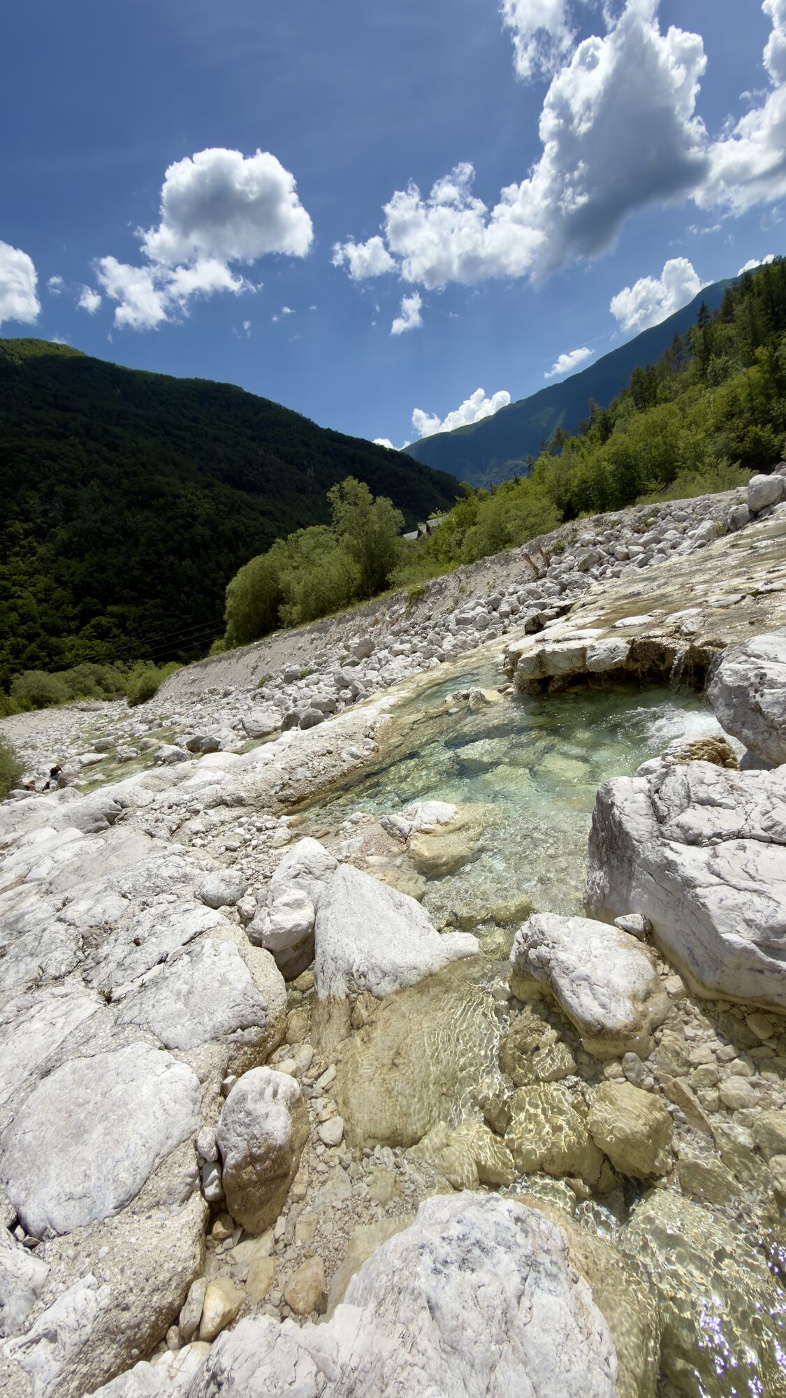
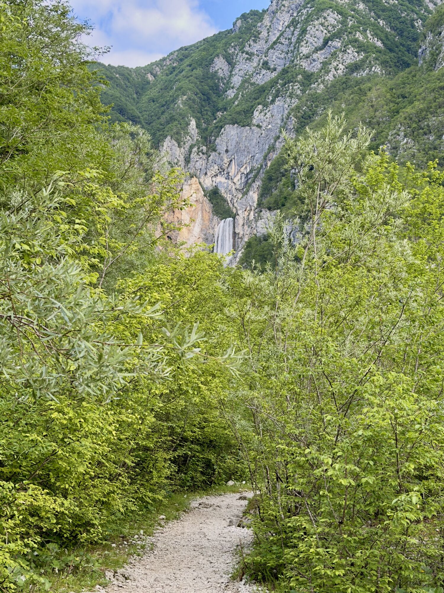
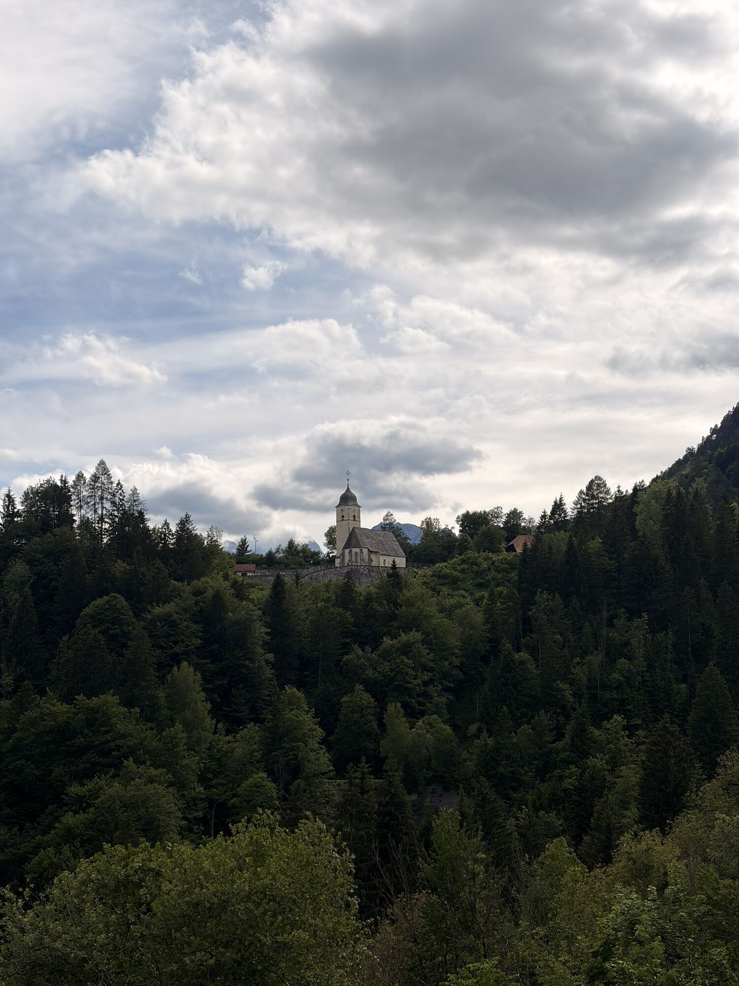
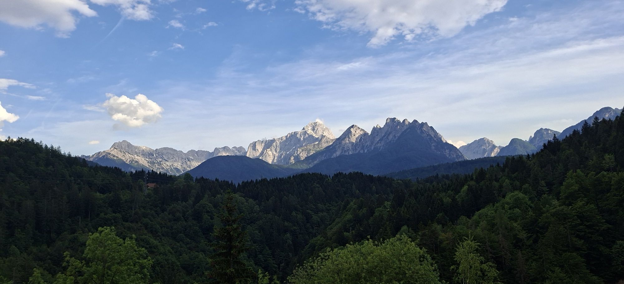
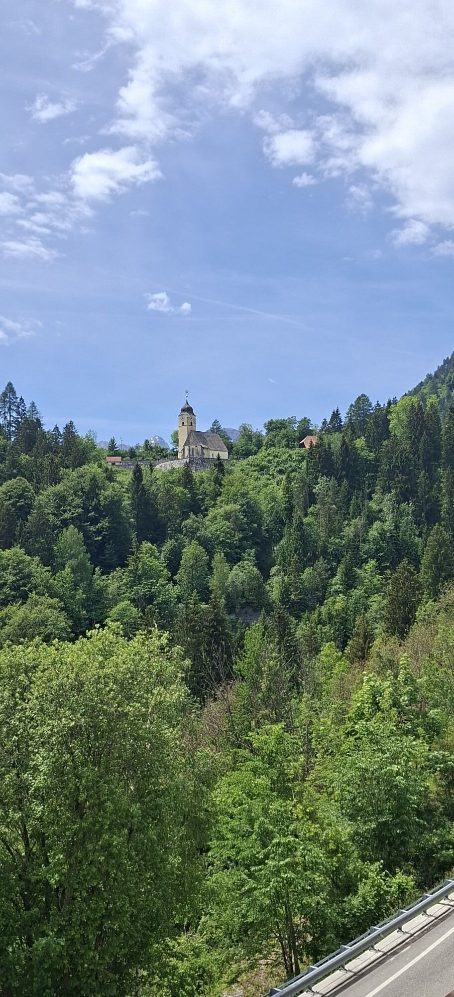
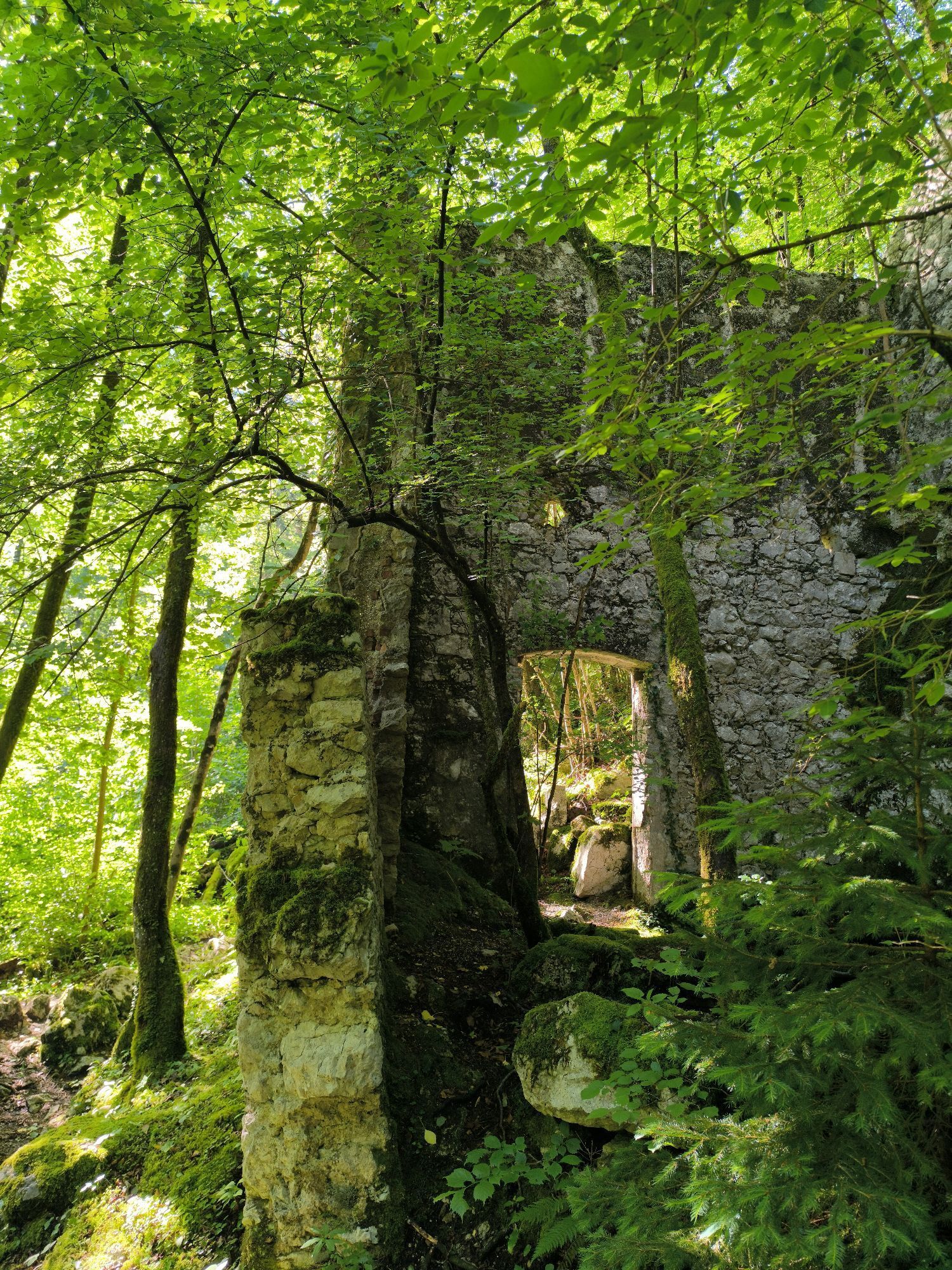
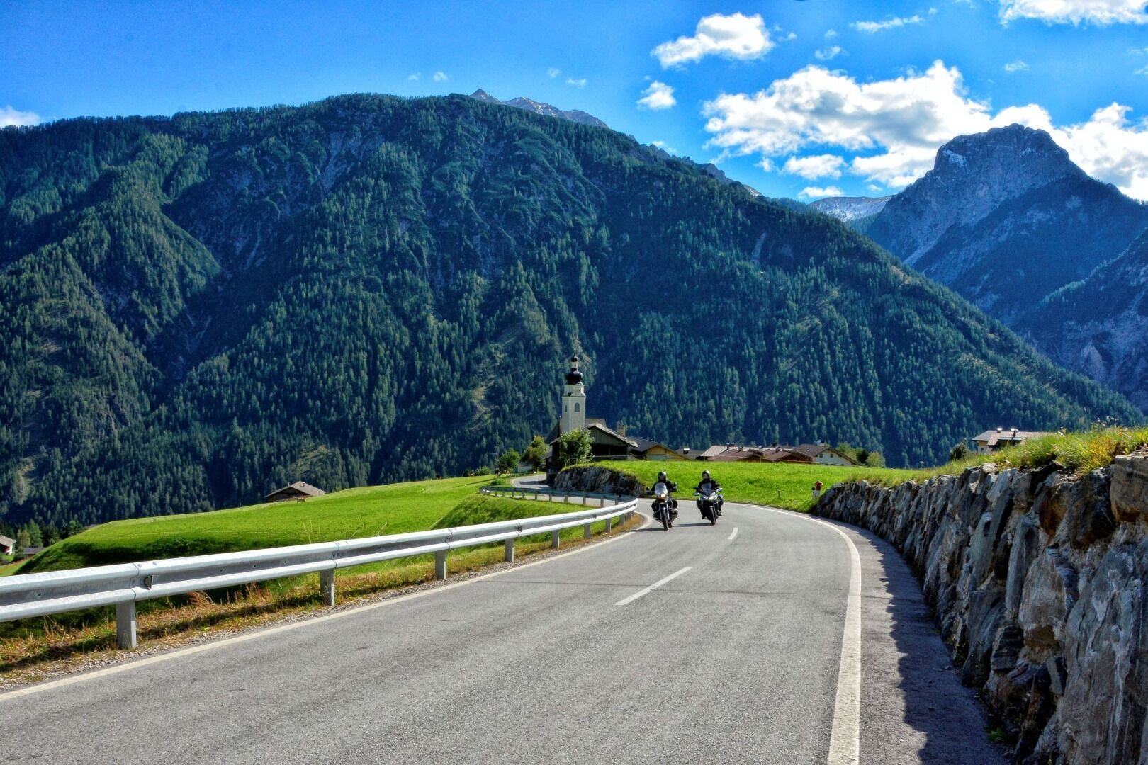
This tour day in the Julian Alps is also guaranteed to be remembered. It already starts with the drive over the 1,530 m Nassfeldpass, which is called Passo di Pramollo after crossing the border into Italy....
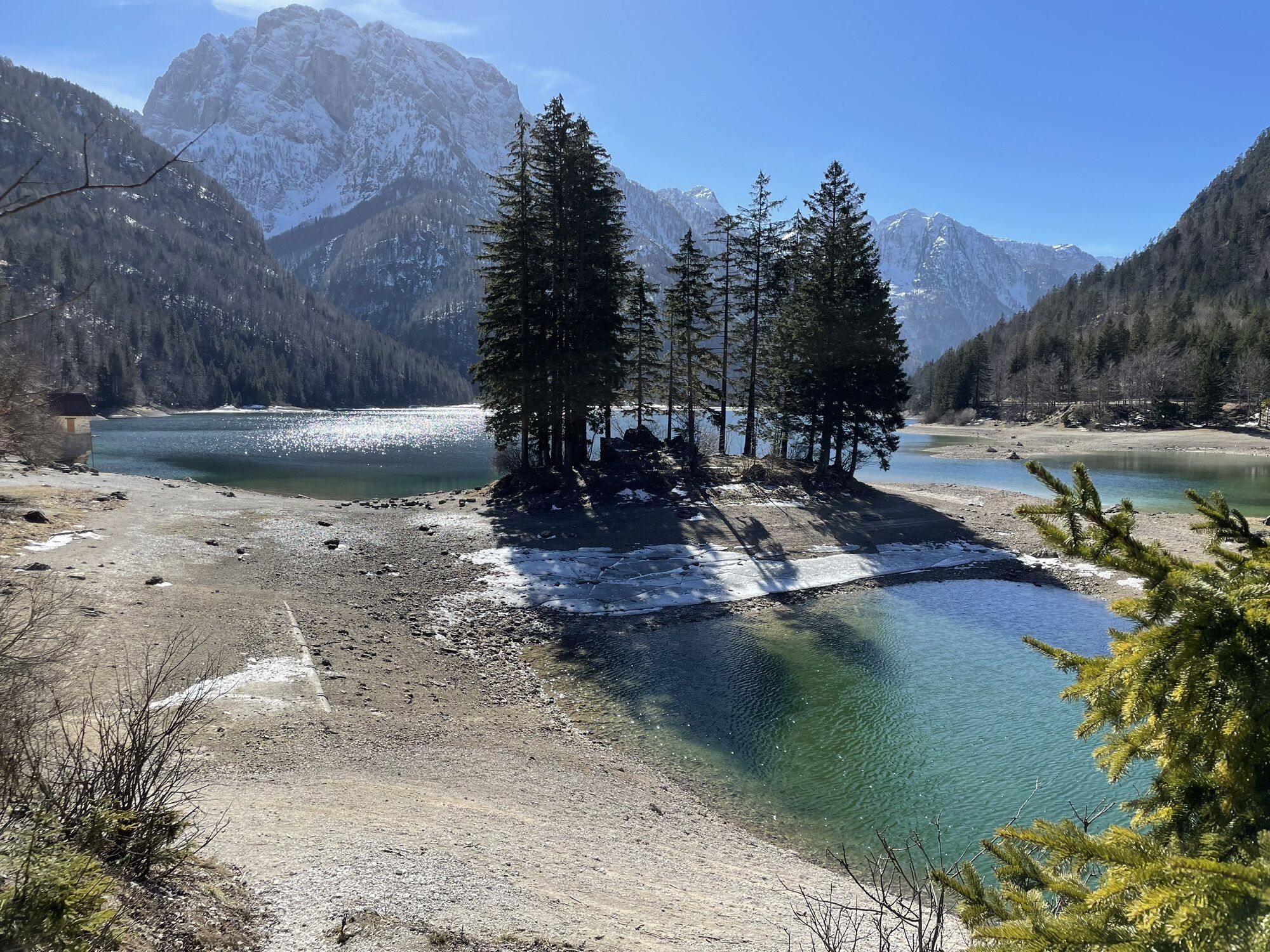
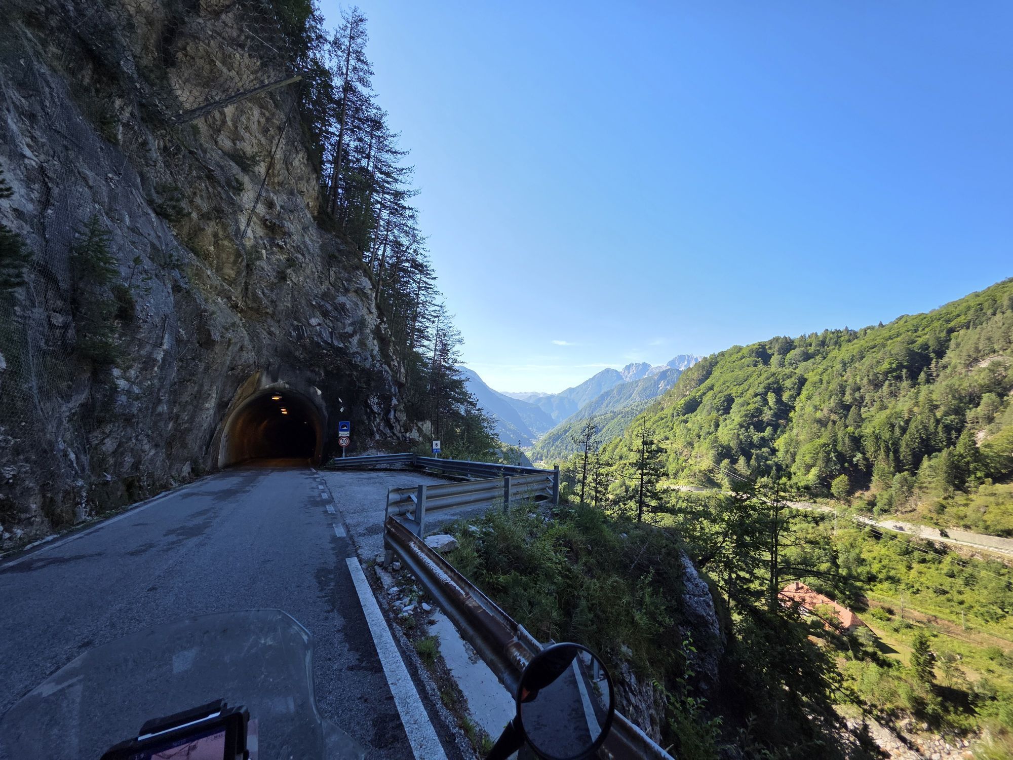
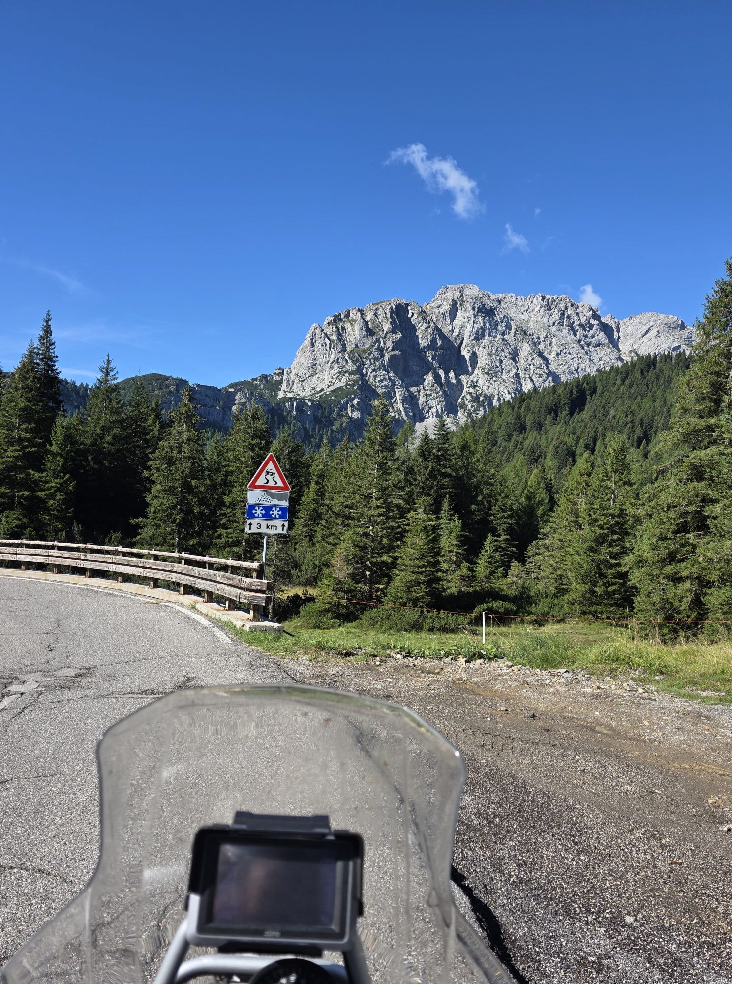
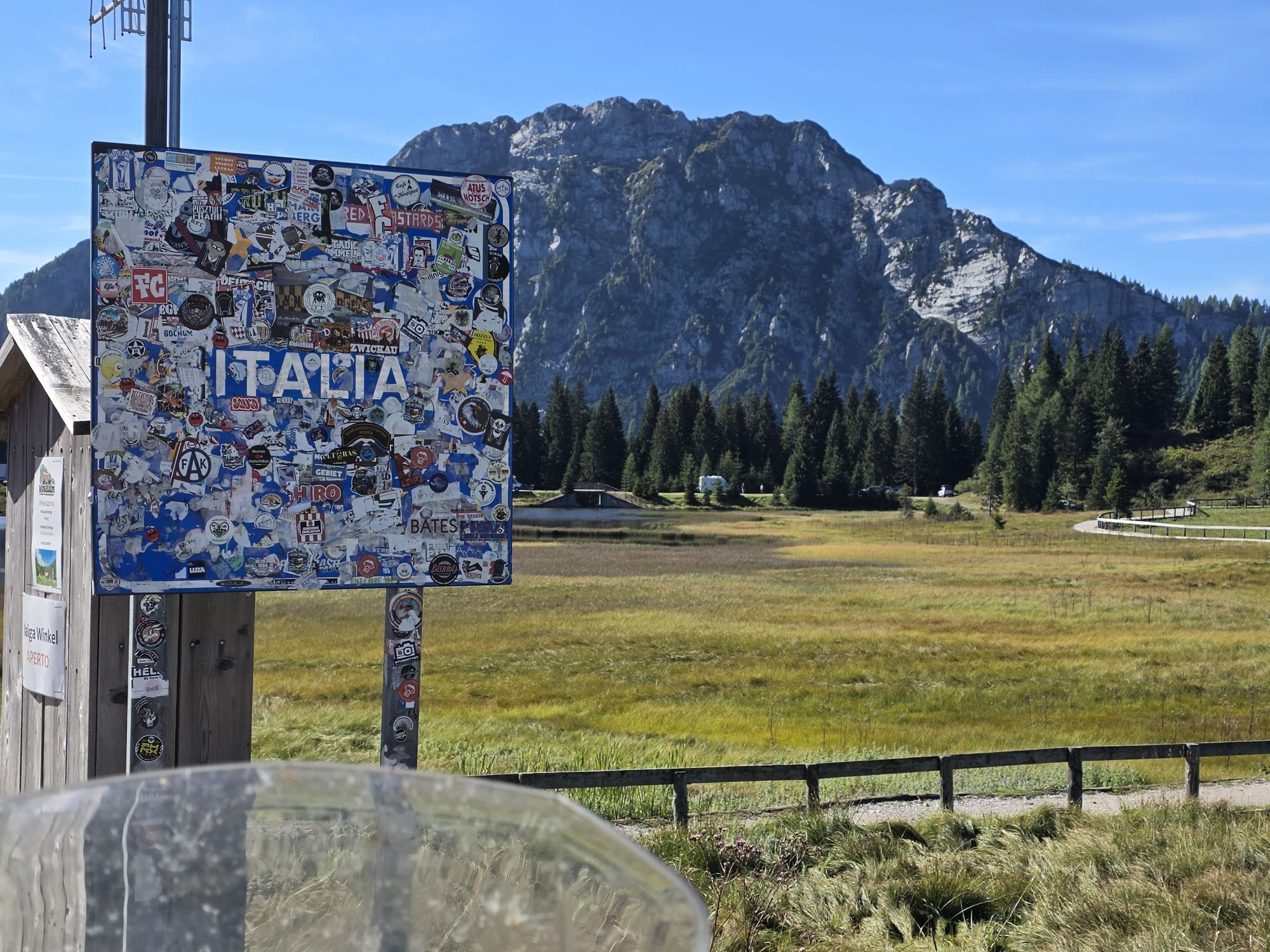
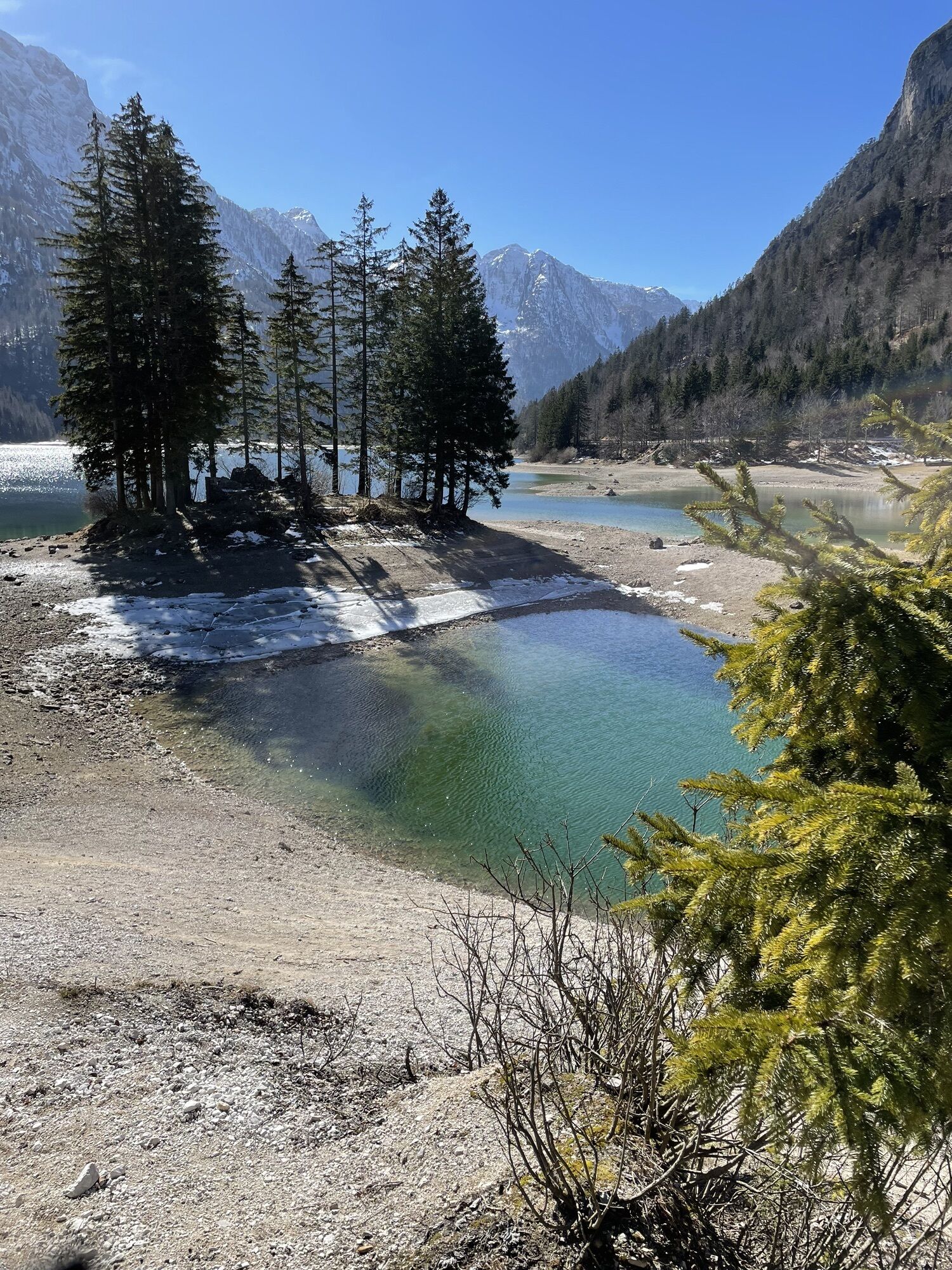
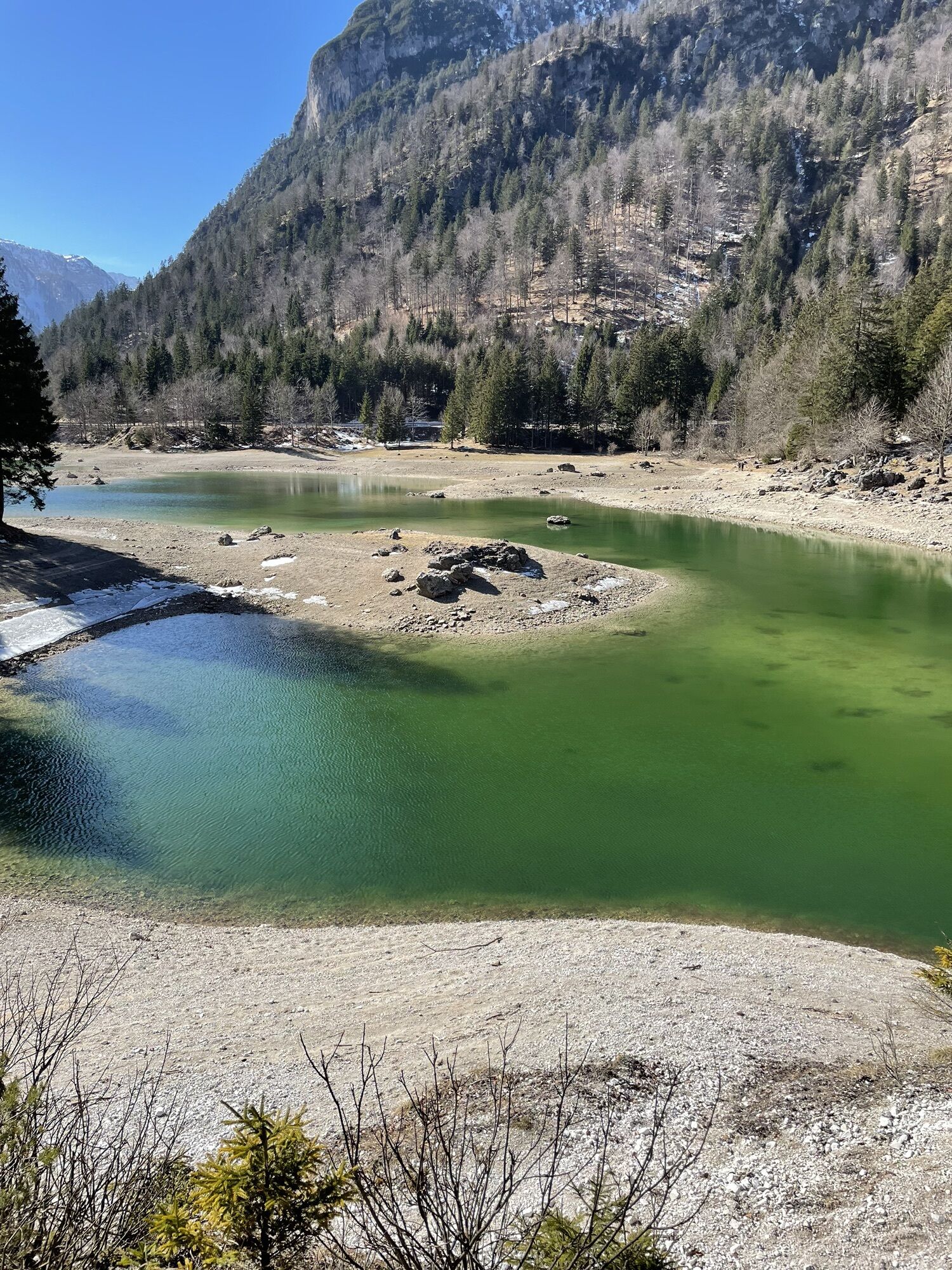
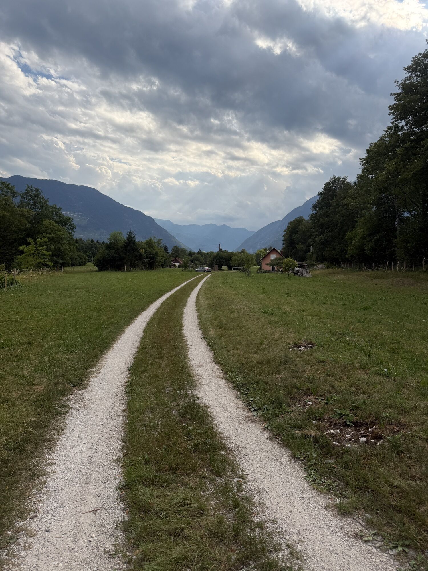
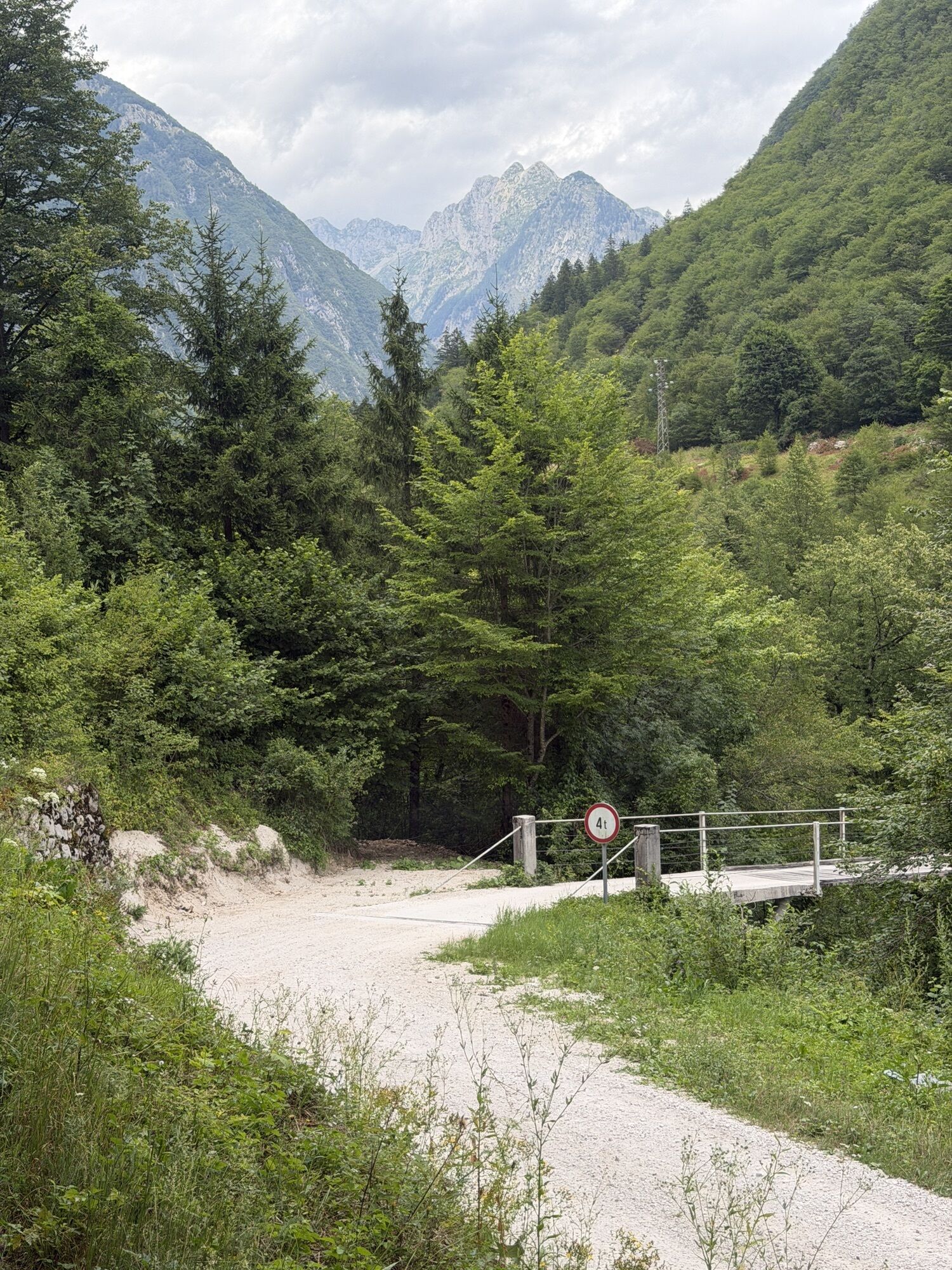
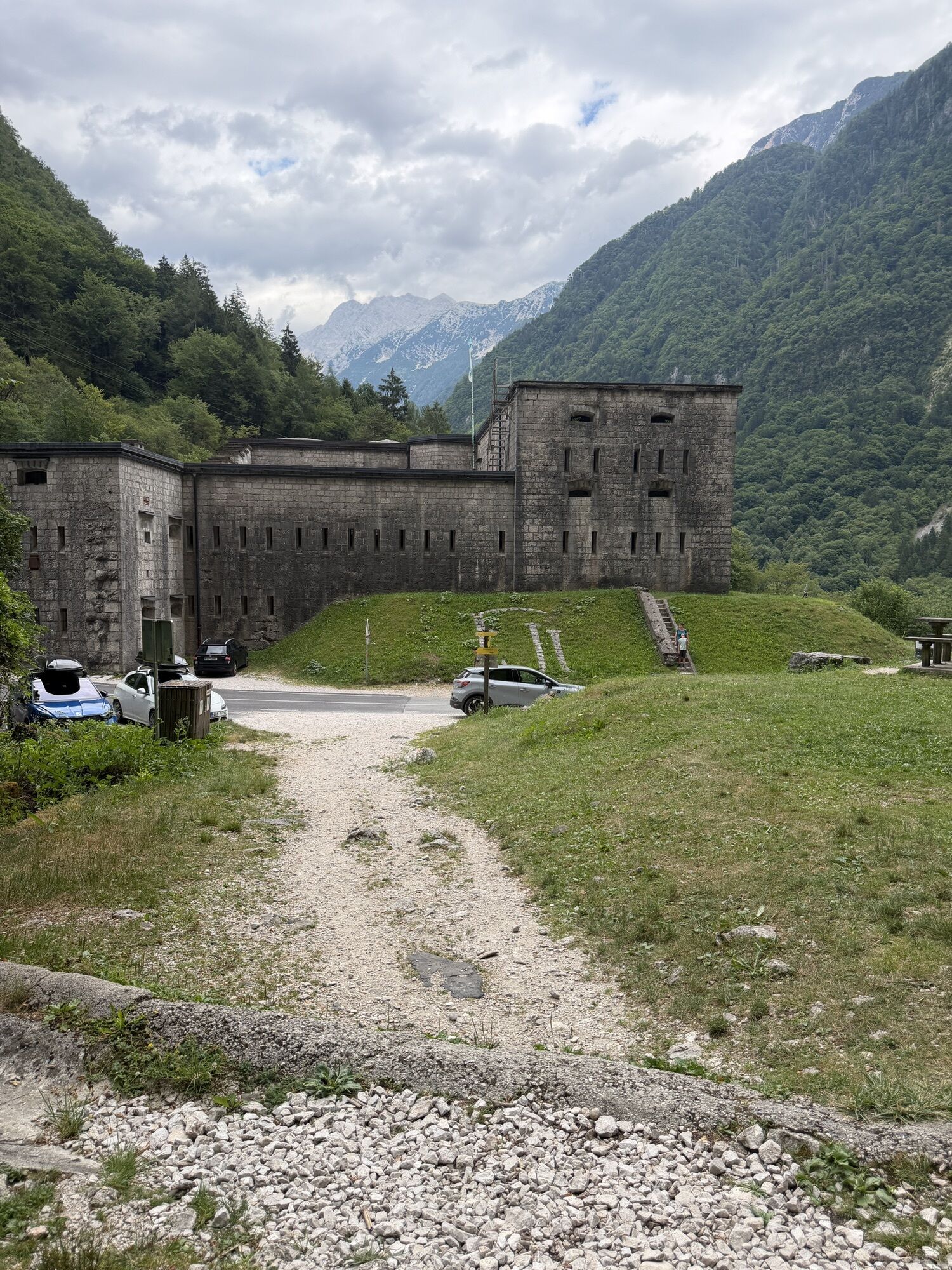
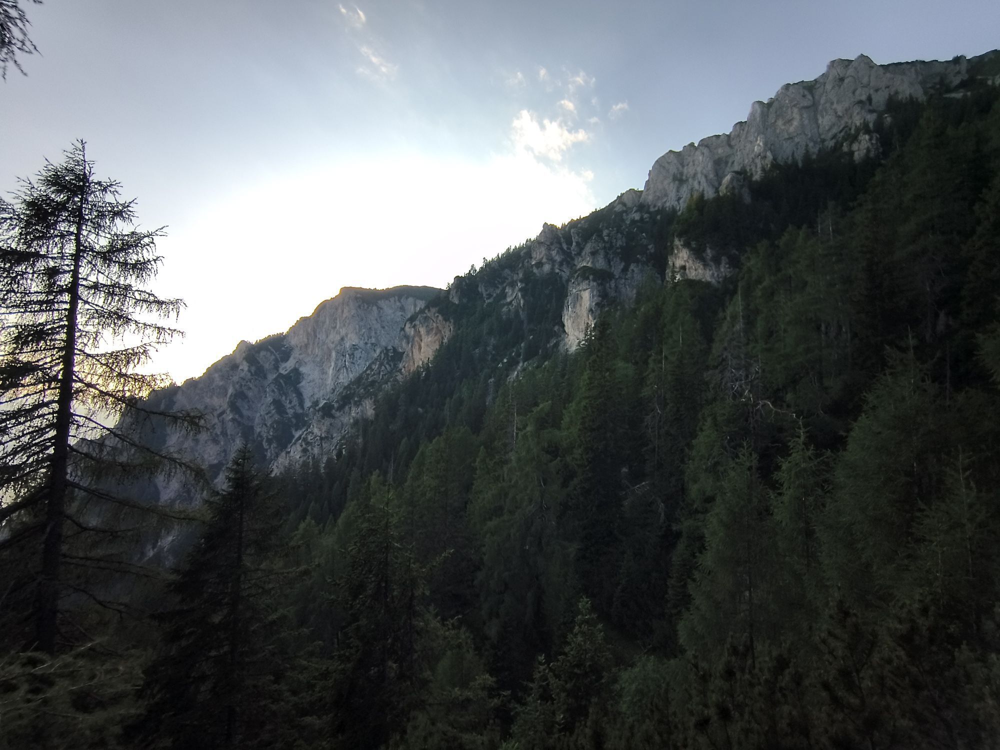
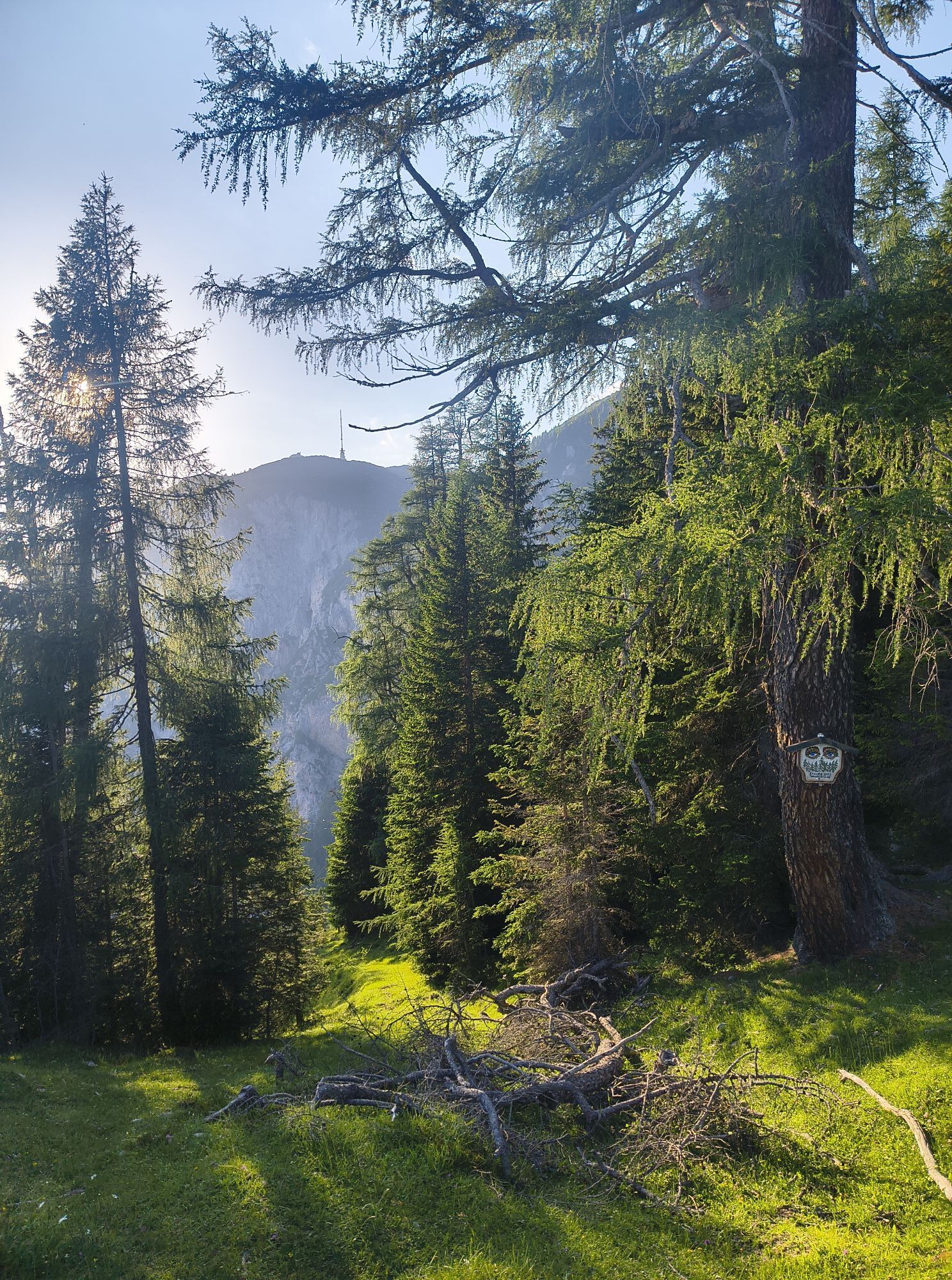
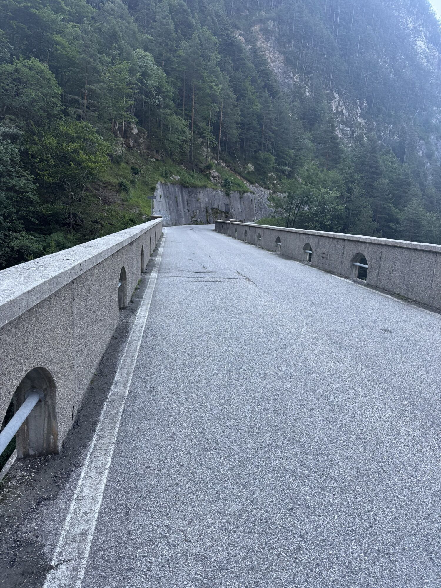
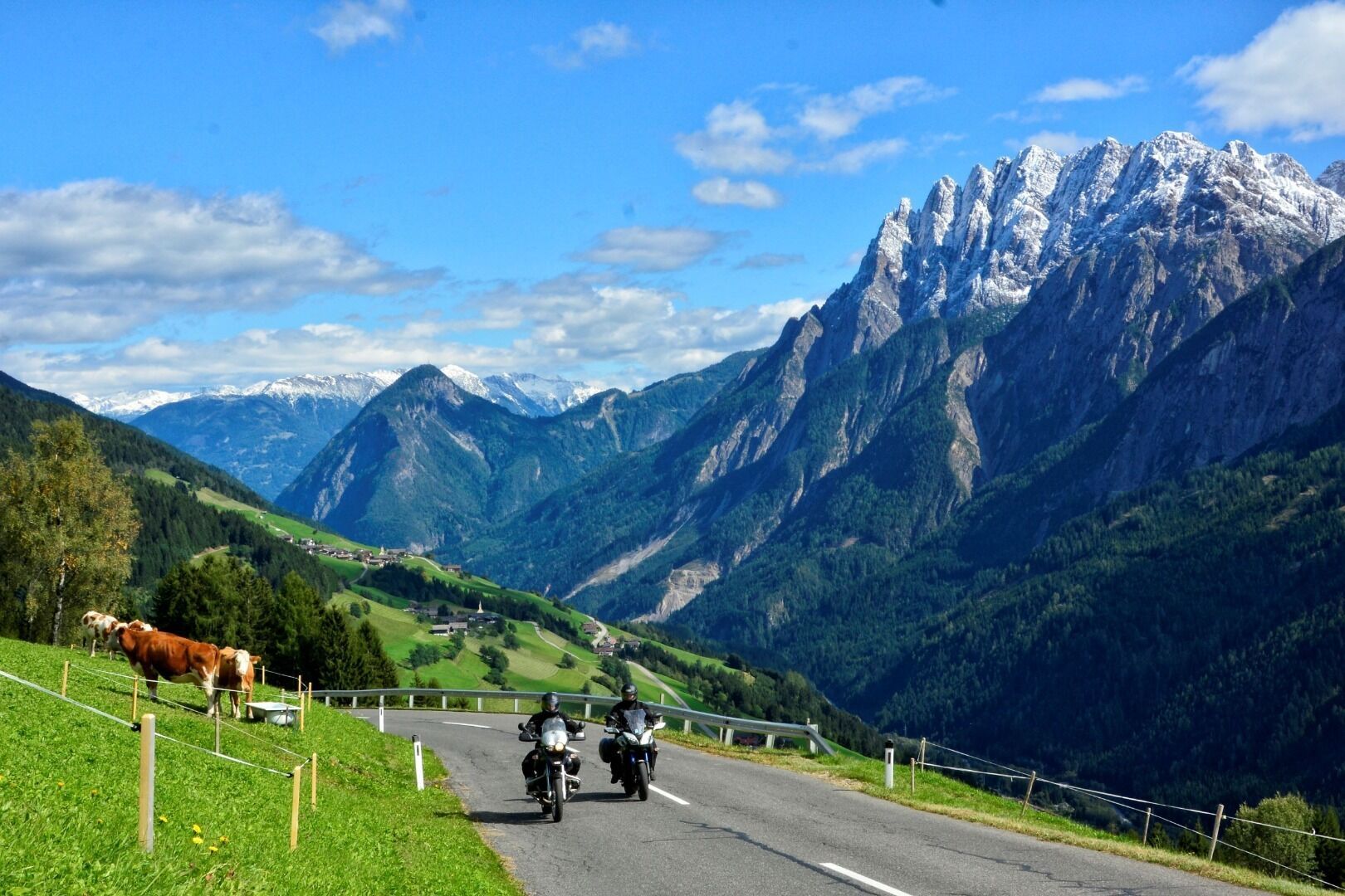
This tour day in the Julian Alps is also guaranteed to be remembered. It already starts with the drive over the 1,530 m Nassfeldpass, which is called Passo di Pramollo after crossing the border into Italy. The Sella di Cereschiatis spirals the drive in a southerly direction. A fascinating short visit to Slovenia follows, culminating in a ride on the Mangart road. The Predil Pass then leads back to Italy, where a stop at Lake Predil is definitely worthwhile. Via Hermagor you then return to the starting point of the loop.
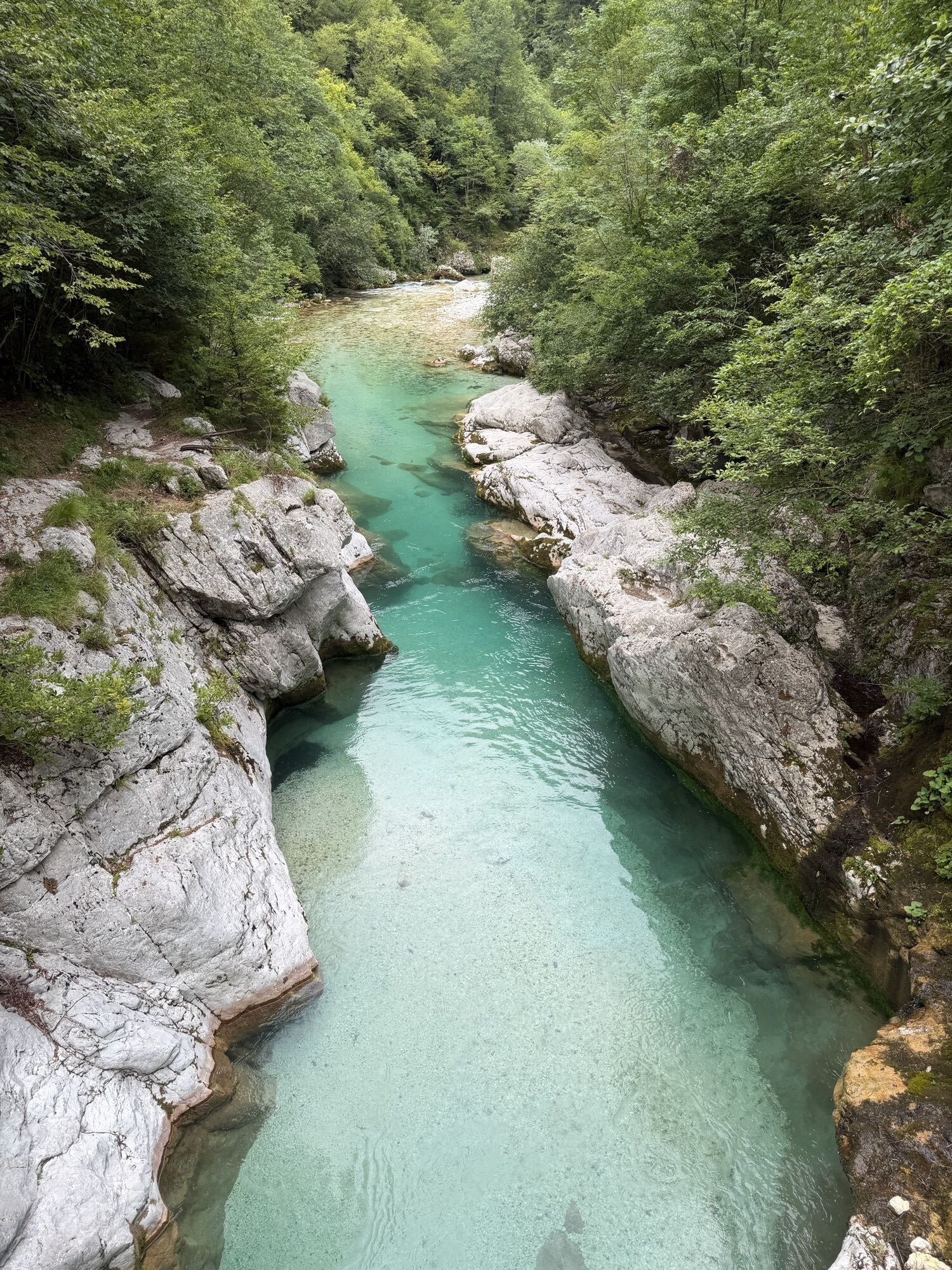
Extra tip: "Get up early" is the motto if you want to tackle the dotted alternative loop. With the valley of the emerald-coloured SoÄa, the 50 hairpin bends of the VršiÄpass and the bendy experiences on the Villach Alpine road, a longer day of touring is on the cards.


This information serves as a guide and does not claim to be exhaustive. Equipment must always be adapted to the tour destination, weather conditions, season, natural hazards, environmental influences, and personal needs.
Kamery internetowe z trasy
Aquarena
Gartnerkofel
Tressdorfer Höhe
Hermagor - Presseggersee
Zettersfeld /Obergaimberg
Nassfeldpass
Dobratsch
Dobratsch
Hermagor - Presseggersee
Lienz/Zettersfeld
Tressdorfer Höhe
Tressdorfer Höhe
Nassfeld Hubschrauberlandeplatz
Lienz Hauptplatz
Tristachersee
Amlach - Naturrodelbahn Lienzer - Dolomiten
Nassfeld - Sonnleitn
Kötschach-Mauthen - Alpencamp Kärnten
Dobratsch
Reißkofel - Gundersheim
Kanin
Kanin
Kanin
Strandbad Hermagor / Pressegger See
Antonischacht - Bad Bleiberg
Tressdorfer Höhe
Rudnigsattel
Fledermaushaus
Marktgemeinde Oberdrauburg
Kabeg LKH-Laas
Kötschach-Mauthen - Übungshang
Kanin
Stol
Bovec
Lienz Faschingalm
Stol
Dolomitenhütte
EuroParcs Hermagor · Nassfeld
Log pod Mangartom
Log pod Mangartom - Encijan

Popularne wycieczki w okolicy
- 4,7
Soca Trail
światłoWędrówka 23,0 km - 4,6
Kozjak Wasserfall und Soča
światłoWędrówka 5,18 km - 4,5
Cima di Terra Rossa
Wędrówka 4,90 km - 4,8
Cima di Terrarossa
średniWycieczka wysokogórska 9,35 km - 4,0
Boka Wasserfall
średniWędrówka 1,94 km - 5,0
Prestreljenik Window (2390 m) – dramatic view of the Western Julian Alps
średniWycieczka narciarska 14,5 km - 4,7
Kobarid - Stari grad - Restaurant Kamp Lazar - Veliki Kozjak
średniWędrówka 8,98 km - 4,5
Entlang der Soca
światłoWędrówka 8,09 km - 3,7
Predil Lake Loop
średniWędrówka 5,34 km - 3,8
Sella Robon
Wędrówka 12,2 km
Wędrówki i tropienie


Nie przegap ofert i inspiracji na następne wakacje
Twój adres e-mail została dodana do listy mailingowej.





