


TIP Trip Tirol ➤ Gaicht-Pass Panorama road
Poziom trudności: 1
Zdjęcia naszych użytkowników
-
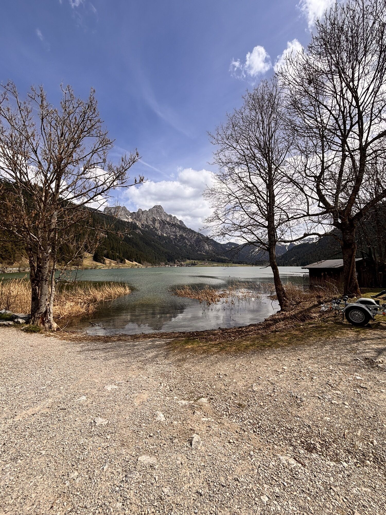
 © Alexis SauterUtworzono dnia 18.04.2026
 -

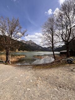
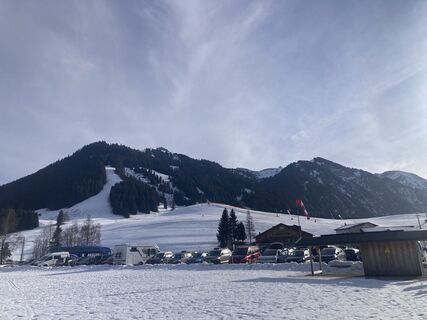
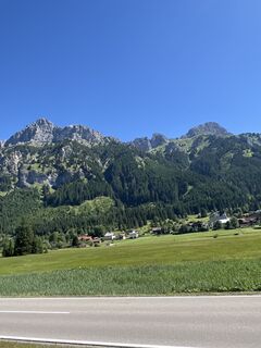
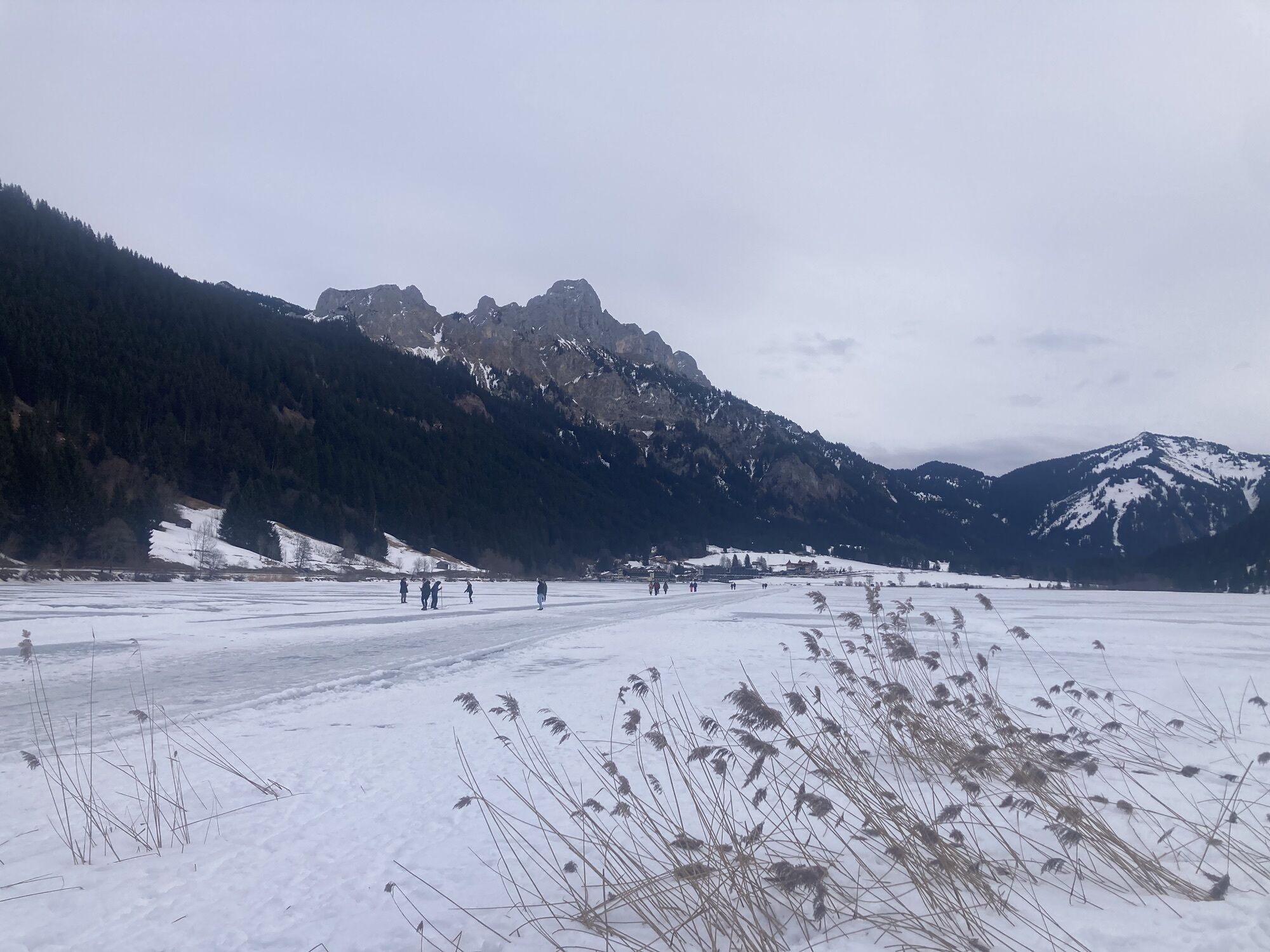
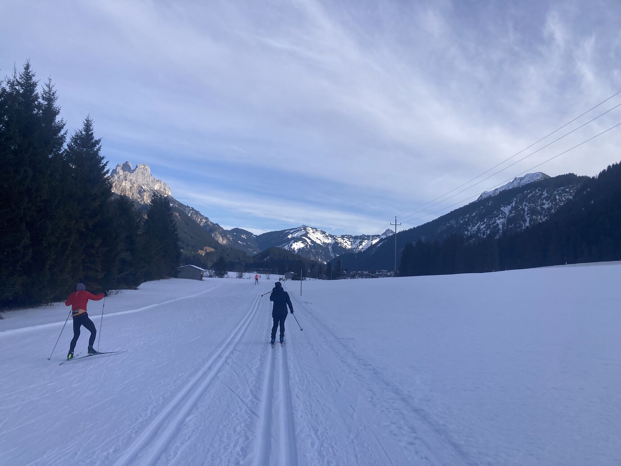
 © Helmut ScheurerUtworzono dnia 25.01.2026
 -
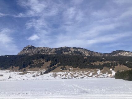
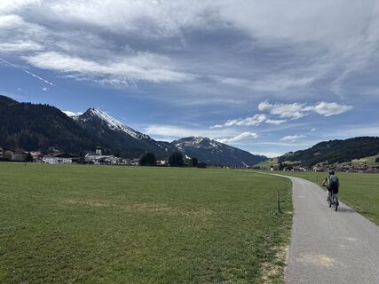
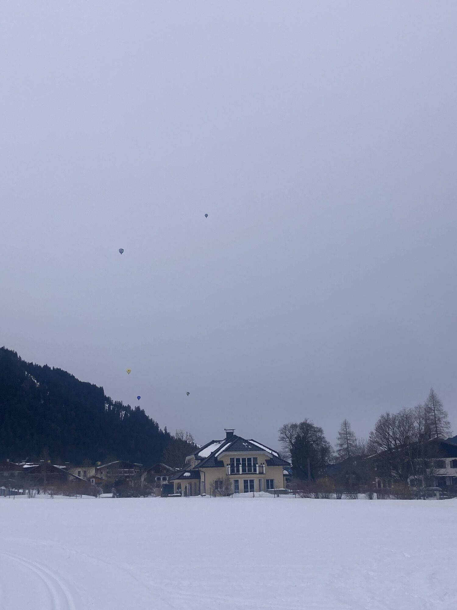
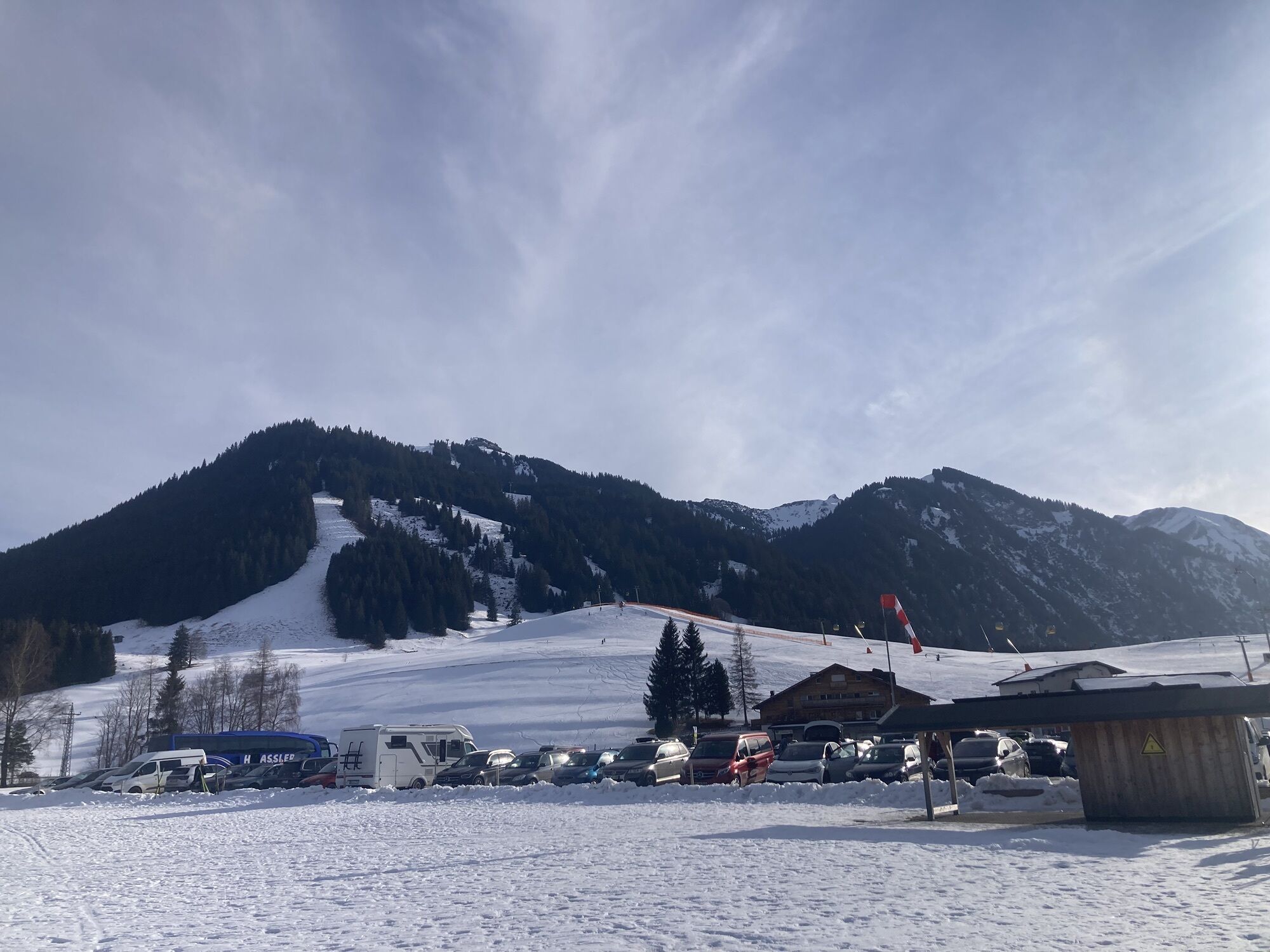
 © Helmut ScheurerUtworzono dnia 25.01.2026
 -
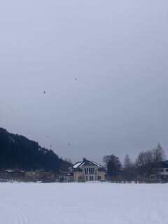
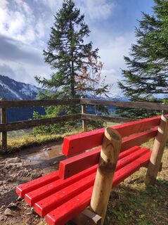
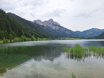
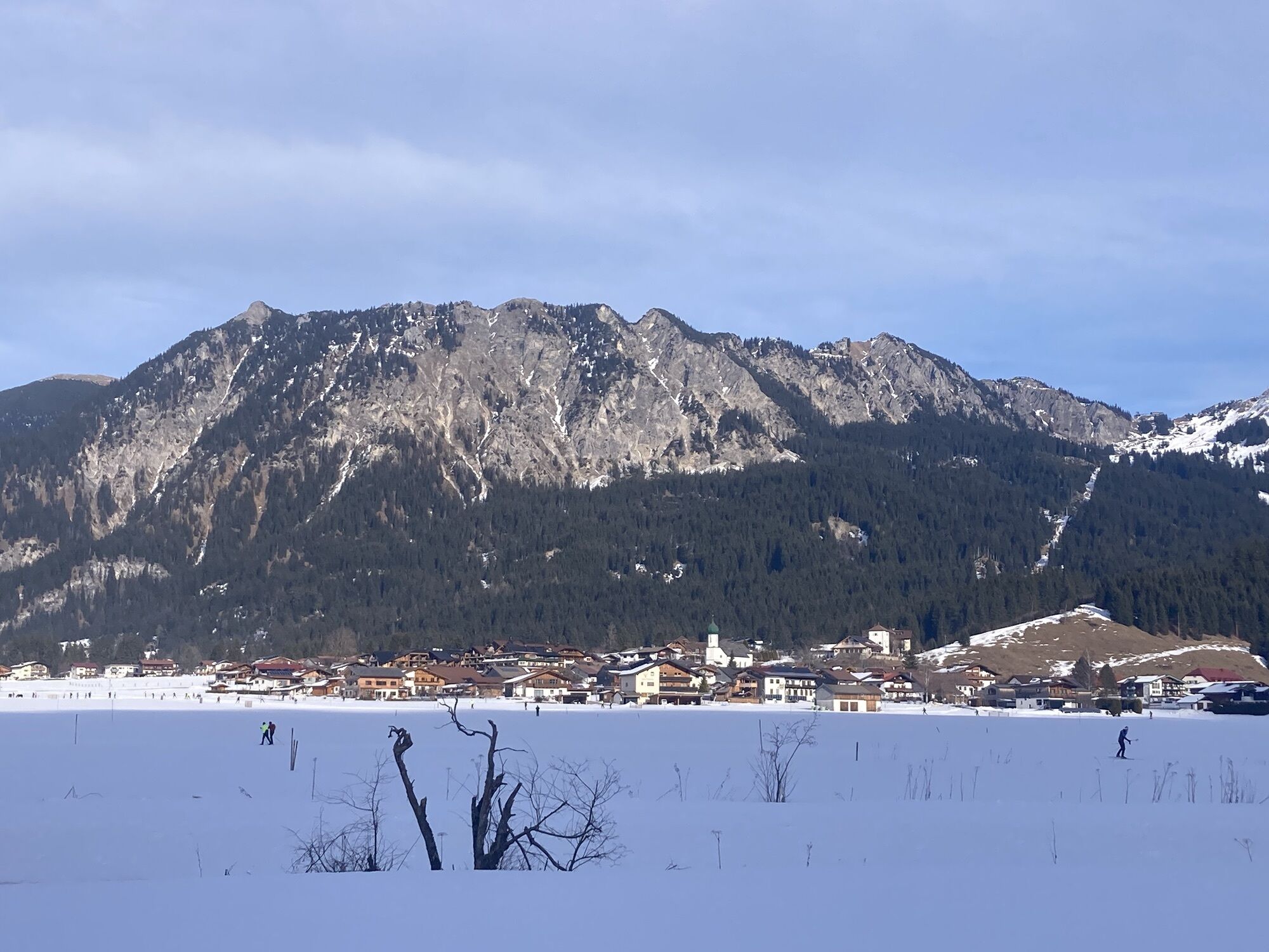
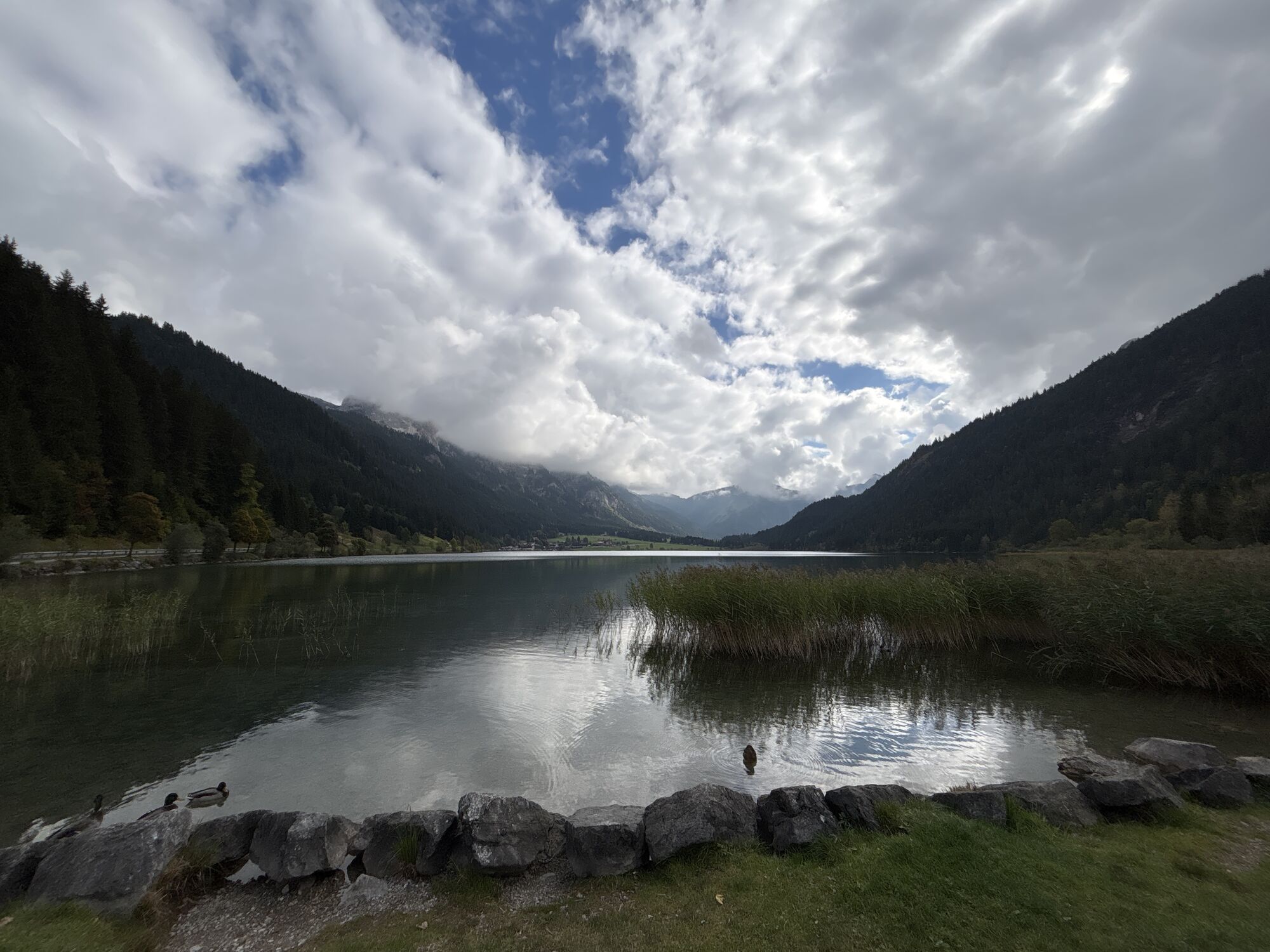
 © Helmut ScheurerUtworzono dnia 24.01.2026
 -
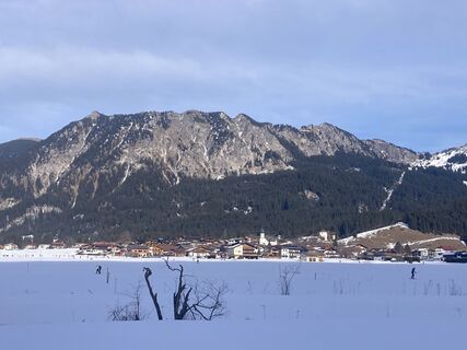
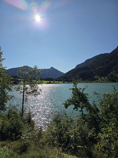
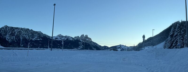
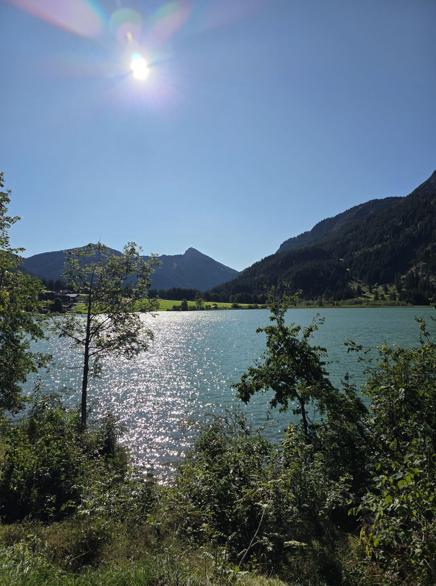
 © Helmut ScheurerUtworzono dnia 24.01.2026
 -
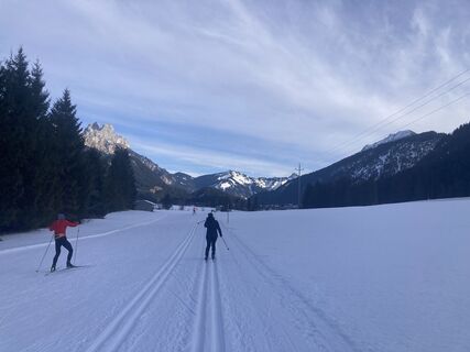
 © Helmut ScheurerUtworzono dnia 24.01.2026
 -
 © Helmut ScheurerUtworzono dnia 24.01.2026
 -
 © BairebikeUtworzono dnia 26.10.2025
 -
 © M KremsiUtworzono dnia 29.09.2025
 -
 © Rainer KieningUtworzono dnia 06.09.2025
 -
 © Eduard SteinlechnerUtworzono dnia 29.06.2025
 -
 © SimilaunUtworzono dnia 16.04.2025
 -
 © KatharinaUtworzono dnia 08.06.2024
 -
 © Andreas StopperichUtworzono dnia 13.01.2024
 -

 © Lukasz KusUtworzono dnia 10.02.2023


💚 The first road was already built by the Romans and expanded in the Middle Ages as an important trade route for the transport of wine and salt. The first modern route was created at the beginning of the...
ð The first road was already built by the Romans and expanded in the Middle Ages as an important trade route for the transport of wine and salt. The first modern route was created at the beginning of the 20th century and was expanded in 1957.
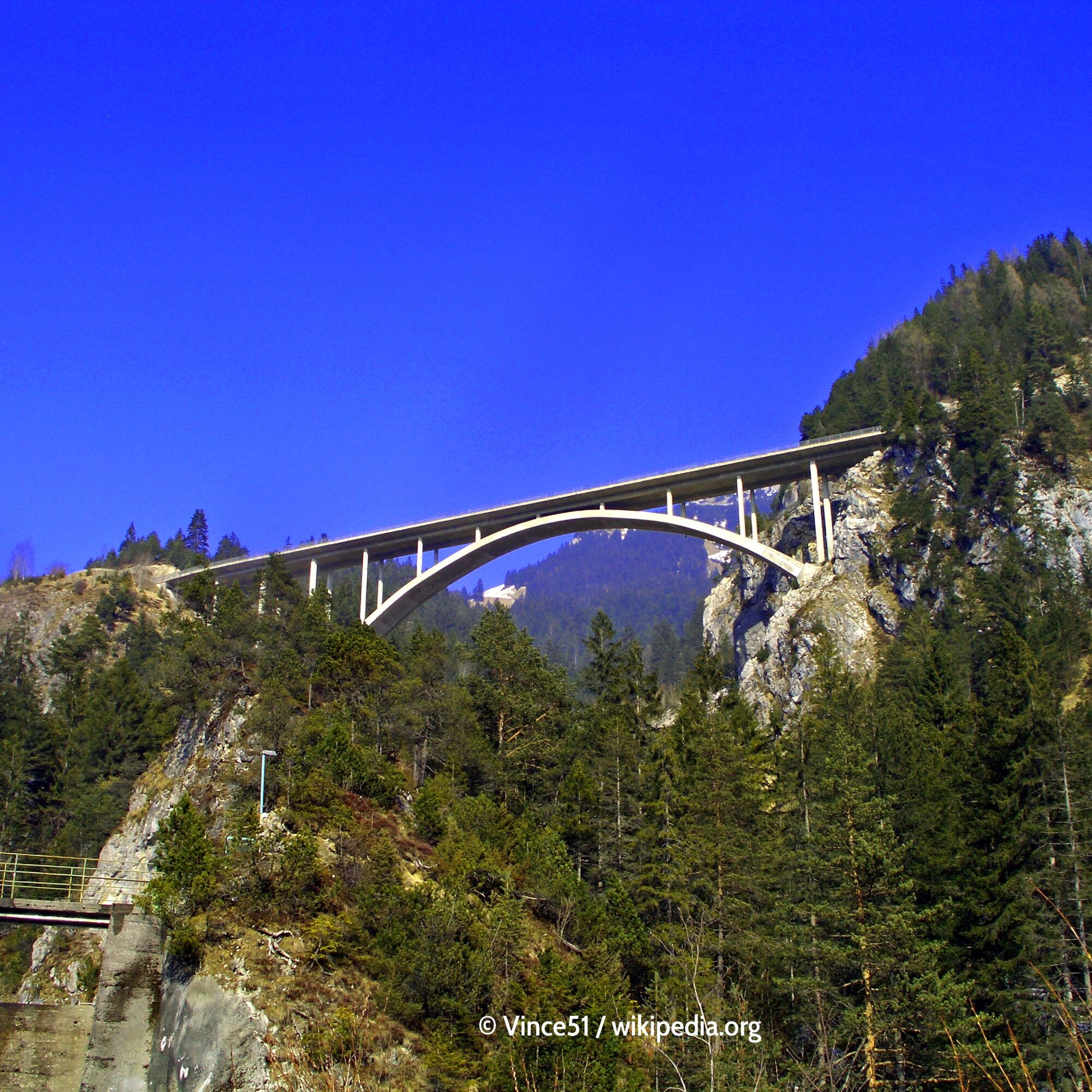
ð Today, it presents itself under the name Tannheimer Straße B199 as well-developed and connects the Tannheimer Tal with Weißenbach am Lech over 24 kilometers. The original mountain pass road was located about 150 meters lower in the valley floor in earlier times. You can get a view of the old road from the Gemstol bridge. It is no longer allowed to be driven today.
ð At the top of the pass there is a parking lot on the right with a view into the Lechtal. Exactly opposite on the left side of the road, the old pass road leads a bit into the gorge to the old pass inn. Homemade fruit brandy is offered here.
ðHeight 1089 m
𡱠57 m 𡳠278 m
Slope: Ø𡱠4.9 % 𡳠5.5 %
Max: ð¡±7 % 𡳠5 %


ð The Tannnheimer federal road B 199 leading over the Gaichtpass connects Weißenbach (SO) in the Lechtal with Nesselwängle in the Tannheimer Tal (NW). The Gaichtpass – already an important trade route in the Middle Ages – is a so-called valley or bottleneck, whose "summit" is located in the gorge-like Weißenbachtal. The original route, which used to run along the valley floor and only in the northern part on the mountainside, is no longer (legally) passable today. The current route passes the bottleneck on the northeastern valley flank, about 150 m above the valley floor.
Tak
Tak
Tak
Motorcycle: ⤠Motorcycle helmet ⤠Motorcycle gloves ⤠Motorcycle boots ⤠Motorcycle jacket and pants
Convertible: ⤠Baseball cap ⤠Sunscreen ⤠Sunglasses ⤠Convertible ?!?!
Always pay attention to the road surface
ð General travel information
ð Travel by car For travel by car, you have absolutely winter-safe roads at your disposal. Guests from our northern neighboring countries travel the Lechtal on toll-free roads.
ð Travel from Ulm (A7): Option 1: Ulm (A7) – Füssen border tunnel – Reutte – Lechtal Option 2: Ulm (A7) – Oy/Mittelberg exit – Oberjoch – Tannheimer Tal – Weißenbach – Lechtal
ð Travel from Switzerland: Via A1 towards Dornbirn - continue via Bödelestraße to Warth and on B198 in Lechtal. Alternatively in summer also via A1/E60 and S16 via Langen a.A./Klösterle and Lech a.A: continue to Warth and Steeg in Lechtal.
Better with convertible or motorcycle ð
Adequate parking spaces available
ð Holiday in Tyrol â search & book
1
ð The Gaichtpass has been crossed by people for centuries. The first road was already built by the Romans and expanded in the Middle Ages as an important trade route for the transport of wine and salt. The first modern route was created at the beginning of the 20th century and expanded in 1957. ð Today, it presents itself under the name Tannheimer Straße B199 as well-developed and connects the Tannheimer Tal with Weißenbach am Lech over 24 kilometers. The original mountain pass road was located about 150 meters lower in the valley floor in earlier times. You can get a view of the old road from the Gemstol bridge. It is no longer allowed to be driven today.
ð If you turn left towards Reutte, don't make the mistake of blindly following the heavily used main road, but after several hundred meters turn right over the Lech bridge and follow the narrow country road through the Lech meadows via Rieden to Reutte.
Kamery internetowe z trasy
-
Tannheim
-
Höfen Flugplatz
-
Höfen Flugplatz
-
Neunerköpfle Mittelstation
-
Haldensee - Neunerköpfle
-
Weißenbach - Hotel Florence
-
Grän - Almdorf Tirol
-
Neunerköpfle Mittelstation
-
Panoramarestaurant Hahnenkamm
-
Grän - Hotel Bergblick
-
Füssener Jöchle Bergstation
-
Obere Halde
-
Füssener Jöchle Bergstation
-
Füssener Jöchle Bergstation
-
Füssener Jöchle Bergstation
-
Füssener Jöchle Bergstation
-
Tannheimertal
-
Füssener Jöchle Bergstation
-
Füssener Jöchle Bergstation
-
Haller
-
Gundhütte - Tannheimertal
-
Höfen Flugplatz
-
Höfen Flugplatz
-
Höfen Flugplatz
-
Höfen Flugplatz
-
Talstation Neunerköpfle - Tannheim
Popularne wycieczki w okolicy
-
4,8
Thaneller
średniWędrówka 4,90 km -
4,8
Around Weißensee
światłoWędrówka 6,12 km -
4,8
Tannheim / Vilsalpsee / Landsberger Hütte
średniWędrówka 15,7 km -
4,8
3-Gipfel-Tour
średniWędrówka 11,2 km -
3,6
Rundwanderung Plansee
średniWędrówka 9,80 km -
5,0
Hiking tour to Breitenberg
ciężkiWędrówka 15,6 km -
5,0
Gemeinde Grän, Tirol/Österreich Aggenstein Rundtour über Höhenweg
średniWędrówka 9,84 km -
4,2
Three-lake route (awarded the Tyrolean Hiking Trail Seal of Quality)
średniWędrówka 14,8 km -
4,6
3-Seen Rundtour Vilsalpsee / Schrecksee / Traualpsee
średniWędrówka 17,1 km -
4,9
Iseler und Kühgundkopf
średniWędrówka 7,63 km
Wędrówki i tropienie


Nie przegap ofert i inspiracji na następne wakacje
Twój adres e-mail została dodana do listy mailingowej.