


TIP Trip Tirol ➤ Arlberg Pass Alpine Road
Poziom trudności: 1
💚 Its name derives from the arlen bushes, simple dwarf pines found here. And the Arlberg also gave Vorarlberg its name. As early as 1450 the town of Lindau on Lake Constance bought the alpine regions on...
ð Its name derives from the arlen bushes, simple dwarf pines found here. And the Arlberg also gave Vorarlberg its name. As early as 1450 the town of Lindau on Lake Constance bought the alpine regions on the Arlberg and thus gained control over the steadily increasing freight traffic. Only in 1979, with the opening of the Arlberg Tunnel, was the traffic congestion eliminated and the Arlberg Pass itself once again became a little biker’s paradise.
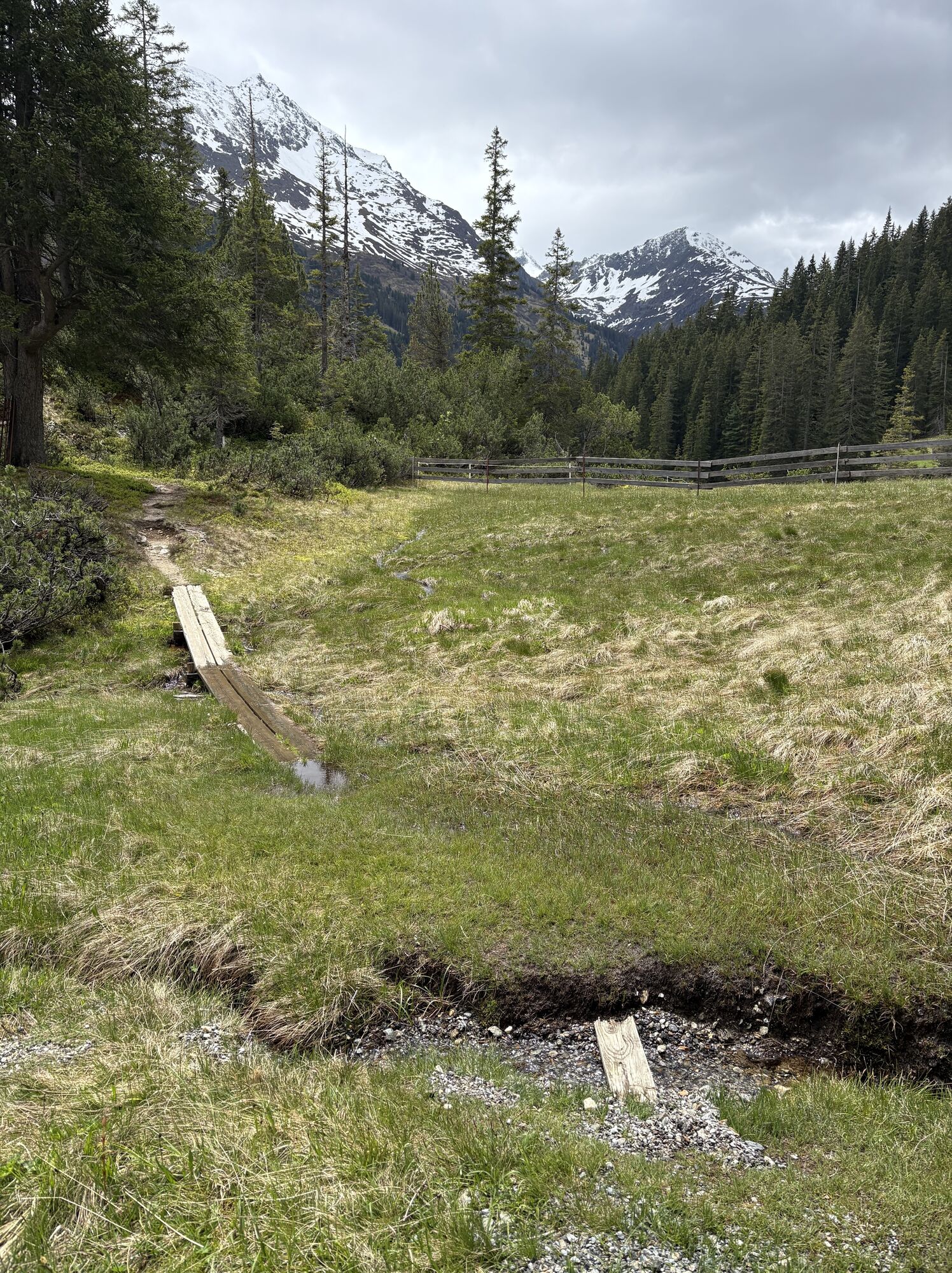
ð Every year in the all too short mountain summer in St. Anton am Arlberg tradition and customs boom: At the Arlberg “Day of Folk Music,” the village festival, the alpine festivals, or the cattle drive in late summer guests are warmly welcomed and may join the celebrations. Those who feel like sport and exercise can discover a nature showing its most beautiful side through hiking, cycling, mountain biking, canyoning, rafting or paragliding. And golfers can even find a 6-hole course in the district of Nassereith.

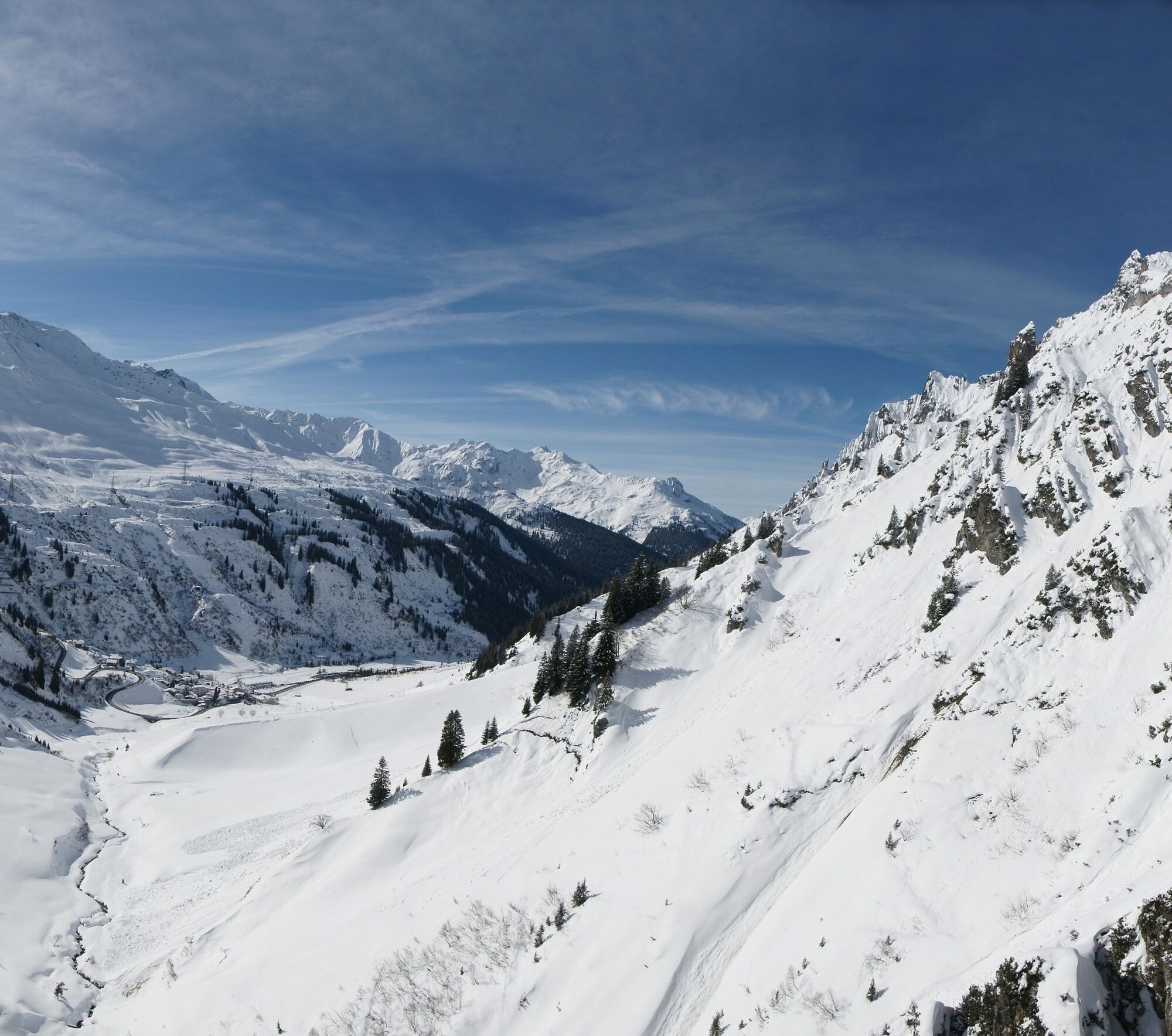
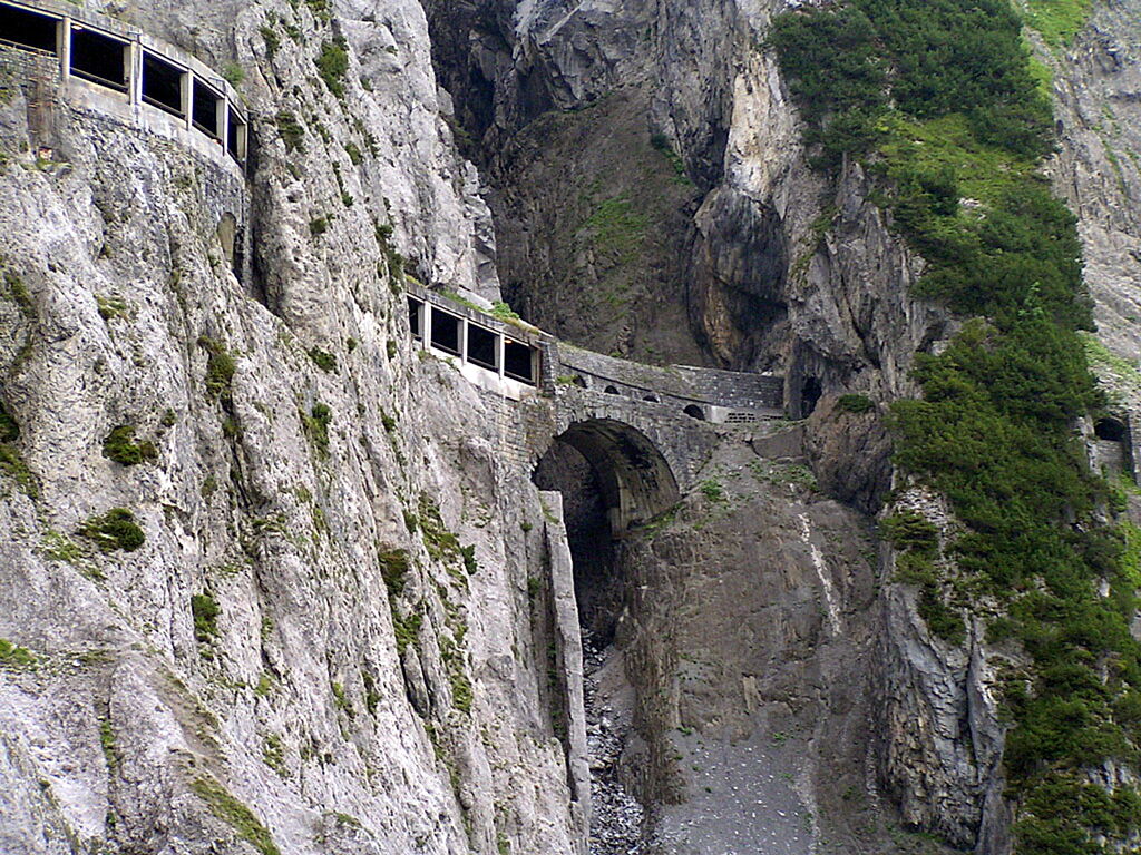
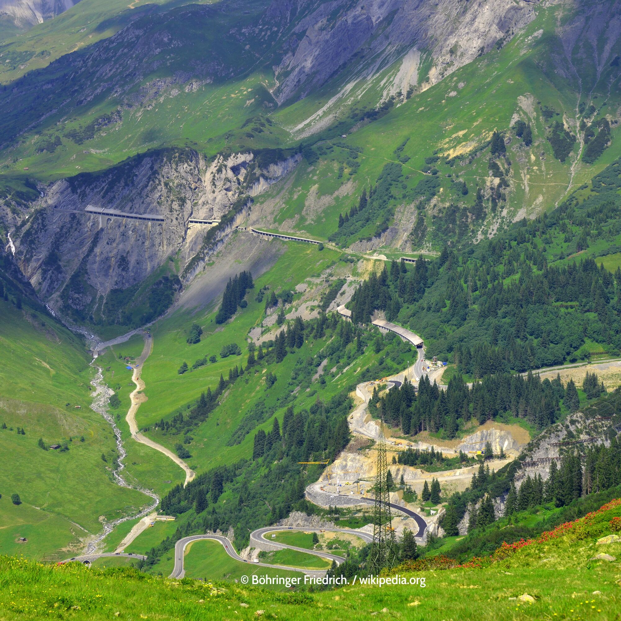
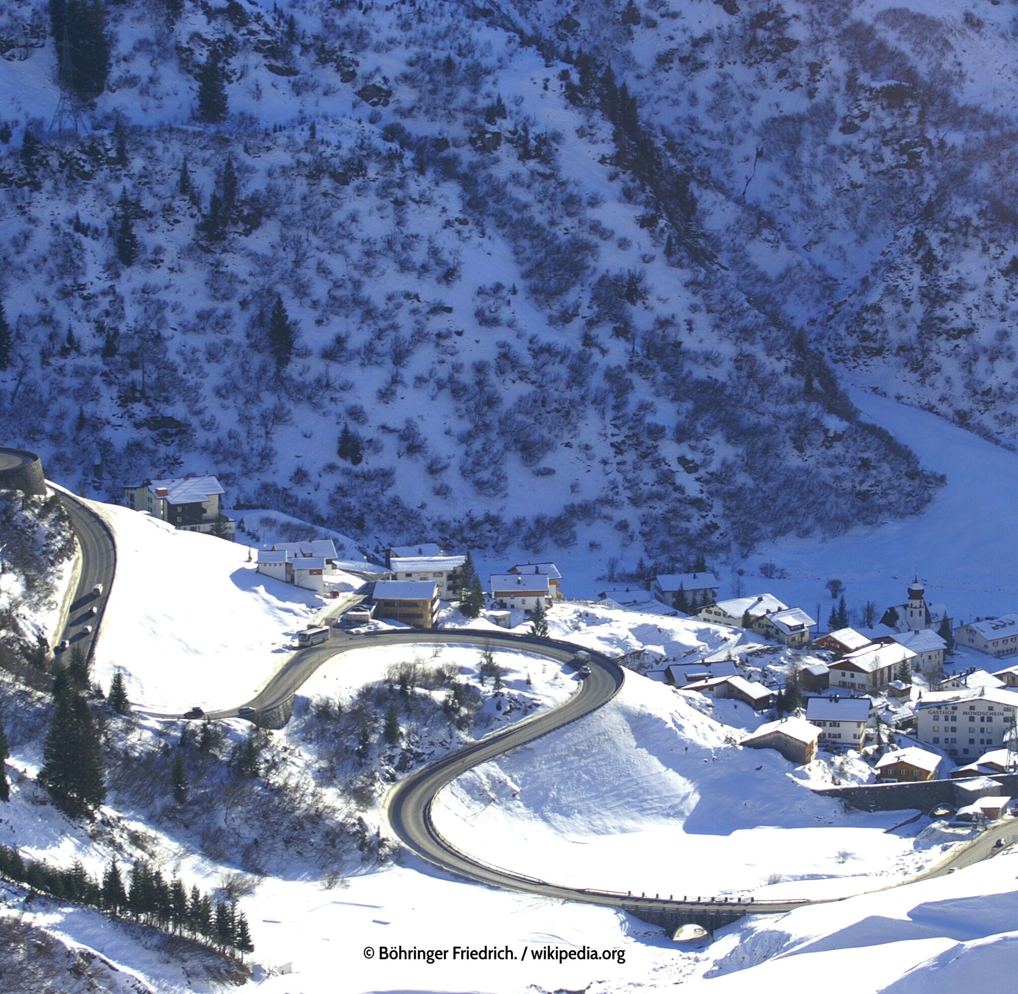
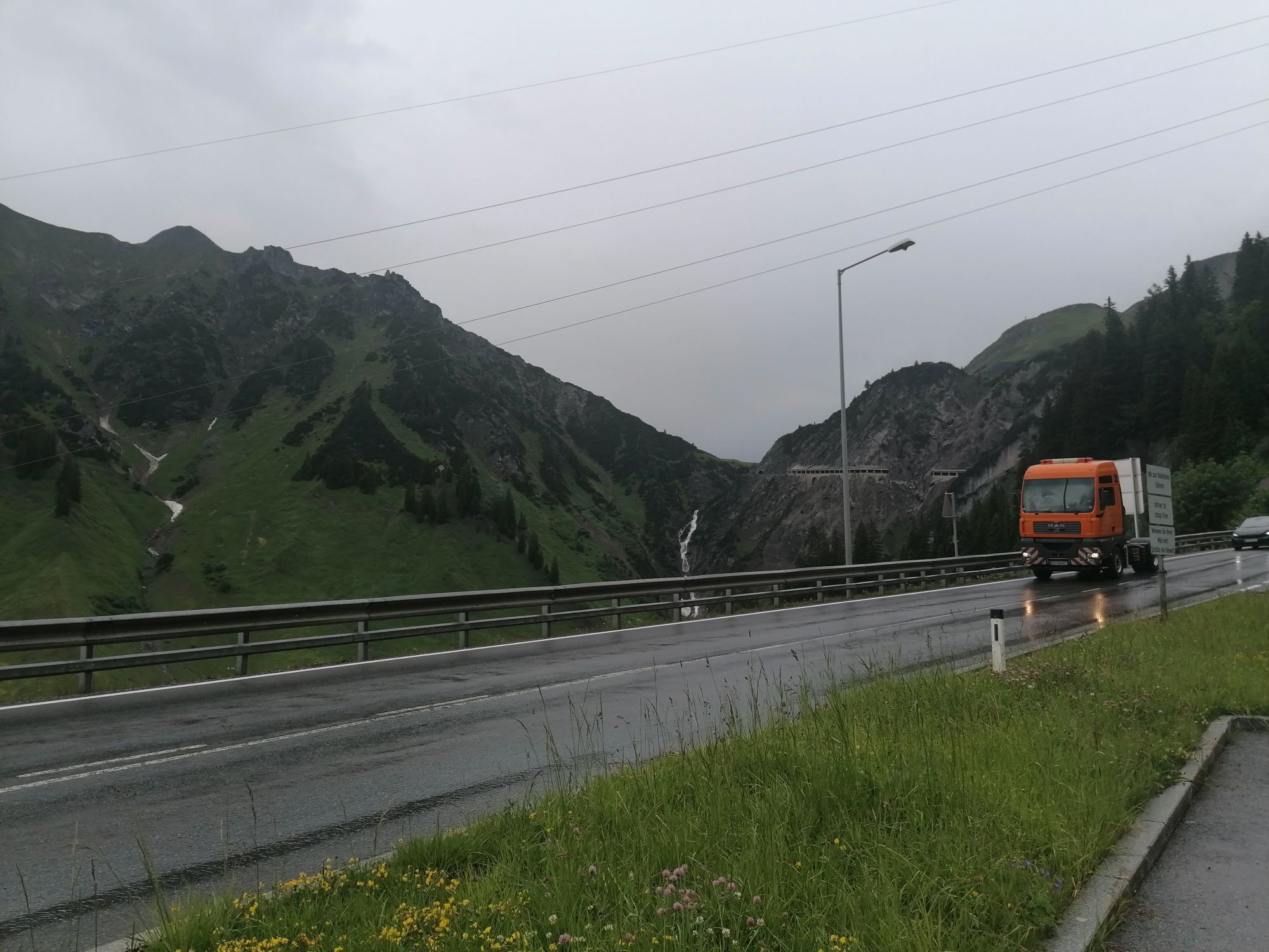
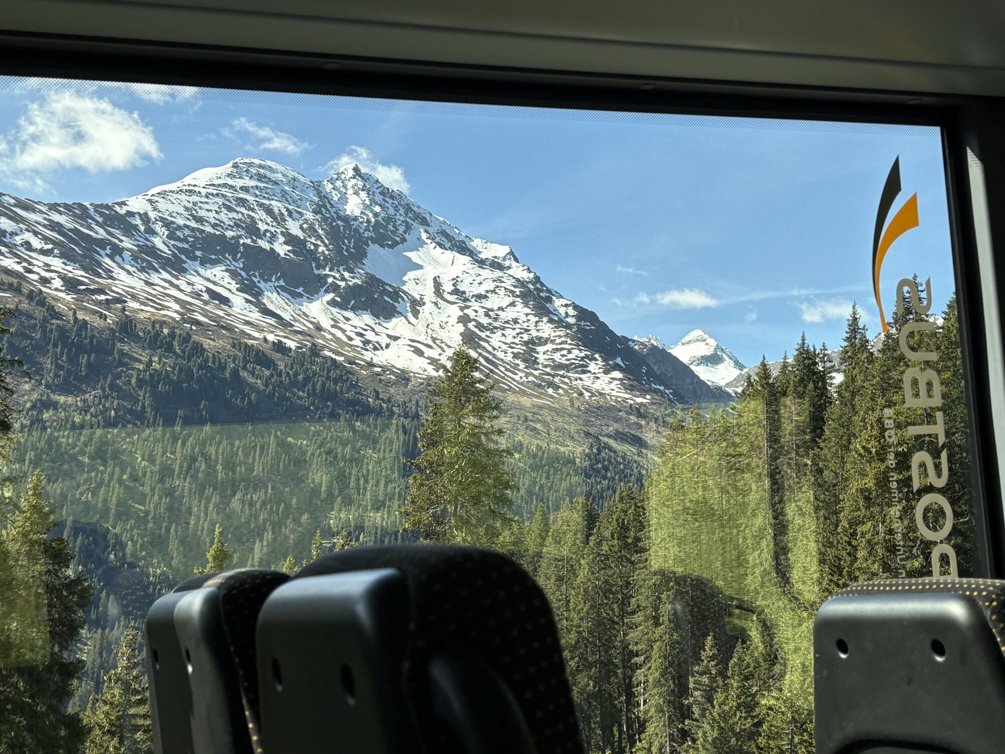
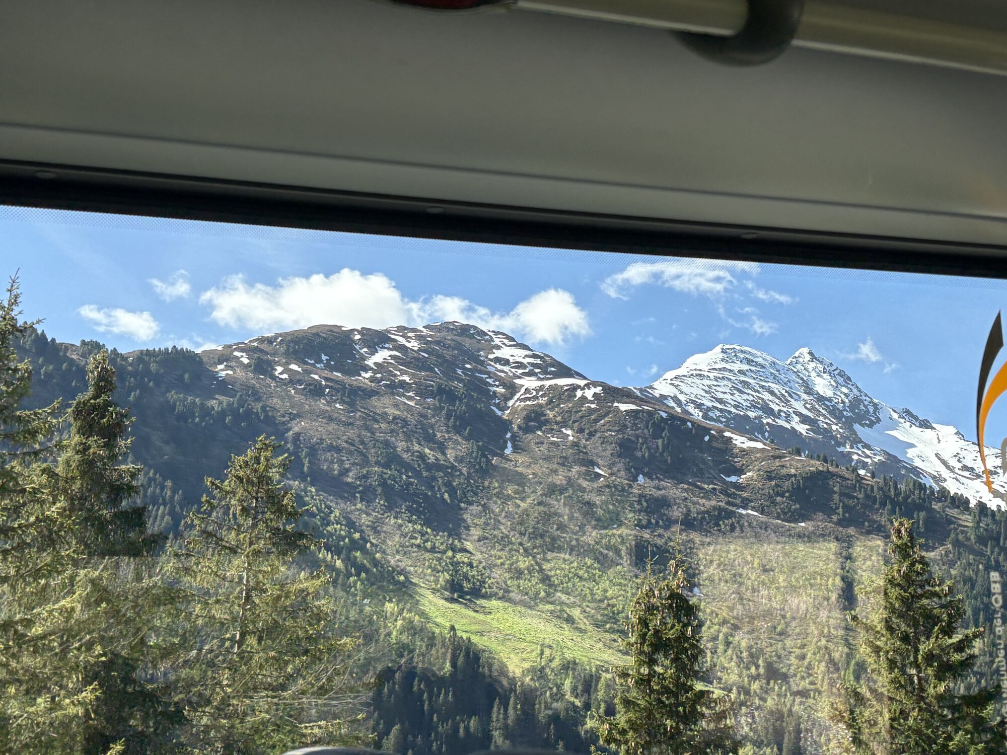
The pass road runs through 9 hairpin bends over about 18 km with an average gradient of 6% ascent or descent over the ridge, with the actual pass height located entirely within Tyrol. When the weather is good, you can also encounter quite a few motorcyclists here, as the Arlberg Pass is a good alternative to the tunnel, which since 1979 fortunately has absorbed most of the traffic – especially buses and trucks – between Vorarlberg and Tyrol. The entire pass route is well developed, so you should observe and especially adhere to the almost continuous speed limits of 60 or 80 km/h. Since many road users still travel faster than allowed, police controls are not uncommon here! In addition, there is a driving ban for towing vehicles with trailers exceeding a total weight of 0.4 tons.
ð Height 1793 m
ð Elevation gain ð¢ 539m ð¢ 633m
ð Average gradient Ø ð¢ 6 % ð¢ 6.4 %
ð Max gradient ð¢ 12.4% ð¢ 13 %
Tak
Tak
Motorcycle: ⤠Motorcycle helmet ⤠Motorcycle gloves ⤠Motorcycle boots ⤠Motorcycle jacket and trousers
Convertible: ⤠Baseball cap ⤠Sunscreen ⤠Sunglasses ⤠Convertible?!?
always pay attention to the road surface
by car:
WARNING! Vignette required on all Austrian motorways and expressways (including the S16)
via Salzburg - Kufstein - Innsbruck - Landeck - to St. Anton am Arlberg
or: via Munich - Fernpass - Landeck - to St. Anton am Arlberg
or: via Stuttgart - Bregenz - Feldkirch - Bludenz - Arlberg Pass or Arlberg Tunnel - to St. Anton am Arlberg
or: via Zurich - St. Gallen or Sargans, Feldkirch - Bludenz - Arlberg Pass or Arlberg Tunnel to St. Anton am Arlberg
better by motorcycle or convertible
sufficient parking spaces available
suitable accommodations on trip-tirol.com
1
Arlberg Pass
MOTORWAY/ROAD B197/L197 Arlberg Road
CONNECTION St. Anton - Langen
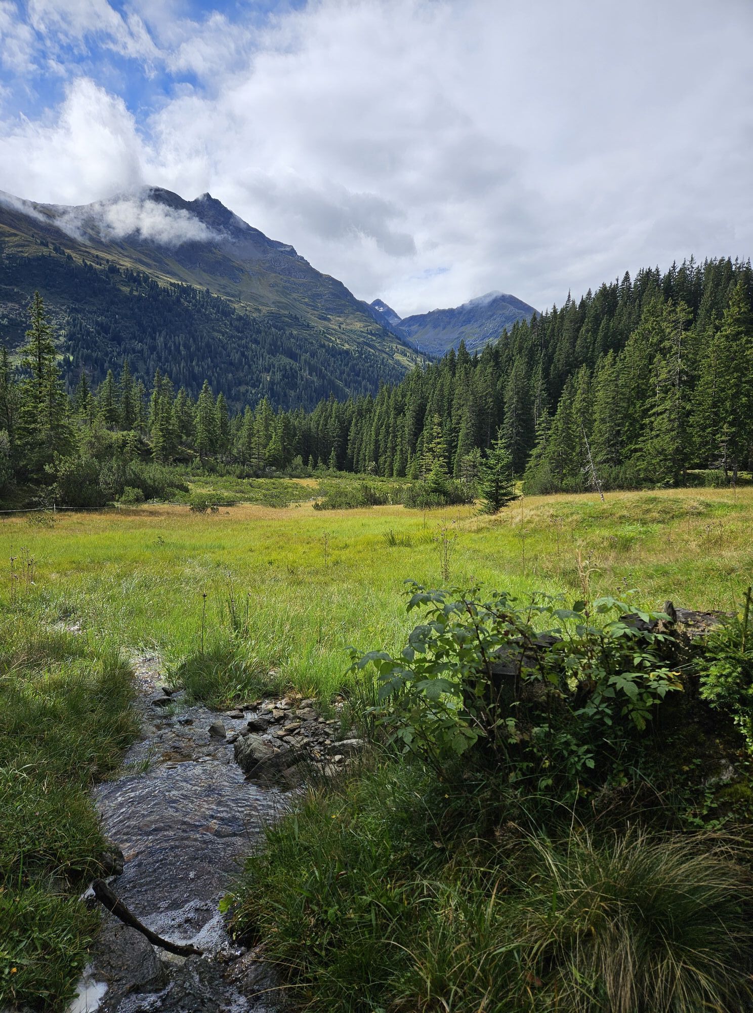
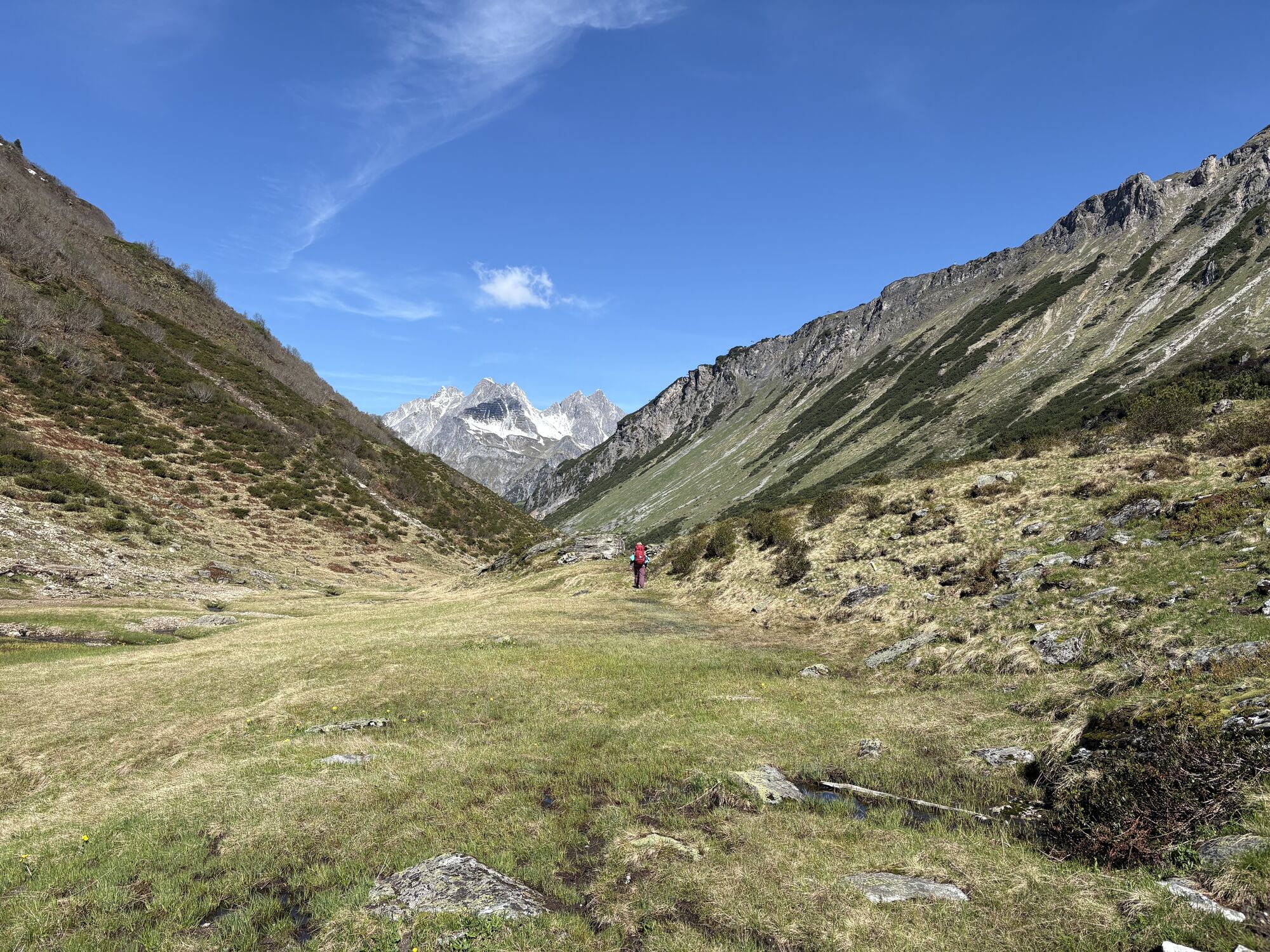
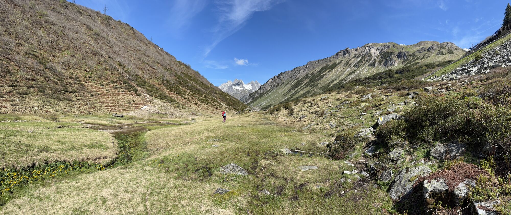
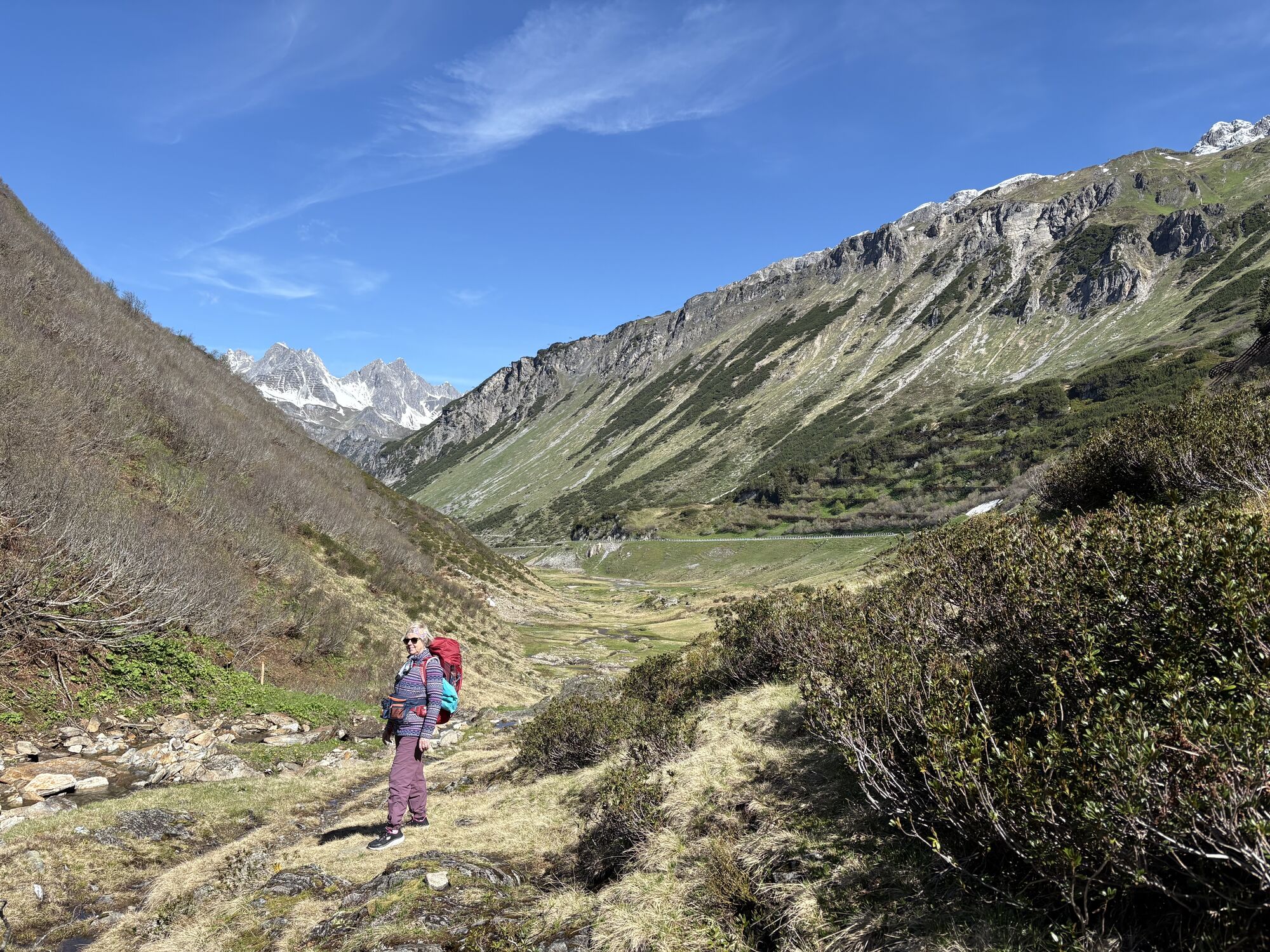
ð The Arlberg Pass is the significantly more scenic alternative to the tunnel of the same name at the transition between Vorarlberg and Tyrol.
Popularne wycieczki w okolicy
- 4,6
Kristberg - Wasserstubental - Silbertal
światłoWędrówka 13,8 km - 4,4
St Anton zur Darmstädter Hütte
ciężkiMountainbike 28,4 km - 4,9
Braunarlspitze
ciężkiWędrówka 16,6 km - 4,0
Stuben - Stubner See - Kaltenberghütte - Stuben
średniWędrówka 9,90 km - 4,7
Muttjöchle summit trail
średniTrasa tematyczna 7,50 km - 4,7
Lechweg Etappe 1
światłoWędrówka 14,0 km - 4,5
Hoher Riffler from Pettneu
średniWycieczka narciarska 20,1 km - 4,9
From Klostertal over the Muttjöchle back to Montafon
średniWędrówka 6,70 km - 4,6
Summit ascent Omeshorn
ciężkiWędrówka 11,8 km - 4,7
Im Angesicht des Patteriol - Sankt Anton/Arlberg durch das Verwall nach Silbertal.
ciężkiWędrówka 35,1 km
Wędrówki i tropienie


Nie przegap ofert i inspiracji na następne wakacje
Twój adres e-mail została dodana do listy mailingowej.