







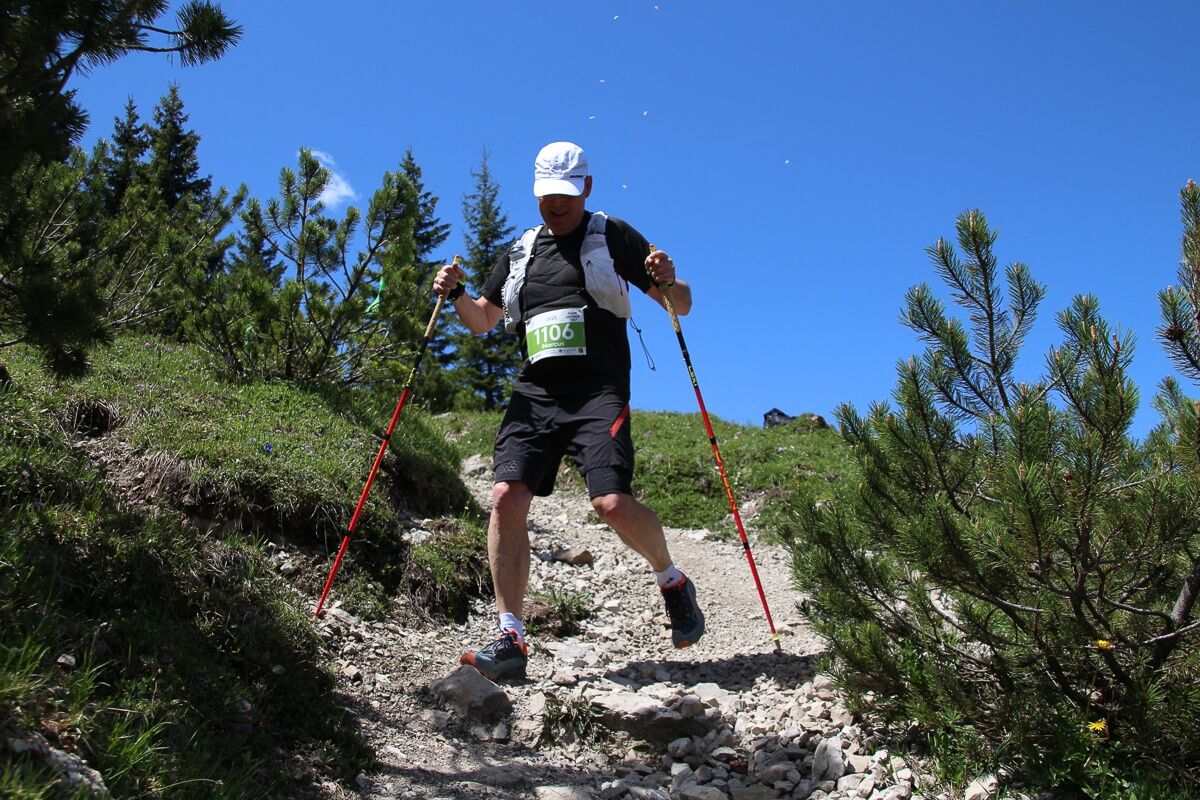
2026 SEEN-LAUF Tannheimer Tal – 3 Hut Trail (S)
Poziom trudności: 3
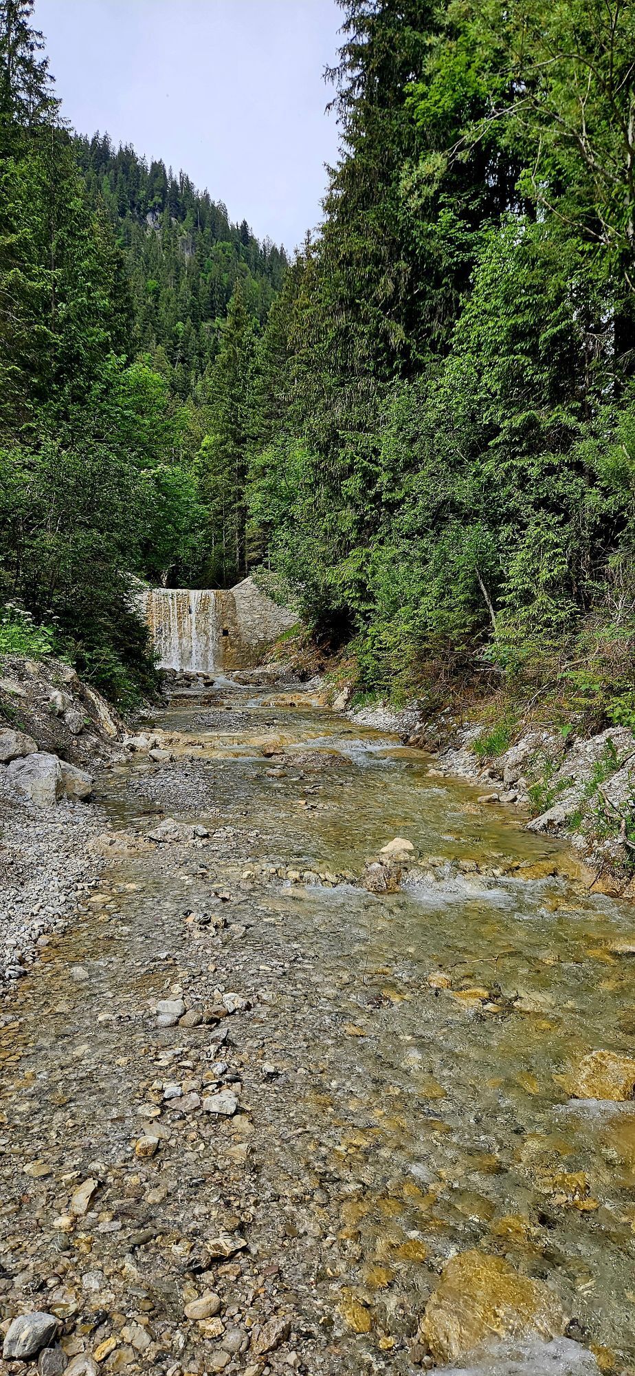
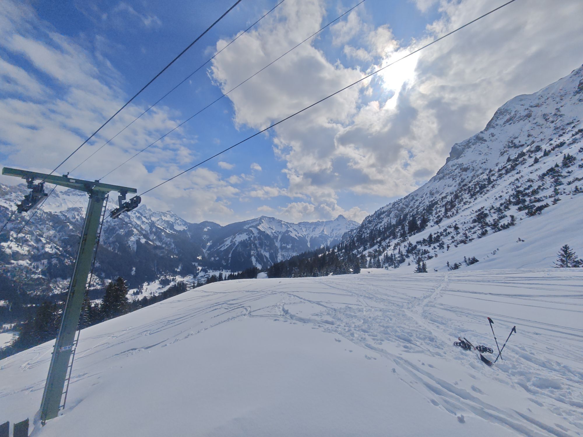
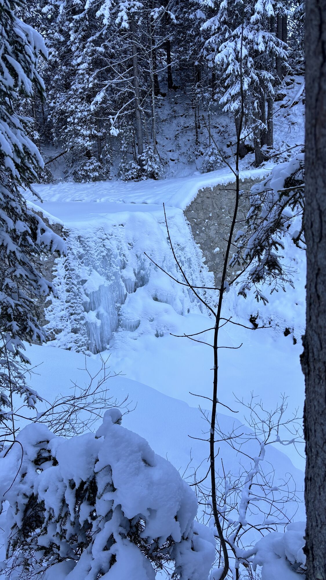
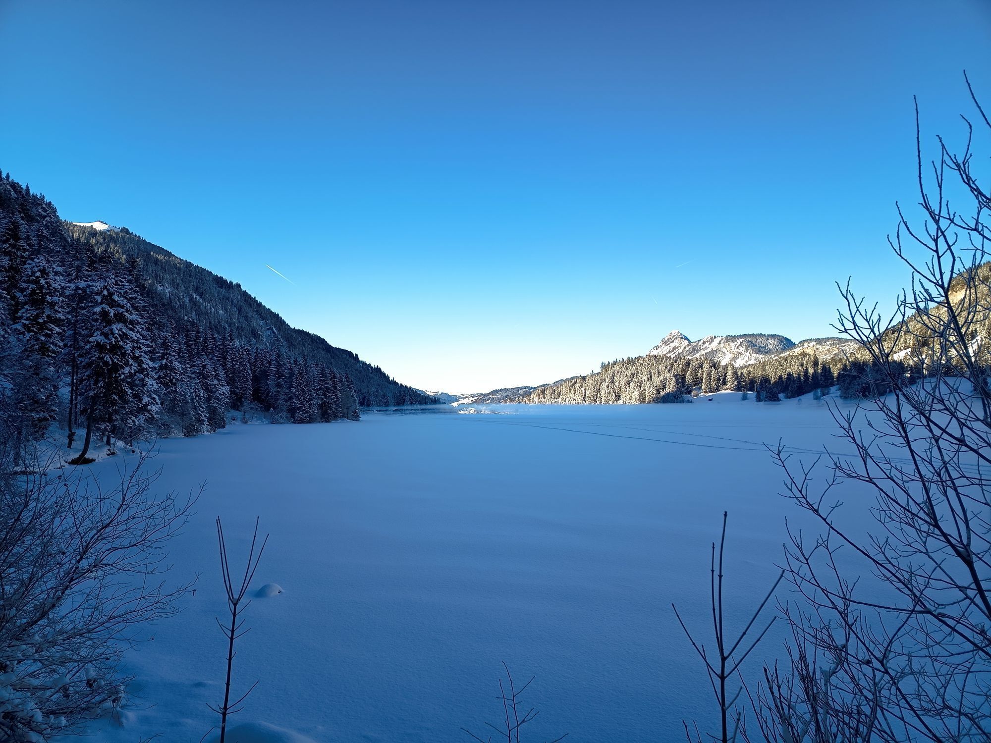

Date: Saturday, 31 May 2025
From 9:00 a.m. Race number distribution and late registrations at the Nesselwängle Sports Centre.
All athletes aged 16 and over are eligible to participate in the 12.5 km and...
From 9:00 a.m. Race number distribution and late registrations at the Nesselwängle Sports Centre.
All athletes aged 16 and over are eligible to participate in the 12.5 km and 25 km trail runs.
Start/finish location: Nesselwängle Sports Centre
Start at 11:15 a.m.
Finish closes at 4:00 p.m.
Award ceremony at 4:30 p.m. at the Nesselwängle Sports Centre
Route:
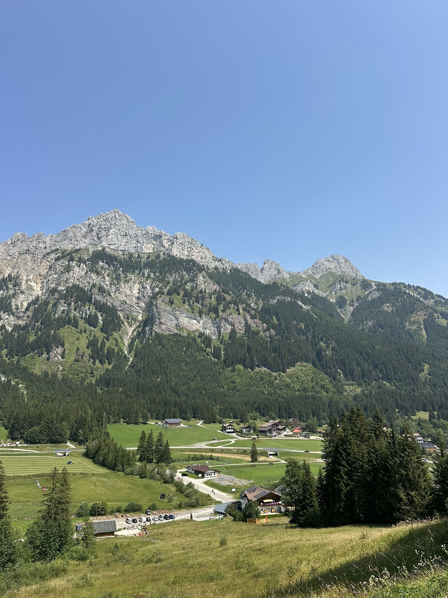
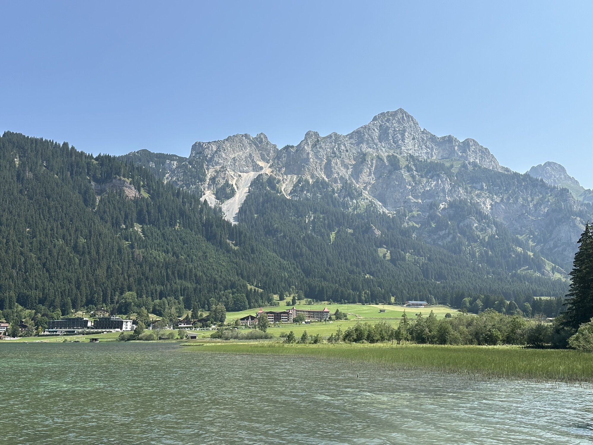
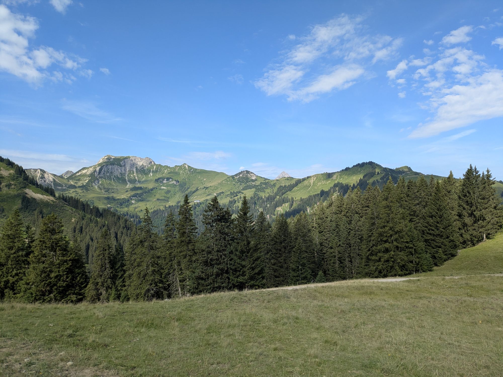
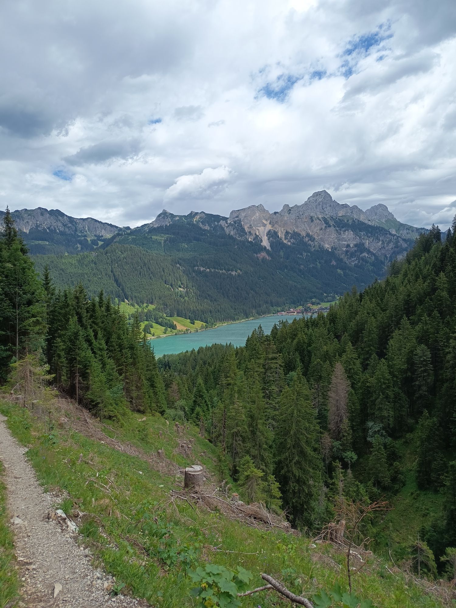
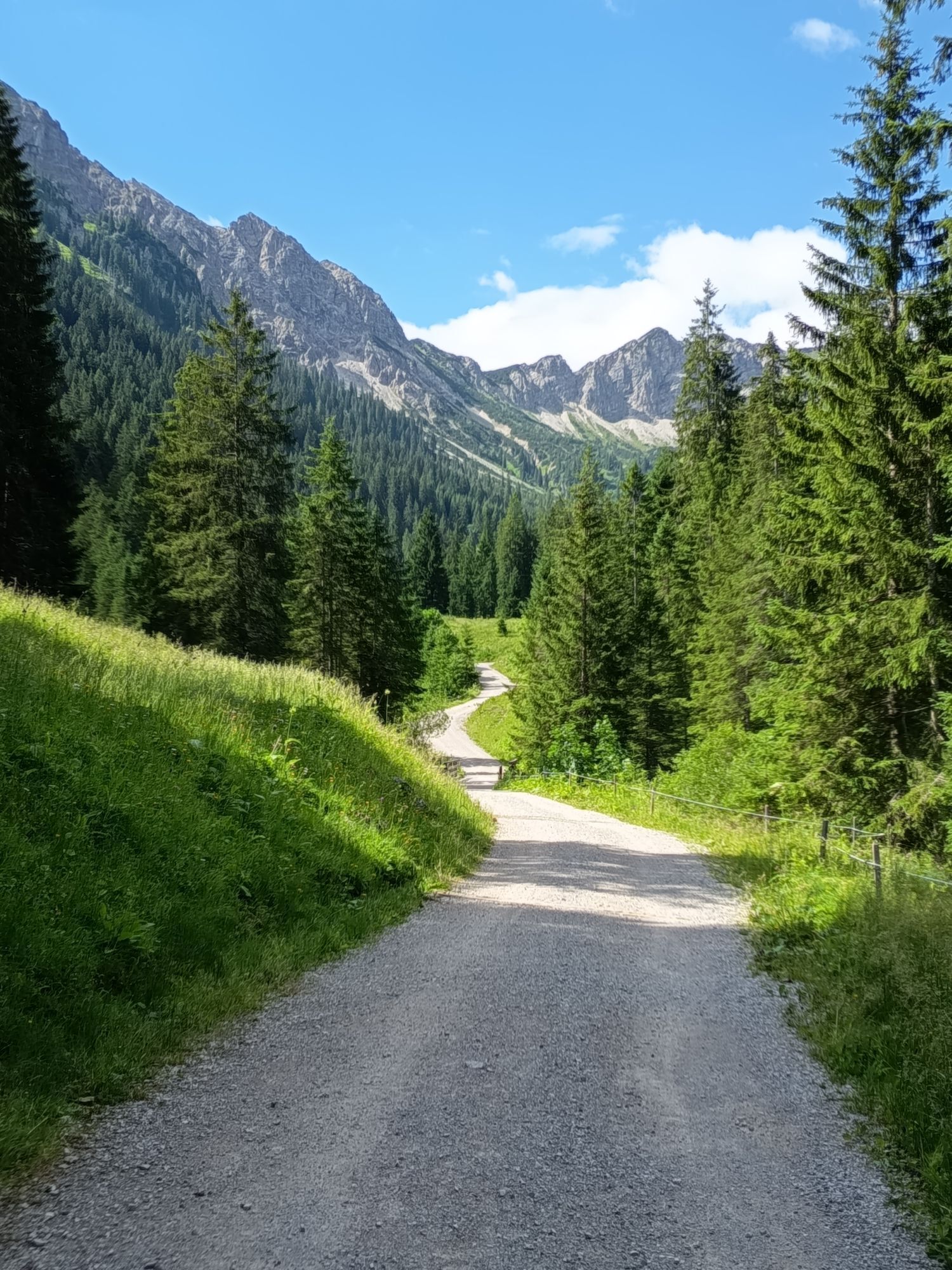
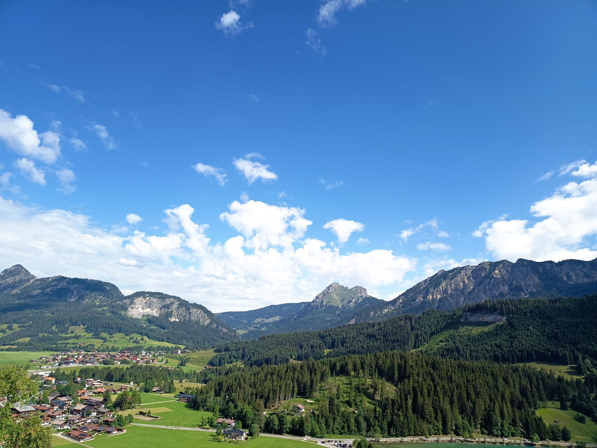
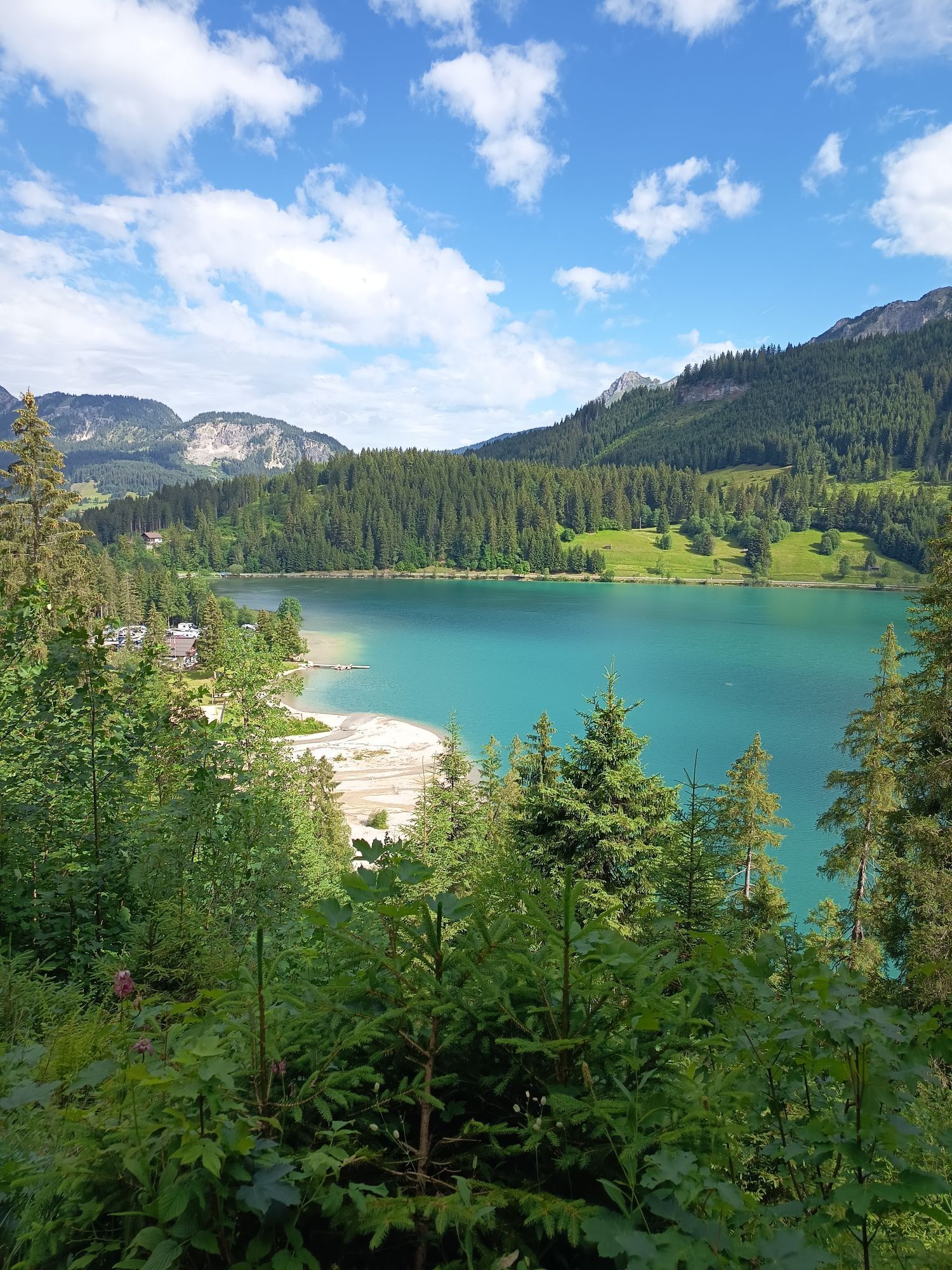
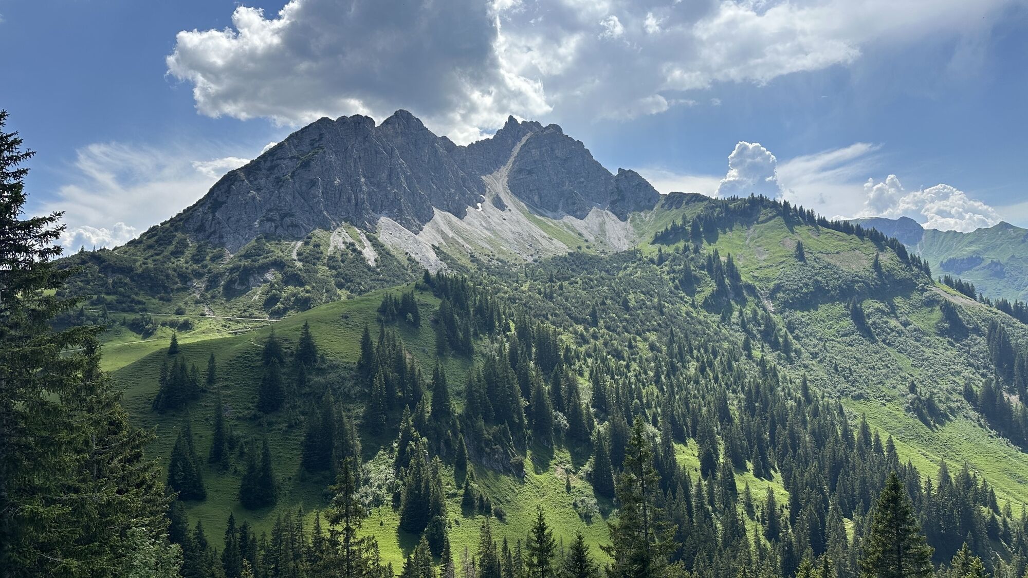
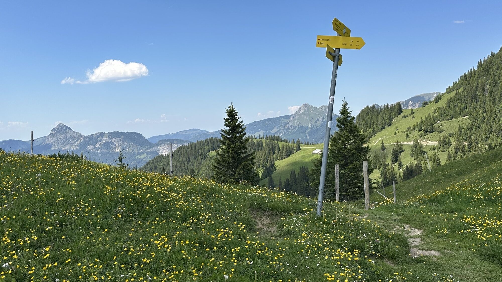
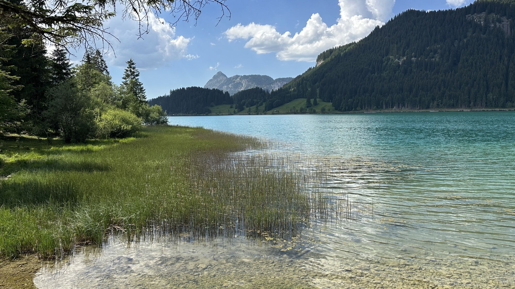
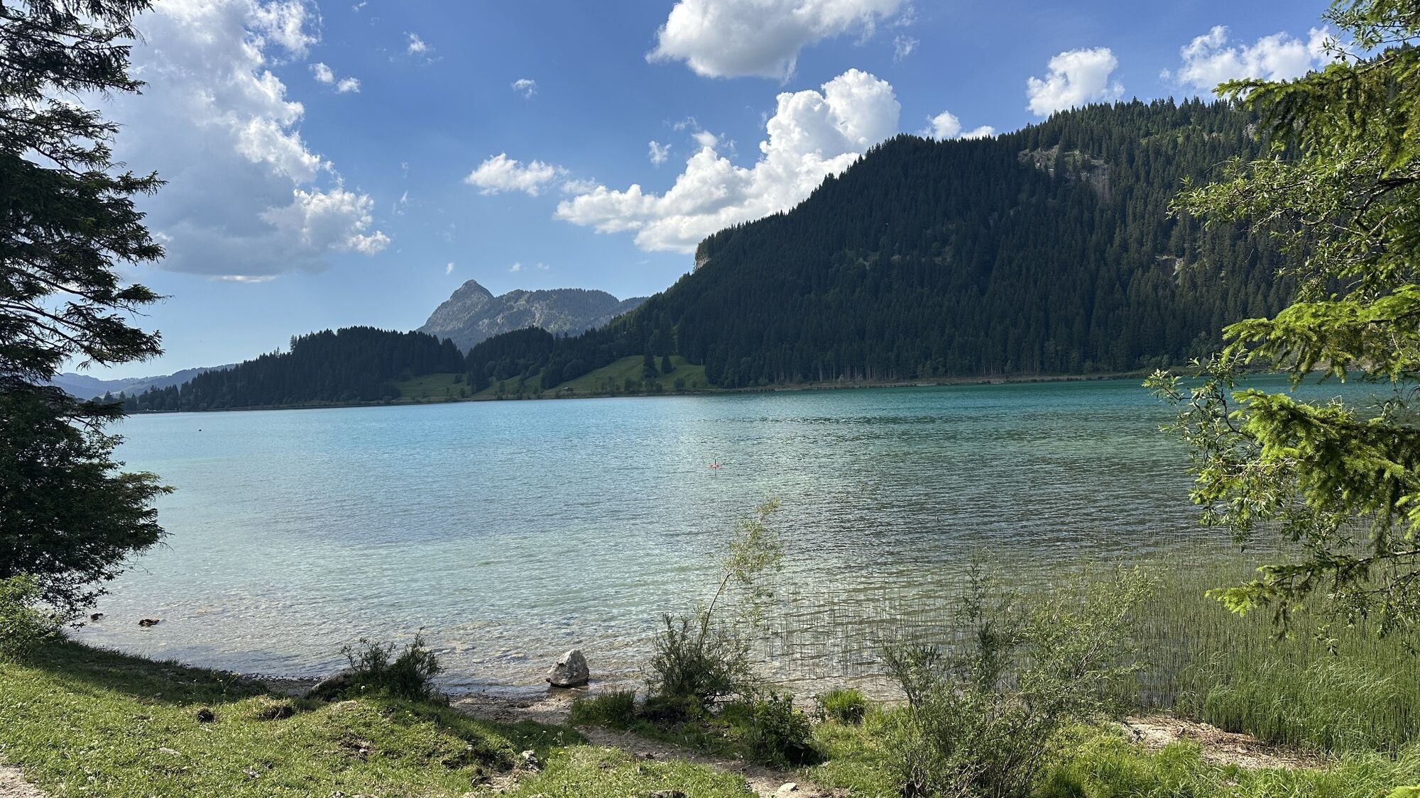
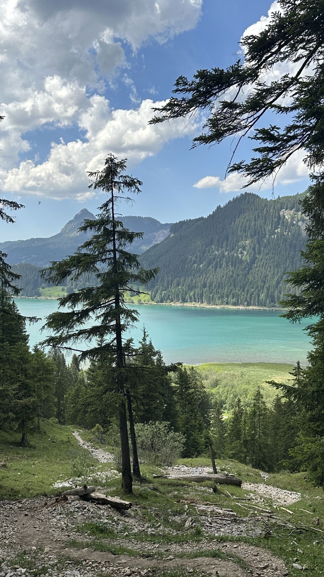
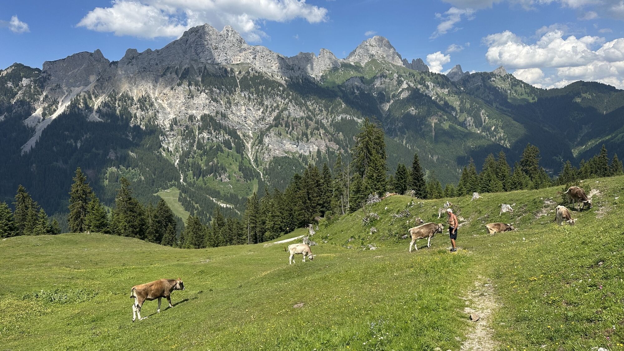
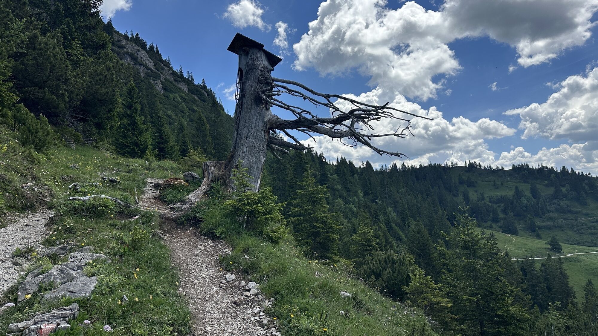
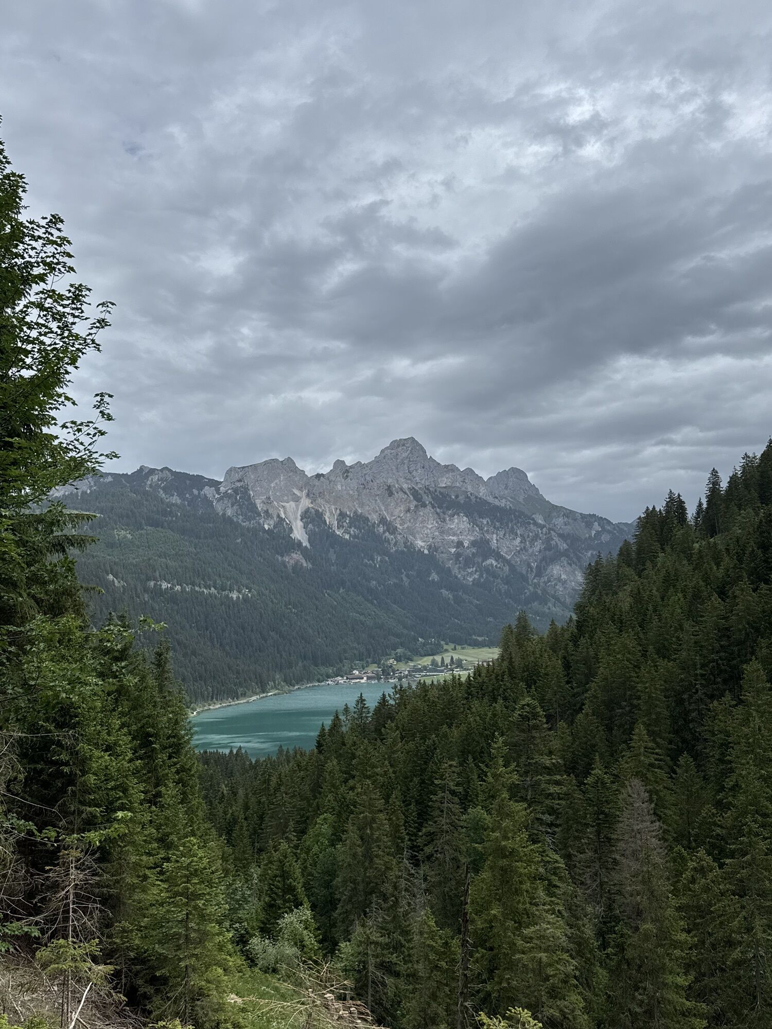
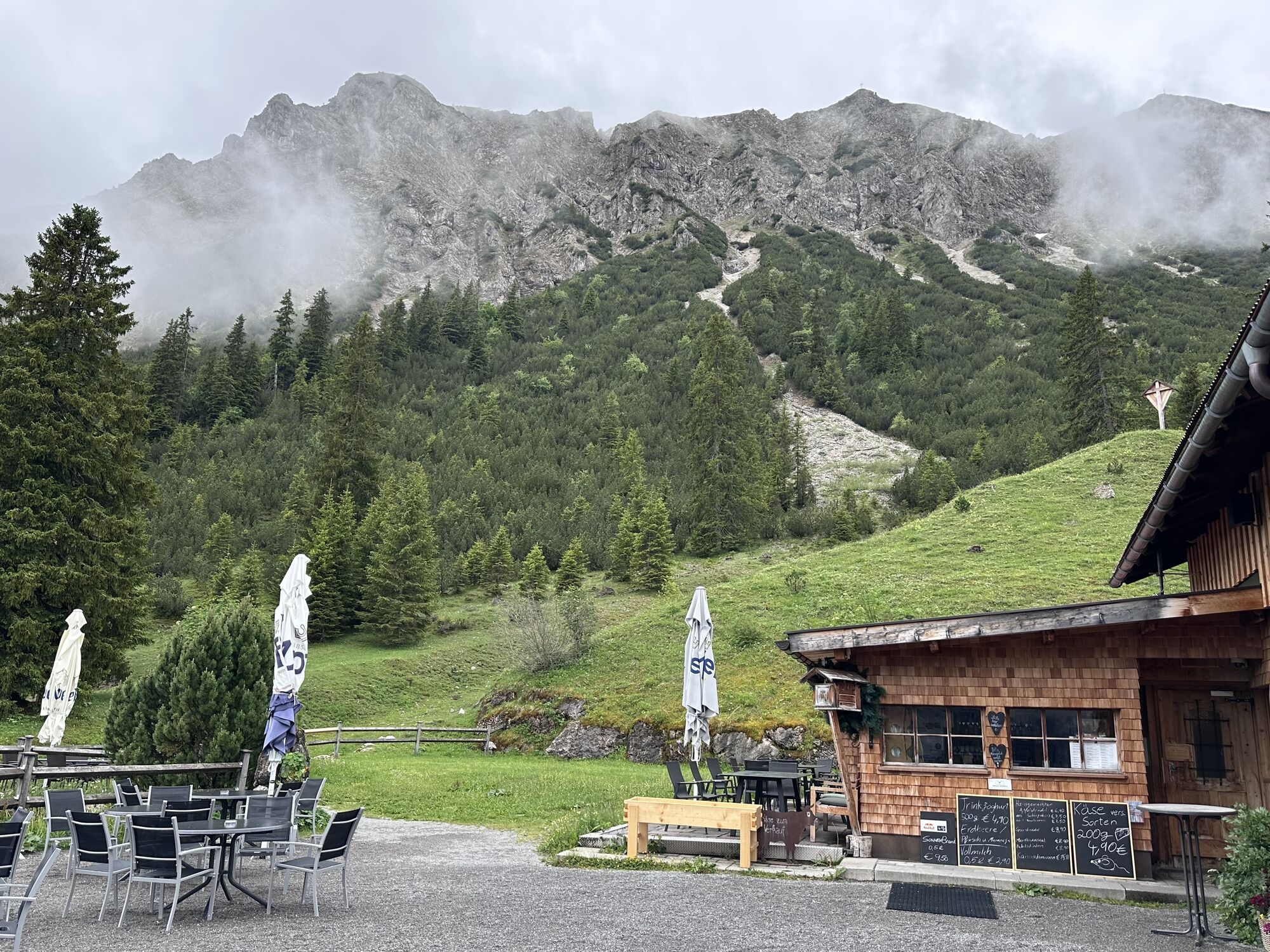
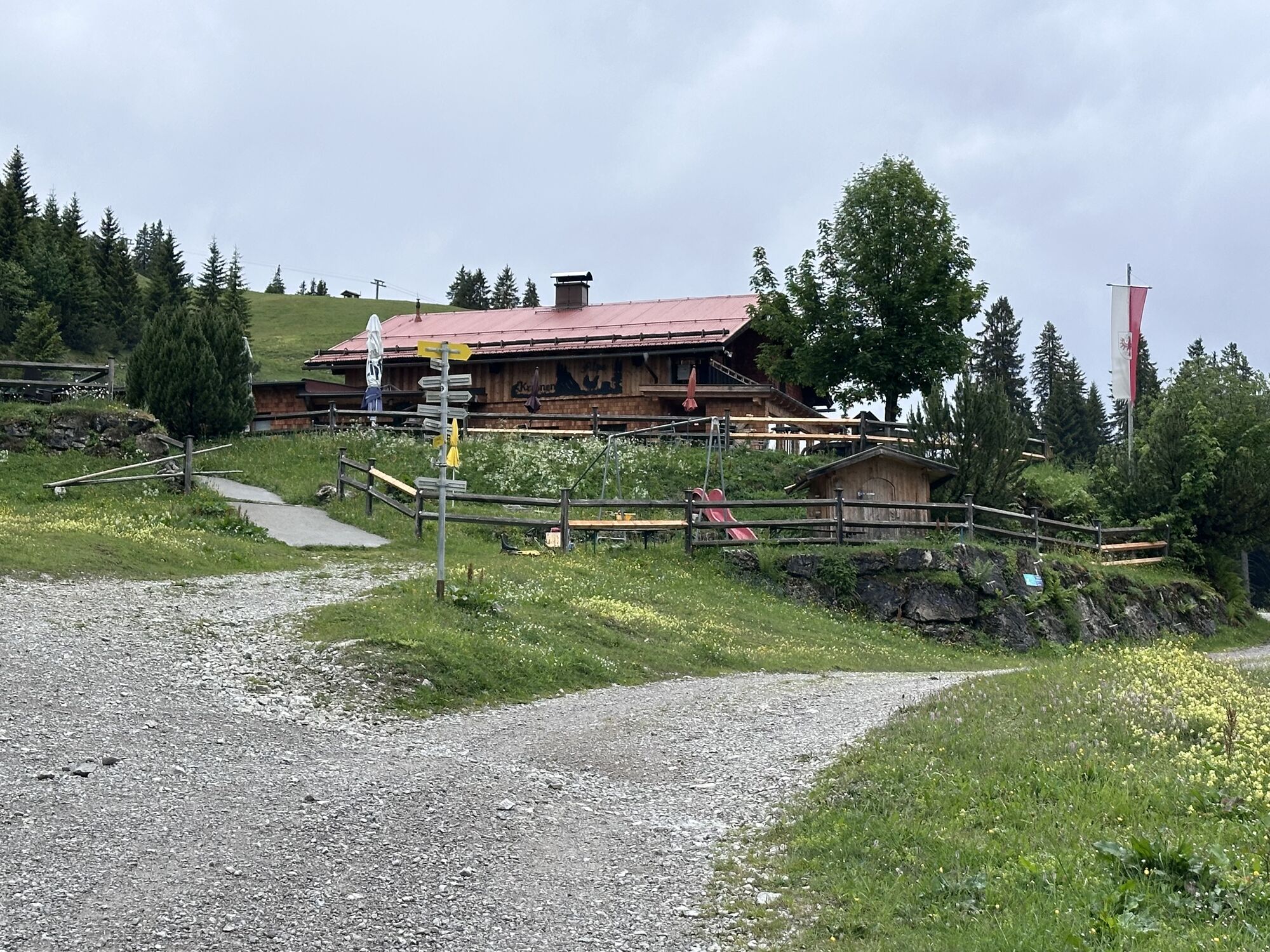
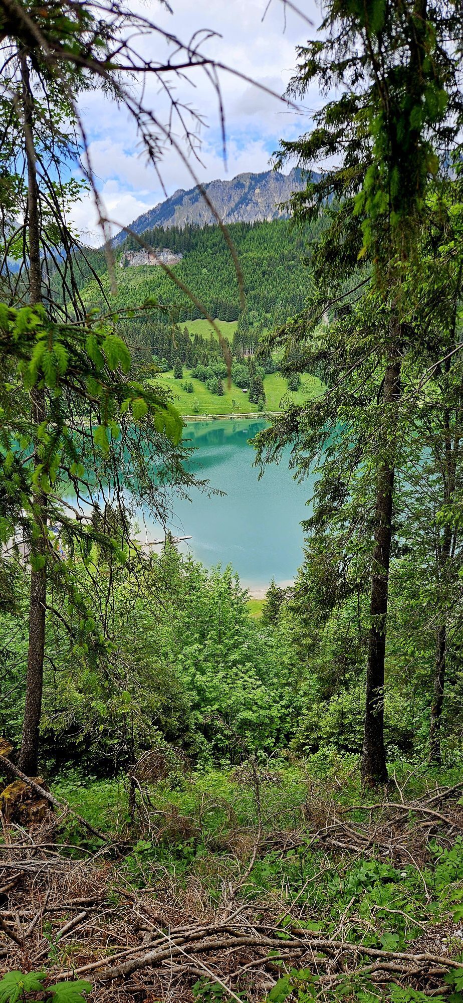
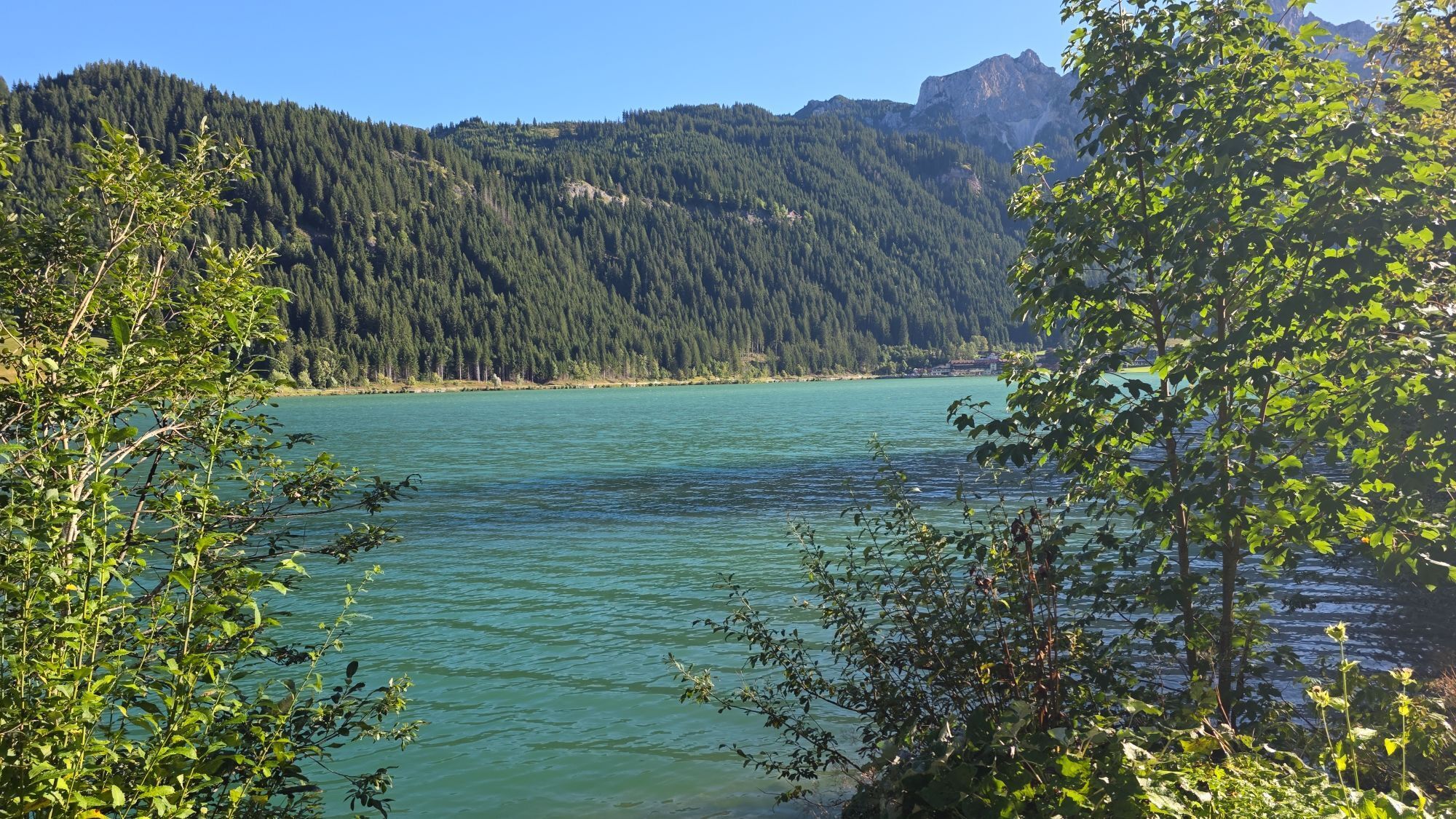
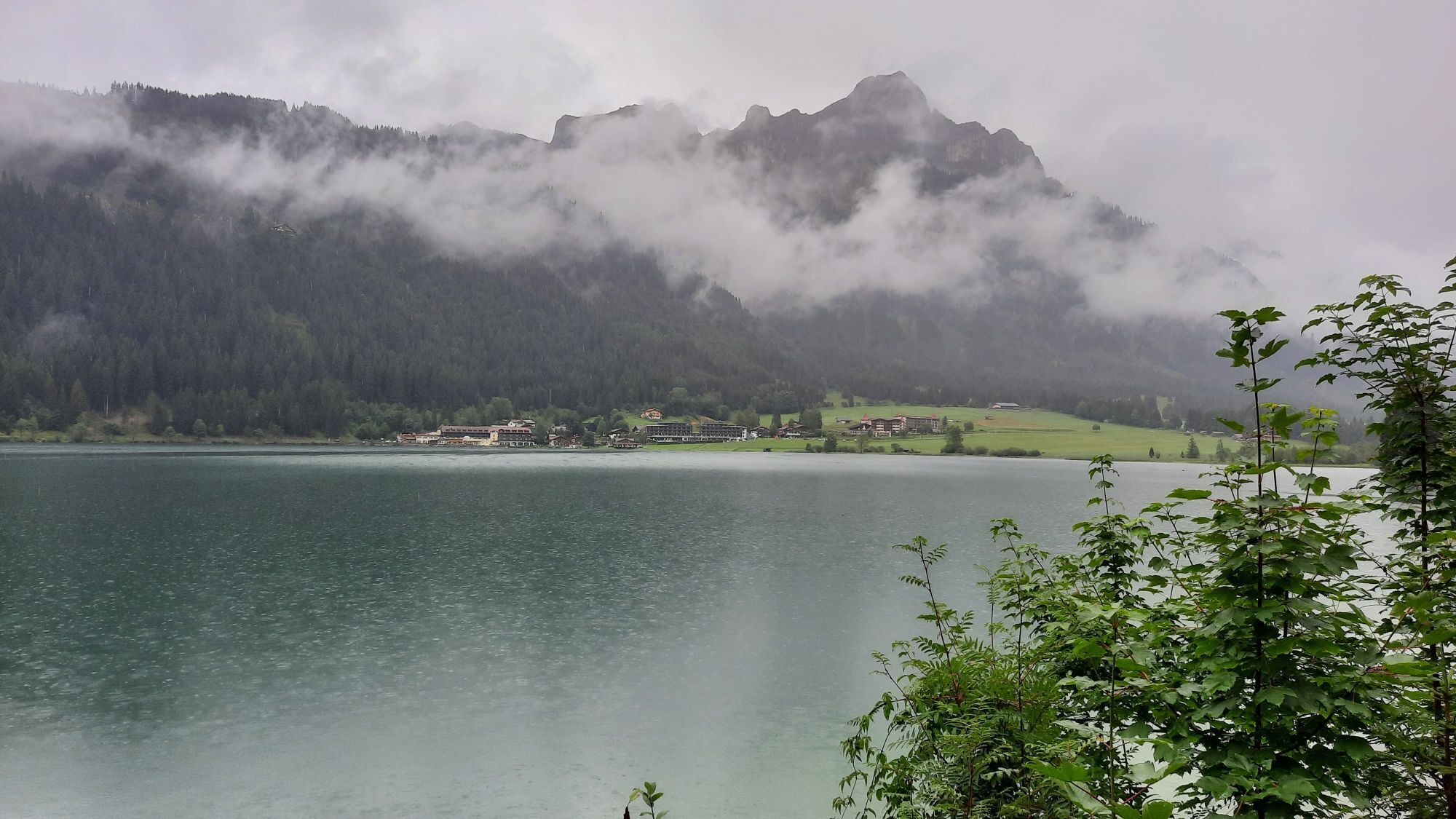
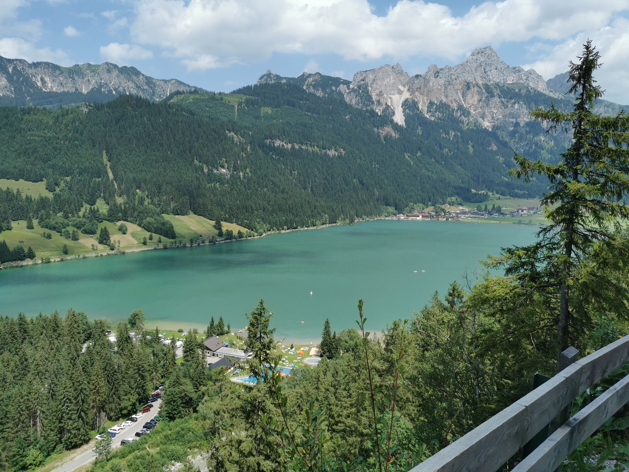
Nesselwängle – Haldensee – Gräner Ödenalpe – Edenalpe Nesselwängle – Krinnenalpe – Nesselwängle
Entry fee:
until 30 April 2025: € 35.00
until 30 May 2025: € 45.00
Late registration on site plus €10.00
Refreshment stations:
Station 1 – Haldensee East after 4 km Station 2 – Krinnenalpe area 10 km Station 3 – Finish refreshments NesselwängleClassification
Men/Women Junior: under 20 (2010–2007) Men/Women: over 20– under 30 (2006–1997) Men/Women Master M/W30: over 30– under 40 (1996–1987) Men/Women Master M/W40: over 40 - under 50 (1986 - 1977) Men/Women Master M/W50: over 50 - under 60 (1976 - 1967) Men/Women Master M/W60: over 60 - under 70 (1966 - 1957) Men/Women Master M/W70: over 70 (1956 and older)
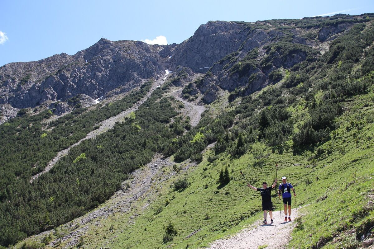
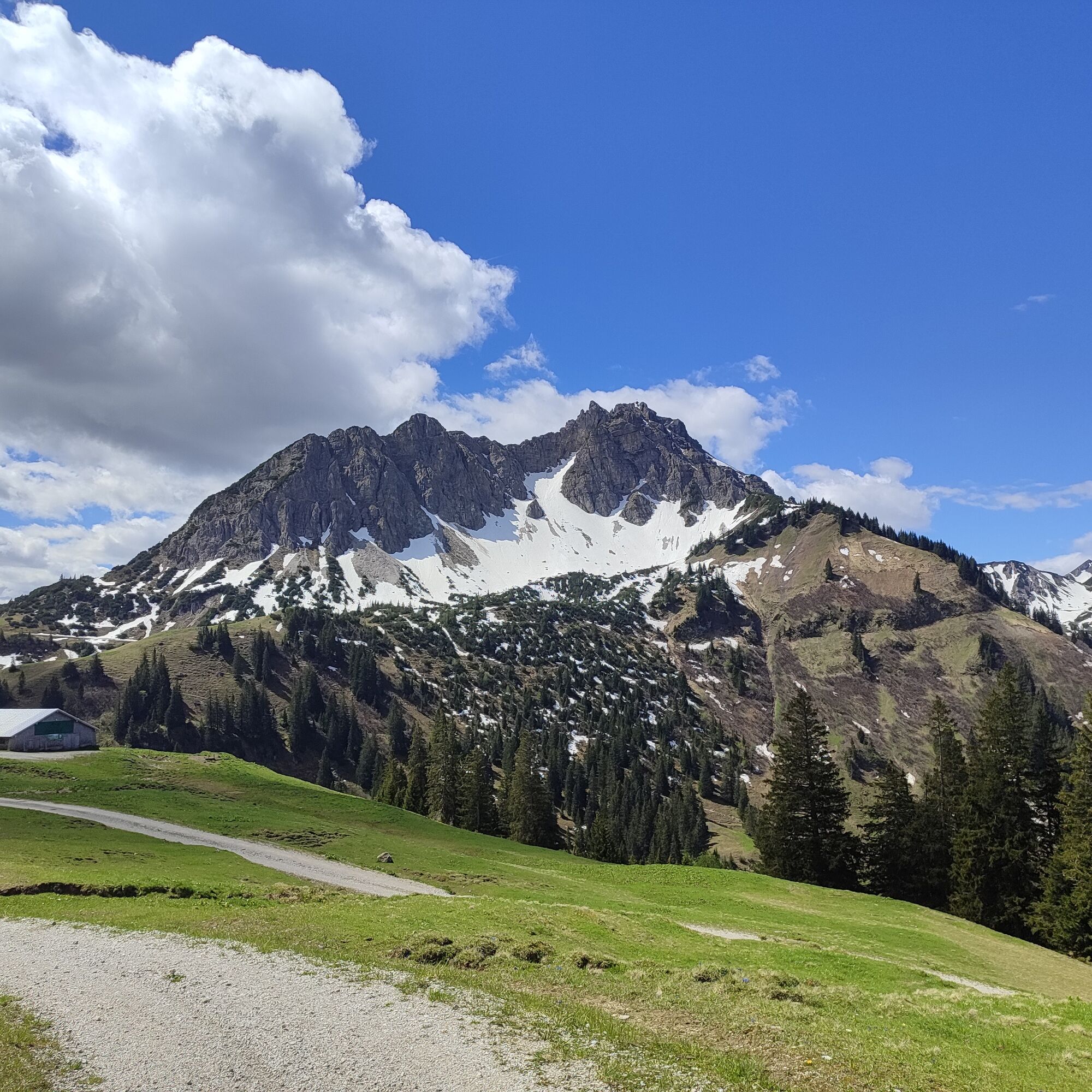
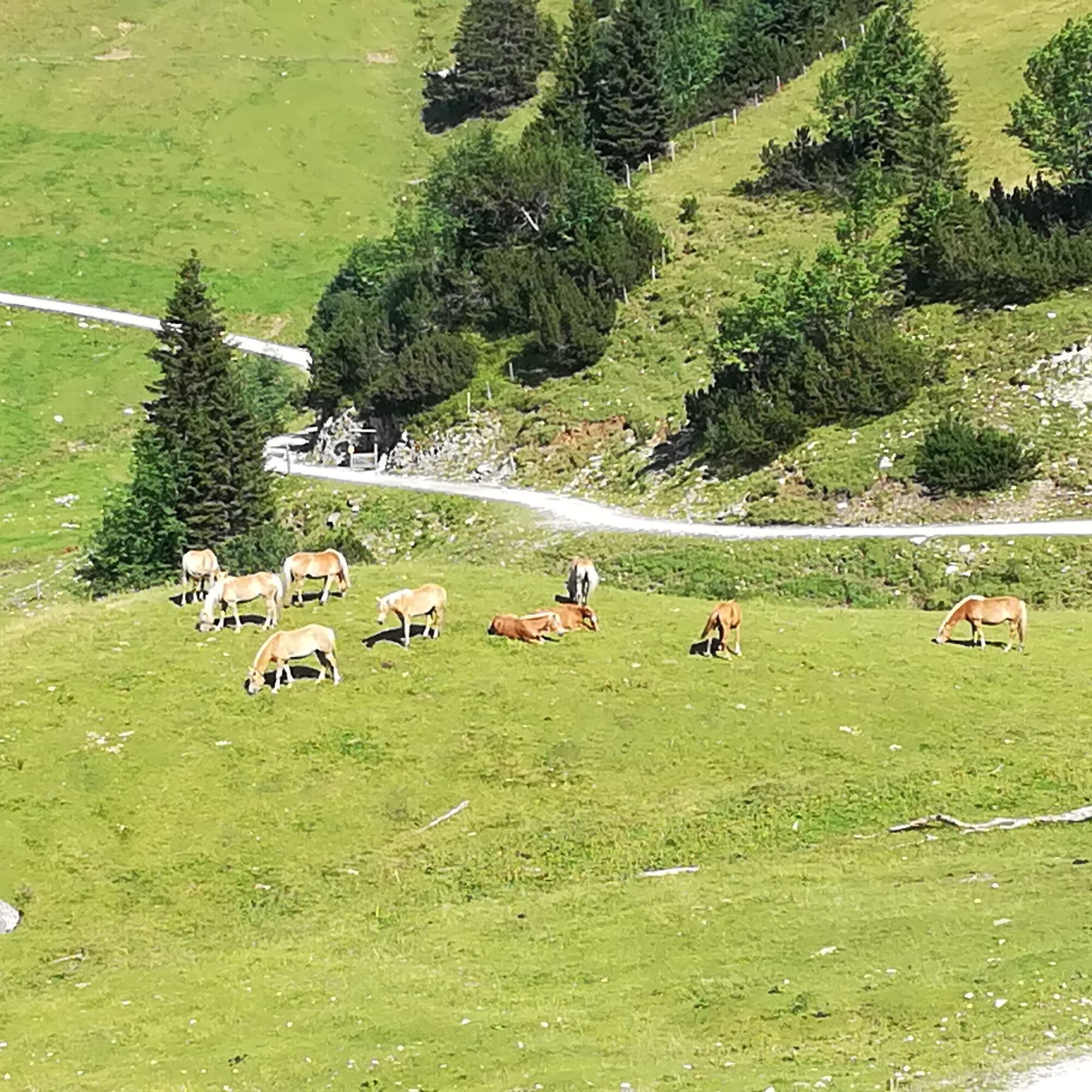

Nesselwängle – Haldensee – Gräner Ödenalpe – Edenalpe Nesselwängle – Krinnenalpe - Nesselwängle
- Trail running shoes or sturdy footwear with sufficient tread
- Collapsible cup, folding cup or drinking vessel (bottle, etc.)
- Drinking container with/for 0.5 litres of fluid at the start
- Charged mobile phone with ringtone switched on and the organiser's emergency number stored: +43 5675 824935 (mountain rescue) or emergency number 140
- Identification document
Additional/recommended equipment (optional):
- Rain jacket/weatherproof jacket
- Emergency equipment (small first aid kit and rescue blanket)
- Hat, balaclava, gloves
- Personal food (bars, gels, etc.) => must be marked with your race number
- Running backpack, running vest or running belt
- Running or trail running poles => must be carried with you for the entire route if used (no handing over, no dropping off during the race)
The organiser reserves the right to make changes or additions to the mandatory equipment if necessary (e.g. due to weather conditions). These will be communicated to all participants in good time, at the latest on the day before the race.
Mandatory equipment will be checked at random at the entrance to the start area.
The participant acknowledges that during the ‘SEEN-LAUF Tannheimer Tal’ the hiking trails and roads are not closed, all hiking trails and roads are also used by other people, and the Road Traffic Regulations (StVO) apply in principle.
northern Europe has direct access via the motorway:
The fastest, easiest and vignette-free way to reach the Tannheimer Tal by car is via the A7 motorway. Turn right at the ‘Oy-Mittelberg’ exit and follow the B 310 federal road towards Wertach/Oberjoch for approx. 15 kilometres. In Oberjoch, turn left towards the Tannheimer Tal.
From Switzerland, you can reach the Tannheimer Valley via
Lindau – Sonthofen or Arlberg – Landeck – Fern Pass – Reutte – Weißenbach > Tannheimer Valley. (No vignette required!)
From Italy or Vienna, take the Austrian motorway
Innsbruck – Mötz – Fern Pass – Reutte – Weißenbach > Tannheimer Tal
or via Rosenheim – Bad Tölz – Garmisch-Partenkirchen – Reutte – Weißenbach > Tannheimer Tal.
Bus:
Bus connection from Sonthofen to Oberjoch Bus connection from Jungholz to Oberjoch Bus connection from Oberjoch Bus connection from Pfronten Bus connection from ReutteRailway stations:
Sonthofen: 24 km (bus connection Sonthofen - Oberjoch, Oberjoch - Nesselwängle) Pfronten/Ried: 16 km (bus connection Pfronten - Nesselwängle) Reutte: 24 km (bus connection Reutte - Nesselwängle)Airports:
Memmingen 80 km Munich 205 km Stuttgart 205 km Zurich 220 km Innsbruck 120 kmKrinnenalplift car park
3
Race numbers will only be issued to the respective participant(s) in person. There is an unofficial finish list for all routes, which serves as a control for the organiser.

Kamery internetowe z trasy
Uzyskaj wgląd
Zawsze na żywo z ponad 9 500 kamer internetowych. bergfex Jako użytkownik Pro, możesz teraz zobaczyć odpowiednie kamery internetowe dla wielu wycieczek w aplikacji wycieczki od. Pozwala to na bezpośredni podgląd aktualnych warunków.


Popularne wycieczki w okolicy
-
4,8
Thaneller
średniWędrówka 4,90 km -
4,7
Around Weißensee
światłoWędrówka 6,12 km -
5,0
Hiking tour to Breitenberg
ciężkiWędrówka 15,6 km -
4,9
Gemeinde Grän, Tirol/Österreich Aggenstein Rundtour über Höhenweg
średniWędrówka 9,84 km -
4,8
Do schroniska Bad Kissinger Hütte przez Gräner Höhenweg
średniWędrówka 13,0 km -
4,8
Tannheim / Vilsalpsee / Landsberger Hütte
średniWędrówka 15,7 km -
4,8
Iseler und Kühgundkopf
średniWędrówka 7,63 km -
4,2
Three-lake route (awarded the Tyrolean Hiking Trail Seal of Quality)
średniWędrówka 14,8 km -
4,7
3-Gipfel-Tour
średniWędrówka 11,2 km -
4,6
3-Seen Rundtour Vilsalpsee / Schrecksee / Traualpsee
średniWędrówka 17,1 km
Wędrówki i tropienie


Nie przegap ofert i inspiracji na następne wakacje
Twój adres e-mail została dodana do listy mailingowej.





