


2026 SEEN-LAUF Tannheimer Tal - 25 km run
Poziom trudności: 1
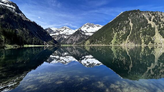
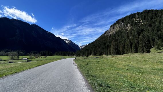
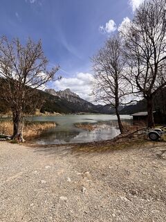
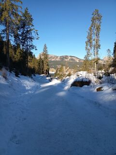
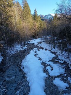
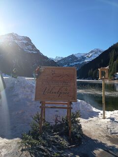
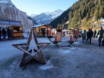
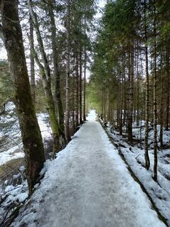
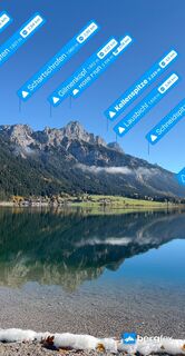
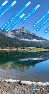
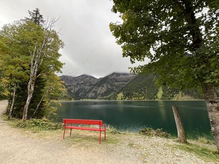
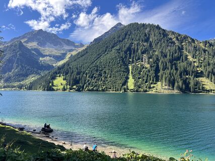
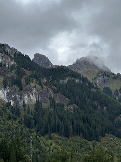
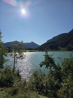
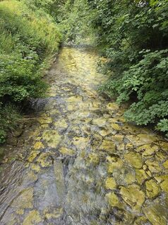
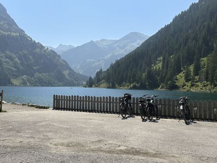
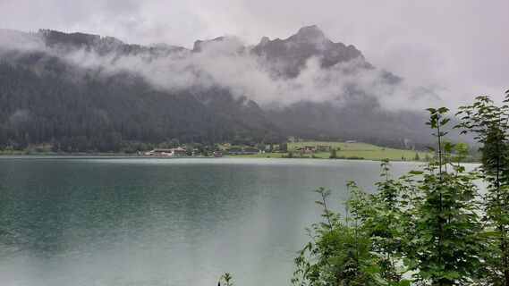
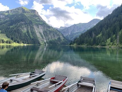
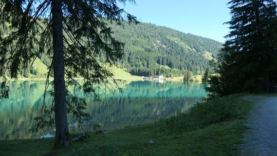
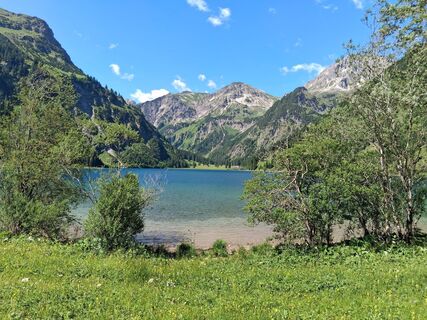
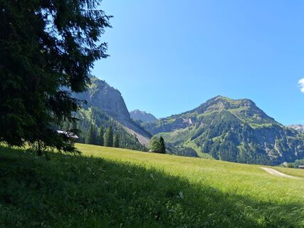
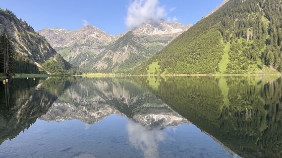
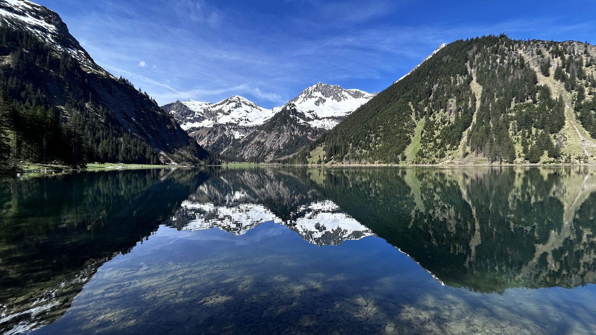
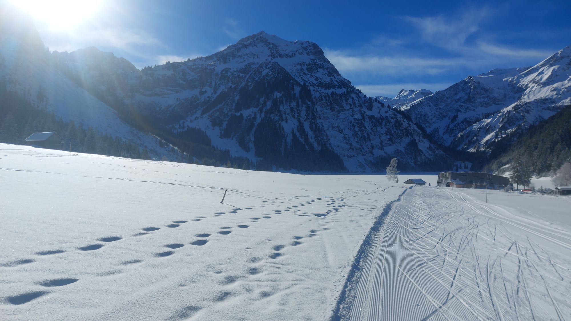
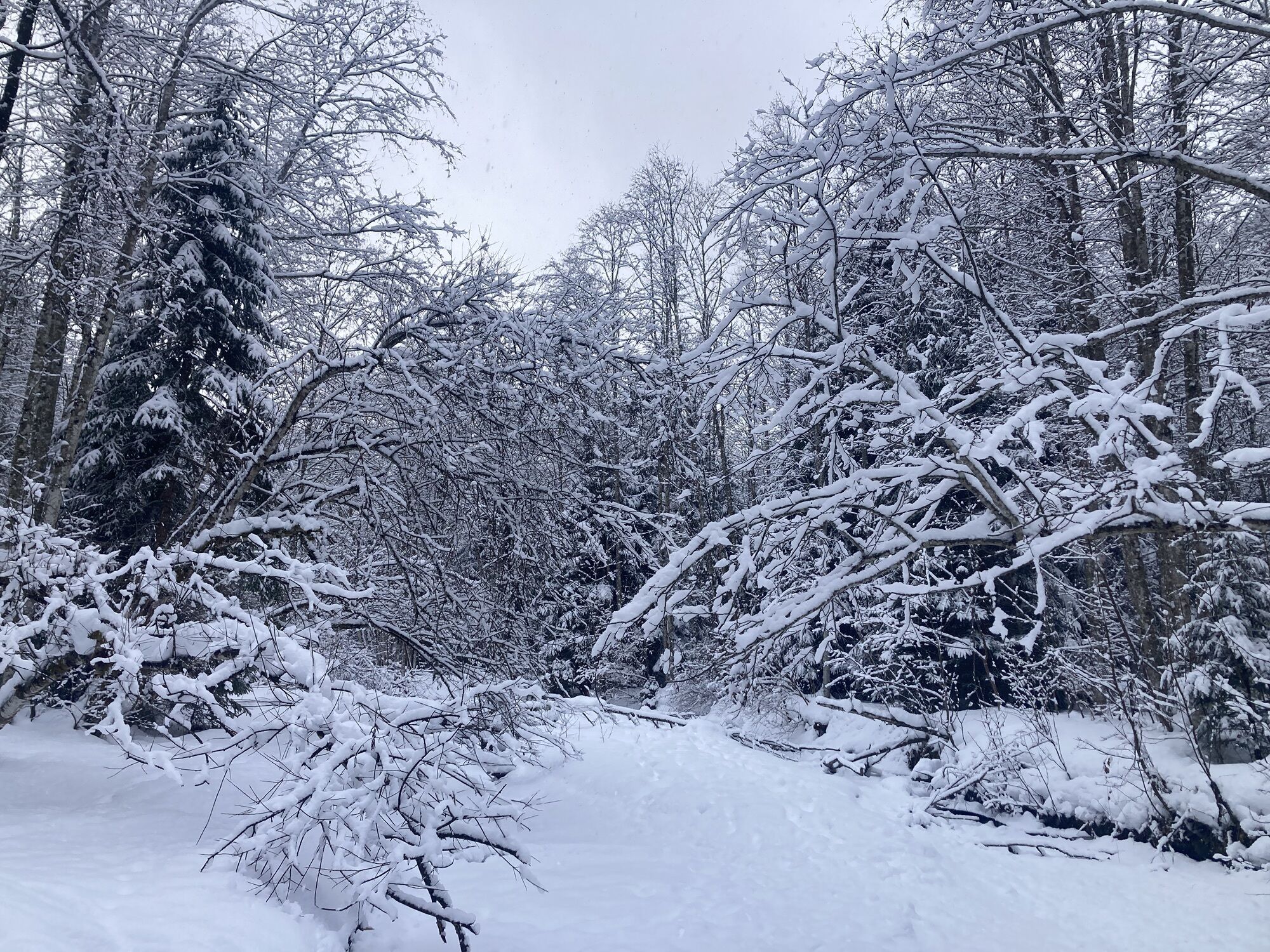
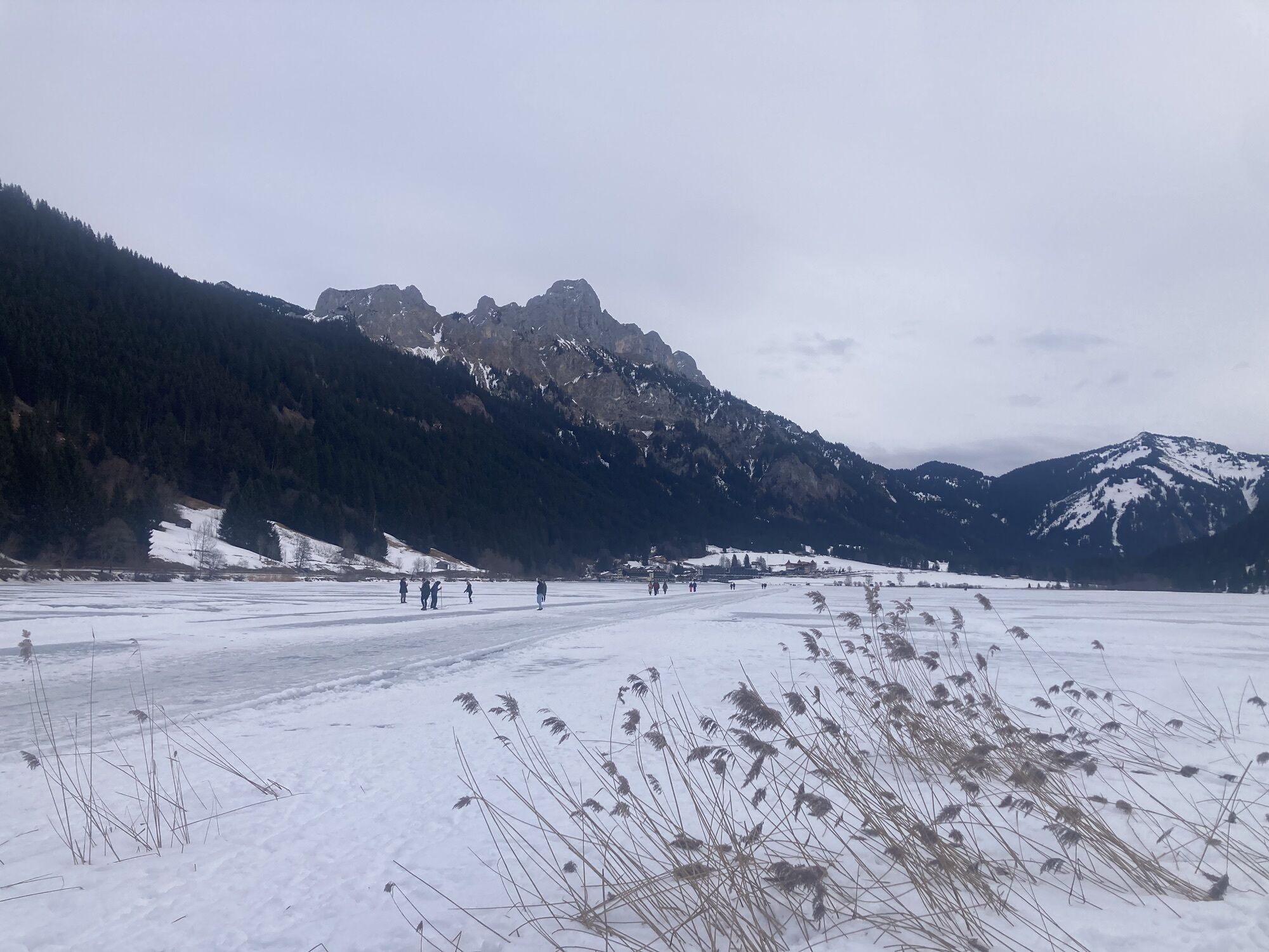
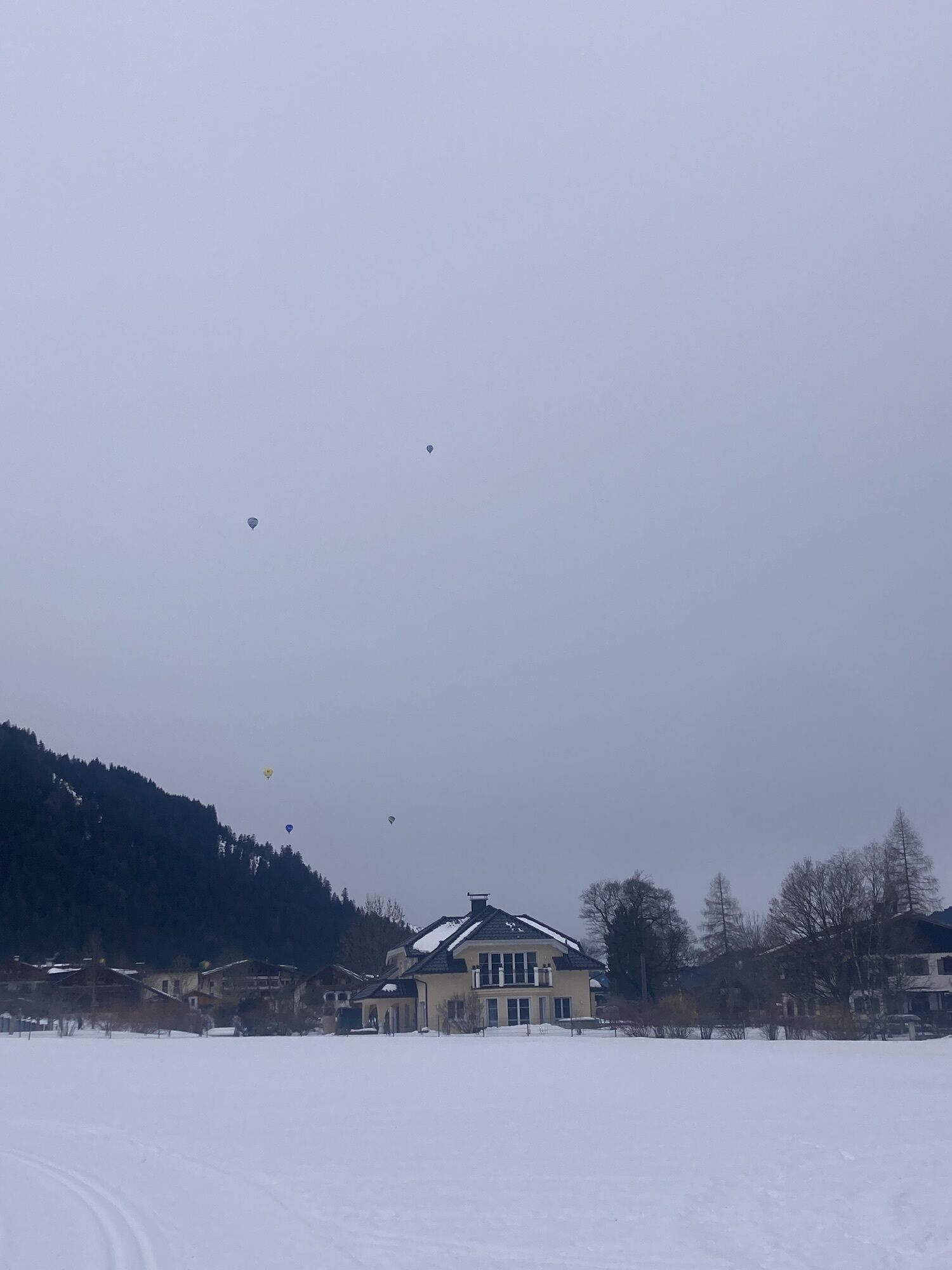
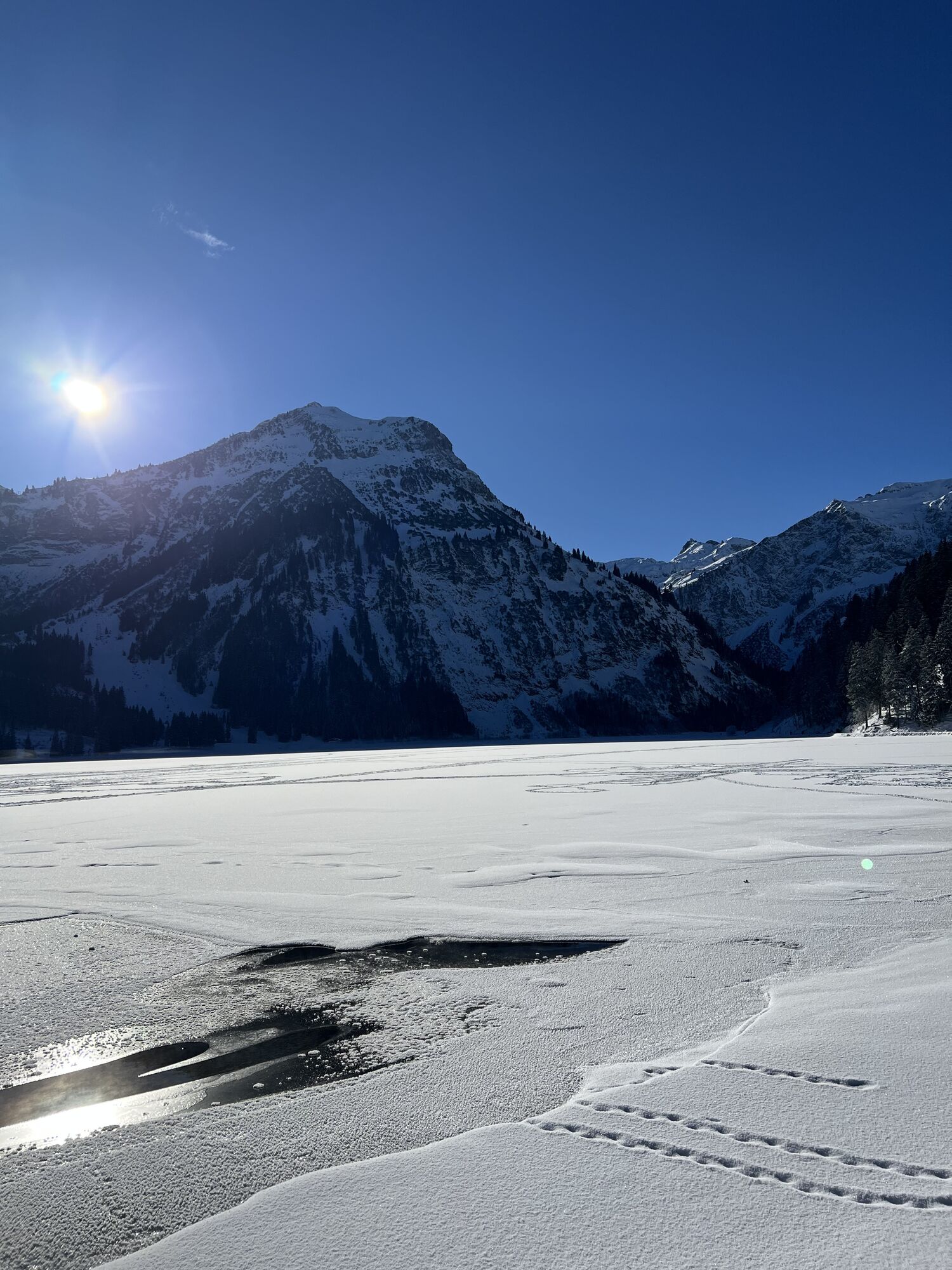
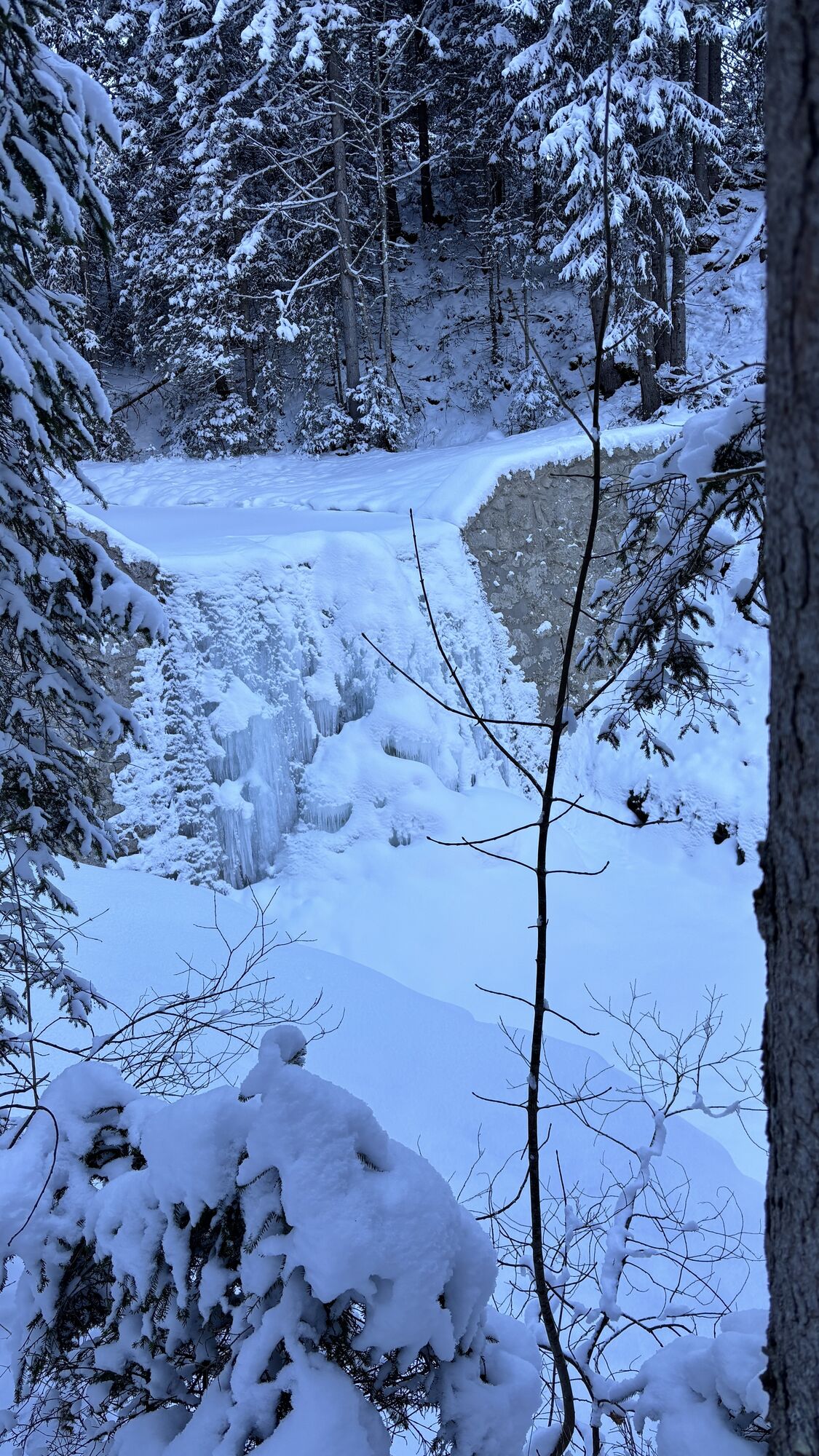
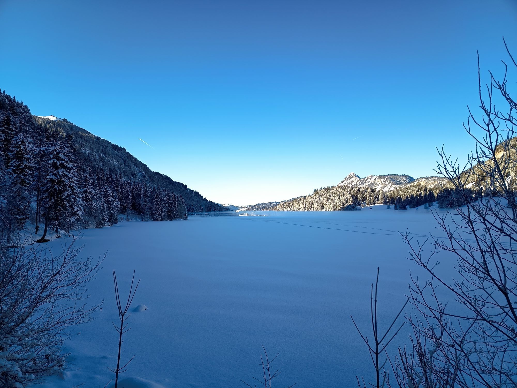
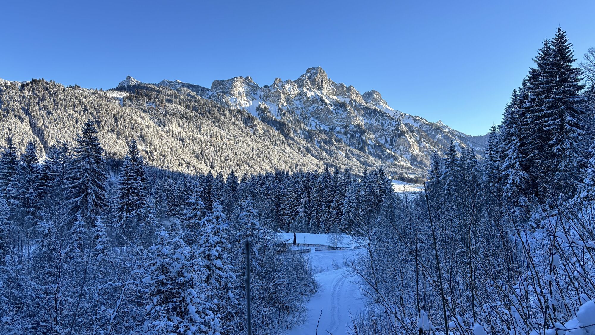
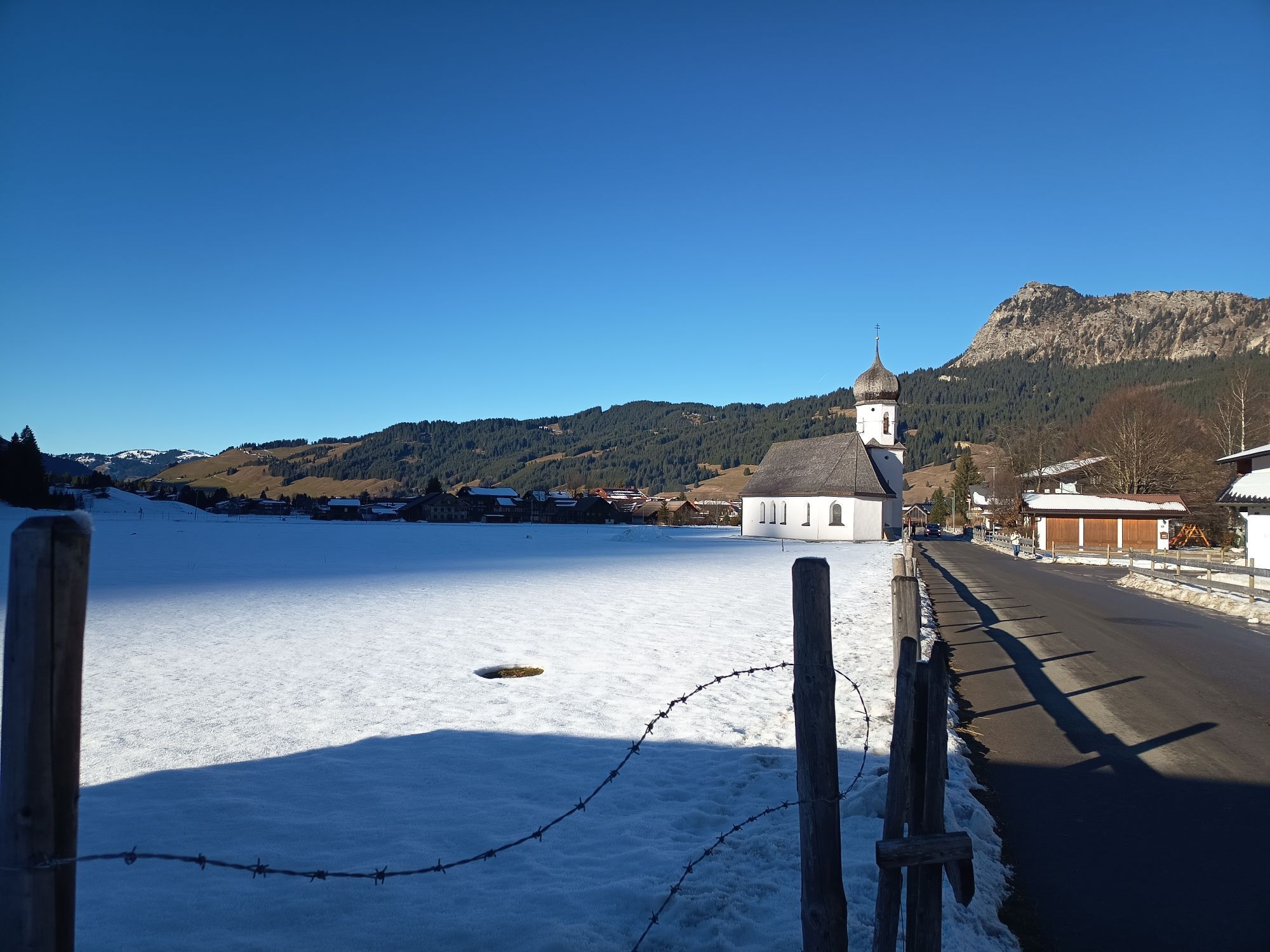
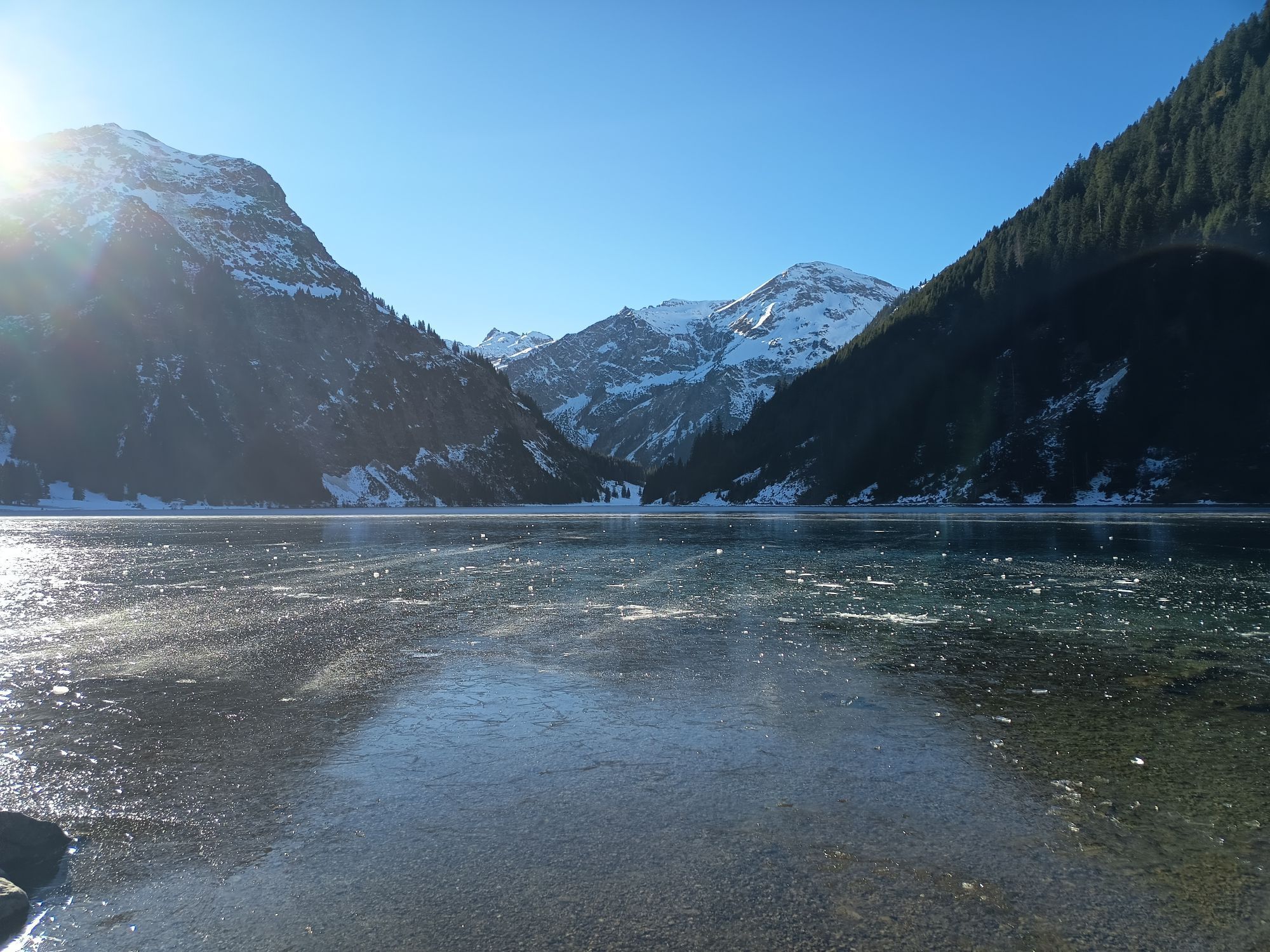
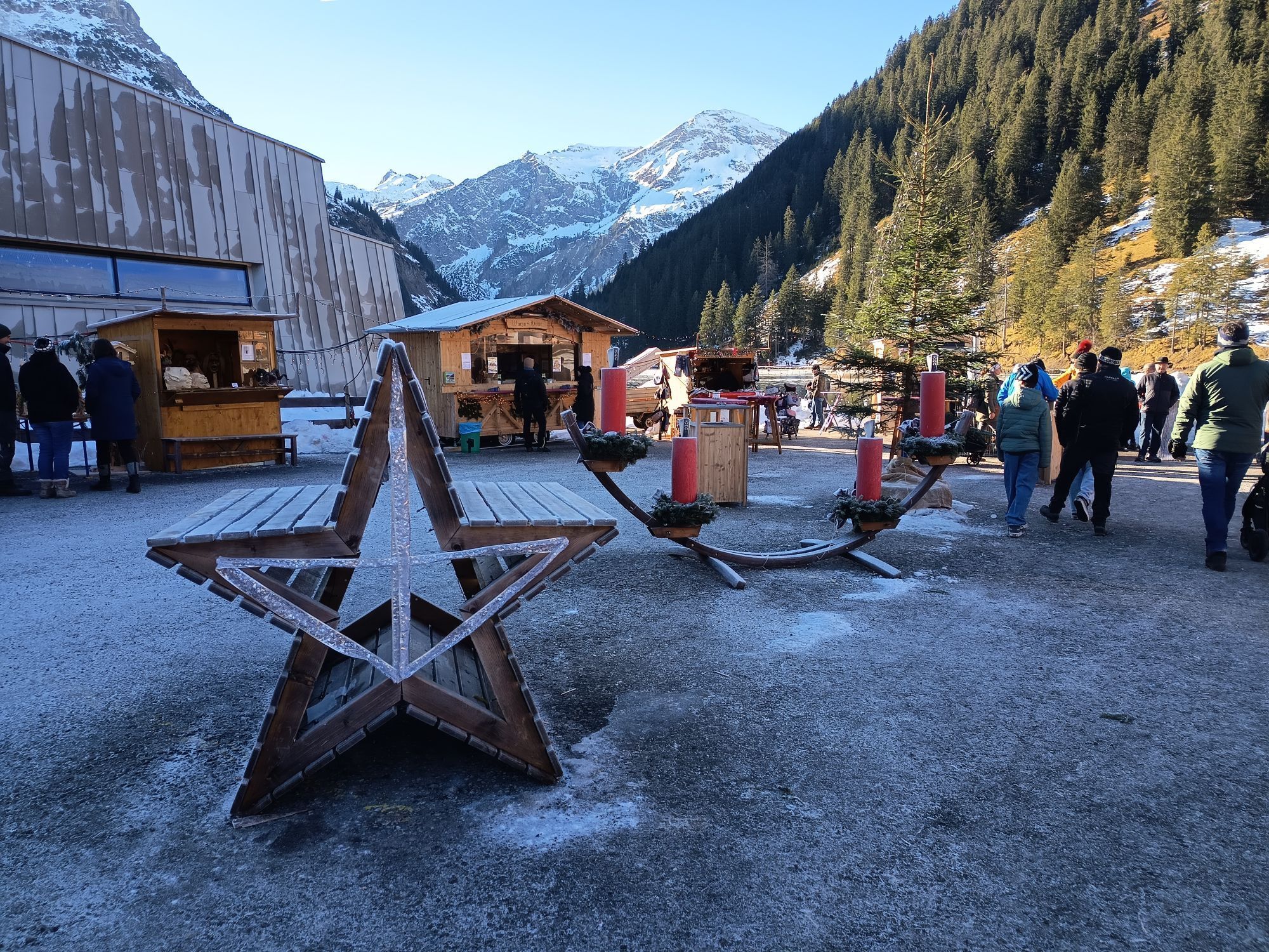
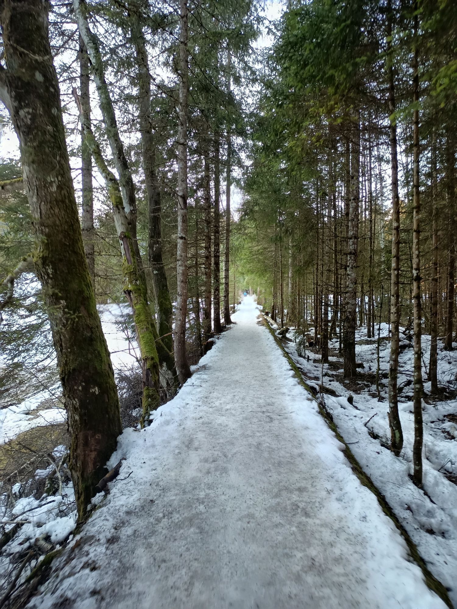
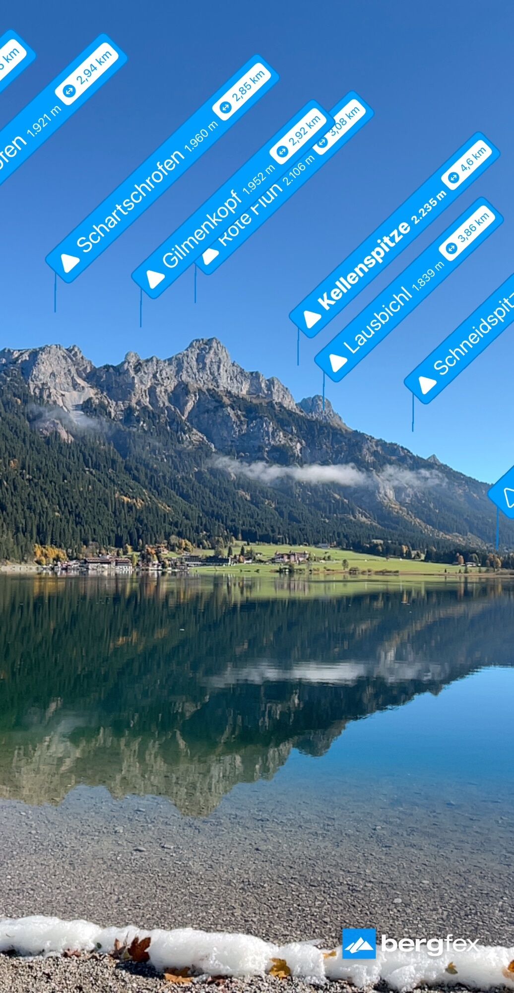
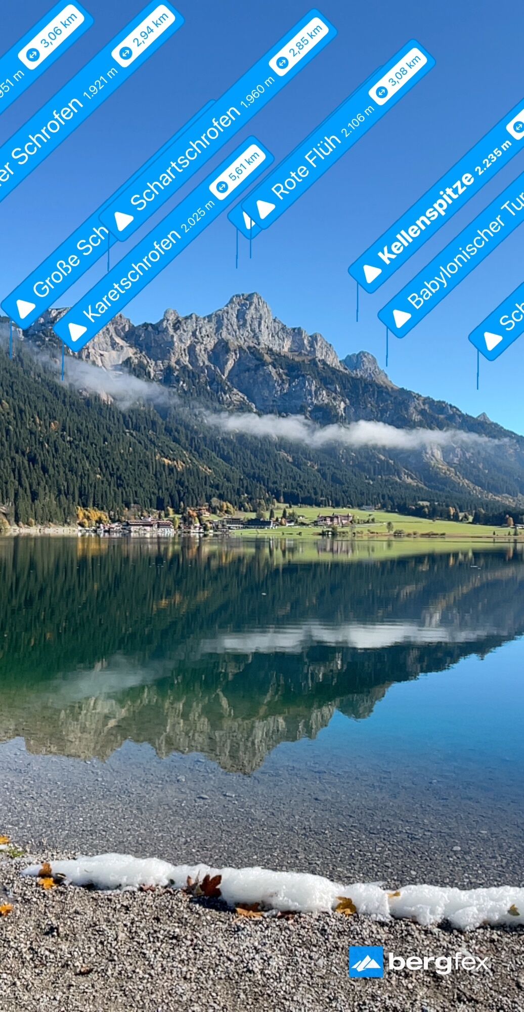
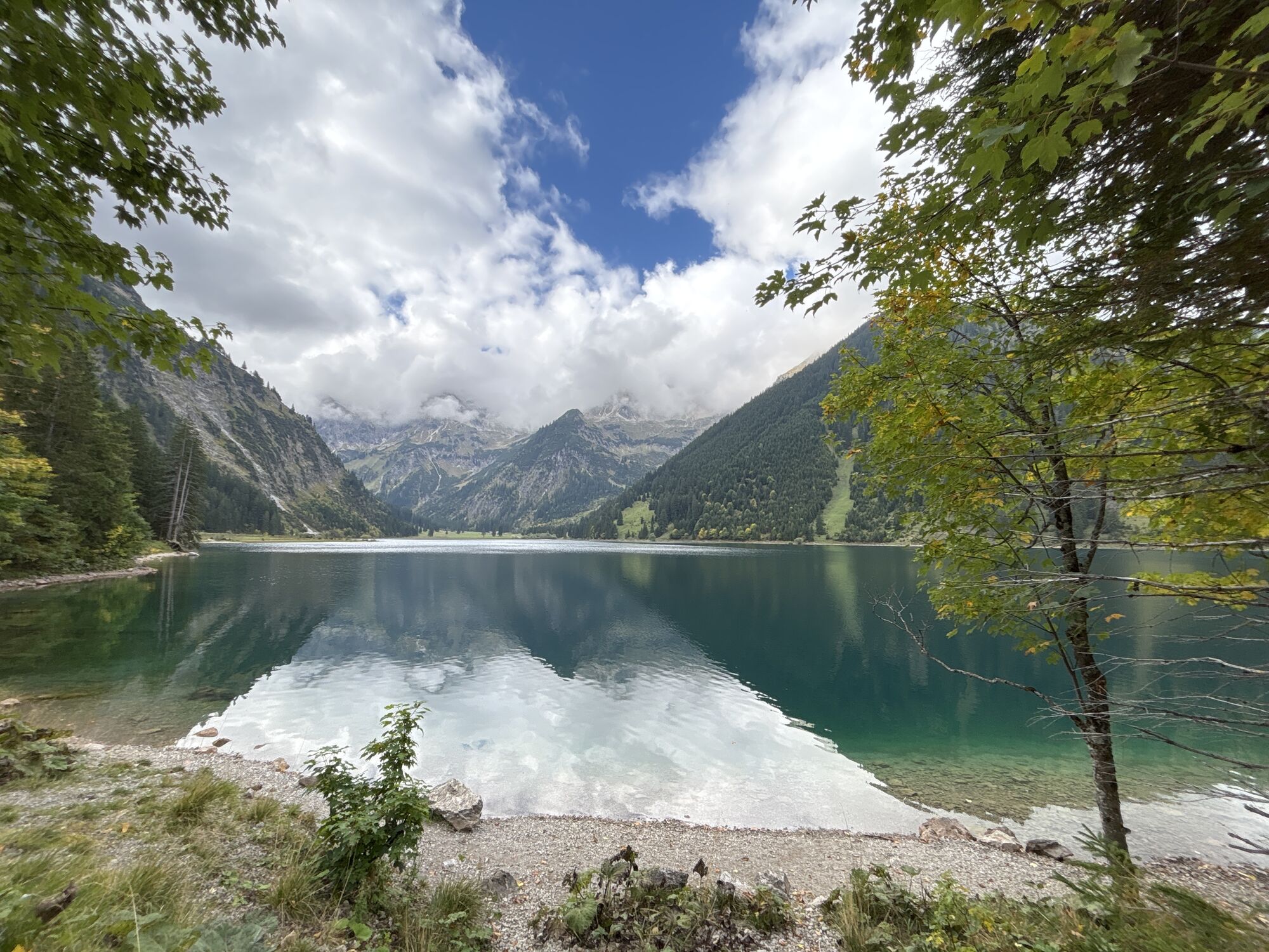
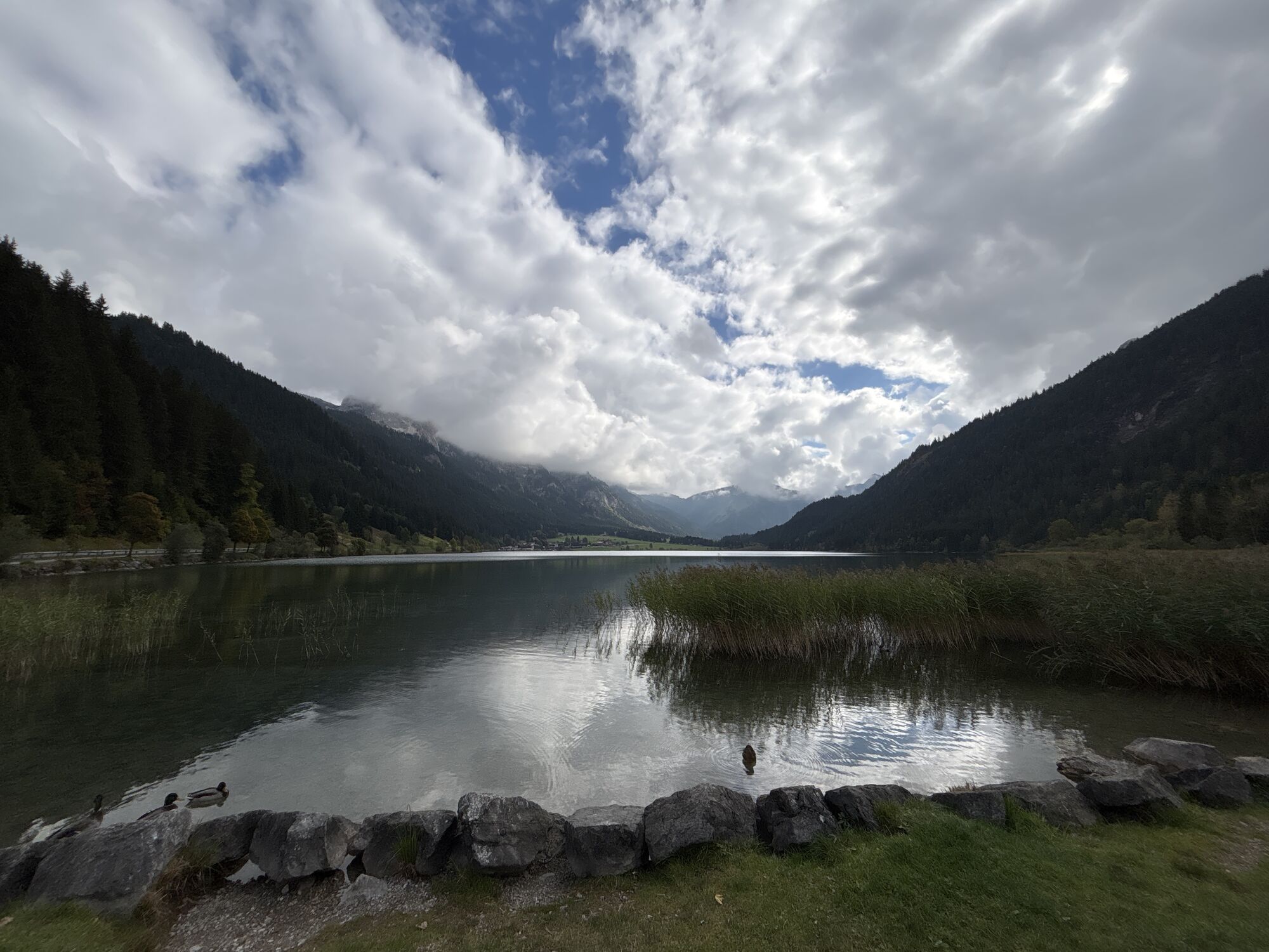
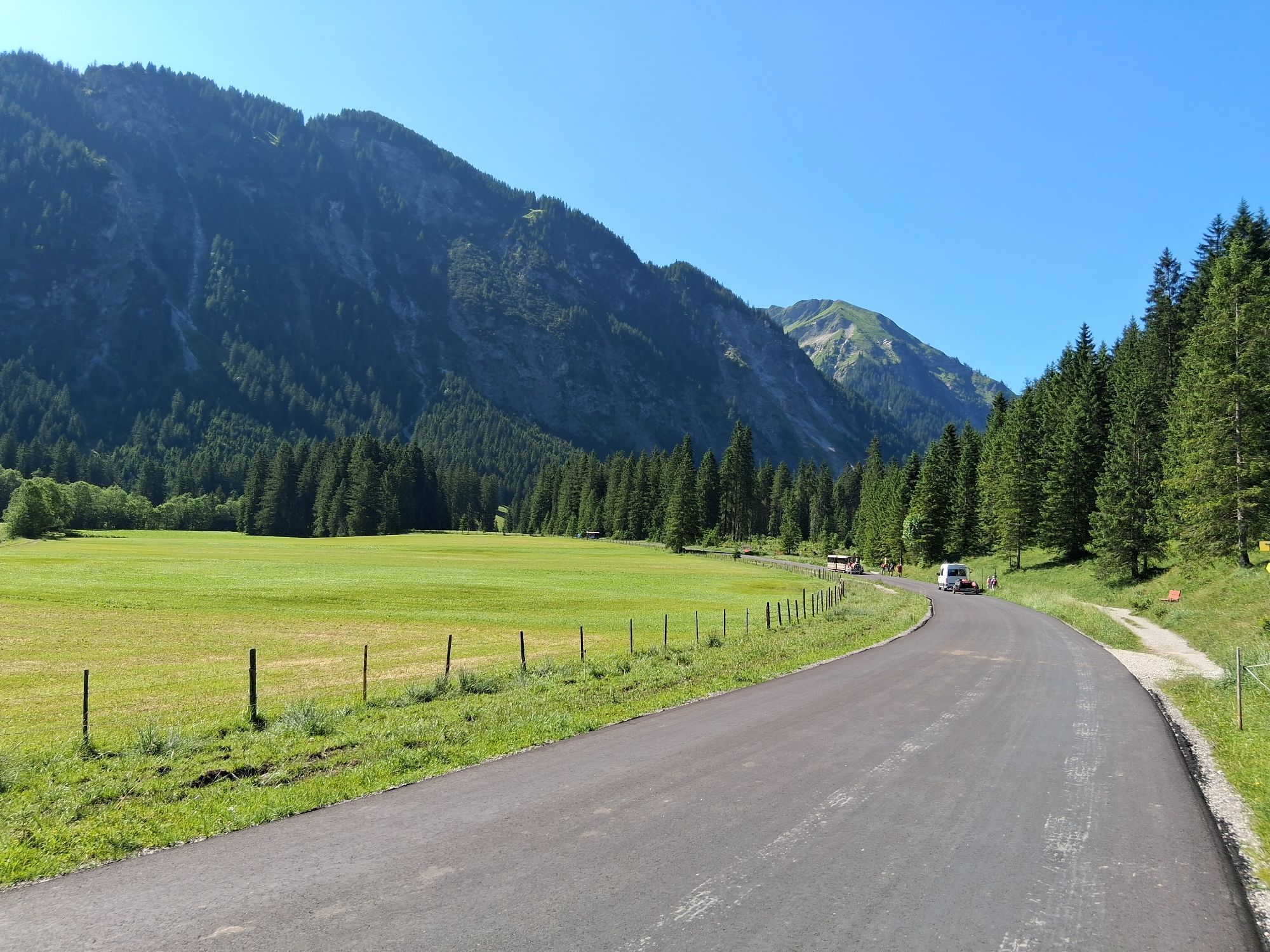
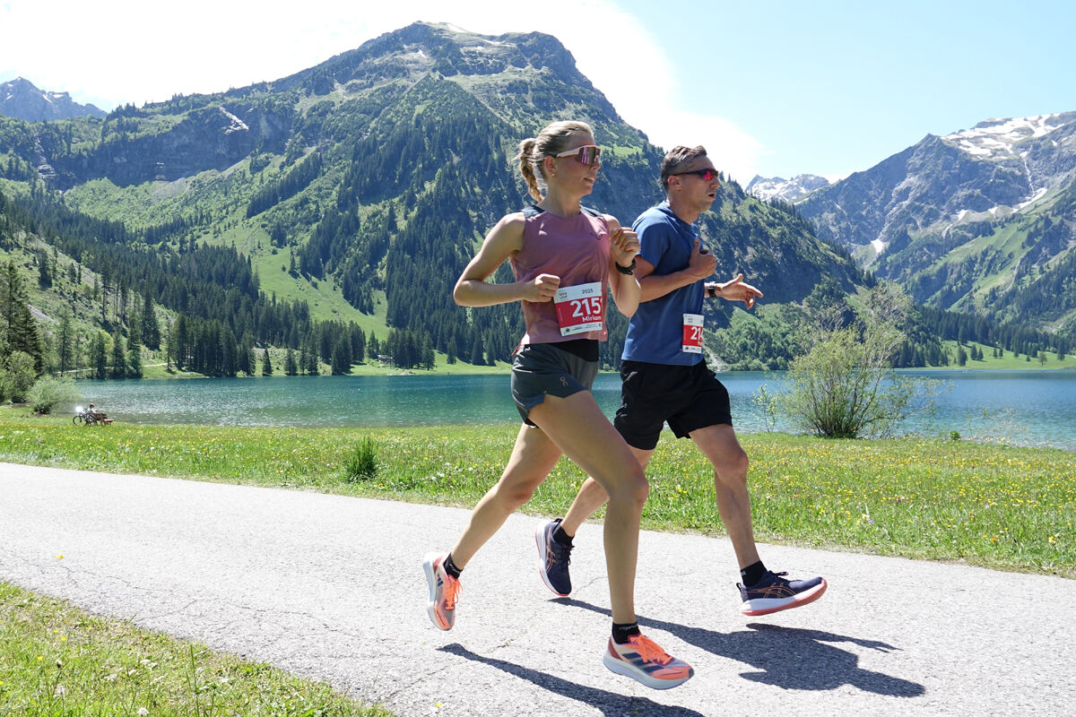
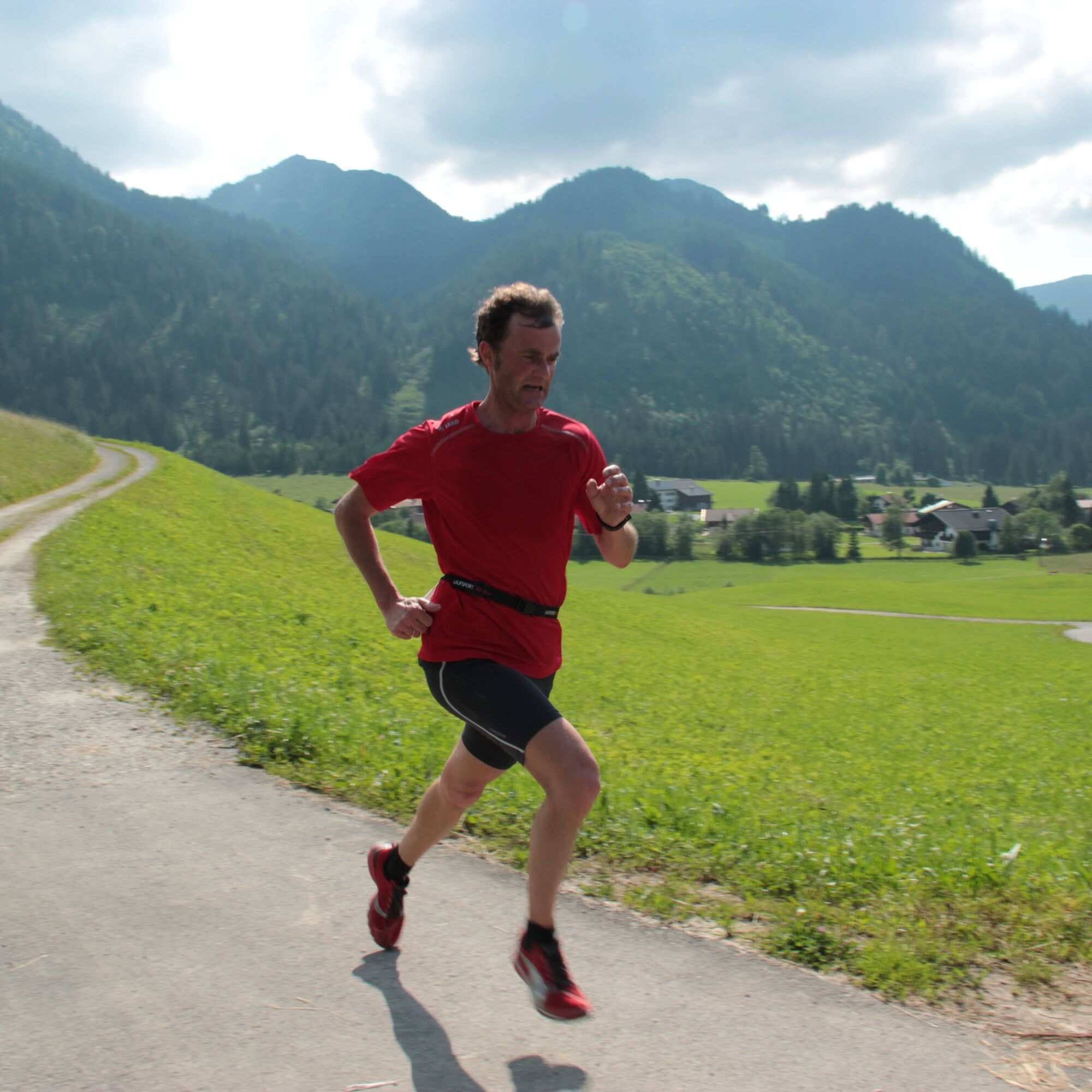
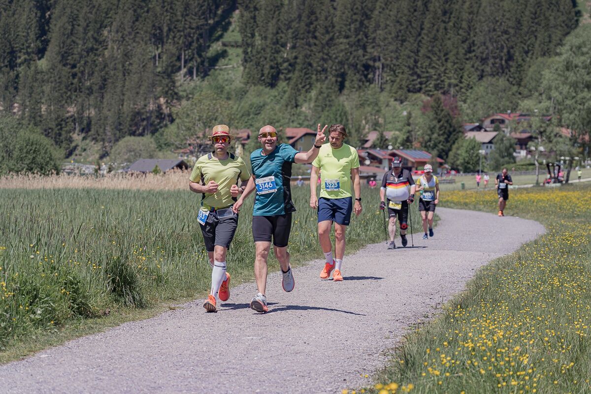
Zdjęcia naszych użytkowników
-
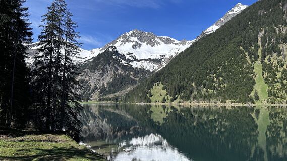
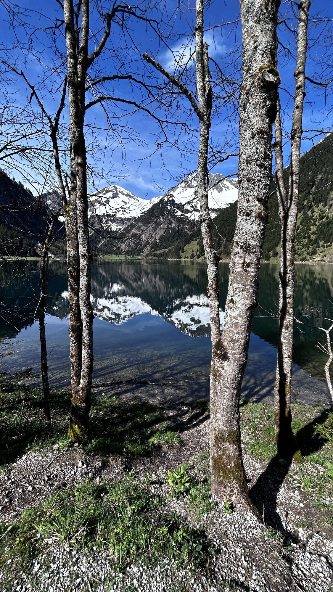
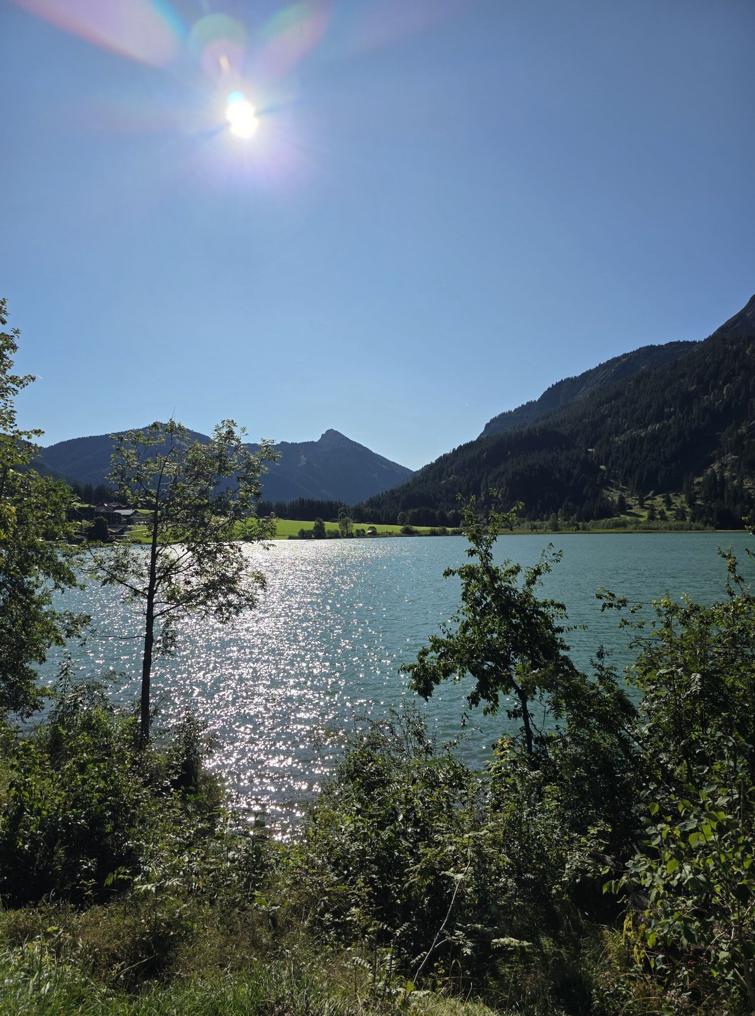
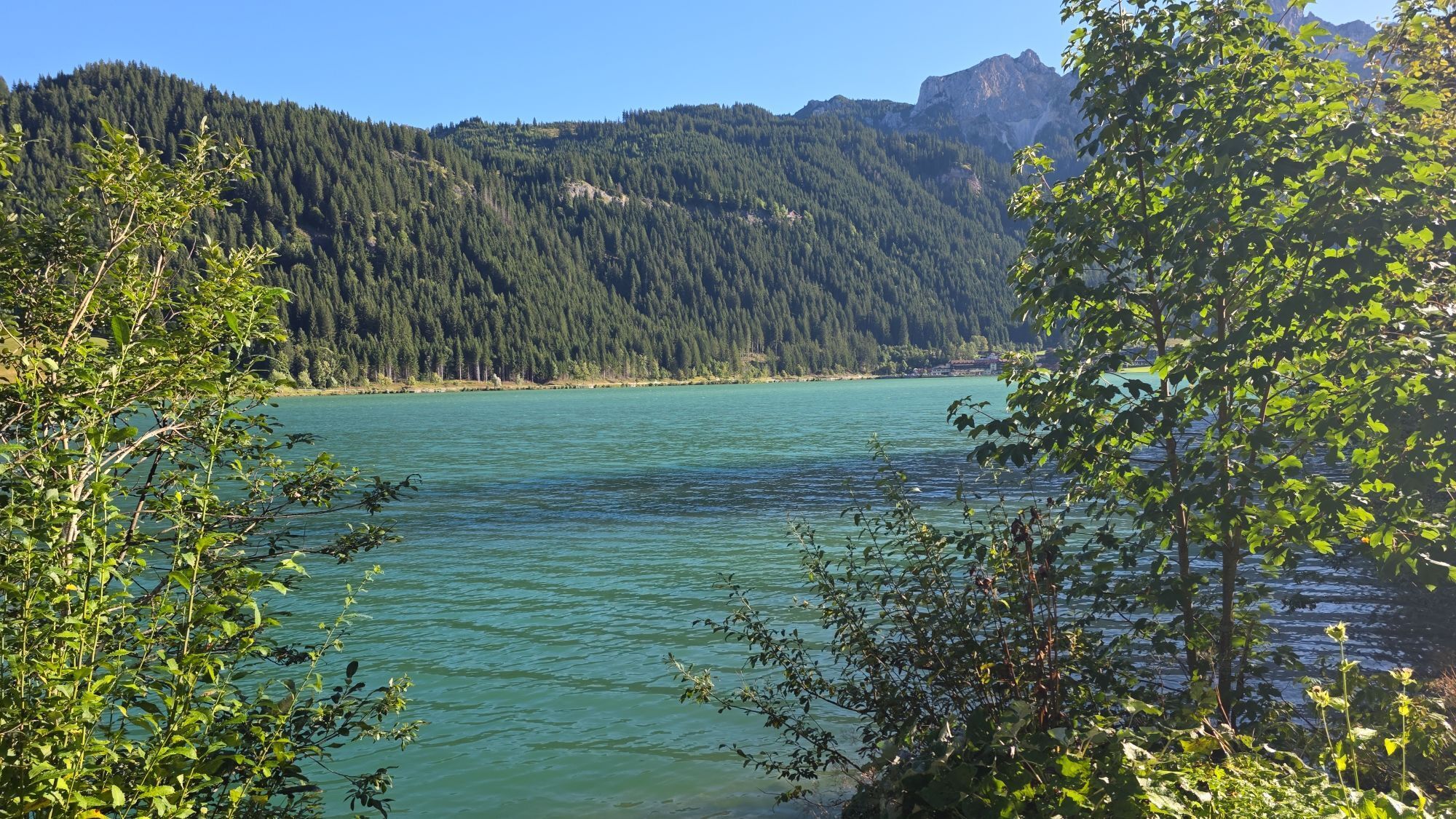
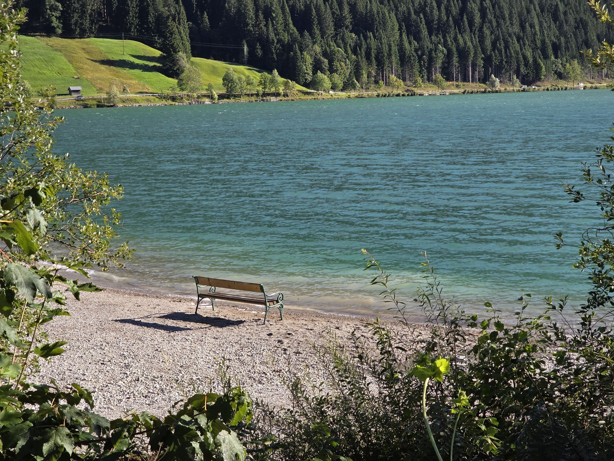
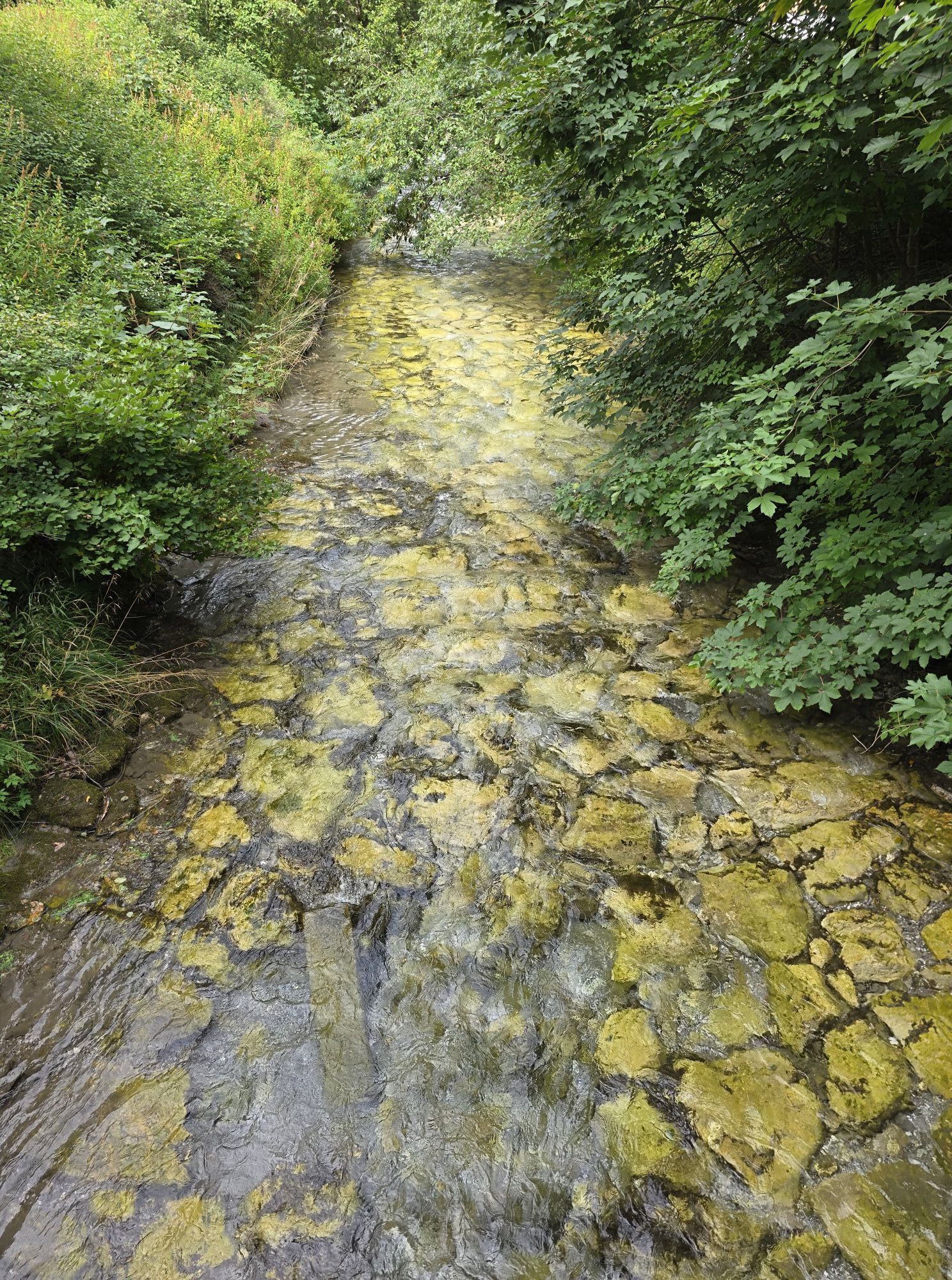
 © Christian BaeckeUtworzono dnia 04.05.2024
 -
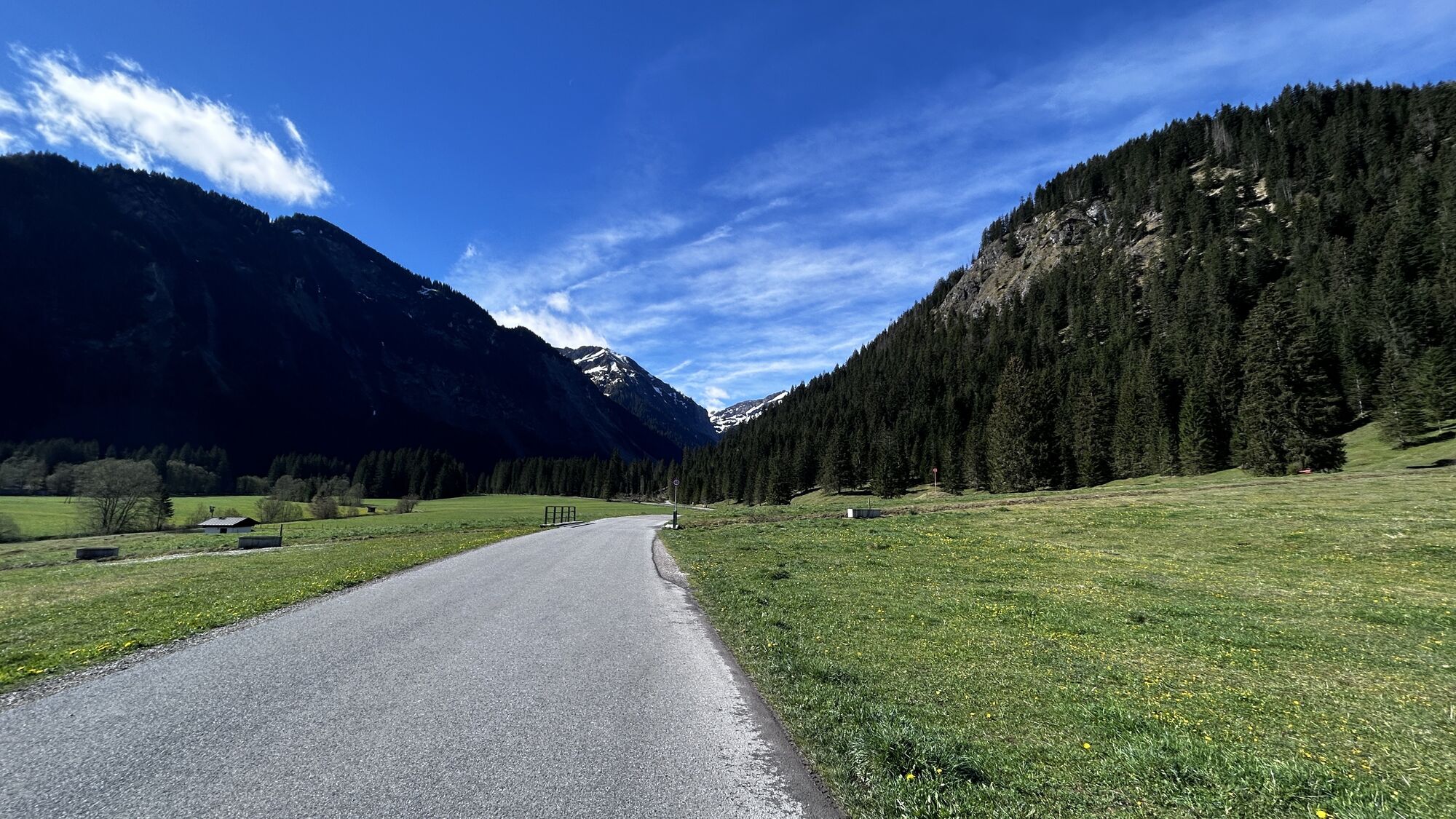
 © Christian BaeckeUtworzono dnia 04.05.2024
 -
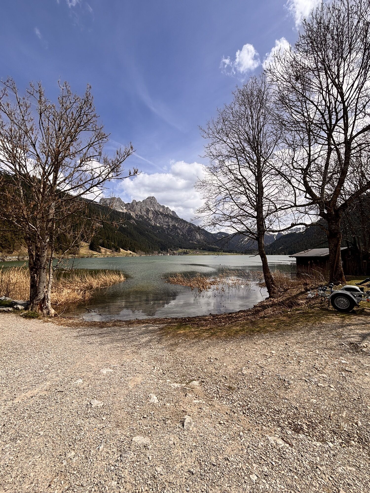
 © Christian BaeckeUtworzono dnia 04.05.2024
 -
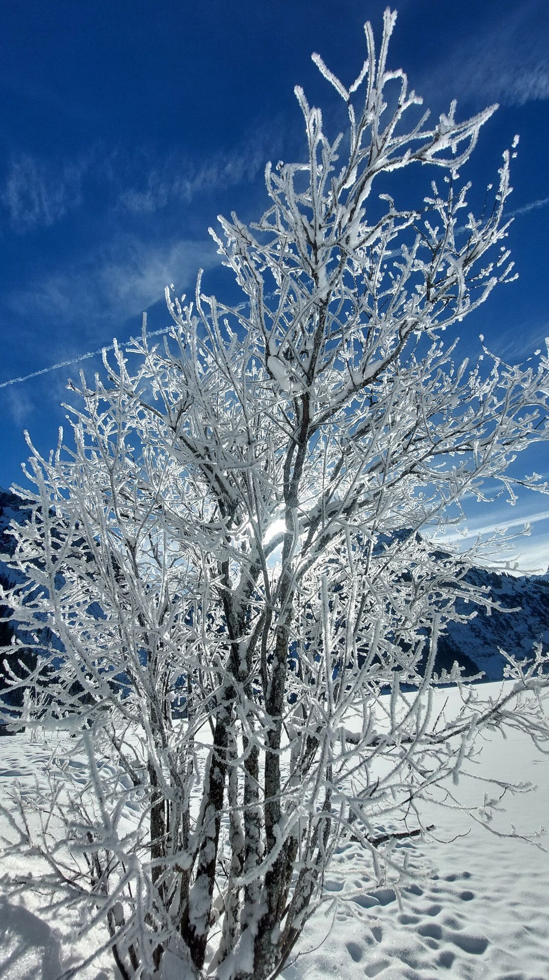
 © Christian BaeckeUtworzono dnia 04.05.2024
 -
 © Alexis SauterUtworzono dnia 18.04.2026
 -
 © Knixx BoxUtworzono dnia 27.01.2026
 -
 © Knixx BoxUtworzono dnia 27.01.2026
 -
 © Helmut ScheurerUtworzono dnia 26.01.2026
 -
 © Helmut ScheurerUtworzono dnia 25.01.2026
 -
 © Helmut ScheurerUtworzono dnia 25.01.2026
 -
 © Mc GantikowUtworzono dnia 05.01.2026
 -
 © Erich Graf 2Utworzono dnia 04.01.2026
 -
 © Bettina Miller 1Utworzono dnia 04.01.2026
 -
 © Erich Graf 2Utworzono dnia 04.01.2026
 -
 © Knixx BoxUtworzono dnia 29.12.2025
 -
 © Bettina Miller 1Utworzono dnia 14.12.2025
 -
 © Bettina Miller 1Utworzono dnia 14.12.2025
 -
 © Bettina Miller 1Utworzono dnia 14.12.2025
 -
 © Bettina Miller 1Utworzono dnia 14.12.2025
 -
 © Bettina Miller 1Utworzono dnia 14.12.2025
 -
 © Bettina Miller 1Utworzono dnia 14.12.2025
 -
 © Bettina Miller 1Utworzono dnia 14.12.2025
 -
 © Bernd RiedesserUtworzono dnia 12.10.2025
 -
 © Bernd RiedesserUtworzono dnia 12.10.2025
 -
 © Karin PetroviciUtworzono dnia 04.10.2025
 -
 © M KremsiUtworzono dnia 29.09.2025
 -
 © M KremsiUtworzono dnia 29.09.2025
 -
 © Sandra HillUtworzono dnia 15.09.2025
 -
 © Dietmar ZinkUtworzono dnia 14.09.2025
 -
 © Rainer KieningUtworzono dnia 06.09.2025
 -
 © Rainer KieningUtworzono dnia 06.09.2025
 -
 © Rainer KieningUtworzono dnia 06.09.2025
 -
 © Rainer KieningUtworzono dnia 01.09.2025
 -

 © Tobias RudolphUtworzono dnia 25.08.2025
 -
 © Tobias RudolphUtworzono dnia 25.08.2025
 -
 © Kerstin LimperUtworzono dnia 11.08.2025
 -
 © Heidi SchmidUtworzono dnia 29.07.2025
 -
 © LeaUtworzono dnia 19.07.2025
 -
 © Kay ErlerUtworzono dnia 13.07.2025
 -
 © Kay ErlerUtworzono dnia 13.07.2025
 -
 © Hans Werner BallUtworzono dnia 29.06.2025
 -
 © Hans Werner BallUtworzono dnia 29.06.2025
 -
 © Hans Werner BallUtworzono dnia 29.06.2025
 -
 © Alpenfun.euUtworzono dnia 24.06.2025
 -
 © Alpenfun.euUtworzono dnia 24.06.2025
 -
 © Alpenfun.euUtworzono dnia 24.06.2025
 -
 © Alpenfun.euUtworzono dnia 24.06.2025
 -
 © Erich Graf 2Utworzono dnia 09.06.2025


Date: Saturday, 30 May 2026
From 9:00 a.m. bib number distribution and late registrations at Sportcenter Nesselwängle.
Every athlete aged 16 and older is eligible to start on the 10 km and 23 km routes.
Start/Finish...
Date: Saturday, 30 May 2026
From 9:00 a.m. bib number distribution and late registrations at Sportcenter Nesselwängle.
Every athlete aged 16 and older is eligible to start on the 10 km and 23 km routes.
Start/Finish location: Sportcenter Nesselwängle
Start at 12:00 p.m.
Cut-off time at 4:00 p.m.
Award ceremony at 4:30 p.m. at Sportcenter Nesselwängle
Route:
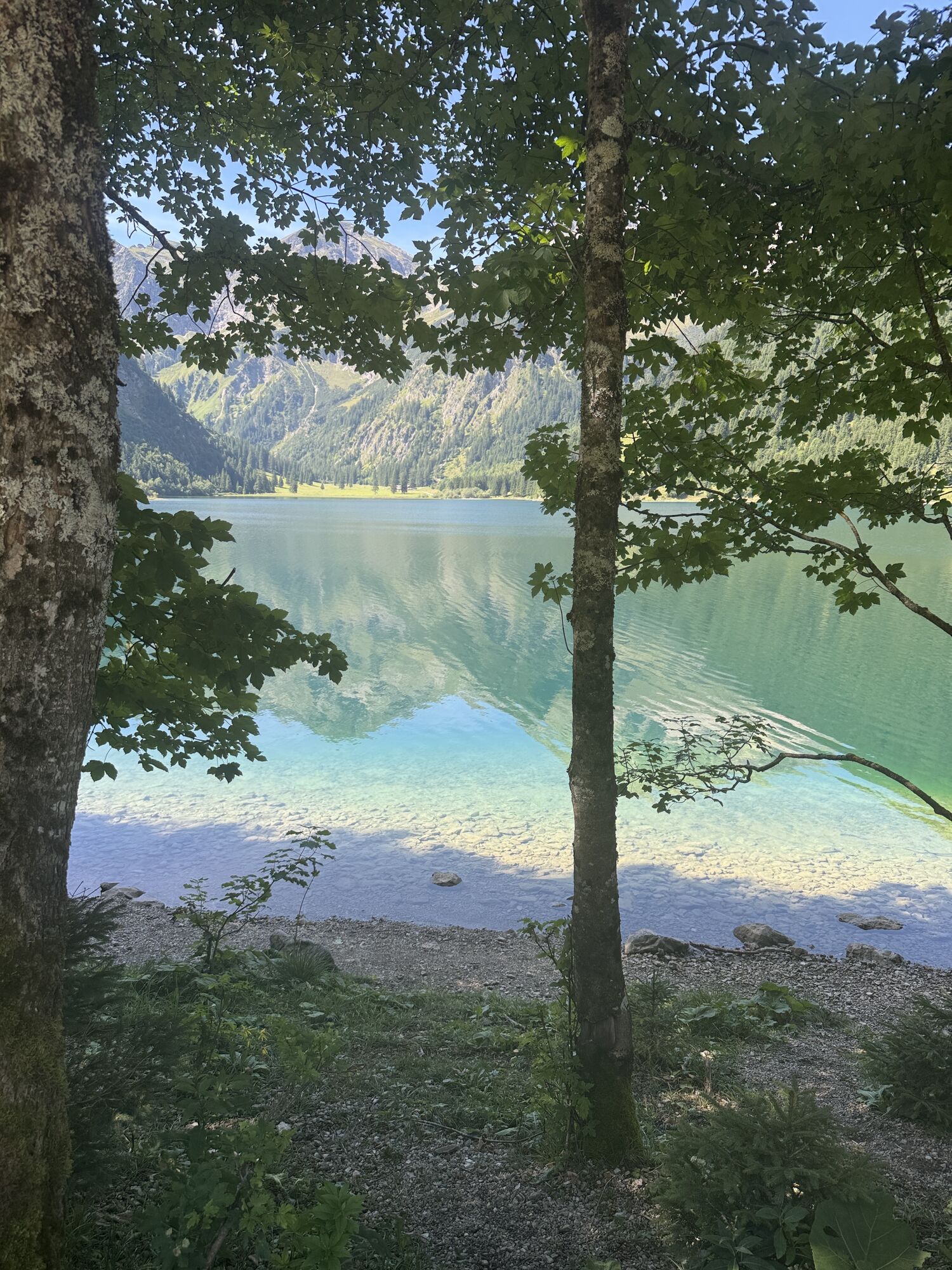
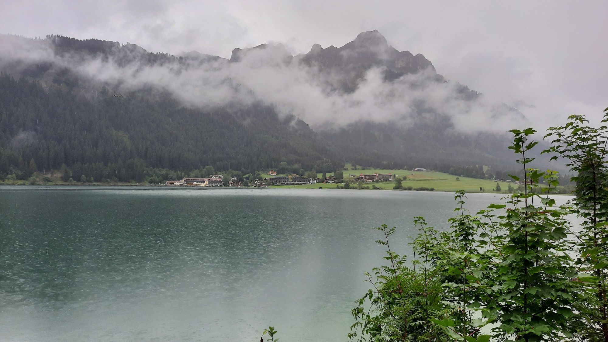
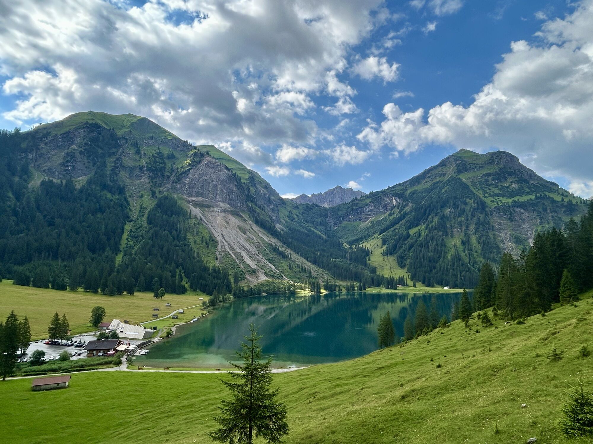
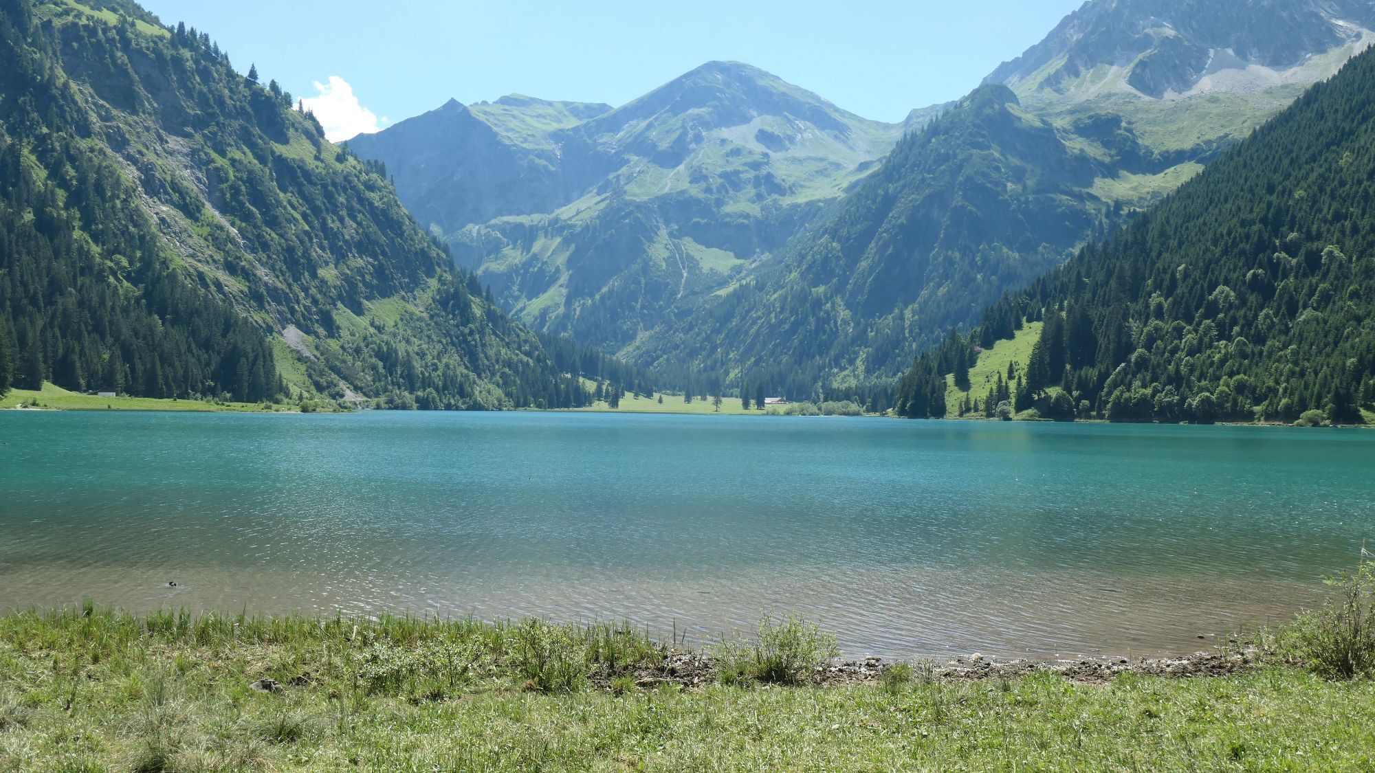
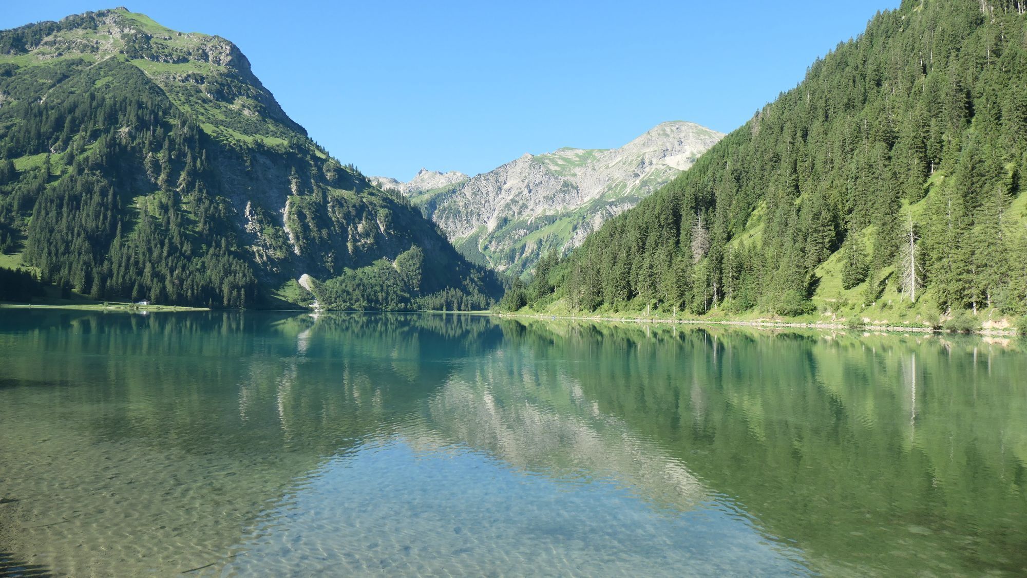
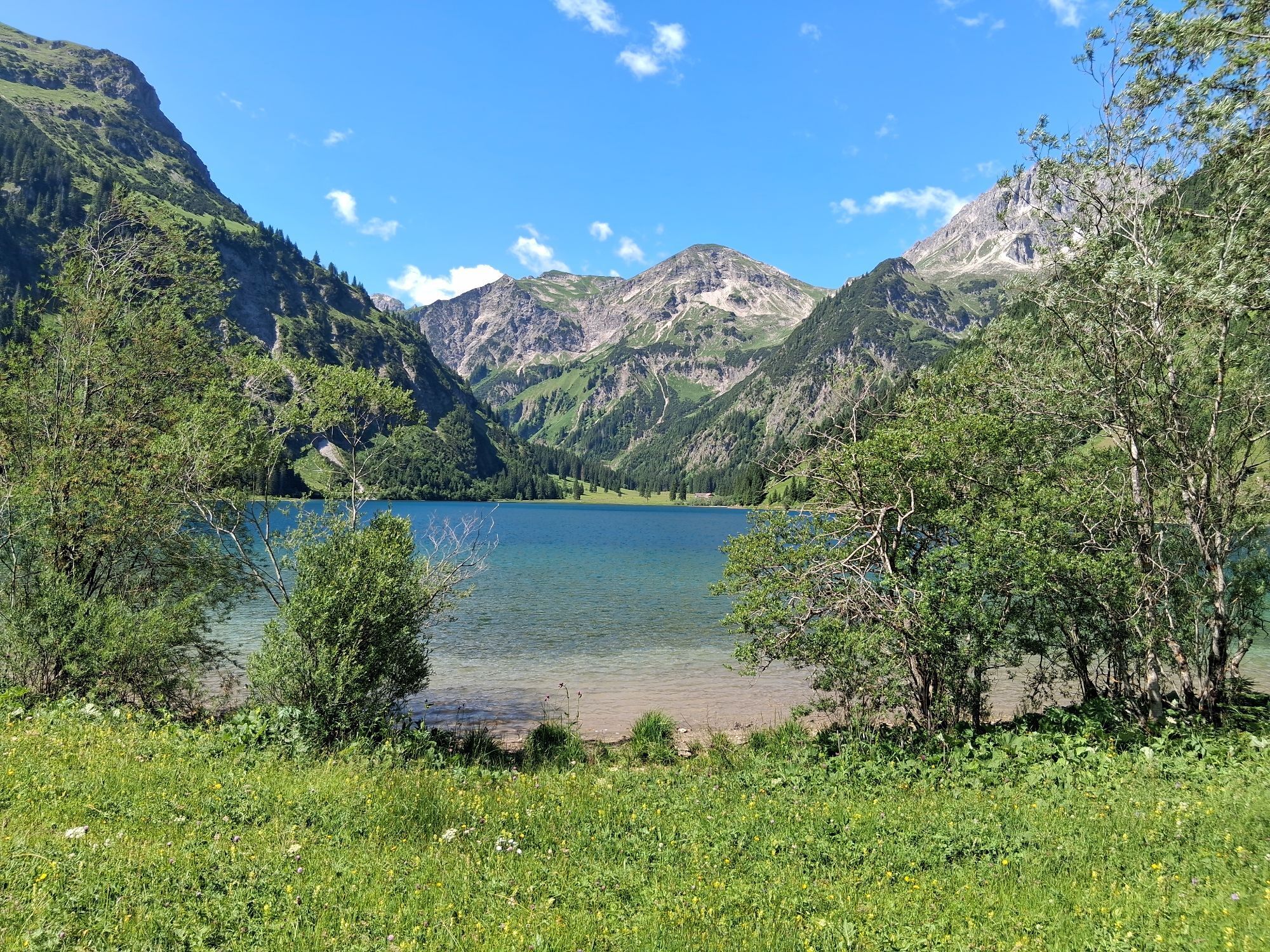
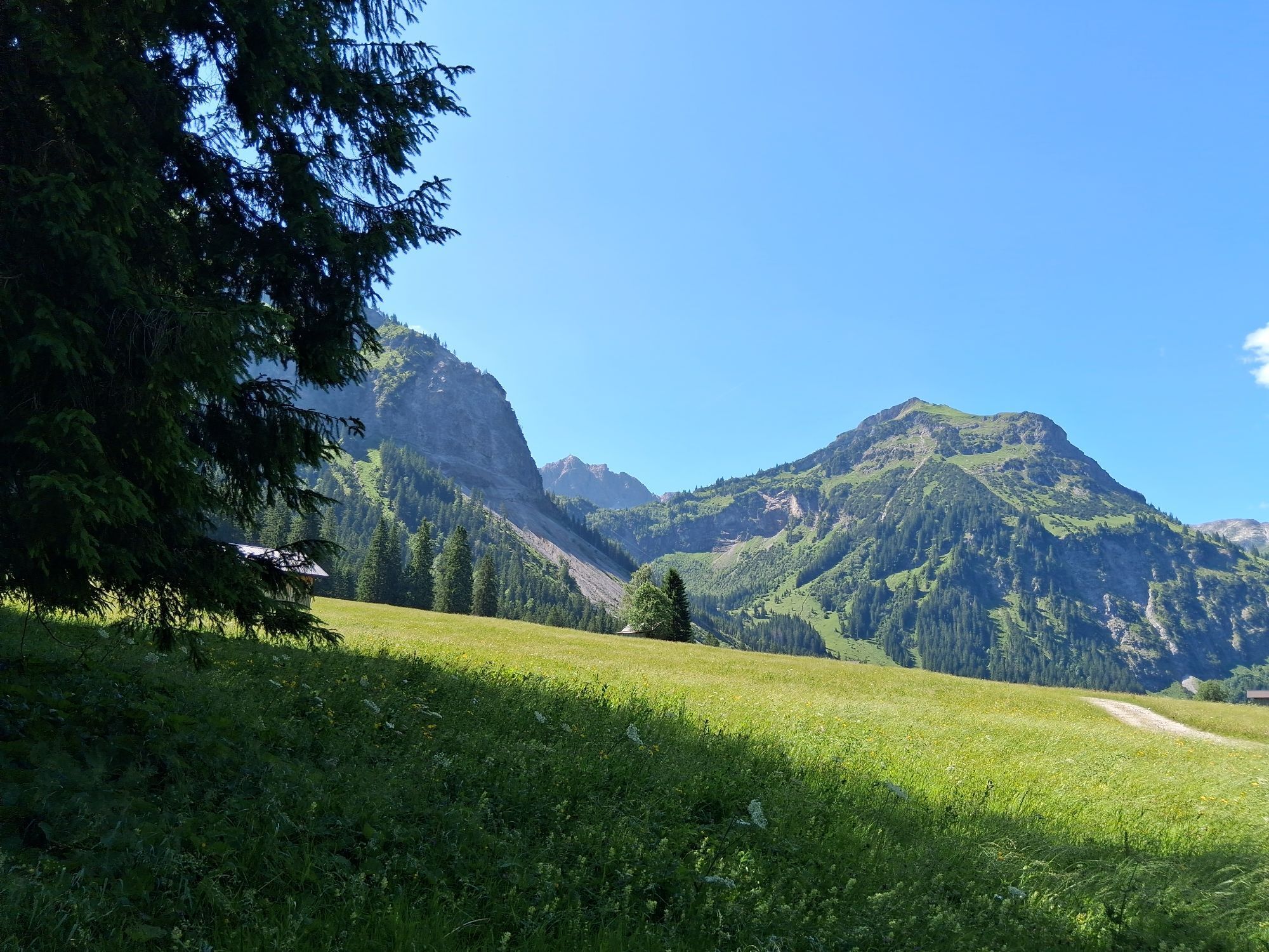
Nesselwängle – Haldensee – Tannheim – Vilsalpsee – Tannheim – Haldensee – Nesselwängle
Entry fee:
until 29.04.2026: 30.00 € until 29.05.2026: 40.00 € On-site late registration plus 10.00 EuroRefreshment stations:
Station 1 – Haldensee East after 3.4 km Station 2 – Tannheim Ressebichl after 7.0 km Station 3 & 4 – Tannheim towards Vilsalpsee, end of forest path after 10.4 km & 12.6 km Station 5 – Tannheim Ressebichl after 16.0 km Station 6 – Haldensee East after 19.5 km Station 7 – Finish refreshments Nesselwängle after 23 kmClass divisions
Men / Women Junior: U20 (2008 - 2007) Men / Women: Over 20 - Under 30 (2006 - 1997) Men / Women Master M/W30: Over 30 - Under 40 (1996 - 1987) Men / Women Master M/W40: Over 40 - Under 50 (1986 - 1977) Men / Women Master M/W50: Over 50 - Under 60 (1976 - 1967) Men / Women Master M/W60: Over 60 - Under 70 (1966 - 1957) Men / Women Master M/W70: Over 70 (1956 and older)
Nesselwängle – Haldensee – Tannheim – Vilsalpsee – Tannheim – Haldensee – Nesselwängle
Start numbers are only handed out personally to the respective participant. There is an unofficial finish list for all routes, which serves as control for the organizer.
The participant acknowledges that during the "SEEN-LAUF Tannheimer Tal" the hiking trails and roads are not closed, all hiking trails and roads are also used by other people, and generally the traffic regulations (StVO) apply.
Coming from Reutte (B198) on the B199 towards Nesselwängle,
or coming from Oberjoch (B310) on the B199 towards Nesselwängle
Bus line 120 serves a bus stop (Krinnalplift) at the sport center
Bus:
Bus connection from Sonthofen to Oberjoch Bus connection from Jungholz to Oberjoch Bus connection from Oberjoch Bus connection from Pfronten Bus connection from ReutteTrain stations:
Sonthofen: 24 km (bus connection Sonthofen - Oberjoch, Oberjoch - Nesselwängle) Pfronten/Ried: 16 km (bus connection Pfronten - Nesselwängle) Reutte: 24 km (bus connection Reutte - Nesselwängle)Airports:
Memmingen 80 km Munich 205 km Stuttgart 205 km Zürich 220 km Innsbruck 120 kmDirectly from Sportcenter Nesselwängle or Liftgesellschaft Nesselwängle Krinnalplift
1
The run is part of the Laufsport Saukel CUP 2026!
There are refreshment and drink stations set up along the route, where waste can be disposed of. It is forbidden to dispose of waste outside these zones. Those who disregard this may be excluded by the organizer.
Kamery internetowe z trasy
-
Tannheim
-
Neunerköpfle Mittelstation
-
Haldensee - Neunerköpfle
-
Grän - Almdorf Tirol
-
Neunerköpfle Mittelstation
-
Panoramarestaurant Hahnenkamm
-
Grän - Hotel Bergblick
-
Füssener Jöchle Bergstation
-
Obere Halde
-
Füssener Jöchle Bergstation
-
Füssener Jöchle Bergstation
-
Füssener Jöchle Bergstation
-
Füssener Jöchle Bergstation
-
Tannheimertal
-
Füssener Jöchle Bergstation
-
Füssener Jöchle Bergstation
-
Haller
-
Gundhütte - Tannheimertal
-
Talstation Neunerköpfle - Tannheim
Popularne wycieczki w okolicy
-
4,8
Around Weißensee
światłoWędrówka 6,12 km -
4,8
Tannheim / Vilsalpsee / Landsberger Hütte
średniWędrówka 15,7 km -
4,7
3-Gipfel-Tour
średniWędrówka 11,2 km -
5,0
Hiking tour to Breitenberg
ciężkiWędrówka 15,6 km -
5,0
Gemeinde Grän, Tirol/Österreich Aggenstein Rundtour über Höhenweg
średniWędrówka 9,84 km -
4,2
Three-lake route (awarded the Tyrolean Hiking Trail Seal of Quality)
średniWędrówka 14,8 km -
4,6
3-Seen Rundtour Vilsalpsee / Schrecksee / Traualpsee
średniWędrówka 17,1 km -
4,9
Iseler und Kühgundkopf
średniWędrówka 7,63 km -
4,8
Bad Hindelang, Hinterstein, Deutschland
średniWędrówka 14,1 km -
3,1
Hochvogel 2592 m
ciężkiWędrówka 18,0 km

Wędrówki i tropienie


Nie przegap ofert i inspiracji na następne wakacje
Twój adres e-mail została dodana do listy mailingowej.