






Kesselwandspitze
From the Brandenburger Haus over the Kesselwand glacier to the upper Guslarjoch, slight descent to the lower Guslarjoch, and a moderately steep ascent over scree to the summit.

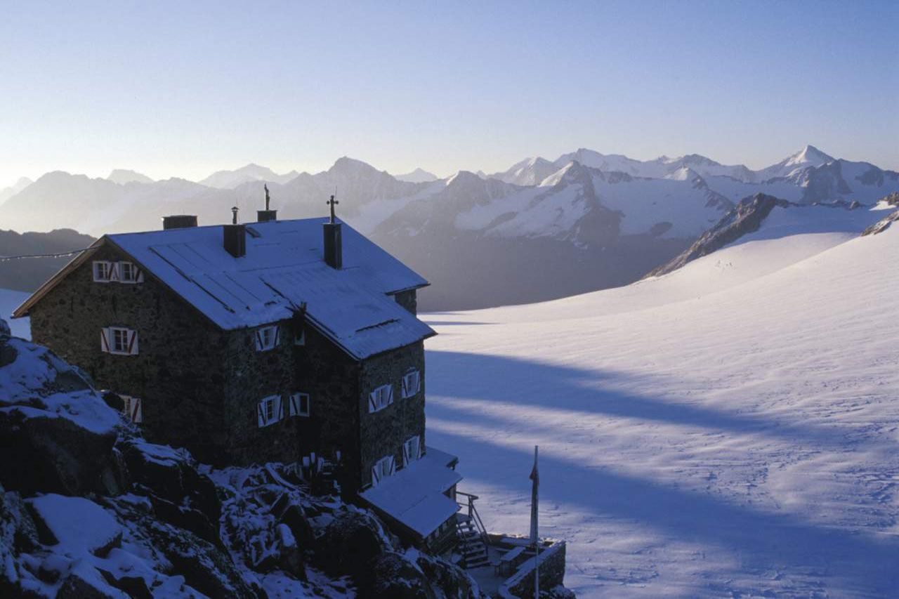

From the Brandenburger Haus over the Kesselwand glacier to the upper Guslarjoch, slight descent to the lower Guslarjoch, and a moderately steep ascent over scree to the summit.
Tak
Appropriate equipment such as breathable and weather-appropriate outdoor clothing, ankle-high hiking boots, wind, rain and sun protection, a hat, possibly gloves, is required for all hikes and routes. Carrying a first aid kit, a mobile phone, and possibly a hiking map, as well as sufficient provisions for hikes without the possibility to restock, is necessary.
For those free of vertigo, sure-footed, and highly alpine experienced mountaineers; excellent physical condition, extensive mountain experience, alpine climbing equipment, safety and navigation aids, good weather conditions recommended. Please check the current weather report at: www.oetztal.com/de/sommer.html
The car journey to ÖTZTAL. Located in Tyrol, the Ötztal branches off to the south as the longest side valley of the Eastern Alps. Traveling by car leads visitors over the Inn valley to the valley entrance and further along the Ötztal. In addition to the toll motorway, country roads can also be used. Your journey can be quickly and conveniently planned with the route planner: To the route planner: www.google.at/maps
Travel comfortably and safely to the Ötztal train station by train. The terminus and exit point is the ÖTZTAL train station. Afterwards, conveniently and quickly continue by public transport or local taxi companies through the whole valley to your desired destination! The current bus schedule is available at: http://fahrplan.vvt.at
In the mountaineering village of Vent, the following parking options are available.
- In summer in front of the village (parking meter, coins or EC card only) and at the valley station of the chairlift (at the cable car cashier)
- In winter only at the valley station of the chairlift.
Cost: € 5.00 per day/car
More information about hiking in the Ötztal: www.oetztal.com/wandern
Reservation of hut sleeping places necessary!
The Kesselwandspitze is only recommended for sure-footed and experienced mountaineers!
Glacier tour - glacier equipment required
Popularne wycieczki w okolicy
-
4,7
Vent - Kreuzspitze
Wędrówka 20,6 km -
4,3
Rundweg Vernagter See plus Einkehr Finailhof
średniWędrówka 8,73 km -
4,8
Kurzras - Schöne Aussicht - ins hintere Eis
średniWędrówka 13,0 km -
4,4
Hochtour Wildspitze, 3.768m
średniWycieczka wysokogórska 9,75 km -
4,4
Vent - Wilder Mann - Breslauer Hütte - Stableinalm
średniWędrówka 7,25 km -
4,1
Vernagt-Stausee (Seerundgang)
światłoWędrówka 6,70 km -
3,8
Breslauer Hut
średniWędrówka 4,75 km -
3,1
Tiefenbachglacier - Mountaineering Village Vent
średniWędrówka 10,8 km -
4,8
Kurzras - Lazaunhütte - Kurzras
światłoWędrówka 6,77 km -
4,8
Vent - Martin Busch Hut - Similaun Hut
średniWędrówka 13,7 km
Wędrówki i tropienie


Nie przegap ofert i inspiracji na następne wakacje
Twój adres e-mail została dodana do listy mailingowej.





