






Vernagthütte - Fluchtkogel
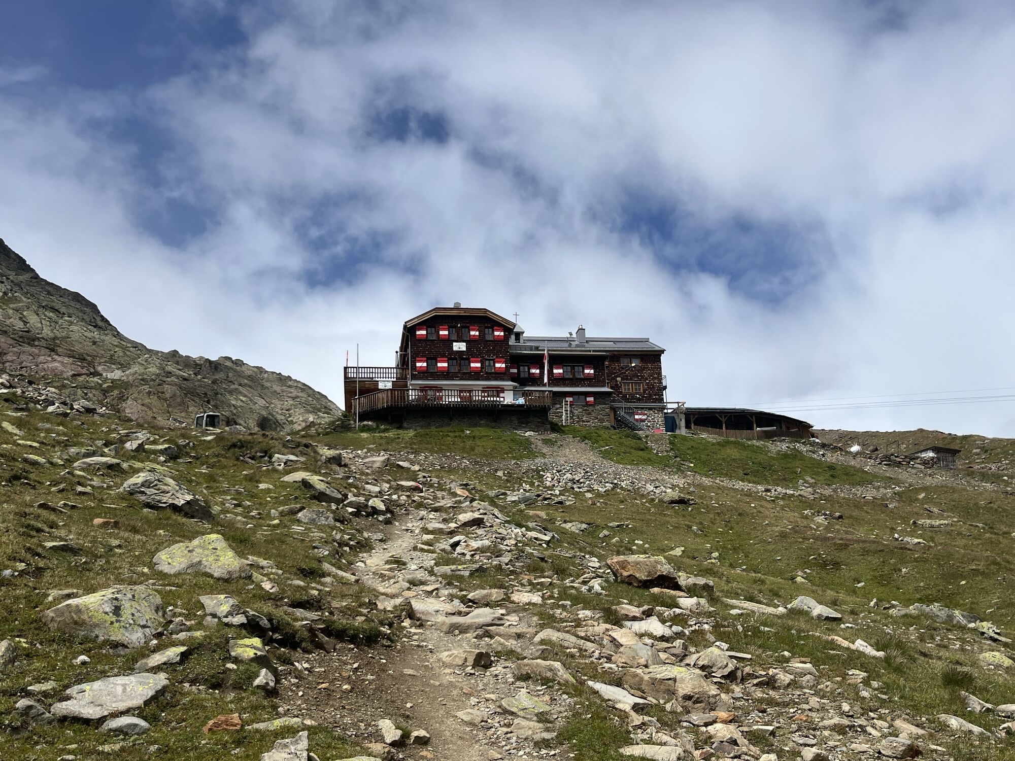
From the Vernagthütte on a path over the moraine to the Guslarferner, which is entered shortly before the rain gauge. Over the crevassed Guslarferner up to the Upper Guslarjoch (3,361 m). From here steeply...
From the Vernagthütte on a path over the moraine to the Guslarferner, which is entered shortly before the rain gauge. Over the crevassed Guslarferner up to the Upper Guslarjoch (3,361 m). From here steeply over the firn slope (sometimes icy). Finally flattening again to the summit.


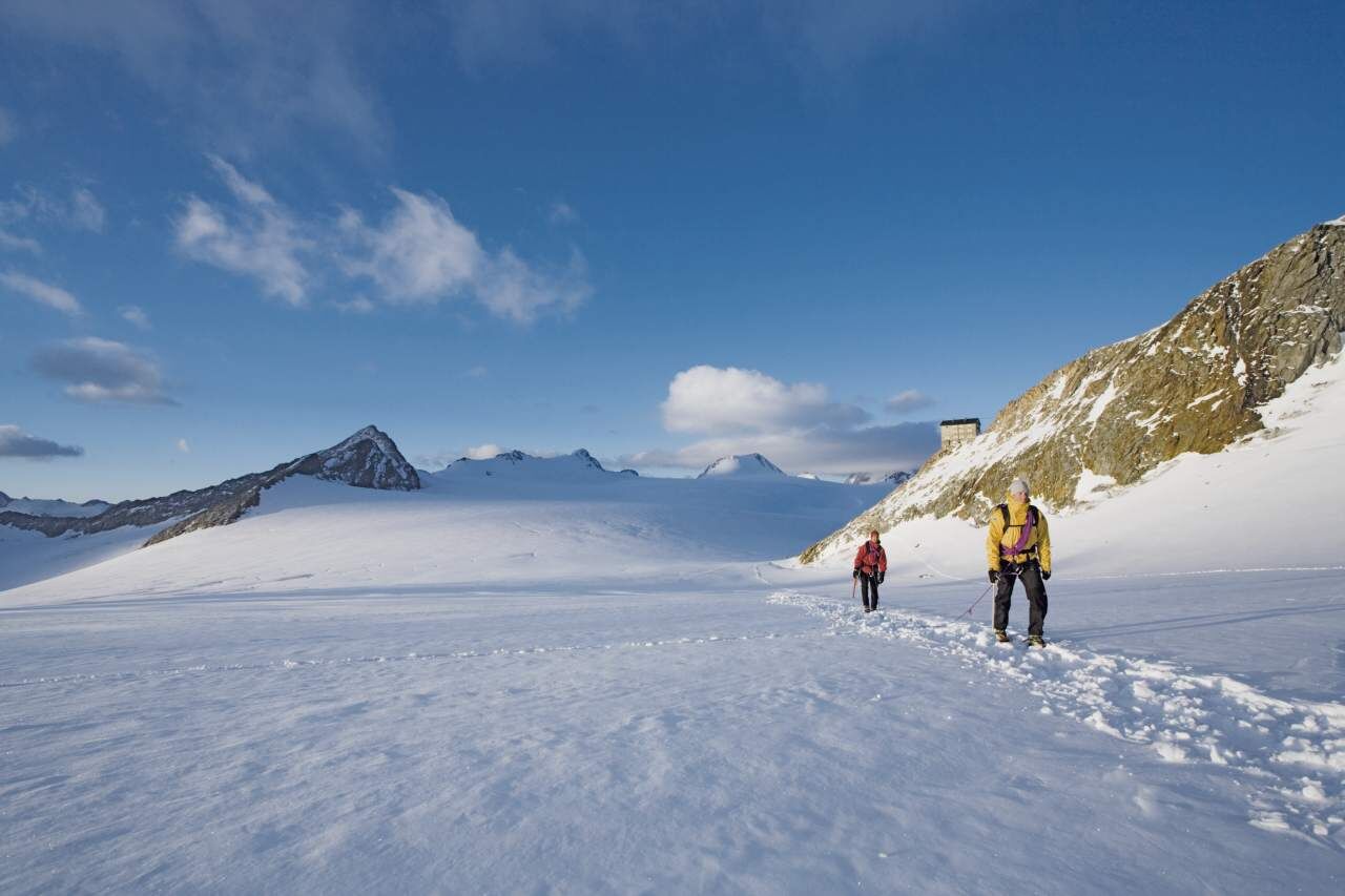
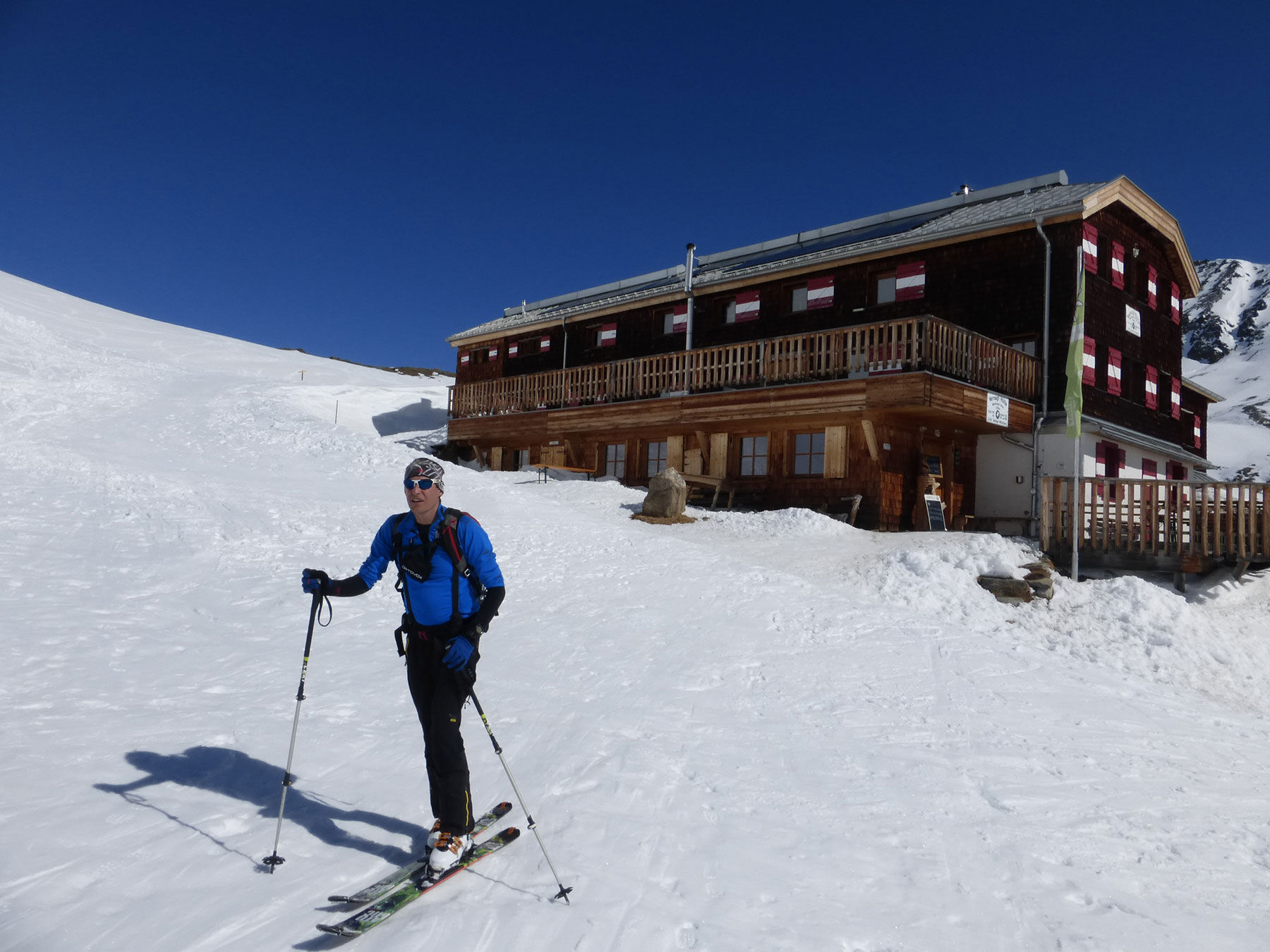
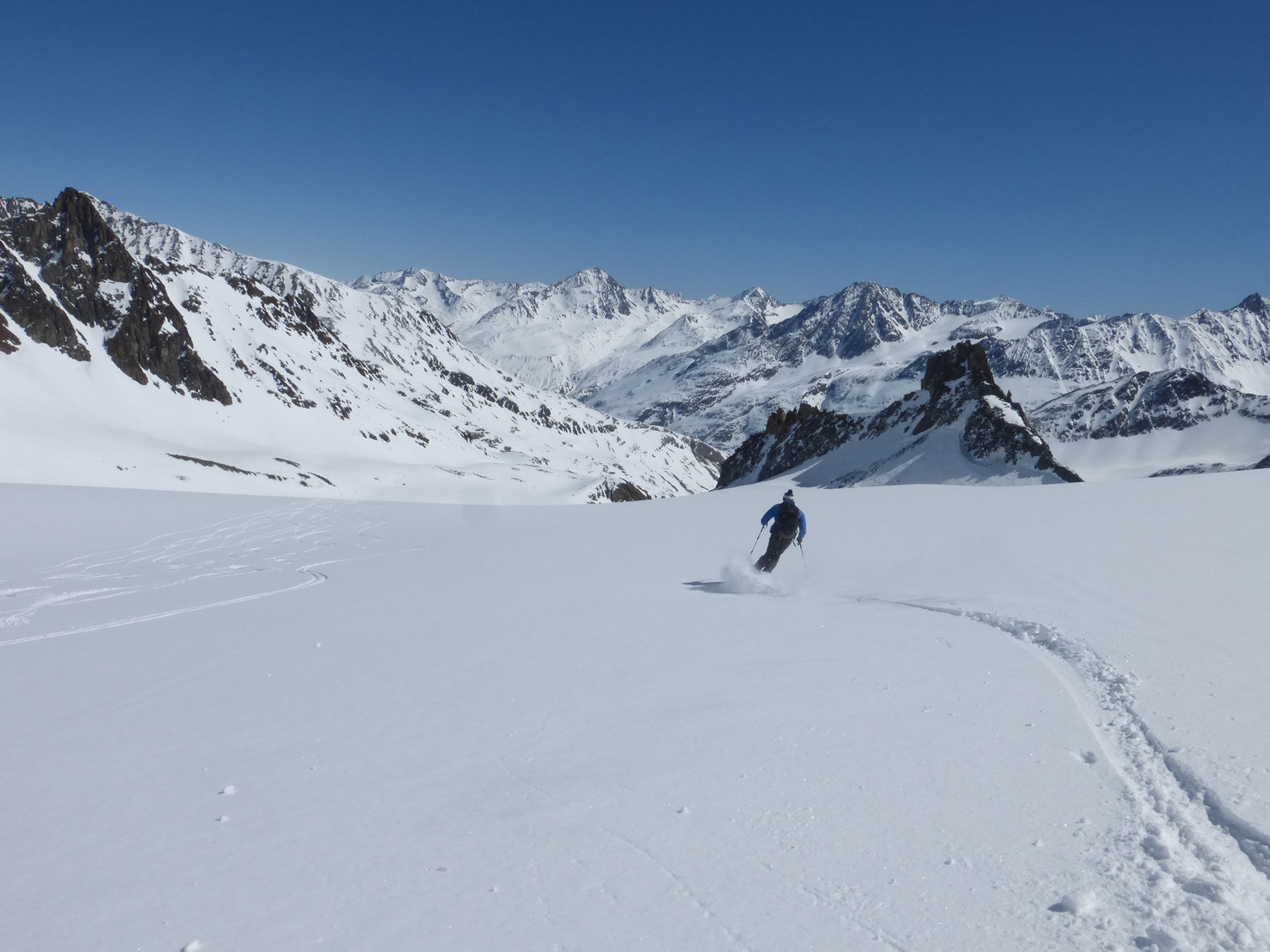

From the Vernagthütte on a path over the moraine to the Guslarferner, which is entered shortly before the rain gauge. Over the crevassed Guslarferner up to the Upper Guslarjoch (3,361 m). From here steeply over the firn slope (sometimes icy). Finally flattening again to the summit.
Tak
Suitable equipment such as breathable and weather-appropriate outdoor clothing, ankle-high hiking boots, wind, rain and sun protection, hat, possibly gloves, is required for all hikes and routes. It is necessary to carry a first aid kit, a mobile phone and possibly a hiking map, as well as sufficient provisions for hikes without catering options.
For those free from dizziness, sure-footed and highly experienced in alpine mountaineering; excellent physical condition, extensive mountain experience, alpine climbing equipment, securing and navigation tools, good weather conditions recommended Please check the current weather report at: www.oetztal.com/de/sommer.html
Vent is located in western Austria in the state of TIROL, in a southern side valley of the Inn Valley - the ÖTZTAL. For your arrival by car, plan the optimal route from your home location with the route planner online: https://www.google.at/maps
Travel comfortably and safely by train to the Ötztal train station. The final station or exit point is ÖTZTAL station. Afterwards, you can travel comfortably and quickly with the public transit or local taxi companies through the entire valley to your desired destination! The current bus timetable is available at: http://fahrplan.vvt.at
The following parking options are available in Vent:
In front of the village and at the valley station of the chairlift (paid)
More info about hiking in the Ötztal: www.oetztal.com/wandern
Glacier route - glacier equipment necessary
Reservation of hut sleeping places recommended
Popularne wycieczki w okolicy
-
4,6
Vent - Kreuzspitze
Wędrówka 20,6 km -
4,4
Hochtour Wildspitze, 3.768m
średniWycieczka wysokogórska 9,75 km -
4,4
Vent - Wilder Mann - Breslauer Hütte - Stableinalm
średniWędrówka 7,25 km -
4,3
Rundweg Vernagter See plus Einkehr Finailhof
średniWędrówka 8,73 km -
4,1
Vernagt-Stausee (Seerundgang)
światłoWędrówka 6,70 km -
4,9
Kurzras - Schöne Aussicht - ins hintere Eis
średniWędrówka 13,0 km -
3,8
Breslauer Hut
średniWędrówka 4,75 km -
3,1
Tiefenbachglacier - Mountaineering Village Vent
średniWędrówka 10,8 km -
4,8
Kurzras - Lazaunhütte - Kurzras
światłoWędrówka 6,77 km -
5,0
Obergurgl - Ramolhaus
Wędrówka 7 km
Wędrówki i tropienie


Nie przegap ofert i inspiracji na następne wakacje
Twój adres e-mail została dodana do listy mailingowej.





