







Inntaler Höhenweg 2000 – a moderately difficult 6-day hike in Tyrol
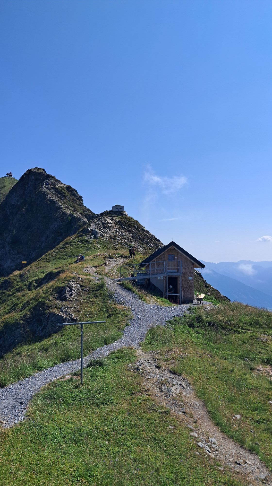
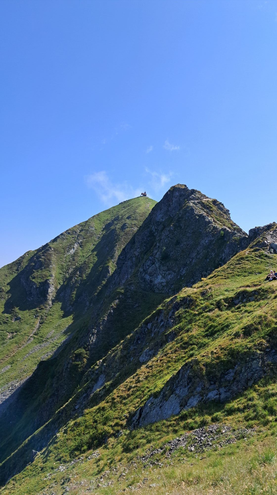
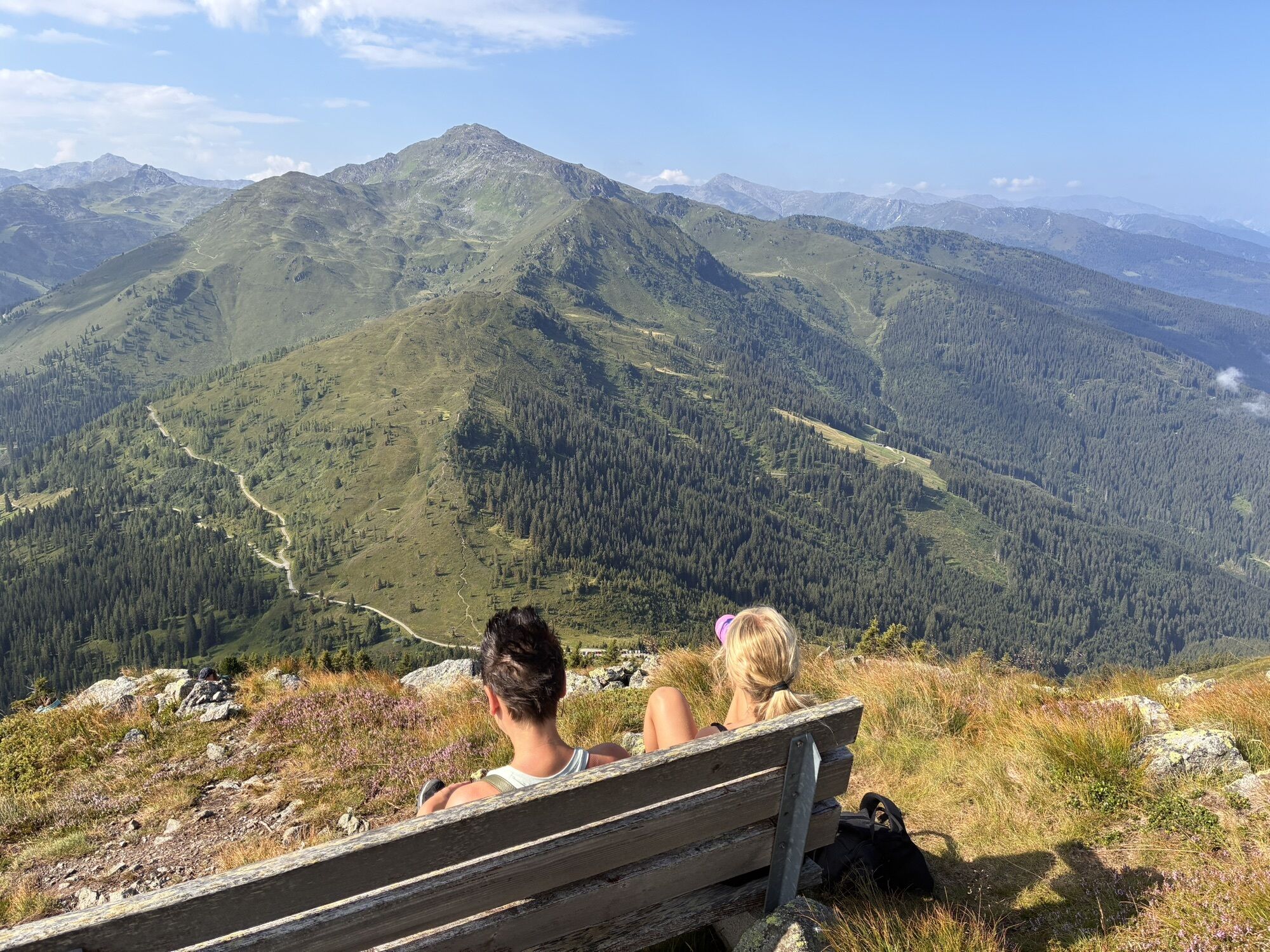
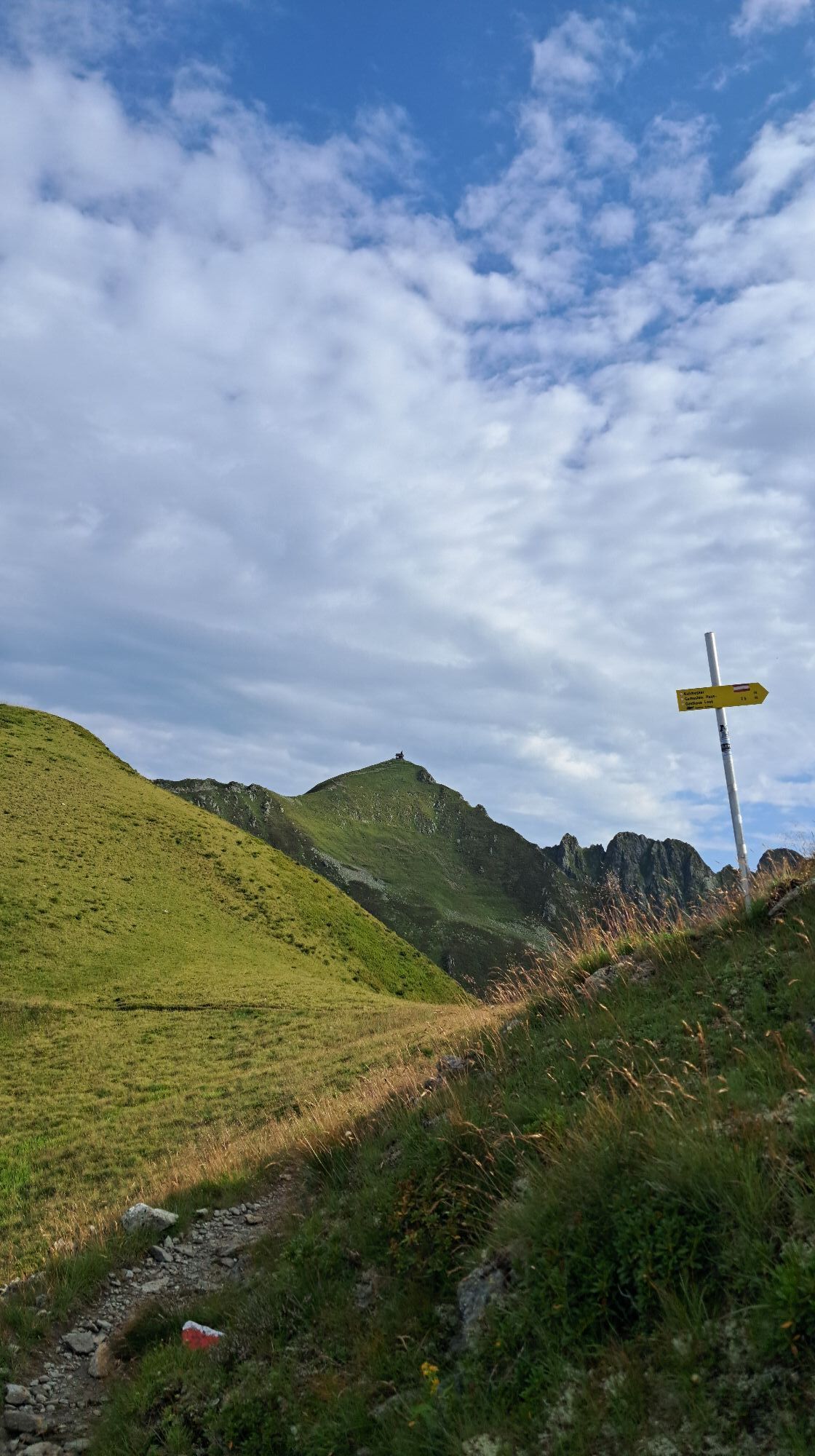
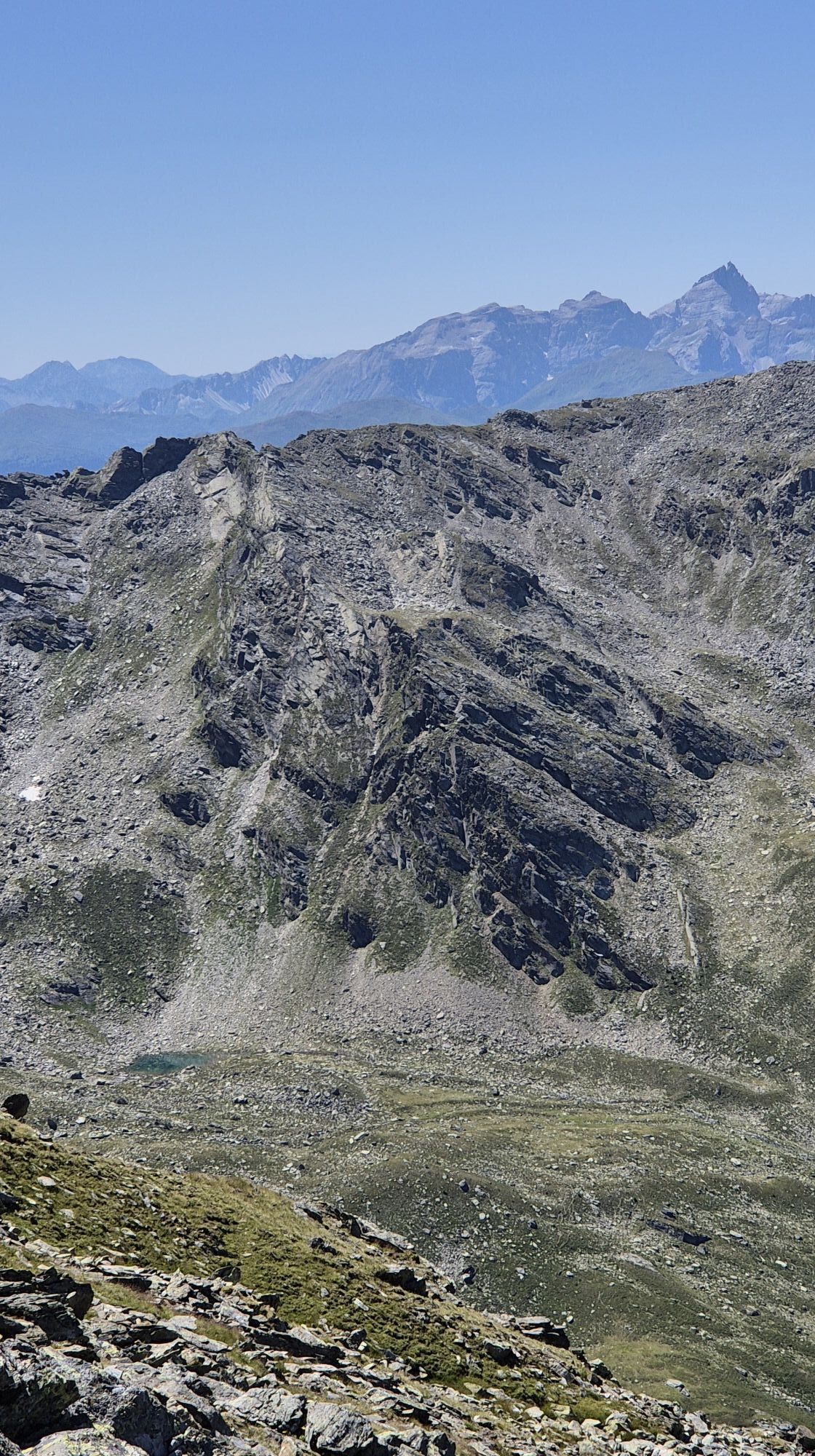
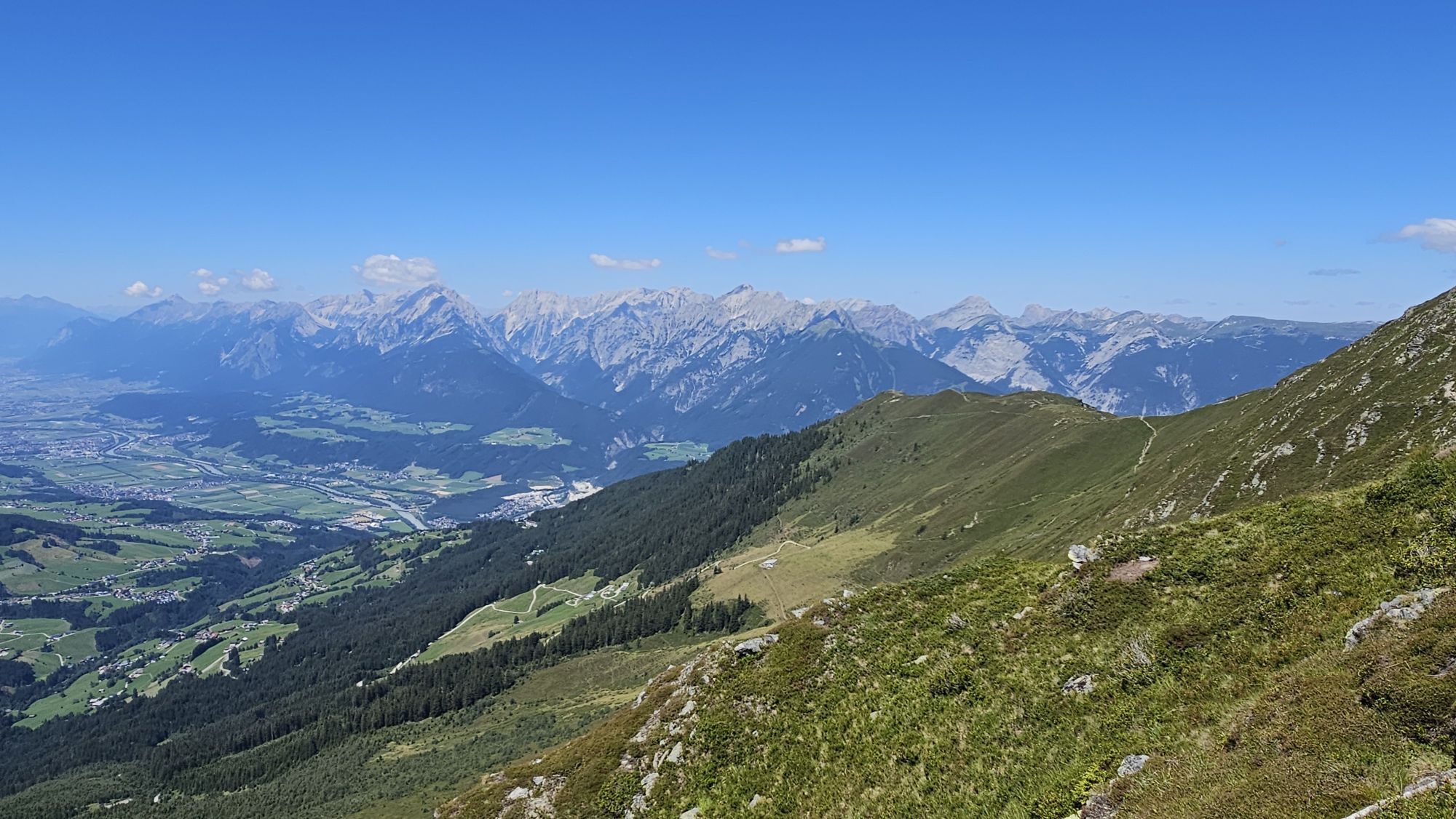
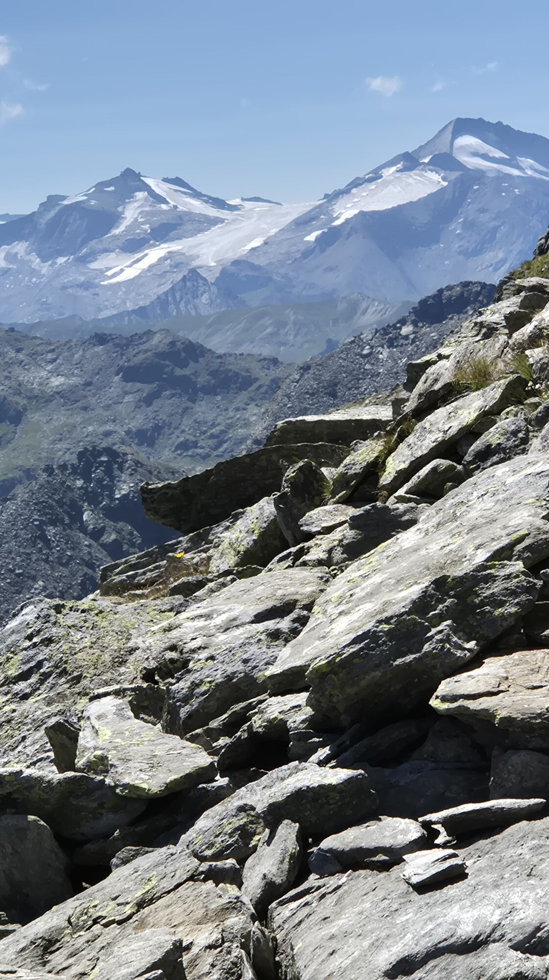
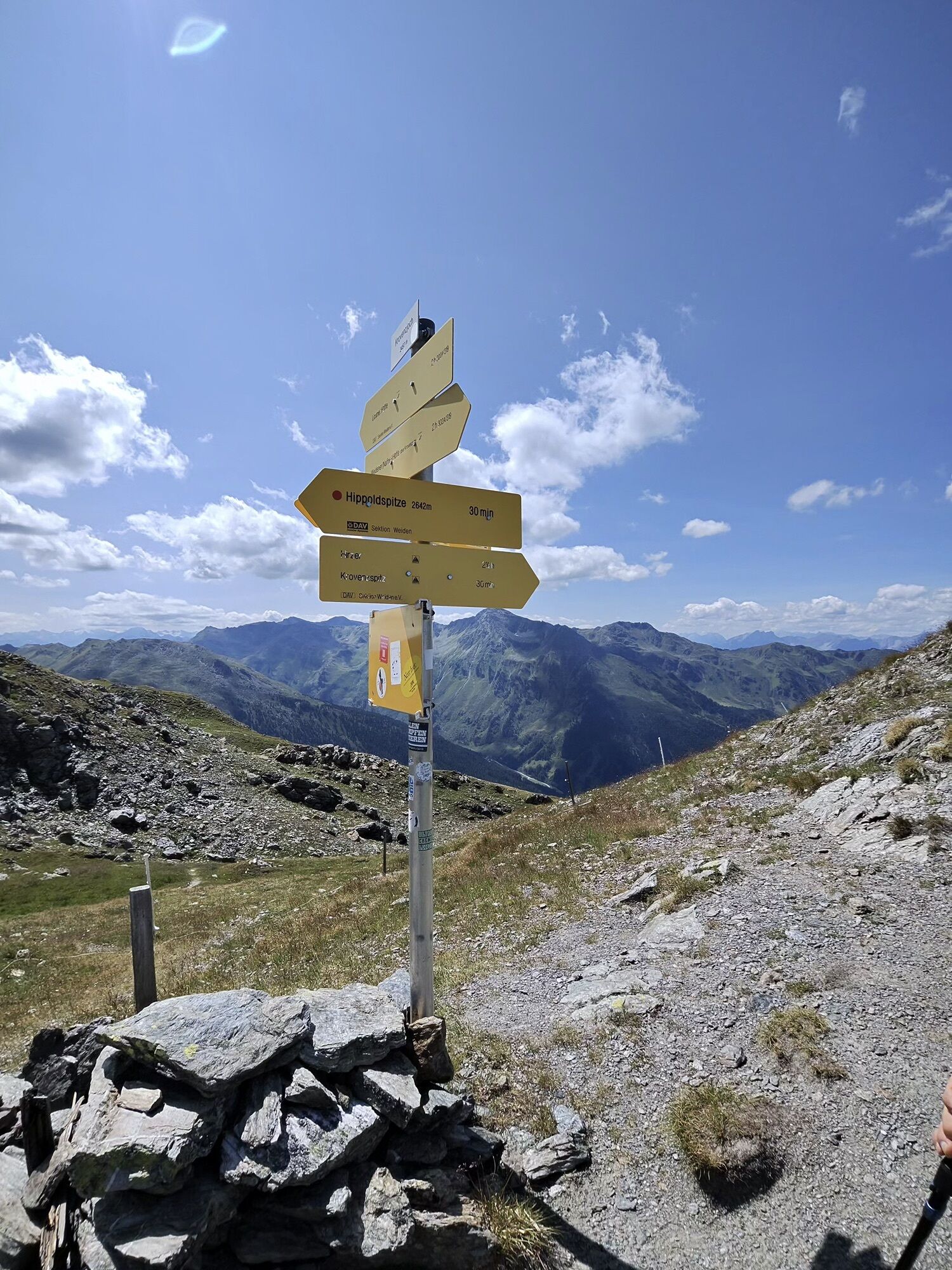
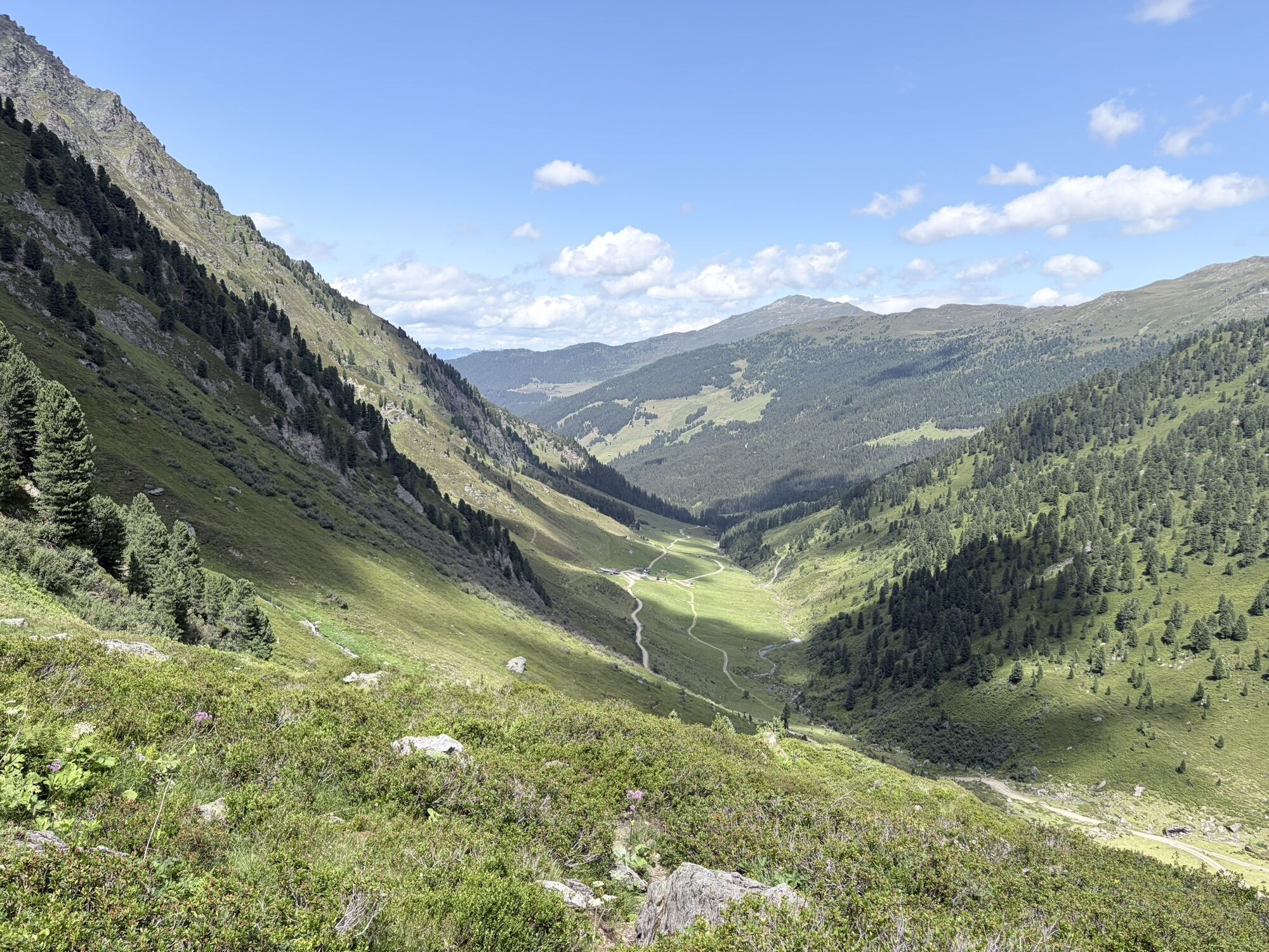
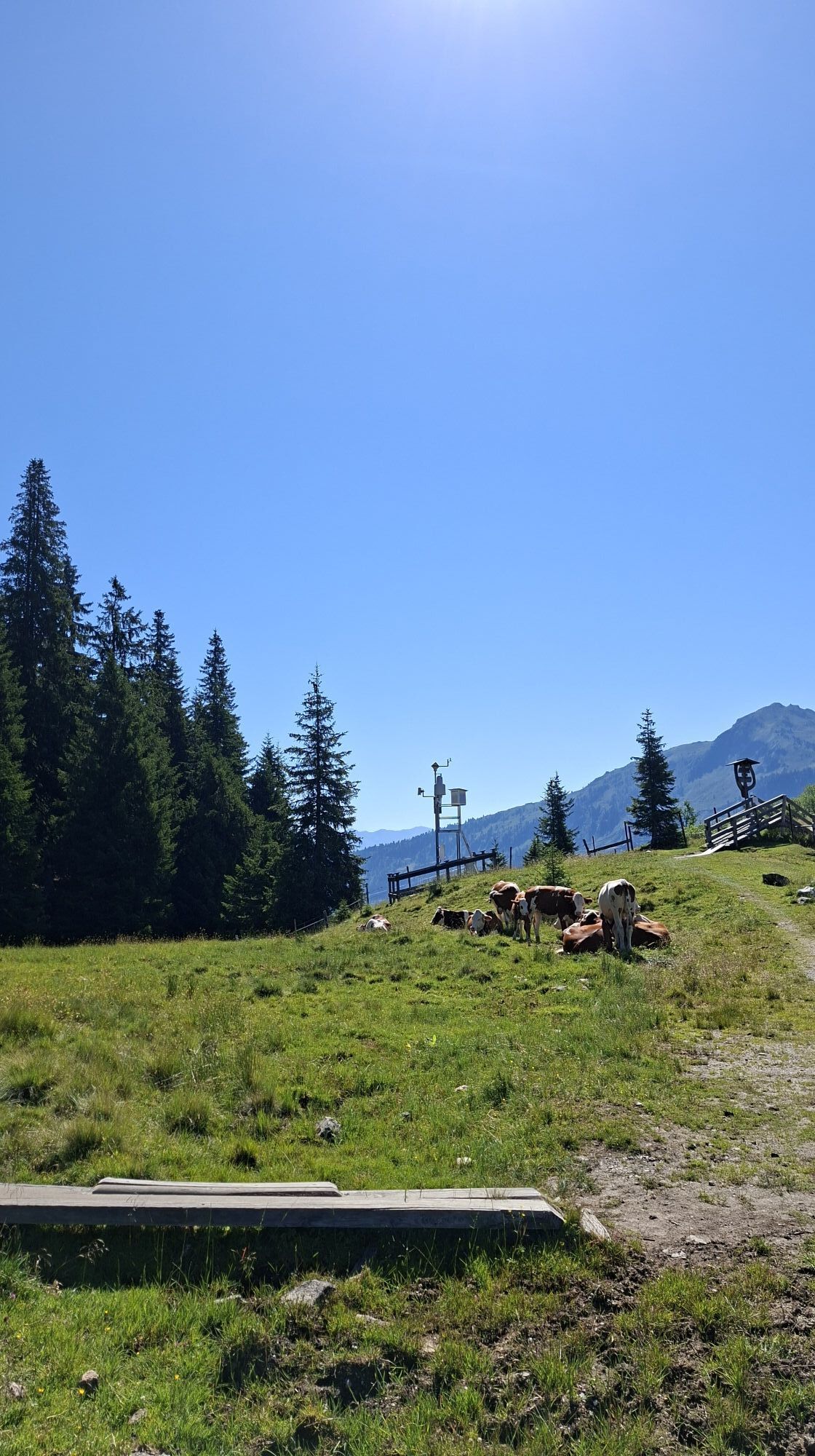
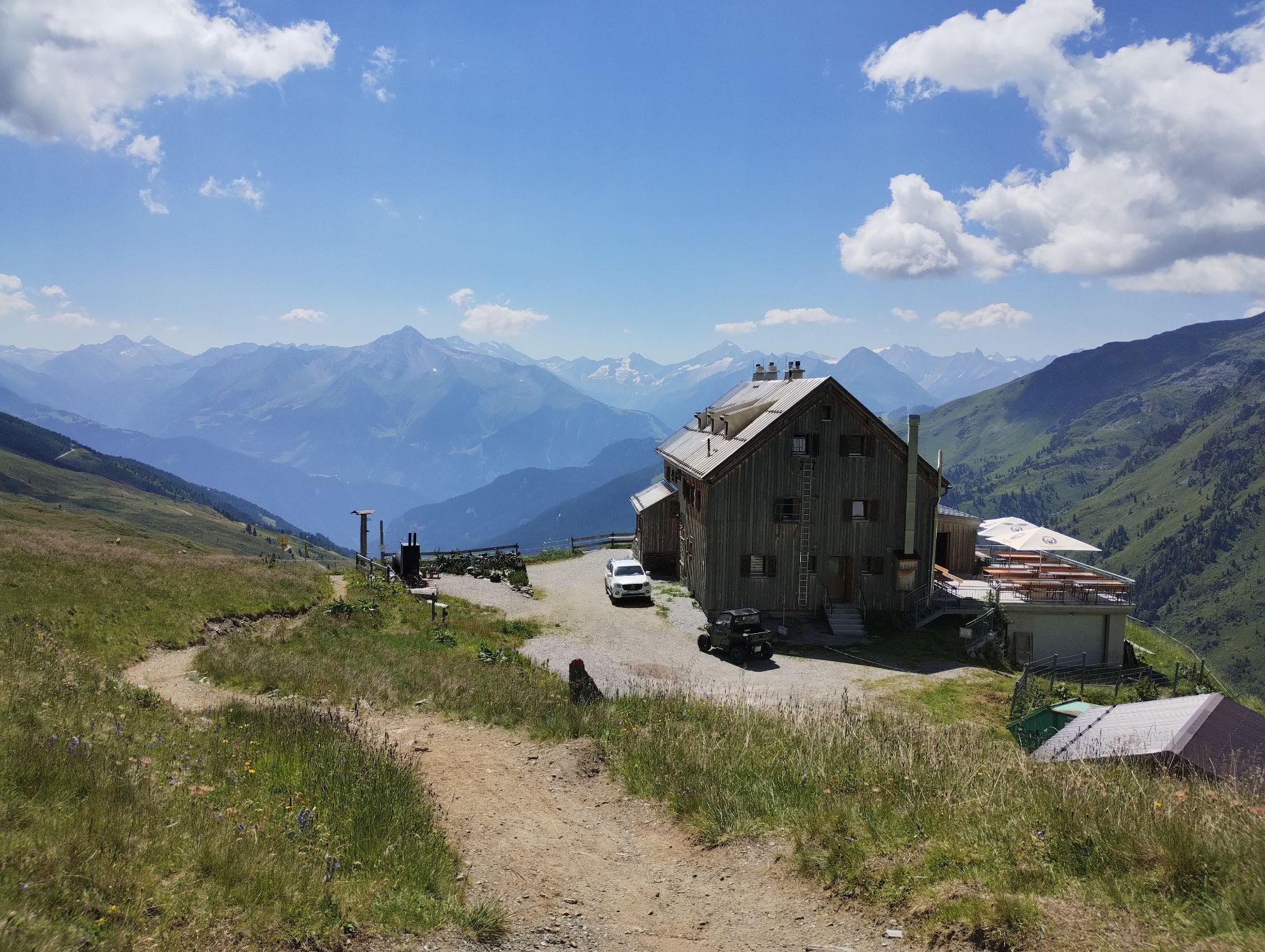
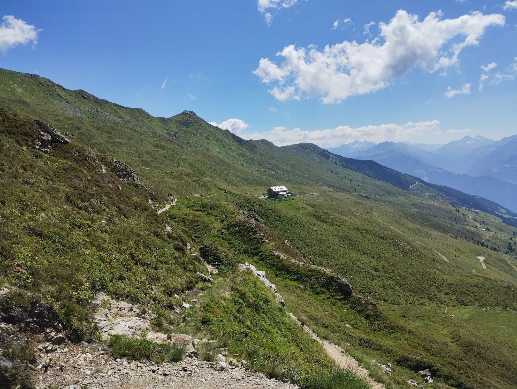
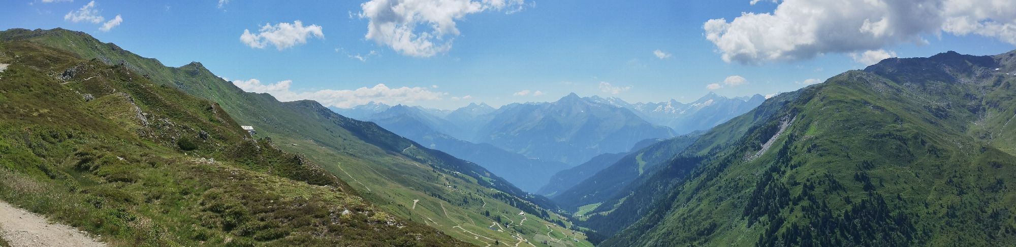
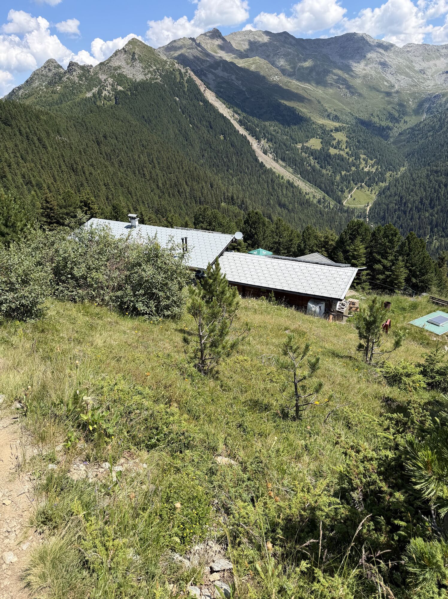
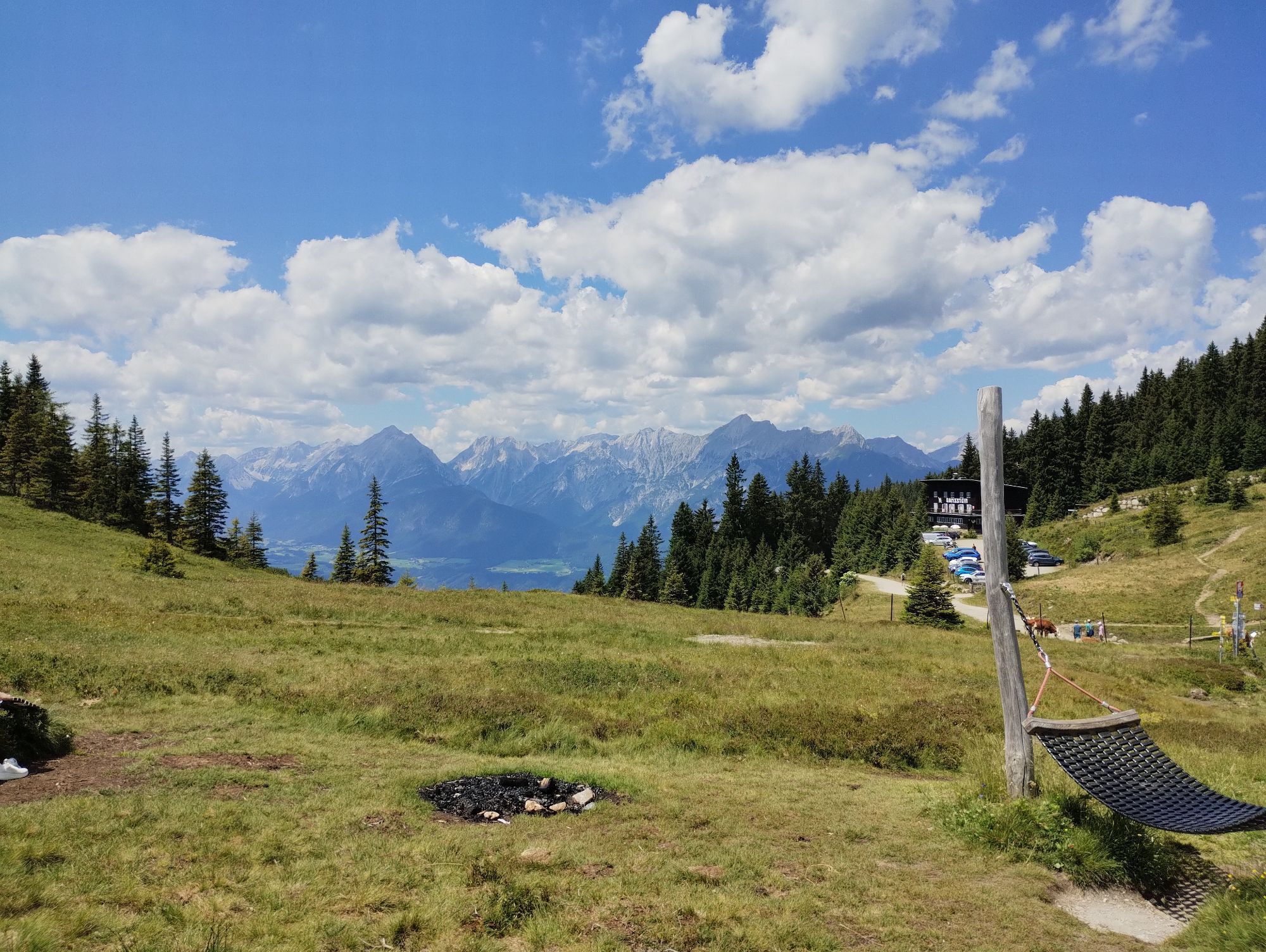
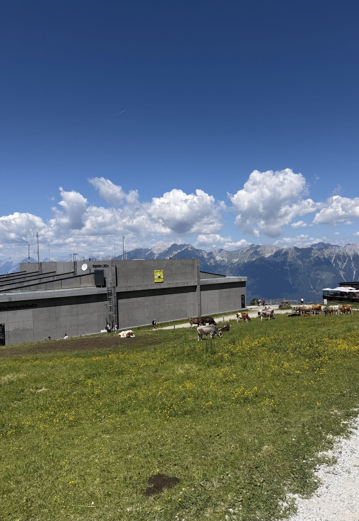
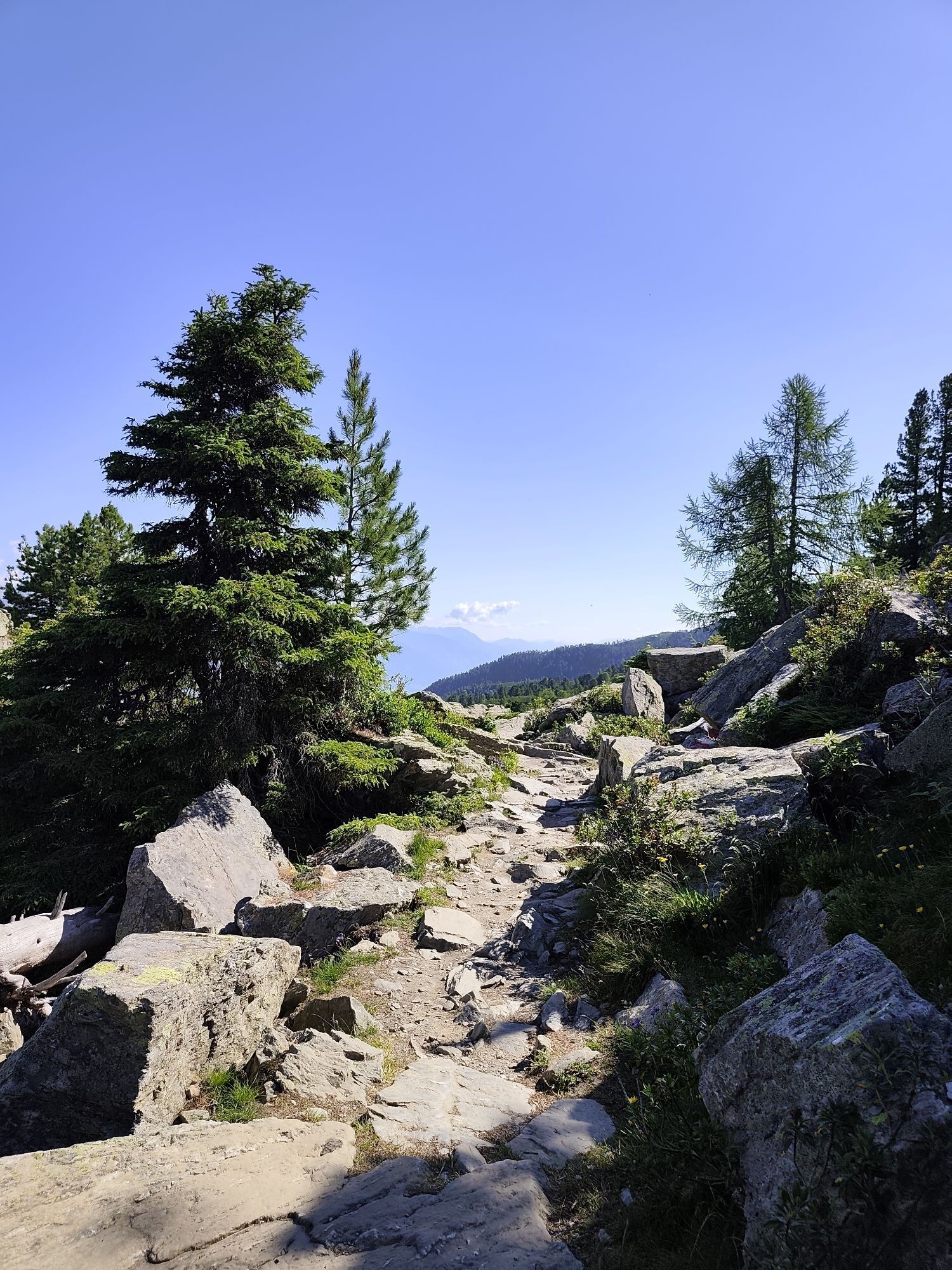
From Innsbruck/Igls, go over Patscherkofel along the Zirbenweg to the Glungezer Hut (2610 m), on the "Glungezer & Geier" ridge route over the "seven Tuxer summits" to the Lizumer Hut (2019 m). From here,...
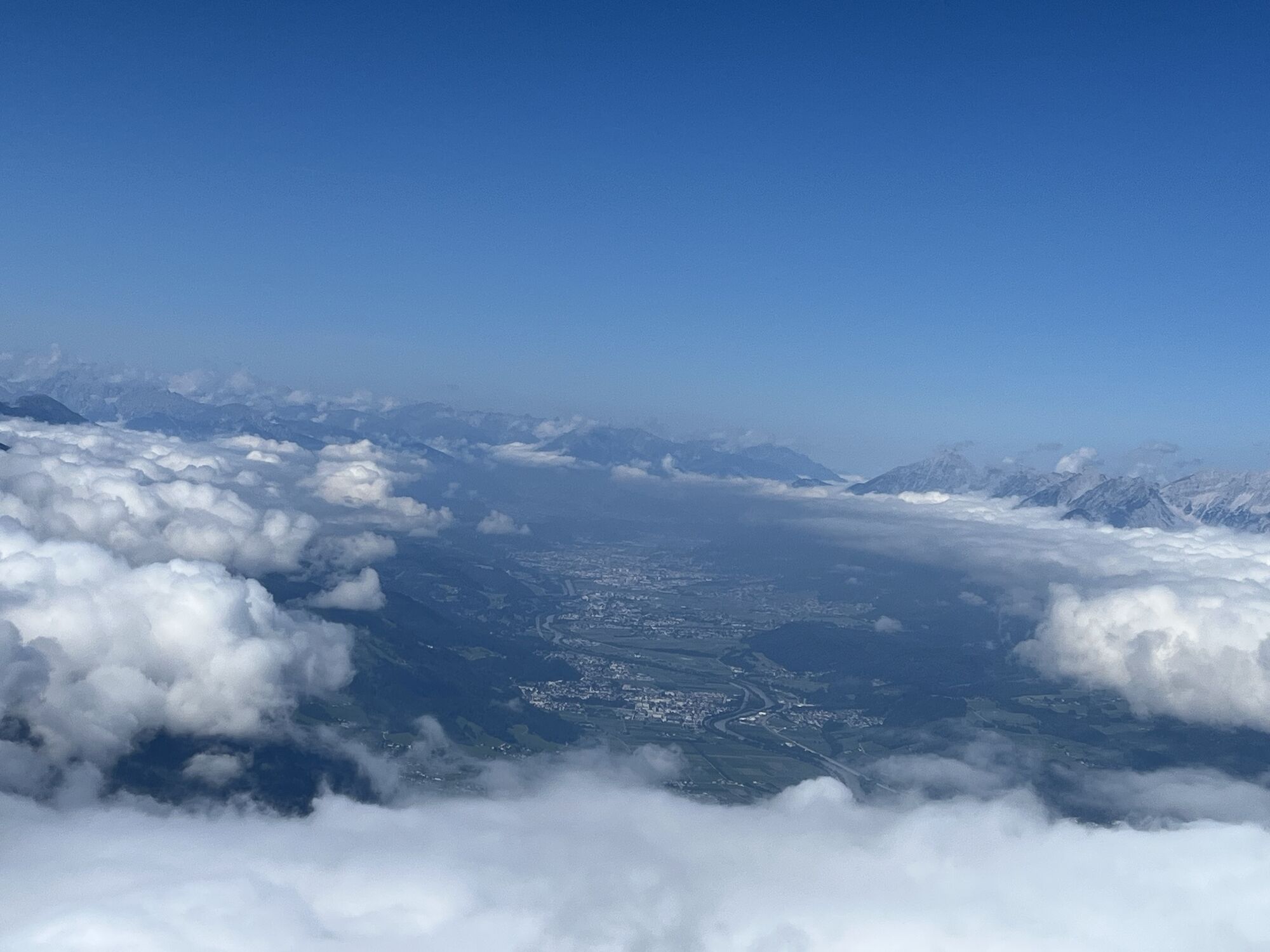
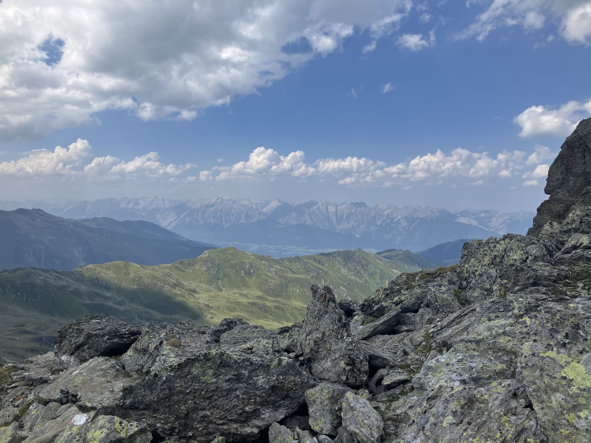
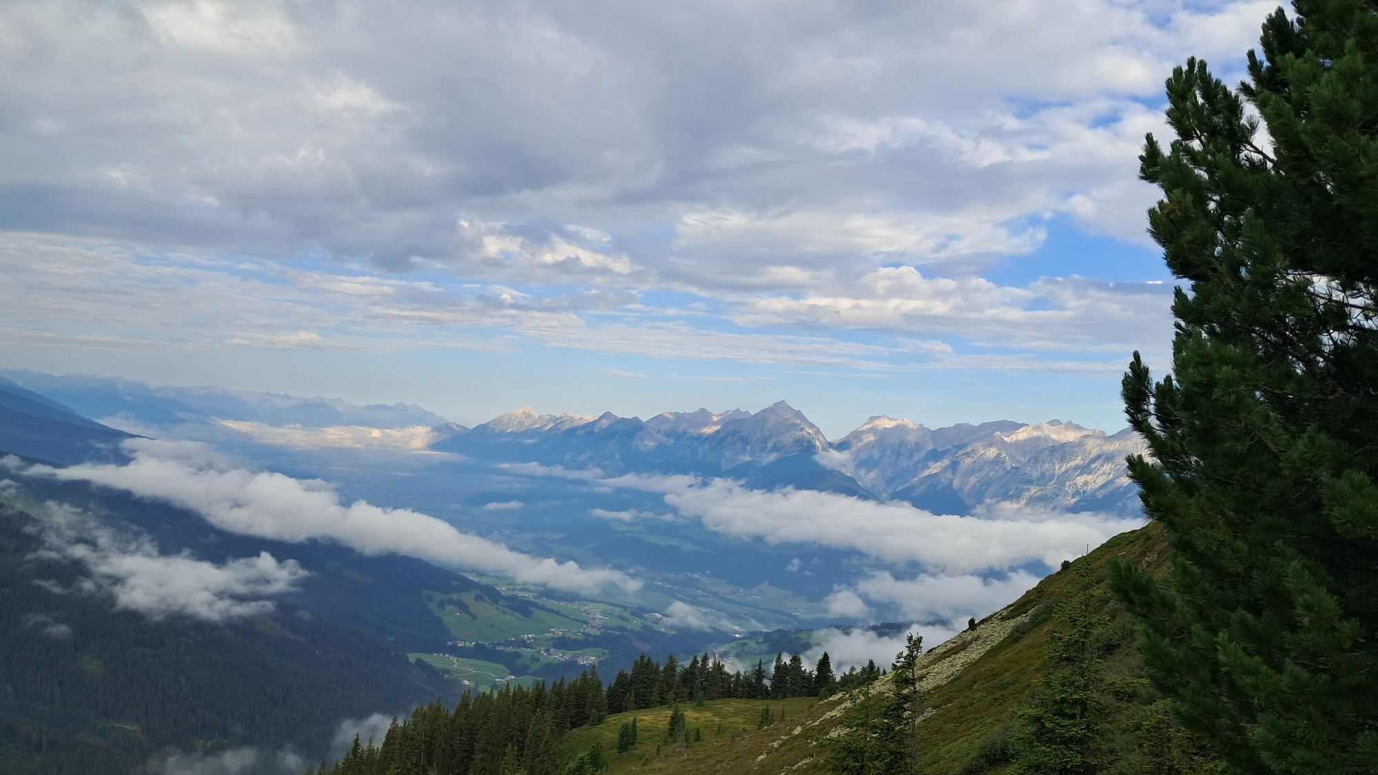
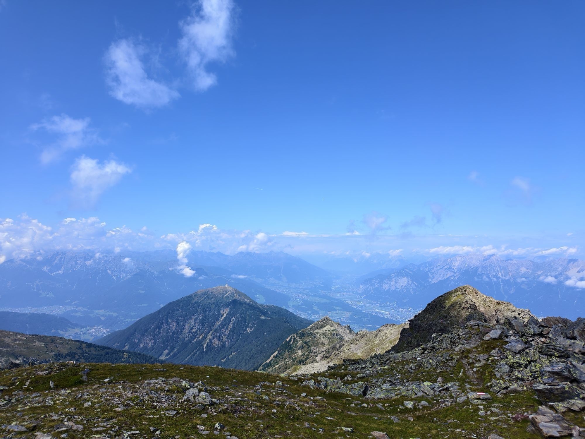
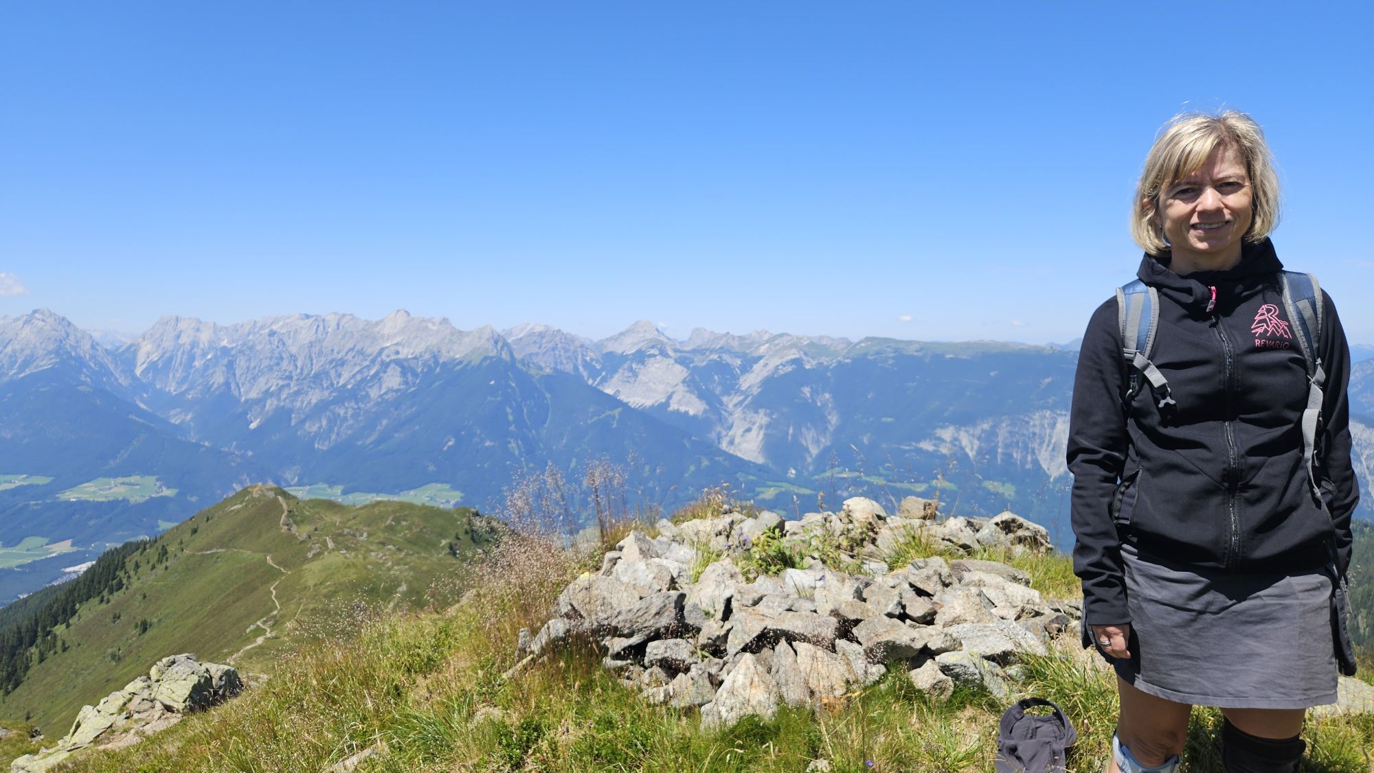
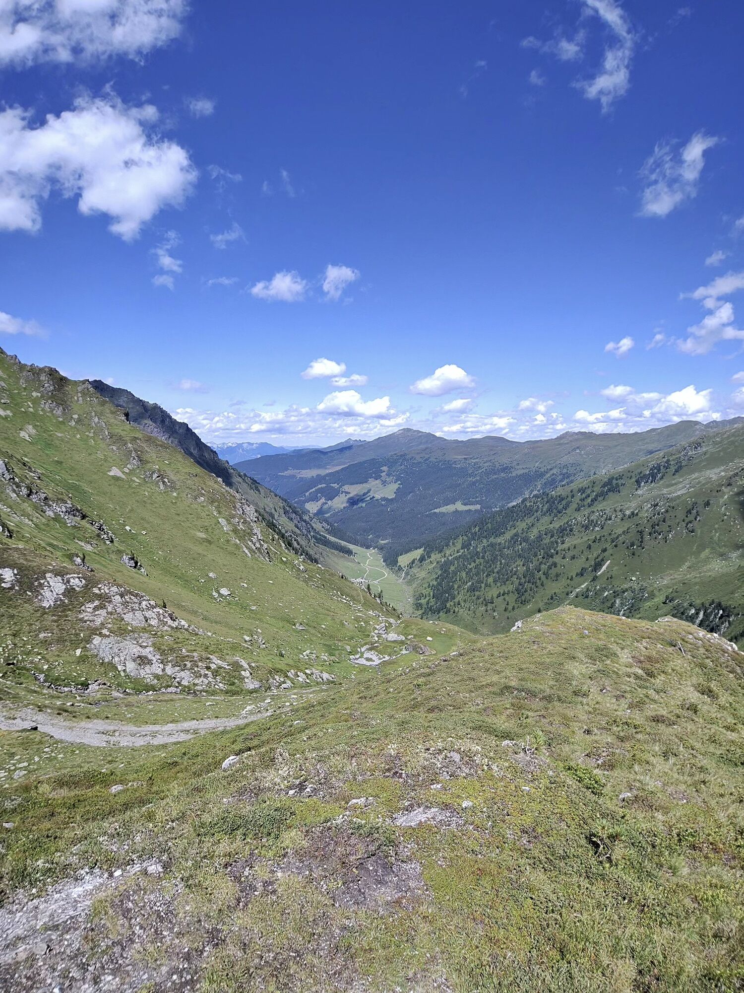
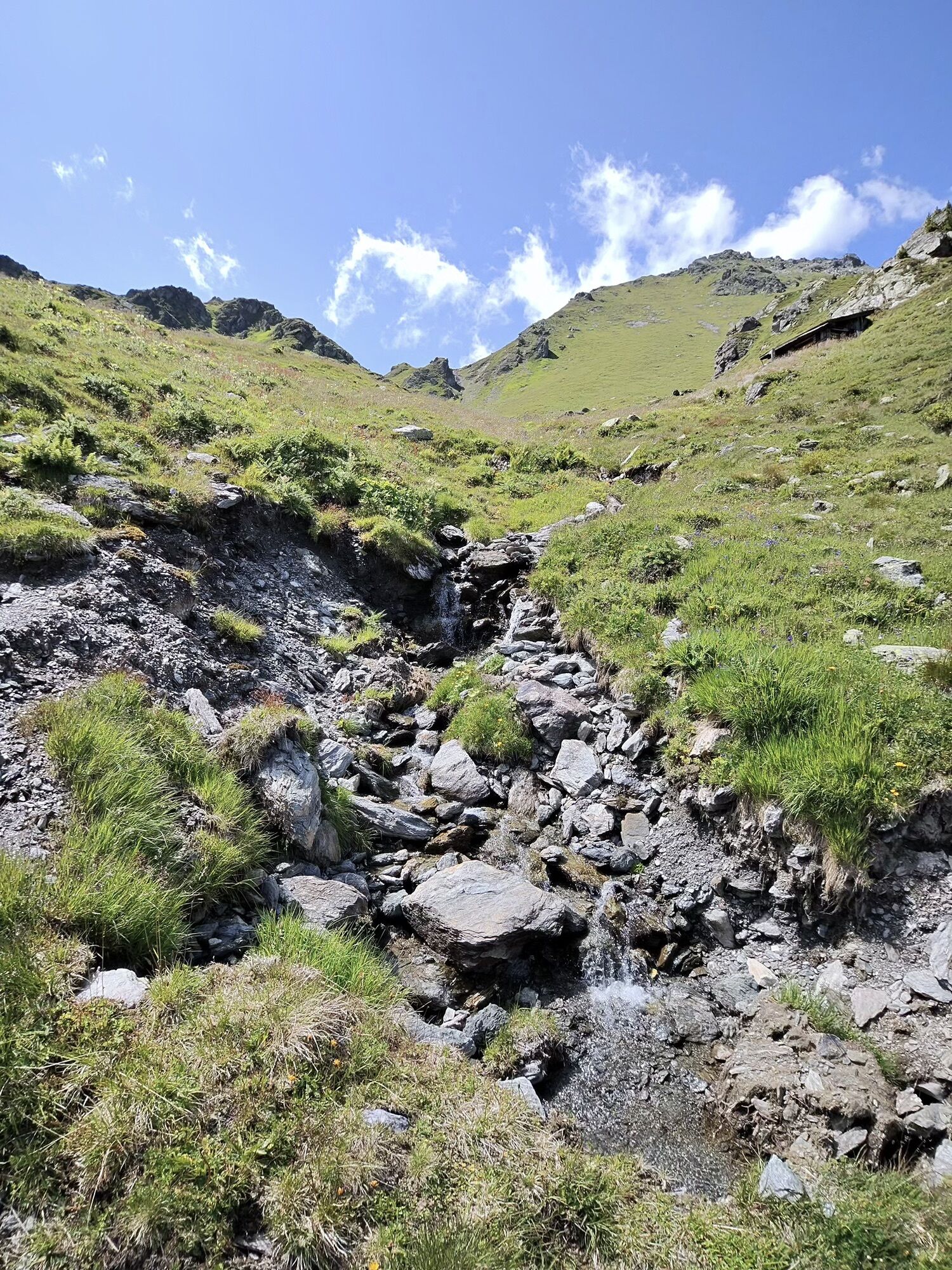
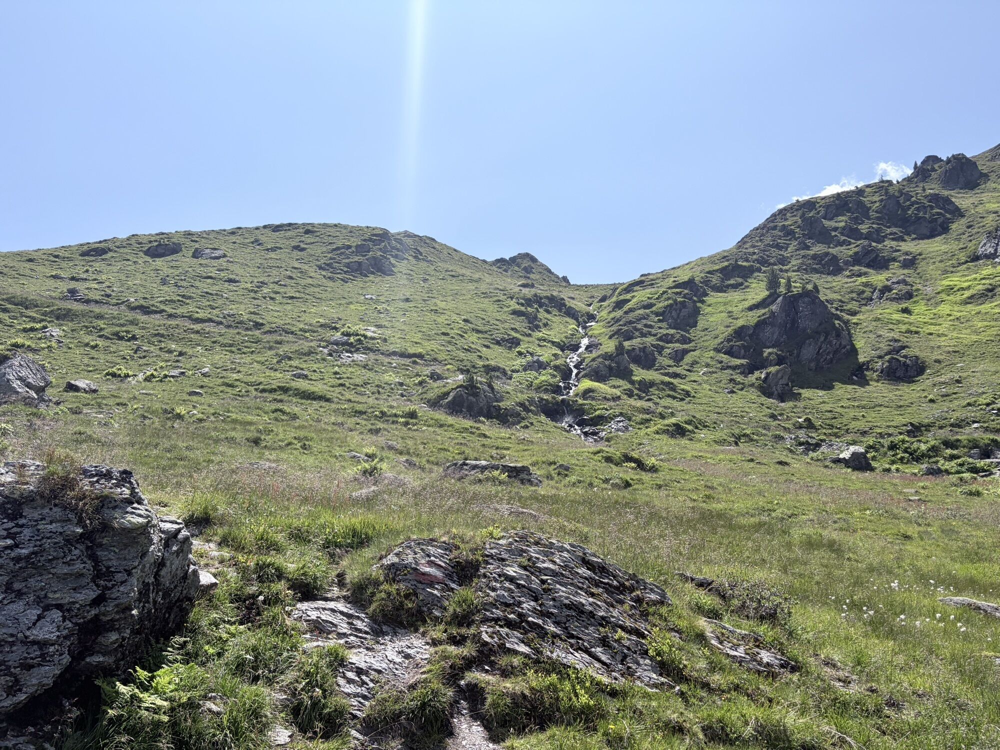
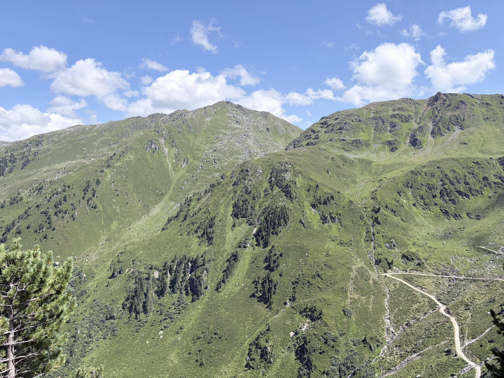
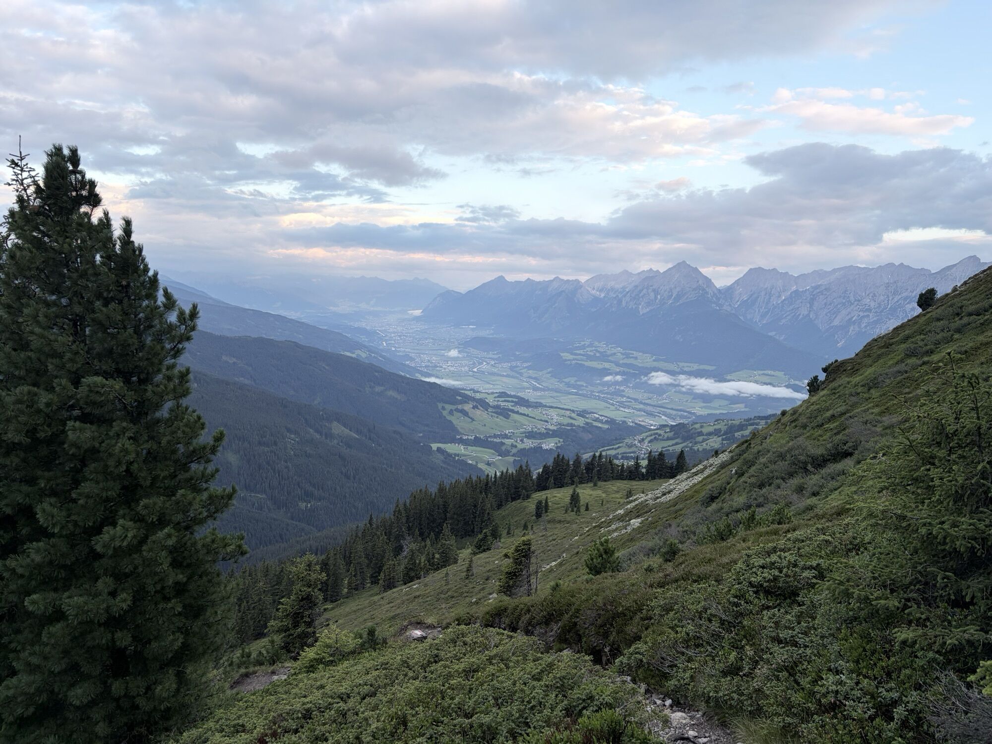
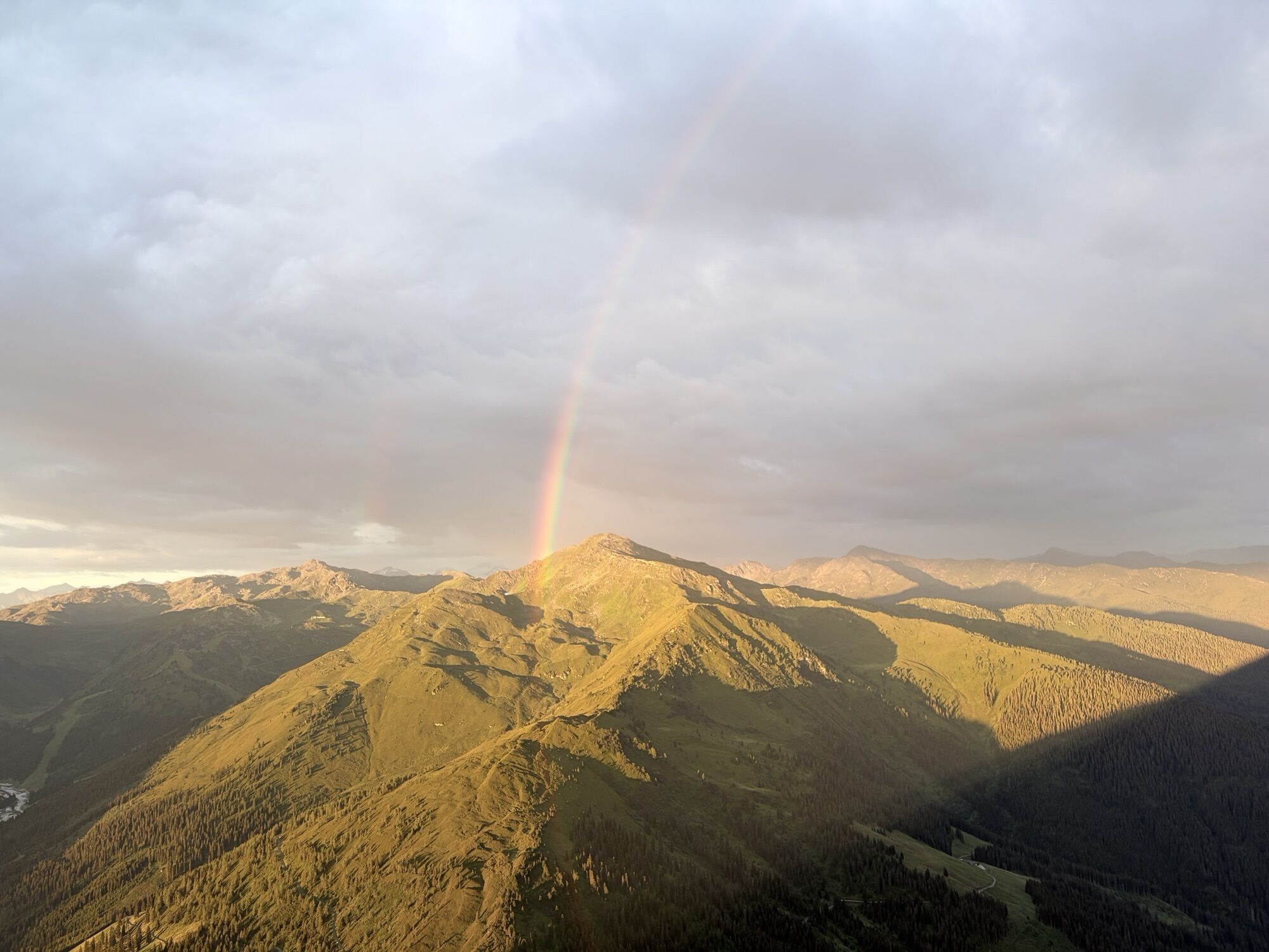
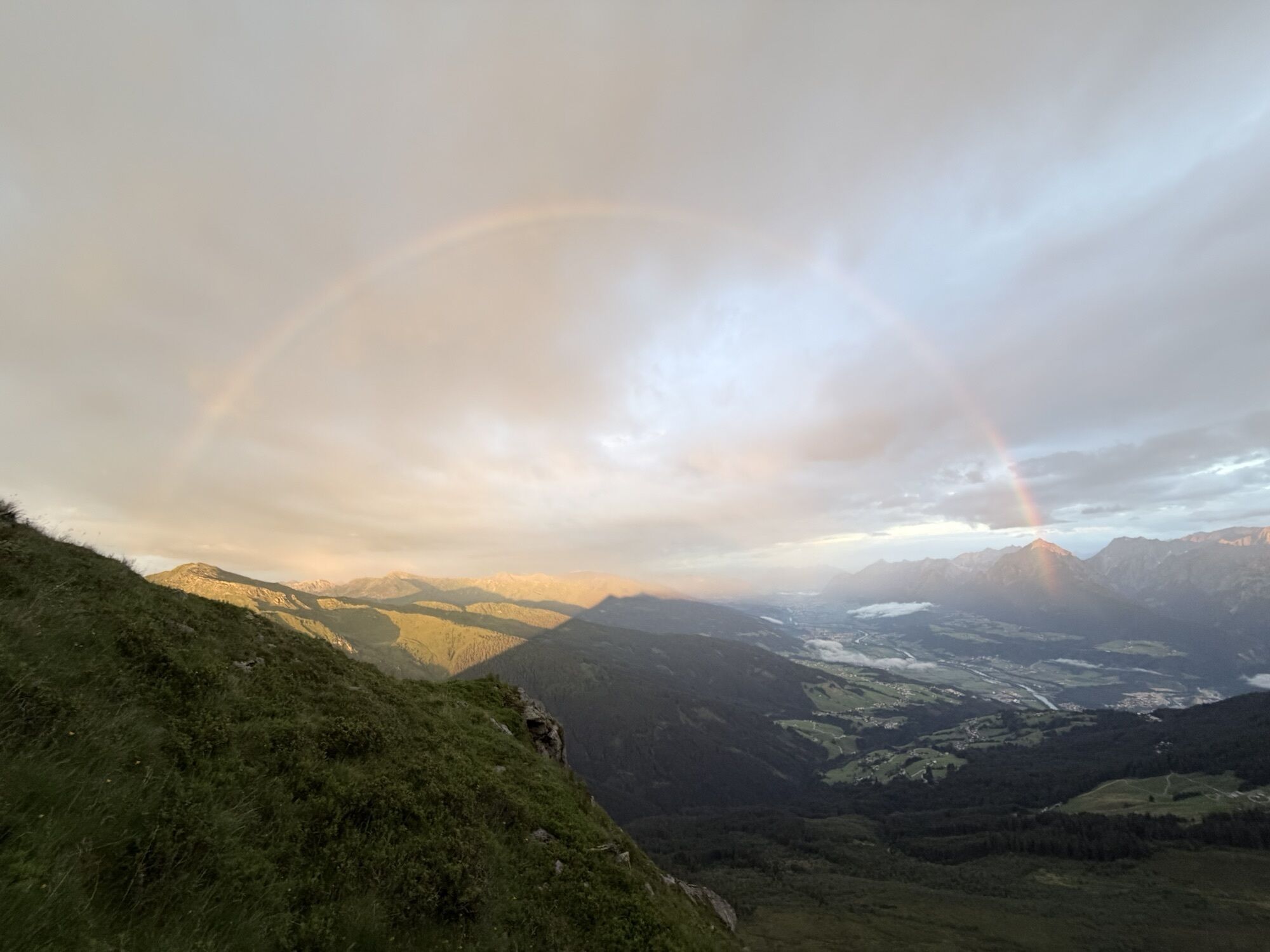
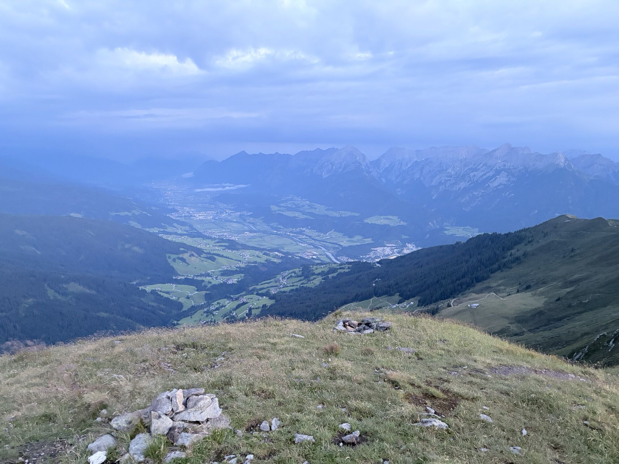
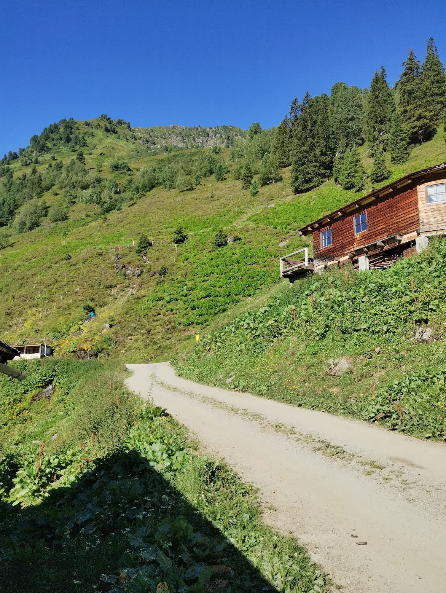
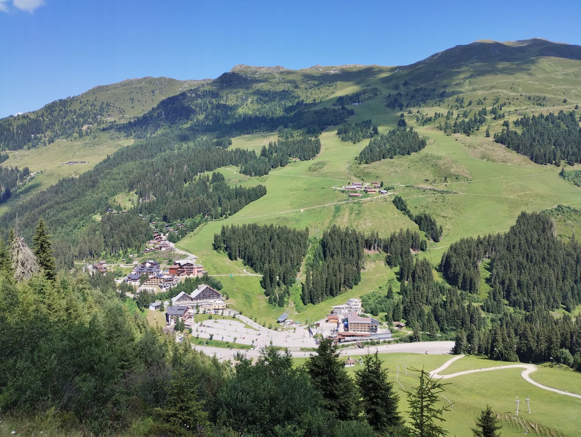
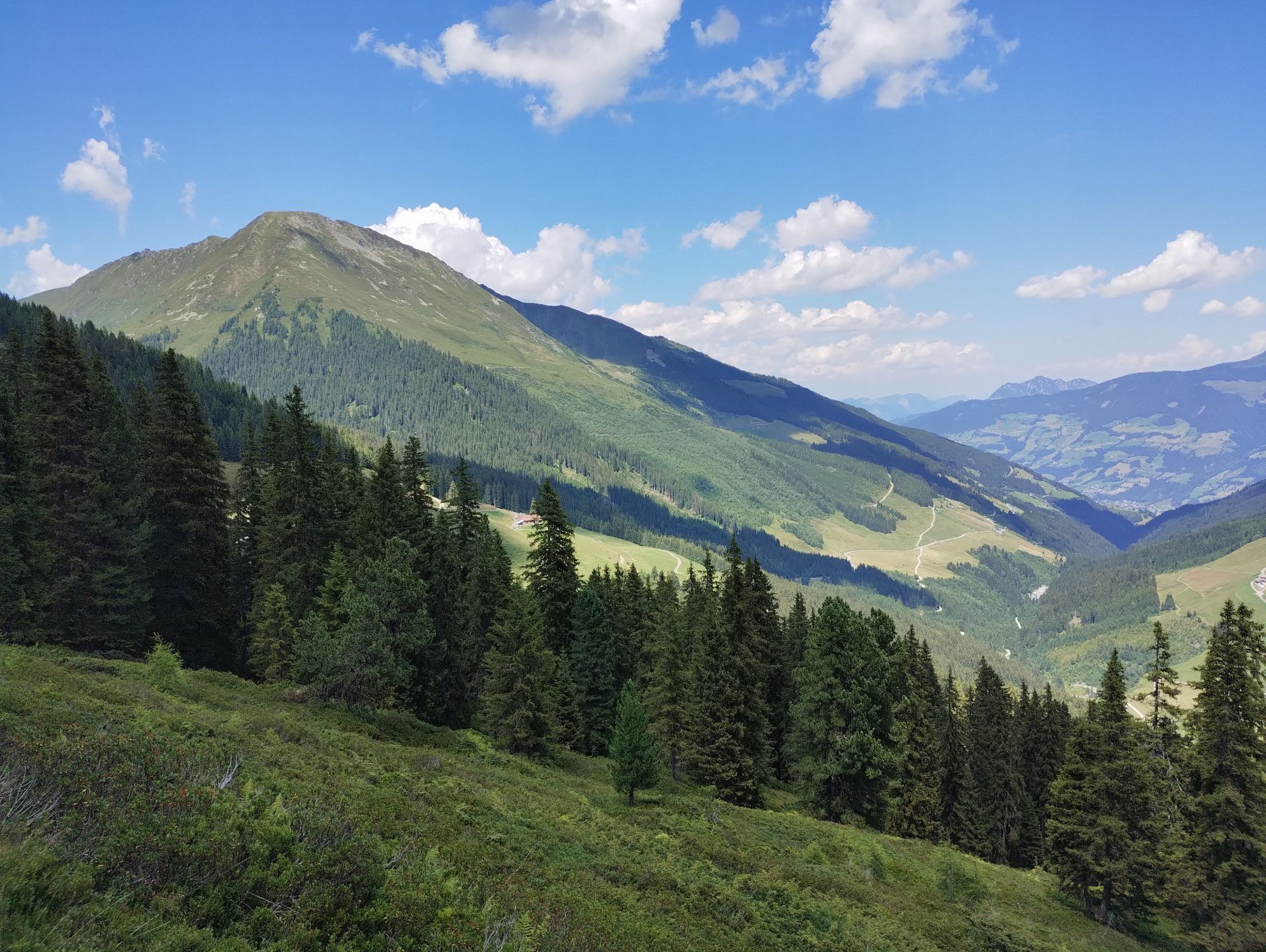
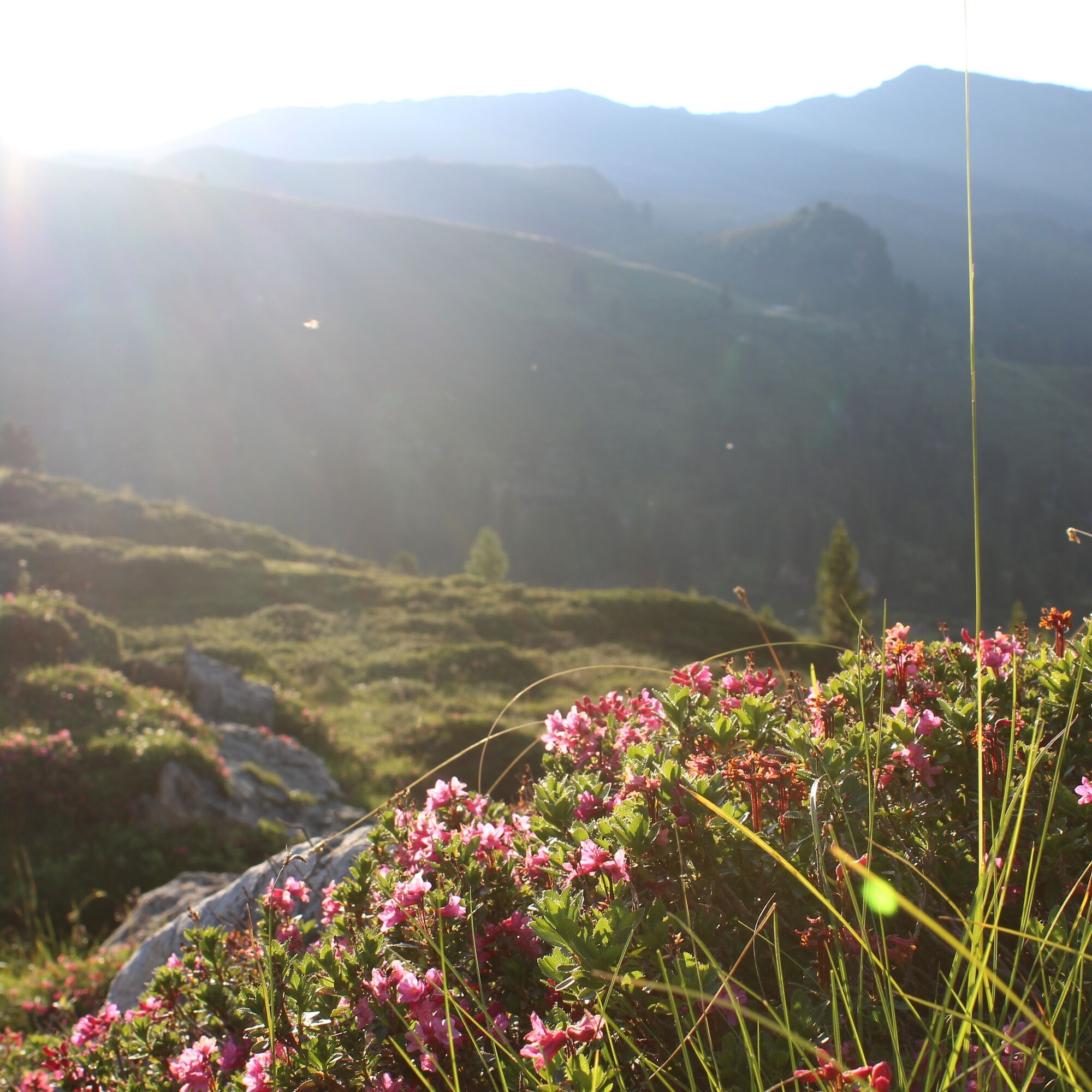
From Innsbruck/Igls, go over Patscherkofel along the Zirbenweg to the Glungezer Hut (2610 m), on the "Glungezer & Geier" ridge route over the "seven Tuxer summits" to the Lizumer Hut (2019 m). From here, the "Inntaler" follows the Central Alpine Trail 02A across the Grafennsjoch to the Weidener Hut, from there over the Nurpensjoch to the Rastkogel Hut (2117 m), then to Hochfügen and over the Loassattel to the Kellerjoch Hut, with descent to Schwaz. The "Inntaler" passes through the Patscherkofel - Zirmberg - Viggartal landscape protection area, above the Blue Lakes, touching Voldertal, Navistal, Wattental, Nafing and Nurpen Valley, Sidantal and Finsinggrund. Patscherkofel and the ridge continuing east to Glungezer offer beautiful views over the Inn Valley to the Nordkette and Karwendel, to the south into the Central Alps. In the middle section of the route, between Naviser Jöchl and Grafennsjoch, there are magnificent views of the "Zillertal Alps." From Kellerjoch, the view extends towards Innsbruck, Zillertal, and Karwendel. Wonderful flora and fauna accompany the entire route.
6-day route - 6 Tuxer huts - 16 Tuxer peaks - 8 passes

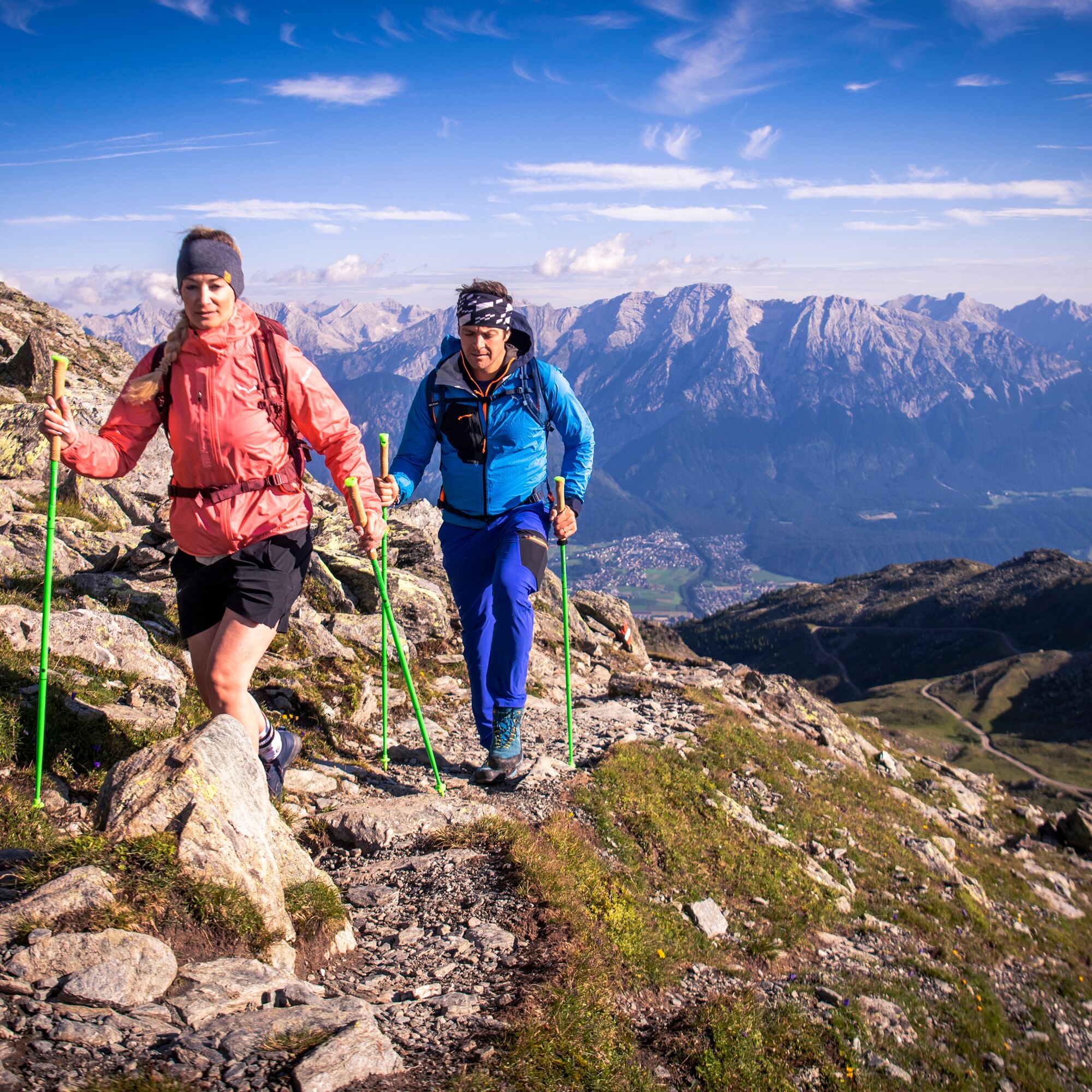
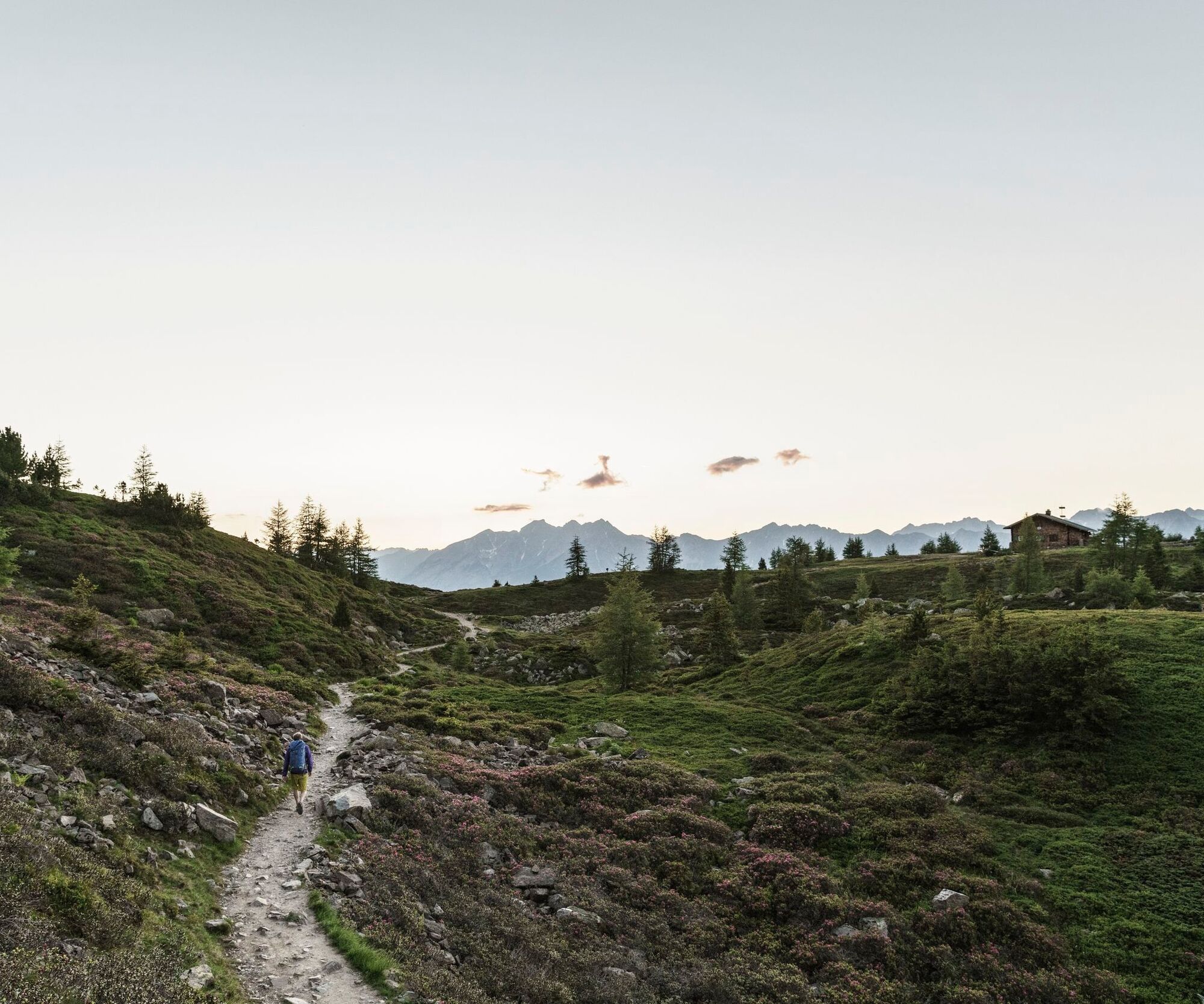


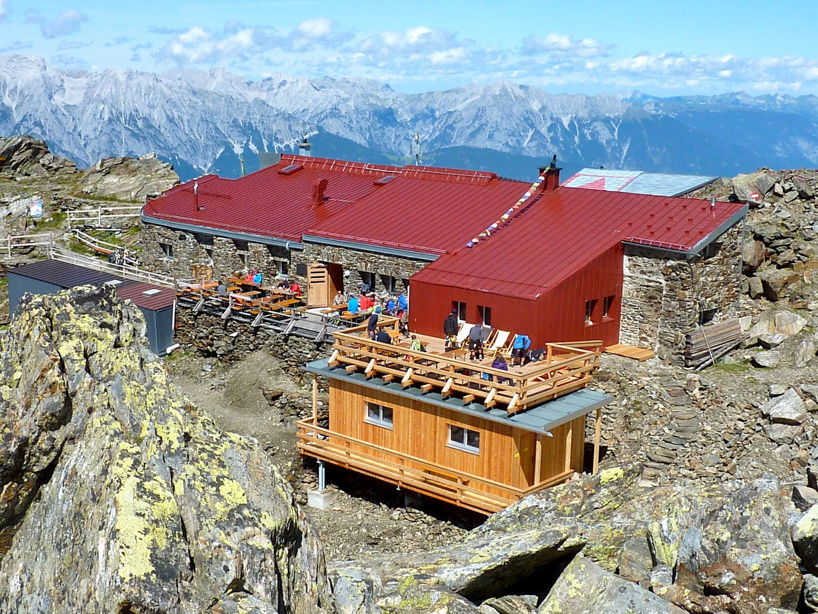
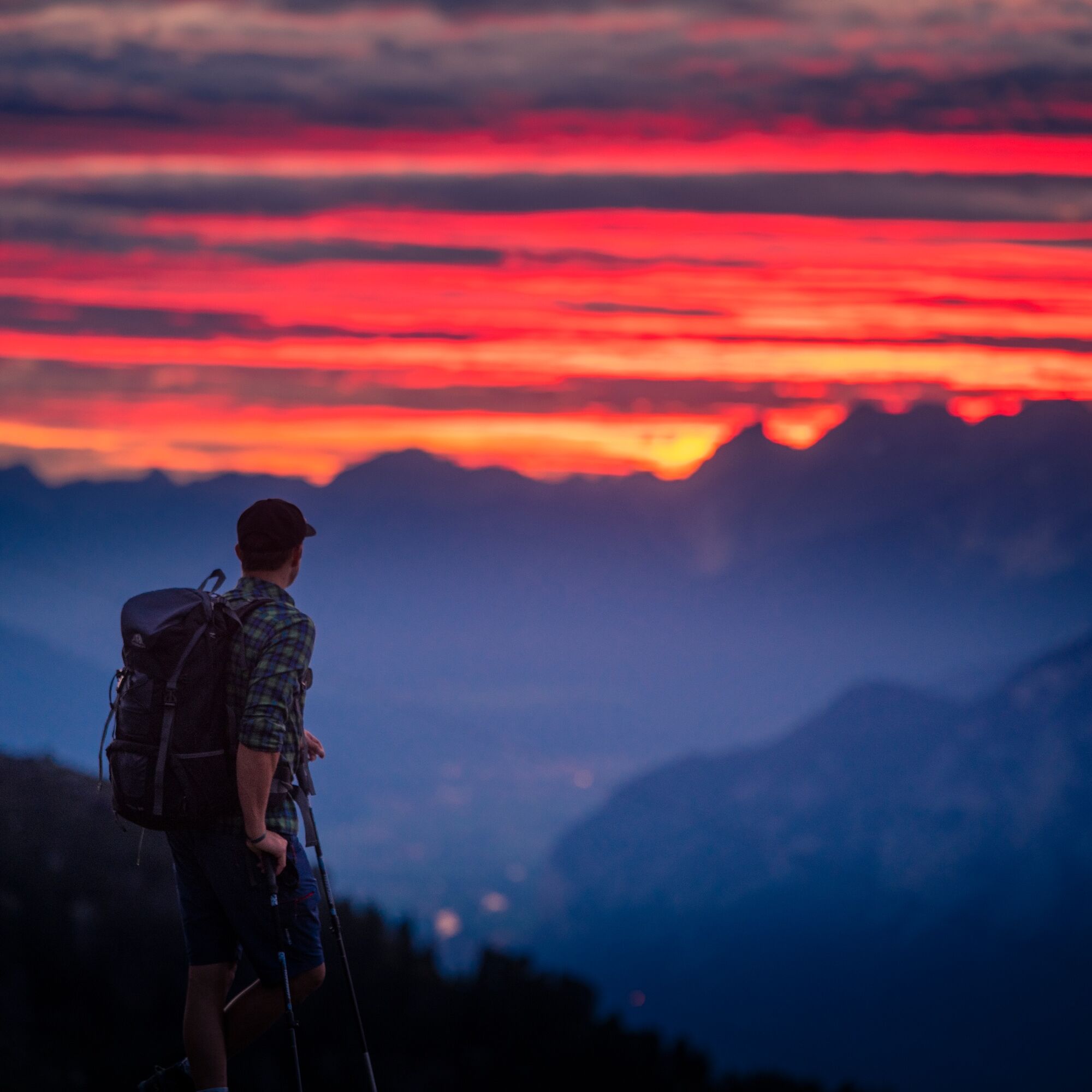



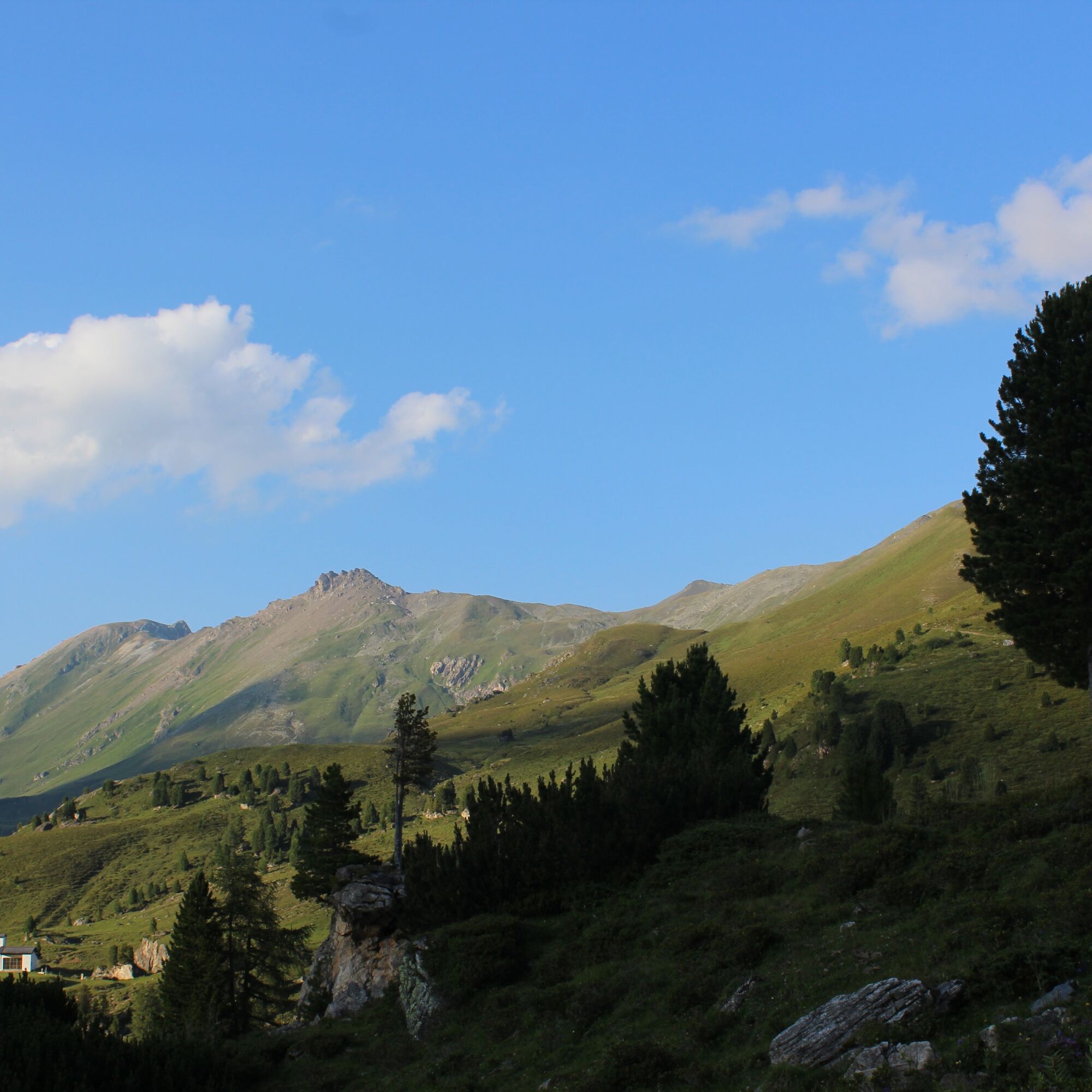
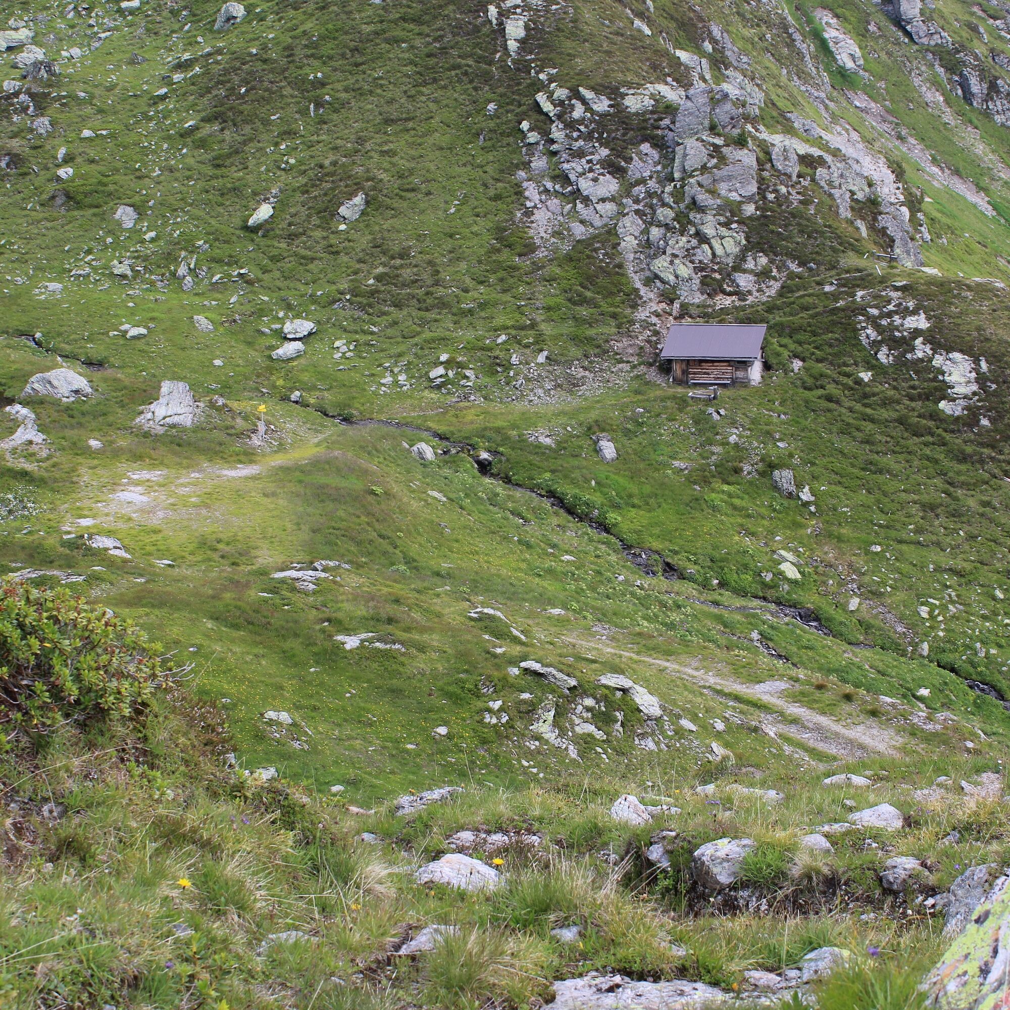
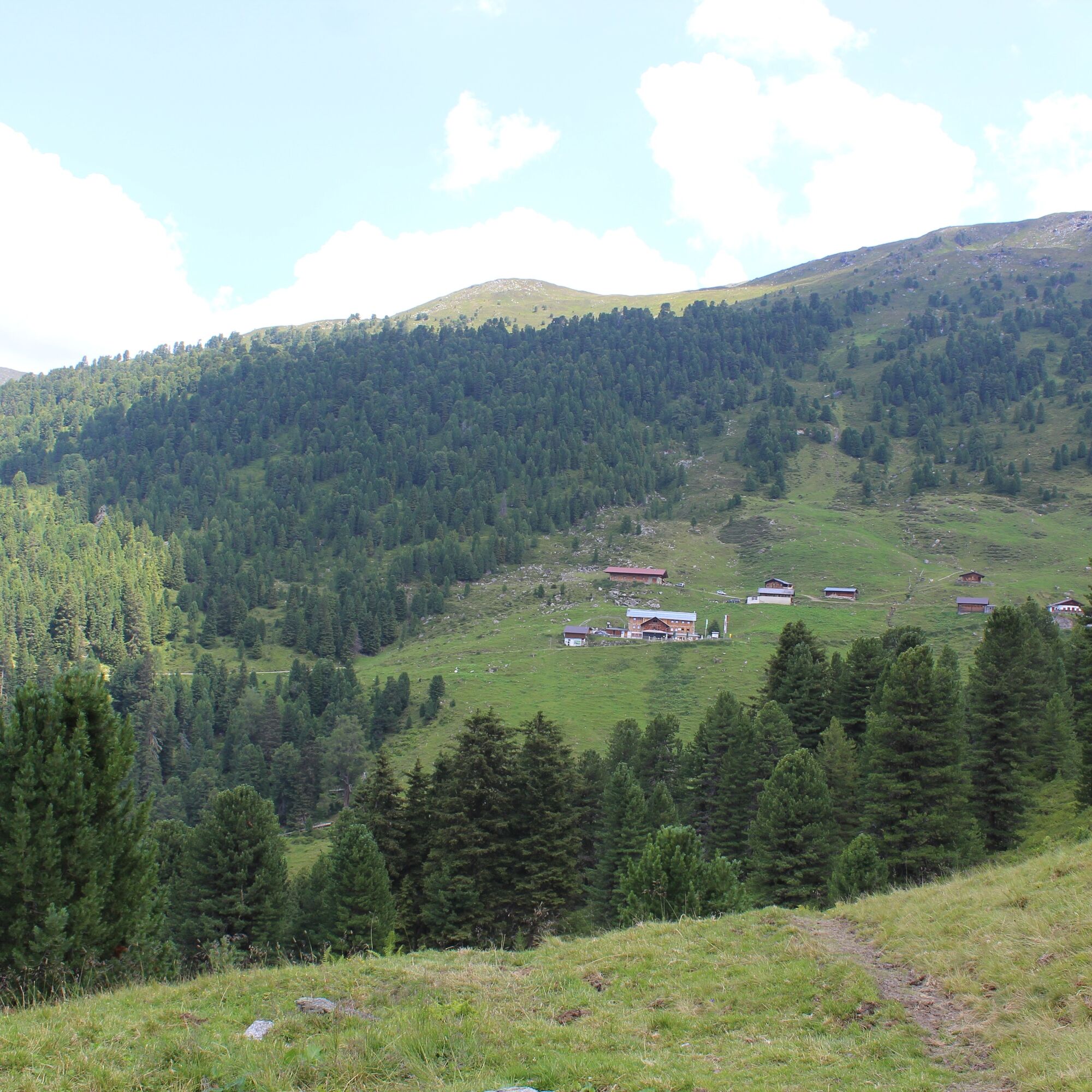

Stage 1
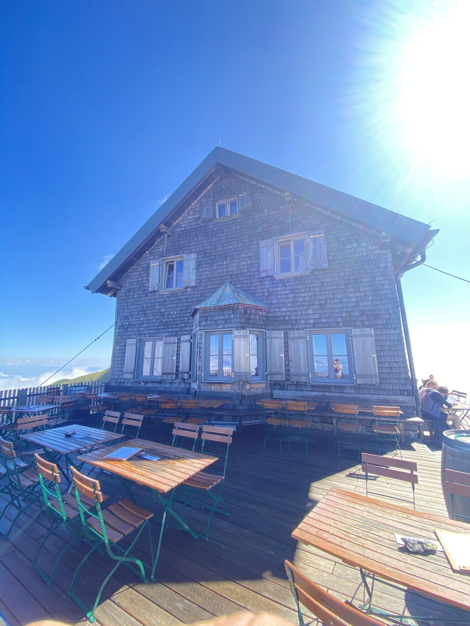
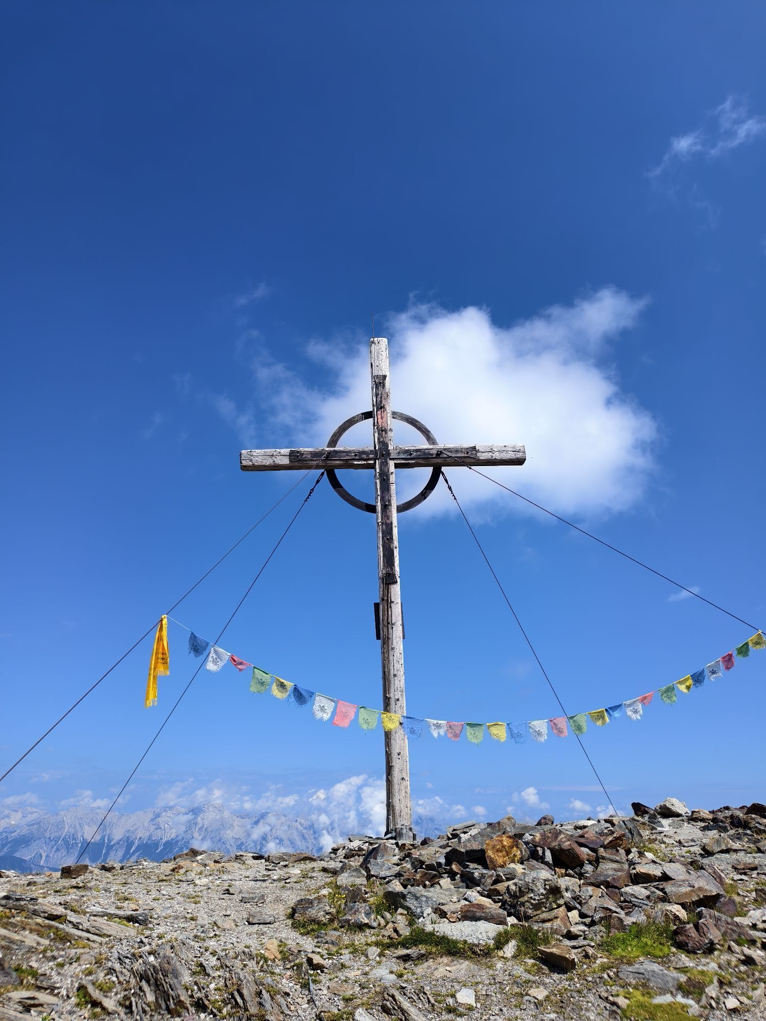
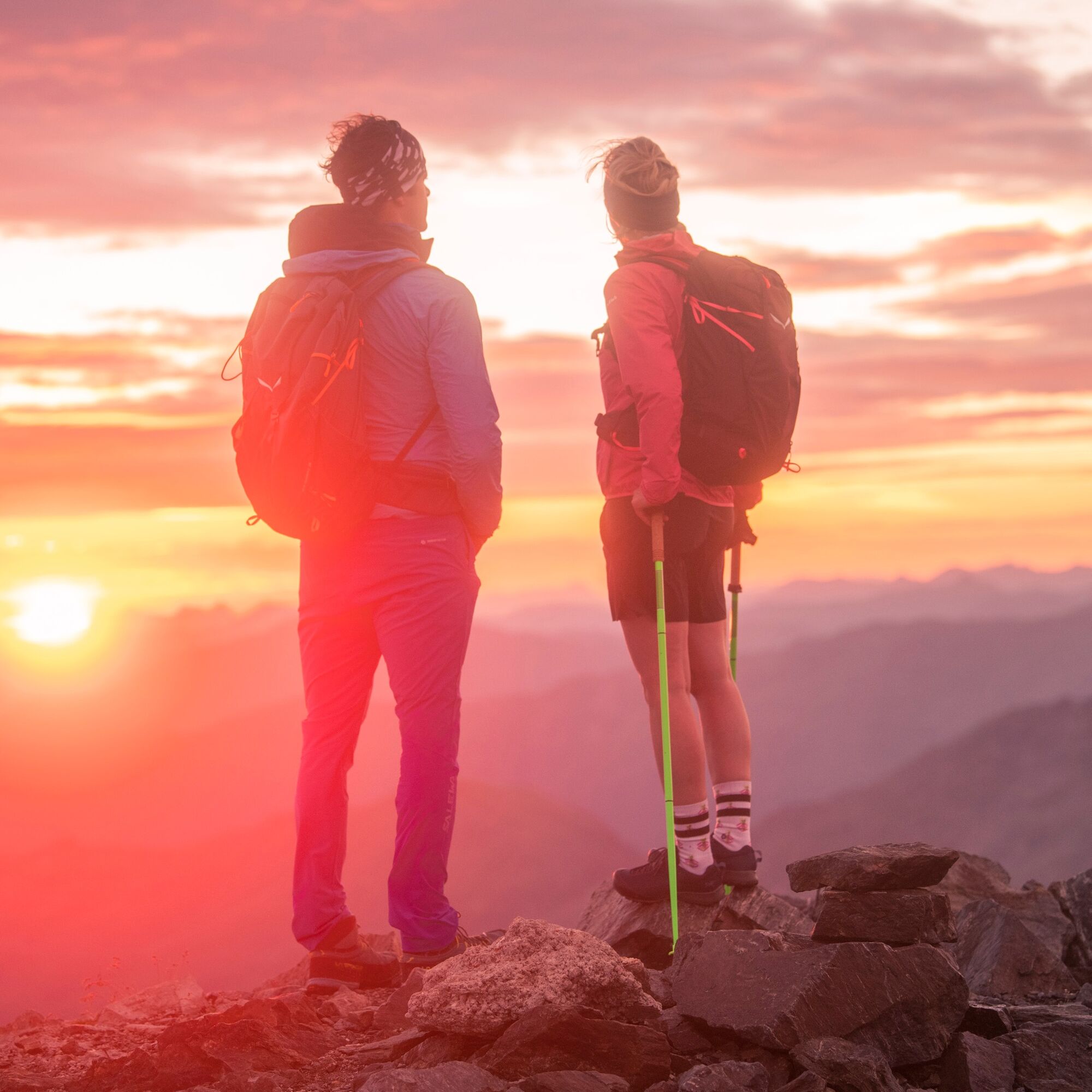
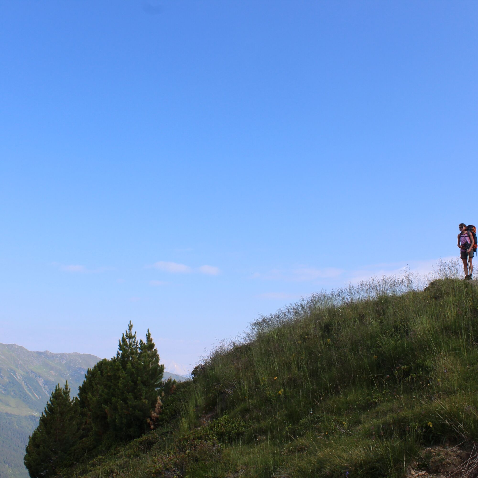
Innsbruck/Igls - Patscherkofel - Zirbenweg - Glungezer Hut 6.5 km, 3 hrs (easy); +550 m altitude gain (from Igls +1100 m) Ascent with the Patscherkofel cable car or climb via "Heiligwasser." From the Patscherkofel House (1970 m) or over the Patscherkofel summit (2246 m) to "Boscheben," along the Zirbenweg, then right on the high trail to the Glungezer Hut (2610 m), the excellent trekking and ski tour hut at the "gateway to the Tux Alps." From here, Sonnenspitze (10 min) and Glungezer (15 min) are easily reachable. From the summit, you can enjoy the widest panoramic view of 500 peaks, passes, and ridges.
Stage 2
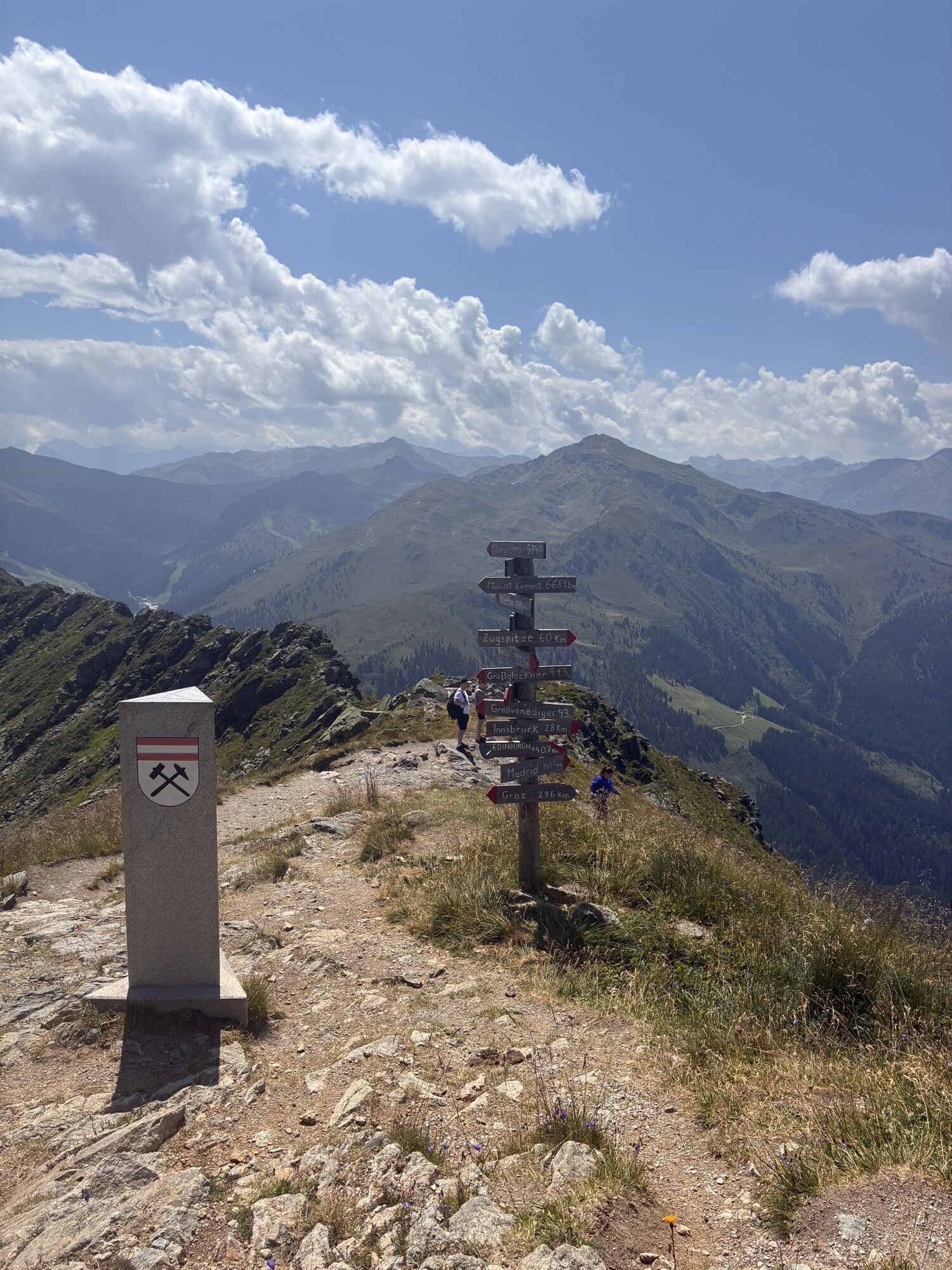
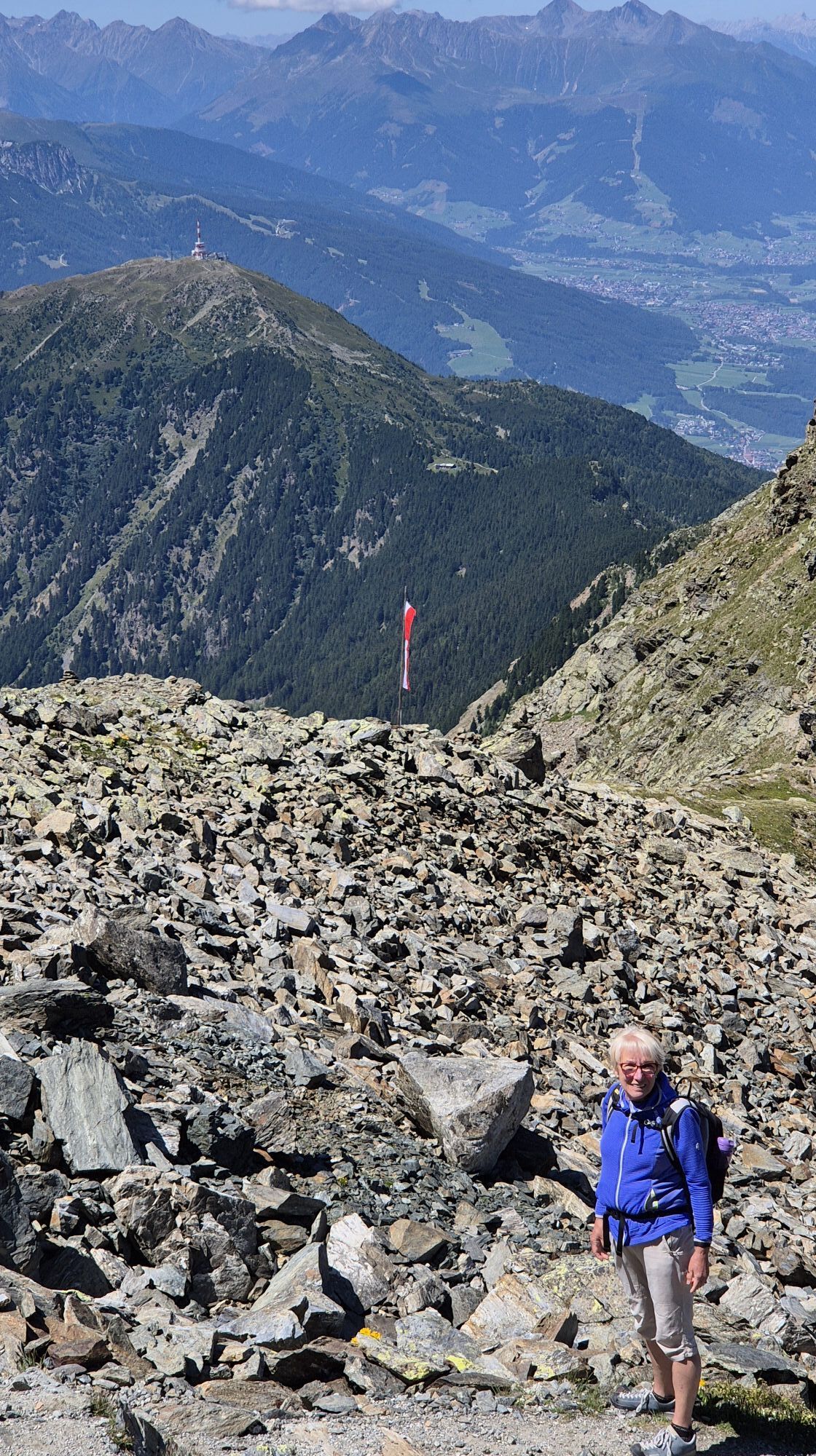
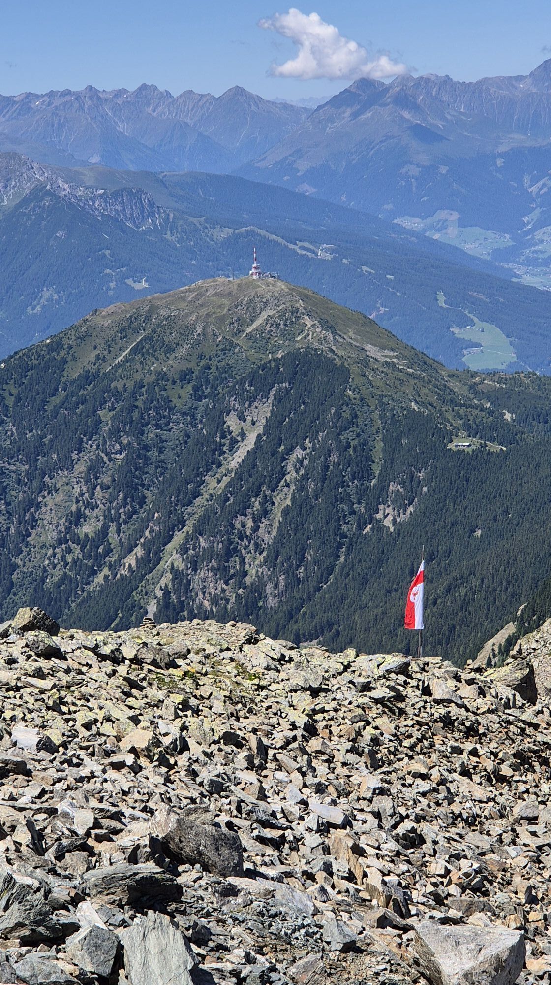
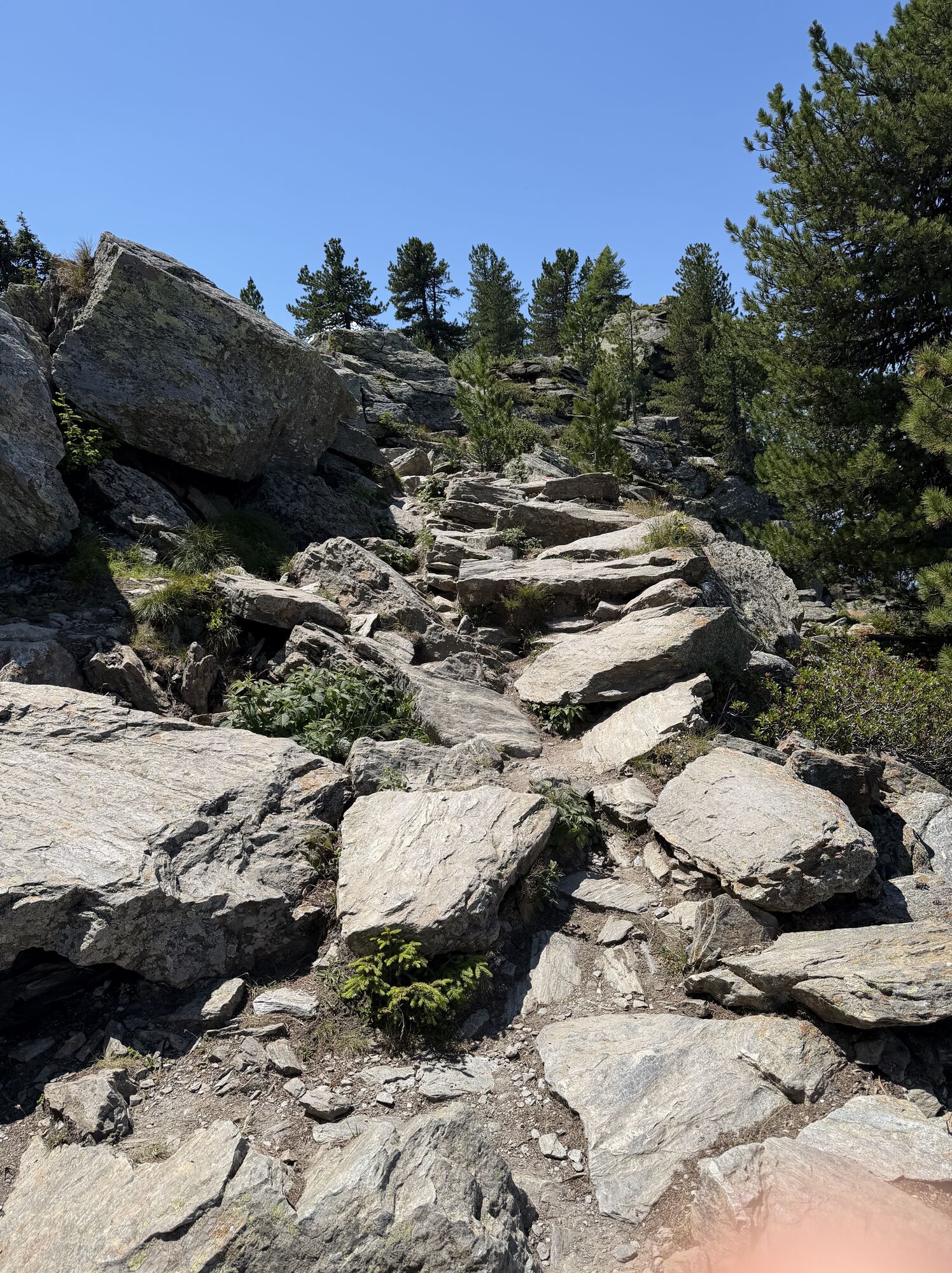
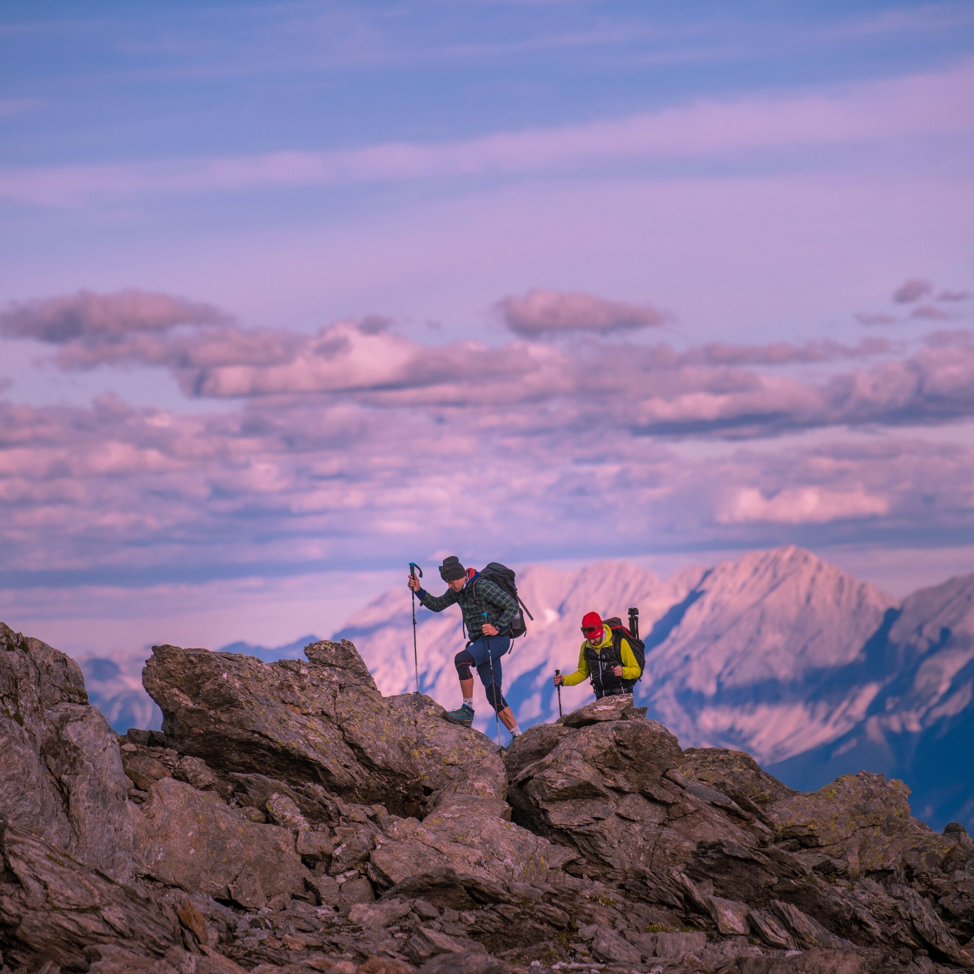
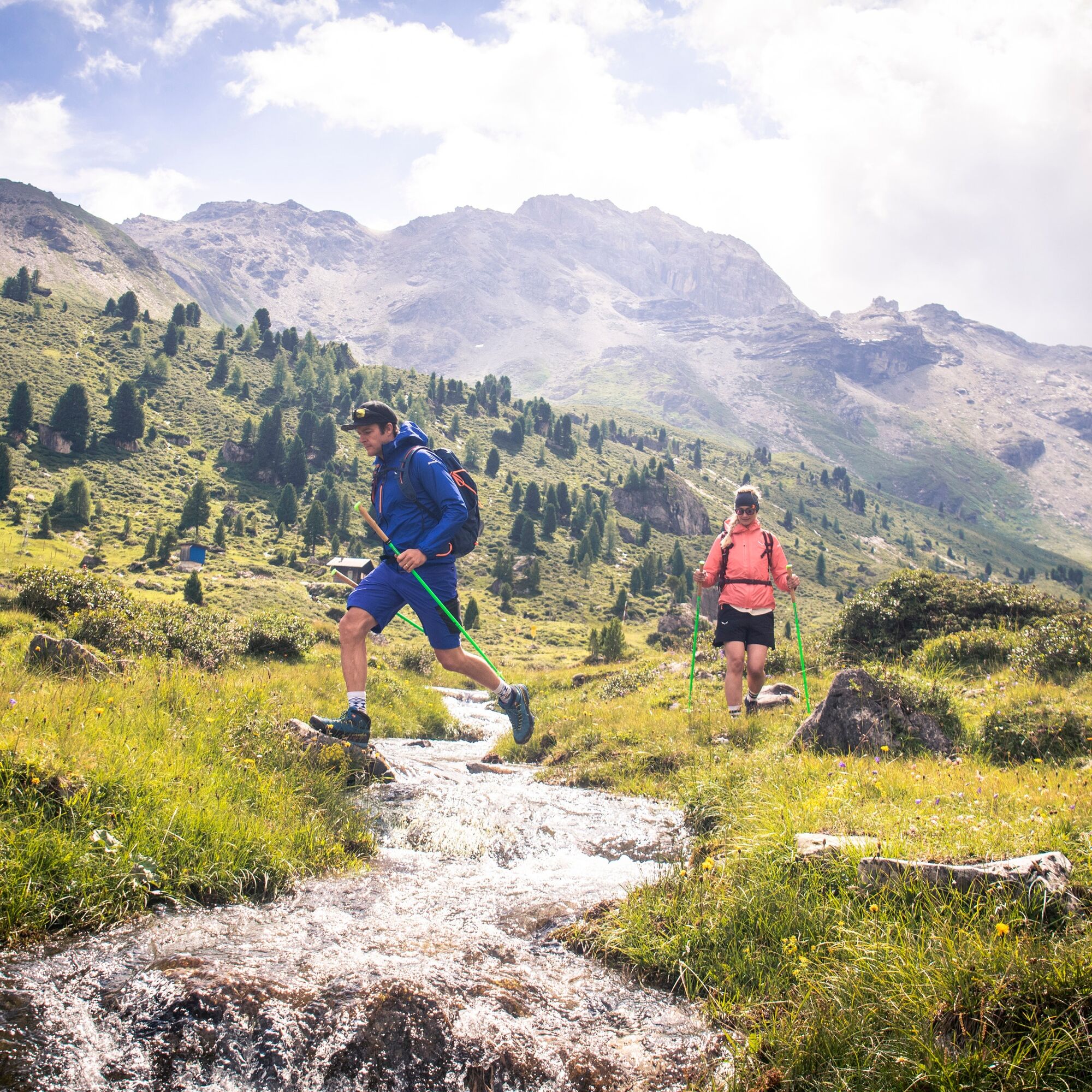
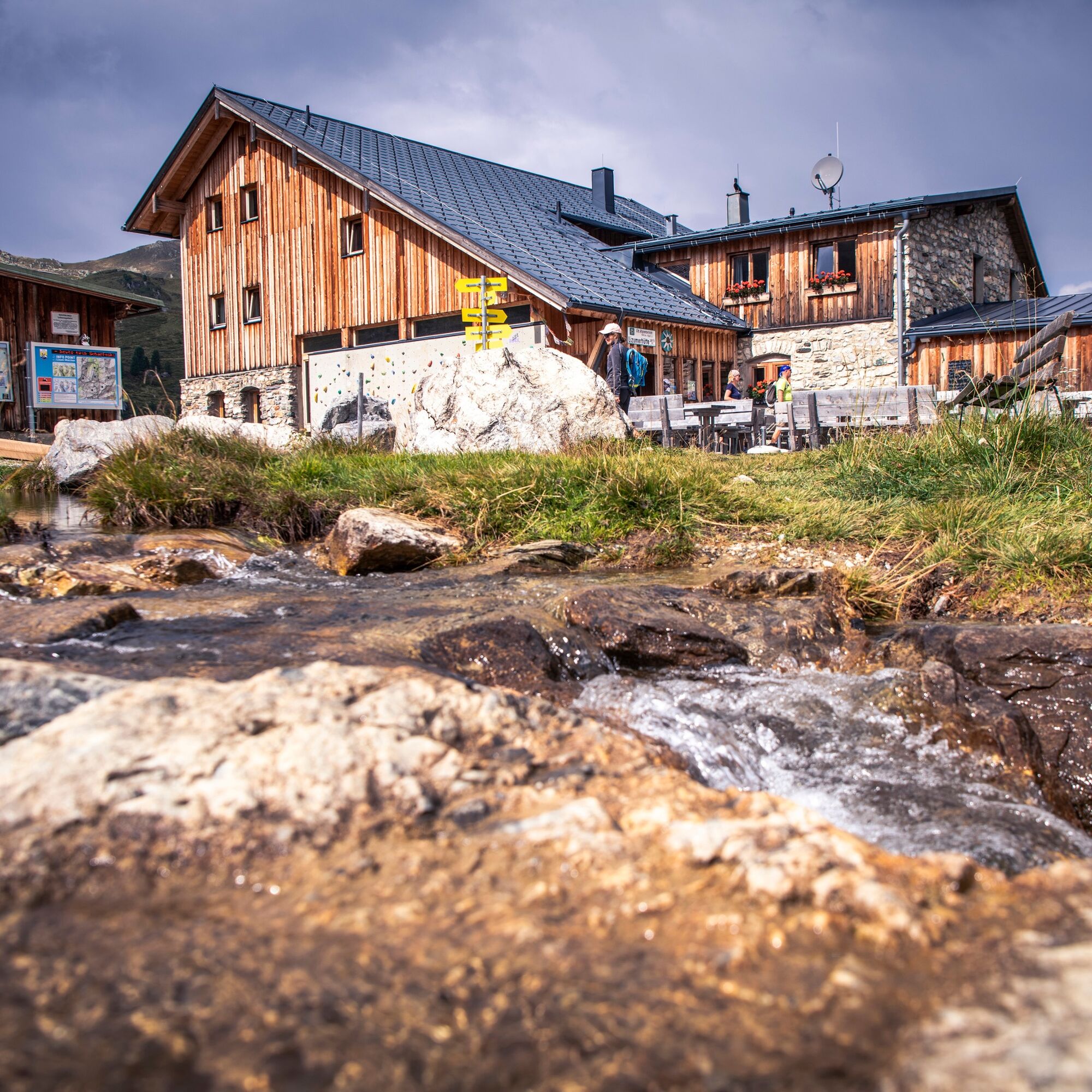
Glungezer Hut - "seven Tuxer summits" - Lizumer Hut 14 km, 7-9 hrs; red, (1 section black; red variant via Tulfeinjöchl 1½ Naviser Jöchl); +750 m / -1350 m The Tyrolean Adlerweg calls this stage "peaks almost without end." It leads from the Glungezer Hut on mostly easy but marked ridge southwards over the "seven Tuxer summits" and the highest point of the route at 2796 m to the Lizum in the Wattental. Some sections require light block climbing. Route: Glungezer, Gamslahner, Kreuzjöchl, Kreuzspitze, Rosenjoch, Grünbergspitze, Grafmartspitze, Naviser Jöchl, Mölsjoch, Schoberspitze, Mölser Sonnenspitze, Klammjoch, Lizumer Hut (2019 m), the excellent trekking and ski tour hut in the heart of the Tux Alps and in the middle of the Austrian Armed Forces training area Lizum.
Stage 3
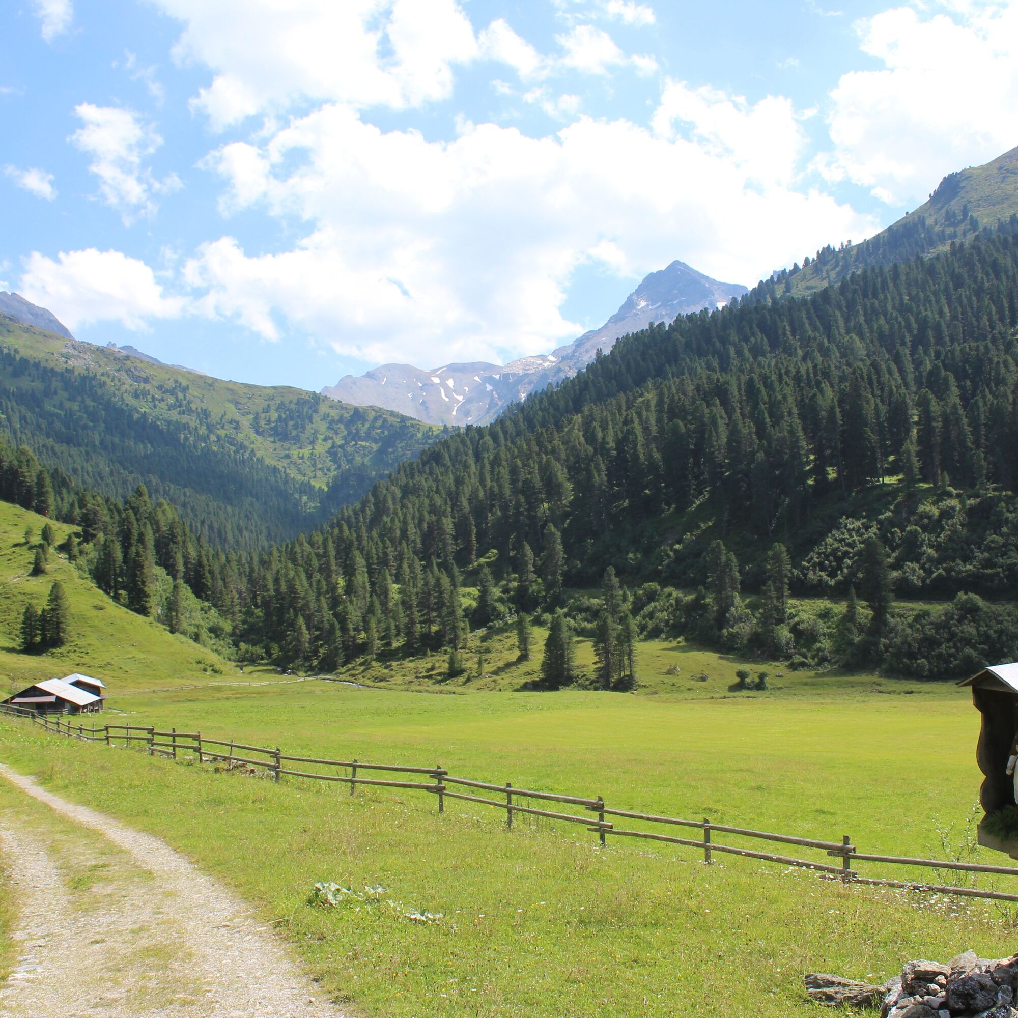
Lizumer Hut - Grafennsjoch - Weidener Hut 11 km, 5 hrs; red; +430 m / -650 m From the Lizumer Hut follow the Central Alpine Trail 02A: past the Soldiers' Church, through old pine stands below Torspitze, Eiskarspitze, and Hippold to the Grafennsjoch. Soon the trail goes down along the Weerbach to the Grafennalm and the Weidener Hut (1799 m).
Stage 4
Weidener Hut - Rastkogel - Rastkogel Hut 11 km, 6 hrs, red; +960 m / -645 m From the Weidener Hut along the long-distance path 302A along the Nafingbach valley, over the Nafingalm below Halslspitze to Nurpensjoch. From here on trail 318 to Rastkogel (2762 m). The descent follows a green ridge past two small lakes to Sidanjoch (2127 m) and then to the family-friendly Rastkogel Hut (2124 m).
Stage 5a
Rastkogel Hut - Hochfügen 7 km, 2.15 hrs, red; -650 m From the hut back to Sidanjoch (2127 m), with a beautiful view of the "Zillertal Alps." The easy descent goes via trail 316 to Pfundsalm-Mittelleger (1832 m), along the Finsingbach downstream (variant via Lamarkalm Niederleger, 1613 m) to Hochfügen (1470 m). Possible overnight stay.
Stage 5b
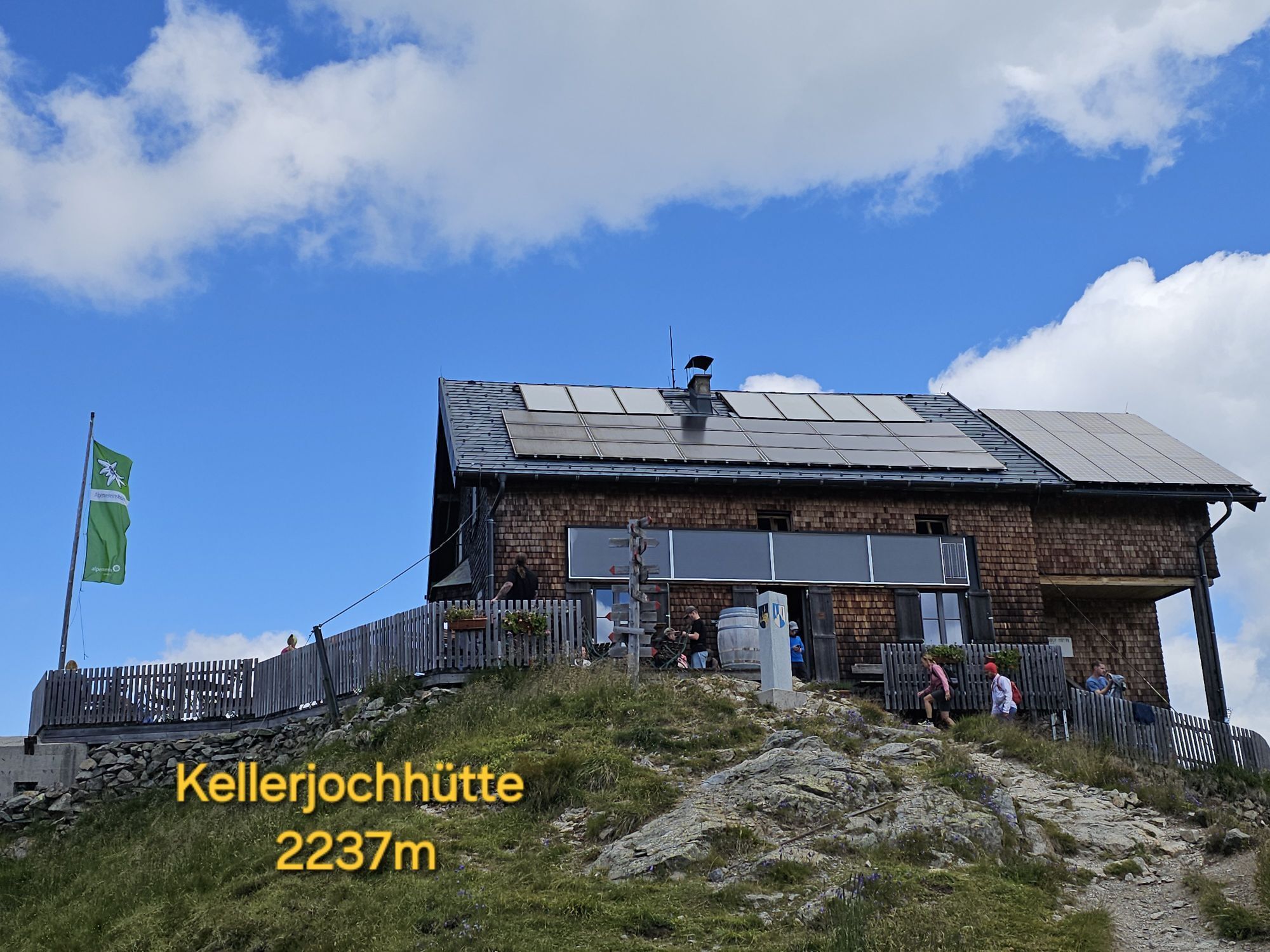
Hochfügen - Kellerjoch Hut 7 km, 3.30 hrs, red; +770 m The continuation trail no. 316 from Hochfügen is an easy ascent over Maschentalalm (1717 m) to Loassattel (1675 m). From here, either on trail 311 "high plain way" over Naunzalm directly to the hut or further on trail 316 to "Kuhmesser" with spectacular views towards Innsbruck and Zillertal. The path then leads below the summit to Kellerjoch Hut (2237 m), the award-winning hiking hut of the Silberregion Karwendel above the Inn and Zillertal.
Stage 6
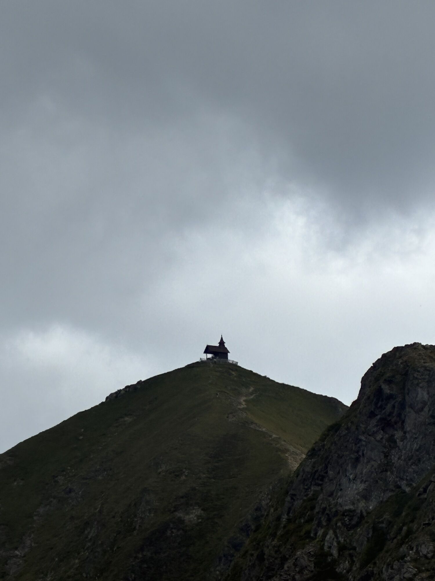
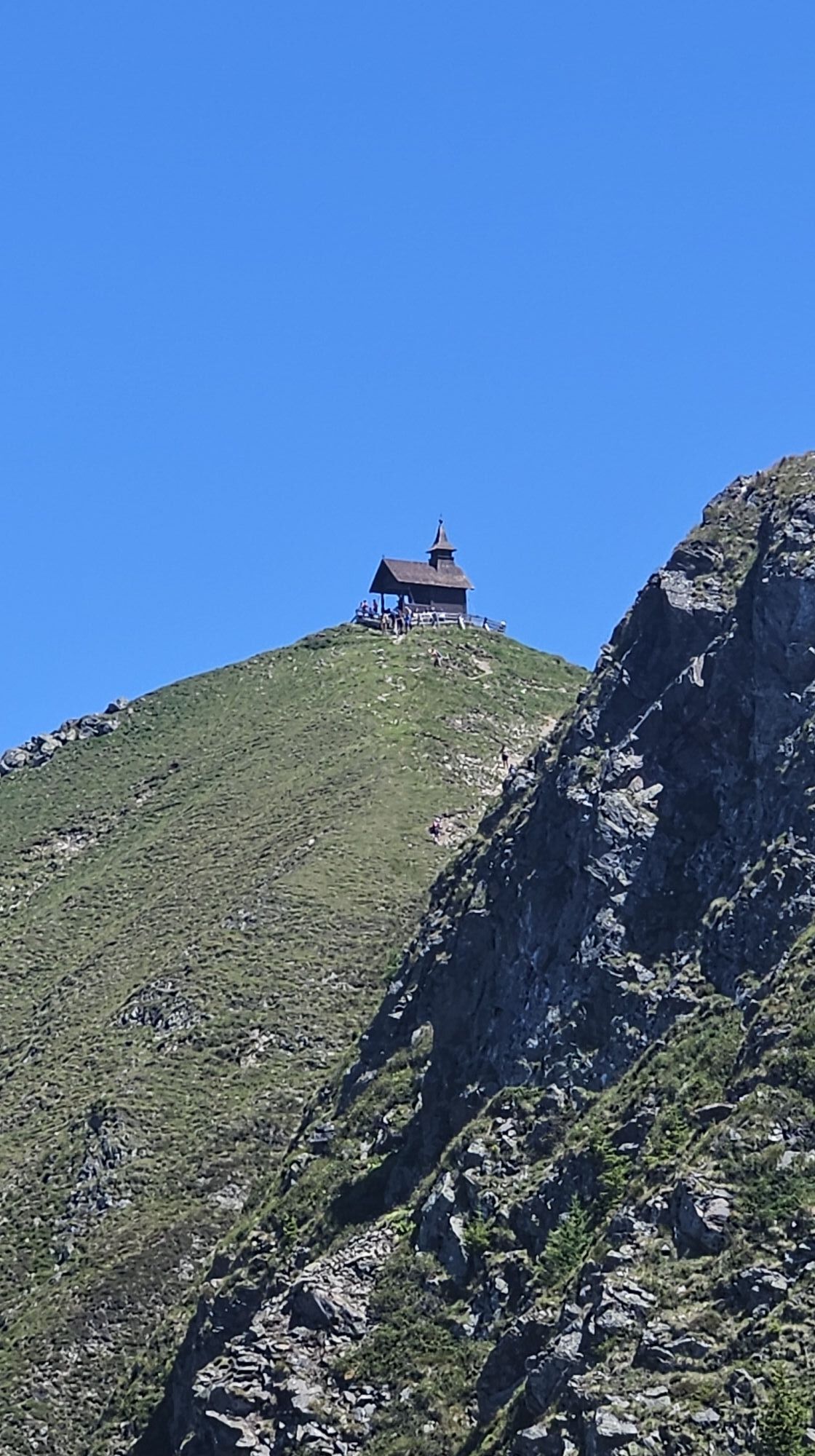
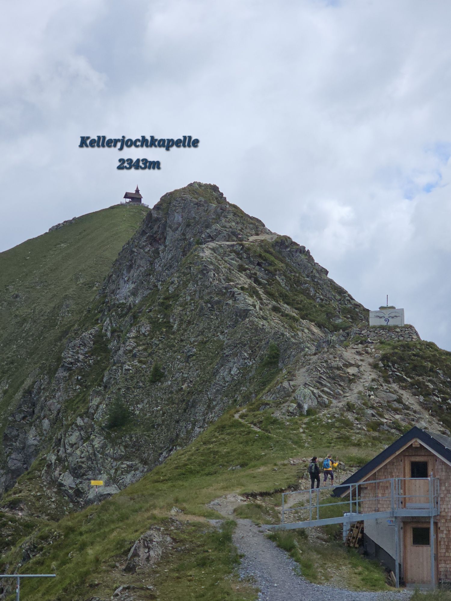
Kellerjoch Hut - Schwaz 6 km (to Grafenast), 2 hrs, easy; -900 m (to Schwaz -1700 m) The short detour to Kellerjoch (2344 m) with its charming chapel and the wonderful view of the Karwendel mountain range is worthwhile. Descent from the hut on the Jägersteig over the upper and lower Naunzalm meadows, on the Jägersteig then along the "Old Kellerjoch Trail" 312 to Hochpillberg, cable car station Kellerjochbahn Grafenast (1347 m), and then to Schwaz.
Tak
The route follows existing paths and trails, is marked and signposted. It can also be hiked in the opposite direction from Kellerjoch to Patscherkofel. "Entrances" and "exits" to the route are possible at every hut.
Innsbruck - Innsbruck/Igls
Take the Bus J to the starting point at Igls/Innsbruck
Availability query for the Inntaler Höhenweg
Kamery internetowe z trasy
-
Onkeljoch
-
Hochfügen - Waidoffen
-
Glungezer-Gipfel
-
Tux - Hintertux / Schöne Aussicht Apartments
-
Schwaz/Kogelmoos
-
Rastkogel
-
Kinderland Rinn
-
Inntal
-
Innsbruck - Adlers Hotel
-
Hüttegglift
-
Golfclub Zillertal - Uderns
-
Wanglspitz - Tuxertal
-
Pillberg - Silberregion Karwendel
-
Pillberg - Silberregion Karwendel
-
Pillberg - Silberregion Karwendel
-
Pillberg - Silberregion Karwendel
-
Spieljochbahn
-
Klausboden Tal
-
Mayrhofen im Zillertal - Schafkopf
-
Onkeljoch
-
Silberstadt Schwaz
-
Silberstadt Schwaz
-
Silberstadt Schwaz
-
Silberstadt Schwaz
-
Silberstadt Schwaz
-
UNI Innsbruck
-
Schiestlhof
-
Hüttegglift
-
Innsbruck - Markthalle
-
Innsbruck - Patscherkofel
-
Glungezerbahn Mittelstation
-
UNI Innsbruck West
-
Glungezerbahn Bergstation
-
Glungezerbahn Bergstation
-
Glungezerbahn Bergstation
-
Glungezerbahn Bergstation
-
Glungezerbahn Bergstation
-
Schiestlhof
-
Schiestlhof
-
Schiestlhof
Uzyskaj wgląd
Zawsze na żywo z ponad 9 500 kamer internetowych. bergfex Jako użytkownik Pro, możesz teraz zobaczyć odpowiednie kamery internetowe dla wielu wycieczek w aplikacji wycieczki od. Pozwala to na bezpośredni podgląd aktualnych warunków.
Popularne wycieczki w okolicy
-
5,0
Loassattel - Kuhmesser - Kellerjoch - Kellerjoch Kapelle - Hochebenweg - Loassattel
średniWędrówka 8,70 km -
4,9
Patscherkofel Gipfelrunde mit Zirbenweg
światłoWędrówka 6,52 km -
4,7
Hochfügen, Vier-Almen-Tour, Tirol/Österreich
światłoWędrówka 7,82 km -
4,6
Gamshütte von Finkenberg aus
średniWędrówka 5,28 km -
4,9
4-Gipfel-Tour zum Gilfert
średniWędrówka 11,2 km -
4,5
Up to the Largoz
średniWędrówka 7,01 km -
3,9
Der Zirbenweg, vom Patscherkofel über den Zirbenweg nach Tulfes
światłoWędrówka 6,94 km -
3,3
Rundwanderung über "Stoanmandlweg": Hirschbichlalm - Wedelhütte - Wimbachkopf - Kristallhütte
Wędrówka 7,25 km -
4,7
Klassische Startrunde zum „Einwandern“
światłoWędrówka 8,77 km -
4,7
Melchboden - Arbiskopf - Rauhenkopf - Rastkogelhütte - Melchboden
średniWędrówka 7,53 km
Wędrówki i tropienie


Nie przegap ofert i inspiracji na następne wakacje
Twój adres e-mail została dodana do listy mailingowej.





