







3-day mountain hut walk - stage 3

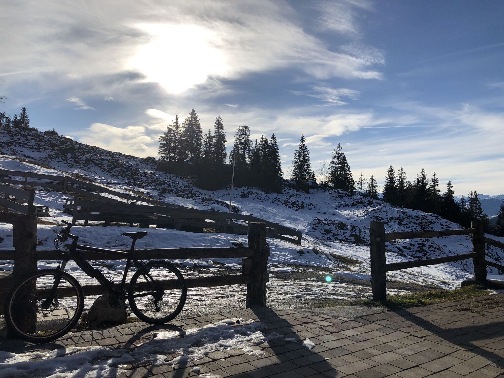
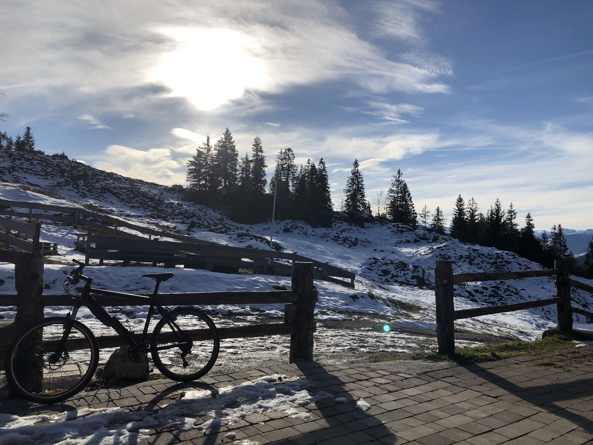
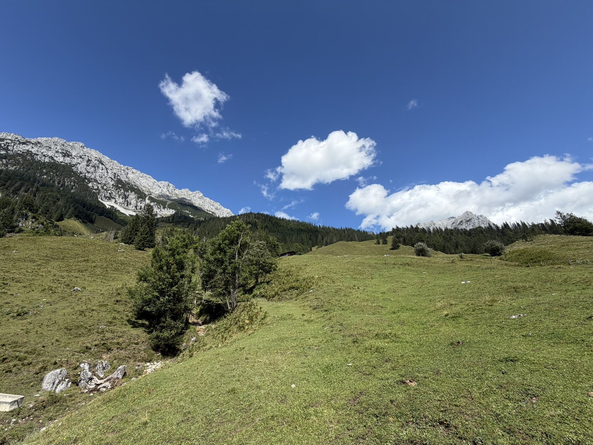
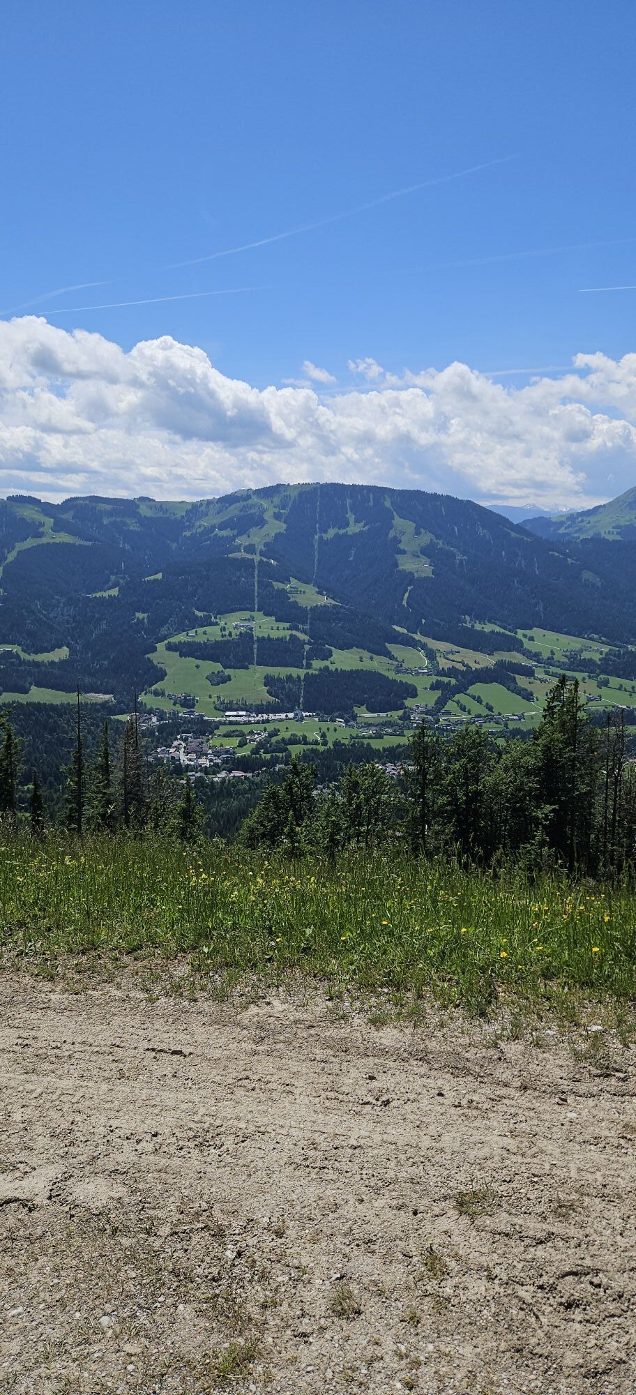
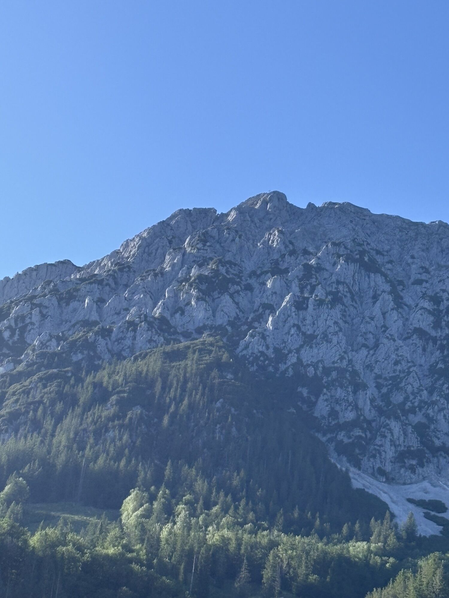
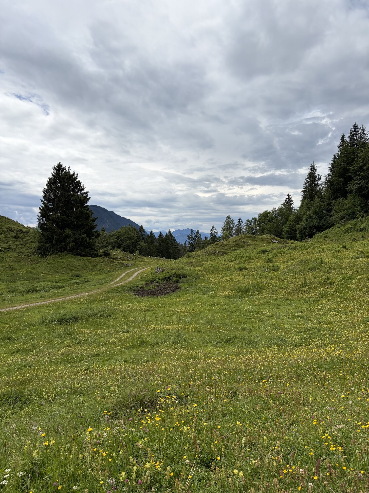
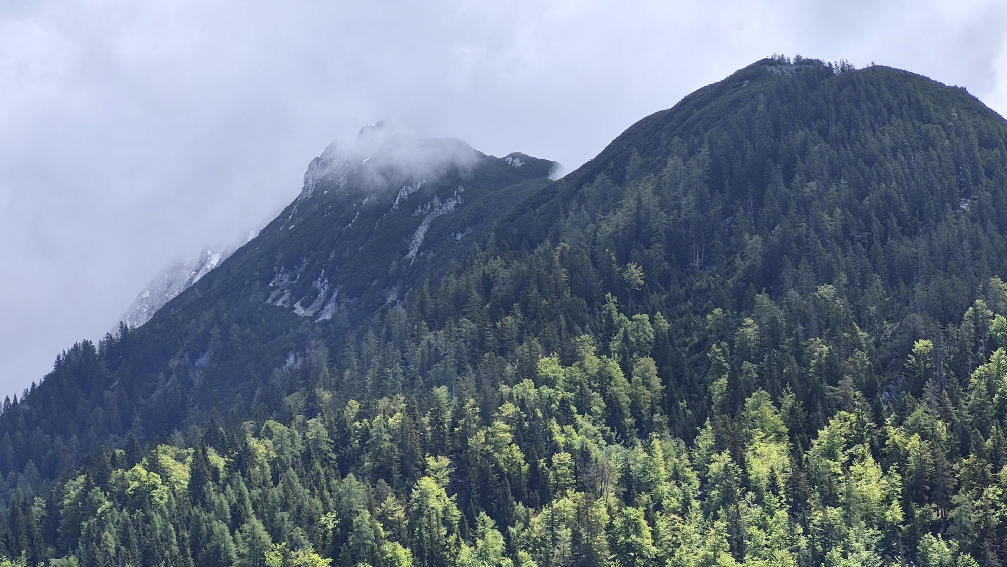
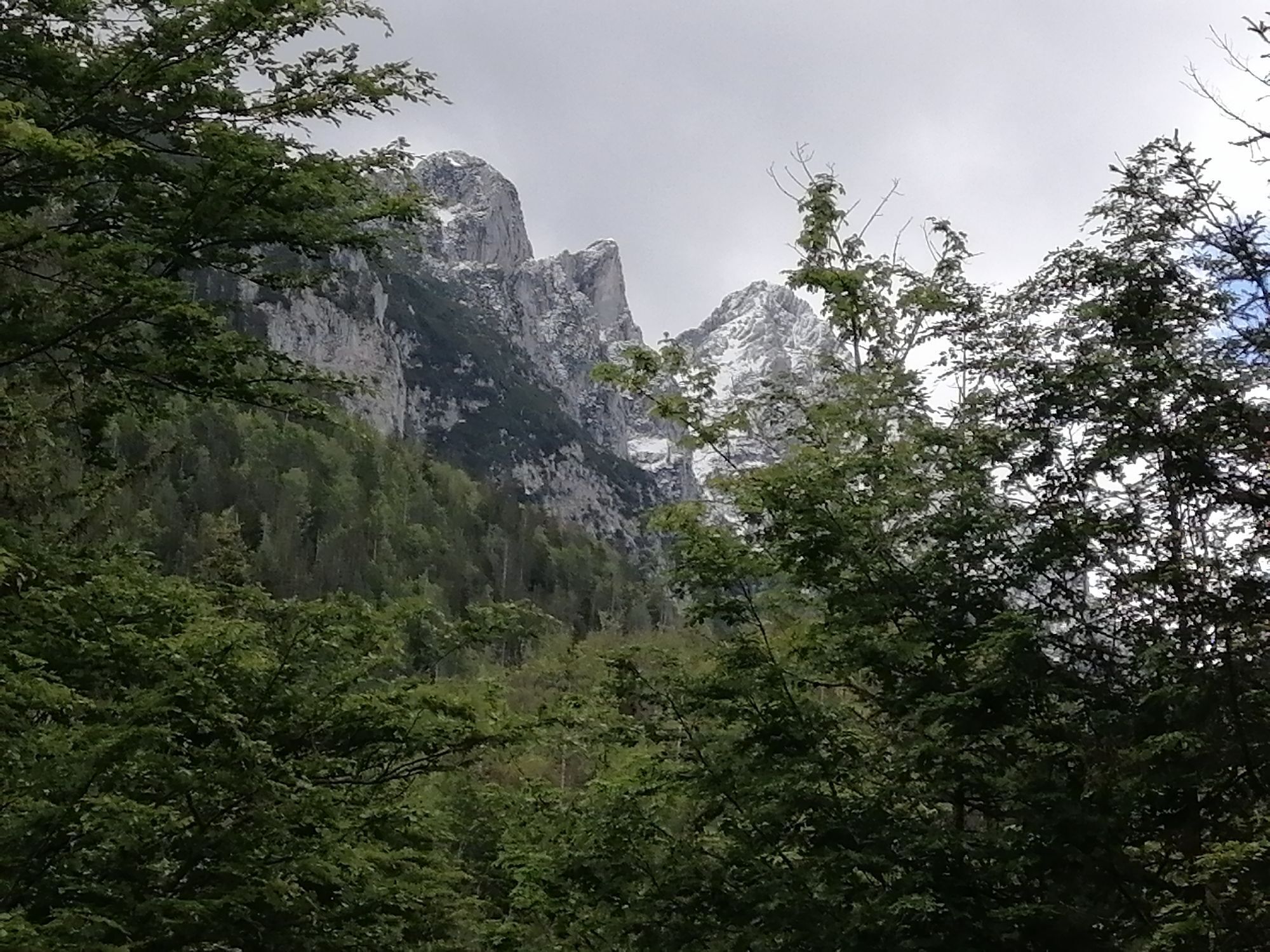
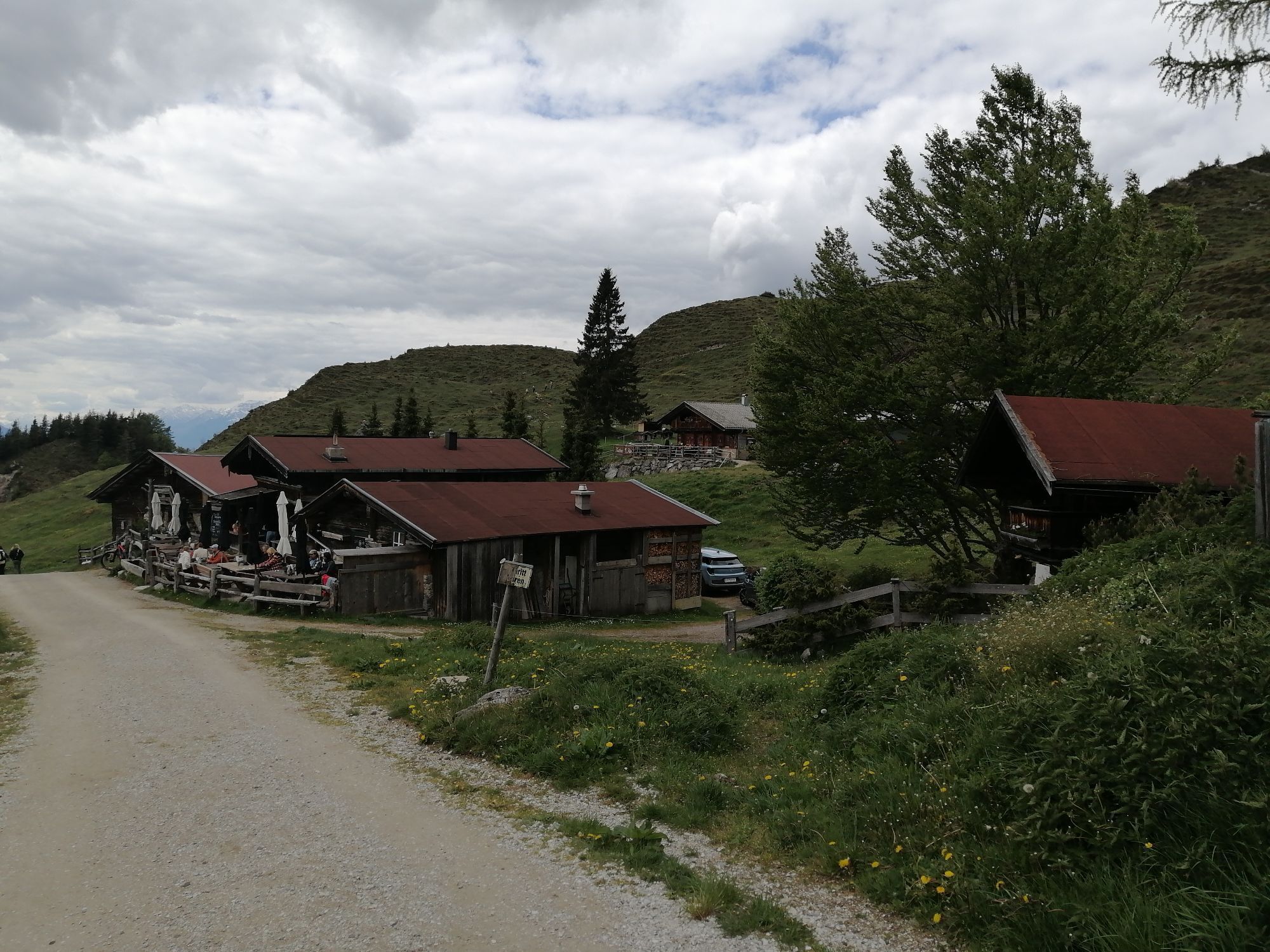
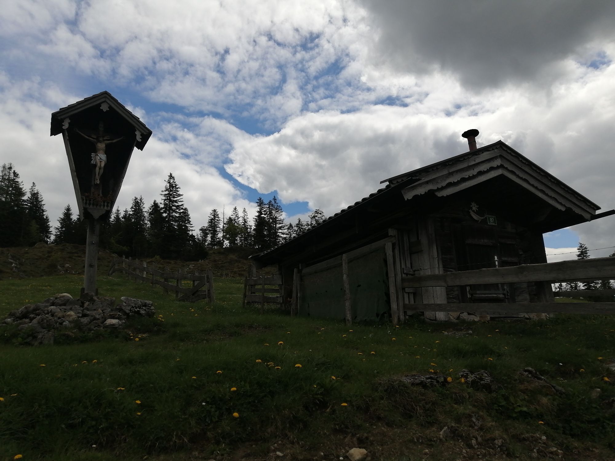
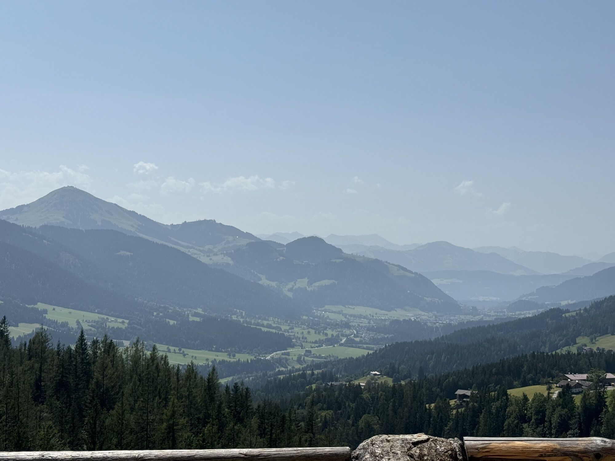
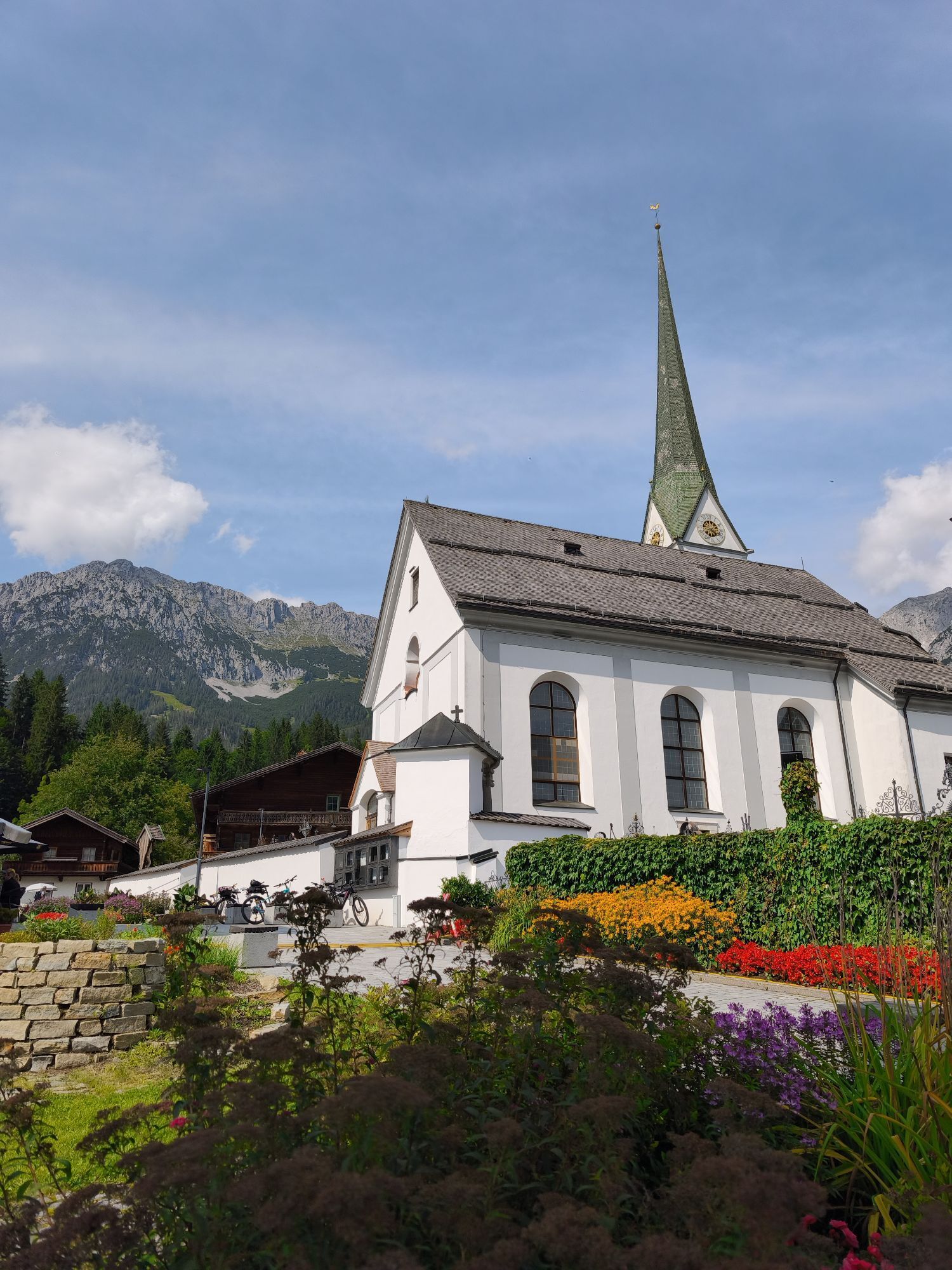
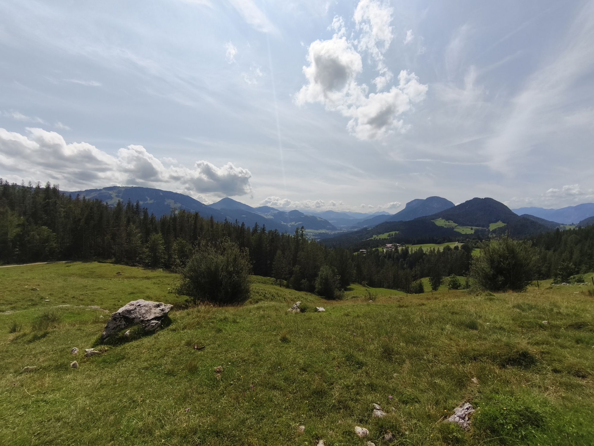

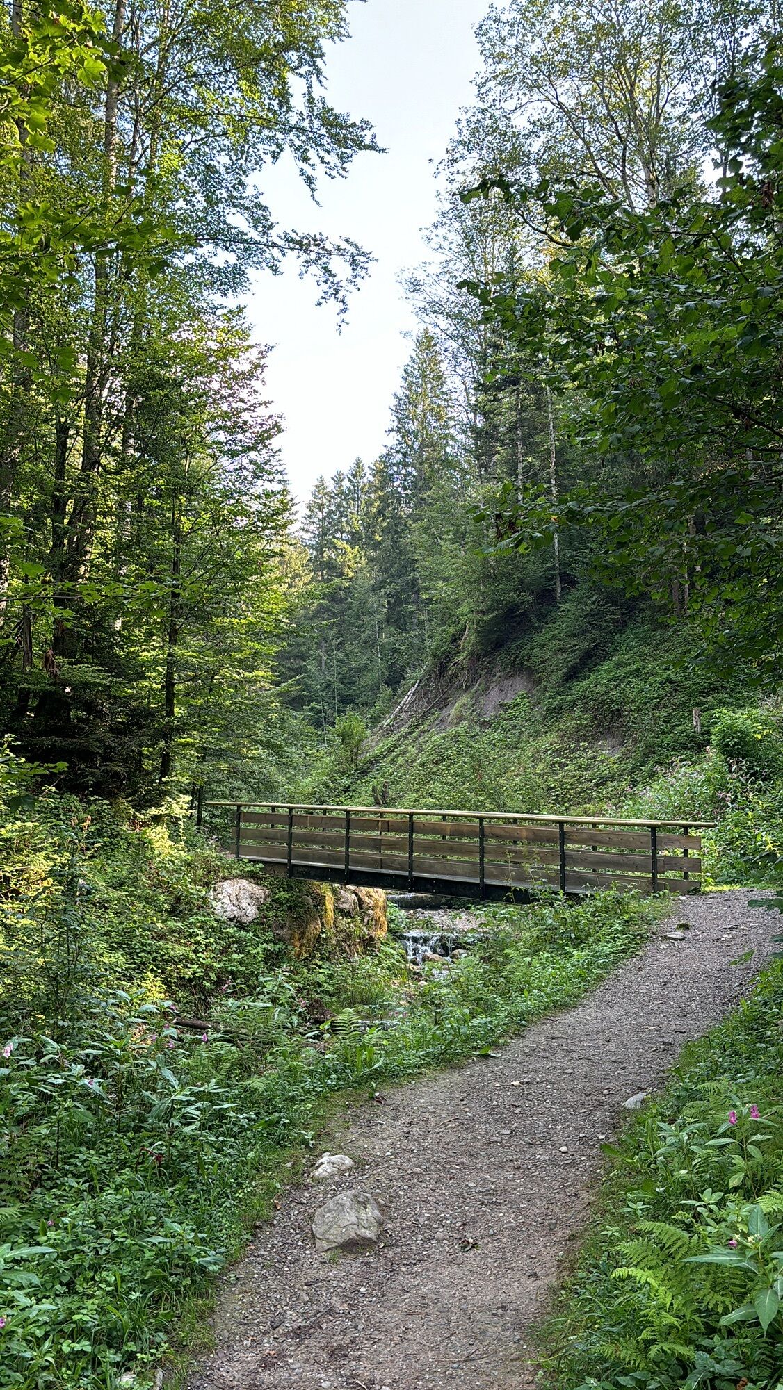
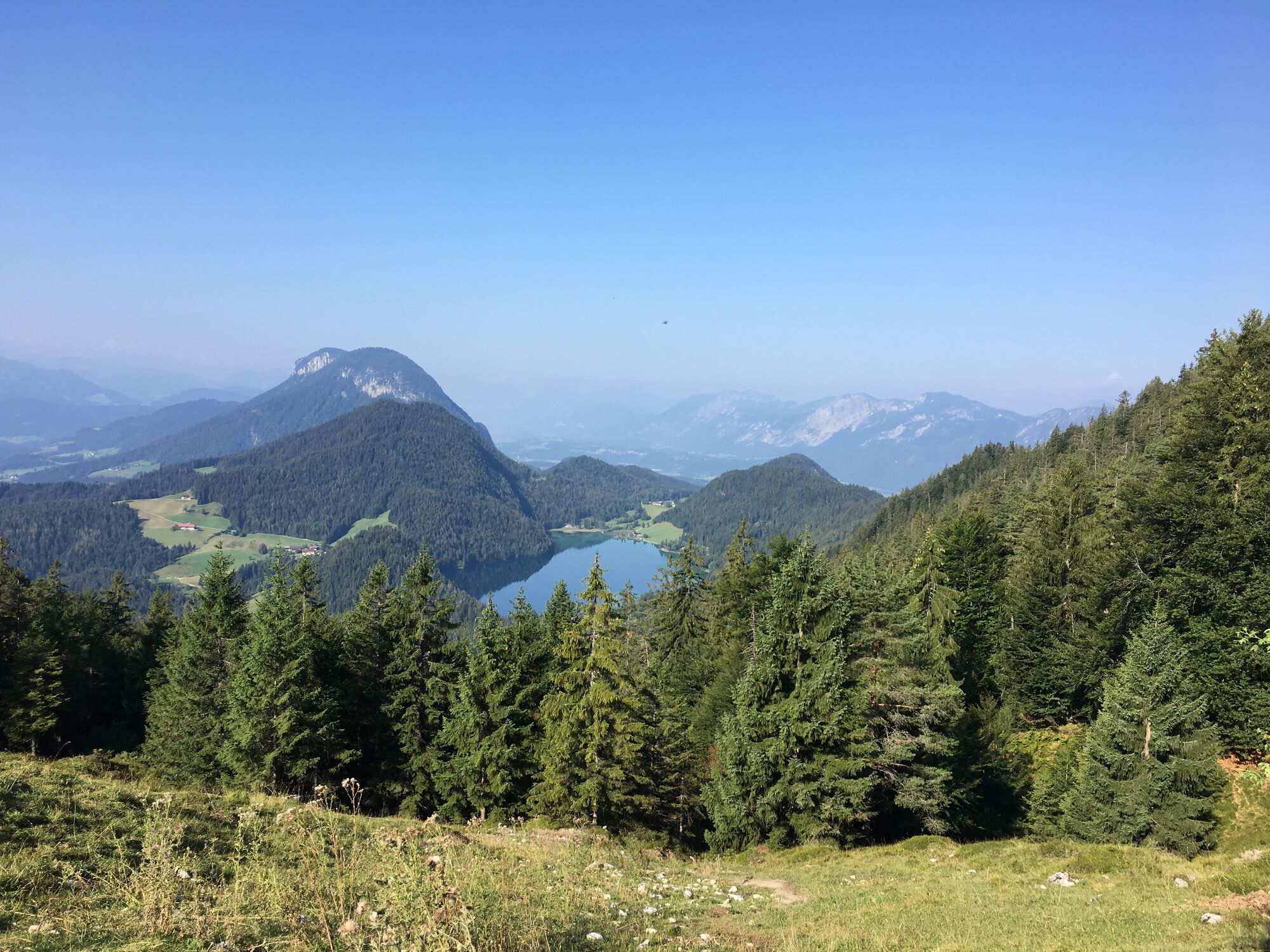
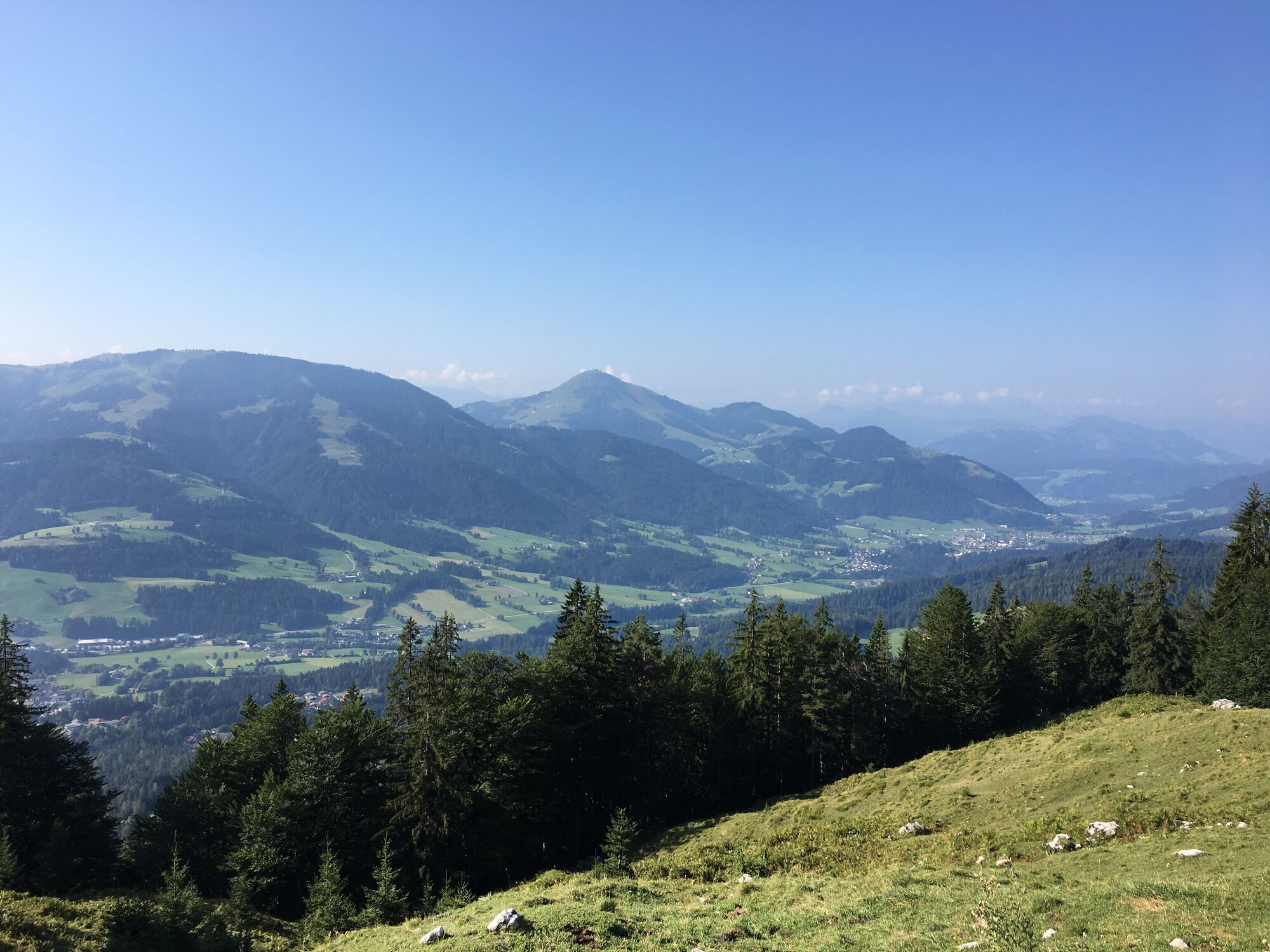
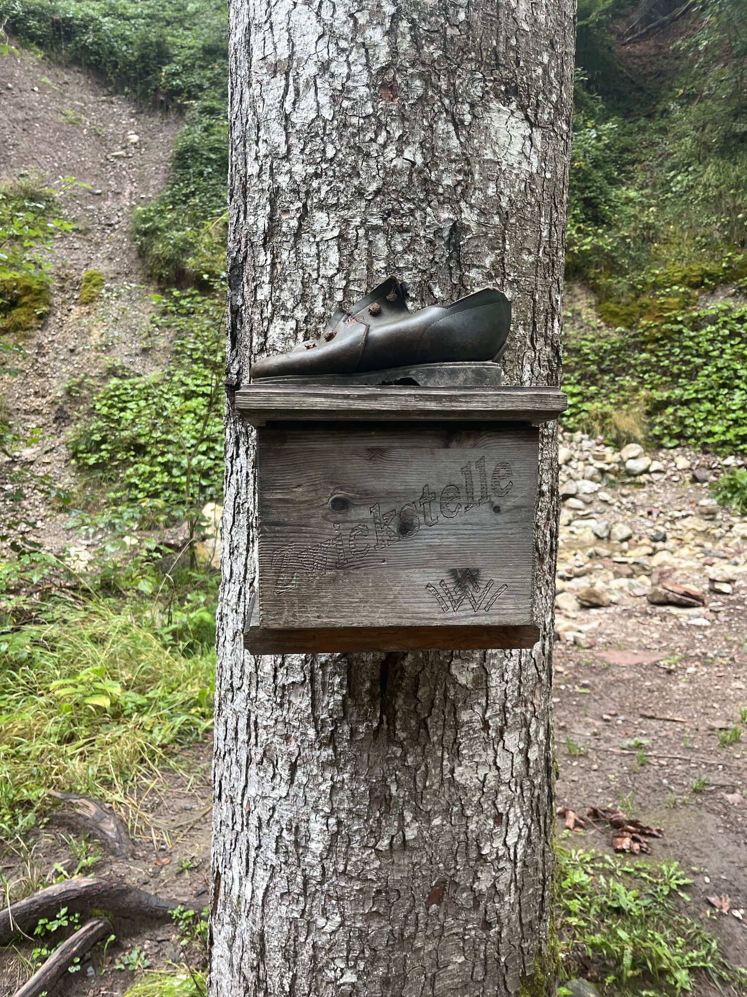
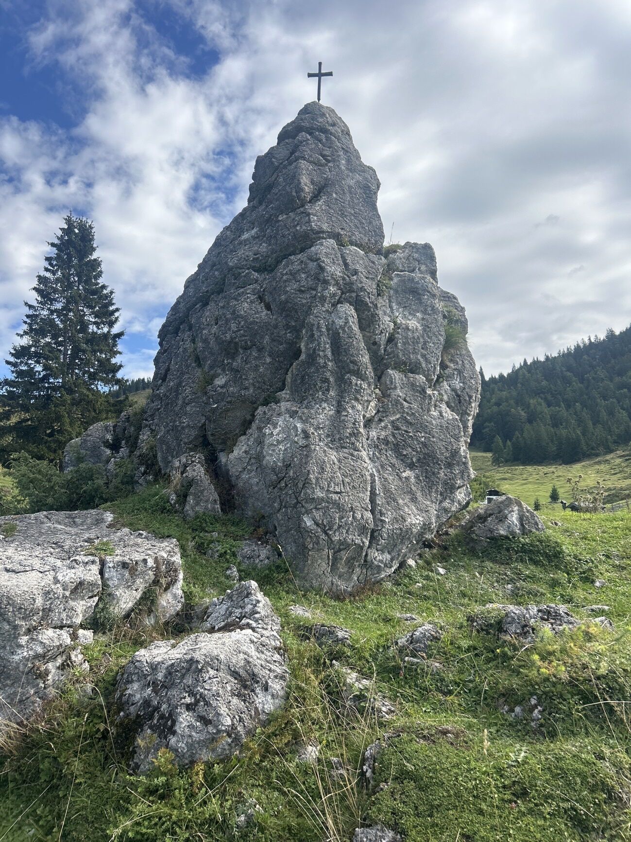
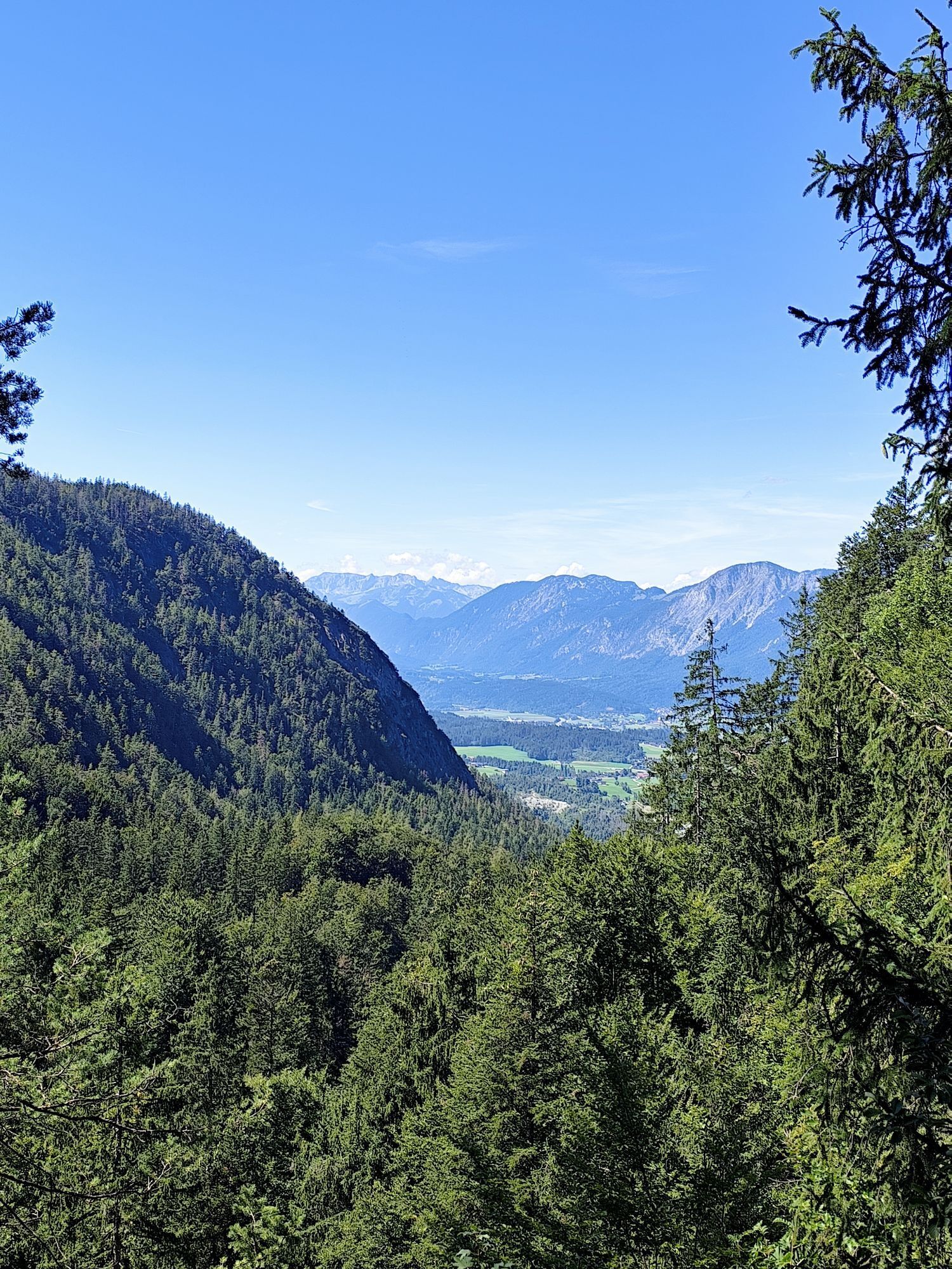
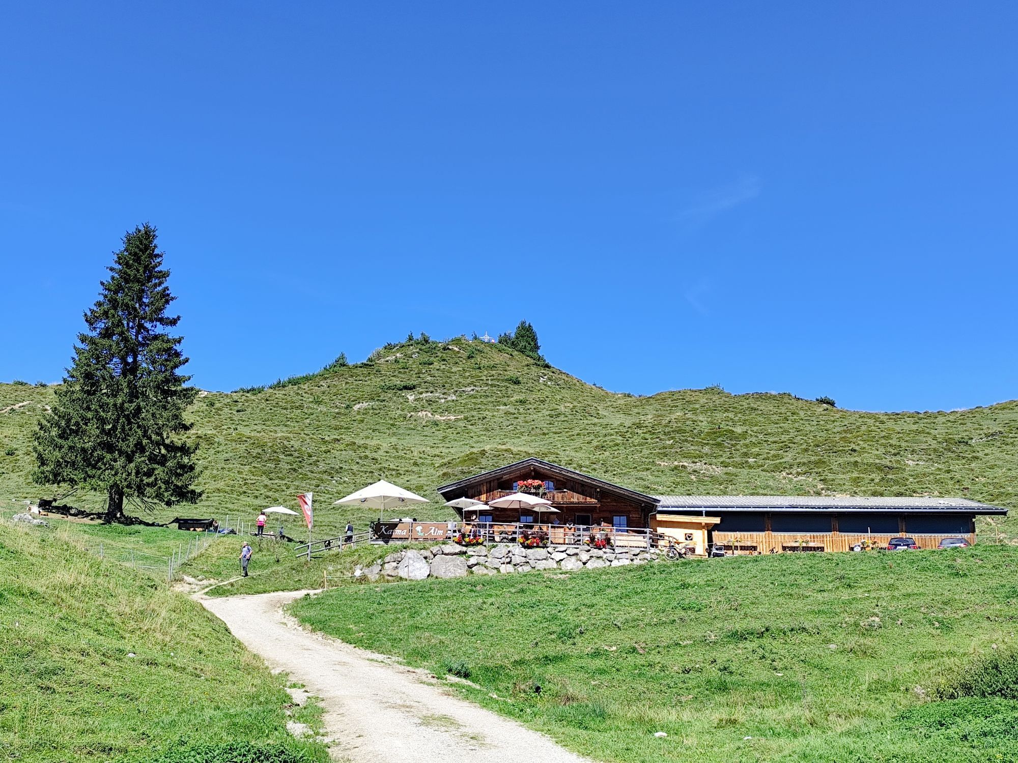
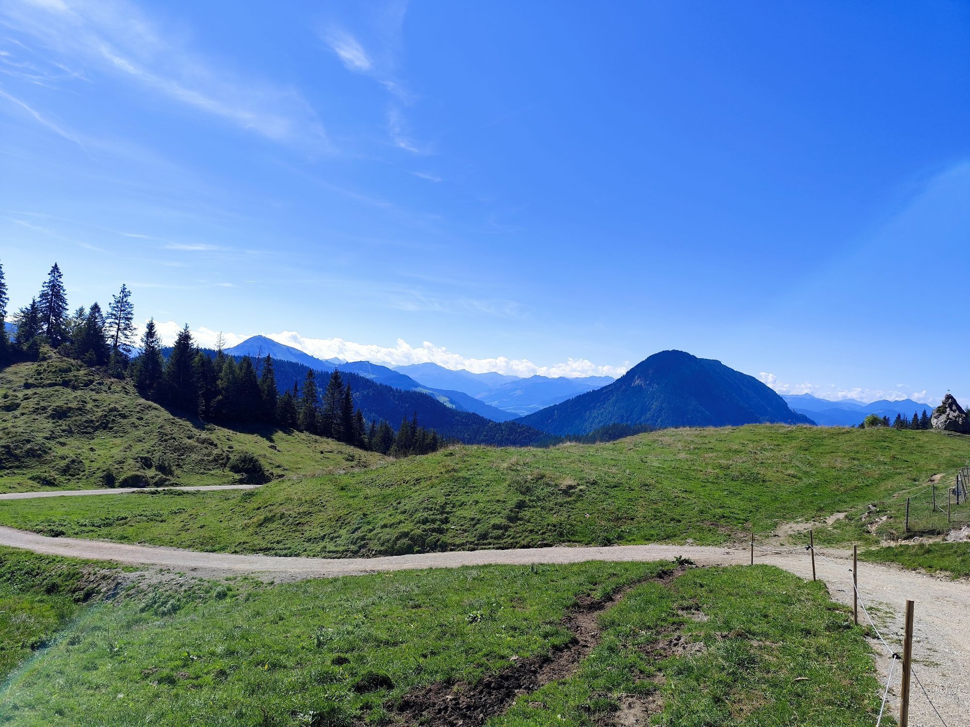
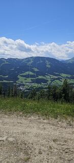
Experience nature in a picturesque setting, savour farmhouse delicacies and enjoy the wild water!
Behind the Pension Maier guesthouse, forest road 45 leads up a steep incline from the car park (pay & display)...
Experience nature in a picturesque setting, savour farmhouse delicacies and enjoy the wild water!
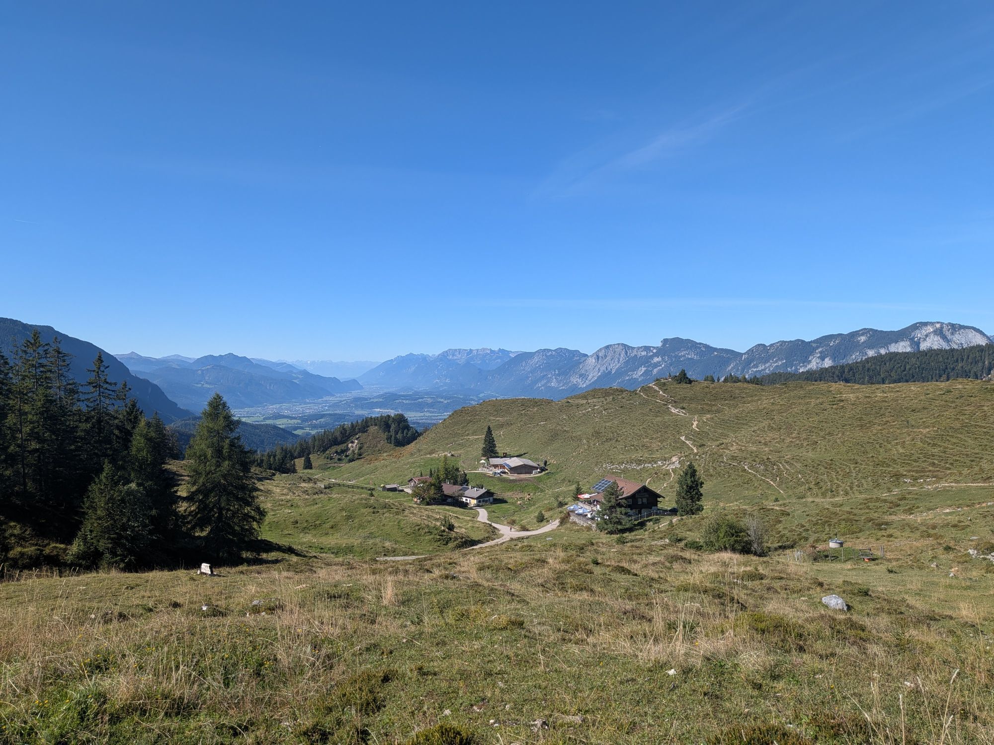
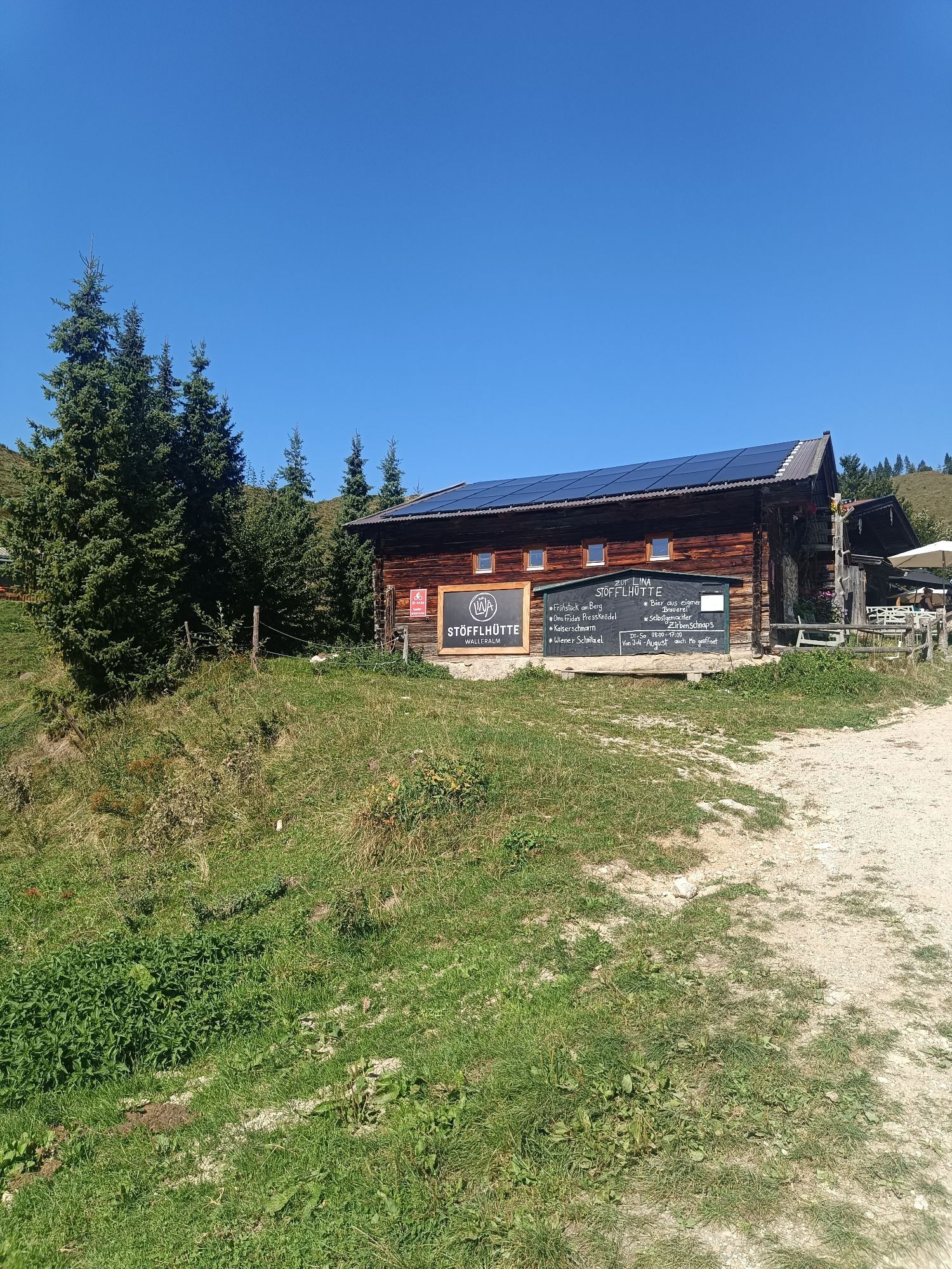
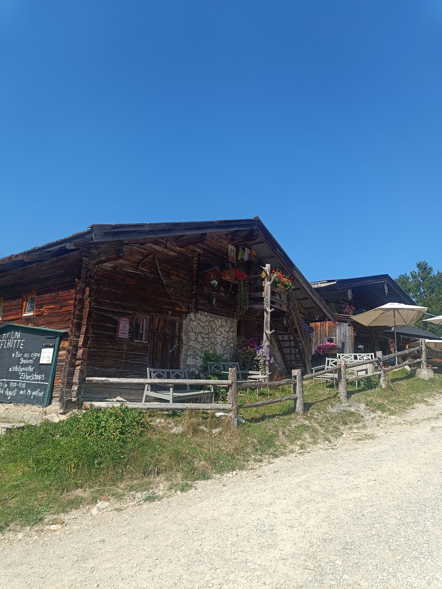
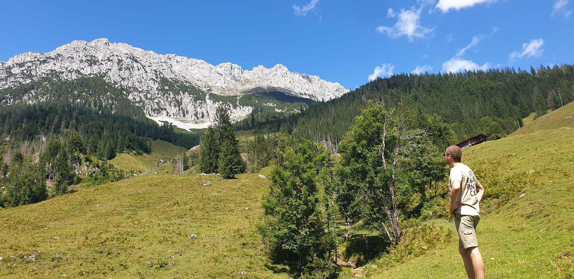
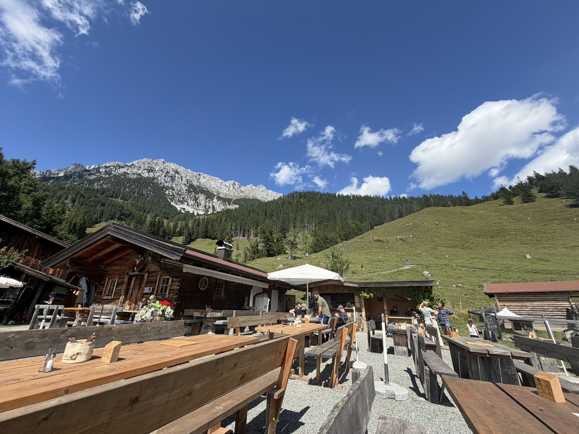
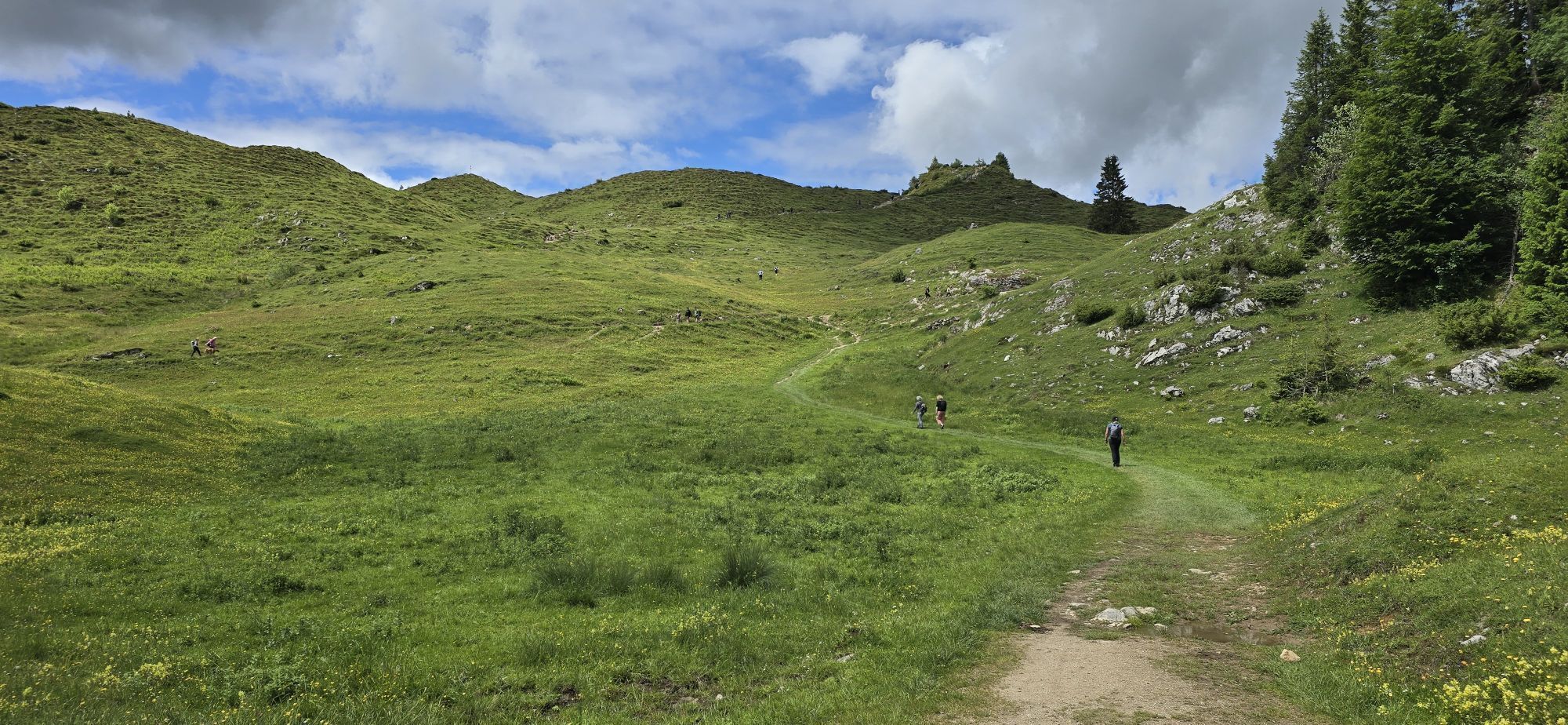
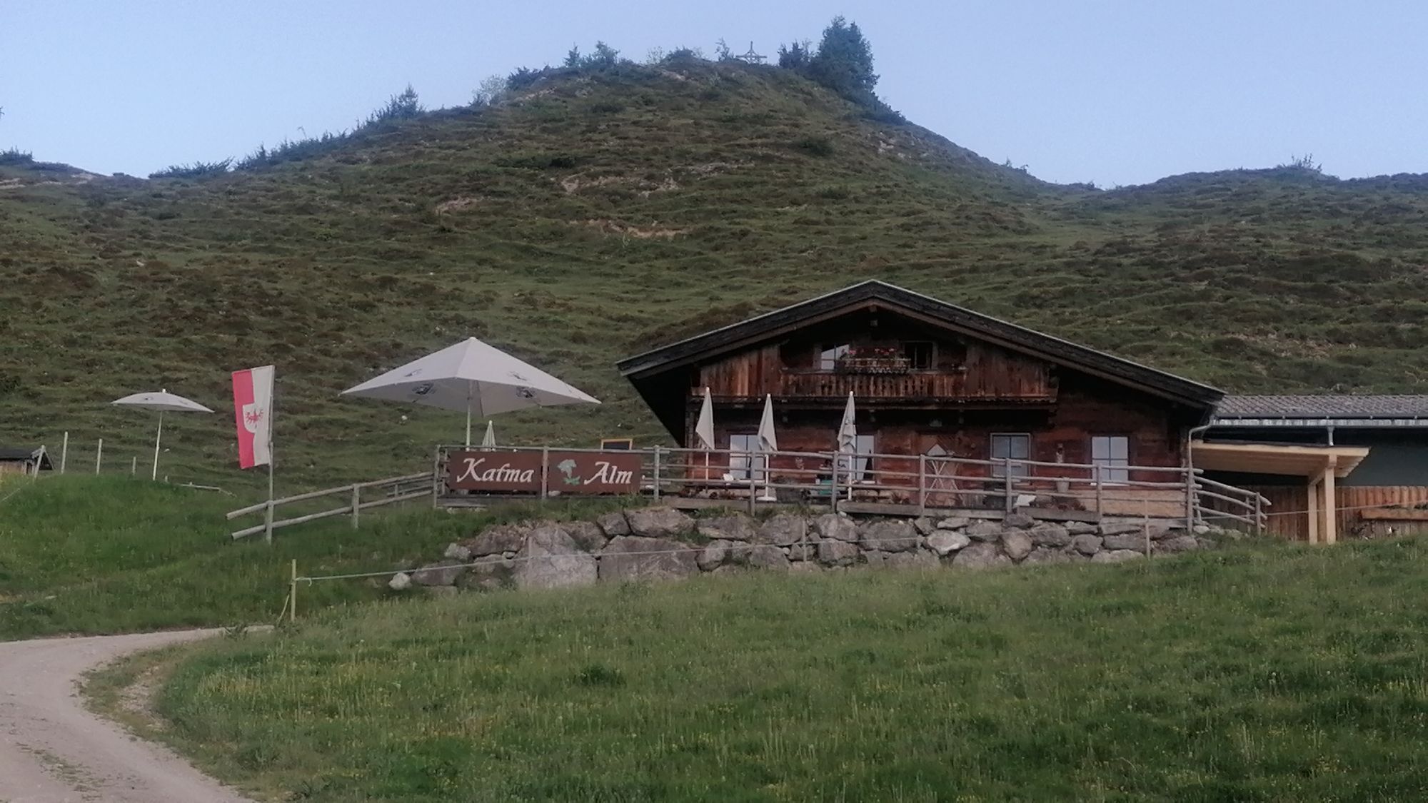
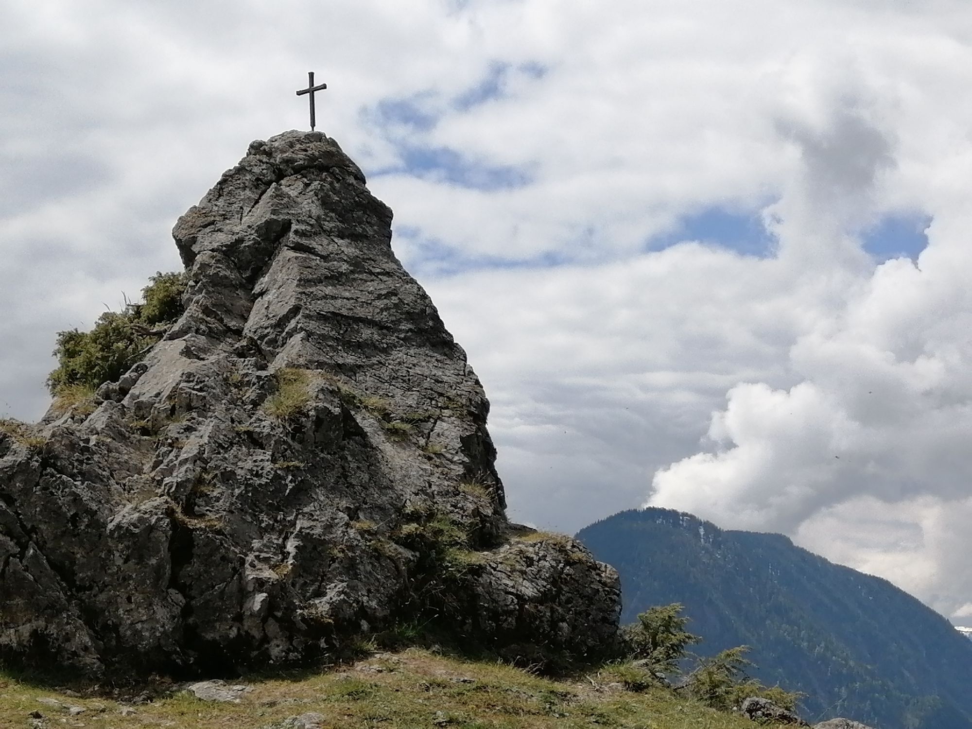
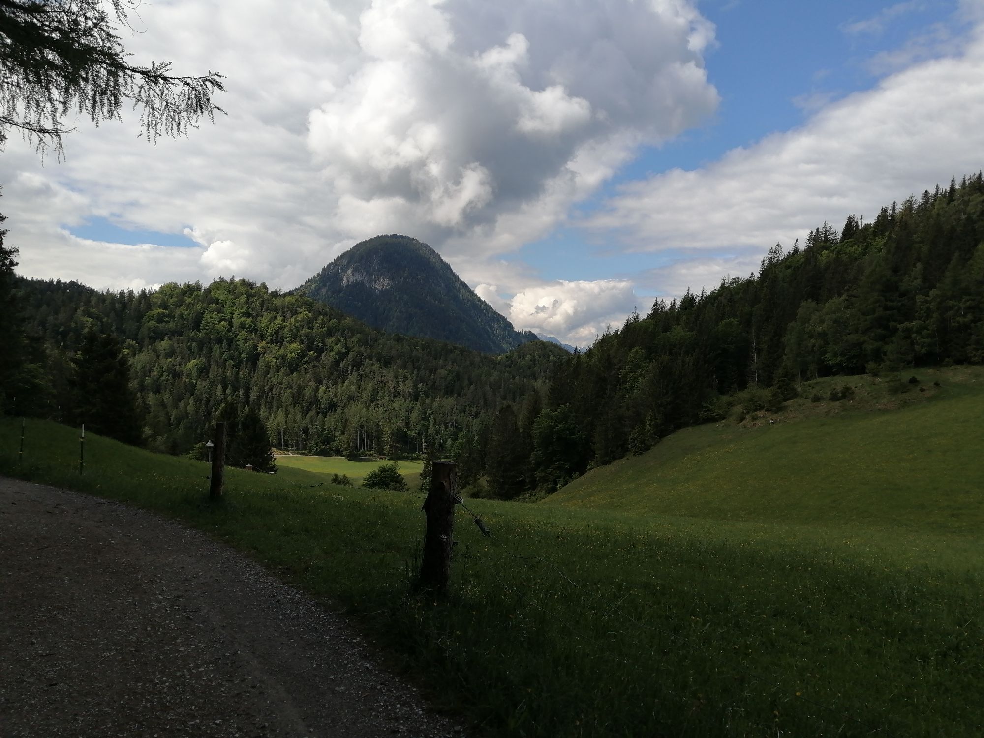
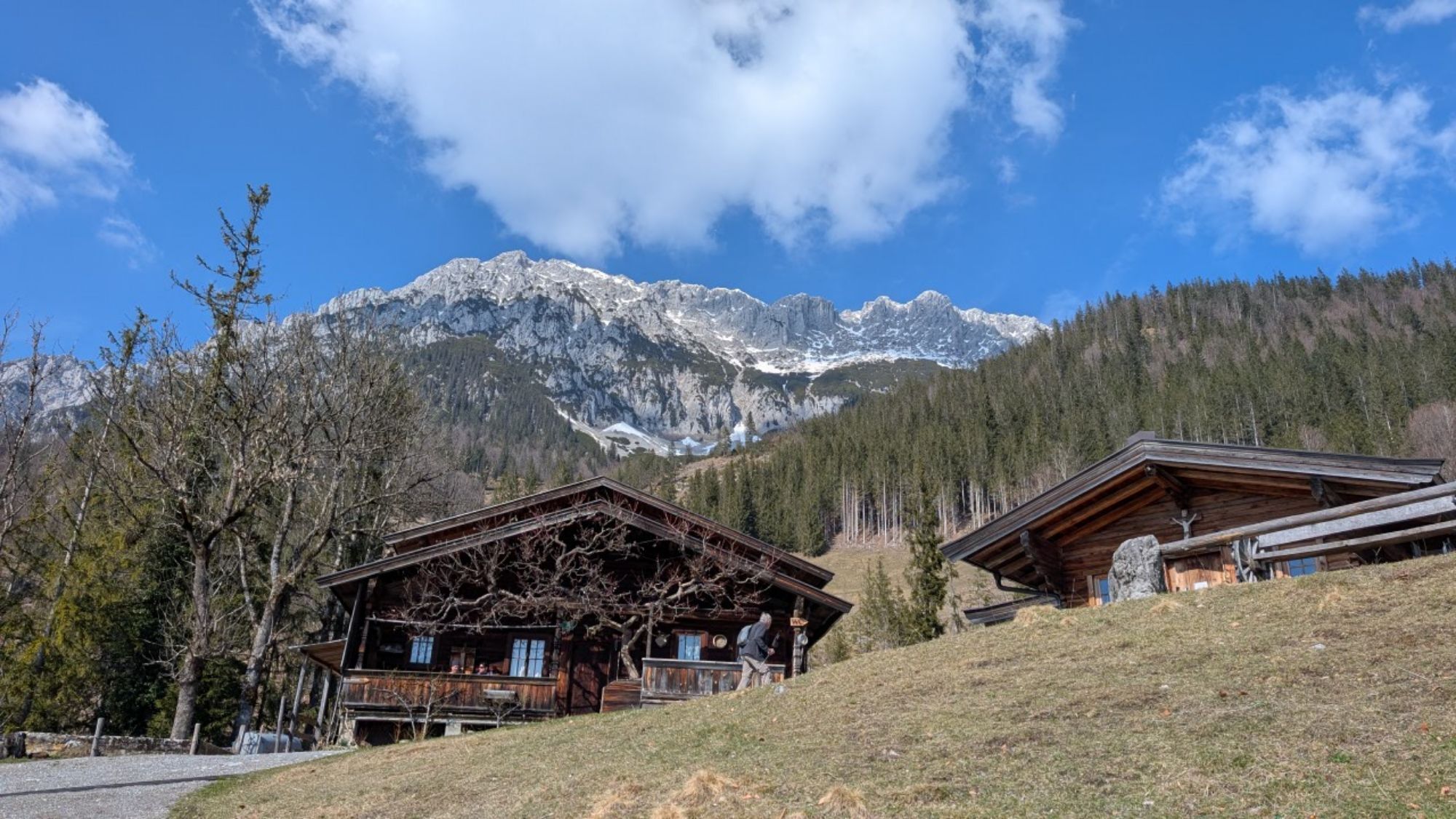
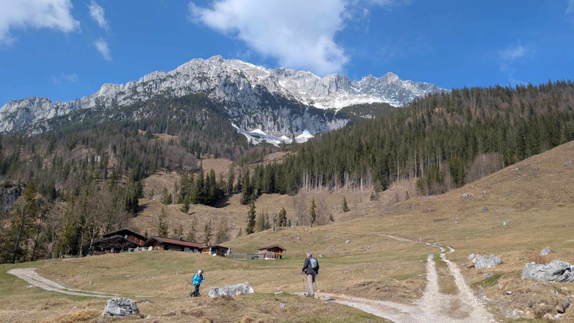
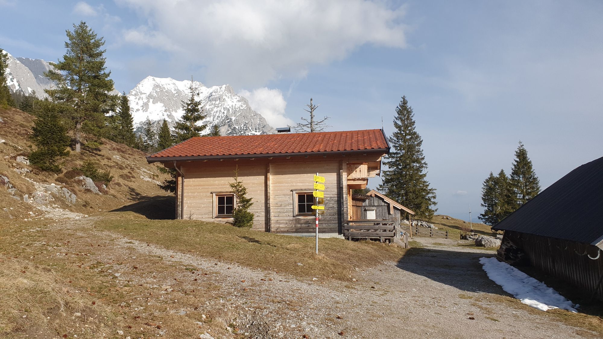
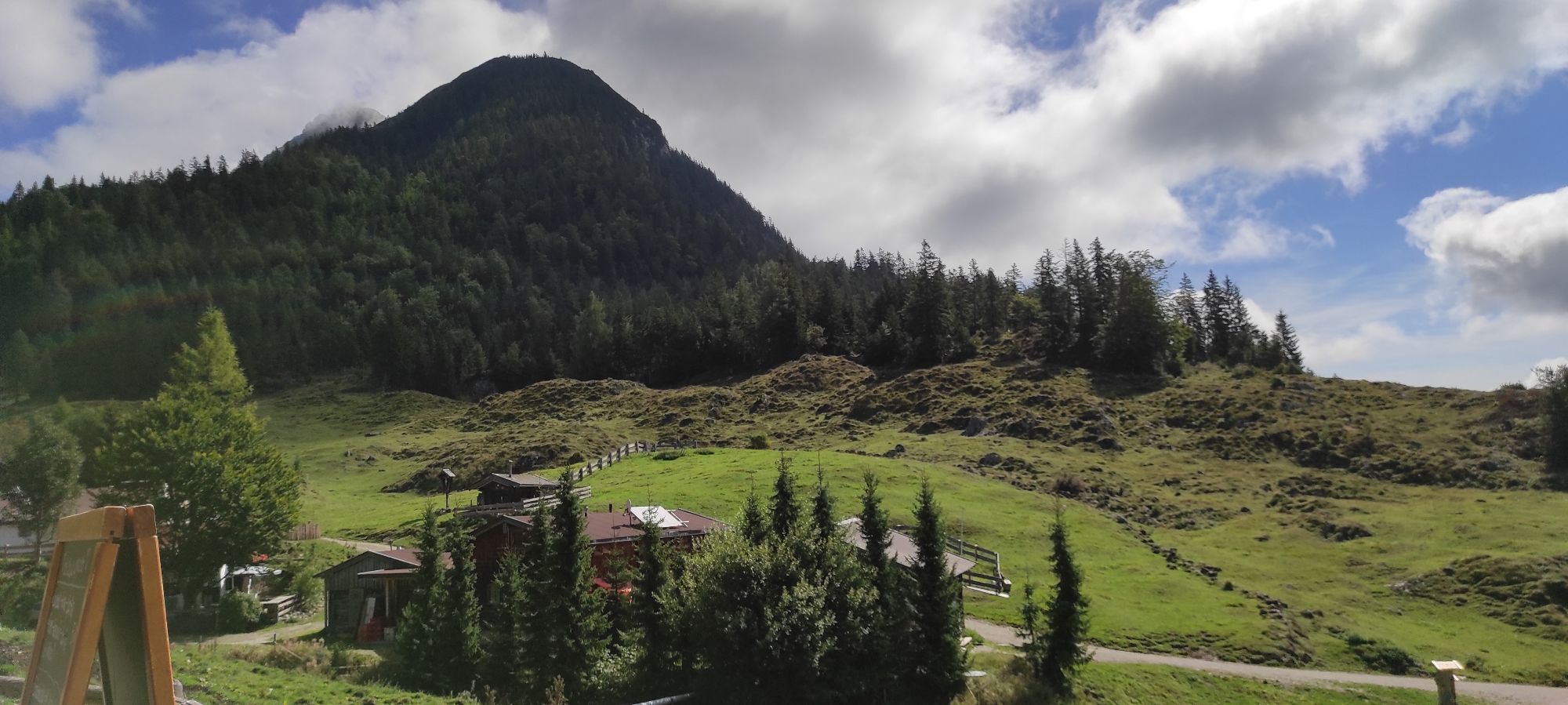
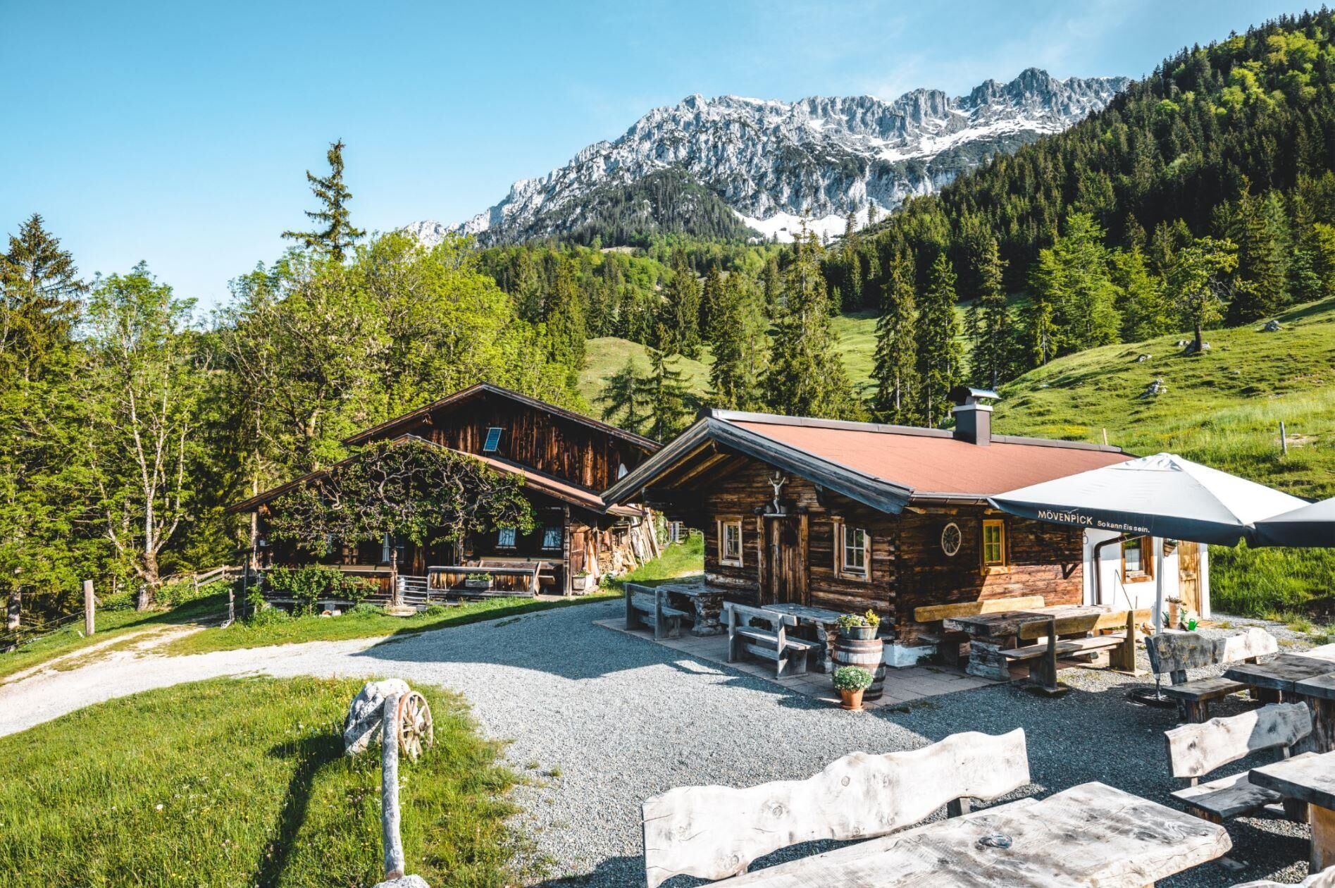
Behind the Pension Maier guesthouse, forest road 45 leads up a steep incline from the car park (pay & display) to the Walleralm, which is an Alpine hamlet at the foot of the Zettenkaiserkopf mountain. If you make the brief ascent to the Kreuzbichl summit, you will be rewarded with wonderful views. Alternatively, you can enjoy a refreshment stop at the Kafma Alm or Stöfflhütte mountain huts or at the Walleralm mountain inn.
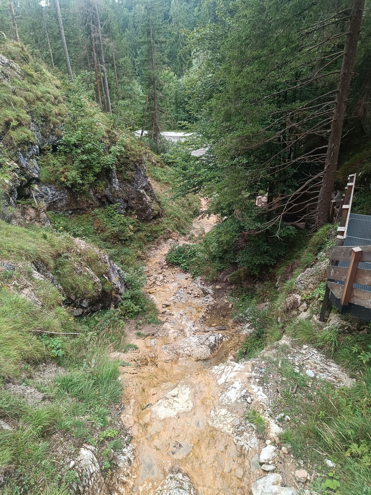
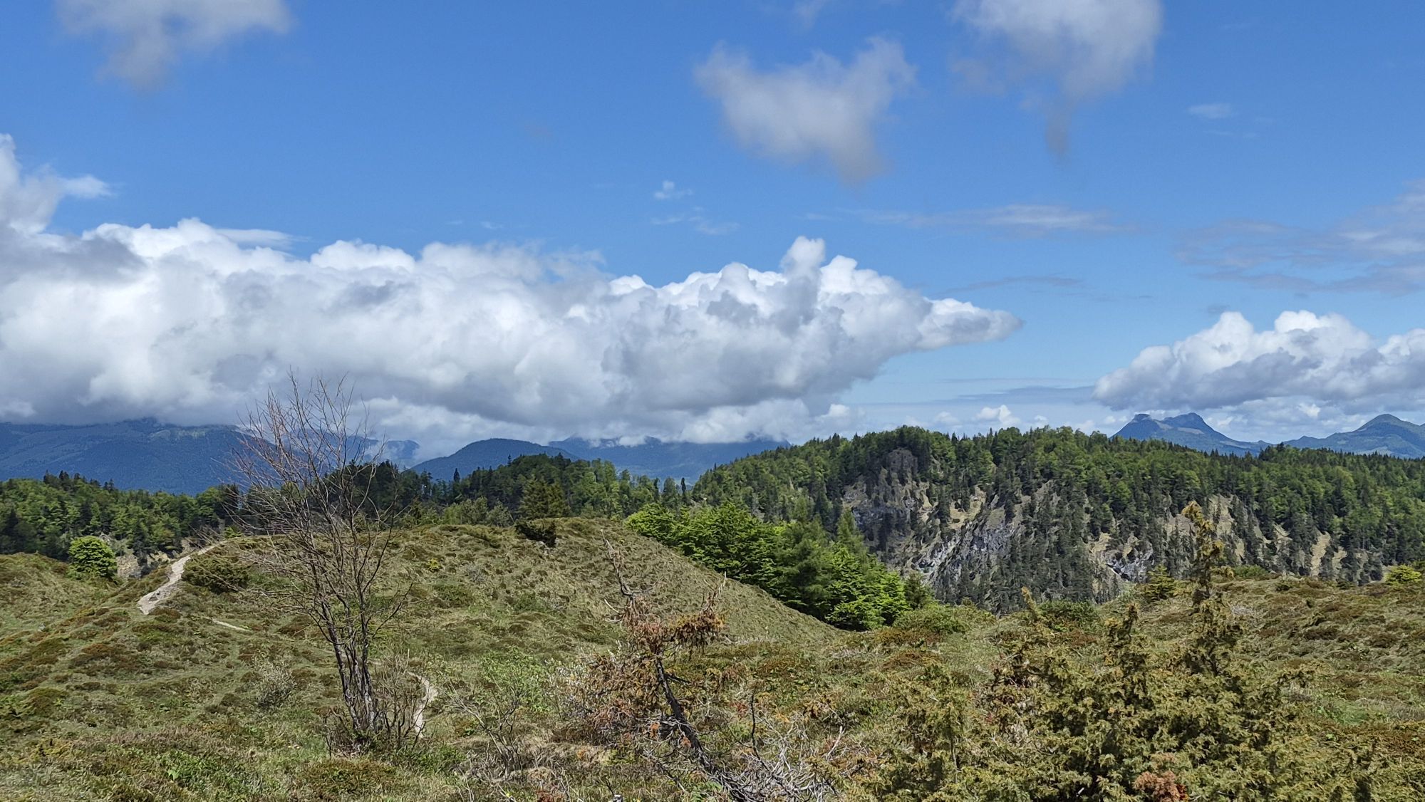
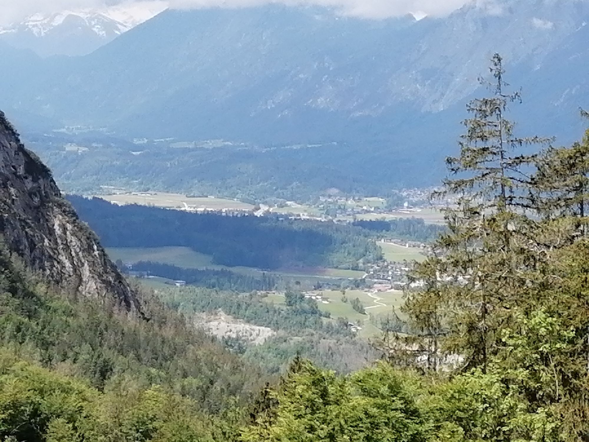
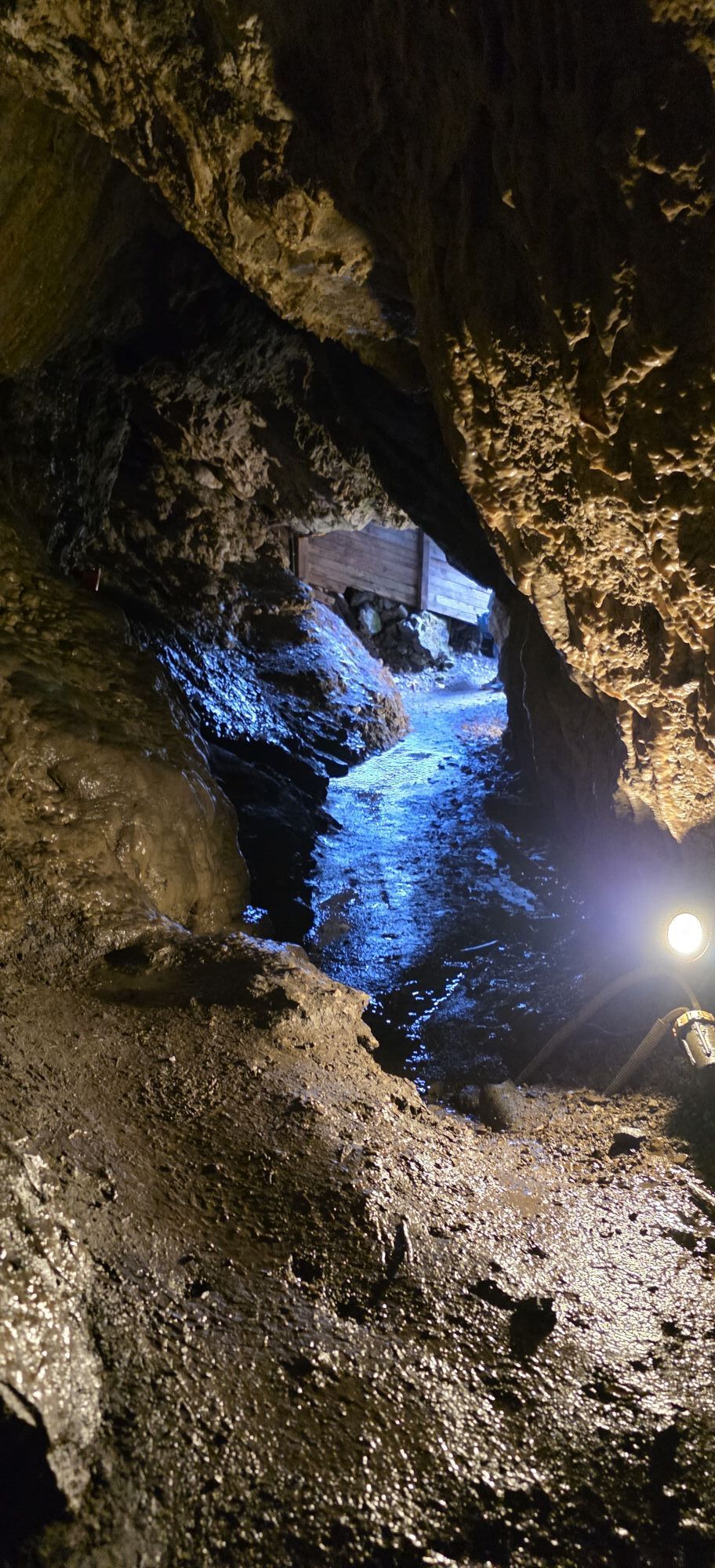
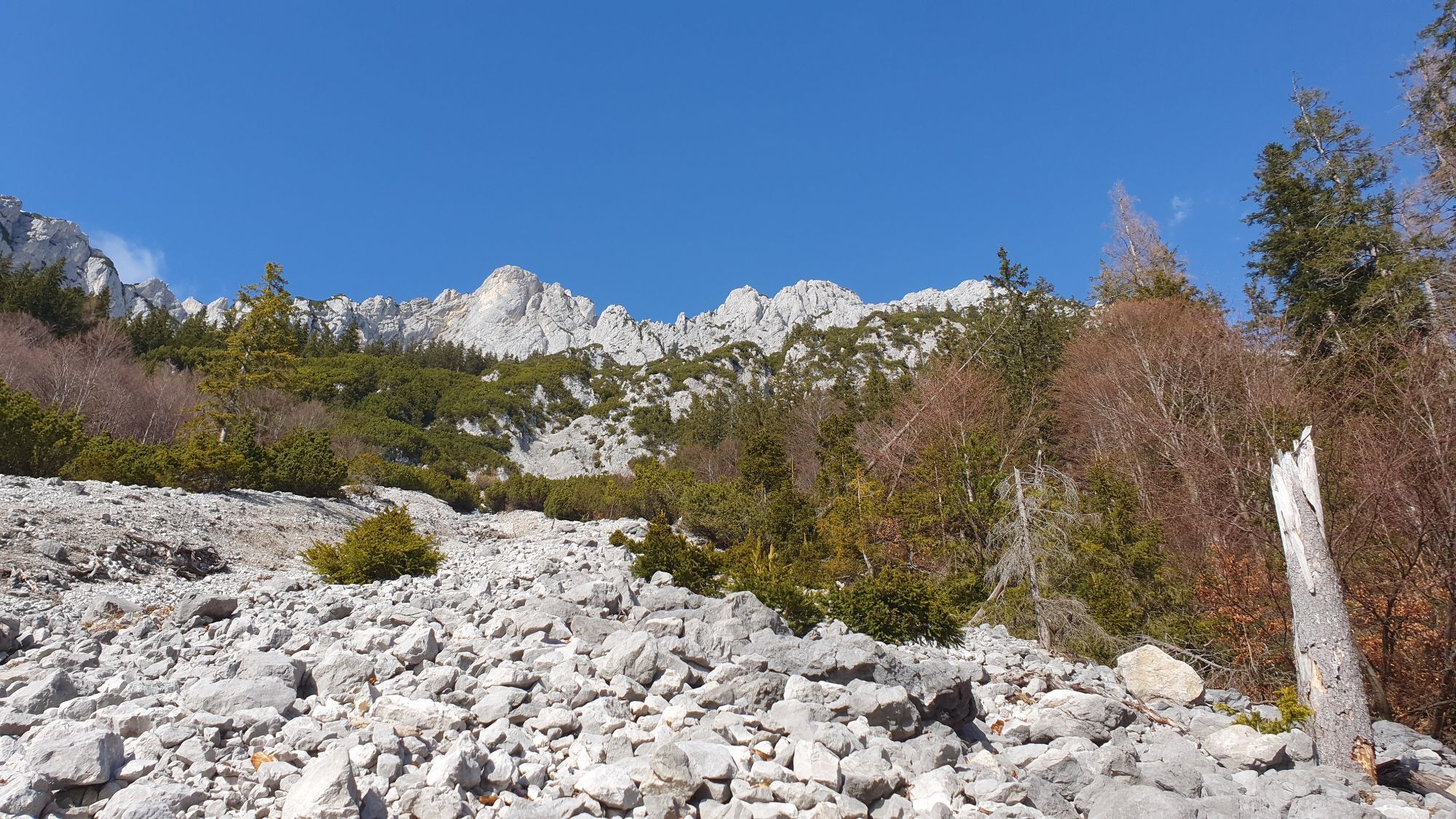
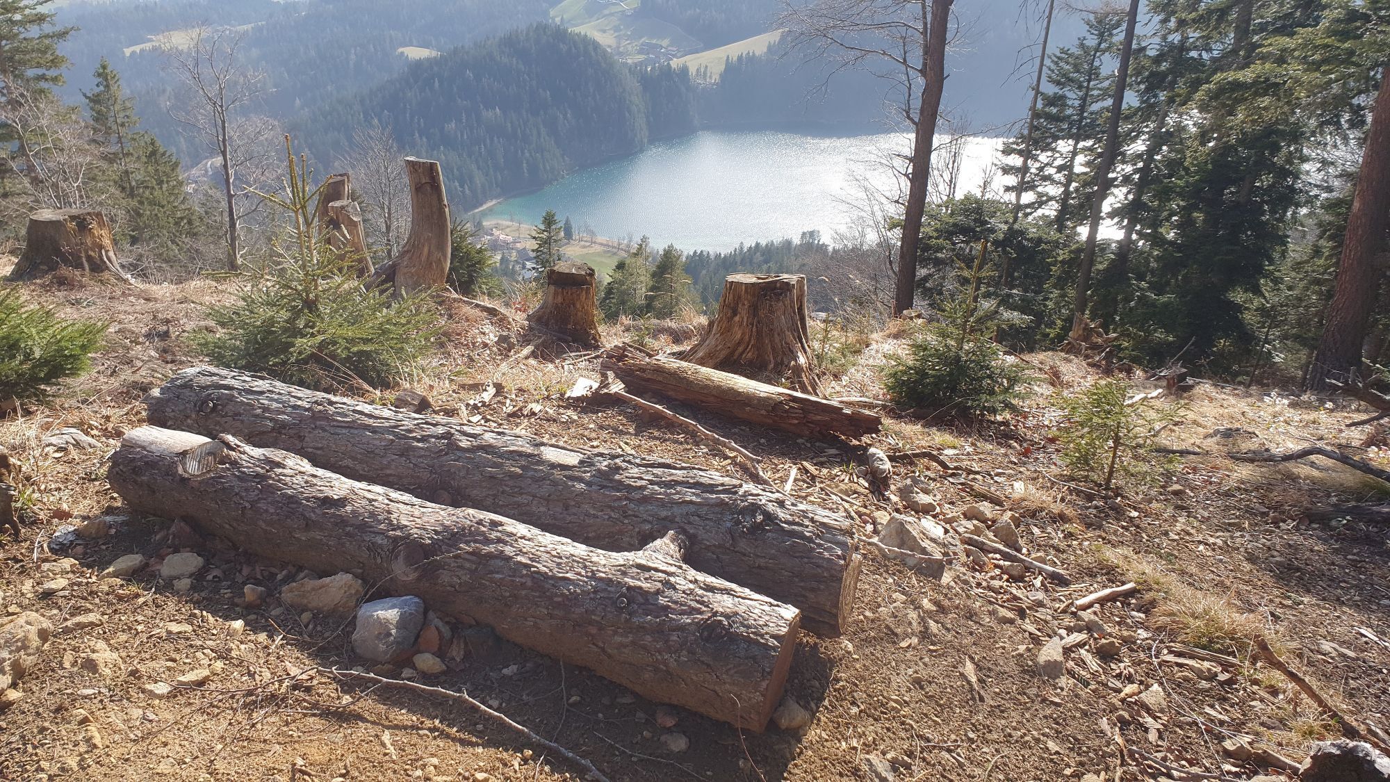
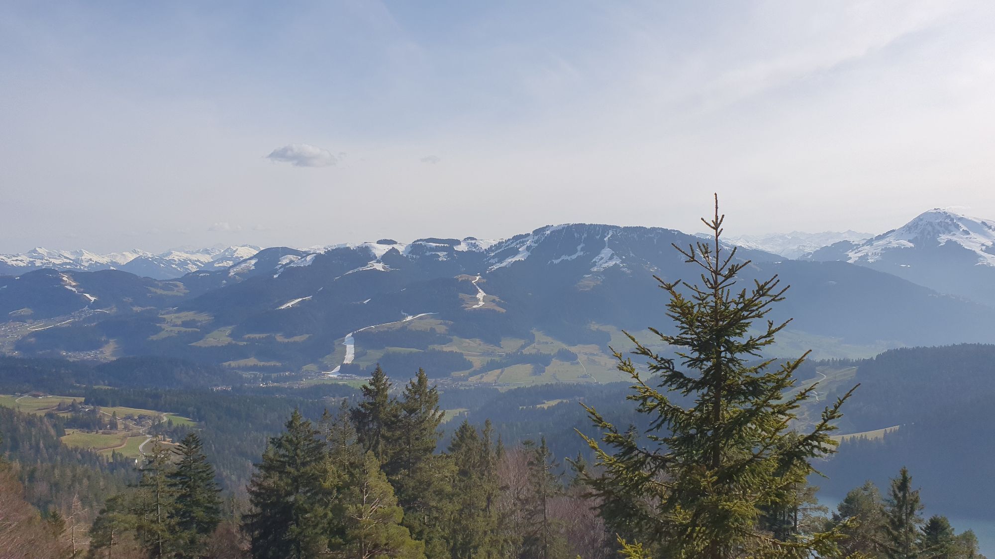
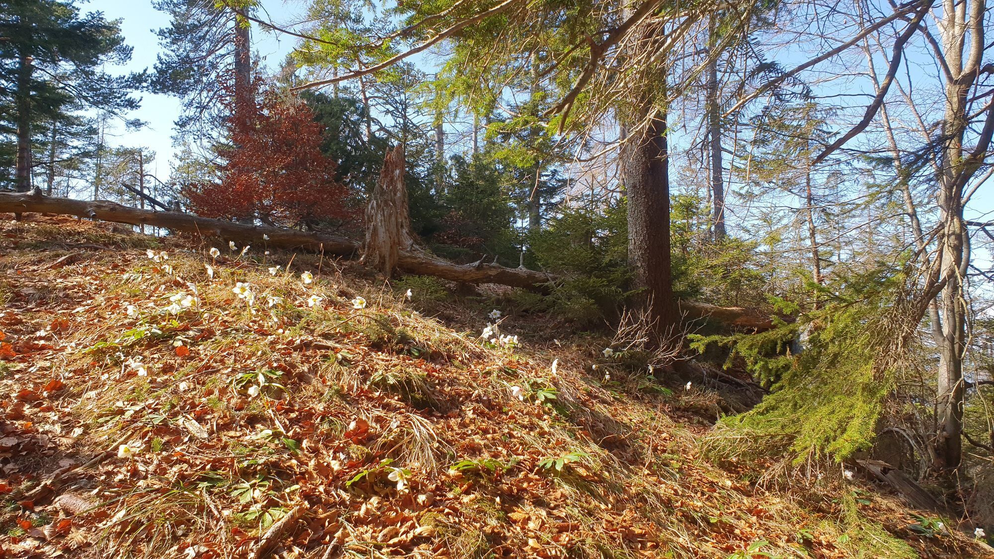
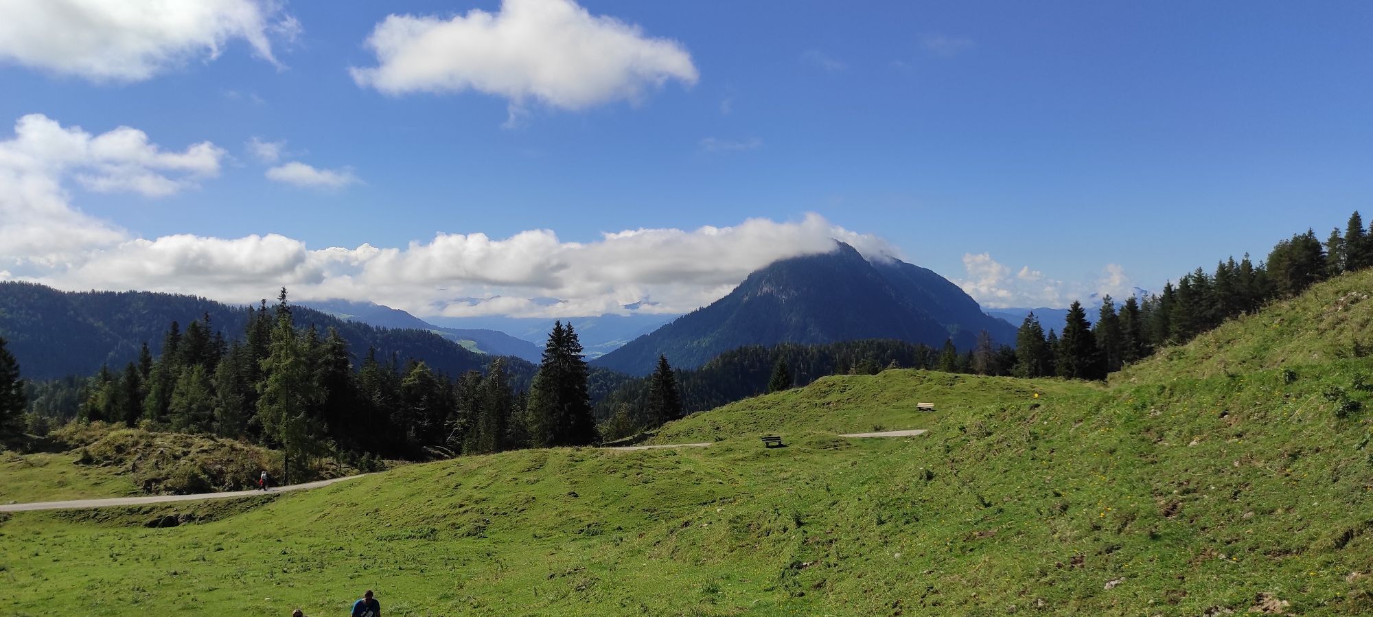
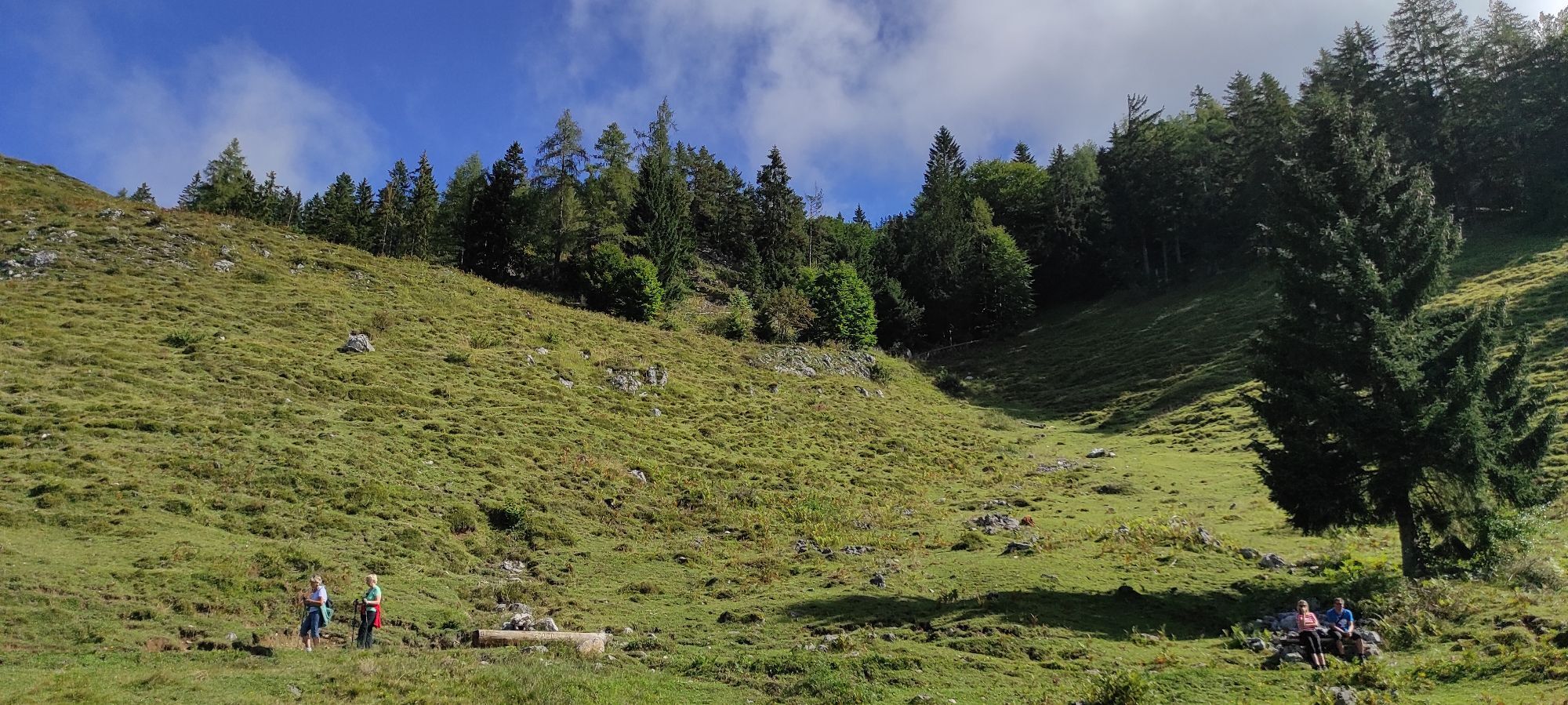
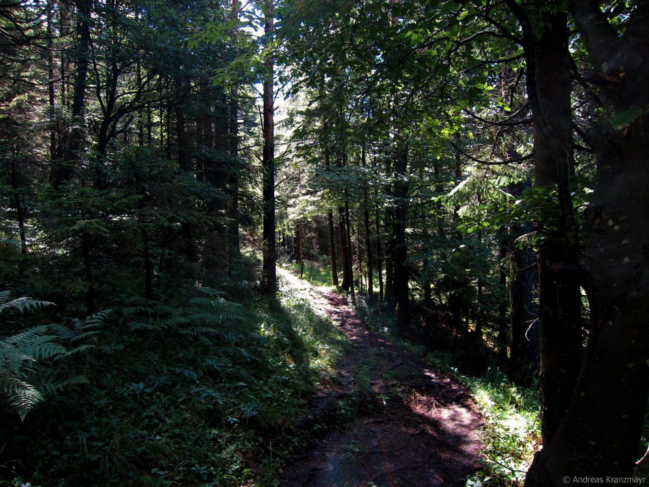
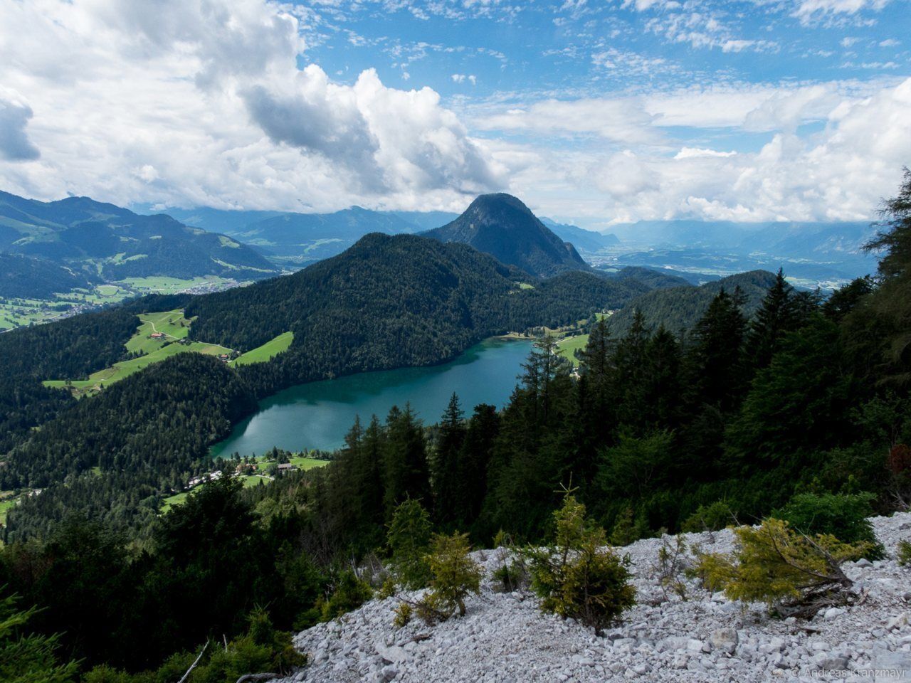
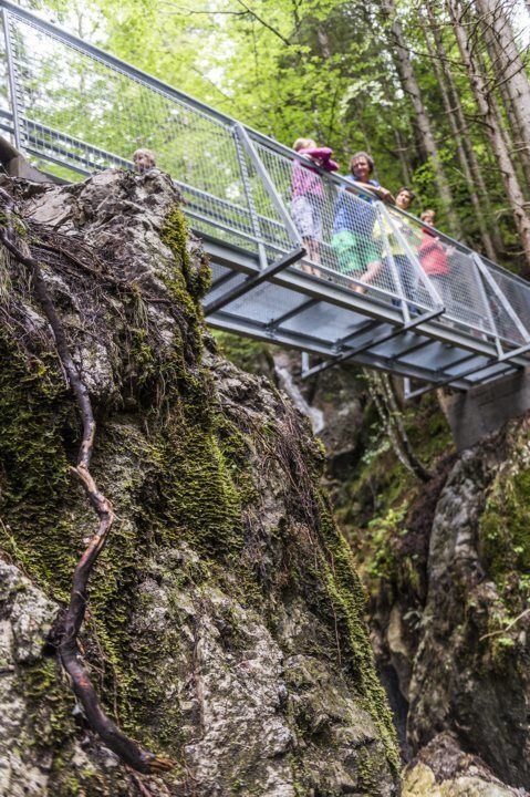
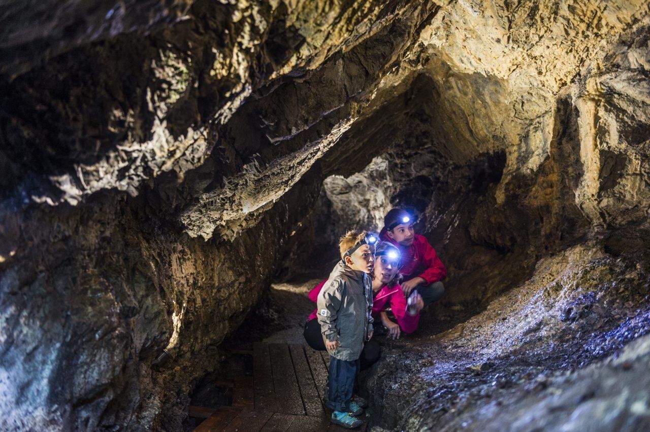
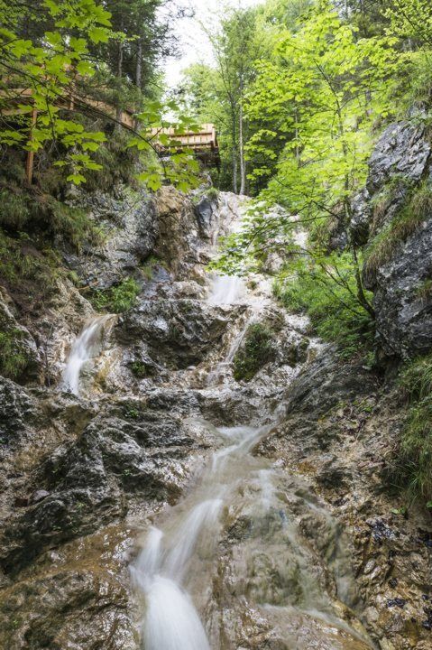
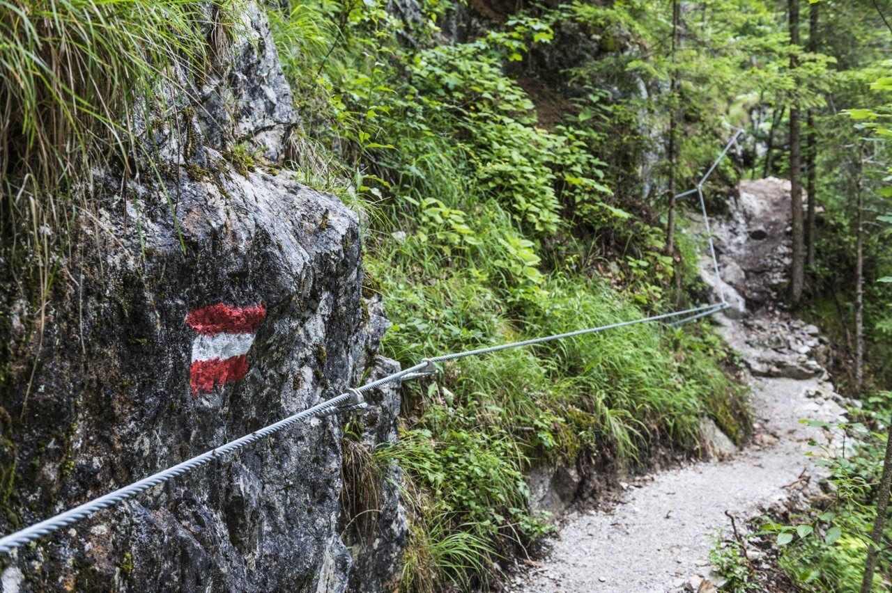
At the Walleralm, turn on to the Jagersteig trail 823 (Wilder-Kaiser-Steig trail). Walking largely through the cool forest and across clearings, you will be able to look over the Hintersteiner See lake as you head southeast to the Steiner-Hochalm (1,257 m). You should then continue via the Steiner-Niederalm to the Hinterschiessling Alm (1,020 m). You can savour the peace and quiet at the foot of the Scheffauer, enjoy the fantastic view over the Kitzbühel Alps and the Hohe Salve mountain and tuck into specialities made by the Steiner family using Angus beef from their farm. You should then head through the wonderful Rehbachklamm gorge, which features bridges, waterfalls and a cave in an old mining tunnel, as you traverse the valley on the way back to Scheffau.
The free “KaiserJet” bus for hikers brings you back to the starting point in Going. Find out when services are running.
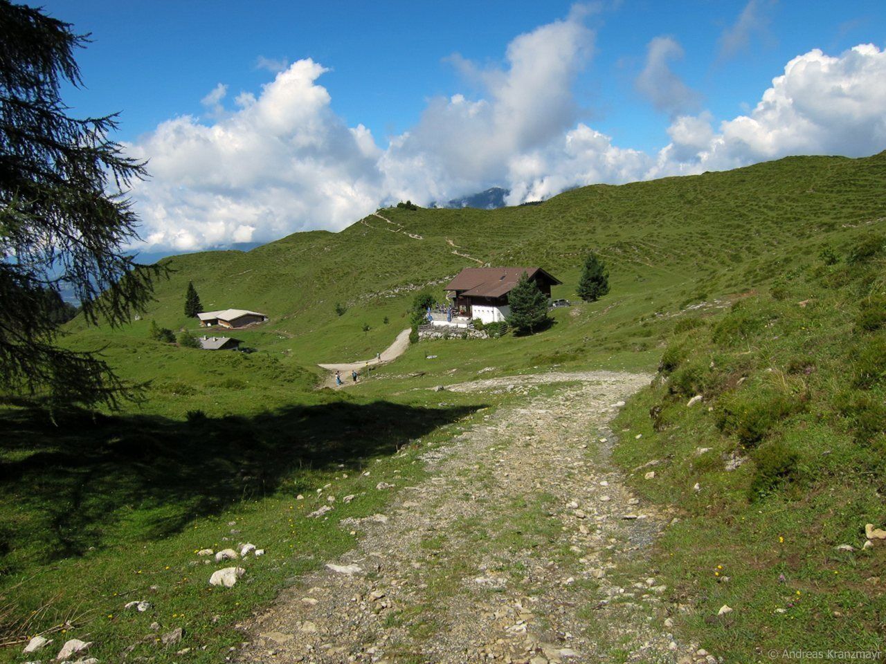


Experience nature in a picturesque setting, savour farmhouse delicacies and enjoy the wild water!
Behind the Pension Maier guesthouse, forest road 45 leads up a steep incline from the car park (pay & display) to the Walleralm, which is an Alpine hamlet at the foot of the Zettenkaiserkopf mountain. If you make the brief ascent to the Kreuzbichl summit, you will be rewarded with wonderful views. Alternatively, you can enjoy a refreshment stop at the Stöfflhütte mountain hut or at the Walleralm mountain inn.
At the Walleralm, turn on to the Jagersteig trail 823 (Wilder-Kaiser-Steig trail). Walking largely through the cool forest and across clearings, you will be able to look over the Hintersteiner See lake as you head southeast to the Steiner-Hochalm (1,257 m). You should then continue via the Steiner-Niederalm to the Hinterschiesslingalm (1,020 m). You can savour the peace and quiet at the foot of the Scheffauer, enjoy the fantastic view over the Kitzbühel Alps and the Hohe Salve mountain and tuck into specialities made by the Steiner family using Angus beef from their farm. You should then head through the wonderful Rehbachklamm gorge, which features bridges, waterfalls and a cave in an old mining tunnel, as you traverse the valley on the way back to Scheffau.
The free “KaiserJet” bus for hikers and bathers brings you back to the starting point in Going. To find out when services are running, read the information at the bus stop next to the church or visit www.wilderkaiser.info/en/summer-holiday/destination-tyrol/3-tage-huettenwanderung/
Wilder Kaiser hiking map (1:25.000) is available in the tourist information centres Ellmau, Going, Scheffau and Söll for € 6,90 or with Wilder Kaiser GuestCard for € 6,-.
Additions for overnight stay at mountain hut:
Mountain hut sleeping bag, indoor shoes, toiletries and towel, personal medication, headlamp, Alpine Club ID Card, cash, charger for mobile phone
The hiking routes between the huts are often rather long, we recommend taking plenty of food and drink and booking your overnight stays well in advance.
From the village of Scheffau, the free “KaiserJet” bus for hikers and bathers brings you back to the starting point in Going.
More information at: www.wilderkaiser.info/mobility
Kamery internetowe z trasy



Popularne wycieczki w okolicy
-
4,9
Kirchdorf: Kaiserbachtal - Stripsenkopf und Feldberg
ciężkiWędrówka 12,6 km -
4,9
Schleierwasserfall Runde
średniWędrówka 5,63 km -
4,9
Gruttenhütte über Klammlweg
średniWędrówka 5,61 km -
4,9
Route 209: Brechhornhaus-Choralpe
ciężkiMountainbike 24,4 km -
5,0
Kirchdorf: Stripsenjoch Klettersteige
ciężkiVia ferrata 3,76 km -
4,8
Rehbachklamm
średniWędrówka 7,27 km -
4,8
Stripsenjoch Klettersteige/ Rundwanderung von Griesener Alm über Stripsenjochhaus und Feldberg
średniVia ferrata 10,2 km -
4,8
Ellmauer Tor (22.07.2020)
średniWędrówka 9,32 km -
4,7
Musikantensteig zur Naunspitze
średniWędrówka 8,96 km -
4,7
Hintersteinersee
średniWędrówka 9,87 km
Wędrówki i tropienie


Nie przegap ofert i inspiracji na następne wakacje
Twój adres e-mail została dodana do listy mailingowej.





