






Kaiserkrone - stage 5

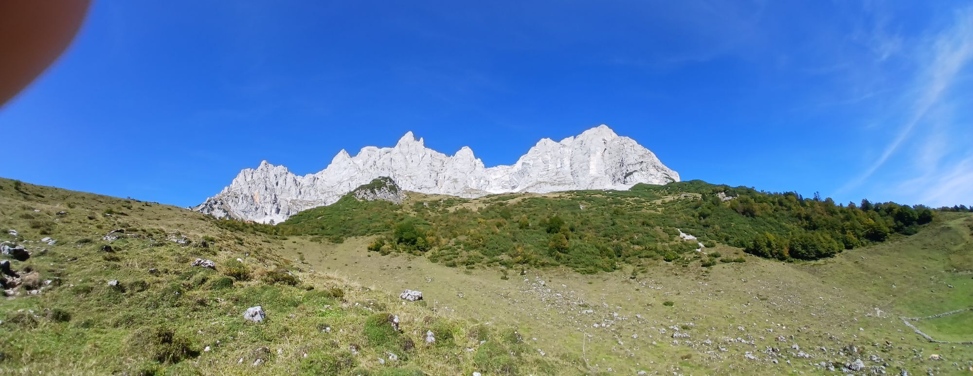
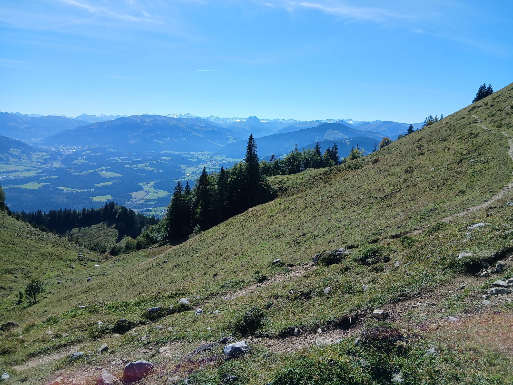
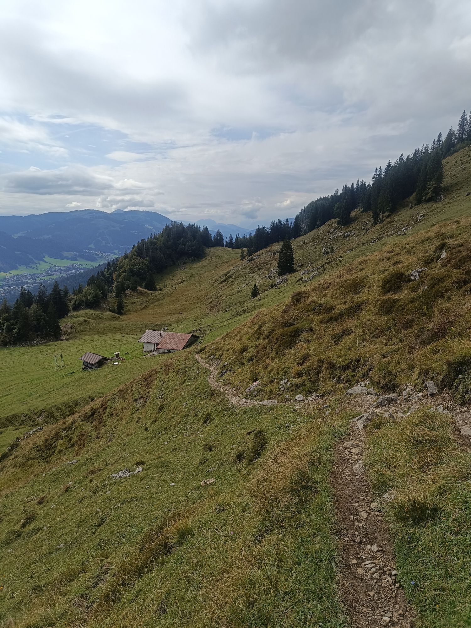
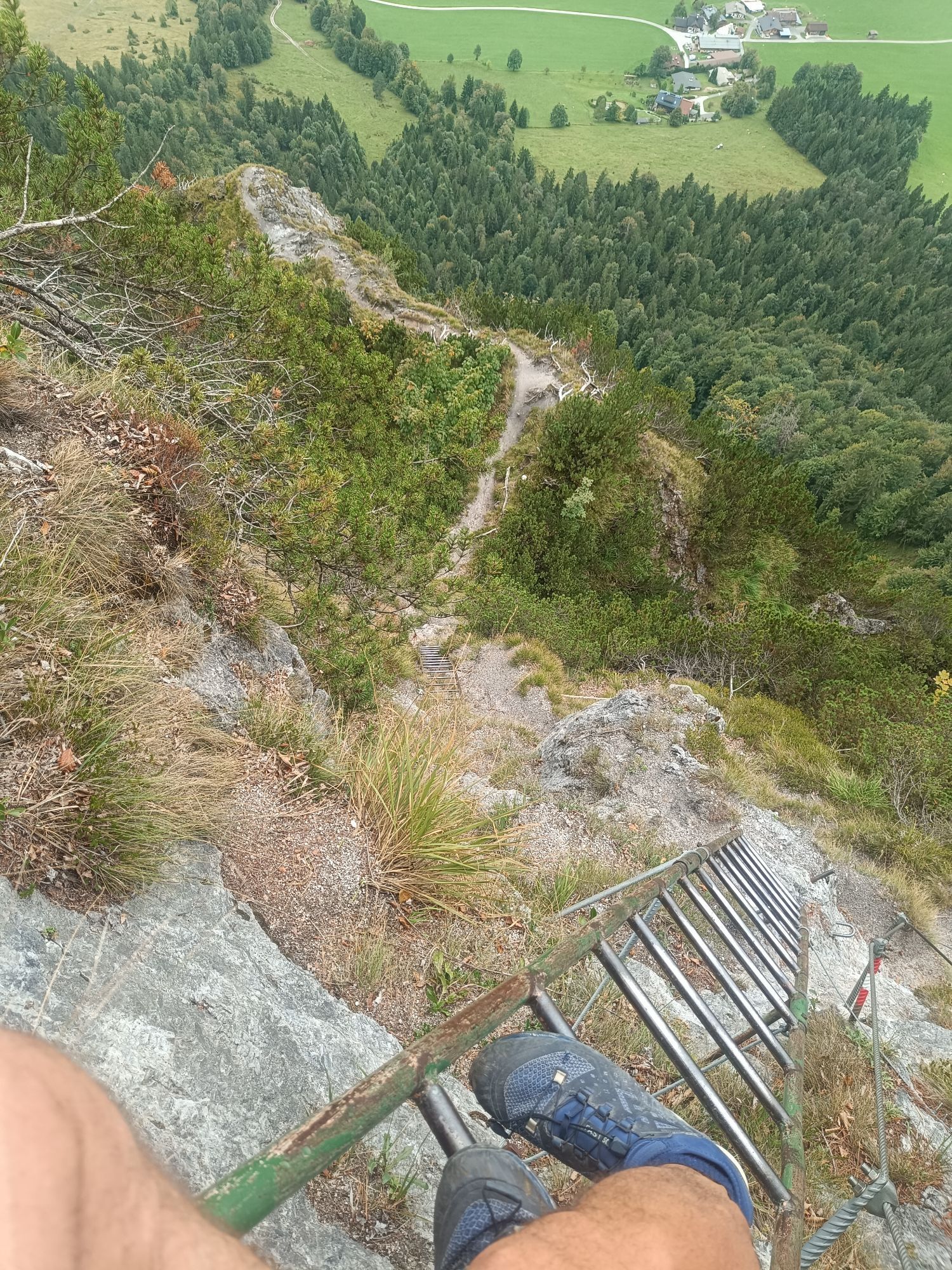
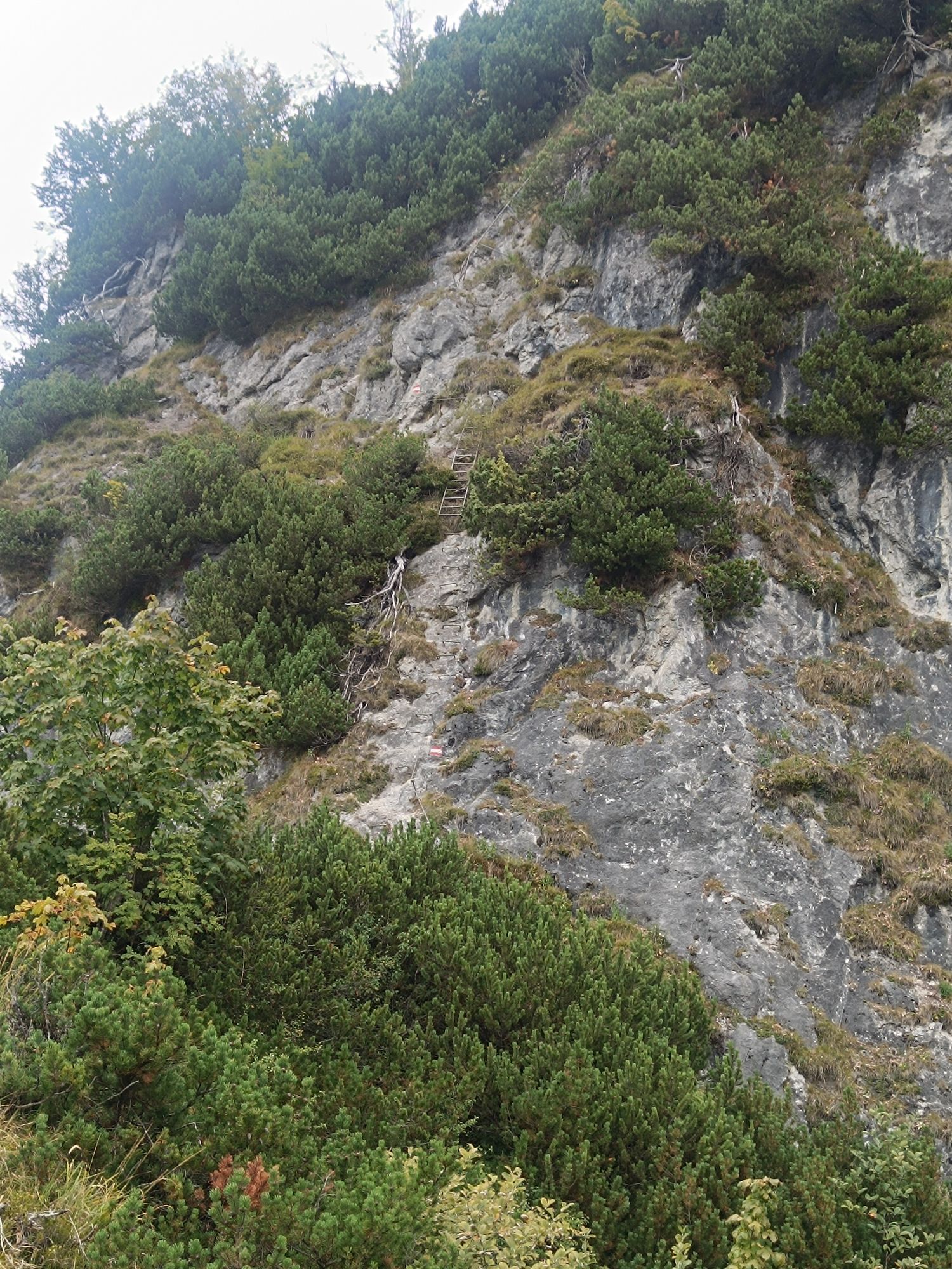
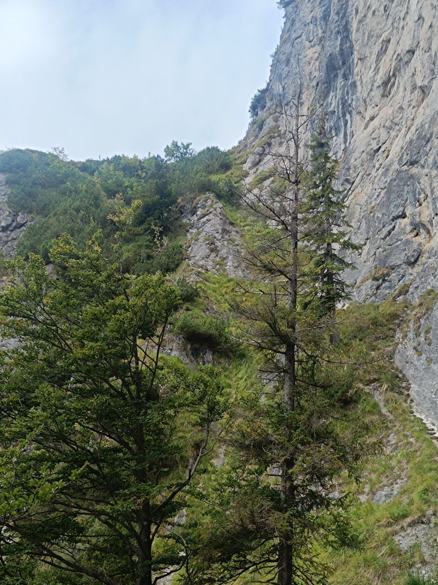
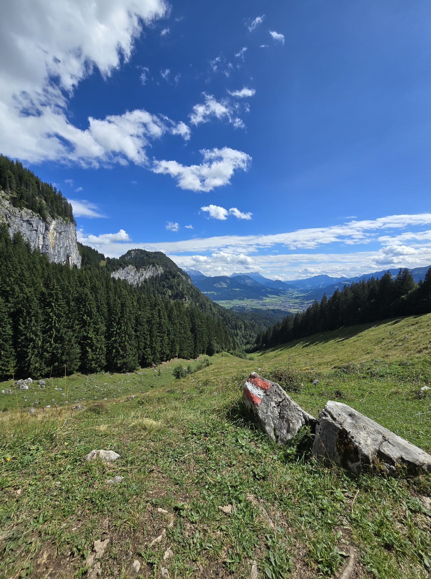
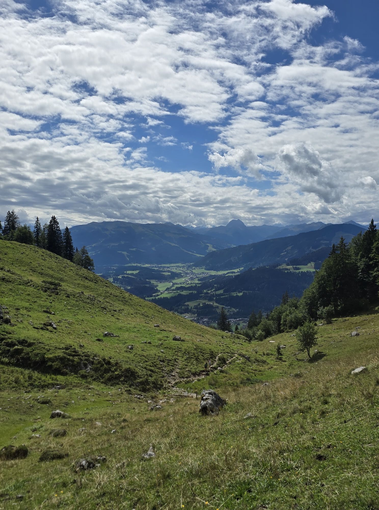
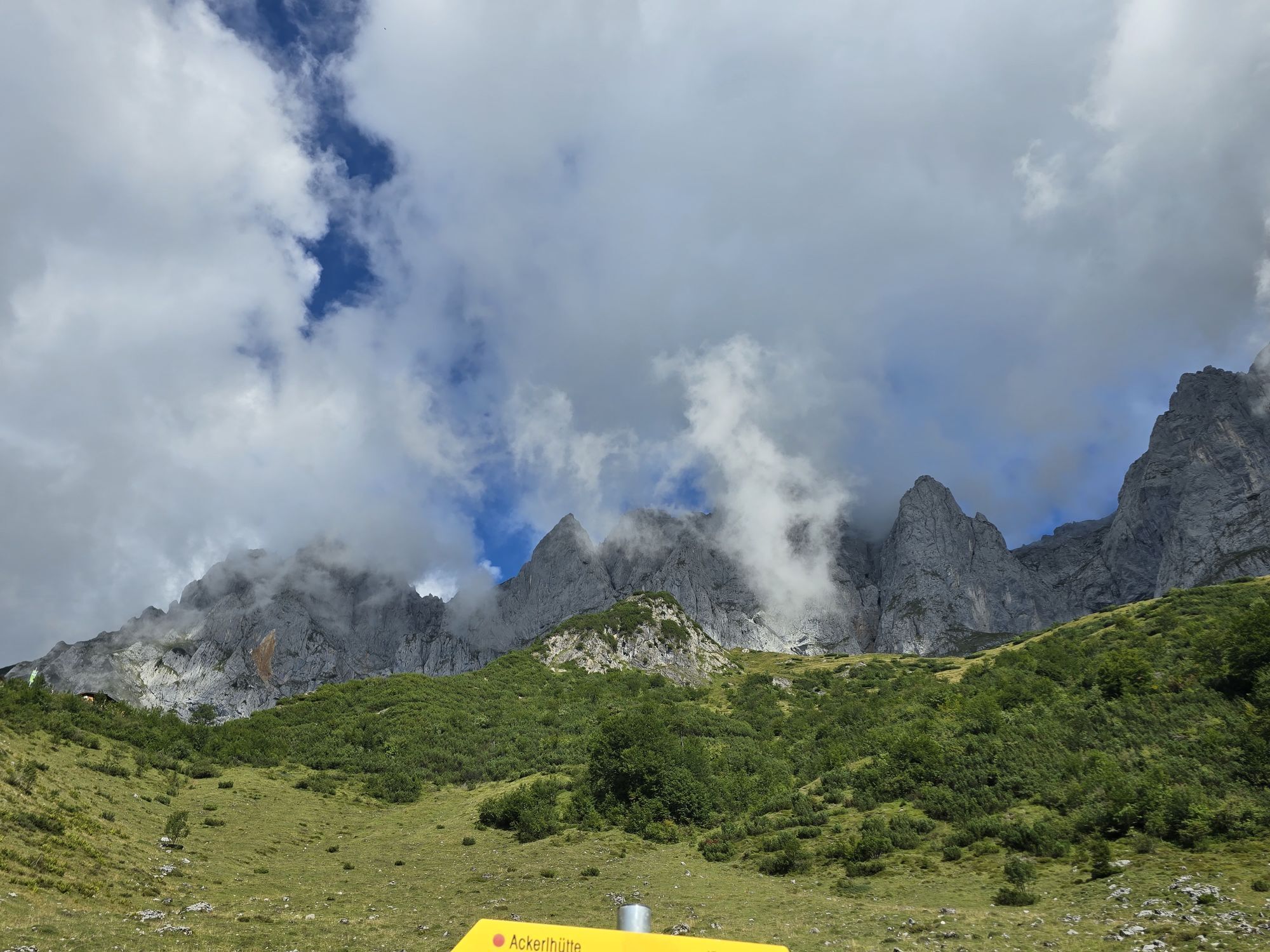
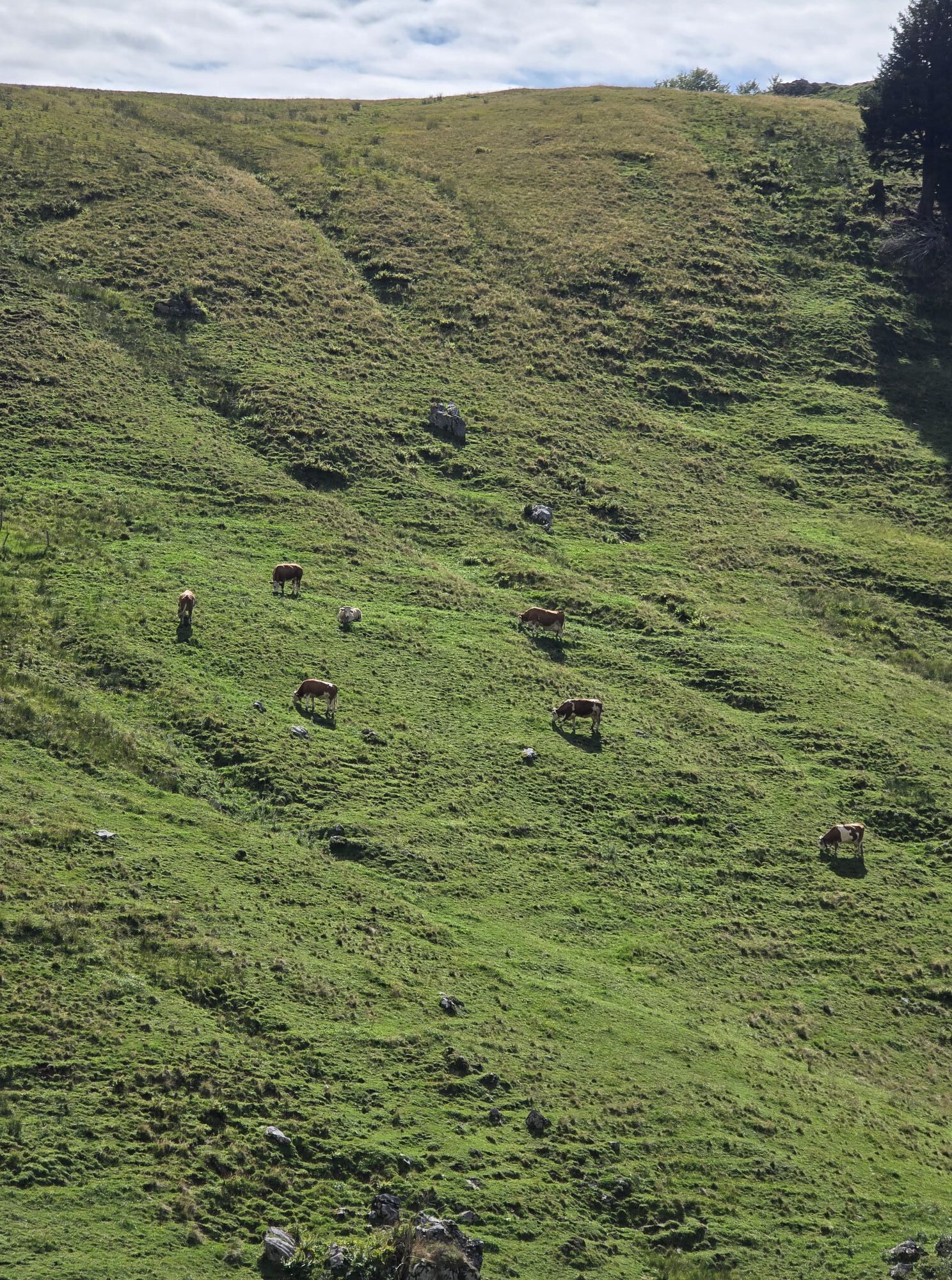
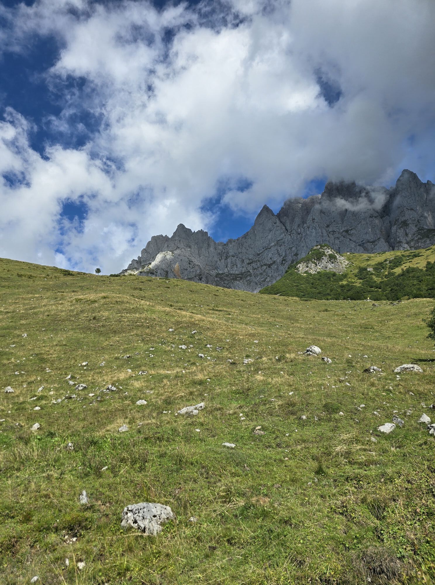
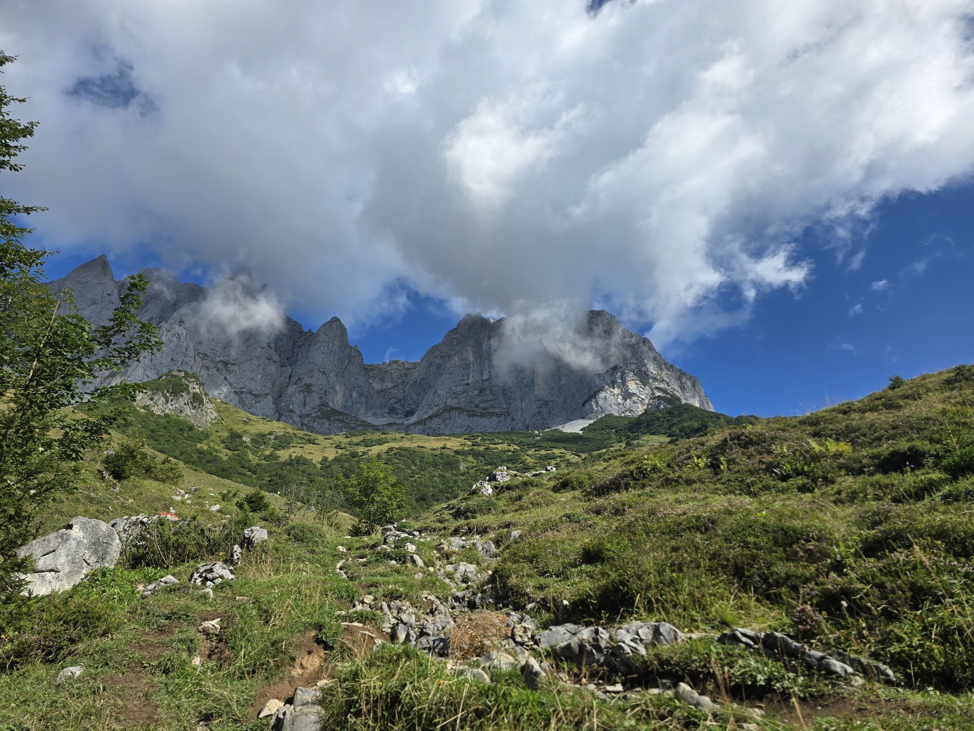
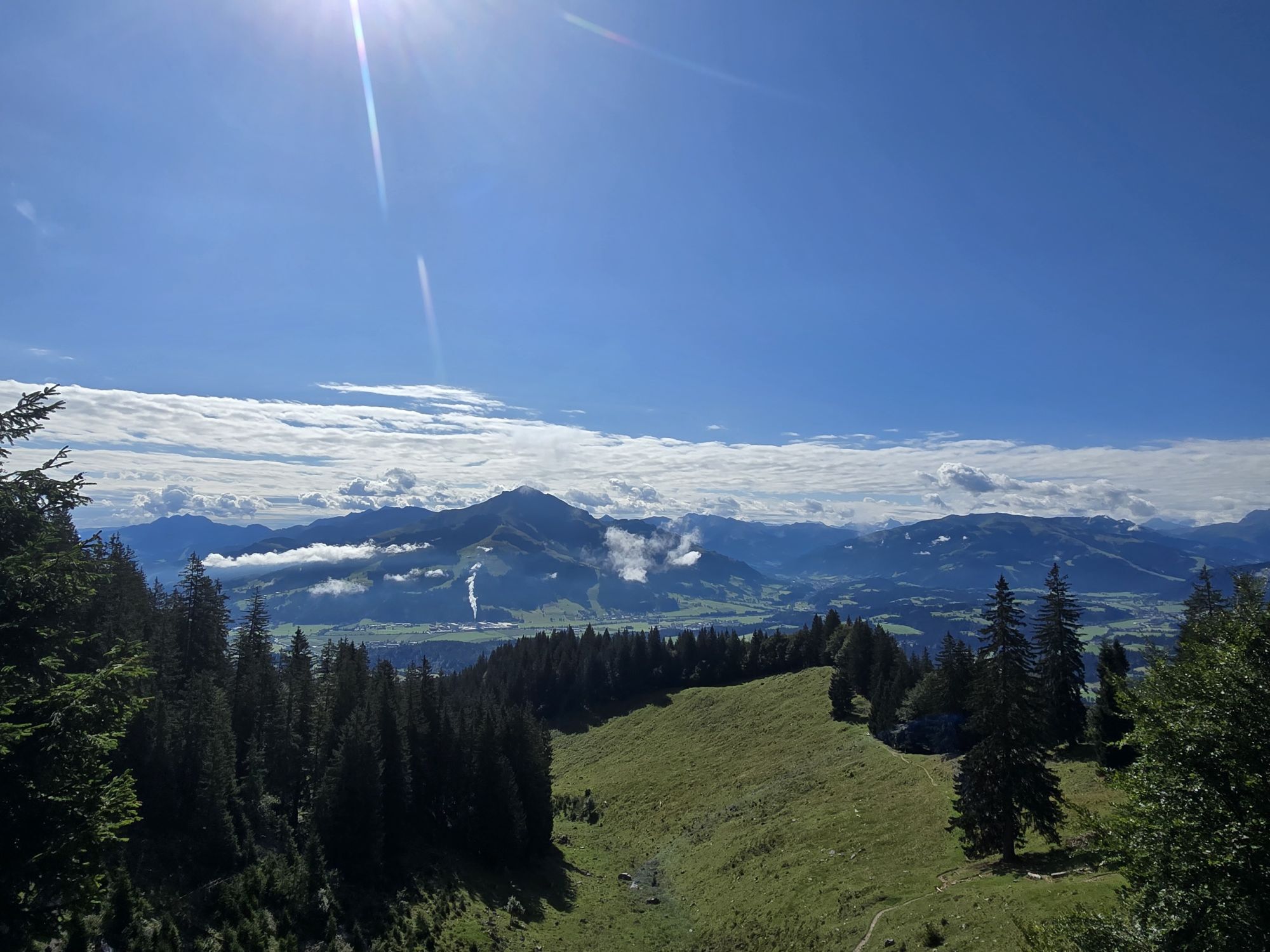
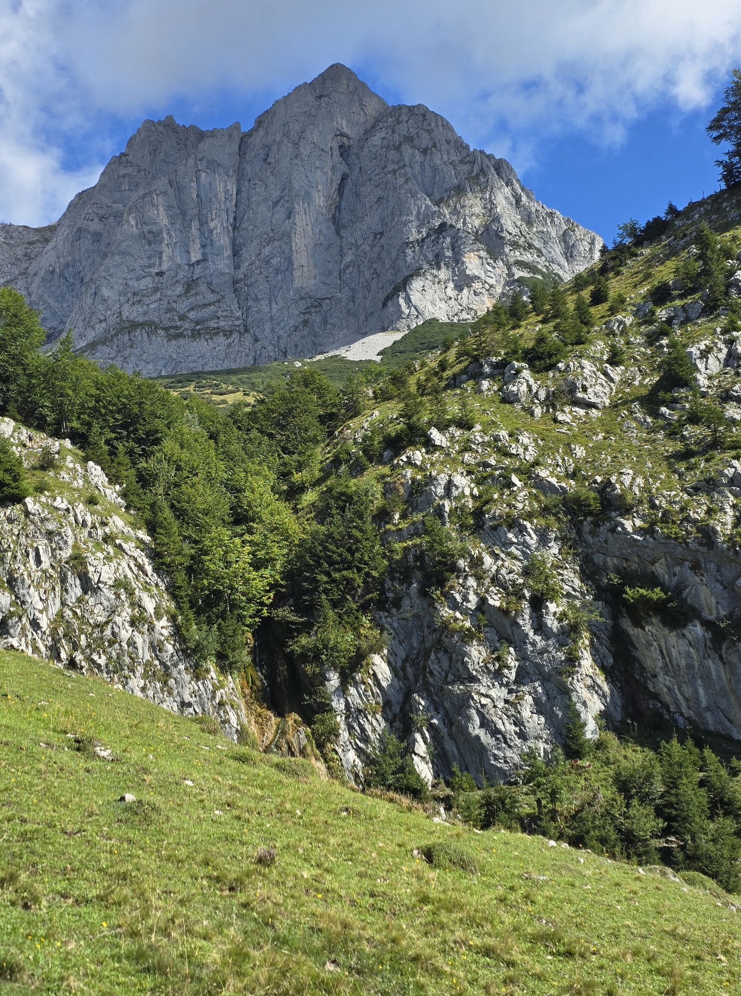
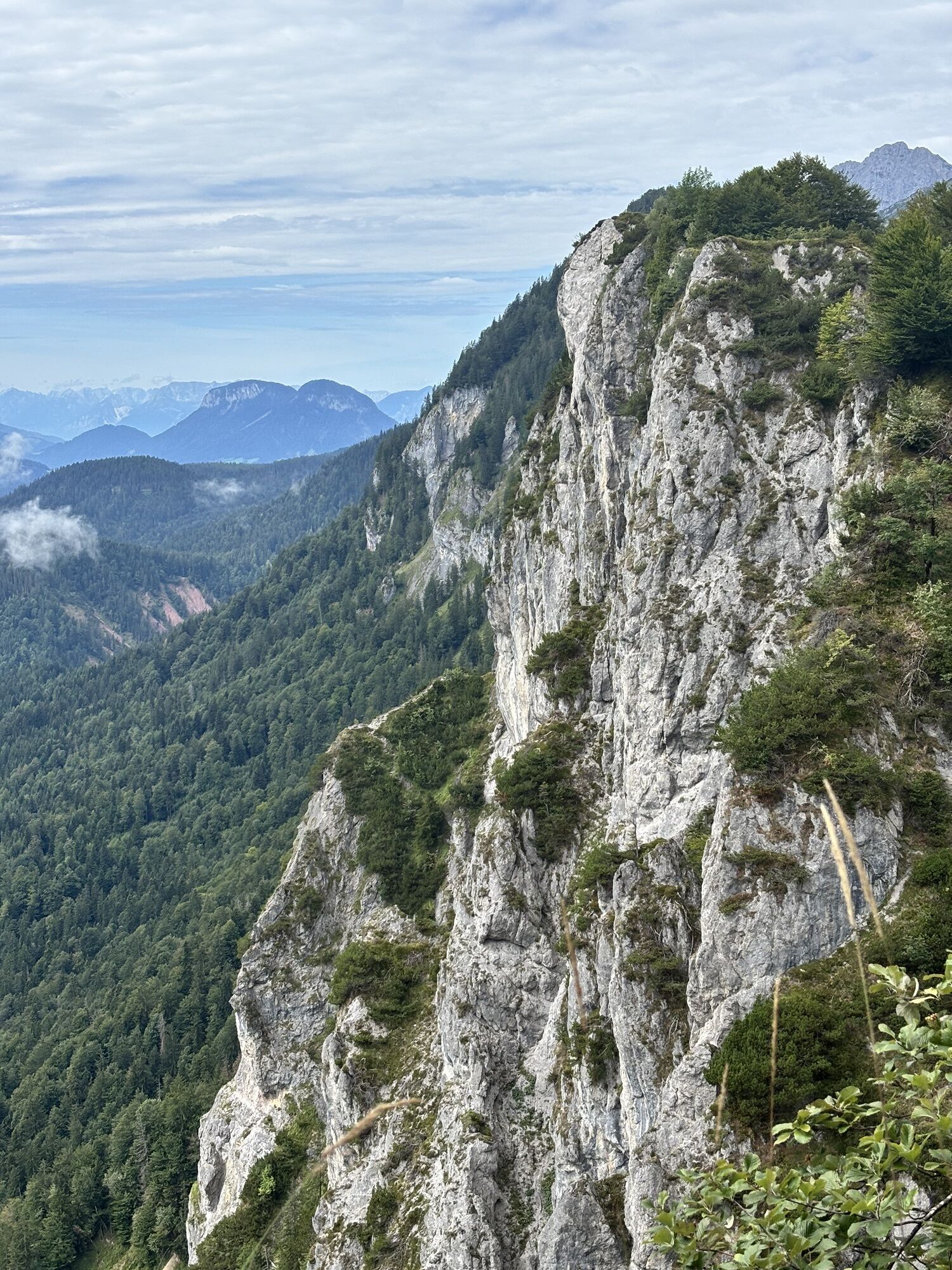
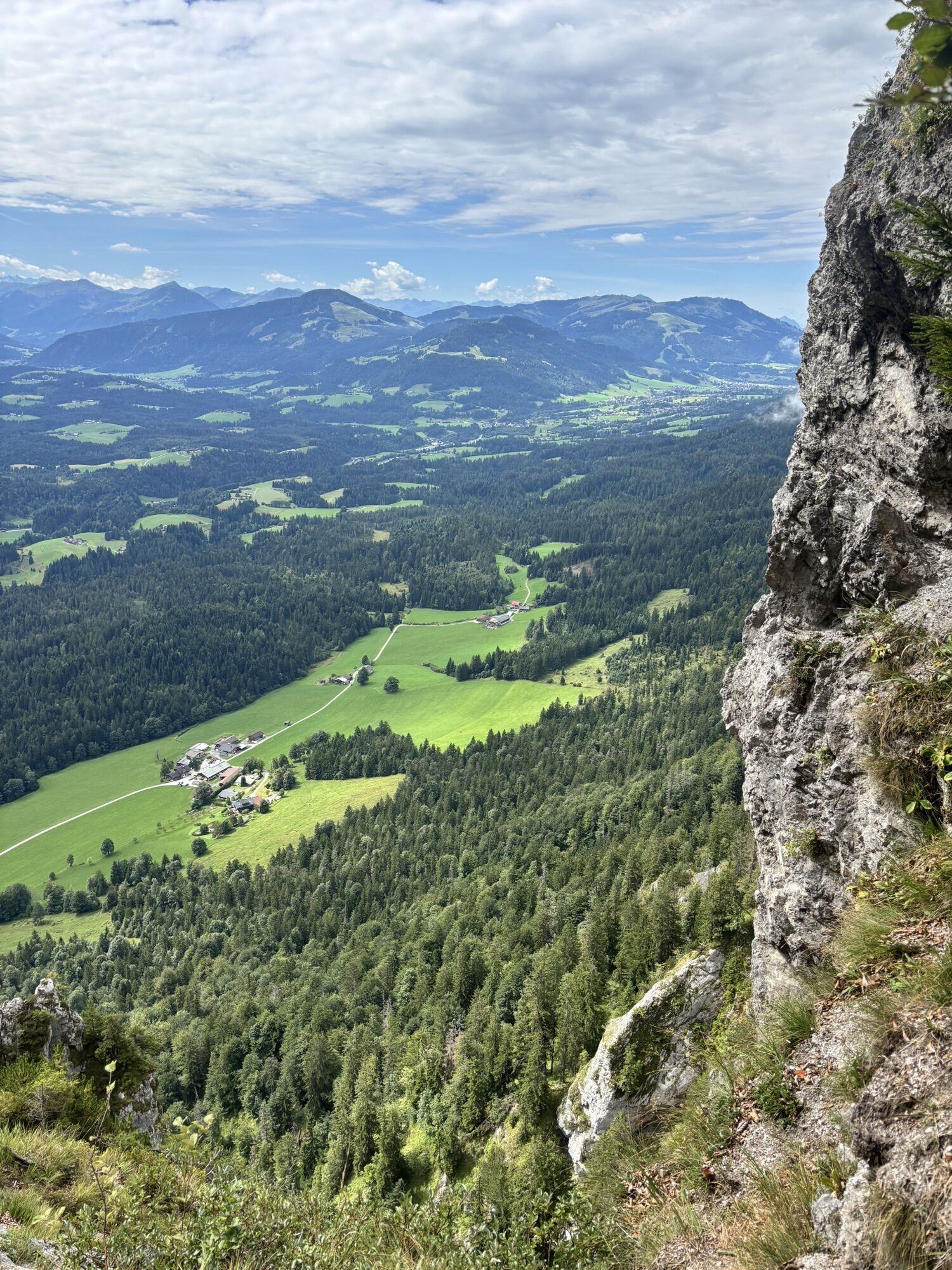
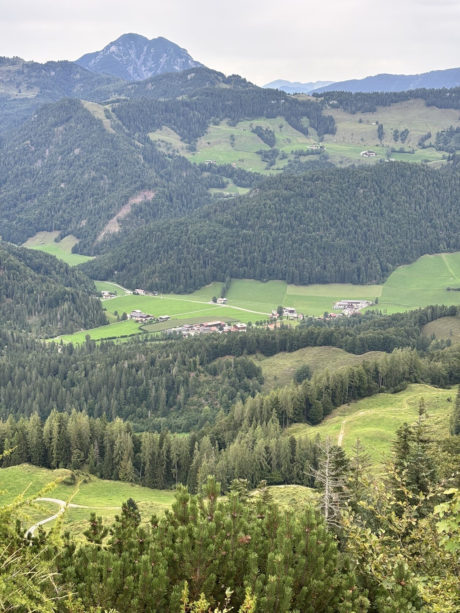
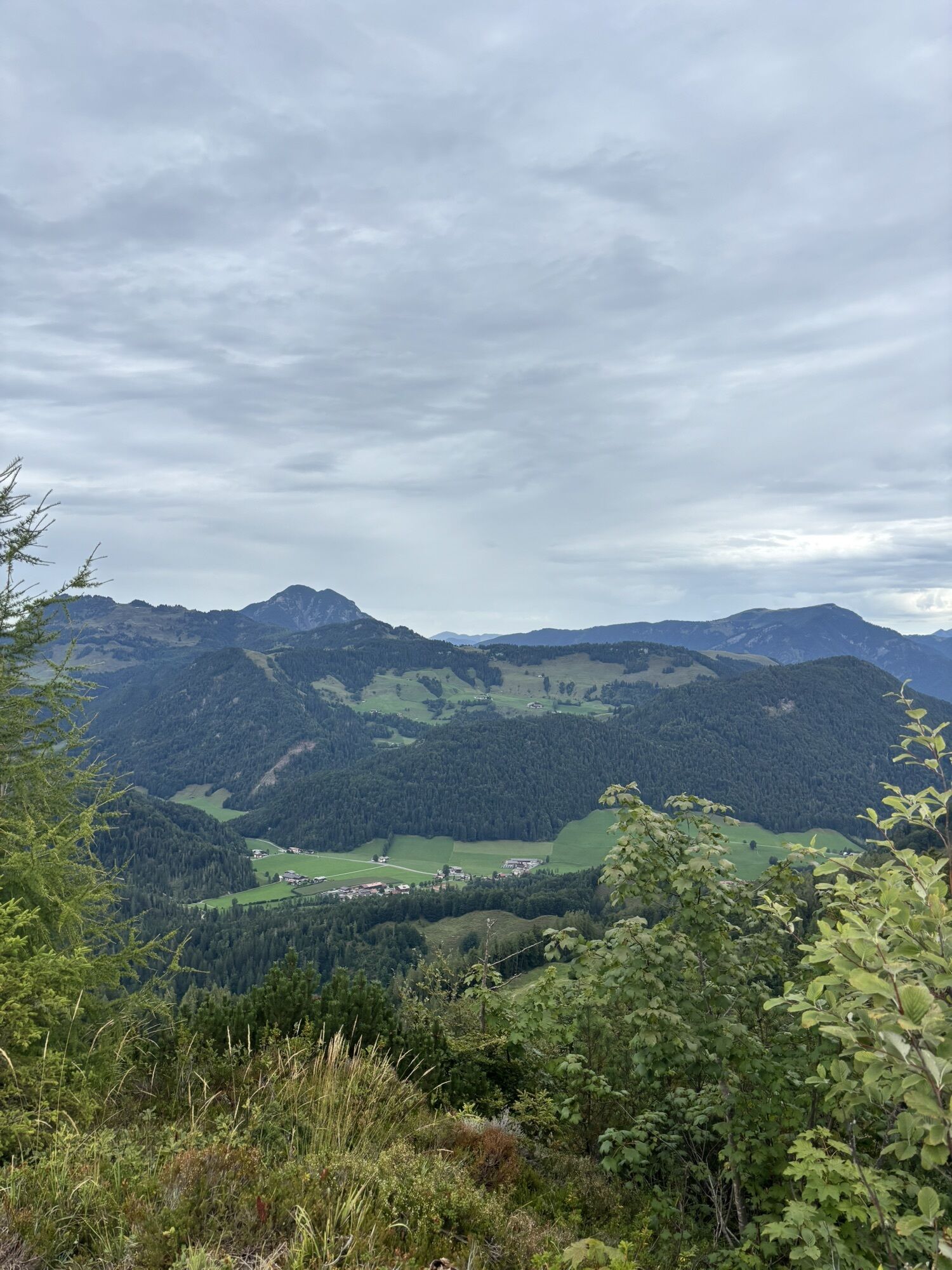
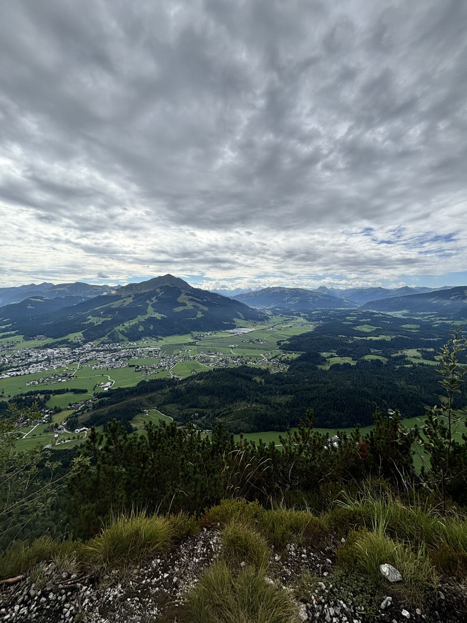
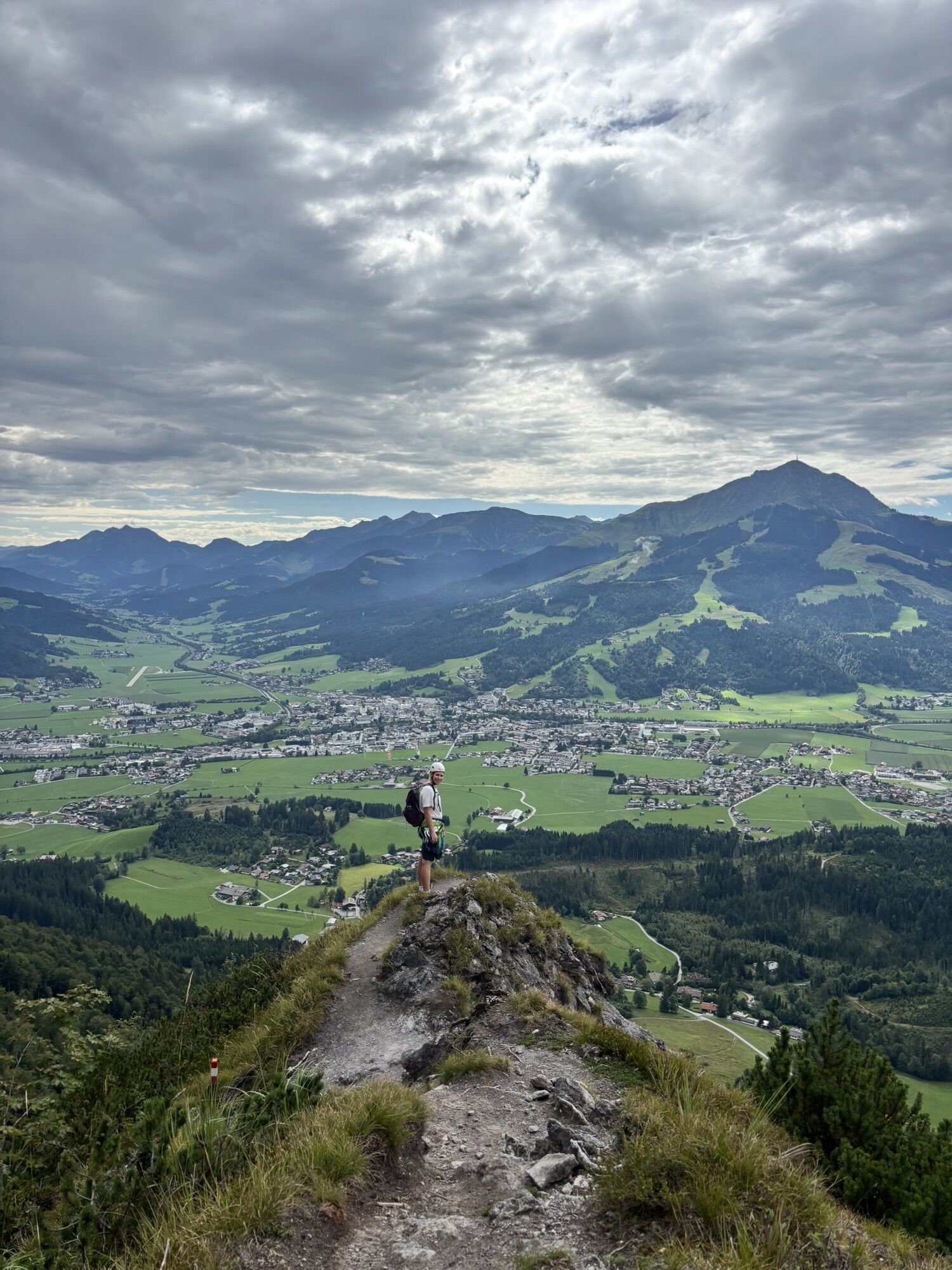
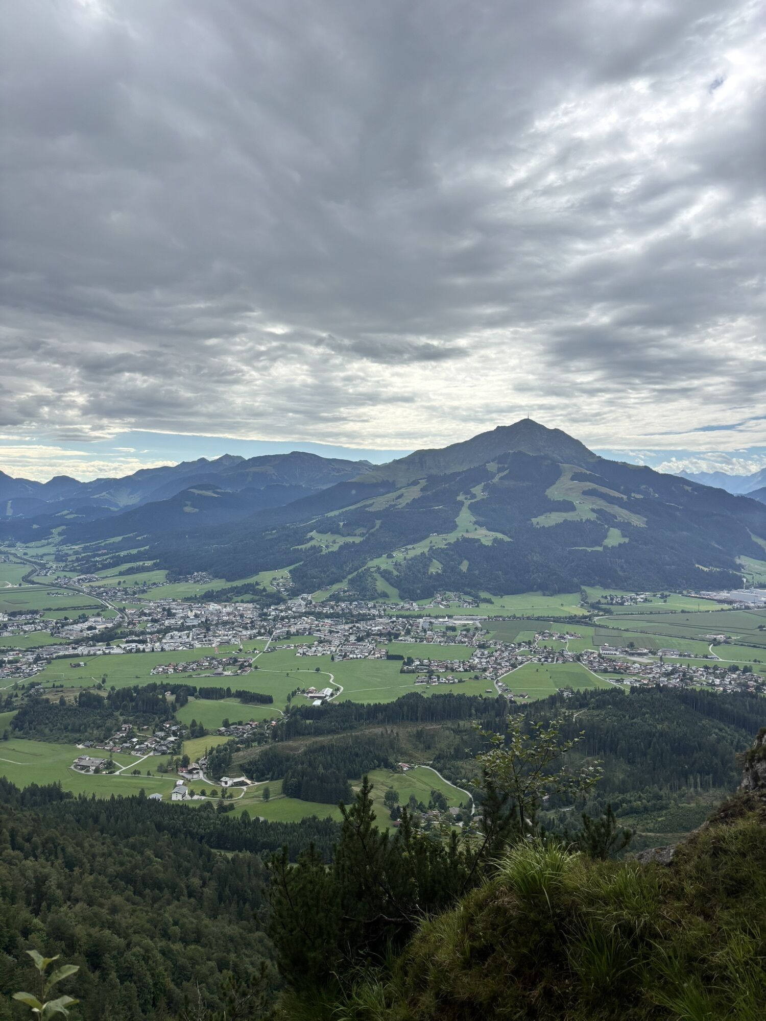
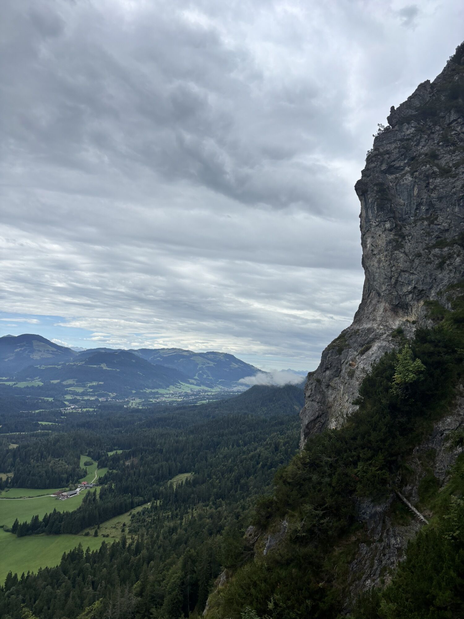
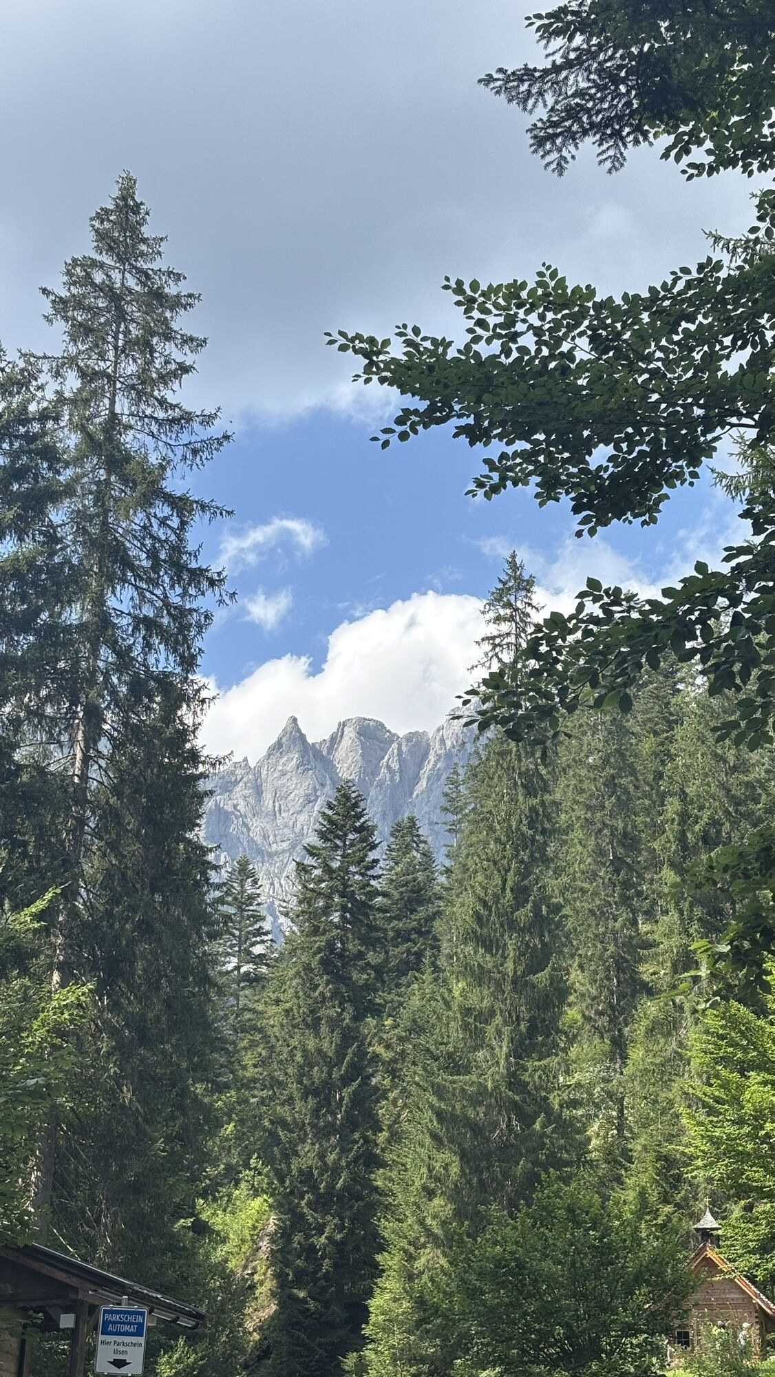
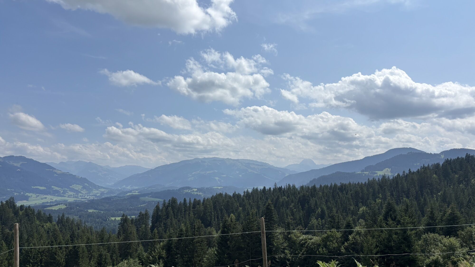
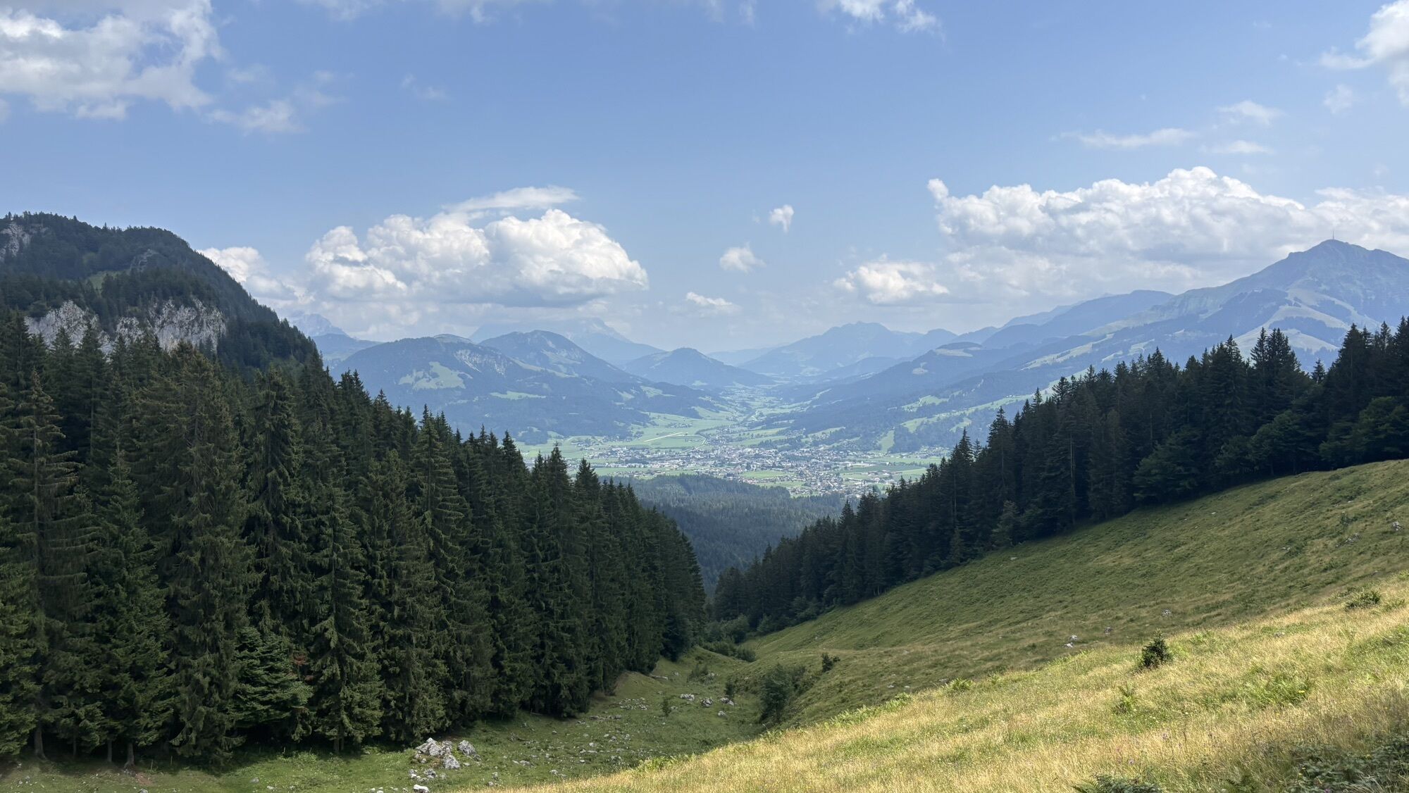
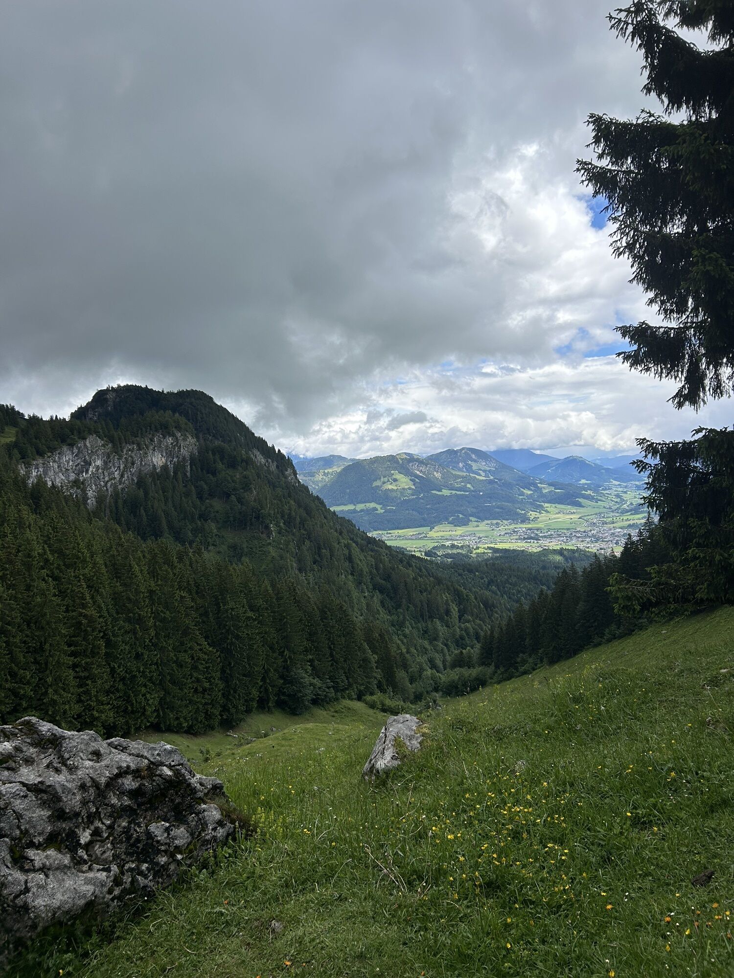
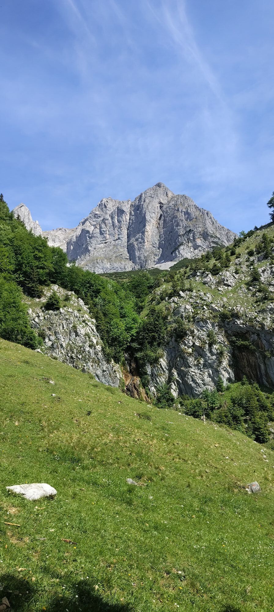
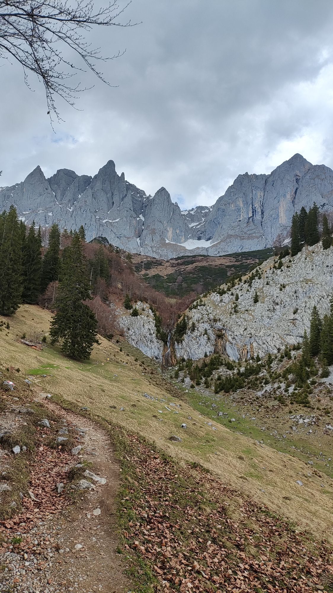
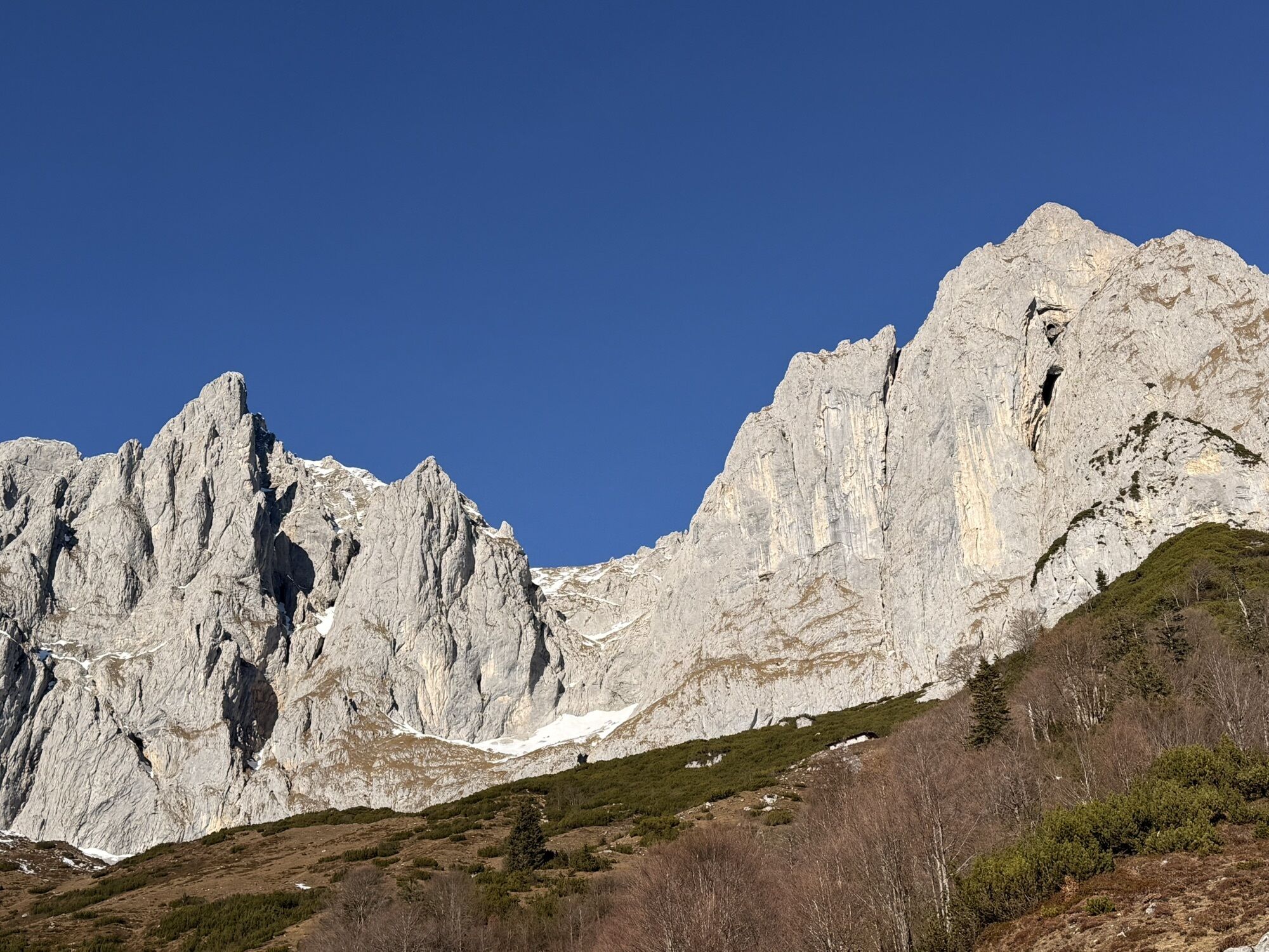
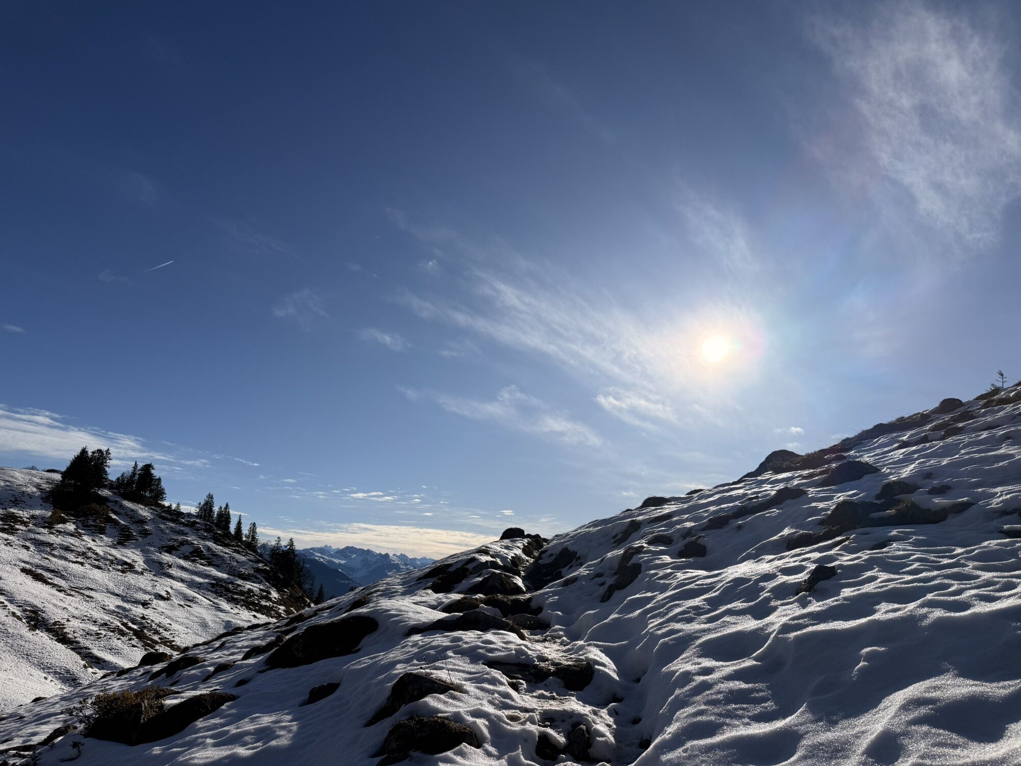
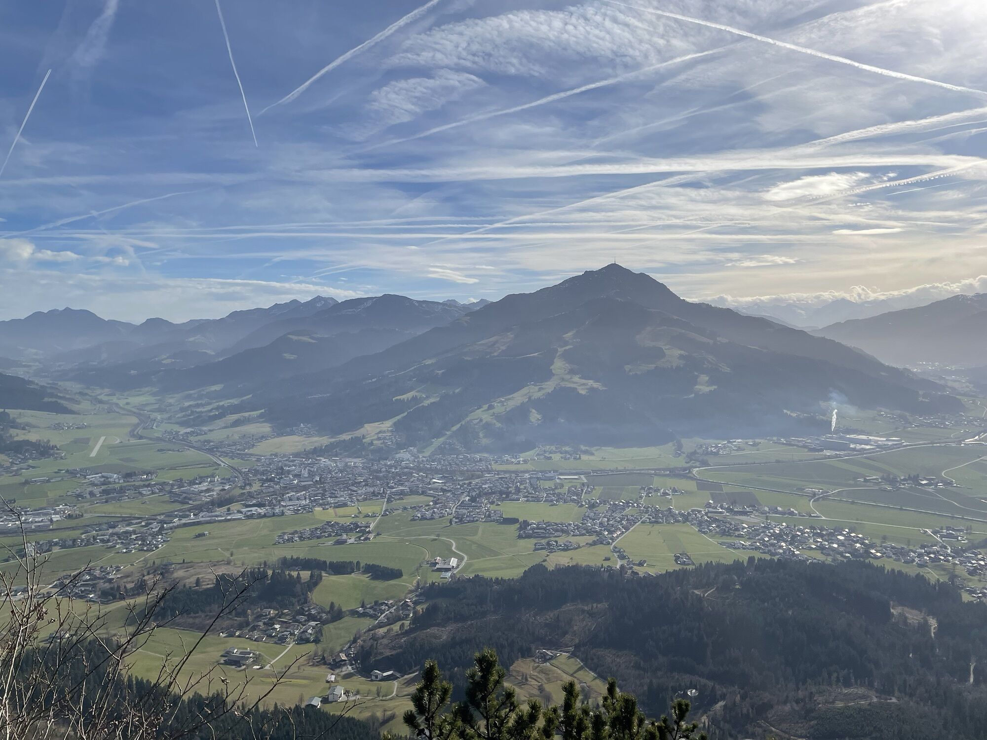
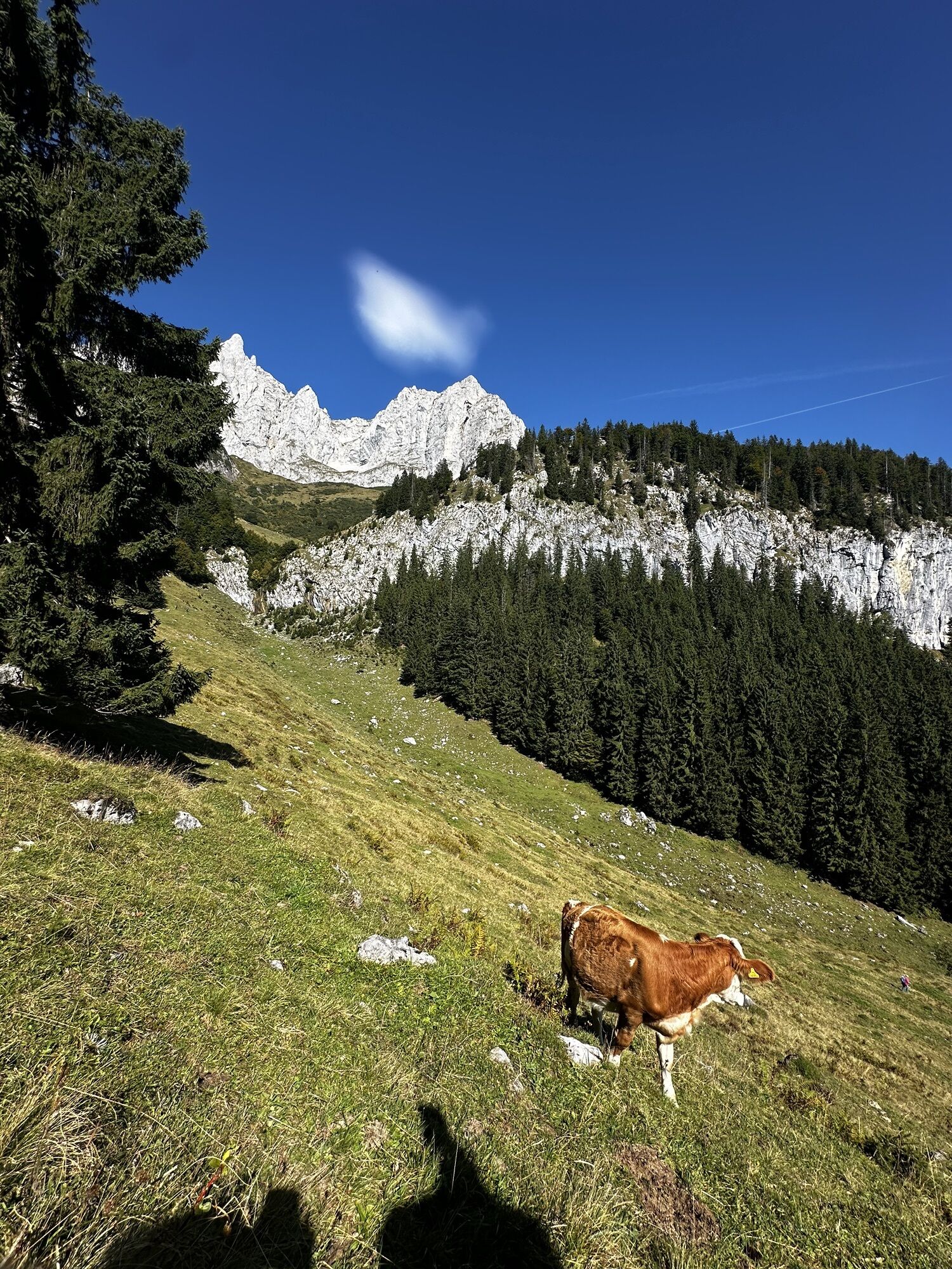
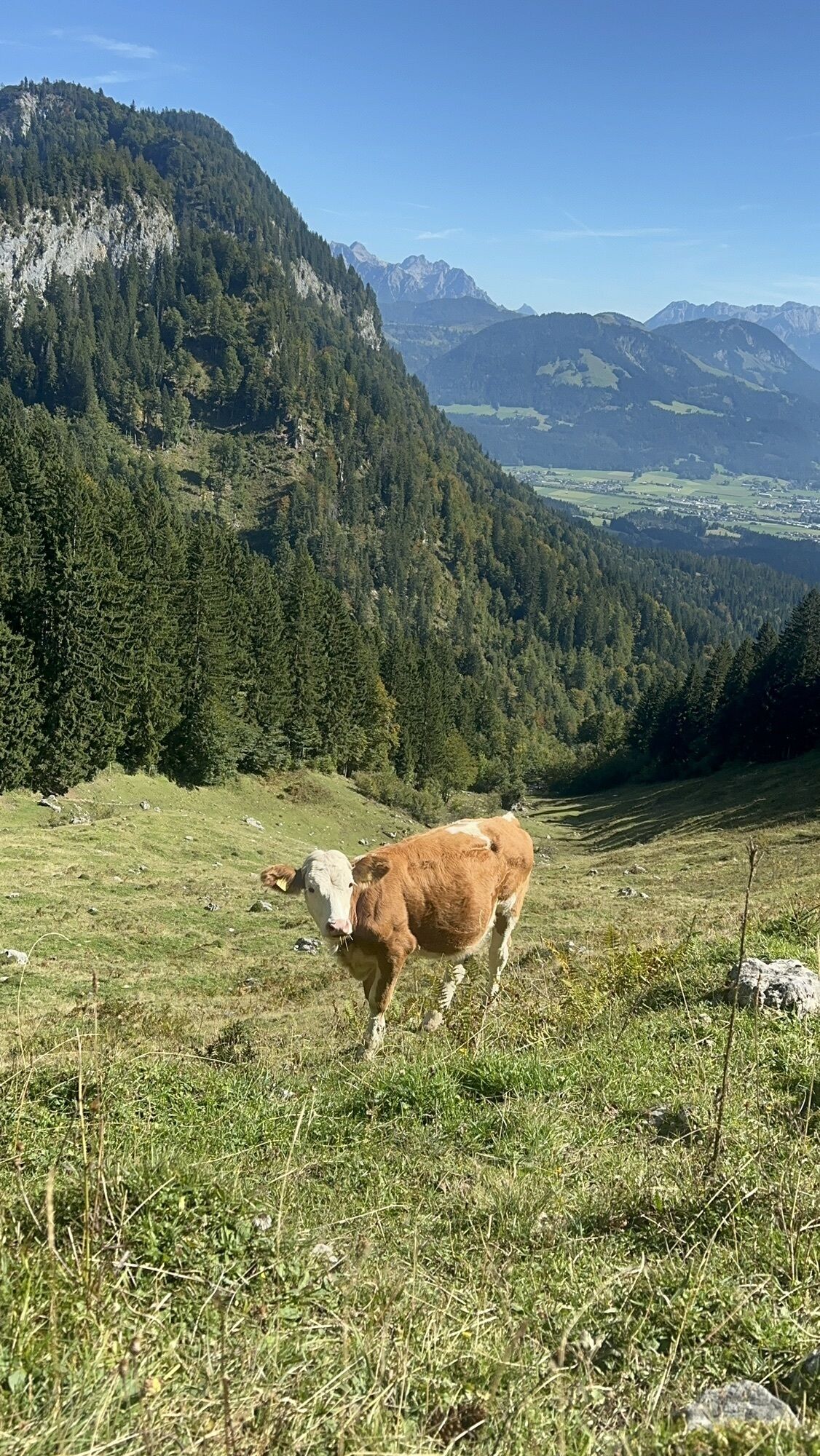
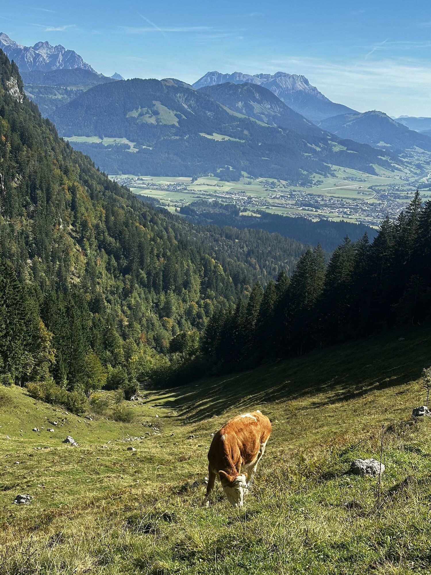
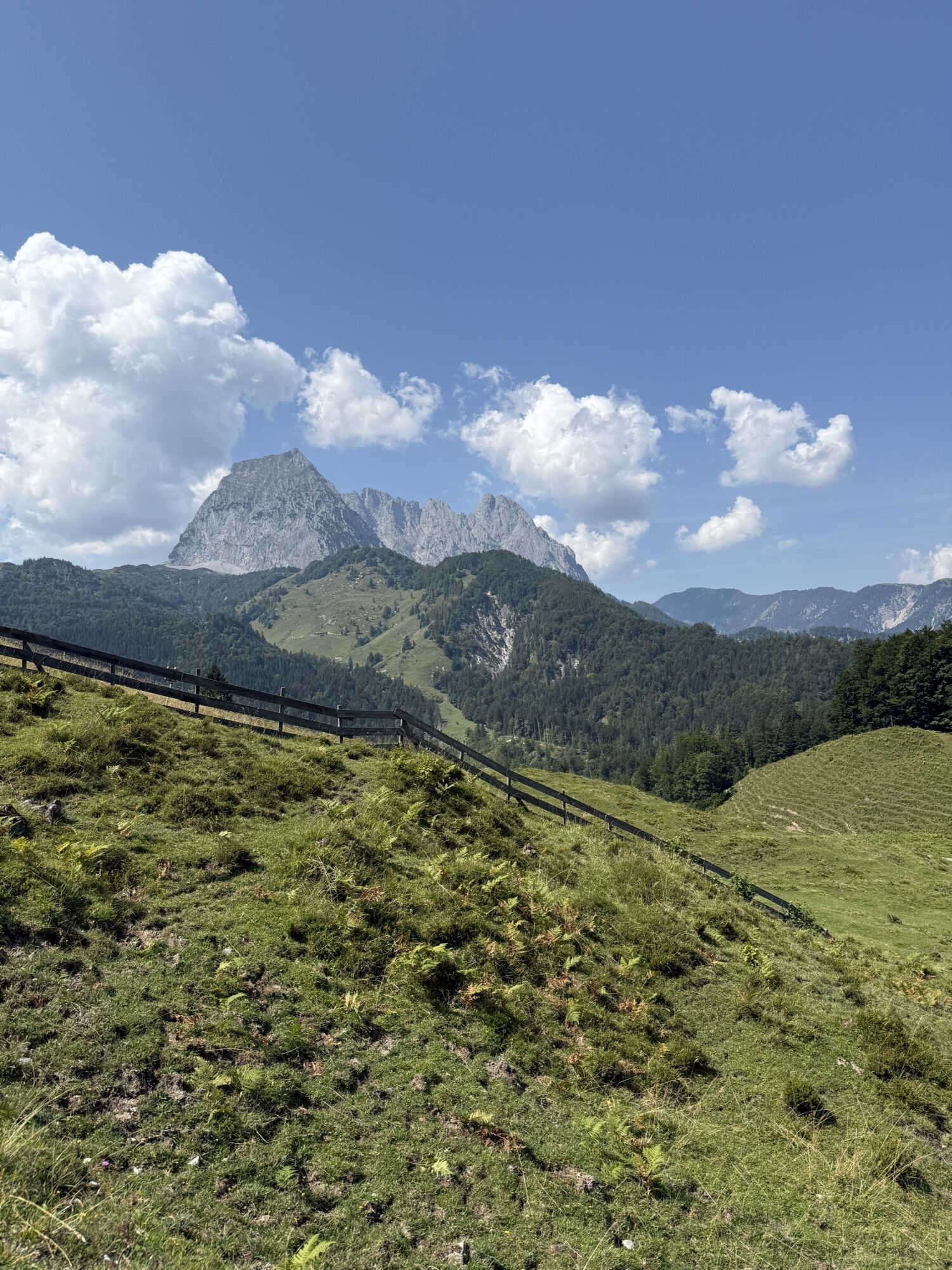
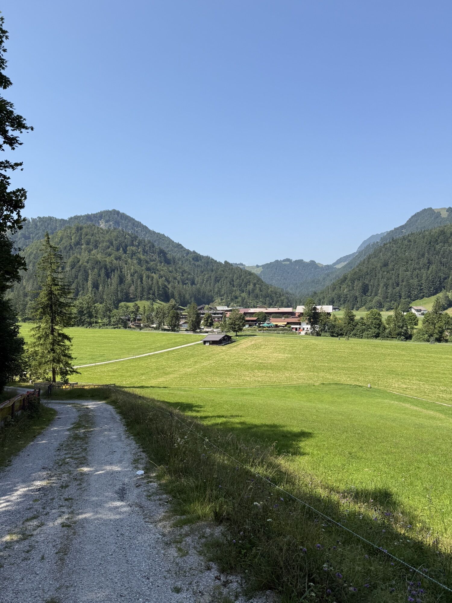
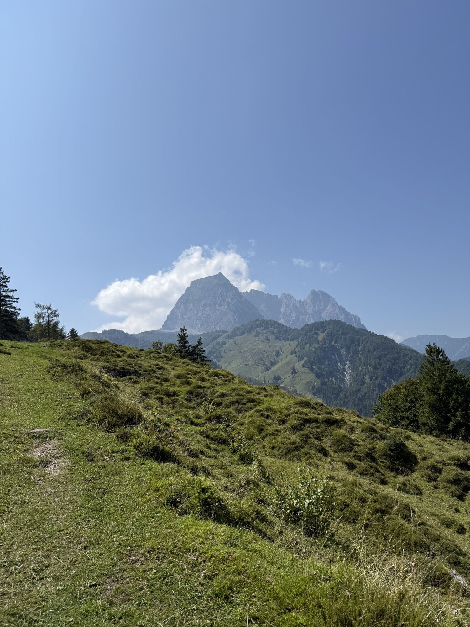
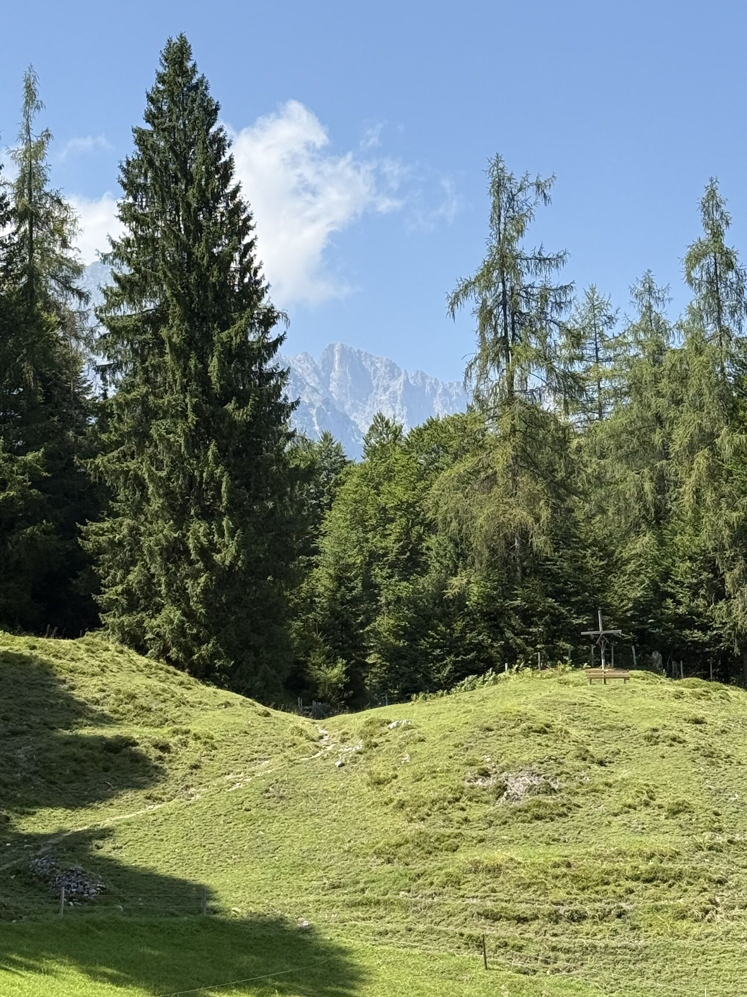
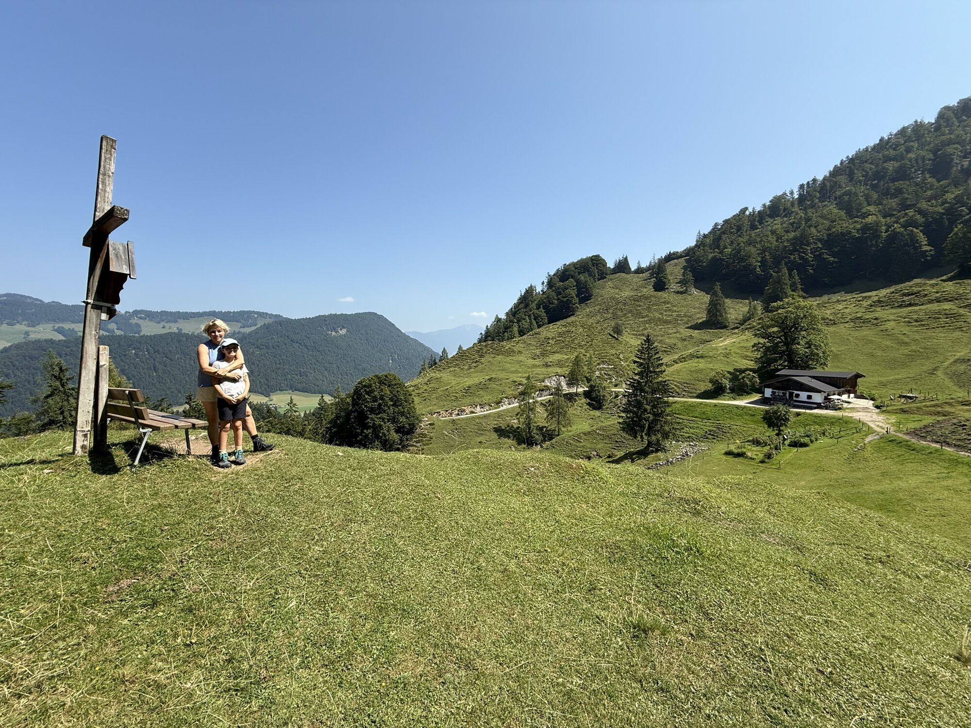
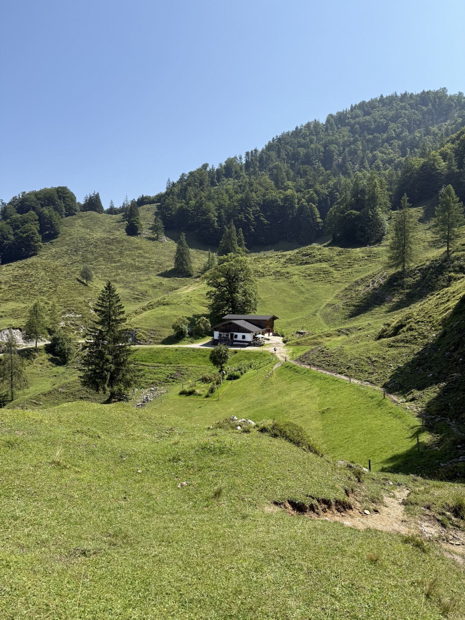
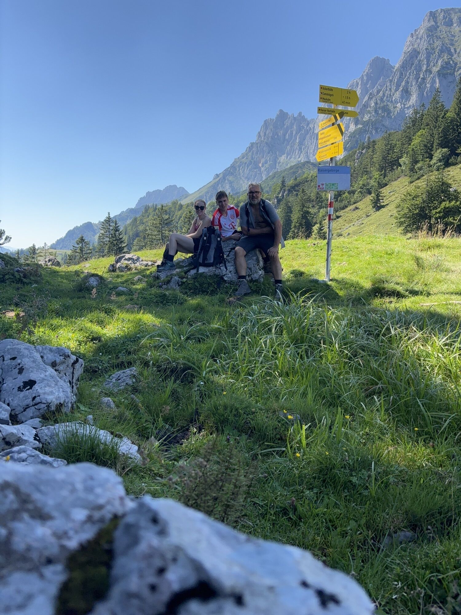
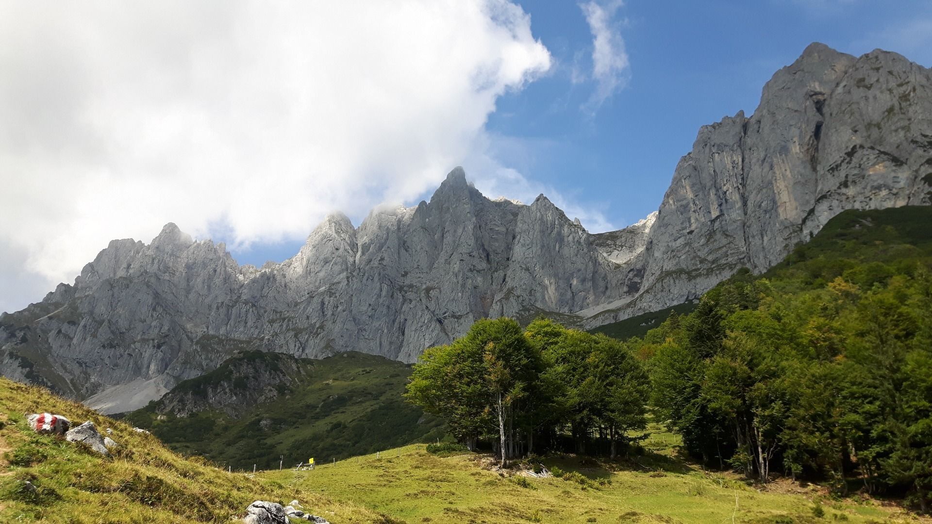
A variety of paths, soft forest floors and an uninterrupted view of the imposing Maukspitze summit!
In Gasteig, follow the signs to Niederkaiserkamm-WKS/Gscheuerkopf. Start by hiking through the forest...
A variety of paths, soft forest floors and an uninterrupted view of the imposing Maukspitze summit!
In Gasteig, follow the signs to Niederkaiserkamm-WKS/Gscheuerkopf. Start by hiking through the forest along the forest road, keeping to the left when you reach the fork before heading past the Rodelhütte mountain hut. Proceed through the meadows, passing the Bacheralm refreshment stop as you continue heading towards Niederkaiserkamm. Shortly before reaching the Metzgeralm, keep walking south (in the direction of Niederkaiserkamm) on the forest road. Follow the curves of the road before turning onto the path towards Niederkaiserkamm that branches off to the right.
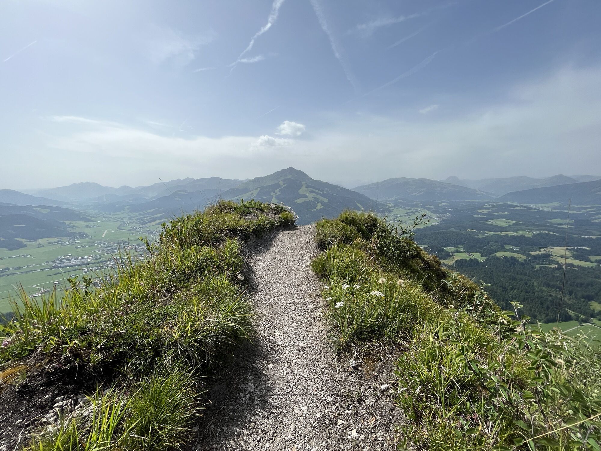
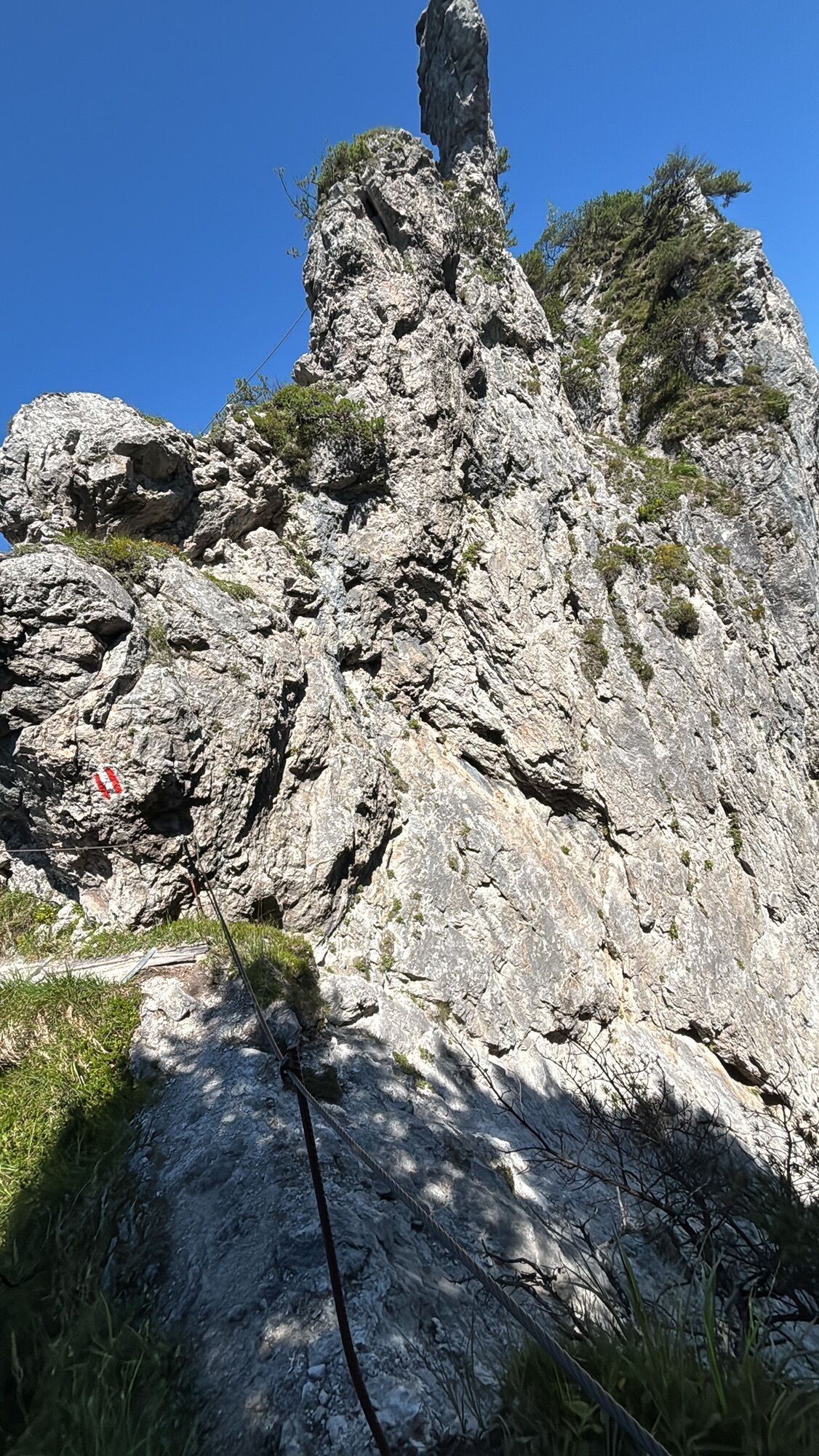
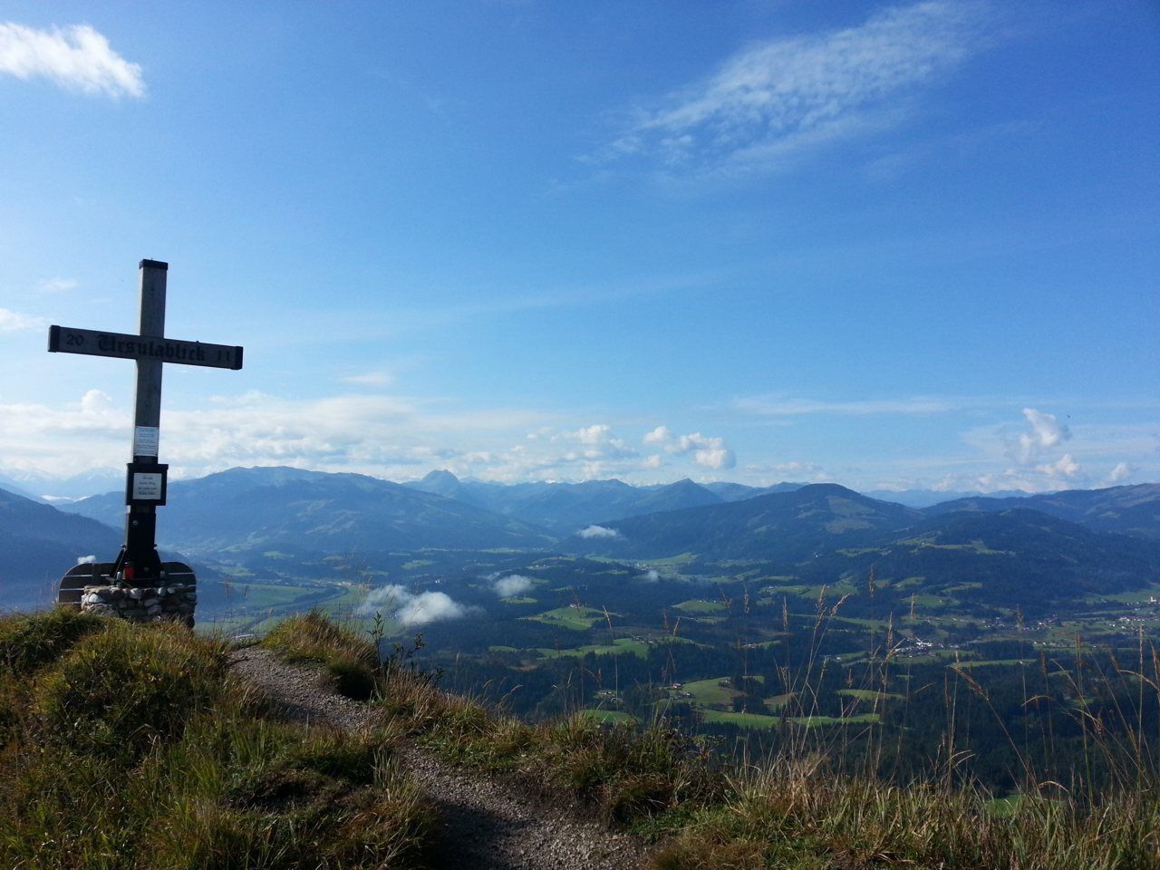
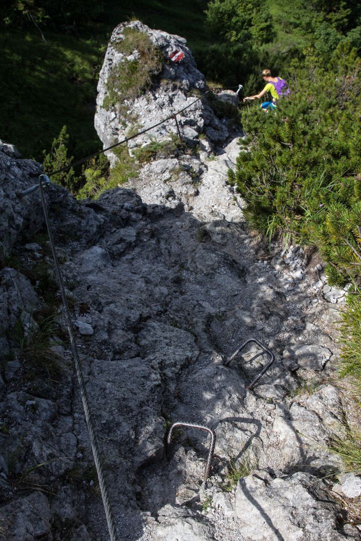
Make your way uphill through the cool forest until you reach Wilder-Kaiser-Steig trail 823. Here, you should follow the path west in the direction of the Kaiseralmen/Gscheuerkopf. After traversing a passage secured with steel rope, the path leads to the Ursulablick viewpoint. Once there, you can take in the view over the Kitzbühel Alps including the Kitzbüheler Horn and the Maukspitze summit.
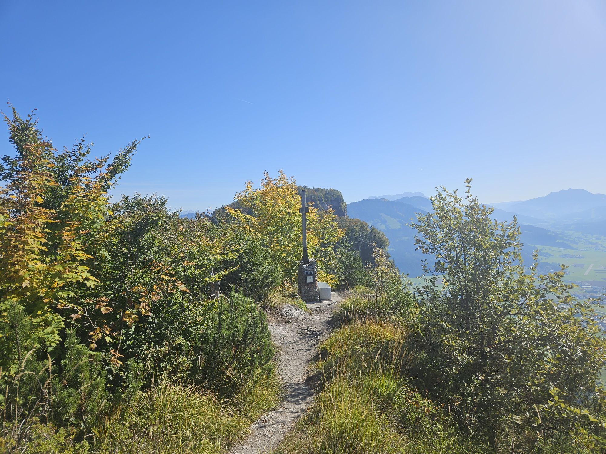
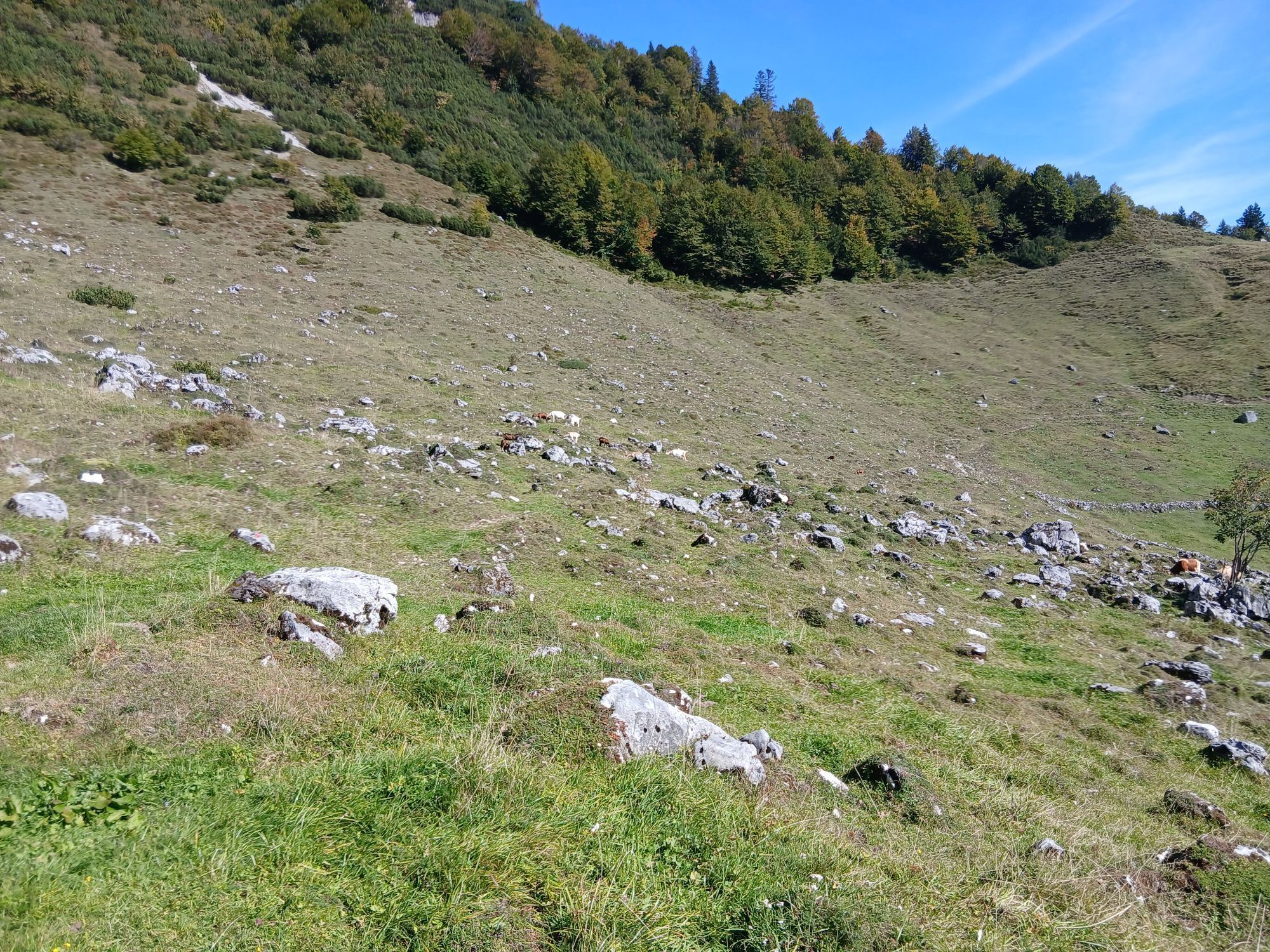
Heading across a number of steps, walk along a series of ascents and descents on the Wilder-Kaiser-Steig trail until you come to the Gscheuerkopf mountain (1,280 m). From here, the path – which is partially exposed and is secured with steel ropes and iron clamps – continues along a wonderfully soft forest floor on the way to a gentle Alpine pasture landscape. Follow the forest road past the Einödalm and the Kaiser-Niederalm. You should subsequently head southwest along trail 819 to the Granderalm. None of the above locations feature any establishments that serve food.
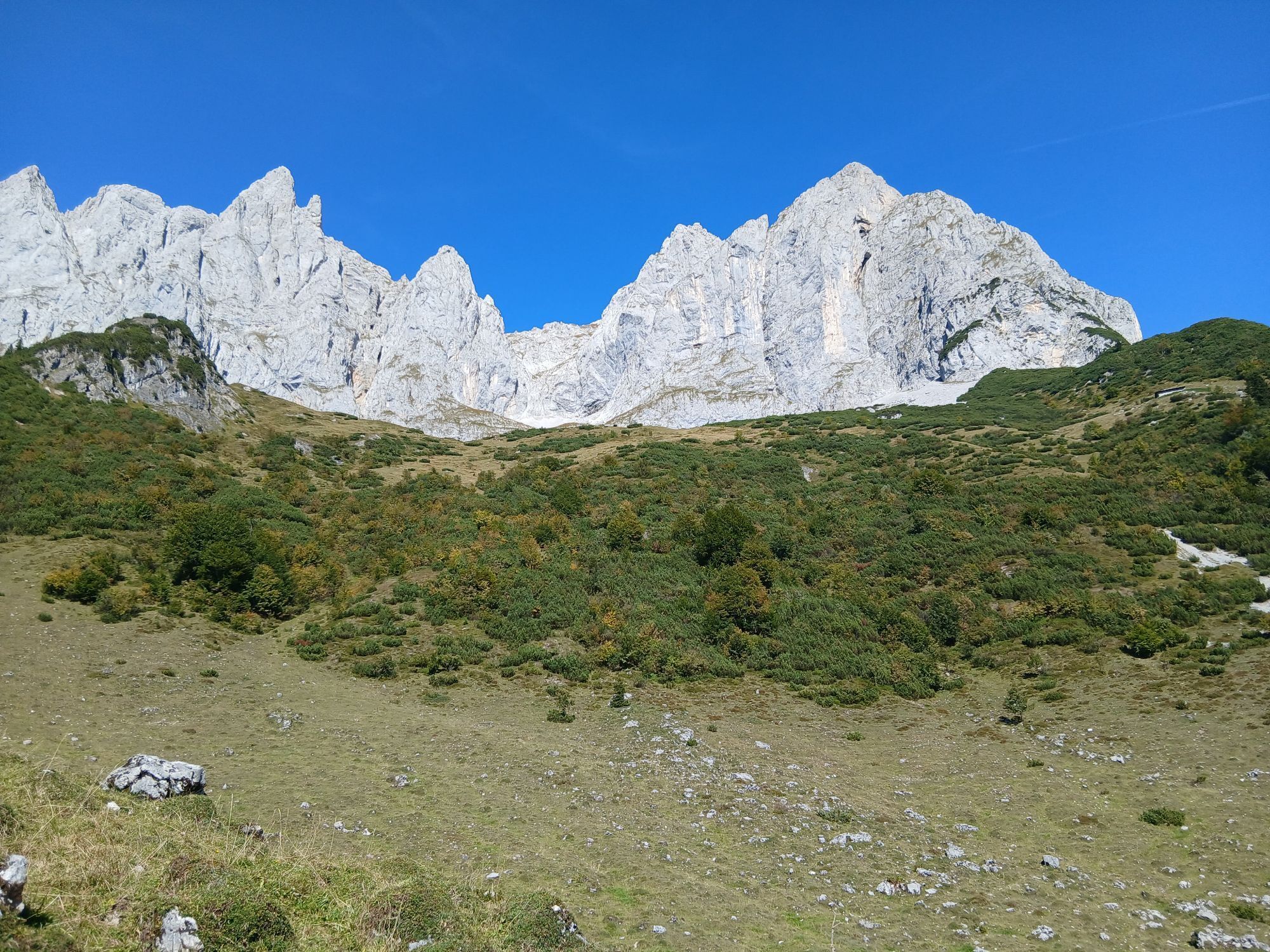
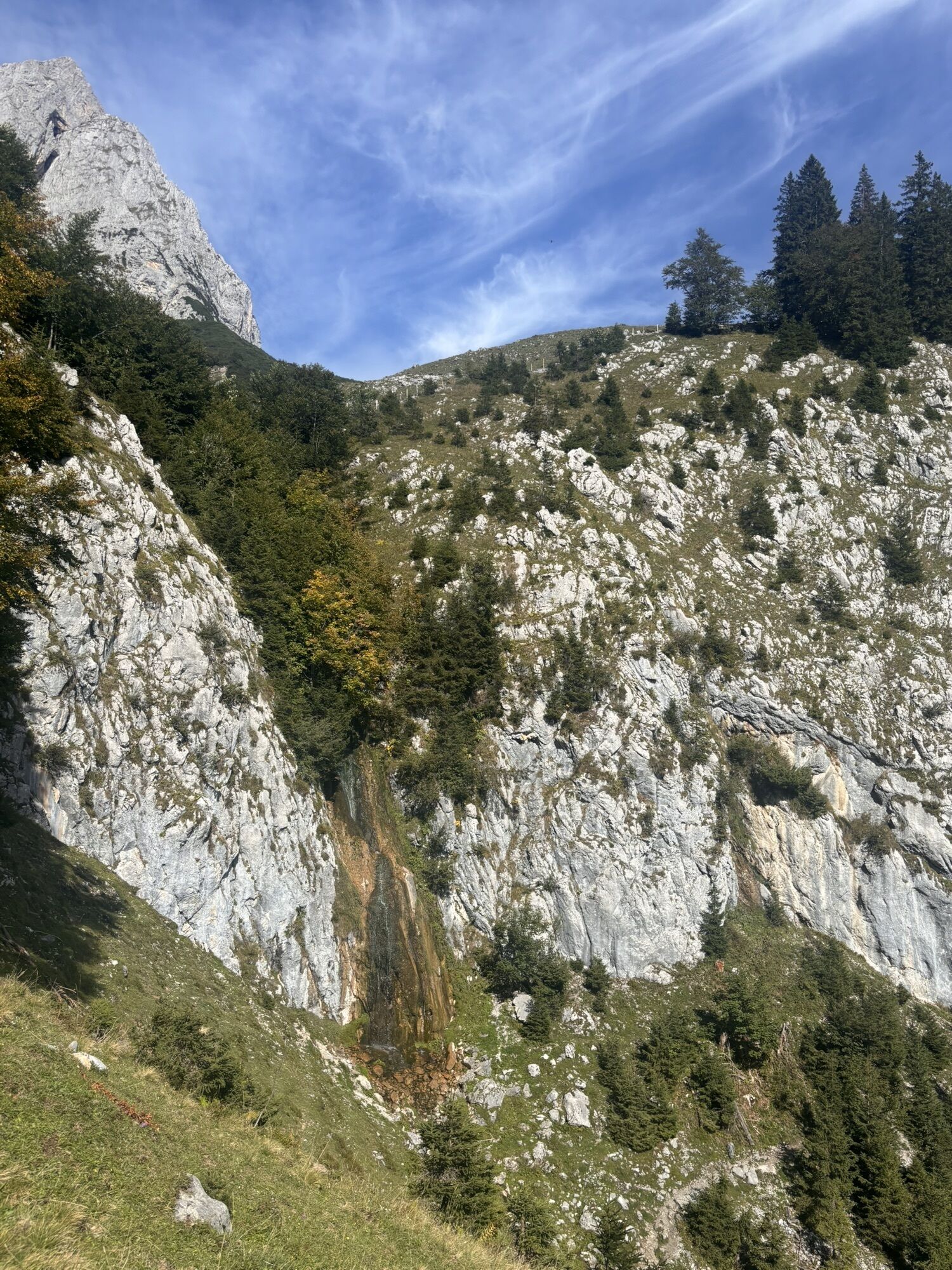
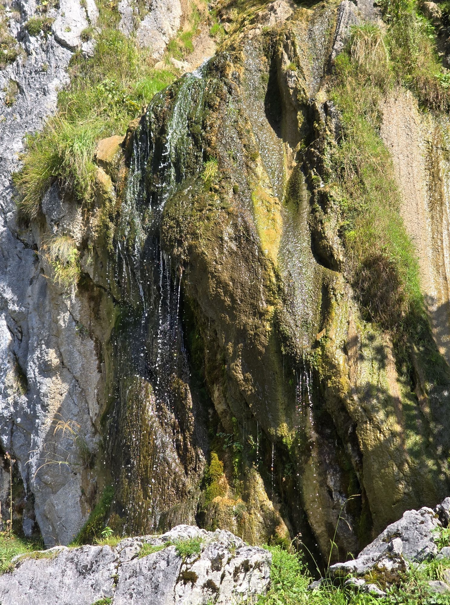
On path 819/824 and subsequently on path 827, the route heads north of the Schleier Waterfall - which is a paradise for climbers - and leads you past the Graspoint-Hochalm, with stunning views of the Ackerlspitze and the Maukspitze summits. You can now take the turnoff leading south on path 817, passing the Graspoint-Niederalm as you head back down into the valley and return to the starting point in Going.
Make sure to take sufficient food and drinks with you on this stage!
Tip for climbing enthusiasts with a good head for heights: alternative route via the Schleier Waterfall
If you make the descent via a steep ladder measuring around 5 metres in length, you will be rewarded with a unique spectacle of nature and climbing at the Schleier Waterfall.
For the subsequent descent to Going and for details about this tour, see “Alternative route via Schleier Waterfall”.

A variety of paths, soft forest floors and an uninterrupted view of the imposing Maukspitze summit!
In Gasteig, follow the signs to Niederkaiserkamm. Start by hiking through the forest along the forest road, keeping to the left when you reach the fork before heading past the Rodelhütte mountain hut. Proceed through the meadows as you head south, passing the Bacheralm refreshment stop as you continue heading towards Niederkaiserkamm. Shortly before reaching the Metzgeralm, keep walking south (in the direction of Niederkaiserkamm) on the forest road. Follow the curves of the road before turning onto the path towards Niederkaiserkamm that branches off to the right.
Make your way uphill through the cool forest until you reach Wilder-Kaiser-Steig trail 823. Here, you should follow the path west in the direction of the Kaiseralmen. After traversing a passage secured with steel rope and iron clamps, the path leads to the Ursulablick viewpoint. Once there, you can take in the view over the Kitzbühel Alps including the Kitzbüheler Horn and the Maukspitze summit.
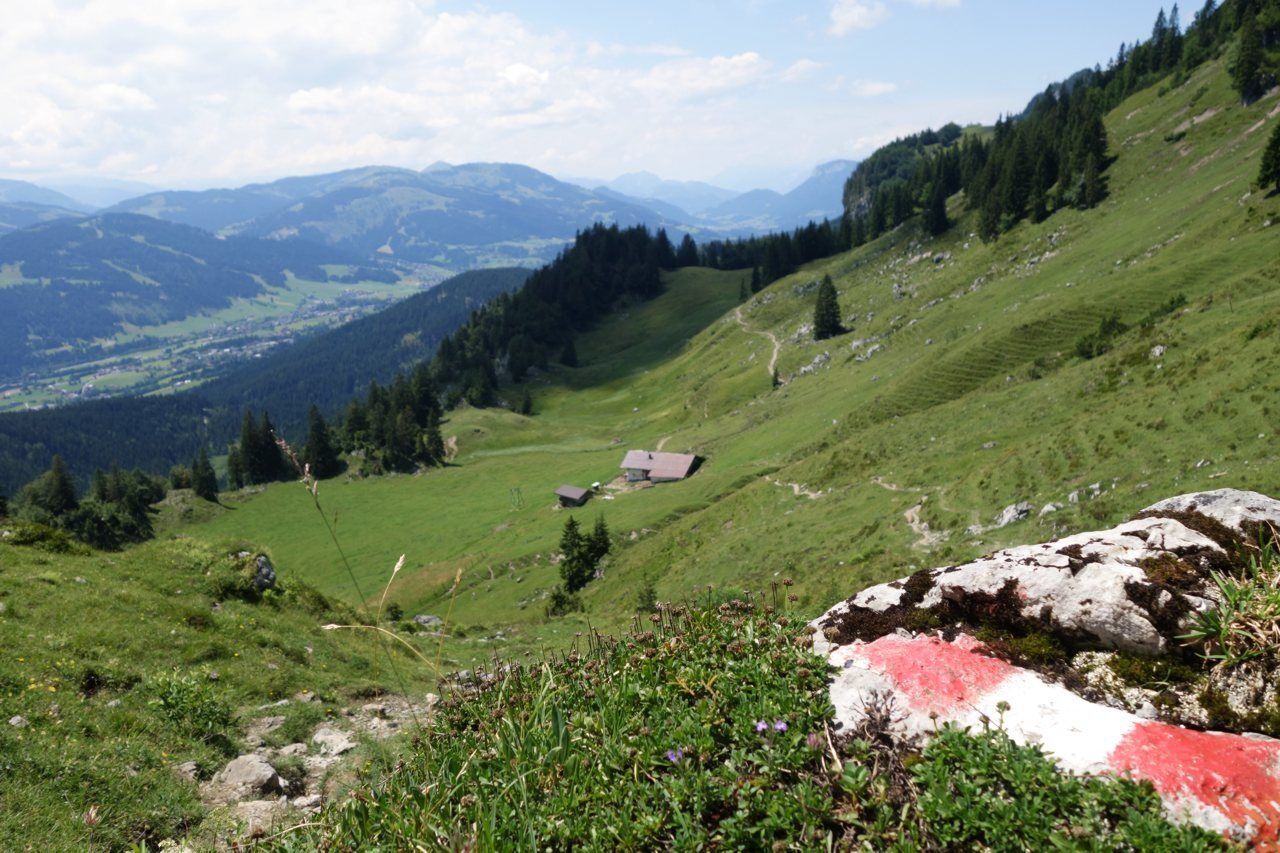
Heading across a number of steps, walk along a series of ascents and descents on the Wilder-Kaiser-Steig trail until you come to the Gscheuerkopf mountain (1,280 m). From here, the path – which is partially exposed and is secured with steel ropes and iron clamps – continues along a wonderfully soft forest floor on the way to a gentle Alpine pasture landscape. Follow the forest road past the Einödalm and the Kaiser-Niederalm. You should subsequently head southwest along trail 819 to the Granderalm. None of the above locations feature any establishments that serve food.
On path 819/824 and subsequently on path 827, the route heads north of the Schleier Waterfall - which is a paradise for climbers - and leads you past the Graspoint-Hochalm, with stunning views of the Ackerlspitze and the Maukspitze summits. You can now take the turnoff leading south on path 817, passing the Graspoint-Niederalm as you head back down into the valley and return to the starting point in Going.
Make sure to take sufficient food and drinks with you on this stage!
Tip for climbing enthusiasts with a good head for heights: alternative route via the Schleier Waterfall
If you make the descent via a steep ladder measuring around 5 metres in length, you will be rewarded with a unique spectacle of nature and climbing at the Schleier Waterfall.
For the subsequent descent to Going and for details about this tour, see “Alternative route via Schleier Waterfall”.
Wilder Kaiser hiking map (1:25.000) available at the Tourist information offices Ellmau, Going, Scheffau and Söll for € 6,90 - with Wilder Kaiser Guest Card for € 6, -.
Additions for overnight stay at mountain hut:
Mountain hut sleeping bag, indoor shoes, toiletries and towel, personal medication, headlamp, Alpine Club ID Card, cash, charger for mobile phone
The hiking routes between the huts are often rather long, we recommend taking plenty of food and drink and booking your overnight stays well in advance.
A variety of paths, soft forest floors and an uninterrupted view of the imposing Maukspitze summit!
In Gasteig, follow the signs to Niederkaiserkamm. Start by hiking through the forest along the forest road, keeping to the left when you reach the fork before heading past the Rodelhütte mountain hut. Proceed through the meadows as you head south, passing the Bacheralm refreshment stop as you continue heading towards Niederkaiserkamm. Shortly before reaching the Metzgeralm, keep walking south (in the direction of Niederkaiserkamm) on the forest road. Follow the curves of the road before turning onto the path towards Niederkaiserkamm that branches off to the right.
Make your way uphill through the cool forest until you reach Wilder-Kaiser-Steig trail 823. Here, you should follow the path west in the direction of the Kaiseralmen. After traversing a passage secured with steel rope and iron clamps, the path leads to the Ursulablick viewpoint. Once there, you can take in the view over the Kitzbühel Alps including the Kitzbüheler Horn and the Maukspitze summit.
Heading across a number of steps, walk along a series of ascents and descents on the Wilder-Kaiser-Steig trail until you come to the Gscheuerkopf mountain (1,280 m). From here, the path – which is partially exposed and is secured with steel ropes and iron clamps – continues along a wonderfully soft forest floor on the way to a gentle Alpine pasture landscape. Follow the forest road past the Einödalm and the Kaiser-Niederalm. You should subsequently head southwest along trail 819 to the Granderalm. None of the above locations feature any establishments that serve food.
On path 819/824 and subsequently on path 827, the route heads north of the Schleier Waterfall - which is a paradise for climbers - and leads you past the Graspoint-Hochalm, with stunning views of the Ackerlspitze and the Maukspitze summits. You can now take the turnoff leading south on path 817, passing the Graspoint-Niederalm as you head back down into the valley and return to the starting point in Going.
Make sure to take sufficient food and drinks with you on this stage!
Tip for climbing enthusiasts with a good head for heights: alternative route via the Schleier Waterfall
If you make the descent via a steep ladder measuring around 5 metres in length, you will be rewarded with a unique spectacle of nature and climbing at the Schleier Waterfall.
For the subsequent descent to Going and for details about this tour, see “Alternative route via Schleier Waterfall”.
More information at: www.wilderkaiser.info/mobility


Kamery internetowe z trasy


Popularne wycieczki w okolicy
- 4,7
Kirchdorf: Zur geheimnisvollen Teufelsgasse
średniWędrówka 7,90 km - 4,9
Kirchdorf: Kaiserbachtal - Stripsenkopf und Feldberg
ciężkiWędrówka 12,6 km - 4,3
Erpfendorf: Griesbachklamm
średniWędrówka 10 km - 4,9
Schleierwasserfall Runde
średniWędrówka 5,63 km - 4,9
Gruttenhütte über Klammlweg
średniWędrówka 5,61 km - 4,4
Kitzbüheler Horn über Horn-Gipfel-Höhenweg
średniTrasa tematyczna 5,30 km - 5,0
Kirchdorf: Stripsenjoch Klettersteige
ciężkiVia ferrata 3,76 km - 4,8
Ellmauer Tor (22.07.2020)
średniWędrówka 9,32 km - 4,8
Kössen - Wetterfahne - Naringalm - Kössen
średniWędrówka 11,0 km - 4,8
Streif Wanderweg
średniWędrówka 5,73 km
Wędrówki i tropienie


Nie przegap ofert i inspiracji na następne wakacje
Twój adres e-mail została dodana do listy mailingowej.





