







Trail Virgentaler Sonnseitenweg Stage 4

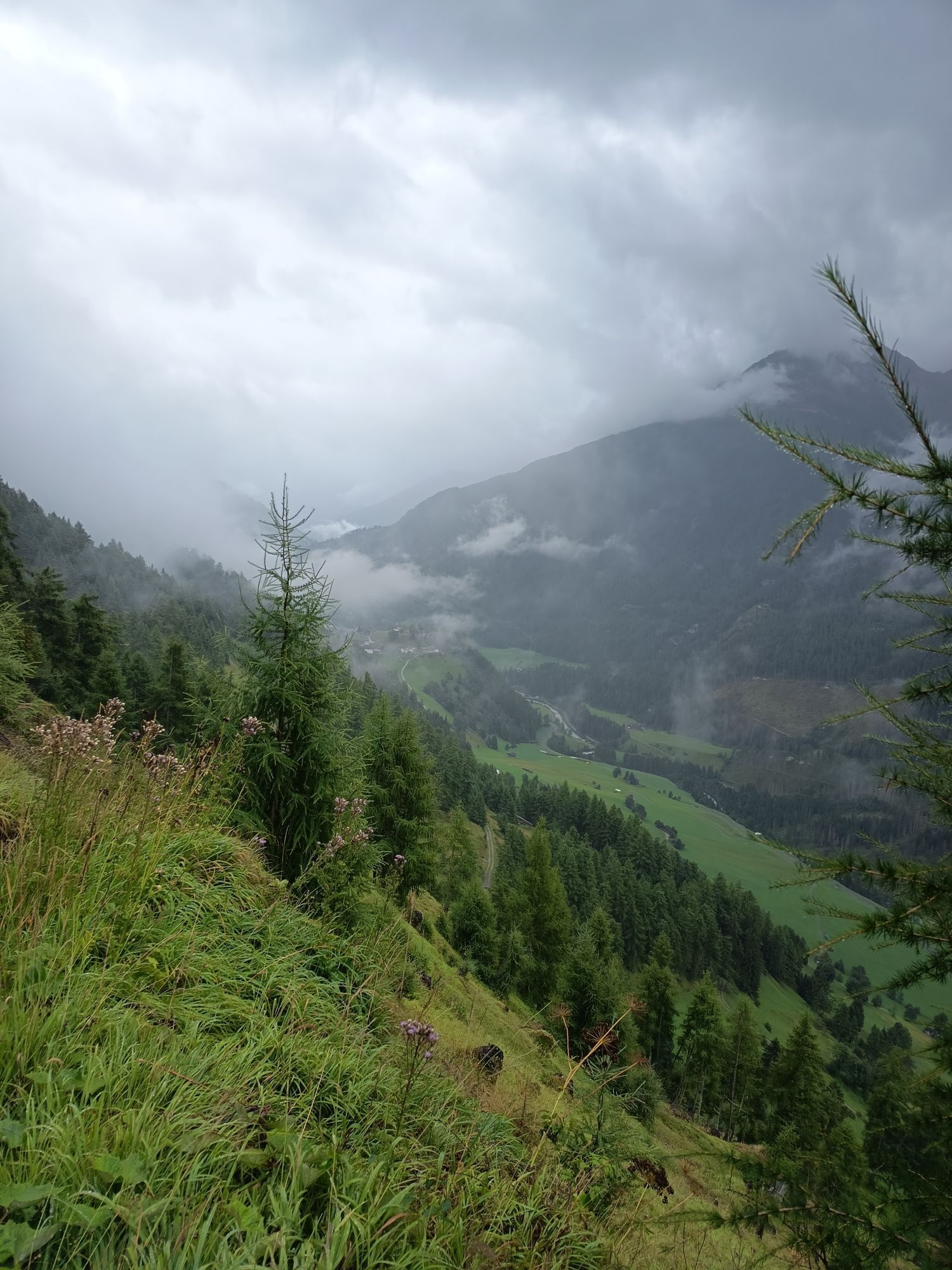
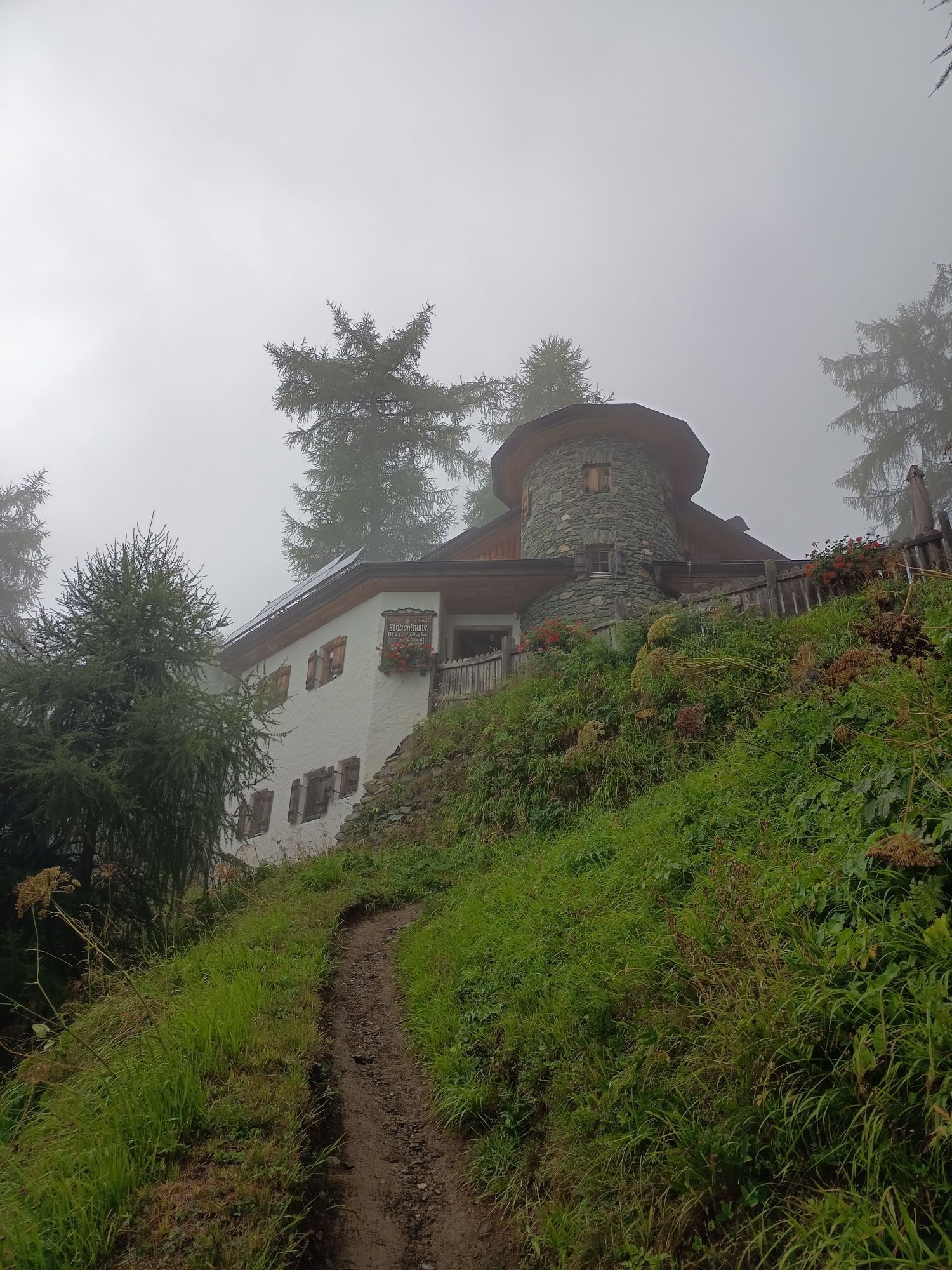
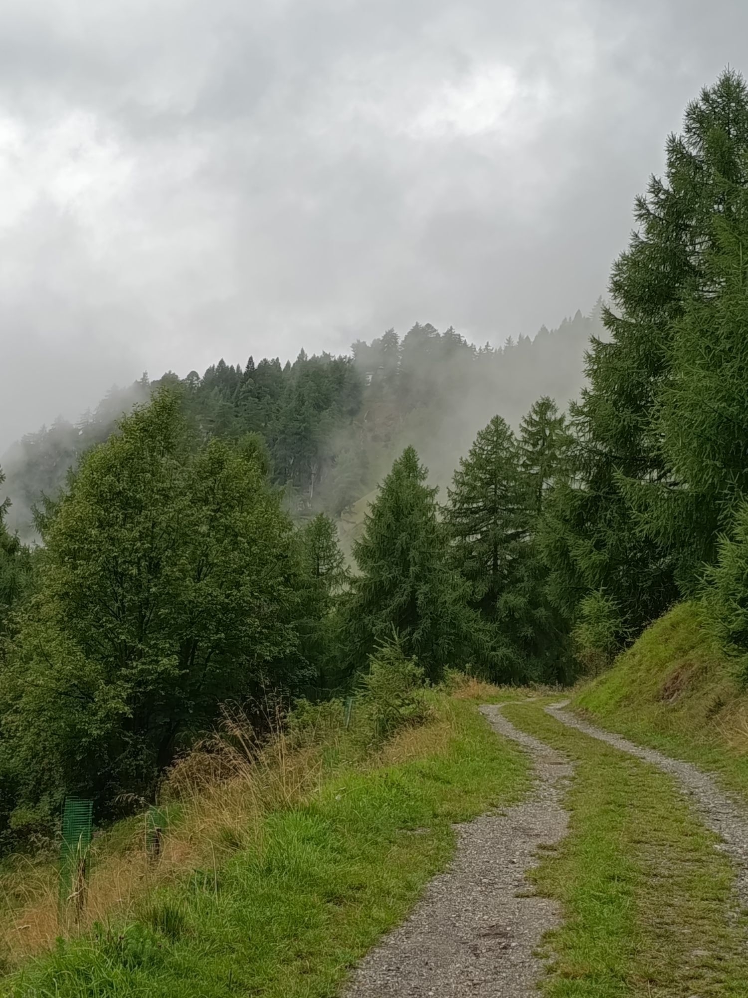
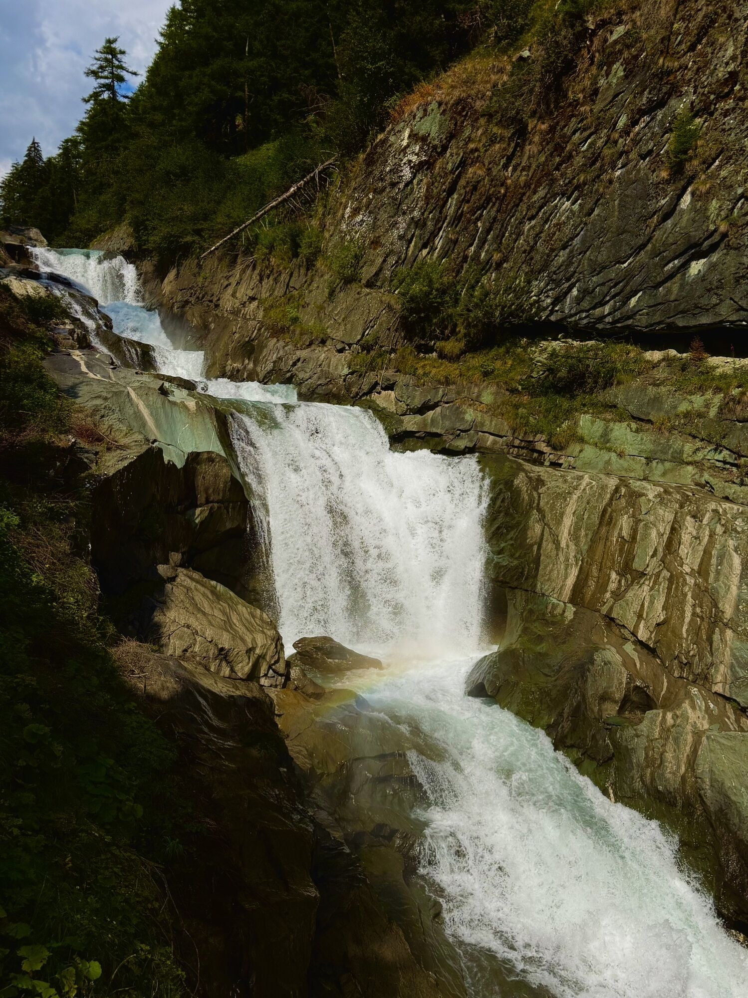
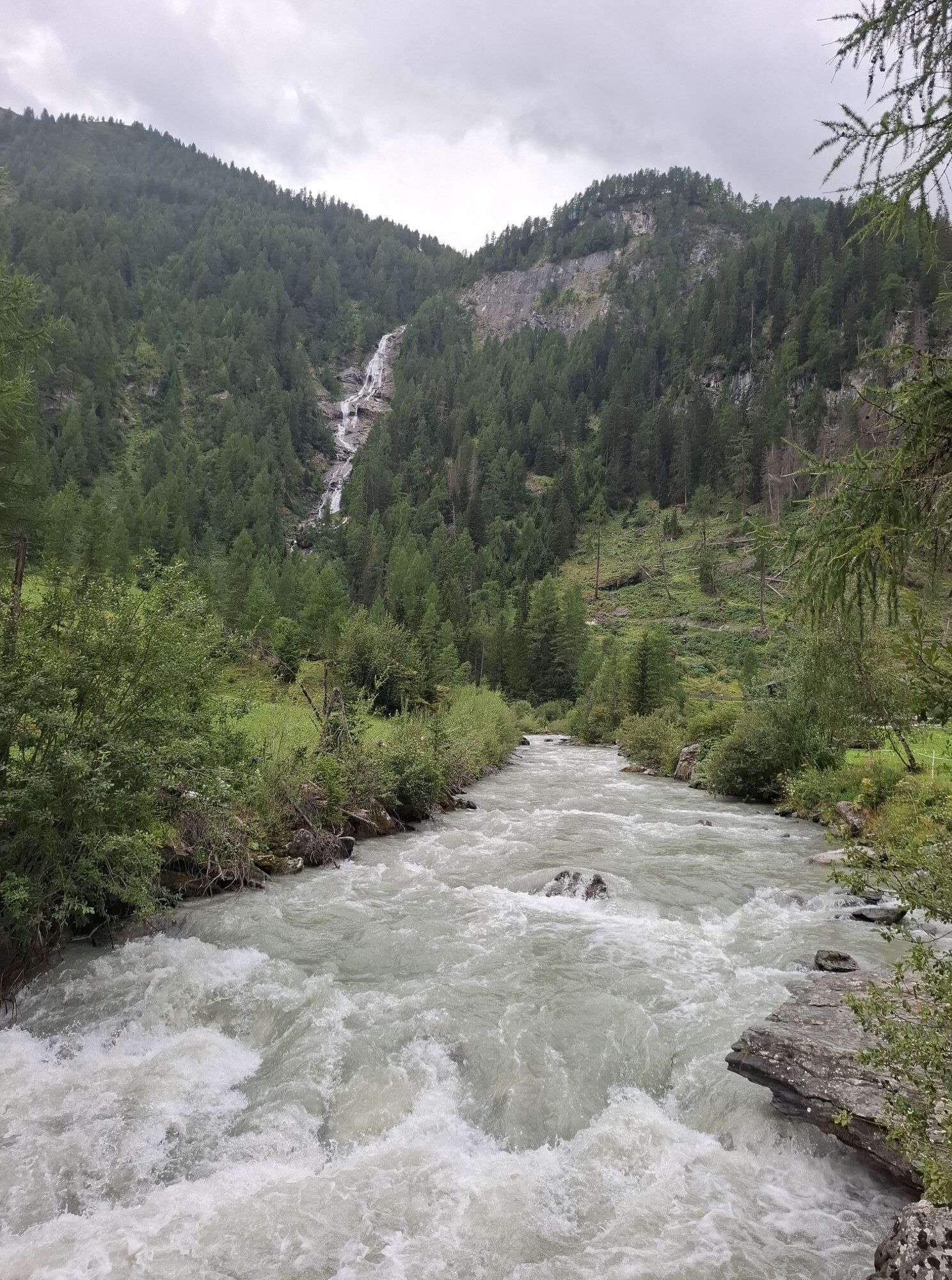
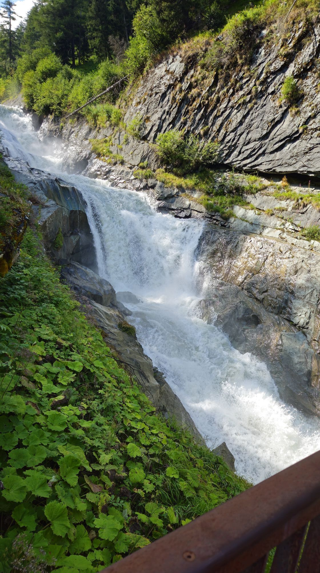
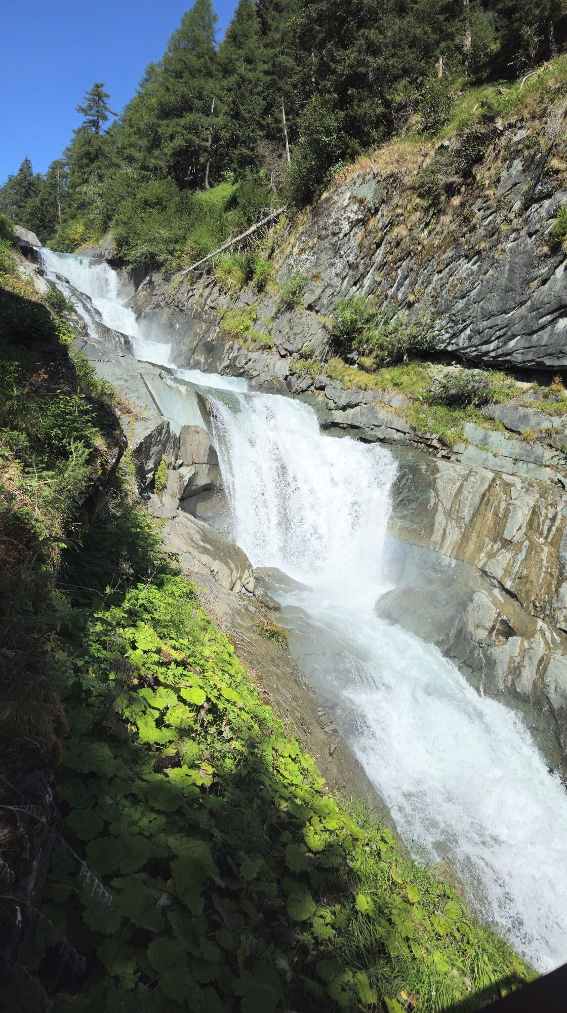
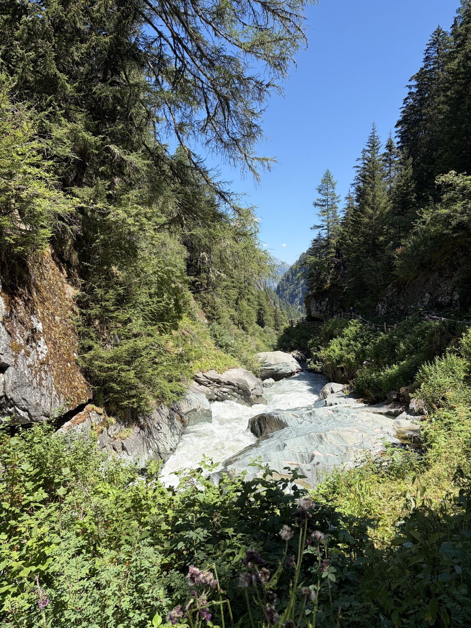
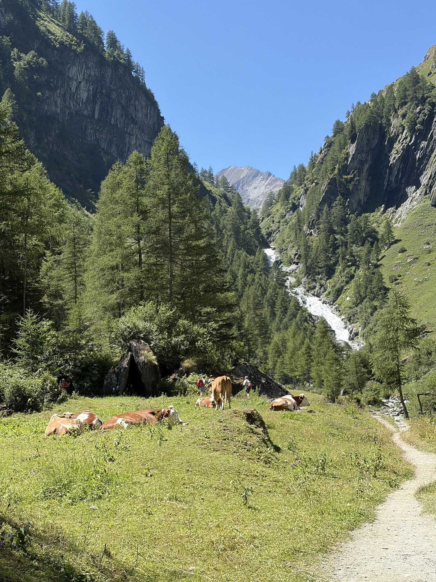
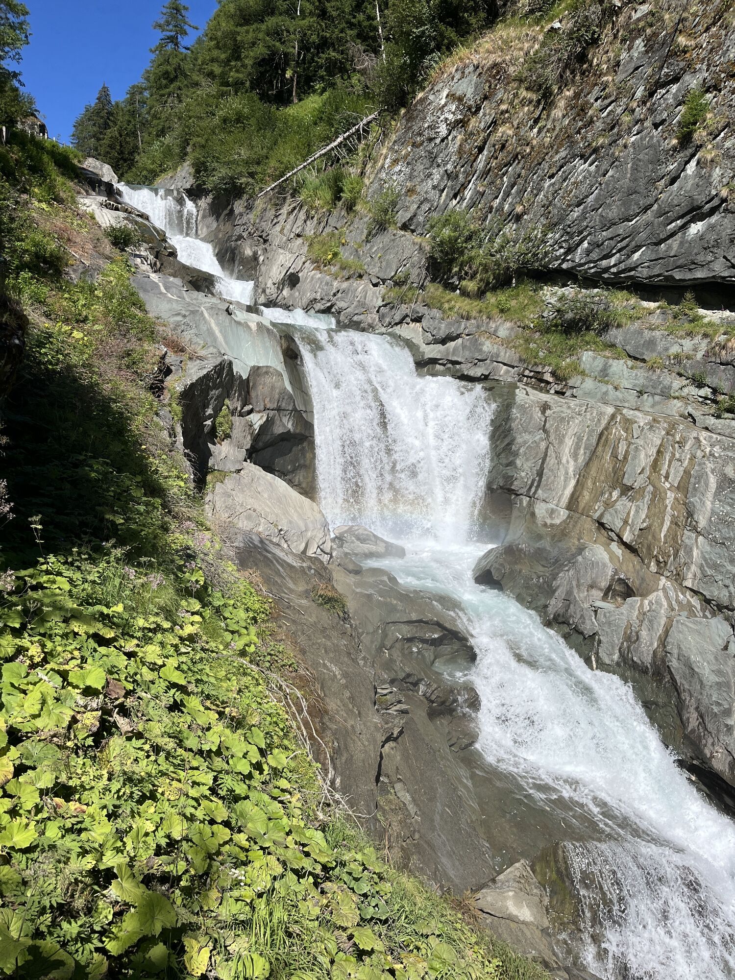
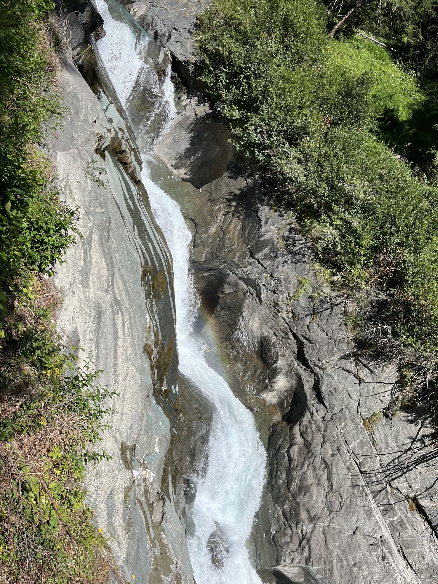
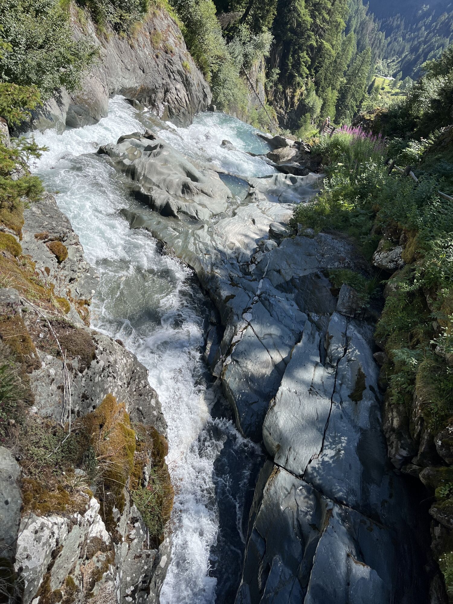
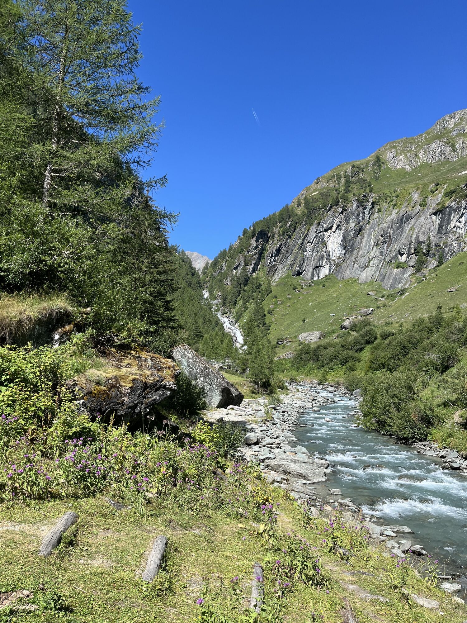
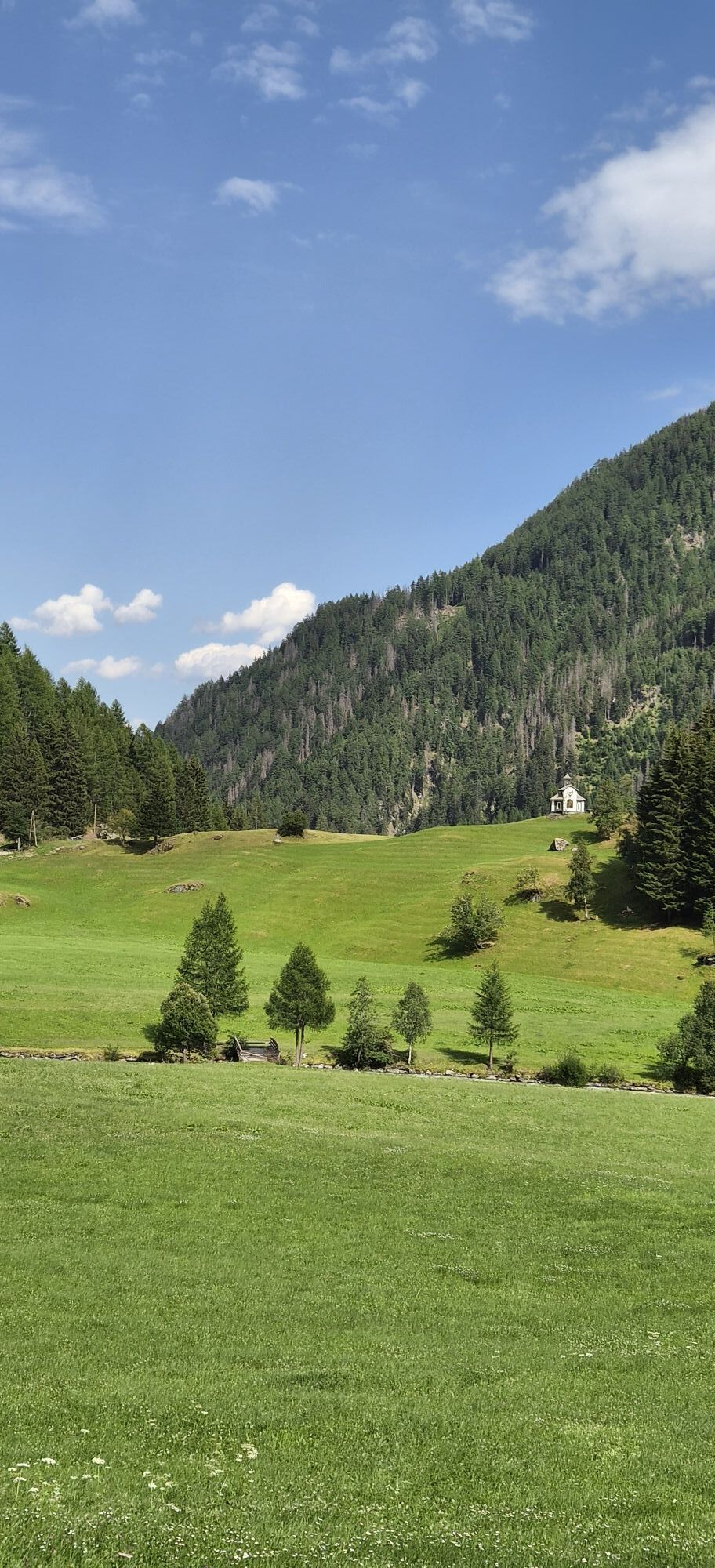
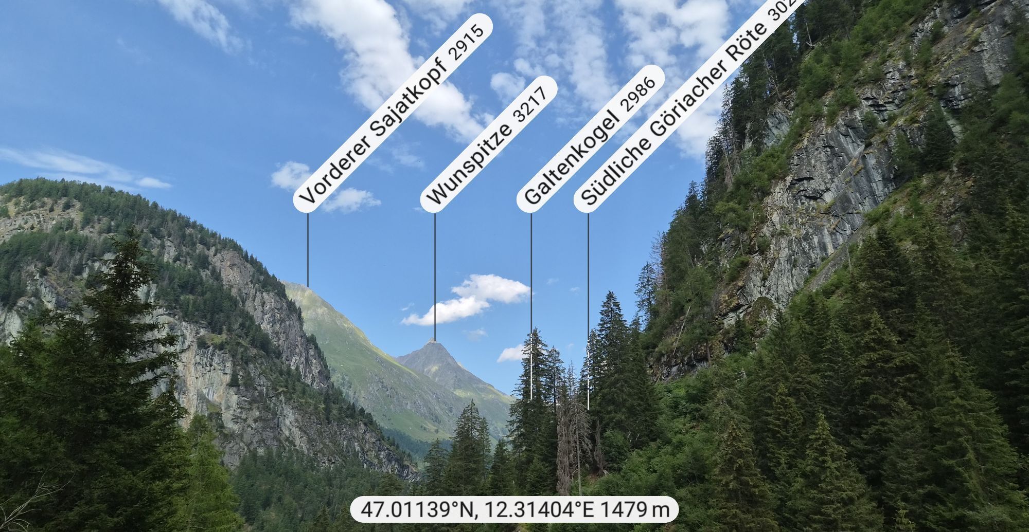
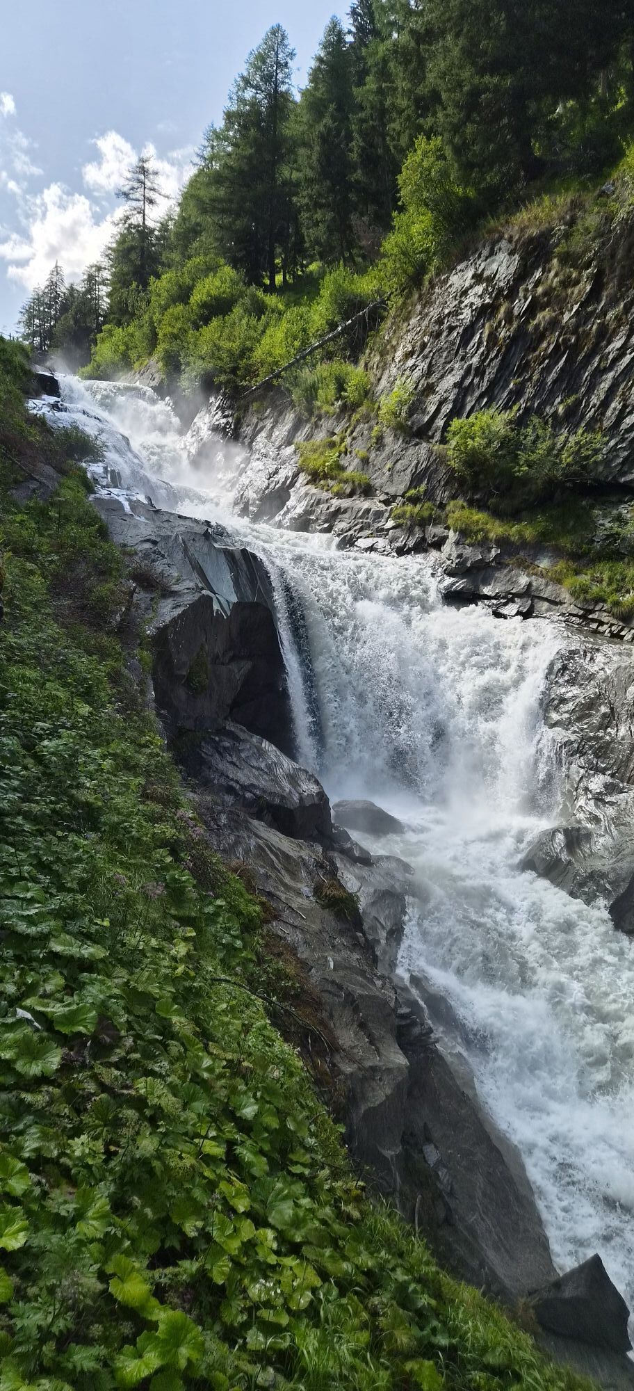
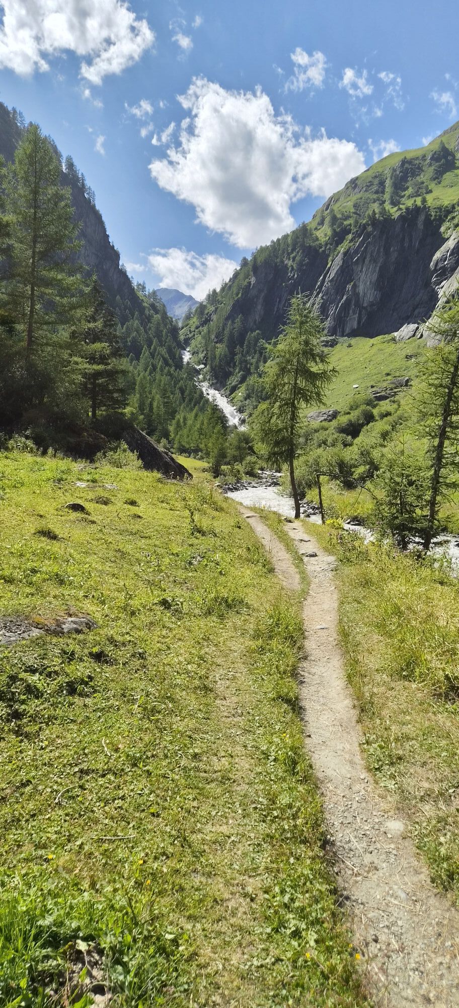
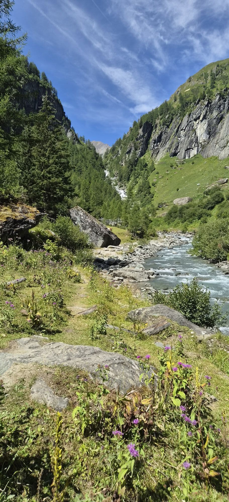
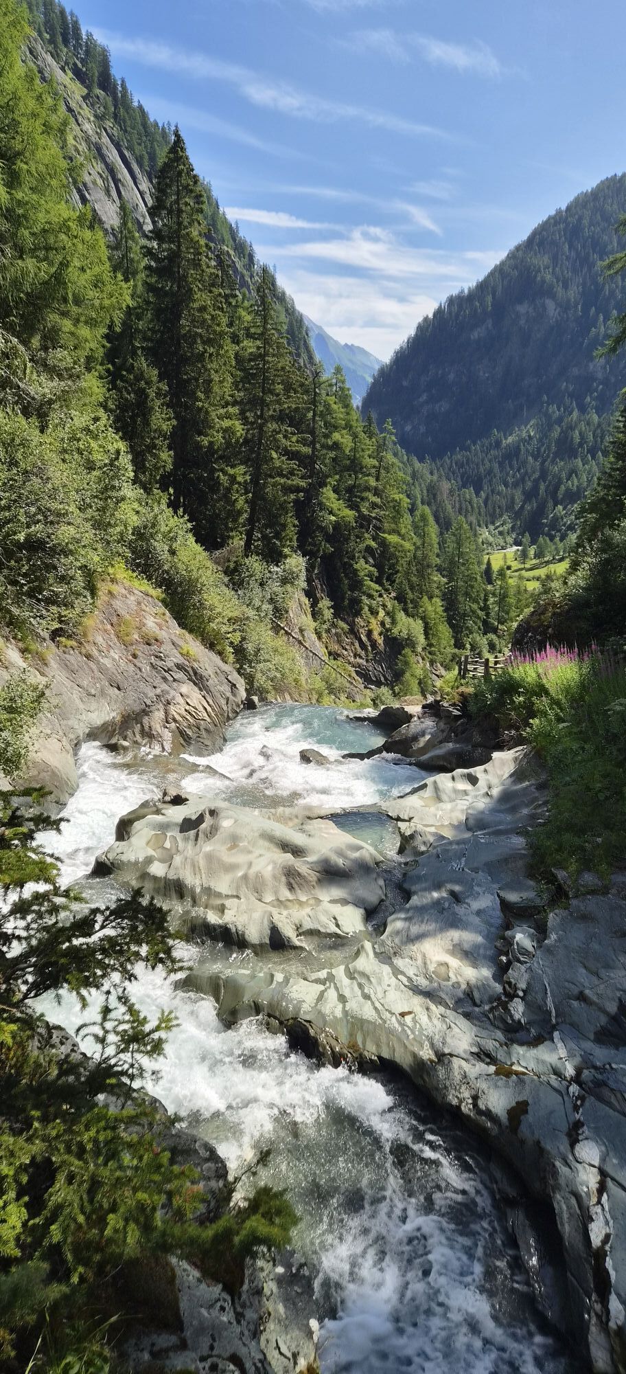
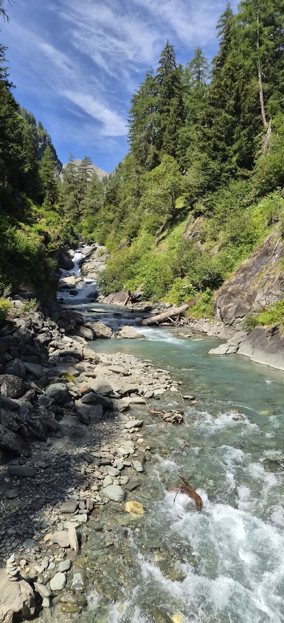
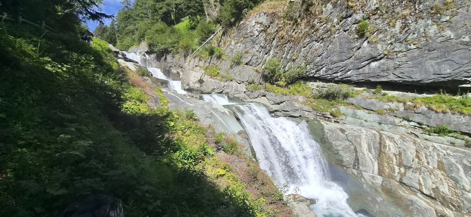
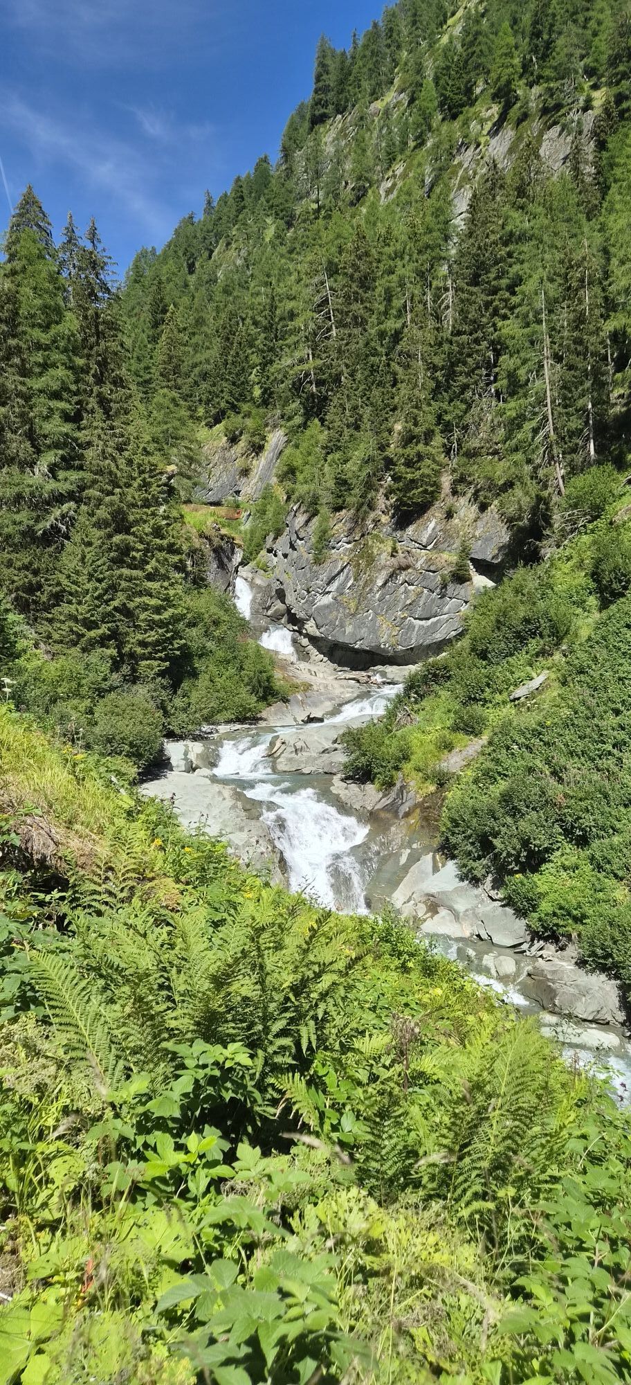
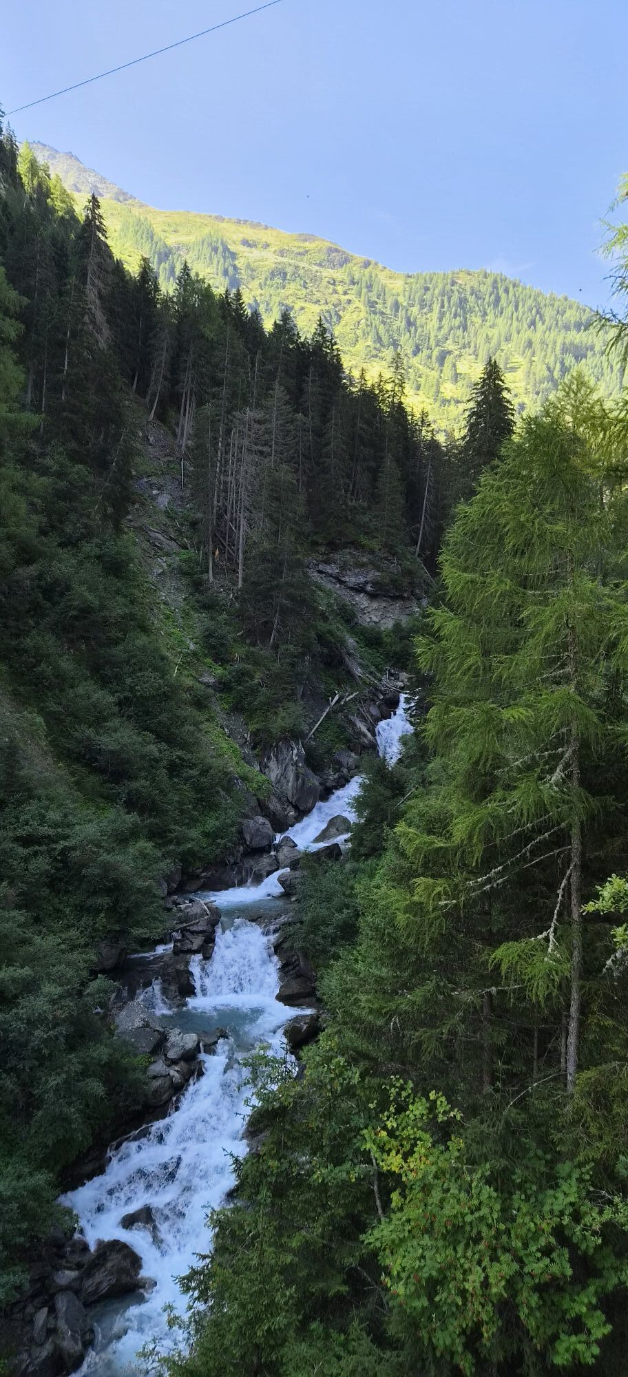
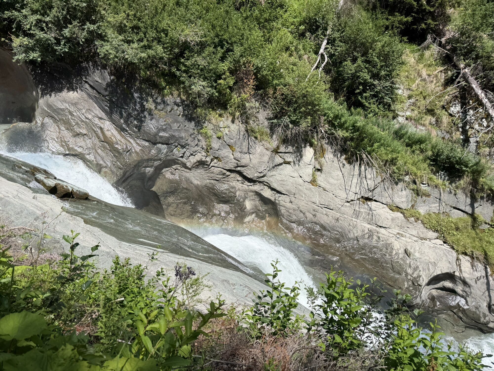
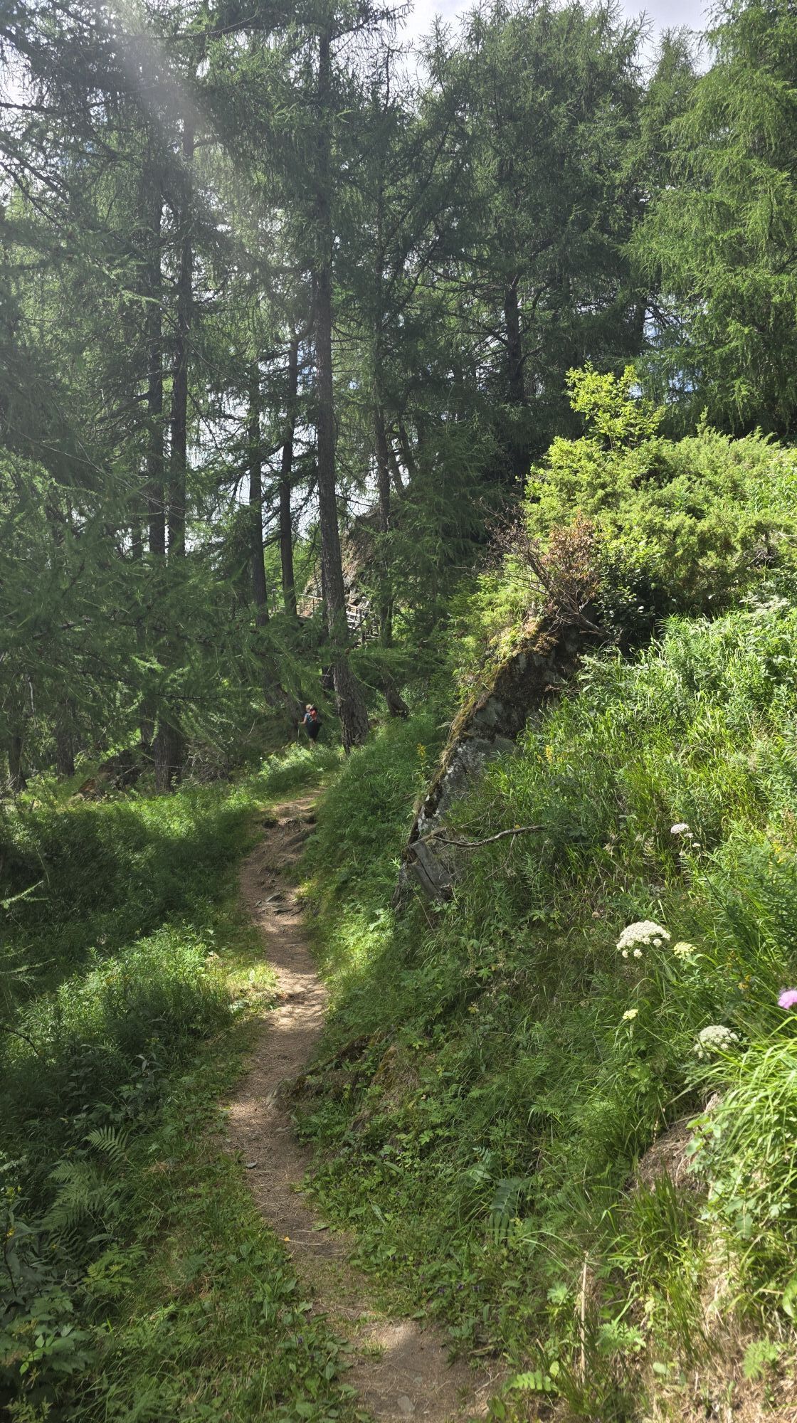
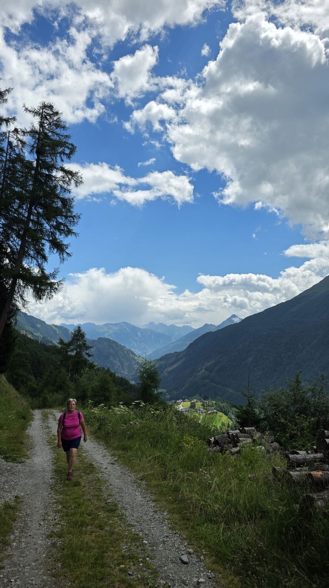
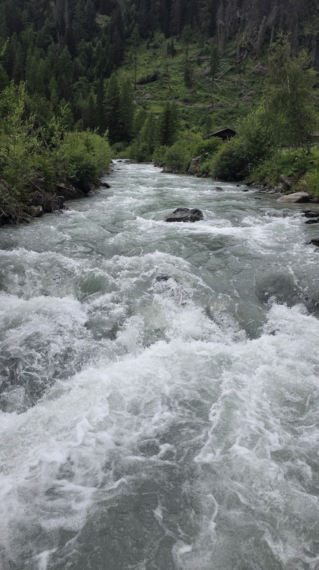
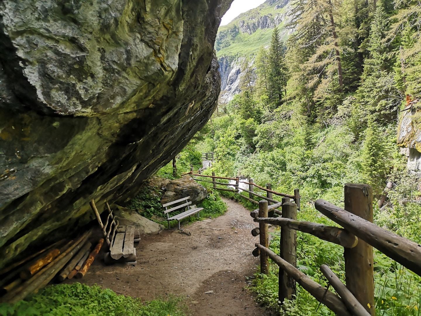
From the Stabanthütte, take the road past the Lumalm to Hinterbichl and Gasthof Islitzer. Cross the rushing Isel and continue to Ströden. A wide, mostly flat track takes you to the Islitzeralm, where you...
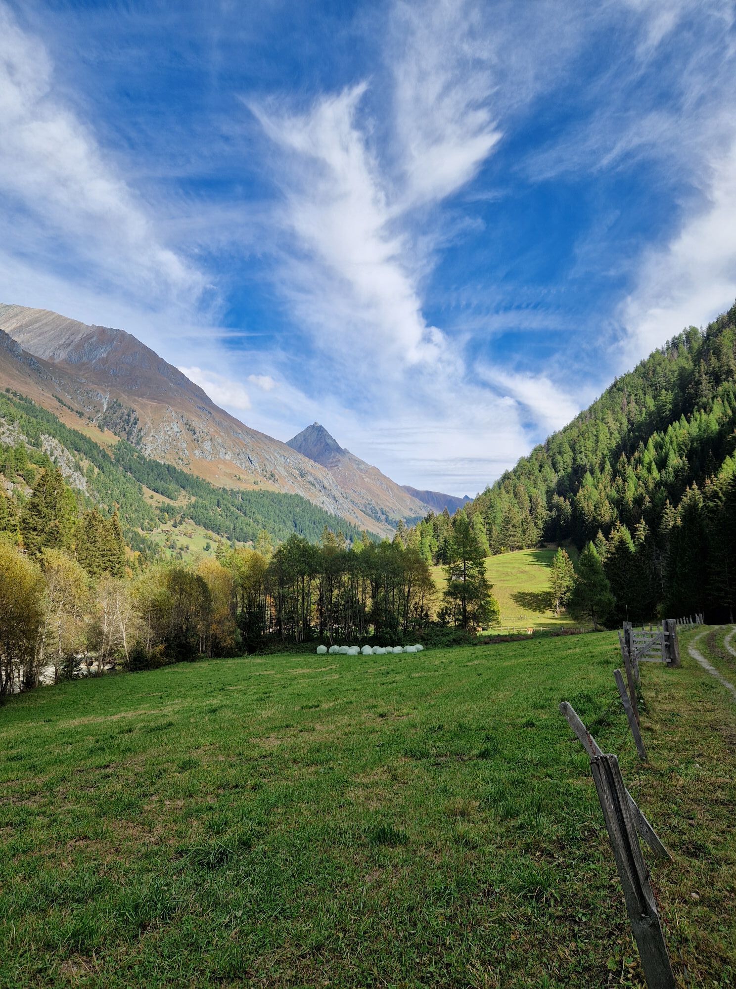
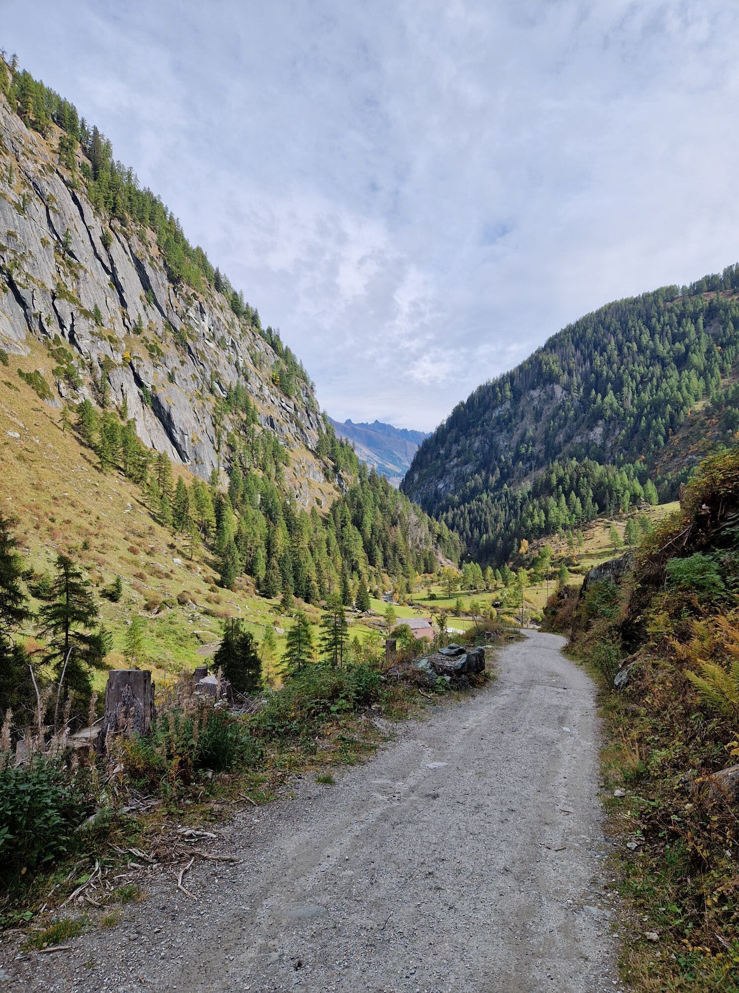
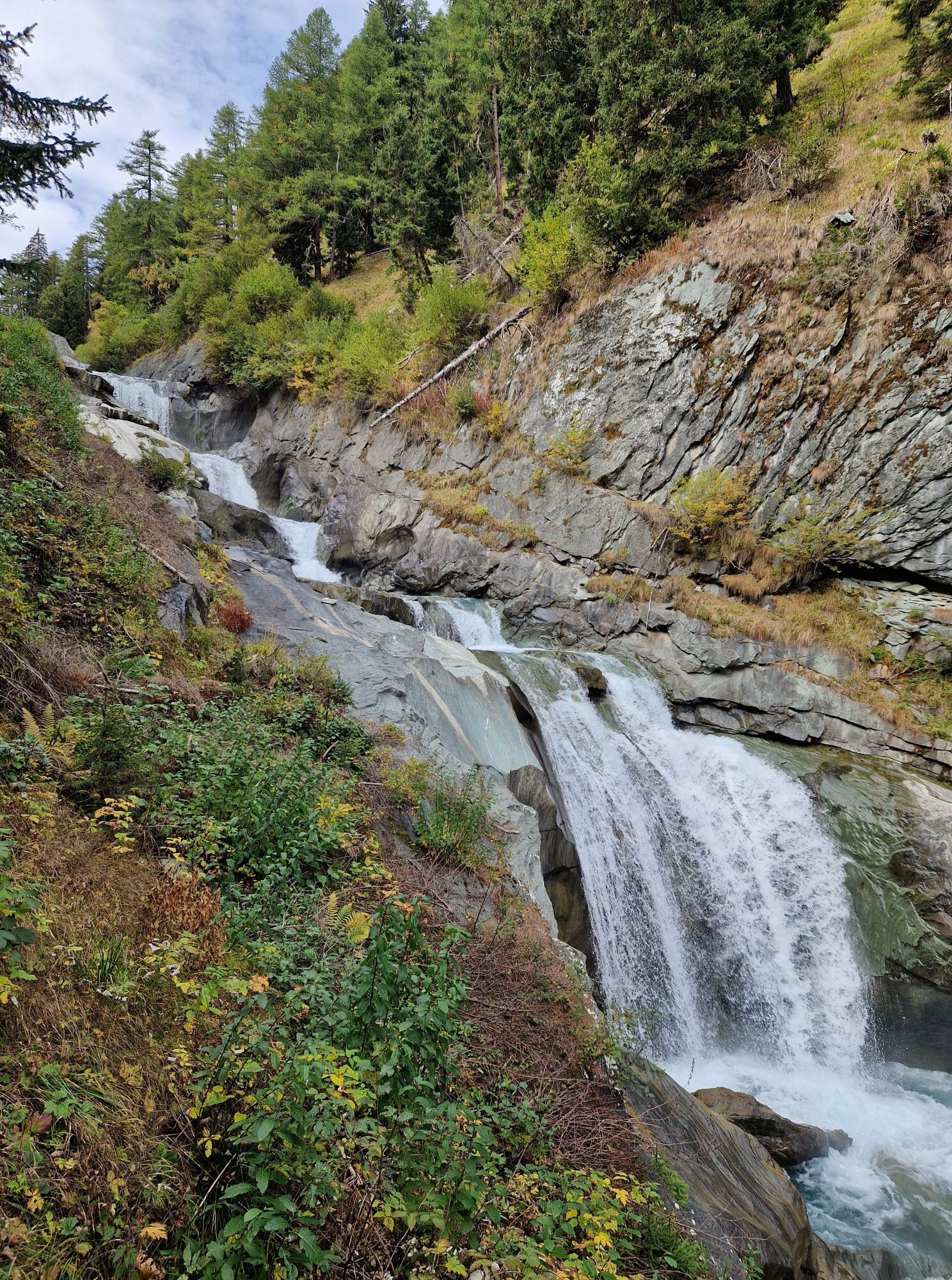
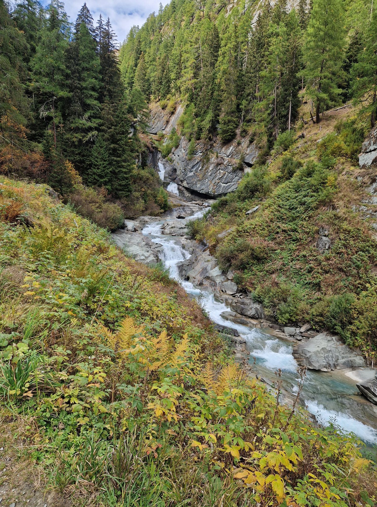
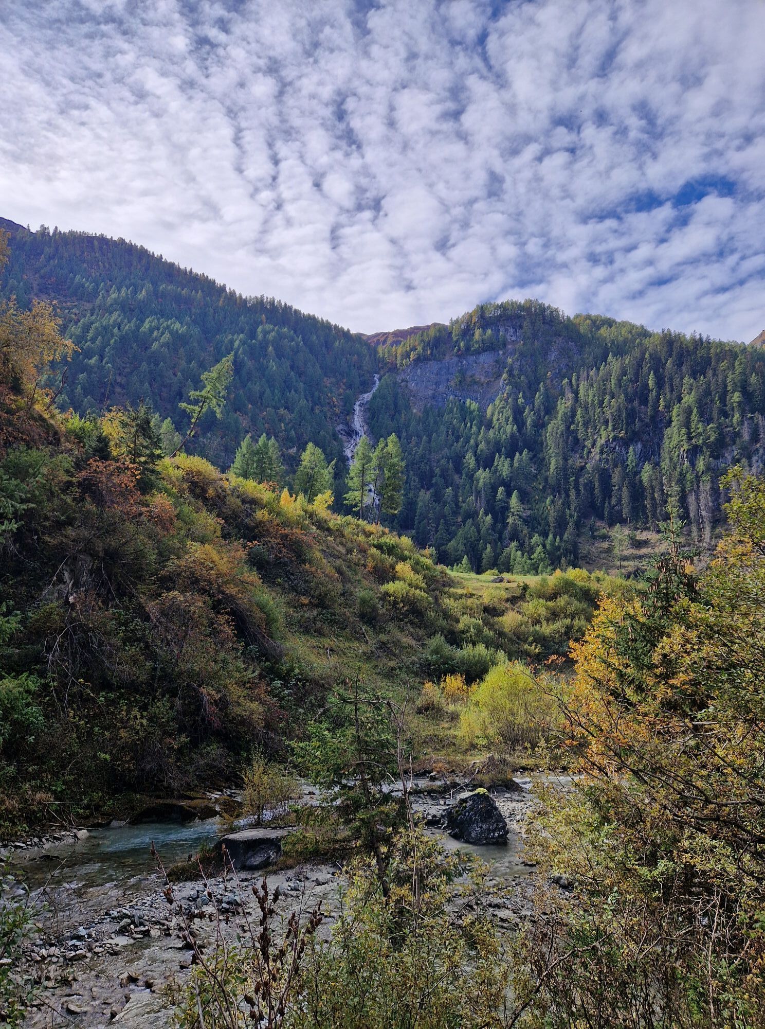
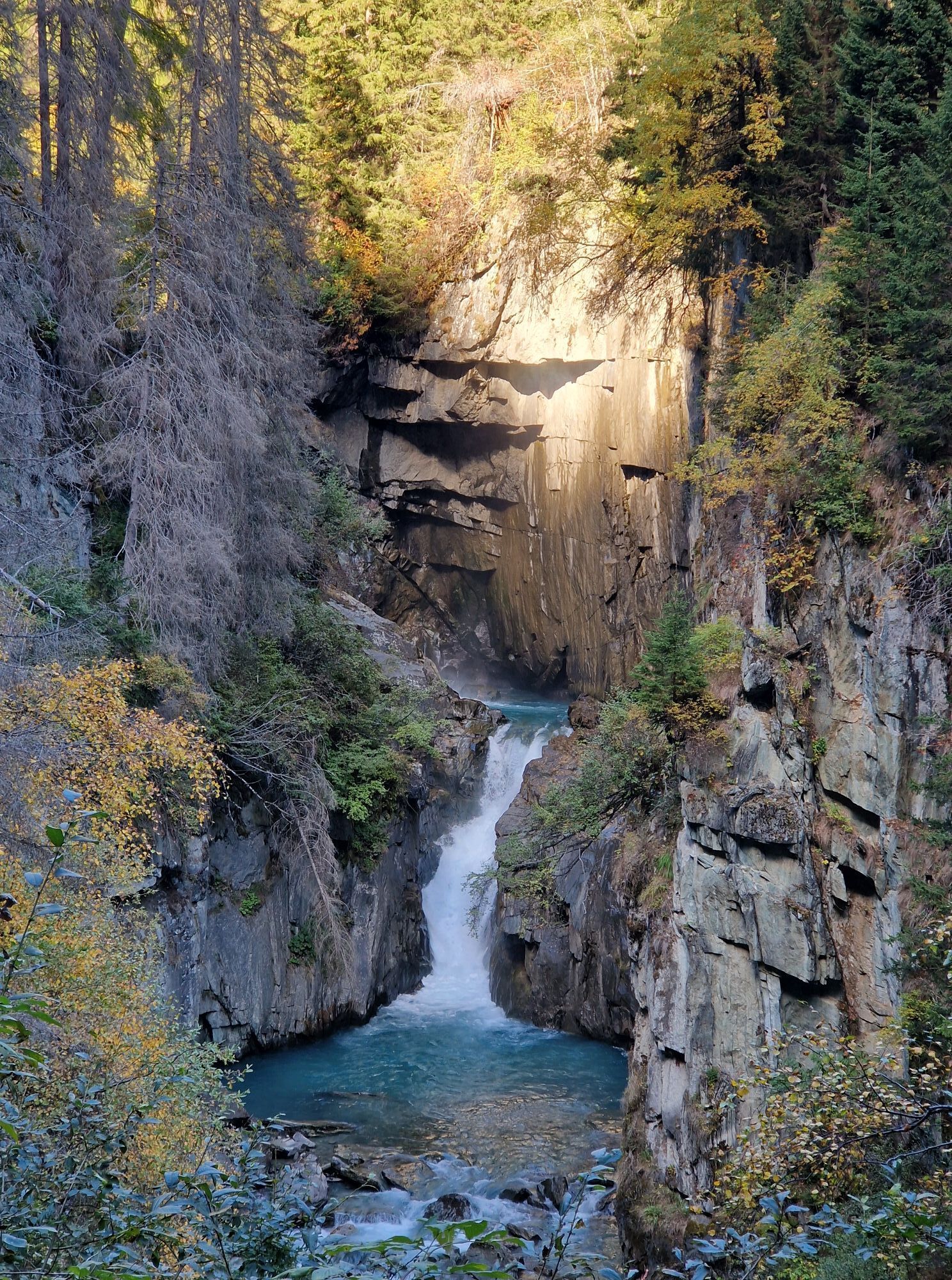
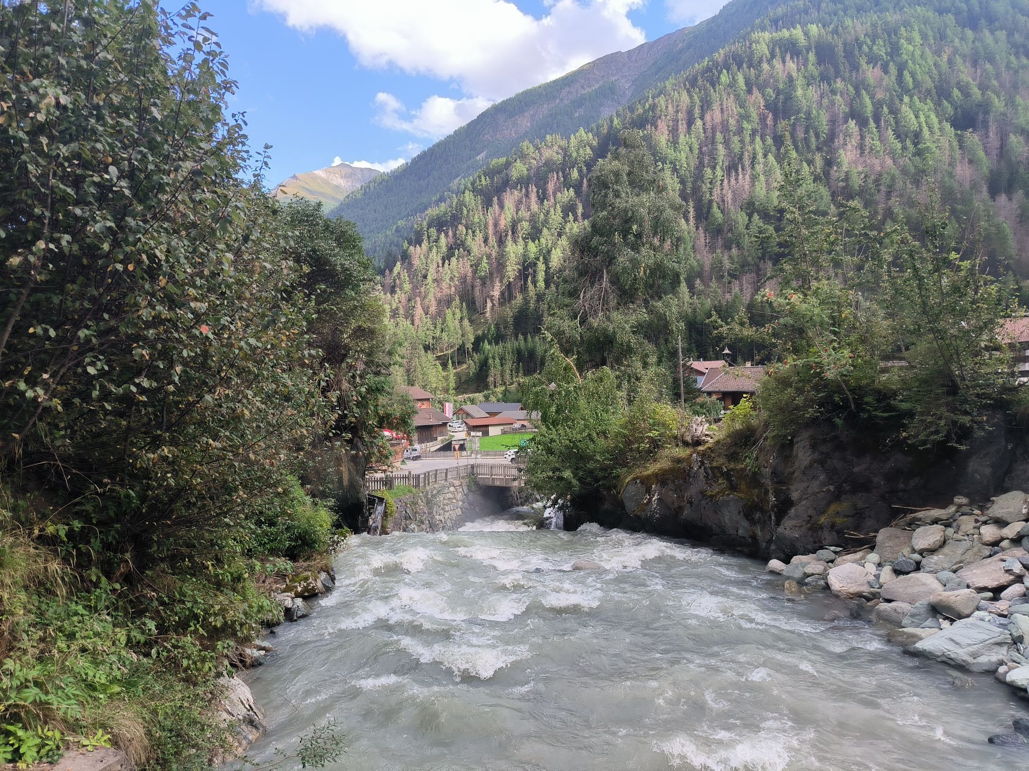
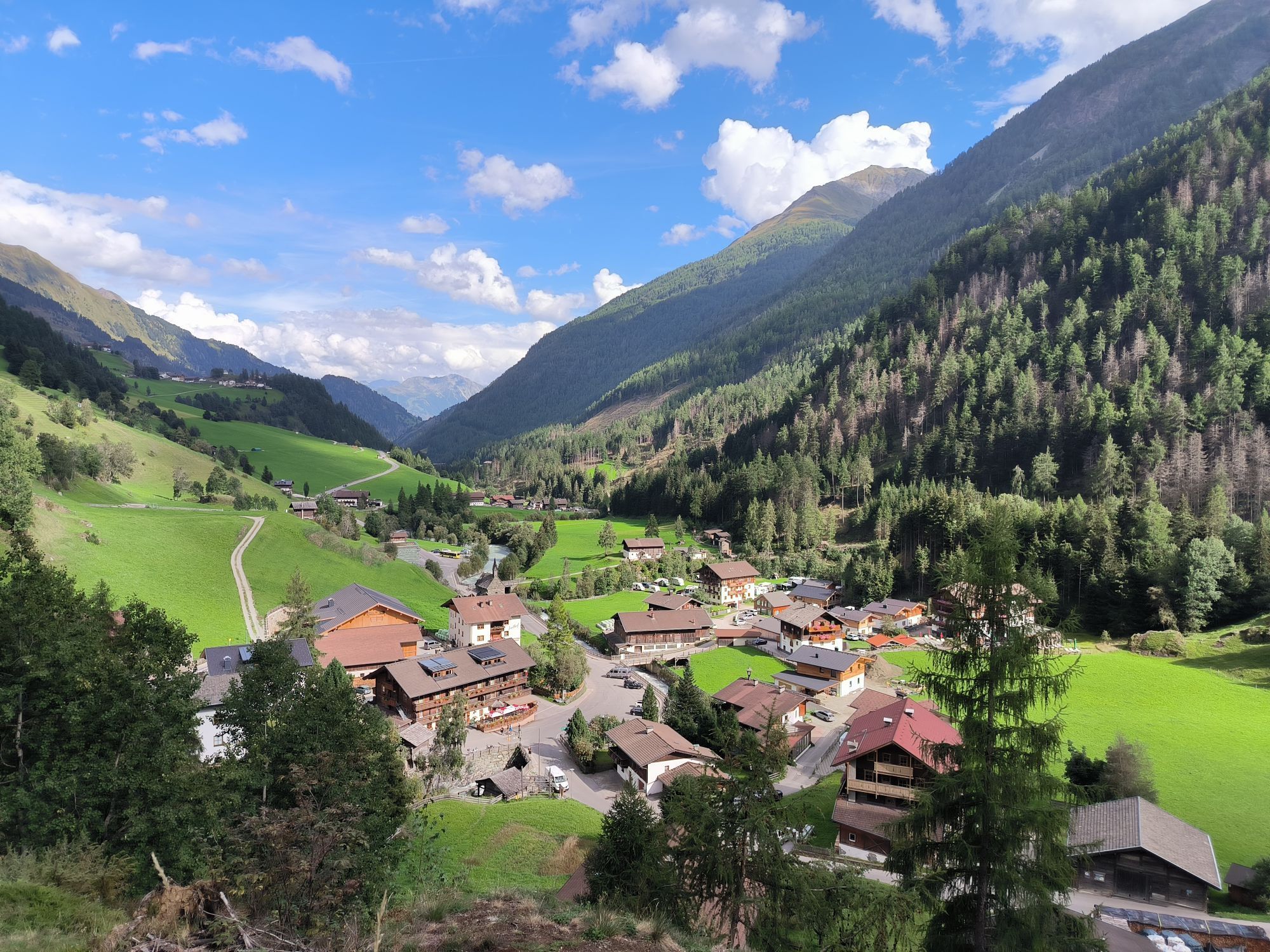
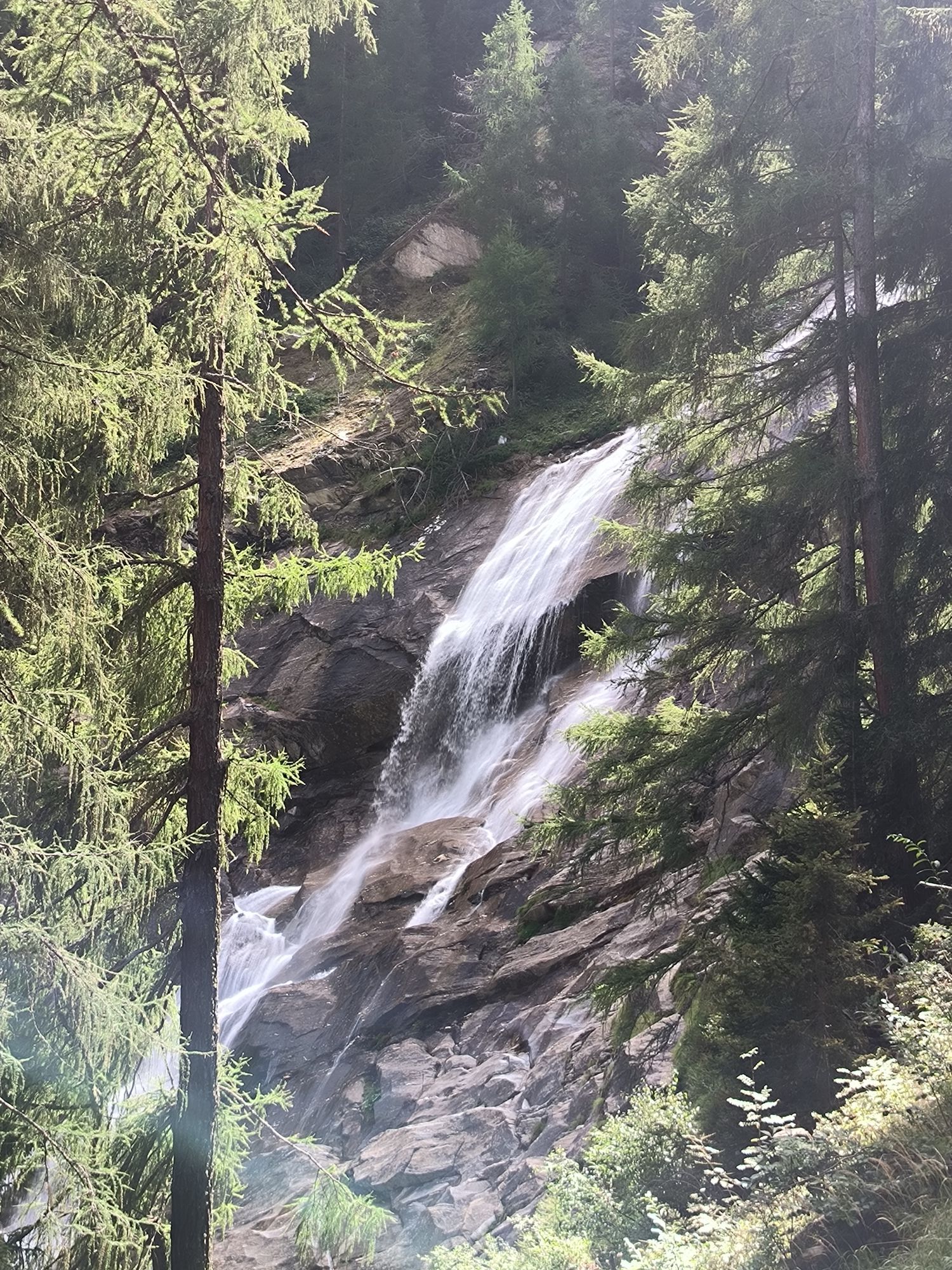
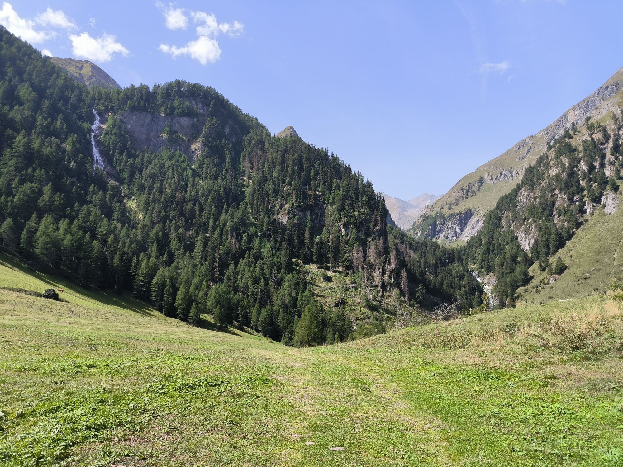
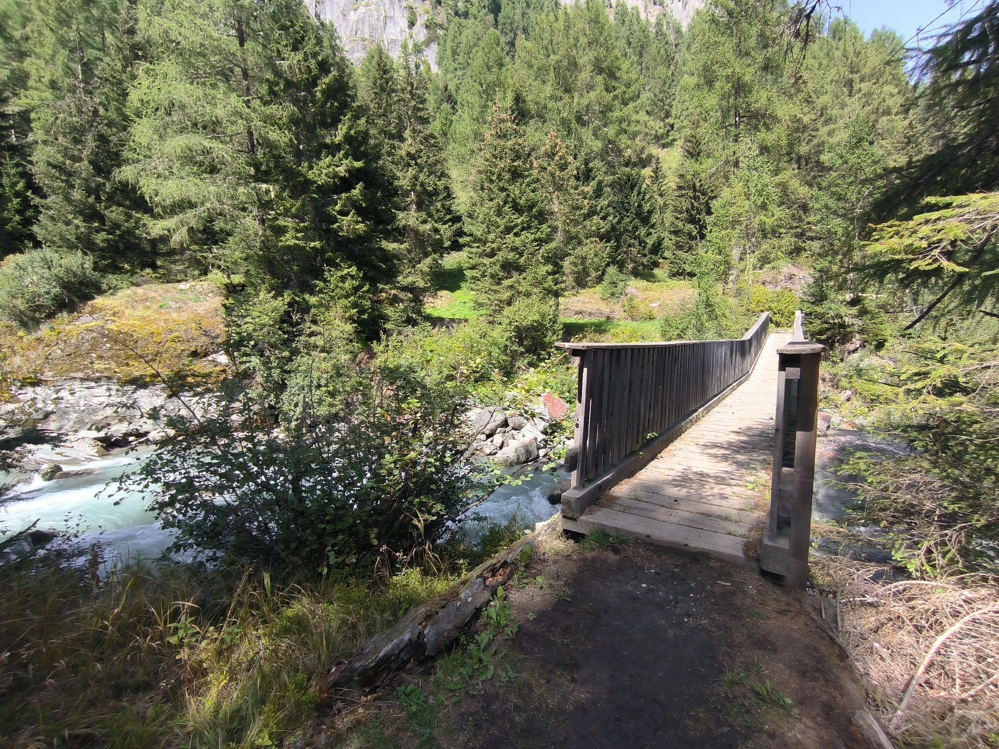
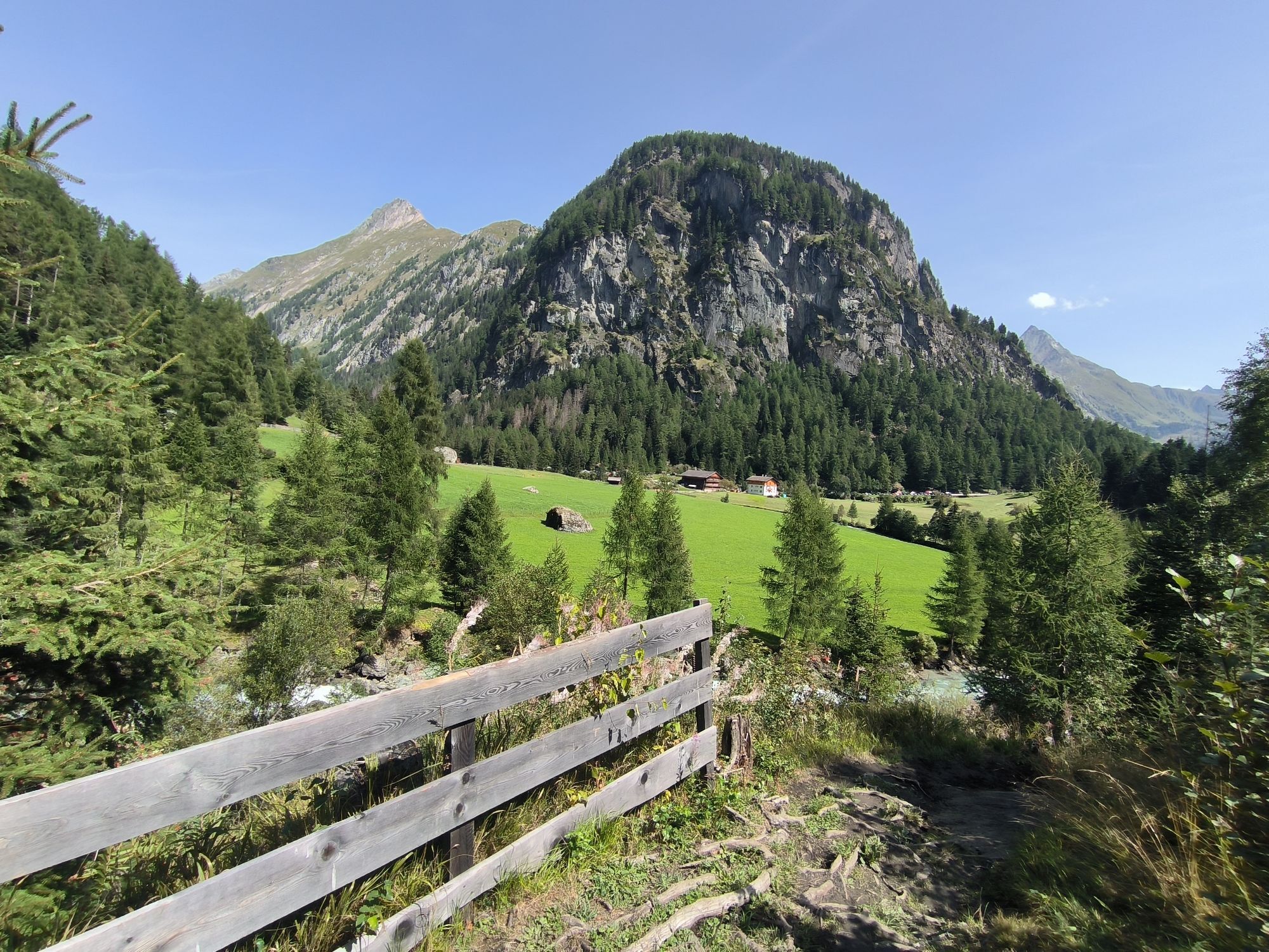
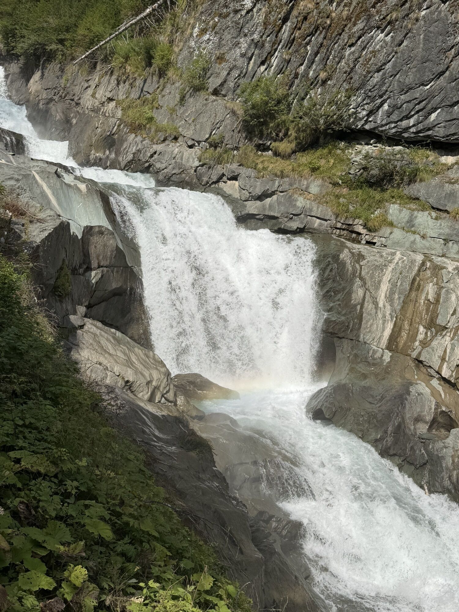
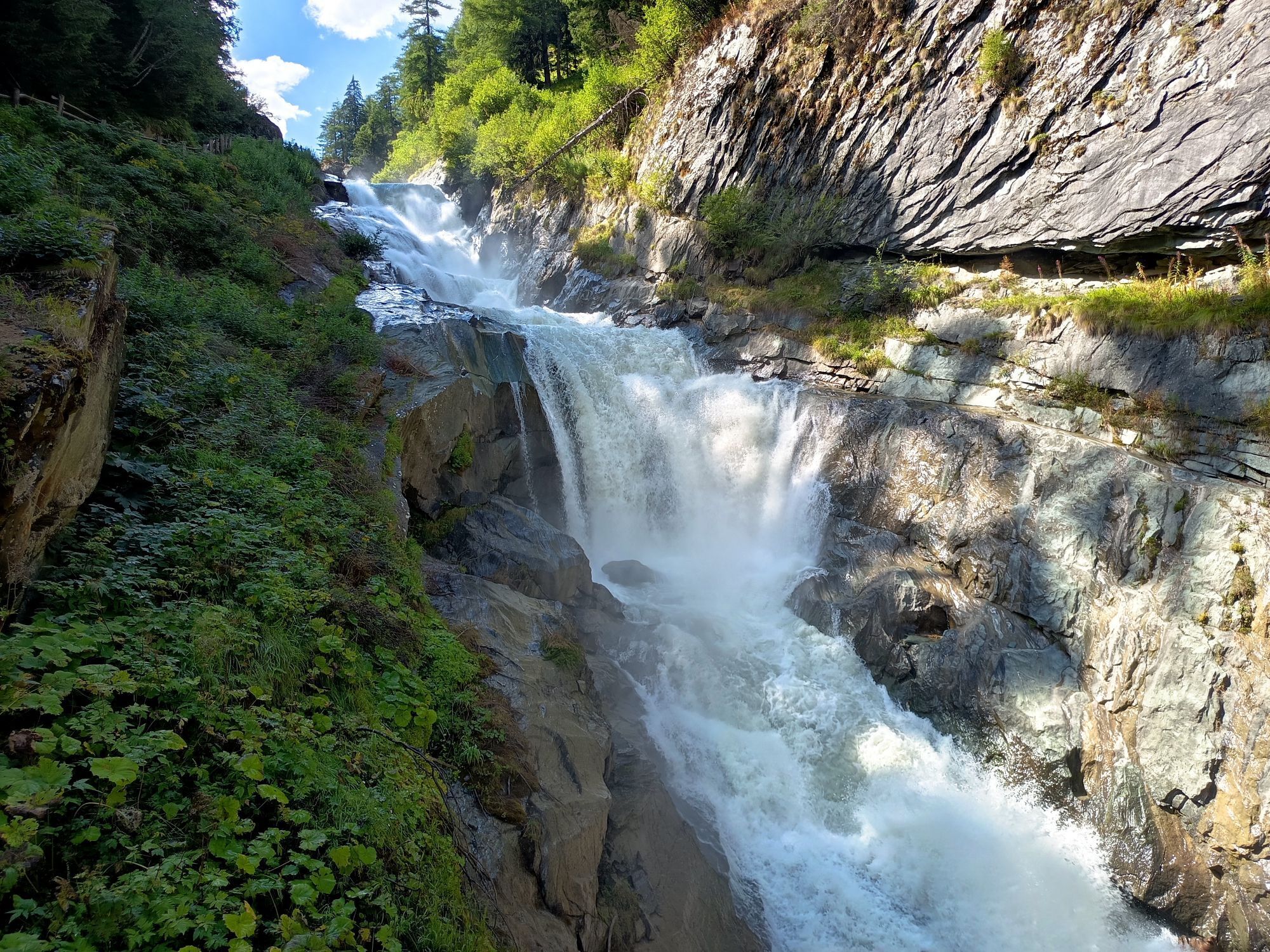
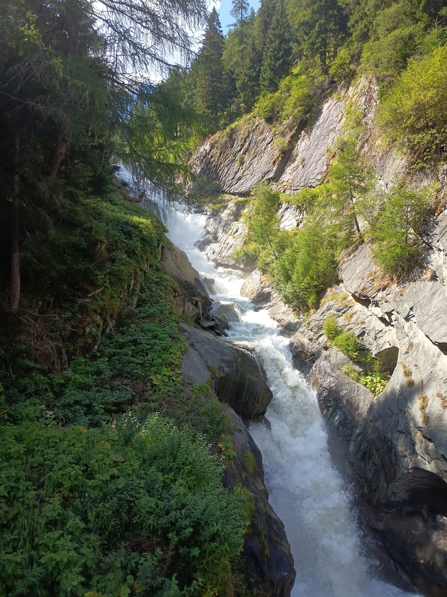
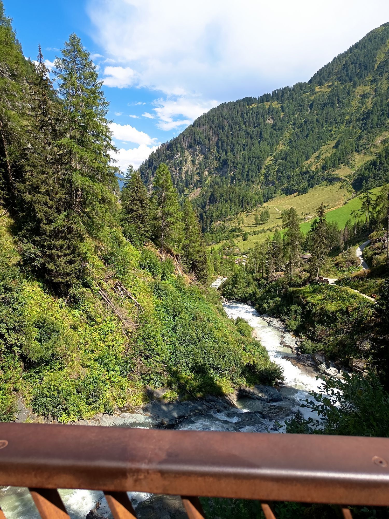
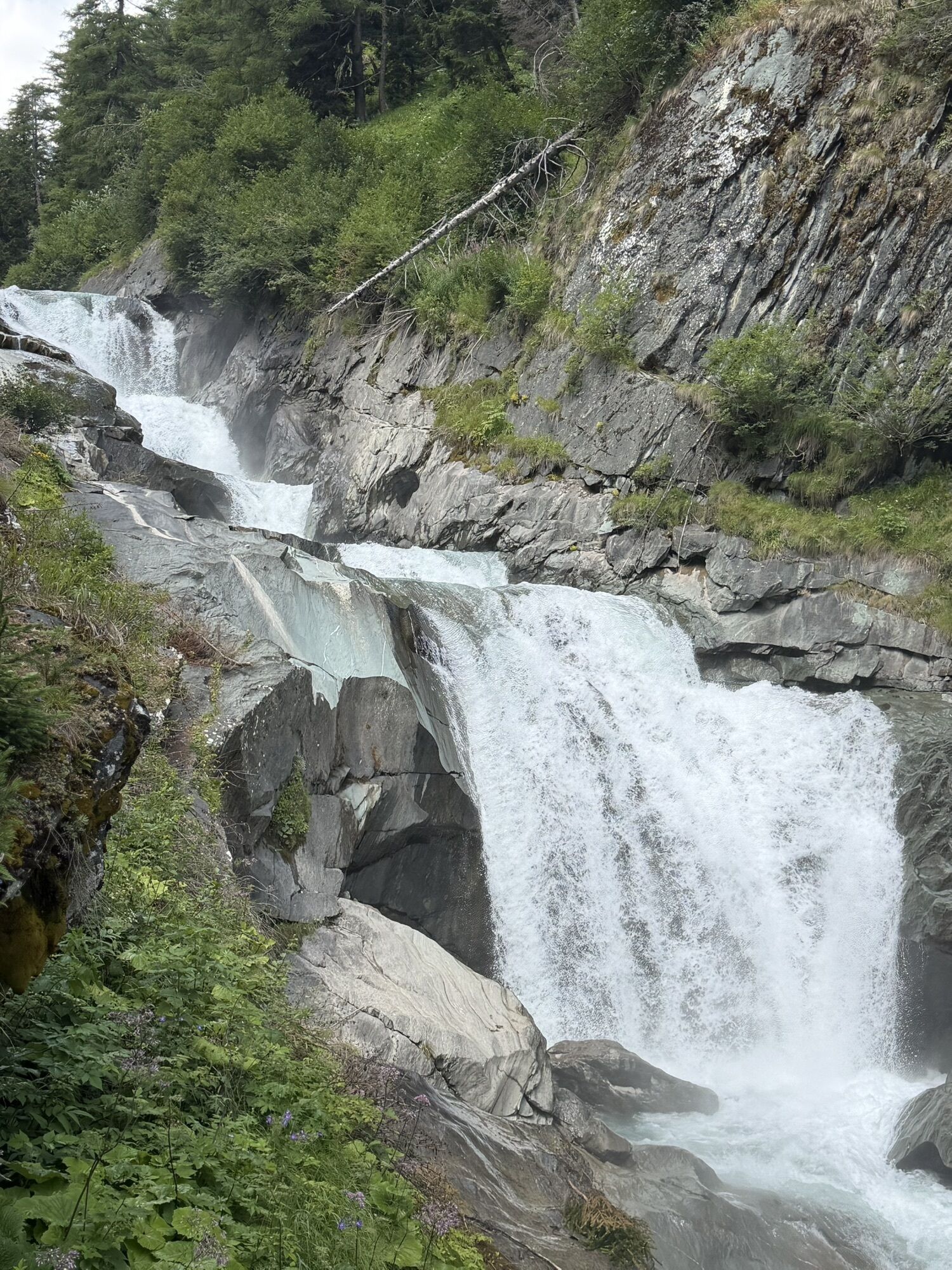
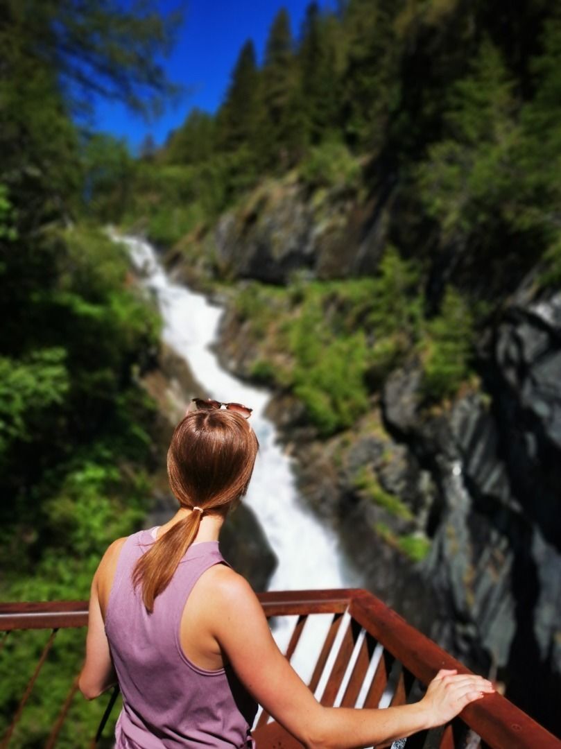
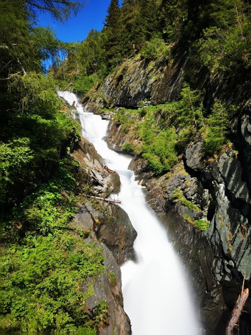
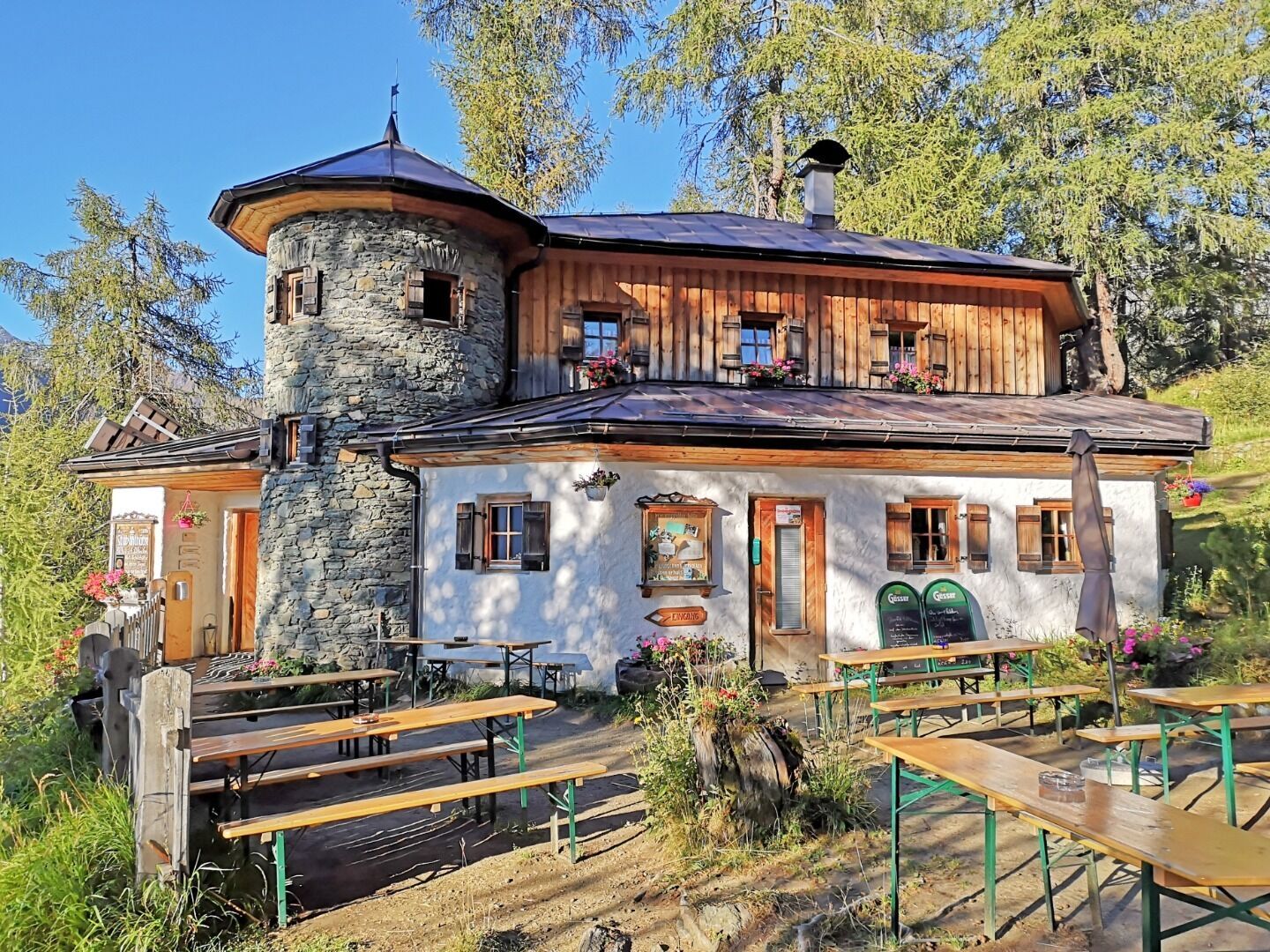
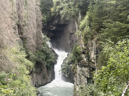
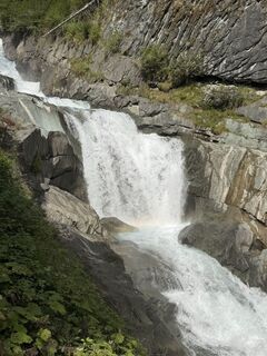
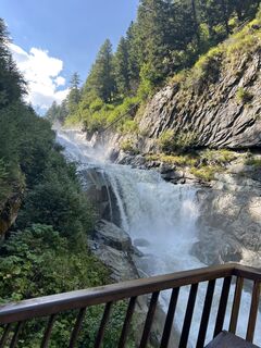
From the Stabanthütte, take the road past the Lumalm to Hinterbichl and Gasthof Islitzer. Cross the rushing Isel and continue to Ströden. A wide, mostly flat track takes you to the Islitzeralm, where you can stop for refreshments. The Islitzeralm is located at the foot of the Umbal Falls, the stage destination, where the water show trail takes you up close to the thundering waterfalls. A detour to the viewing platforms is an unforgettable experience.


Basic equipment for mountain hiking includes sturdyâ¯hikingâ¯boots with a good tread, a 30-35 liter backpack, and functional clothing based on the layering principle, including sufficient spare clothes. Essential items are rain, cold, and sun protection, adequate fluids and food, as well as a first-aid kit and a charged mobile phone. A map or a GPS device supports orientation.
The information serves as a guideline and does not claim to be exhaustive. Equipment must always be adapted to theâ¯planned route, weather conditions, season, natural hazards, environmental influences, and personal needs.
or
Bus stop Prägraten a. G. Ströden
or
Car park Ströden

Kamery internetowe z trasy

Aktywności na trasie
-

Hinterbichl, Tirol/Österreich
17.08.2026 – Nordic Walking -
Prägraten am Großvenediger, Tirol/Österreich
16.08.2026 – Wędrówka -
Prägraten am Großvenediger, Tirol/Österreich
06.08.2026 – Wędrówka -
Prägraten am Großvenediger, Tirol/Österreich
21.09.2025 – Wycieczki górskie -
Prägraten am Großvenediger, Tirol/Österreich
08.09.2025 – Wędrówka -
Prägraten am Großvenediger, Tirol/Österreich
11.08.2025 – Wędrówka -

Hinterbichl, Tirol/Österreich
27.06.2024 – Wędrówka
Popularne wycieczki w okolicy
-
4,8
NaturKraftWeg Umbalfälle
światłoTrasa tematyczna 5,99 km -
4,2
Gletscherlehrweg Innergschlöß
średniWędrówka 9,36 km -
4,8
Circular hike suspension bridge Isel Canyon via "Hohe Bank"
średniWędrówka 8,11 km -
4,6
Circular hike Proßeggklamm
średniWędrówka 8,41 km -
4,8
Stoden - Clarahütte
średniWędrówka 7,12 km -
4,9
Oberhausalm - Jagdhaushütte
światłoWędrówka 14,0 km -
4,4
Seespitze
średniWędrówka 13,7 km -
3,6
Krimmler Tauernhaus - Warnsdorfer Hut - Gamsspitzl
ciężkiWędrówka 10,5 km -
5,0
Muhs-Panoramaweg
średniWędrówka 14,0 km -
4,8
Erlsbach Almenrunde zum Klammljoch
średniMountainbike 35,3 km
Wędrówki i tropienie


Nie przegap ofert i inspiracji na następne wakacje
Twój adres e-mail została dodana do listy mailingowej.





